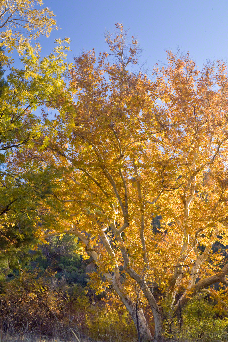
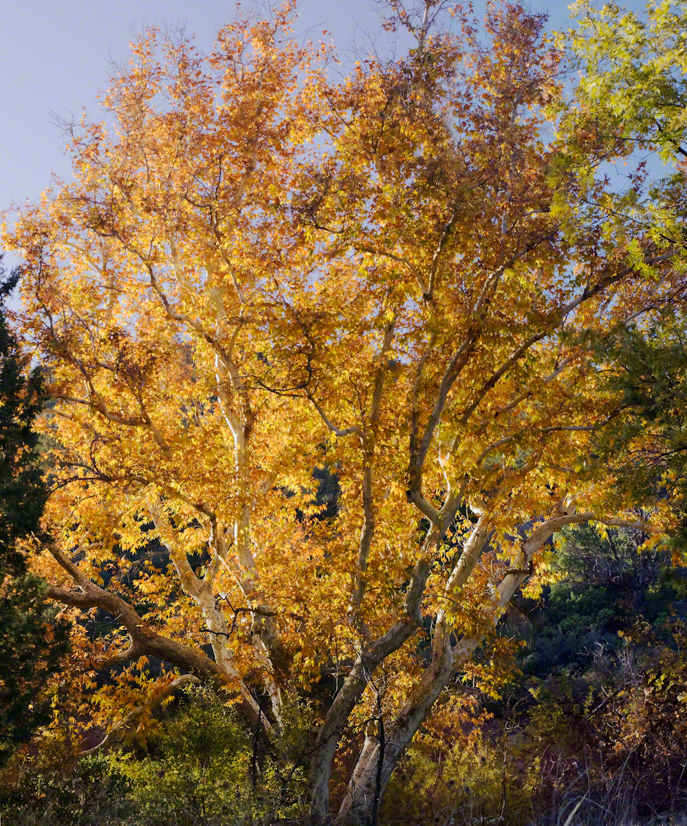
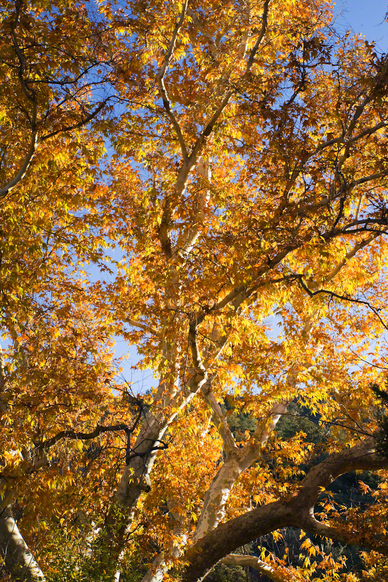
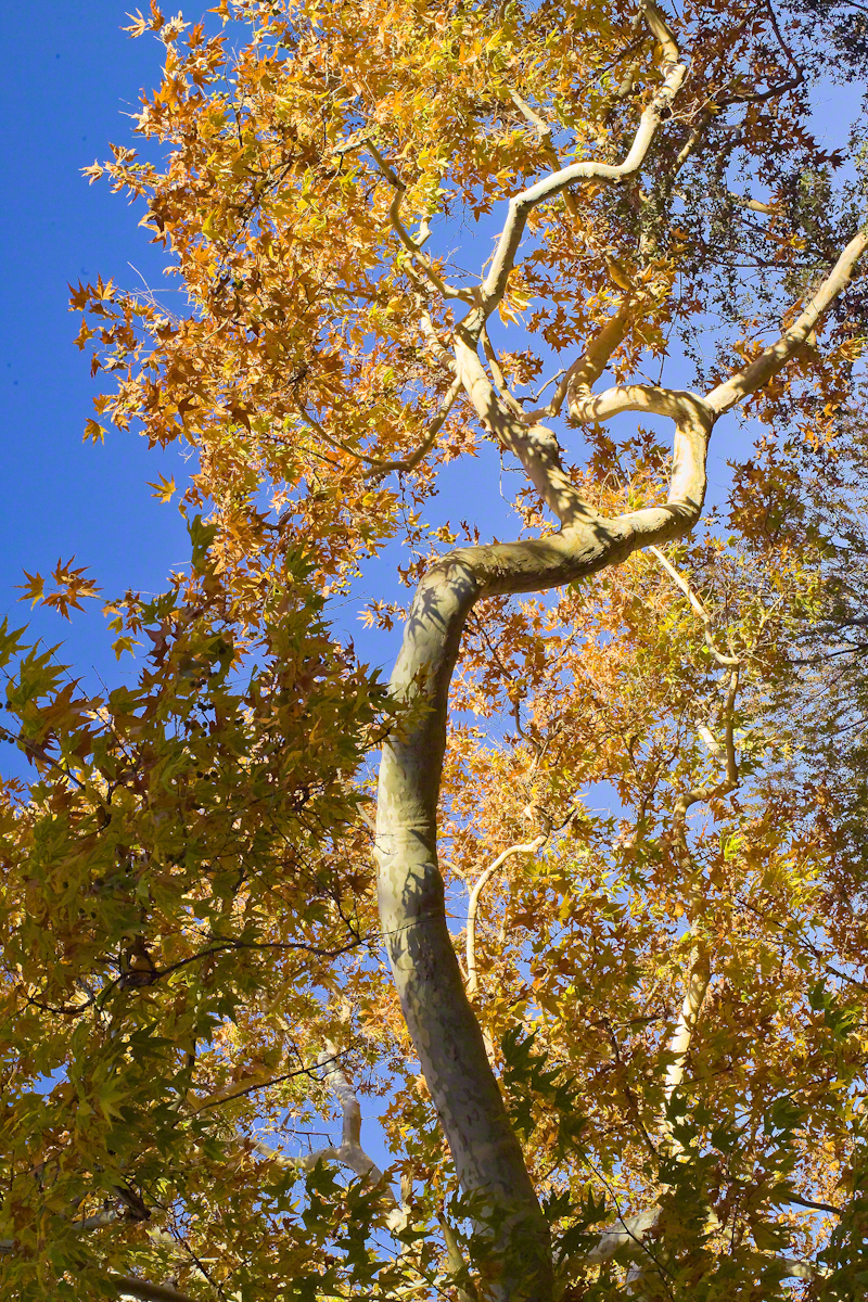
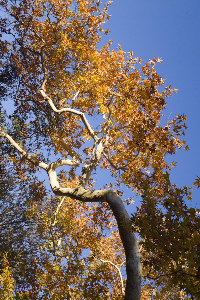
Compare these Arizona Sycamores with the struggling specimen from the last chapter, “A Peaceful Day at Pine Creek.” Many Sycamores such as this one flourish along Reavis Creek, a perennial stream of the eastern Superstition Wilderness. The drainage that feeds Pine Creek is far less acreage than that of Reavis Creek and, when the Pine Creek flow fades in the driest seasons, plants go into survival mode and halt growth and may even slough off limbs to conserve water.
These Sycamores grace a stream that seldom stops flowing, even in the driest of seasons. I had the good fortune to visit the Reavis valley of the Superstition Wilderness in November 2007, when these trees were at peak autumn foliage.
The tree requires a supply of water to thrive. This specimen demonstrates the species growth habit growing multiple trunks with a shape driven by water availability and the environmental context. The multiple trunks may be a desert survival mechanism. In dry periods a trunk or trunks are sloughed off to reduce moisture loss. This is why the Sycamore of “A Peaceful Day at Pine Creek” has a single trunk.”
To encounter a riparian space of the Arizona desert is a revelation, to progress from Sonoran desert spaces assailed by the breath of dry wind, to see the first signs of water in the distance as a welcome fluttering of leaves, to feel a welcome odor of water.
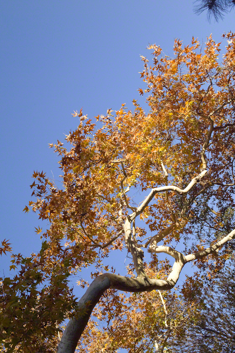
Yes, the first effect of a riparian space on the senses is the smell of water. Let’s finish this post with limbs of the Reavis Creek Arizona Sycamore reaching for the sky.
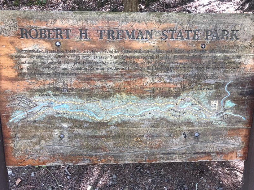
Pam and I headed out to Treman Park for a walk to the Lucifer Falls overlook. The Gorge Trail is not yet open due to the danger of rock falling from the gorge walls — the park maintenance staff needs to survey winter damage and knock down material in danger of falling.
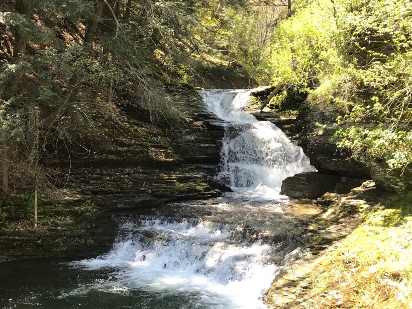
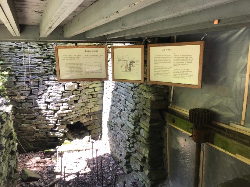
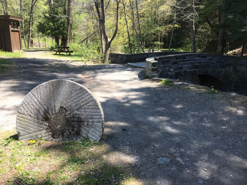
Our first stop was the mill waterfall. This was was directed to the mill stream to power the mill where grain was ground to order.
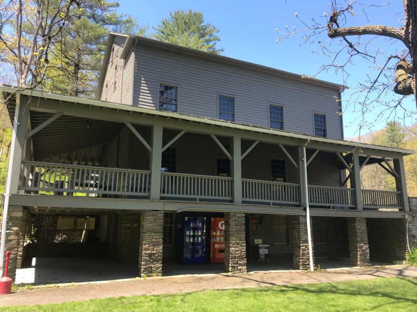
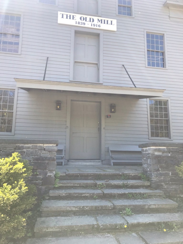
Here is an overview of the Mill, now a museum not yet opened post-Covid. The millstone stands at the start of the foot trails. All media on this post is from my IPhone 7, lightweight equipment for this hike. The automatic upload to ICloud is convenient.
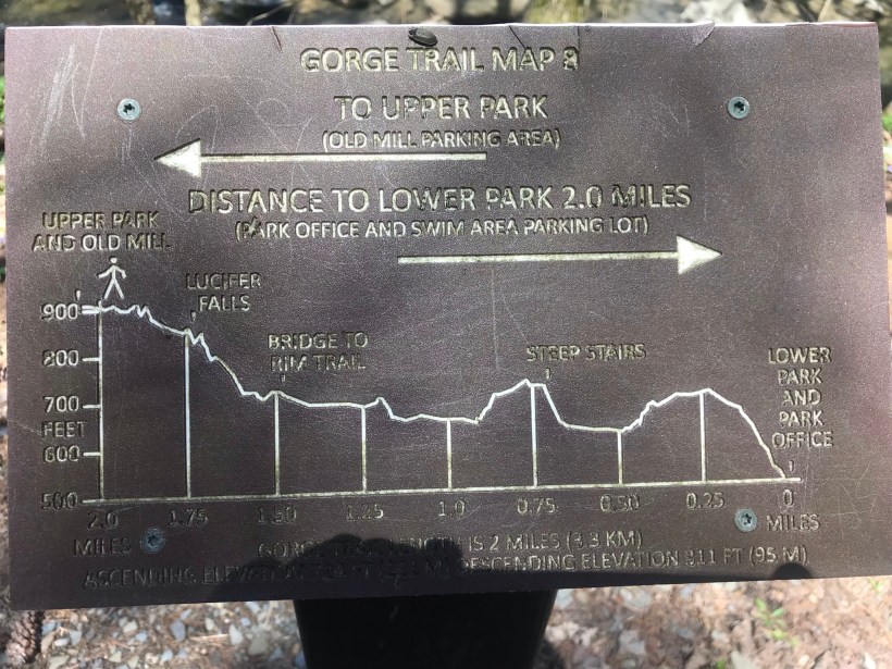
Round trip is four-plus miles, with several hundred feet elevation change. Pam and I discussed a car caravan for our next visit, to support a one-way downhill hike (still plenty of uphill hiking). We need to work up to the round trip after our winter inactivity.
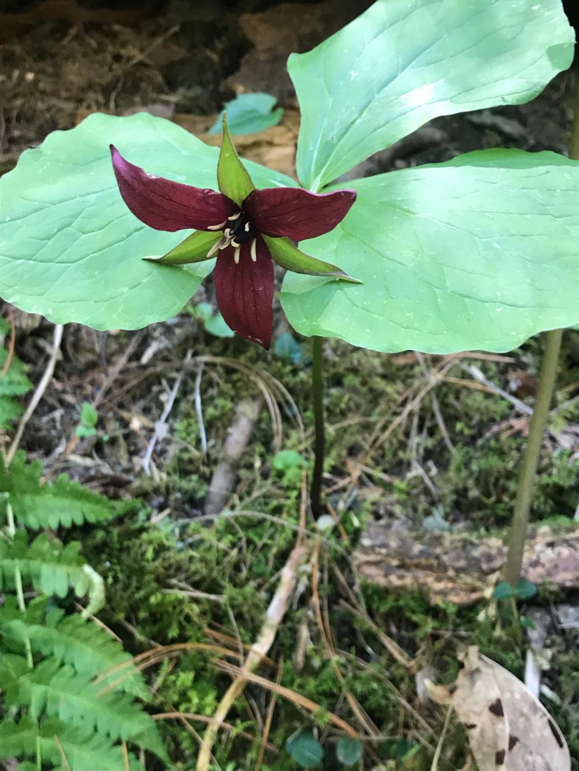
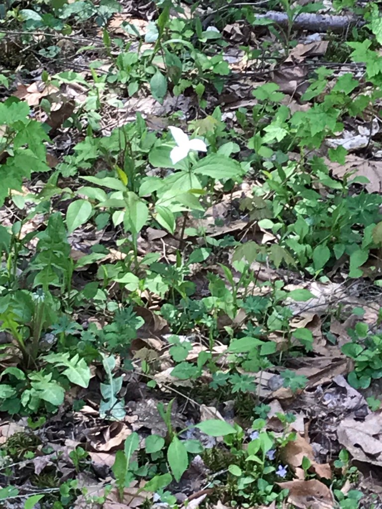
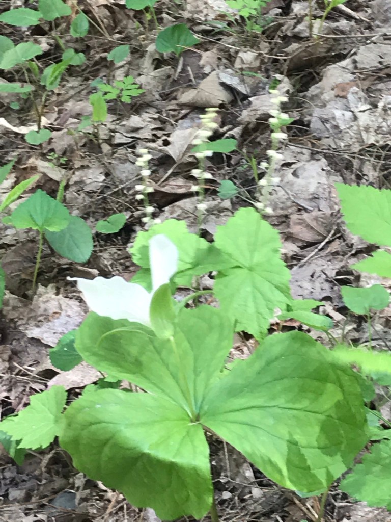
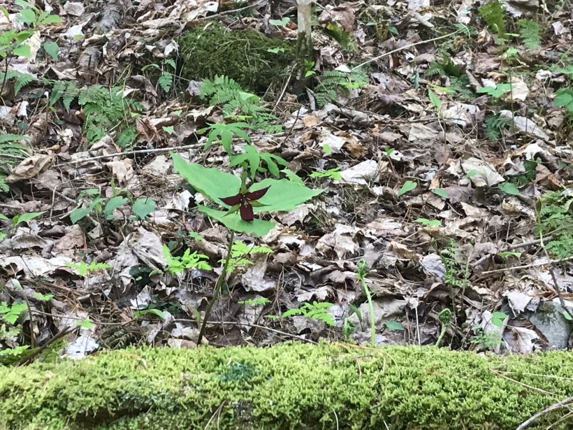
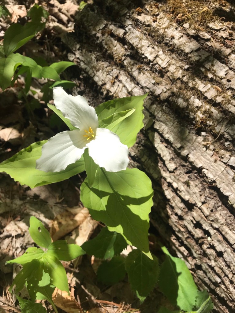
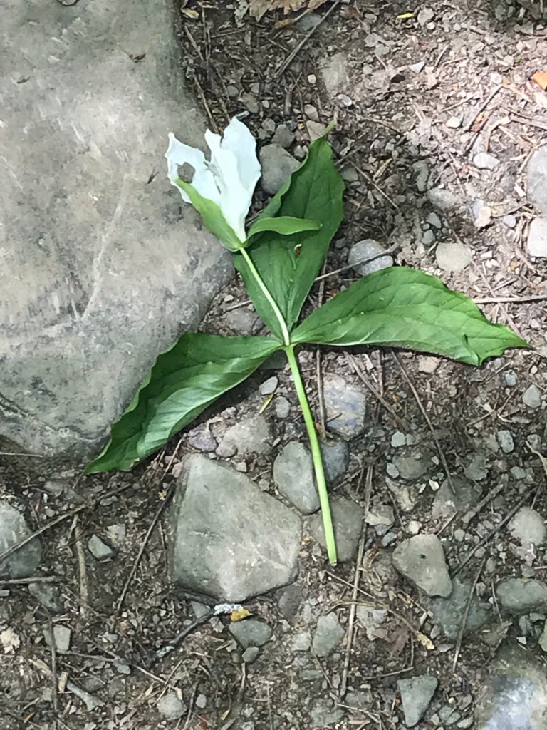
Trillium are in bloom!!
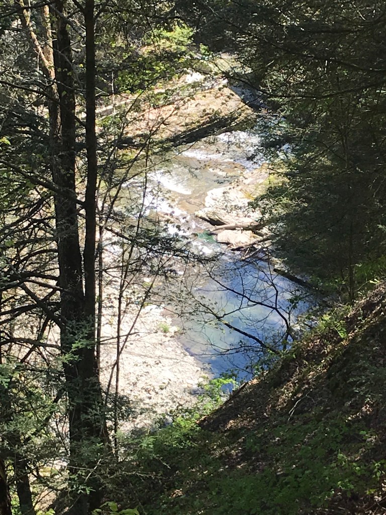
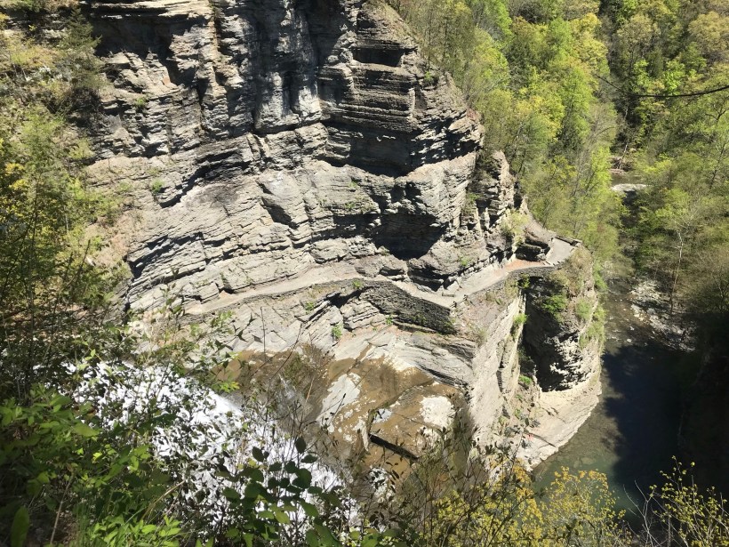
Multiple overlooks into the gorge grace this trail.
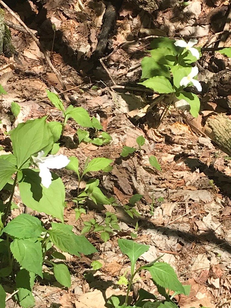
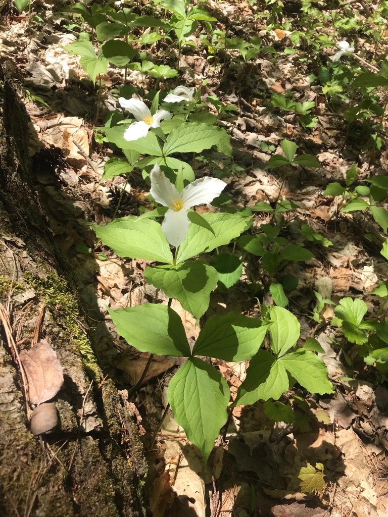
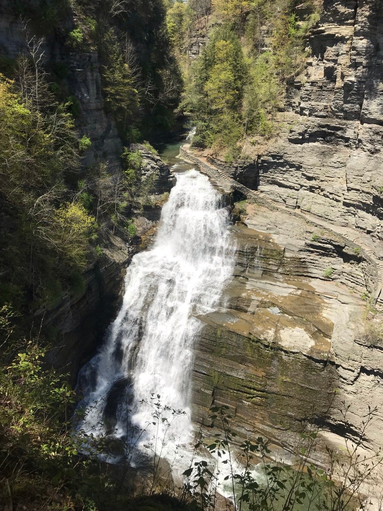
More trillium before we reached the overlook. Lucifer falls and the incredible path etched into the cliff by the Civilian Conservation Corps (Roosevelt’s Tree Army during the Depression).
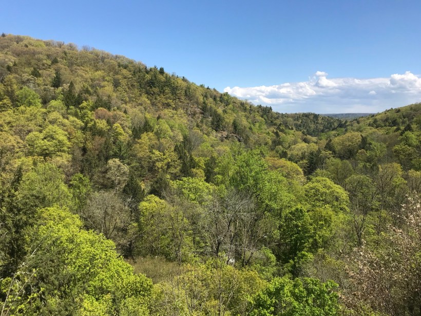
After the Lucifer Falls overlook is this stupendous view from the top of the Cliff Stairs, 224 steps continue to link to the Gorge and South Rim trails.
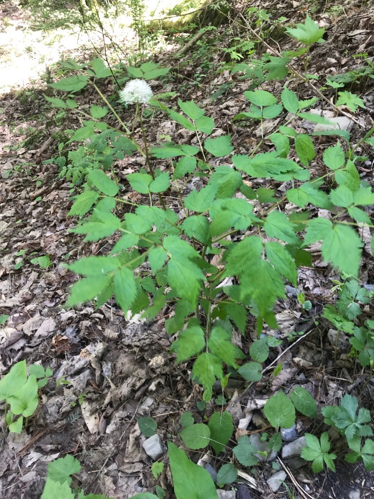
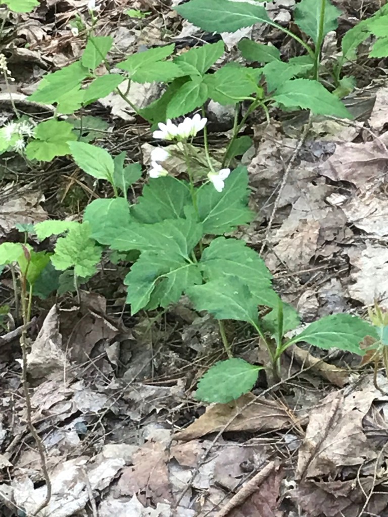
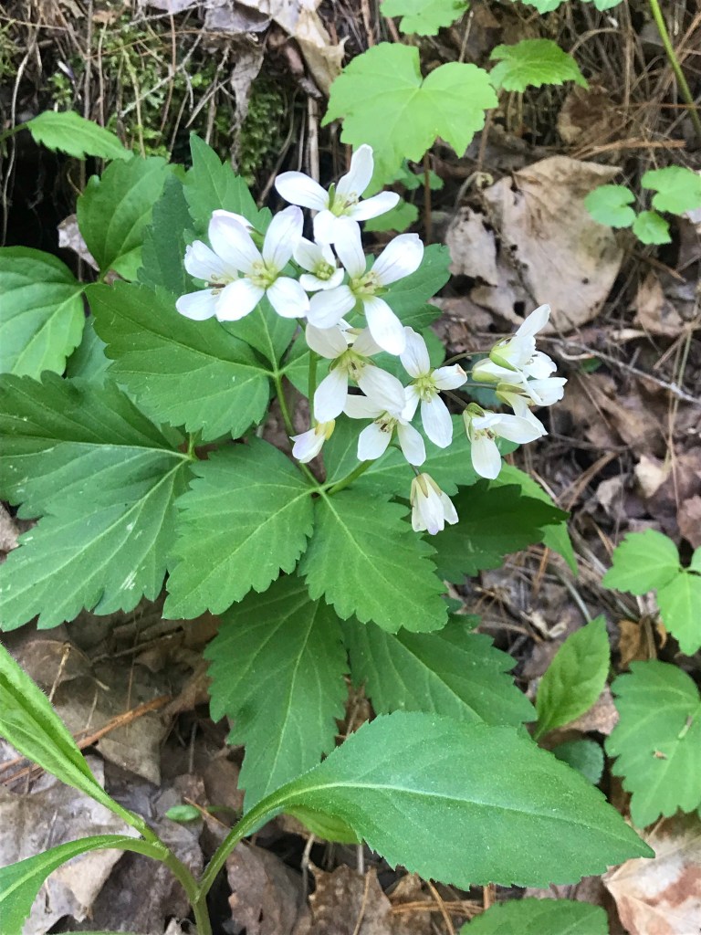
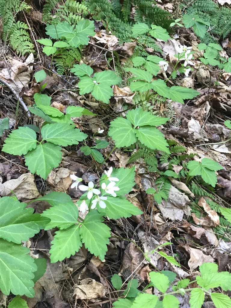
As we lingered on the top steps the flowering plants slowly revealed themselves.
I captured this tragic image on the return trip….a trillium discarded on the trail. Stiff fines await anyone caught doing this.
Copyright 2021 Michael Stephen Wills All Rights Reserved
The spring gales persisted through my late afternoon arrival in Pine Creek, into the night and next morning. Protected from the west wind by the rising land, the tent was not buffeted like I described in the chapter “A Dry Piece of Paradise.” The song of soughing pines was my last impression of the evening and the first of the next morning.
Where the Arizona trail crosses, Pine Creek flows at 4,600 foot elevation through a canyon of broadly sloping sides. The flow originates at the foot of Mound Mountain to the southwest, at 6,253 feet the highest elevation in the Superstitions. There are 5,500 foot peaks to the east and west. The land falls away to the north giving great views of the Four Peaks Wilderness.
I chose a flat site to camp above the creek among Arizona White Oak, Arizona Sycamore, Ponderosa Pine and Manzanita. Of these, it’s Manzanita fruit for which the bears come in the summer. Manzanita thickets made approach to the camp site difficult from all directions but the path. Bear sign was thick among this growth. Go to my chapter, “Racing the Sun,” to see the red barked Manzanita and pink blossoms from which grow tiny green fruits that ripen summertime into a bright red, like tiny apples. Indians used this bland tasting fruit containing five hard seeds for food and a cider beverage.
Well before dawn I grabbed warm clothes, hat, camera to head out for a full day of leisure.
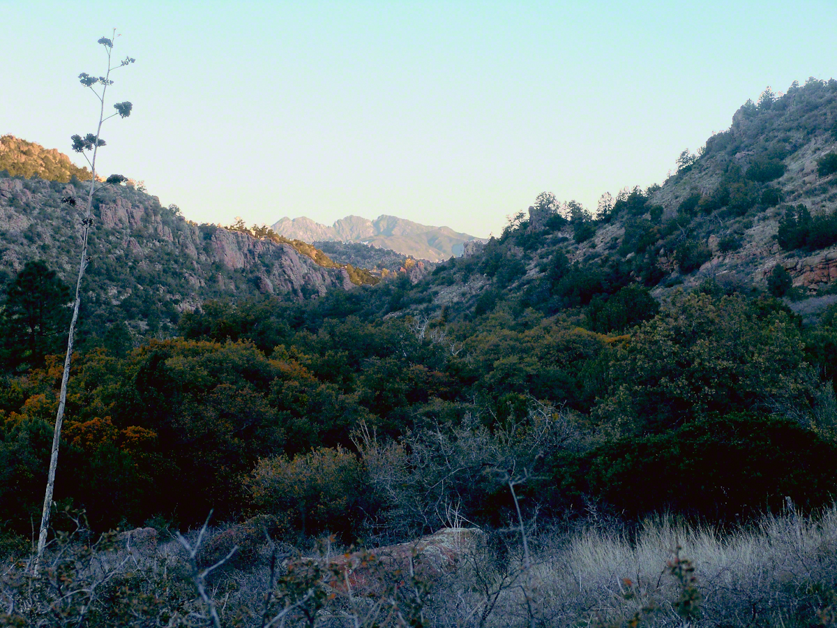
On a shallow rise above Pine Creek I took the two shots of agave (Century Plant) stalks in dawn light. These start the chapter, “A Dry Piece of Paradise.” One dry agave flower is to the left in this North view, looking down the creek not far from the creek crossing.
Click any photograph for a larger view
North View from Pine Creek, early morning
In the photograph notice how the canyon narrows as the creek flows north, the walls rising above it for hundreds of feet.
When I climbed about 200 feet above the creek to a ledge that provided great views, the protective canyon walls fell away and wind gusts threatened to up end the light tripod. It was necessary to anchor it with the daypack and I tied down my hat as well.
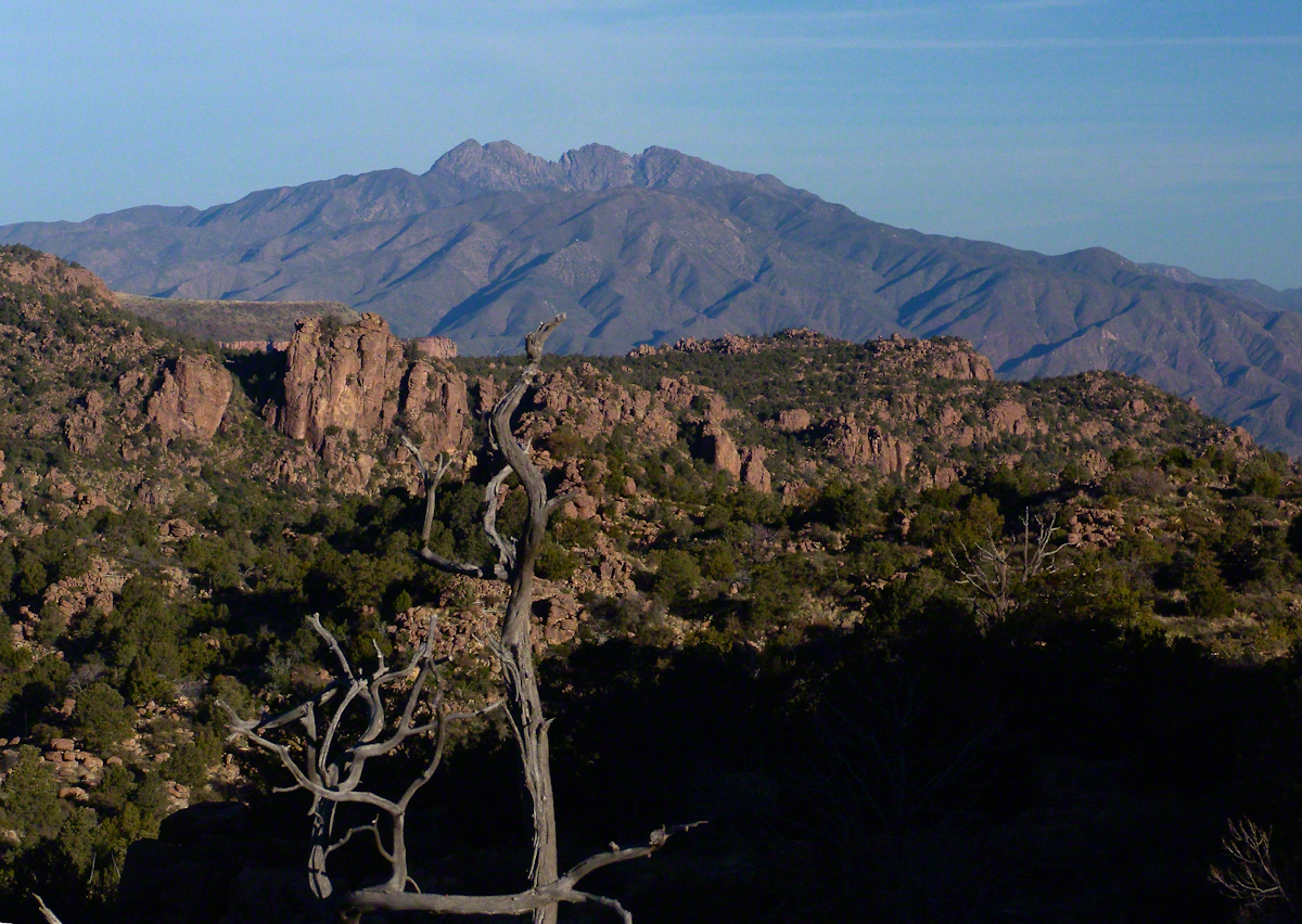
Shadows of night lie below, dominated by Four Peaks Wilderness. A unique long flat ridge is behind the near dramatic ridge above Pine Creek. This view leads me to daydreams. The long ridge is clearly visible in two photographs titled “Nameless Canyon in the Dawn” and “Nameless Canyon Morning” of my post “A Dry Piece of Paradise.” A view from the west is available in my post “Racing the Sun.” Look at the photograph captioned, “Overview of my path to the Nameless Canyon behind Two Bar Mountain,” the flat ridge is just above the shadow of Castle Dome. The view from that spot must be incredible across the lower Reavis Creek valley. From here it is a day trip 4+ mile roundtrip bushwhack over the cliffs above Pine Creek.
North View from Pine Creek
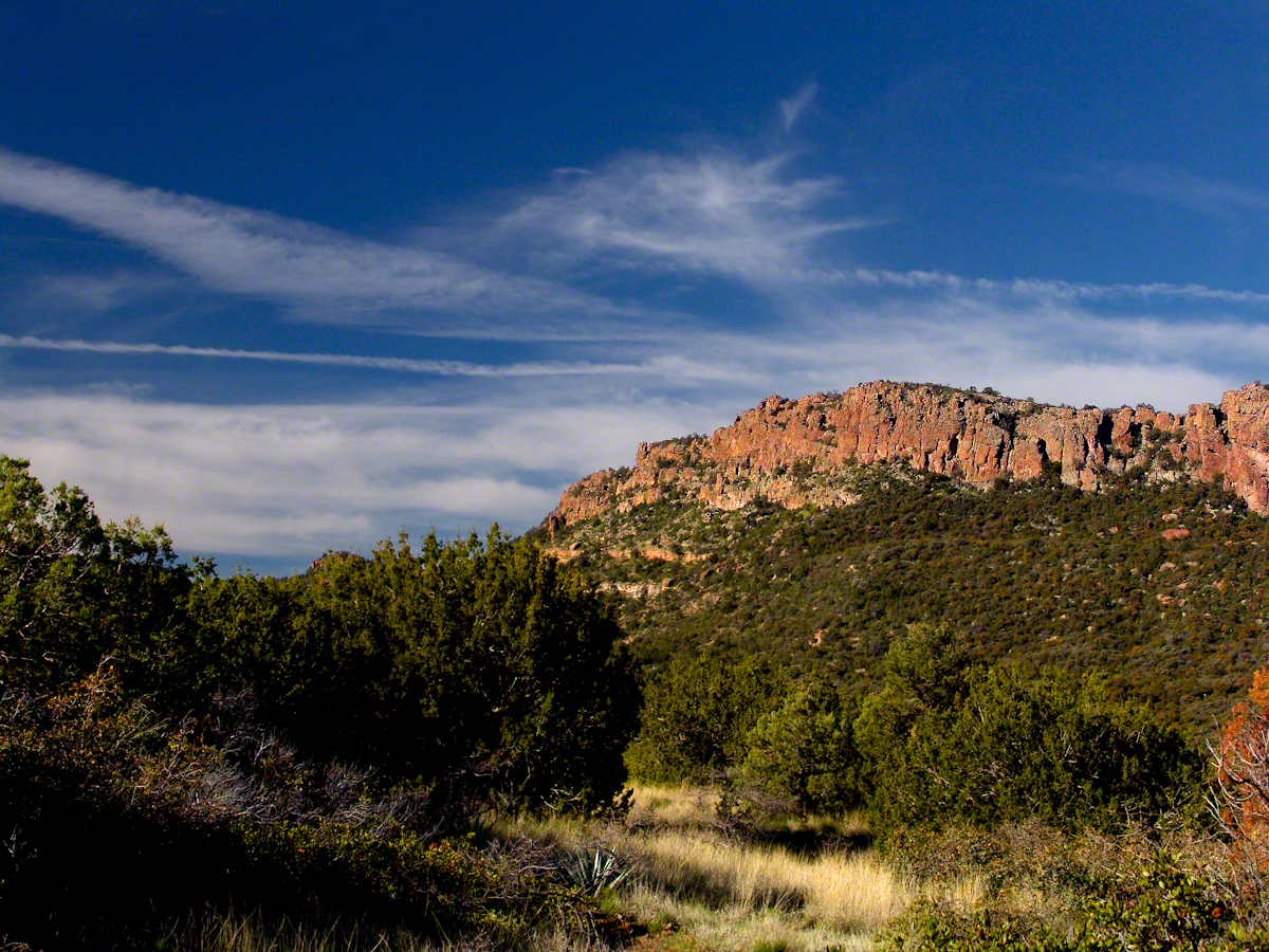
Those evergreens in the following photograph are Oneseed Juniper (“Shagbark Juniper”) of the three species common to the Superstitions, this has this spherical, bushy appearance. Here the elevation is just high enough for junipers because there are none down below. The trail crosses Pine Creek to ascend the lower slopes of these red cliffs, following it around to the west and over to the next valley, Reavis Ranch, a distance of 3.5 miles. In my “Two Meetings” blog is a sweeping view of Pine Creek Canyon, from the southern approach.
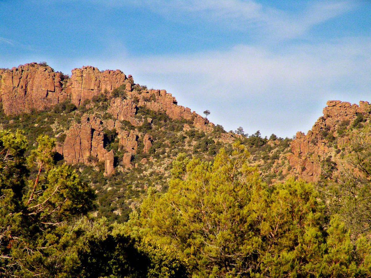
For most people a 400+ foot climb over these steep cliffs is impossible. Fortunately, a saddle to the right of this photograph is a possible route.
Southwest View from the Arizona Trail above Pine Creek
The saddle is 100 feet lower without cliffs. Still, this entrance to remote, fascinating locations is a steep 300+ climb.
A Saddle breaks a line of cliffs
“The Searcher” arrived around this time riding the buckskin gelding and leading a pinto. He saw me and my camera equipment and stopped for a chat. His plan was to follow the trail I came up yesterday to find a rumored camp with good water. The howling wind made conversation difficult. I wondered where his camp of last night was located, since there was no sign of him. Before I could ask, his cowboy hat flew away with a wind gust. He hopped off the gelding, “That’s my best beaver hat.” After a quick brush and tie-down they were off.
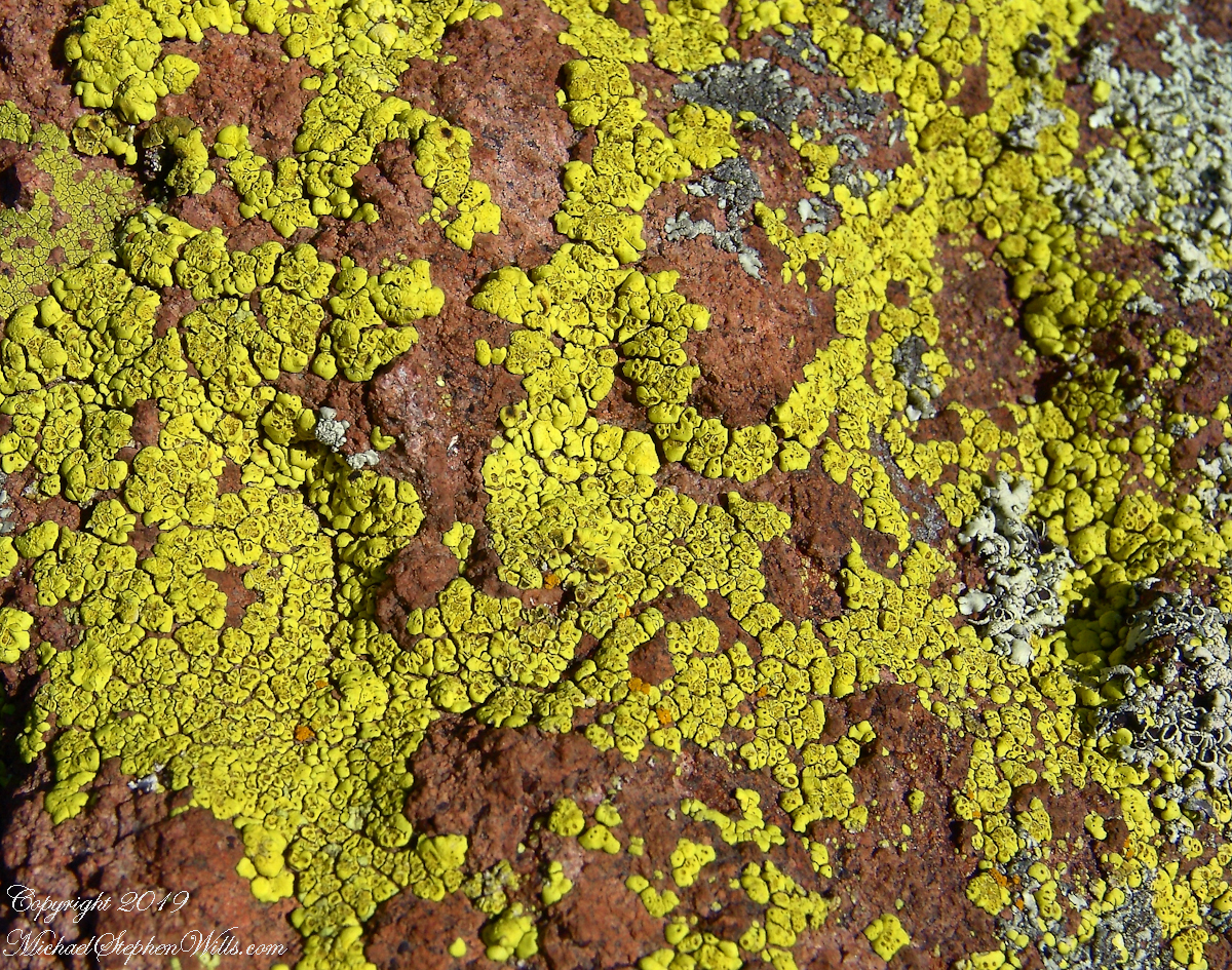
Heading back down to the creek, here is a macro of lichen that covered the crumbling surfaces of boulders that littered the slope.
Nature’s Abstract
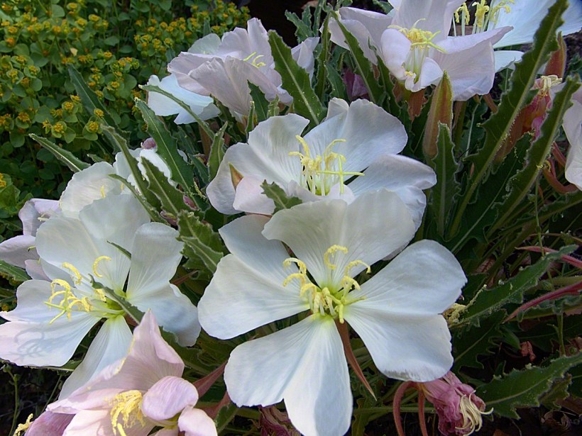
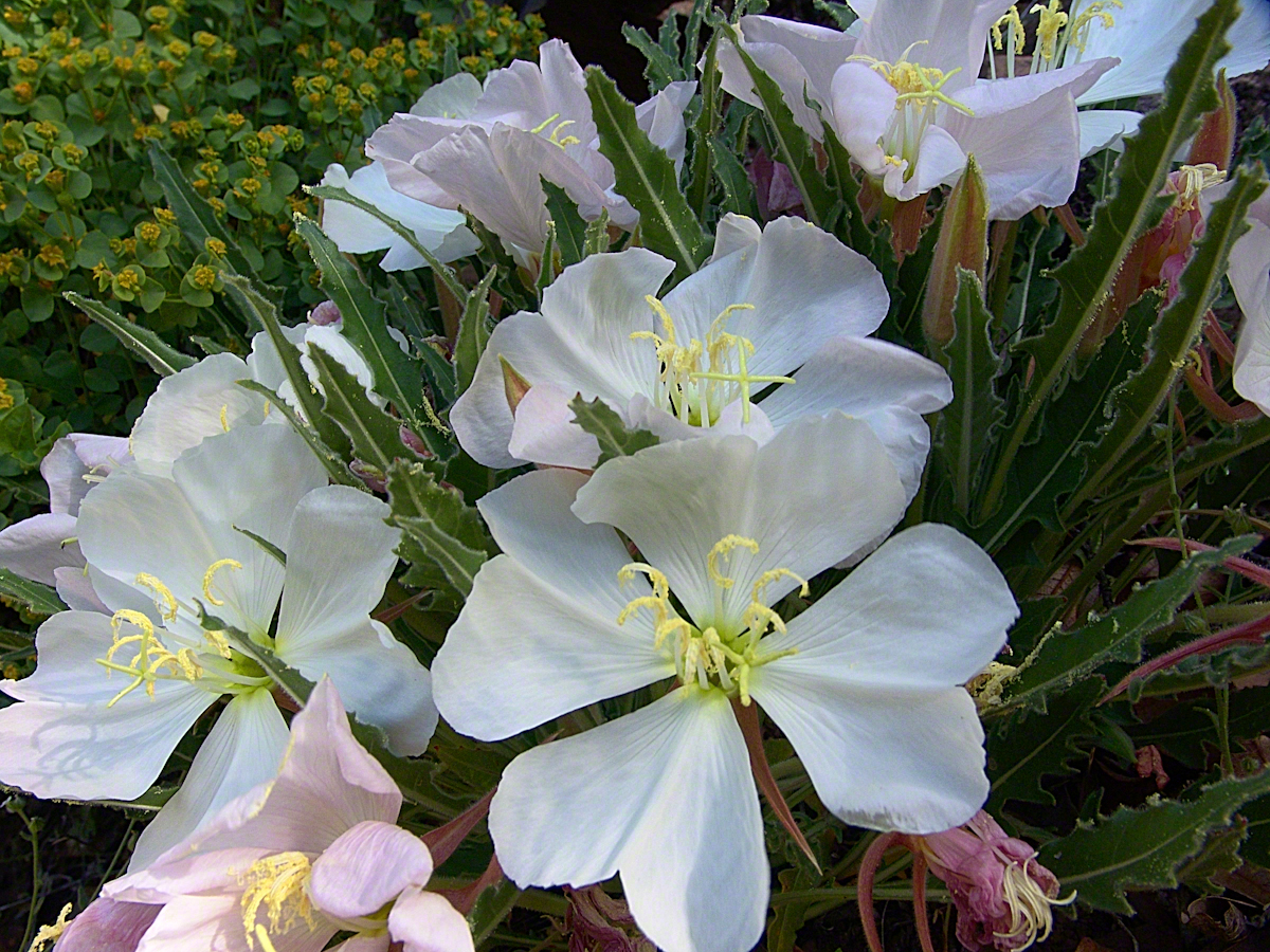
During the previous night fresh primrose blossoms opened, this one flourishing in the earth of a south facing slope. There is a reddish spent blossom at lower left. The soil here formed over eons by the action of the creek water, atmosphere and plant life. I have more about the Primrose and these yellow flowers in the background in my “Two Meetings” blog.
Pine Creek of the remote eastern Superstition Wilderness hosts this wild Tufted Evening Primrose.
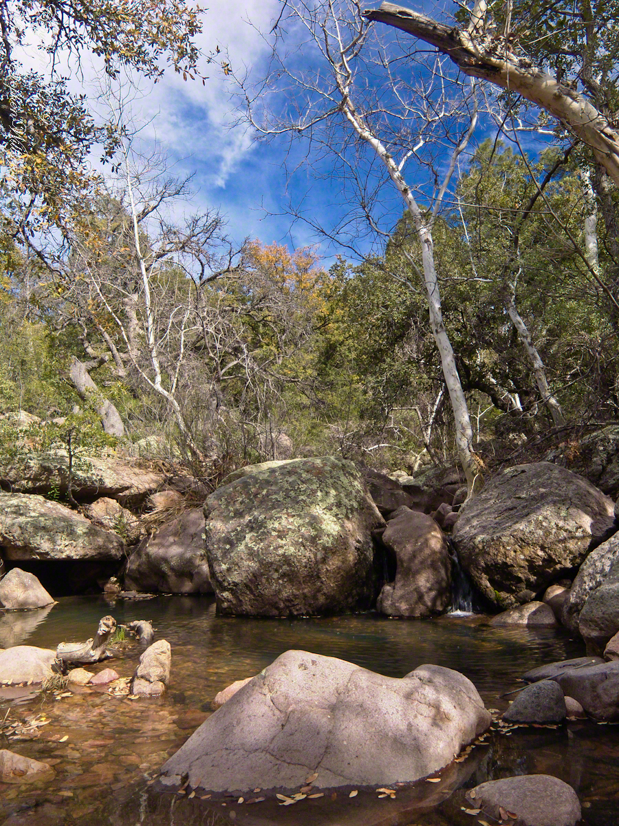
Turn left (up stream) where the Arizona Trail crosses Pine Creek and jump boulder to boulder for a hundred feet or so and you come to this view. The creek bank, covered by vegetation, rises on both sides and makes it difficult to leave the creek. Those are Arizona White Oak leaves floating along the large foreground boulder.
Pine Creek Pool with Young Arizona Sycamores
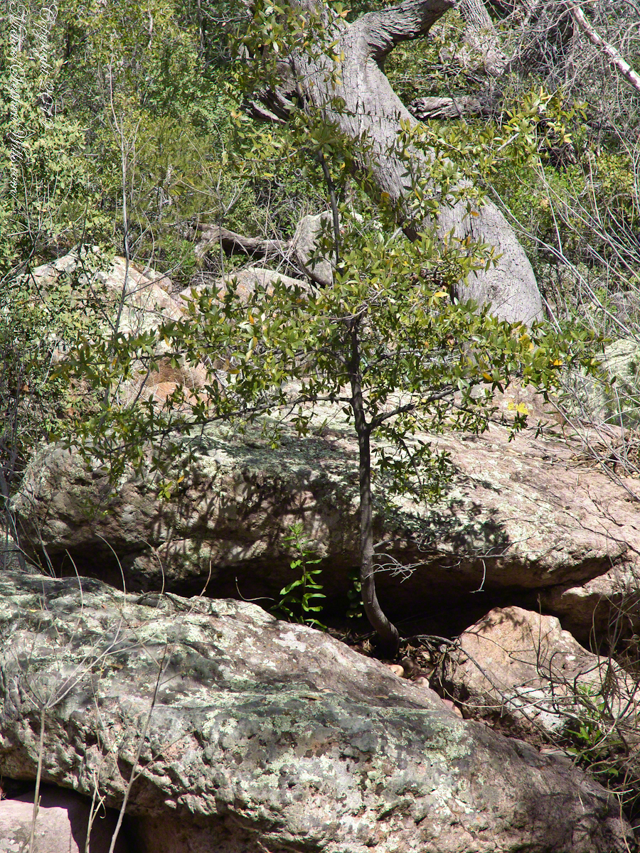
This is a very young Arizona White Oak, common species growing along the creek. The leaves are not what you’d expect from an oak, being 2 – 3 inches long in the shape of a lance blade and without obvious lobes Mature Arizona White Oak has a rough bark and, at most, 24 inch trunks.
Arizona White Oak
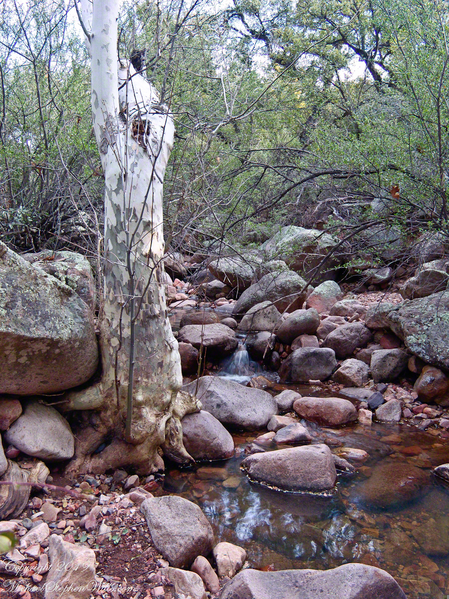
There are better examples of grand Arizona Sycamores along the perennial Reavis Creek. Pine Creek does not flow in the driest seasons, this tree sloughed its branches in order to survive. You can see from the many young Sycamores in the Pine Creek Pool photograph the previous photo the sycamores are successful in this environment.
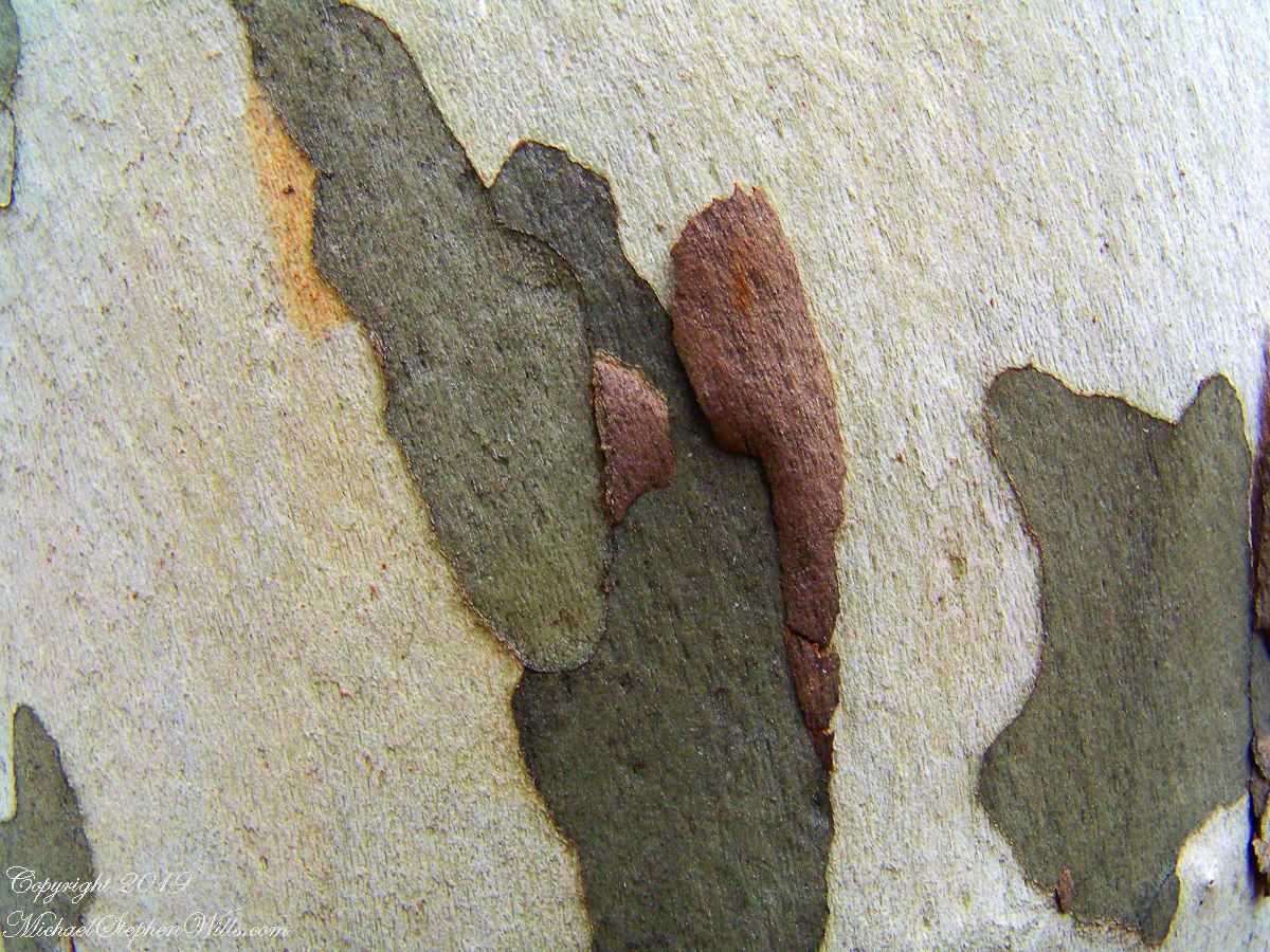
I spent some time with this Sycamore, capturing abstract patters of the bark.
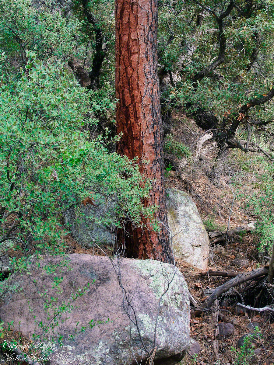
The abundance of Ponderosa Pines here demonstrate the species thrives at this altitude and dry environment. This specimen grows on the creek bank. Those are shrubby Arizona Oaks around the trunk.
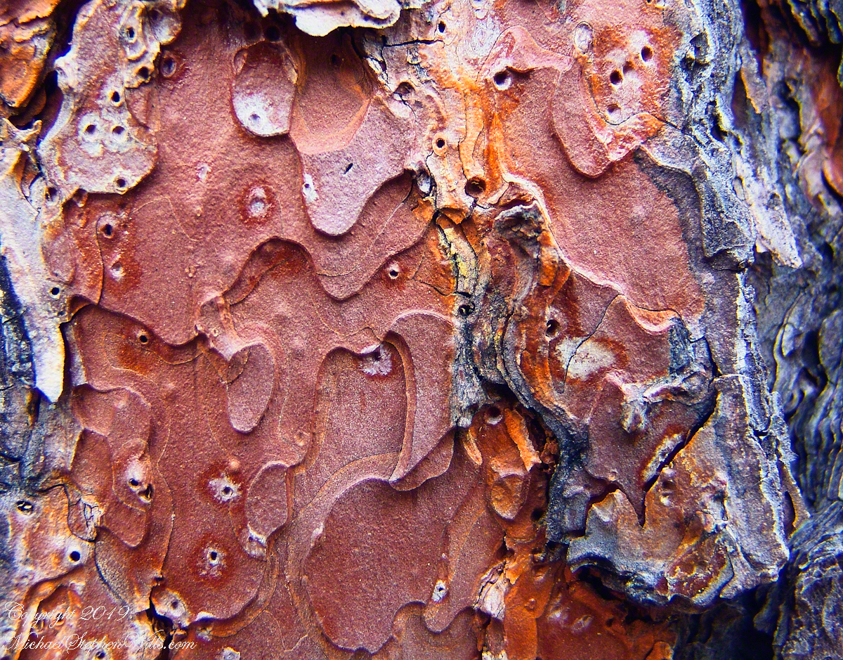
Abstract patterns in the bark of this Ponderosa. The popular and scientific name (Pinus ponderosa) for this species is from the dense weight of the wood.
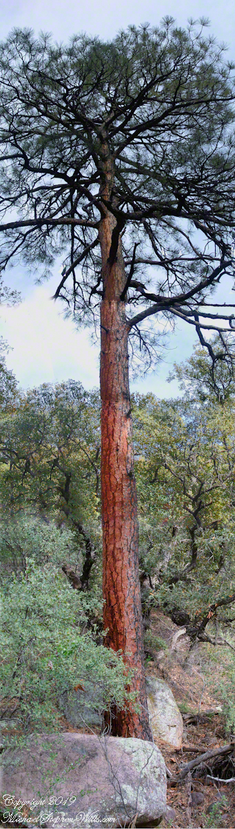
The tree is over 100 feet tall. I patched together four shots for this view.
In the afternoon I explored the Arizona Trail to Reavis Ranch. It crosses the creek to ascend the cliff in broad switchbacks. Eventually it follows a contour below a cliff with fine views of Pine Creek Canyon. I turned back to leave the hike to Reavis Ranch for another day.
We did not climb so much as ascend, with effort, the flank of Slieve Foy, a peak of the Cooley Mountains, County Louth, Ireland. The group being cousin Sean, my wife, Pam, and myself.
The ridge of Golyin Pass loomed in the mist where the path dissolved in low cloud. Sean pointed above, to the right to Barnavave, also know as Maeve’s Gap for the queen who came from the west of Ireland to take Donn Cúailnge, the Brown Bull of Cooley, by force of arms with an army behind her.
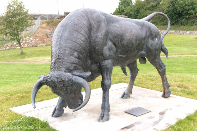
A modern rendering of Donn Cúailnge. See link at the bottom of this posting for more information.
When cousin Sean named Cú Chulainn, the champion of Maeve’s opponents, the Ulstermen, he recalled a story once lost, Táin Bó Cúailnge. A hospitable siege different from Maeve’s and mist are part of the story of the recovery of this tale.
A gathering of 150 poets, 100 pupils, and attendants strained the patience and wealth of Guaire Aidne mac Colmáin, King of Connacht, when it extended to a year and four months.
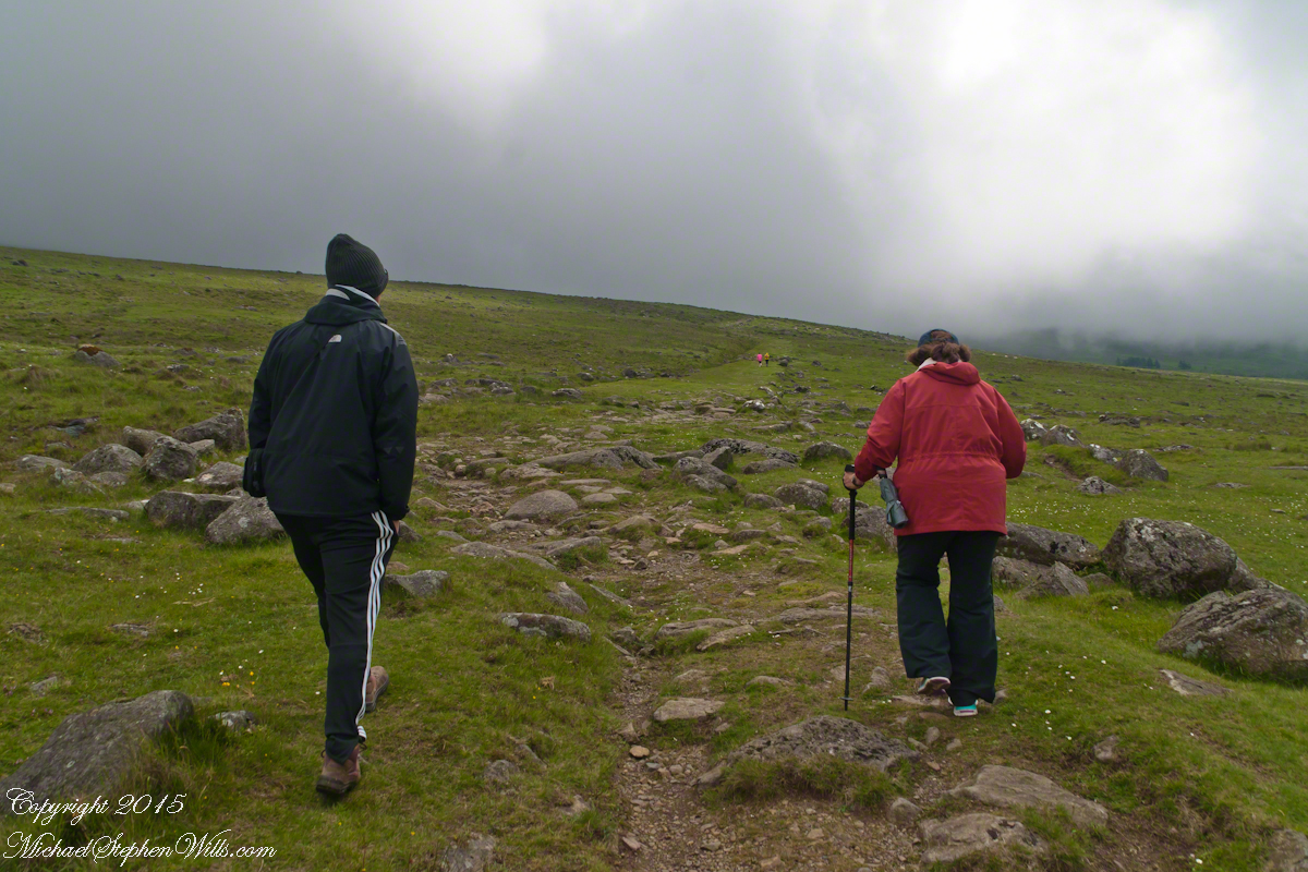
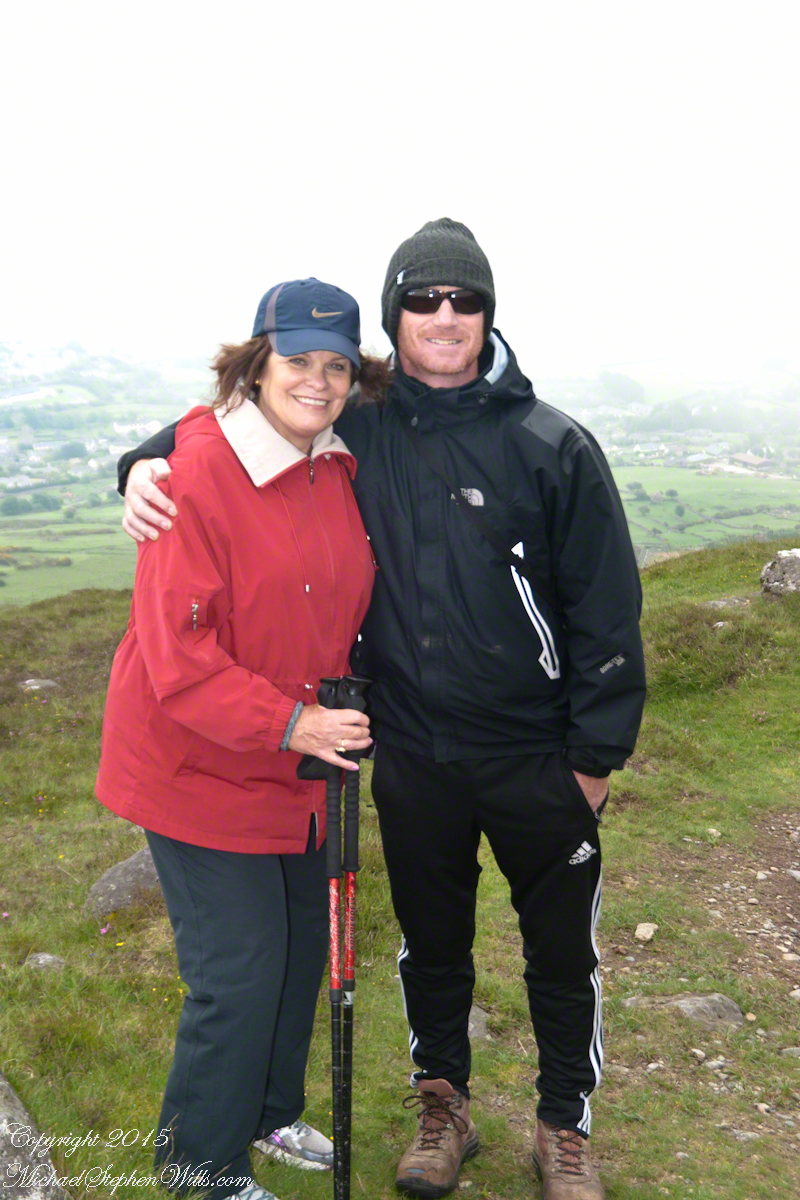
Our first and only encounter with fellow hikers. In the distance two figures appear over the next ridge, a mother and young daughter. She greeted us and challenged Sean to his knowledge of the area. Sean acquitted himself well and we continued.
On that 16th month, the king challenged the leader of his guests to the telling of a tale. Guaire demanded Seanchan Torpest, the chief poet of Connacht, to recite the whole of Táin Bó Cúailnge, known in English as the Cattle Raid of Cooley or The Táin (Cattle Raid).
Click a gallery pic for a larger view.
In this way the king was relieved of his guests: the book of the Táin was lost before their lifetimes, rumored to be abroad. Abashed at his failure, Seanchan Torpest withdrew. Fellow poets and followers trailed out from the castle.
Seanchan Torpest regrouped the host (an opened question is who then supported them) in conference to construct Táin Bó Cúailnge. It was a false hope as the gathering discovered while each poet knew a part of the whole, most of the story was lost. His honor, reputation and self-esteem in tatters the Chief Poet of Connacht, set off with Murgen, his son, and second cousin Eimena to return the Táin to Ireland.
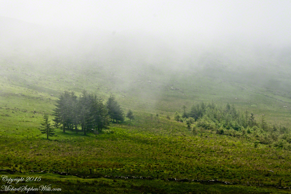
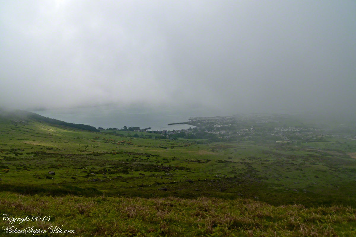
Into mists such as those Pam, Sean and I ascended, the travelers soon were lost and separated.
Magically, Murgen finds the grave of the Uncle of Cú Chulainn in the mists, there to meet the shade of that enormous man, Fergus mac Róich is his name. In the Táin, as related in whole by Fergus to Murgen, Fergus was led by circumstances to ally with Maeve, to guide her army against the Ulstermen. As a deposed king, traitor to Ulster and Uncle to the champion Cú Chulainn, Fergus knew the tale entire.
View as we approached Goliyn Pass
It was from the mists that Murgen emerged, found his father and cousin, and returned together without the book, but with possession of the substance of the Táin.
On Monday, June 9, 2014, cousin John Mills dropped his son, Sean Mills, myself and Pam Wills off at the foot of the western slopes of Slieve Foy on the Tain Way. Sean, Pam and I walked the way over the mountain and into Carlingford in the footsteps of epic Irish heroes.
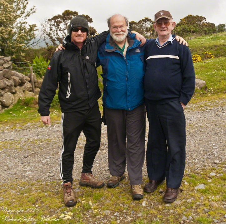
Our guide, Sean Mills, proposed the walk and it fell on our last full day in Ireland. Sean’s father and our host for this visit, John Mills, transported the group including my wife Pam to the starting point at the foot of Slieve Foy.
Yes, if there is any part of the Tain Way the the mythic Irish heroes trod it is this one over Slieve Foy mountain. The saga, in Irish “Táin Bó Cúailnge” and “The Cattle Raid of Cooley” in English, features this bull, “Donn Cuailnge” “The Brown Bull of Cooley”, here as a statue erected 2011 by the Grange and District Residents Association.
Donn Cuailnge raged over the very slopes we walked this day. The myths themselves fill a volume and I am unable to do them justice here.
On the way, John stopped at the Old Aghameen School he attended in the late 1930’s early 1940’s 70 years before and we pass through the country soon to grace our views.
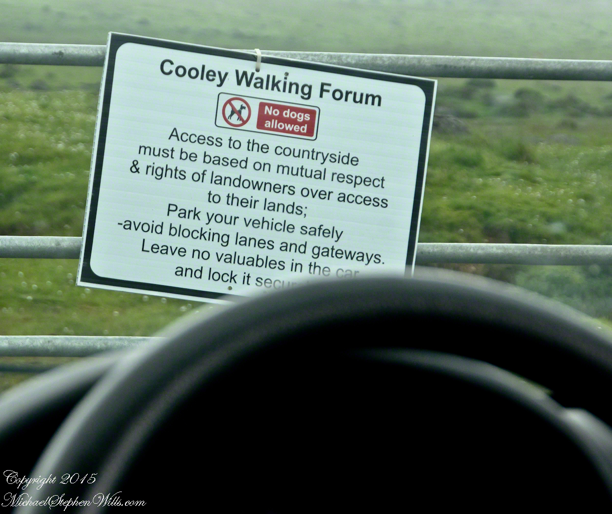
Many thanks to the Glenmore Athletic Club, the Cooley Walking Forum and land owners who provide access to the Tain Way.
We had our leave taking with John, who planned to stay near the phone for our call from Carlingford, if all went according to plan. That same year Pam had the first of two total knee replacements. This was our longest hike in Ireland and Pam was not likely to miss it, regardless of any pain. Pam is always ready to smile.
At start, the Tain Way is broad, green and welcoming.
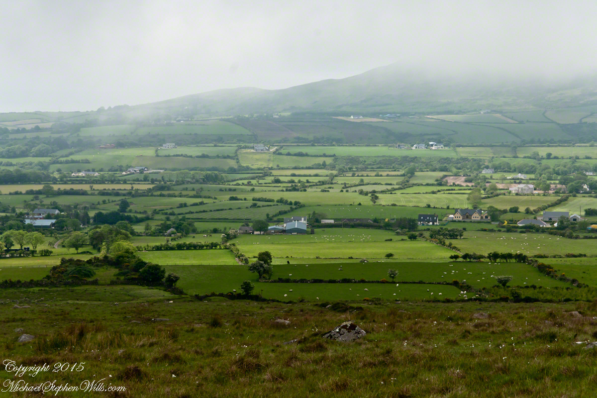
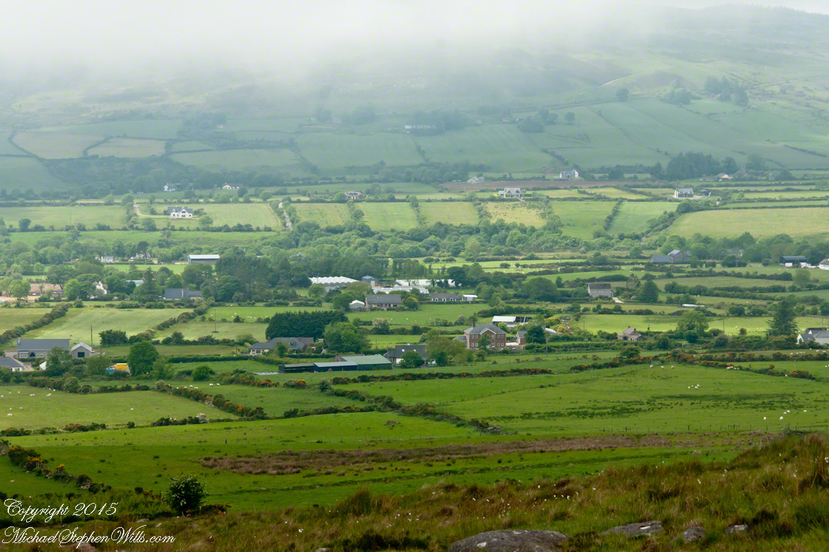
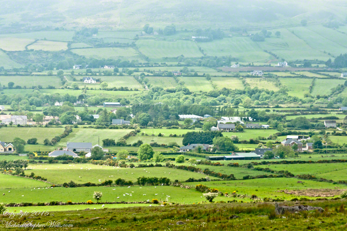
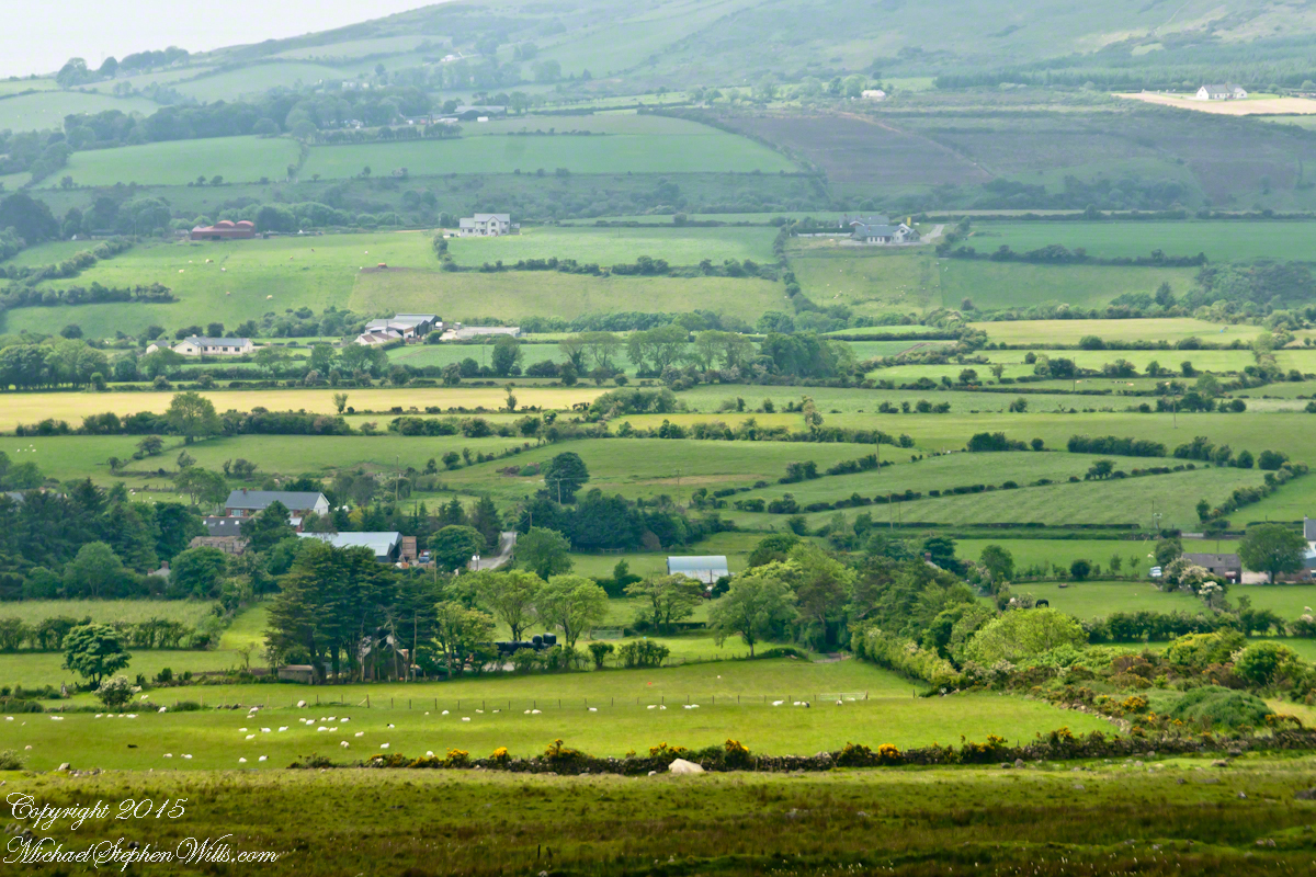
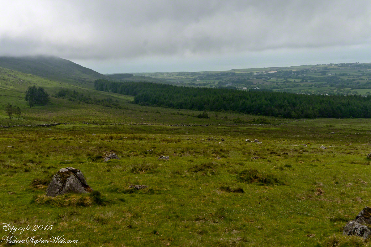
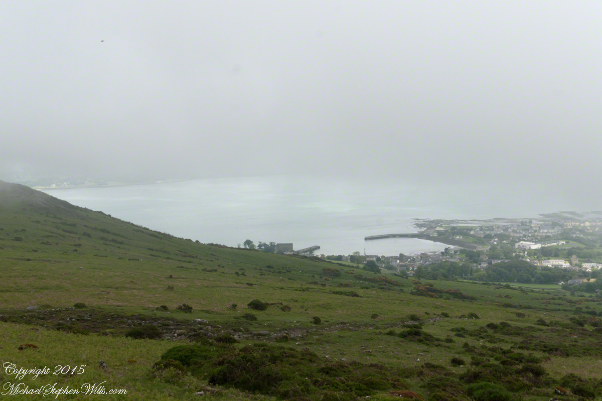
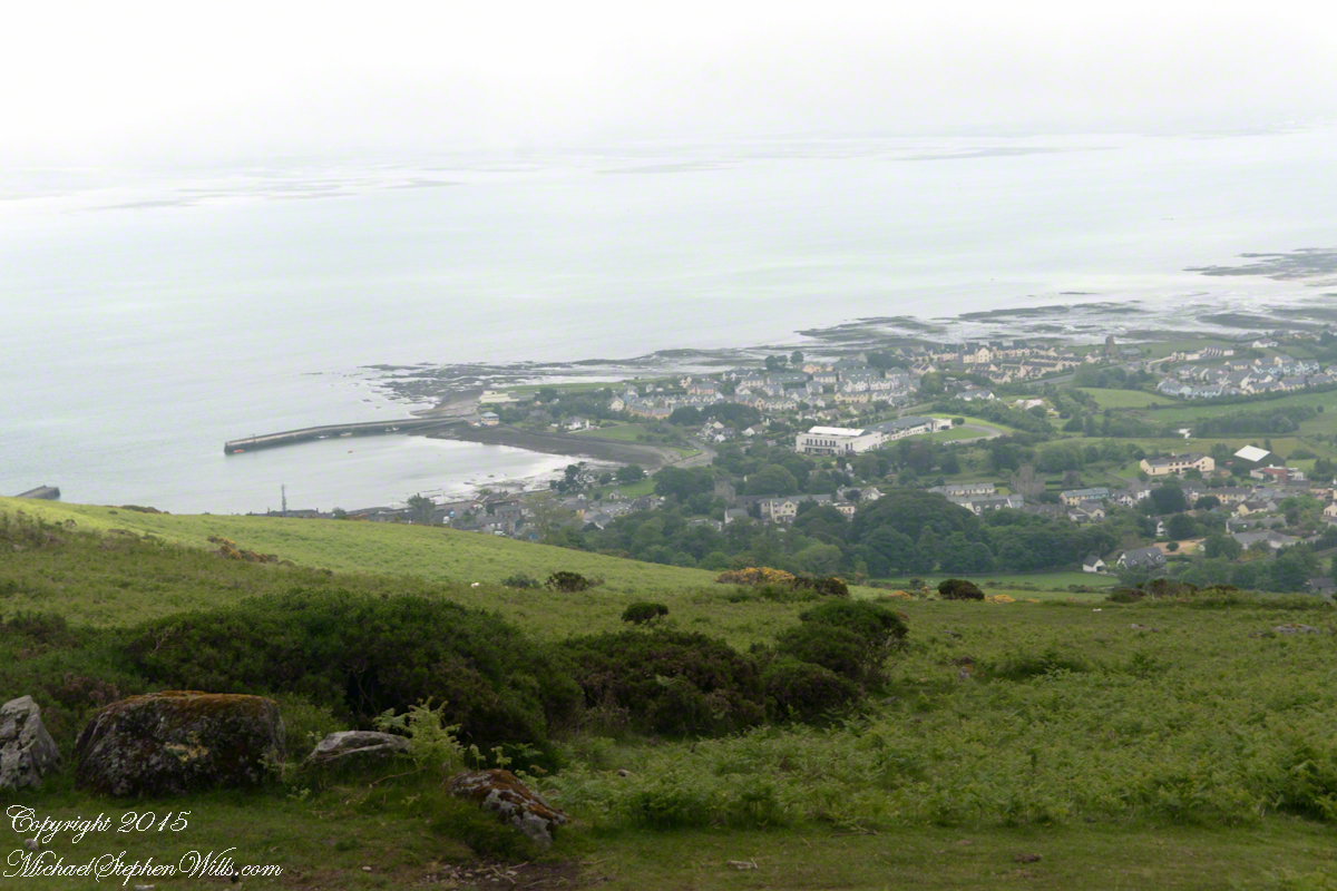
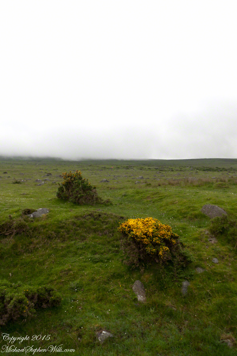
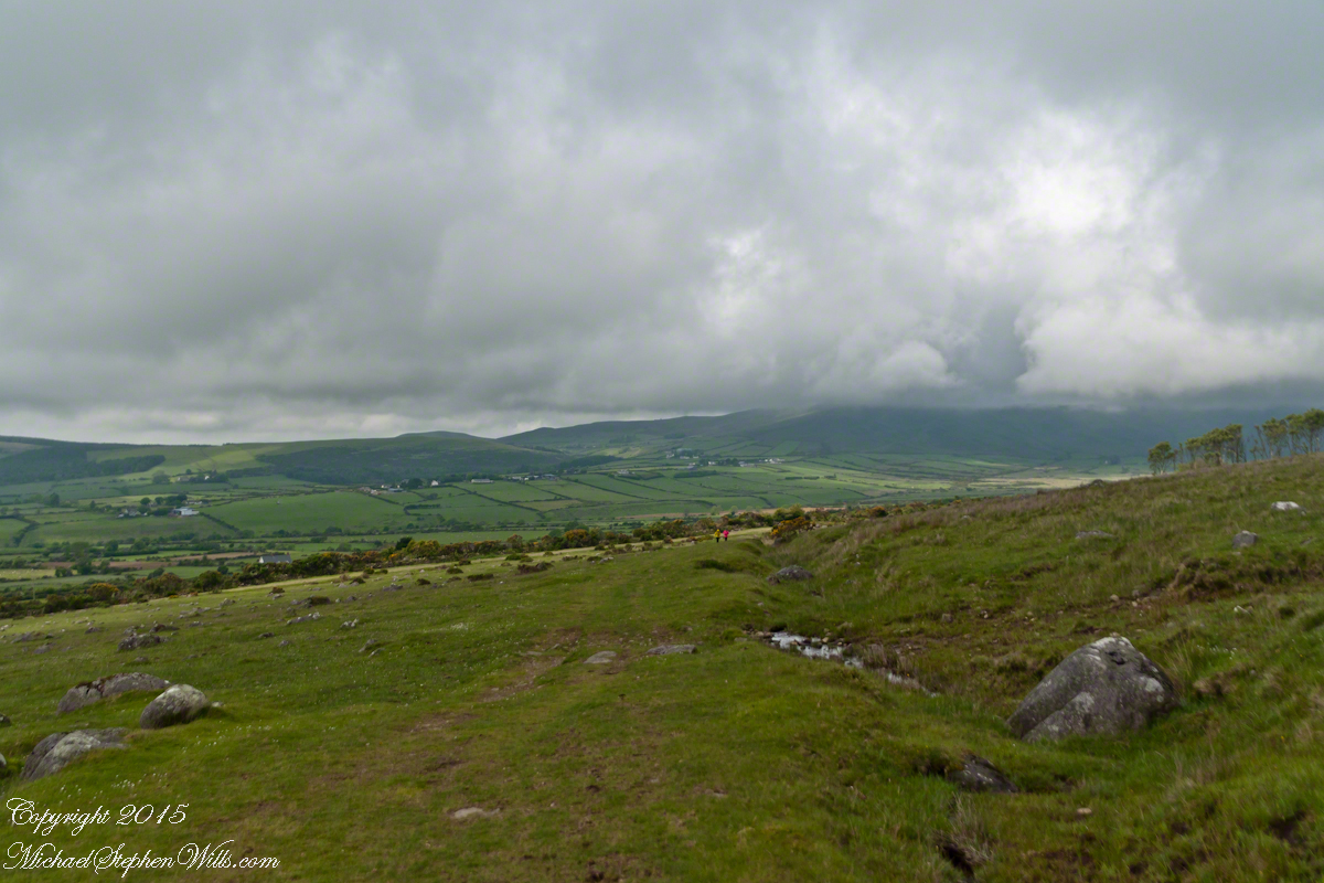
The western slopes of Slieve Foy hold views of a valley among the Cooley Mountains with Dundalk Bay of the Irish Sea to the south / southeast. It was not long before the view started to open and, then, opened and opened the entire walk to the top. We were graced with a lovely, cloudy, June day. Mist only, no rain. Plenty of wind, not strong.
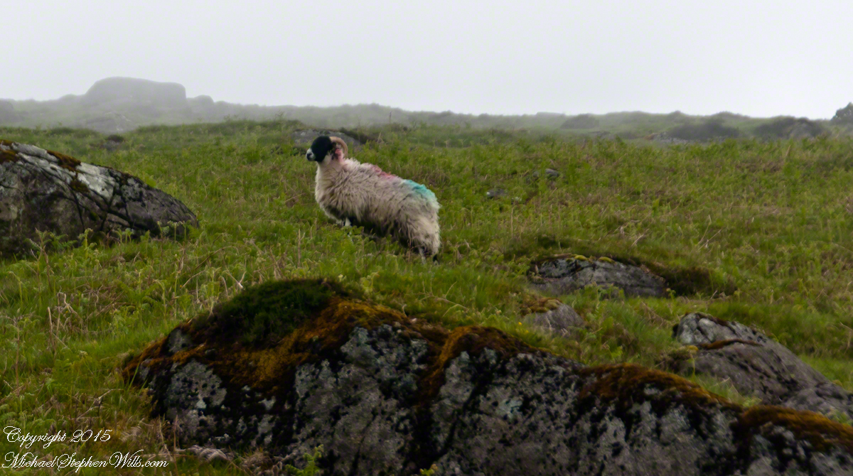
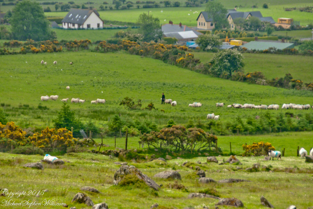
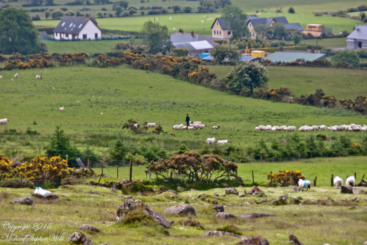
Farms are all about. Here a farmer attends to the flock. They know who he is.
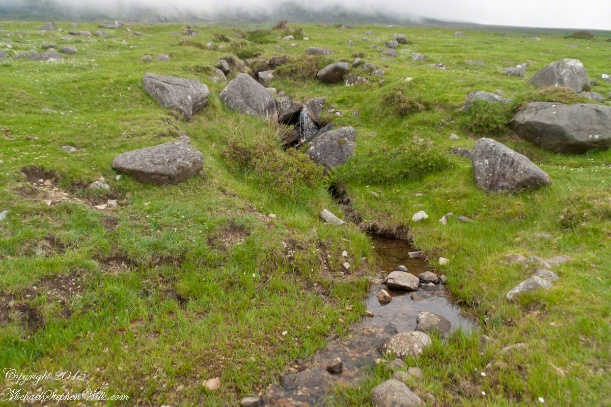
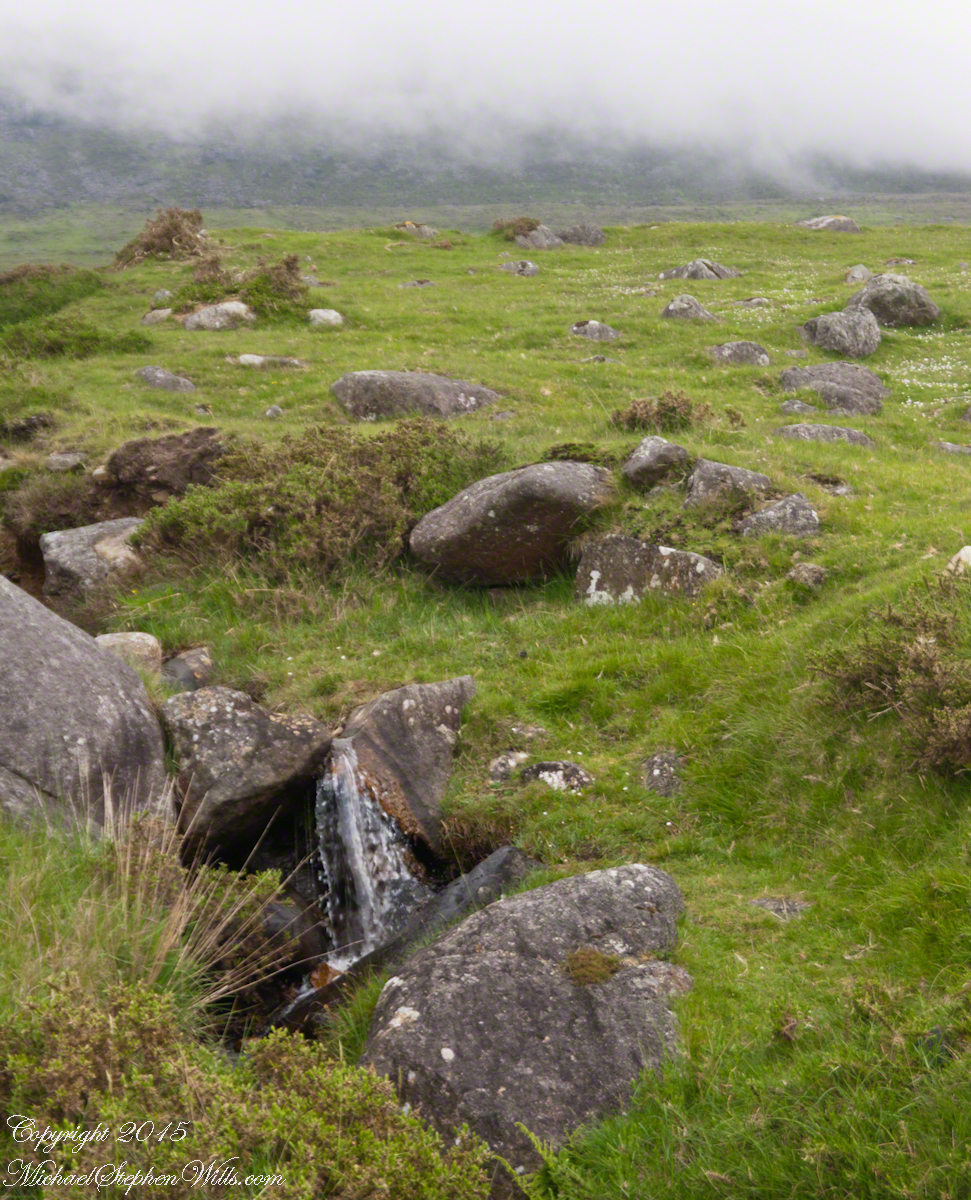
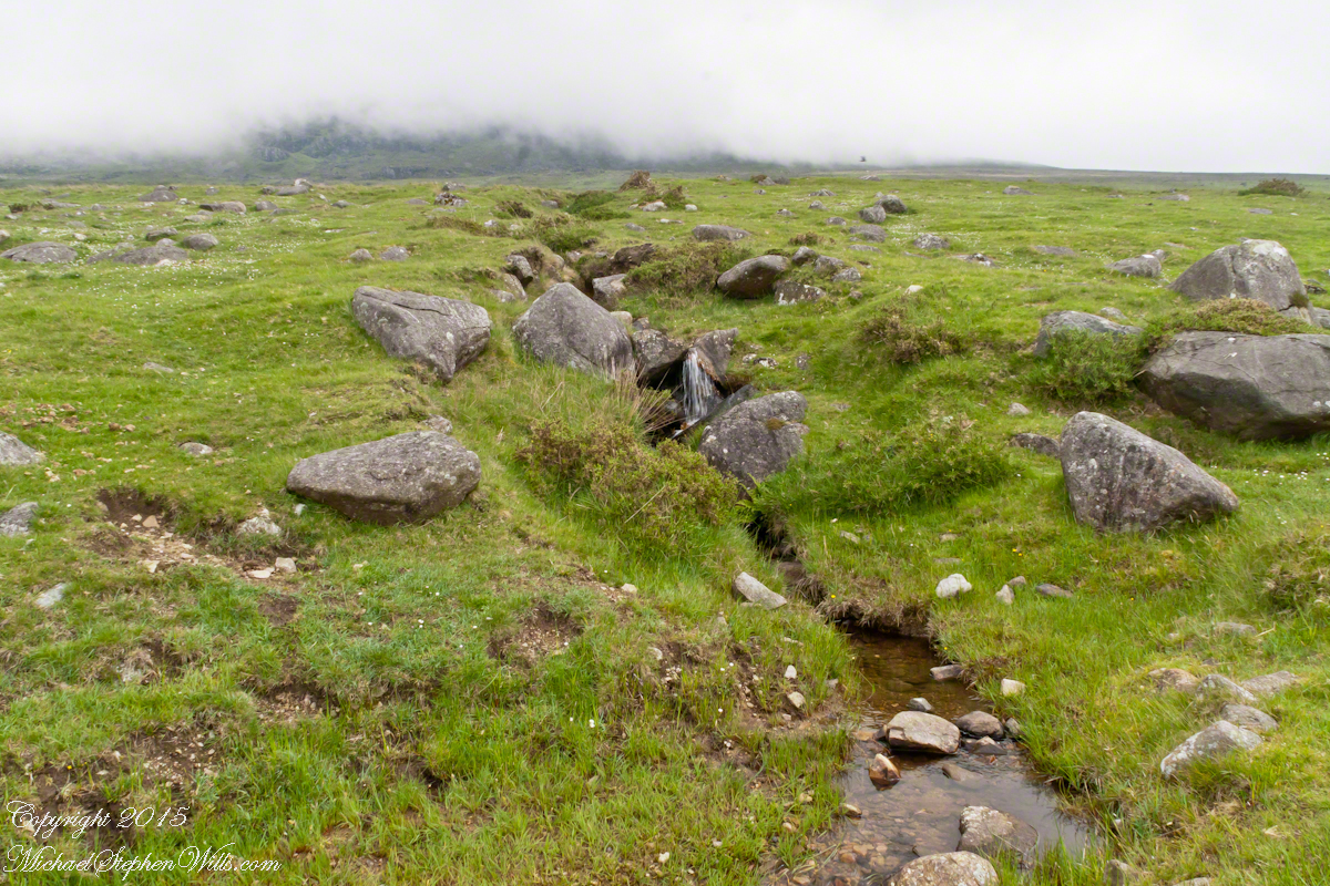
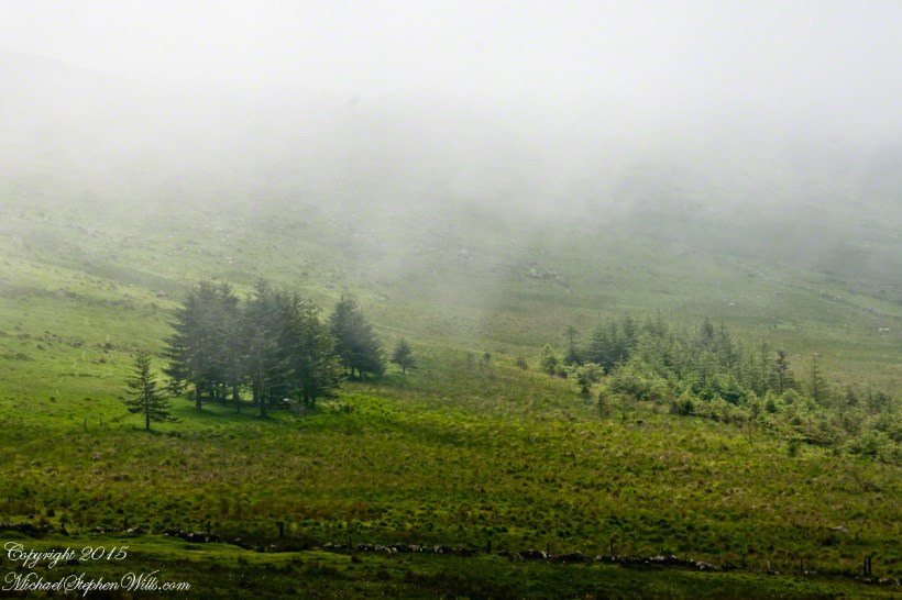
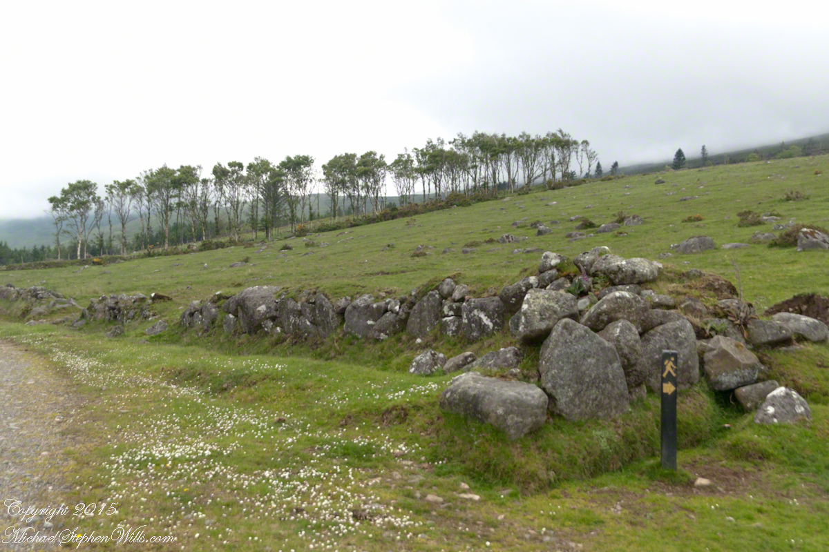
The lower slopes hold many small stream among granite stones.
I will continue with our walk on the Tain Way soon enough.
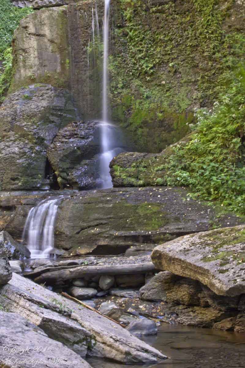
Summertime, reckless souls jump from the stone stairway into a cool water carved pool at the foot of these falls, one of my memories of the Treman Gorge Trail.
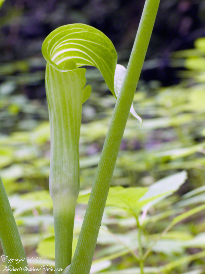
The many names for this plant are reflective of how wide spread it is. Called Arisaema triphyllum (scientific name), jack-in-the-pulpit, bog onion, brown dragon, Indian turnip, American wake robin, or wild turnip this secretive plant flourishes in moist soils across eastern North America, everywhere north to south. I say “secretive” because the varieties I am familiar with hide the flower under the leaves, three of them growing from a stalk.
Those of you who know Georgia O’Keefe may be familiar with the form and coloring of Jack-in-the-pulpit from the series of six oil canvasses from 1930, her time in the east living near a spring. There is a spathe, the pulpit, strongly colored in dramatic vertical, flowing stripes, wrapped around a spandix, the “jack”, being a stem covered with male and female flowers.
Around the time my photography habit started in 2002 I was surprised by the jacks growing from the walls of Fillmore Glen, spying the distinctive forms flowing a bit above eye level under the three large leaves. Seeing them was like recognizing a friend in Halloween disguise, the exotic O’Keefe shapes in a known place.
From this gift, an awareness of the possibility lead me to recognize “jacks” in many other places. I have yet to exhaust the possibilities.
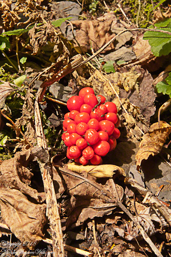
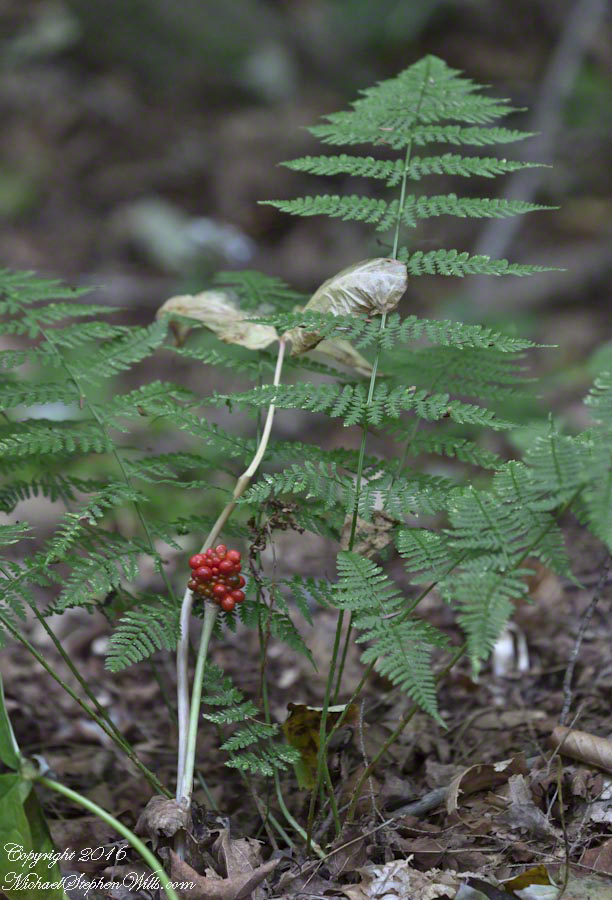
2015 I acquired a Canon EF 70-300mm f/4-5.6 L IS USM lens for our cruise around South American. It proved very useful for an unending combination of situations. Here, it allowed me to frame this specimen, the former covering of three leaves now sere brown and collapsed, the berries revealed in startling clarity among evergreen ferns, Christmas red and green. The strangely named Dry Creek, the driving force of Fillmore Glen, flowing below this humus layered shelf moist with a constant flow from the gorge walls.
The park trails make for a pleasant choice at the start of each excursion. This day, Pam and I visited Cowshed Falls at the foot of the glen, climbed the north rim trail to walk among the hemlocks, listening the leisurely calls of Hermit Thrust like breaking crystal. The time of mushrooms was past in late September, instead we enjoyed the Indian Summer sun and breeze safe in knowing it will not last.
“Jacks” are part of the known lore of the Native American woodland tribes. These berries are poisonous, so beware of handing them. Wikipedia tells me a ploy was to mix the berry juice with meat to leave for enemies. Hidden by the meat flavor, the heartily enjoyed poison lead to death. The plant grows from a thick root, a corm. Correctly dried and prepared, the corm is food. I can imaging these plants an entities haunting the forest, choosing to reveal themselves, or not, to knowing souls. Maybe this is was drew O’Keefe to these woodland shapes growing around the springs of her summer homes. Leisure and an open, wandering glance are important, anyway, for noticing them. Most strangers wander by, engrossed in conversations, memories, evanescent distractions.
The Dry Creek dam is across the upper, eastern, end of Fillmore Glen. Historical records of the dam construction must exist someplace. My opinion is, somewhere in the federal bureaucracy there is a record proving this dam was constructed by Roosevelt’s Civilian Conservation Corps in the 1930’s. That is when the gorge trails were dramatically improved and it is logical a dam was necessary to control water flow during times of heavy rainfall and the spring thaw, to allow a full appreciation of the gorge beauty. It is a substantial concrete structure with cast iron controls, two spillways: one never, the second always flowing. This day the reservoir is full, frequented by beavers, stocked trout, herons, blue jays, crows, hermit thrush. The reservoir banks are thick with wildflowers of the season. This afternoon I noticed purple flowering raspberries: a past prime bloom or two, ripe fruit growing in the late afternoon shade on the south side of the dam.
Unlike its name, Dry Creek is perennial, fed by a broad drainage of pastures, cornfields and forests. Year round the spillway runs, feeding into the gorge a constant, reliable supply of water for the many waterfalls for which Fillmore Glen State Park is known. The very first waterfall is on the rocks supporting the north side of the dam, formed where water from the spillway flows over these rocks into a deep, east west gorge overhung on the south side by mature hemlock trees.
I first encountered Fillmore Glen in the 1980’s with my young son, Sean. On Sundays he and I walked as far as he tolerated, about half way to the dam site, where the gorge makes a turn to the south, the trail on an unstable clay bank against a crumbling shale cliff. Rediscovering the park in the early 2000’s, along with my interest in photography, I noticed the waterfall just below the dam many times and admired it for how the water caught late afternoon light over the many grace points created by rock crags like a wedding cake. The angle from the dam path is wrong for capturing this effect. Today was a first for me to leave the safety of the dam path to climb into the gorge, on the south gorge wall, for a shot.
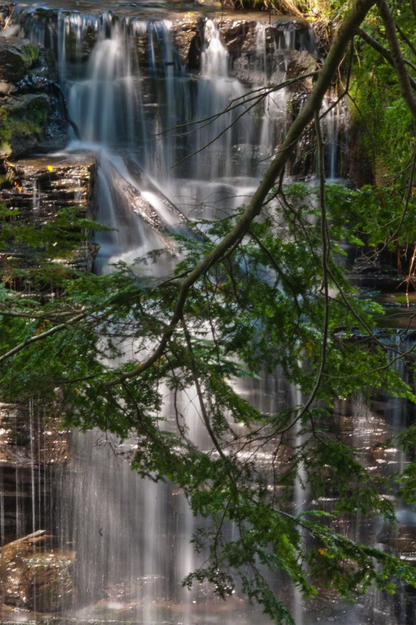
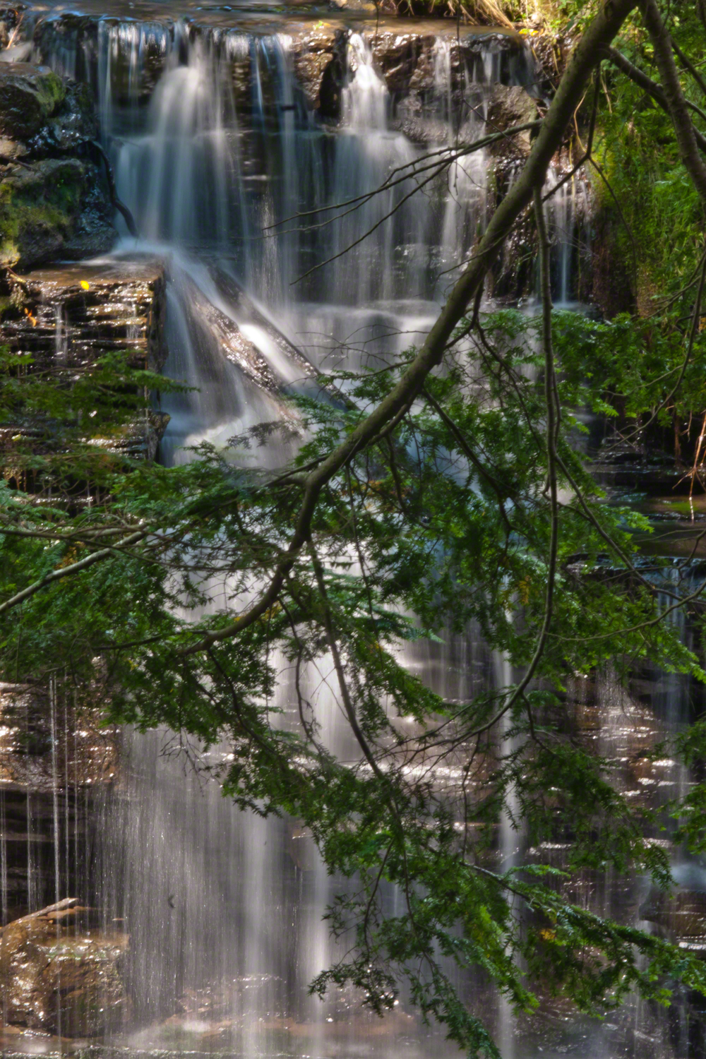
Here is a view of the spillway fall on a mid-August afternoon, 2017. My photography kit for this walk with my wife, Pam, was minimal: a Sony Alpha 700 with a variable lens, the flash and a Manfrotto carbon fiber tripod. For this version of the spillway I climbed into the gorge on the south wall, about 40 feet above the creek. A hemlock tree branch fell across the view, incorporated into the composition. These hemlocks are not a biological relative of the Socratic, poisonous, hemlock. The relationship is a similar aroma when the leaves are crushed. The f stop is cranked to 36, ISO set to 100 so slow exposure time to 1.6 second. Post shot processing via Photoshop.
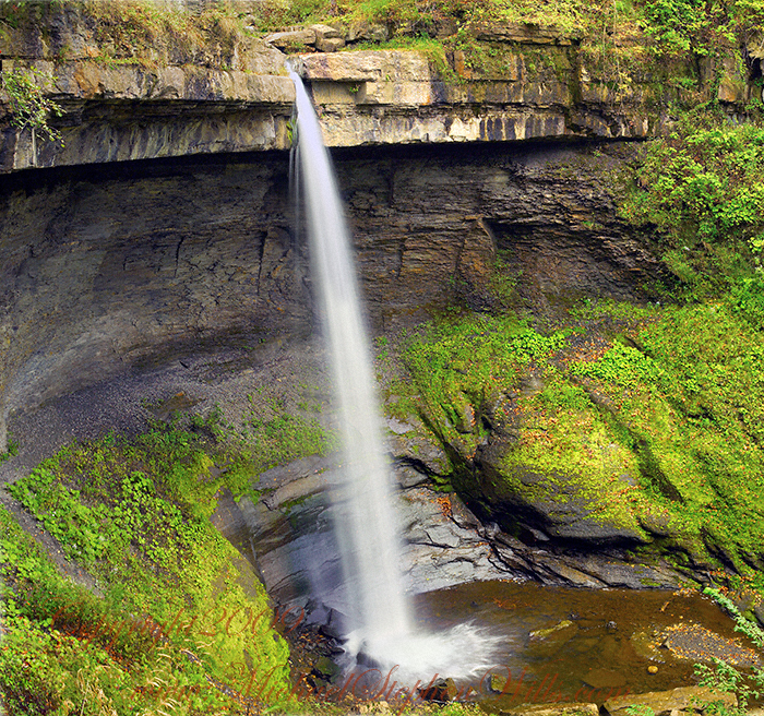
Under a crystal blue September sky, my wife and I climbed into the gorge of Bear Swamp Creek to the foot of this waterfall past the site of a distillery where, years ago, locals used to frequent using a “jug path.”
The creek is strictly protected as part of the water source for Syracuse, flowing from the Skaneateles Highlands past historical villages such as “New Hope.” Before merging with Skaneateles Lake, the creek traverses this 90 foot fall, call Carpenter Falls.
You need to climb the steep slopes of the gorge for this unobstructed view.
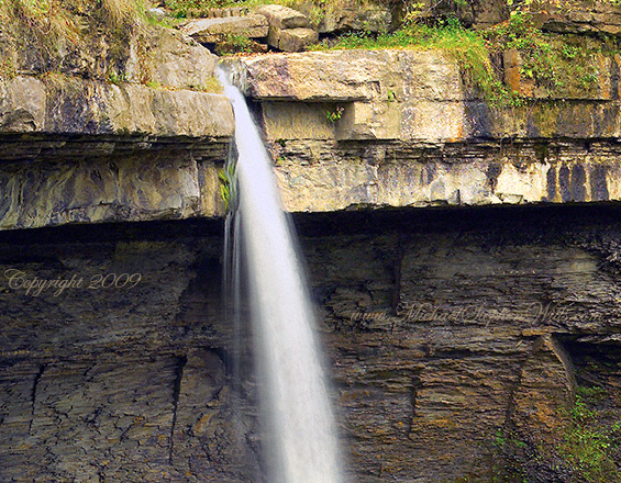
It is even possible to climb to the ledge behind the water. Standing on the ledge, the stream passes 50 feet overhead. It is a lovely view down the gorge in all seasons.
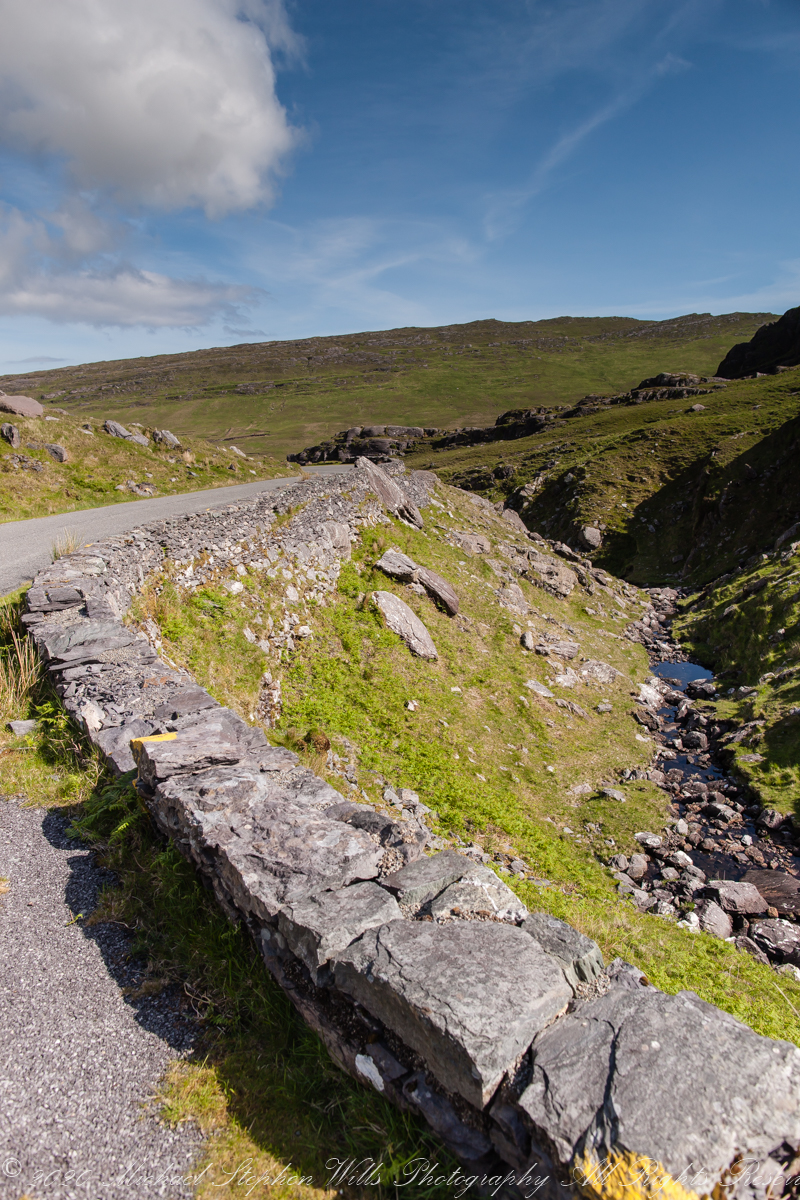
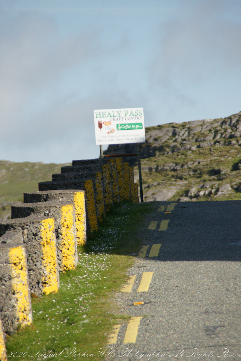
We crested Healy Pass, R574, surprised to find a shop with grand offerings of books and Irish knit sweaters. Passing over the Cork/Kerry border we stopped to admire the countryside from the heights. Pam models our purchase from the Healy Pass shop.
Clashduff townland, Beara Peninsula, County Cork, Republic of Ireland.
Looking back down the road.
A welcomed sight.
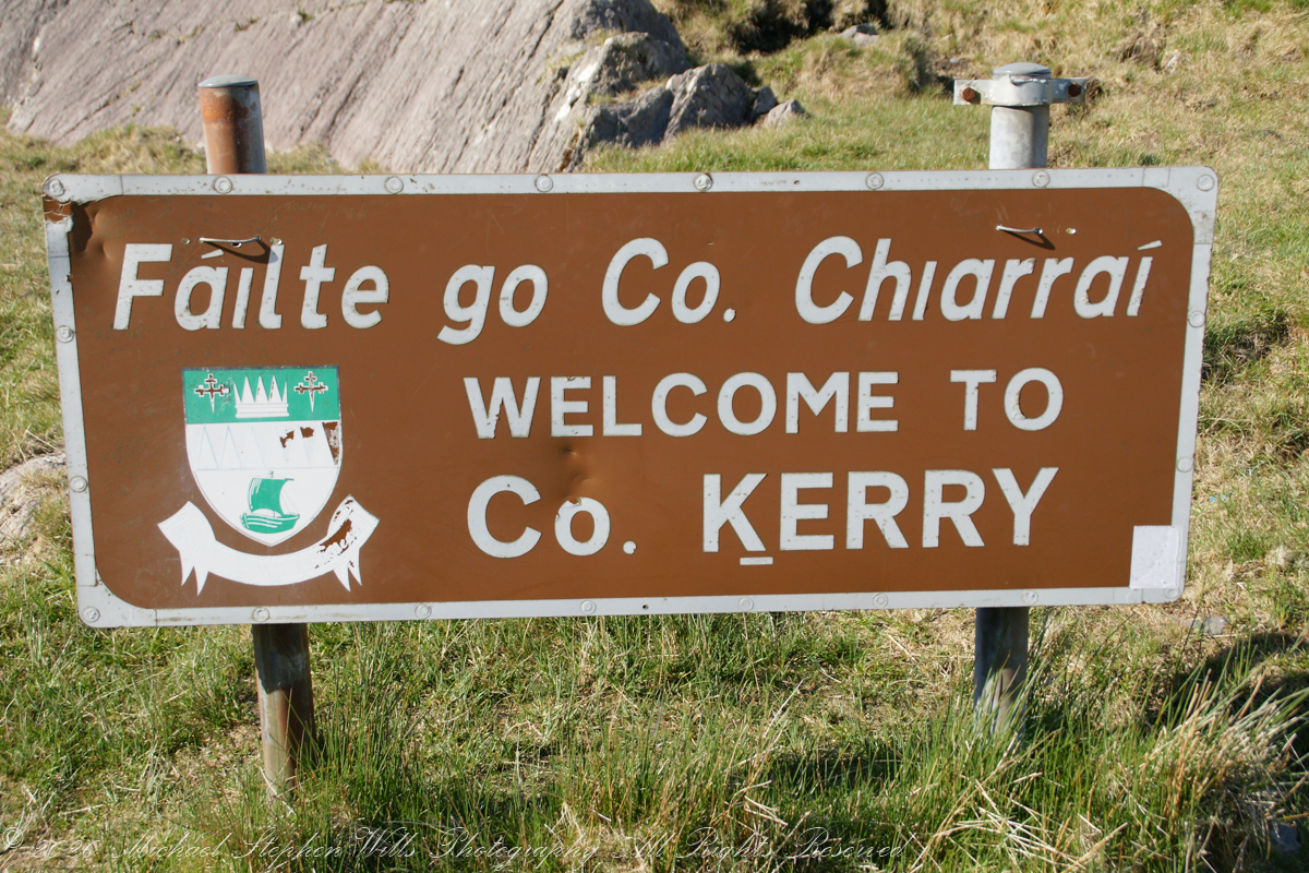
Passing into county Kerry on the way to Killarney.
A glorious setting. “The promised land.”
Copyright 2021 Michael Stephen Wills All Rights Reserved


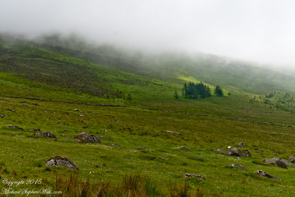
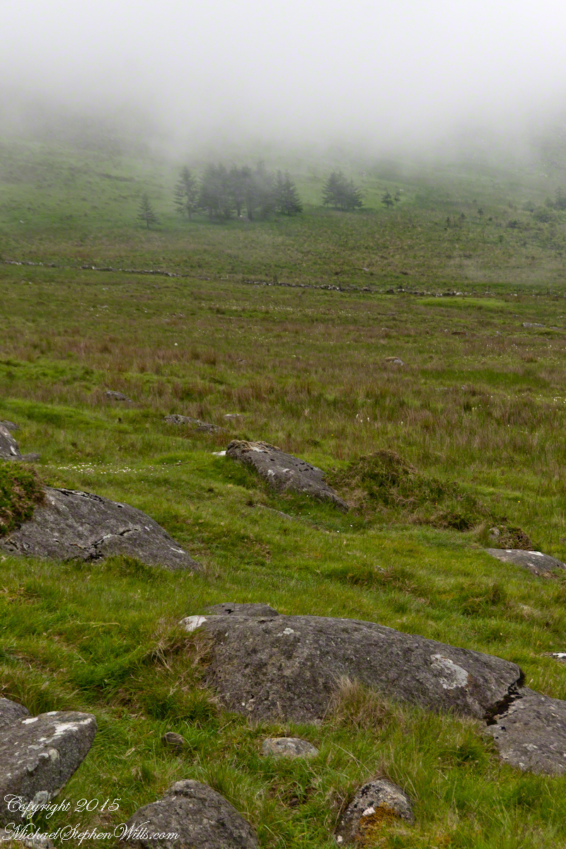
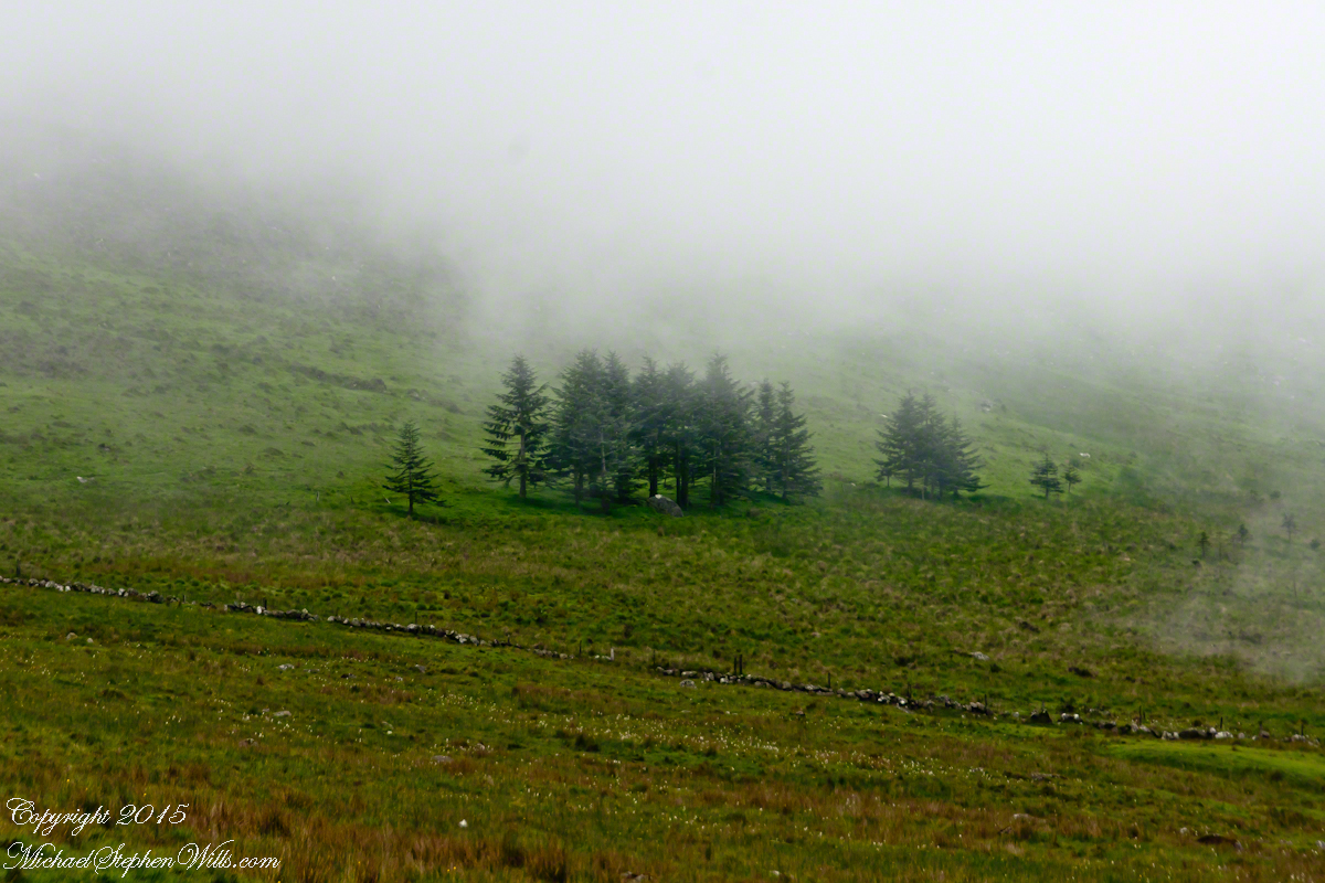
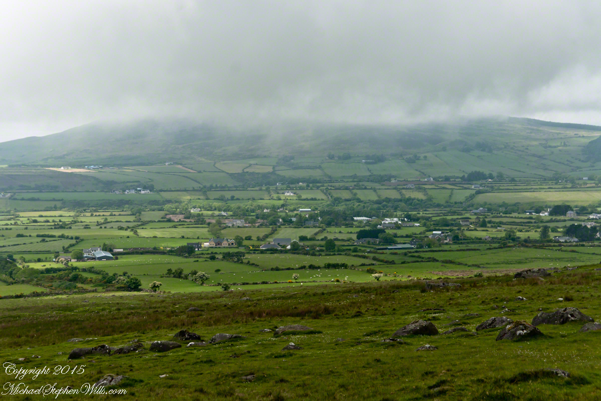
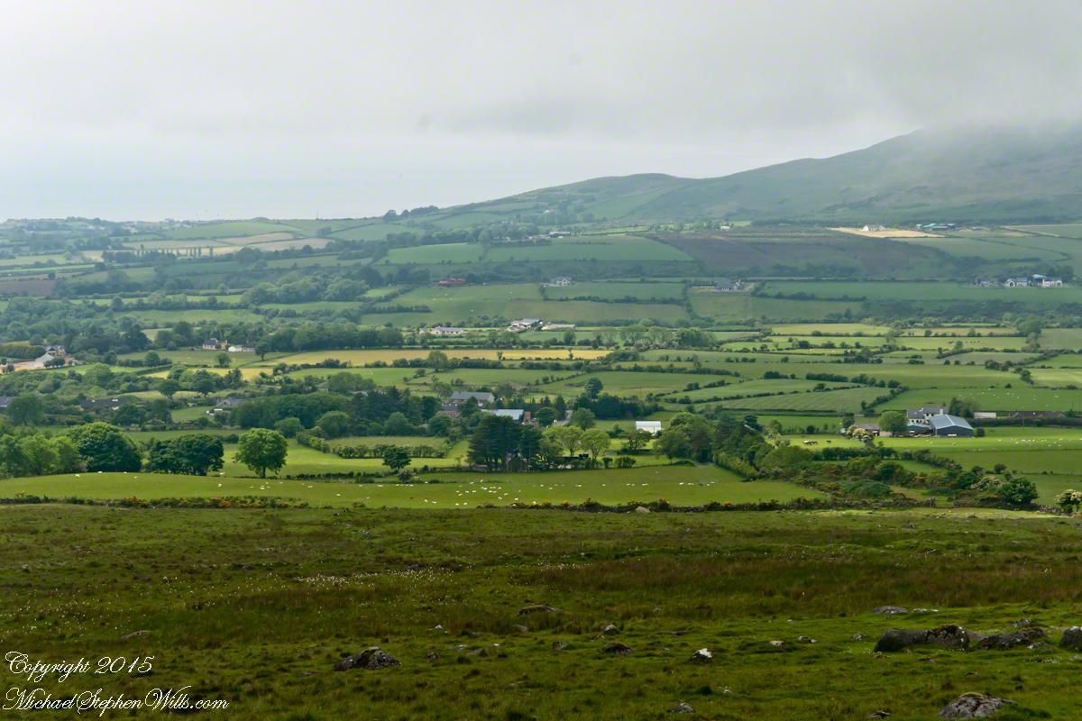
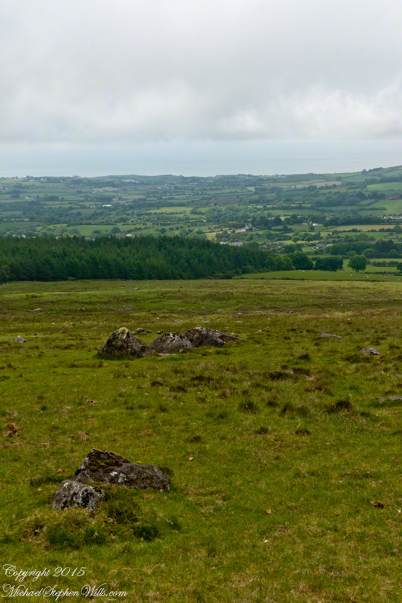
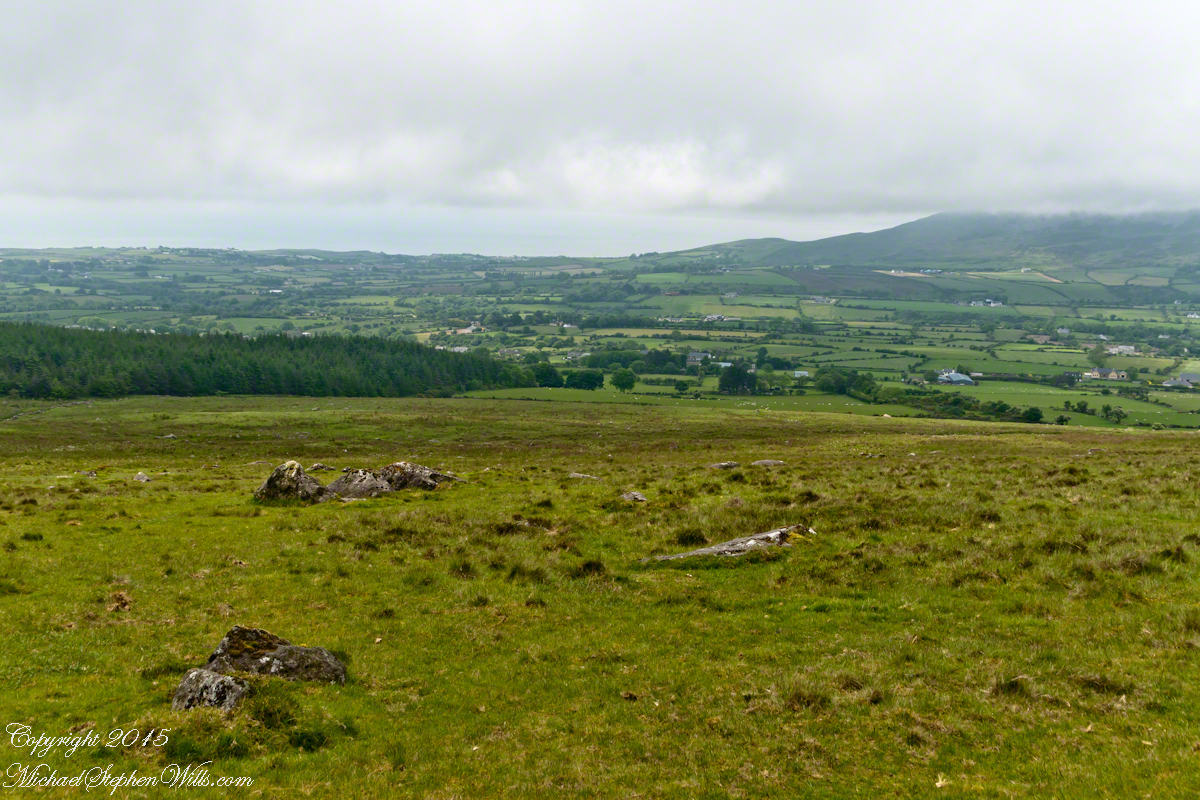
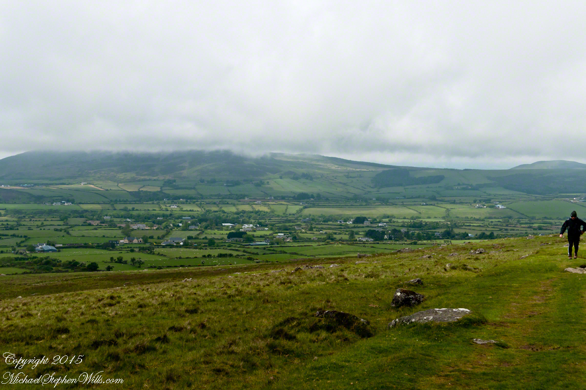
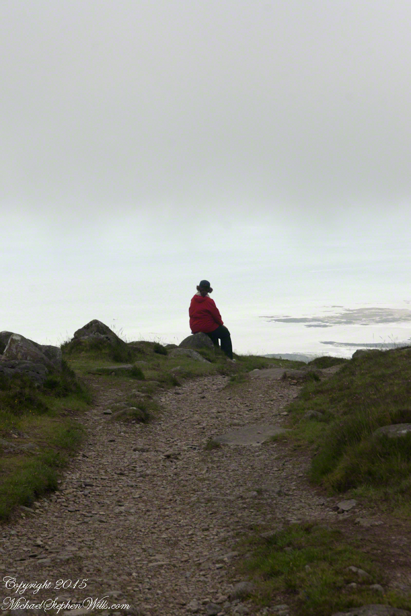





 The lower slopes hold many small stream among granite stones.