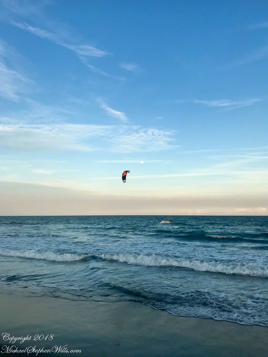
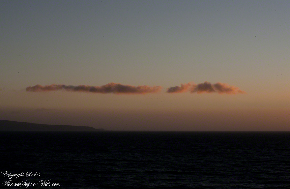
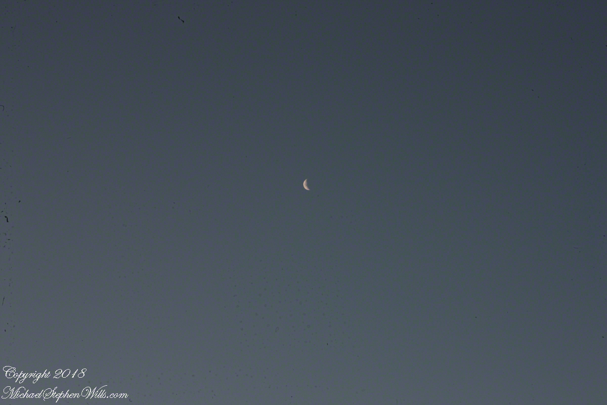
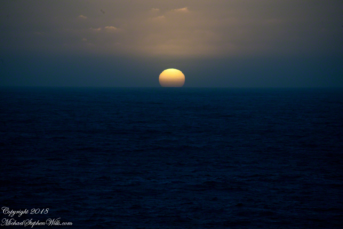
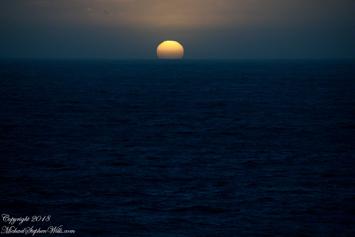
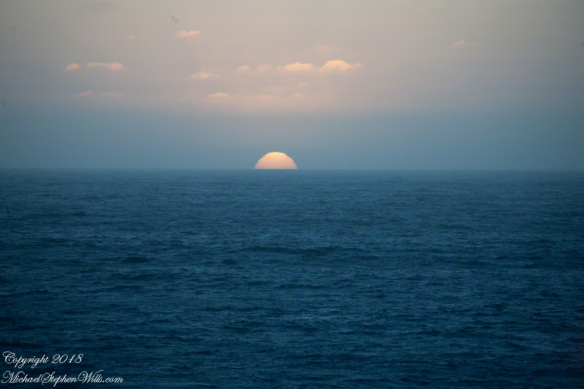
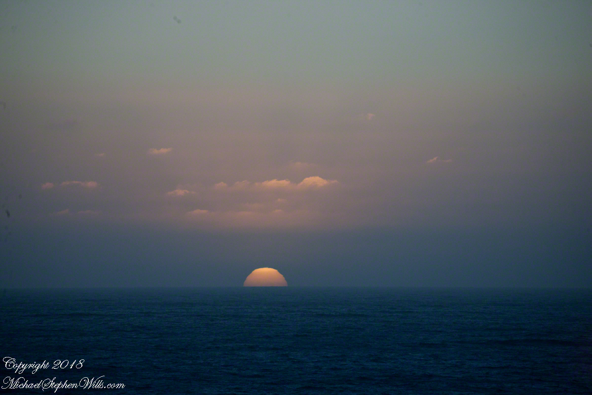
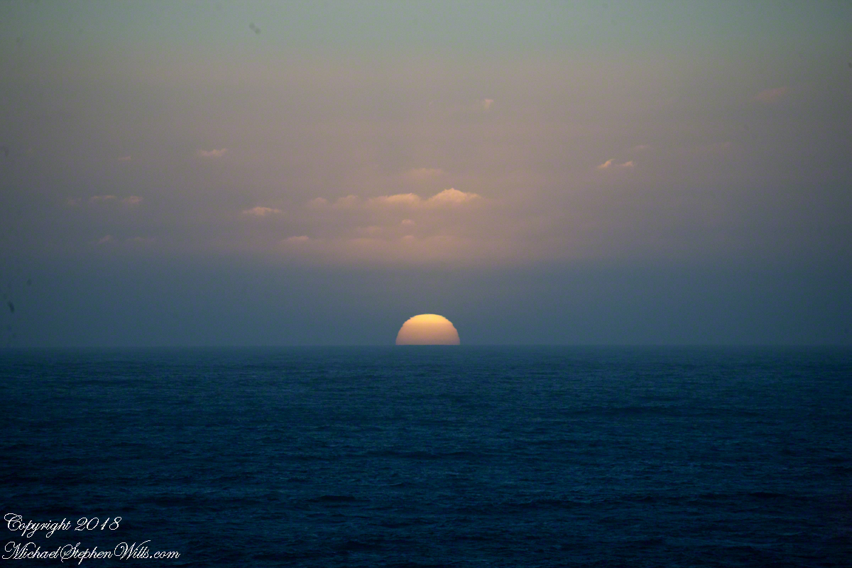
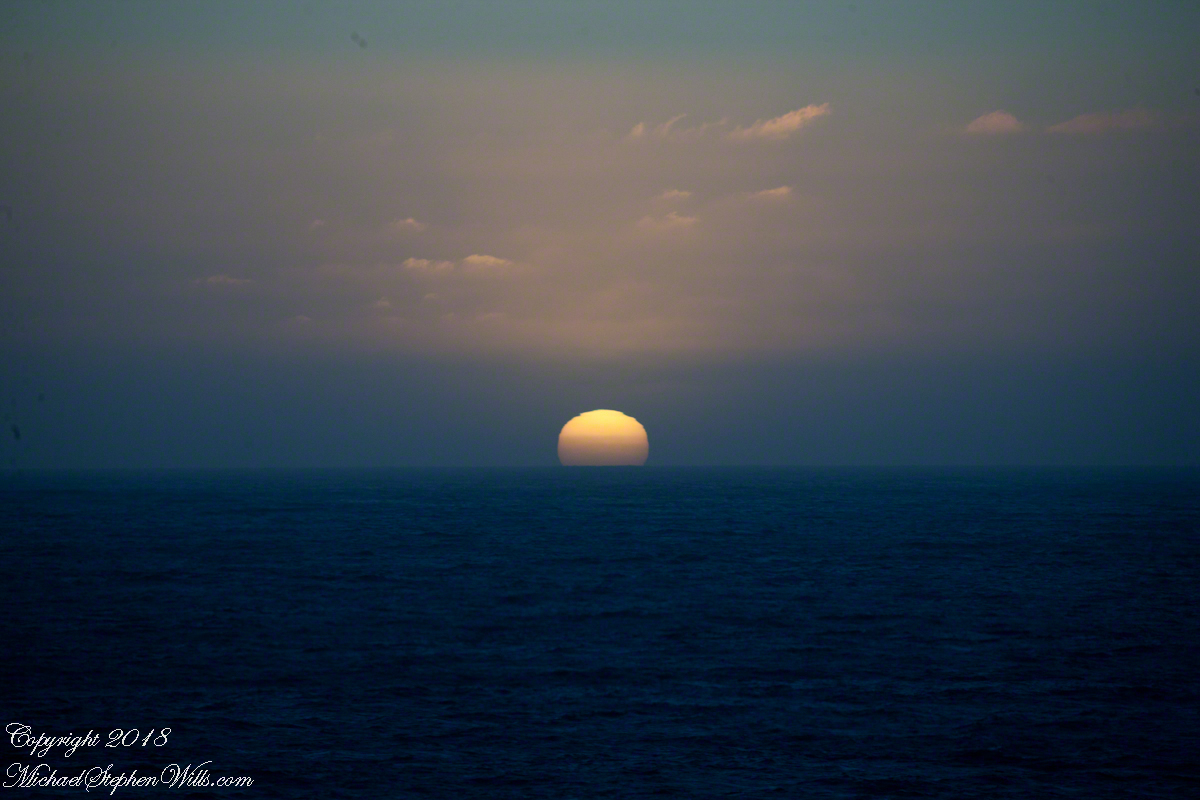
One day before the 2019 Total Lunar Eclipse a full moon rose 4:25 pm above the Atlantic Ocean off Cocoa Beach, the “Space Coast” of Florida. We saw a power kite to the south, with the southerly winds there was time before he was on us. I took the following photographs with what was at hand, an iPhone 8.
Click any photograph to visit my Online Fine Art Photography Gallery
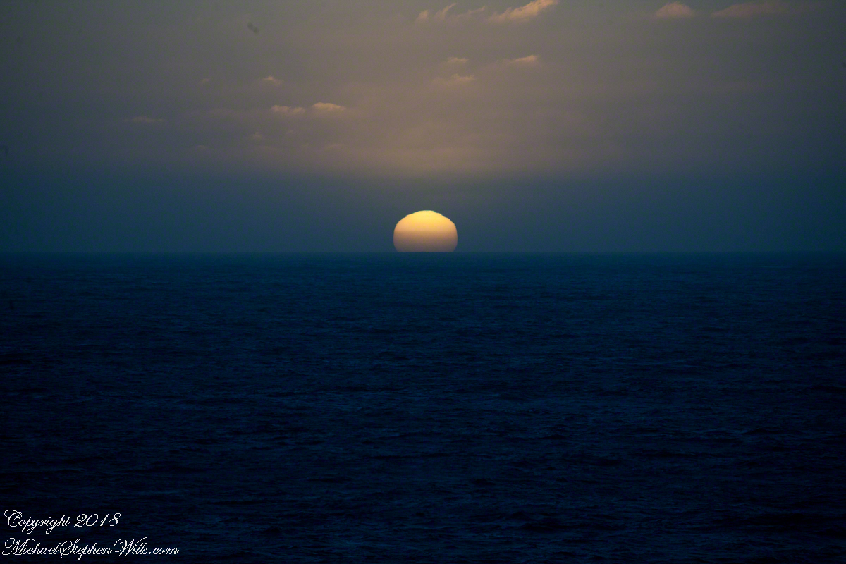
At 50 minutes post moonrise, I included the orb in this frame as the rider tacked, rising a water crest.
Risen Full Moon and Surf Boarder at Sunset
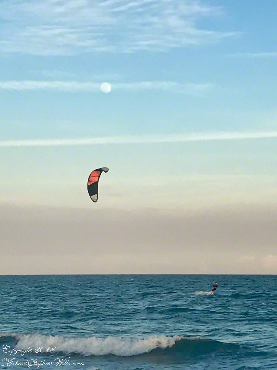
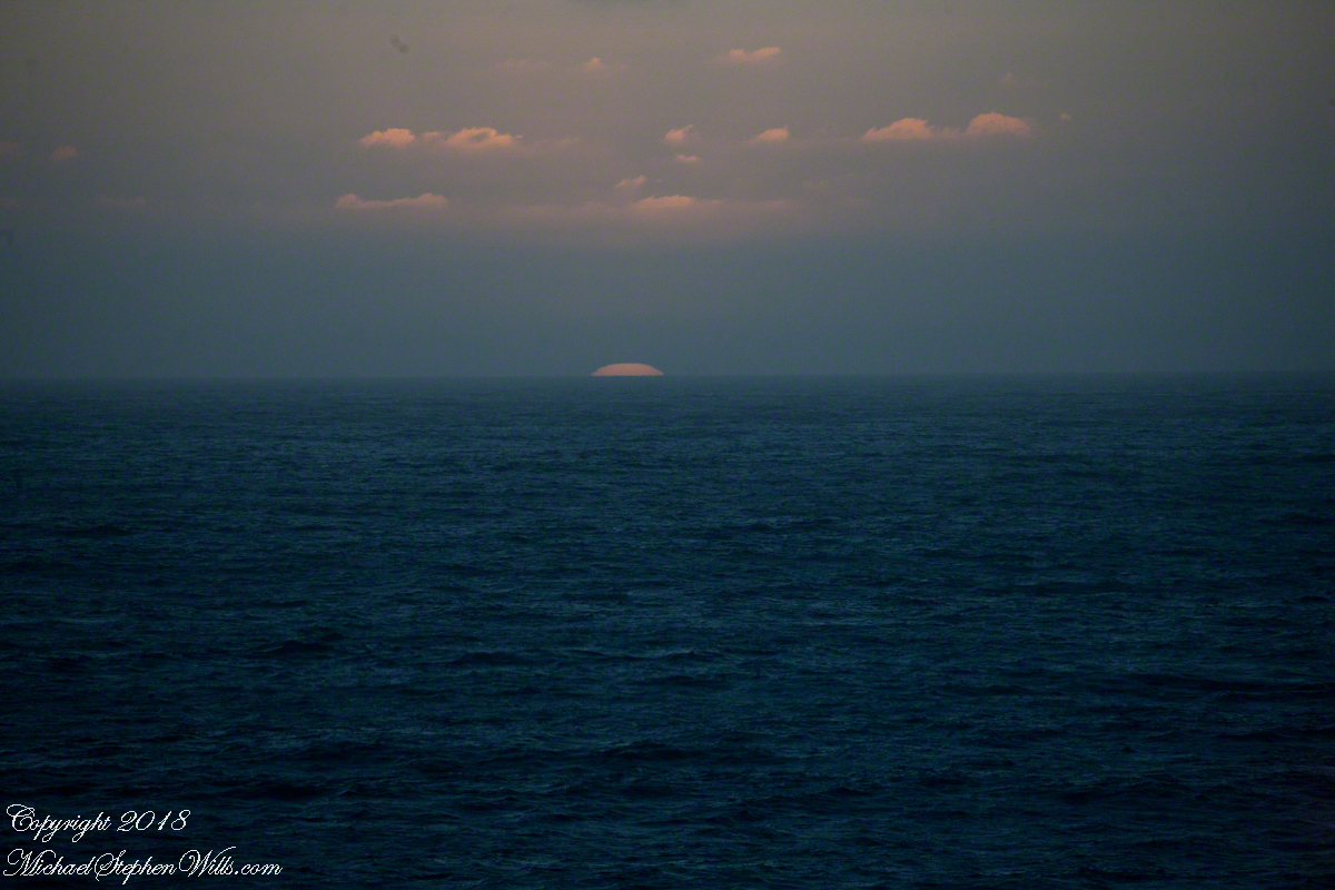
A flick of the fingers to zoom in, the moon and rider are together as he rides toward shore.
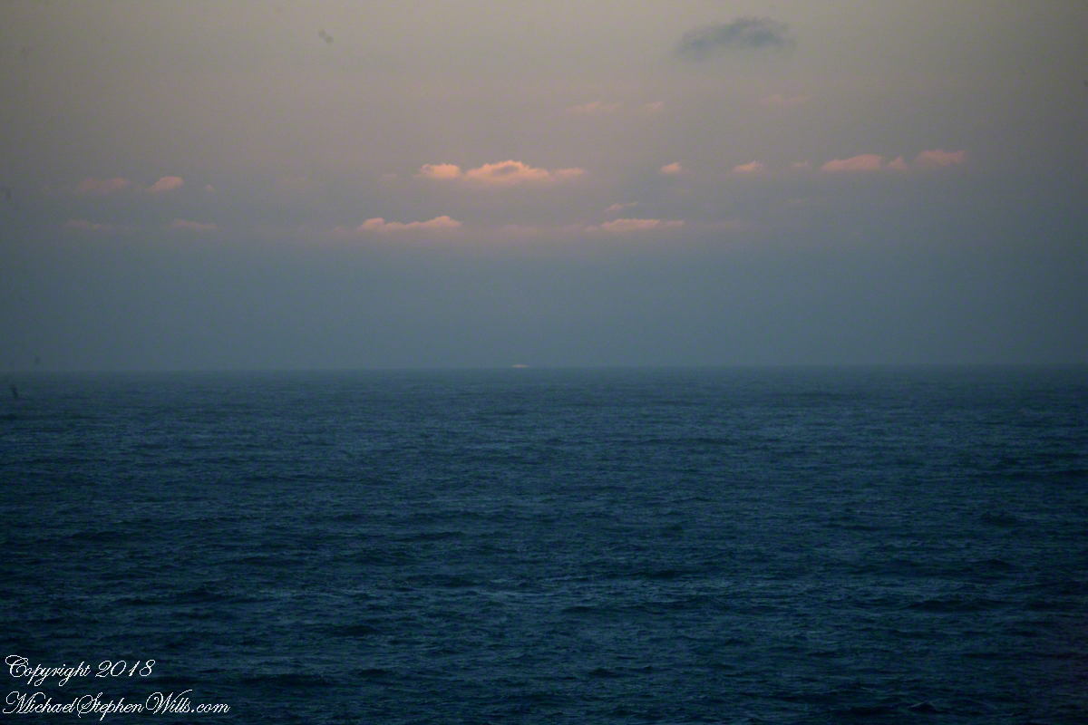
Risen Full Moon and Surf Boarder at Sunset with cruise ship
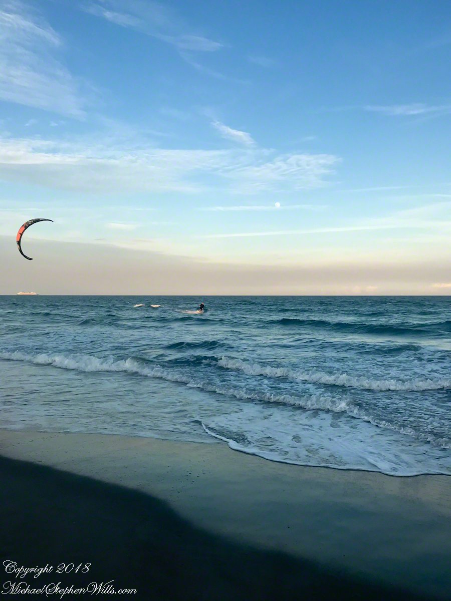
This time of, Saturdays, the cruise ships depart Cape Canaveral Port. The kite is above the distant ship. It is amazing the kite allows sailing into the wind, his heading is southwest. The shore limits his progress, forcing a tack towards a southeast heading.
Kite Surfer coming to shore at sunset.
Or not, it seems he plans to tack to the northeast, continuing progress north up the coast. I have to wonder how he will return to the starting point?
Copyright 2022 All Rights Reserved Michael Stephen Wills
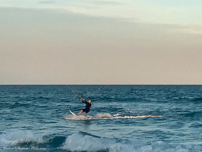
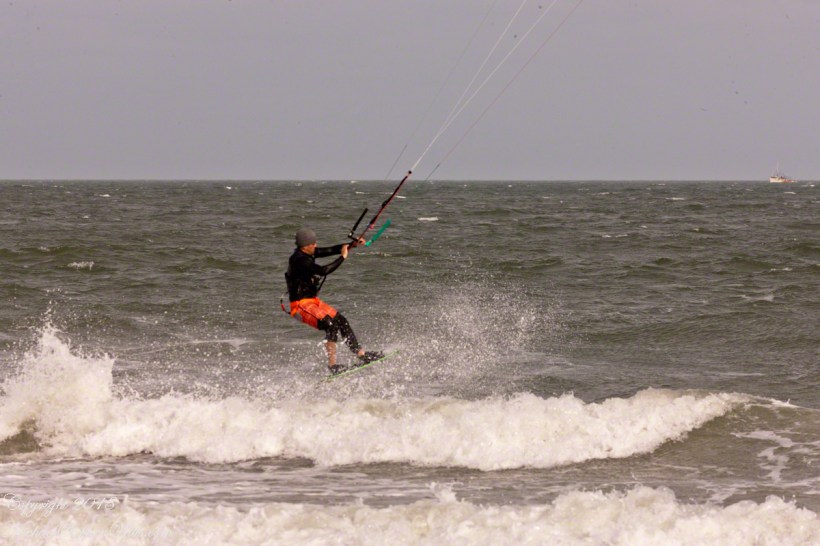
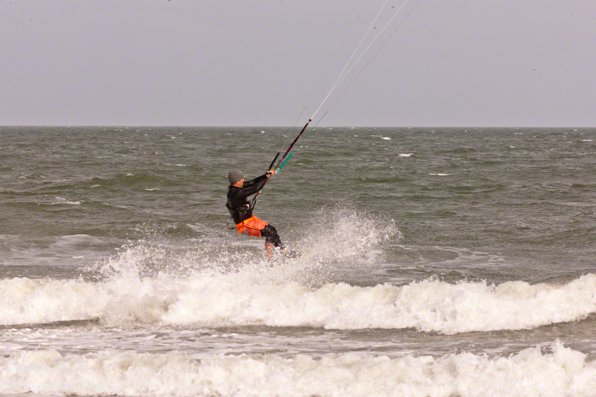
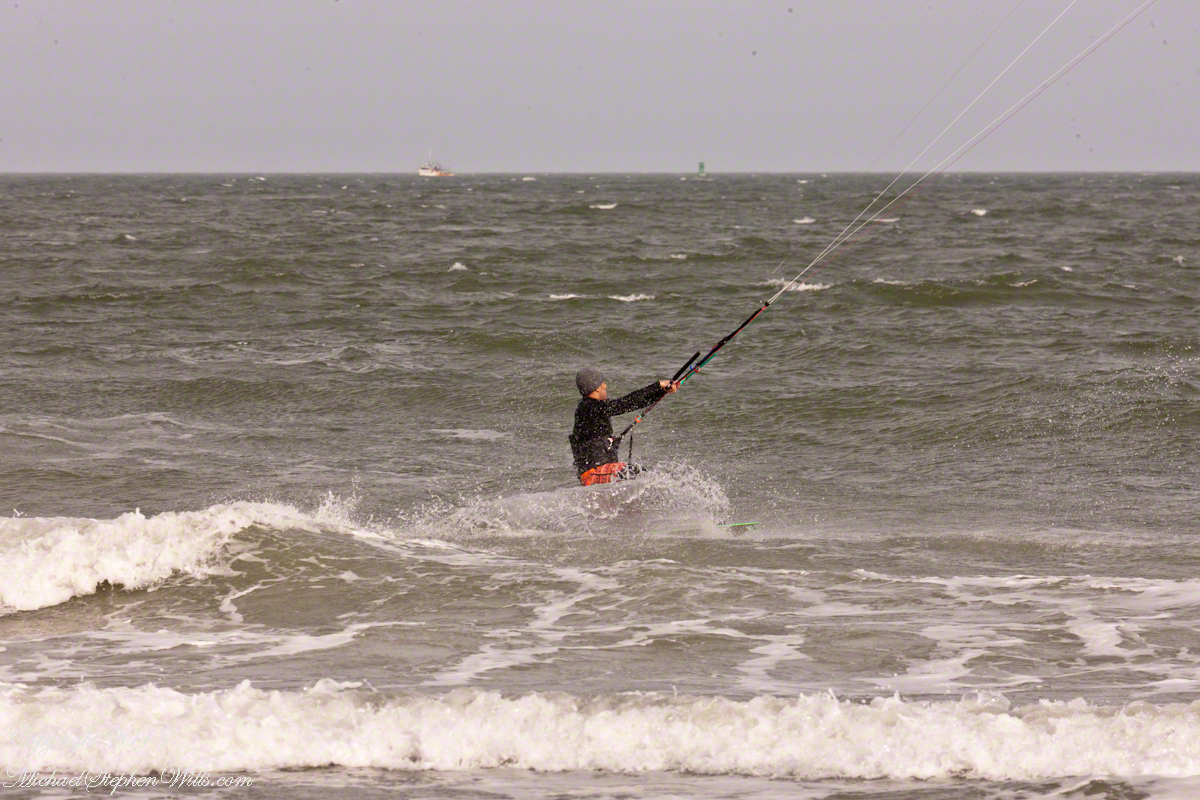
For a change of scene we visited Cape Canaveral, the beach at Cherie Down Park were an informal gathering of Kite Surfers was underway. Here is a series of action shots, one second elapsed from first to last.
Click any photograph for my Online Galleries
Conditions were excellent: good northerly wind, the sun overcast and, it being afternoon, in the west. Surfers stayed relatively close to shore, near their starting point. I had packed the “heavy gun” camera with a tripod.
Panning the scene (swiveling on the tripod), the camera in rapid exposure mode, I pressed the shutter release and held it down.
The surfer was captured mid-jump to landing.
Copyright 2022 All Rights Reserved Michael Stephen Wills
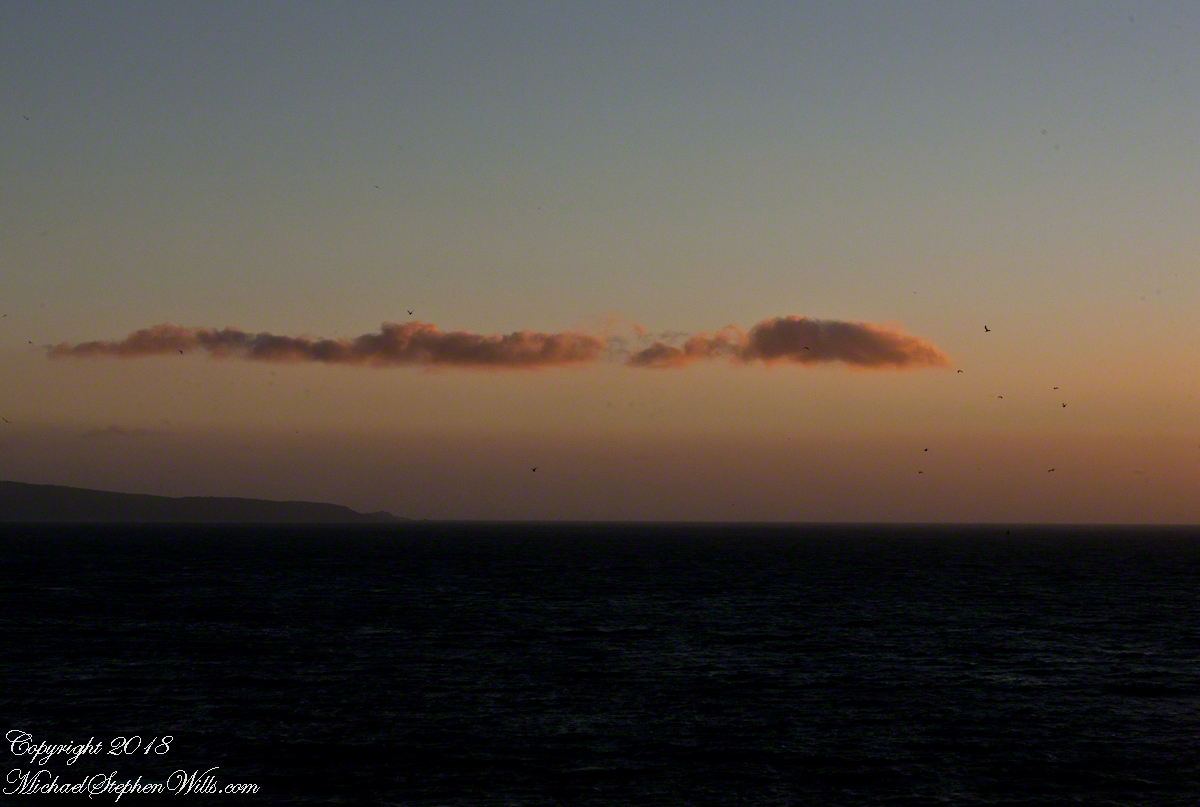
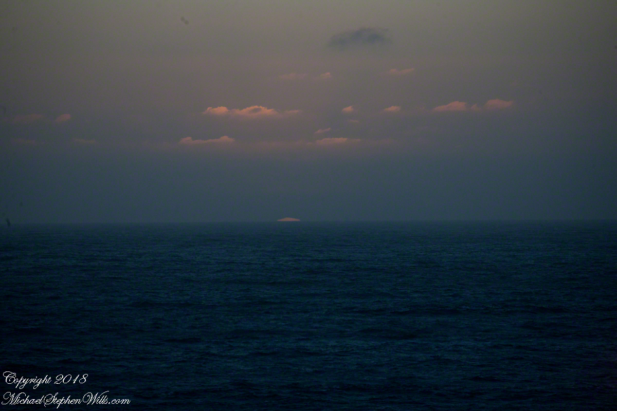
Two minutes after capturing the last light on Concon Point, see “Valparaiso Departure II”, turning the camera 180 degrees, to the south, looking along the Chilean coast, to capture birds on the wing headed toward shore at day’s end. Remembering other times,
waiting for darkness
with a sky map, studying it to make sense of the stars.
How far? How large?
Light from our star, eight minutes old,
grazed the earth’s rim the breath of a moth wing ago.
Connect the dots, stories of heroes, monsters.
Our star, as we know it now
Singular, alone,
Progress, an illusion to be understood
No less mysterious for that
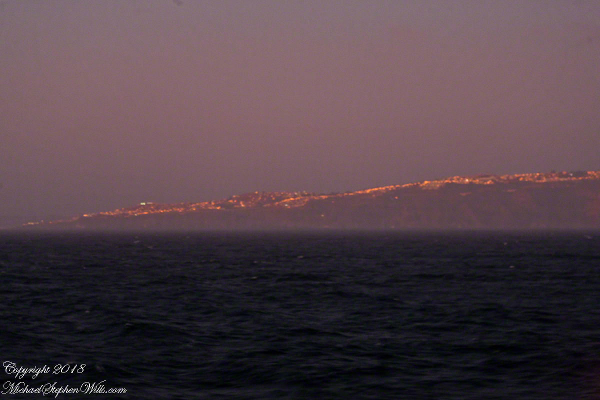
Look back to the sheltering headland of Valparaiso, glowing.
Copyright 2022 Michael Stephen Wills All Rights Reserved
The Rincons are one of 42 Sky Mountain islands isolated from each other by the gradual warming and drying climate changes since the last ice age, 10,000 years ago. While this marvelous environment of oak and pine forests only accessible with much effort on foot, it is literally visible from every point of the Tucson valley and million human inhabitants.
Rincon is Spanish for corner, the mountains are called that from their shape enclosing a space on the west, northwest until recently used for ranching and is now falling into use for tract housing. The mountains themselves are reserved as wilderness, parts in the Saguaro National Park and the Coronado National Forest.
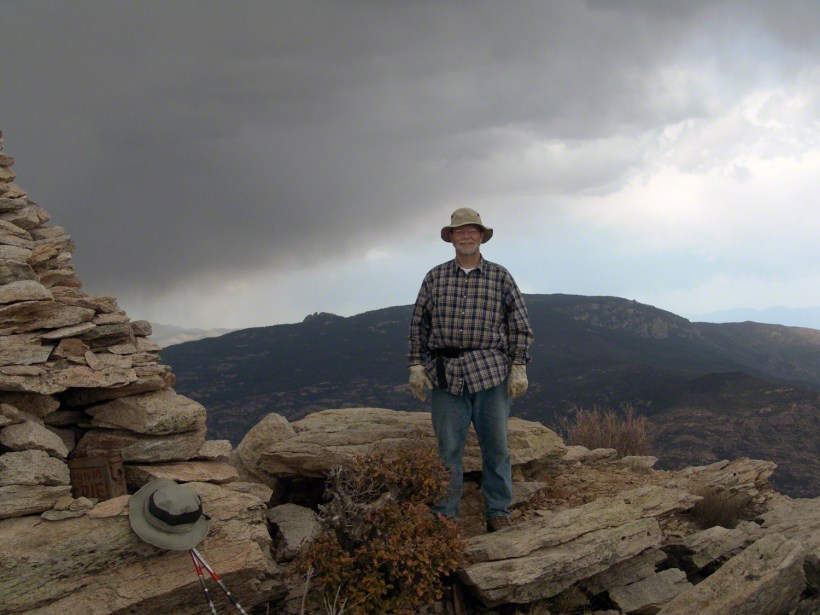
In the past 44 years I was lucky enough to visit the Rincon Wilderness interior three times, shouldering different style backpacks onto the mountain, walking different boots. The first, during college the 1970’s, a party of six left from the end of Speedway, up the Douglas Springs trail. The climb was an exercise in desert survival that several friendships did not survive, replace by new friends met on Mica Mountain. I have no photographs from that experience, only memories and the backpack.
Reconnecting with Arizona in 2004, thirty one years after that first experience, I took no chances. My first attempt on Rincon Peak was a success. Risk and effort were reduced, not eliminated by hiring a guide for the four day trip. We made it to Rincon Peak via the Turkey Creek Trail out of Happy Valley, climbing a mountain buttress, views ever widening and lengthening.
These are some photographs from that experience and a landscape photograph of the peak at sunset, taken the following year.
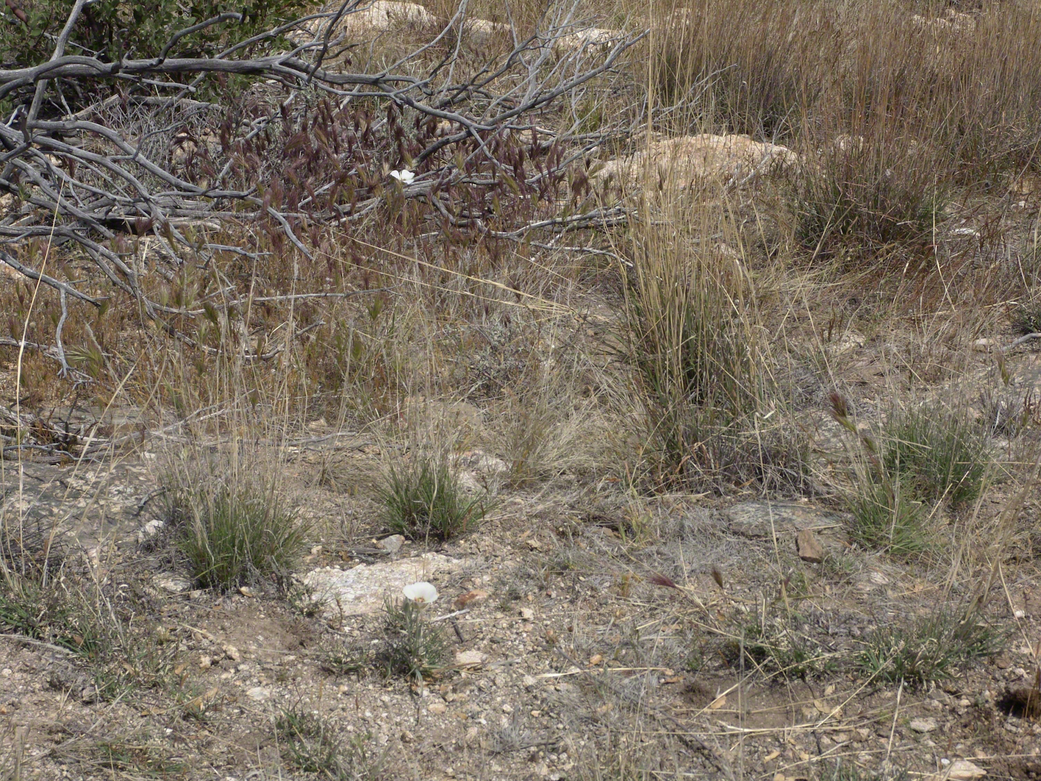
Sego Lilies bloom among a stricken oak and drying grasses on the Turkey Creek trail. This is an overview of the environment, it is the winter rains that trigger the bloom.
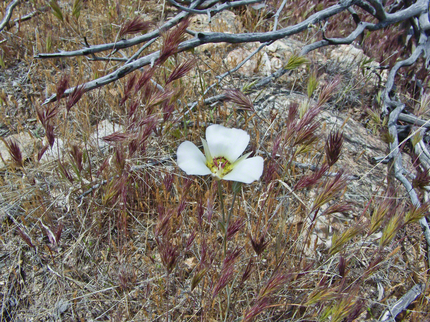
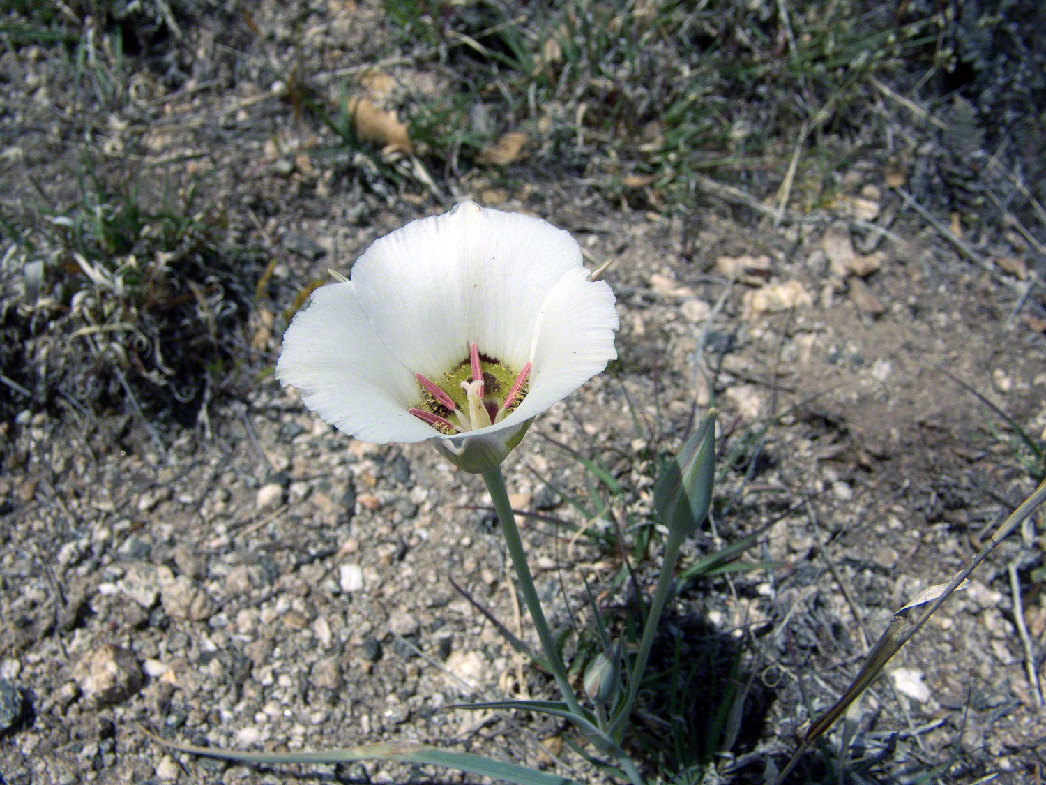
We paused while I unpacked my gear to capture Sego Lilies growing along the Turkey Creek Trail.
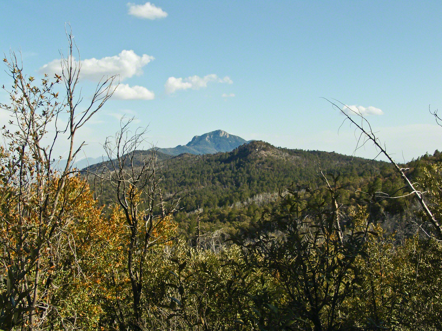
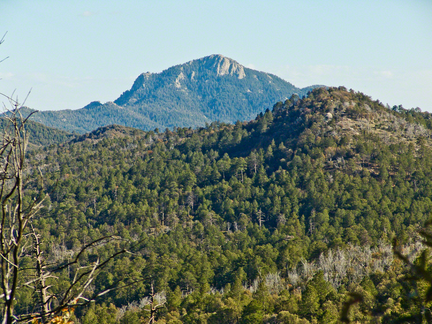
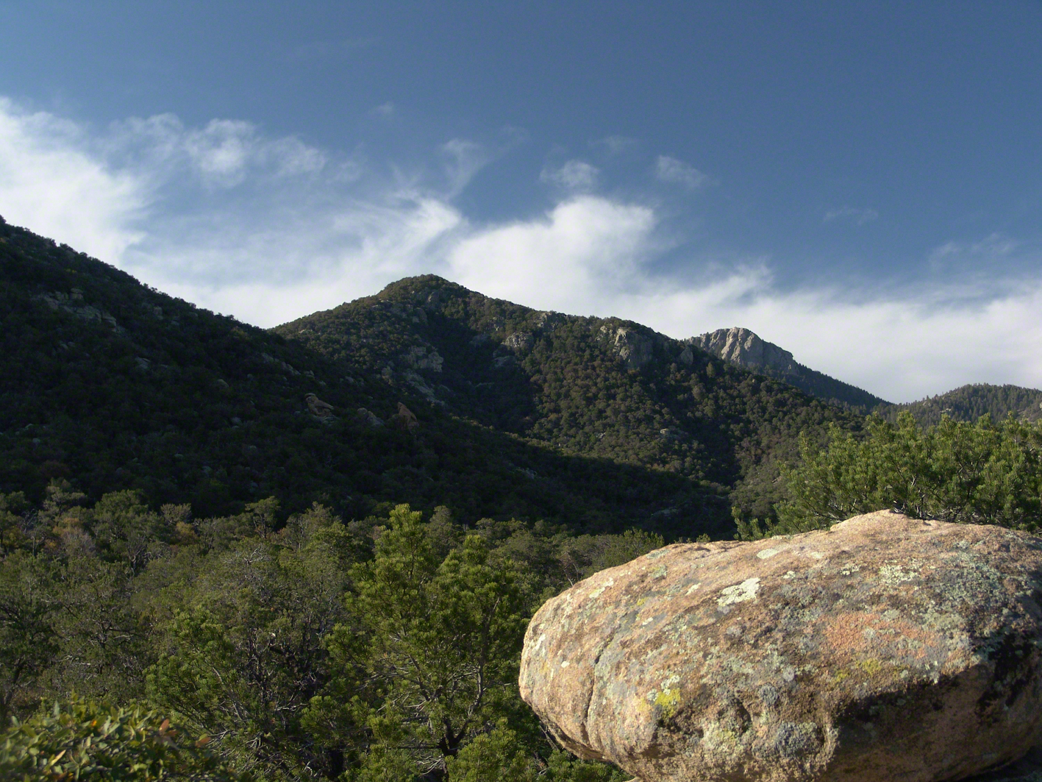
Deer Head Spring, at the top of Turkey Creek Trail was a moist spot with no accessible water when we reached it April 27, 2004. With the remains of a gallon of water each we needed to press ahead to Heartbreak Ridge and climb into Happy Valley Saddle were, thankfully, the creek was low and full of algae but usable. Here are my first views of Rincon Peak, looking across the aptly named Heartbreak Ridge and Happy Valley Saddle.
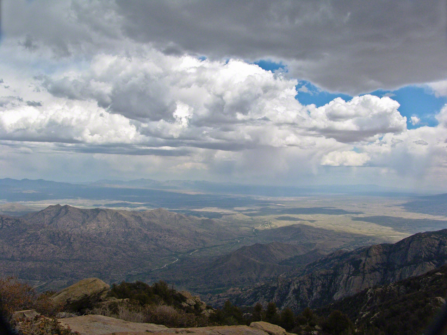
The view to south from Rincon Peak. The white rocks at lower right forms a Valley of the Moon wall. San Pedro River valley at the root, Mae West Peaks at left margin, Dragoon Mountains with Cochise Stronghold center. Taken around 12:30 on April 28, 2004 as a thunderstorm approached.
The Rincon Peak view looking south, southwest over the Valley of the Moon to the eastern Tucson Valley and the Sky Islands the Whetstone Mountains (Apache Peak), behind are the Santa Ritas. The works of man are overpowered by sky, rock, distance.
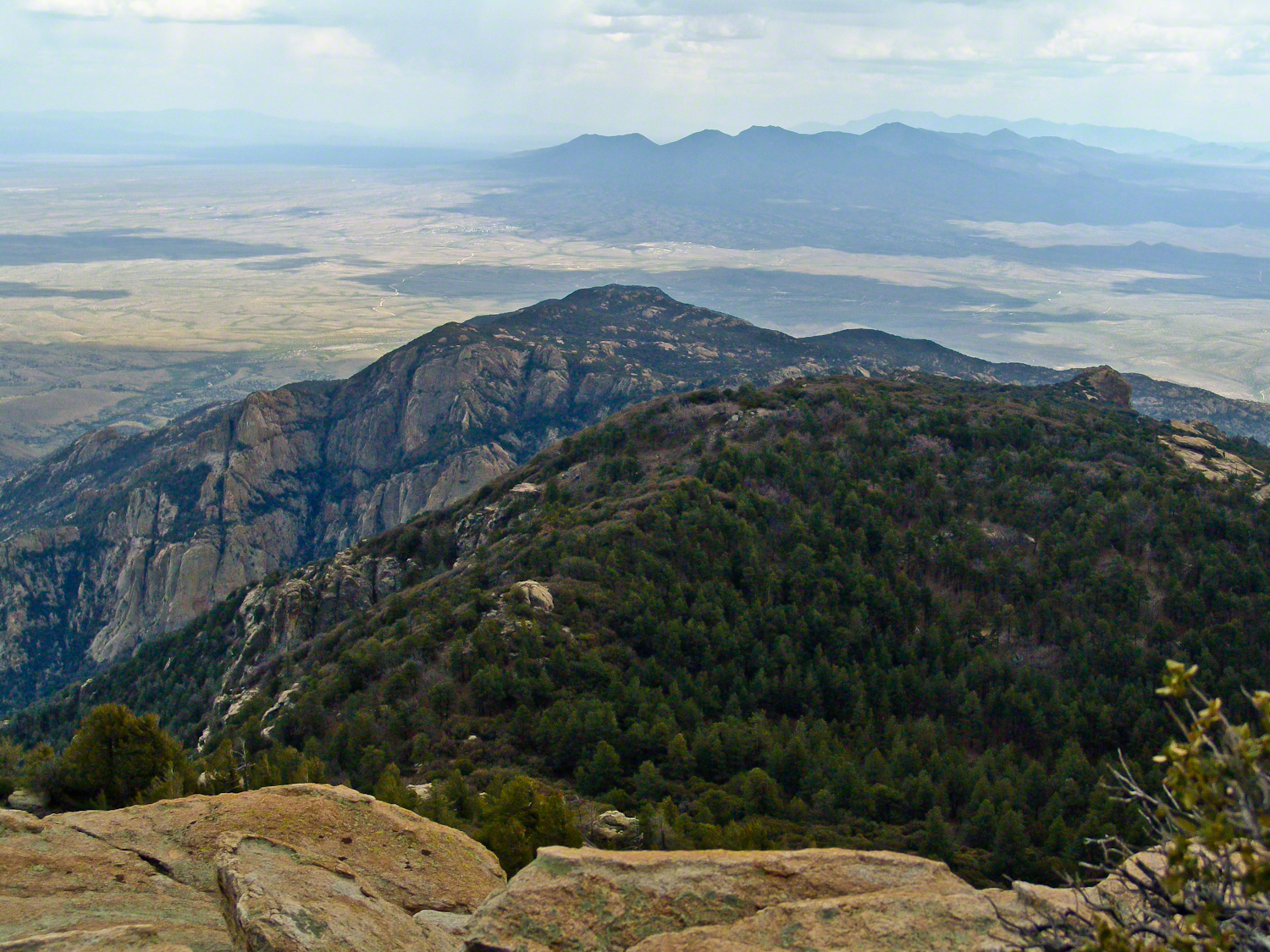
We made a hasty departure in front of the thunderstorm. It was a touch and go decision to attempt the peak that day, we made it with moments to spare.
April 29, 2004 the morning after reaching Rincon Peak I set up the tripod near our Happy Valley Saddle camp to capture Rincon Peak in early morning sunlight.
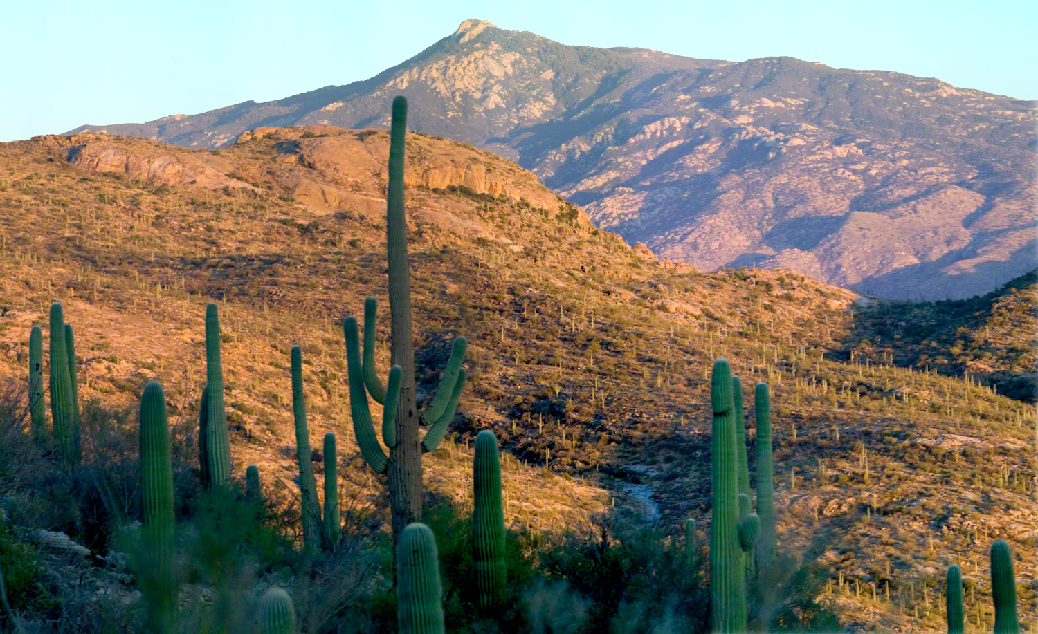
The day we descended to the X9 Ranch via the Rincon Creek trail. My guide’s grandfather had a homestead at the X9 and his access to the trailhead through private lands opened this route for us. This is a photograph of sunset on Rincon Peak from the X9 ranch. I am looking east from the Rincon (Spanish for corner) made by the massifs Rincon Peak, Mica Mountain and Tanque Verde ridge.
The evening of November 2, 2006 I climbed the Saguaro National Park, East, Tanque Verde trail for about 30 minutes to reach this view of Rincon Peak and waited until just before the sun set behind the Tucson Mountains for this shot. Then hiked back to the car in twilight. In my hurry, I tripped on a stepped turn and dove headfirst into a large prickly pear. It was a very painful experience and I regretted damaging the cactus and the loss of and good hiking shirt. There were large spines in my face and tiny, pesky spines covered my chest and back. The large spines are not barbed and come right out. I needed to visit a physician to remove them.
Copyright 2021 Michael Stephen Wills All Rights Reserved
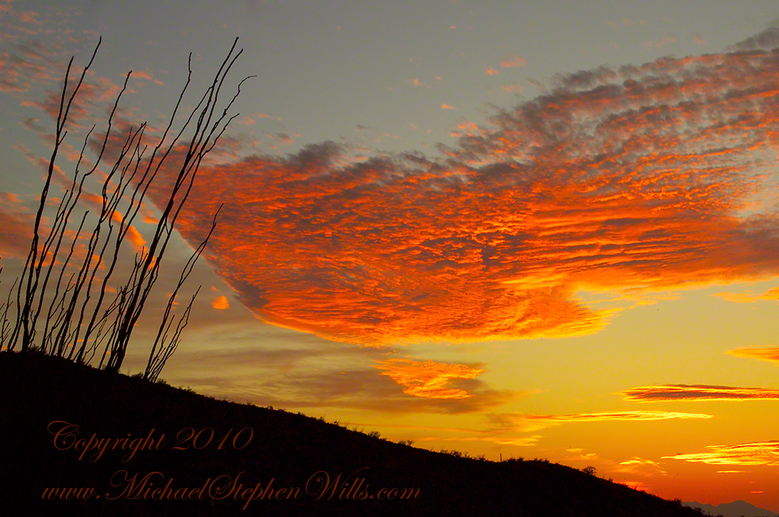
Here is a postscript for my retrospective diary of the day I created my print “Ocotillo Sunset.” You can visit “Ocotillo Sunset” in my Online Gallery by clicking on any photograph .
In near total darkness, the last sunlight only enough for the far western sky, these are the last shots of this series.
Click photograph to view Ocotillo Sunset in my Online Gallery
Afterglow I
Click photograph to view Ocotillo Sunset in my Online Gallery
Afterglow II
The final result of the day’s work, “Ocotillo Sunset.”
Click photograph to view Ocotillo Sunset in my Online Gallery
The penultimate posting of my retrospective diary of the day I created my print “Octillo Sunset.” You can see a large version of “Ocotillo Sunset” by clicking on any of my blog photographs.
The Flag in Formation and Realization
Then, for reasons I can only speculate about, a spectacular shape came together in the clouds. In the following photograph I have yet to recognize, to see, this cloud sculpture. Do you see part of “Ocotillo Sunset” coming into shape? As far as I remember, at the time I had only a dim realization of what was forming in my view finder and in front of me.
Click photograph to view Ocotillo Sunset in my Online Gallery
The Flag Forms
Then, I changed camera orientation and shifted the view a few degrees to the left and there it was: a coherent shape of something. Here it is in full, untethered.
Click photograph to view Ocotillo Sunset in my Online Gallery
Unanchored, a Flag or Ship
The final result of the day’s work, “Ocotillo Sunset.”
Click photograph to view Ocotillo Sunset in my Online Gallery
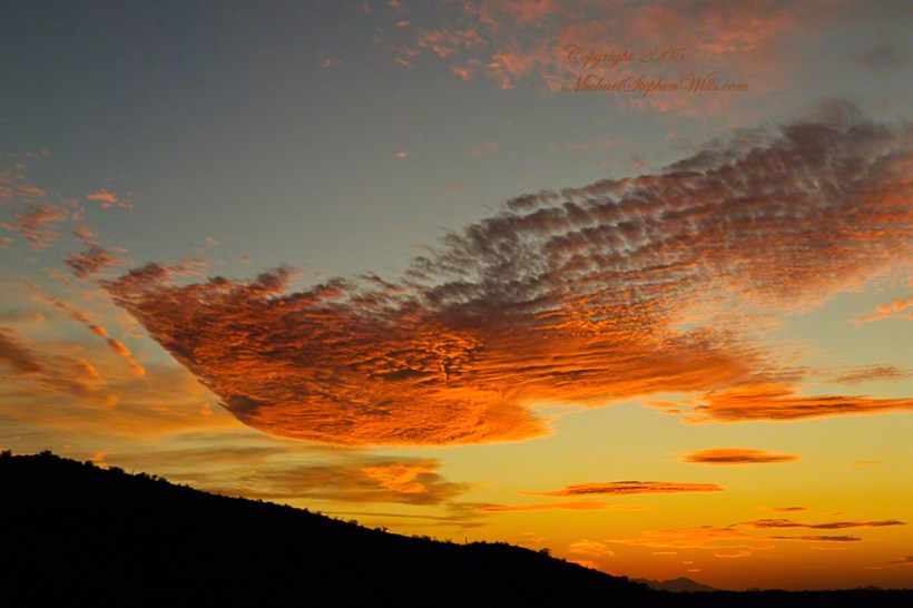
This is a retrospective diary of the day I created my print “Ocotillo Sunset.” You can see a large version of “Ocotillo Sunset” by clicking on any of my blog photographs.
Shooting as the World Turns
In Part 5, we enter the final phase of this day’s work with darkening of the land while in the sky sunlight reflects off high clouds. The length of this moment when twilight is over, just before night falls, varies with latitude and time of year. Near the poles (high latitude) this light can last for days while here, at about 32 degrees north, it is less than 15 minutes. As I wrote in Part 4, after this light, the desert is absolutely dark. This is why I chose to set up by the roadside.
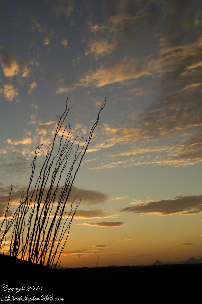
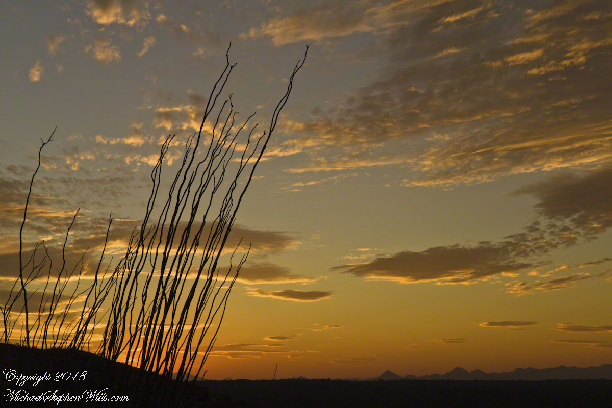
In the following two photographs I experimented with camera placement and foreground elements. Starting in Part 4 I became aware of Ocotillo branches, using them for the effect of reaching for and, here, anchoring the clouds.
Click photograph to view Ocotillo Sunset in my Online Gallery
Saguaro Sunset II
Lead Around by an Ocotillo
These earth-bound Ocotillo branches lead me to the darkened earth. How much to include in the shot? I searched for a balance between the vastness and complete blackness and needed a point of interest. Time was running out.
Click photograph to view Ocotillo Sunset in my Online Gallery
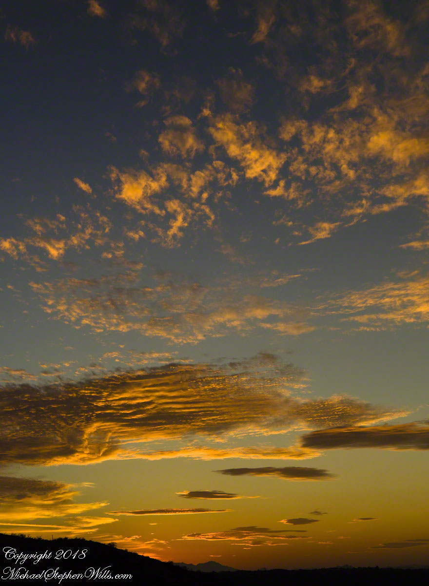
This is a retrospective diary of the day I created my print “Ocotillo Sunset.”
Choices of the Evening
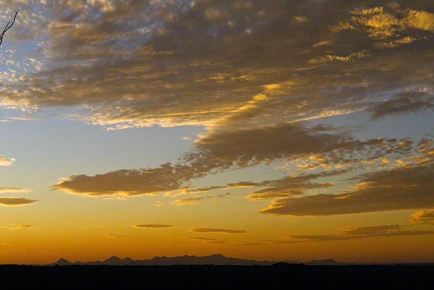
The next few blogs are a set of photographs from the developing sunset of that November evening. Once set up, my practice is to stay in place until there is nothing left of capture; all the while evaluating the results and adapting the camera settings, framing and lenses to the environment.
Happening in the Twilight
By this point, twilight is over and only the sky is lit. According to file metadata posted at capture, thirteen minutes passed from the following photograph till the last. I mounted my camera on a simple tripod, purchased from a mall chain store, with the standard controls. I prefer to specify ISO and set it at 160 (the lowest value) throughout. The sky was calm and, with the tripod, I used the aperture setting with higher values. This was f13 / 1/60.
Click photograph to view Ocotillo Sunset
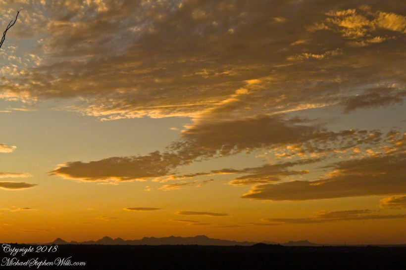
The clouds are forming up. I need some foreground. Vastness on vastness is a bit much. Those are the Tucson Mountains in the distance. If you look closely, on the right the Tucson Mountains dip down, revealing Kitt Peak, at least 60 miles distant. It is the defined peak on the left of that range. In early morning light, the Mayall 4 meter telescope building gleams white on that point.
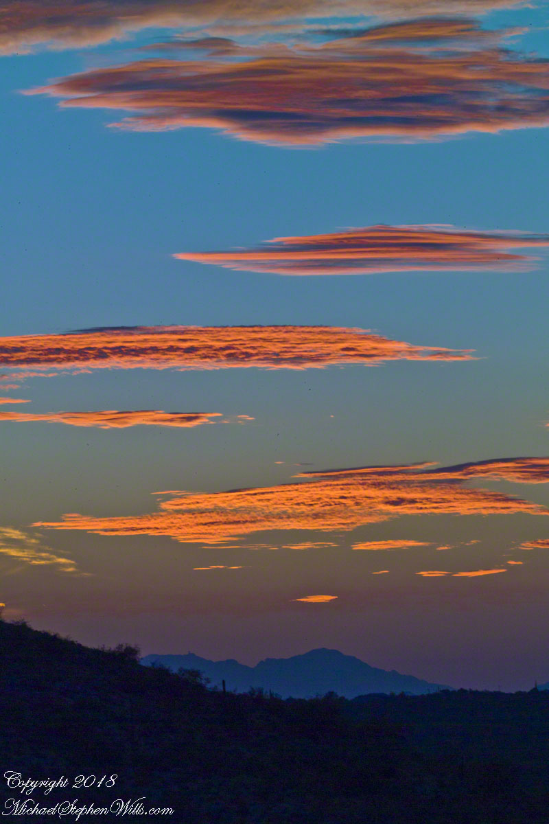
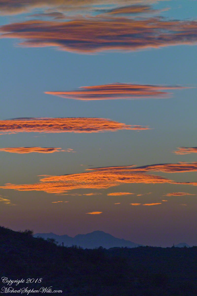
The sun illuminates different levels of clouds as the earth turns toward night. These are altostratus cloud types, at 6,500 to 20,000 feet, formed by strong winds.
The elements of my print “Ocotillo Sunset” are coming together. Do you recognize them from this image of my print?
This is a retrospective diary of the day I created my print “Ocotillo Sunset.”
Choices of the Evening
As the Golden Hour approached I had a choice to make.
My perch on Lime Kiln Falls was not safe. As the sunset developed, while I focused on the work, the trail would be lost in the gathering darkness and, even with a headlamp, I decided to avoid picking a way down a 1+ mile pitch dark deserted desert trail. Choosing not to stay, for the second time I packed up and was on the move.
That time of day wildlife is also moving and, in a short time, a rattlesnake, javalina (wild pig of the desert) and jack-rabbit crossed my path. Part of my photography kit is a Sony digital camera with a variable lens carried across the front in a readily accessible “fanny pack.” That day, I walked with the camera out and ready. I needed to be in place for an increasingly promising sunset and so spent a minimum of time with wildlife photography.
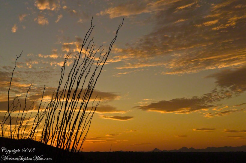
Saguaro Sky
I was only half way to the car at the time when the sun was a few degrees above the western horizon and sunlight raked across the desert. The northeast sky lit up. In these perfect moments I captured this personable saguaro on Lime Kiln ridge with a tripod mounted Kodak SLR body with an excellent 50 mm (“portrait”) lens (EF 50mm f/1.2L USM) fitted with a flexible hood. ISO 160, f13 with auto settings choosing 1/5 second.
The ocotillo branches, to the right, caught my eye. “A nice effect”, I thought. There were some high level winds shaping the clouds that evening. The Santa Catalinas are in the distance.
Click any photograph to view Ocotillo Sunset
Saguaro Sky
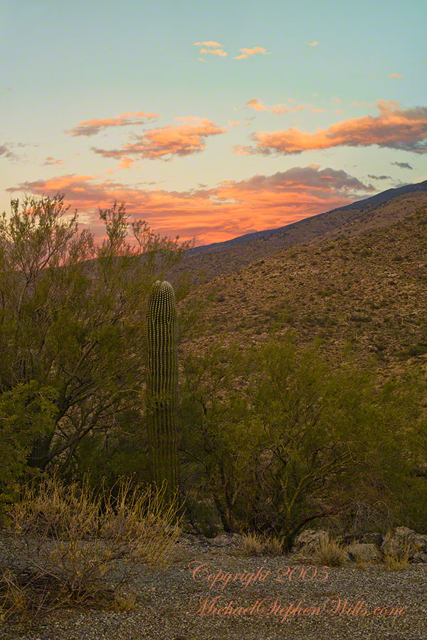
Nurse Tree
I set up back against the Tanque Verde ridge, the highest point of the road, on the western shoulder.
Front and center was this “adolescent” saguaro still growing in the shelter of a “nurse” Palo Verde tree. This saguaro benefited from the shade and protection of the tree as a seedling and juvenile. It has grown beyond the need for this protection. Eventually, the requirements of the larger cactus will starve the tree and it will be left alone, as you see it in the previous photograph. That is the shoulder of the Rincon Mountains in the distance. The direction if between northeast and east.
I am using the same camera and lens, ISO 160, f13 and auto exposure choosing .6 second. It is twilight.
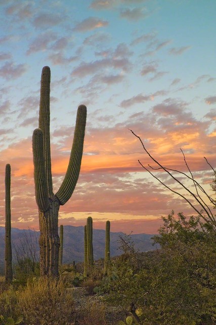
November is a special time for the ranges and basins of southern Arizona deserts. Climb a bajada of foothills, face west and wait for the sunset. That is what I did this day, November 3, 2005. East of Tucson the Saguaro National Monument at the foot of the Rincon Mountain Wilderness is where I parked, unpacked the photo gear and climbed the side of the Tanque Verde Ridge for a favorable view. Weather was pushing high level moisture from the west, clouds were developing.
You see here a shot from that session. In the distance, looking across Tanque Verde, are the Santa Catalina mountains. Months since the last rainfall, the giant Saguaros are using internal moisture reserves drawn up from a shallow root system, the flesh is less plump, the supporting structure of the ribs, always evident, are more pronounced. The last light catches these ribs in relief against a dramatic sky.