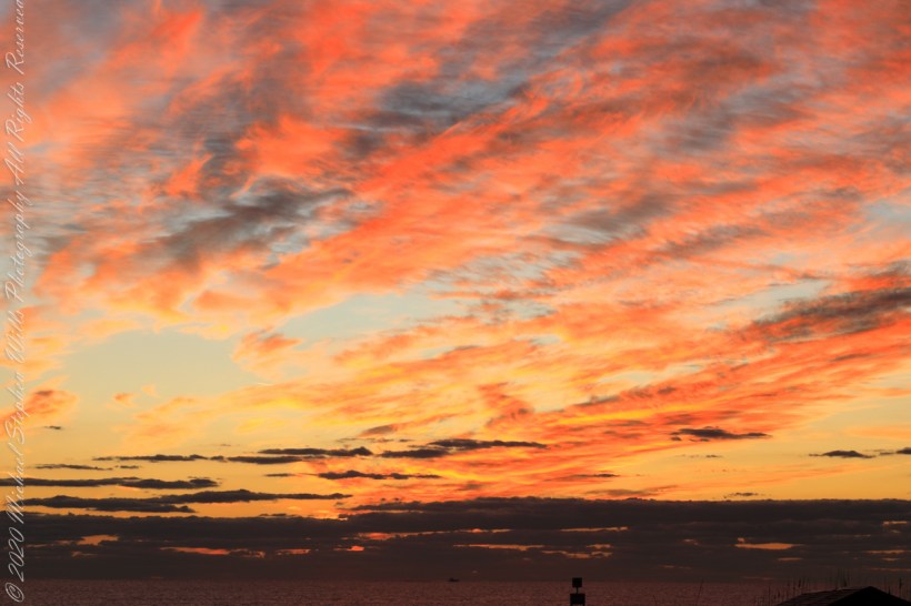
Admittedly, I over-planned the Ireland trip. For every day possible the venues were pre-booked and paid. In theory planning provides more flexibility when life interrupts.
For the Inishmore planning, a perfect day, for me, was tooling around on a bicycle stopping where we pleased with welcome exercise in between. That was unrealistic, the day worked out otherwise.
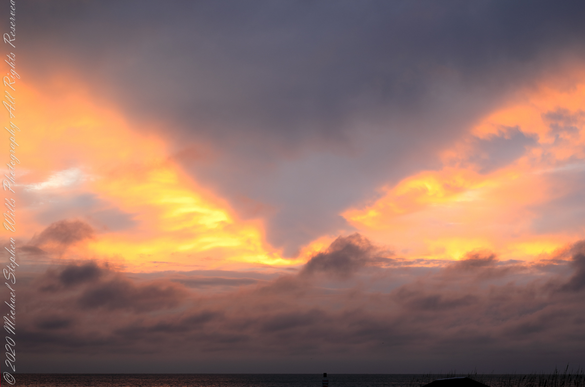
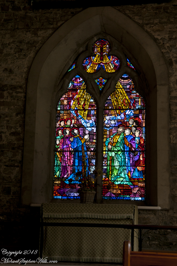
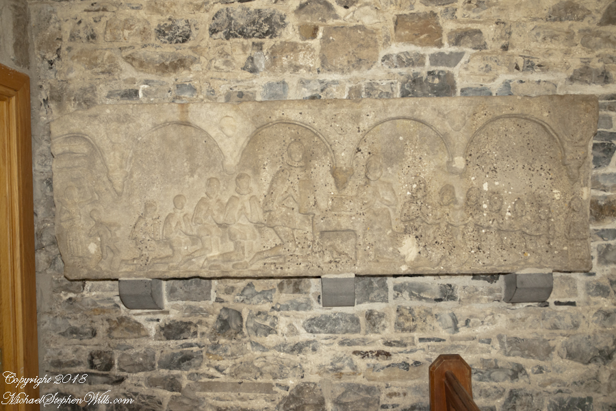
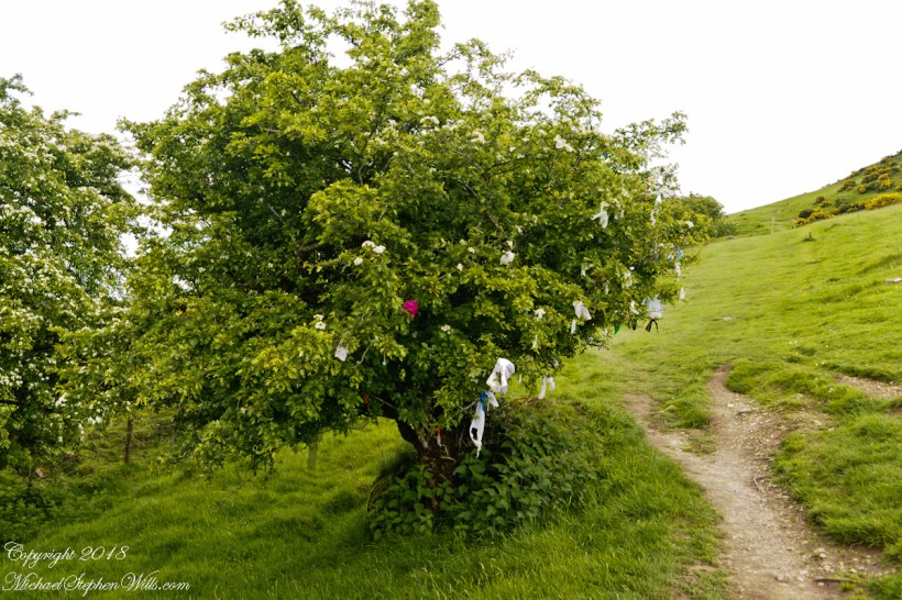
Click the link for my Getty IStock photography of the Aran Islands
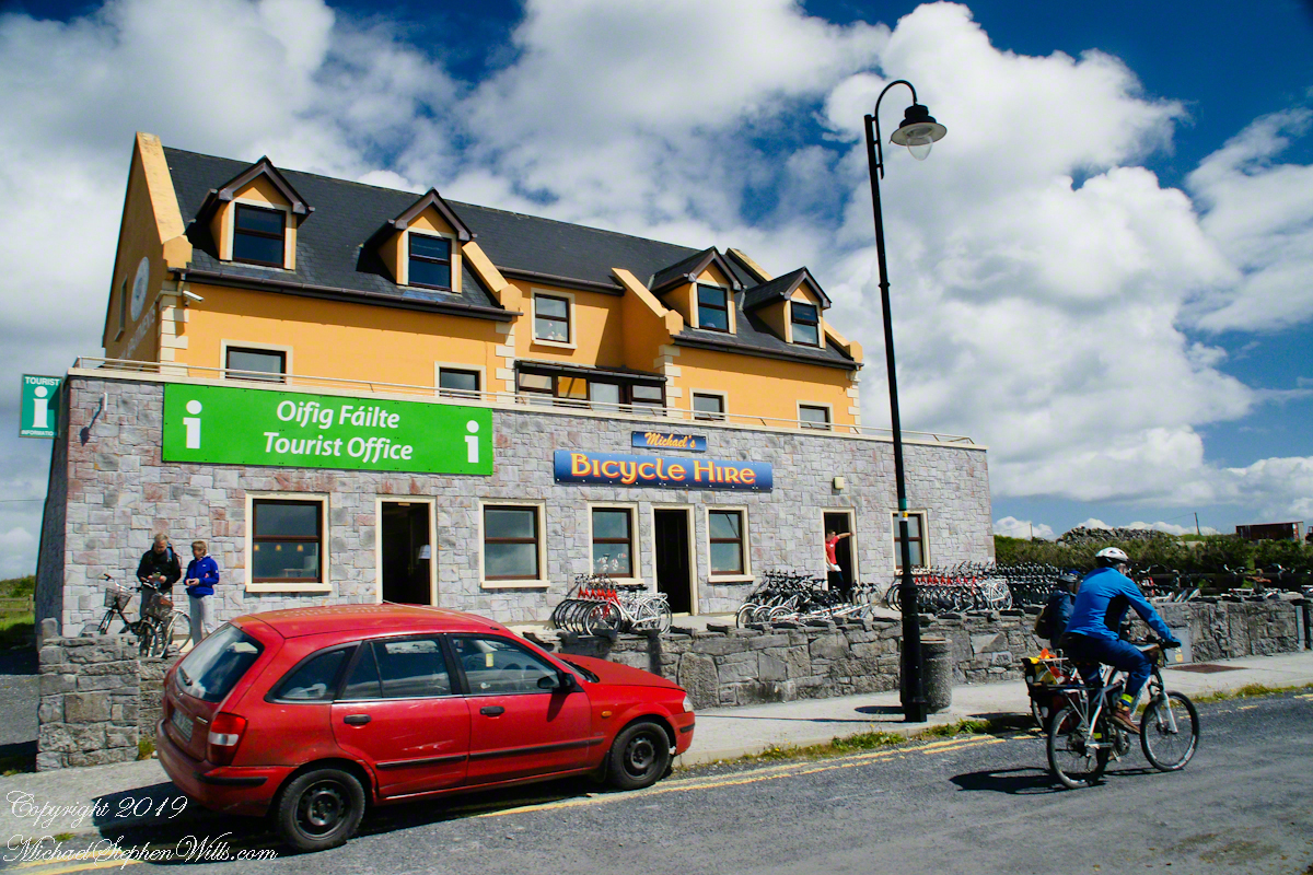
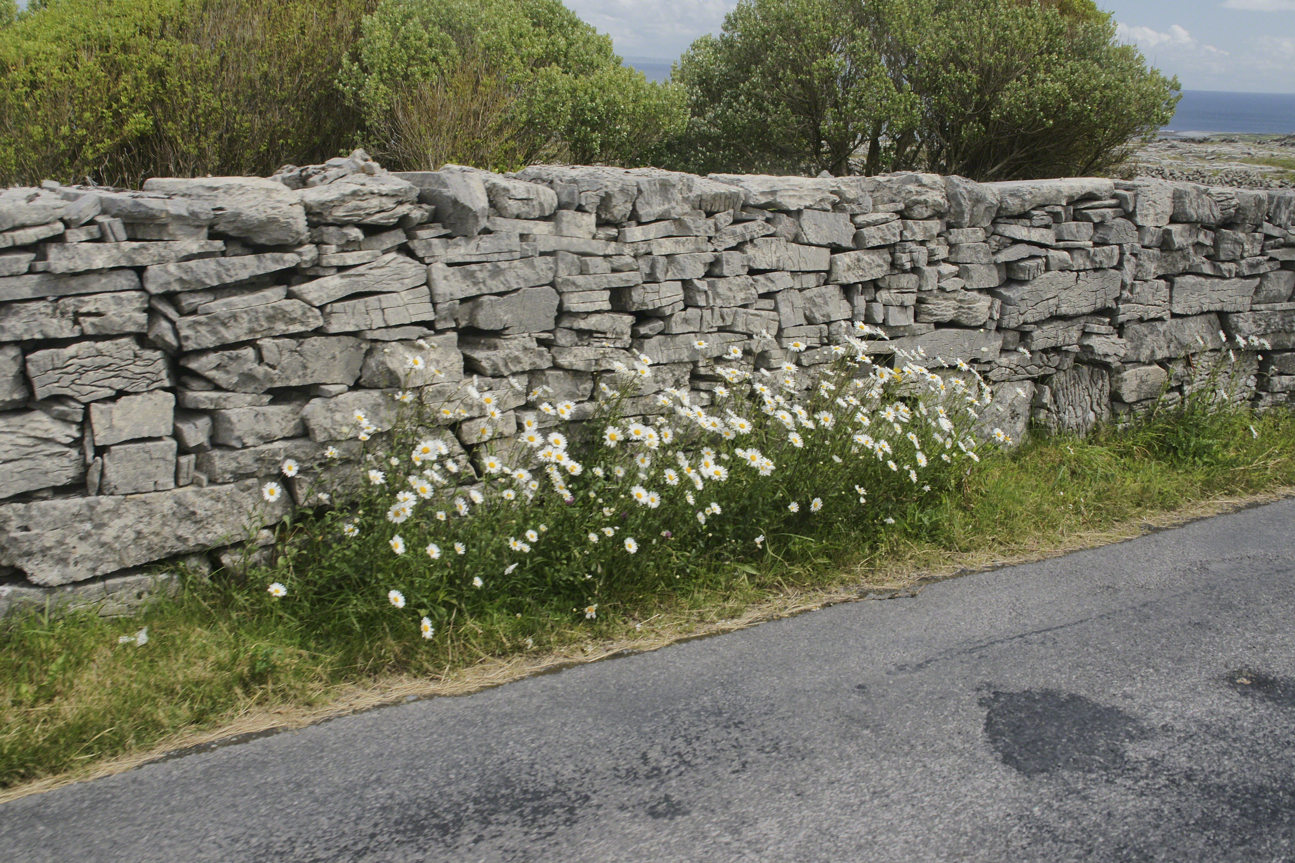
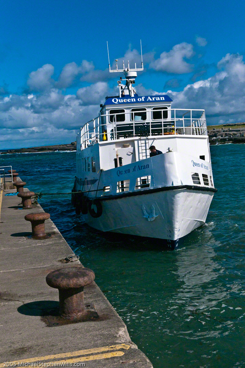
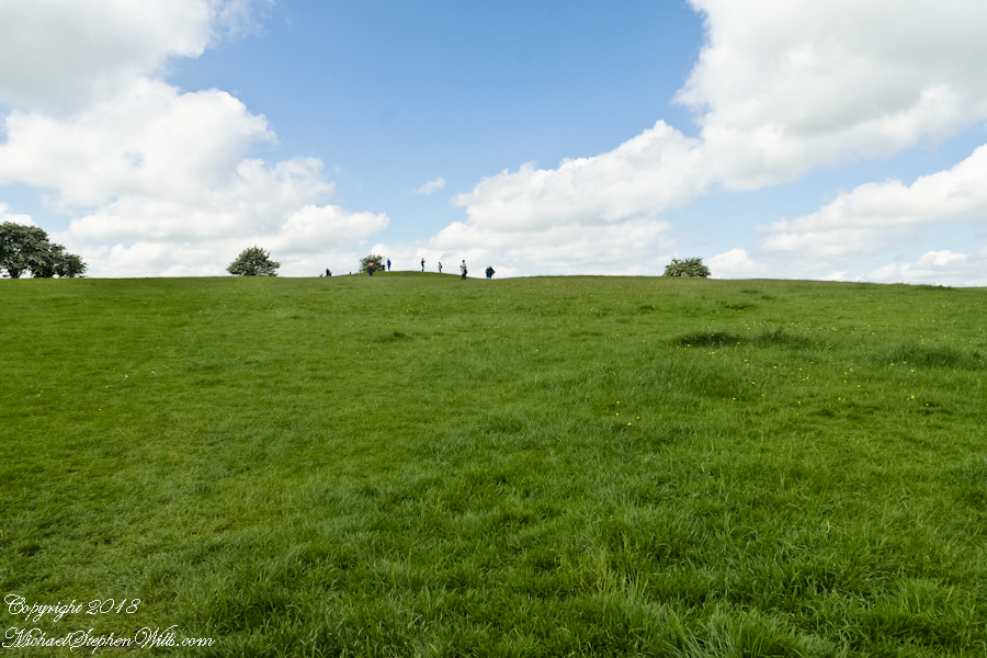
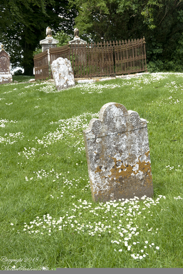
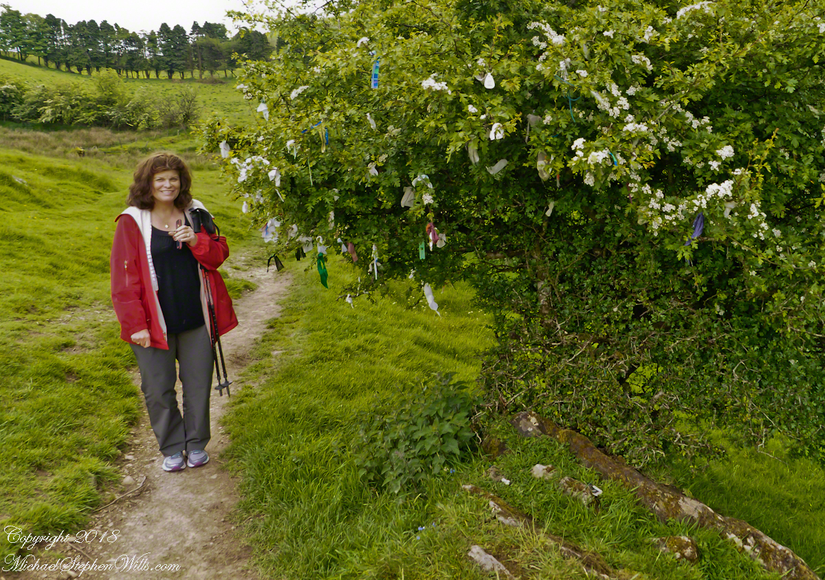
Upon disembarking from Queen of Aran, our ferry out of Doolin, onto the Kilronan quay we walked toward the bicycle rental and Pam refused to bicycle. Her objections were many, safety, impending rain, time. She did have a point about time, the ferry leaves at a set time leaving errant tourists to fend for themselves. We were unused to cycling, still Dun Aonghasa is just over 5 miles from Kilronan, less than an hour round trip. With our starting time of 11:30 am there was 3.5 hours slack for returning to the quay before the 4 pm departure. Plenty of time for wandering the ruins and stopping along the way.
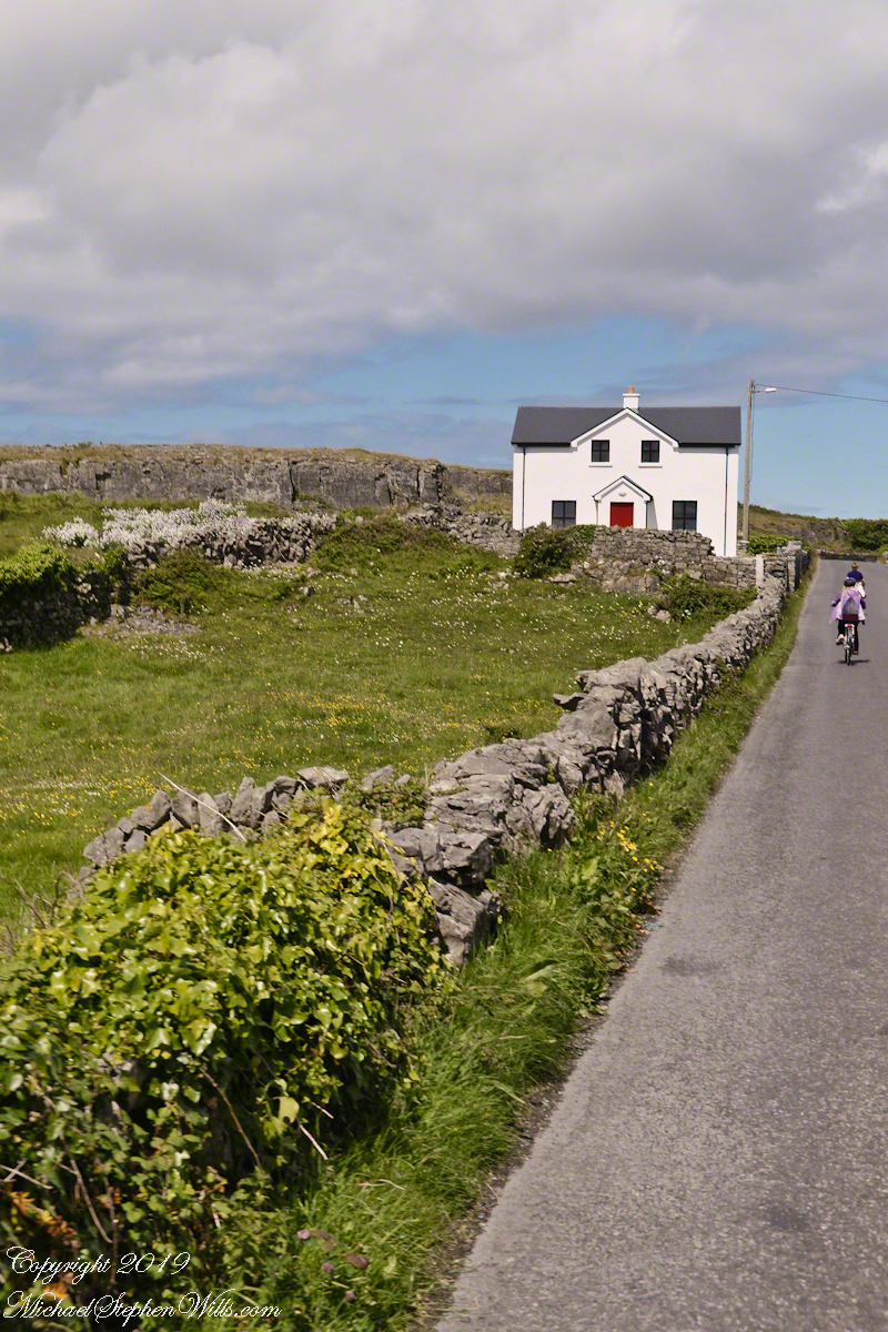
We followed Pam’s advice. Still there were the many bicyclists. Perched on our horse drawn carriage, on the uphill runs, each bicyclist we passed was proof positive to Pam of the wisdom of our choice. I was silently envious of their freedom and overlooked the many mini-buses on the narrow road.
When the day comes to mind, not often, I am left with the guilty feeling of not stopping into the bicycle rental office to cancel the reservation. An email was waiting for me the next day, asking where we were. Thus, the title of this post, “Stiffed.”
Pam’s Response to this post.
Pam’s reasons for not wanting to ride a bicycle around Inishmore:
“I hadn’t been on a bike for approximately 20 years. However, if it wasn’t going to rain (it did), if the narrow road was larger, if there weren’t any minibuses loaded to the gills or horse traps sharing the same single lane, I would have considered it. Sitting back and enjoying the beautiful view on our private horse trap and listening to our very knowledgeable tour guide/driver was the highlight of this adventure for me. I am sorry you felt like you didn’t have a choice.”
Pam’s correction of my statement about her being concerned about time:
“Time wasn’t a factor in my decision making. I also didn’t have a problem with you biking but there was no way I was going to do that.”