Dappled Sunlight

The Malloryville eskers near Freeville, New York, highlight the region’s glacial history and contribute significantly to biodiversity and local ecology.

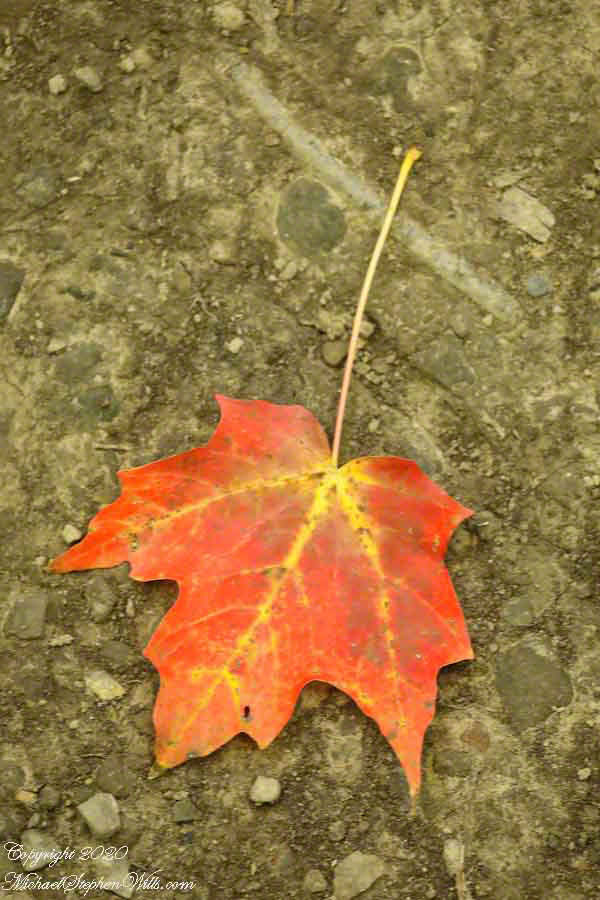
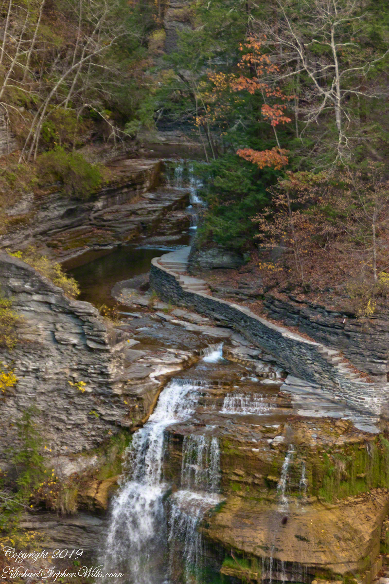
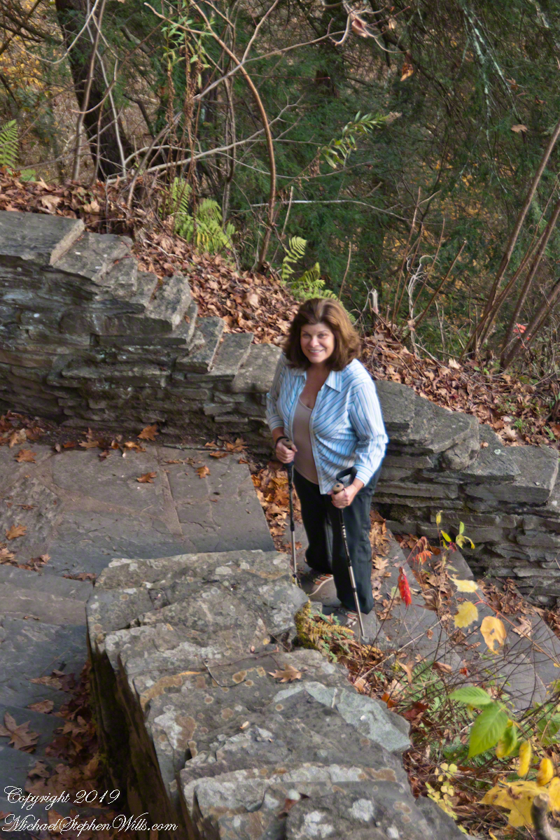
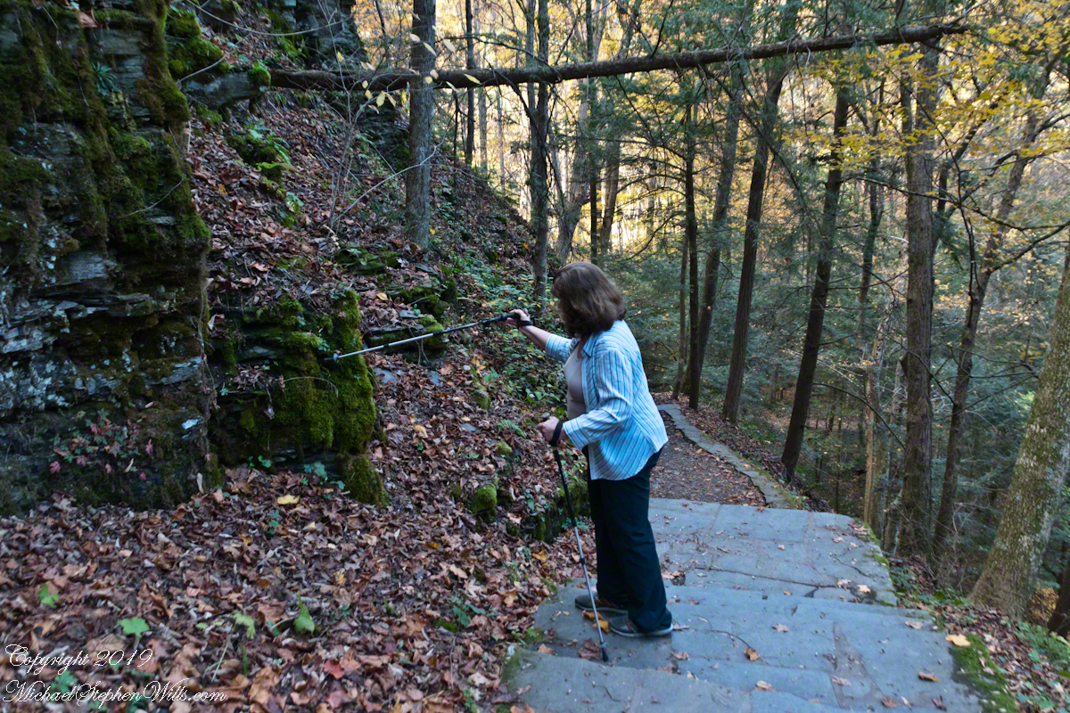
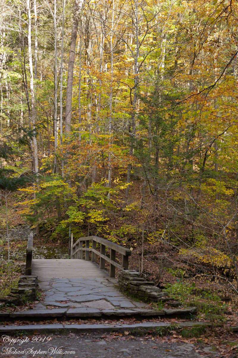
Walking here, I enjoy telling the grandchildren of the immense, mile-high ice sheet that once covered this land 10,000 years ago, creating these hills and hollows.

Click Me for another Malloryville post, “Formed By Water.”

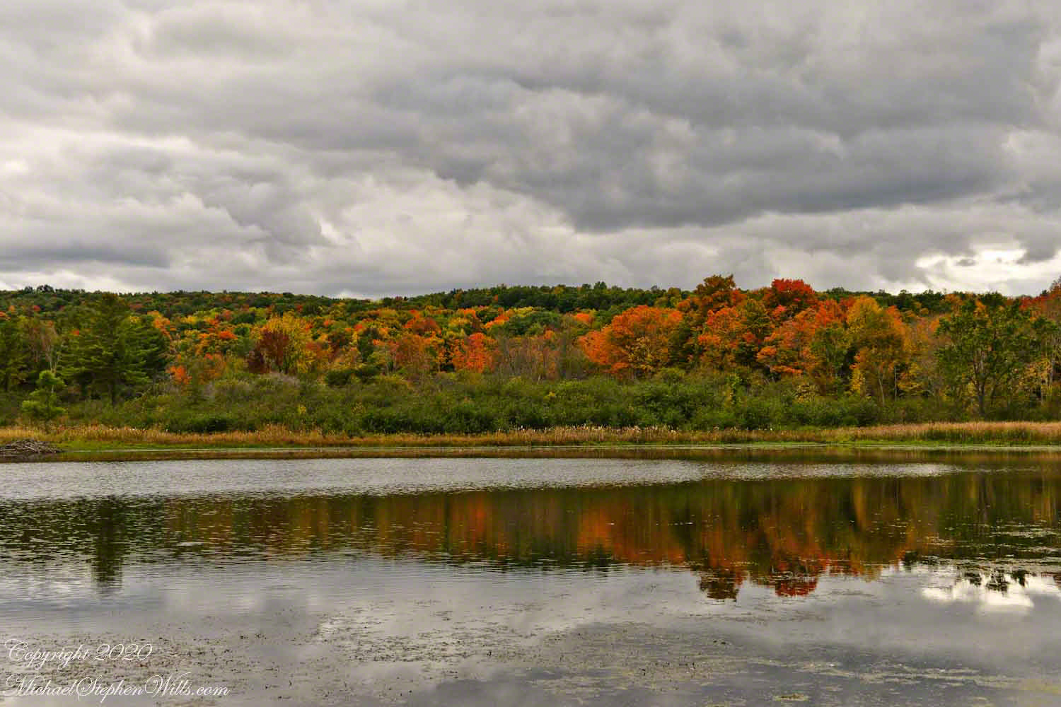
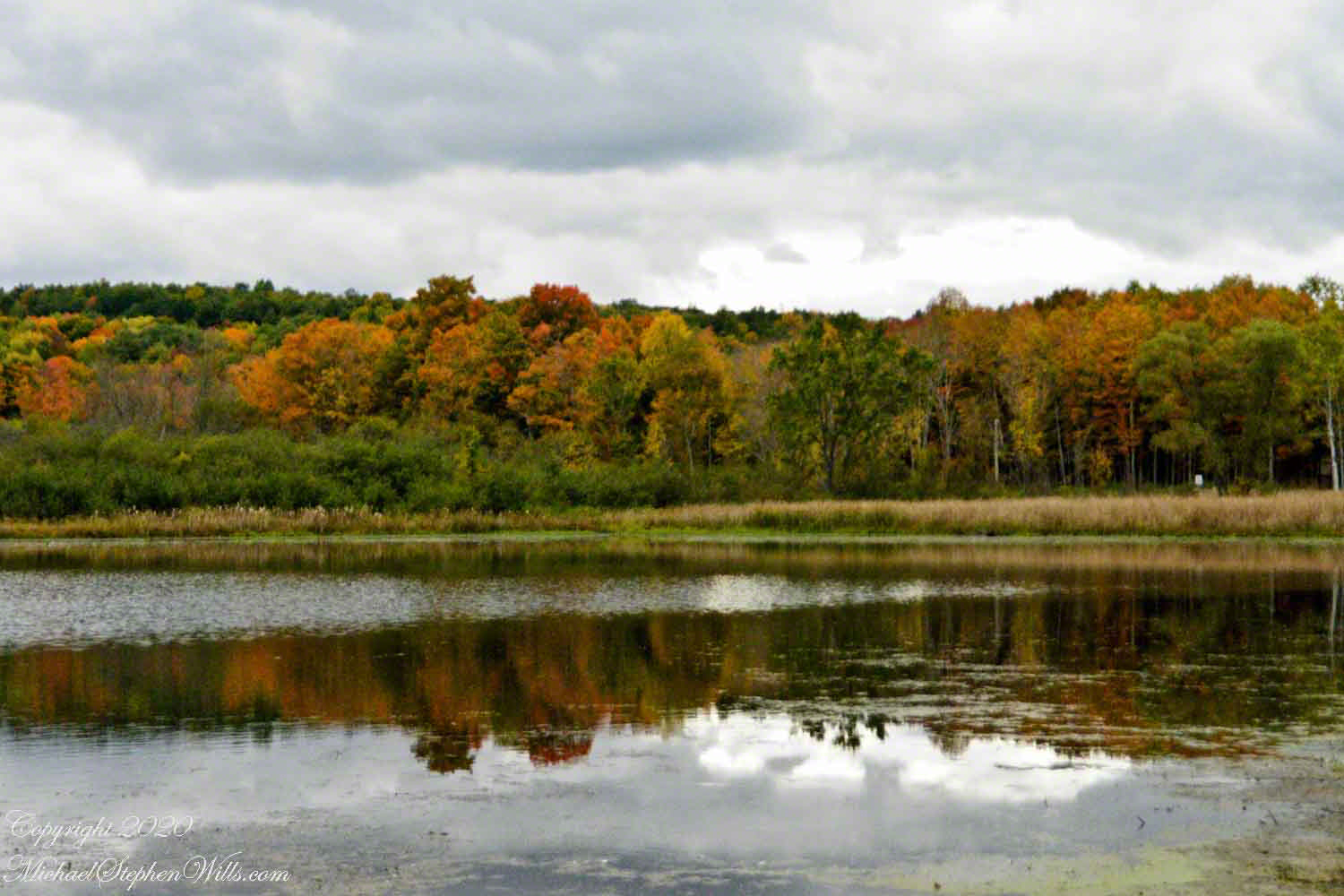
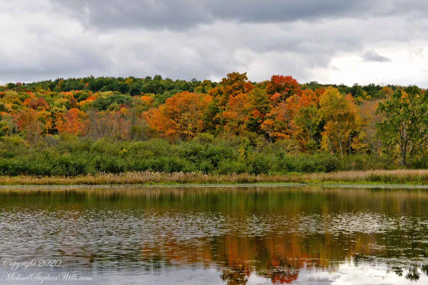
Eskers are geological features that tell a rich tale of the glacial history of an area. In the landscape near Freeville, New York, the eskers of Malloryville stand as prominent reminders of the last Ice Age and the profound effects glaciers have had on the North American terrain. These elongated ridges, composed primarily of sand and gravel, not only offer a visual spectacle but also provide crucial insights into the glacial processes that shaped the region.

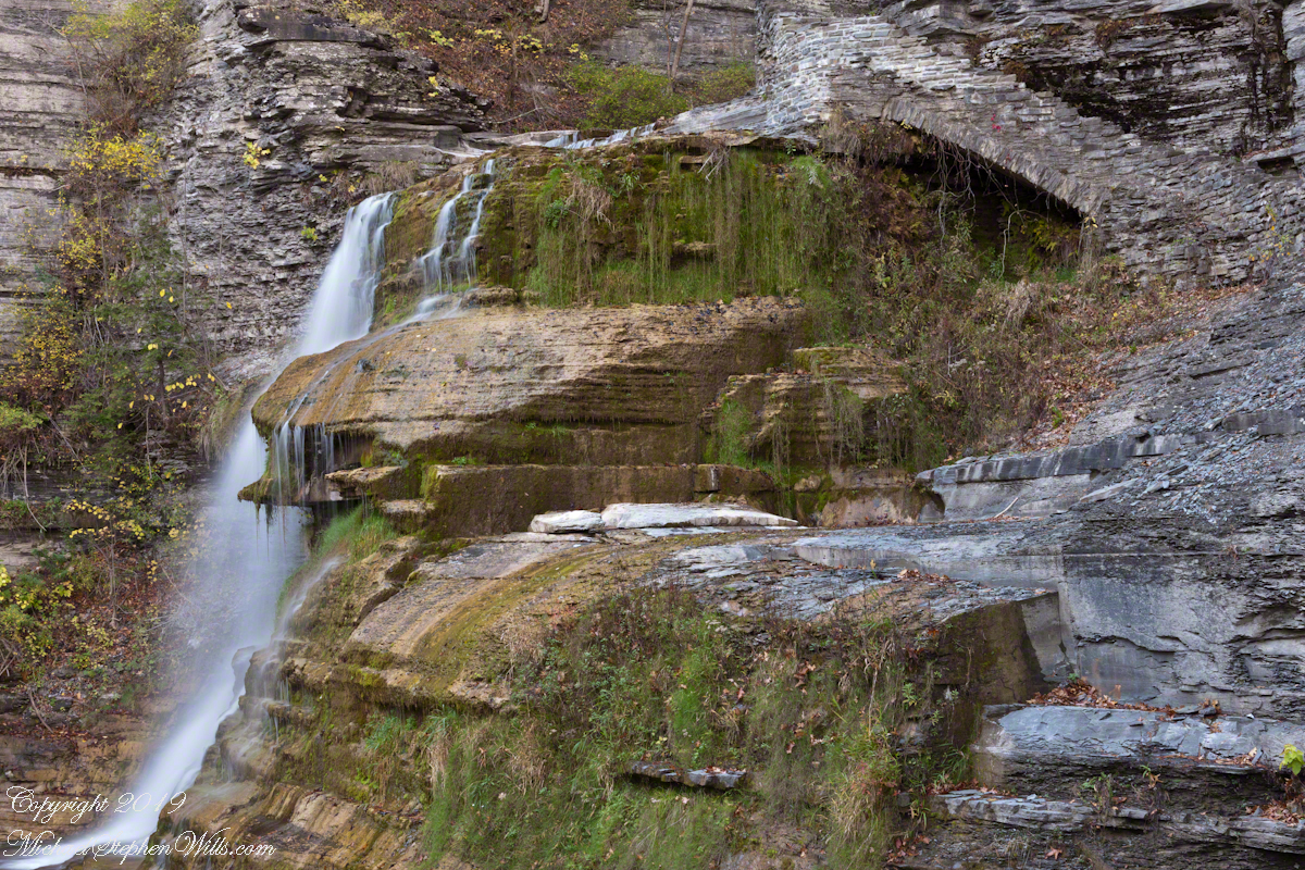
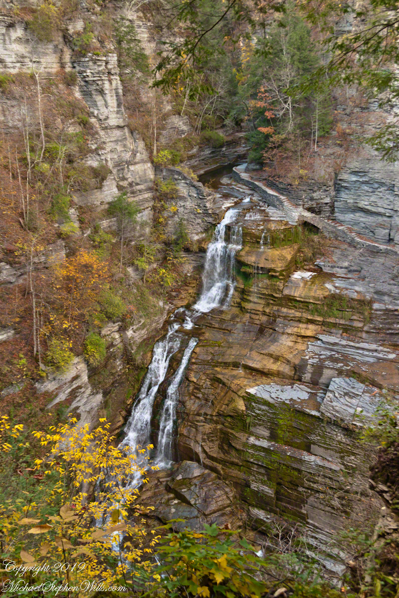
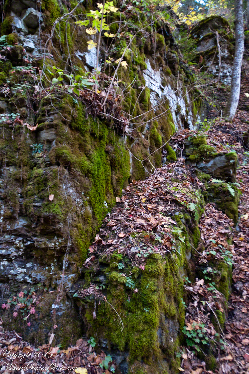
Eskers are formed by the deposition of sediment from meltwater rivers flowing on the surface of or within glaciers. As these glaciers recede, the sediment accumulates in the paths previously carved by the meltwater streams, eventually forming ridges. The Malloryville eskers are particularly notable for their well-preserved structure, giving geologists and enthusiasts alike a clear vision of the patterns of glacial meltwater flow from thousands of years ago.

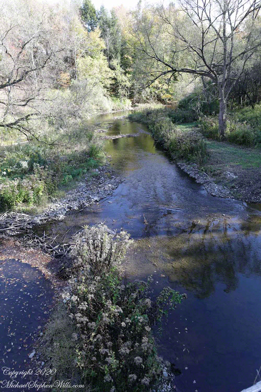
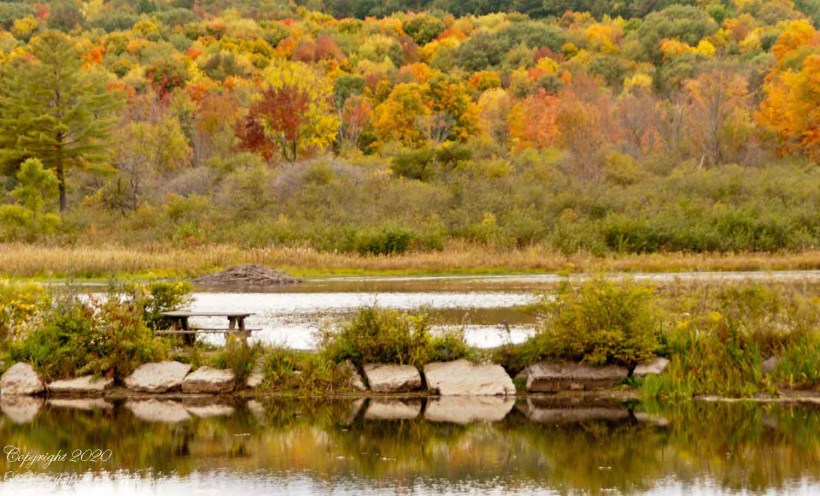
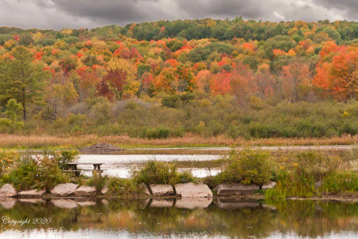
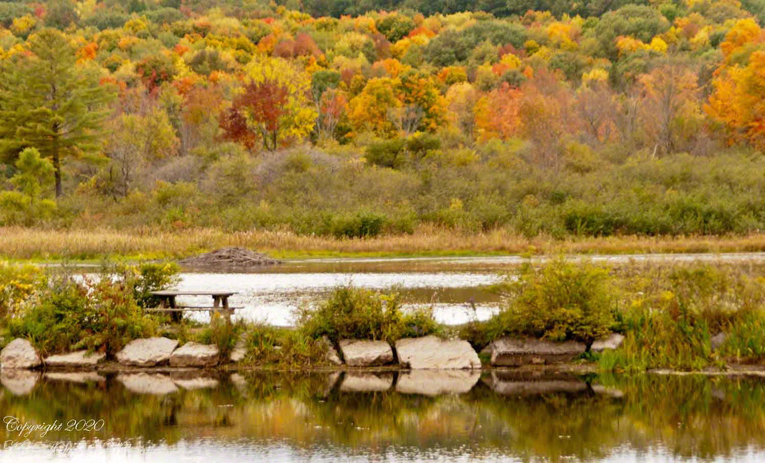
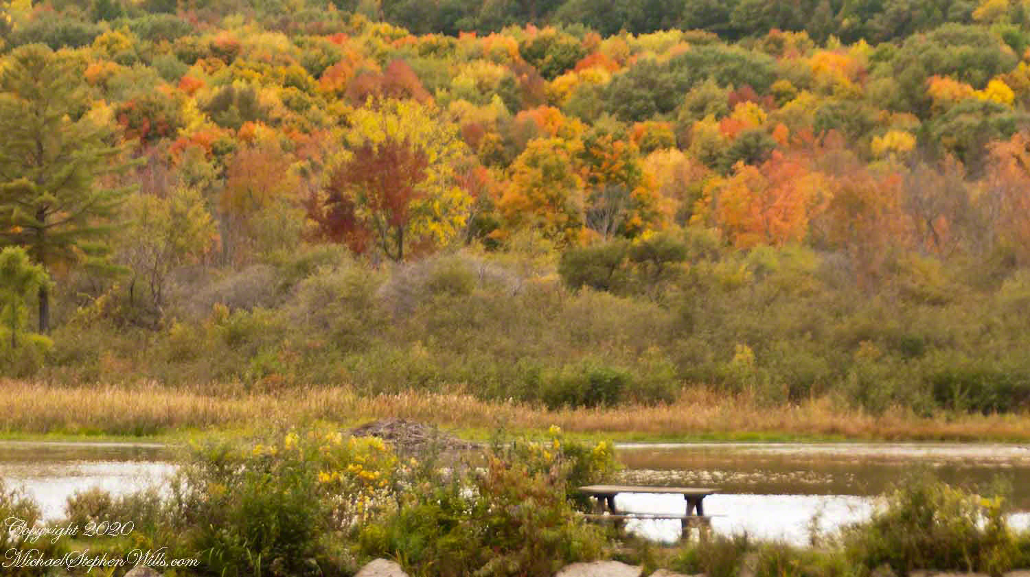
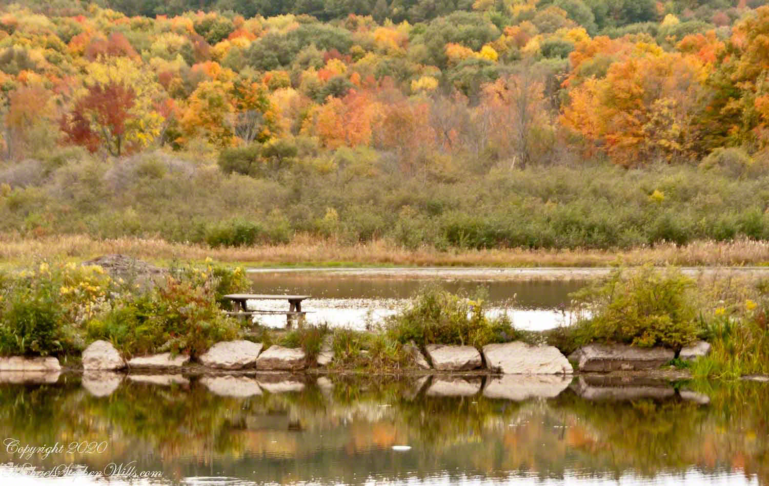
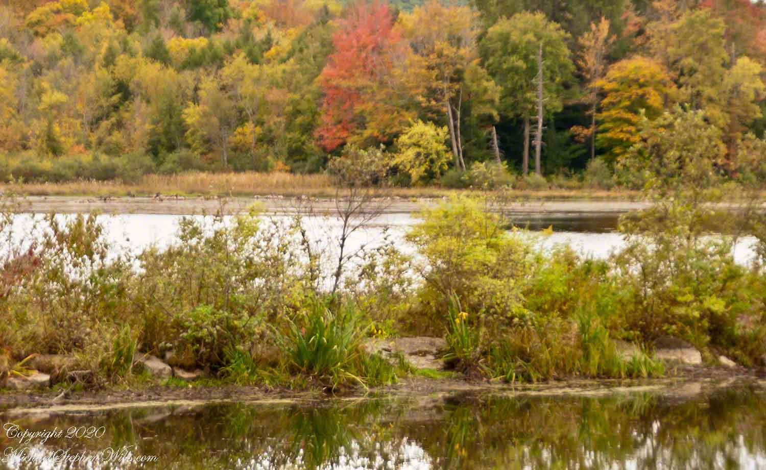
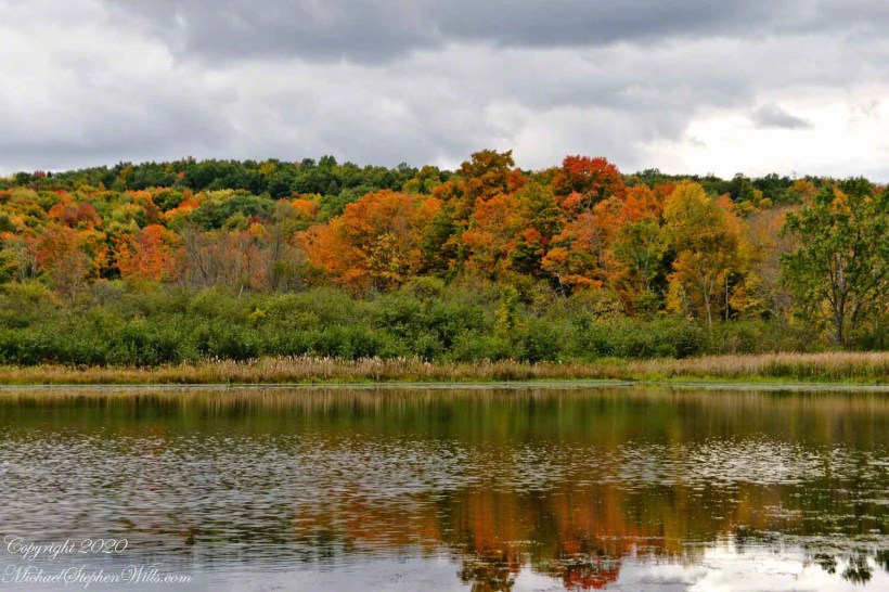
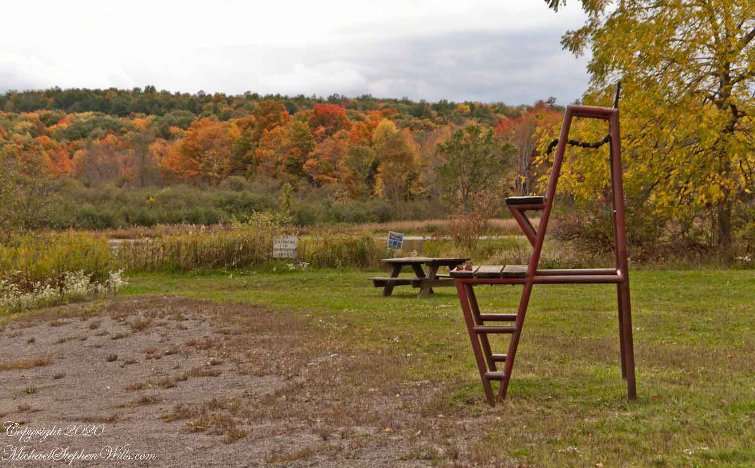
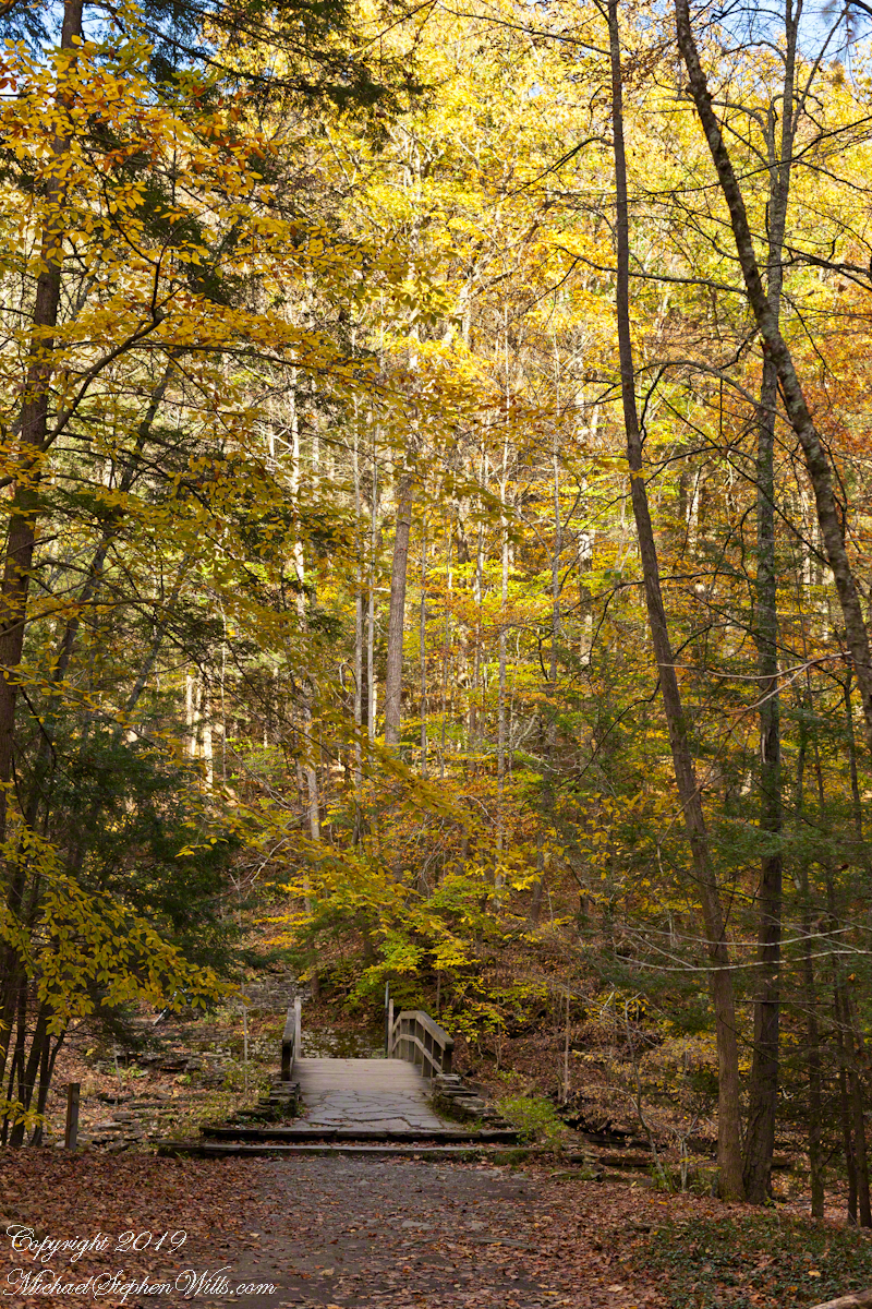
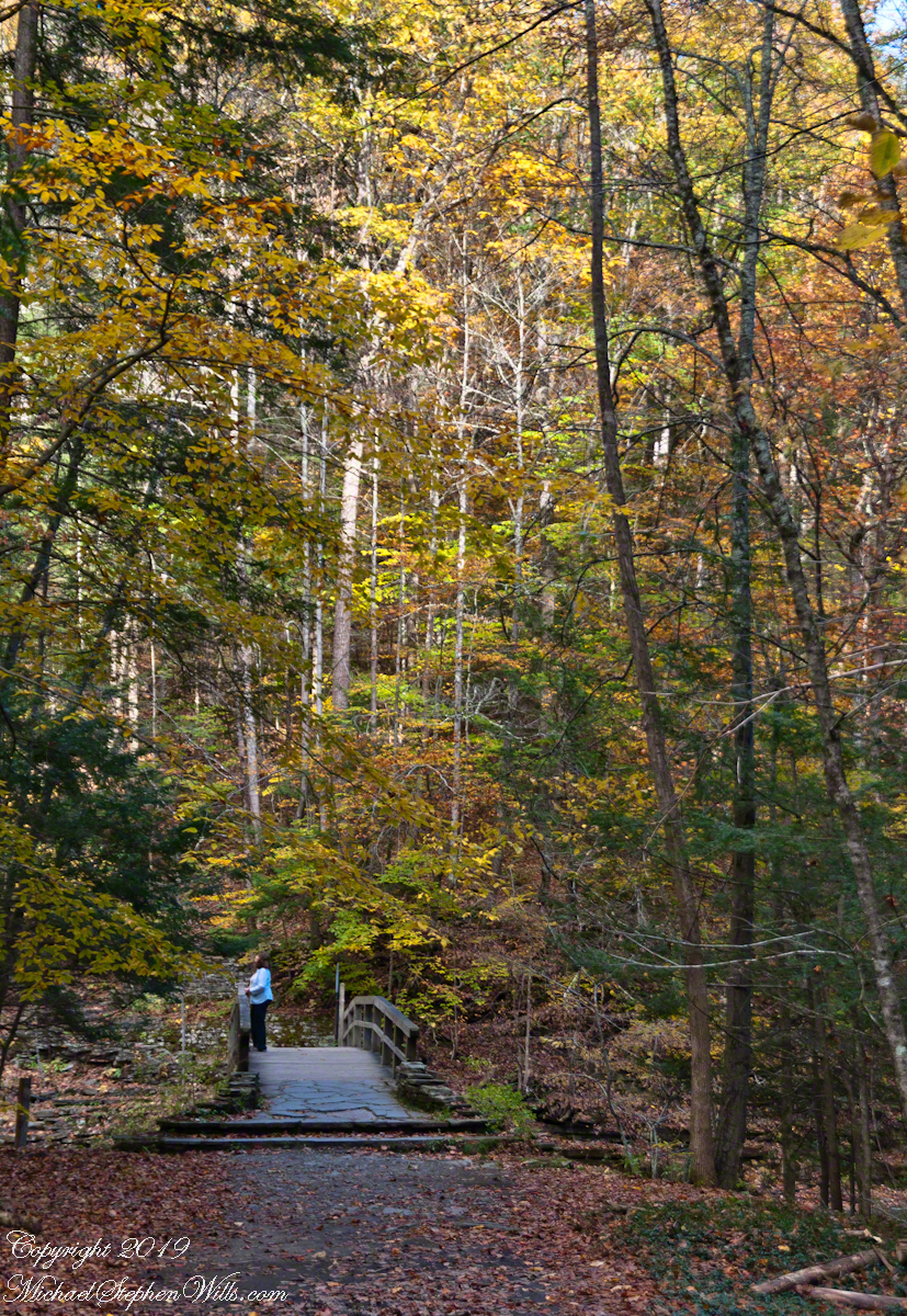
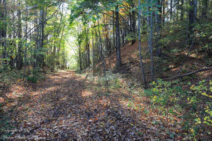
Located just a few miles from Freeville, the Malloryville eskers are an intriguing natural attraction. The topography of the area, largely shaped by the Laurentide Ice Sheet during the last glacial maximum, is characterized by various glacial features, but the eskers are undeniably some of the most distinct. Their serpentine-like appearance, weaving through the landscape, immediately captures one’s attention and beckons further exploration.

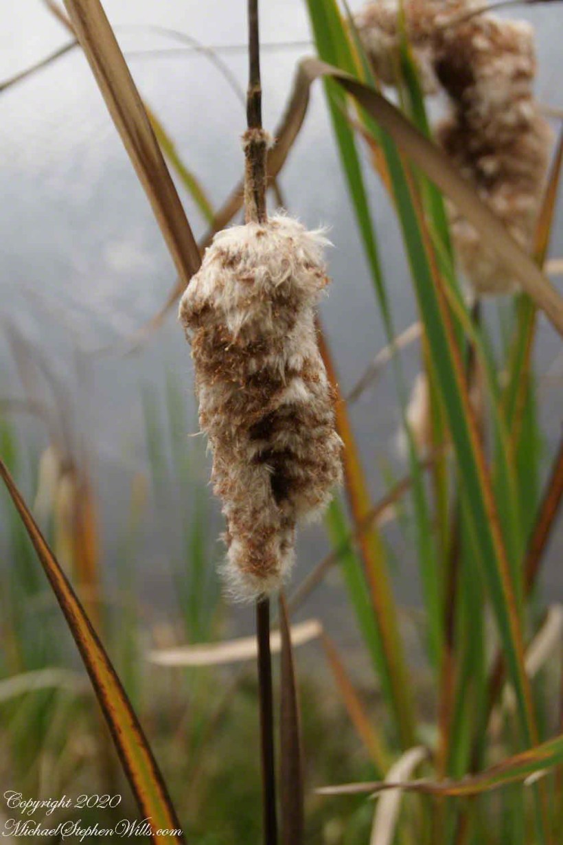
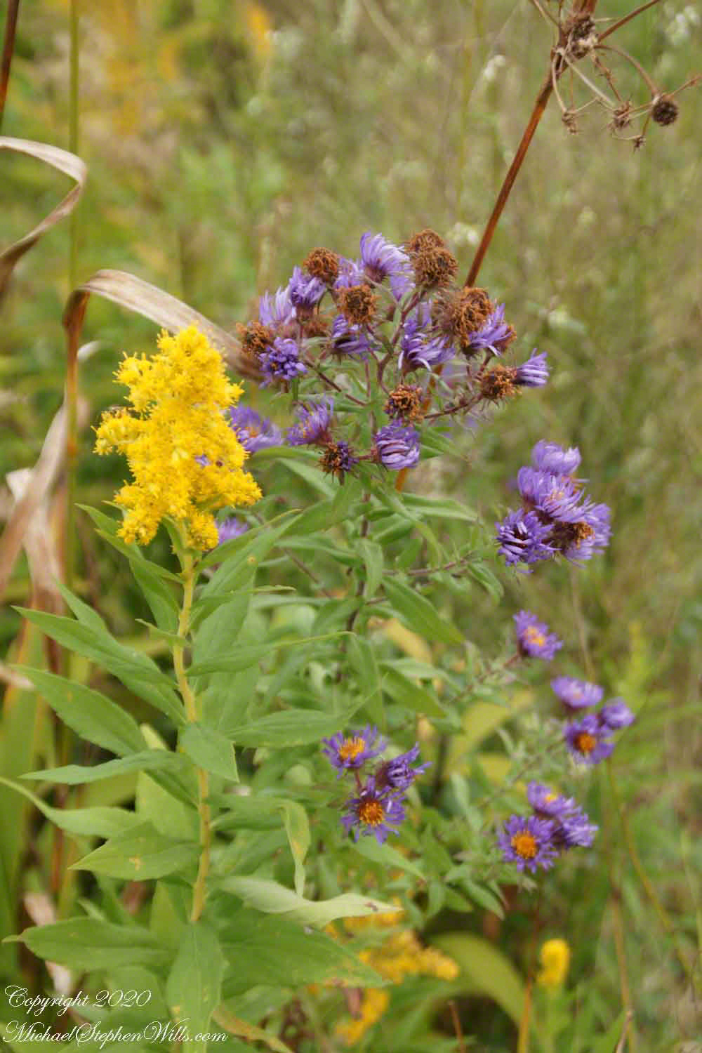
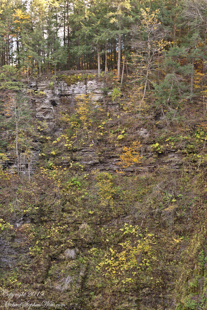
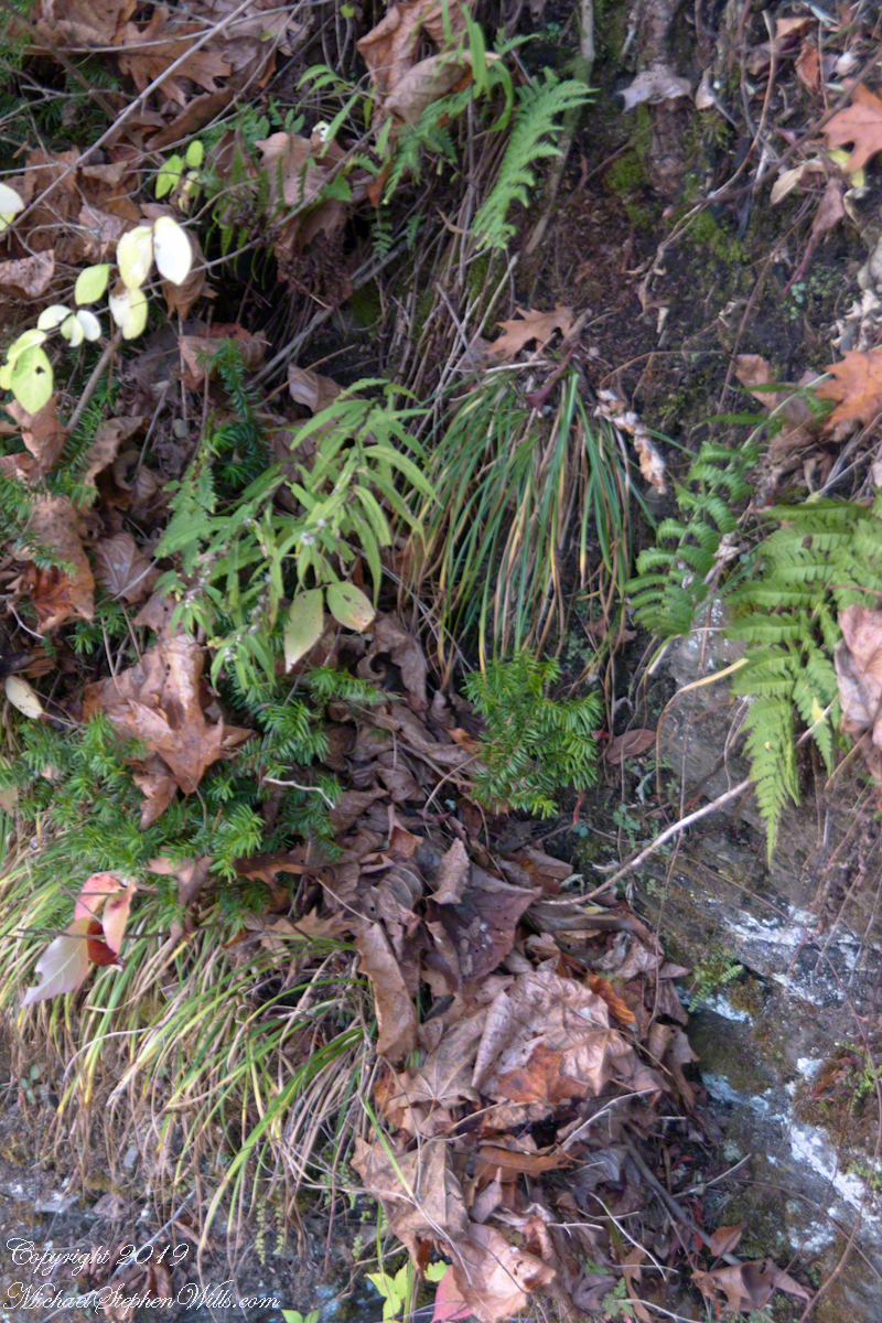
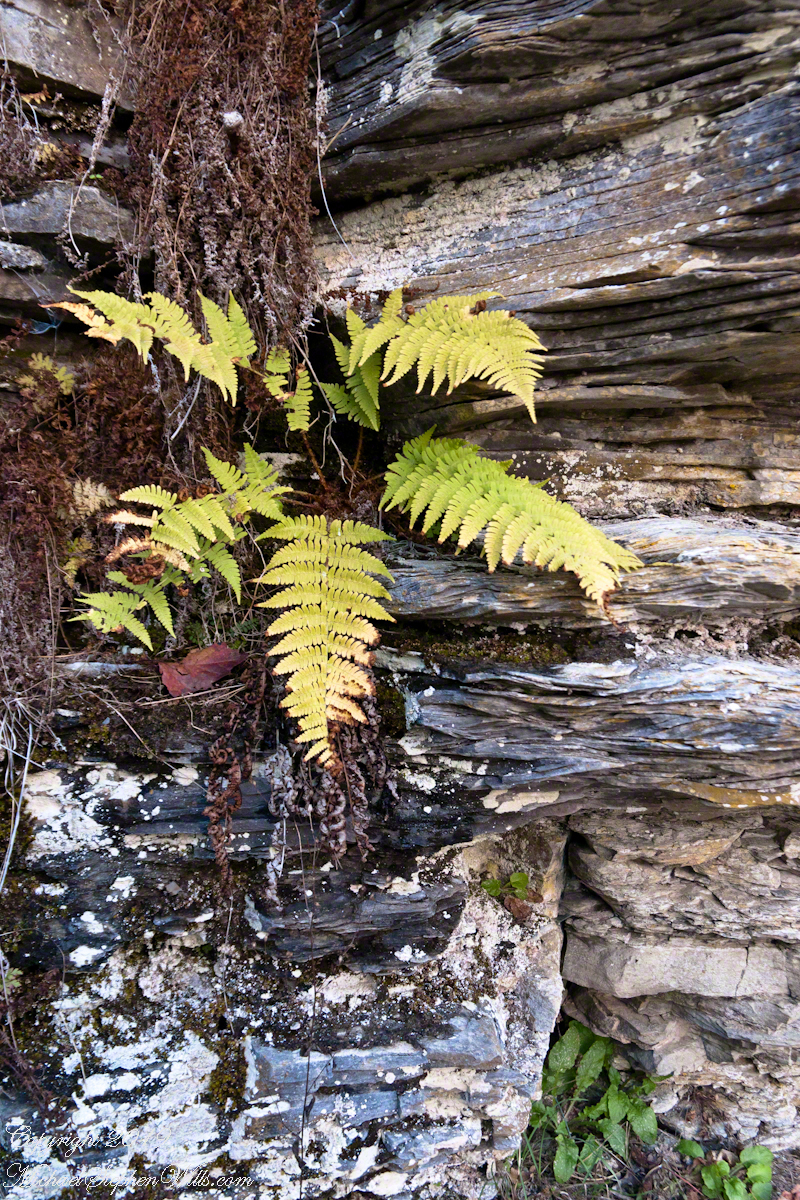
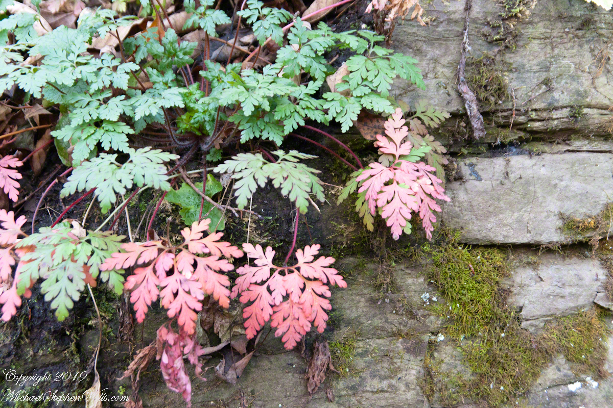
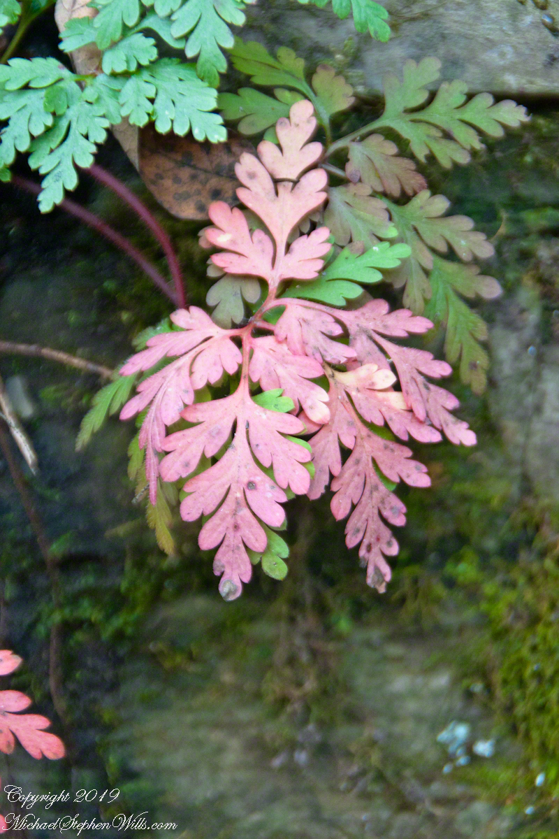
From an ecological perspective, the eskers of Malloryville contribute to the area’s biodiversity. The unique microenvironments created by these ridges offer habitats that differ from the surrounding landscape. This differentiation allows for a variety of plant species to thrive, some of which are specially adapted to the well-drained soils of the eskers. Additionally, these ridges act as corridors for wildlife, facilitating movement and offering vantage points for species like deer and birds of prey.

Historically, the eskers near Freeville have also had an impact on human activity. Native American communities, recognizing the strategic advantage of these high grounds, are known to have used them as pathways or even settlement sites. In more recent history, the gravel and sand composition of the eskers have made them targets for mining activities. While this has led to the alteration or destruction of some sections, it has also highlighted the importance of preserving these unique geological features for future generations.

Efforts to study and preserve the Malloryville eskers have grown in recent years. Local educational institutions, in collaboration with geological societies, have undertaken detailed studies to understand the formation and significance of these features better. Such initiatives not only contribute to the scientific understanding of glacial processes but also raise awareness about the importance of conserving unique geological formations. Given the potential impacts of climate change on glacial landscapes worldwide, the eskers serve as a poignant reminder of the dynamic nature of our planet and the traces left behind by the ebb and flow of ice ages.

In conclusion, the eskers of Malloryville near Freeville, New York, stand as testaments to the glacial history of the region. These winding ridges, with their intricate patterns and rich ecological contributions, weave a story of natural processes that have spanned millennia. They remind us of the ever-changing nature of our planet and underscore the importance of understanding and preserving its geological wonders. Whether one views them with the eyes of a scientist, historian, or nature enthusiast, the Malloryville eskers offer a captivating glimpse into the ancient forces that have shaped the world around us.

Copyright 2020 Michael Stephen Wills All Rights Reserved

Coming and Going

beneath the bridge

Standing on a stream spanning bridge it is fun to drop a stick or leaf, watch the progress, disappearing beneath the bridge to emerge and continue riding the water downstream.

Click image for a larger version.

Click Me for another Malloryville post, “Formed By Water.”

Copyright 2023 Michael Stephen Wills All Rights Reserved

more Jennings Pond IV

Still life and stillness

I described Jennings Pond to Pam and we returned together. Here is a photographic essay from that day, one of a series.

The first image is the small concrete dam, taken from the footbridge over the pond outlet, source for Buttermilk Creek.

Copyright 2023 Michael Stephen Wills All Rights Reserved

more Jennings Pond III

Picnics on the berm

I described Jennings Pond to Pam and we returned together. Here is a photographic essay from that day, one of a series.

Copyright 2023 Michael Stephen Wills All Rights Reserved

more Jennings Pond II

A gathering autumn glory

I described Jennings Pond to Pam and we returned together. Here is a photographic essay from that day, one of a series.

Copyright 2023 Michael Stephen Wills All Rights Reserved

more Jennings Pond I

No Swimming!?

“Jennings Pond,” is a song, celebrating swimming.

Here is a photographic essay on the subject of swimming at Jennings Pond this October afternoon.

Copyright 2023 Michael Stephen Wills All Rights Reserved

Apple Harvest Abstracts

Organic, abstract, ripe apples ready for harvest on Malloryville Road in the Finger Lakes

One late afternoon in early autumn, Pam and I strolled along Malloryville Road from our old home, discovering these ripe apples ready for harvest beside a barn.

Thank You for viewing.

Click any photograph for my OnLine Gallery, “Finger Lakes Memories.”

Copyright 2023 Michael Stephen Wills All Rights Reserved

Gorge Stairway

when the elms blazed a glorious yellow.

Click any photograph to visit my Online Gallery

A staircase leading to the Fillmore Glen Gorge

on a perfect October evening

when the elms blazed a glorious yellow.

Filled with Golden Elms

Fillmore Gorge is full with slippery elms.

The constant infall of the gorge keeps these trees small.

Once a year, for a few days, all the elms turn at once. We were lucky to visit at the perfect moment.

The elms blaze yellow for a day or two, early October.

Copyright 2023 Michael Stephen Wills All Rights Reserved

Lib Slope Hickory

the largest and brightest yellow canopy on Libe Slope.

Libe Slope

Cornell University is on a west-facing hill above Cayuga lake.  Libe Slope is between the West Campus and Quadrangle / Libraries.

Besides the exercise of walking the 18 degree incline several times each day,  Cornell students and alumni remember The Slope for autumn color.

Built in 1868, McGraw Hall has the honor of having the first of Cornell’s towers. The building is built of Ithaca stone and is home to the American Studies Program, Department of History, Department of Anthropology, and Archaeology Intercollege Program. The first floor of McGraw Hall houses the McGraw Hall Museum, a collection of roughly 20,000 objects from around the globe used for teaching by the Anthropology Department.

Hickory

This is a Pignut Hickory (Carya glabra),  the largest tree  according to a 2009 Campus Tree Inventory (see link, below).

Seen from the north on a cloudy October day, this Pignut Hickory (Carya glabra) is the largest tree on the Cornell Campus, at 79 inches in diameter.

This hickory grows south of the Johnson Museum and among the autumn glories, it is the largest and brightest yellow canopy on Libe Slope.

Contrast

I remember this hickory for the contrast between the canopy and trunk, the way the clumps of yellow hang from dark boughs.  An overcast day is the best to capture this spectacle.  October 20, 2012 provided both bright sun and dark, rolling autumn clouds.  I waited on the north side, sheltered from the glare of the sky, for these perfect moments.

Leaves and Nuts

The pignut hickory is native to these Eastern United States.  It is known to favor moist slopes and this specimen has thrived on The Slope.  The ground beneath it is thick with nuts.

One week later as Hurricane Sandy approached the east coast

Just one week later, late afternoon on a sunny Friday as hurricane Sandy approached the east coast the hickory has fewer, tawny golden leaves.

Later in October the bright yellow leaves of the Libe Slope Hickory darken to a tawny gold. The Johnson Museum is in the right background.

Wonderful Flow of Limbs among Gold

Seen from the north on a cloudy October day, this Pignut Hickory (Carya glabra) is the largest tree on the Cornell Campus, at 79 inches in diameter.

References

A Photo Tour of Key Buildings at Cornell University by Allen Grove

Websites

Cornell Tree Inventory

Copyright 2023 Michael Stephen Wills All Rights Reserved

Lucifer Falls Slide Show

Autumn at Treman Park

Pam and I visited Treman for our last visit of 2017. It was a bright, warm October afternoon. Here is a slide show of our experience, the details shared in recent postings. Enjoy!!

Click photograph for a larger view. To do this from WordPress Reader, you need to first click the title of this post to open a new page.

In November the gorge is closed for the winter due to dangerous conditions under the steep, crumbling walls. Robert H. Treman New York State Park.

Copyright 2019 All Rights Reserved Michael Stephen Wills