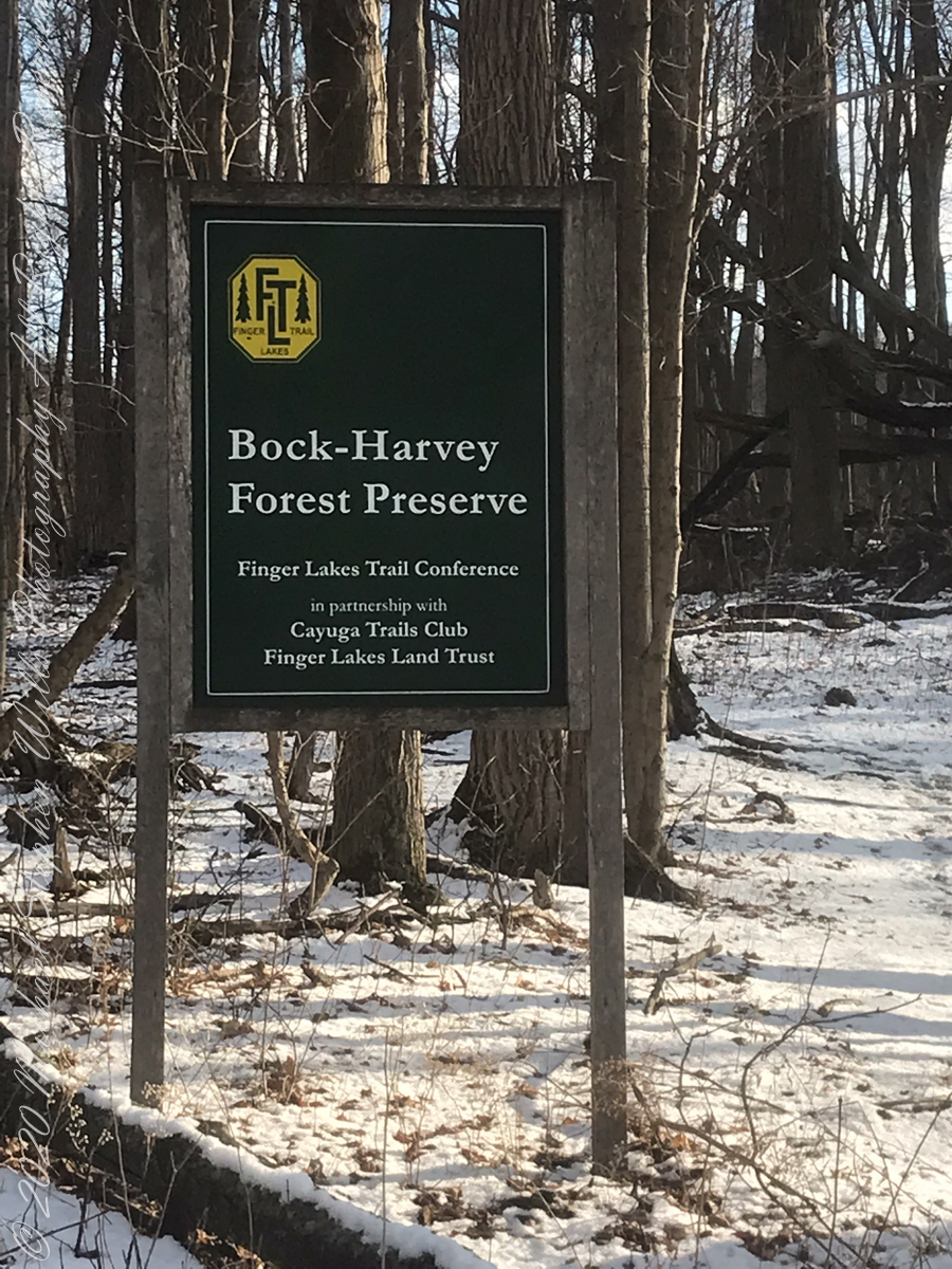
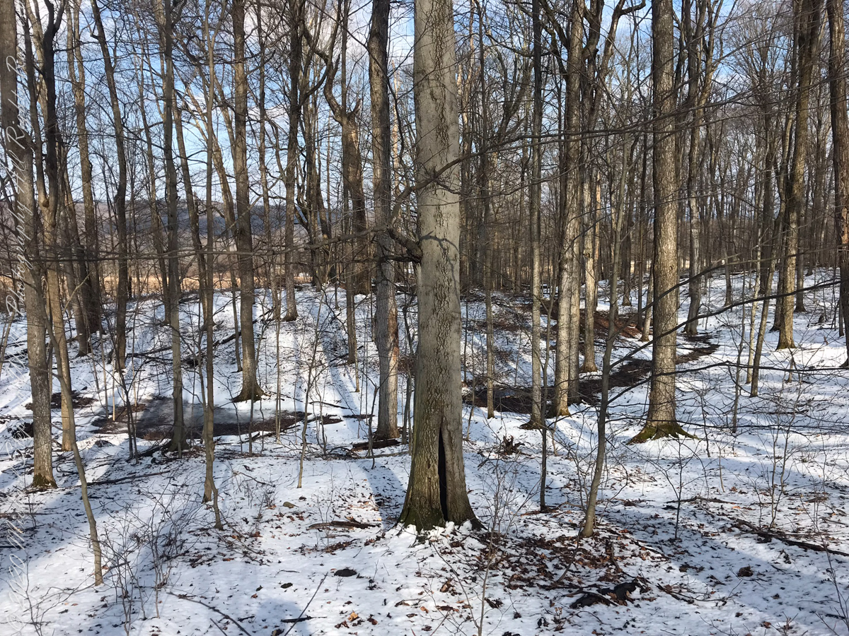
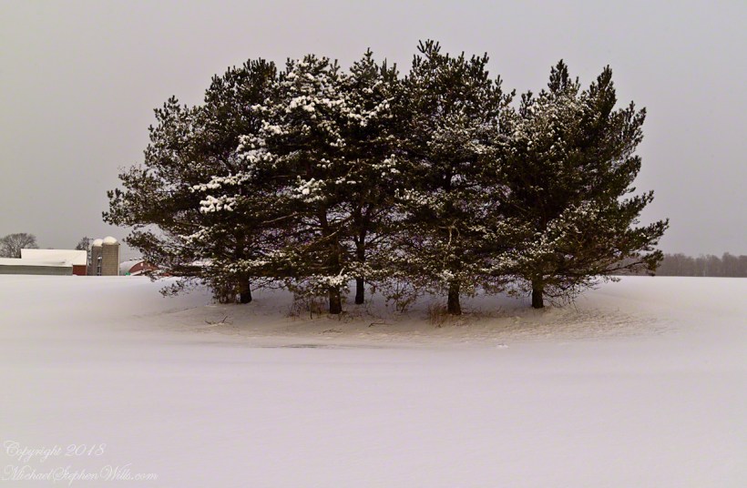
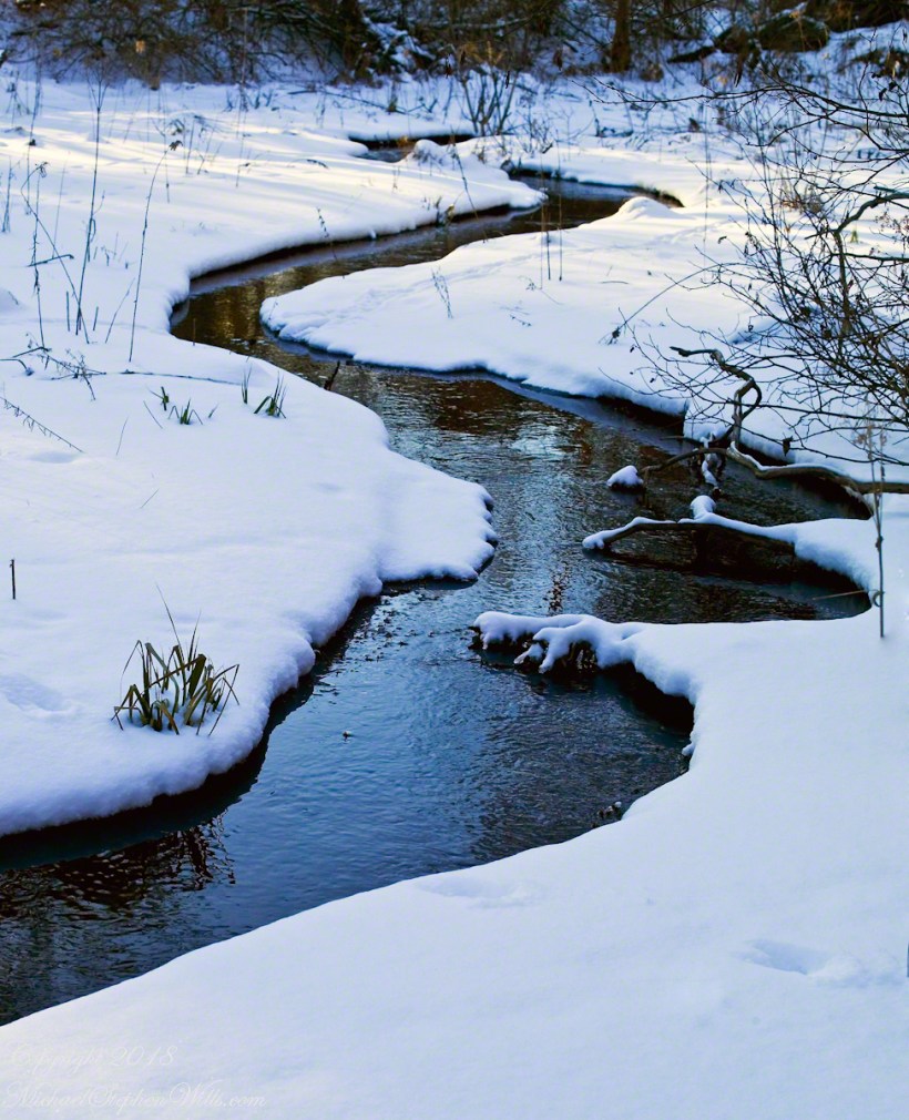
On September 14, 2013, the Bock-Harvey Forest Preserve was dedicated protecting 48 acrea of open meadow, transitional meadow, mixed hardwood forest, a special environmental protection zone and the Finger Lakes Trail. Brock-Harvey Forest Preserve, and all land as far as the eye can see from there, was part of the Military Tract of Central New York, 28 townships given classical Greek and Roman names, each township 100 lots of 600 acres each, approved by the U.S. Congress 1799. Here, the township was Ulysses, encompassing the southern end of Cayuga Lake and surrounding lands. Thus, the city of Ithaca and Hector Street winding up from the valley passing below our home.
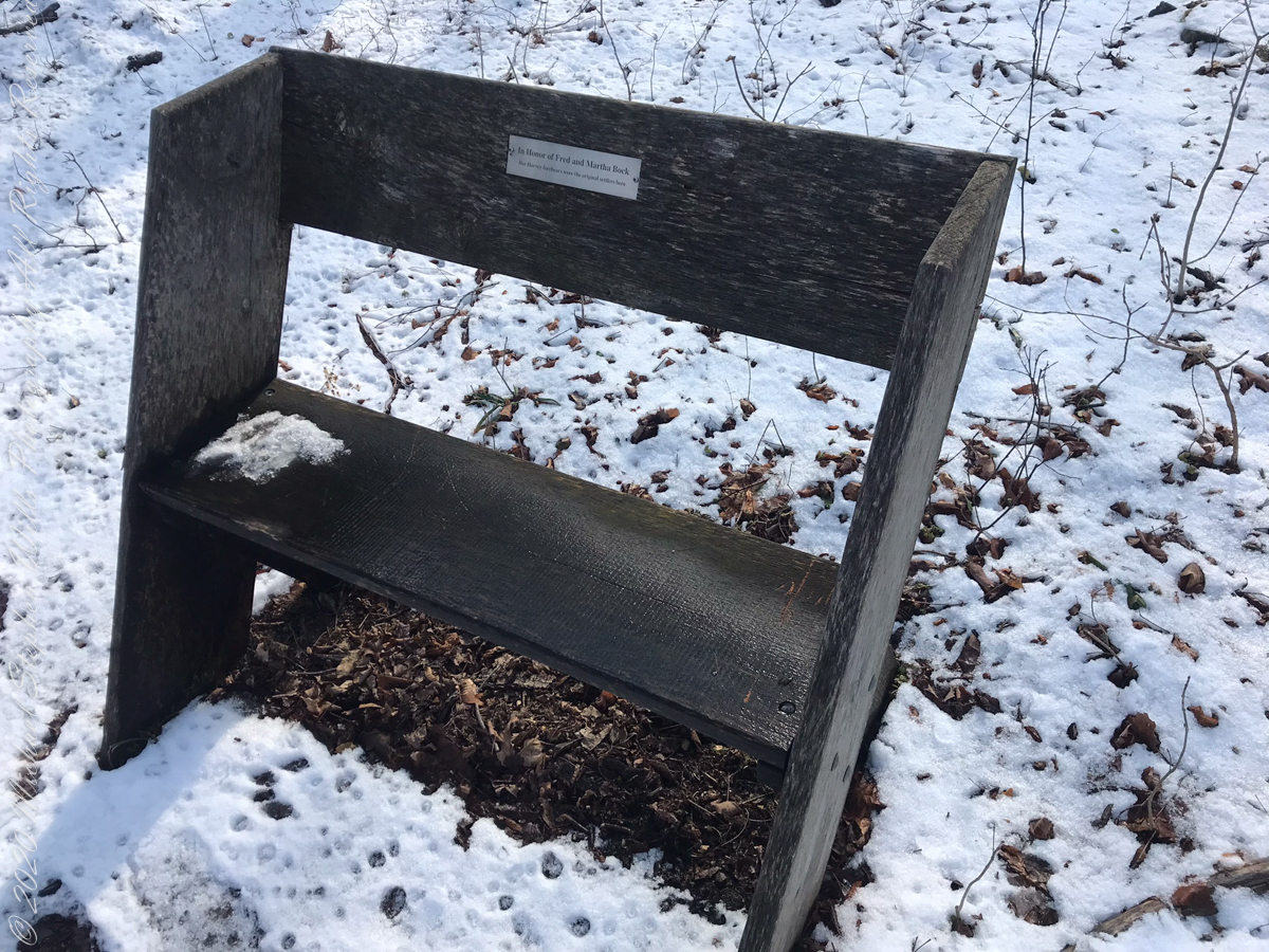
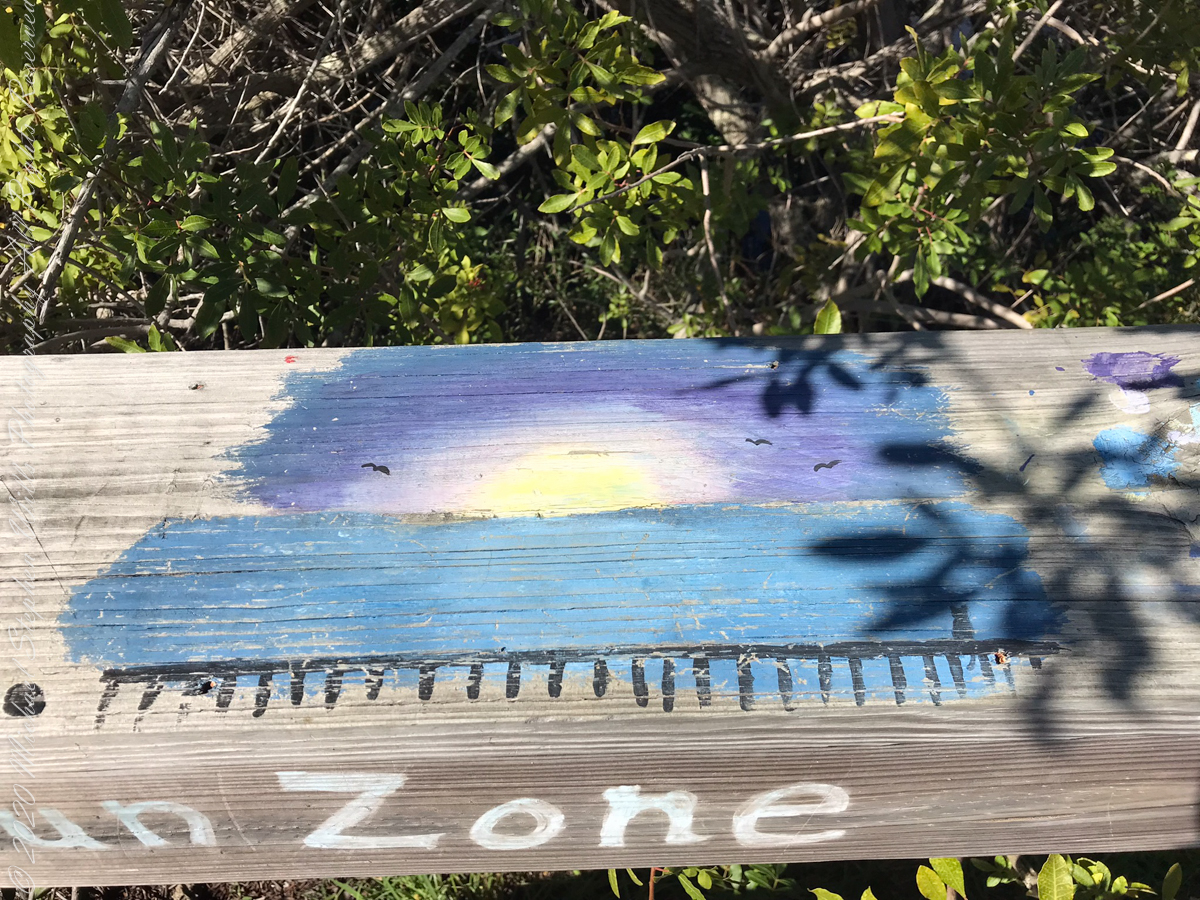
Sign on Rockwell RoadResting Place in forestGreat Information
This land and several other military tracts were purchased by Samuel Harvey. He then gave he lands to his sons including this farm to Silas Harvey, the great-great-great-great grandfather of Megan Barber who led the dedication ceremony of the forest preserve. Megan’s great-grandmother Martha Harvey married Fred Bock and lived on this land used for dairy farming for over 150 years.
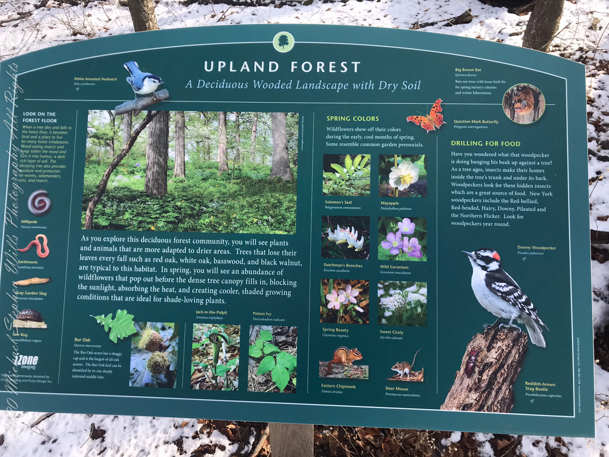
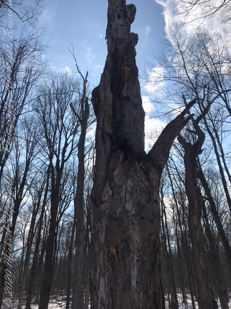
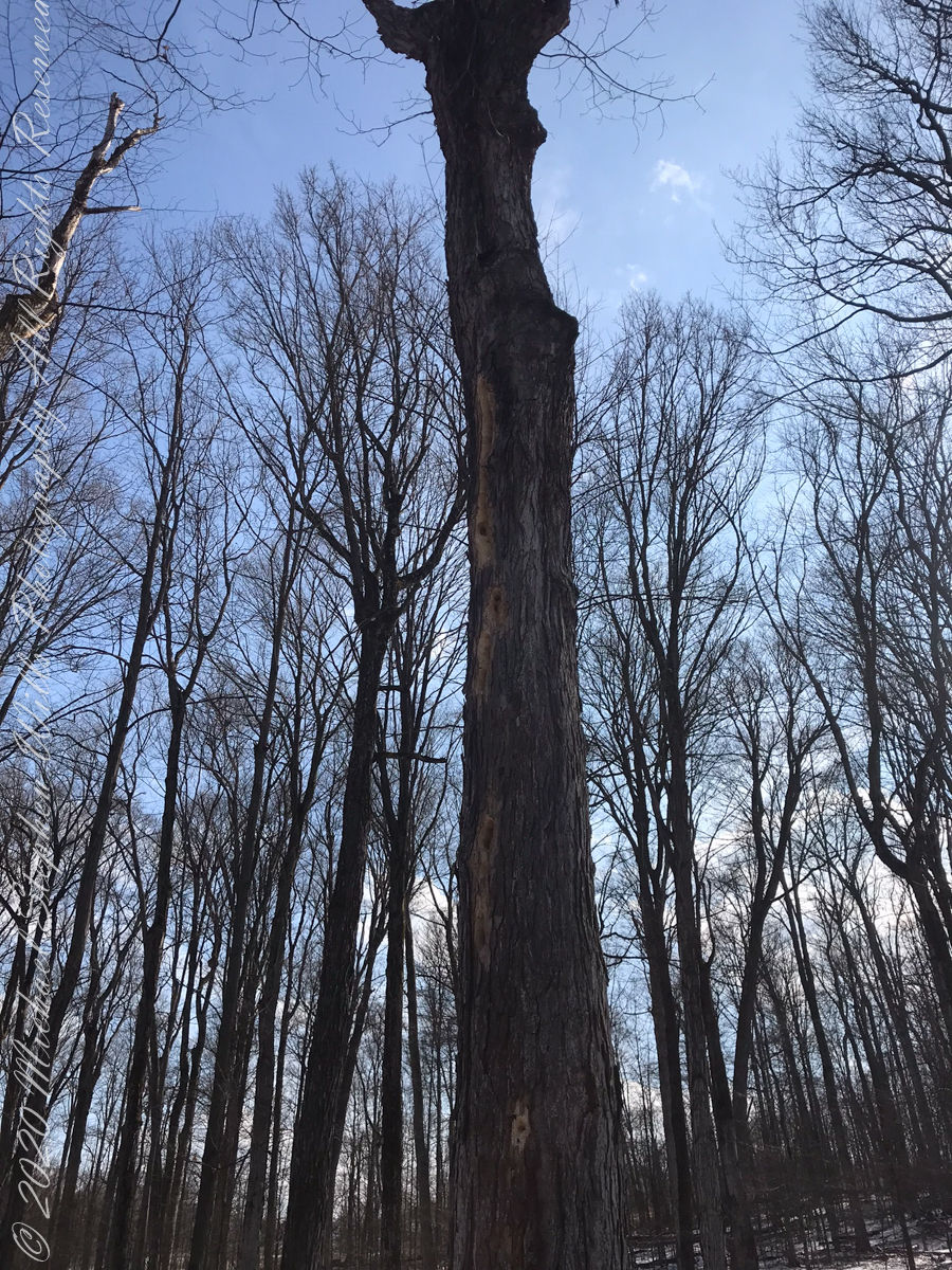
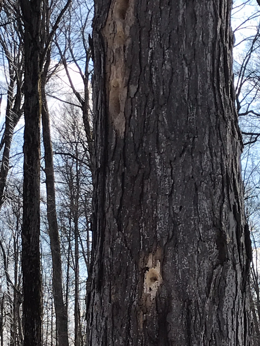
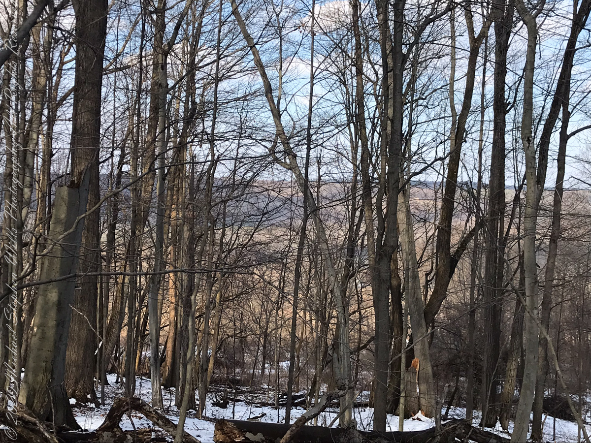
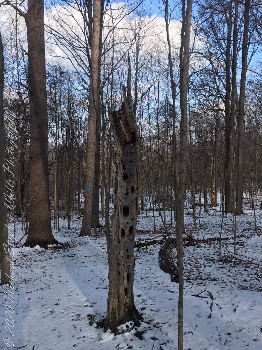
forested uplandvernal poolsnagfull of bird holes
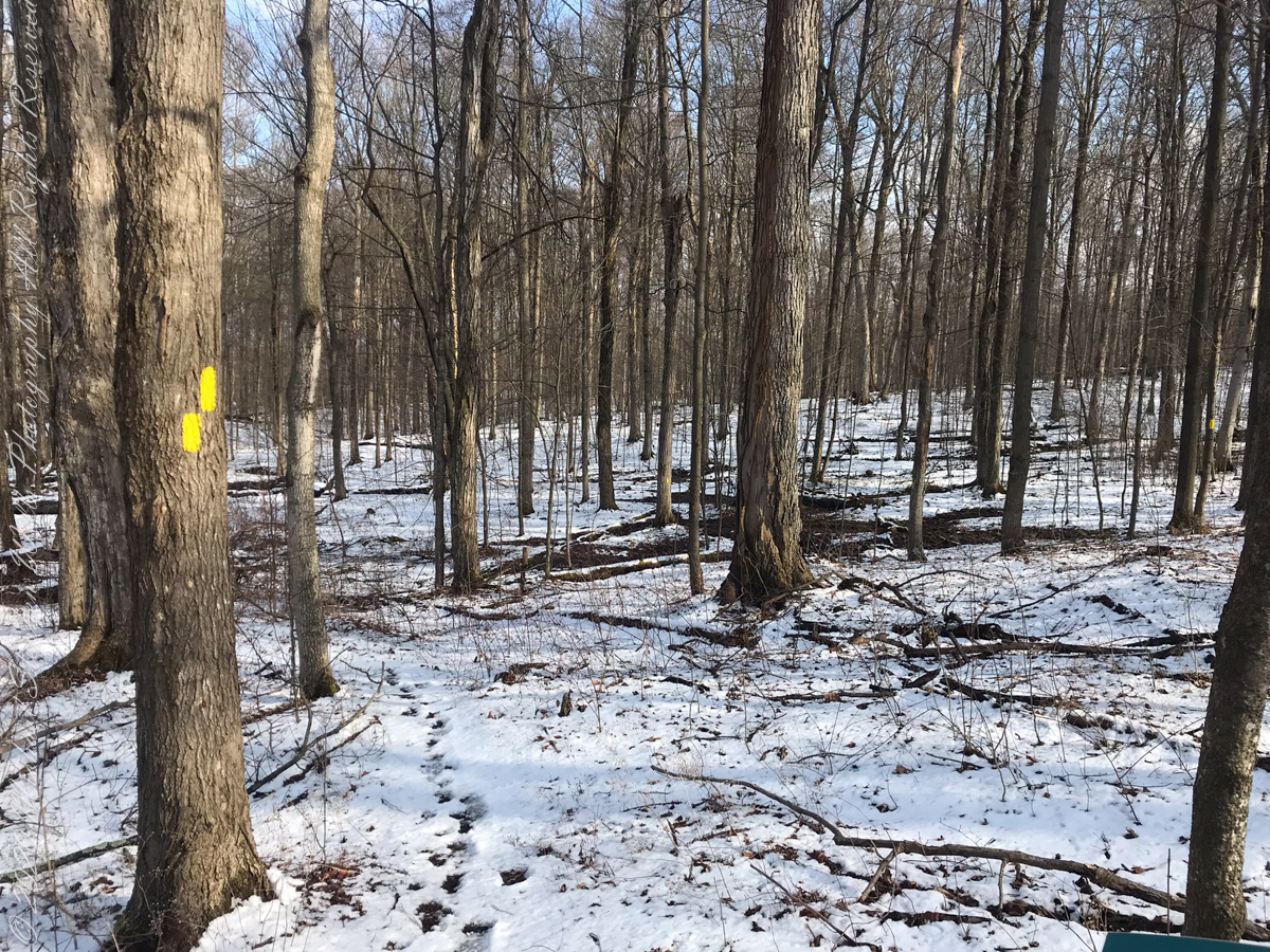
The preserve exceeded my expectations for great upland views.
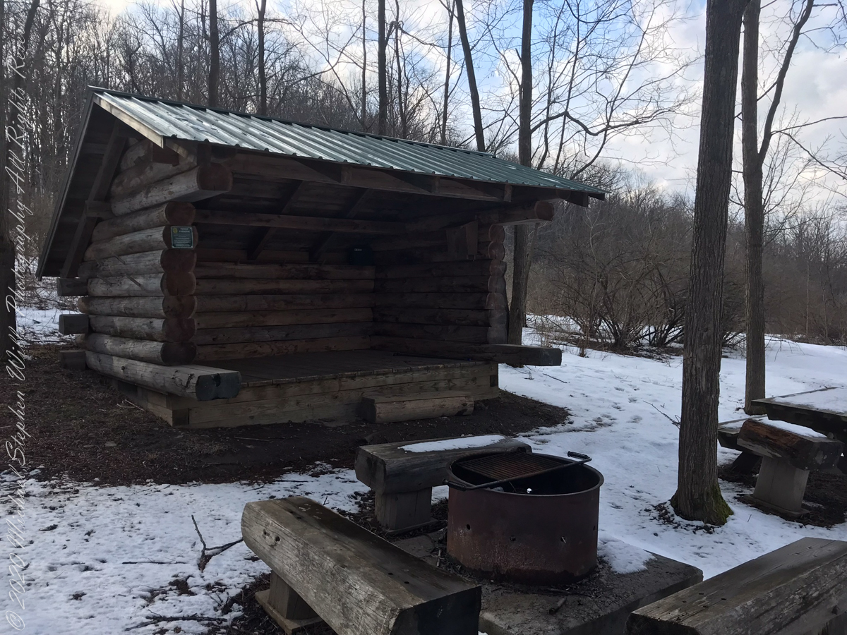
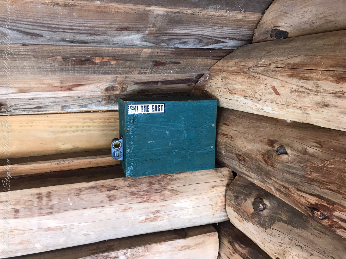
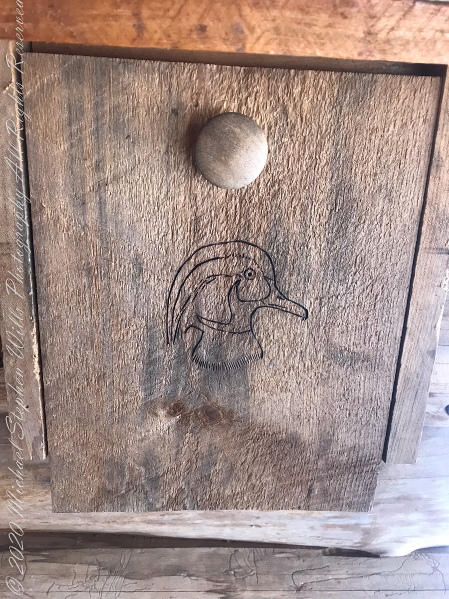
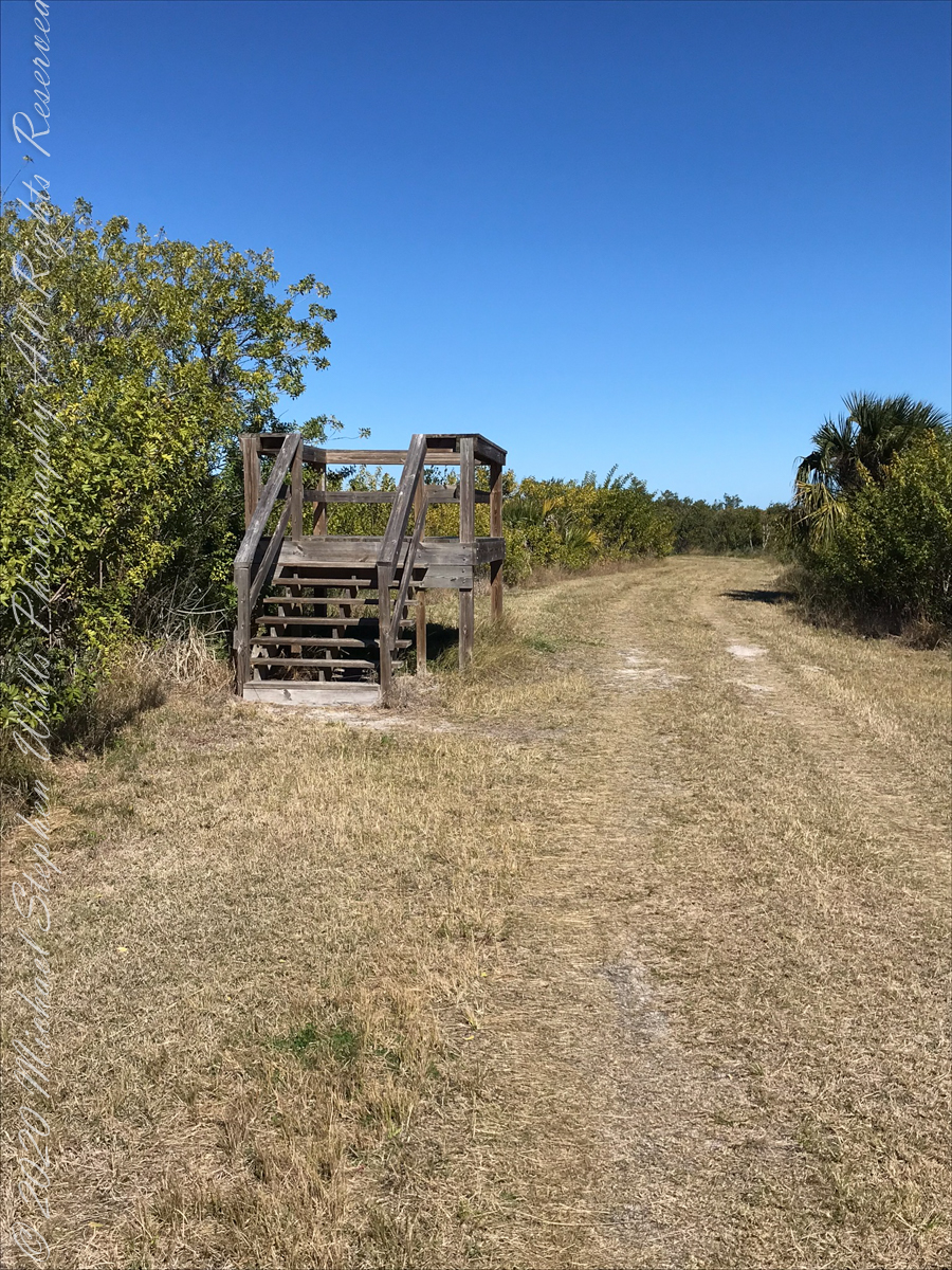
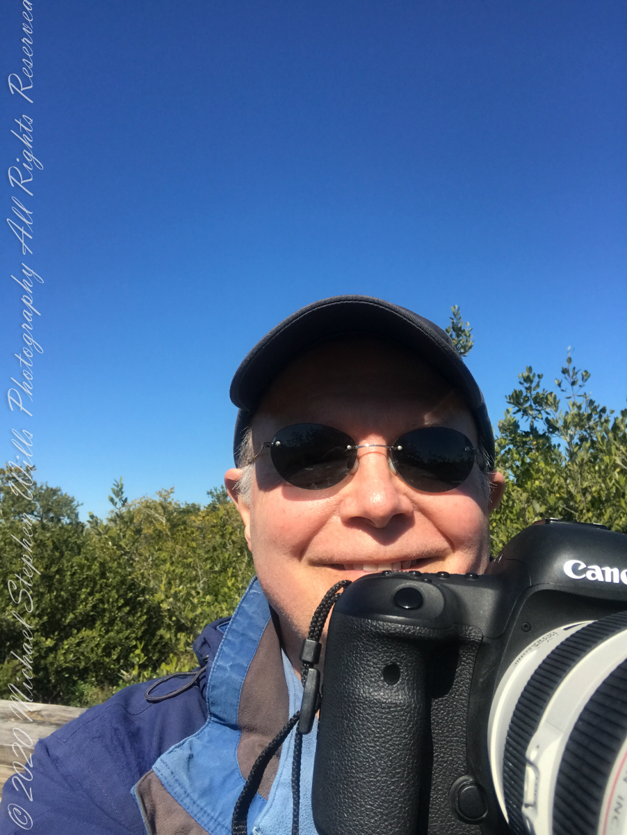
above the lean-topapartment houselean to made from tamarack logs with excellent fire pitsolar powered charging stationdocument box / mouse houseselfie
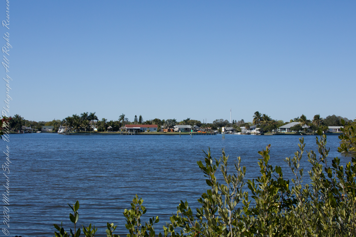
View from Shelter across the valley of Enfield Creek, the same that flows over Lucifer Falls of Treman State Park
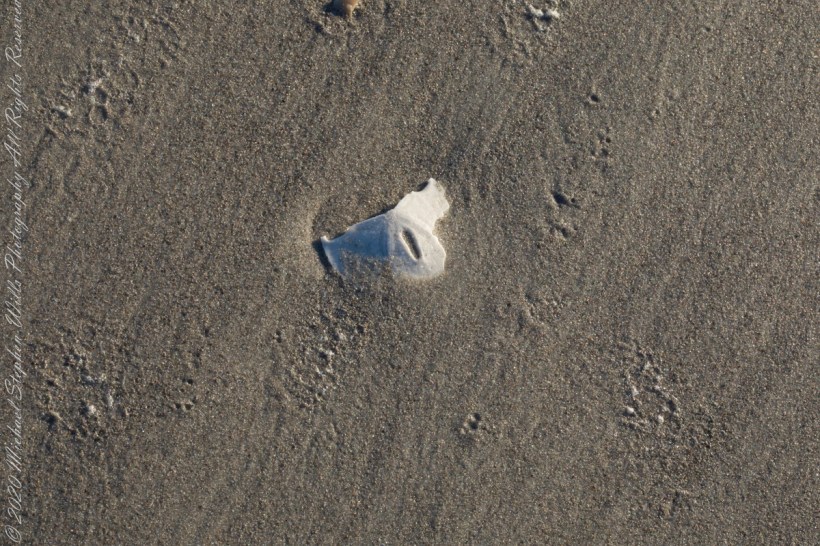
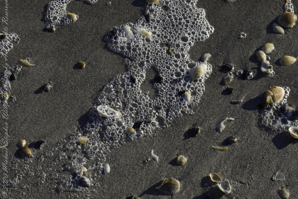
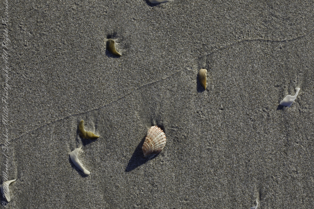
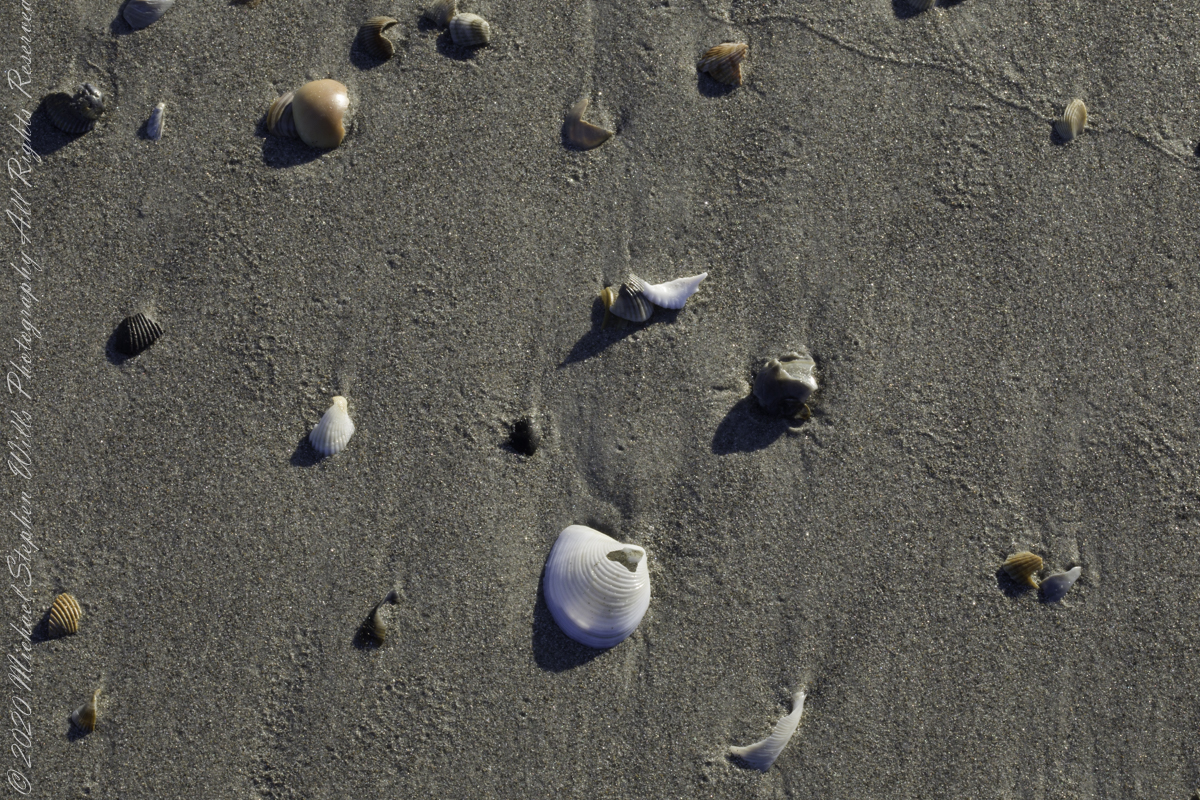
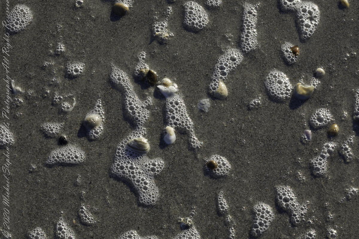
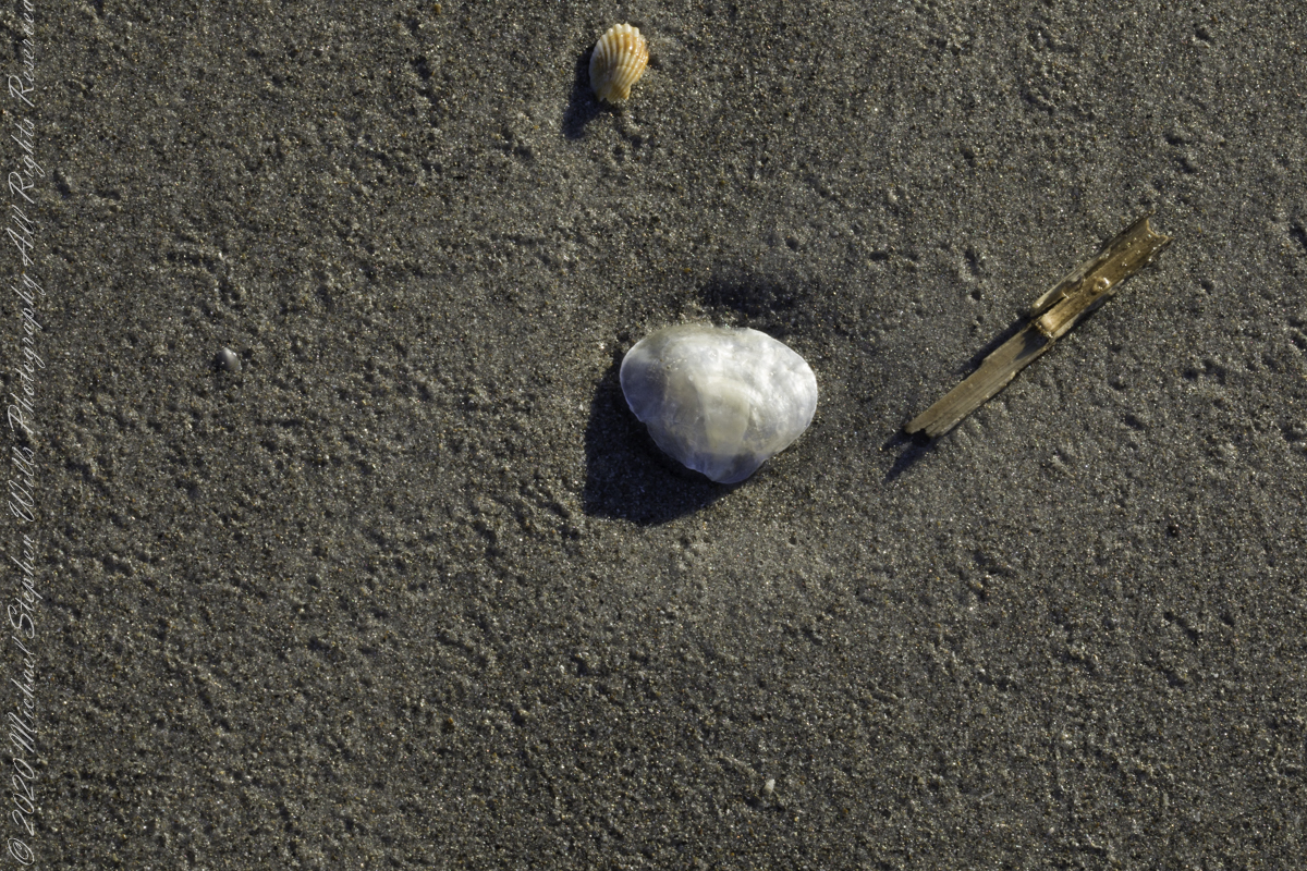
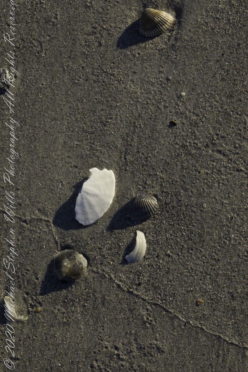
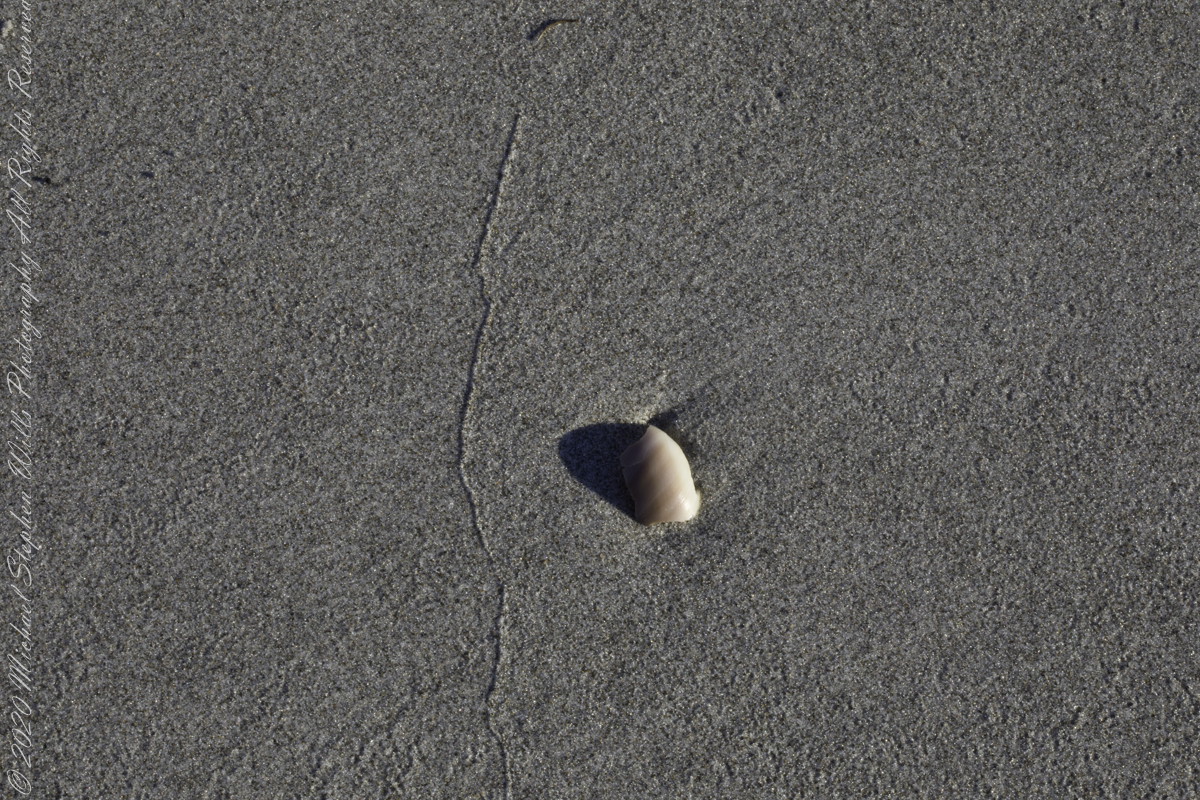
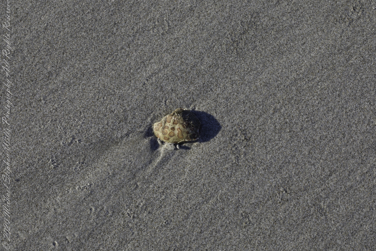
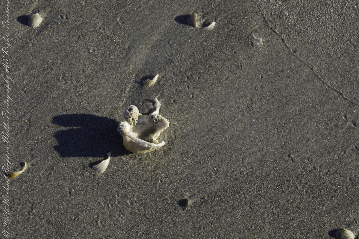
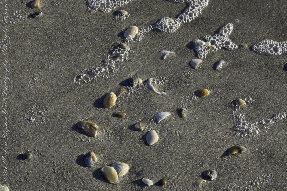
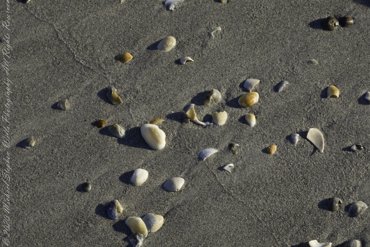
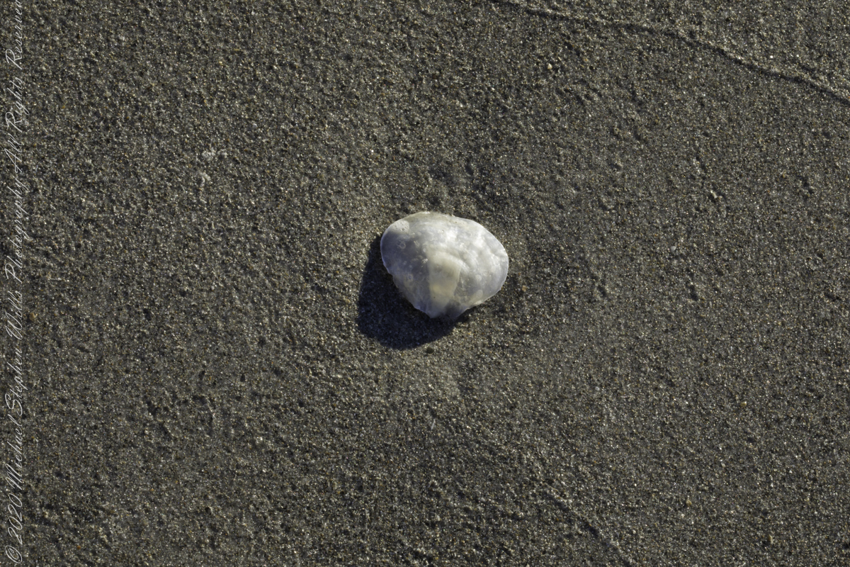
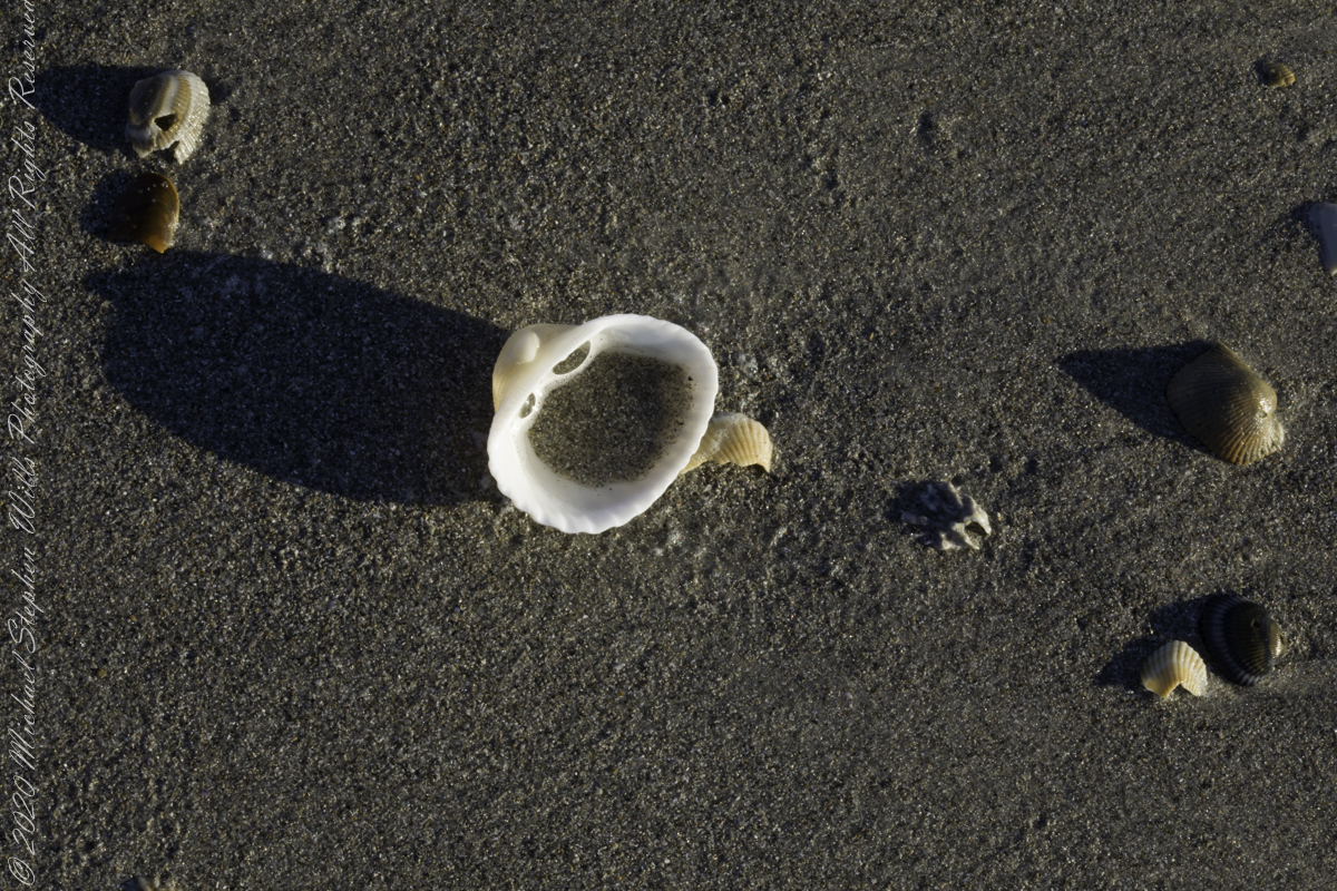
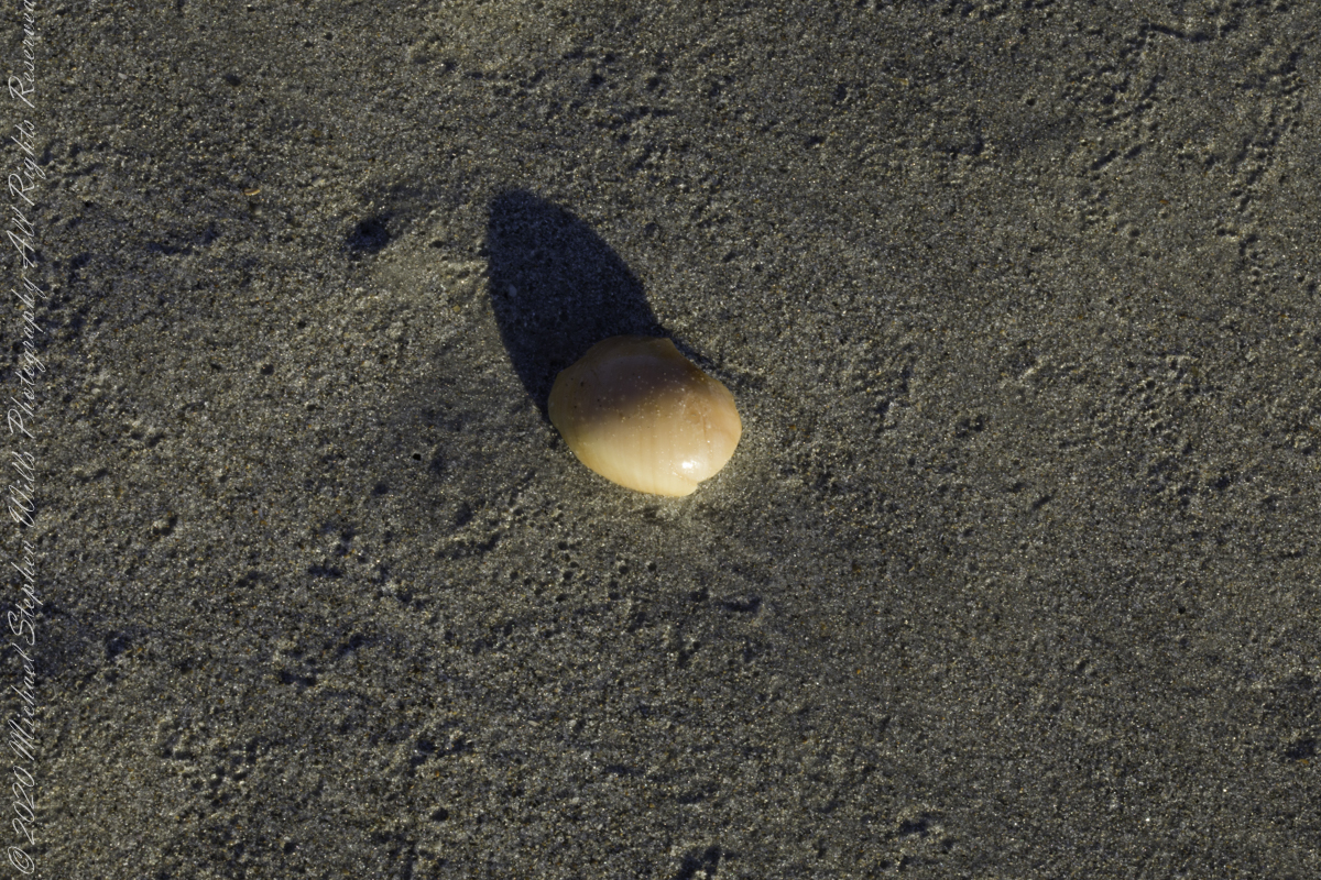
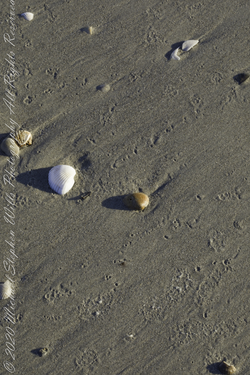
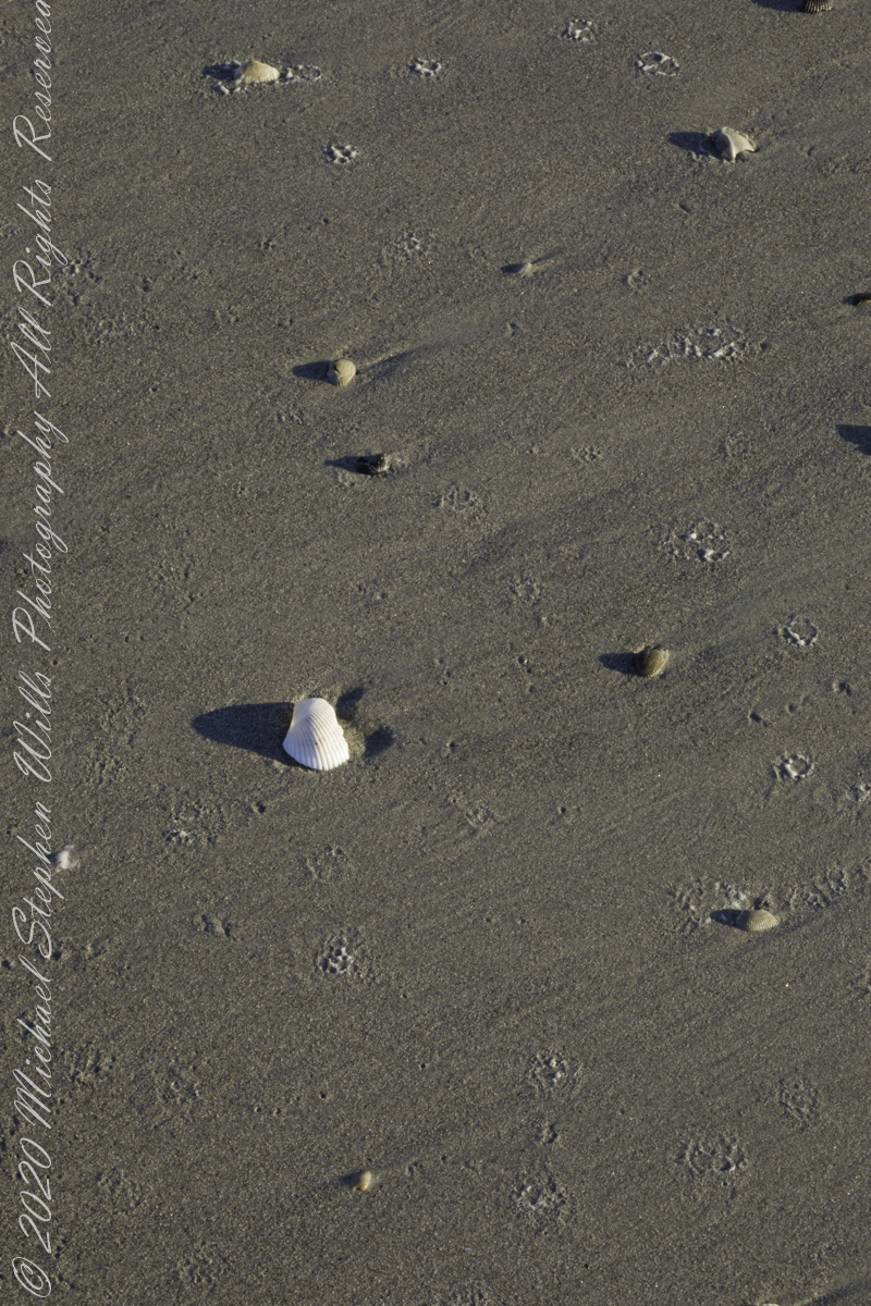
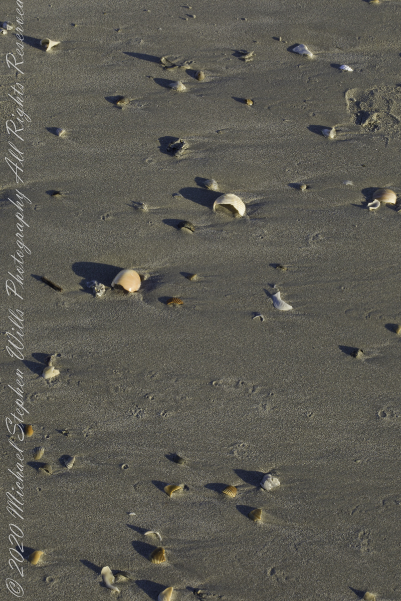
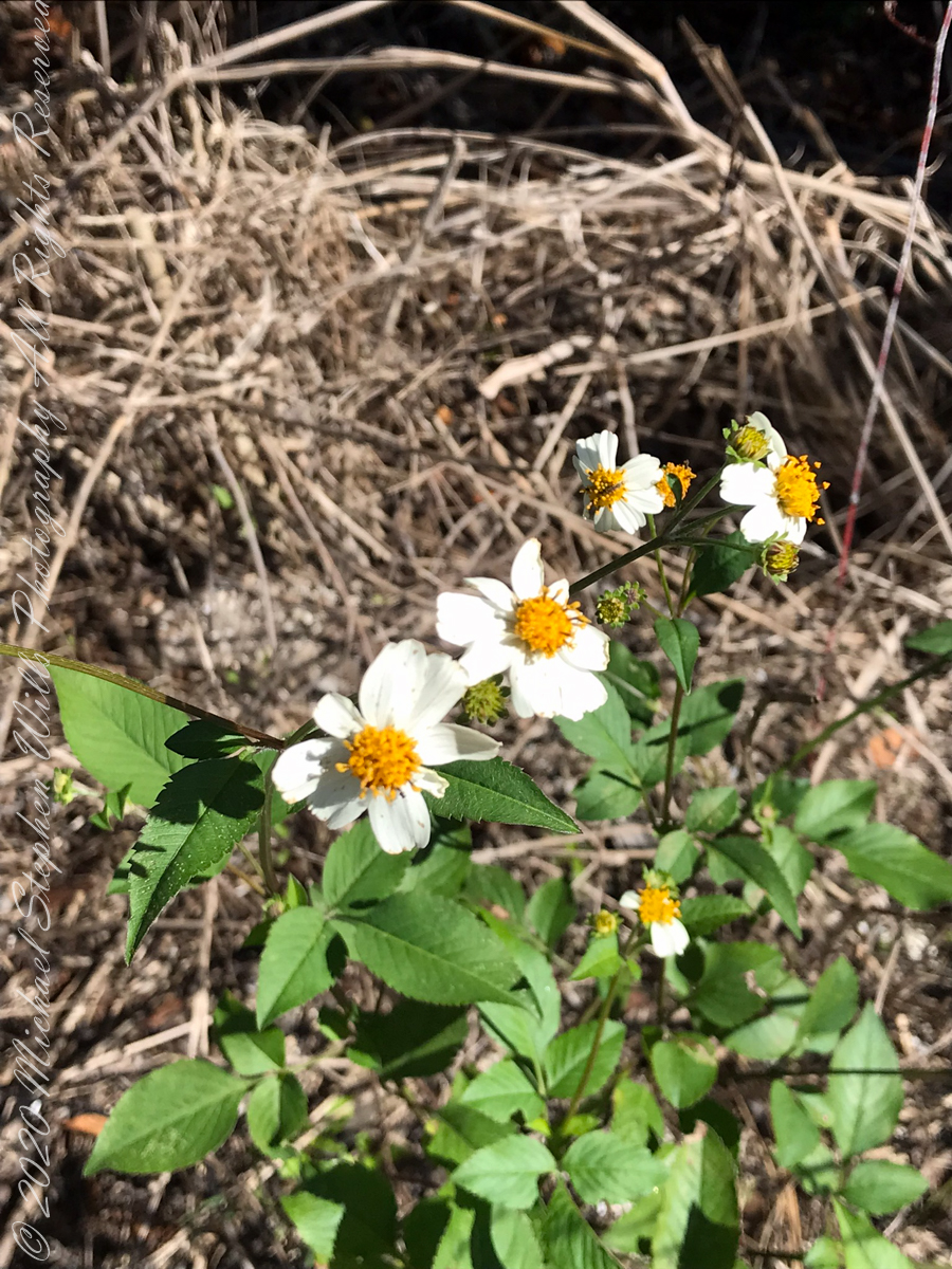
The same day I captured “Rosy Fingers of Dawn” and “Oceans Eons”, these still lives were found using a 100 mm macro lens.
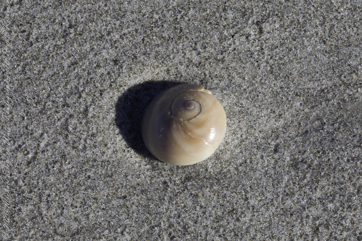
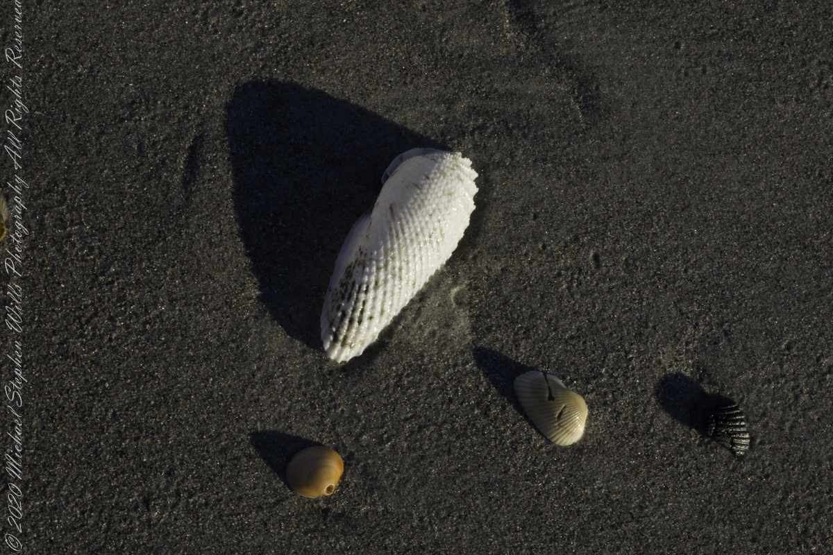
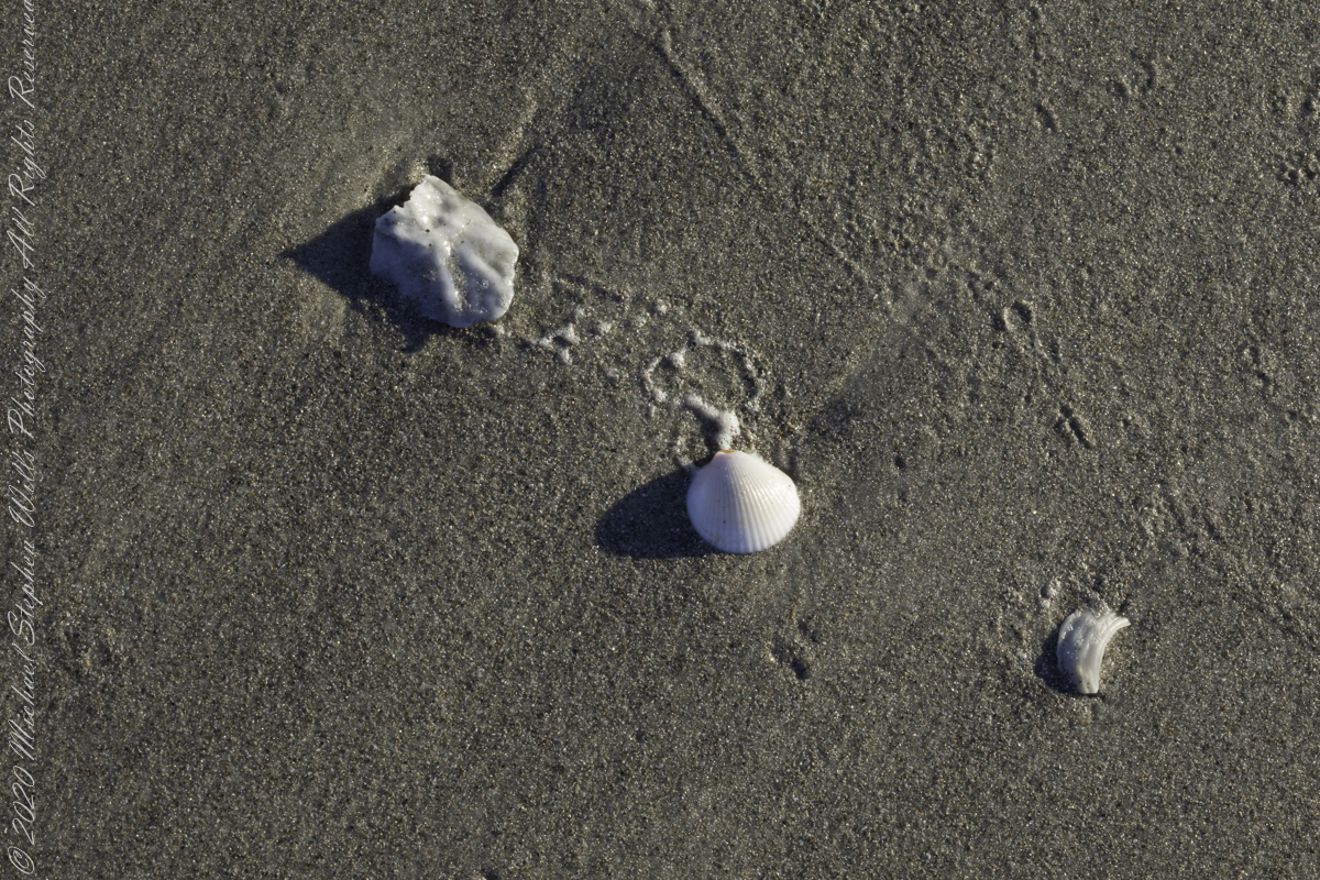
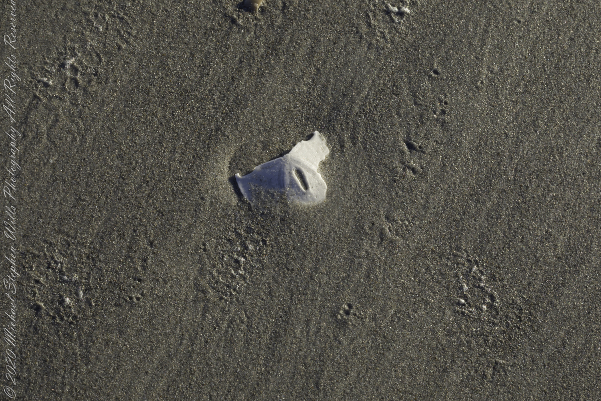
Planting of Sea OatsShell of the Moon Snail (Naticidae) found in the surf washSmall whole and fragments, gastropod shells in fresh sea foamScattered remains of shell left by receding surfScattered remains of shell left by receding surfSmall whole and fragments, gastropod shells in fresh sea foamNacre, also known as mother of pearl, is an organic–inorganic composite material produced by some molluscs as an inner shell layer; it is also the material of which pearls are composed. It is strong, resilient, and iridescent.Shells washed on beach by wavesShells washed on beach by wavesSand Dollar fragment washed on beach by wavesShells washed on beach by wavesThere were submitted for publication by Getty
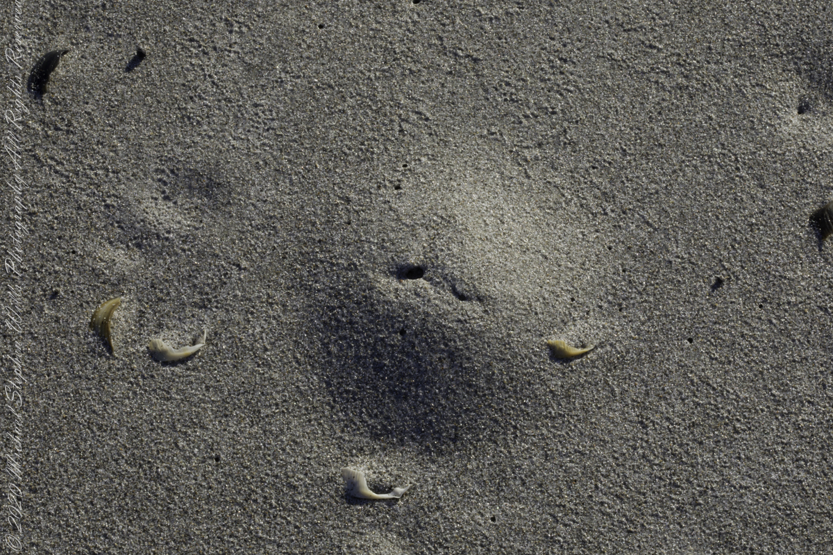
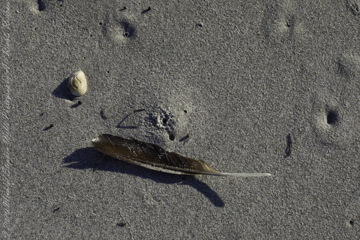
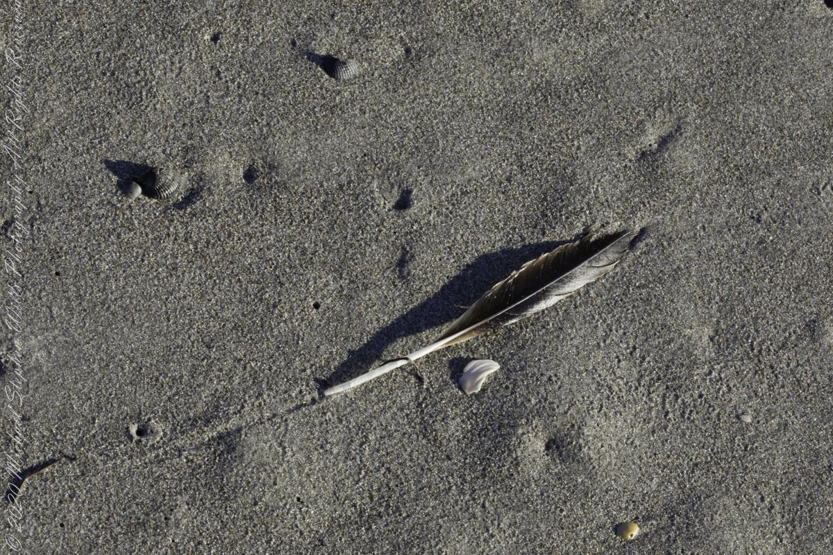
The following I reserved for our private enjoyment.
Burrow of a creature with breathing hole in the wash wash. Fragment of crab carapace in wave washScattered remains of shell left by receeding surfSmall whole and fragments, gastropod shells in fresh sea foamScattered remains of shell left by receeding surfNacre, also known as mother of pearl, is an organic–inorganic composite material produced by some molluscs as an inner shell layer; it is also the material of which pearls are composed. It is strong, resilient, and iridescent.Shells washed on beach by wavesThis Moon Snail shell fragment was found in surf washShells washed on beach by wavesShells washed on beach by wavesScattered remains of shell left by receeding surf
Copyright 2022 Michael Stephen Wills All Rights Reserved
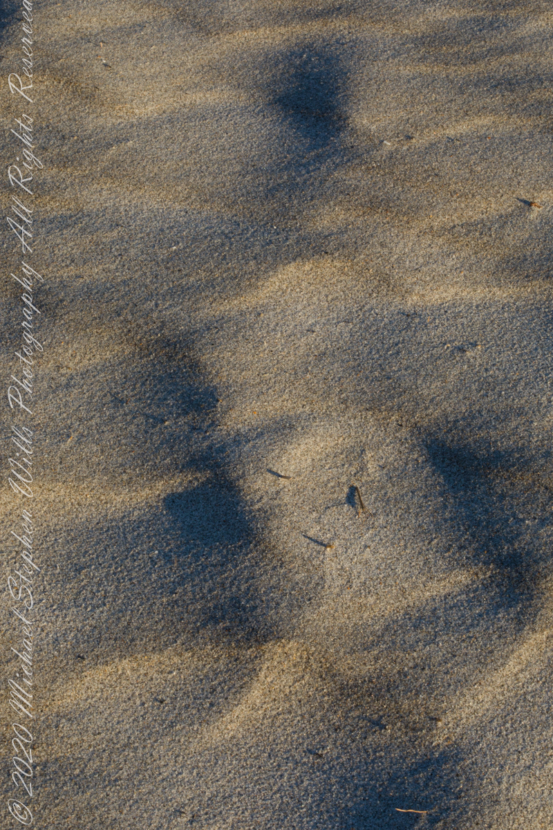
At first glance, Northerners may mistake this for fine snow blown on a bitter wind; but no, this is indeed a north wind, the temperature is above freezing, the material is beach sand. Keeping the sand in place is a concern for Brevard County.
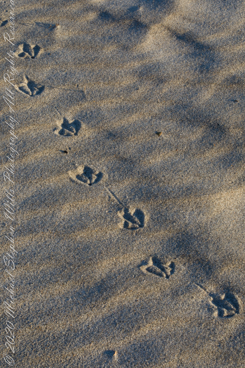
A gull walked through wind textured beach sand, see here in early morning light. Dawn light on beach sand textured by wind, see here in early morning light.
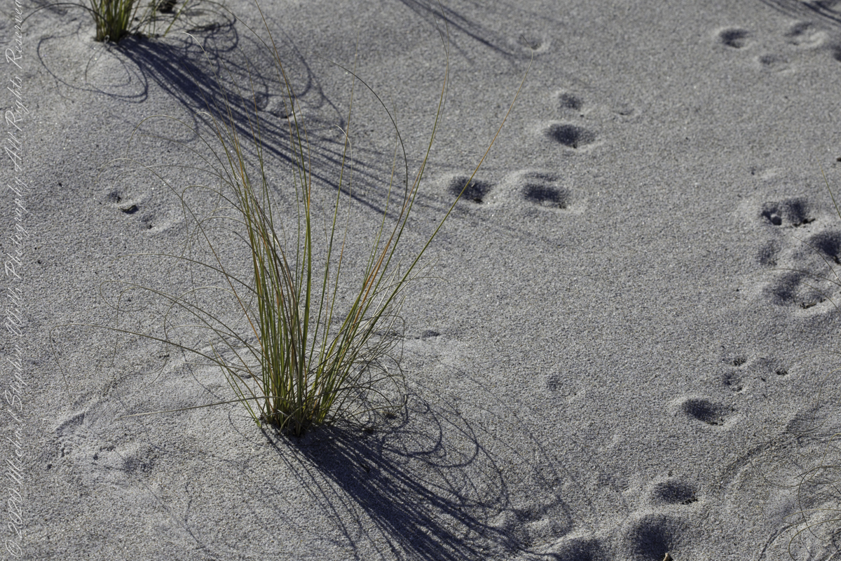
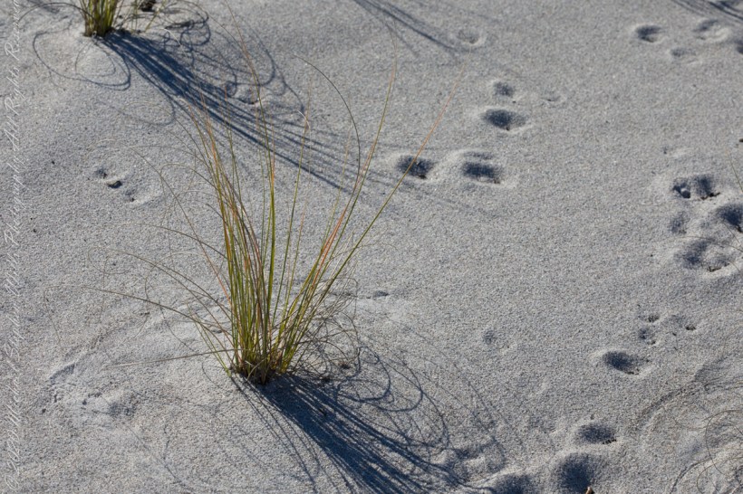
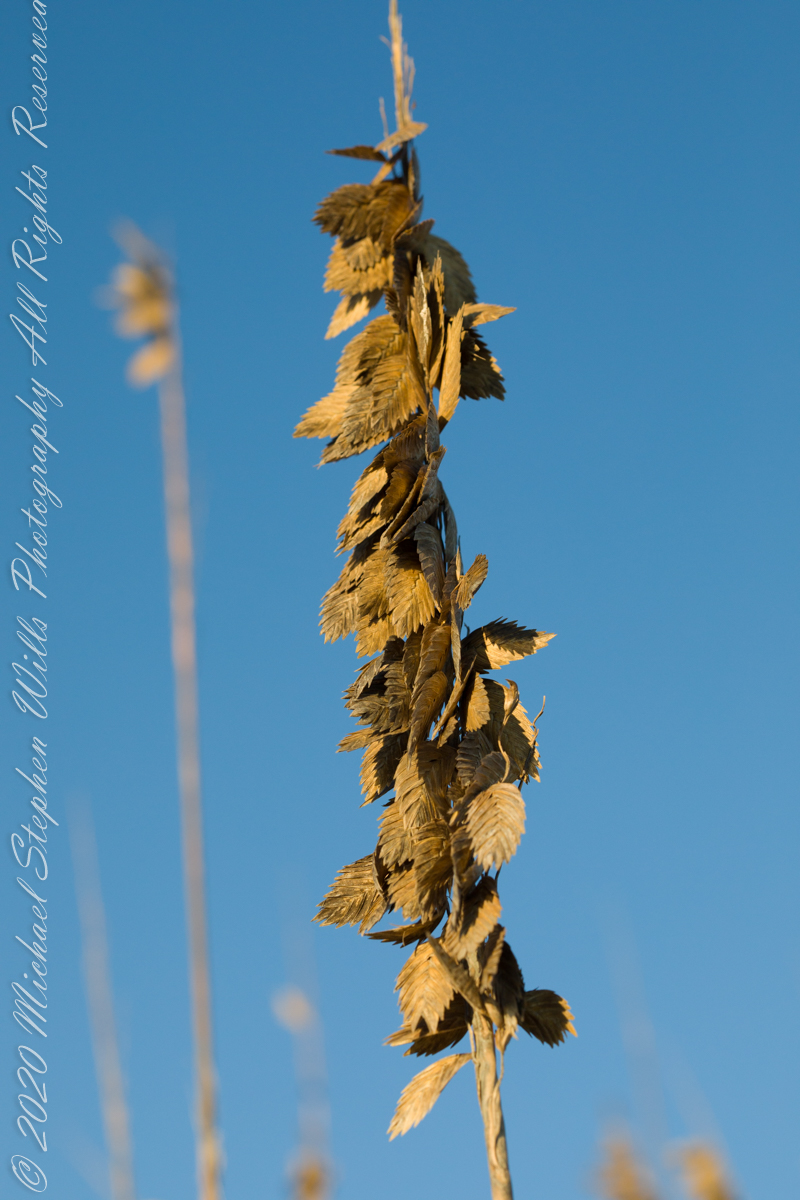
Golden brown infructescences (seed heads) of Sea Oats grass on stalks growing from dunes, seen here in early morning light, are one element of this plant beneficial to the goal of keeping beach sands in place. Tall stalks and broad leaves catch blowing sand. Deep roots hold the plants in place, shallow root systems hold sand in place to form dunes.
Returning after staying away for COVID-19, we found new plantings of Sea Oats by the county.
Planting of Sea Oats.
Copyright 2022 Michael Stephen Wills All Rights Reserved
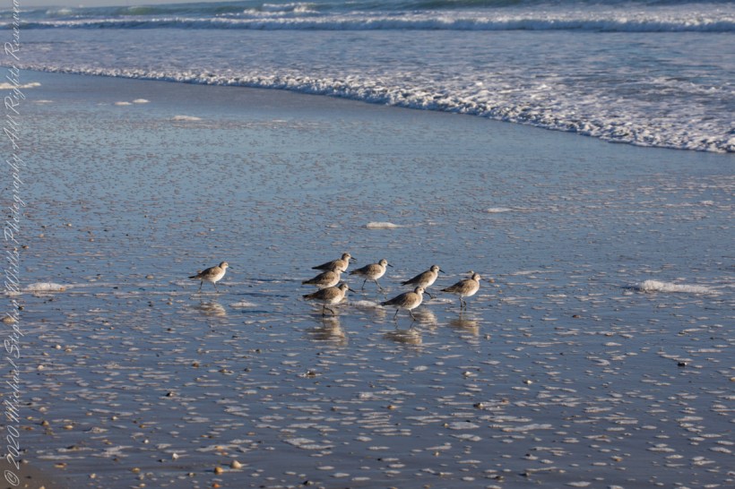
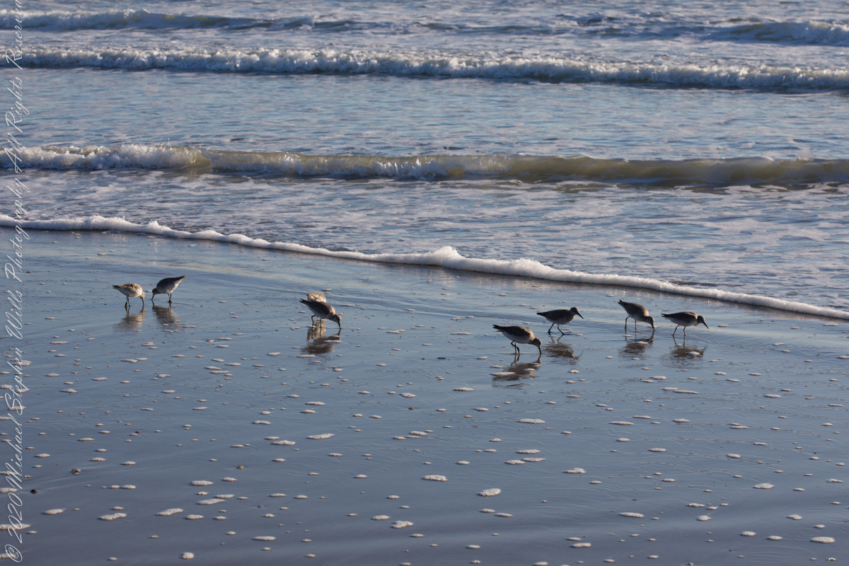
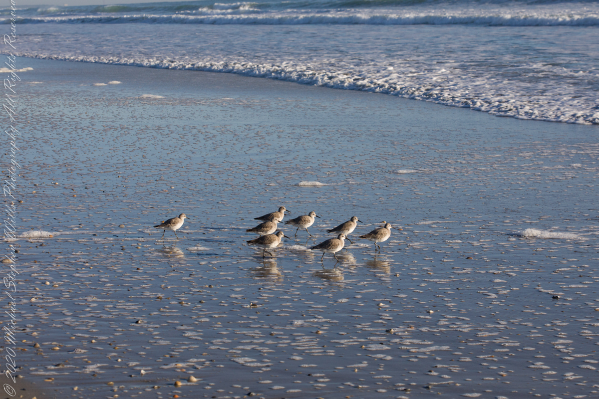
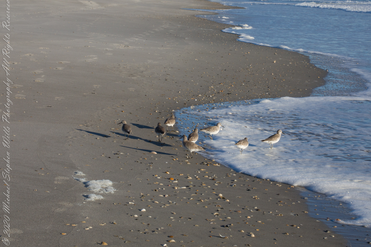
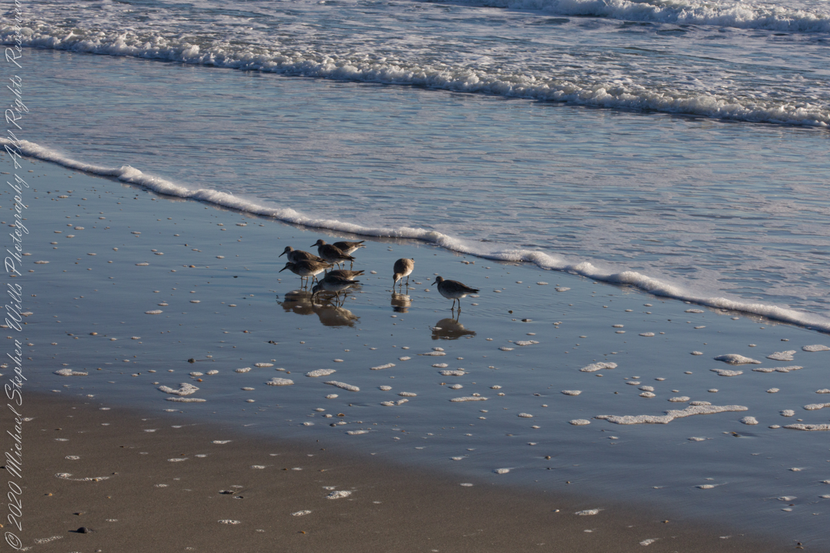
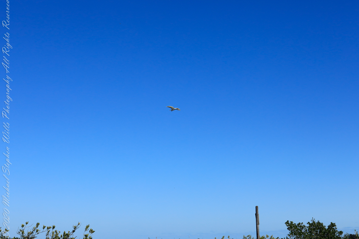
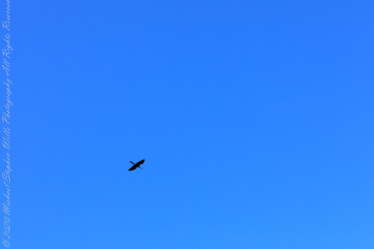
Walking mornings along the beach I encounter, one after the other, solitary sandpipers, called Willets. Before encountering this group, I noticed massed Black Skimmers feeding in the surf and, on the beach, a single, tiny (1/8th of an inch) fish that I scooped up and returned to the surf. My surmise is these several days around the full moon, fish were being birthed and swarming to provide a bounty that brough these solitary Willets together.
Copyright 2022 Michael Stephen Wills All Rights Reserved
Pam and I were drawn outside the day after Valentine’s a bit of sun, an unreliable warm breeze, a promise of exercise. Our expectations were disappointed for all but the last at the foot of the Taughannock Falls gorge trail.
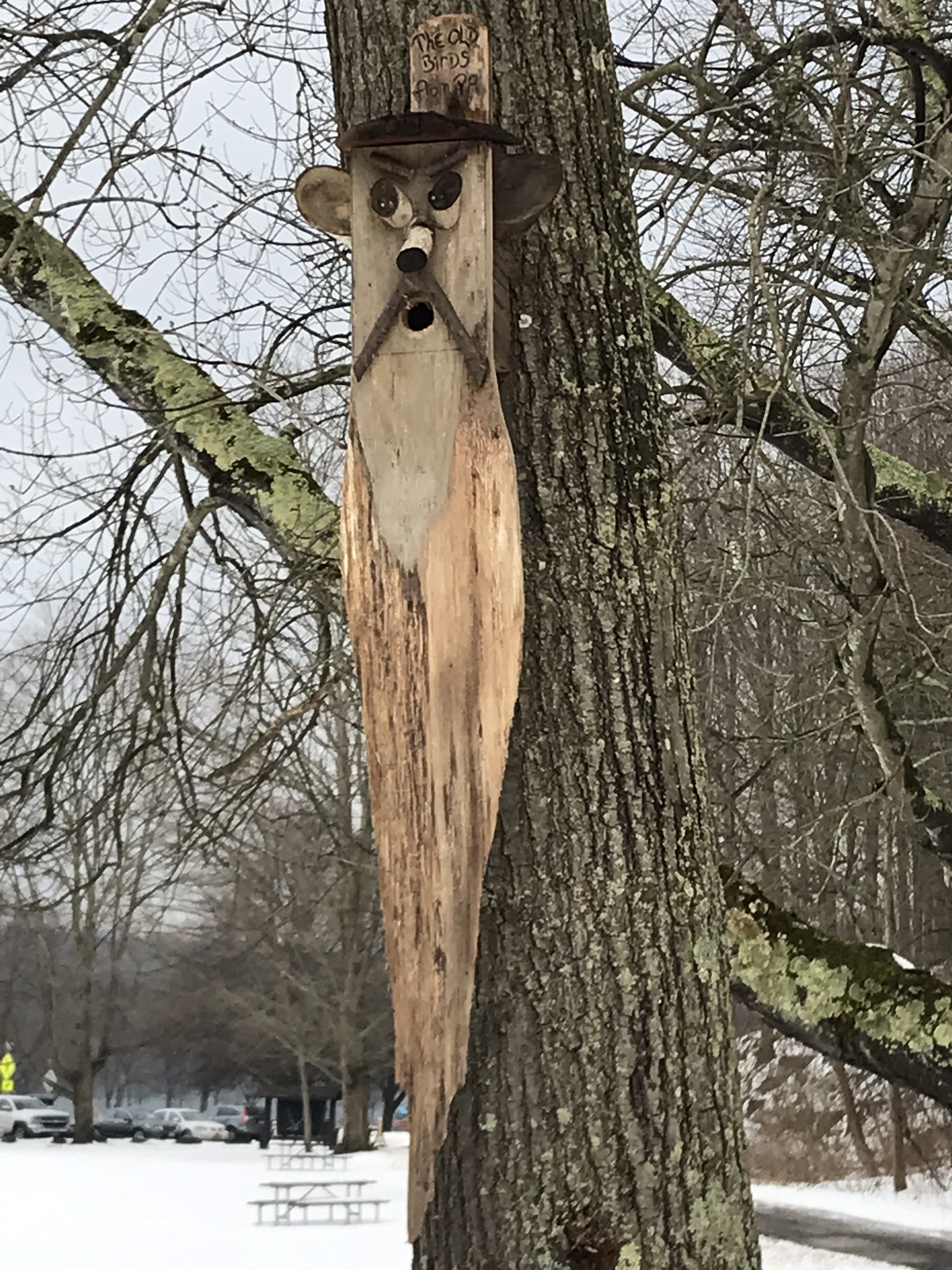
We had a reminder mid-February marks the start of avian mating behavior with this addition to the view from Taughannock Creek, the first large waterfall. For the cold, drizzly excursion I chose the IPhone, in a waterproof case, for the images. The fanicful birdhouse inscription reads “The Old Birds from Pa.”
Click the photograph for my “Finger Lakes Memories” Online gallery.
The winding gorge takes a general east, southeasterly direction. Where the sun cannot reach the snow was reduced to a treacherous slushy ice mix more nasty than dangerous.
View from the Overlook on the way to the trail. This is the endpoint of our hike, viewed from the gorge rim.
Of all the area hiking experiences, Taughannock Gorge Trail is the only one available year round. The gorge is wide with enough room for the footpath to avoid the cliff edge. Today, there were places were ice formations were throwing large ice chunks down the slope. The park ranges place tree trunks along the cliff base, with warning signs to stay away. Still, there are visitors who stray too close with fatal outcomes reported by local news.
Pam was fascinated by the appearance of snow and ice accumulated on the talus, here seen from the Taughannock Falls viewing bridge.
Click photograph for my “Finger Lakes Memories” online gallery. Photo by Pam.
You can just pick out the viewing bridge in the Falls Overlook video.
Click photograph for my “Finger Lakes Memories” Online Gallery. Photo by Pam.
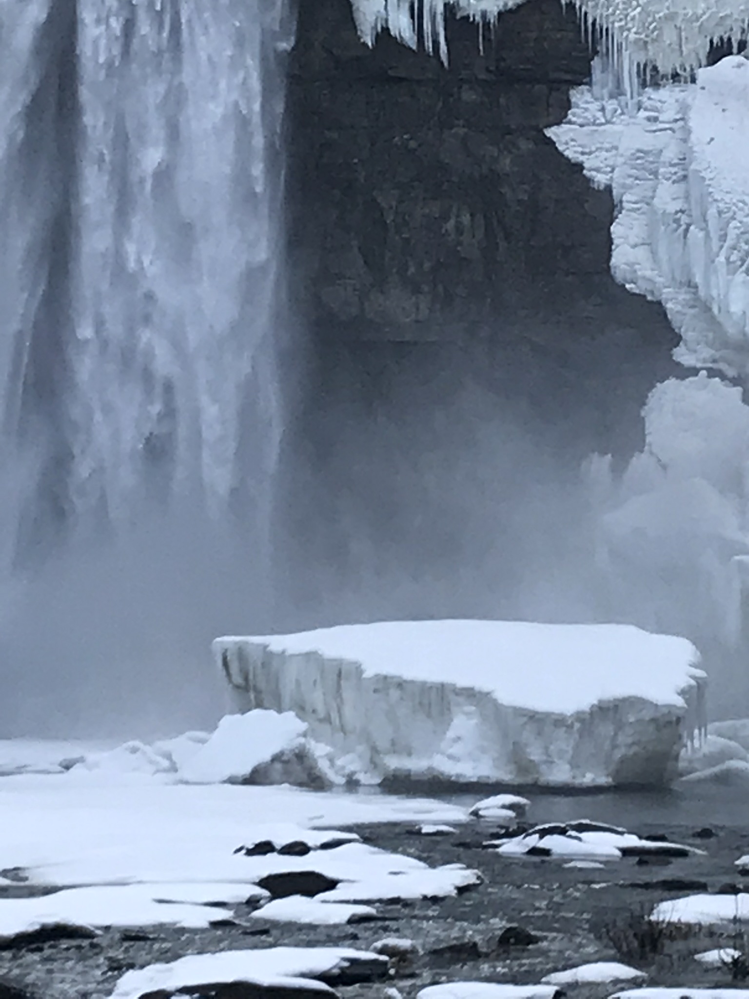
Taughannock Falls bound by ice is a most dramatic sight. I need to post photographs from a 2005 visit during an especially frigid February. Here, the falls have thrown off the ice, leaving this house-size chunk.
Click photograph for my “Finger Lakes Memories” Online Gallery
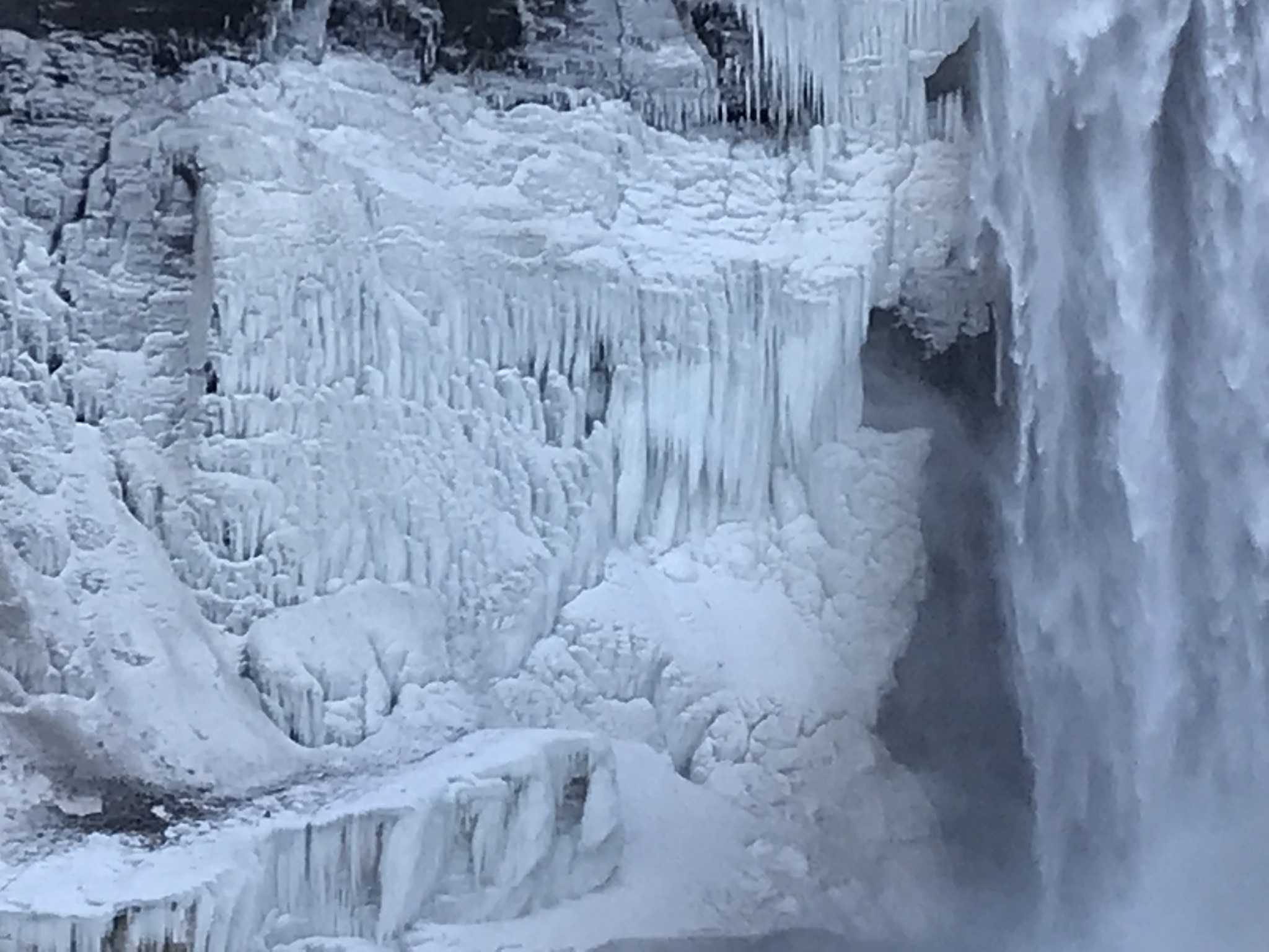
The surrounding gorge walls are continually frost coated by the mist.
Click the photograph for my “Finger Lakes Memories” Online Gallery
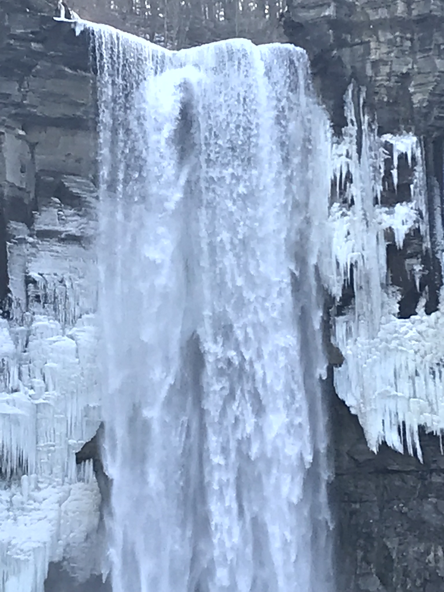
210 foot Taughannock Falls from the viewing bridge.
In more clement seasons the Gorge Trail ends much closer to the falls. Today, it was closed as, during winter and especially thaws, blocks of the sandstone cap break away to fall with great force across that part of the trail. This viewing area is visible in the Falls Overlook video.
Copyright 2019 All Rights Reserved Michael Stephen Wills
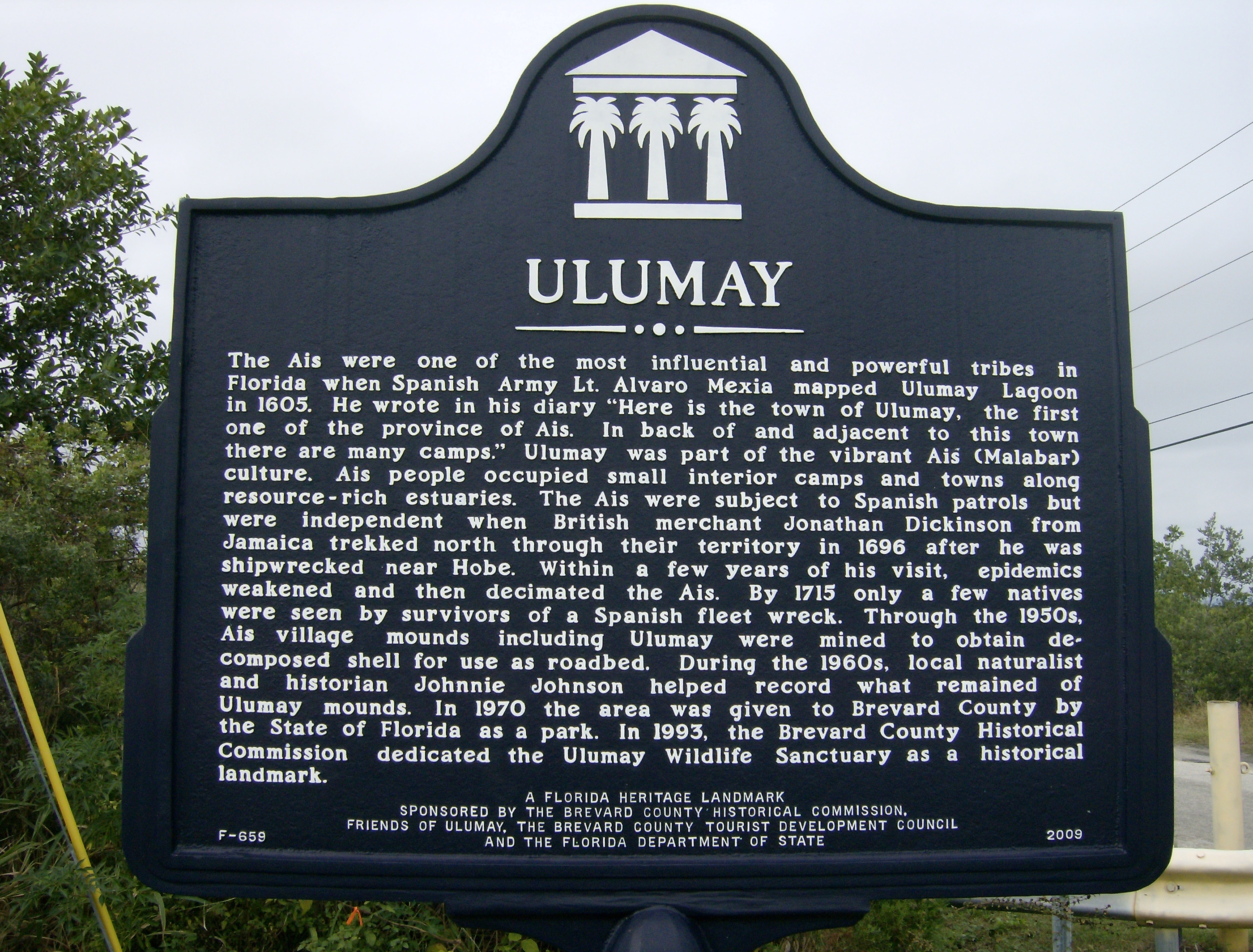
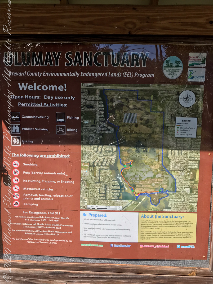
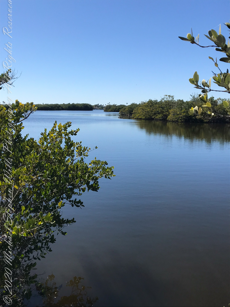
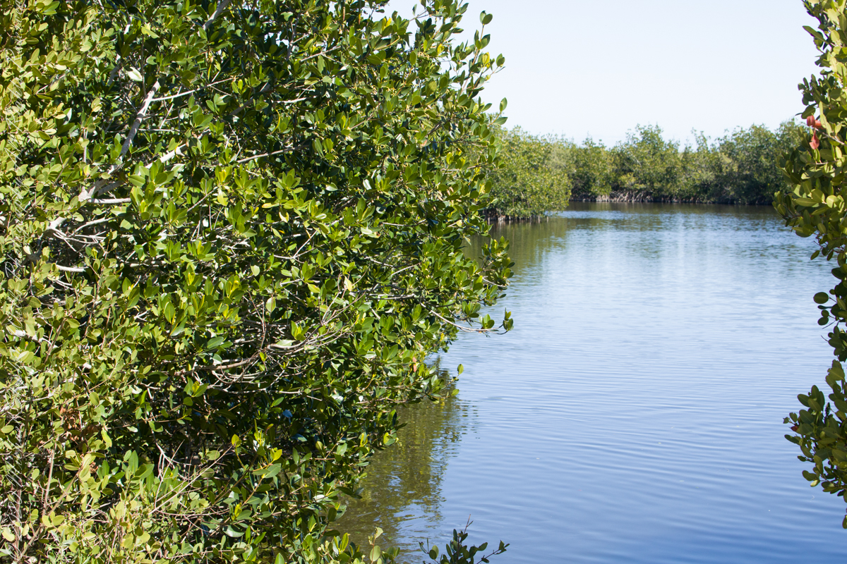
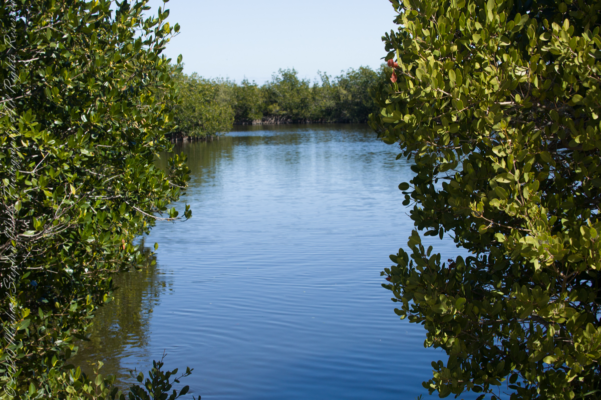
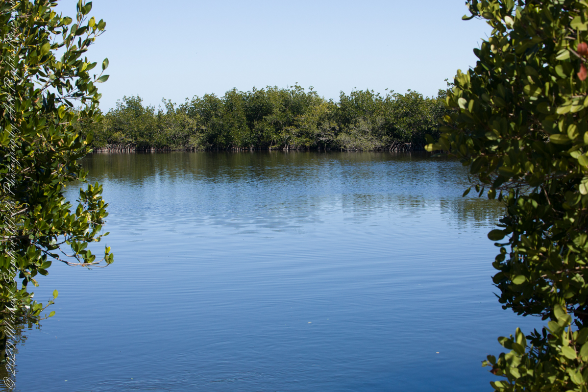
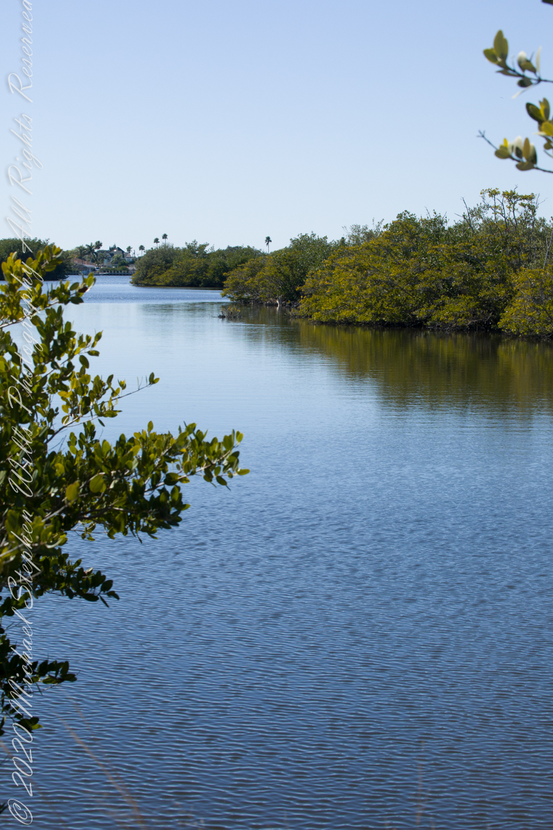
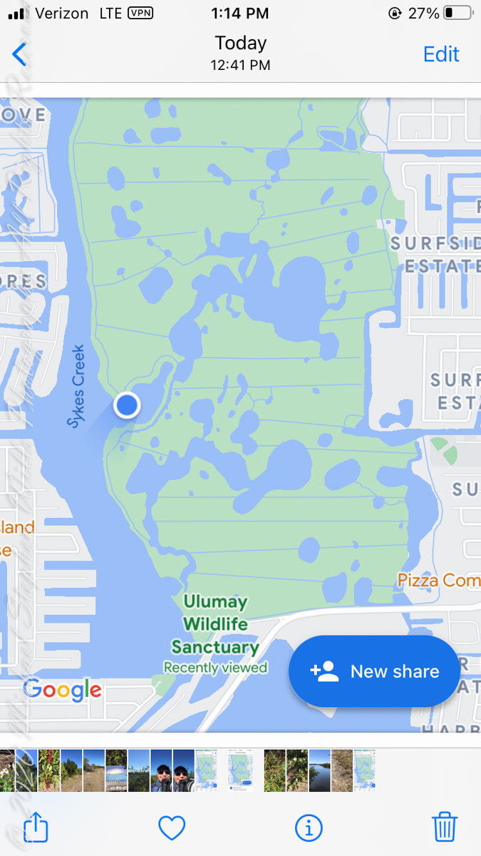
Ulumay is the name of the Native American settlement of the Ais people decimated by disease after the arrival of Europeans. The park is a natural lagoon and bird rookery linked with canals created for mosquito control and surrounded by a manmade dike. A trail on the dike provides access to the waterways for the fisherman, birdwatchers, and paddlers.
Ulumay Marker just off Sykes Creek Parkway
This informative placard, placed at the entrance. Note the 600 park acres is surrounded by residential properties.
I left Pam at the entrance, seen below at the words “Ulumay Wildlife”; she had a reasonable concern about alligators. It is quite possible to find a large specimen blocking the one and only trail. “What? Me Worry?” When pursued by an alligator, remember to zig-zag.
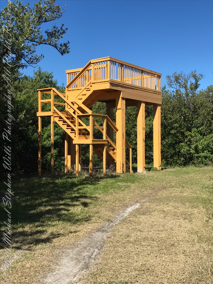
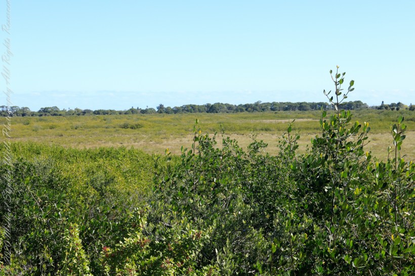
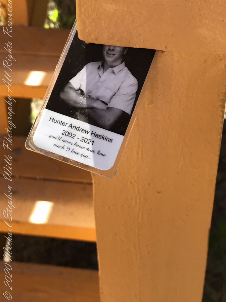
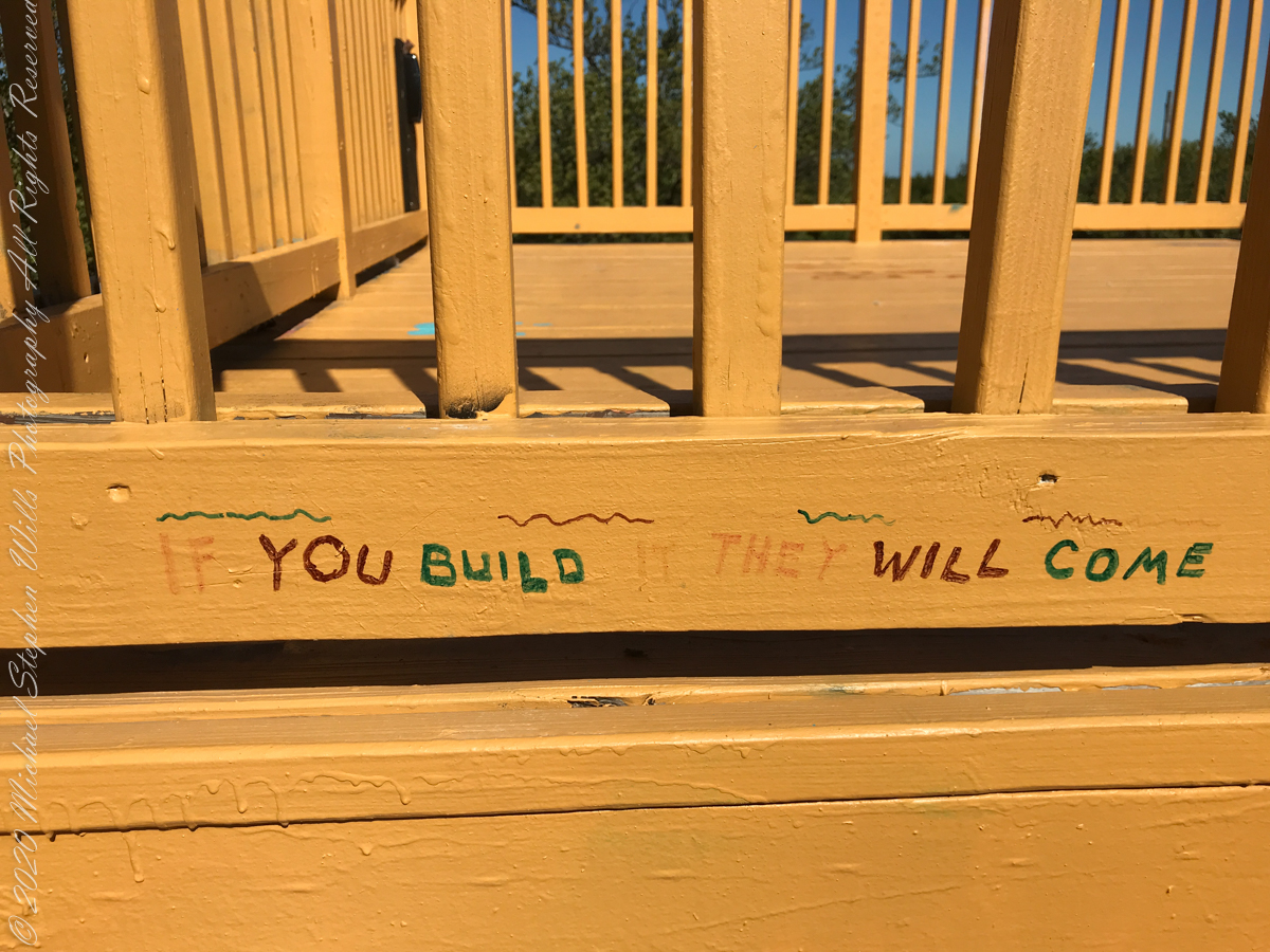
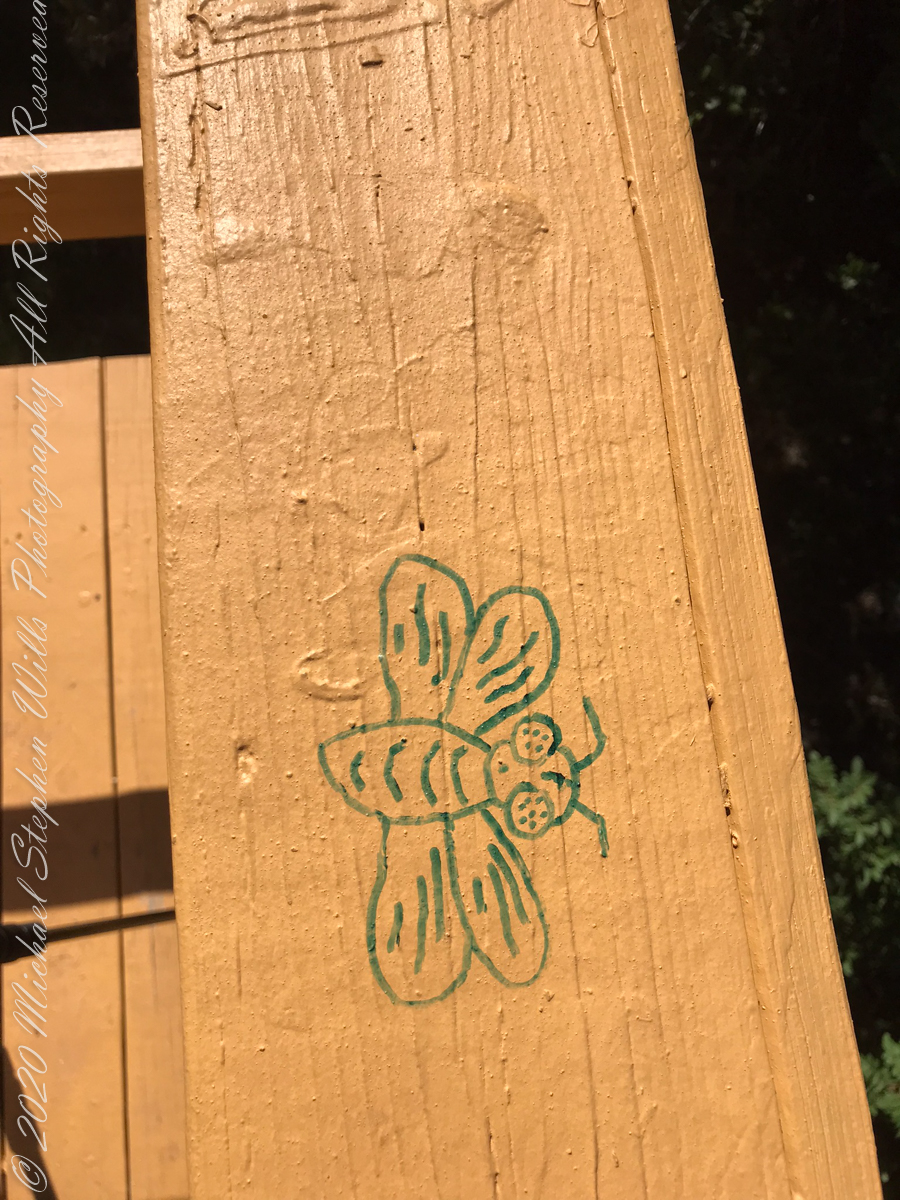
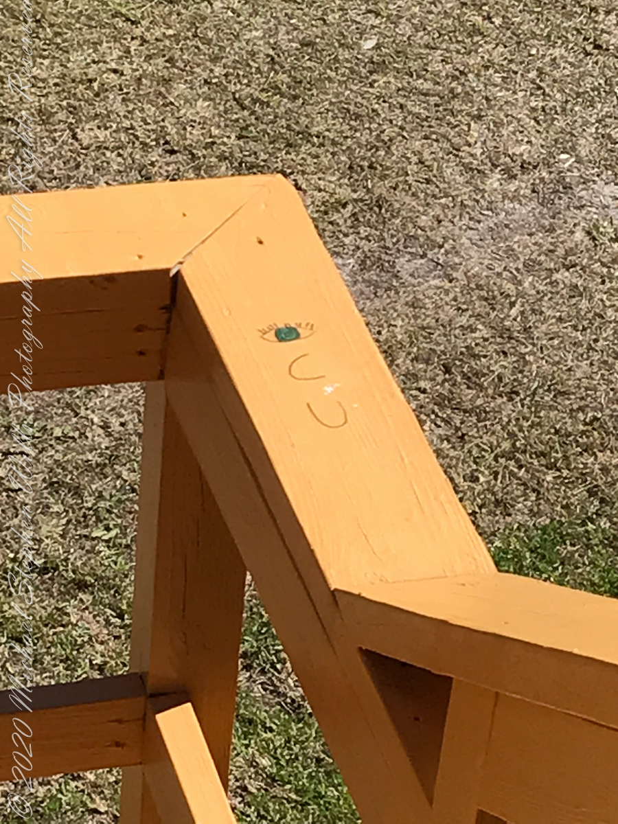
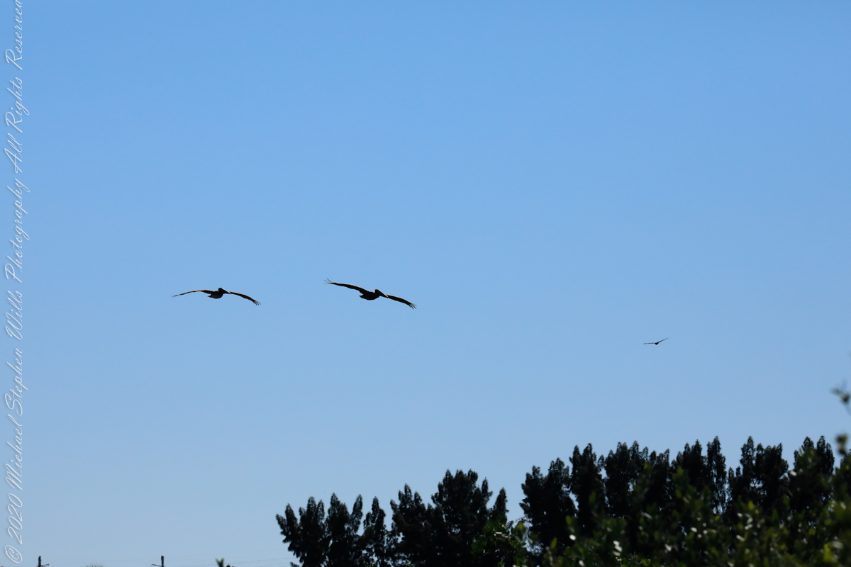
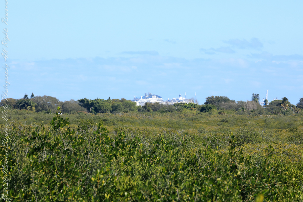
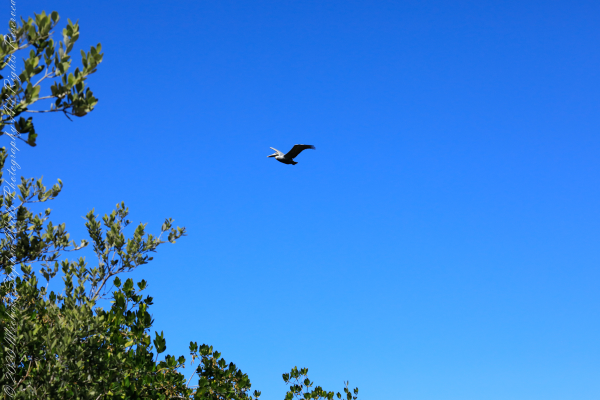
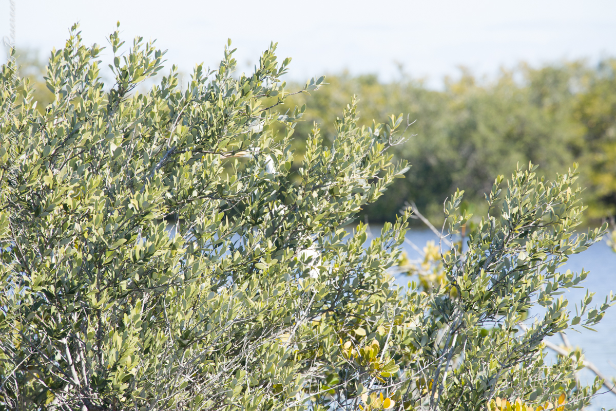
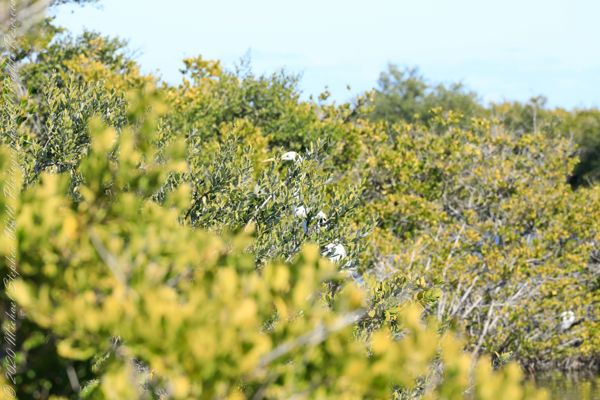
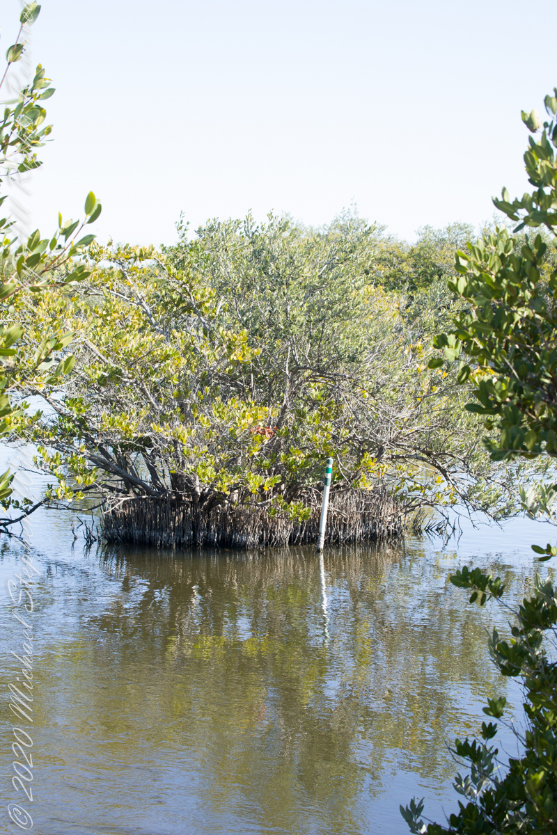
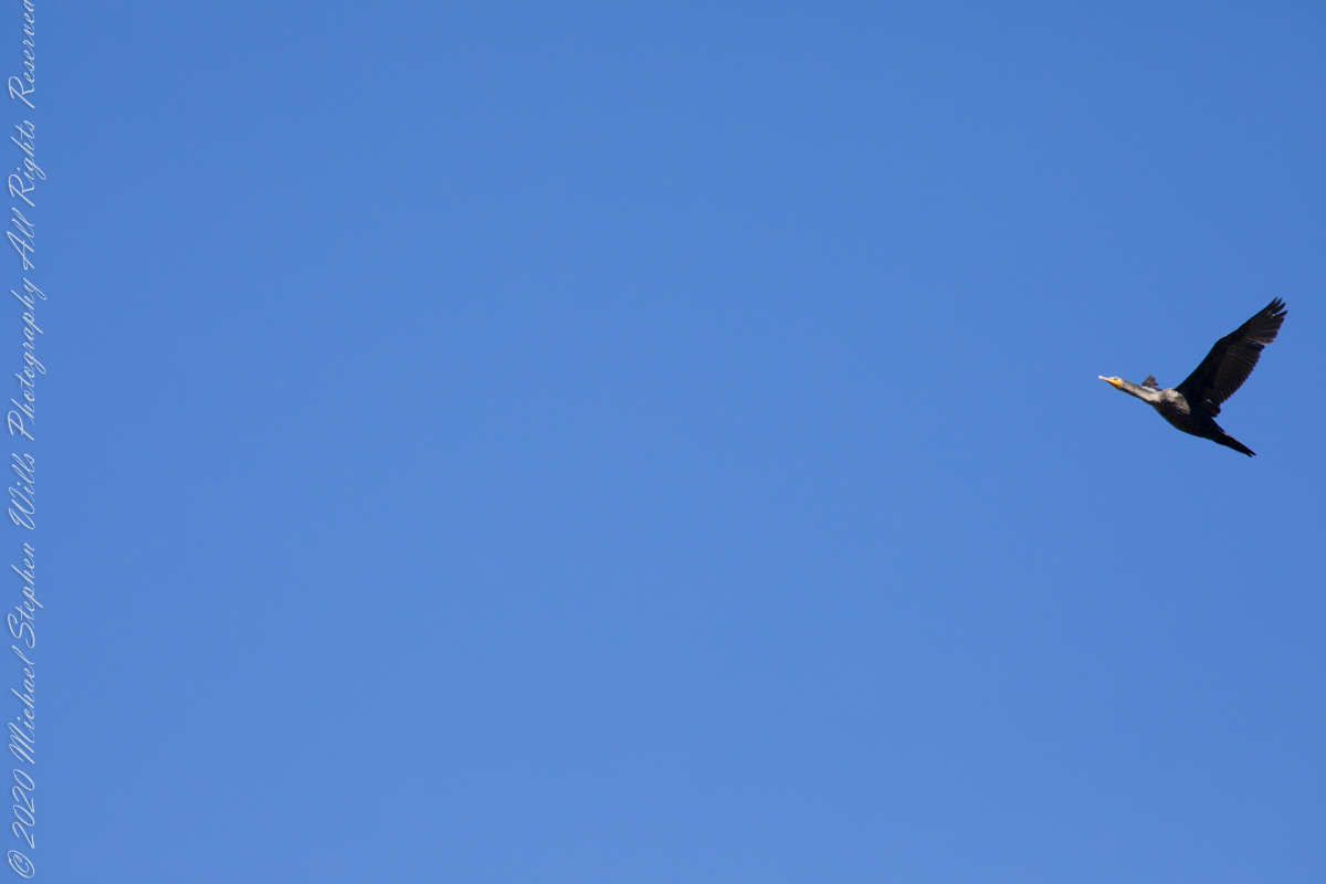
Path along the dike, thick vegetation on both sides generally limits the view.First StandView from standMemorial“If you build it….”Insect Repellant Advisement“I see you”PelicansCanaveral Cruise Port across the Banana River (really a lagoon).
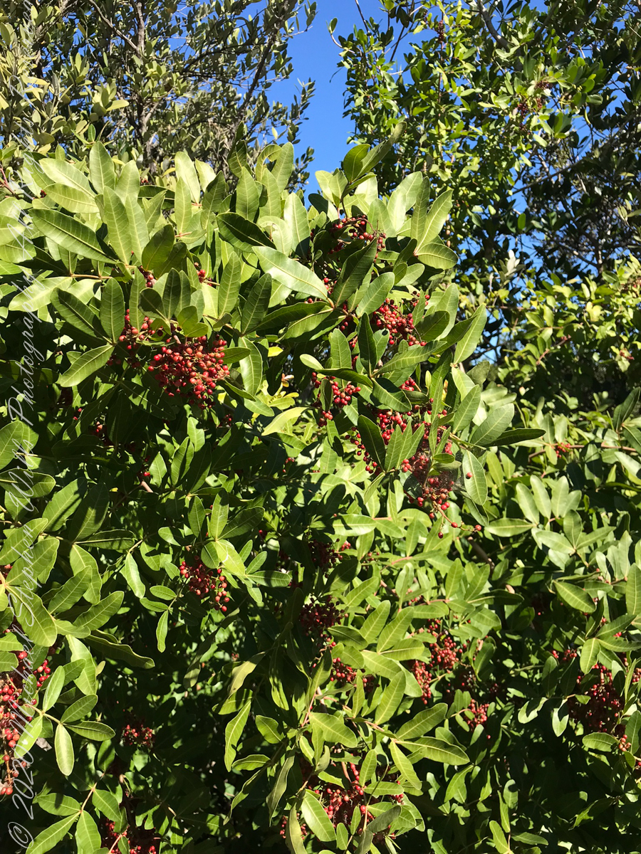
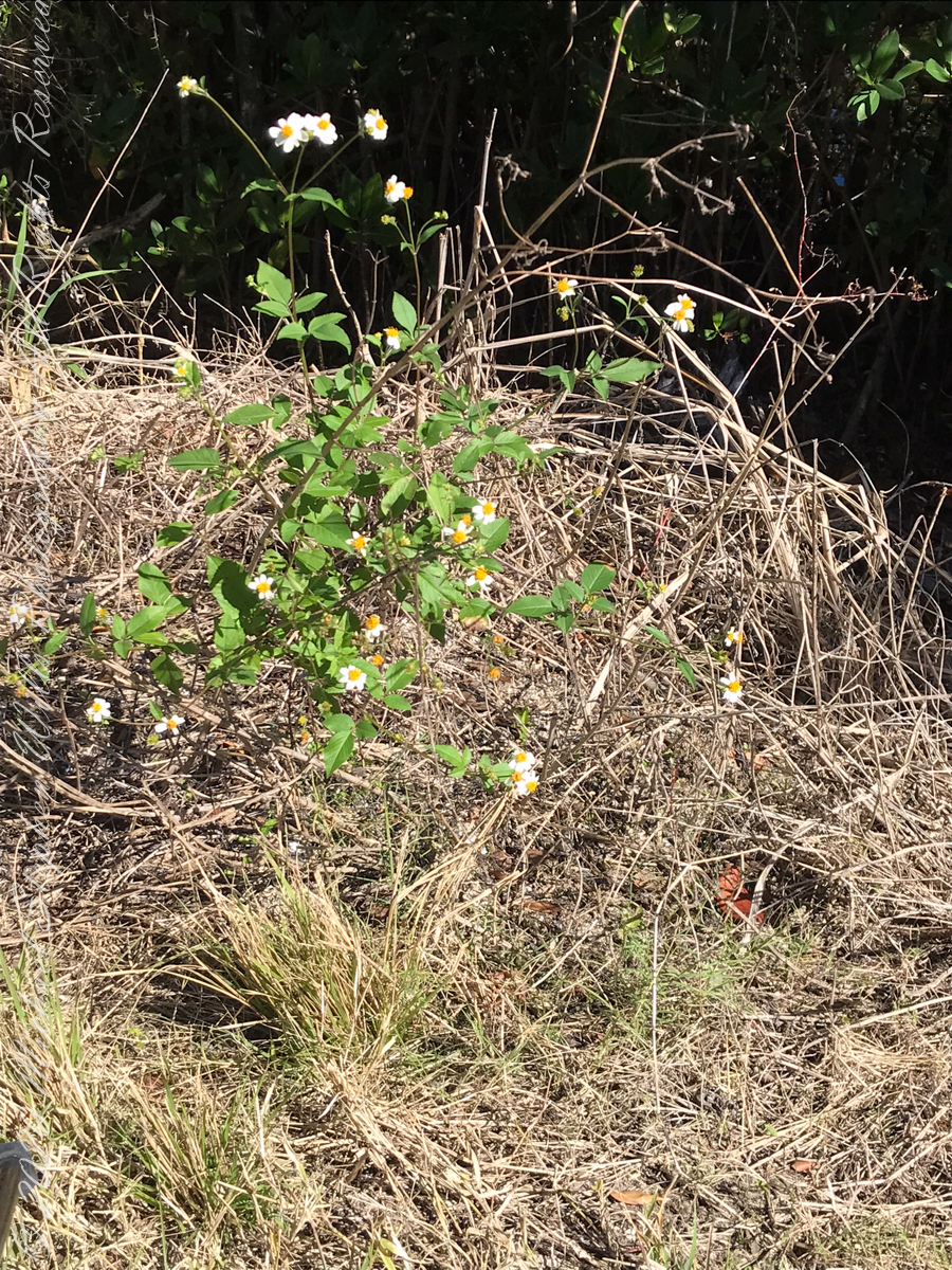
“Flora and Fauna”
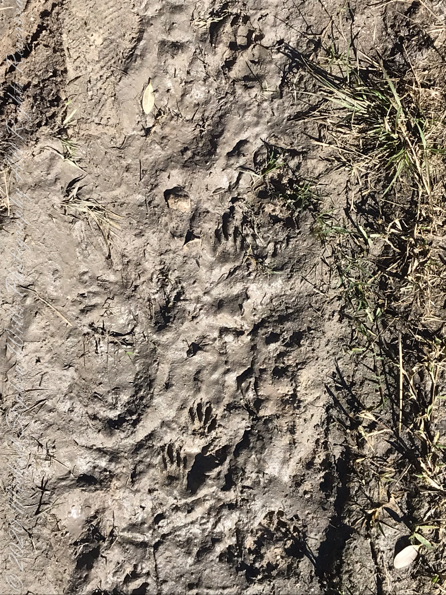
Raccoon Tracks
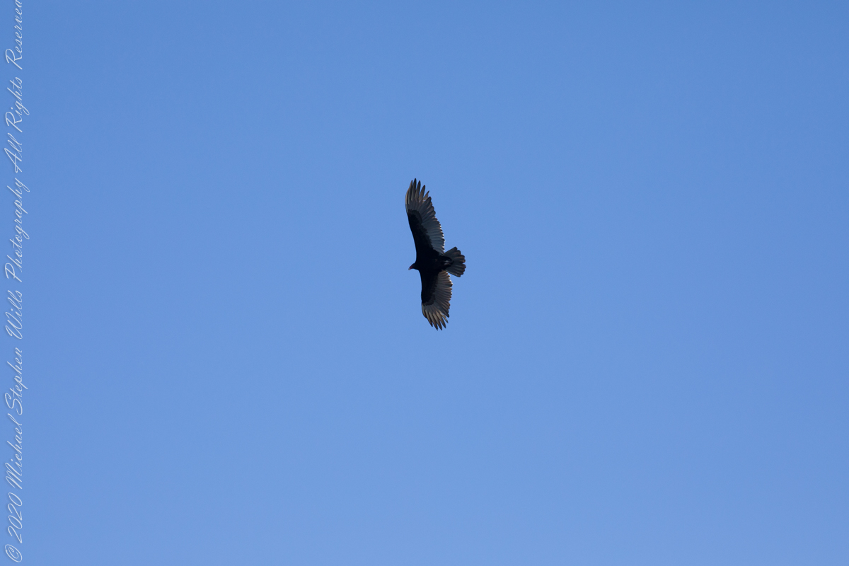
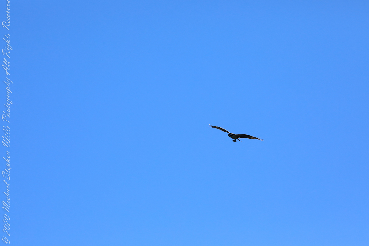
Waterways, sightings
Second Stand
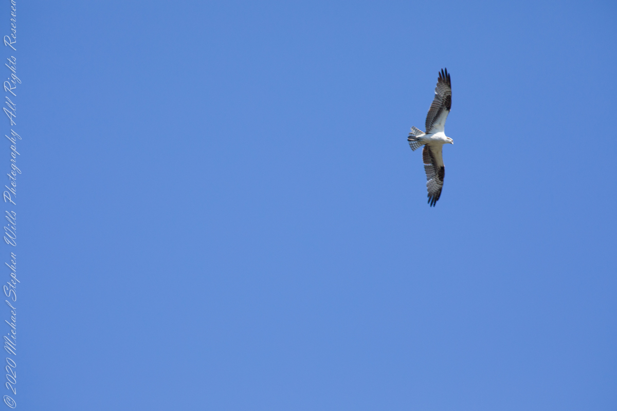
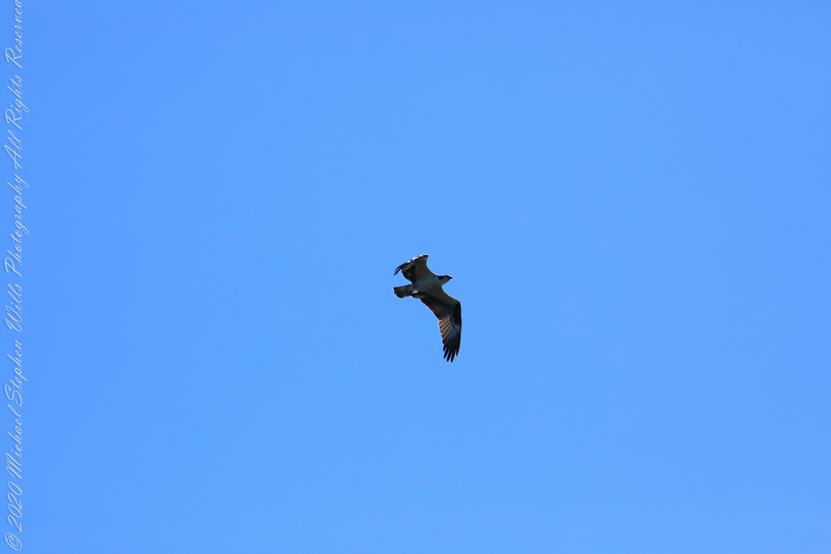
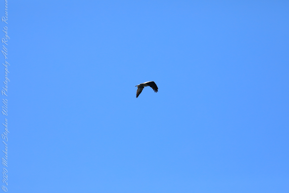
Osprey with catchI see You
Third Stand
Location of third standCivilization across Sykes Creek (really a lagoon).
No sightings of alligators or manatees.
Copyright 2022 Michael Stephen Wills All Rights Reserved
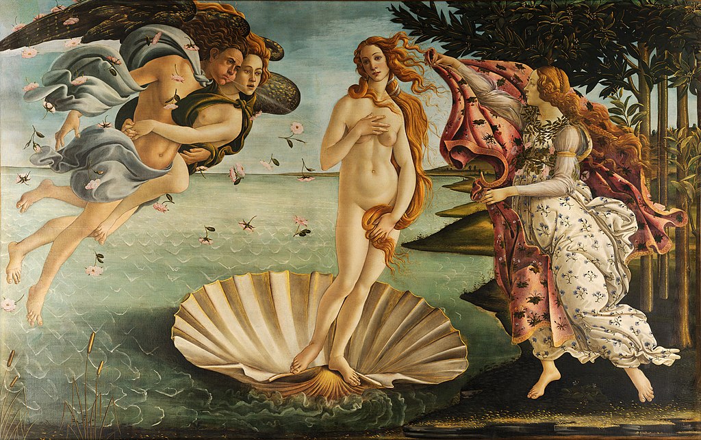
The planet we call Venus has ancient associations with fertility goddesses. The link has persisted at least from the 1600 century B.C. inscribed on Sumerian cuneiform tablets. Three thousand years later the Italian artist Botticelli created in tempura paint on canvas the image of Venus rising from the sea, as the planet Venus does today.
“The Birth of Venus” by Sandro Botticelli, c Late 15th century, Public domain, via Wikimedia Commons
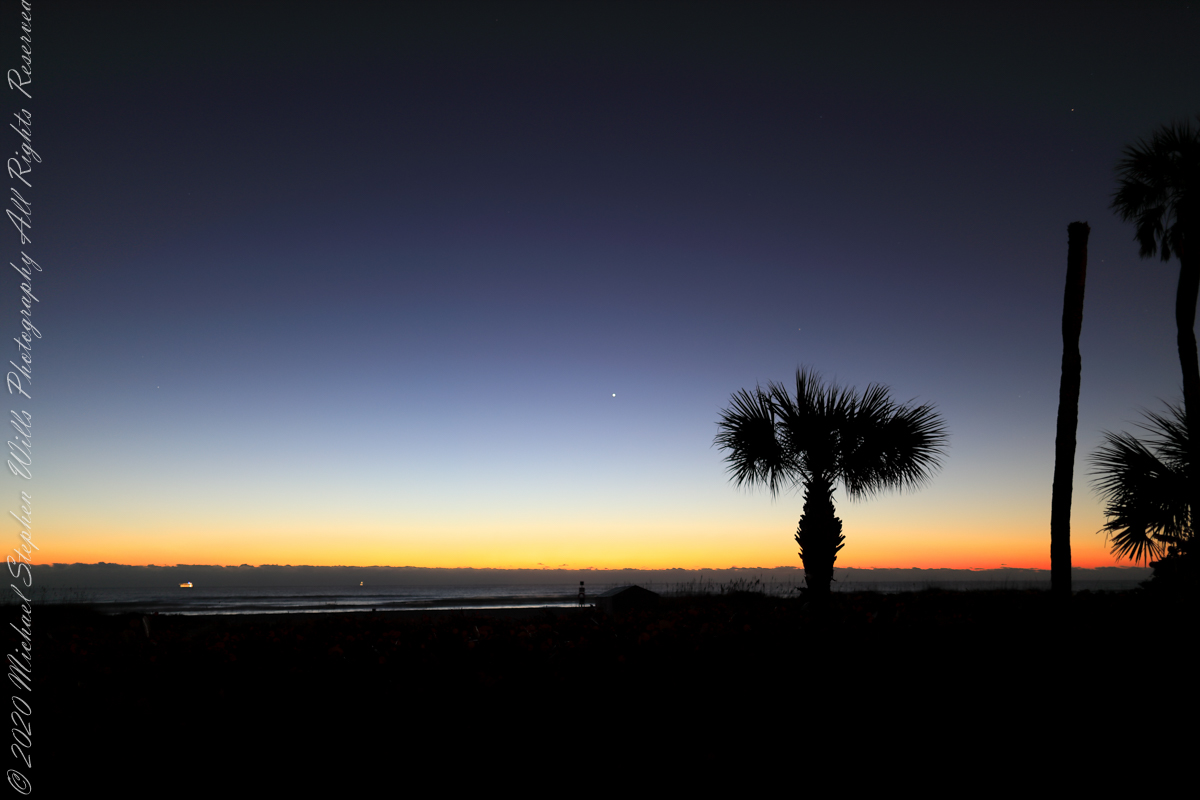
Venus Rising
Here is Venus rising from the sea at dawn January 2022, at its brightest and most beautiful. Some mistake this new light in the east for airplane lights; the bright disk of Venus is 25 times brighter than Sirius, enough to cast shadows at night. As Venus proceeds in its orbit, the planet alternately sets after the sun and rises before it, seemingly appearing new each time.
This February I caught a newly risen Venus in this IPhone 7 video, reflected in the waves. It seemed to be a flashing headlight on the beach, the Venus reflection came and went with the passing waves. Venus is the upper, the reflection is beneath. Use the lower right control for the full view.
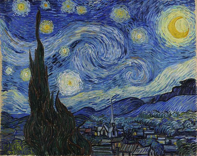
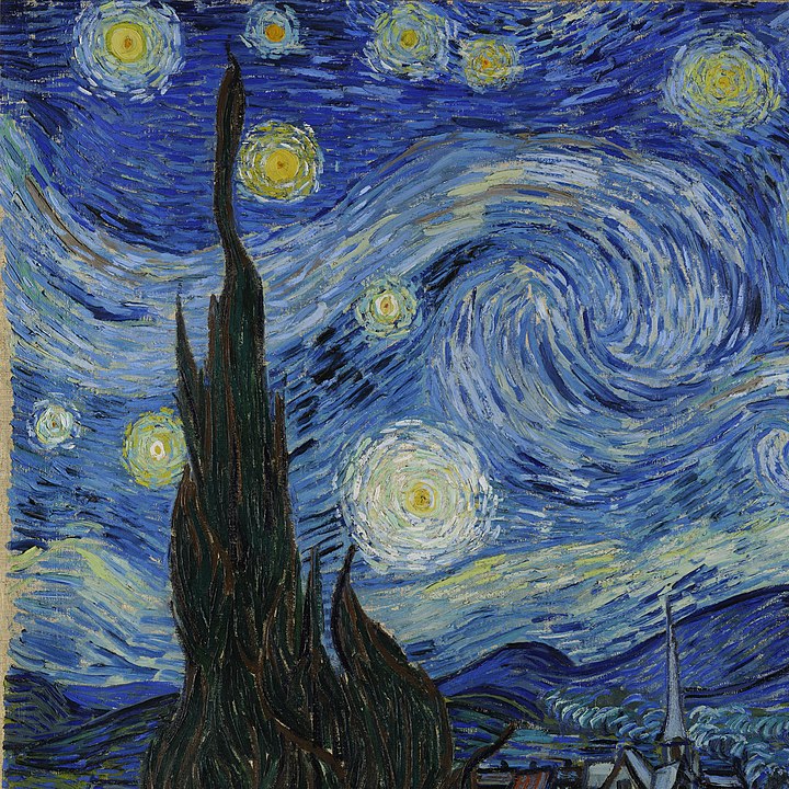
Looking from his window June 1889, Vincent VanGogh included Venus in his “Starry Night” painting, seen to the right of the Cypress tree.
Detail“Starry Night” By Vincent van Gogh – bgEuwDxel93-Pg at Google Arts; Culture, Public Domain
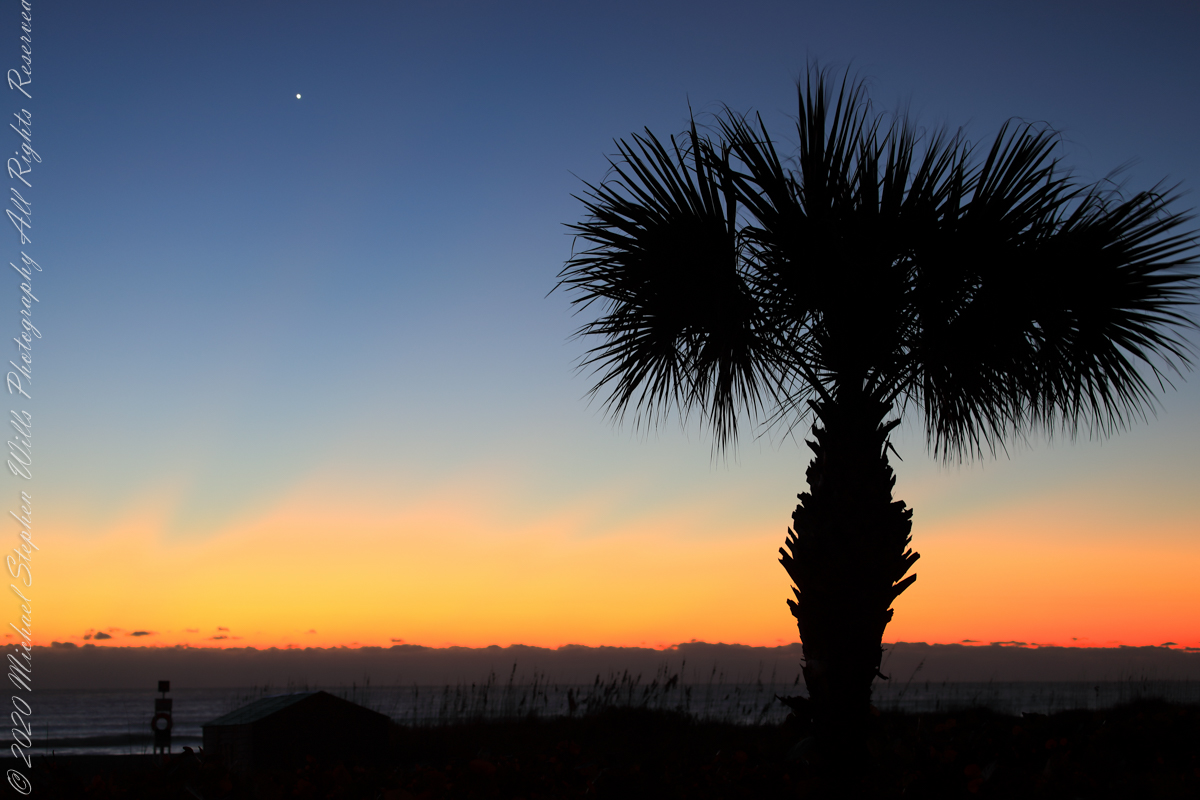
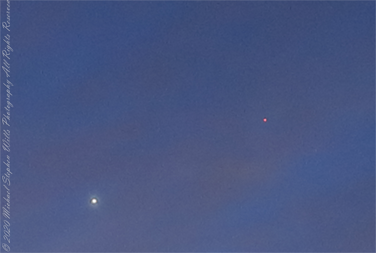
Here is a closer view of Venus last January, the planet disk is apparent, unlike even the closest stars, Venus is seen as a whole object. Click on image for a full view.
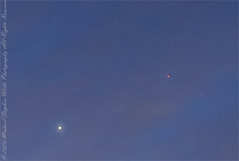
Venus and Mars
Venus and Mars shared 2022’s pre-dawn winter sky. Click on the first image for a full-size view. Mars is seen above the palm tree stump, on the right. In this photograph, from early February, Venus and Mar apparently moved closer. The closeness is an illusion, the planets are millions of miles apart, on either side of Earth’s orbit. Click on the photograph for a full-size view, Mars can just be made out to the right and above Venus.
Click on image for a full view
This crop clearly shows the brightness of Venus compared to Mars.
Click on image for a full view
Copyright 2022 Michael Stephen Wills All Rights Reserved
Thinking about the Aran Islands for my posts, “Killeany Bouy” and “Inisheer Welcomes the 2014 Gaeltacht Irish Football champions” brought me back to Isla Mocha.
Herman Melville’s thoughts were in and around this island off the central Chilean coast when he penned “Moby Dick” in the mid-nineteenth century while sitting in the city of Boston. He was brought Moby Dick not only by his own experiences on a whaling ship, almost certainly Melville owned a copy of Jeremiah N. Reynolds’ “Mocha Dick: Or The White Whale of the Pacific: A Leaf from a Manuscript Journal,” an true-life account of adventures around Isla Mocha. Sometime around 1810 Reynolds personally experienced encounters with Mocha Dick after the crew of an Antarctic expedition mutinied, stranding him at Valparaíso, Chile where he remained for two years.
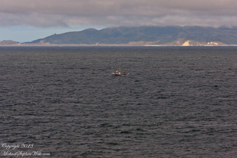
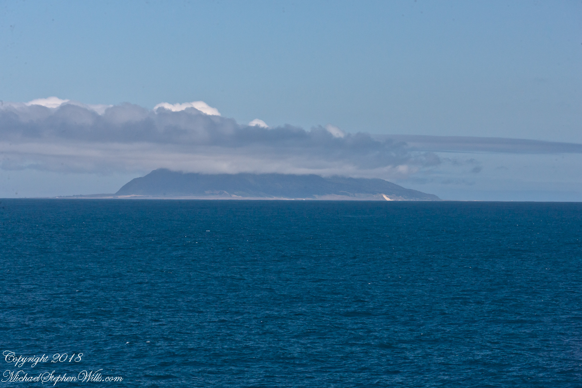
Located 38°21’45.62″S, 73°55’6.91″W, around 8 miles in size north to south, 3.5 miles east to west Isla Mocha is surprisingly simple to find. A ridge of mountains run the north south axis, just 20 miles off the coast, a ship following the coast will find it easily, as I did from the balcony of the Oceania Regatta during a “sea day” of travel between Valparaiso and Puerto Montt.
Since waking that day I was on the lookout for Isla Mocha. In preparation for our month-long cruise around South America every mile of our itinerary was scoured for interesting sights, experiences and information. When I first learned of Isla Mocha (Mocha Island in English) and the connection with Melville reading about it in Boston, just as I was in Ithaca, one of my goals for that day was to catch sight of Isla Mocha as it rose from the horizon.
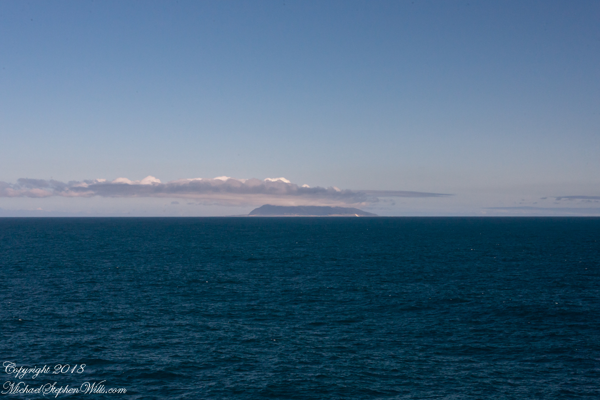
My goal was made easier for the cloud formation from the island mountains. Here is my first photograph, taken from our balcony on the port side. I chose the port side just for the landward view as the ship progressed southward on the western coast of South America. The Canon EOS-1Ds Mark III was tripod mounted with an EF 70-300 f4-5.6L variable lens set to 70 mm. We are northwest of the island with the coast just visible.
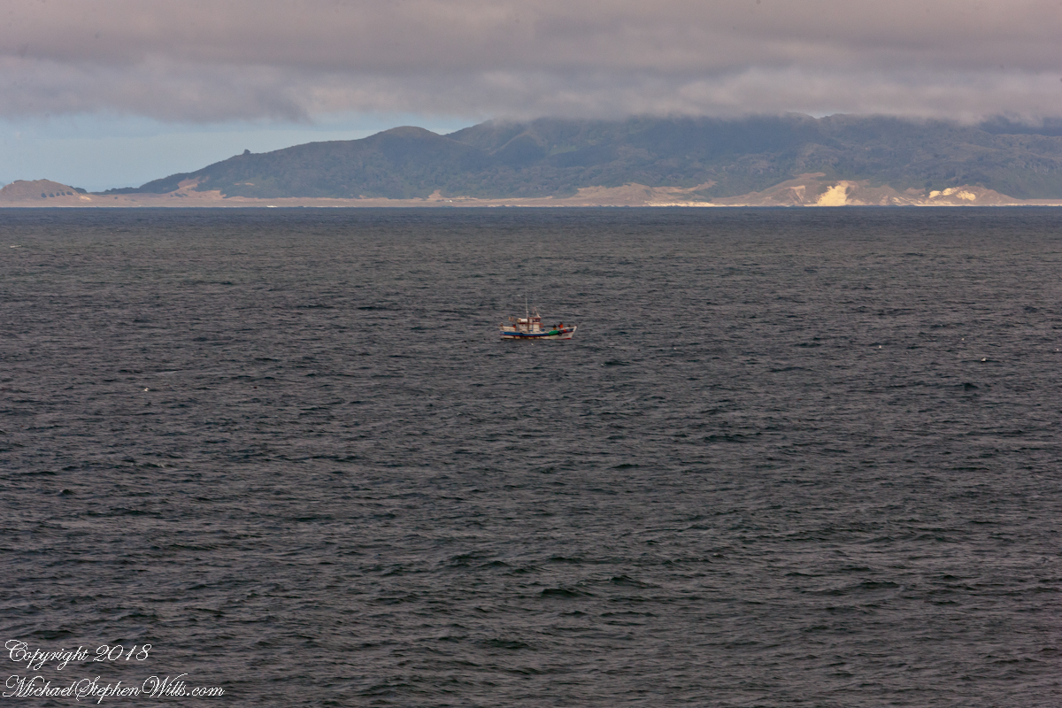
Another view with 188 mm focal length. The ship must have turned eastward, as the view progressed the island came closer. It was a fantastic thought to cruise above the subduction zone where the Nazca plate dives beneath the South American Plate. In the distance, on a clear day, the volcanic cones Villarrea and Quertrupillan are visible.
With the island due east, only a few miles away, the lens at 221 mm focal length. A fisherman is having an easier day in a calm sea. The indigenous people told stories of the souls of the dead travelling west to Isla Mocha. Pirates used the island as a resupply base. The fishing boat was the only sign of life.
That was February 14th Valentine’s Day. With Isla Mocha passing into the distance I changed for an evening with Pam. Here we are headed to dinner, somewhere off the coast of Chile’s Lakes (and volcano) region.
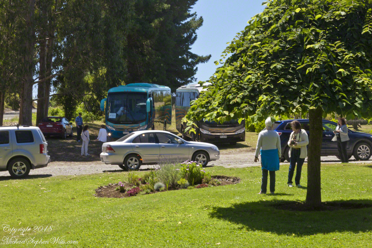
Our tour of Chilean Lake Country and Volcanoes began from the harbor of Puerto Montt, in the tender we boarded from the ship Regatta. This is a small boat carried in the hold and deployed to transport passengers to ports without docking facilities. Once on land, we met our guide for the day and boarded the bus.
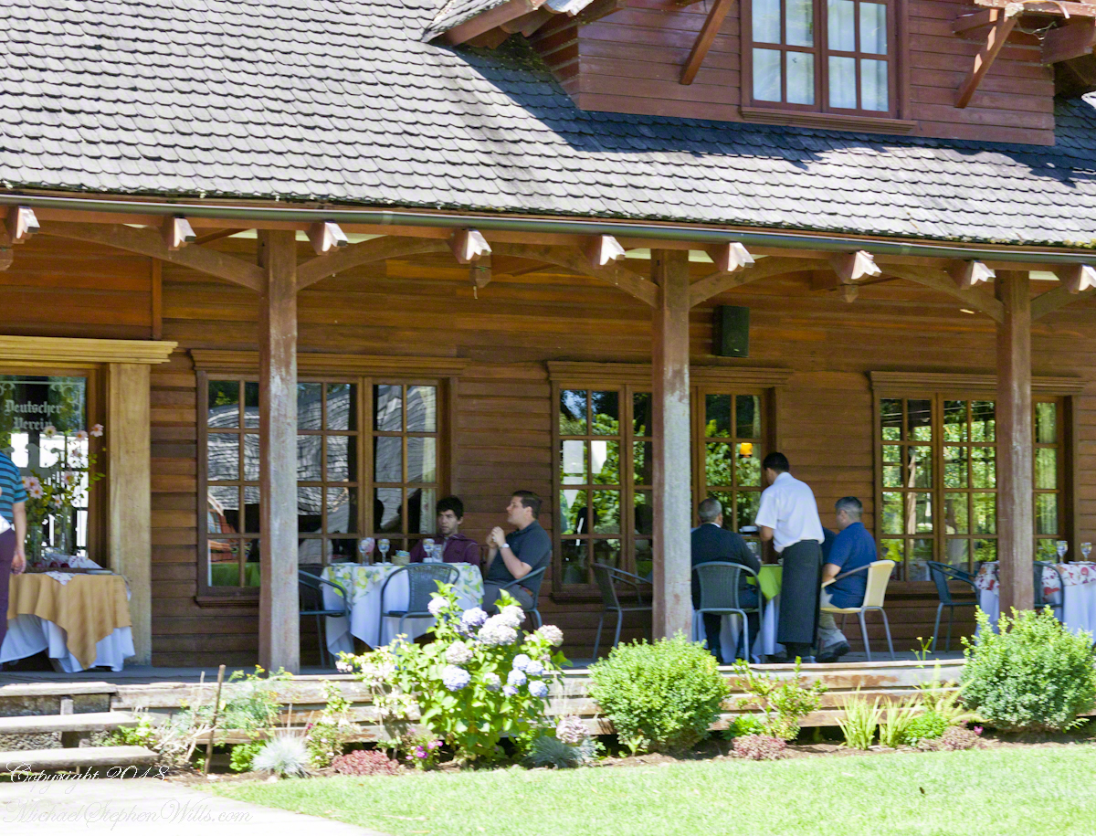
I have yet to post about our first stop, Puerto Varas, a 20 minute ride and our first exposure to the influence of 19th Century German settlers seen, from our bus windows, in the architecture. Today’s post is about our lunch stop, a restaurant half way between Puerto Varas and Ensenada.
Click any photograph for a larger view.
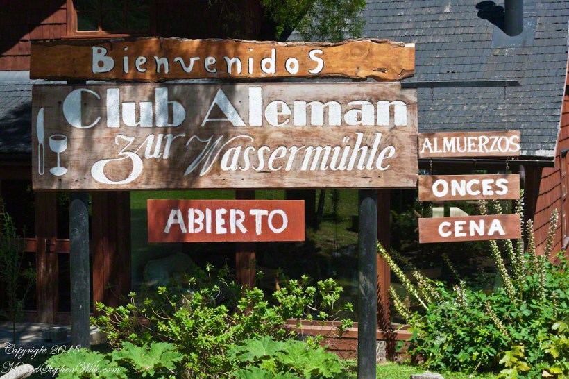
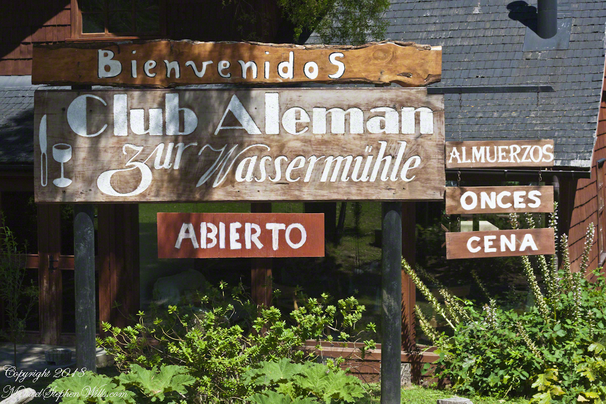
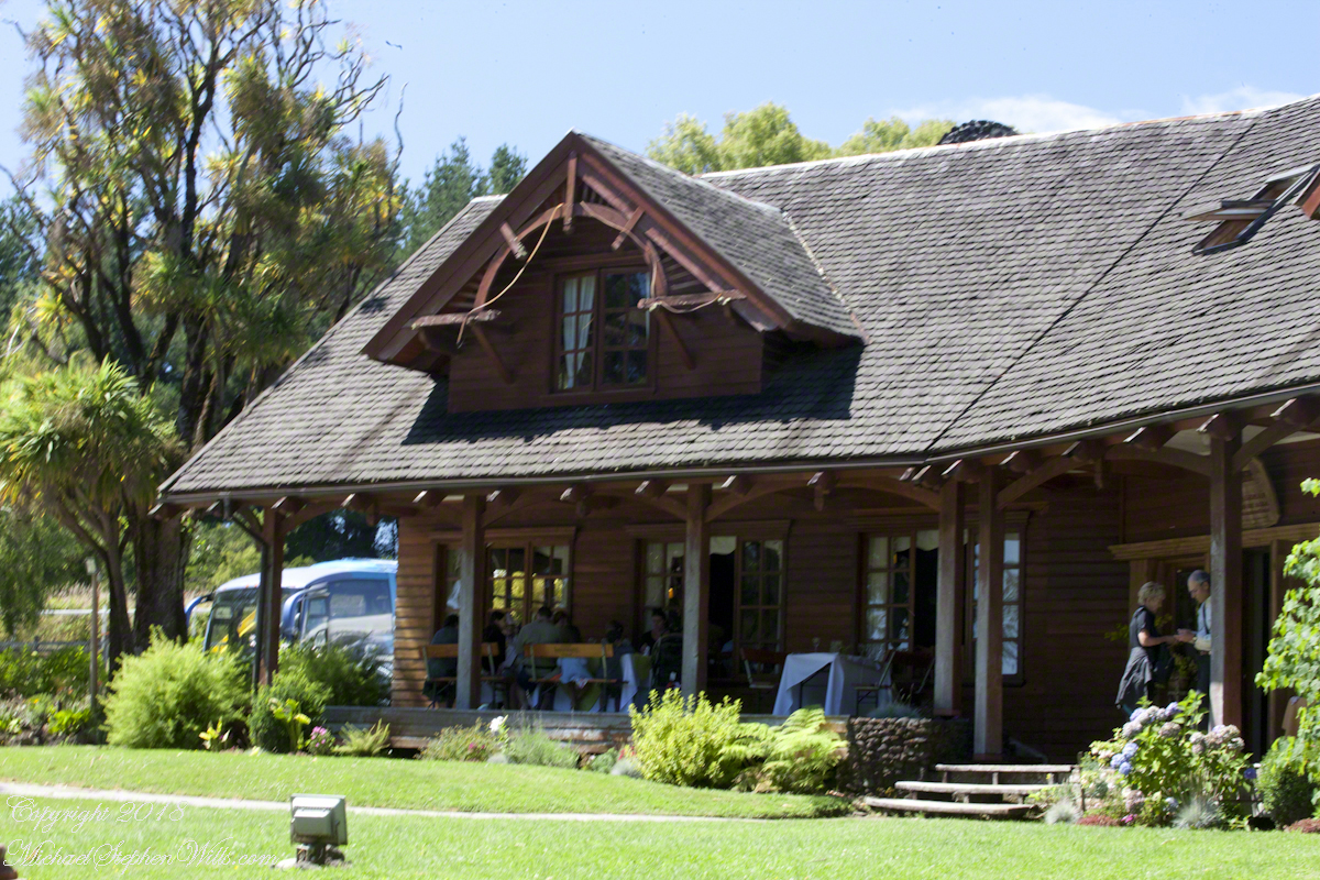
Club Aleman Molino de Agua
Club Alemans (German Clubs) are found in Puerto Montt, Puerto Varas, and here. Each is a gathering place for locals to celebrate their heritage, a feeling somewhat diluted over time to where, now, they speak of themselves as “Chileans of German extraction” and the great majority speak Spanish at home and are exposed to the German language as school courses.
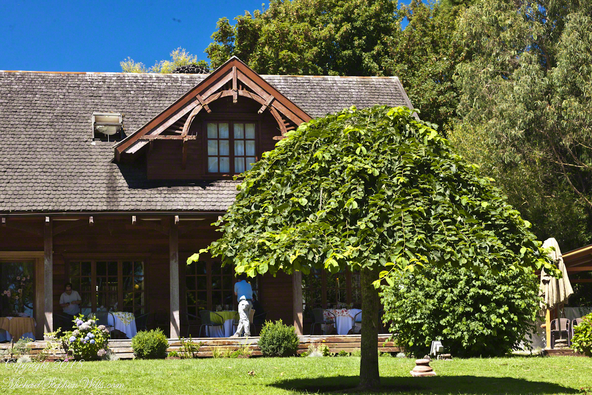
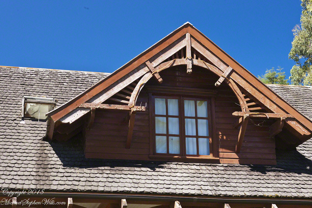
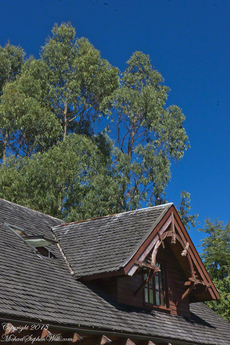
For past generations, the link was stronger, German was the language spoken at home and there was homesickness for the cultural traditions left behind and somewhat alleviated by the similarity of Chilean Lake Country to foothills of the Alps. Once established, the settlers duplicated the architectural features using local wood. Notably, many houses are clad with shingles from the Alerce (also known as Fitzroya cupressoides), a type of Cypress native to southern Chile and Argentina. The roof shingles of Club Aleman, seen below, were of this type.
The sign translates to “German Club: to the watermill” from the two languages used: Spanish and German. The sign reads “lunch, dinner, late night.” “Onces means Late Night.
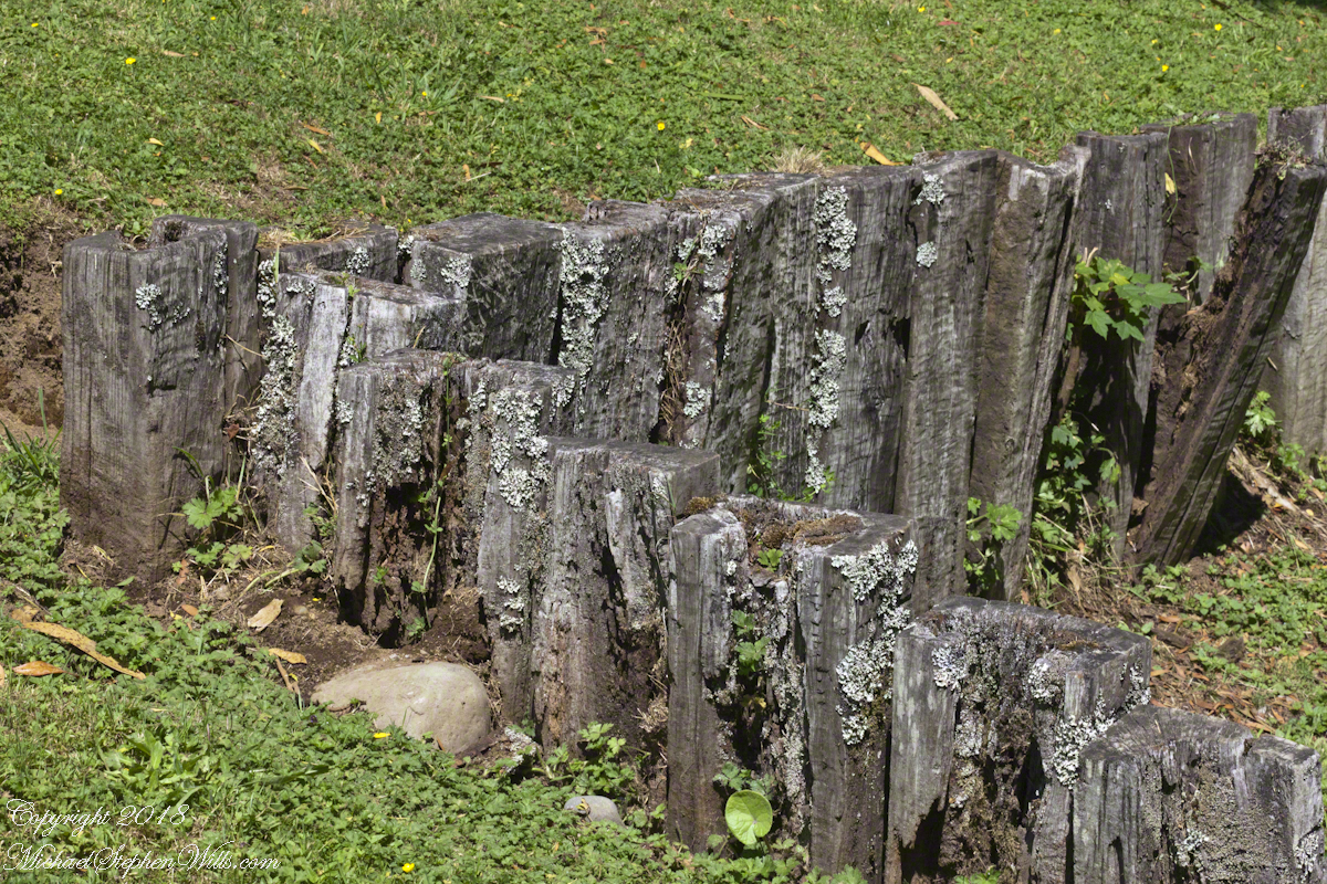
The “watermill” is a nostalgic, sentimental reference echoed in architectural and decorative details throughout the property, such as this series of posted set to suggest a device used to control water flow. There is no water flowing through the property.
Our lunch was excellent Chilean fare, but I don’t recall what it was, exactly and I didn’t photograph the interior. For us, an plus of using these cruise tours is all the details are taken care of, releasing us to maximize our enjoyment of the surroundings.
A dark side to these settings was the attraction the area had to un-remorseful Nazis fleeing war crime prosecution. In Chile and Argentina they found refuge in the 1940’s, 50’s and were supporters of the Pinochet dictatorship. None of this history was presented by our excellent guide, nor was it reflected in these rustic charms.
I was fascinated, for some reason, by the two dormers of the main building root with the wheel-like decoration.
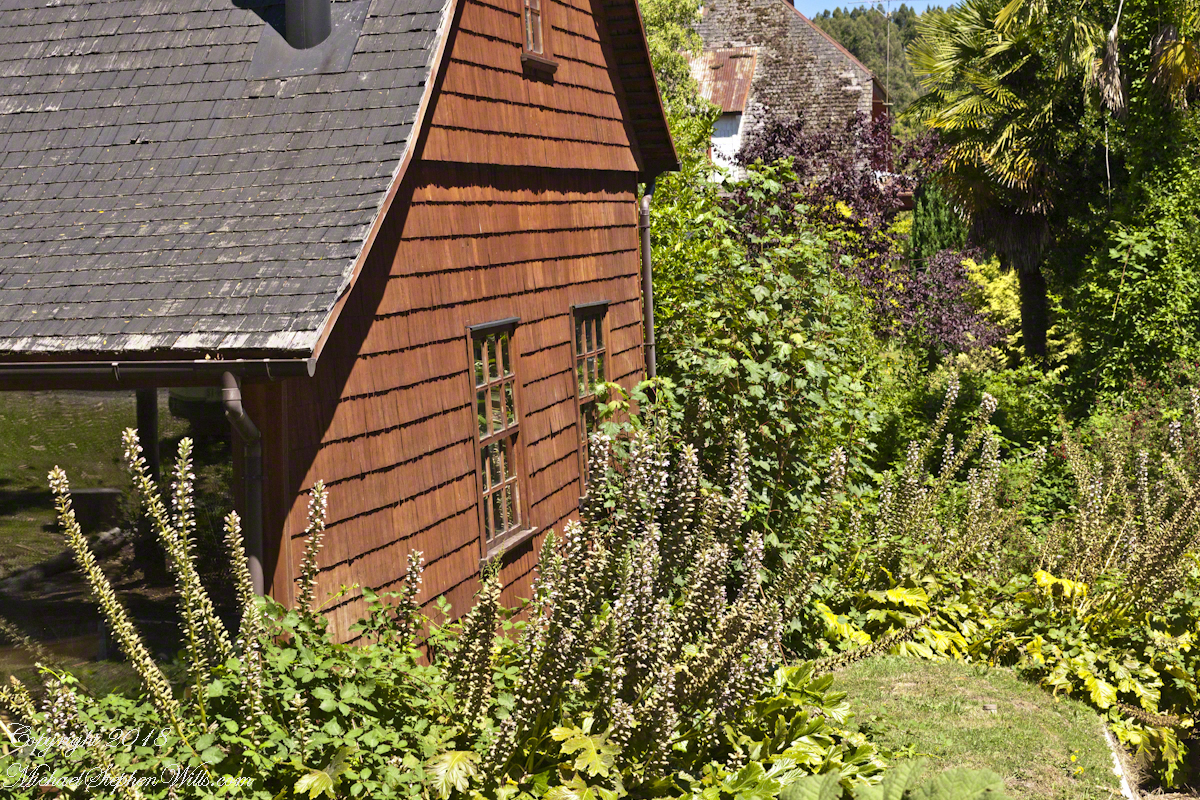
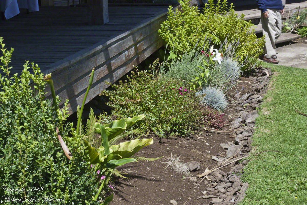
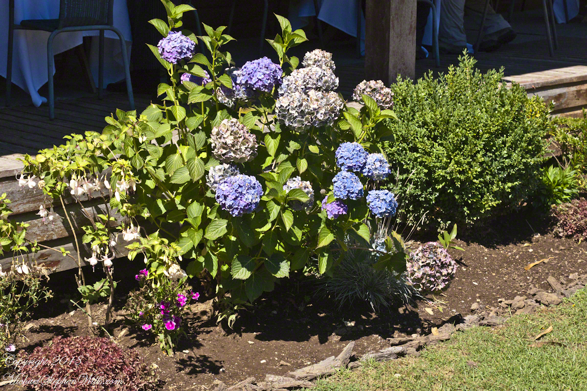
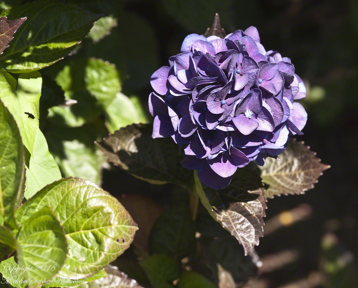
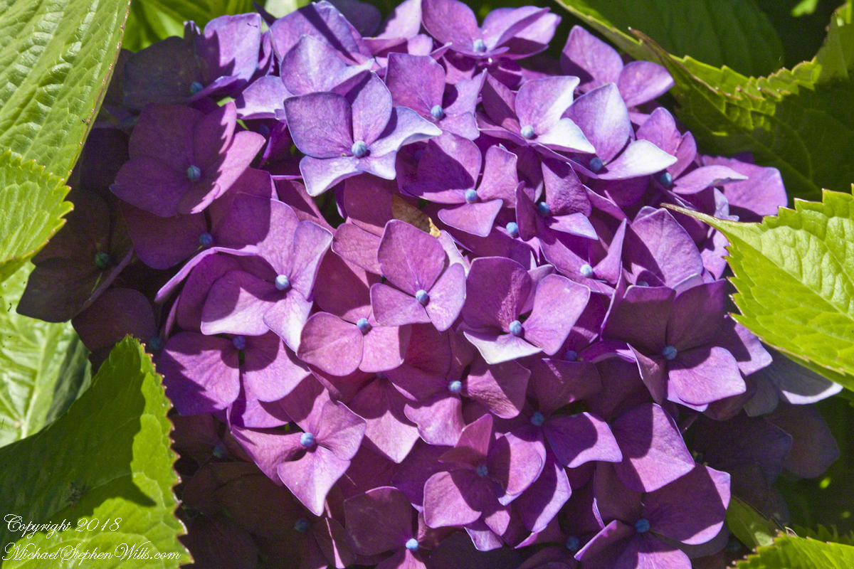
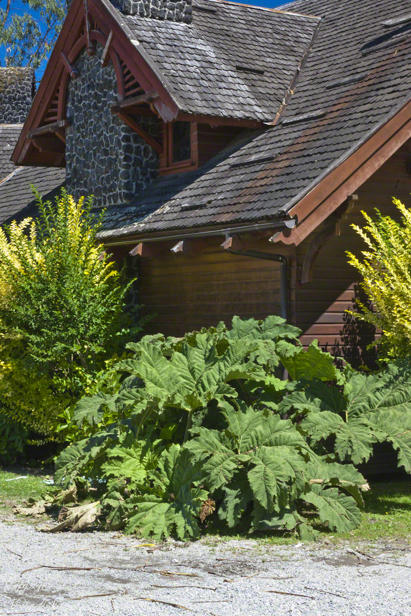
The Garden
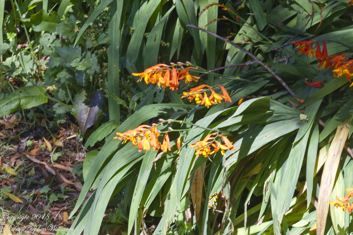
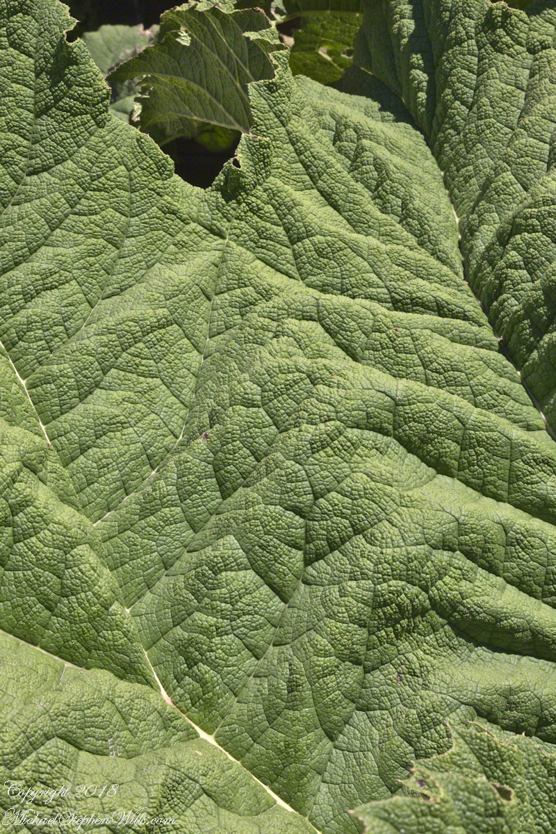
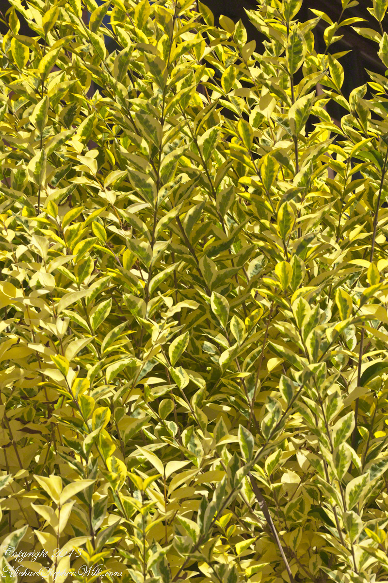
A native plant encountered frequently in our travels, growing wild, and here.Close-up of the shrub growing to either side of those large leaves.
Copyright 2022 All Rights Reserved Michael Stephen Wills