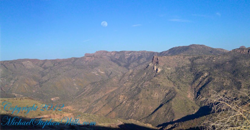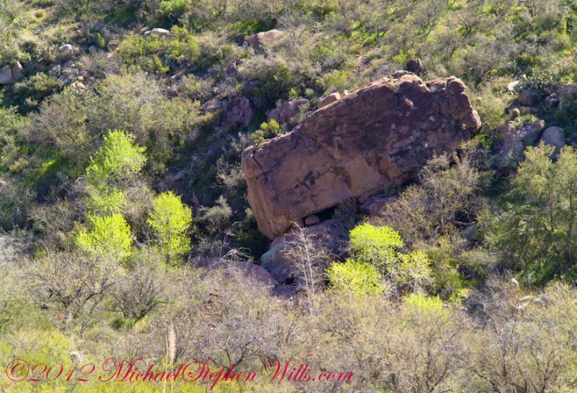
Hoodoos on the Descent to Reavis Falls

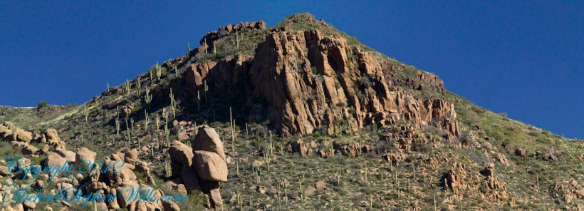
layers of stone weathered over eons by water, wind, sun and cold

My previous post, “Dry Juniper Descent” had me above the ridge of the featured photograph.

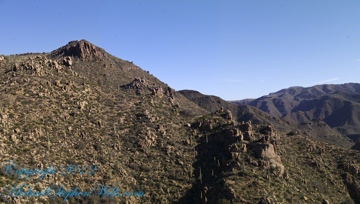
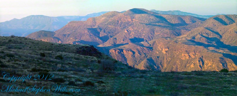
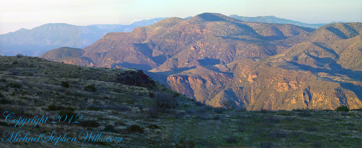
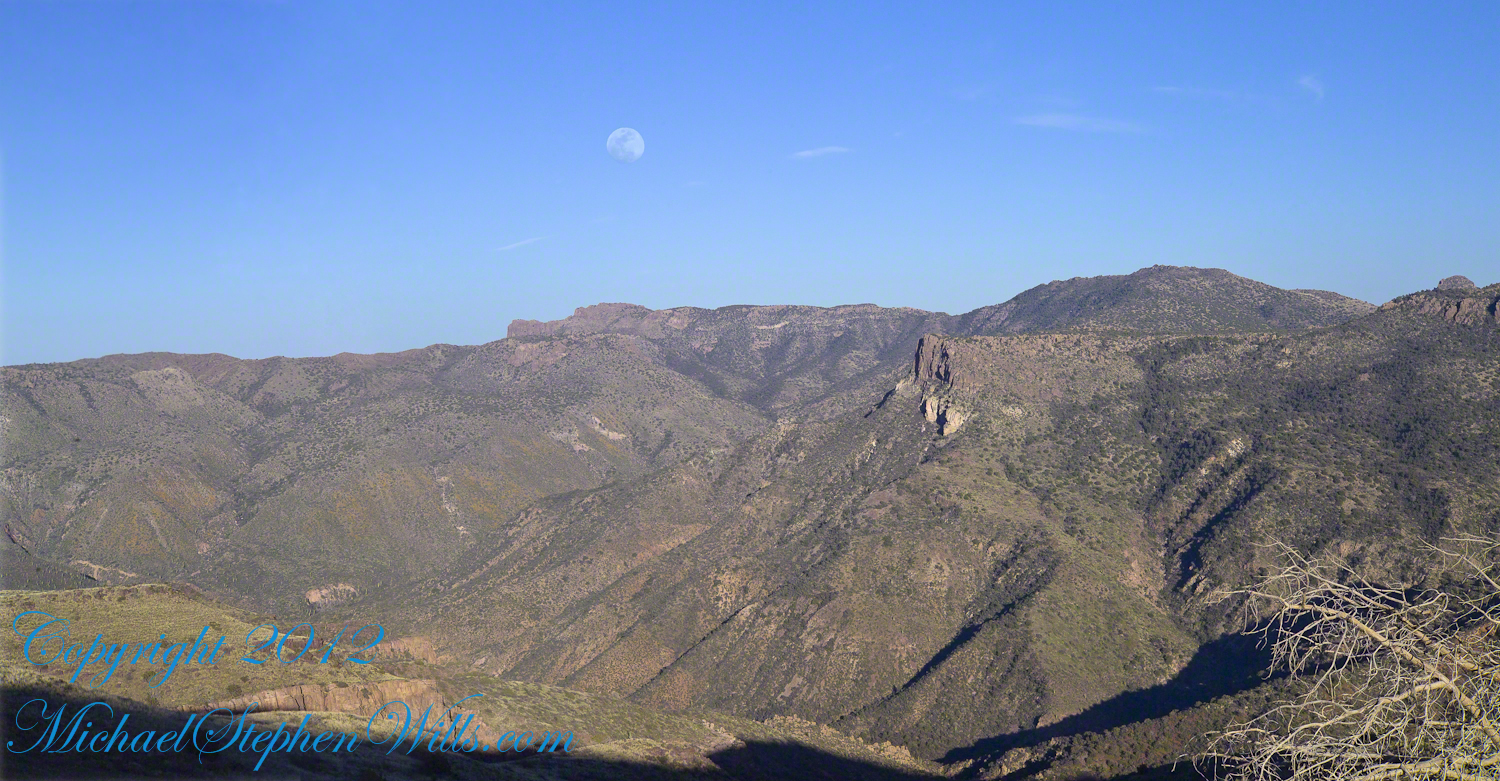
I interrupted my descent to Reavis Falls to stop on a ridge overlooking Reavis Creek, the same ridge that forms the western wall of the canyon.  By this time it was late afternoon on a March Day with the angle of the sun being perfect for capturing rock formations.  Notice the effect of the light on the distant mountains.

This is the North / Northeast view of the opposite ridge above a flow from multiple springs on Lime Mountain.

This photograph was created from multiple images using tripod-mounted Kodak DCS ProSlr/c with a 50mm, 1.4 Canon lens.

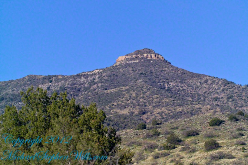
Cedar Basin hoodoos on the slopes of Lime Mountain
Click Me for my Online Gallery

Hoodoos

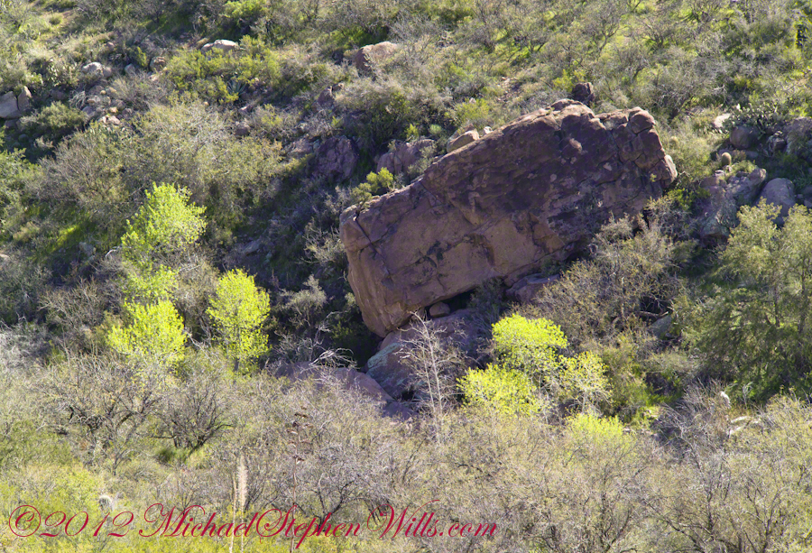
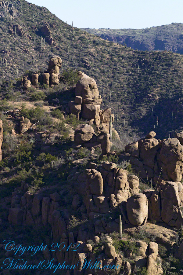
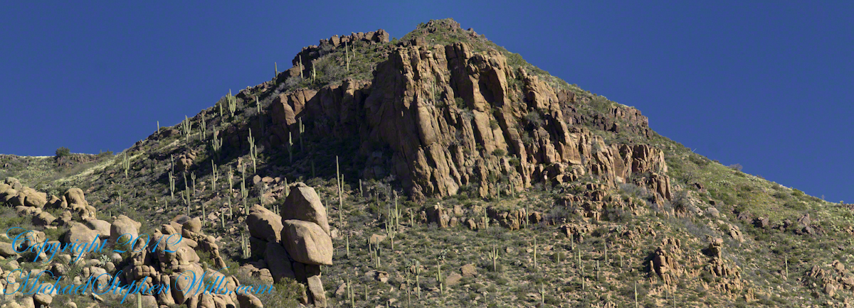
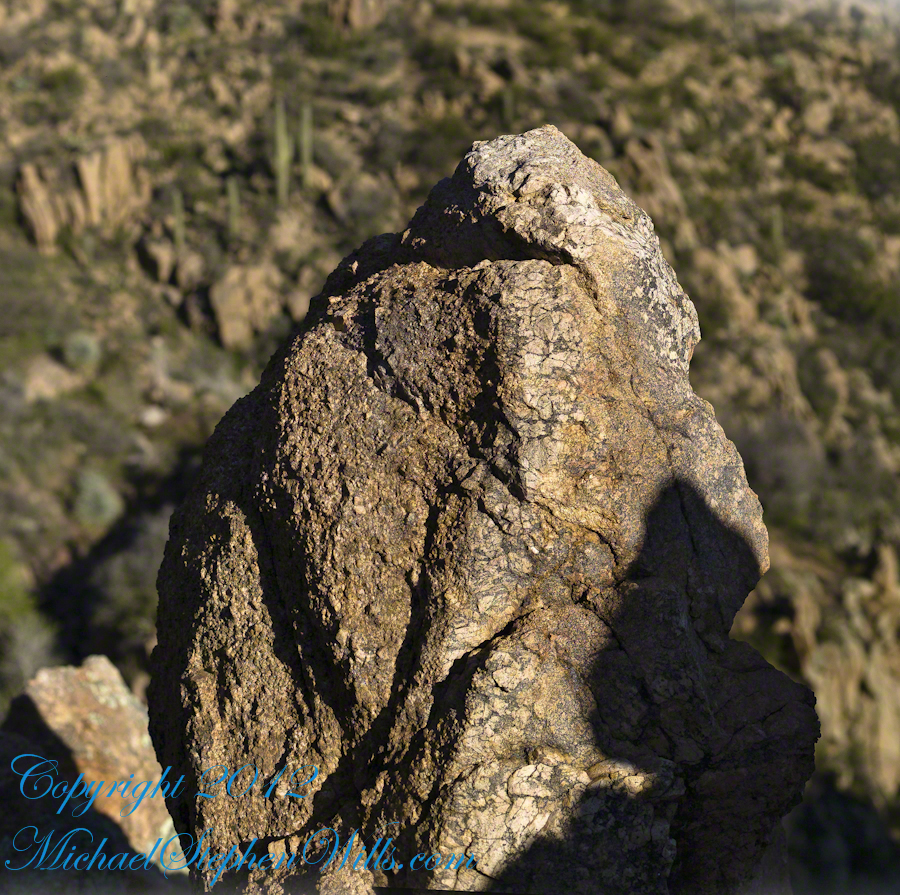
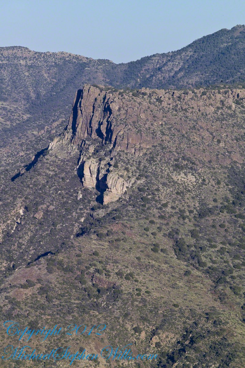
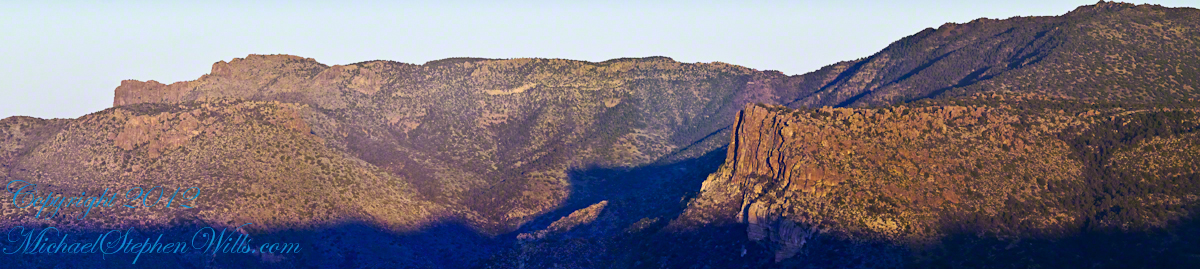
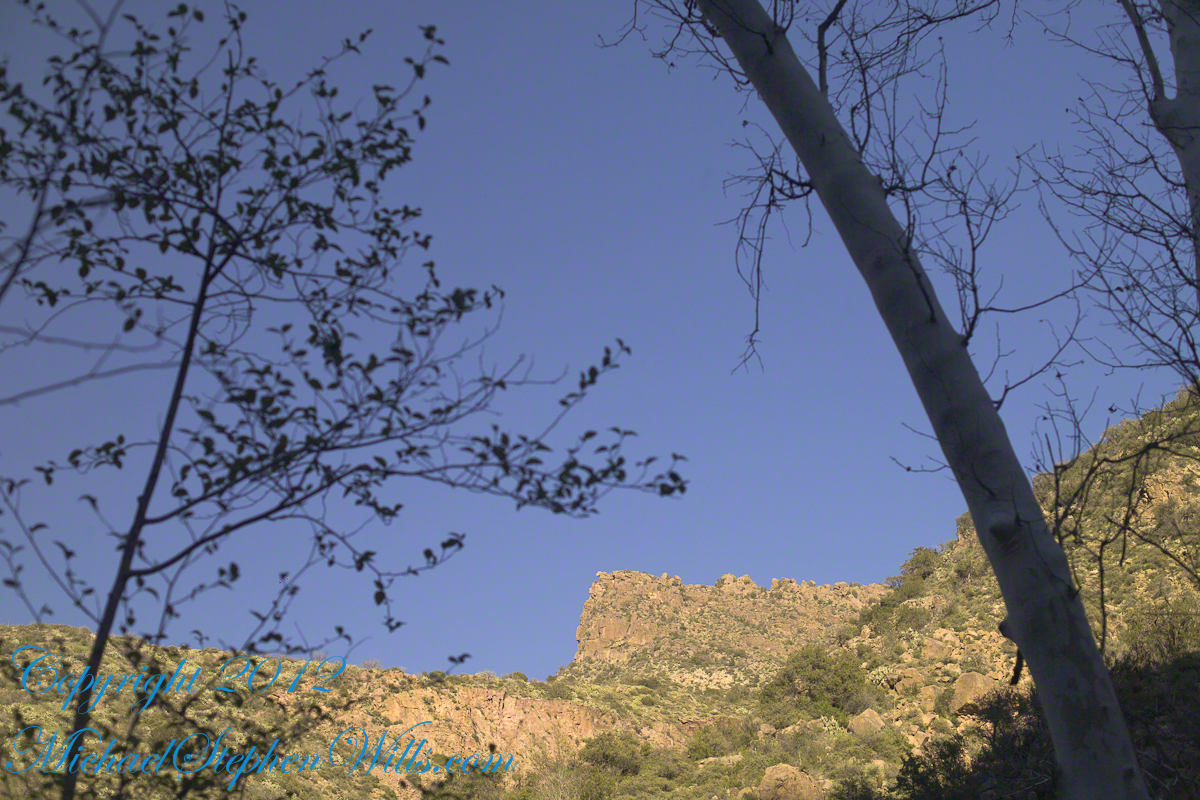
The ridge and slopes are covered with a rock formation named Hoodoos for the fantastic shapes taken on by layers of stone weathered over eons by water, wind, sun and cold.  These hoodoos are enormous, some precisely balanced and carved into elaborate shapes.  The word “Hoodoo” derives from the name of the practice of sorcery or folk magic.  You can image the effect on ancient people of coming upon these formations and believing them created by malevolent beings (djinns, goblins, demons) in their leisure time, when not causing problems, and worse, for humans.  These beings are especially active in desert places, such as this, which has the comforting name of Cedar Basin.

The hoodoos cast a spell on me.  I had never heard of Cedar Basin, but knew, as the sun was low in the west, I needed to unload my 70 pound pack, set up the tripod and camera to spend over an hour of precious time to capture the images of this blog.

Ancient Village

Cedar Basin forms on one side from the ridge of this photograph. On the other side of the ridge, the mountain slope levels out to a site settled by ancient people we call Sin Agua.  There is nothing but a few stones left of their village and way of life.

Cedar Basin

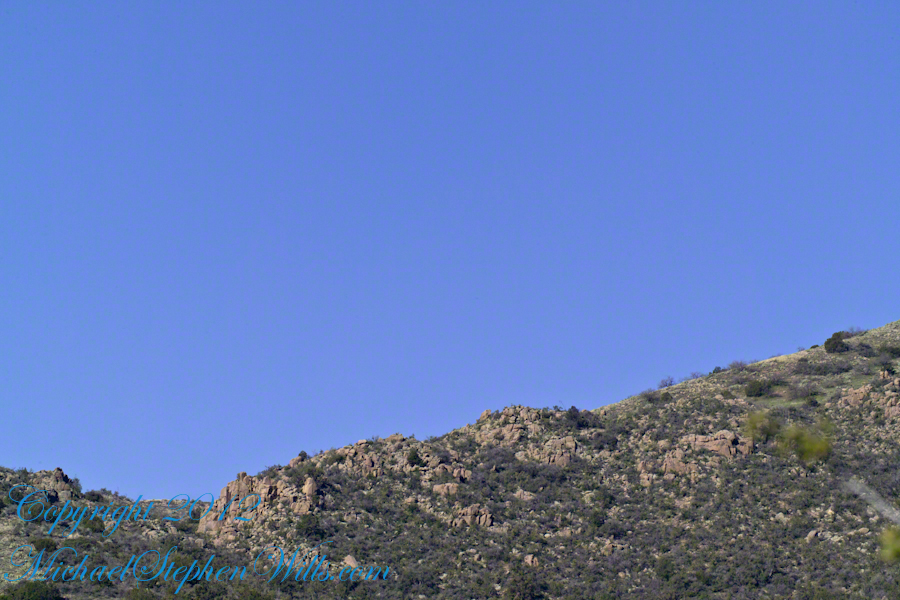
Looking to the left of the Hoodoo Panorama photograph and into Cedar Basin, you see more of that same rock type that formed the hoodoos to the right on this same ridge.  This is also the lower slopes of Lime Mountain, as you can see from the color of the upper ridge.

The Slopes of Cedar Basin

This and the following photographs were created using a tripod-mounted Kodak DCS ProSlr/c with a 200mm, 1.4 Canon L type lens.

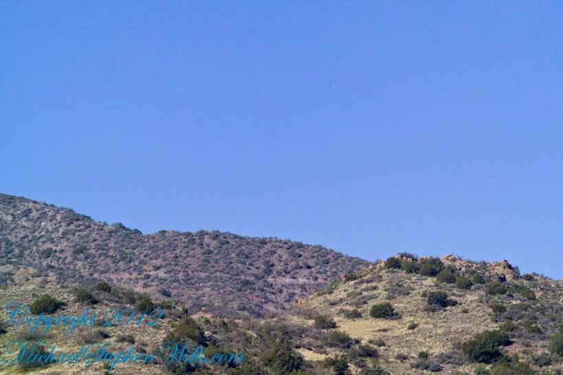
Another side of the basin is formed by the ridge I am on.  This side is across from the canyon of Reavis Creek and Falls.  The trail leads down switchbacks from the Dry Juniper of my previous post to a dry draw.  You can see the way I came in the following two photographs.  I captured Castle Dome, then panned to the right for the rest of the ridge.  You can see the trail to Reavis Ranch carved into the slopes of Castle Dome.

Castle Dome Ridge and Reavis Ranch Trail

Cedar Basin and Castle Dome

I then panned one more time to the right to capture the ridge above Cedar Basin and the start of the hoodoos.  It was an army spread across the entire ridge!!

Cedar Basin and Castle Dome

My next posting will feature close-up of the most interesting hoodoos from the panorama, using a 200 mm telephoto lens.

Copyright 2023 Michael Stephen Wills All Rights Reserved

Dry Juniper Descent

One-seed Juniper

On my fourth morning, after I awoke to am immense silence, my first photography subject was the lone dry juniper you see below.

Then the dawn lit up the far mountains.  You can view a larger image these mountains at dawn in my previous blog, “Superstition Wilderness Dawn.”

A Lone Dry Juniper

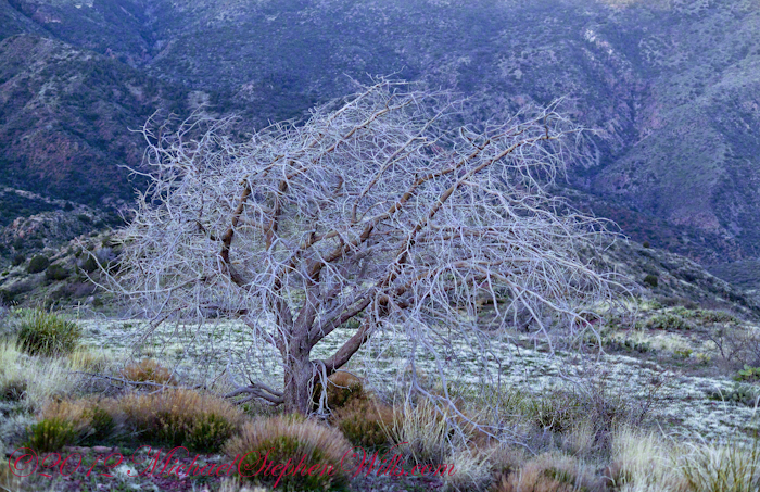
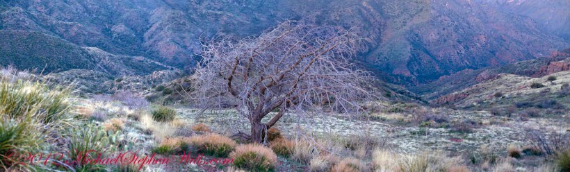
This is a photograph of that juniper tree, dryer than most, being dead.  I take it to be a One-seed Juniper from the thick growth of branches and the strong rounded aspect of the crown.  I captured this photograph from a tripod mount using a Kodak DCS slr/c with a Canon EF 50mm f/1.4 USM lens.

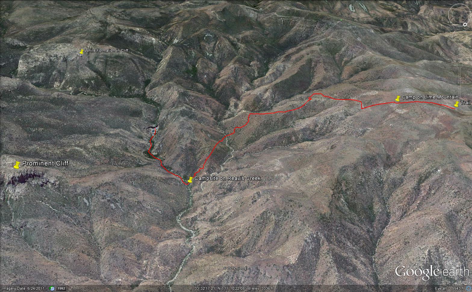
Looking into Reavis Creek Canyon from Lime Mountain

I used the tripod to bracket this shot on the left and right for the following panorama.

The Reavis Creek Canyon from Lime Mountain while still in shadow, morning

The Spirit of Elisha Reavis

From this vantage you can see my route into Reavis Creek Canyon and Reavis Falls taken on the first afternoon of the expedition.  That first morning I loaded up 65 pounds of food, supplies and photography equipment and headed out from the Reavis Trailhead on the Reavis Ranch Trail.  This was one of the trailed used by Elisha Reavis to ride a favorite burro and a string of 8 to 15 burros loaded with vegetables he sold to various communities throughout central Arizona.  See my blogs “A Ride to Reavis Ranch” and “Apple Orchard in the Wilderness“for views of the paradise (as of the early 21st century) where Elisha Reavis, lived and prospered in the latter part of the 19th century where he lived his 70’s.

This his mountain valley, using a perennial creek, Reavis cultivated and irrigated about fifteen acres of land by himself with chickens, turkeys, hogs, burros, two horses and several dogs.   The horses, teamed together, pulled a shear plow, disc and leveler.  On April 9, 1896 Reavis was preparing of another trip to Mesa, to buy seed potatoes, and was found by a friend a month later on what is now the Reavis Ranch trail, to the south and west of his valley, near what is now called Grave Canyon were friends buried him.

Past the Dry Juniper and Down

102 years later, I headed up the Reavis Ranch Trail, over the ridge of Lime Mountain and past this dry juniper in the same spirit as Elisha Reavis if for a different purpose.

Reference

An excellent article on Elisha Reavis by Tom Kollenborn, author of “Lost Dutchman Gold” and “Circlestone”.

Copyright 2023 Michael Stephen Wills All Rights Reserved

Superstition Wilderness Dawn

on the slopes of Lime Mountain

Pre-dawn on the fourth morning of my solo expedition to Reavis Falls, before the last posting “Among the Desert Wildflowers“, on the slopes of Lime Mountain, as the eastern sky became slightly less dark, I woke to an unusual sensation:  total silence.  The air was absolutely still, no insects trilled, the birds were still asleep.  Lying very still, the ringing of my ears announced the silence.

In that silence I set up for this panorama taken from a tripod-mounted Kodak DCS ProSLR/c mounted with a Canon EF 200mm f/2.8L II USM telephoto lens.  It is 5 image files combined.  The source file is about 300 MB.

That is Pinyon Mountain in the center distance.  The Arizona Trail traverses that terrain, though it is not visible from this distance (it is about 3 miles away).

Lime Mountain is truly a light green, as you can see from the foreground ledge.  From there, a cliff runs round where on a south-facing site there are cliff dwelling ruins.  The trail to Reavis Falls runs to the right, along a ridge broken by a narrow canyon with access to Cedar Basin, also at the foot of these cliffs.

Copyright 2023 Michael Stephen Wills All Rights Reserved

Evening on Two Bar Mountain

Shadows rising on the canyon walls

Another blog from my four day solo expedition to Reavis Falls in the remote eastern Superstition Wilderness. Here we will descend briefly to the canyon of Reavis Creek, below the Reavis Falls.

My previous blog Two Bar Mountain View featured this same landscape. 

Shadows rising on the canyon walls are from Lime Mountain and Castle Dome.  In the far canyon, below Two Bar Mountain, is a shadow from the notable cliff and prominence to the right, that rises above Reavis Falls, fall below and out of sight in the canyon.

Here is that prominence from that same day, late afternoon when the sun is just starting to be low enough to throw the cliff into relief. This is a single shot with a canon 200 mm lens. This day I had climbed out of Reavis Creek, up to to this point on the slopes of Lime Mountain. Here I enjoyed an afternoon, evening, night and early morning of the following day.

The second day of the solo expedition, I hiked into the canyon of Reavis Falls from a camp at the canyon mouth. Looking up from the creek this same cliff was prominant against the sky.

Copyright 2023 Michael Stephen Wills All Rights Reserved

Two Bar Mountain Views

Superstition Wilderness

Two Bar Mountain is only part of this view taken the evening of Day Three, my solo expedition to Reavis Falls in the Superstition Wilderness of Arizona.

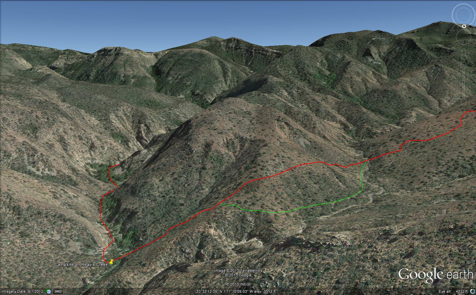
The view encompasses most of the four day expedition, being the climb into the lower Reavis Creek Canyon from which I camped.  I spent one entire day walking up the valley to the falls.

The patches of yellow on the far slopes to the left and into Reavis Valley are Mexican Poppy (Eschscholtzia californica) blooms.

To find lower Reavis Creek Canyon, look for the prominent cliff formation in the very center of the image.  Follow the end of the cliff down to a dark shadow.  The western canyon wall creates the heavy shadow.  As you move to the right, in the image, the shadow becomes wider because the canyon wall becomes higher.

The view also encompasses a 2005 solo expedition over Two Bar Mountain using the Tule and Two Bar Ridge trails into the Superstition Wilderness around Pine Creek.  See my blog “Racing the Sun” for an image Two Bar Mountain with the path of (most of) two days of that expedition.

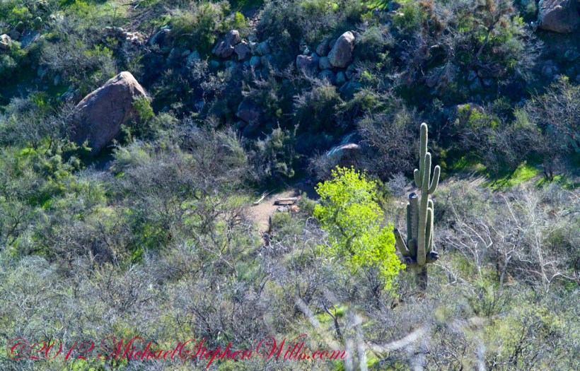
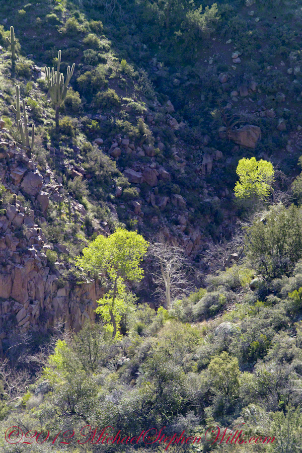
An interesting feature of the full size image (lost in the small-scale reproduction of this blog) is the host of enormous saguaro cactuses marching up the sides of the canyon to the left, thinning out and ending on the western walls of the canyon (the slope directly beneath my viewpoint).  Our course, each cactus is perfectly still, casting a huge shadow, and seems very tiny.  The nearest is a mile away.  We are seeing in this thinning host the lower Sonoran in transition to the upper Sonoran life zone.

All of this in one view from Lime Mountain. Here is another, taken just as the sun set.

Copyright 2023 Michael Stephen Wills All Rights Reserved

Lime Mountain Morning

Superstition Wilderness of Arizona

This post features photographs from my solo expedition to Reavis Falls in a remote corner of the Superstition Wilderness of Arizona.

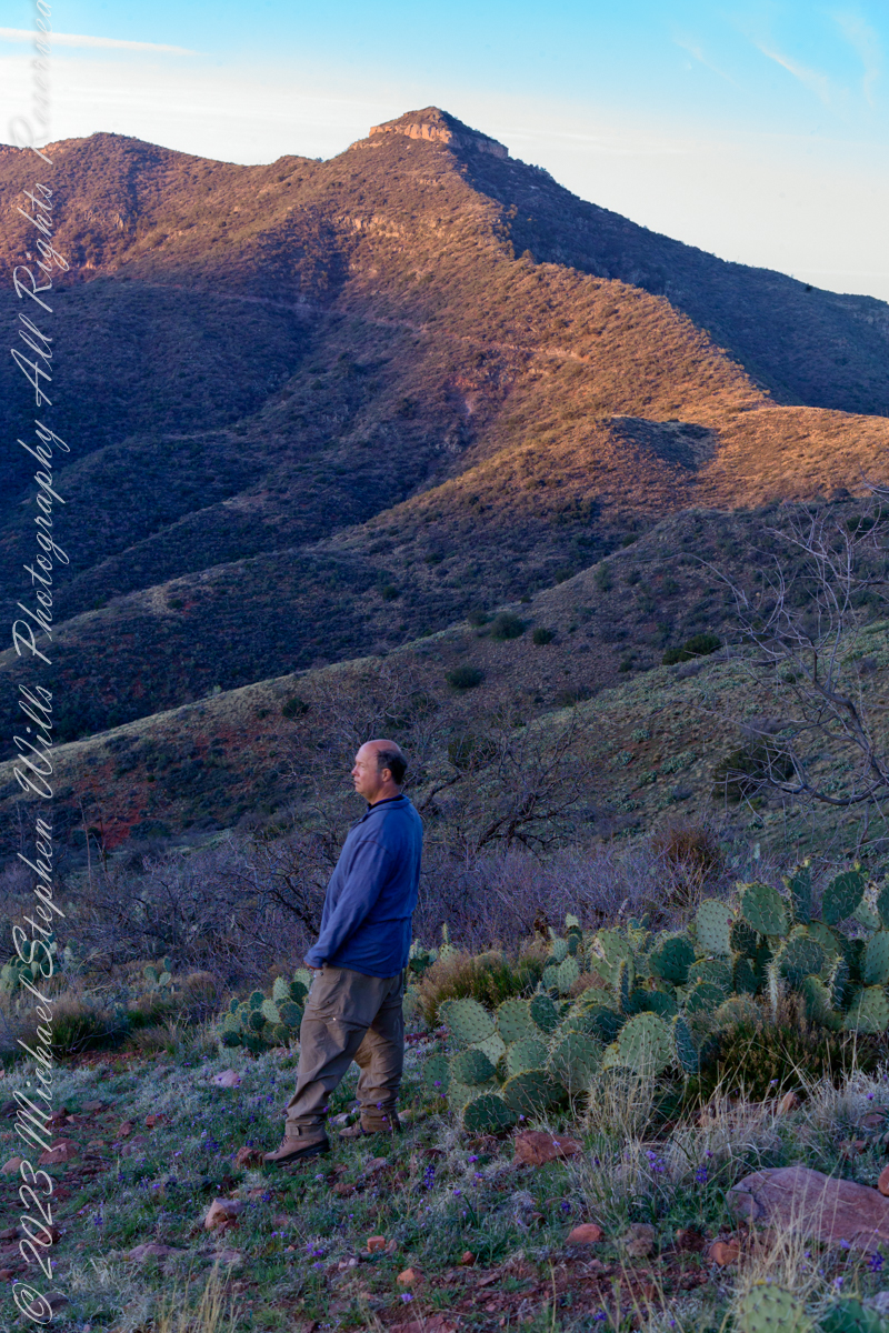
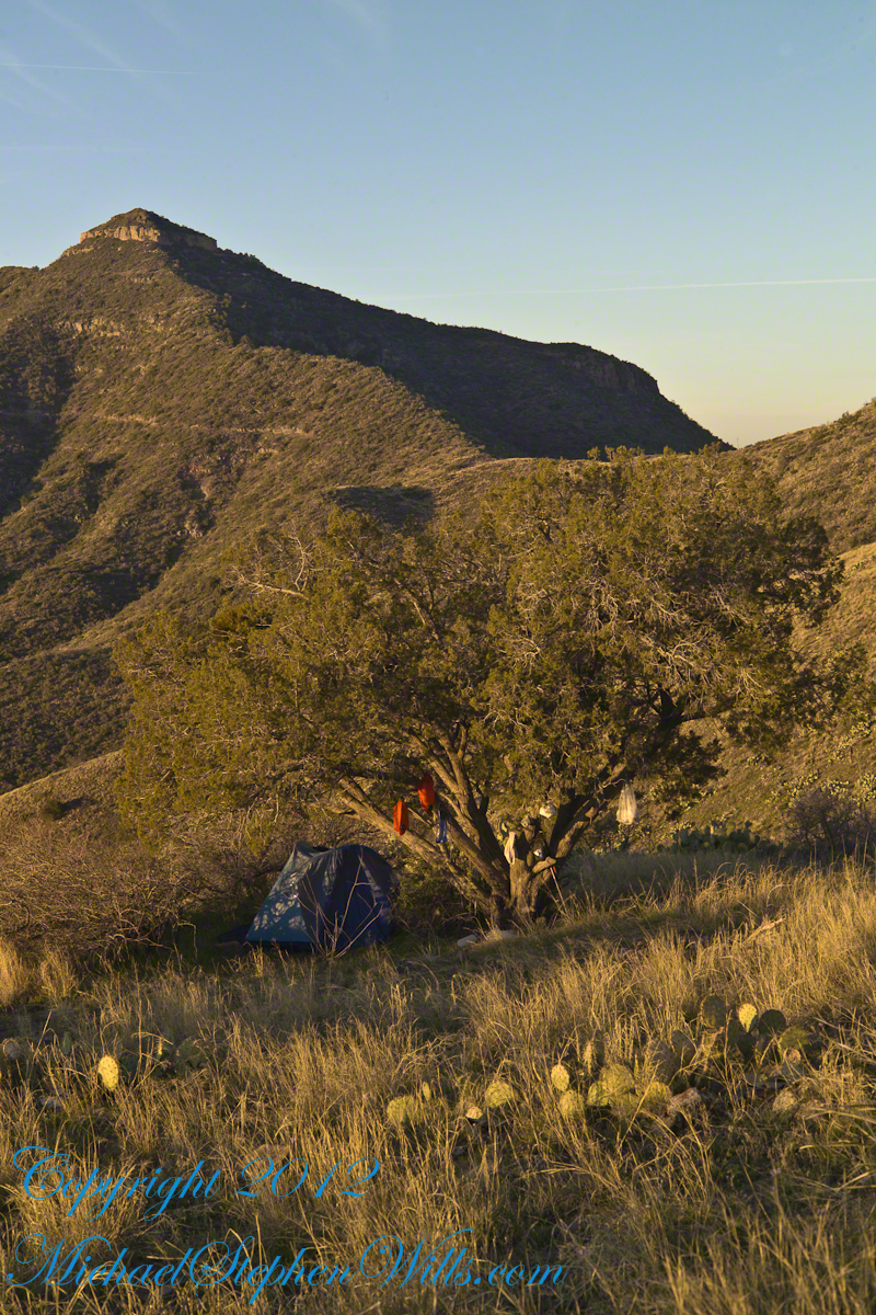
The morning of Day Four, my solo expedition to Reavis Falls in the Superstition Wilderness of Arizona. I camped on Lime Mountain, off the trail to Reavis Falls. That is Castle Dome behind me. The line sloping up the mountain is the Reavis Trail to Reavis Ranch.

My campsite.

Looking toward Pinyon Mountain and the Arizona Trail (not visible) that fine morning.

Copyright 2023 Michael Stephen Wills All Rights Reserved

Not Guilty

…for lack of evidence

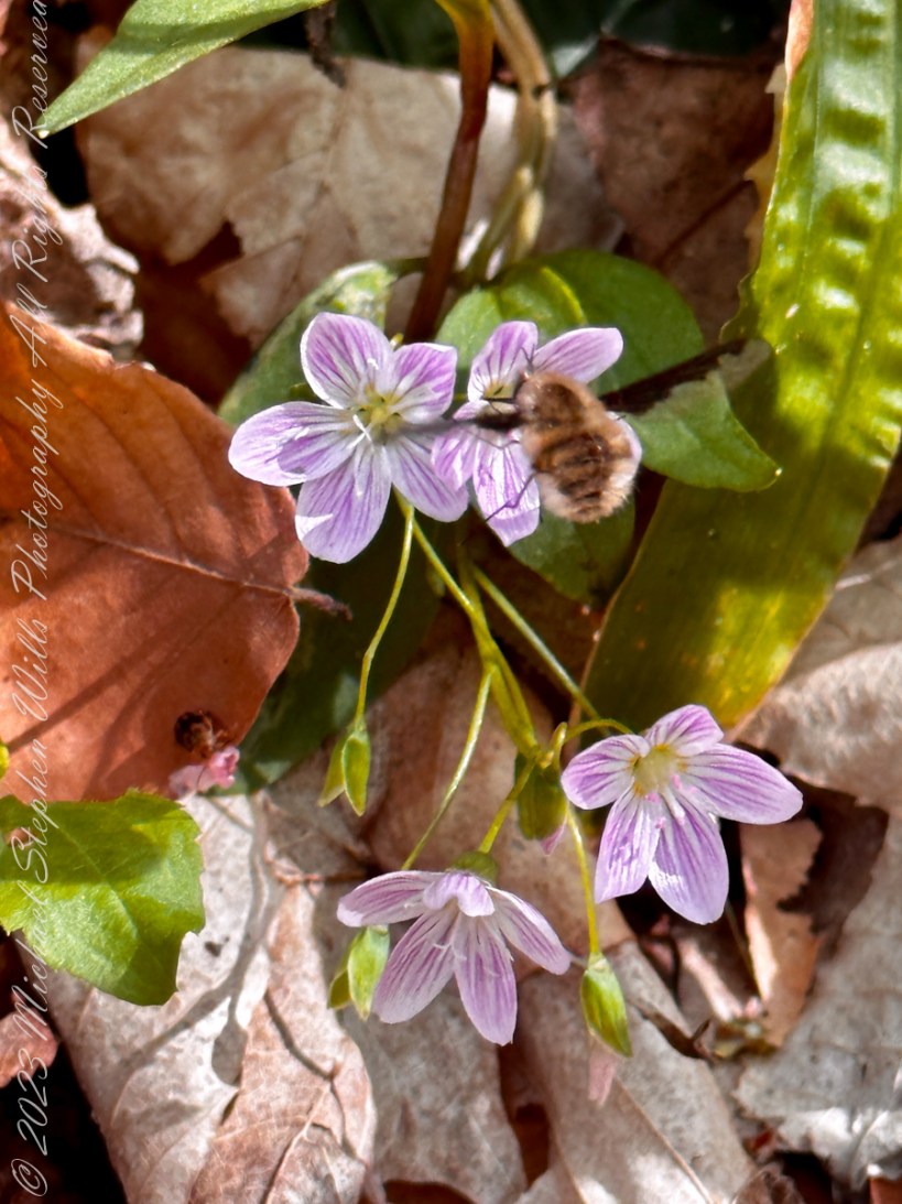
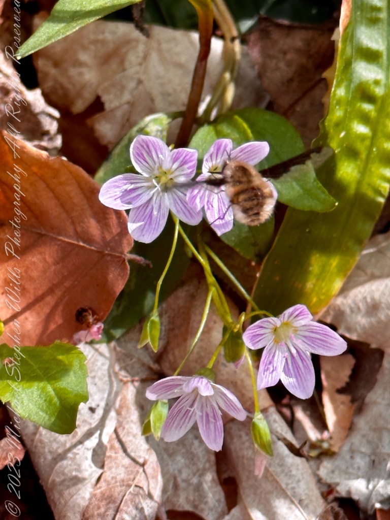
Greater Bee Fly is reputed to be a nectar thief, making a cut in flower base to siphon off nectar without fertilizing the flower. This behavior is not in evidence here as it approaches this Carolina spring beauty on a late April afternoon along the South Rim trail of Fillmore Glen State Park.

Click for my “Finger Lakes Memories” Fine Art Photography Gallery.

Instead, what we see is this fly using a long rigid proboscis, found in the front of the head, to probe and feed nectar from the flower base as would any other respectable bumblebee that is resembles and is commonly mistaken for.

Copyright 2023 All Rights Reserved Michael Stephen Wills

A Beauty

…and an edible plant

Claytonia caroliniana, the Carolina Spring Beauty, is an herbaceous perennial in the family Montiaceae. It was formerly placed in family Portulacaceae. Its native range is eastern and central North America. It is most found in the New England area of the United States, but its habitat extends from Ontario and a northern limit in the Cape Anguille Mountains of Newfoundland and south to Alabama.

Click for my “Finger Lakes Memories” Fine Art Photography Gallery.

Description

It grows approximately 6 inches tall in forests of the Appalachian Mountains and piedmont.Claytonia caroliniana is a flowering, woodland perennial herb. It grows from March though June and is one of the earliest spring ephemerals. The plant grows from spherical underground tubers in light humus. They sprout and bloom before the tree canopy develops. Once the area is shaded, the plants whither leaving only the tuberous roots underground.

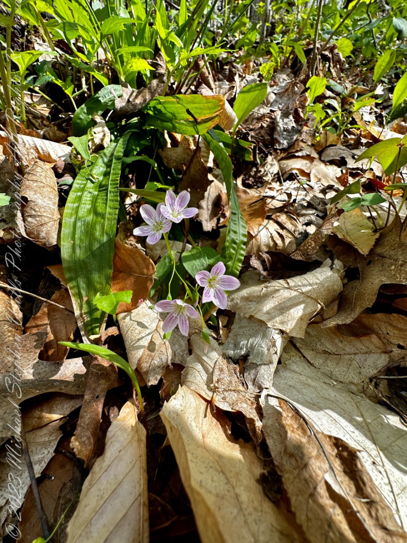
The flowers consist of five pink and purple petals. Dark pink veins accent the petals and give them a striped appearance. The carpels are fused together. I have heard the flowers are white when first opened, have not experienced this myself. They grow on a stem 3 – 10 inches tall that bears a single pair of broad leaves. There are two green leaves that grow opposite each other on a node. The leaf has no teeth or lobes and a prominent central vein. They grow up to three inches long and 1/2 to 3/4 inches wide.

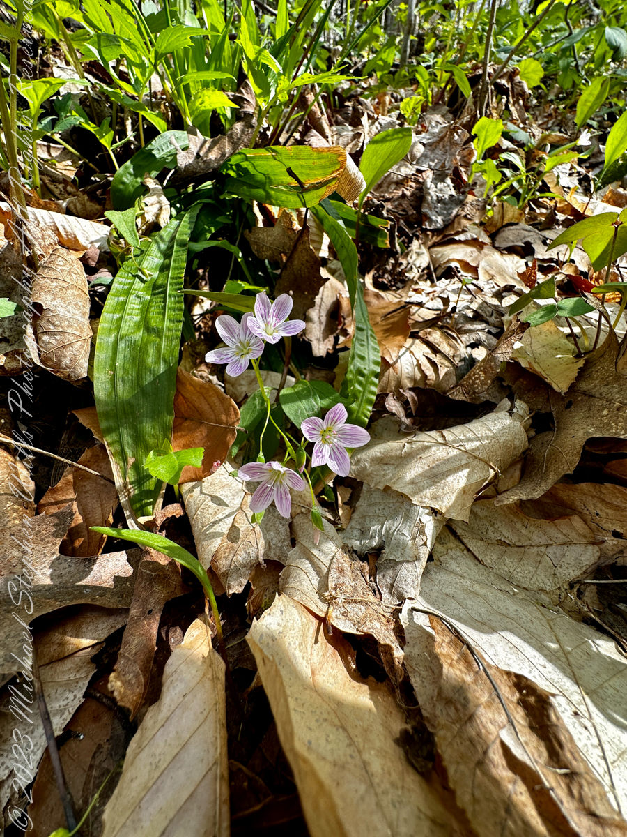
In the photograph, Carolina Spring Beauty flowers bracket the leaves just visible under leaf litter.

Edible

The plant is edible, but its usability is limited due to difficulty harvesting and the small quantities each plant produces. Its tuberous roots are edible and rich in starch and can be cooked or eaten raw. The leaves can be eaten as well. The tuberous roots are eaten by eastern chipmunks and white-footed mice.

History

The plant was named after John Clayton. Clayton was an early collector of plant specimens.

Source: Wikipedia”Claytonia caroliniana. Direct quotations are in italics.

Copyright 2023 All Rights Reserved Michael Stephen Wills

Not a Bee

…and an edible plant

Bombylius major (commonly named the large bee-fly, the dark-edged bee-fly or the greater bee fly) is a parasitic bee mimic fly. Bombylius major is the most common type of fly within the Bombylius genus. The fly derives its name from its close resemblance to bumblebees and are often mistaken for them.

Click for my “Finger Lakes Memories” Fine Art Photography Gallery.

Bombylius major exhibits a unique flight behavior known as “yawing” and plays a role in general pollination, without preference of flower types. The fly does not bite, sting, or spread disease. However, the fly uses this mimicry of bumblebees to its own advantage, allowing close access to host solitary bee and wasp nests to deposit its eggs. After hatching, the larvae find their way into the nests to parasitically feed on the grubs.

Flight


It has been discovered that the fly is capable of a unique behavior, which was discovered with the use of a high speed camera. In this behavior, the flies are seen to rotate around a vertical axis as they fly (this action is known as “yawing”). However, it is still unknown what can cause this behavior to be triggered and what purpose it serves, but a proposed explanation includes mating habits. Here is an illustration of “Yaw” in the context of an airplane…substitute the fly body with head facing forward (to left).

ZeroOne, CC BY 3.0 https://creativecommons.org/licenses/by/3.0, via Wikimedia Commons

Pollinator Role


The Bombylius major bee-fly is a common, generalist floral pollinator, meaning that it does not give preference to one flower over another, instead pollinating a wide variety of plant families and species. The fly uses its proboscis to carry and transfer the pollen. The species is a dominant pollinator within its community, sometimes even pollinating up to two thirds of the local flowers. In addition, Bombylius major will visit and pollinate plants that attract few other species. Some types of flowers, for example Pulmonaria officinalis, will be almost exclusively pollinated by Bombylius major, with other species contributing a negligible amount to that plants pollination. Some flower species, such as Delphinium tricorne, are even specifically adapted to the fly in terms of color, shape, and form. If given the choice, Bombylius major will have a consistency in plant choice.

Flower Attraction


Long distance floral attraction is governed by optical sense, with color being the most important factor. The flies are typically more attracted to blue and violet colors, and occasionally yellow, over orange and pink. However, short distance floral attraction is based on the fly’s olfactory sense.

Sunbathing Activity


The fly is mostly active during day hours when the weather conditions are warm and sunny. Bombylius major is attracted to sunnier places and is more likely to pollinate these areas, with a larger average of flower visits in areas of higher amounts of sunshine. The fly will hide in the trees during the night and usually dart away from a cast shadow and occasionally hide in clean washing brought in fresh from the washing line and fly out causing unsettled behavior in the discoverer.

Flower Description


Claytonia caroliniana is a flowering, woodland perennial herb. It grows from March though June and is one of the earliest spring ephemerals. The plant grows from spherical underground tubers in light humus. They sprout and bloom before the tree canopy develops. Once the area is shaded, the plants whither leaving only the tuberous roots underground.

The plant is edible, but its usability is limited due to difficulty harvesting and the small quantities each plant produces. Its tuberous roots are edible and rich in starch and can be cooked or eaten raw. The leaves can be eaten as well. The tuberous roots are eaten by eastern chipmunks and white-footed mice.

Source: Wikipedia “Bombylius major ” and “Claytonia caroliniana. Direct quotations are in italics.

Copyright 2023 All Rights Reserved Michael Stephen Wills

Glacial Erratic, unremarked

This maple tree is one of the first plants to flower in spring.

Pam and I ambled around the Arboretum for our Easter 2023 outing.

Click Me for “Finger Lakes Memories” my online gallery.

All photography using the IPhone 14 ProMax triple camera, raw format, edited on the phone.

We find boulders of crystalline rock, commonly derived from Adirondack sources, left behind on the surface of ablation moraine, in the Finger Lakes Region.

Cornell finds some and move them, maybe the case for this unremarked erratic found along the Allen Trail of FR Newman Arboretum.

Another enormous erratic, brought in from the Sixmile Creek valley, was carved into a seat as a memorial to Professor R.S. Tarr who deciphered much of the glacial history of the Finger Lakes Region. Find it at the southwest corner of McCraw Hall on the Cornell University Campus.

History (from wikipedia)

During the 18th century, erratics were deemed a major geological paradox. Geologists identify erratics by studying the rocks surrounding the position of the erratic and the rock of the erratic itself. Erratics were once considered evidence of a biblical flood, but in the 19th century scientists gradually came to accept that erratics pointed to an ice age in Earth’s past. Among others, the Swiss politician, jurist, theologian Bernhard Friedrich Kuhn [de] saw glaciers as a possible solution as early as 1788. However, the idea of ice ages and glaciation as a geological force took a while to be accepted. Ignaz Venetz (1788–1859), a Swiss engineer, naturalist and glaciologist was one of the first scientists to recognize glaciers as a major force in shaping the earth.

In the 19th century, many scientists came to favor erratics as evidence for the end of the Last Glacial Maximum (ice age) 10,000 years ago, rather than a flood. Geologists have suggested that landslides or rockfalls initially dropped the rocks on top of glacial ice. The glaciers continued to move, carrying the rocks with them. When the ice melted, the erratics were left in their present locations.

Charles Lyell’s Principles of Geology (v. 1, 1830) provided an early description of the erratic which is consistent with the modern understanding. Louis Agassiz was the first to scientifically propose that the Earth had been subject to a past ice age. In the same year, he was elected a foreign member of the Royal Swedish Academy of Sciences. Prior to this proposal, Goethe, de Saussure, Venetz, Jean de Charpentier, Karl Friedrich Schimper and others had made the glaciers of the Alps the subjects of special study, and Goethe,[15] Charpentier as well as Schimper had even arrived at the conclusion that the erratic blocks of alpine rocks scattered over the slopes and summits of the Jura Mountains had been moved there by glaciers.

Charles Darwin published extensively on geologic phenomena including the distribution of erratic boulders. In his accounts written during the voyage of HMS Beagle, Darwin observed several large erratic boulders of notable size south of the Strait of Magellan, Tierra del Fuego and attributed them to ice rafting from Antarctica. Recent research suggests that they are more likely the result of glacial ice flows carrying the boulders to their current locations.

References:
The Finger Lakes Region: Its Origin and Nature,” O.D. von Engeln, Cornell University Press, 1961 page 106.
Wikipedia, “Glacial Erratics”
Copyright 2023 Michael Stephen Wills All Rights Reserved