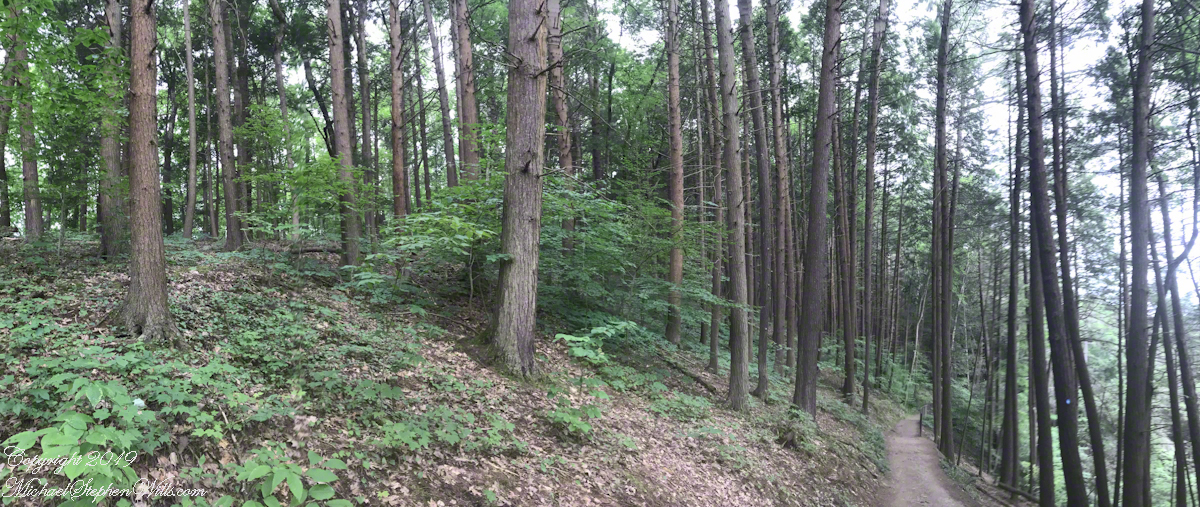
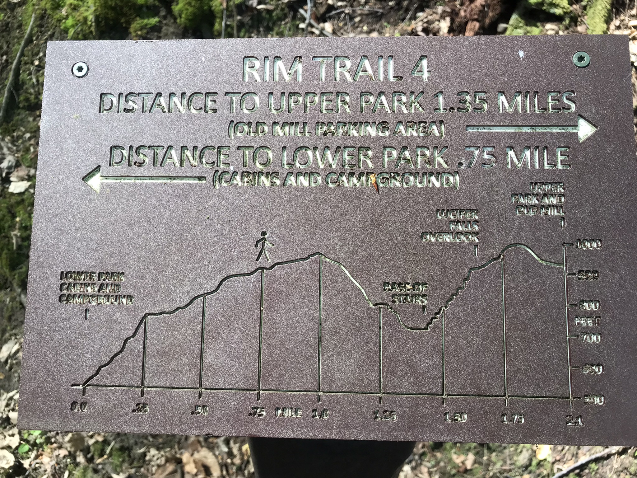
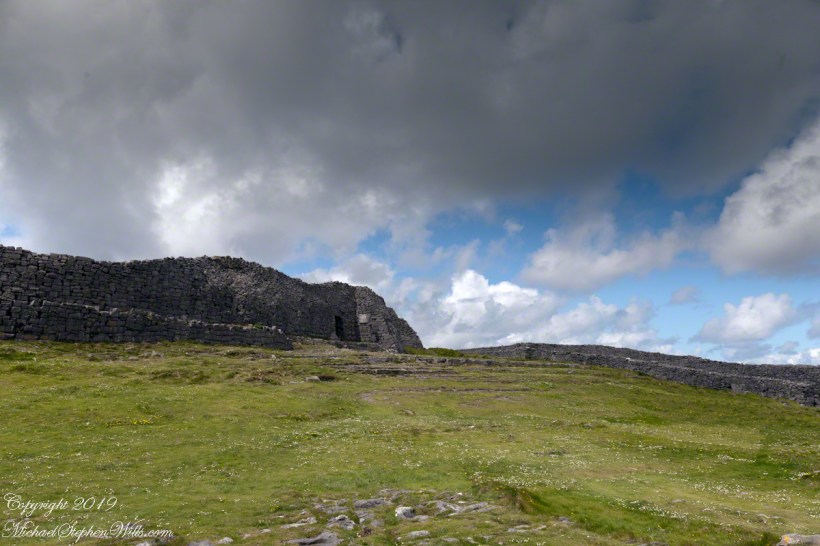
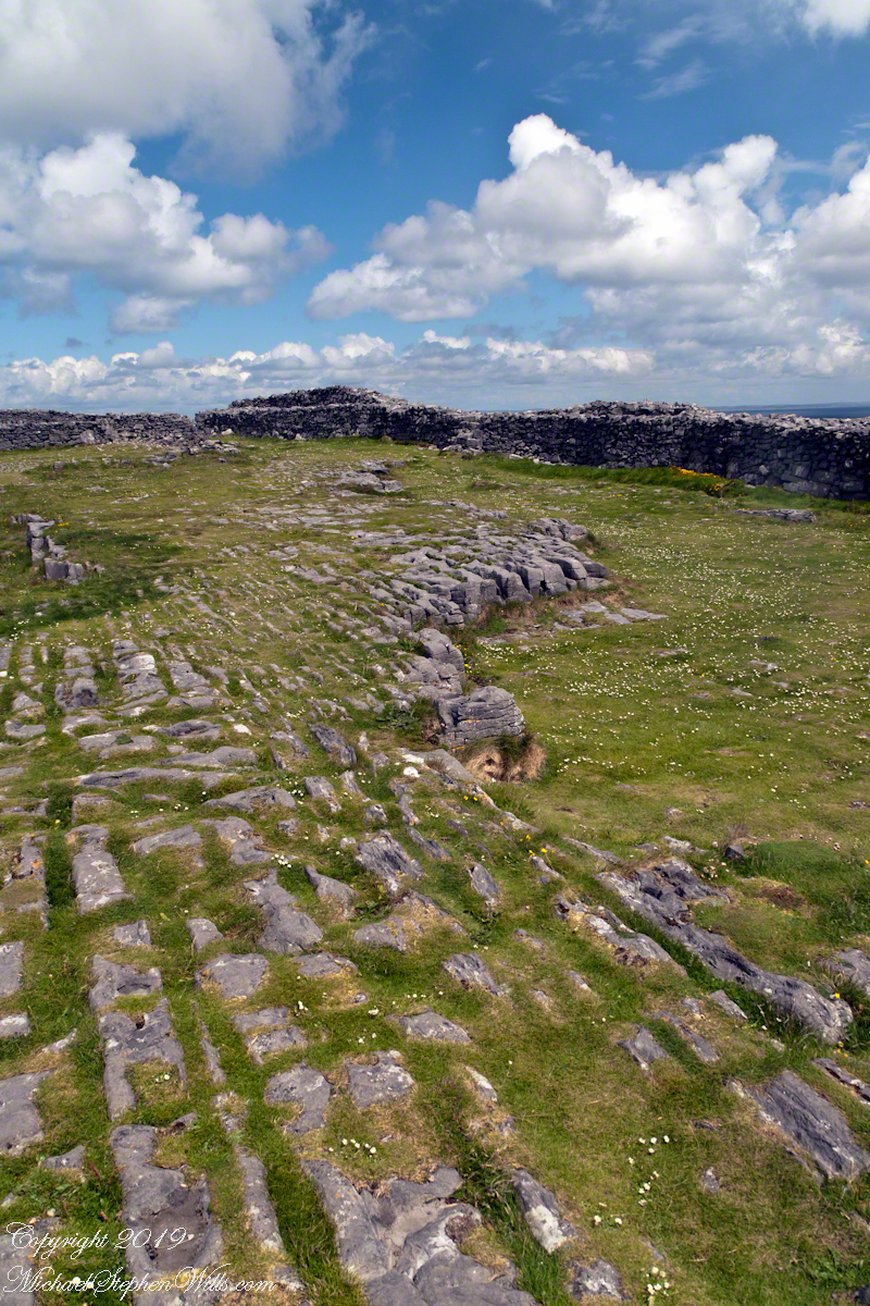
Enjoying travel on a horse trap, a type of carriage, on Inishmore (Inis Mór), the largest Aran Island in Galway Bay we headed up Cottage Road from Kilronan, the main island settlement. It was there we embarked from the Doolin ferry, hired the driver, his horse drawn trap. Our destination an iron age fort, Dun Aengus (Dún Aonghasa, the Irish language name) and the sights along the way.
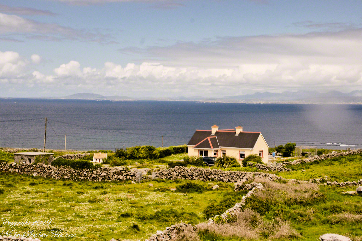
The feeling of this blurry photograph is too good to let lie. I just kept snapping away from the moving carriage, here we are descending a hill and moving a bit faster, the elevation provides this view of Galway Bay, Connemara and the Twelve Pins beyond.
Click the link for my Getty IStock photography of the Aran Islands

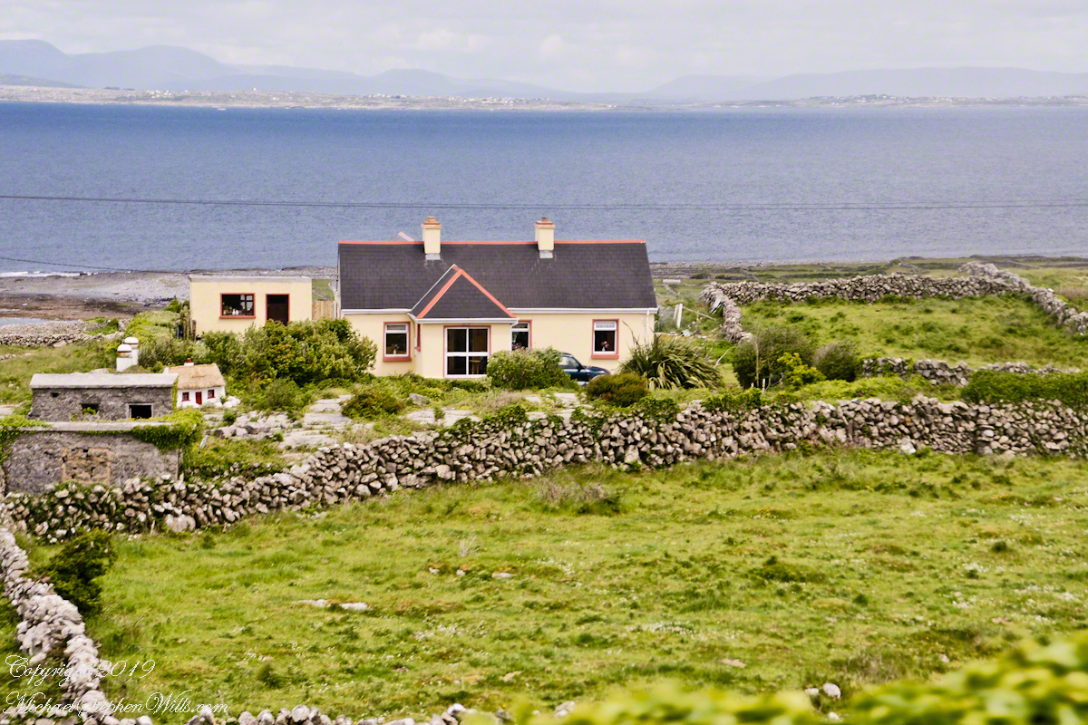
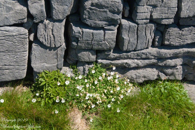
There’s a gate in the cow field, though some fields with cows were gateless. There is a simple answer to the mystery. At one point our driver stopped by his field and and demonstrated how the wall is pulled down to make an opening, the rocks stacked to make this easy. When the cows are in, the rocks go back up, a matter of 10 minutes or so to make a cow-width passage.
Click me for the first post of this series, “Horse Trap on Inishmore.”
Copyright 2022 Michael Stephen Wills All Rights Reserved