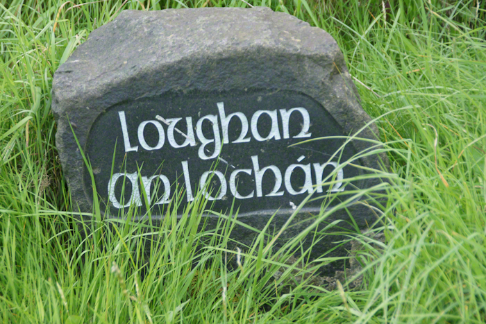
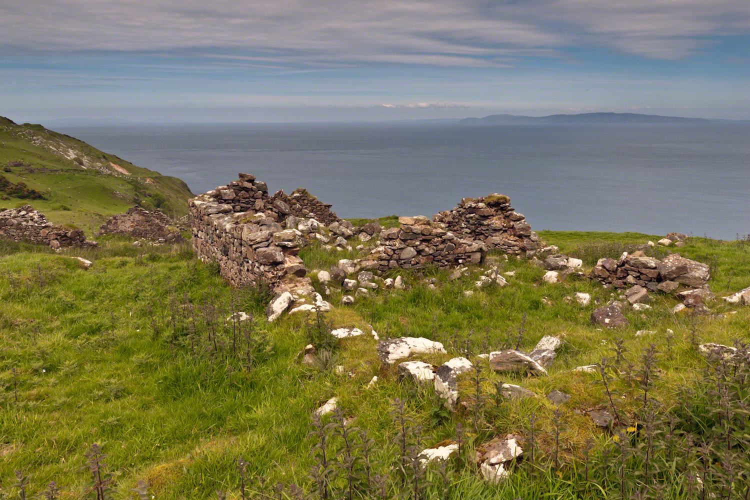
Here is a photograph from our day touring the Glens of Antrim. While making our way up the coast to Torr Head a group of stone walls resolved into ruins. A cluster of cottages on grassy slopes above the Irish sea above Loughan Bay. This is the townland of Loughan. Along the road are wonderful signs providing in handsome carved letters the place name in english and gaelic. Here a signed only provided a gaelic name: “Loughan an Lochan”…near enough to meaning “Loughan Bay” in English. The bay is a shallow scallop shaped indentation of the coast, a margin of narrow sand strand.
Ruins are spread across the slope. Immediately before the views are traces of a foundation above the grass. Beyond the top of a gable, an entire gable to the left. On the far ridge, just visible, is an entire structure with doorways, gables, walls.
Across the Irish Sea, 13 miles distant, is the Mull of Kintyre. In faint outline, rising above the horizon, find the highlands of Islay more than 30 miles. Both are tips of peninsulas jutting from Scotland.
Click pic for larger view in a new browser tab. If you are in WordPress Reader, open the post to use this feature.
The ruins lead to curiosity over who live here? What were their lives like? Why did they leave?
I have an update to my post “Proleek, Grandfather McCardle’s home” where we explored the site of the boyhood home of my grandfather, Peter McCardle, on great grandfather James McCardle’s Proleek farm. April 2018 an email arrived from the brother of the owner of the house across the road. He recognized the property from the blog photography and reached out to introduce himself and share information. His own genealogical research suggested we shared a great aunt. We now work together to define this connection.
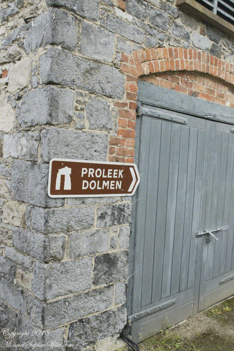
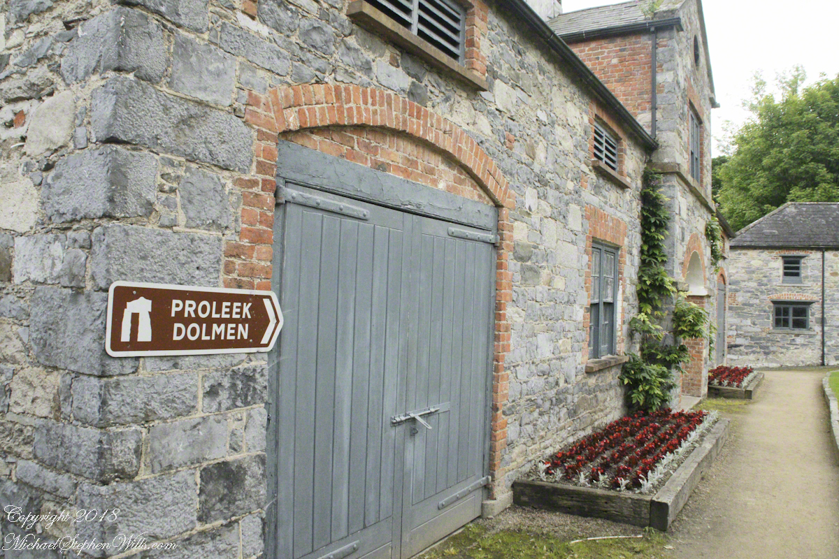
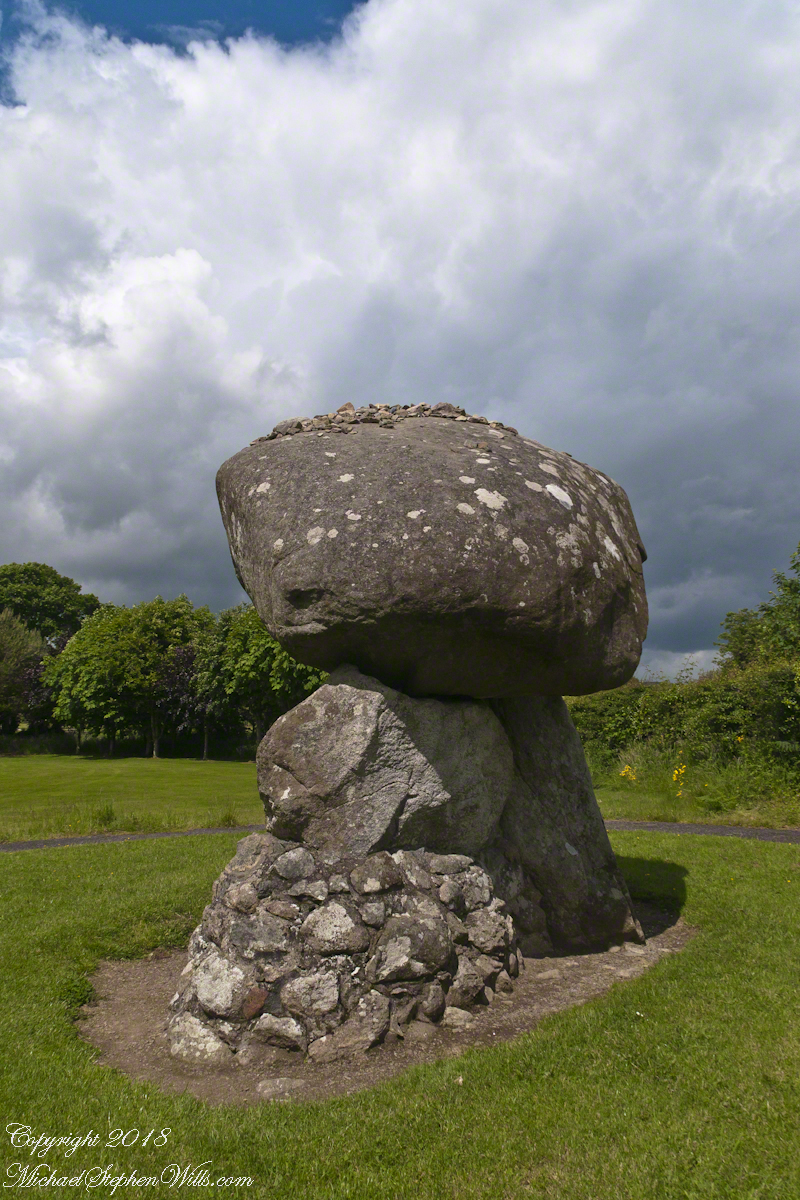
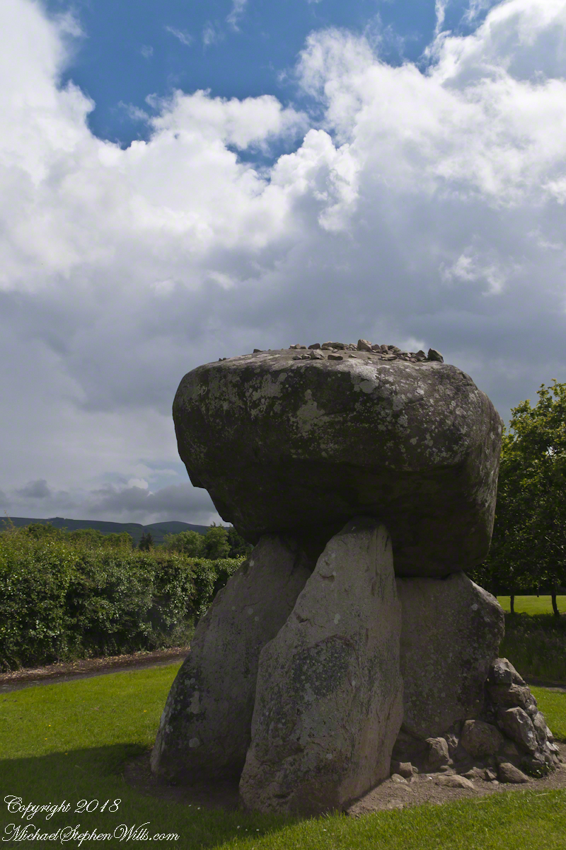
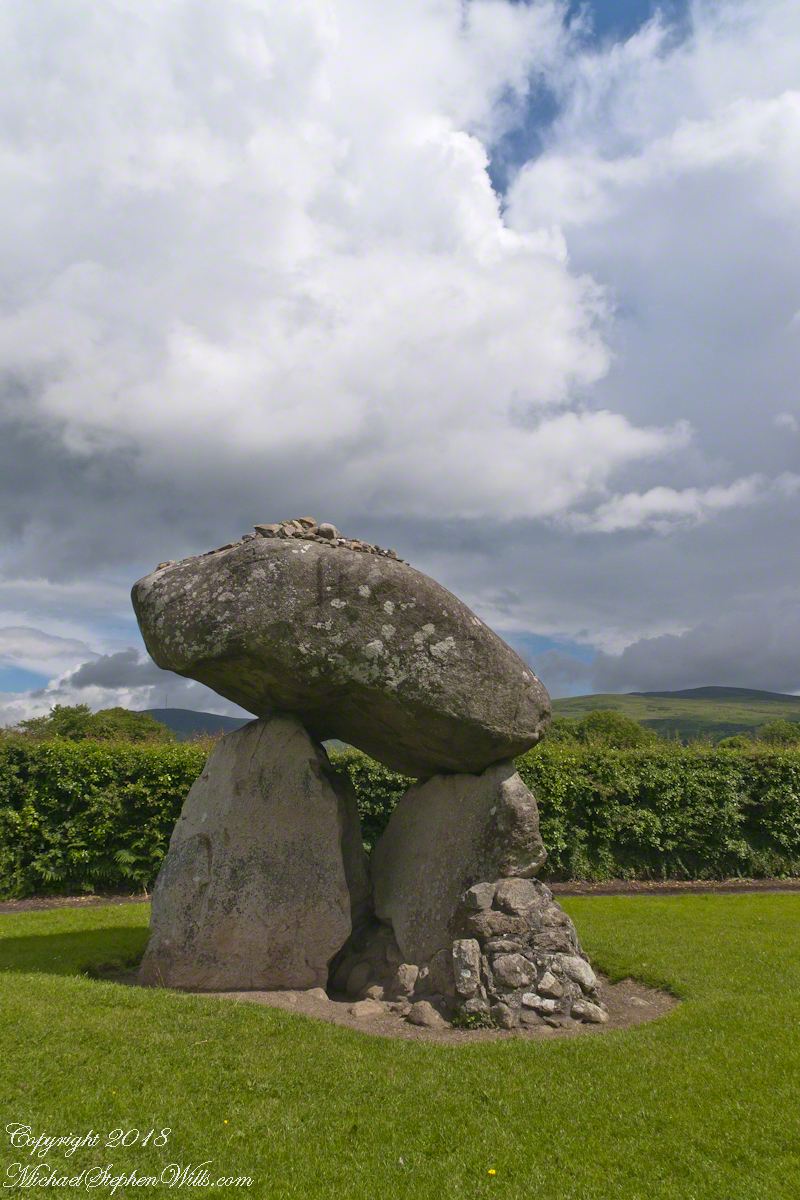
Our tour of Ireland was bookended by a visit to the farm site and, located little more than a kilometer away, a 5,000+ year old portal tomb, the last site Pam and I visited. We parked at the hotel / golf course built around the monuments. There is no fee to visit the site, number 476 on the list of Republic of Ireland National Monuments (Irish: Séadchomhartha Náisiúnta), protected at the level of guardianship by the National Monuments Act of 1930. The townland is named after the dolmen. The anglicized “Proleek” is derived from the Irish for “bruising rock”, as in a millstone. The grave is attributed in folklore to the resting place of the Scotch Giant, Para Buidhe More Mahac Seoidin, who came to challenge Fin Mac Coole.
Click photograph to view my Ireland gallery
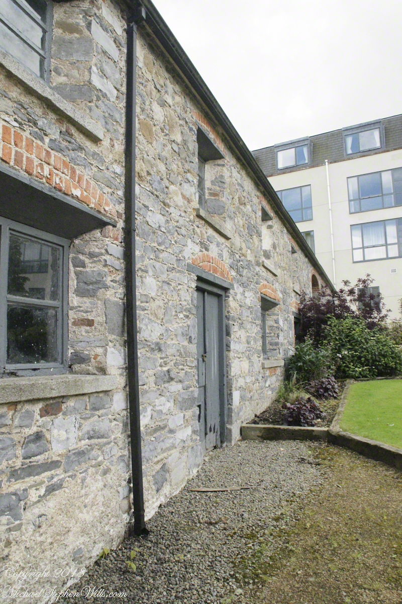
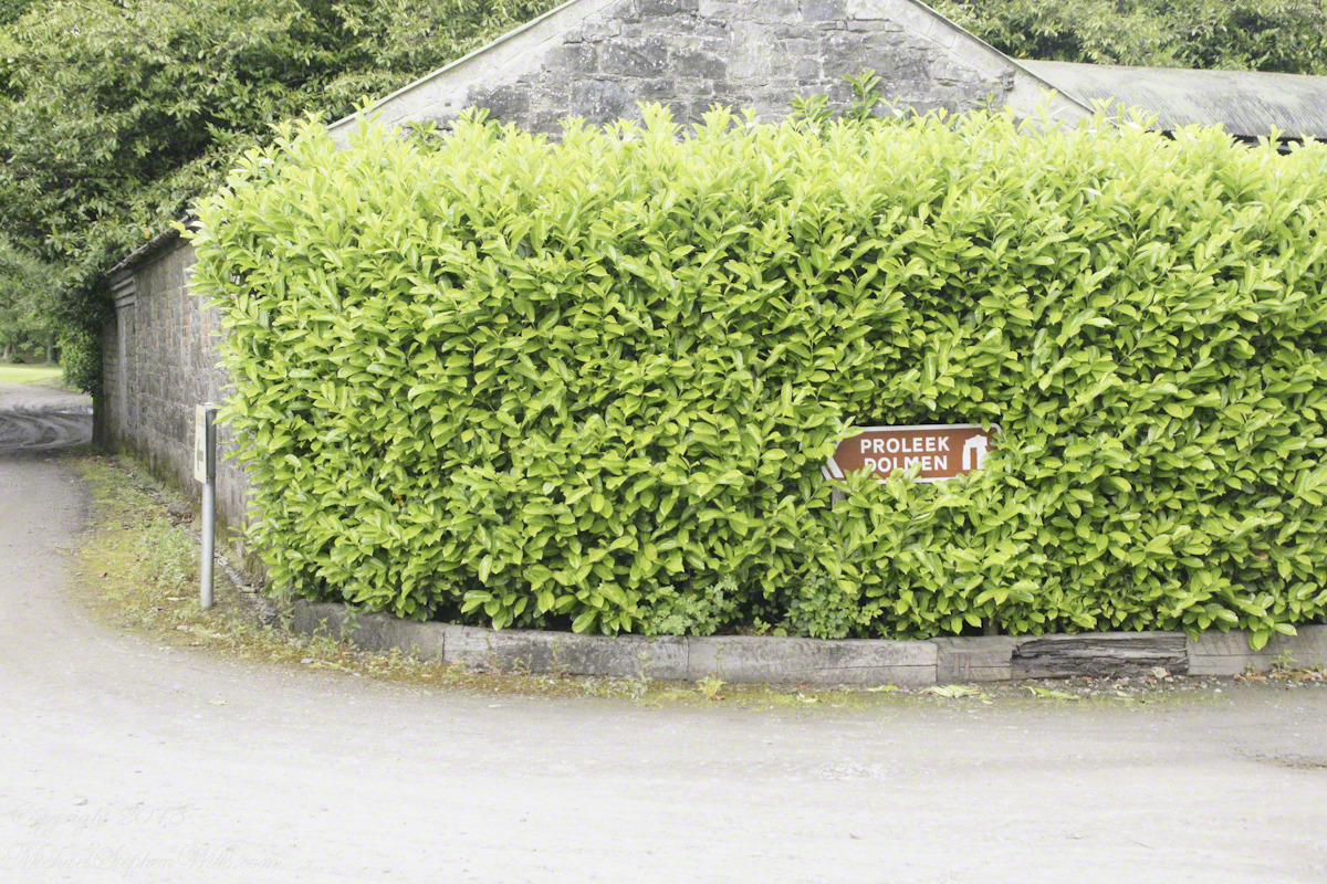
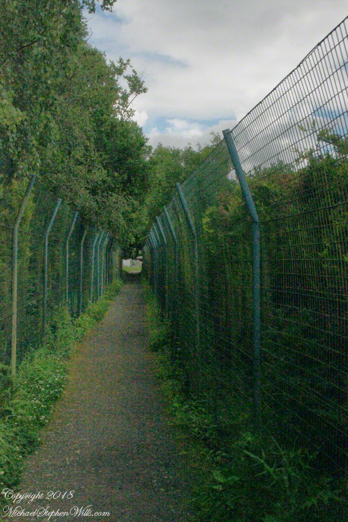
Ballymascanlon House Hotel is on the R173, on the left heading from the M1 towards Jenkinstown. Path to the monument is marked here and there and requires attention. It helps to understand the general location of the monument on the property. The parking lot and hotel are on the southern end, the monument is on the north end.
The path leads through the hotel grounds….
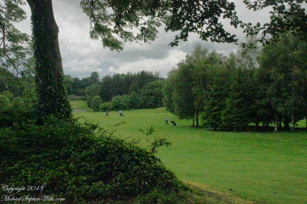
….and golf course…
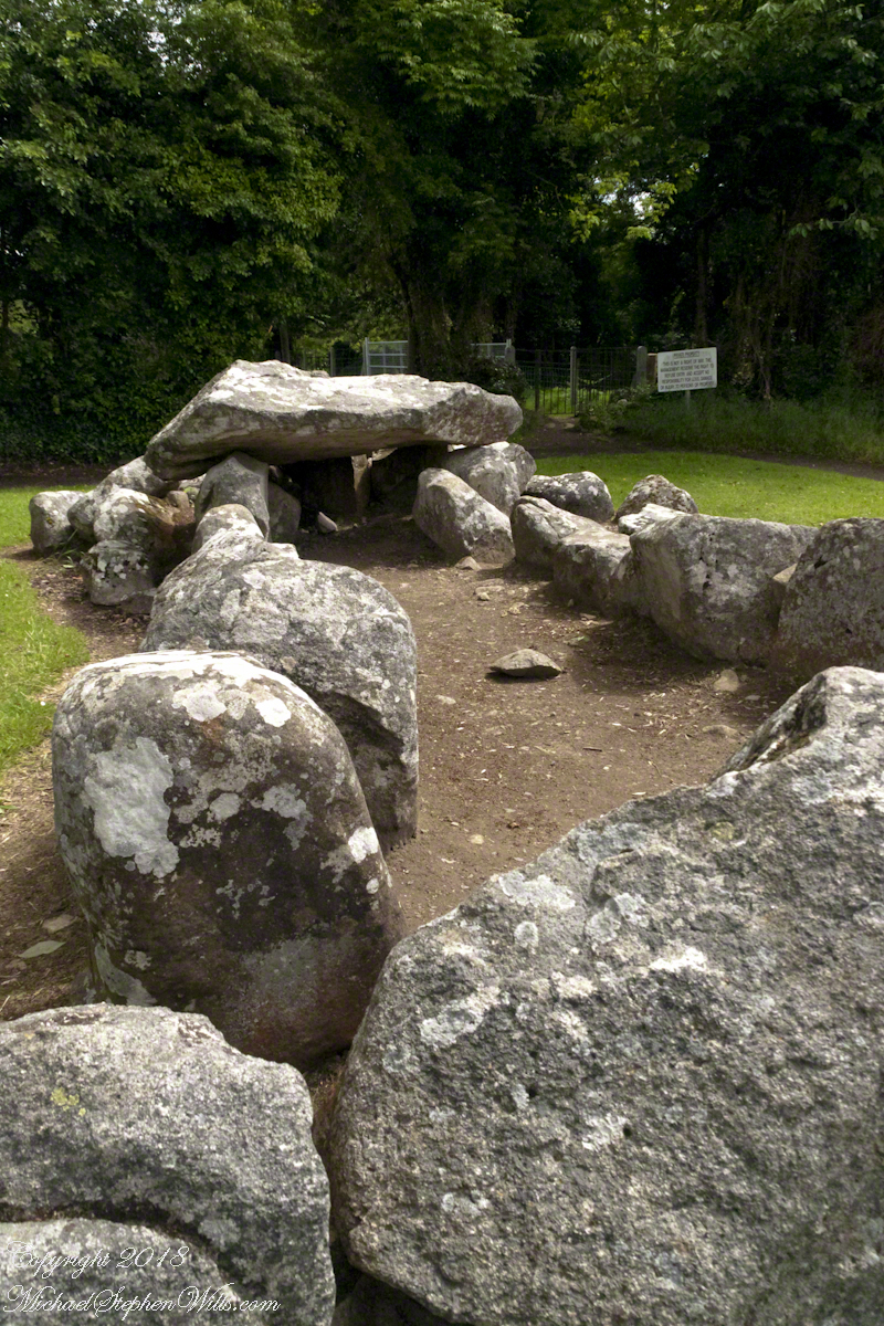
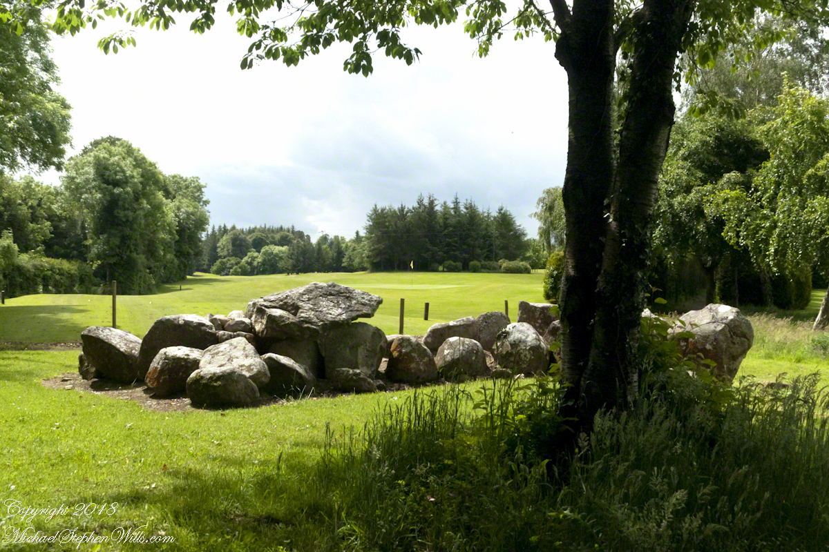
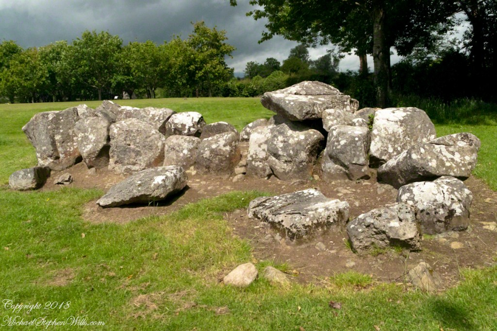
…and you first encounter the megalithic Gallery Grave of a type named “wedge shaped.”
Click any of the following photographs to view my Ireland gallery
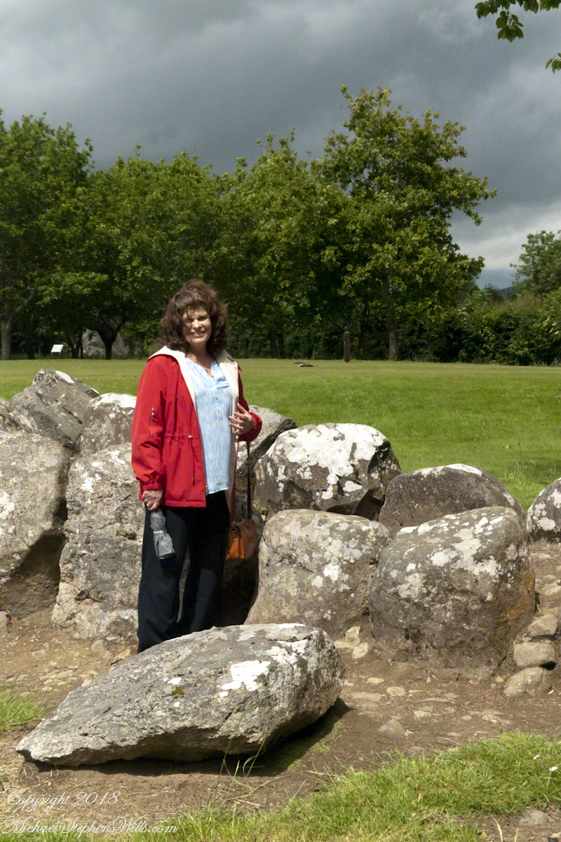
The 22 foot long tomb gallery supported stories of a giant burial. Pam poses for a sense of scale.
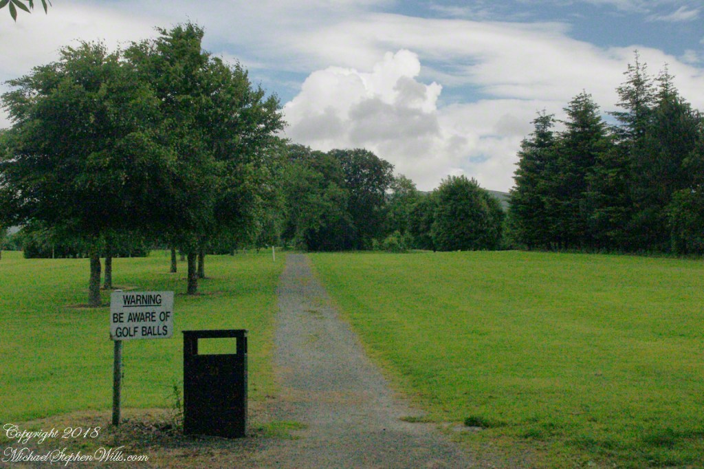
These are the only ancient monuments in Ireland were a stray golf ball may be encountered.
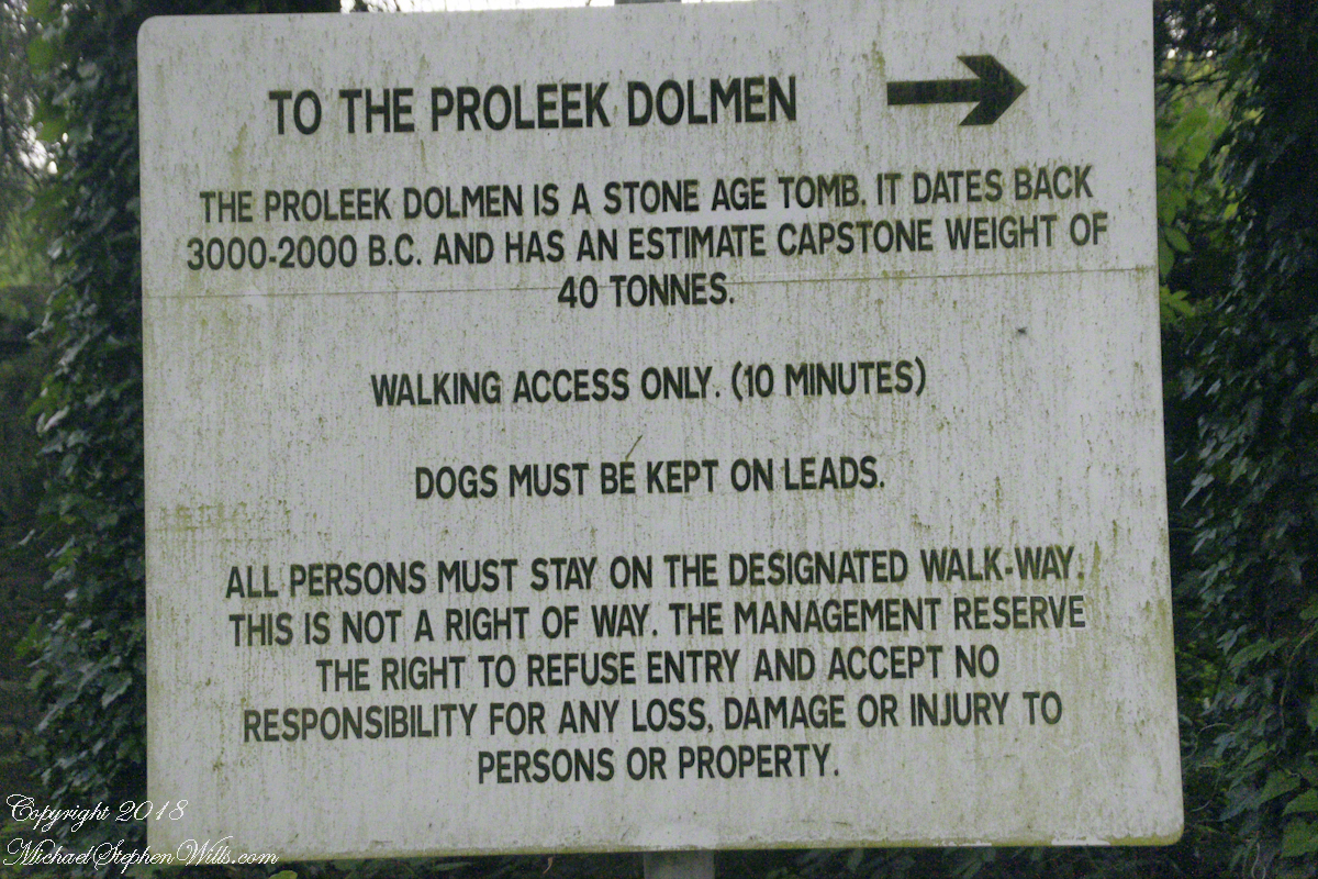
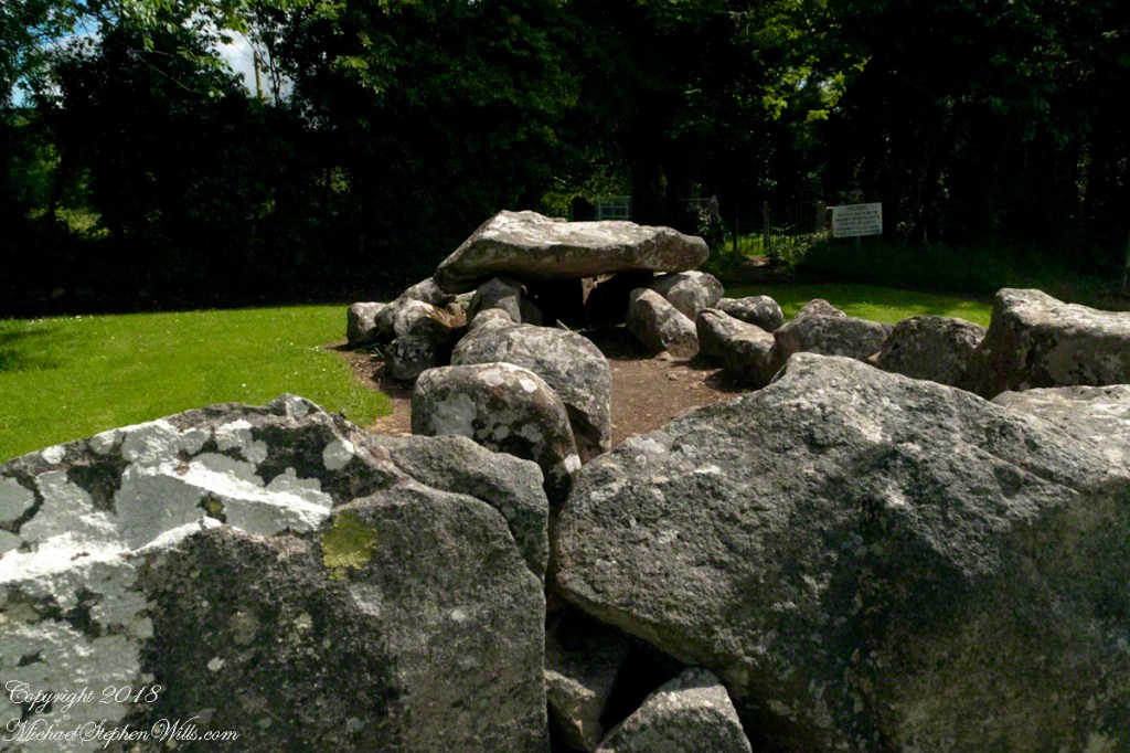
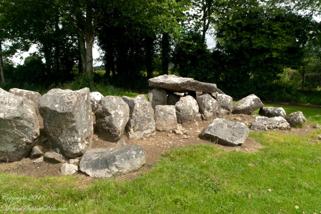
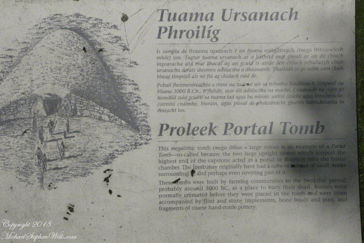
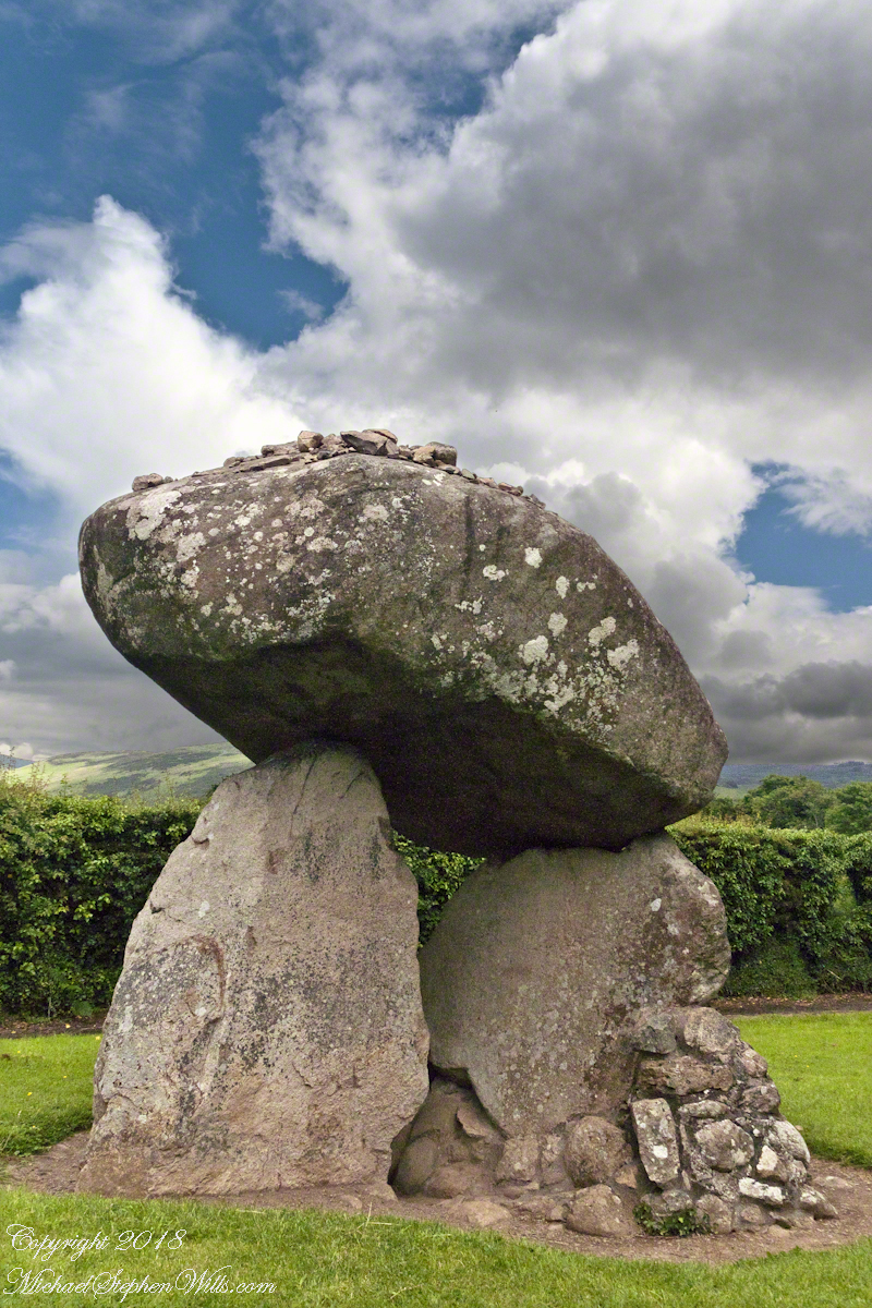
A short way ahead is the dolmen, or portal tomb. The informational placard is in English and Gaelic. There is an illustration of the stones covered with earth with a stone façade.
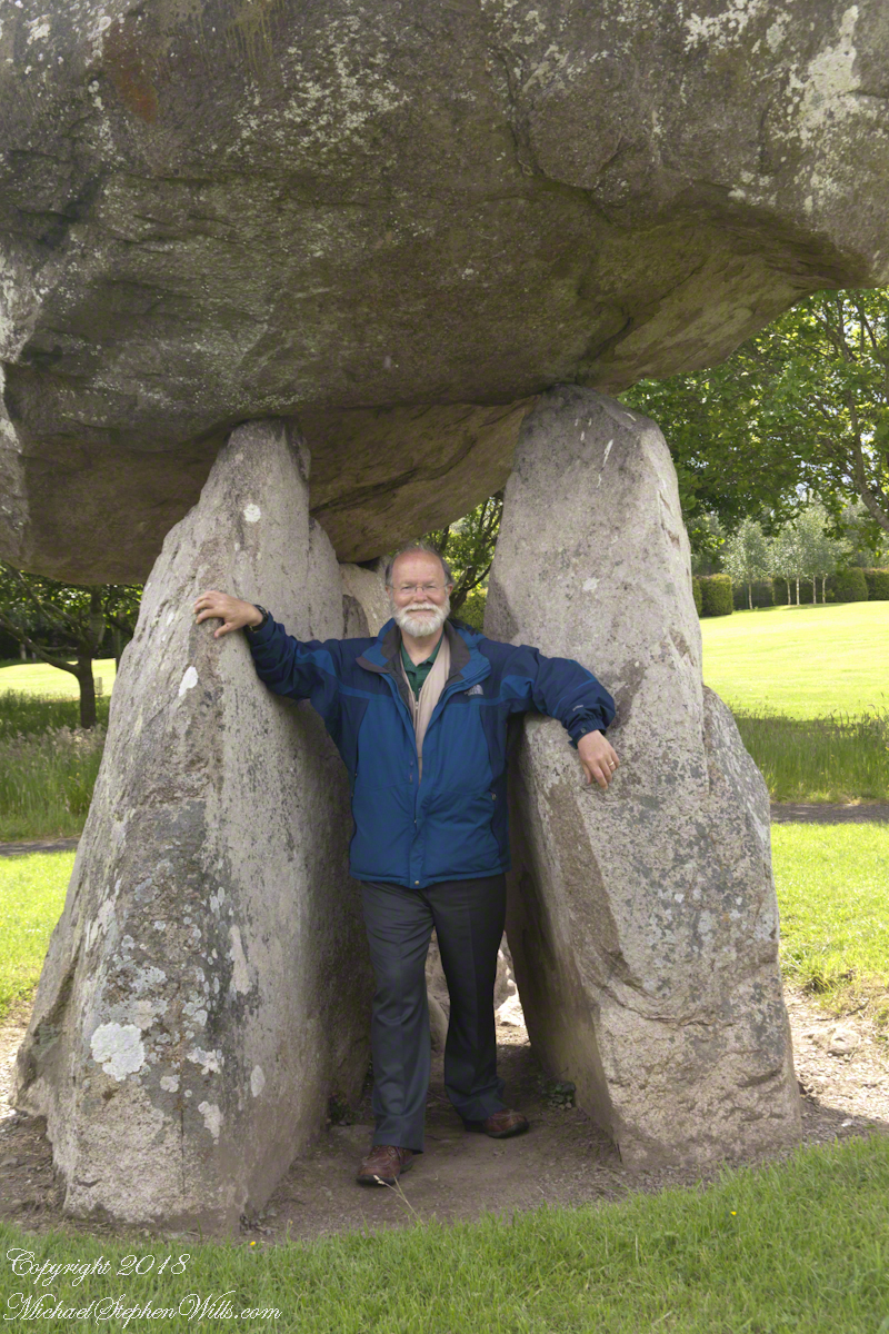
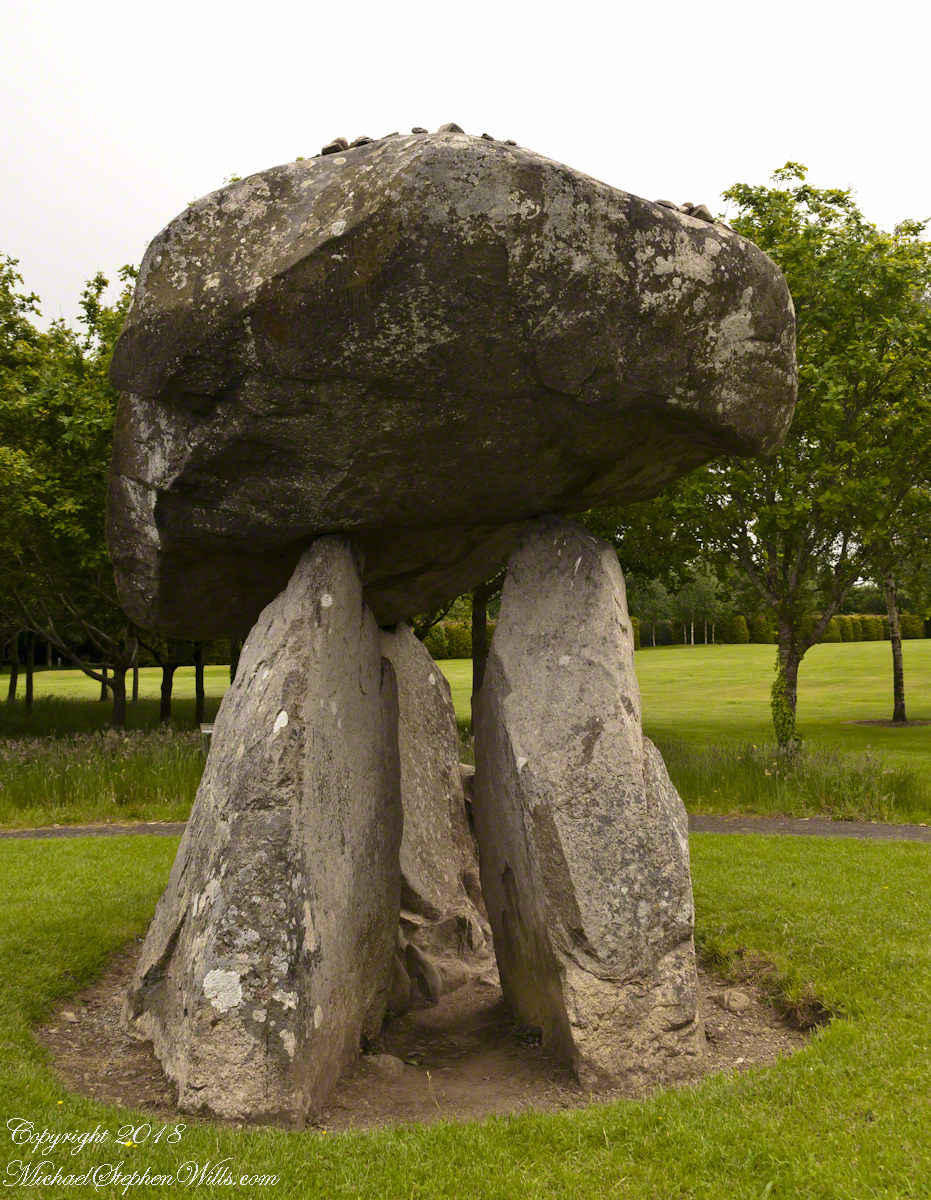
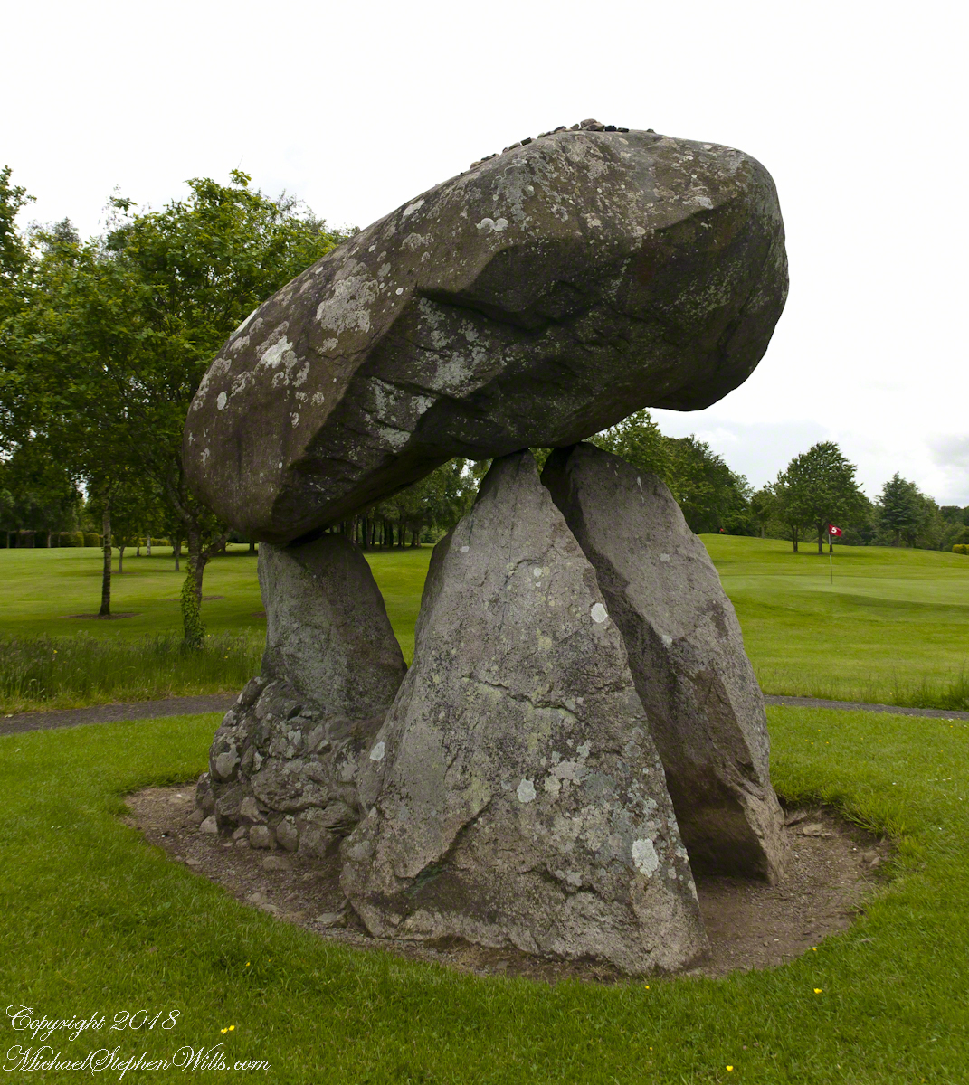
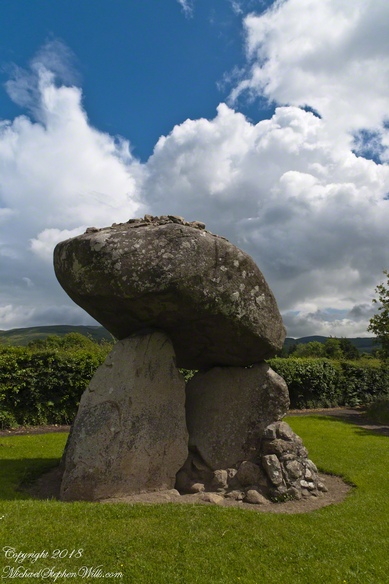
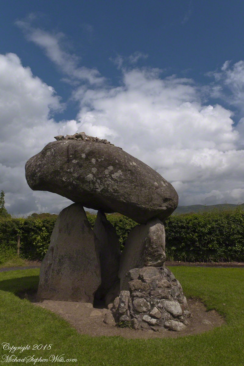
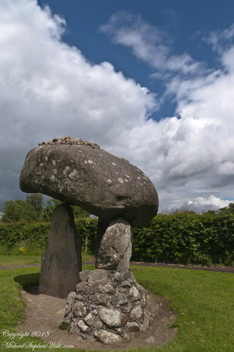
Some describe the formation as a giant mushroom with warts. The posting feature image is of the same aspect as the next photograph, with me for scale.
Click any of the following photographs to view my Ireland gallery
We are surrounded on three sides by the golf course. The “entrance” to the tomb, through the two upright portal stones, faces northwest toward Slieve Gullion, a mountain with its own Neolithic burial site next to a lake on the summit. The mountain and the flat land, such as Proleek township, feature in the story of how the Irish hero Cú Chulainn came by his name. To learn more, click this link for “On the Tain Way” the first of my posting that includes some stories of the hero.
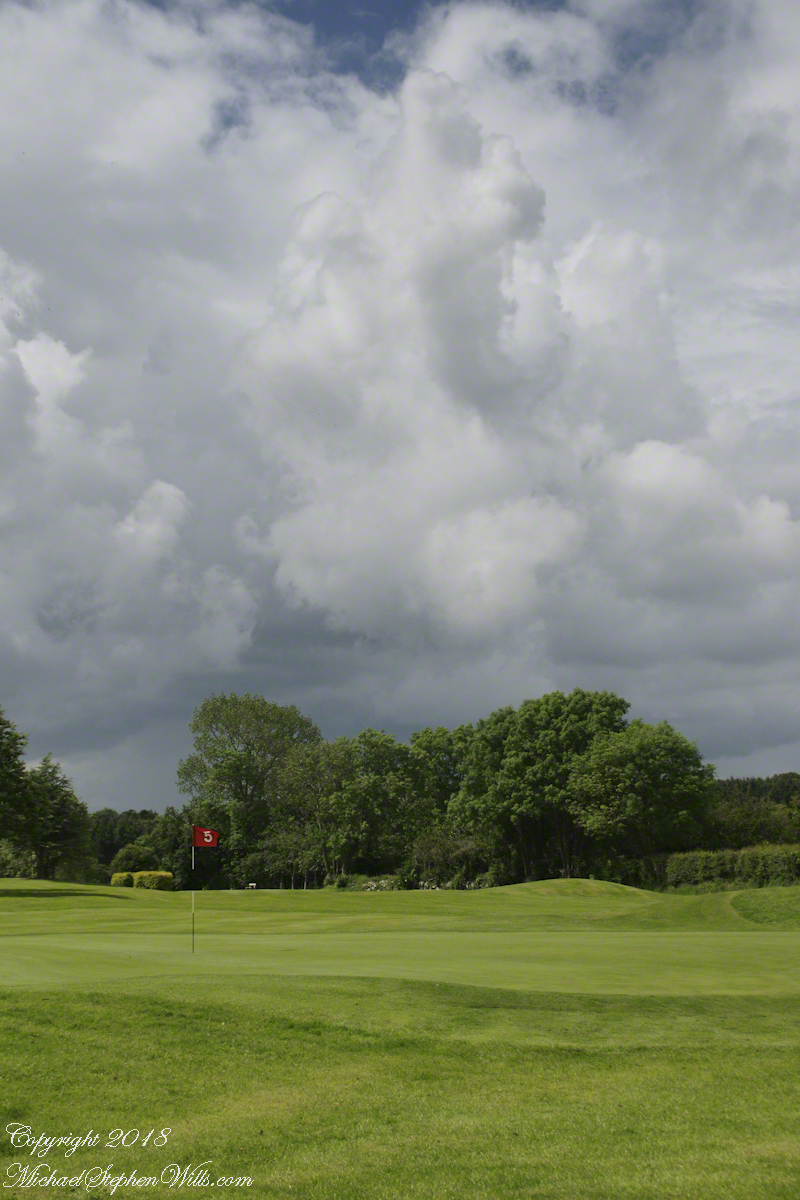
The fifth hole.
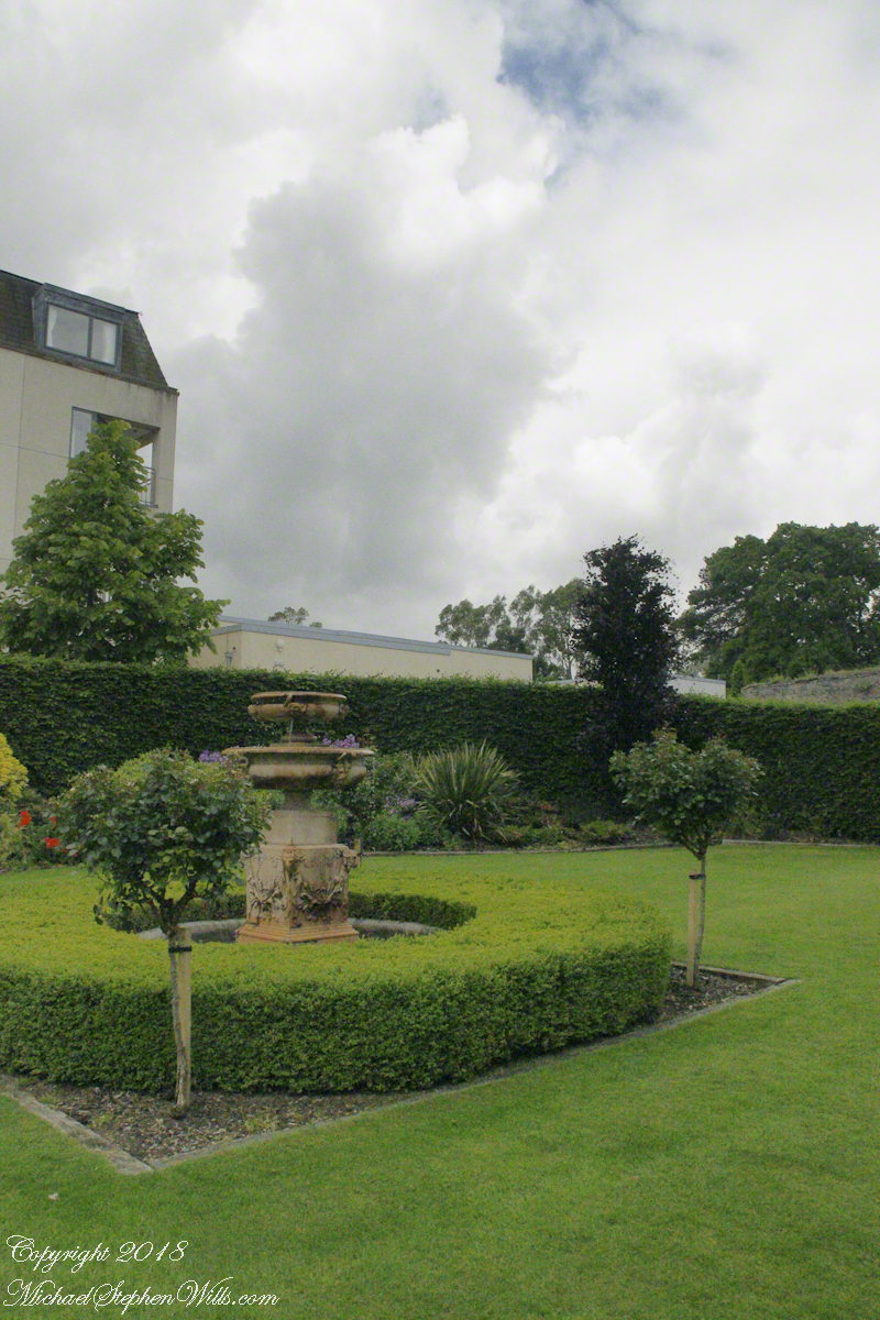
We had a beautiful day, so I took time to capture all aspects. The hedge is the northern property border.
The “warts” are stones. There is a local saying that success in placing three stones on top will give a wish or lead to marriage within the year.
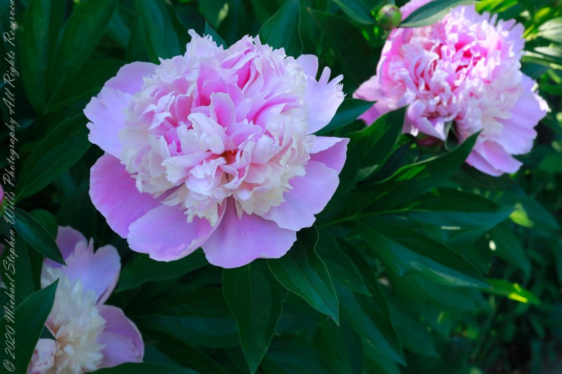
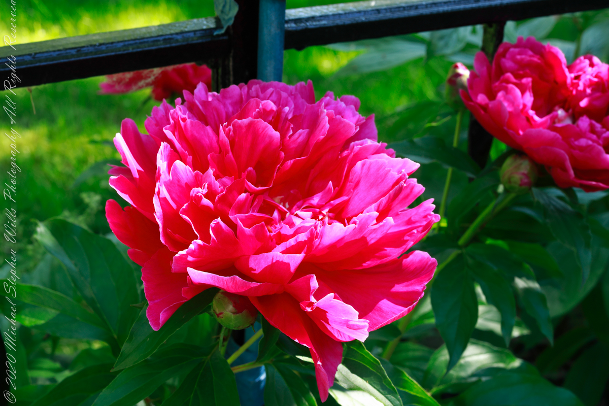
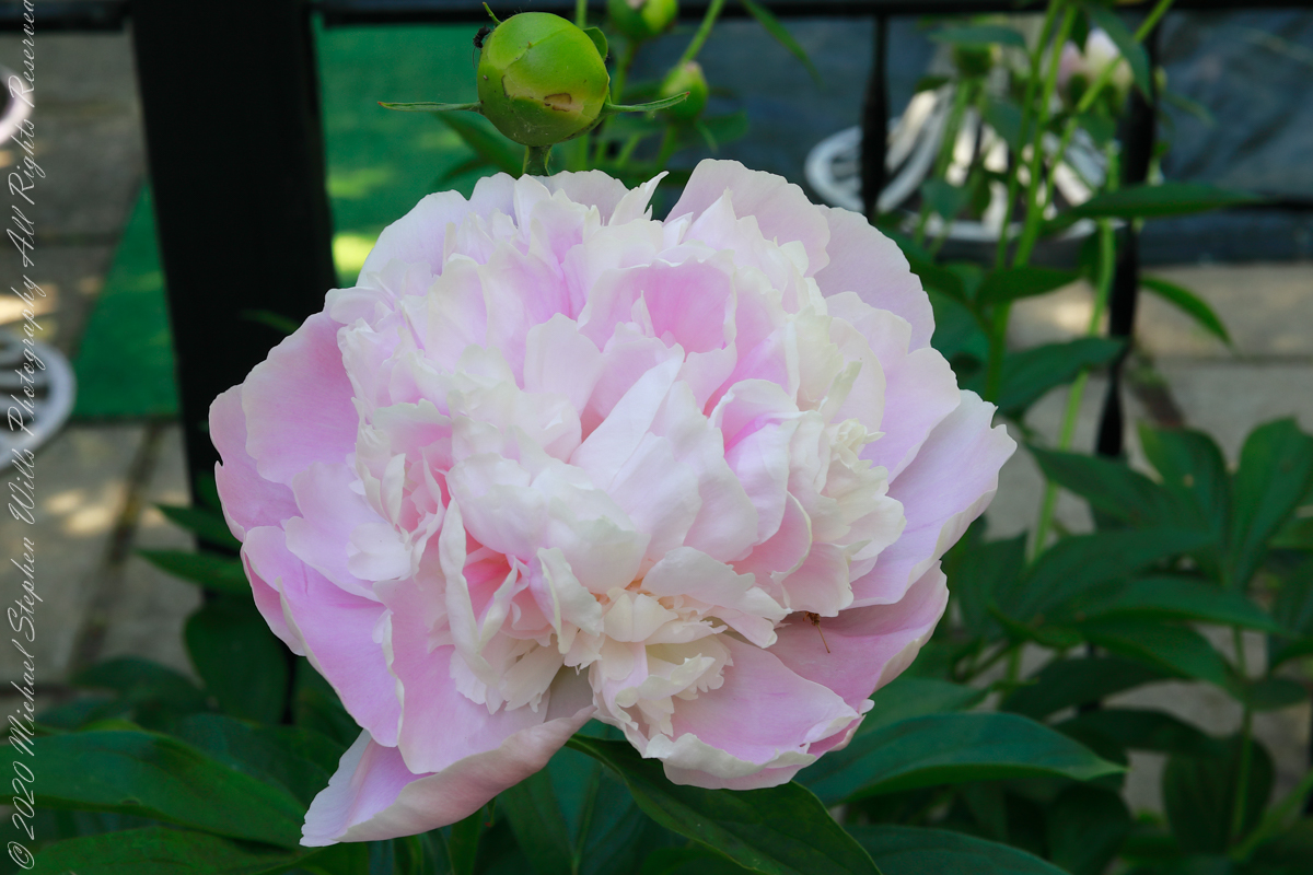
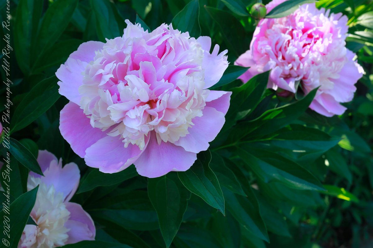
Peony species (scientific name Paeonia lactiflora) with plants that die back in cold weather to regrow each spring from a tuberous root are called “herbaceous,” from the latin word for grassy. The stems and branches remain soft and pliable, some stiff enough to hold the large, showy flowers. The first varieties introduced to Europe and named 1753 were white, “lactiflora” mean milk-white flower.
Reviewing my photography in preparation for this post I discovered not a single one for herbaceous peony, such was my interest in the woody varieties my in-laws planted around the property. Fortunately, they did not neglect the herbaceous varieties featured here.
These photographs were taken with a Canon EOS 5D Mark IV dslr and the Canon EF 50mm f/1.2L USM lens with a “BeFree” Manfrotto tripod with ball head. f-stop was tamped down to the maximum, f16 for this lens. Exposures were taken when the intermittent morning breeze abated.
Click any photograph for a larger view to open in new browser tab.
Paeonia lactiflora, in the family Paeoniaceae, contains around 30 species in Europe, across Asia and in western North America growing wild in scrub and woods, often in rocky places or on cliffs. Most species in Eastern Europe, others in the Caucasus, central Asia, the Himalayas, and Japan, mainly on limestone, and a species in dry parts of California.
Peonies have long been cultivated for their spectactular flowers as well as for their medicinal preoperties, particularily in China
Reference: “The Botanical Garden” by Phillips and Rix, Volume I (2002, Firefly Books, Buffalo, New York and Willowdale, Ontario
Copyright 2022 All Rights Reserved Michael Stephen Wills
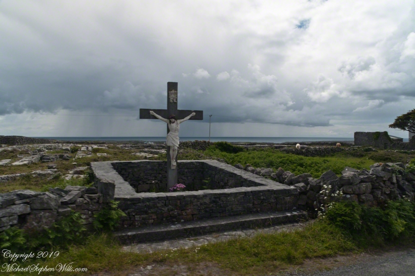
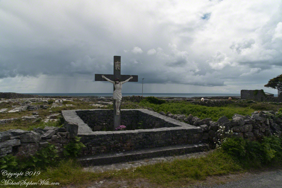
A roadside shrine on Cottage Road, Inishmore. The faith brought by the saints has deep roots here.
A large crucifix set with wet stone walls with cut flowers. The walls are the native limestone.
It is a spring (early June) afternoon and there are fern and wildflowers. The white flowers are Greater Burnet saxifrage (Scientific Name: Pimpinella major).
The existing dry stone wall was interrupted by the shrine. In the distance are dry stone walls around fields, a stone shed, feeding horses and the sea, being Galway Bay, storm clouds with distant rain.
Aran Islands, County Galway, Ireland.
Roadside Shrine and Island Landscape, Inishmore, Aran Islands, County Galway, Ireland
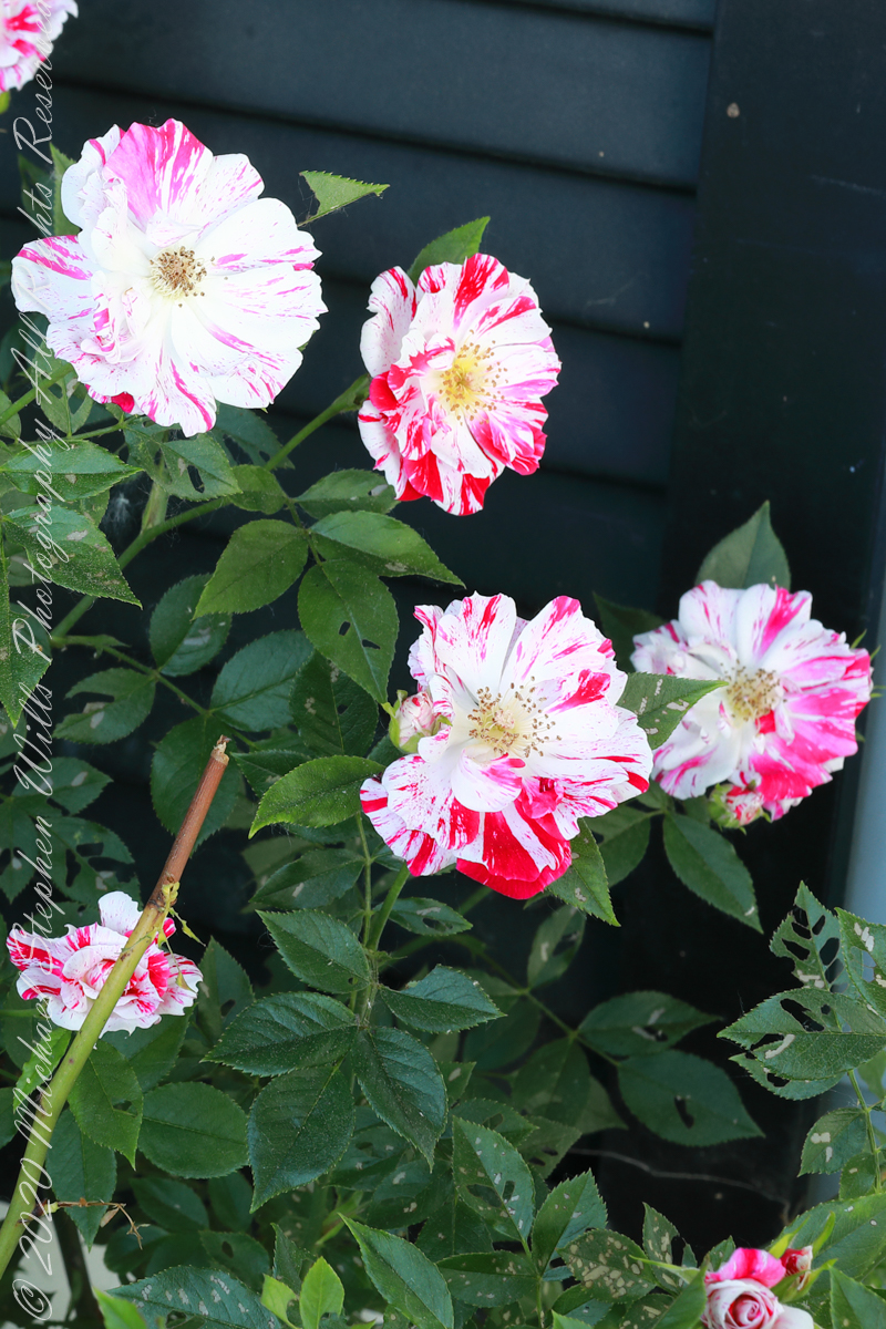
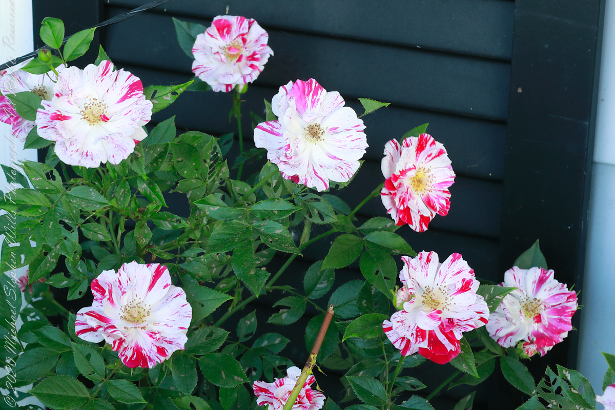
Pam’s father planted this rose on the east side where it is warmed wintertime by several hours of morning light when the sun is out. Extra attention is needed for watering as the roots are under a bay window and an awning.
1/6 second at F16, ISO 200
It is a miniature rose, the blooms about 1.5 inch across, this and the irregular red and white coloring reminds me of peppermint candies, so we call it our peppermint rose (not to be confused with the “Peppermint Rose” branded doll). The descent from wild rose is clear in the simplicity of the form. The number of flower petals identify it as a hybrid “modern rose: there are many more than five (5) petals of the wild rose.
1/4 second at F16, ISO 200
These photographs were taken with a Canon EOS 5D Mark IV dslr and the Canon EF 50mm f/1.2L USM lens with a “BeFree” Manfrotto tripod with ball head. f-stop was tamped down to the maximum, f16 for this lens. In spite of the light intermittent breezes I chose ISO 200. The combination of f-stop and low ISO resulted in a longer exposure that I worked around by waiting for the blooms to settle down between the breezes.
Copyright 2022 Michael Stephen Wills All Rights Reserved
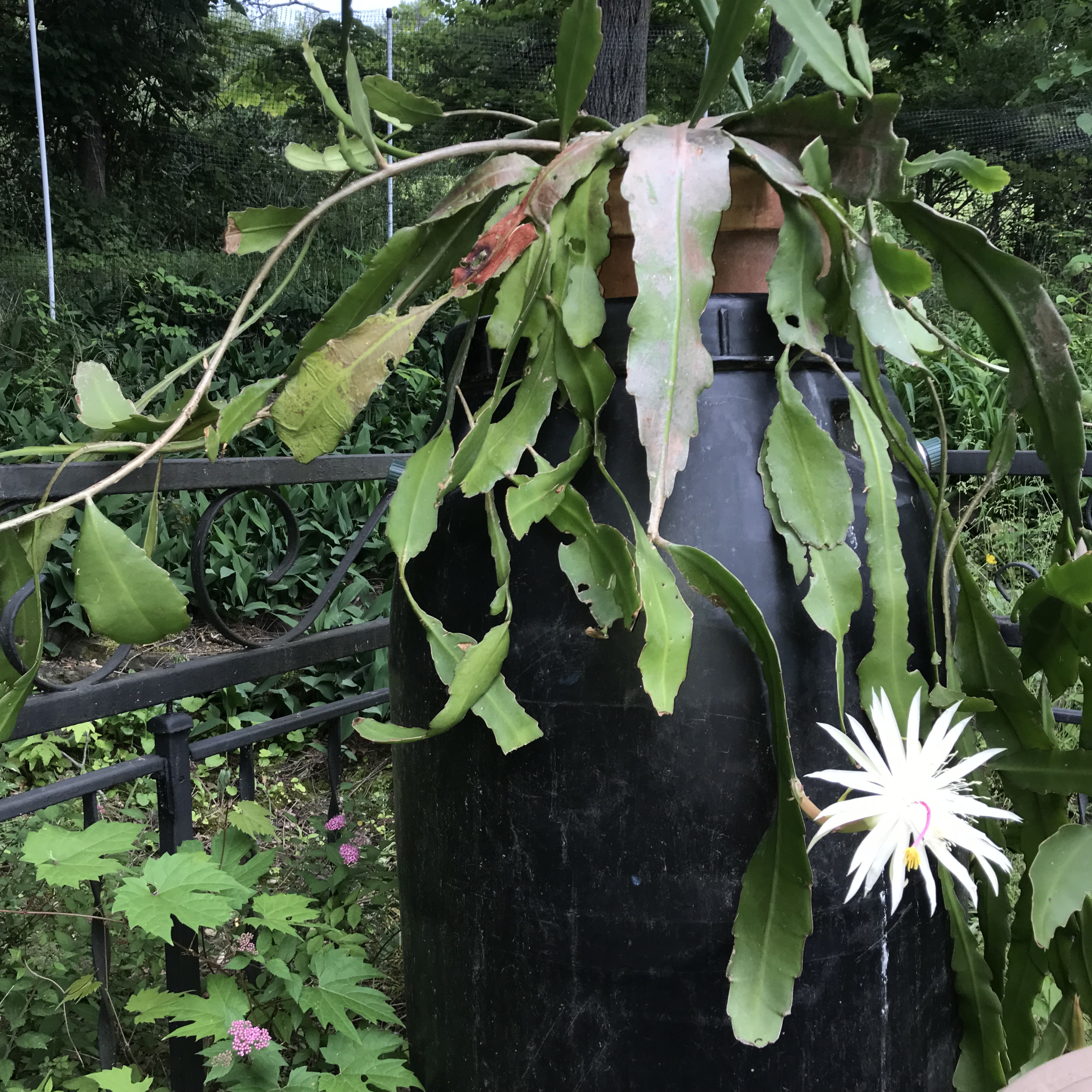
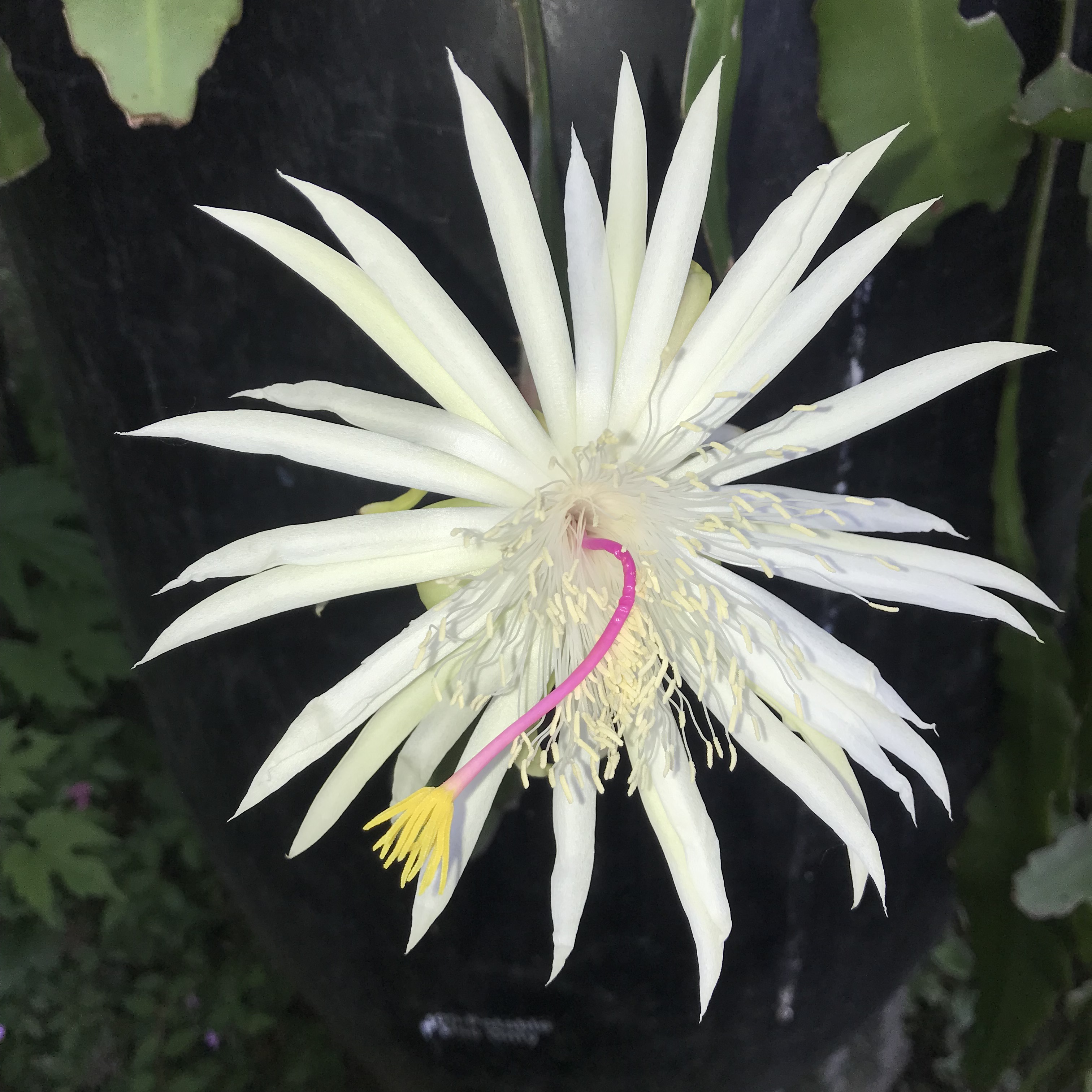
Our Night Blooming Cereus spent this winter on a stand on an eastern facing window. The day after Memorial Day it is back to the poolside rain barrel where, looking up from swimming laps June 12th, I spied the first bloom of the season.
Click pic for larger view in a new browser tab. If you are in WordPress Reader, open the post to use this feature.
I am sure it opened during the day.
I am grateful for the unexpected pleasure.
Photographs are from the Apple IPhone 7, flash enabled.
Imagine yourselves in an open cart exploring the island. Here are the photographs from my Inishmore exploration posts. Enjoy!!
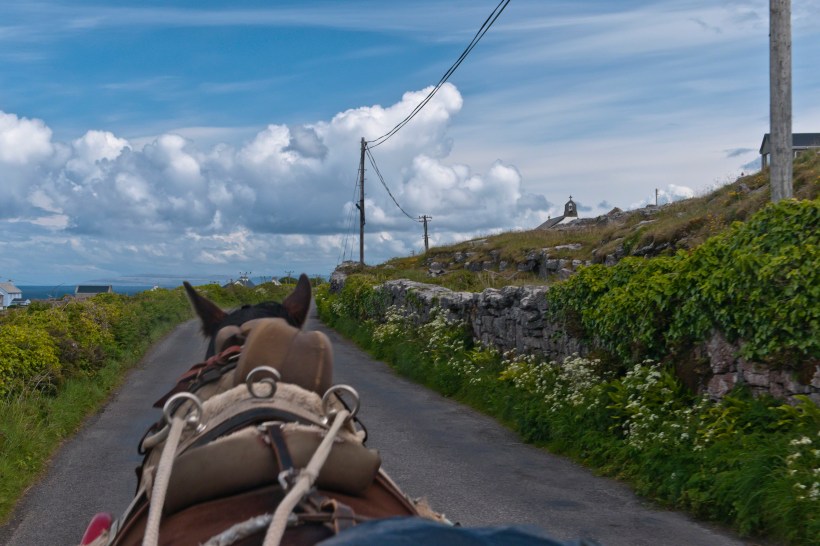
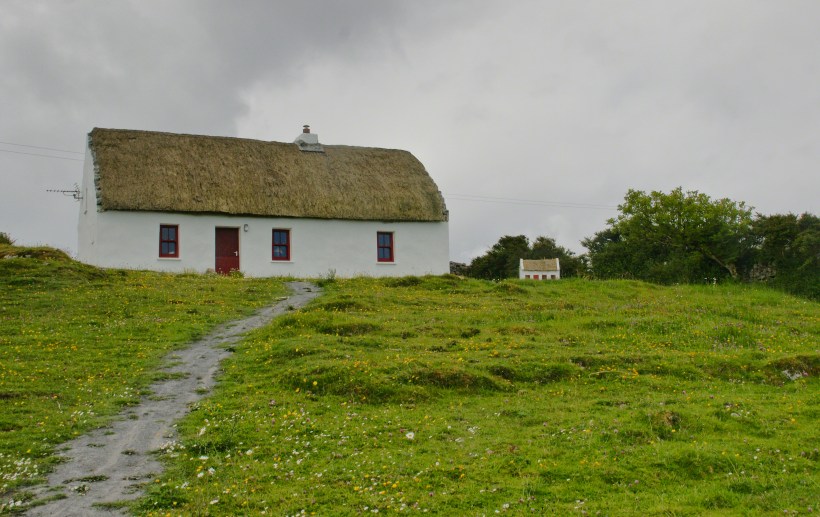
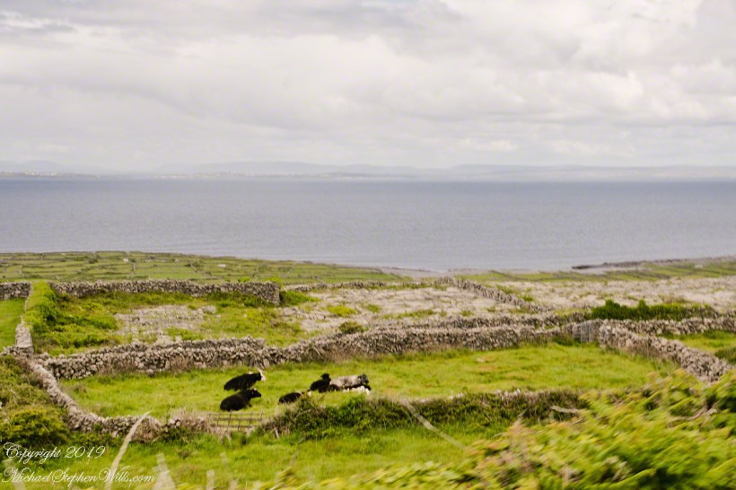
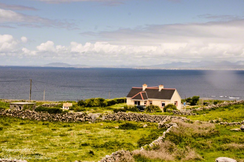
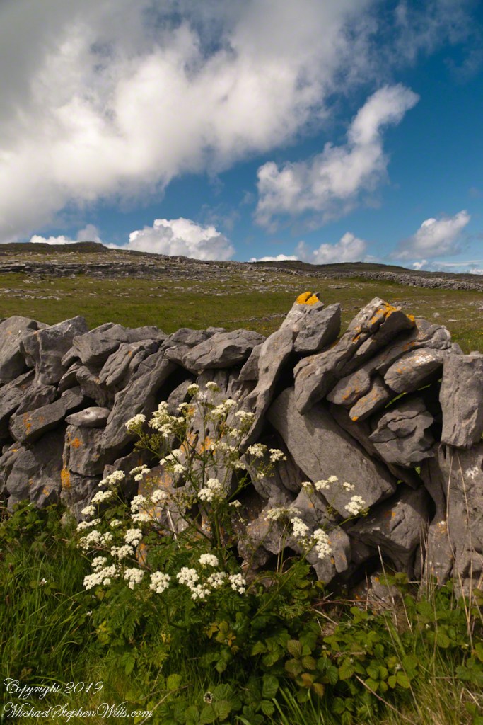
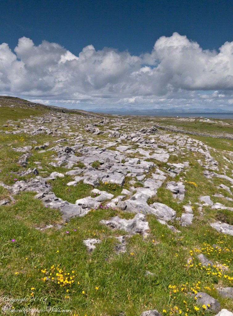
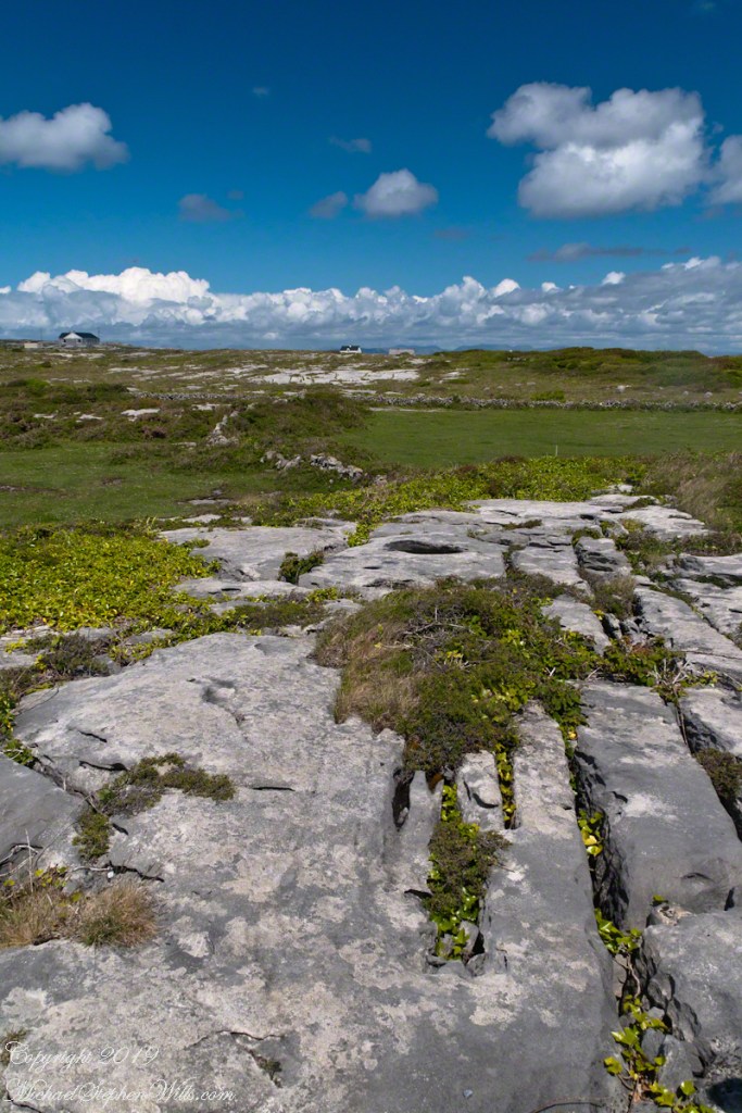
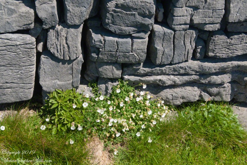
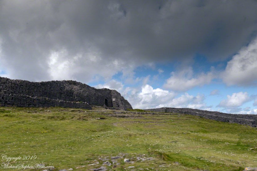
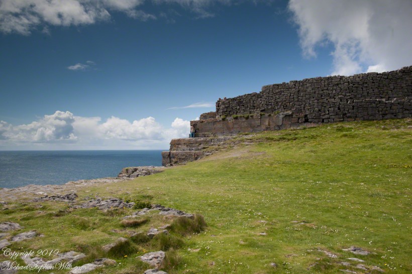
Kilronan bibycle hireView from a horse drawn trap headed down Cottage Road toward the village of Kilronan on a early June day, the island of Inishmore. On the right a stone ditch (wall), at the base the white flowers of Greater Burnet saxifrage (Scientific Name: Pimpinella saxifraga) (Irish Name: Ainís fhiáin). A steeple with bell and cross just visible. In the distance is the island of Inishmaan, the North Atlantic and Galway Bay. Aran islands, County Galway, Ireland.This ruined church is on the right side as you travel Cottage Road out of Kilronan Village, Inishmore, County Galway, Ireland. The distant highland is Inis Mann, across Galway Bay. A curious horse looks over a wrought metal gate set in a dry stacked limestone wall.Riding a horse and trap on Cottage Road from Kilronan village, Inishmore, Aran Islands, Country Galway, irelandThose bicyclists could have been us.This thatched cottage with matching child’s playhouse is on Cottage Road out of Kilronan Village on the Aran island, Inishmore, County Galway, Ireland.Roadside daisies on Cottage Road out of Kilronan village, Inishmore, Aran Islands, County Galway, IrelandNorth view from Cottage Road overlooks walled fields, karstNorth view from Cottage Road overlooks walled fields, karstAn island cottage among fields along the Galway Bay coast, the twelve pins of Connemara beyond.An island cottage among fields along the Galway Bay coast, the twelve pins of Connemara beyond.We stopped for lunch and a present for my son, a sweather purchased from the woman who knitted it.SONY DSCThe view is looking southwest from the path leading to Dun Aonghasa in springtime. We see here dry stone wall of limestone laid in a pattern suggestive of herringbone, splotches of orange lichen mark the stones. Against the wall is growing a variety of plants. The prominent white flowers are Greater Burnet saxifrage (Scientific Name: Pimpinella major) (Irish Name: Coll an dromáin). Beneath are leaves of Wild Strawberry (Scientific Name: Fragaria vesca) (Irish Name: Sú talún fiáin) as well as fern and grass. Beyond the wall is karst landscape rising to the ridge. Above the ridge, storm clouds gather. Inishmore, Aran Islands, County Galway, Ireland.This defensive structure called a Cheval de fries field surrounds Dun Aonghasa (Dun Aengus). This northwest view looks across the field and surrounding defensive walls. It is an early June day and, in the foreground, are colorful wildflowers among the limestone shards and blocks. Inishmore, Aran Islands, County Galway, Ireland.Looking North, Northwest across the slopes below Dun Aonghasa (Dun Aengus), InishmoreWalled Path to Dun Aonghasa (Dun Aengus) with Island Landscape, InishmoreKarst landscape with Green Field and Clouds, InishmoreInishmore LandscapeKarst Landscape with Interior Walls of Dun AonghasaDetail of Dun Aonghasa Dry Stone Wall with White Flowers of SeaAncient Fort Entrance, Dun Aonghasa (Dun Aengus)Ancient fort wall with tourists and Cliff Edge of Dun Aonghasa (Dun Aengus)View east, southeast from the Cliff Edge of the Ancient fort walView east, southeast from the Cliff Edge of the Ancient fort walRoadside Shrine and Island Landscape, Inishmore, Aran Islands, County Galway, Ireland
Copyright 2019 All Rights Reserved Michael Stephen Wills
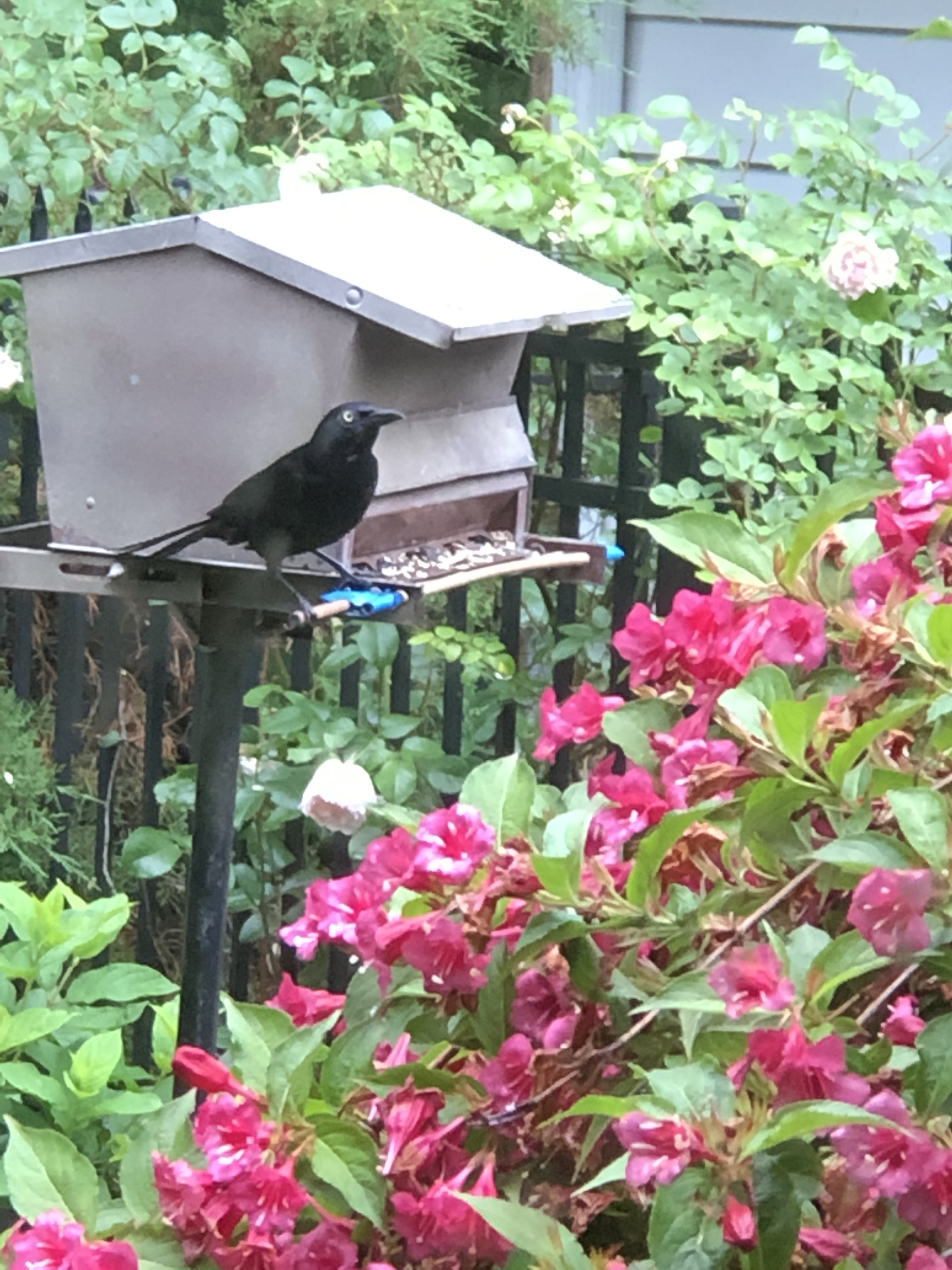
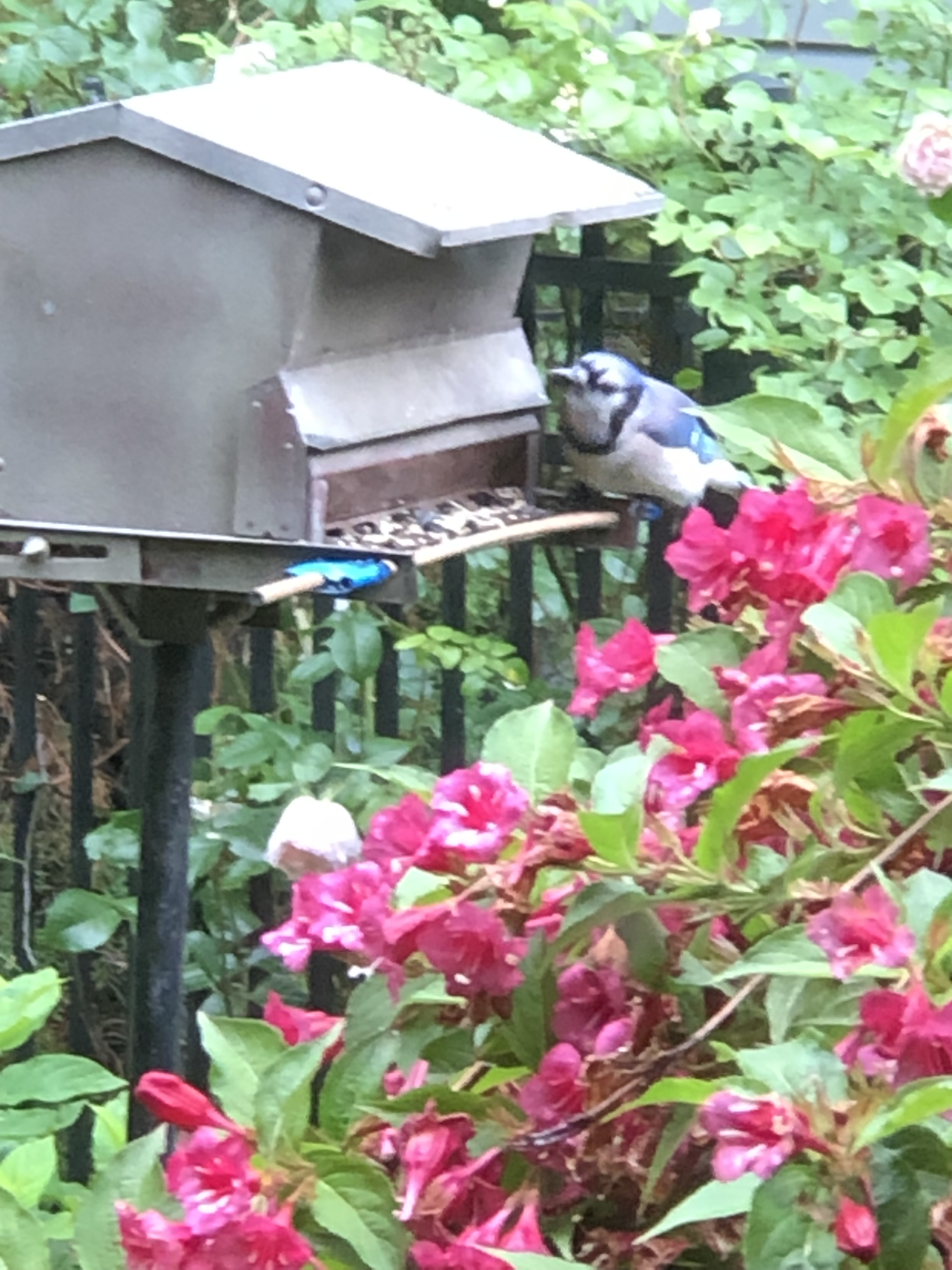
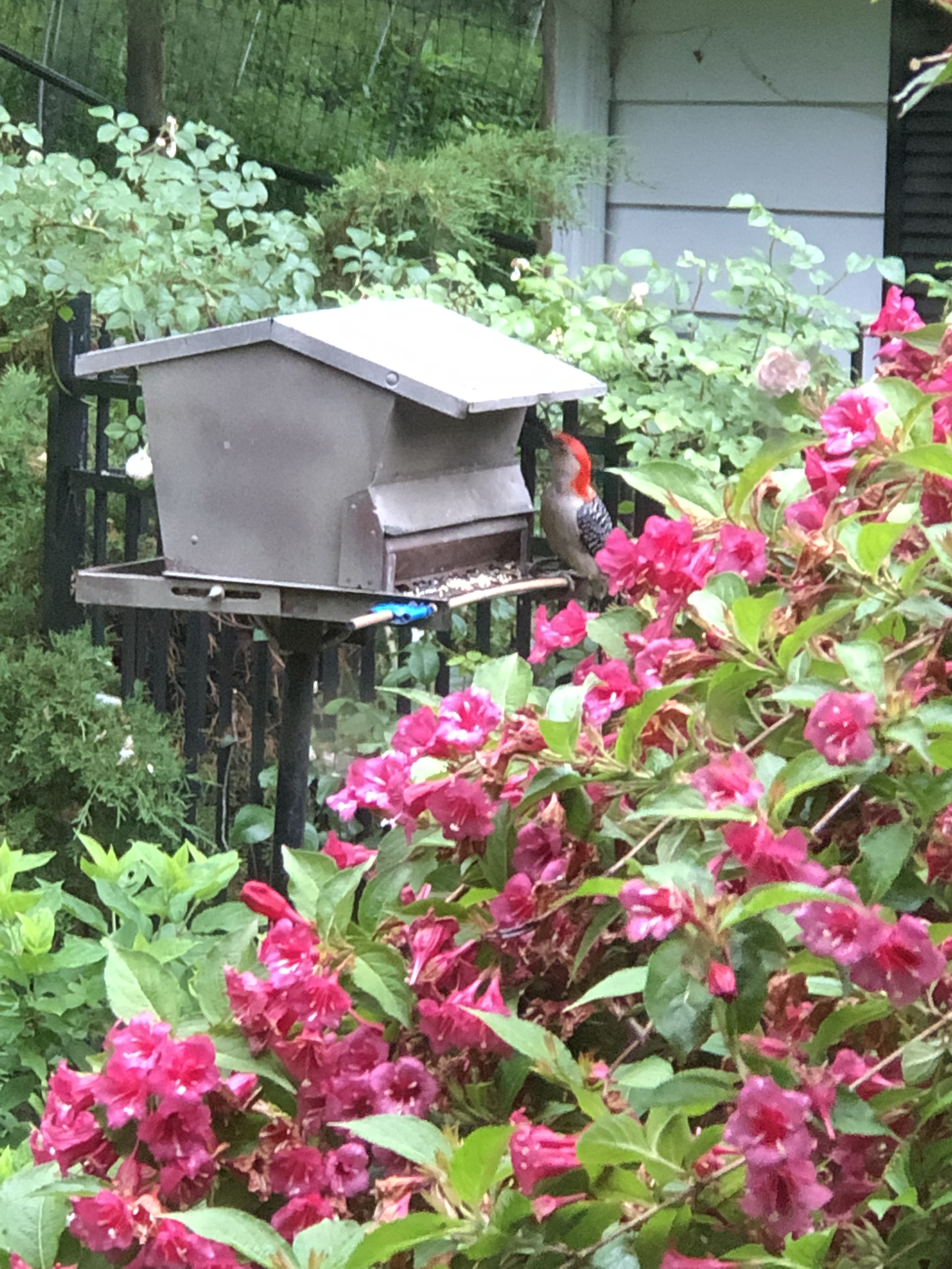
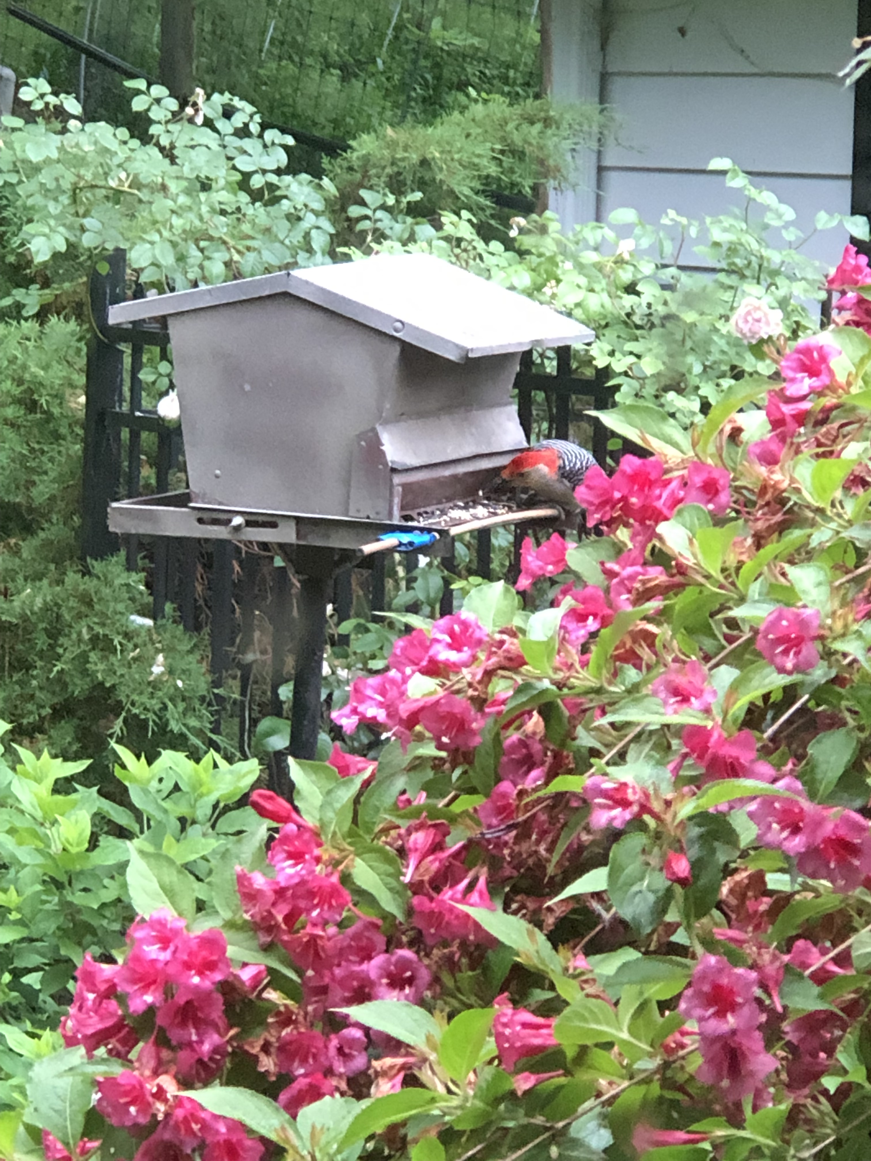
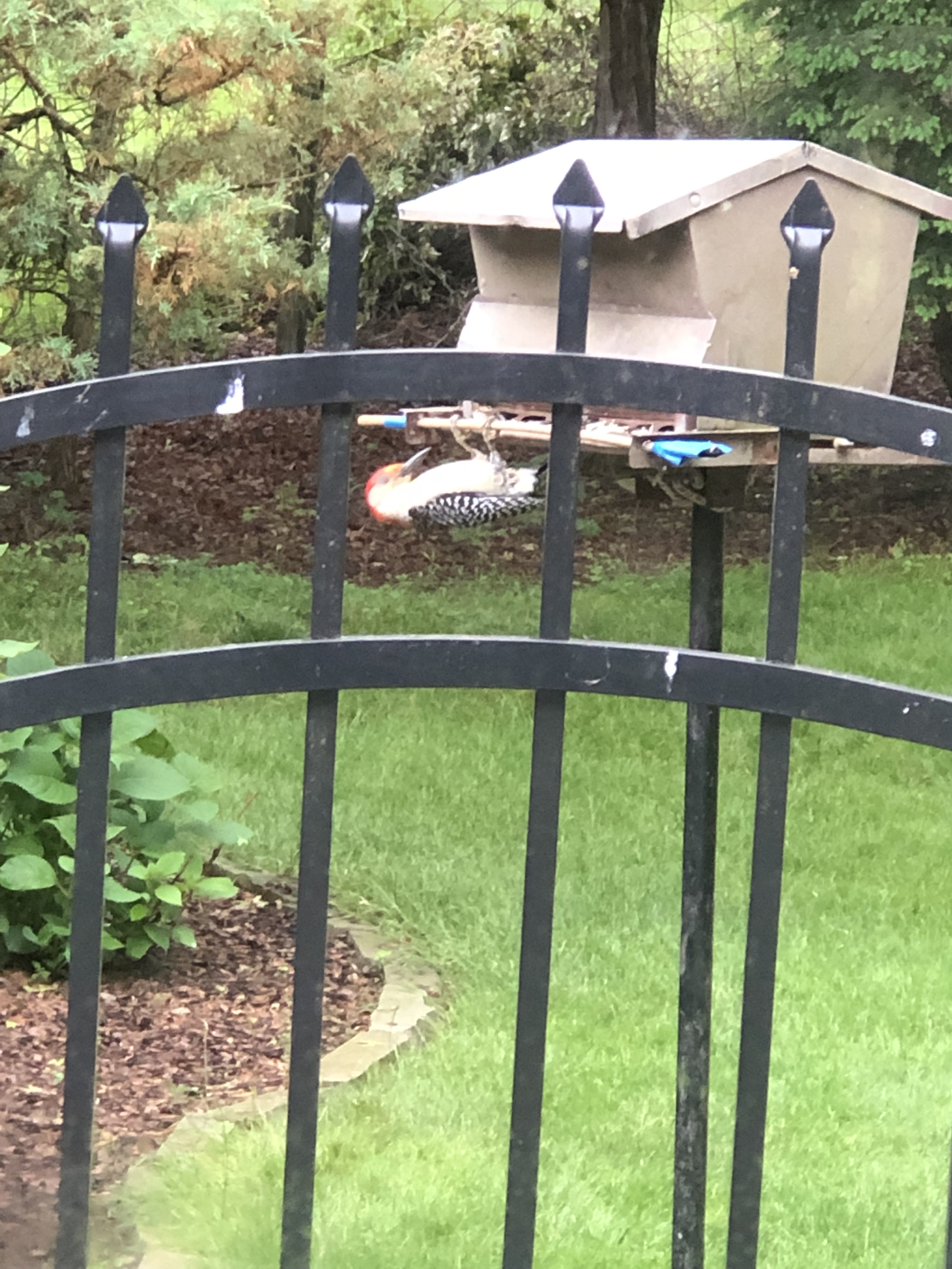
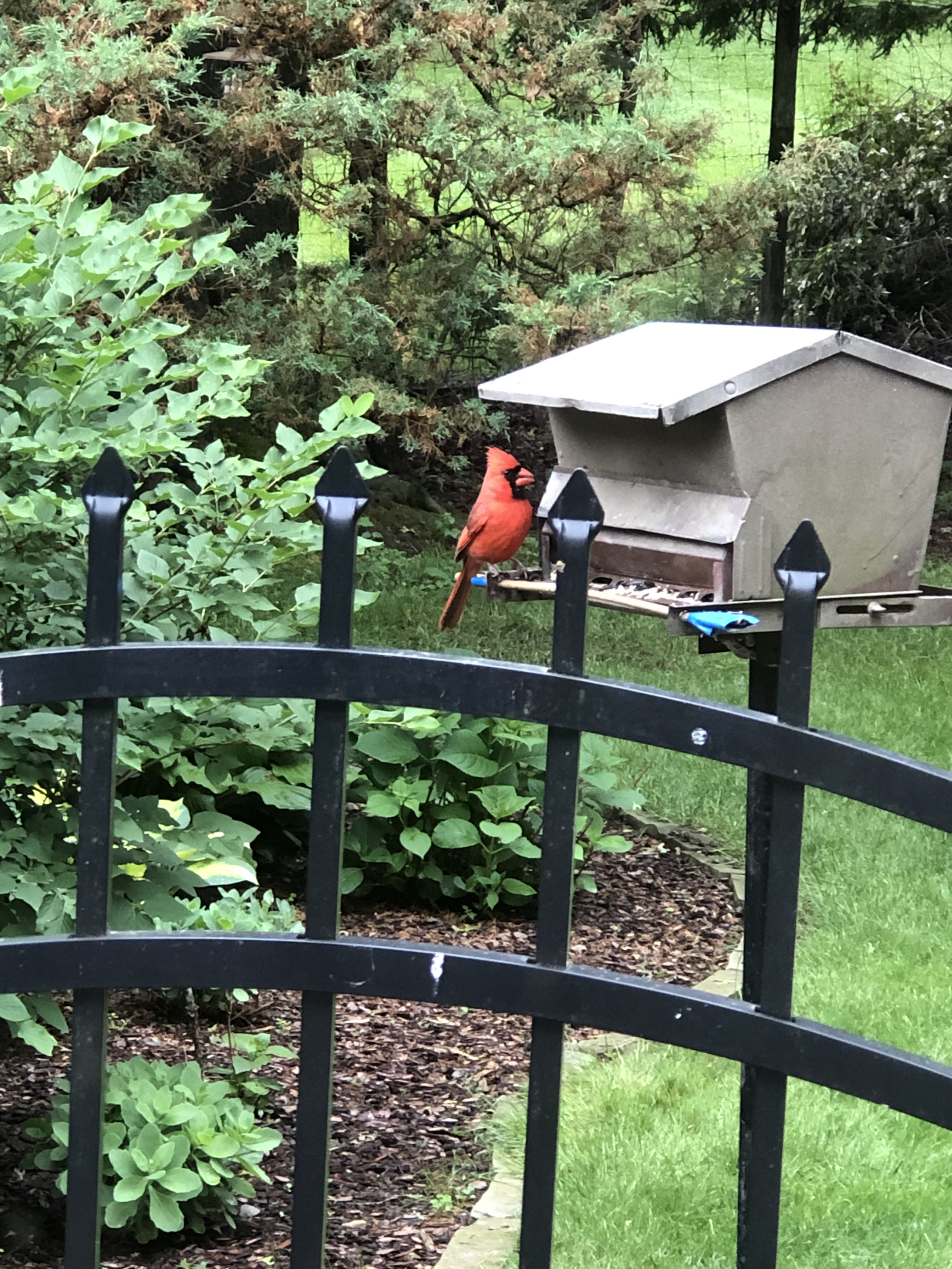
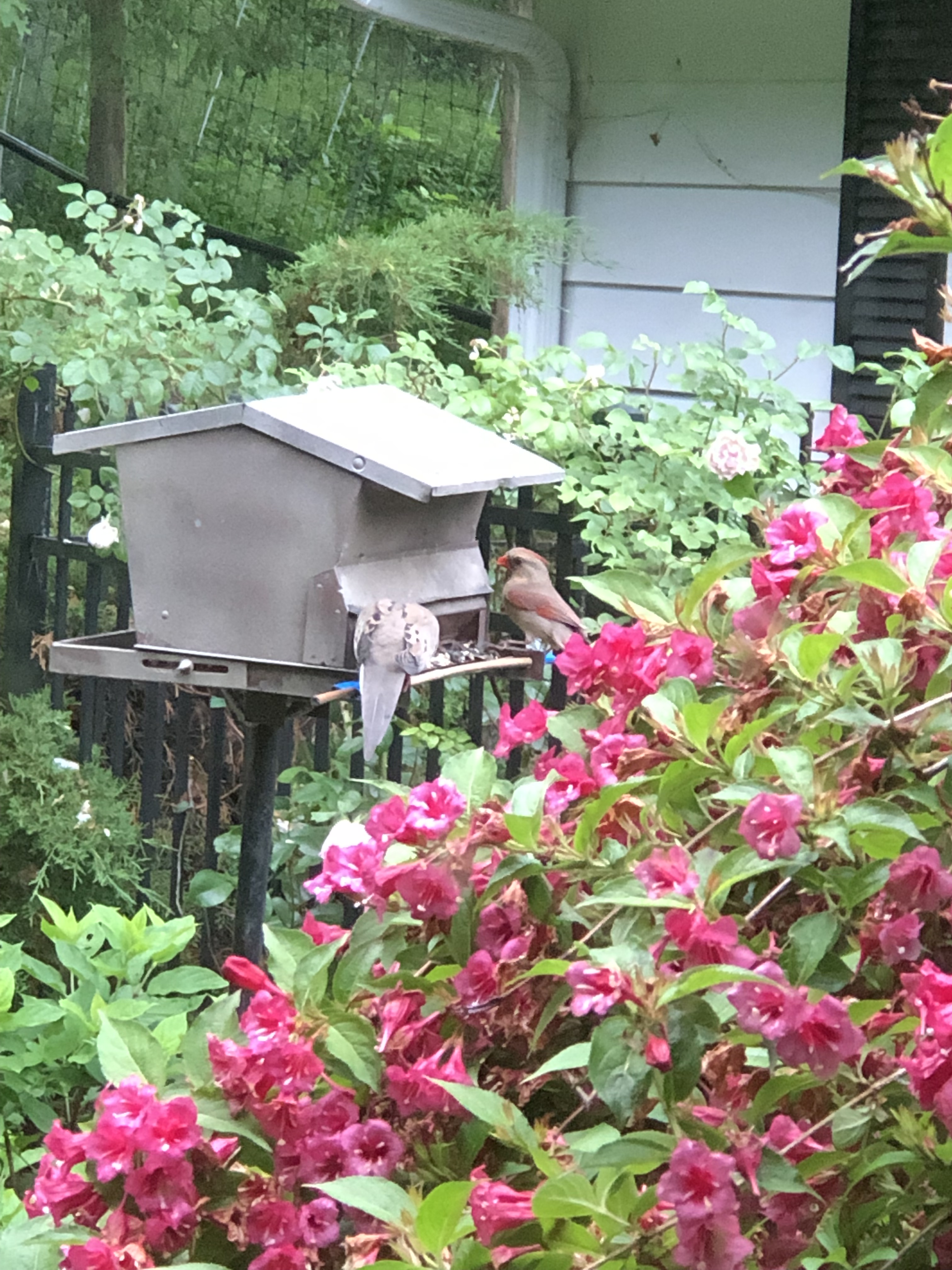
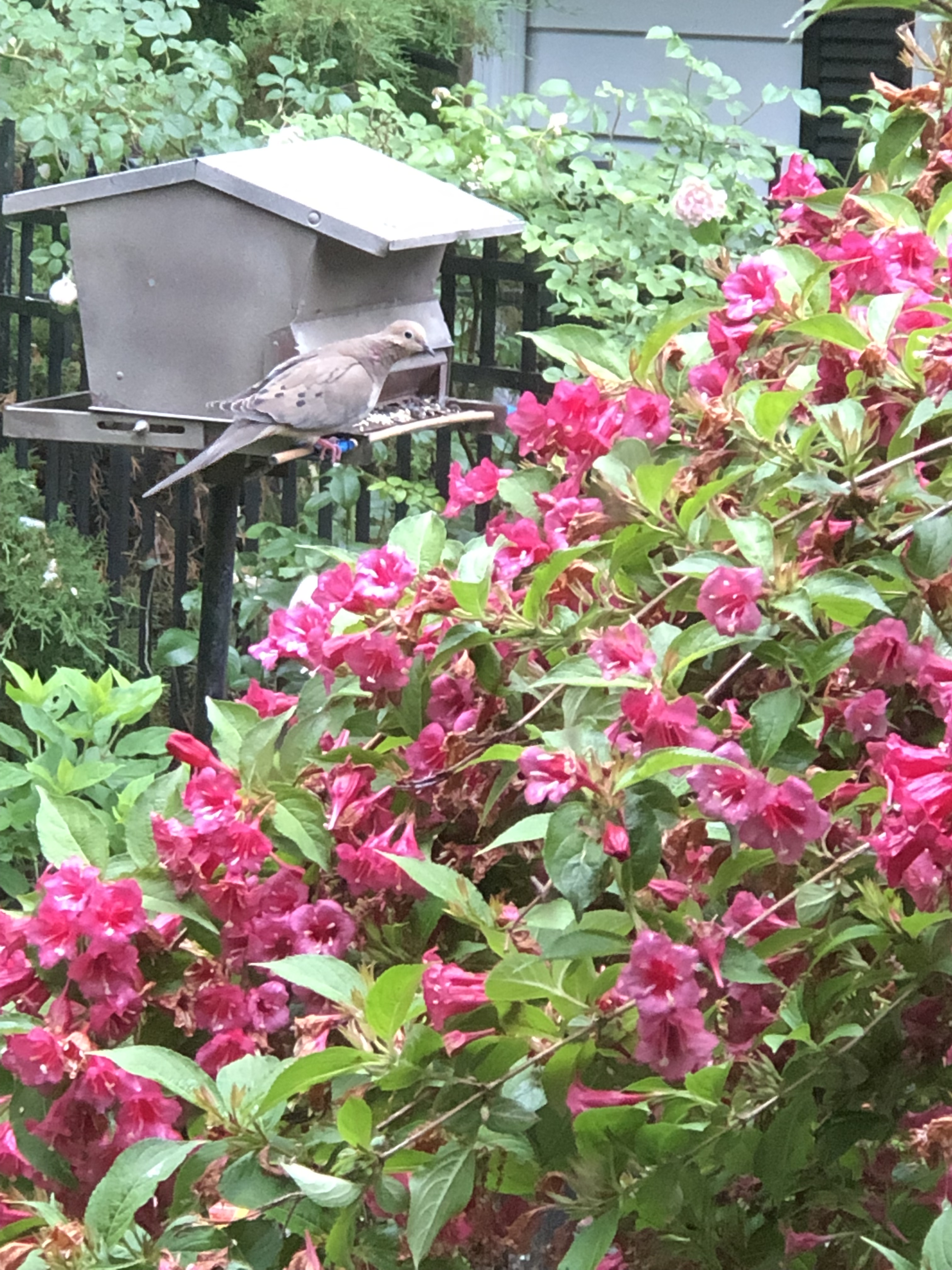
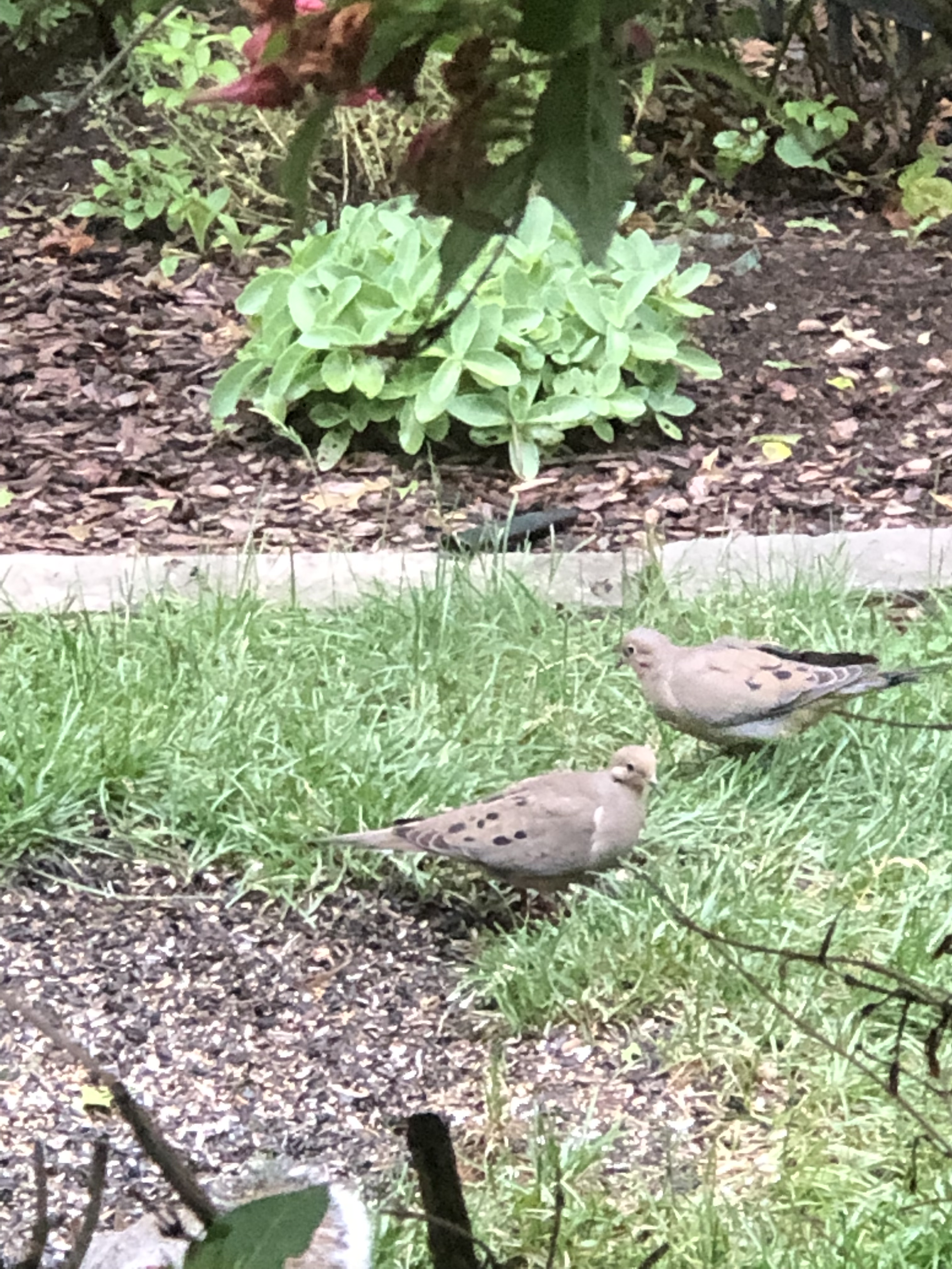
Sad to say, today, Sunday June 12th, the flowering bush is spent, the blooms withered and falling. Pam took time to document some visitors while the Weigela was in its glory. This is a sample of the species we enjoy while washing the dishes.
GrackleBlue JayRed Bellied WoodpeckerWe also have Downy, Hairy and Pileated WoodpeckersThe name “Red Bellied” is a mystery to me.Male CardinalDove and female CardinalMourning DoveWe have a huge dove population, supported by our feeder.
These photographs were taken by Pam through our windows with her Iphone 8 plus.
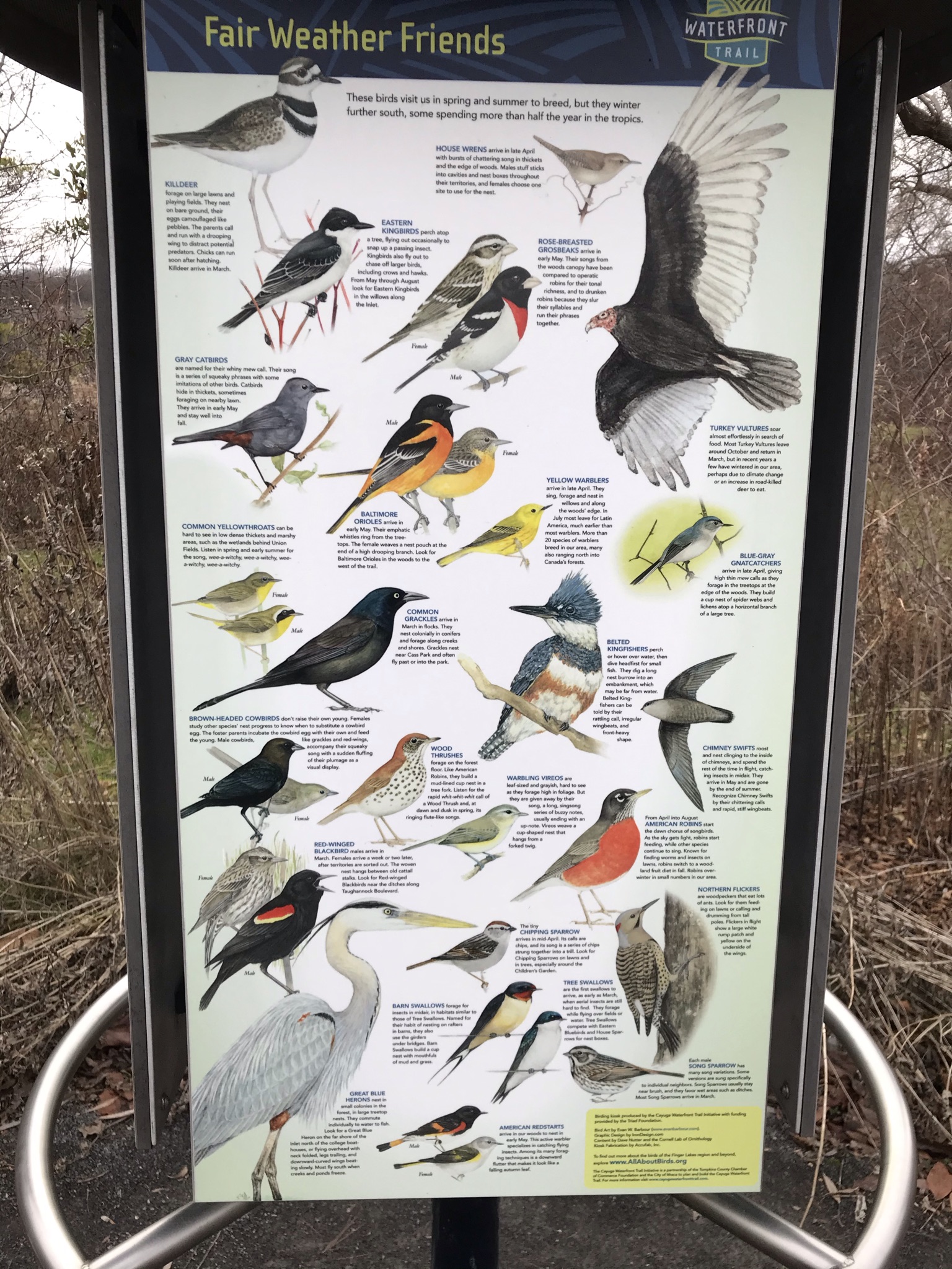
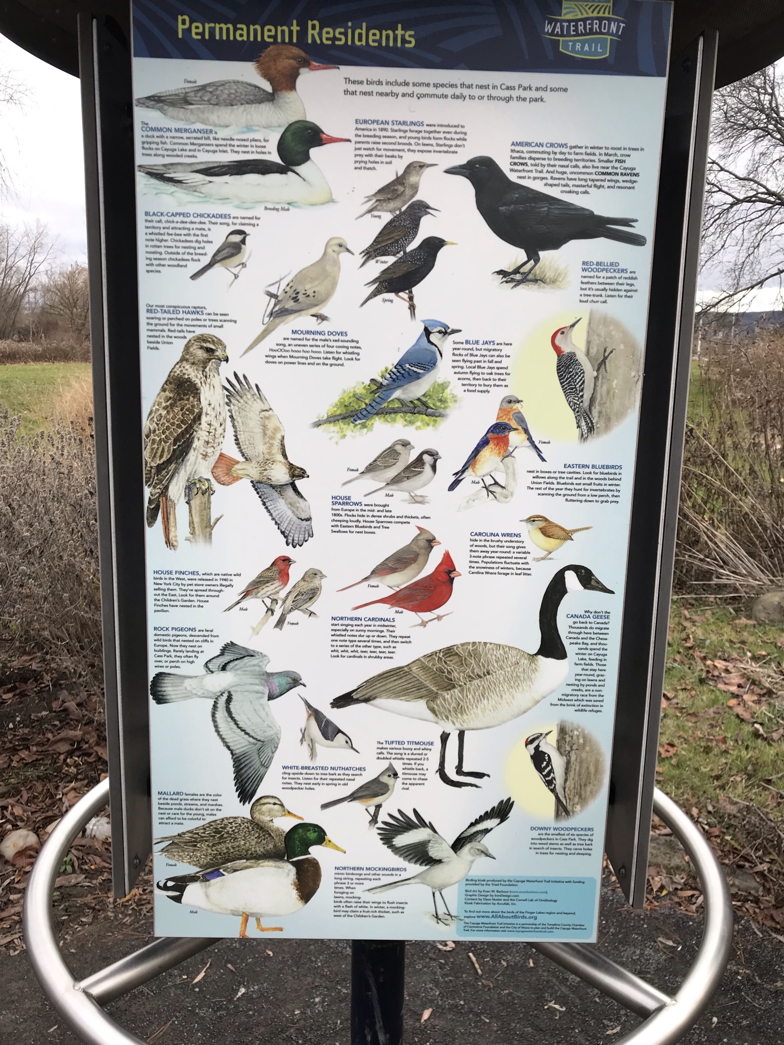
Here is a series of informative signs from Cass Park, just down the hill on the Cayuga Lake Inlet. Pictured are resident birds, most of them visited our backyard feeder.
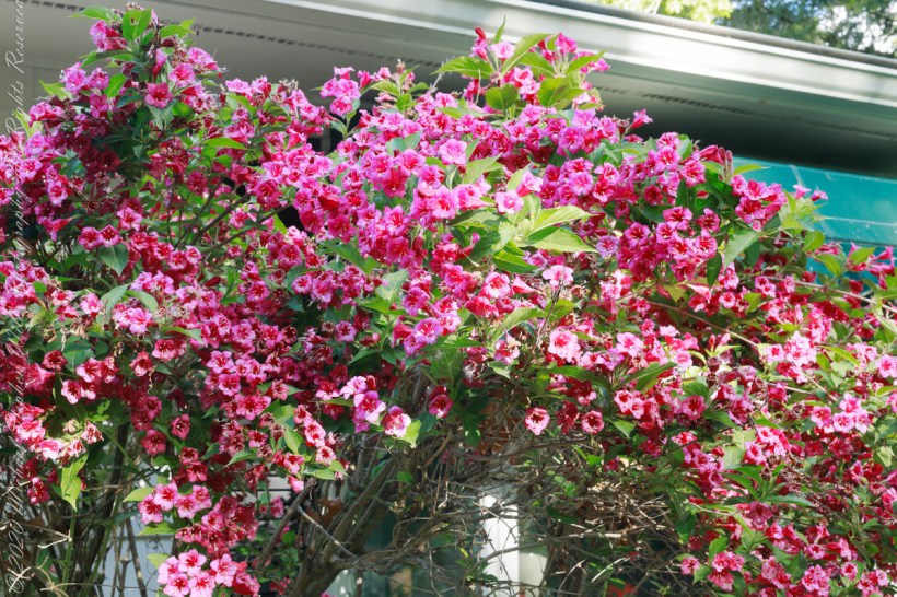
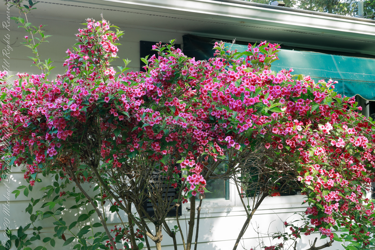
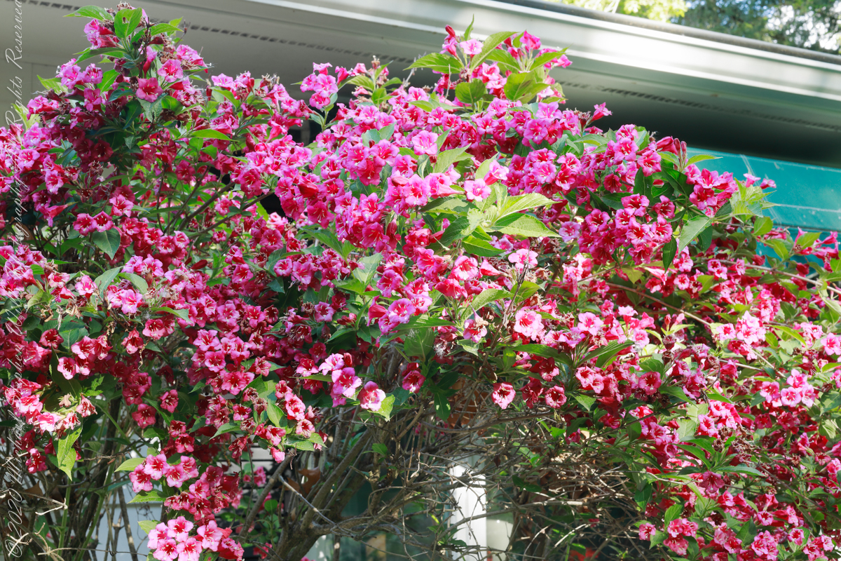
2022 is a breakout year for the Weigela bushes of our yard, each has bloomed literally for a month. The flowers are still fresh today.
Click either photograph to view a larger image on a new browser tab.
These photographs were taken with a Canon EOS 5D Mark IV dslr and the Canon EF 50mm f/1.2L USM lens with a “BeFree” Manfrotto tripod with ball head. f-stop was tamped down to the maximum, f16 for this lens. Exposures were taken in the evening with the sunlight filtered through our hemlock trees.
Copyright 2022 All Rights Reserved Michael Stephen Wills
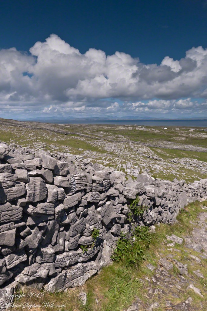
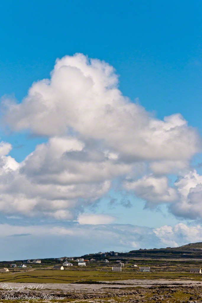
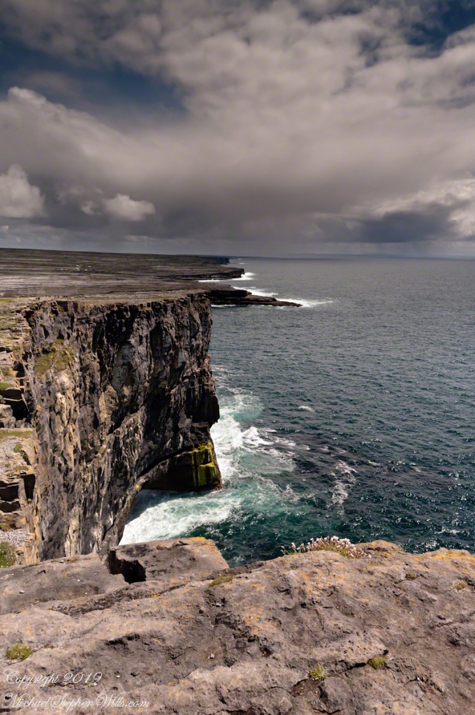
From the commanding location of Dun Aonghasa, looking northeast across Inishmore island, we can understand why the ancient builders chose this location.
We also see the transition from exposed limestone to the fields built literally from the ground up (see my post “The How of Soil”). For a closer view of island houses see my posts “Settled In” and “Cottage Road Cottage.”