PeruRail to Machu Picchu IX

Urubamba River or Vilcamayo River (possibly from Quechua Willkamayu, for “sacred river”)

Click Me for my Online Gallery

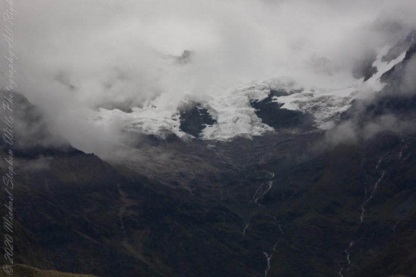
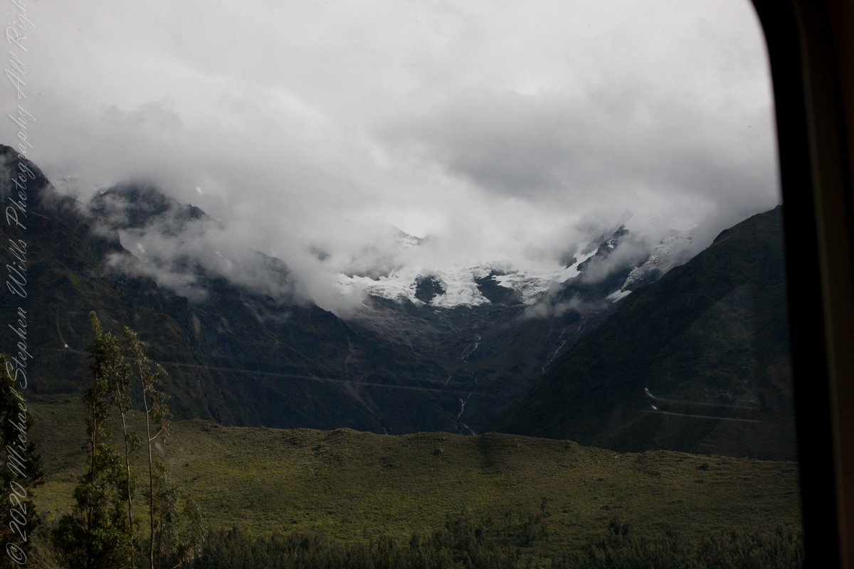
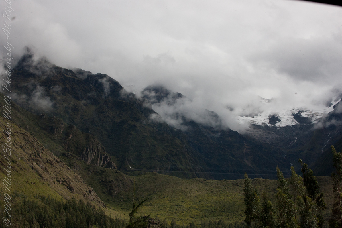
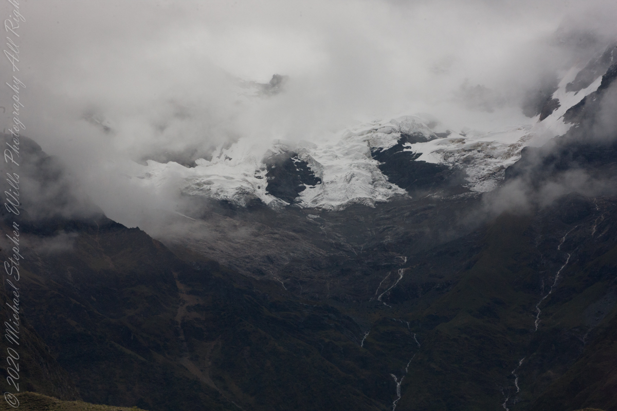
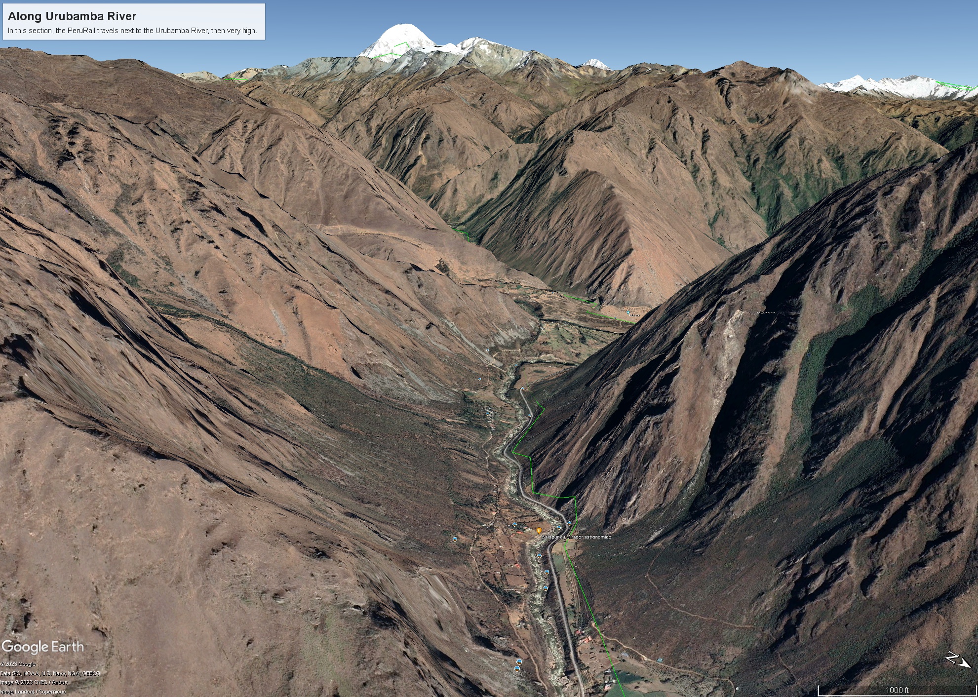
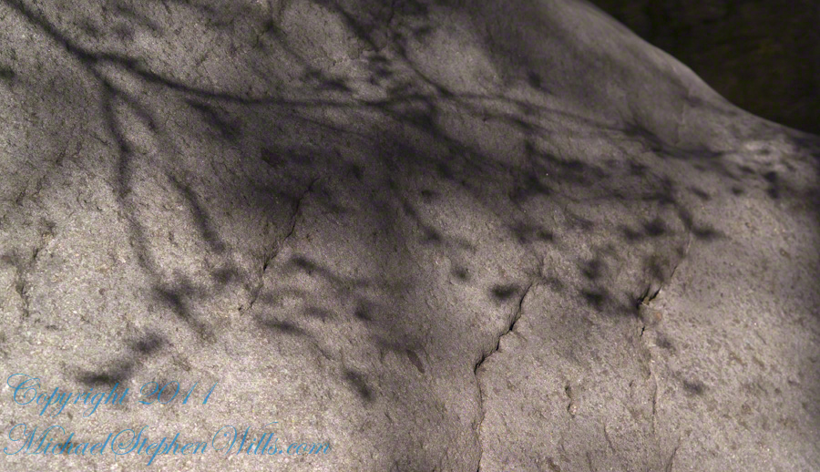
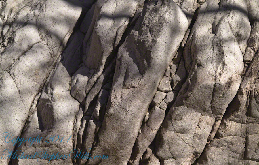
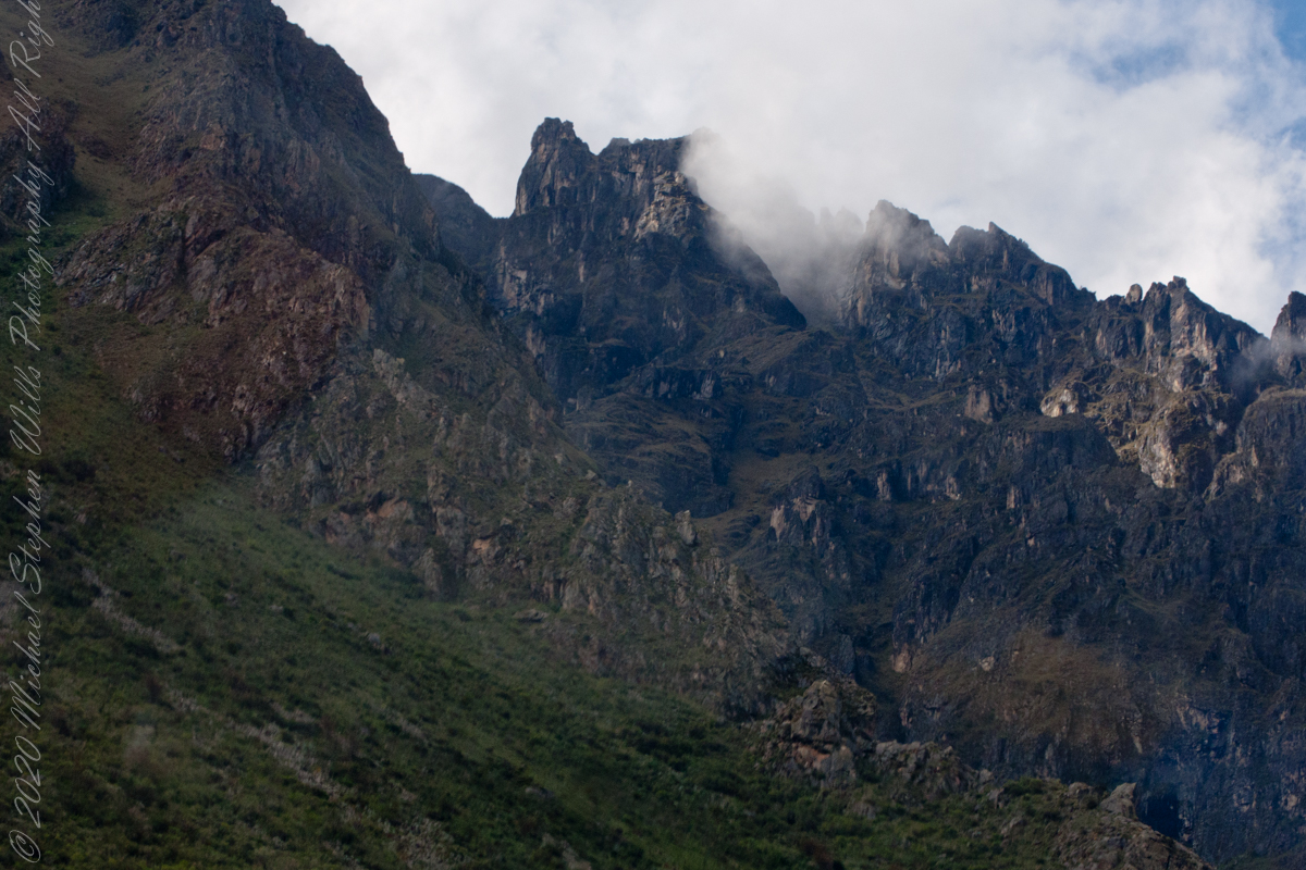
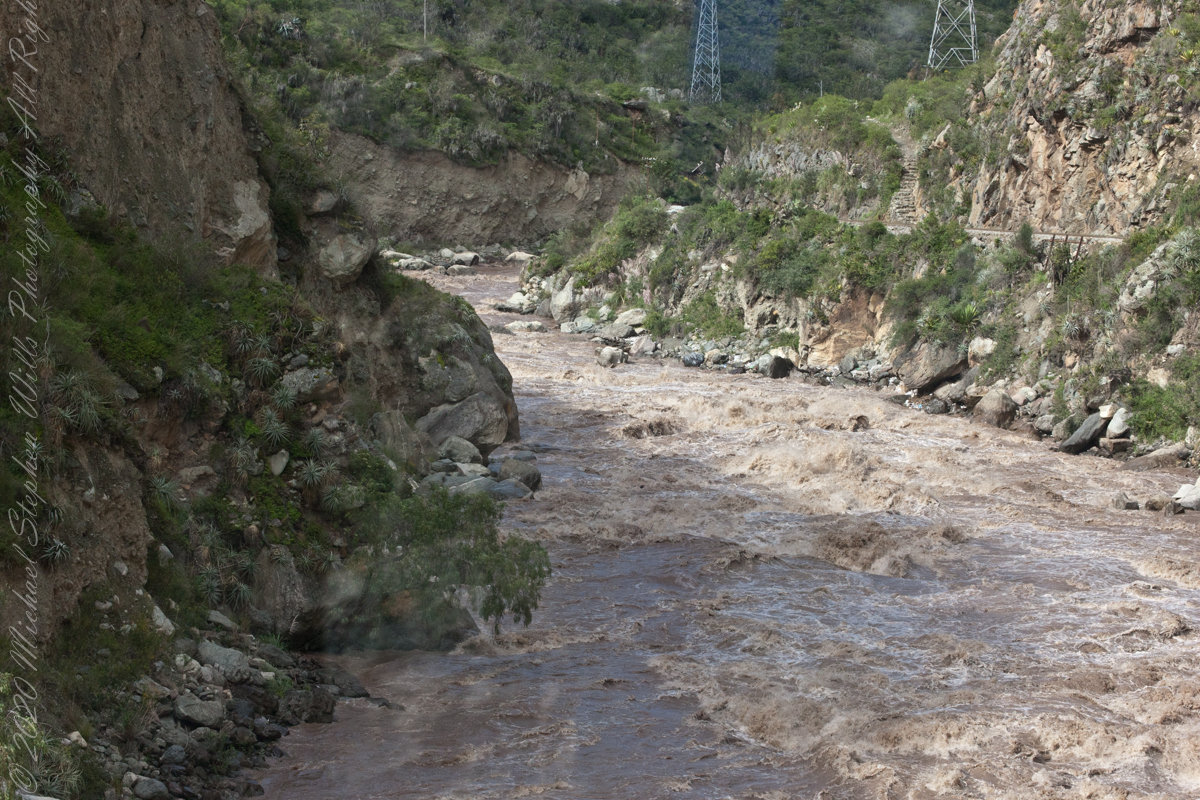
As we crossed the border of the Historic Sanctuary of Machu Picchu the valley walls rose steeply on either side, the land transitioning to rain forest.

Google Earth We approach the border of the Historic Sanctuary of Machu Picchu

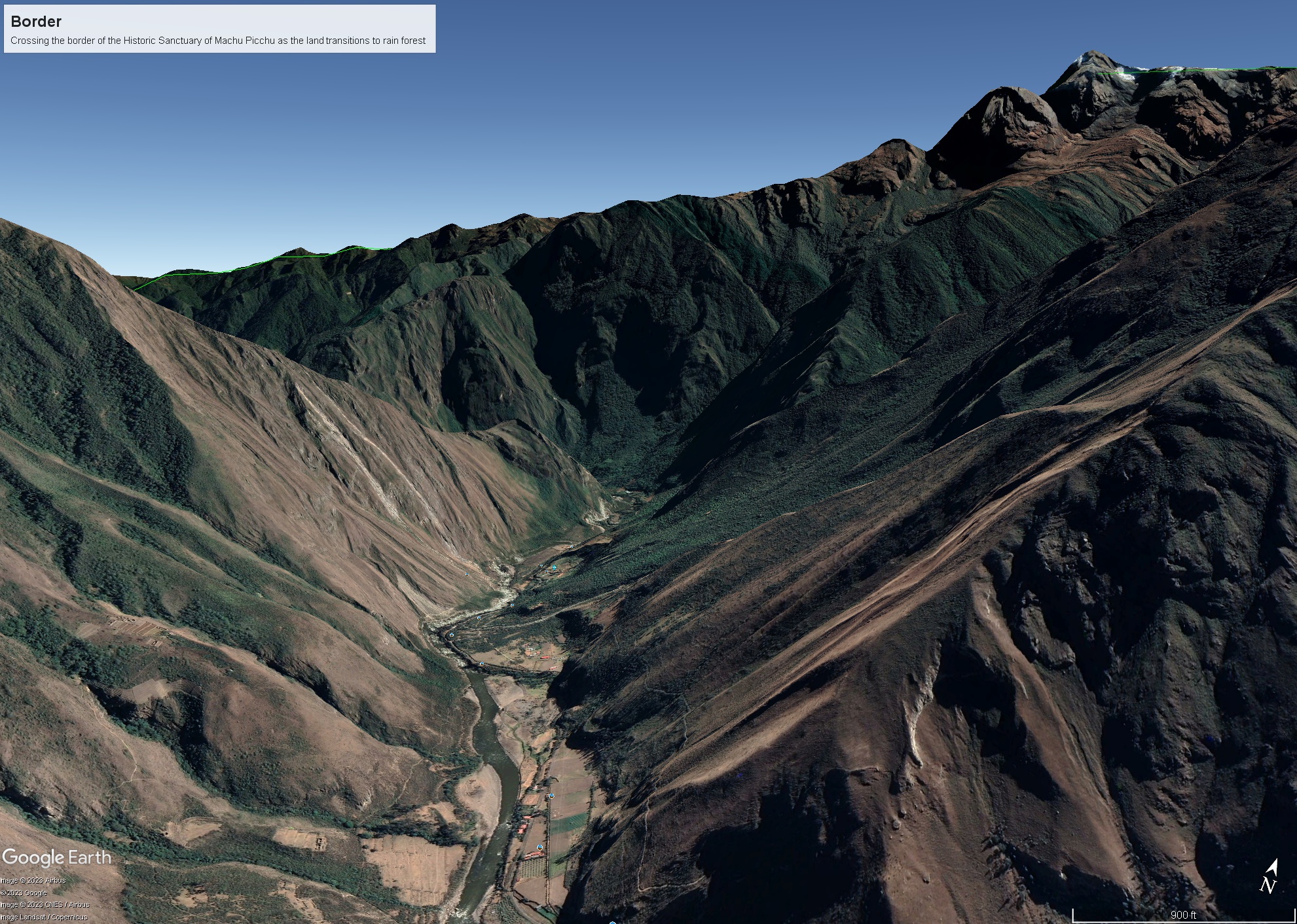
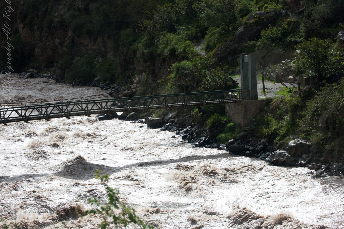
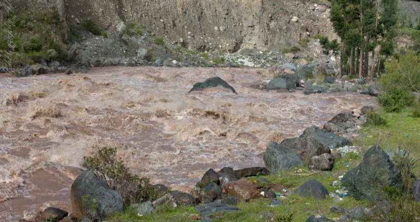
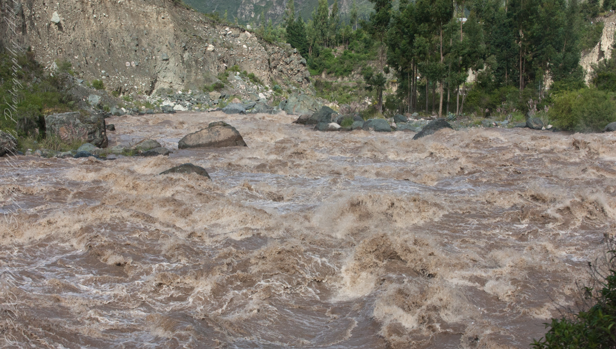
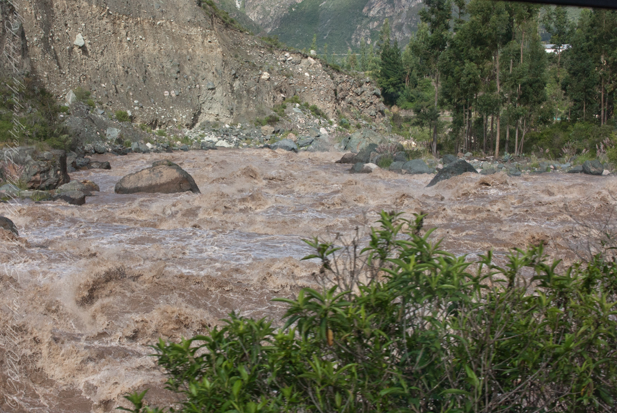
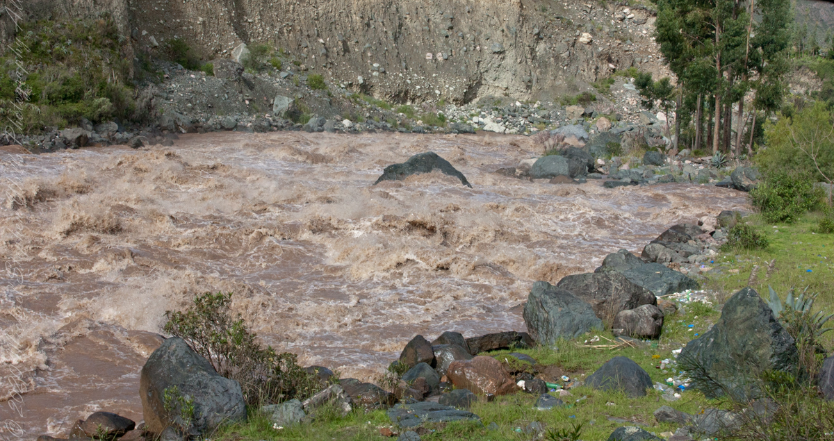
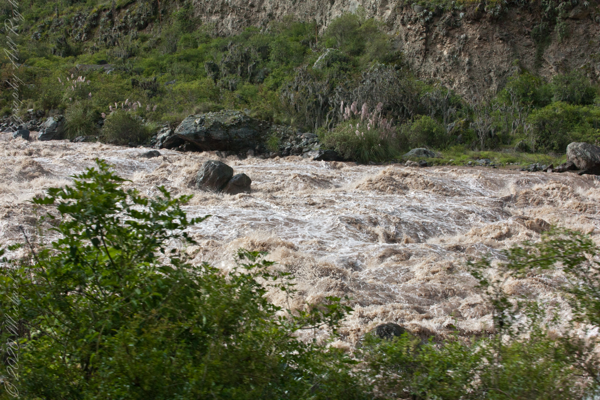
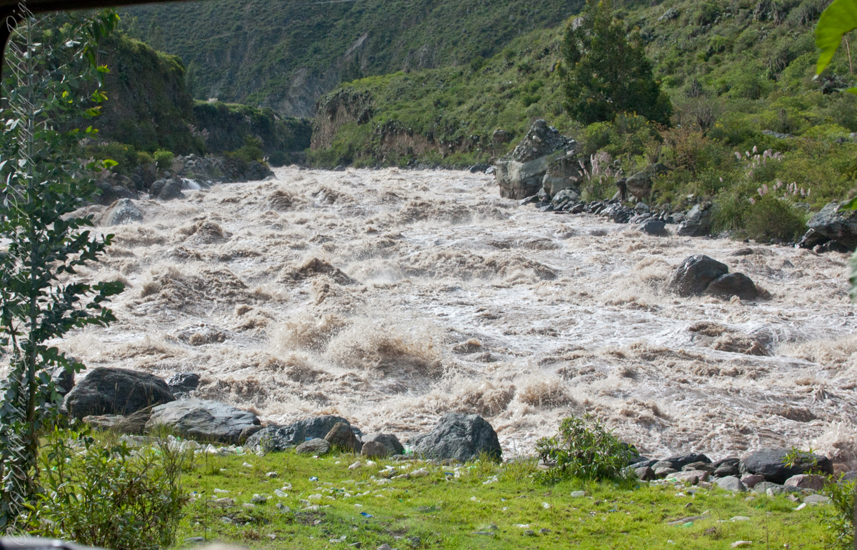
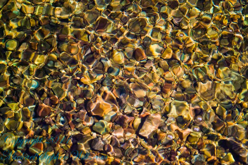
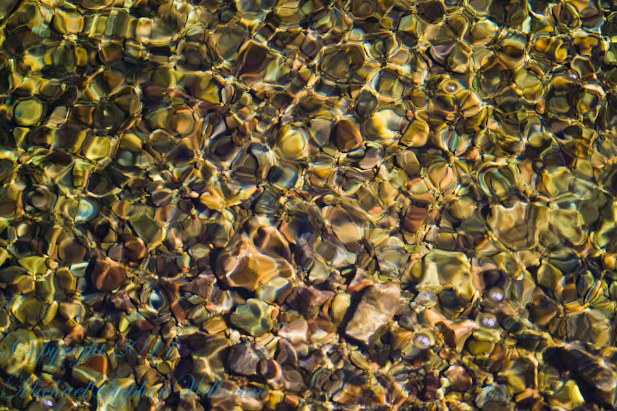
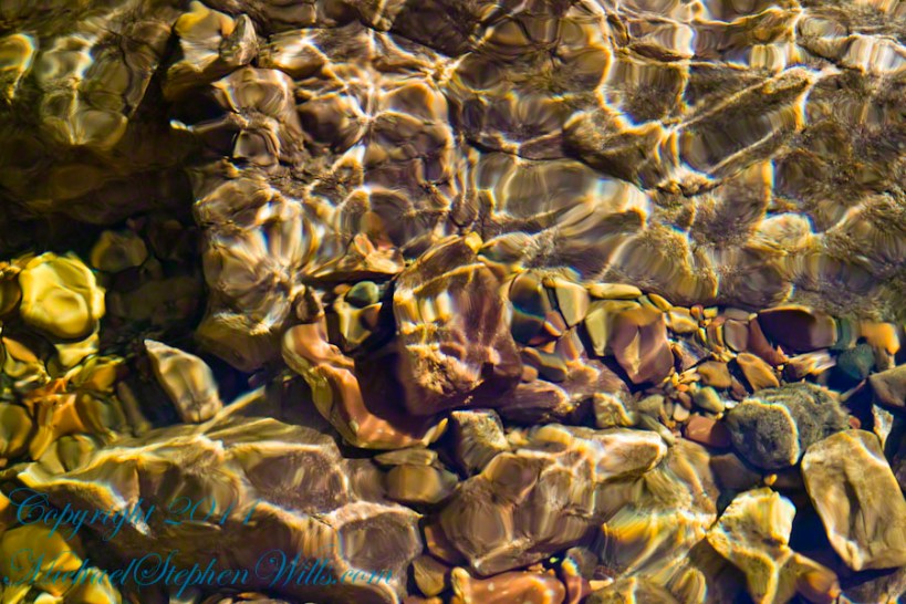
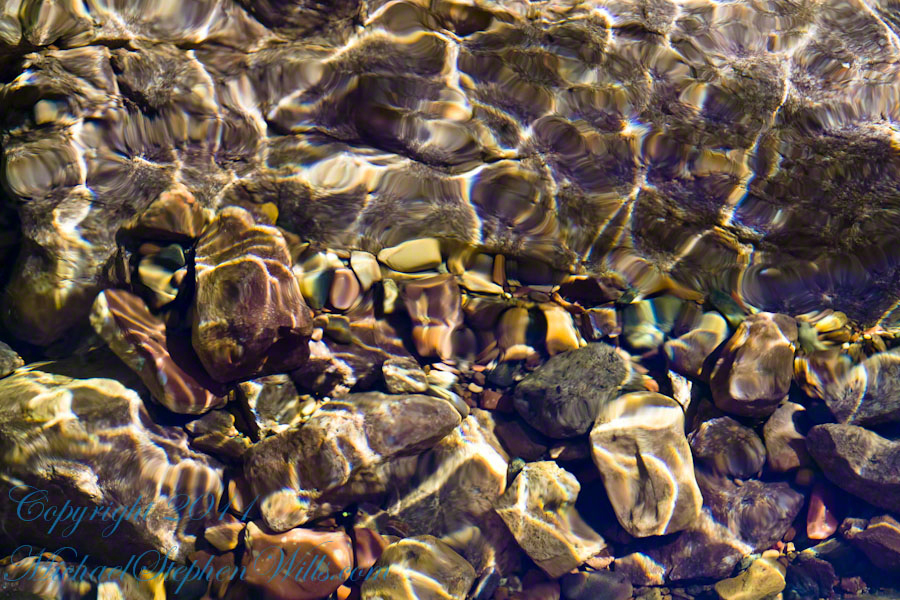
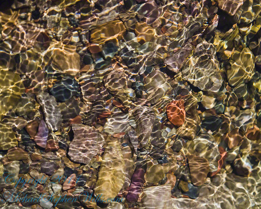
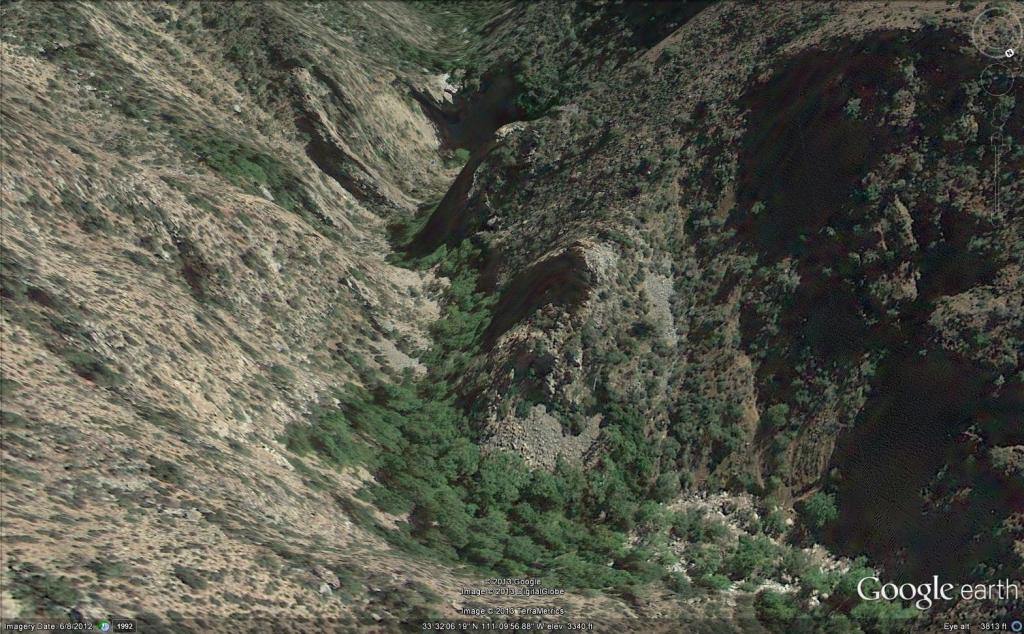
We entered a short tunnel through a mountain ridge, providing us this close view of the Urubamba River.

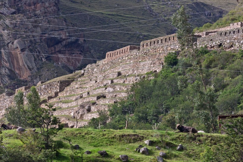
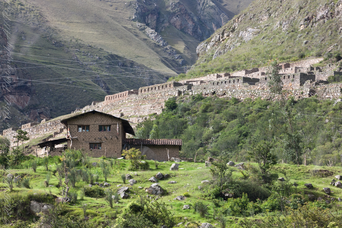
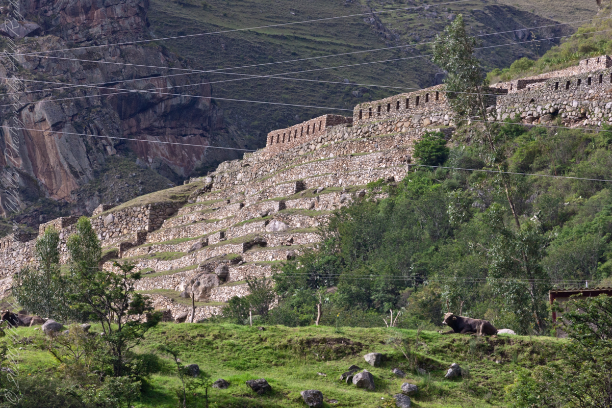
Next we came upon the Toronto Ruins.

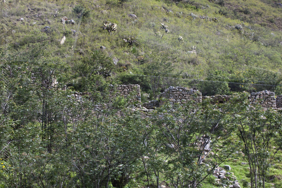
The Toronto complex includes seven (7) archaeological groups and is in front of the Q’ente Complex, separated only by the Urubamba River, possibly they were independent chiefdoms with a strong economic bond.

The seven (7) archaeological groups are Torontoy: The local farmers call it Inkaperqa or Inca raqay, alluding to what they see. In this place we can find a main doorway, several groups of enclosures, patios or free areas separating the buildings, vestiges of a liturgical bath and a central enclosure with a lithic piece of more than 40 angles that joins other twenty-eight pieces with exact interlocking in the joints.

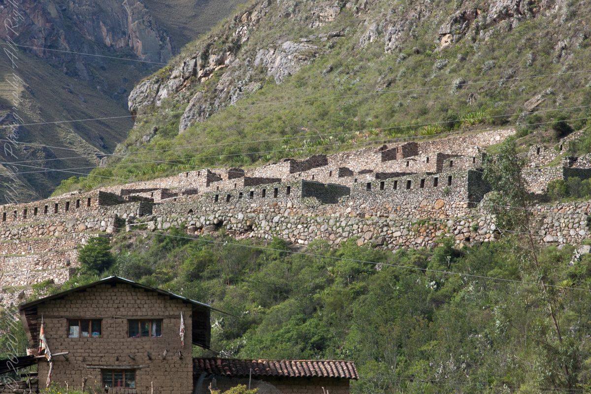
Salapunku: means hall door in the Inca language, because what is most obvious is a wide door that is on a platform that runs as a street in front of the wall. Behind the door we find cyclopean platforms and plains with remains of stairways, interior roads and remains of aqueducts. Qhanabamba translates to pampa where the grass “qhana” grows. It is at the height of Km. 85 of the railroad line. We can find a series of one-story buildings and a two-story building which is the largest. Wayrajpunku: meaning windy door (alluding to a windy place). In this group we find remains of buildings and a partially standing enclosure, there are vestiges of aqueducts, paths and overcrowding of canted stones that were part of constructions.

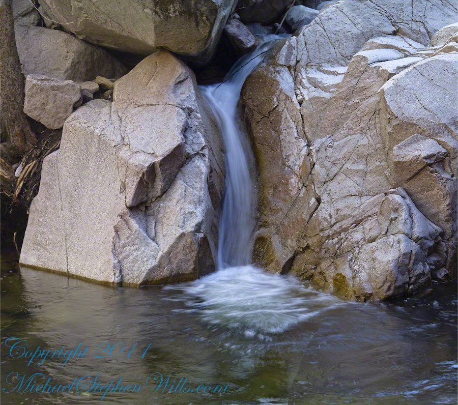
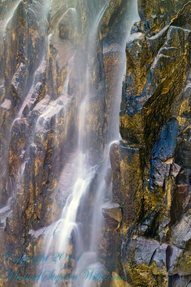
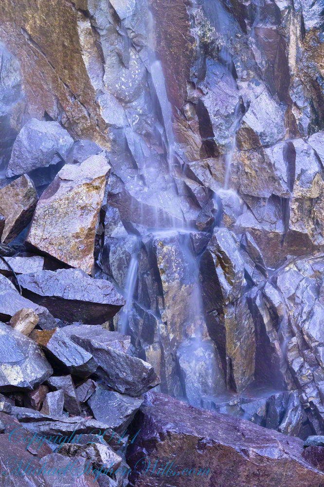
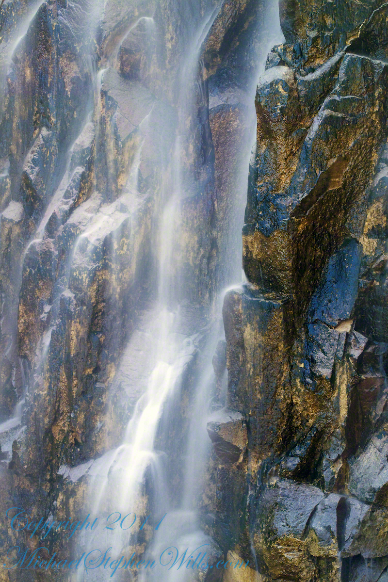
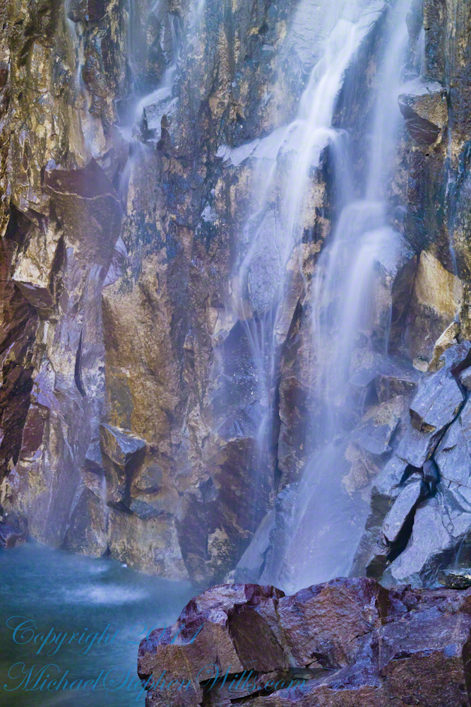
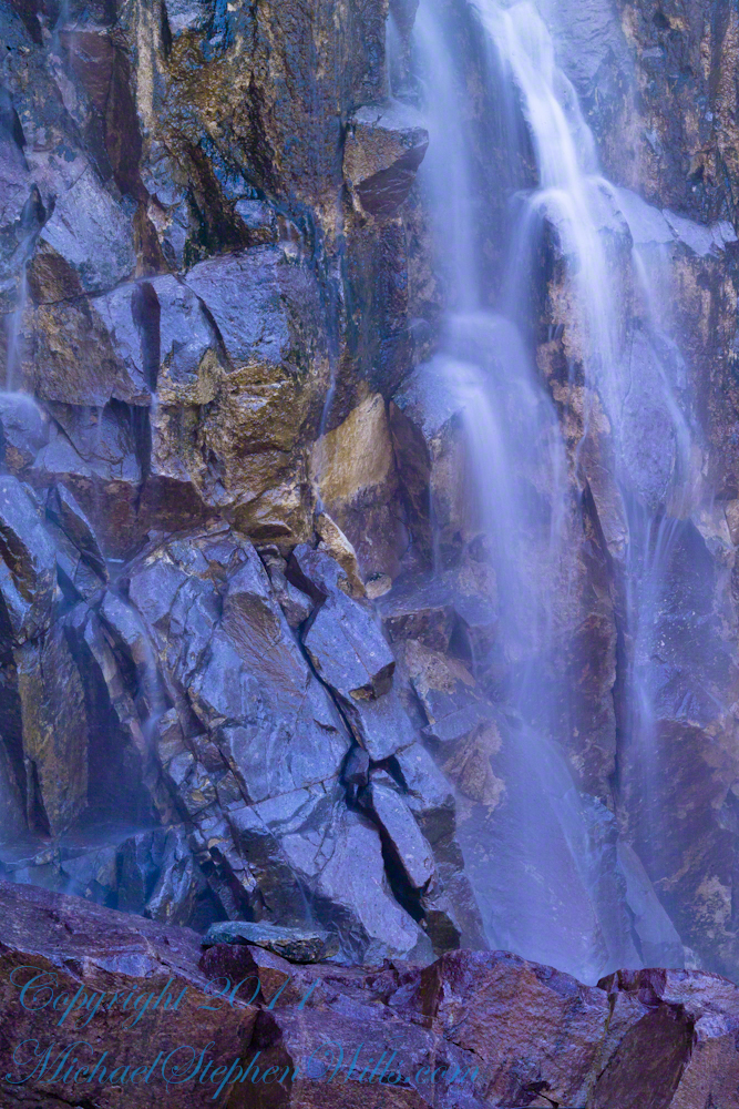
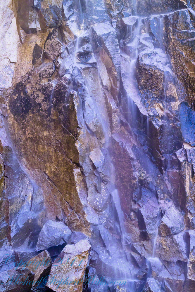
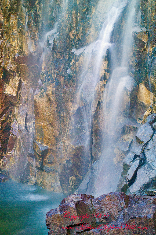
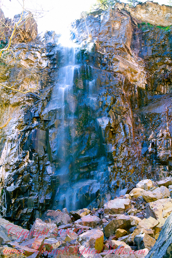
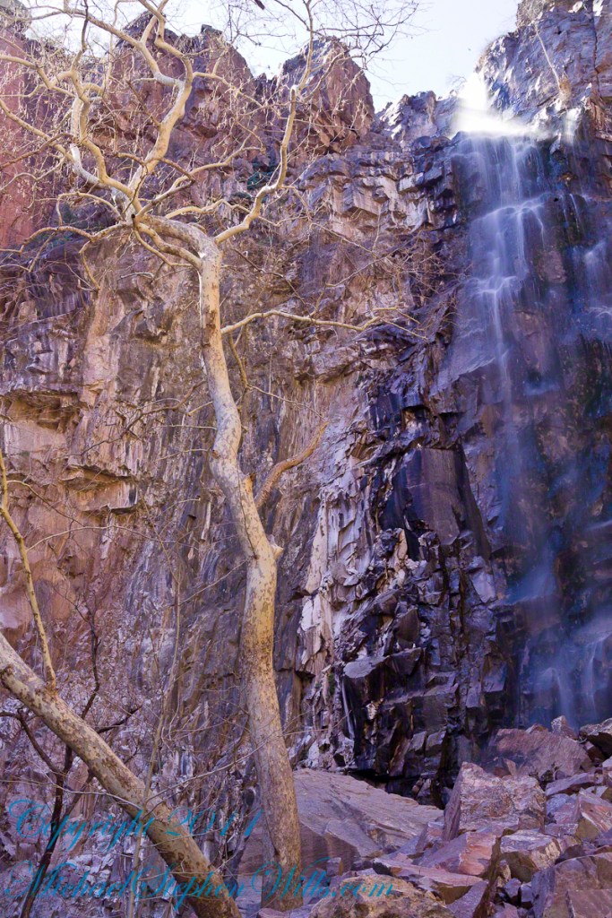
Pincha Unuyuj: Here were made the best hydraulic works of the zone, the crystalline waters that descend, appear channeled by wide lithic channels; also we find from the bank of the river a succession of parallel platforms, a road that leads to an adoratory carved in the rock insitu, ascending some houses and an observation tower. Qoriwayrachina It means gold winnowing. We can find the following: A huge staircase with more than one meter wide, semicircular ramparts, platforms as retaining walls and a vertical slope worked that is on the turbulent waters of the river.

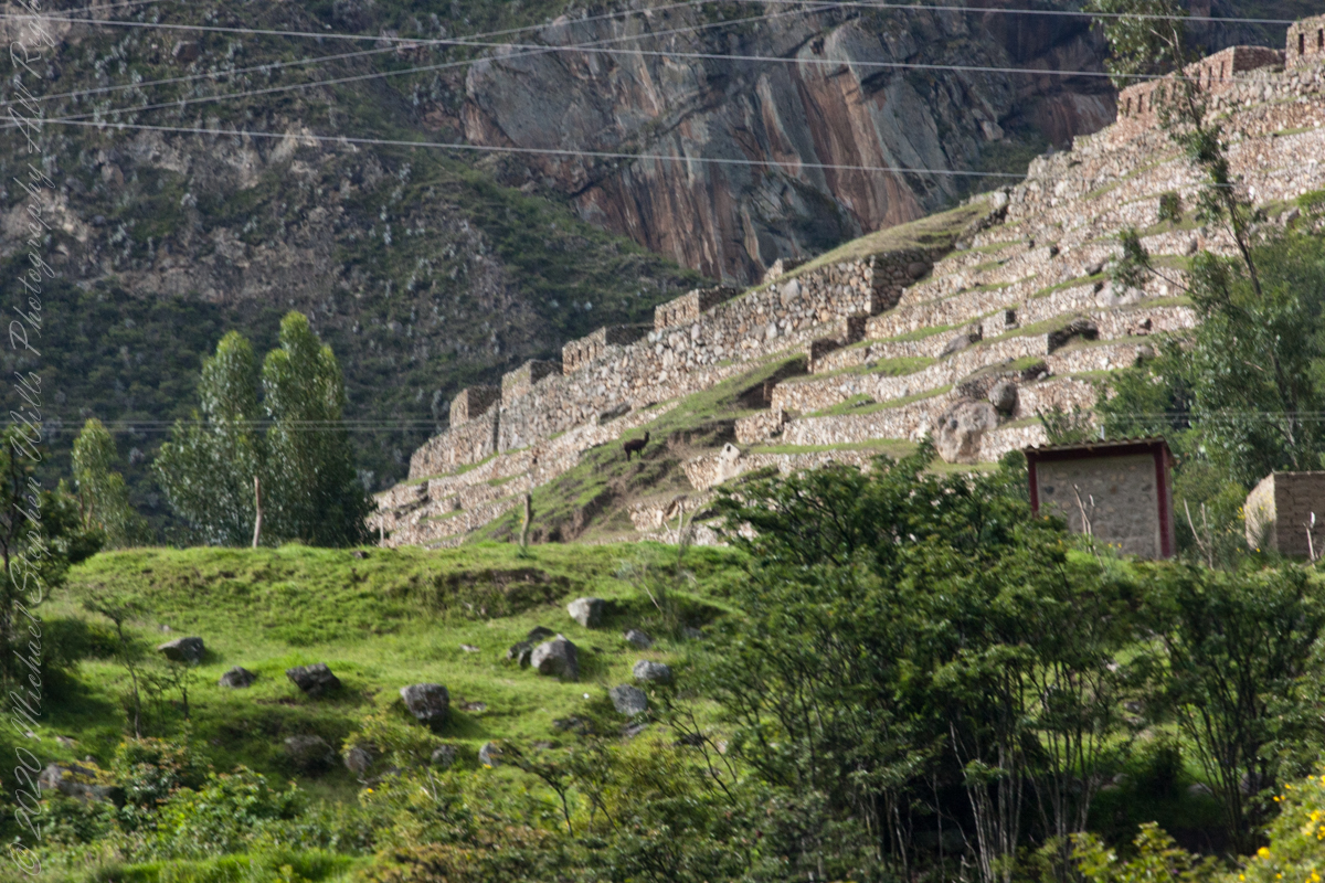
Retamayuj, having a broom, in this group we can find long platforms with semi-cyclopean walls, tombs that are desecrated at the base of the mountain and others intact. In 2008 A team from Peru’s National Institute of Culture (INC) working on the ruins of Torontoy in the Historic Sanctuary of Machu Picchu, discovered the tomb of an Inca with full funerary regalia. The gender and age of the tomb’s owner has not yet been determined but found with the body were a number of decorated ceramics and two pins.

Copyright 2023 Michael Stephen Wills All Rights Reserved

PeruRail to Machu Picchu VIII

Crossing of Kings

Click Me for my Online Gallery

For some Inca Trail routes this bridge is the beginning. Our guide mentioned this crossing was used by Inca kings though this is a modern bridge.

Copyright 2023 Michael Stephen Wills All Rights Reserved

PeruRail to Machu Picchu VII

Urubamba River or Vilcamayo River (possibly from Quechua Willkamayu, for “sacred river”)

Click Me for my Online Gallery

Our guide distracted us from the river by pointing out this glacier nestled among clouds. The following image from GoogleEarth features the peak, named Huayanay, on the upper left. PeruRail track follows the Sacred Valley floor at the foot of the cliff seen lower left and proceeding to the lower right. Another valley starts from Sacred Valley and goes south, carved by the  Cusichaca river. Look closely to see the Patallacta Inca ruins above that same river. These were not visible from the train. A few minutes later we viewed another Inca ruin site.

Google Earth

Huayanay (Quechua for swallow) is a mountain and a massif in the Vilcabamba mountain range in the Andes of Peru, about 5,464 metres (17,927 ft) high.”

The massif is located in the Cusco Region, Anta Province, Huarocondo District and in the Urubamba Province, Ollantaytambo District. Huayanay lies east of the Andean peaks Salcantay and Paljay.

Reference: Wikipedia, “Huayanay.”

Copyright 2023 Michael Stephen Wills All Rights Reserved

PeruRail to Machu Picchu VI

Urubamba River or Vilcamayo River (possibly from Quechua Willkamayu, for “sacred river”)

Click Me for my Online Gallery

Next, PeruRail traversed a narrow valley carved by the Urubamba River. Here is an overview for our course taken from Google Earth.

Google Earth

The Urubamba River or Vilcamayo River (possibly from Quechua Willkamayu, for “sacred river”) is a river in Peru. Upstream it is called Vilcanota River (possibly from Aymara Willkanuta, for “house of the sun”). Within the La Convención Province the naming changes to Urubamba. A partially navigable headwater of the Amazon River, it rise in the Andes to the southeast of Cuzco. It originates on the slopes of Khunurana in the Puno Region, Melgar Province, near the La Raya pass. It flows north-north-west for 724 kilometers before coalescing with the Tambo River to form the Ucayali River.”

The Urubamba is divided into Upper Urubamba and Lower Urubamba, the dividing feature being the Pongo de Mainique, an infamous whitewater canyon.

The Upper Urubamba (Alto Urubamba) valley features a high population and extensive irrigation works. A number of ruins of the Inca Empire lie in the Sacred Valley, including the Incan city of Machu Picchu, Patallaqta, Pikillaqta and Raqch’i. The Salcca-Pucara hydroelectric project is associated with the river as well.

The Lower Urubamba (Bajo Urubamba) is relatively undeveloped and features a significant indigenous population consisting of the Campa tribes, principally the Machiguenga (Matsigenka) and Asháninka. The economy is based on forestry and the nearby Camisea Gas Project. The main settlement in the region is the town of Sepahua.

The lower Urubamba River was mapped for the first time in 1934 by Edward Kellog Strong III. He and two friends from Palo Alto, California, Art Post and Gain Allan John, navigated the river with its ferocious rapids by canoe and balsa rafts provided by the indigenous people. The mapping was done at the request of the Peruvian military when they heard of the expedition planned by the three 18-year-olds.”

John Walter Gregory, a British geologist, drowned in the river on June 2, 1932 while on a geological expedition to the Andes

It was turned over to the military when the boys arrived in Iquitos. It was the only map of the river until it was mapped by satellite many years later. The names and places on the latest map came from the original map drawn by Edward Strong.

Reference: Wikipedia, “Urubamba River.”

Copyright 2023 Michael Stephen Wills All Rights Reserved

Oak Creek Mandala

early one still morning

This quiet nook is hidden along the Oak Creek Canyon trail, though easy enough to find.

I visited there just at dawn when the air was still and the usually busy site deserted.

Oak Creek Canyon is named for the native, evergreen oak species unique to desert environments.  The leaves conserve moisture: small, thick.  I remember camping at the Chiricahua National Monument on November.  All night the acorns fell onto the metal picnic tables, a loud metallic thunk.  

The post header is a primrose flower growing on the bank of Oak Creek.

Recognize the rock from “Oak Creek Mandala”?  This is farther up the Oak Creek Canyon trail, “photograph by Pam Wills.”  I am in my warm weather photography kit of the time having passed the camera to Pam for the shot.

Click this link for my Fine Art Photography gallery. You can find Oak Creek Mandala in the Arizona gallery.  The gallery description gives more information about the site.

Click this link for another Arizona post, “Cochise Dawn.”

Cochise Spring

ancestral Apache land

Interstate 10 between Benson and Wilcox ascends through a field of enormous, eroded granite boulders. Off to the west are the Dragoon Mountains, otherwise known as “Cochise Stronghold.”

Informative sign at campsite

Starting from the campsite is the “Sky Islands Traverse” hiking trail, leading up into the mountains. I wandered from the trail to follow a dry streambed to this residual pool of water, the time being early spring, and this is what remained from the winter rains.

Click Me for my Online Galleries

A single butterfly of the genus Anthocharis generally called “Orangetip” for the colorful upper wing tips. These exist throughout the world, here in Arizona they migrate across the desert, obtaining refuge and nourishment from “Sky Islands” such as the Dragoon Mountains

Copyright 2022 Michael Stephen Wills All Rights Reserved

Abstracts: desert light and water

A Series of Nature Abstracts, macros of Reavis Creek below the falls

These four shots are of afternoon desert light playing on limpid water flowing over colorful rocks.

All are macro shots of the falls taken with a Canon 100mm f/2.8L lens.

From my solo expedition to this location in the remote eastern Superstition Wilderness of Arizona.

CLICK ME to learn more about my work and to purchase prints.

I chose portions of Reavis Creek stream bed carefully

The time of day was essential. This was late afternoon and before the sun disappeared behind the canyon walls.

Not all sections of the stream bed were suitable. I chose elements of strong compositions.

Variation between the shots is essential for holding the viewers attention.

Click Me to visit my previous post, “Canyoneering to Reavis Falls” for more of this story.

Copyright 2023 Michael Stephen Wills All Rights Reserved

Transcendent Beauty

Water and Shadows


The canyon below 110 foot Reavis Falls is a wild place of transcendent beauty.

With the afternoon in front of me, the trip back to camp was a slow pleasure. On the way in, I noted several stopping points to capture photographs. Here a natural rock sluice offers a foot tall waterfall, mirroring Reavis Falls, bracketed by white igneous stone.

This same stone offers a screen, the bright spring sun throwing the sparse leaves into sharp relief.

Click Me to visit my previous post, “Canyoneering to Reavis Falls” for more of this story.

Copyright 2023 Michael Stephen Wills All Rights Reserved

Nature Abstracts from Reavis Falls

Basalt and Water

A Series of Nature Abstracts, macros of Reavis Falls

These are six shots of Reavis Falls from my solo expedition to this location in the remote eastern Superstition Wilderness of Arizona.

All are macro shots of the falls taken with a Canon 100mm f/2.8L lens.

“Reavis Falls Abstract V”

I took these while perched on a pile of talus beneath the falls.

Click Me To learn more about my work and to purchase prints

Reavis Falls Abstract XIV

Reavis Falls are 114 feet high in a canyon hidden in the folds of mountain ridges in the remote eastern Superstition Wilderness of Arizona.

Reavis Falls Abstract VI

Reavis Creek falls from a sheer basalt cliff, remnants of a volcanic eruption, cool a million years ago, a little colder today by this running water.

Reavis Falls Abstract VIII

Reavis Falls Abstract XI

Reavis Falls Abstract XV

Click Me to visit my previous post, “Canyoneering to Reavis Falls” for more of this story.

Copyright 2023 Michael Stephen Wills All Rights Reserved

Canyoneering to Reavis Falls

No signposts in the wilderness

Reaching Reavis Falls, once you find the canyon mouth, is three-fourths of a mile of boulder hopping and bushwacking over and around landslides, deep pools and fallen trees.  Odds are you will be the only person in the canyon for weeks, if not months.  Expect to be surprised. In this chapter you will (finally) visit the falls themselves.

A Camp in the Canyon

Click me for the chapter about the environment around the mouth of Reavis Canyon below the falls.

The Last Mile

Here is an overview of the last third mile of Reavis Canyon.  You can see the wall of the falls nestled in the folds of ridges towards the top, just off center.

On the lower right is a large landslide and, below there, it is complete chaos.

The vegetation grows shoulder to shoulder with interleaved branches.  You will not get through there.  The solution is to find a way around, usually over and around house-sized boulders.

The image was captured from Google Earth


After almost two hours of picking my way, there was a flicker of light.  The fall waters were sparkling in the sunlight high above the cottonwood trees, in full Mach bloom, and the still leafless Arizona Sycamores.

This was my view of Reavis Falls from the canyon on a March day before the Arizona Sycamores have leaved. The falls are the tiny patch of white to the left of midline where the earth meets the sky. Jumbles of infallen boulders and thick growth of sycamores, oaks and fully leaved cottonwoods cloak the falls.

Another 30 minutes of canyoneering brought me to the foot of the falls.

At the Foot of Reavis Falls

Looking up at Reavis Falls from a 20 foot tall mound of talus.

These are boulders  washed down at flood time.

The rock wall is thick with microorganisms, fungi and mosses.

After clambering around the talus pile I found this angle….

An Arizona Sycamore, before the spring leafing, at the Foot of Reavis Falls

Talus at the Foot of Reavis Falls

The Reavis Falls talus is large boulders carried down Reavis Creek and washed over the falls at flood time as well as blocks fractured from the cliff face.  You can see the base of the Sycamore from the previous photograph.

The falls are formed where Reavis Creek flows over a solid mass of rock.  The talus is composed mostly of this red rock.  From the edge of this cliff to the base, where the falls hit the canyon floor, is all of 140 feet.  This is a far as you can proceed into the canyon without some serious climbing skills.

It is possible to climb around the canyon by climbing up the ridge from which I captured the Cedar Basin Hoodoos.  See my posts below for this location (you need to work it our for yourself).

This is NOT the last post of the series.  From here I will focus on the beauty of Reavis Falls and the canyon that holds them.

It was a four-day expedition so there are a few chapters covering the approach to the Falls:

Lime Mountain Morning

Two Bar Mountain View

Evening on Two Bar Mountain

Among the desert wildflowers

Superstition Wilderness Dawn

Dry Juniper Descent

Hoodoos on the Descent to Reavis Falls

Cedar Basin Hoodoos

Reavis Canyon Camp

Reavis Canyon Rivulets and Rocks

Copyright 2023 Michael Stephen Wills All Rights Reserved