Ice Crystals

A tripod and Neutral Density filter
Winter 2020 I posted “Winter People Watching” featuring the Sony F828 and candid street photography.
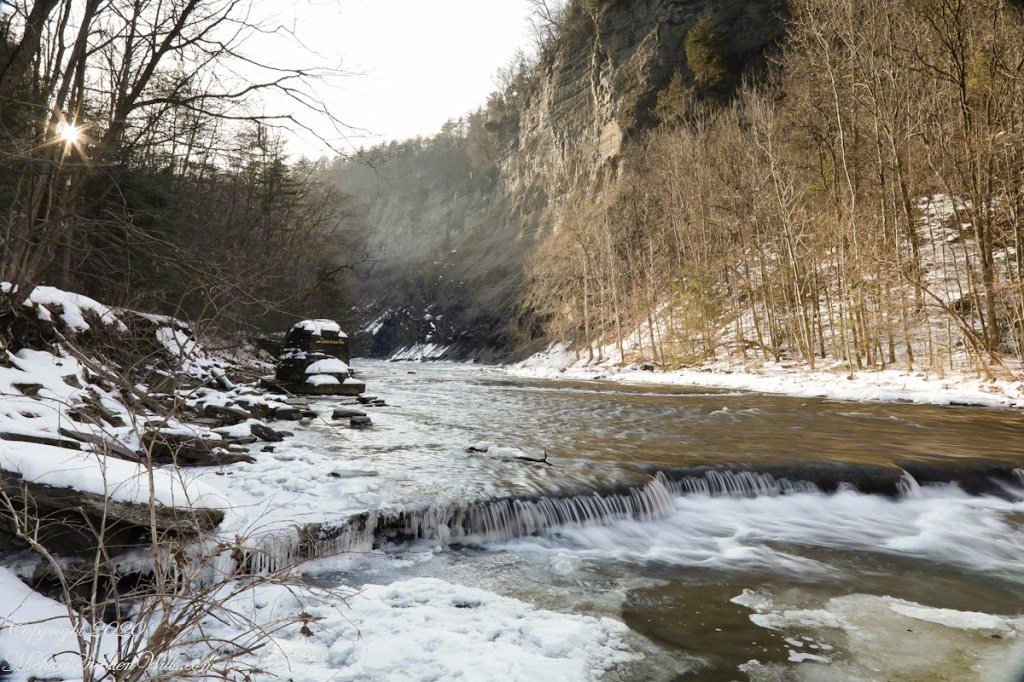
What I love about this place, a unique feature, is the size and different vantage points making it possible to view the same place from different angles. November 2019, readers were shown “The Bend,” a place with Taughannock gorge makes a 90 degree turn, changing from a southeastern to an eastern flow. Here are photographs from spot overlooked by that post.
Here the camera faces away from the sun, the graduated neutral density filter allowing me to capture the cloudless blue sky, a little milky the way it is here February with a hint of spring.

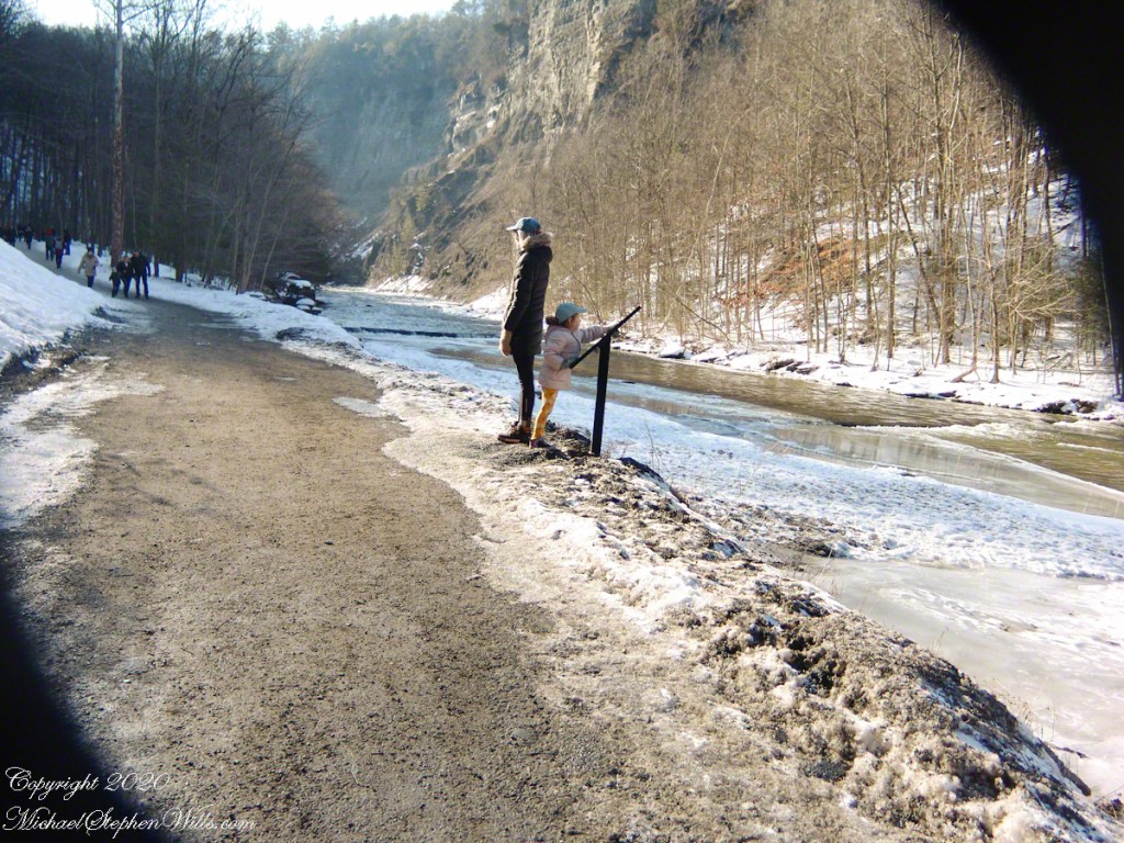
This little one is studying the information placard with rapt attention, learning how the African continent, pushing against North America, across the eaons, formed the right angle fractures mirrored by this dramatic change in Taughannock Gorge. For the Big Bend photographs I was standing behind them, along the stream bed.
Here is a broader slice of that sky.

Can you see the tiny figures of hikers, dwarfed by the frozen cliff?


…and Gorge Cliffs
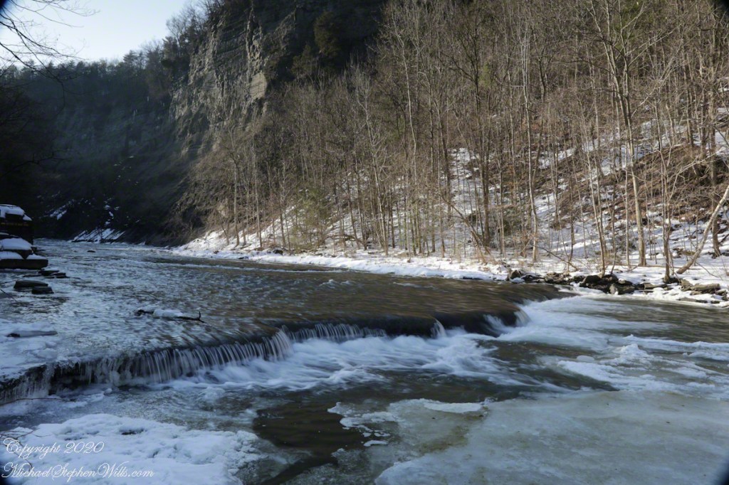
Purling of the water beneath this foot high waterfall was enhanced by reducing ISO to 100, tamping down the aperture to f/22 resulting in an shutter speed of 1/10th second. I set the graduated Neutral Density filter to shade the left side.
On the cliffs ahead is where the observation platform is cut into the rock. It has a great view of the waterfall, in some ways the experience of the falls is enhanced, compared to hiking the 3/4 mile path and standing below.
A marvelous forest grows on talus from the high gorge walls.

A sign on a disused pier warns waders to leave the creek bed. Ahead the gorge walls tower above the creek. Rocks dislodge and crash down unexpectedly, crushing foolish waders. It is appalling to see, in warmer months, people walking below those cliffs gathering the fallen rocks to make delicately balanced cairns.
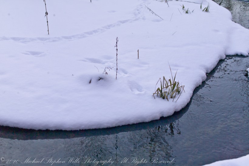
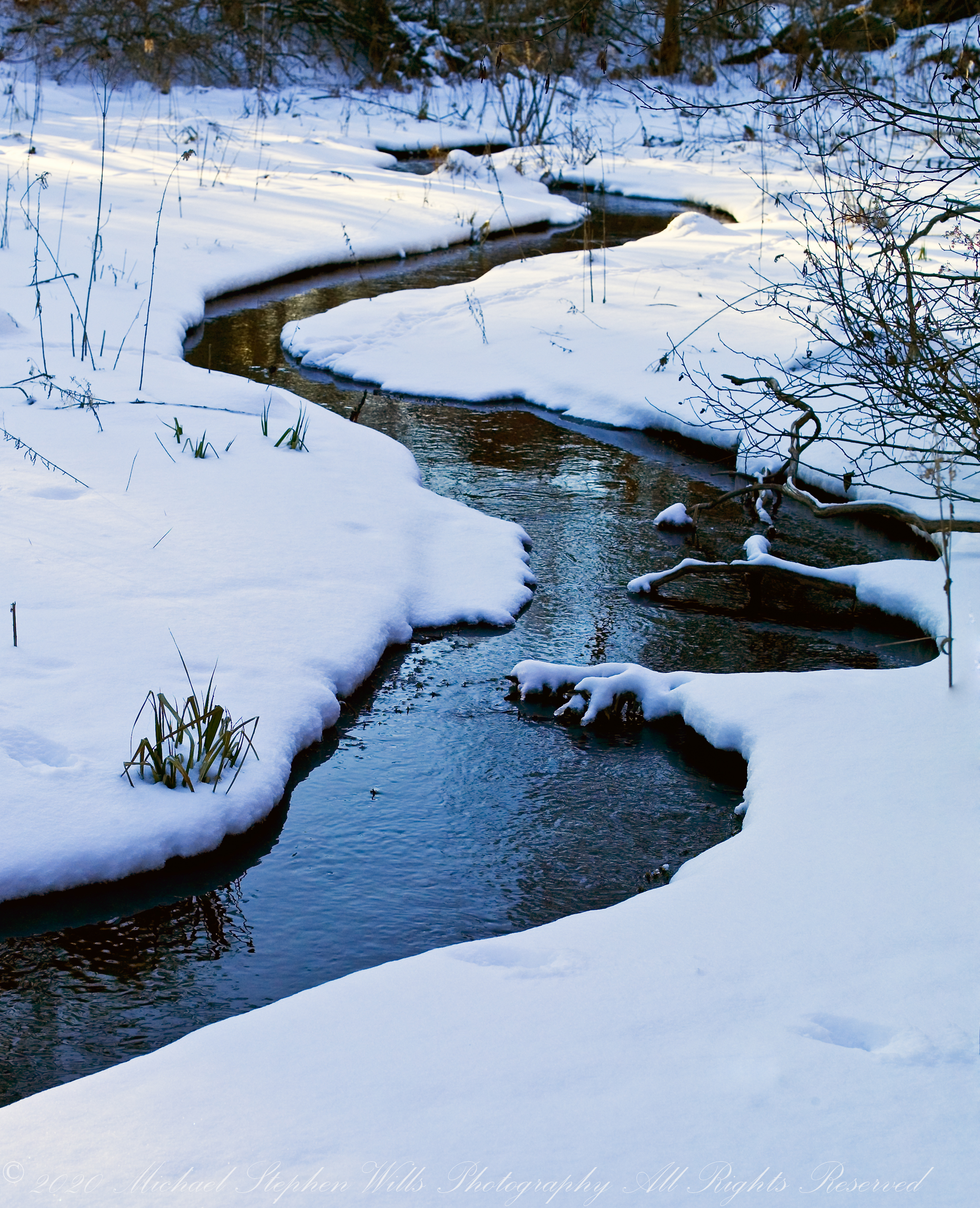
Meadow Idyll
Snow under the gathering light of February, edges rounded by sunlight. Can you identify the animal tracks?

All were from a tripod mounted Kodak DSC pro SLR-C with the Canon lens EF 50mm f/1.4 USM

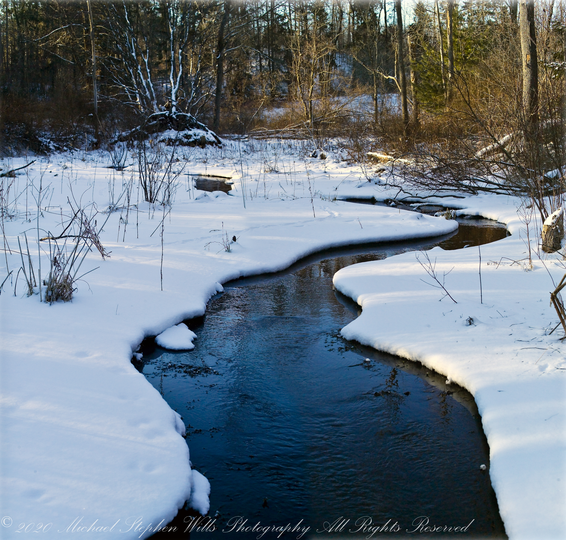
Meadow Idyll
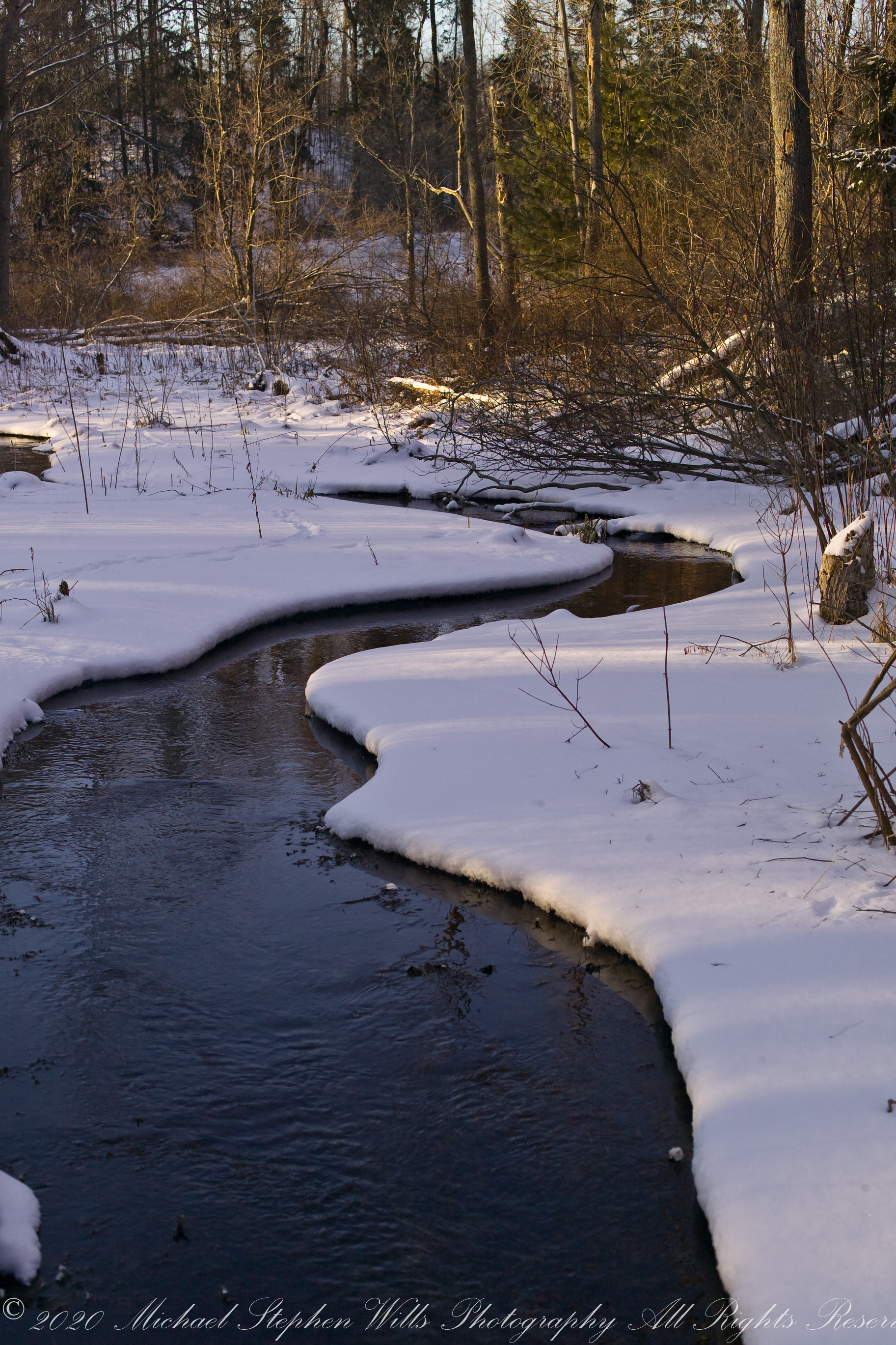
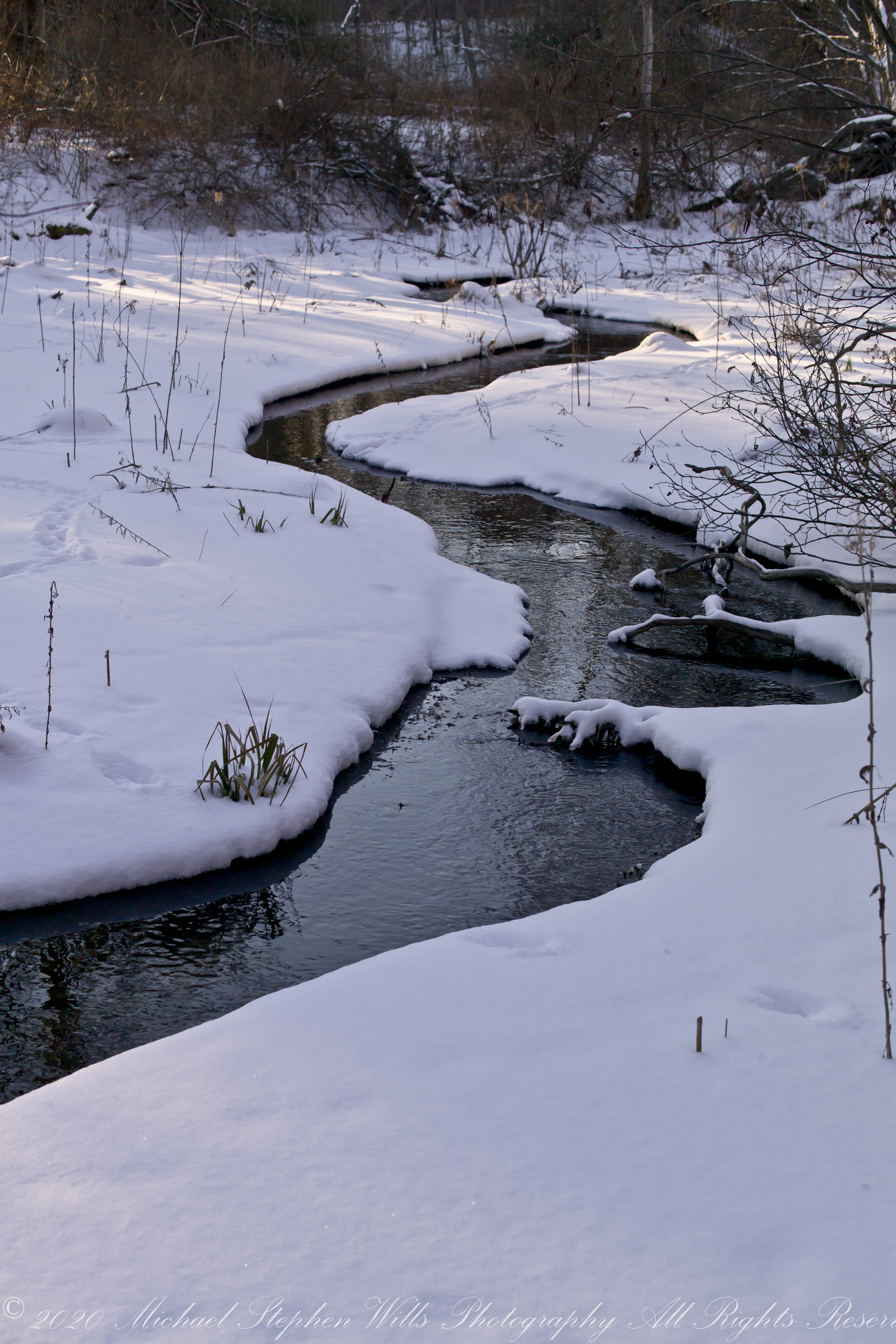
The glacial marls through which this water flows to emerge here clear and pure were under threat from development in the 1980’s and 1990. Thanks to the efforts of the landowner, the uniqueness of this environment was preserved.
The first two photographs are combined and enhanced in photoshop to yield the third, combination, photograph.
All were from a tripod mounted Kodak DSC pro SLR-C with the Canon lens EF 50mm f/1.4 USM

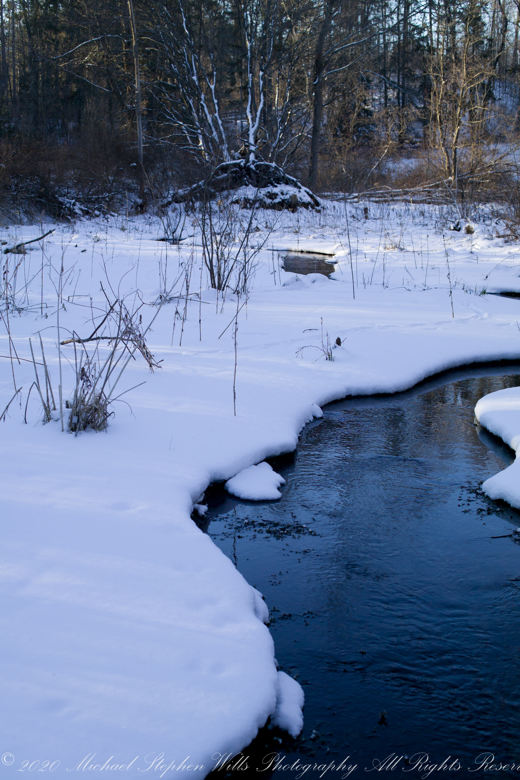
Meadow Idyll
This water emerges from glacial marls, pure and clear, before flowing into a kettle pond. Here we see it on a winter afternoon meandering across a meadow before joining the Fall Creek of the previous postings of this week.
The first two are the same photograph. One has been enhanced in Photoshop. The other was perfected in Lightroom. The third is a different photograph taken about the same time, also peracted in Lightroom.
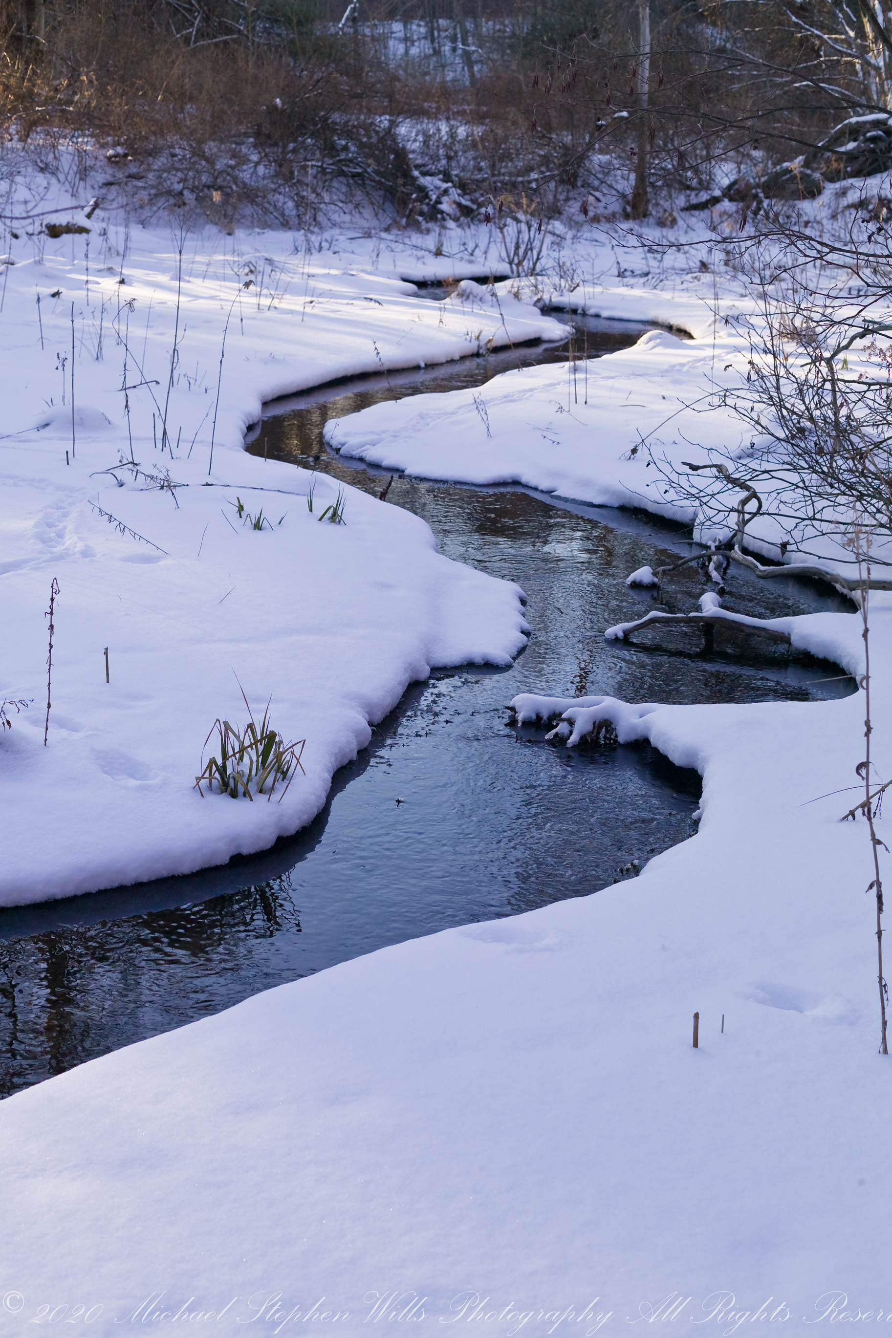
All were from a tripod mounted Kodak DSC pro SLR-C with the Canon lens EF 50mm f/1.4 USM

Keuka, the crooked Finger Lake….
Sunday, Pam and I travelled across the peneplanes, past three Finger Lakes, to reach the Dr. Konstantin Frank winery where we subscribe to the “Wine Club,” a quarterly release of three 750 ml wines along with a newsletter with information and recipes. For 2018/2019 we elected to “pickup” our selections, looking forward to these drives through the country and villages between Ithaca and the winery perched on the west side of Keuka Lake, just below the “branch.”
Preeviously, I posted “Glacier!!” and today there is this photograph of glacial topography 10,000+ years after the melt. Keuka Lake is shaped like a “Y” chromosome, here we are looking northeast across the “foot” of the “Y” from the west lakeside. Above the evergreens, to the left, is the headland separating the “arms” of the “Y”.
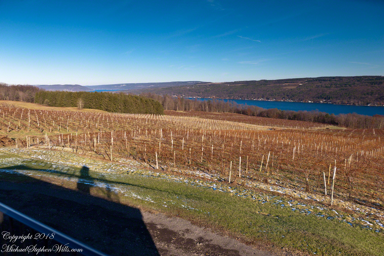
Spread out below our viewpoint are row upon row of grapevines, enjoying the microclimate surrounding the deep lake.
Click this link for my Fine Art Photography gallery.
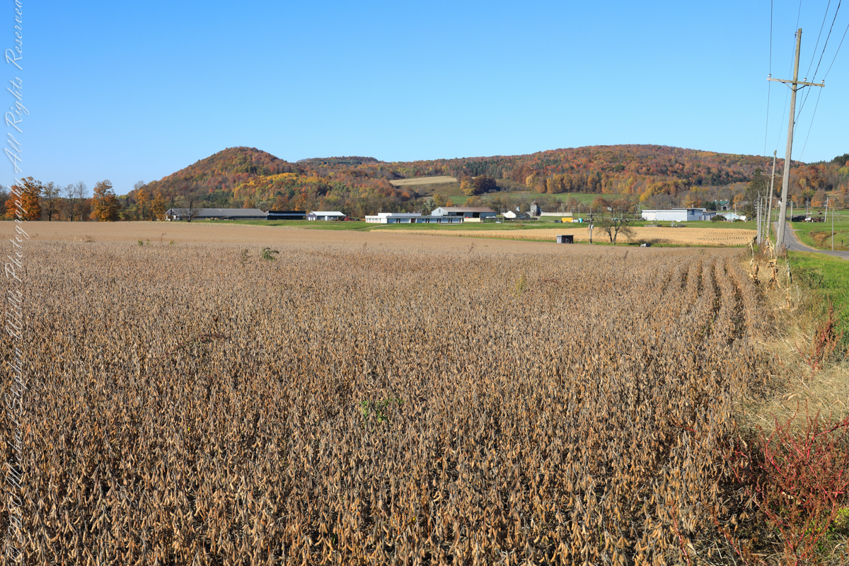
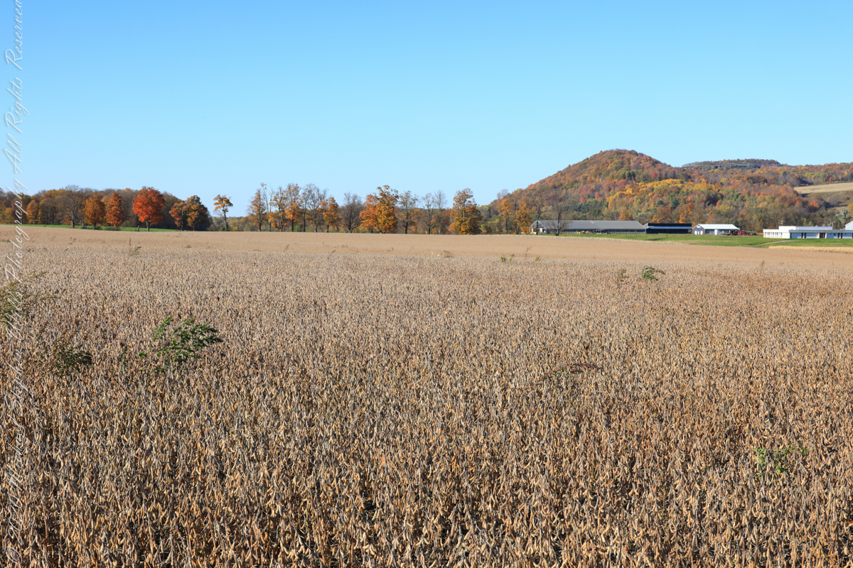
Northernmost, glaciated section of the Allegheny Plateau
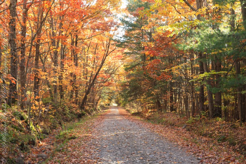
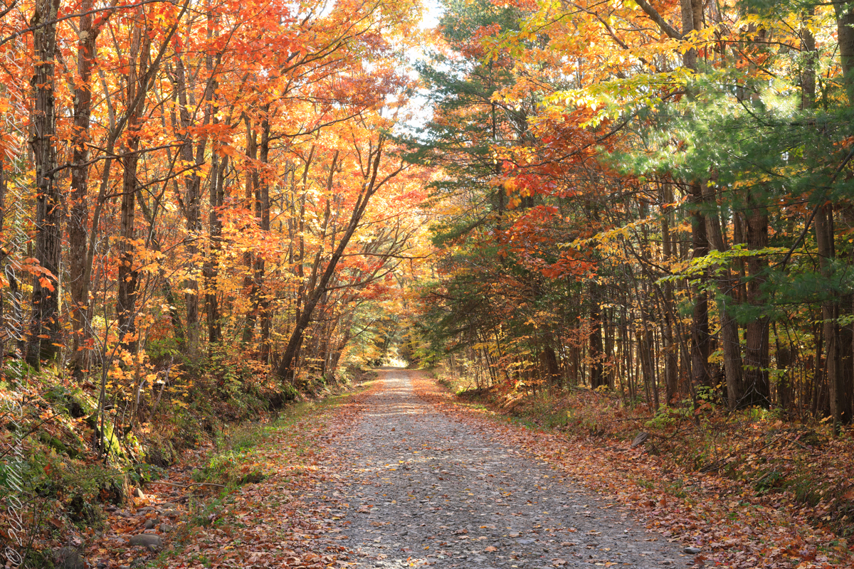
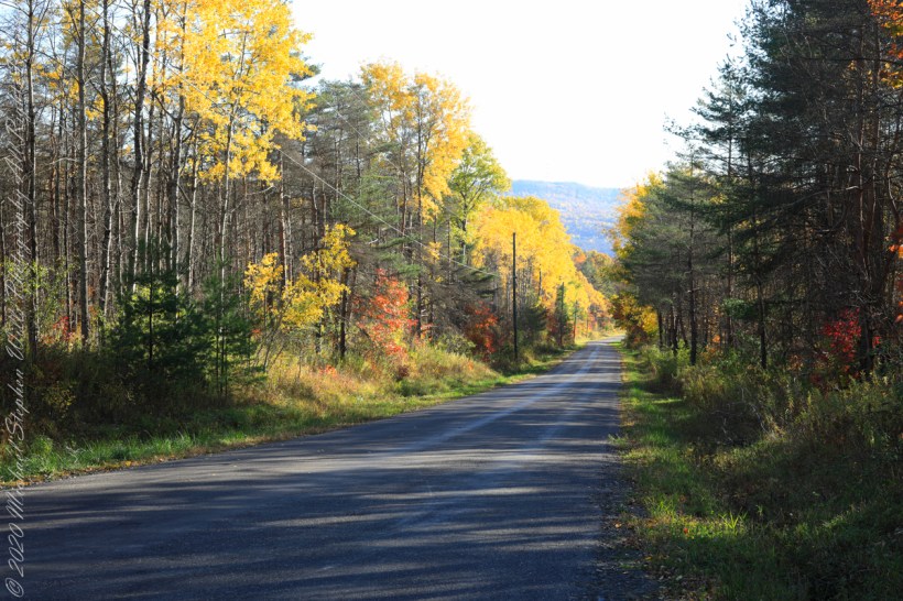
For my last autumn posting this last day of November 2022 this colorful hall of trees is on the long descent of Lacey Road from Cortland to Tioga Counties where it passes close the meeting point of three counties near the Robinson Hollow State Forest, the third being Tompkins County.
We are travelling south on a northernmost, glaciated section of the Allegheny Plateau. In the 19th Century a lawyer named Calvin J. Robinson was a prominent citizen of nearby Richford.
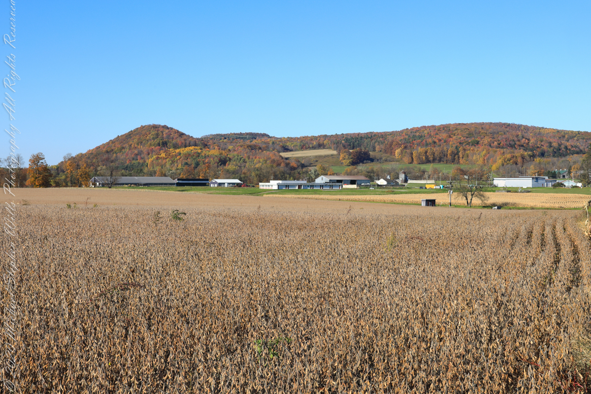
sunlight, dappled shade
South/Southwest view from the long hill into Harford, stopping to admire the effect of sunlight, dappled shade and bright yellow, orange, red against the distant ridge sheltering Robinson Hollow. Near Harford, Cortland County, New York.


Happy Thanksgiving (USA) 2022