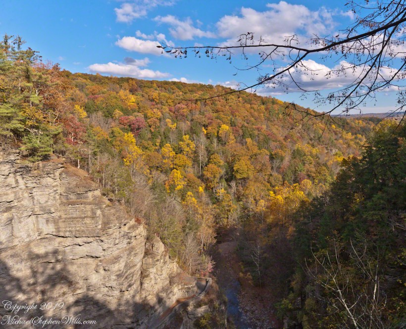
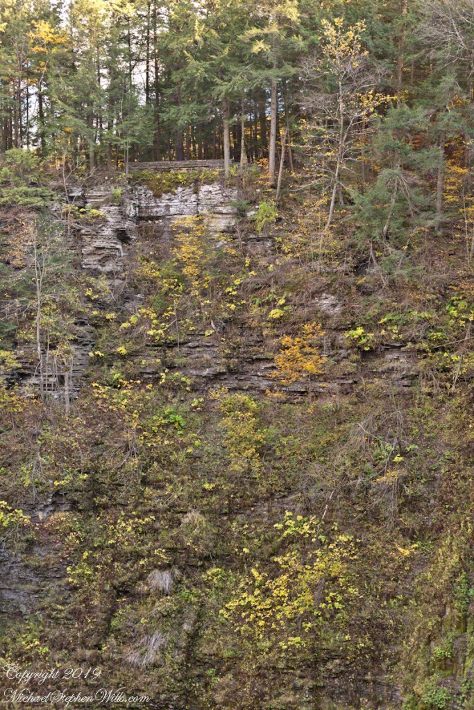
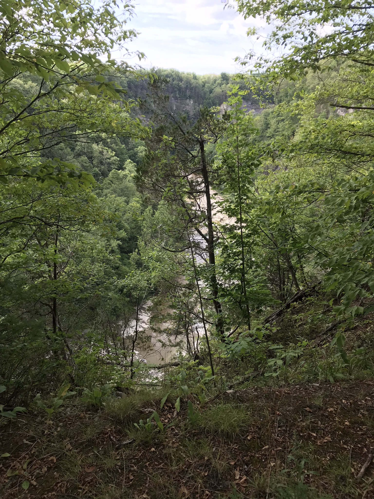
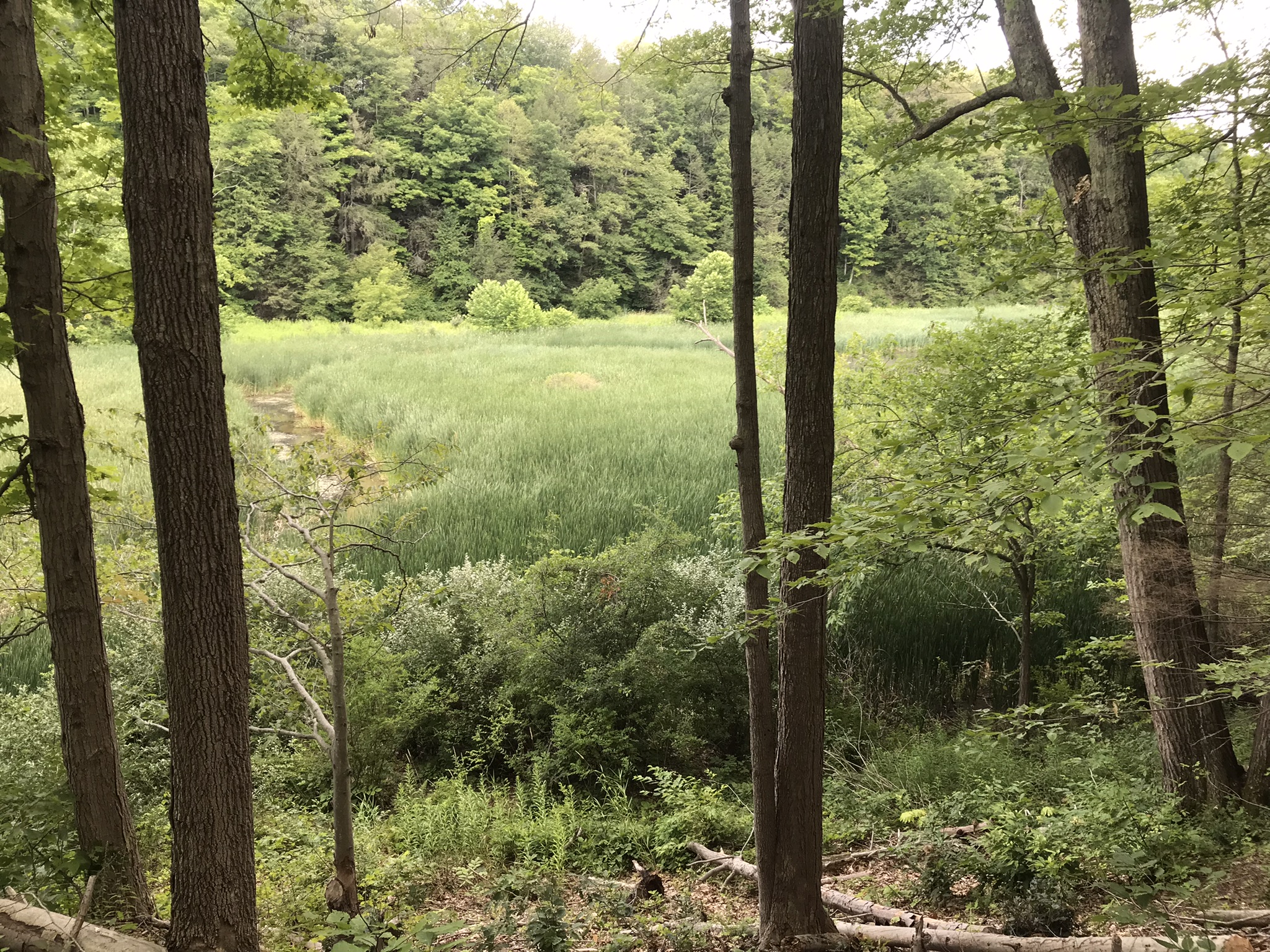
Standing on Enfield Gorge rim above Lucifer Falls on a clear October afternoon, the slopes of the far gorge cloaked in shades of green, yellow and red.
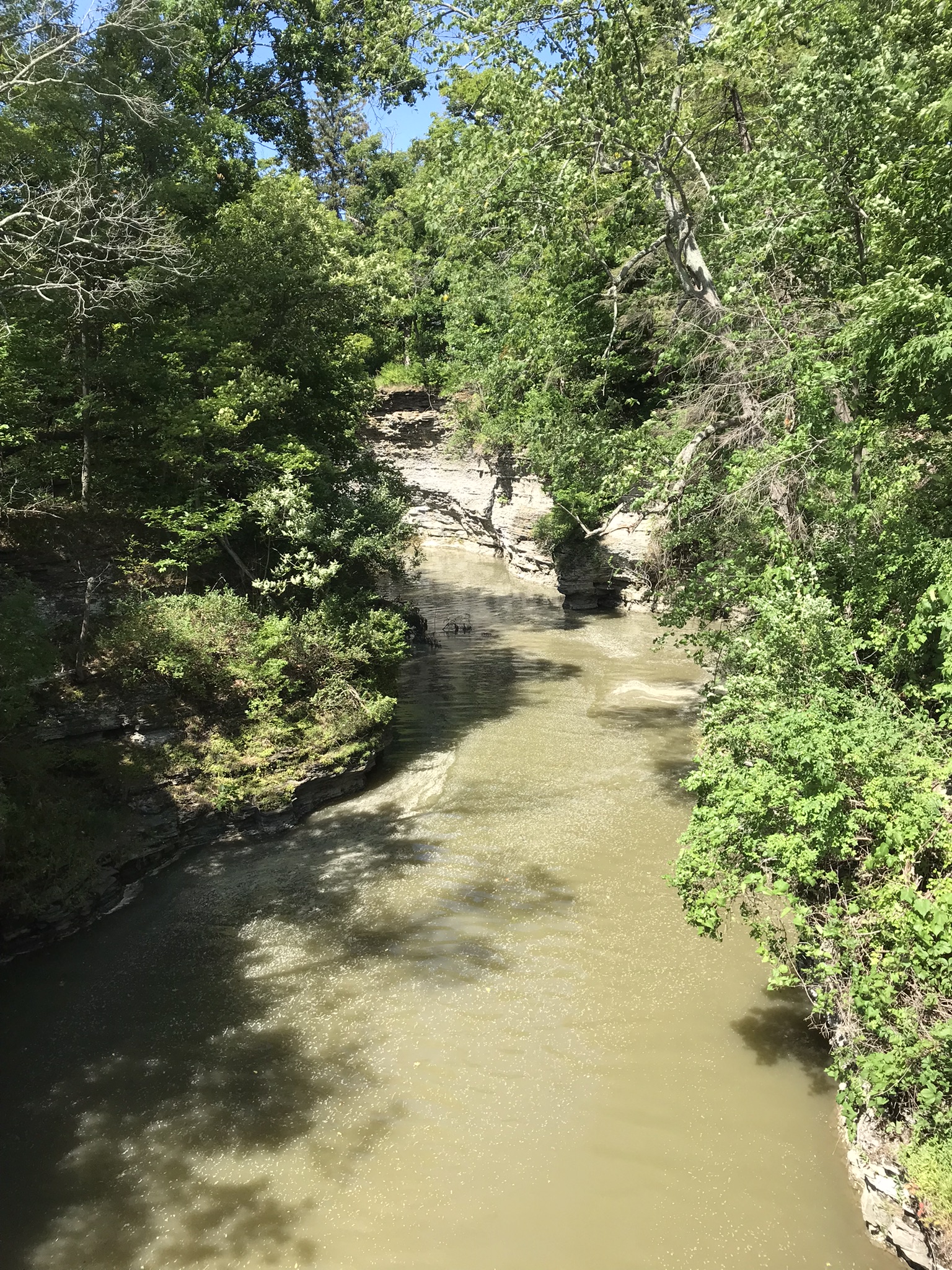
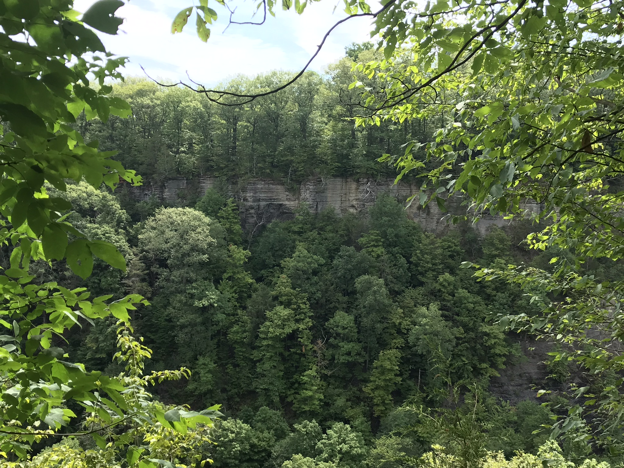
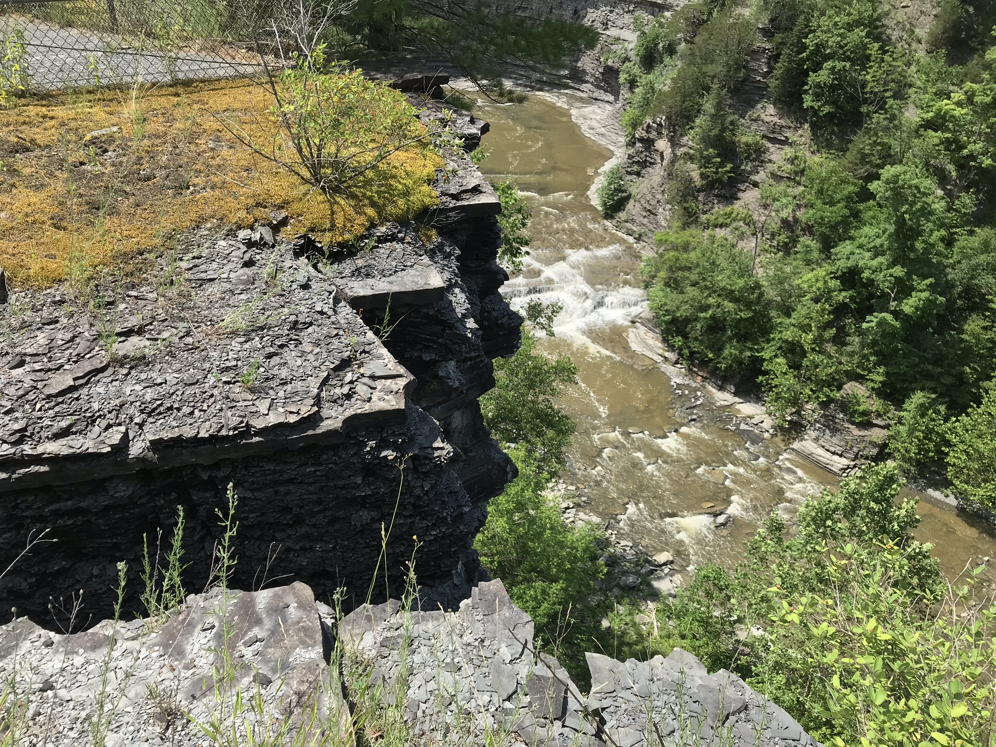
Below, the Gorge Trail runs below a sedimentary rock cliff.
Click photographs for a larger view. To do this from WordPress Reader, you need to first click the title of this post to open a new page.
Luficer Falls Overlook, northeast
Click for a slideshow of this sequence of Lucifer Falls view from the overlook.
Luficer Falls Overlook, northeastLucifer Falls from Rim Trail OverlookLucifer Falls from Rim Trail Overlook
Copyright 2022 All Rights Reserved Michael Stephen Wills
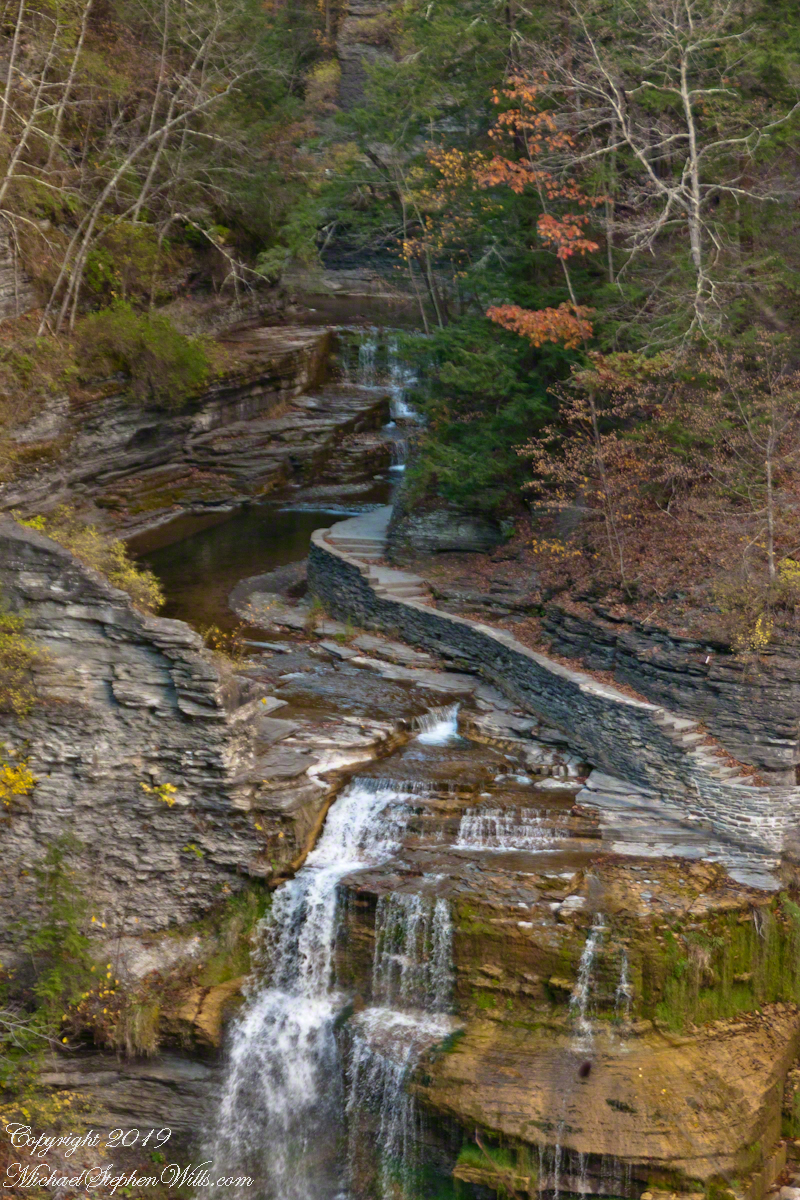
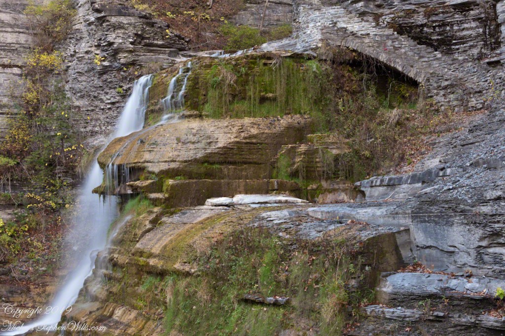
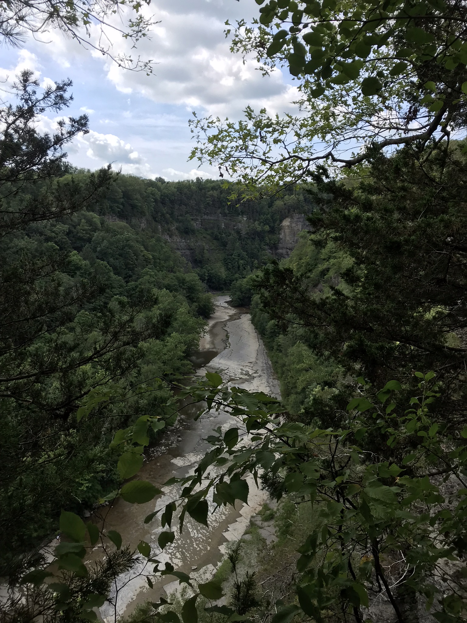
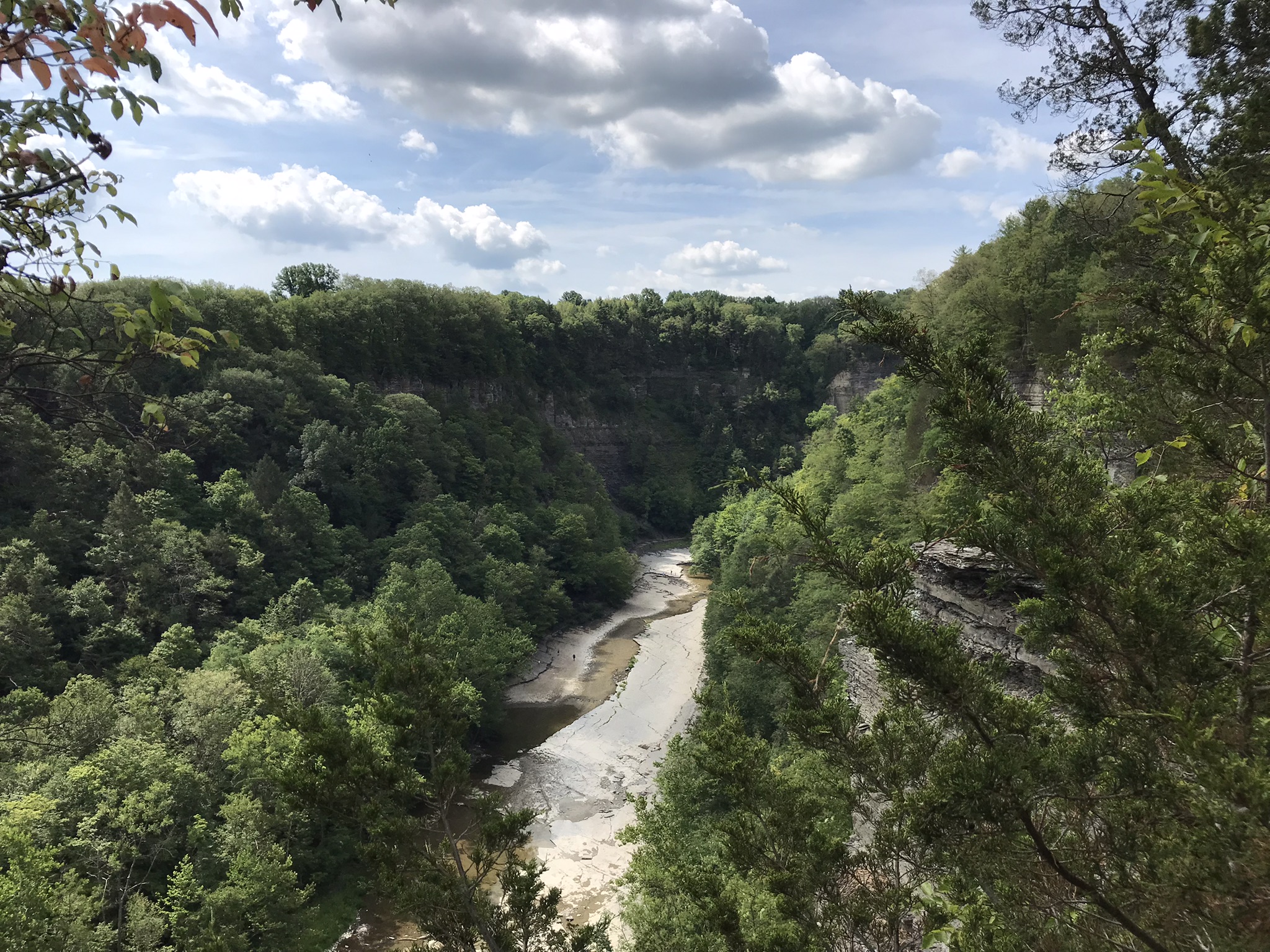
A full sweep of Lucifer Falls on an autumn evening, the sun hidden behind the gorge walls. Here the Gorge Trail emerges from the shelter of the gorge, emerging into a dizzying view.
Click photographs for a larger view
Lucifer Falls from Rim Trail Overlook
Click for a slideshow of this sequence of Lucifer Falls view from the overlook.
Lucifer Falls from Rim Trail OverlookLucifer Falls from Rim Trail Overlook
Copyright 2019 All Rights Reserved Michael Stephen Wills
Standing on the trail alongside Lucifer Falls, crane your neck, up and up to the cliff top. Look closely to see the protective rock wall of the overlook.
Click photograph for a slideshow. To do this from WordPress Reader, you need to first click the title of this post to open the page on my site.
Lucifer Falls Overlook from the Gorge Trail
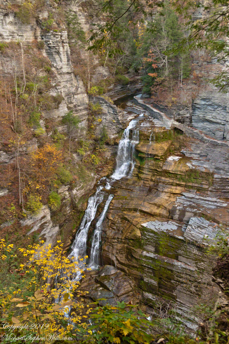
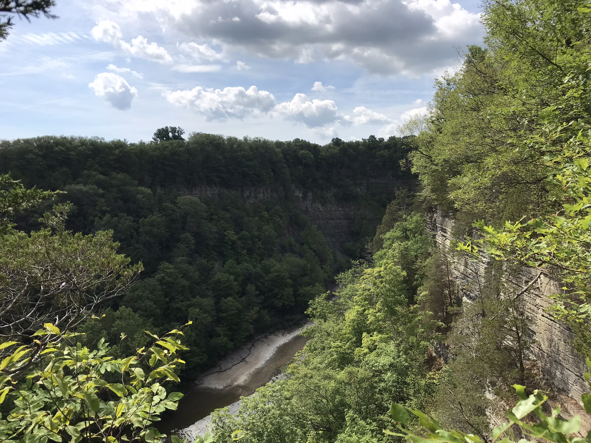
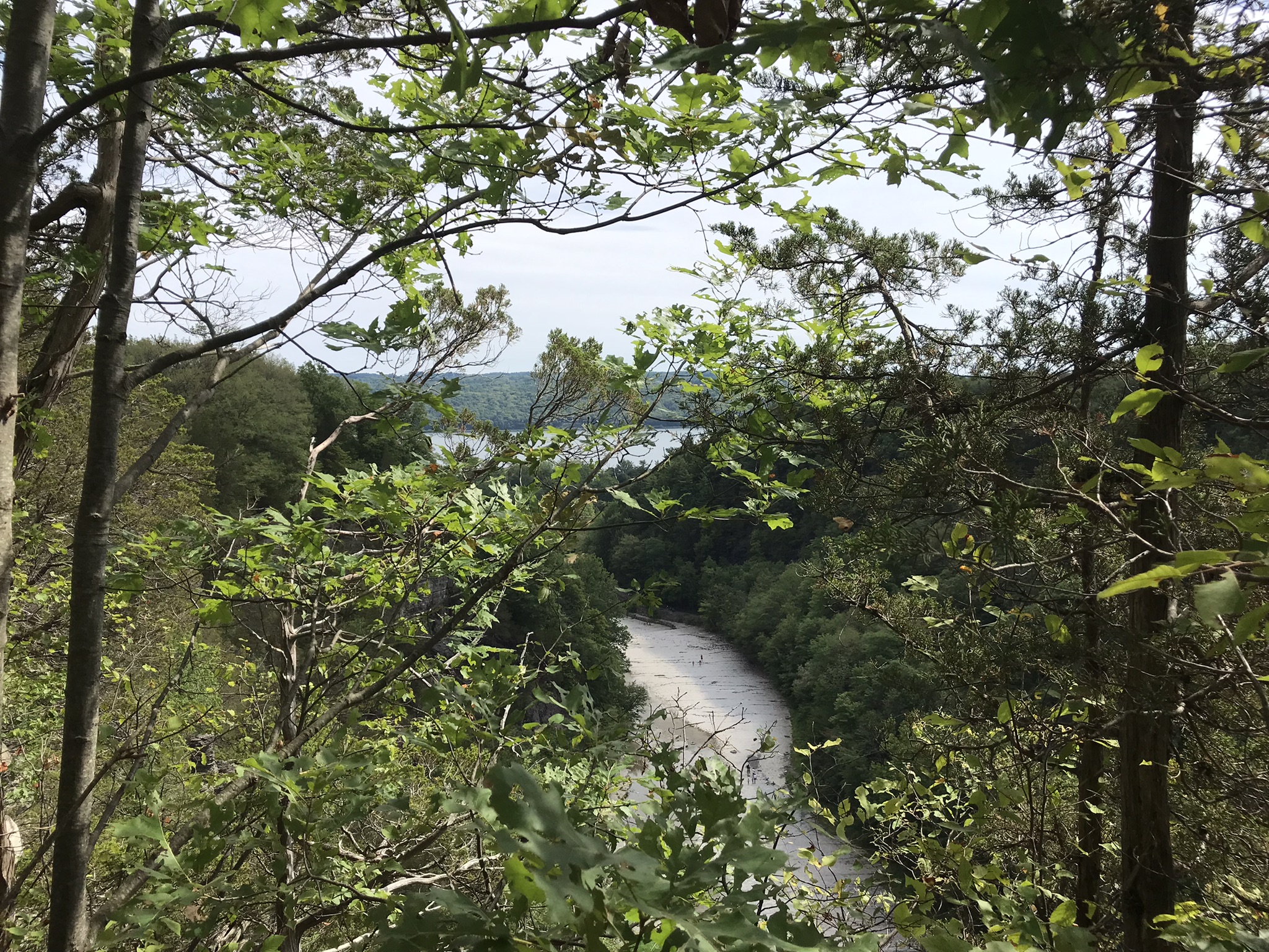
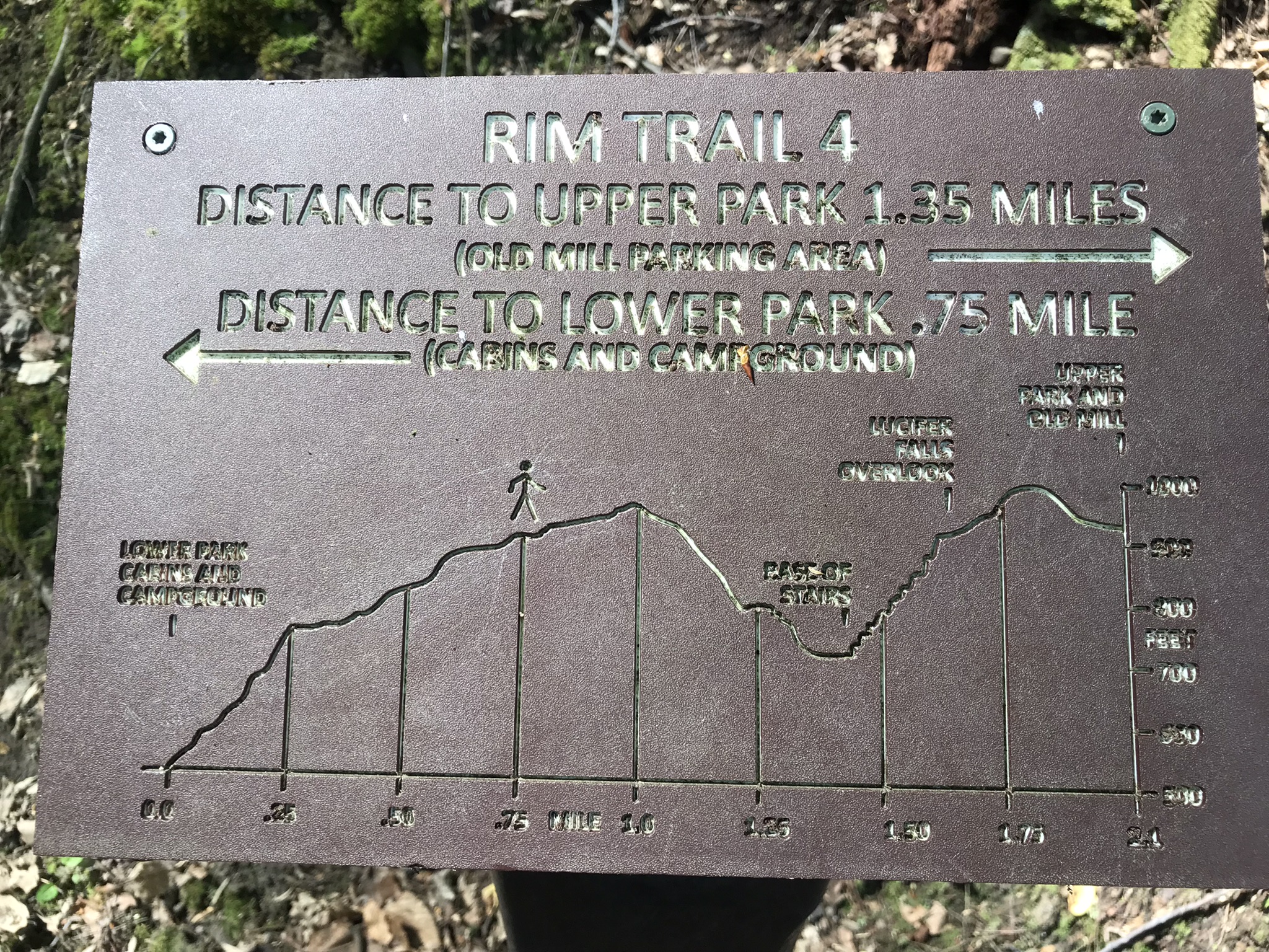
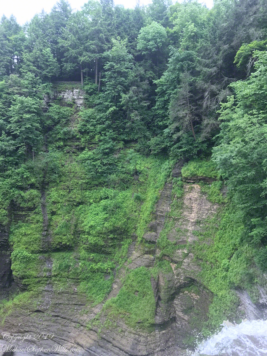
The Rim Trail includes this overlook of Lucifer Falls with, upstream, the Devil’s Kitchen waterfall, the path of the Gorge Trail in between.
Lucifer Falls from Rim Trail Overlook
The full sweep of Lucifer Falls on an autumn evening, the sun hidden behind the gorge walls. Here the Gorge Trail emerges from the shelter of the gorge, emerging into a dizzying view.
Lucifer Falls from Rim Trail Overlook
Brink of Lucifer Falls
Lucifer Falls Overlook from the Gorge Trail
Lucifer Falls from Rim Trail Overlook
Lucifer Falls from Rim Trail Overlook
Copyright 2022 All Rights Reserved Michael Stephen Wills
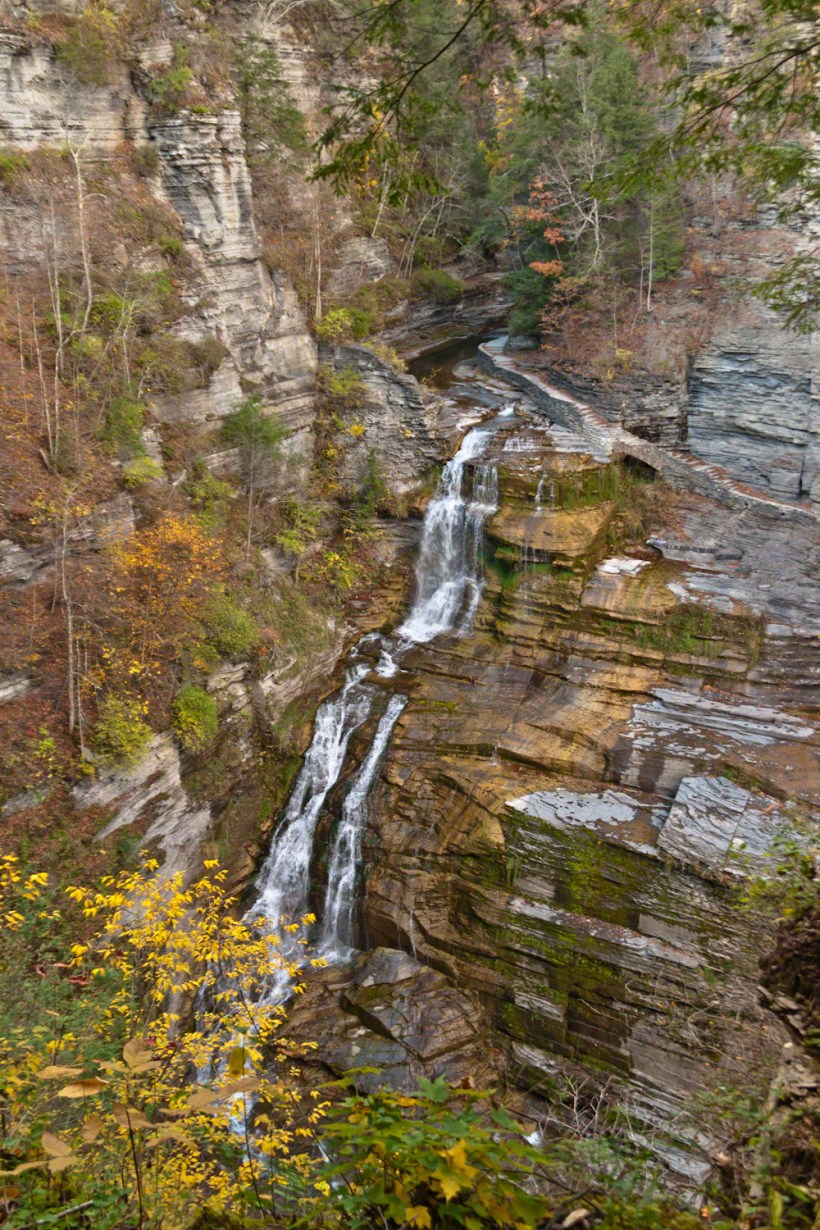
This trail, built into the slate/sandstone gorge wall, follows the descent of Lucifer Falls. Here we view the brink and the path alongside. Follow this trail to Devil’s Kitchen, up and around the corner.
Click photograph for a larger view
Brink of Lucifer Falls
Copyright 2022 All Rights Reserved Michael Stephen Wills
“Out in the meadow, I picked a wild sunflower, and as I looked into its golden heart, such a wave of homesickness came over me that I almost wept. I wanted Mother, with her gentle voice and quiet firmness; I longed to hear Father’s jolly songs and to see his twinkling blue eyes; I was lonesome for the sister with whom I used to play in the meadow picking daisies and wild sunflowers.”
from “Laura Ingalls Wilder, Farm Journalist, Writings from the Ozarks” edited by Stephen W. Hines”
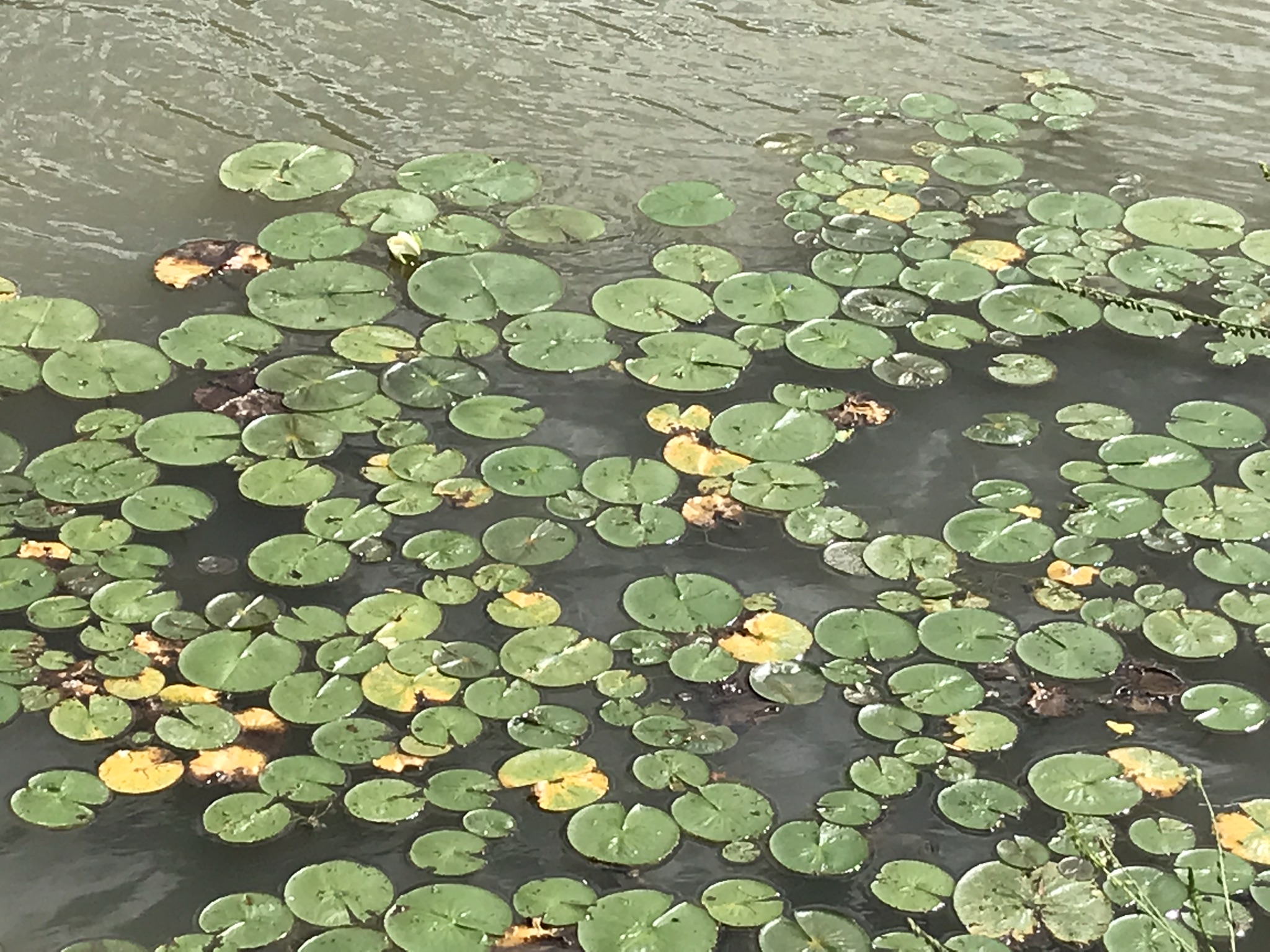
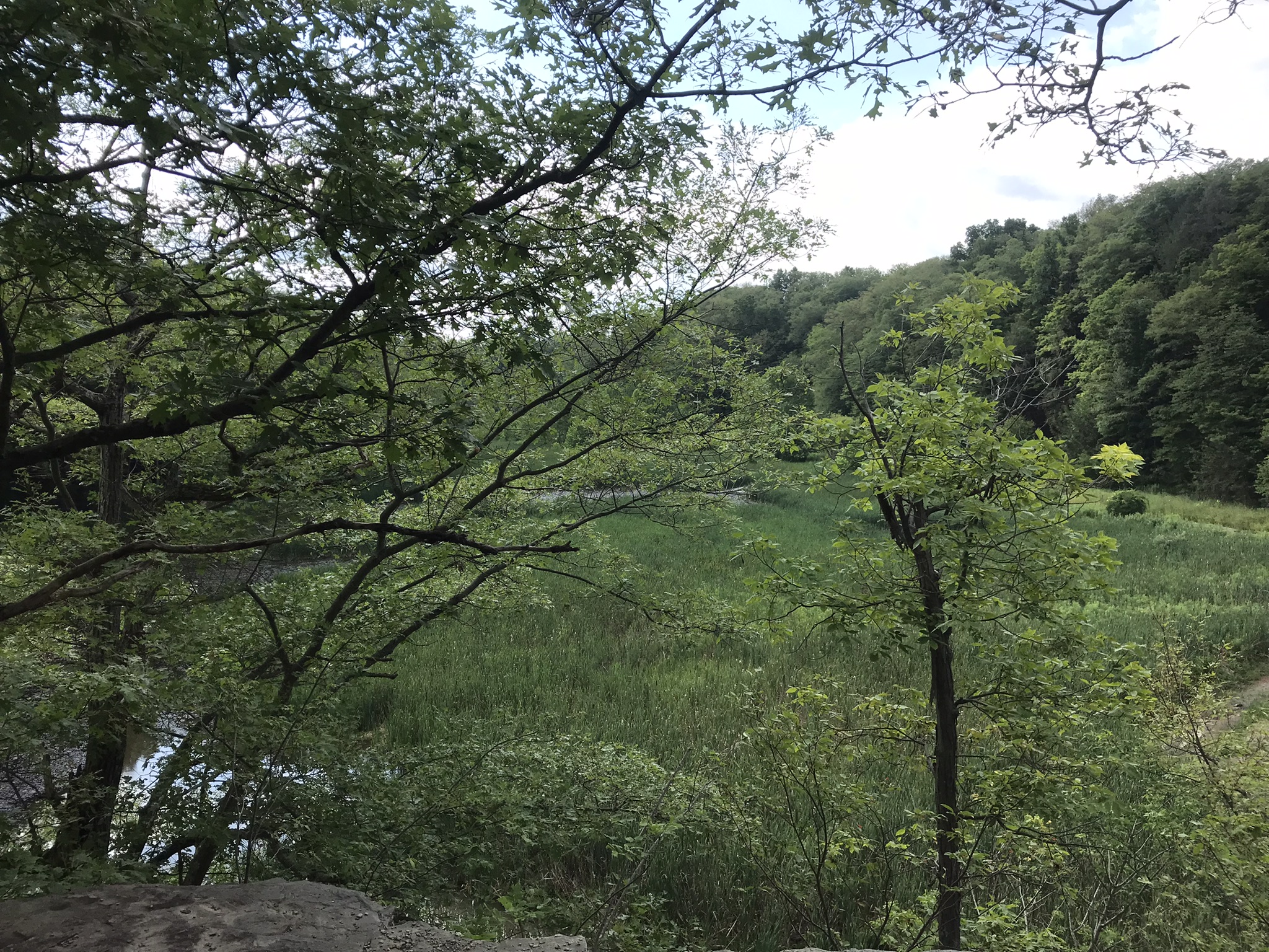
Trail sign at starting pointBeebee LakeLily Pads flowering on the north side of Beebee LakeFall Creek Gorge flooded by Beebee Lake dam
Taughannock Falls
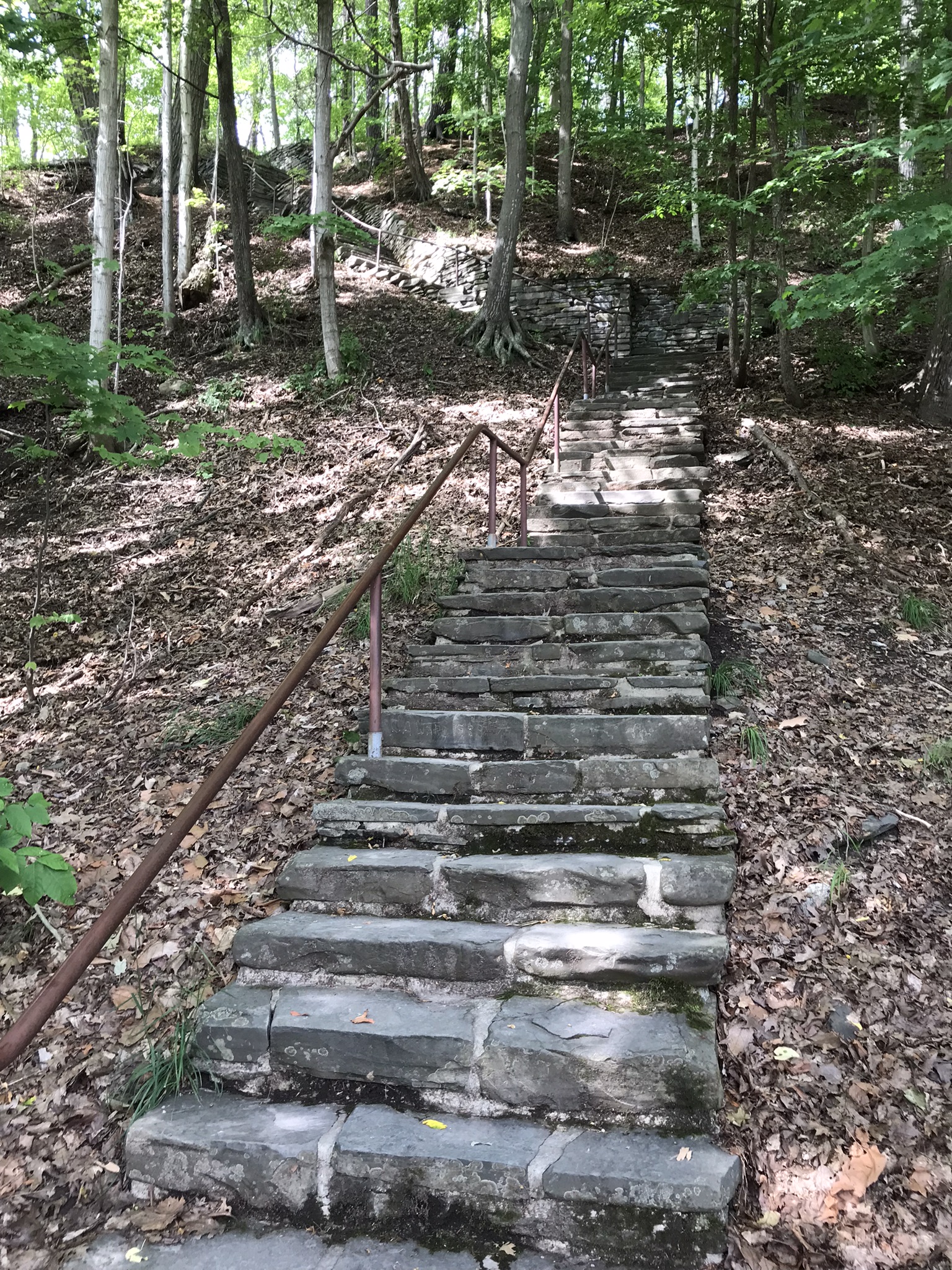
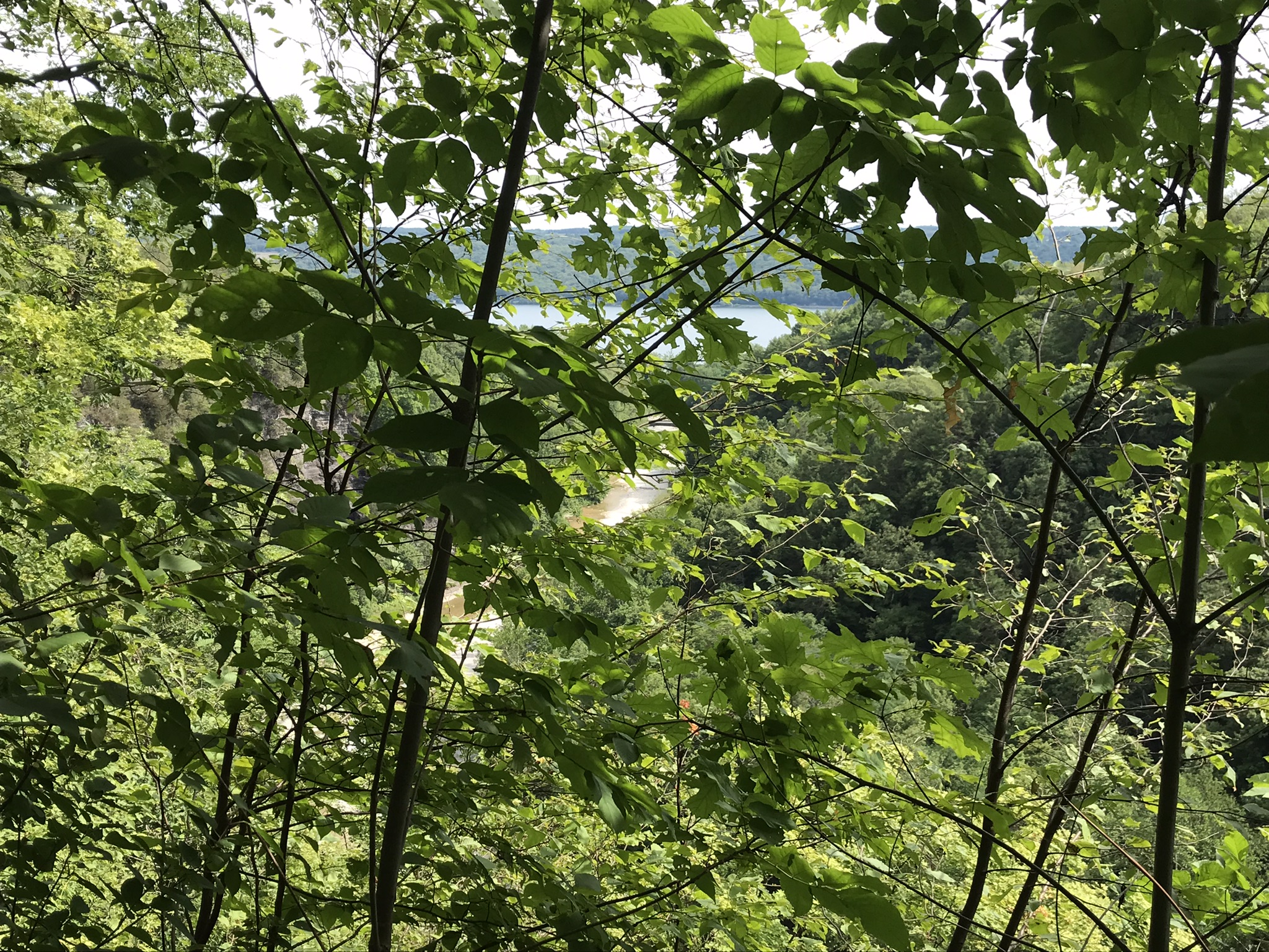
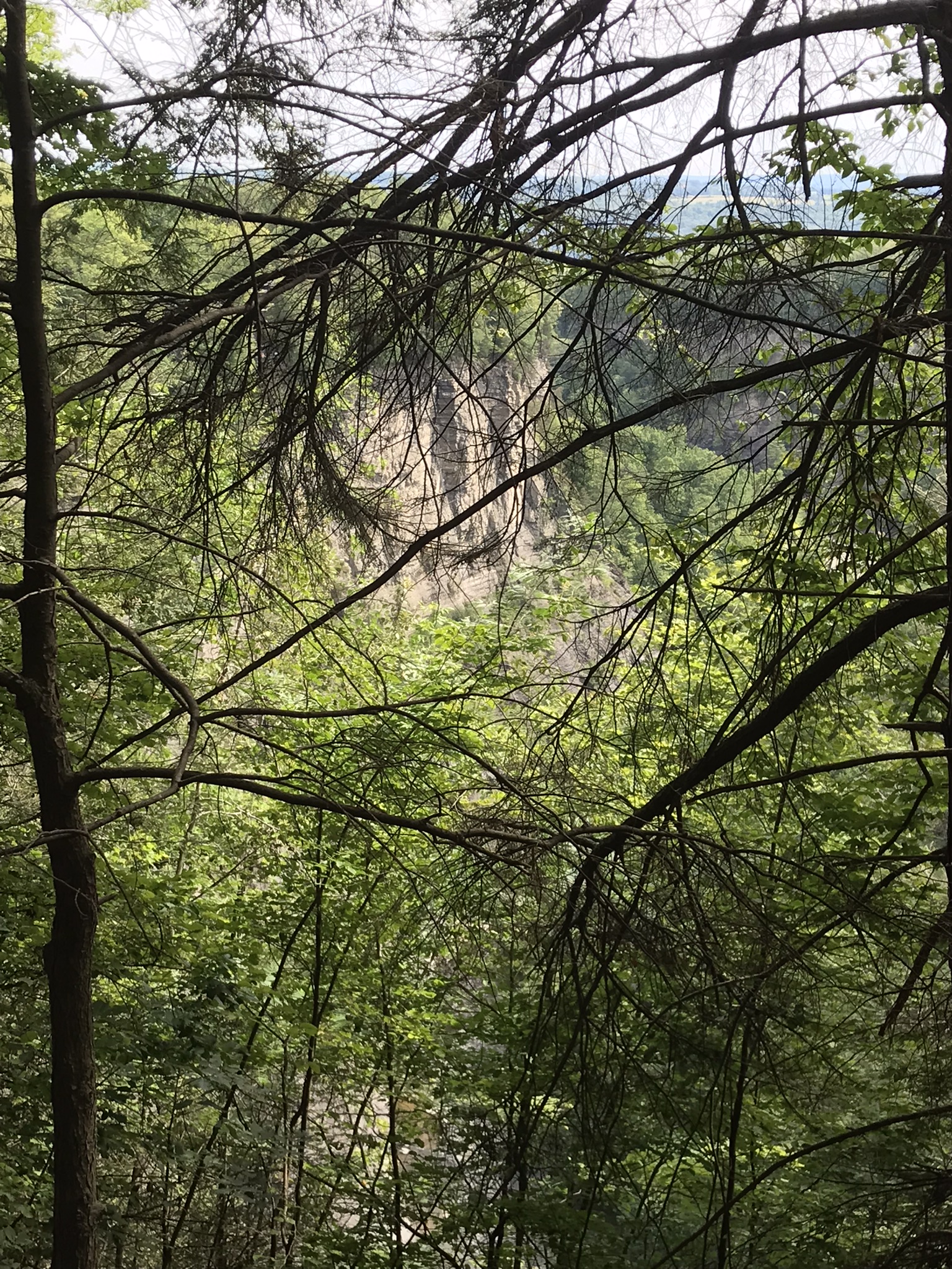
Stairs to North Rim from Cayuga Lake shoreuphill all the wayfirst view pointsecond view pointHepatica leavestrail erosionthird view pointfourth view point, northfourth view point, south with Cayuga Lake in distancefifth view point, east with only the south gorge rim visiblefifth view point, south wiht distant view of Cayuga Lakelooking into the gorge just below the fallssouth rim trail, looking into the upper gorge with native plantsmoss looking into the gorgeVultures perched on gorge walls above and around Taughannock Falls
Buttermilk Falls, upper
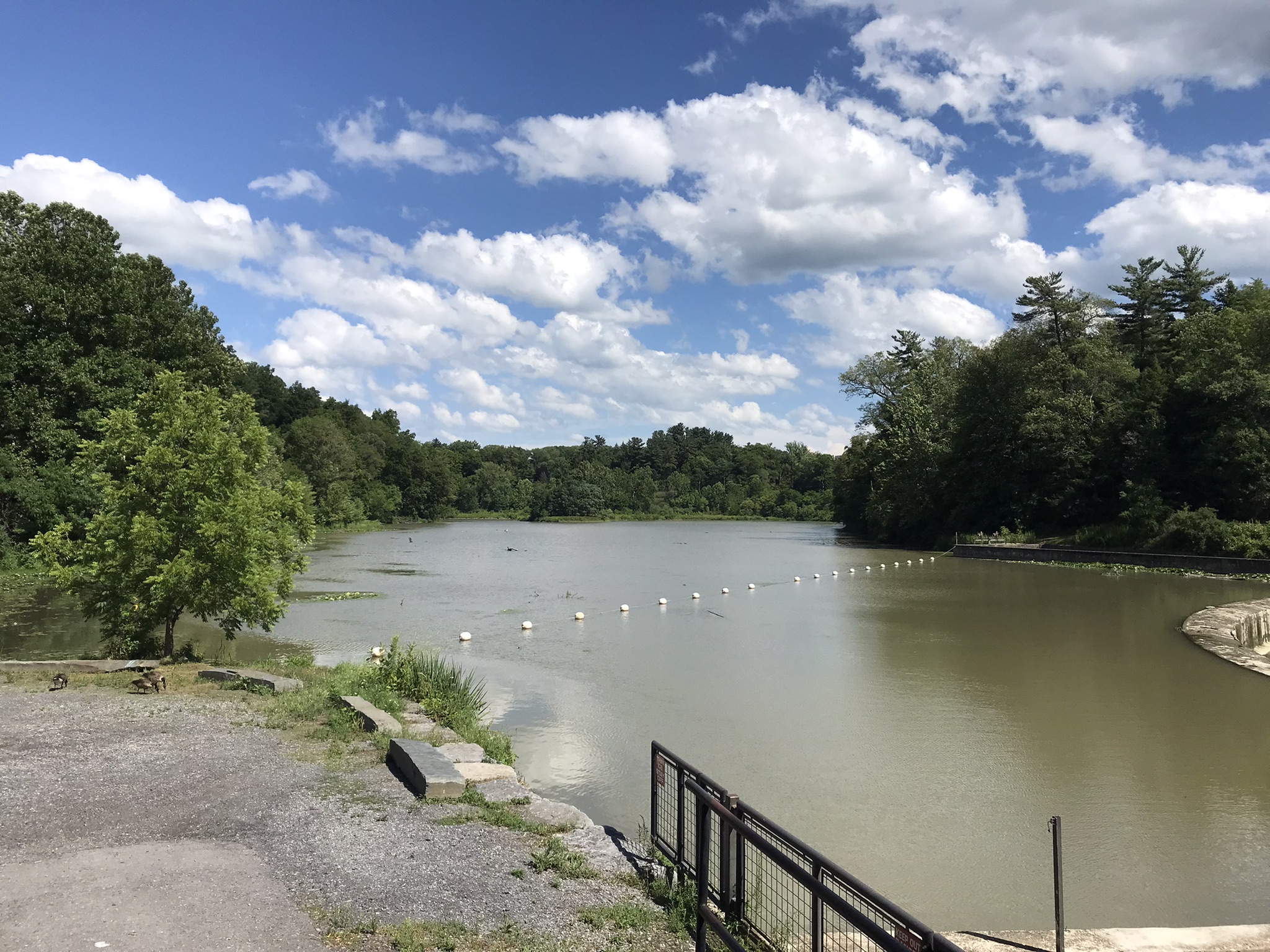
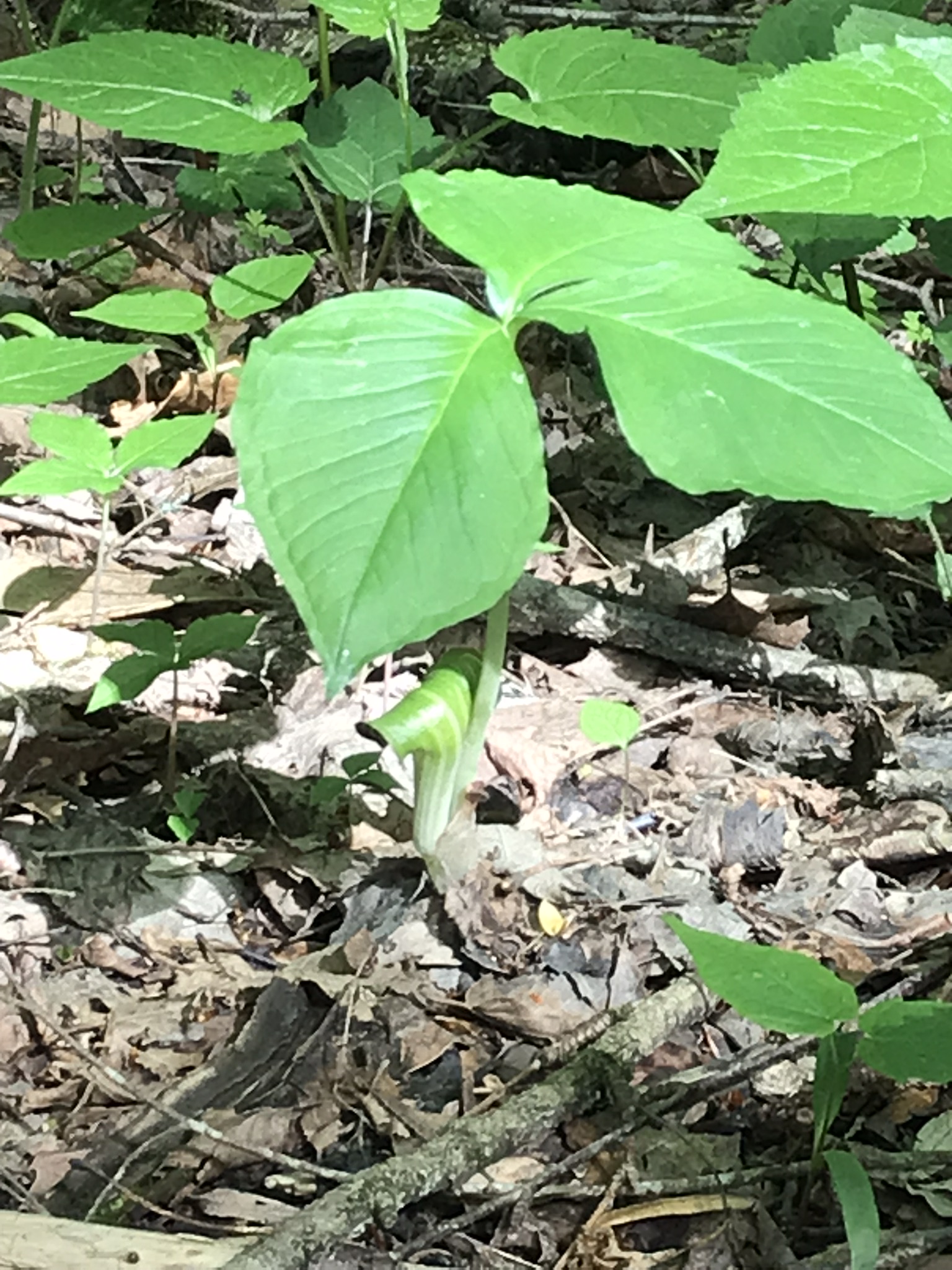
Jack in the Pulpit with spent flowerTreman Lake
A quiet moment……
Copyright 2022, Michael Stephen Wills All Rights Reserved
Travelling light, using the IPhone 7during a 4 mile walk on the Gorge and South Rim Trails of Robert H. Treman New York State Park, Finger Lakes Region near Ithaca, New York. A few waterfalls and sights along the way. Distance is from the “Health” app on my phone.
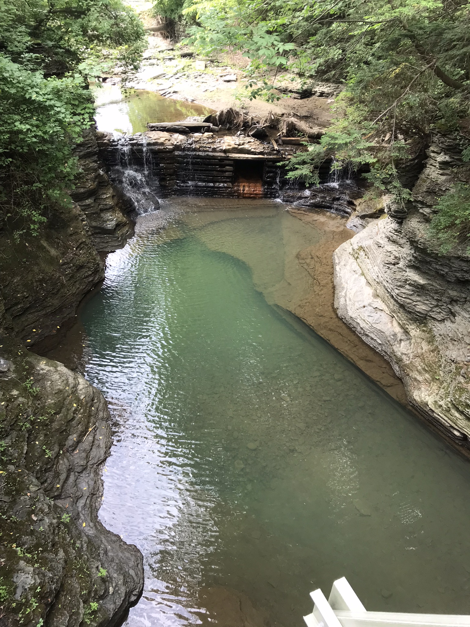
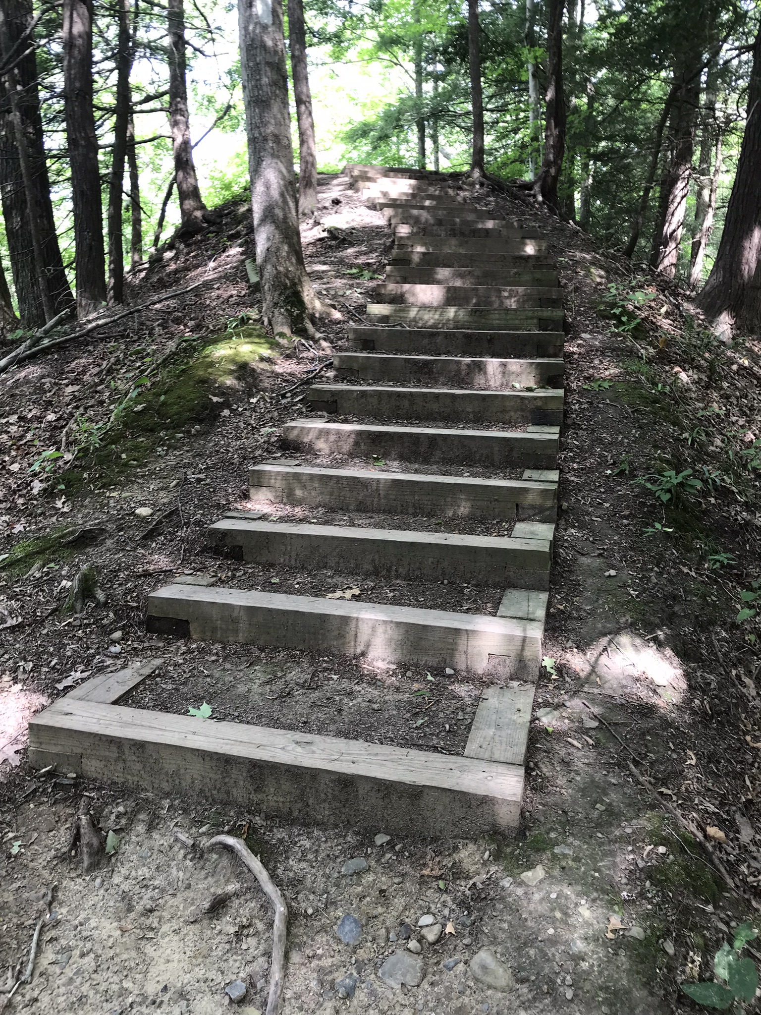
A pool is formed beneath this waterfall by a dam, removed each fall and yet to be placed. Summertime, the water is deliciously cool. It is great fun swimming to the waterfall base and inching along under the spray. This view is the reward for the first climb up from the gorge floor, the South Rim Trail.
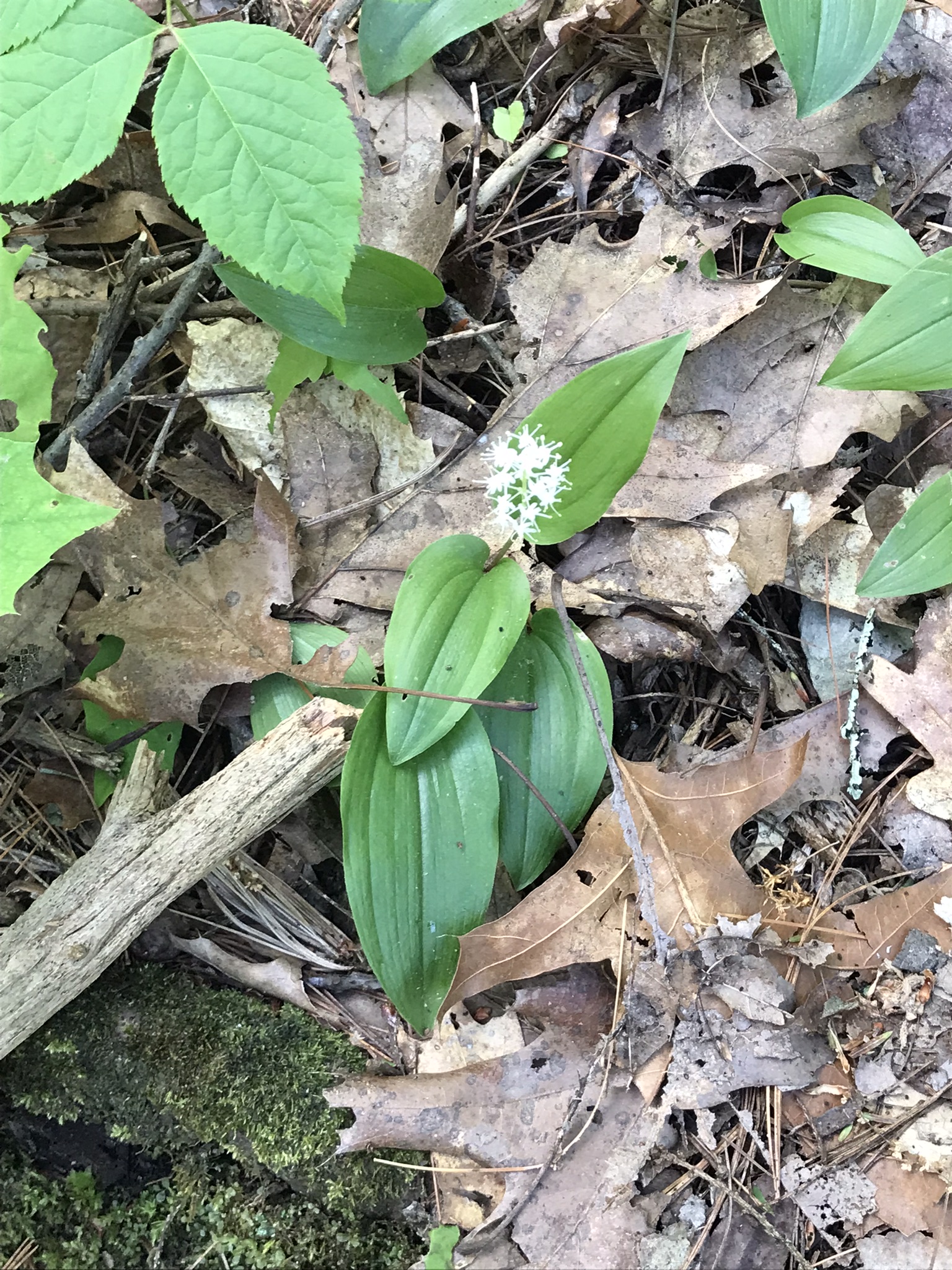
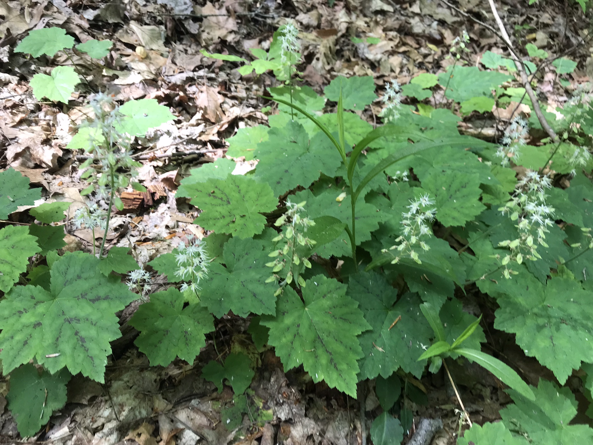
The first Foam Flower…..
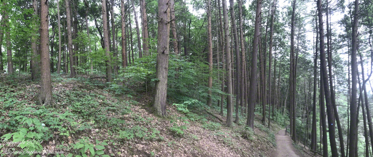
Rim Trail Panorama
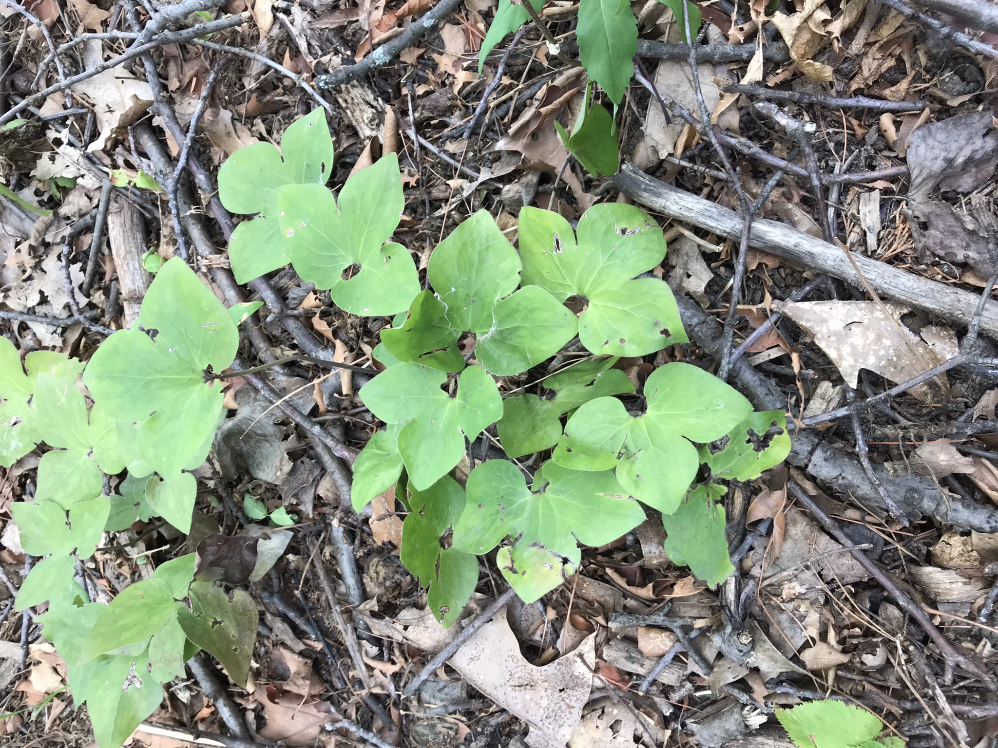
This flower grew just off this section of the trail.
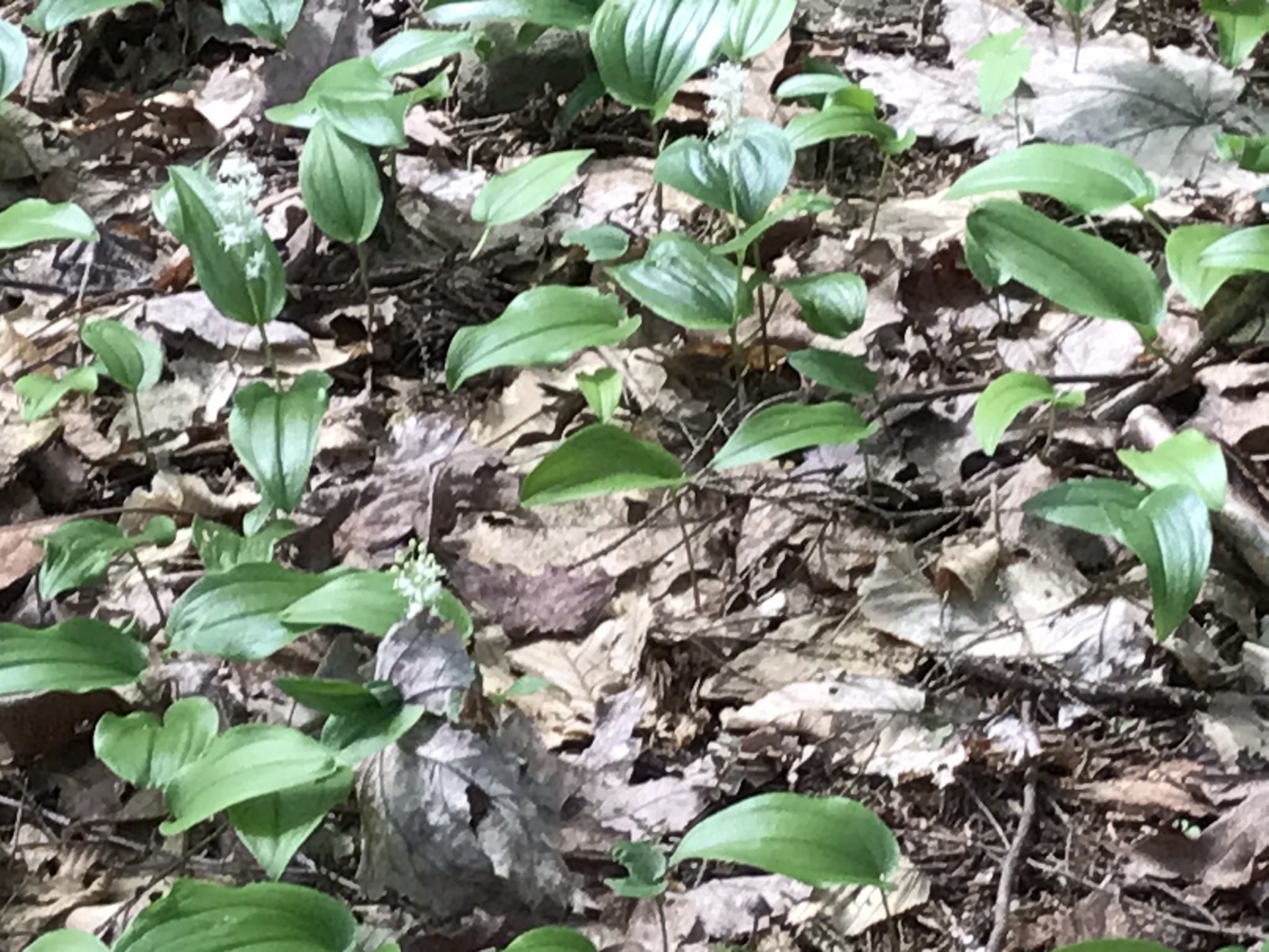
A few hundred feet further along, the Foam Flowers were crowded in clumps. The scientific name, Tiarella cordifolia, is from the heart shaped leaves (cordifolia). Each flower forms a crown like seed, thus “tiarella” from the French.
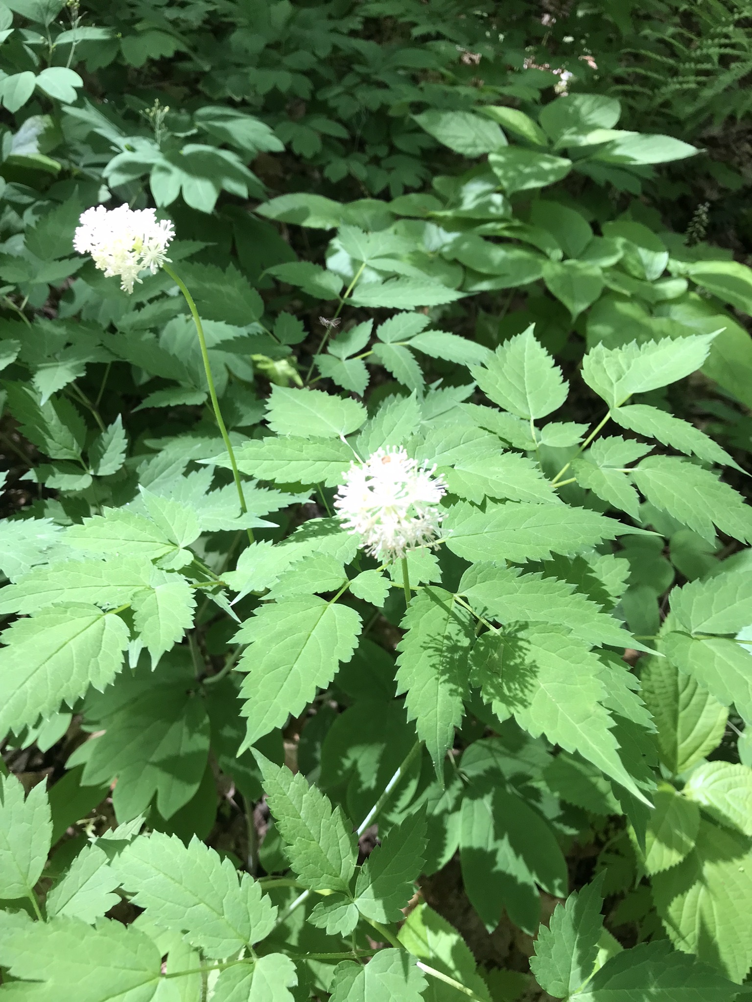
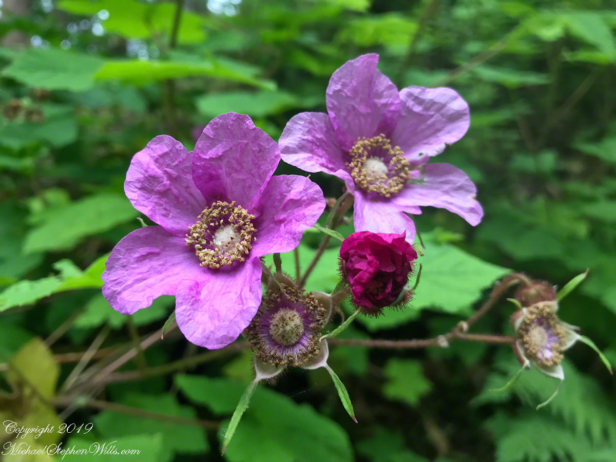
Here I approached the high point of this section of the South Rim Trail. I look forward to summer and Purple Flowering Raspberry, the featured photograph (header) of this post.
Travelling light, using IPhone captures during a 4.6 mile walk on the Gorge and North and South Rim Trails of Taughannock Falls New York State Park, Finger Lakes Region near Ithaca, New York. A few waterfalls and sights along the way. Distance is from the “Health” app on my phone.
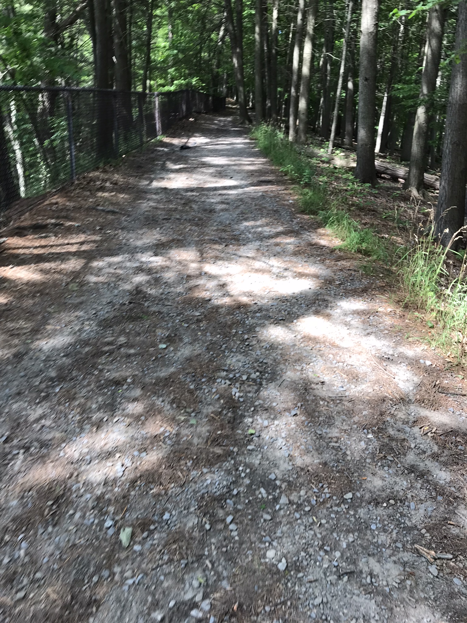
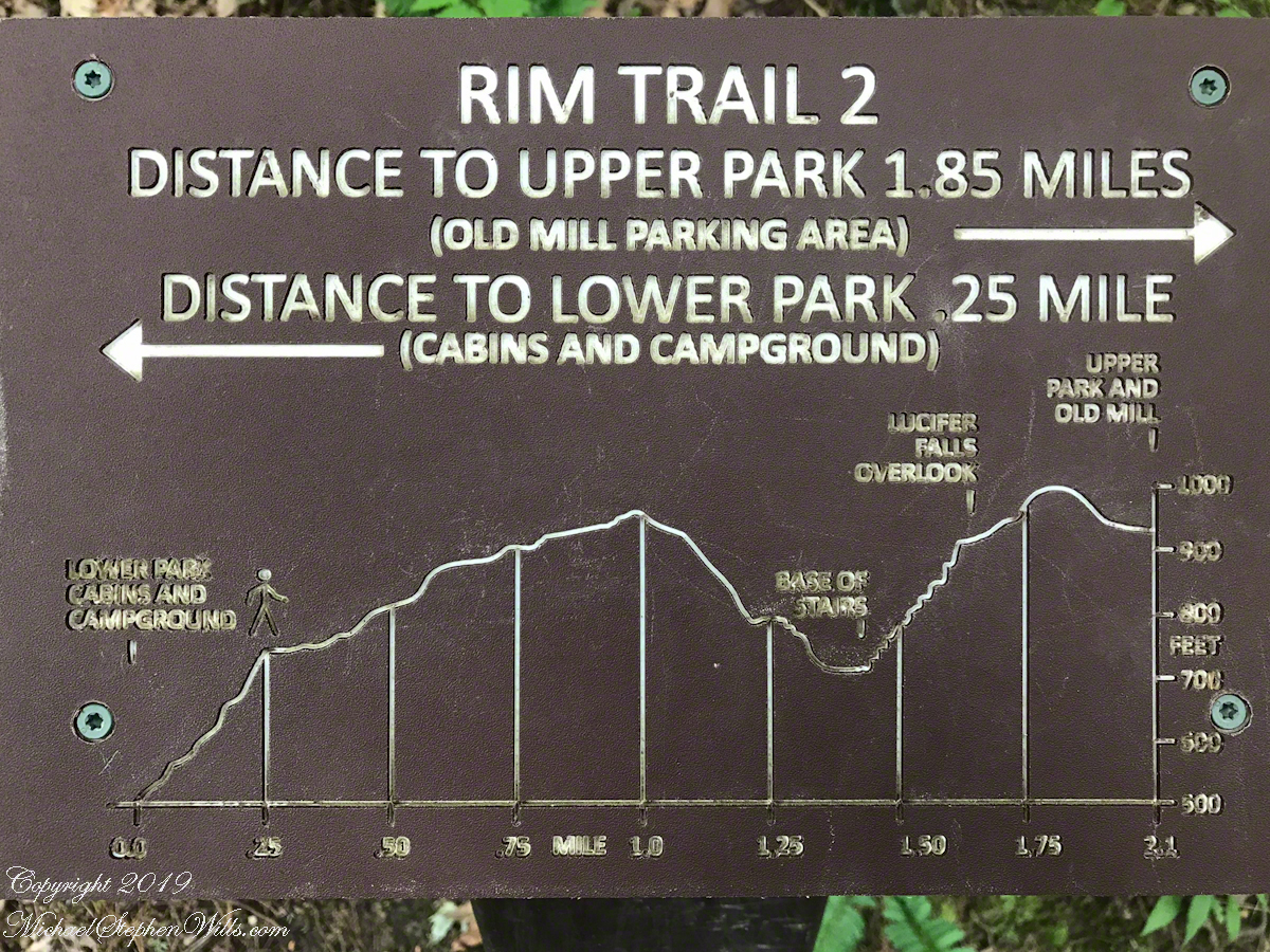
A “Rim Trail” follows the edge of the gorge. The “Gorge Trail” is within the gorge, along side the creek and ends at the 200+ foot waterfall.
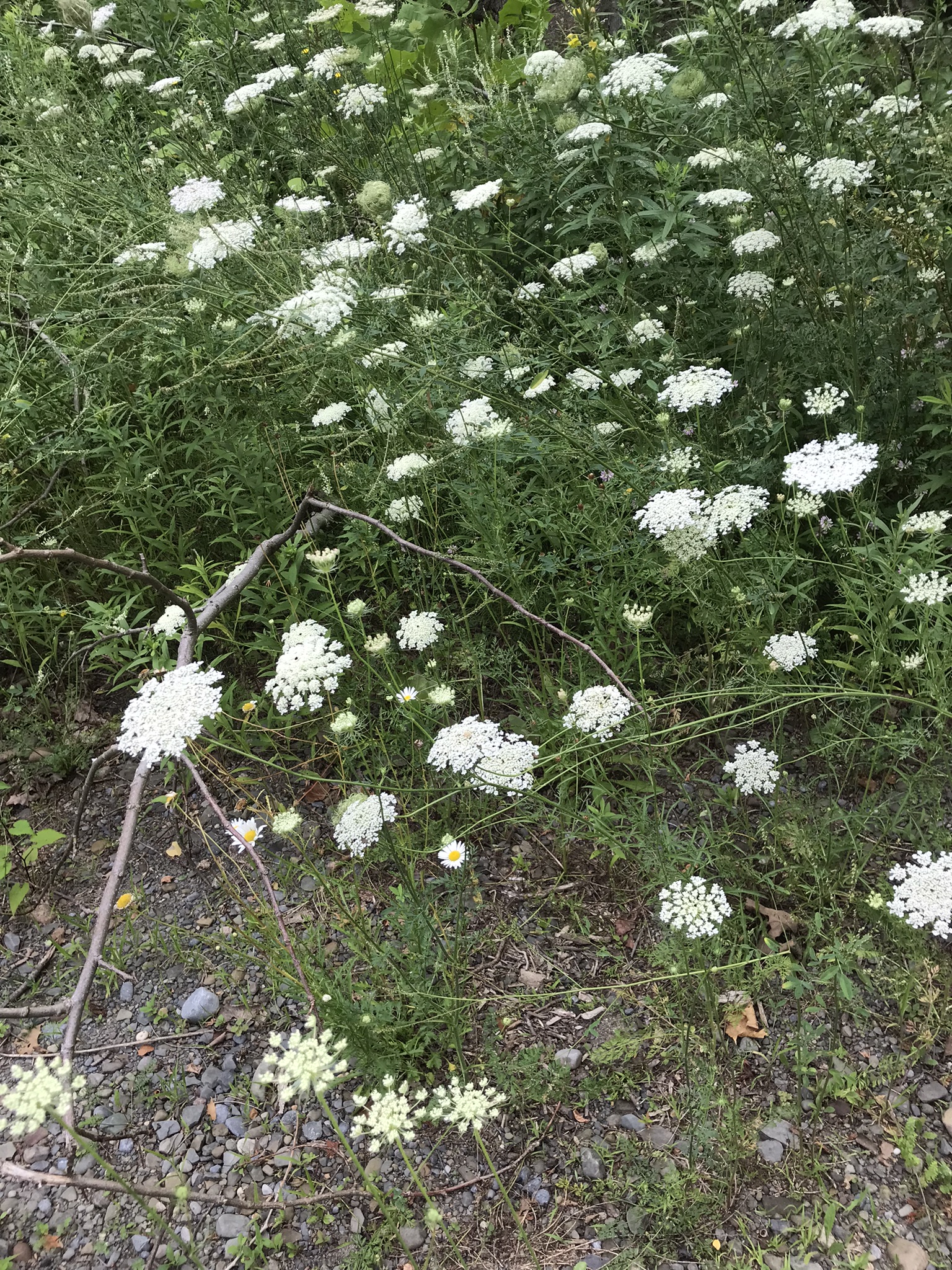
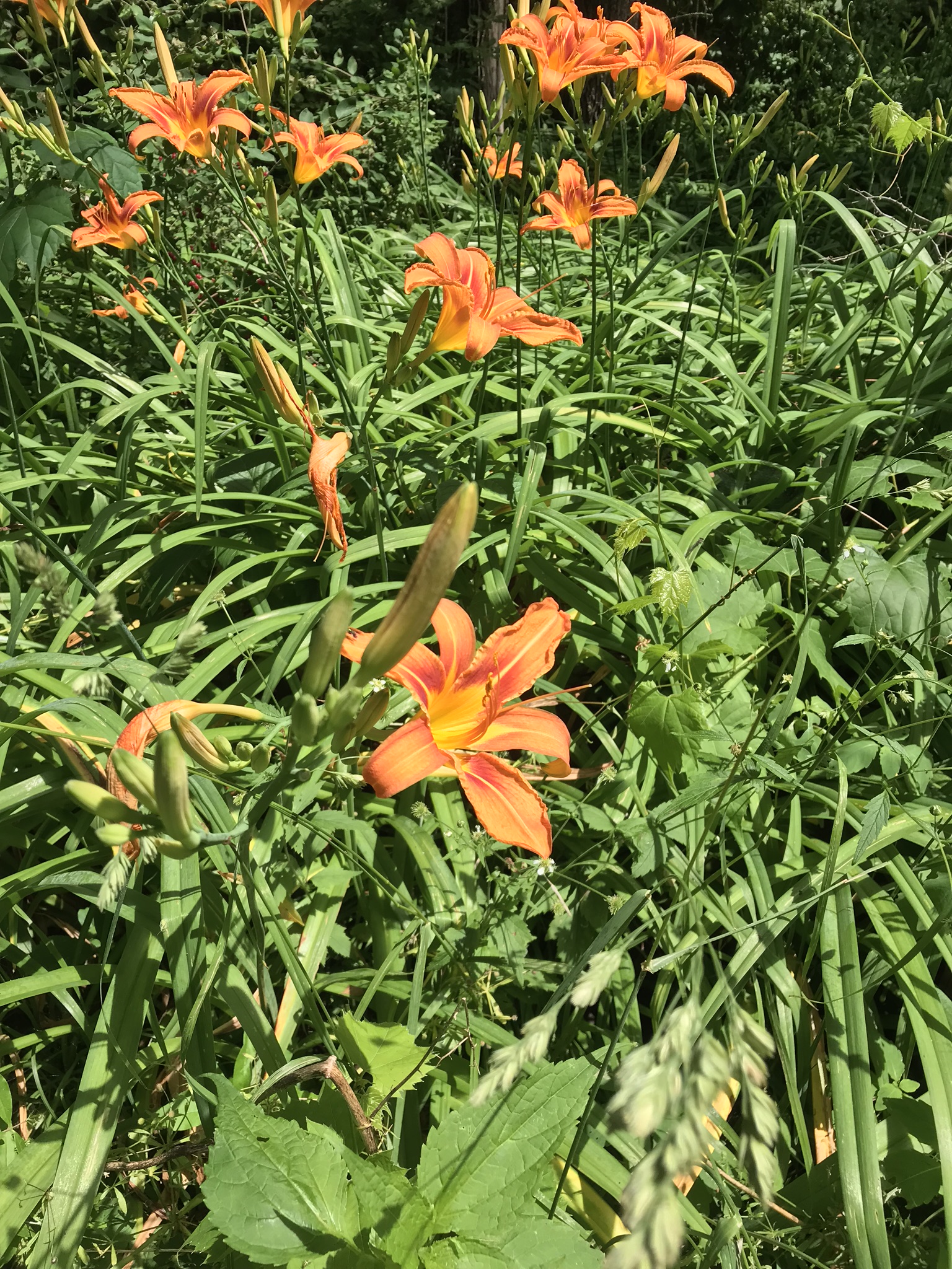
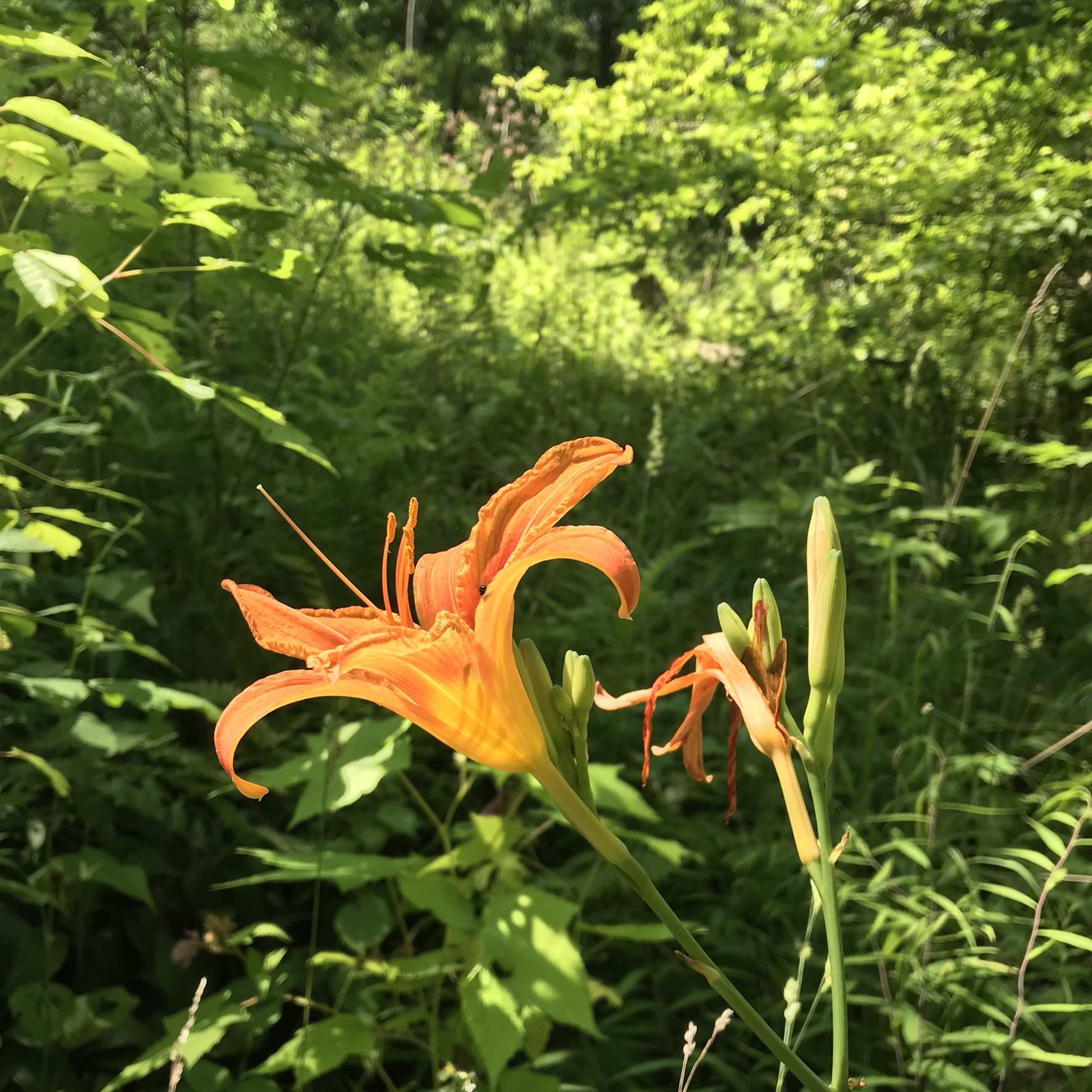
This was the day Tiger Lilies bloomed along the roads the entire 13 miles. This stand was at the beginning of the South Rim trail.
A few steps farther the trail opens up to the expanse of the gorge above the waterfall, a place to contemplate the age of these rock gazing into the open space. There is no access to the bottom of the gorge here.
On days like this, the experience carries me away, enjoying the moments and forgetting the phone in my pocket. When I come to, it is the bottom of the South Rim trail at the entrance to the Gorge Trail and the hordes walking to the falls on a Sunday afternoon. This waterfall welcomes everyone at the beginning.
The vantages I choose usually exclude the crowds, here is a video of the observation platform beneath the 215 foot Taughannock Falls. Any closer and the camera lens is covered with mist. Feels great on this hot day.
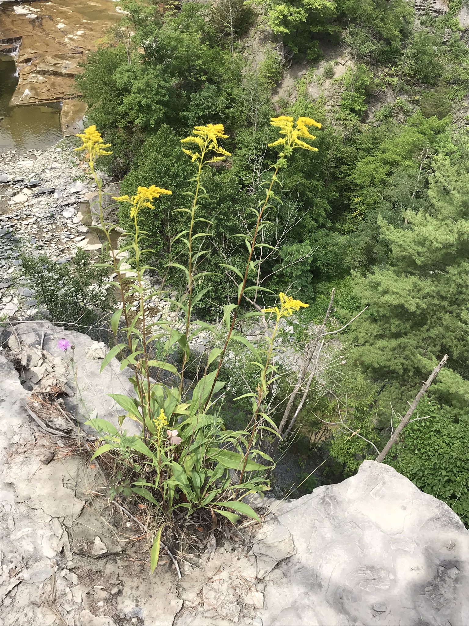
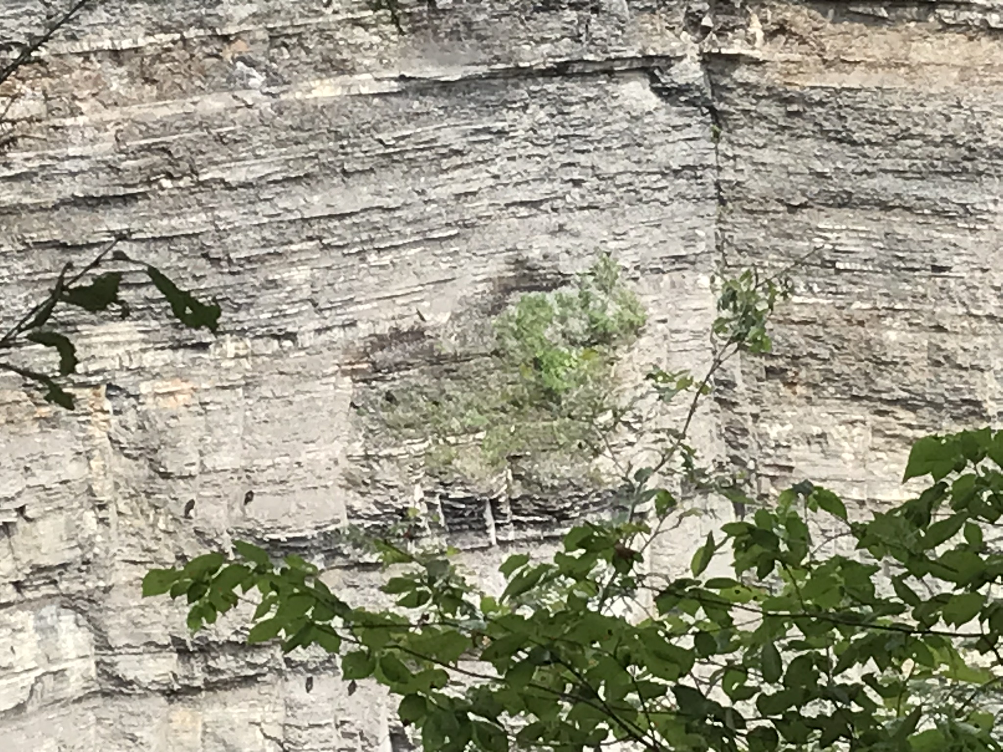
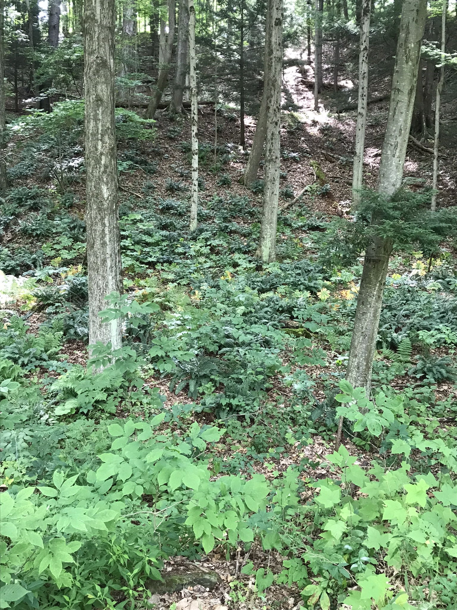
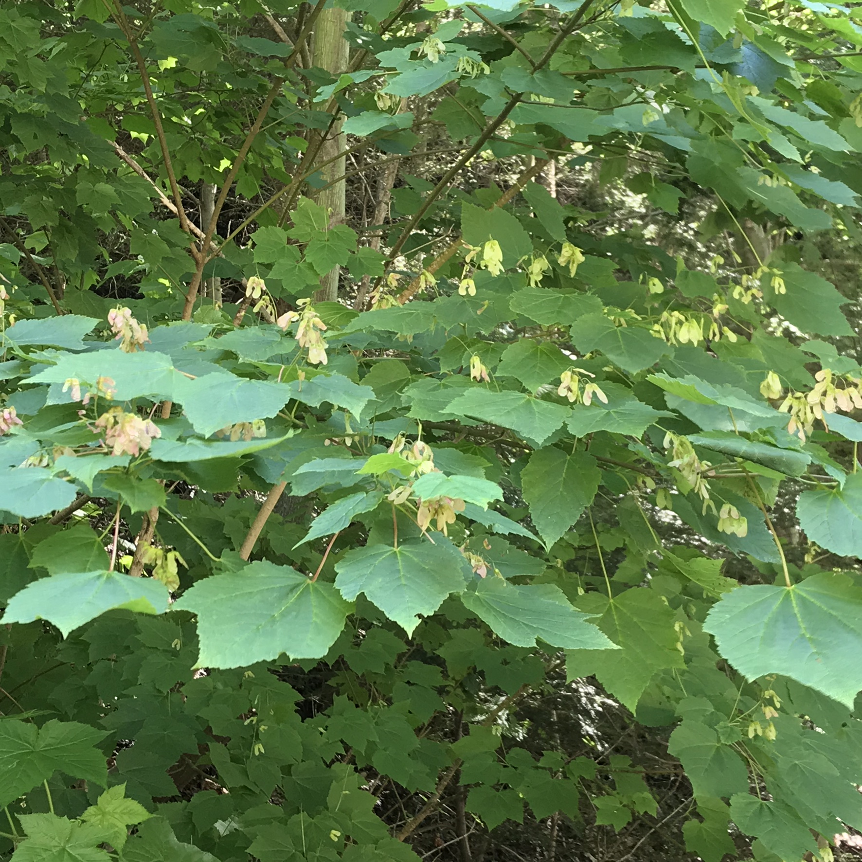
I capture this tree growing along the Gorge Trail for later identification. It has fruits similar to a maple tree. Called samaras and also known as helicopters, maple keys, whirlybirds, and polynoses these must distinguish this tree as a member of the genus Acer though the leaf shape gives me doubts. Here the gorge changes direction almost 90 degrees from, generally, north/south to east/west. There is plenty of sunlight here and the tree has taken root in the talus of the cliff face.
I researched it and discovered the scientific name is Acer pensylvanicum and more commonly known as Moosewood. There is a “famous” restaurant in Ithaca, named Moosewood, so now I know there is indeed a tree growing locally by that name. The restaurant is near the commons of Ithaca and is 100% vegetarian. The last time Pam and I at there we were packed like sardines, like some collective, and we’ve never been back. The food is good and the basis of their fame is a cookbook by the same name.
Backlit lilies found on the climb up the North Rim trail.
Travelling light, using IPhone captures during a 5.7 mile walk on the Gorge and South Rim Trails of Robert H. Treman New York State Park, Finger Lakes Region near Ithaca, New York. A few waterfalls and sights along the way. Distance is from the “Health” app on my phone.
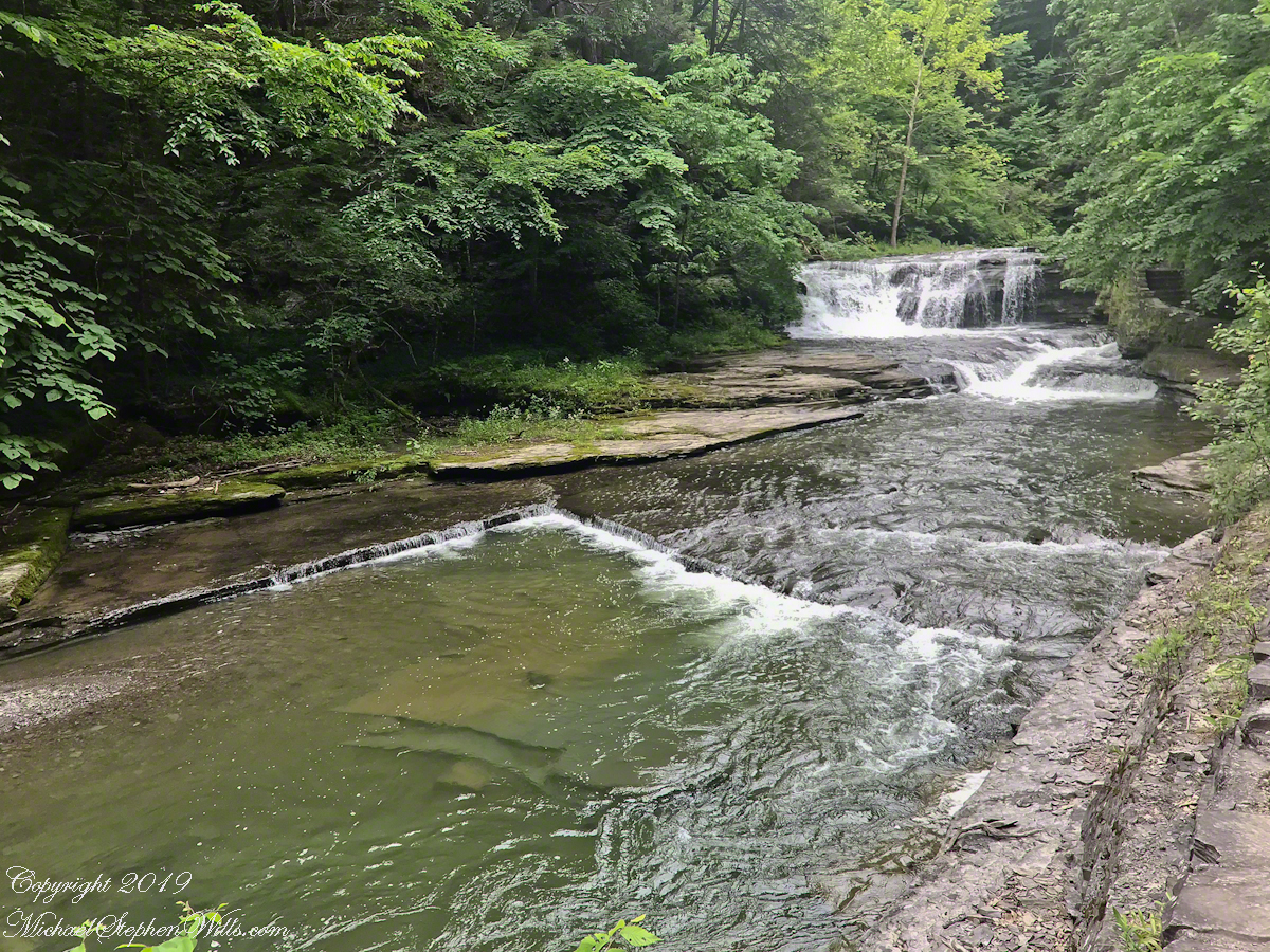
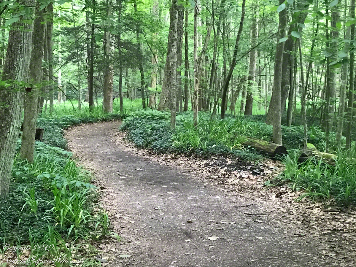
One of many waterfalls along the Gorge TrailLooking back to the above waterfallEnchanted Trail
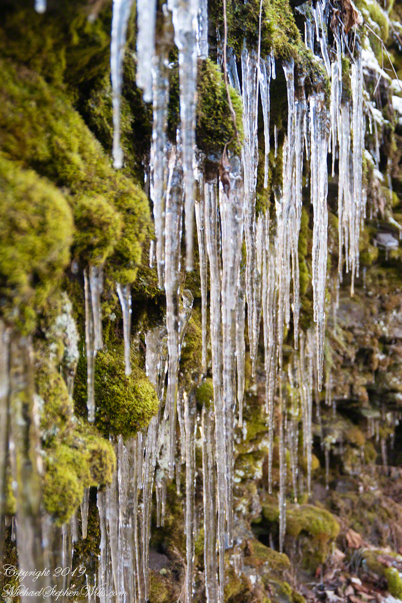
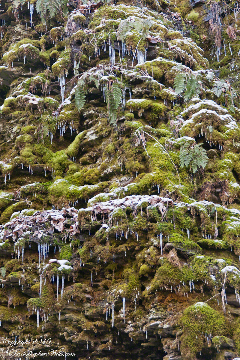
Birdsong and enchanted placeBayberry?The power of flowing water (flood stage)