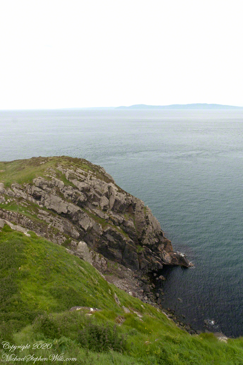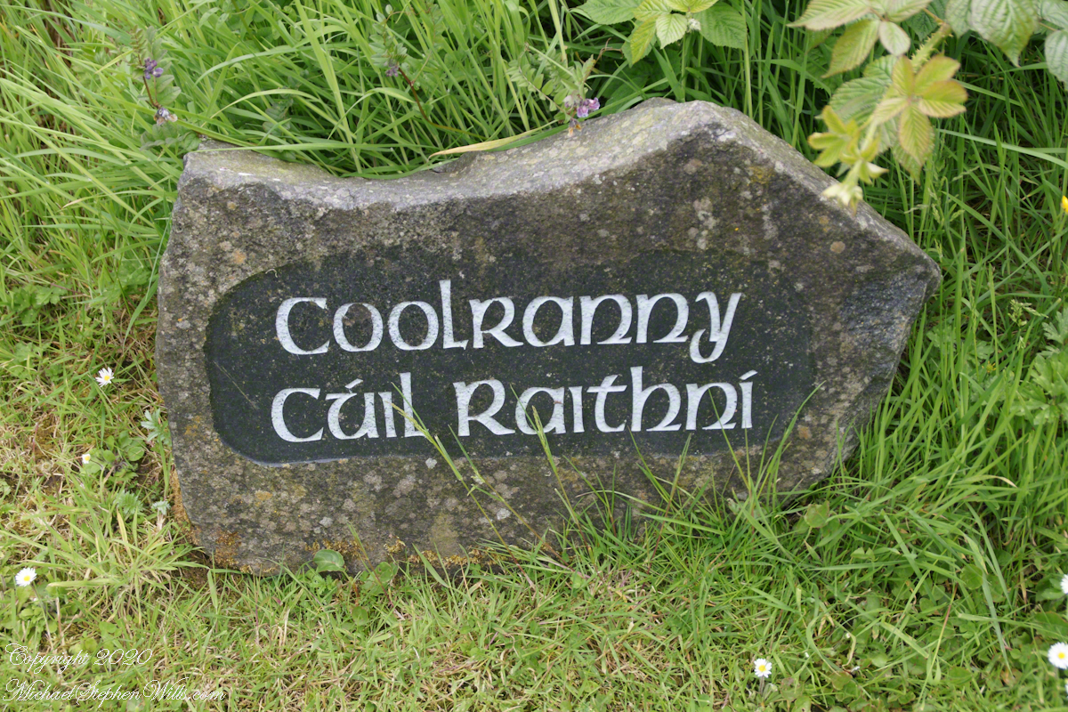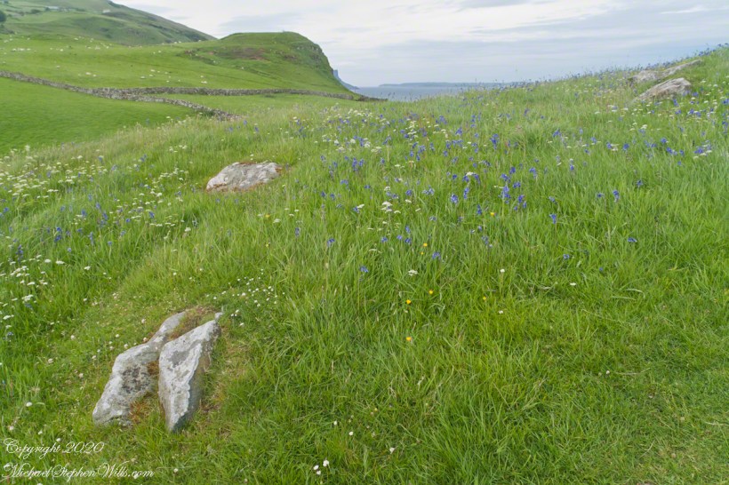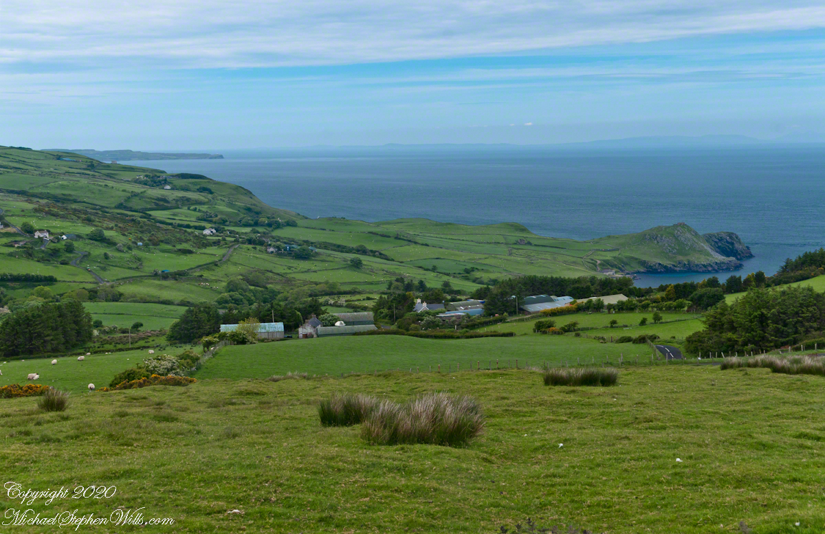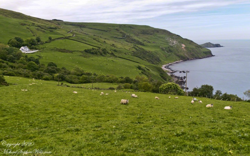
Torr in Irish is a steep rocky height. Likewise, Corr means odd, uneven, rounder, convex, curved, peaked, projecting, smooth. Combined Torcorr is the townland where we stopped on the Torr Road, halted by our wonder at this sight.
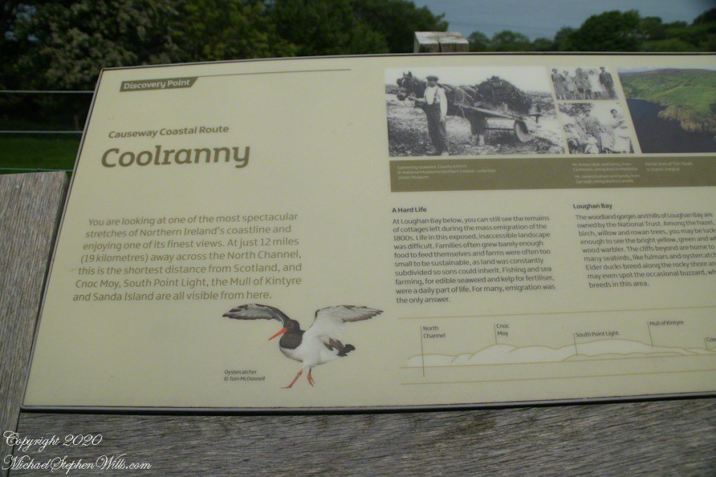
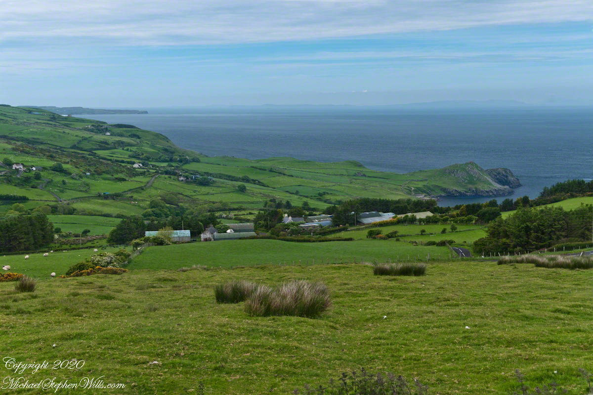
In the distance, Torr Head projects into North Channel, the closest land to Scotland. Following the coast, the cliffs in front of Torr Head are home to numerous sea birds such as Fulmars (family Procellariidae) nad Oystercatchers (family Haematopodiadae). Along the rock beaches next Eider Ducks (genus Somateria). You might see the Common Buzzard (species Buto buteo).
Click photograph for a larger view. To do this from WordPress Reader, you need to first click the title of this post to open a new page.

Click me for an earlier Torr Head post “A Bit About Torr Head.”
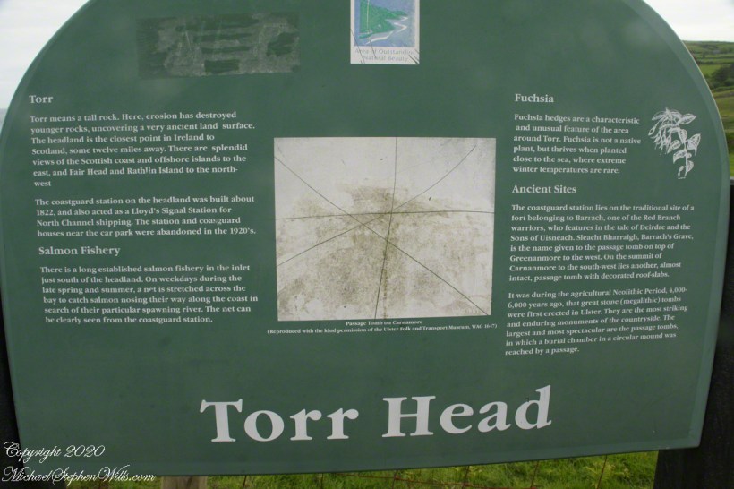
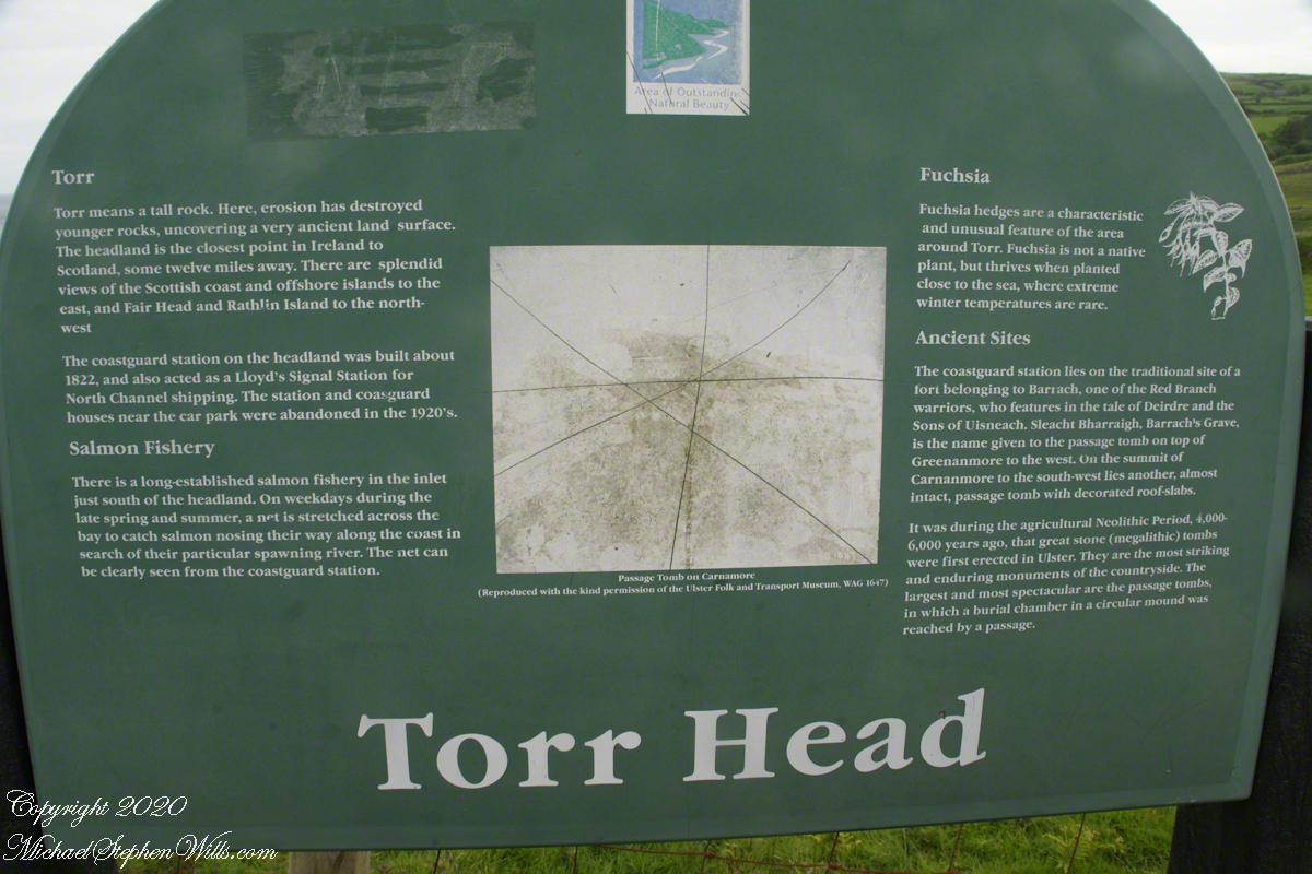
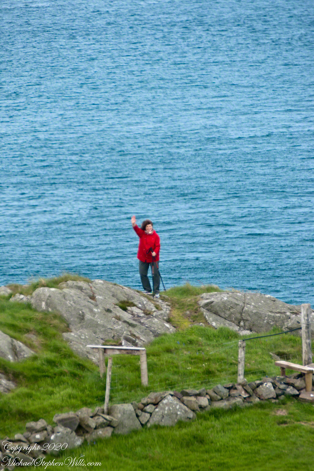
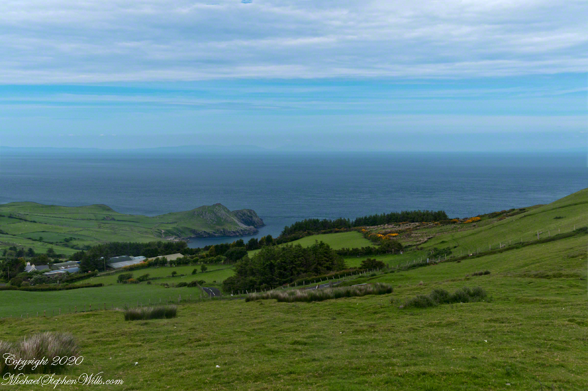
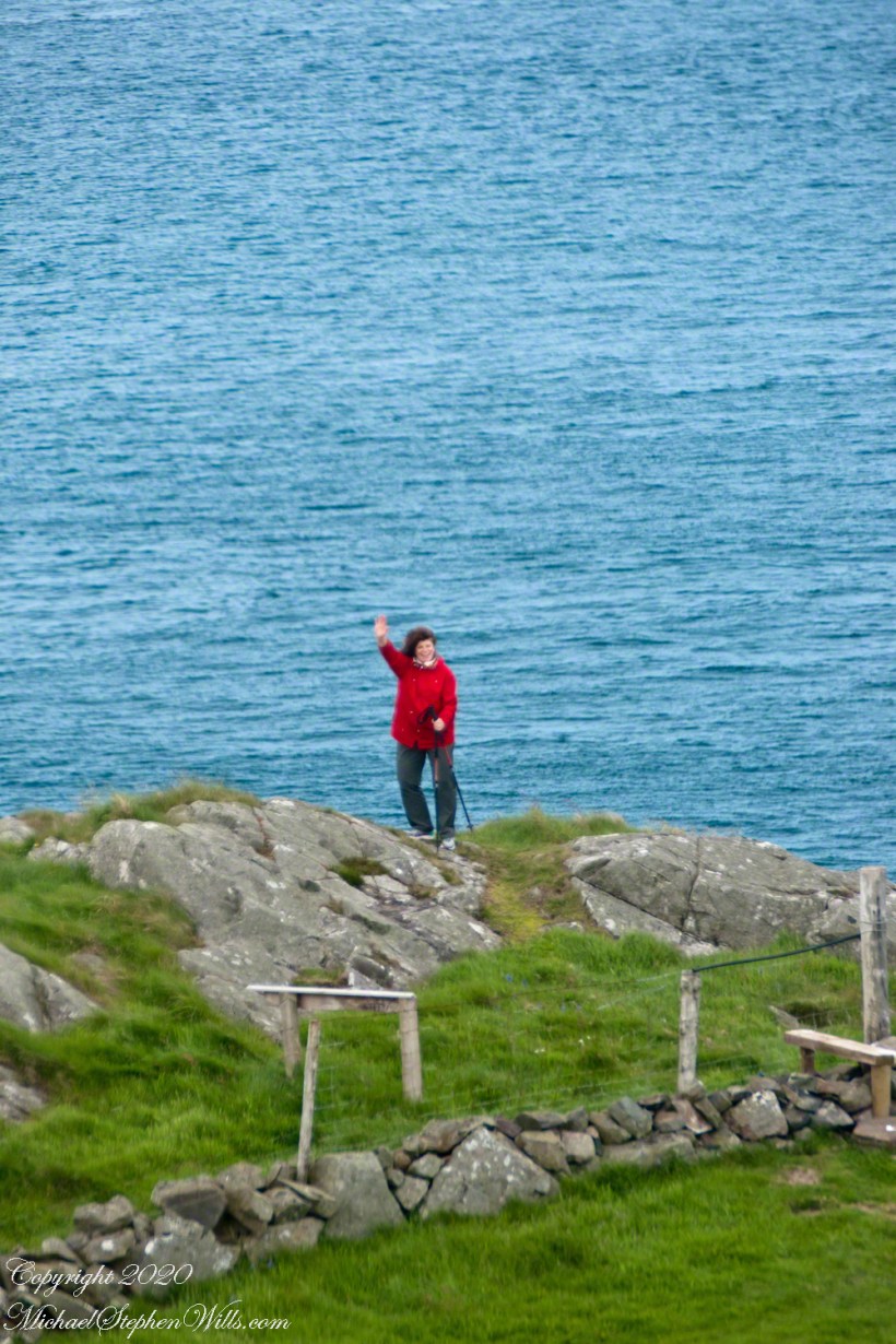
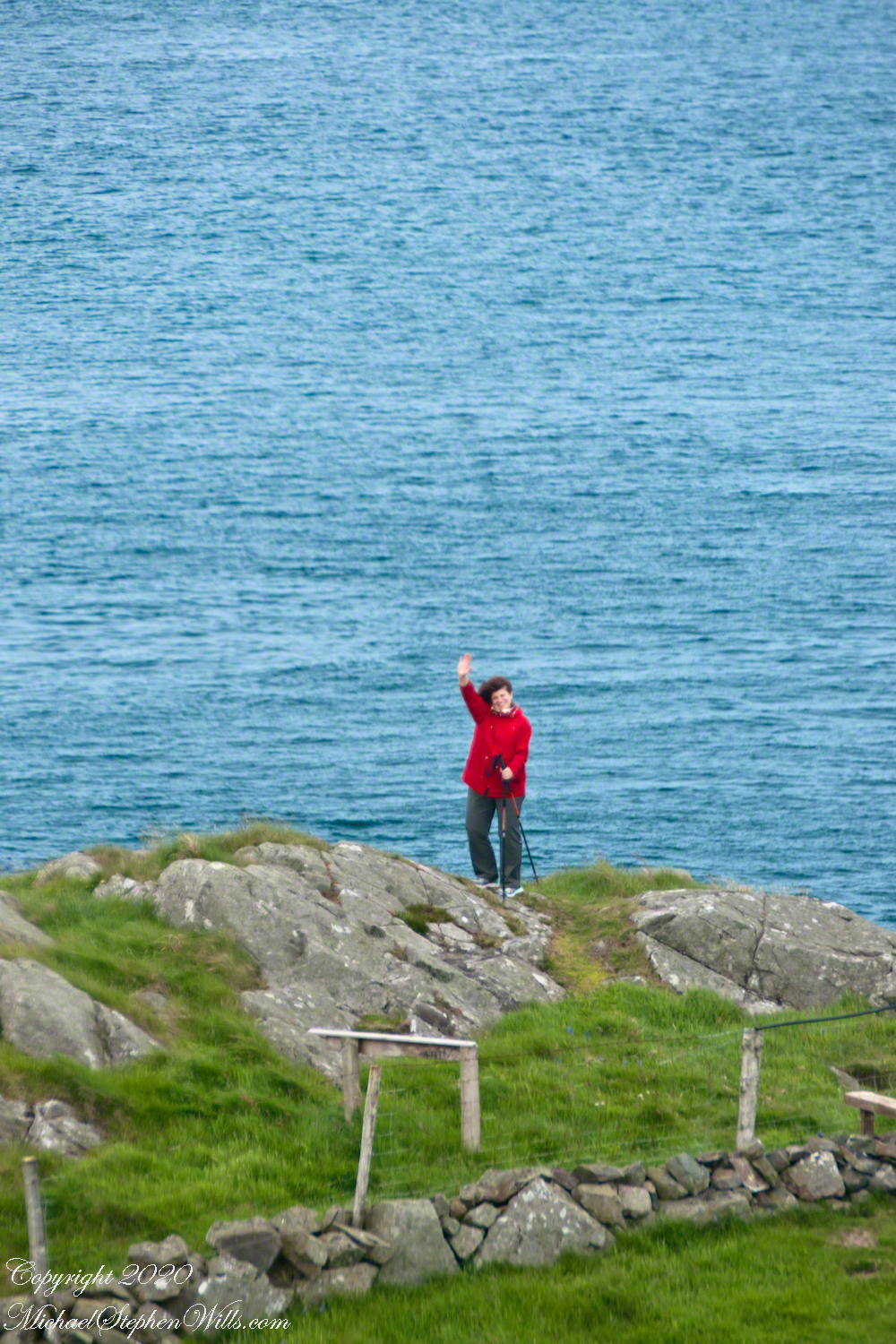
In the following photograph Torr Head seen from immediately above. I stand on the ancient site of Barrach’s fort, a knight of the Red Branch. After some internet research I cannot find another reference to this knight, other than the information placard on Torr Head.