My photographic style centers on the use of natural light to visualize emotion and evoke memory. The evolution of my style began early in the year 2002, with an imperative to capture personal and fleeting memories.
My son and I traveled to New York City, to view the first Saint Patrick's Day parade after September 11, 2001. My work from that parade was so successful and satisfying (see "New York Fire Department, Saint Patrick's Day 2002") I just never stopped.
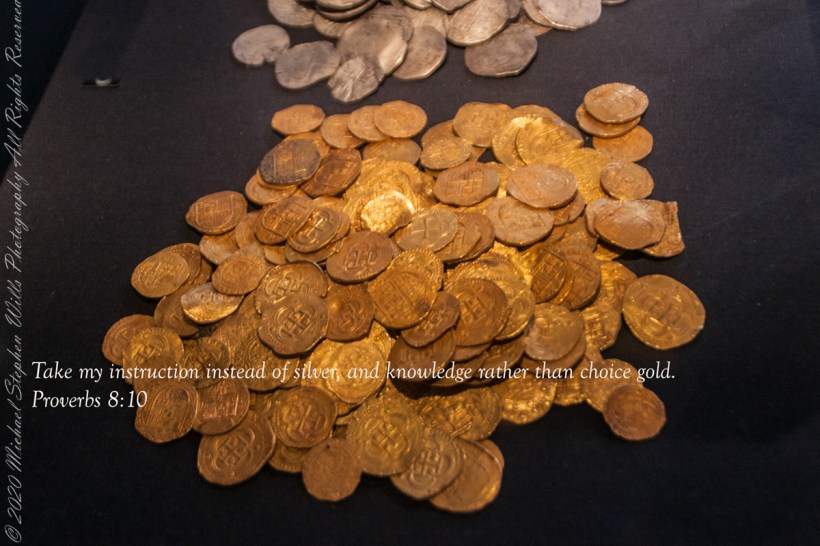
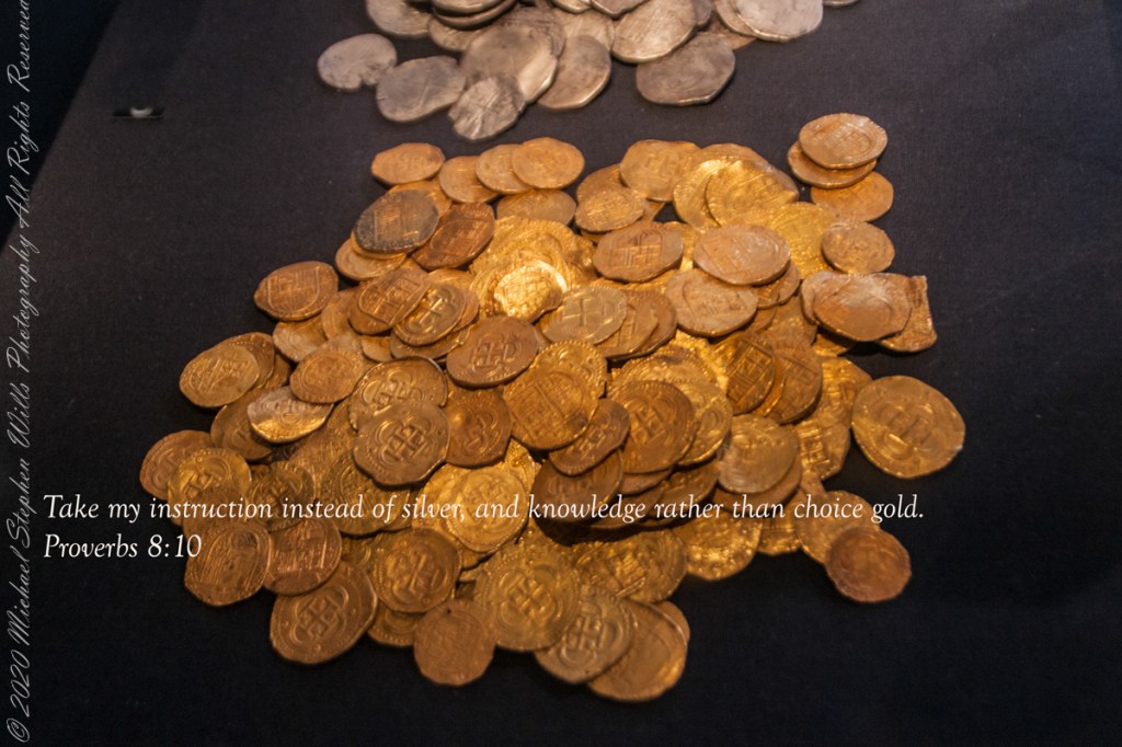
Gold on display for the permanent exhibit “Treasures of the Girona,” Ulster Museum, Belfast. It is not Leprechaun gold, certainly.
“Lay not up for yourselves treasures upon earth, where moth and rust doth corrupt, and where thieves break through and steal: But lay up for yourselves treasures in heaven, where neither moth nor rust doth corrupt, and where thieves do not break through nor steal: For where your treasure is, there will your heart be also.” Matthew 6:19-24“
Copyright 2022 Michael Stephen Wills All Rights Reserved
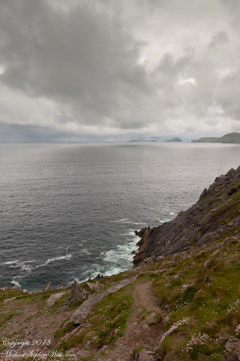
On the Dingle Peninsula, County Kerry, Ireland photograph taken from Slea Head Drive (R559), looking west down the cliff toward the North Atlantic Ocean breaking on the rocks. In the distance, Slea Head and the Blasket Islands. In the forground, the wildflower of Red Clover (Scientific Name: Trifolium pretense) (Irish Name: Seamair dhearg).
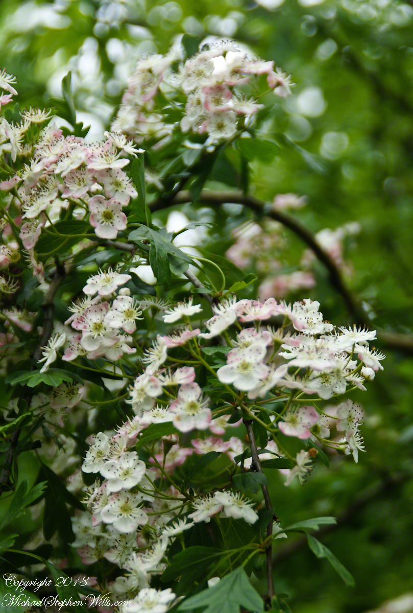
I originally published these blossoms as “wild rose”. It was my Facebook friends who pointed out these are hawthorn flowers. The key to identification was the shape of the leaves.
Blossoms of Hawthorne taken on the site of the former McCardle Home, Proleek Townland, County Louth, Ireland.
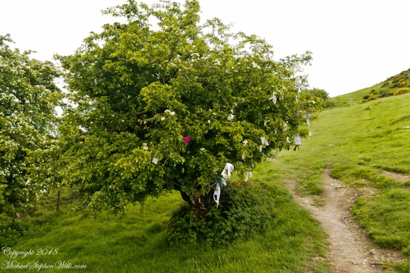
In correcting my mistake, I learned the young leaves of Hawthorn are excellent for salads. Wonder how the fairy folk, associated with single hawthorns (as in the following photograph from the Hill of Tara), react to picking leaves from their trees? I didn’t hear of the practice during our time in Ireland.
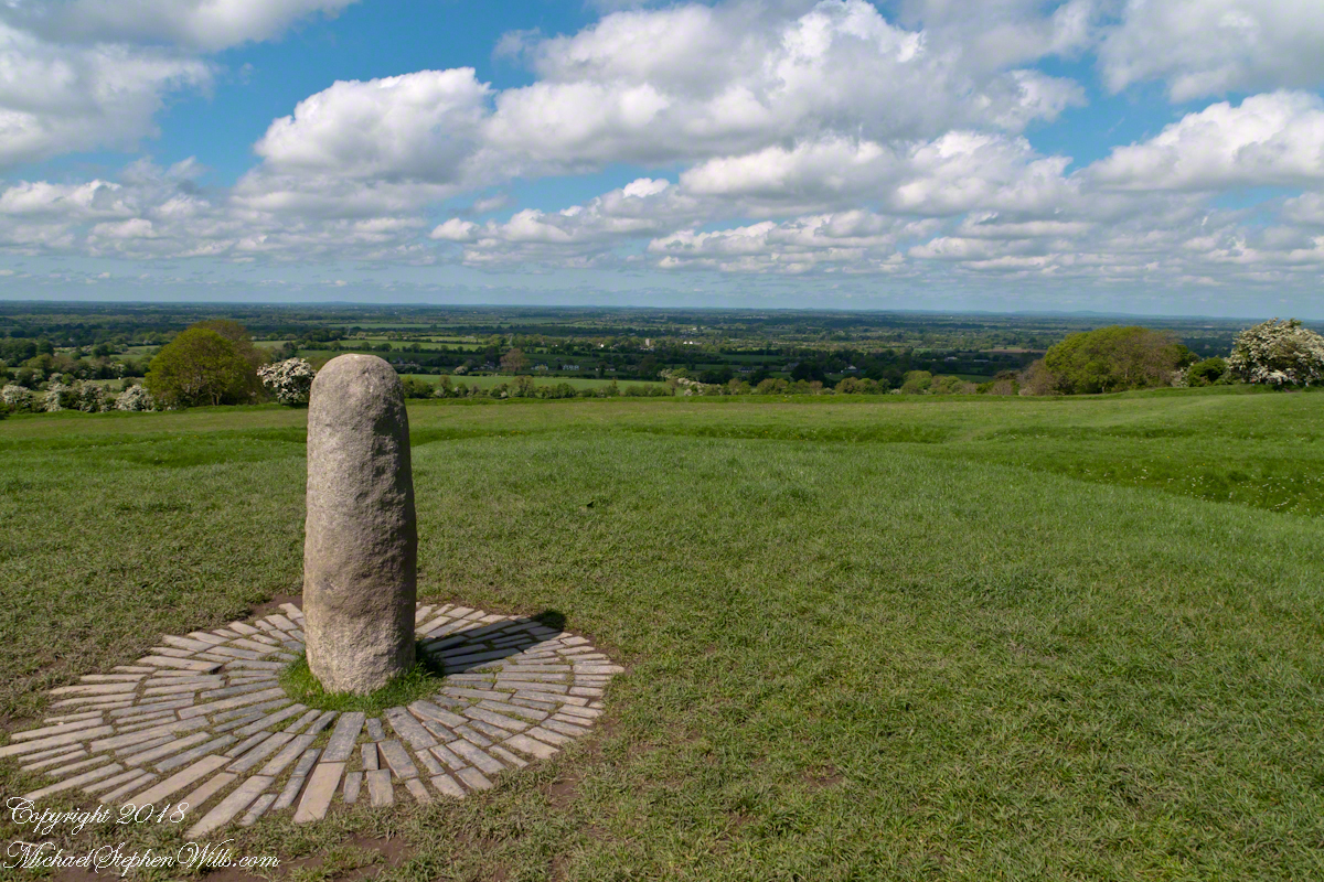
View northwest from Hill of Tara looking across County Meath with views of Counties Westmeath and Cavan. On the horizon, right, is Hag’s Mountain, (Irish: Sliabh na Caillí) , site of the Loughcrew Cairns. The standing stone is the “Stone of Destiny: (Irish: Lia Fáil), which served in coronation the coronation of the High Kings of Ireland. It stands on the Inauguration Mound (Irish: an Forrad) of Tara. This photograph was taken the morning of May 27, 2014 hours before the stone was vandalized, doused with green and red paint.
My mistake was understandable, in botany the hawthorn is in the same family as the rose. The flowers are similar, having five petals. The “haw” in hawthorn is from the Old English word for hedge, as is this linear standoff the tree lining the way up to the Loughcrew Cairns.
Reaching highest point of County Meath, Ireland means a steep path, not too long, to glorious views on all points plus Lough Craobh (Lake of the Branches).
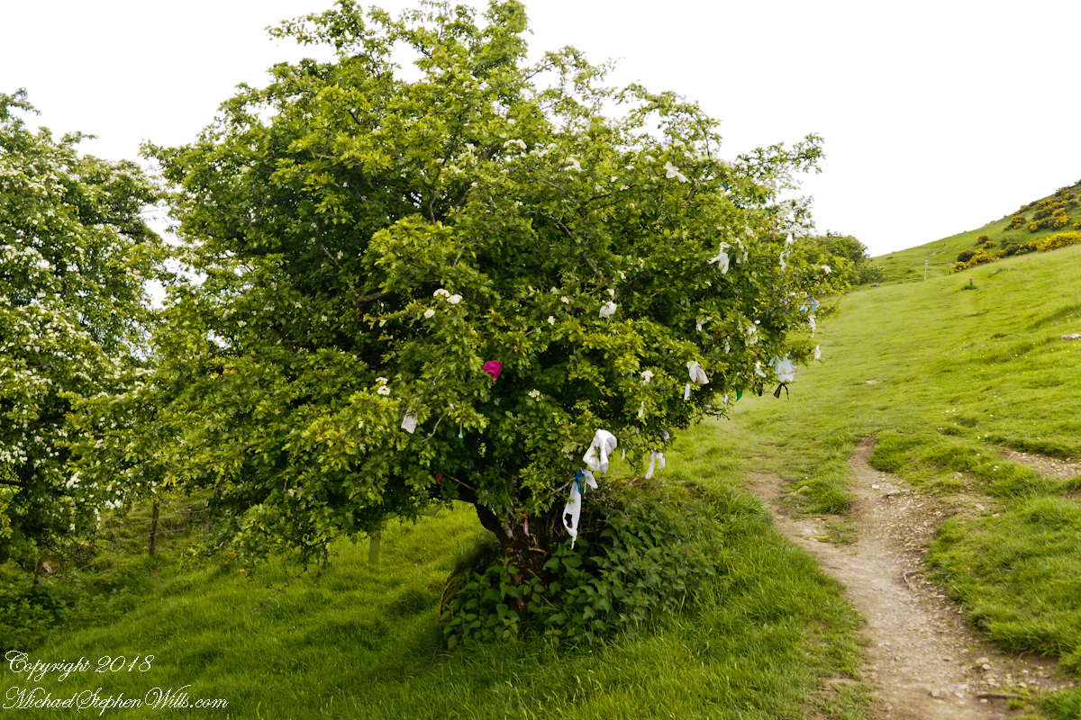
I read these votive offerings are made at Beltane, in which case these are fresh from placement May 1.
A hawthorn tree in bloom on May 27, 2016. Growing on the slope of Hag’s Mountain
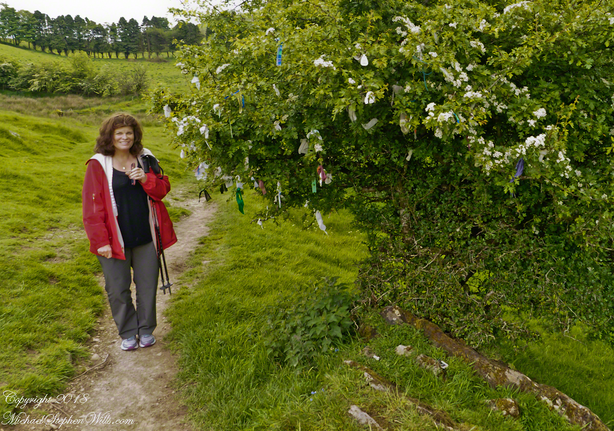
The following year Pam underwent double total knee replacements, never the less, she was great company for all our adventures on the island. Even this steep climb.
The steep path to Loughcrew passes a hawthorn covered with flowers and May offerings.
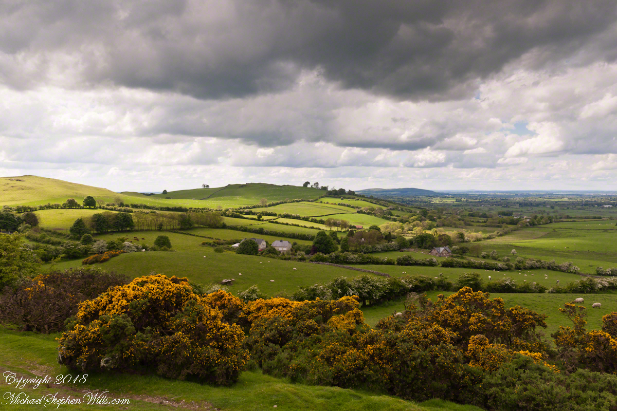
These views were our reward for reaching the top.
View from Loughcrew Cairns, “Hags Mountain”
The Emerald Isle, we fully understood this name.
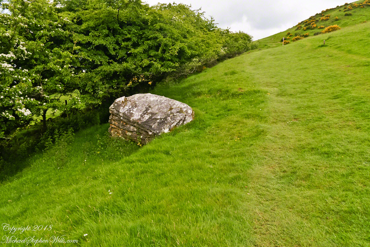
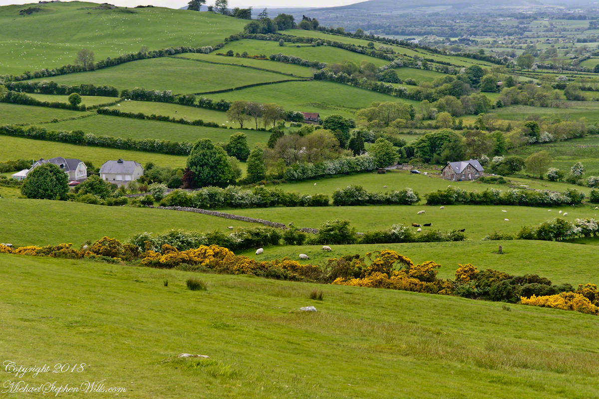
Loughcrew Megalithic Site, County Meath, Ireland. A solitary standing stone below the trail to the Loughcrew site surrounded by whin bush (gorse) and hawthorn hedge rows. A fieldstone fence, farmhouses, a patchwork quilt of fields completes the view.
The Greek name for the Hawthorn species is formed from two words meaning “strength” and “sharp”, referring to the thorny branches.
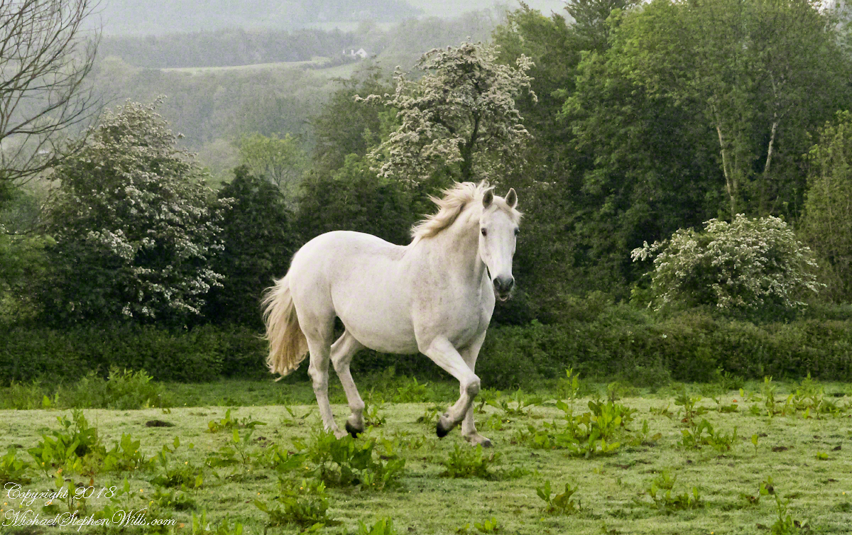
For County Cork we stayed with Marantha House B&B. Our day of arrival, that evening, I visited Charlemagne and fed him an apple, saved from dinner. We learned from our hosts, Olwen and Douglas Venn, he is a retired show horse they rescued. The following morning I visited Charlemagne again with an apple and my camera. As I walked up, starting from the far end of his field, Charlemagne rewarded me with a series of astounding poses, trotting toward me in fine form. The morning mists, hawthorn in bloom, distant hills came together for this memory.
We marveled at the hawthorn hedges in field after field. I first notice them from the World Heritage Site, Newgrange (Brú na Bóinne, “Palace of the Boyne”). Here is one on the Dingle Peninsula, on the other side of the island.
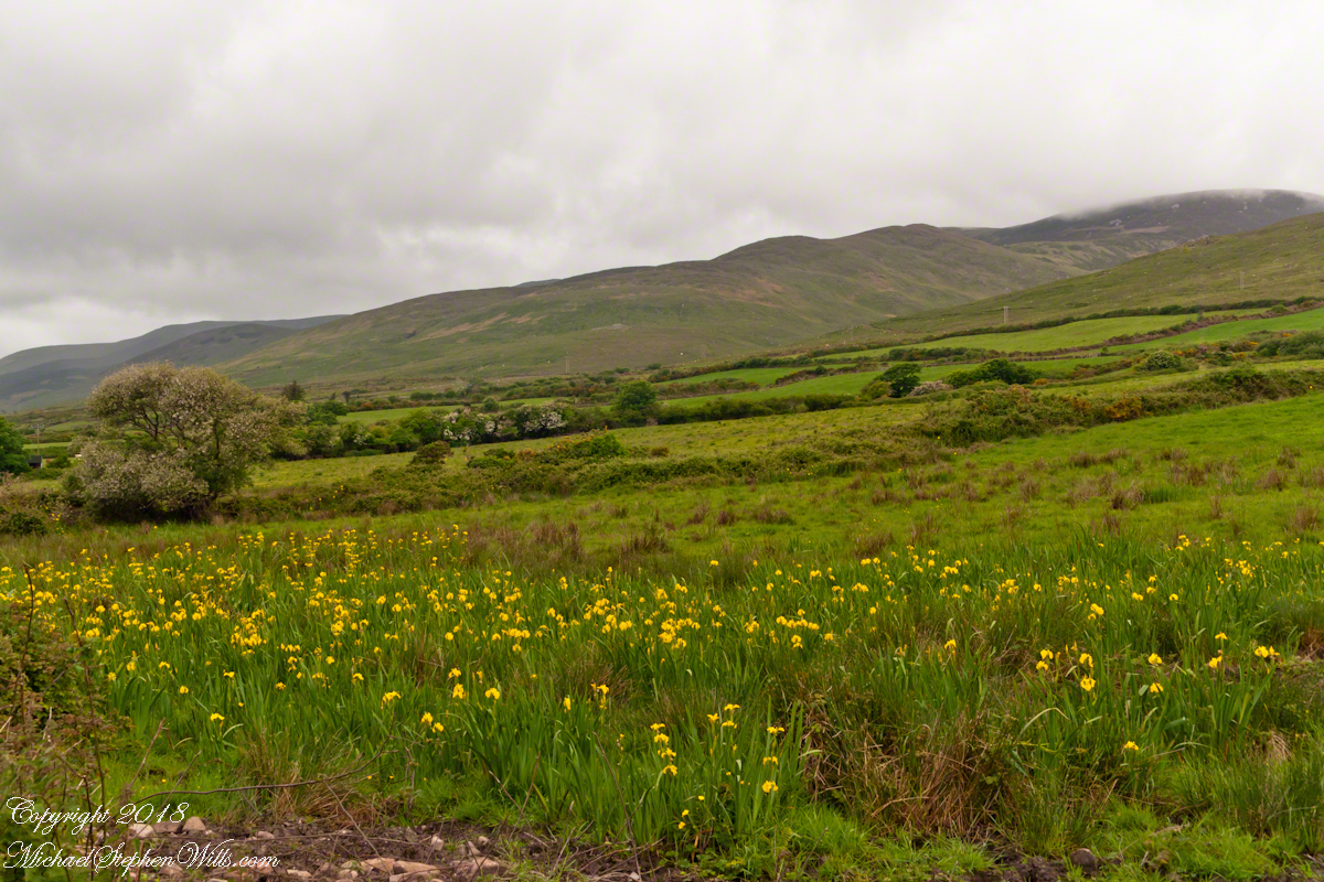
A roadside field of yellow Iris flowers with flowering Hawthorn and Whin Bush in the windbreaks. Looking northwest toward Killeenagh and Caherpierce on the R561 between Lack West and Inch. Dingle Peninsula, County Kerry, Ireland.
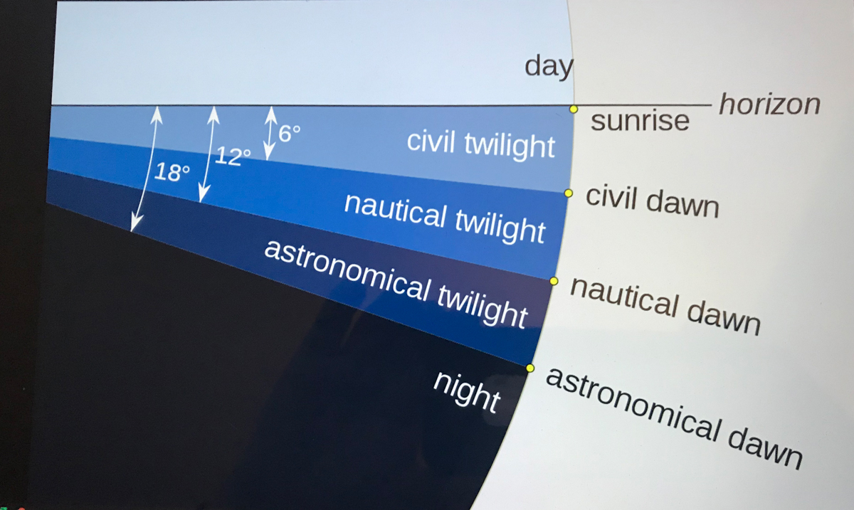
Use your pinky finger to apprehend the sky dome. Imagine yourself at sea, out of sight of land, on a calm day. Keeping your arm extended, place your pinky-tip on the horizon due east, raise your arm directly overhead. The average sized pinky-tip will have spanned 90 of its lengths. The distance measured from the horizon to directly overhead, the zenith, is 90 degrees of sky dome, about one pinky-width per degree, one-fourth of the entire 360 degrees of sky around your spot on the globe.
The apparent width of the sun disk from earth covers 1/2 degree of sky dome. The disk center point moves 15 degrees per hour (360/24 = 15). Using these facts to estimate time to sunset is relatively straightforward. Estimating time to dawn from the sky is more difficult. This graphic, “Twilight-dawn subcategories,” is a way to grasping what happens. Your position on the earth globe affects the experience. For example, at northern latitudes above 60°34′ summer nights never become darker than civil twilight because the sun’s midpoint never drops lower than 6 degrees below the horizon. Civil twilight lasts all night long summer times in parts of Sweden and Finland.
Attribution: “Pmurph5, CC BY-SA 4.0 , via Wikimedia “
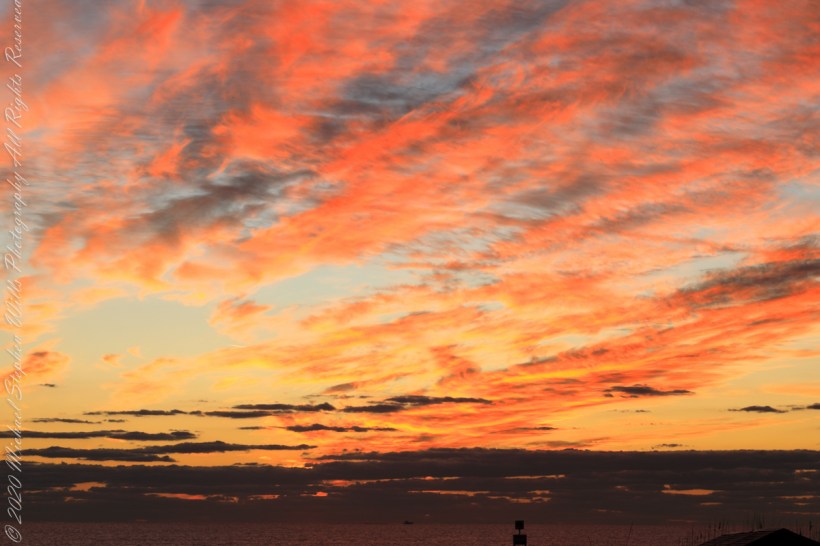
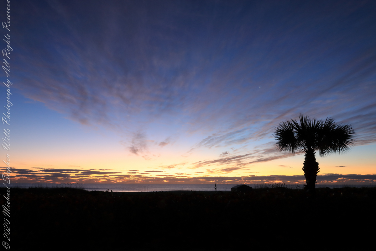
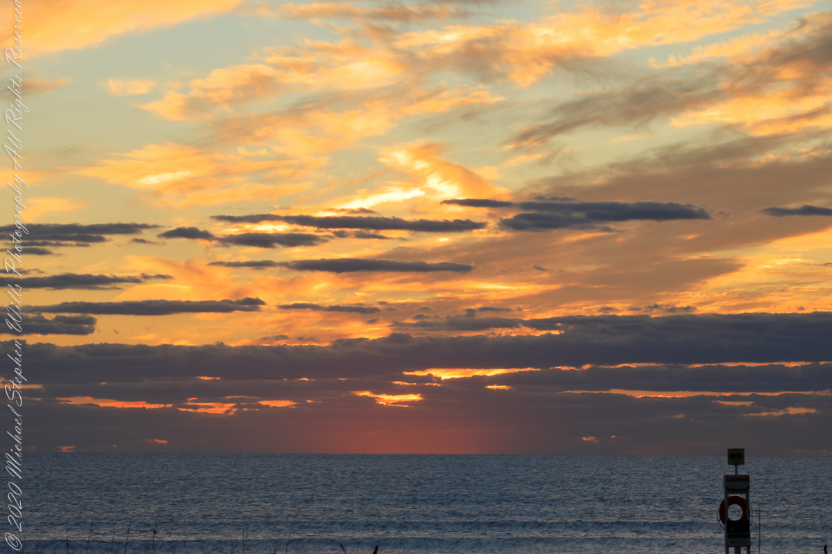
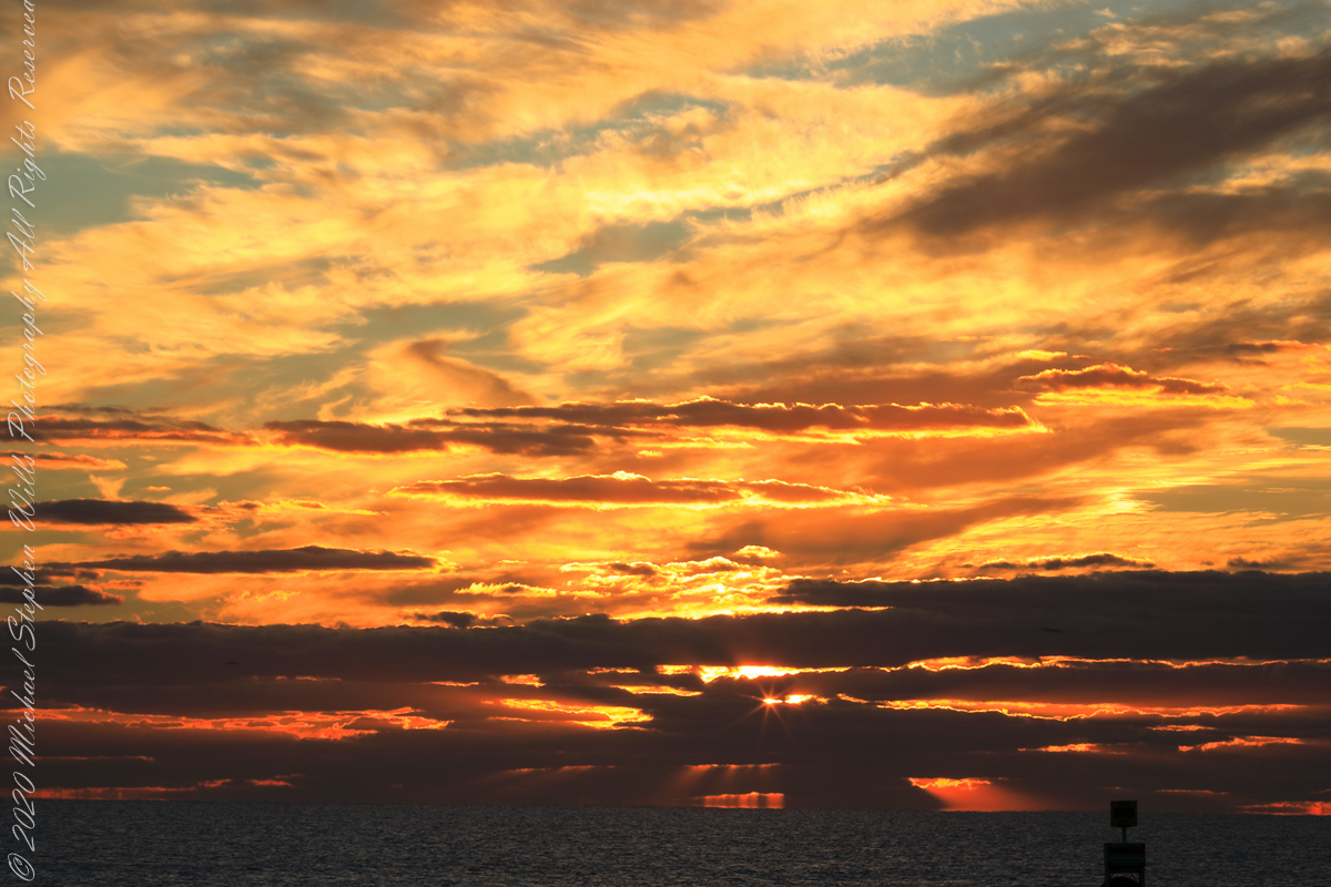
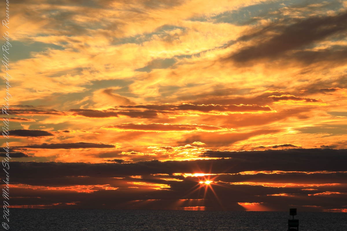
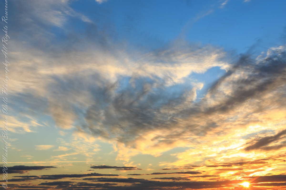
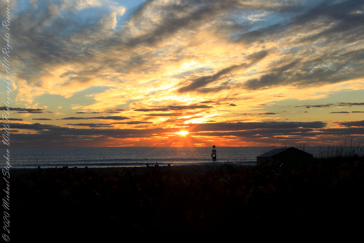
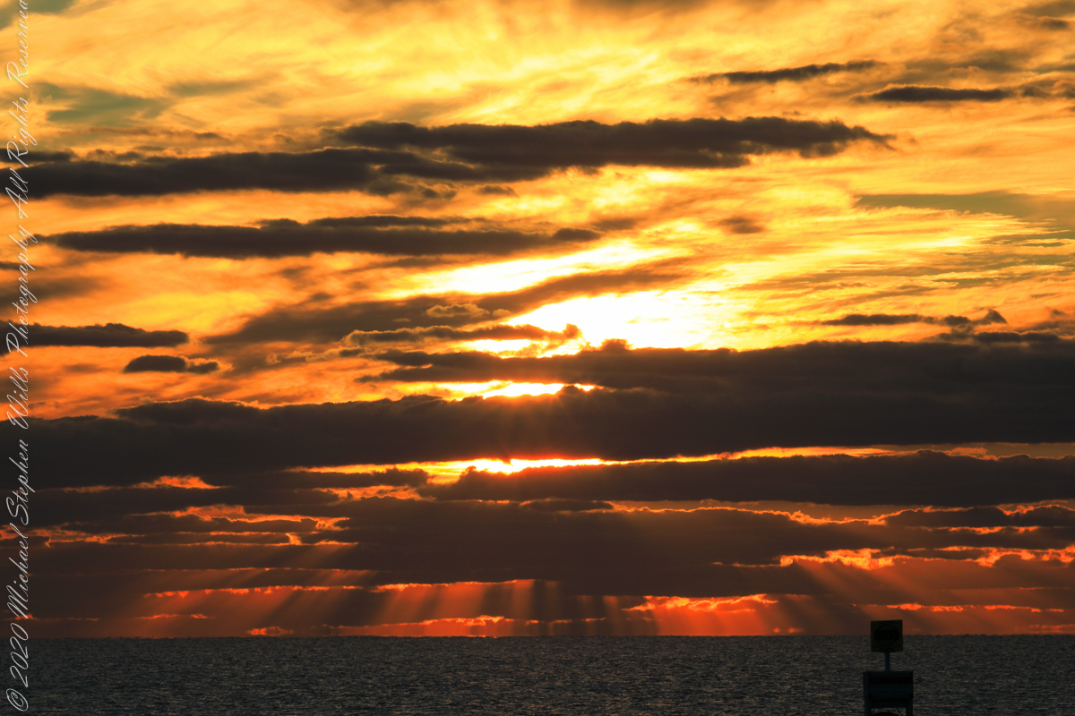
The date-time stamp on the first photograph of this series is 6:46:23 am, Cocoa Beach sunrise for February 1st was 7:09:40, 00:23:17, 23.283 minutes in decimal notation, later. This duration divided by 60 minutes in an hour and multiplied by the sun’s apparent velocity across the sky (15 degrees per hour) and minus the .25 degree between sun’s center and disk edge, gives the sun’s center as 5.57 degrees below the horizon: this is a photograph of the sky a minute or so after the sun passed civil dawn into civil twilight. I am not more exact because this calculation does not account the deviation of the sun path from due east at this latitude, lengthening civil twilight duration by almost a minute.
Edge of Civil Twilight: dark clouds soon to take light
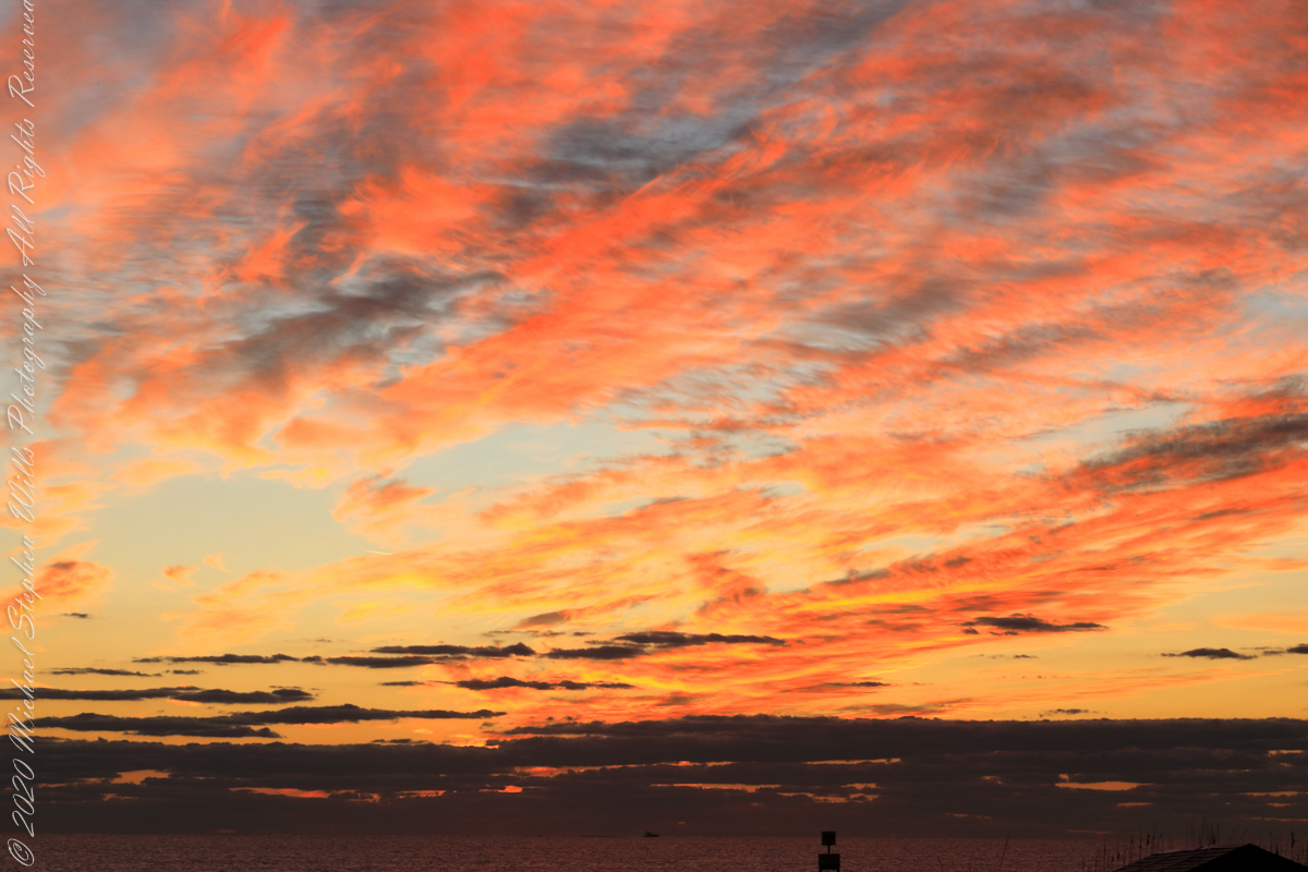
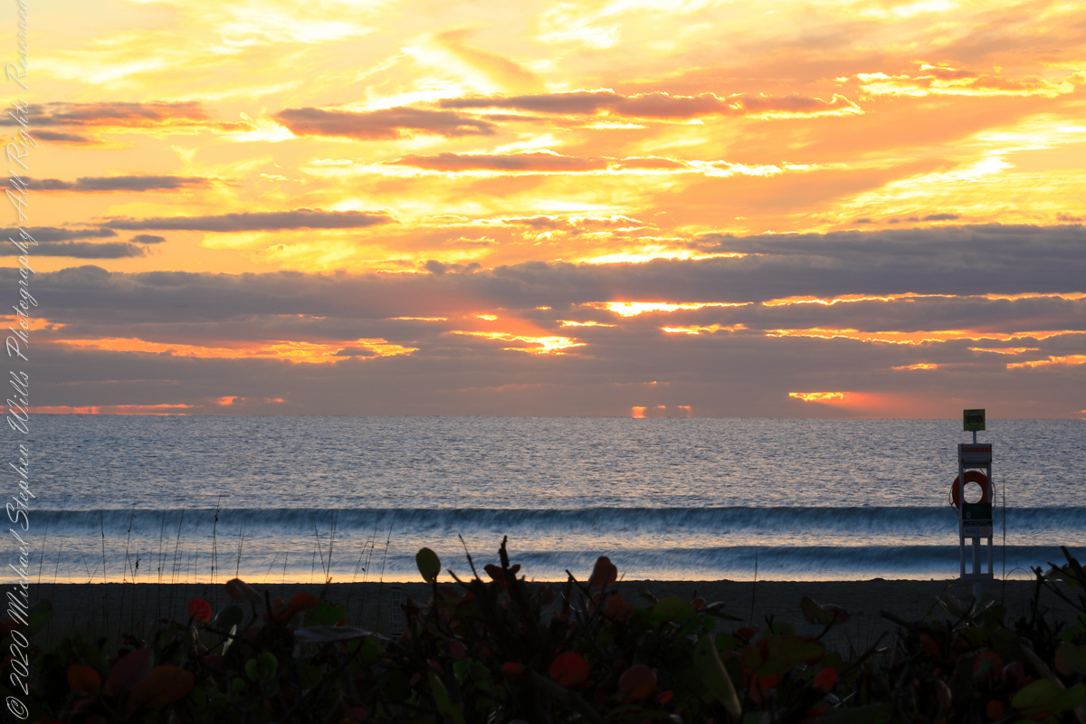
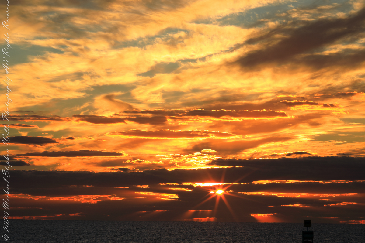
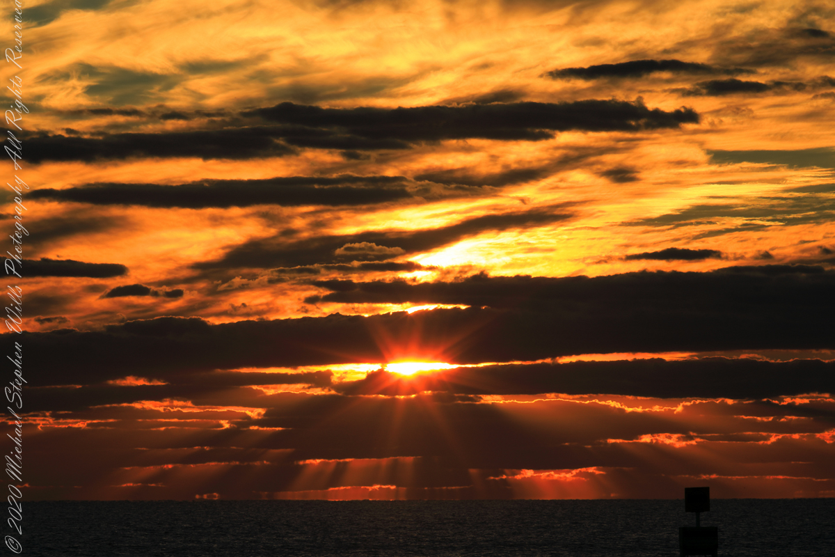
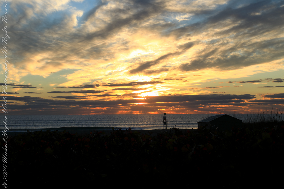
The following photograph is time-stamped 7:05:06, 4.567 minutes until sunrise, sun center is just below the horizon, setting the dark clouds of the previous photograph fleetingly on fire.
Civil Twilight at the edge of sunrise
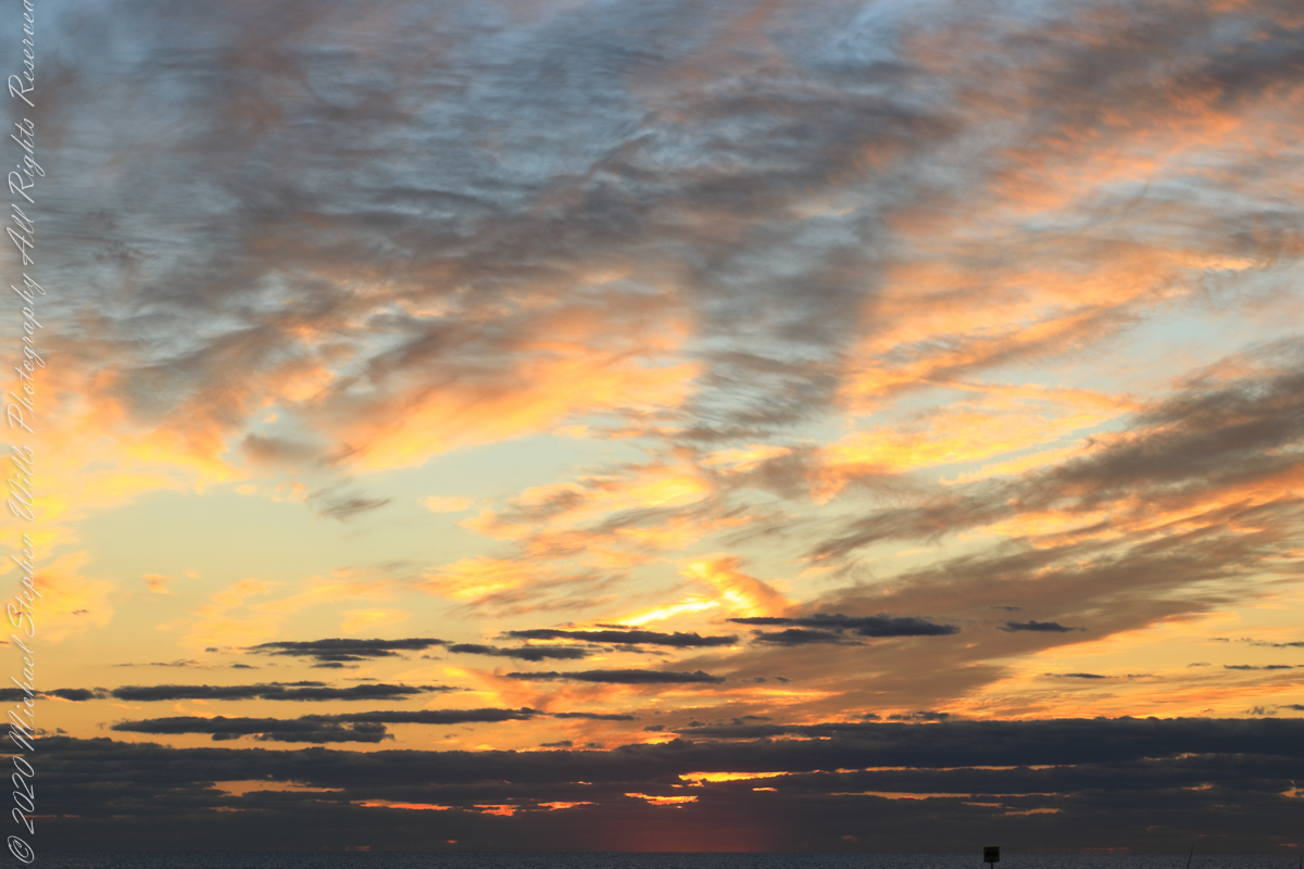
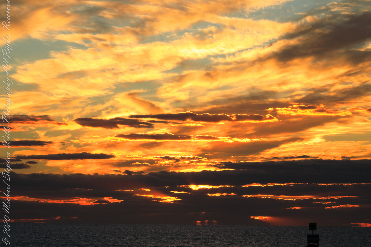
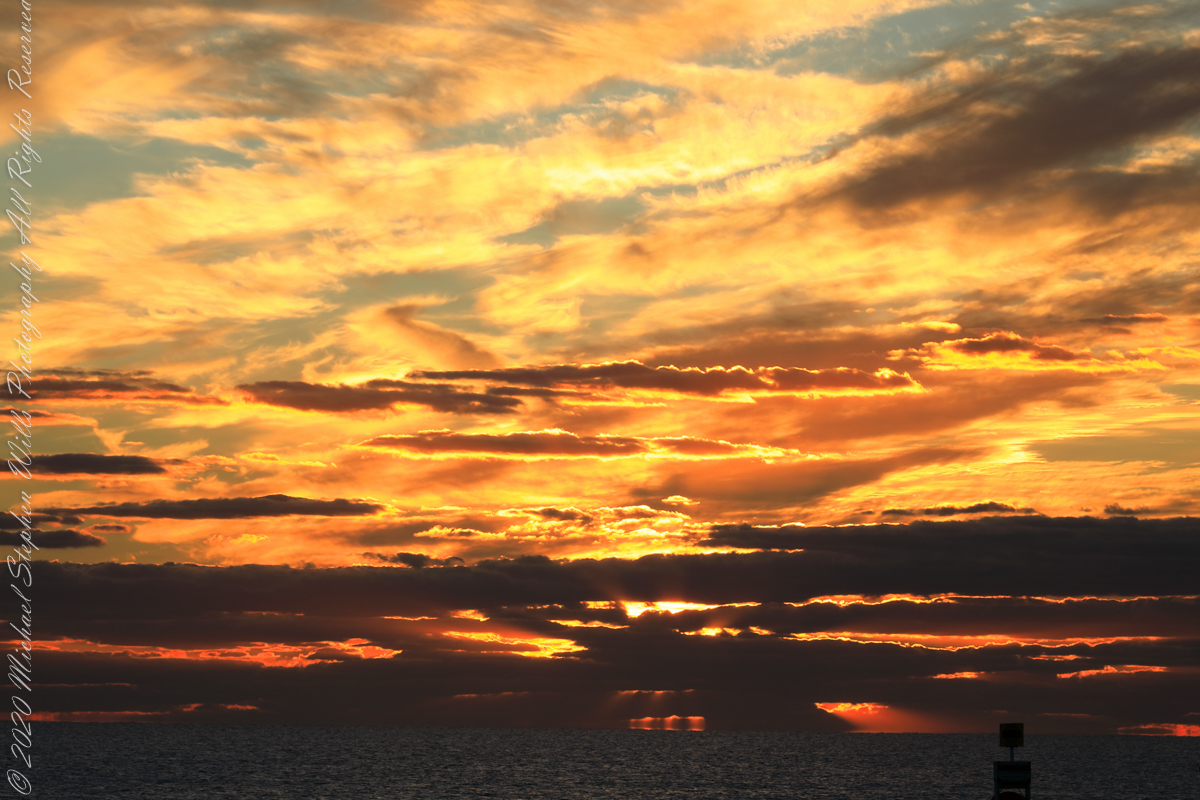
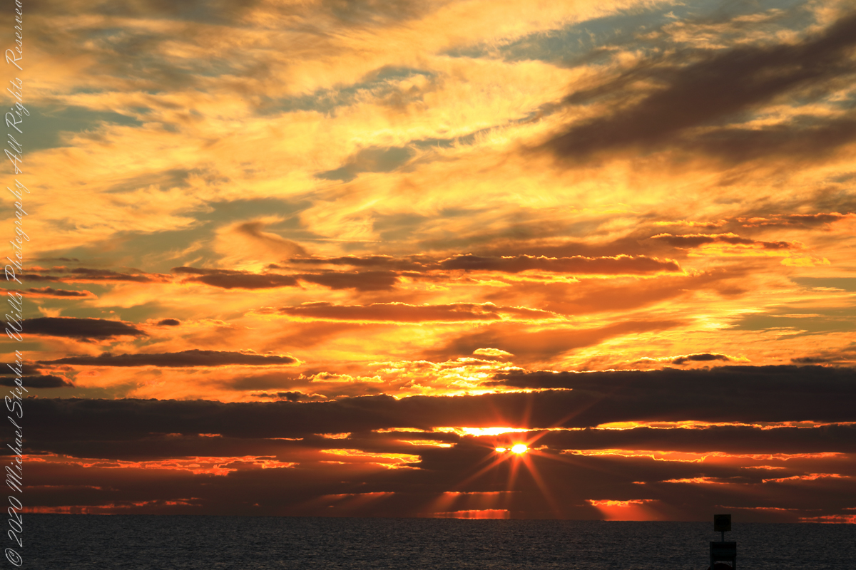
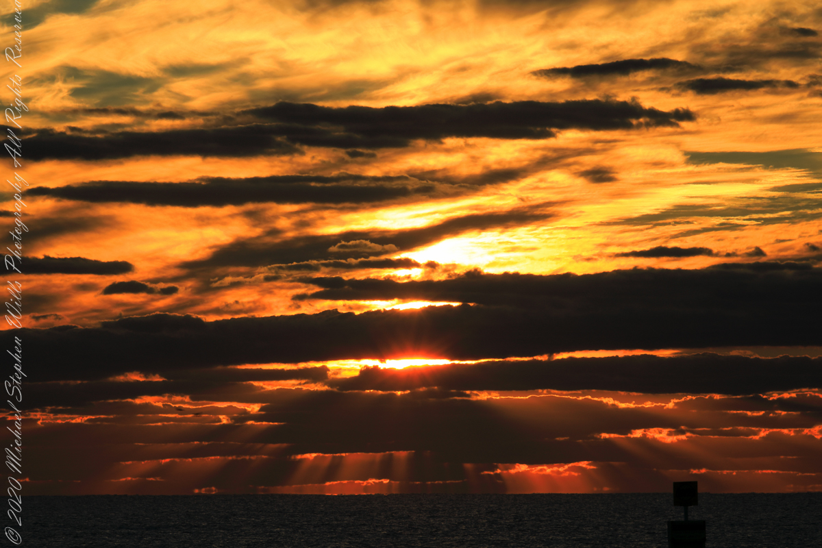
Sunrise has passed in the following photographs, obscured by clouds and making for a great light show. Enjoy!!
References
“Dawn” Wikipedia page, the graphic “Twilight-dawn subcategories,” and the descriptions of subcategories came from this page.
Copyright 2022 Michael Stephen Wills All Rights Reserved
Even on vacation I rise early to better enjoy the day. This year’s escape from the Ithaca winter, at Cocoa Beach, up at 5 am with a beach chair and oranges in hand I walked in darkness from our beach side resort to the tide high point. My time occupied by sky watching I peeled, and ate, oranges while locating stars through the wind blown clouds. When the barely perceptible dawn light began I packed it up to find Pam, who asked to be awake for sunrise.
This day, we ate breakfast from ready to eat food purchased from the Publix market close by on Atlantic Avenue, and caught up with the news craziness. We had a day at the Kennedy Space Center planned after the sunrise walk.
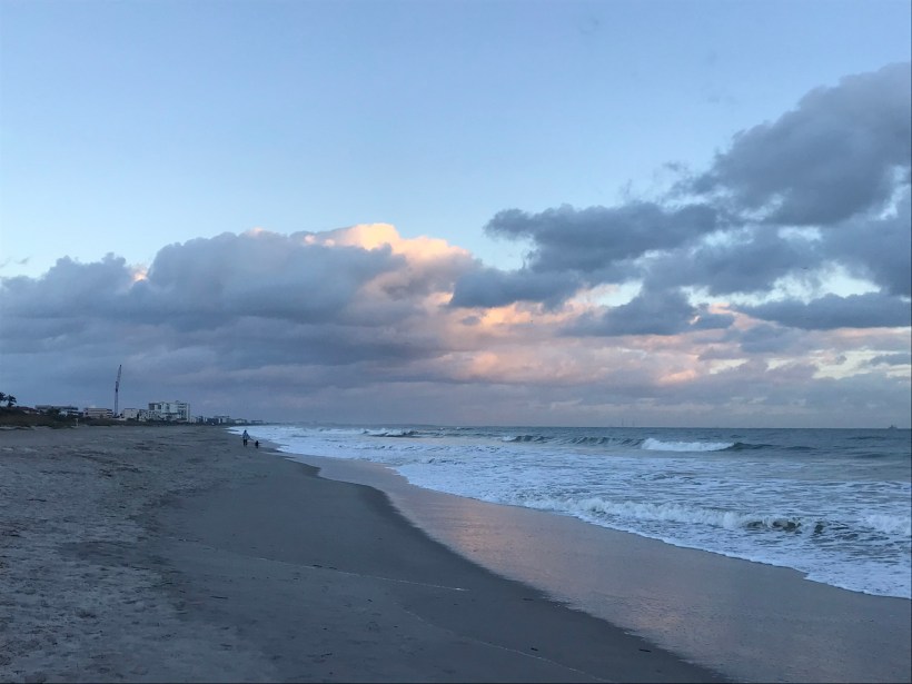
Here is our view while walking north along the tide line. In the far far distance are the Kennedy Space Center Vehicle Assembly building and a space launch gantry. Follow the shoreline to find the pier.
We walked nowhere near the pier, barely visible, not to mention Sam Shepard park. The pier and park are a day’s walk. We had a few hours free before our “Lunch with an Astronaut” event at Kennedy Space Center.
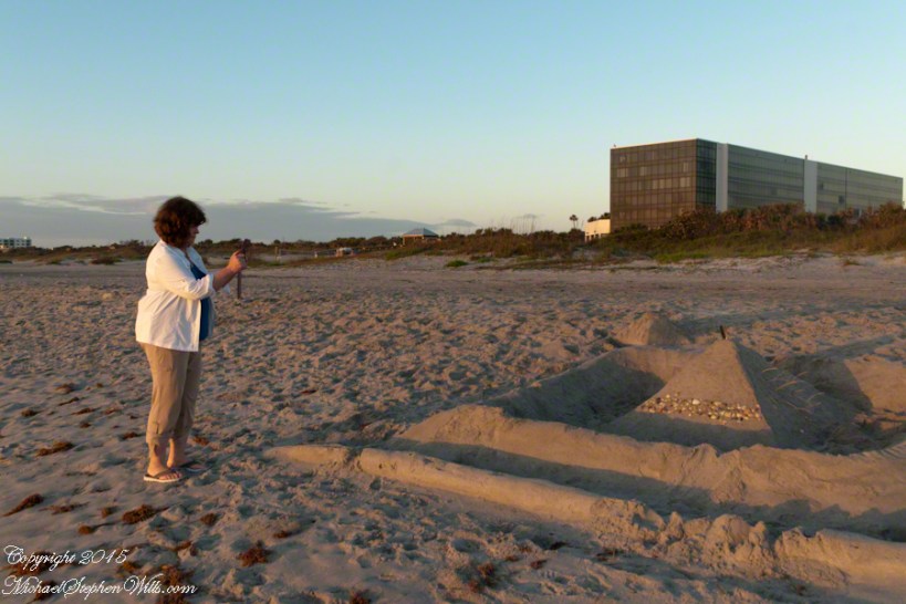
The highlight of this sunrise walk was this large sandcastle on the beach in front of a condominium, the Hilton is to the left. Lori Wilson Park is out of sight to the left. A great feature of the park, for us since the International Palms were we stayed is next to it to the north, was the park life guards.
So, we approached this sandcastle from the north. It survived the high tide to a new day, obviously it required time and resources to build. The day before was a big beach day. Wednesday was a brilliant, summer-like day for the first of March.
A little closer, the footsteps inside the first moat are interesting.
Pam next to the castle provides scale
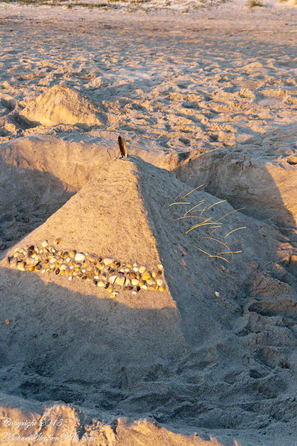
Here is the central pyramid. I enjoy the dawn light on the grasses. That is a sea gull feather on the apex.
Decorative sea shell band facing the ocean.
The destiny of all our human conceits. Impermanence is part of the beauty of sand castles.
Pam and I were drawn outside the day after Valentine’s a bit of sun, an unreliable warm breeze, a promise of exercise. Our expectations were disappointed for all but the last at the foot of the Taughannock Falls gorge trail.
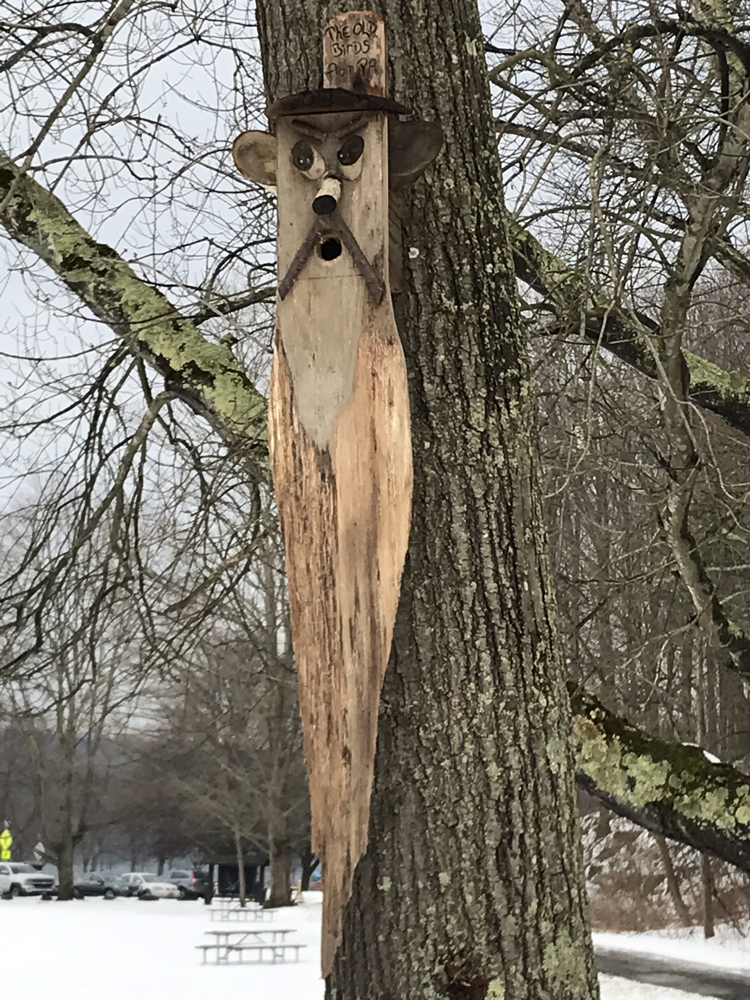
We had a reminder mid-February marks the start of avian mating behavior with this addition to the view from Taughannock Creek, the first large waterfall. For the cold, drizzly excursion I chose the IPhone, in a waterproof case, for the images. The fanicful birdhouse inscription reads “The Old Birds from Pa.”
Click the photograph for my “Finger Lakes Memories” Online gallery.
The winding gorge takes a general east, southeasterly direction. Where the sun cannot reach the snow was reduced to a treacherous slushy ice mix more nasty than dangerous.
View from the Overlook on the way to the trail. This is the endpoint of our hike, viewed from the gorge rim.
Of all the area hiking experiences, Taughannock Gorge Trail is the only one available year round. The gorge is wide with enough room for the footpath to avoid the cliff edge. Today, there were places were ice formations were throwing large ice chunks down the slope. The park ranges place tree trunks along the cliff base, with warning signs to stay away. Still, there are visitors who stray too close with fatal outcomes reported by local news.
Pam was fascinated by the appearance of snow and ice accumulated on the talus, here seen from the Taughannock Falls viewing bridge.
Click photograph for my “Finger Lakes Memories” online gallery. Photo by Pam.
You can just pick out the viewing bridge in the Falls Overlook video.
Click photograph for my “Finger Lakes Memories” Online Gallery. Photo by Pam.
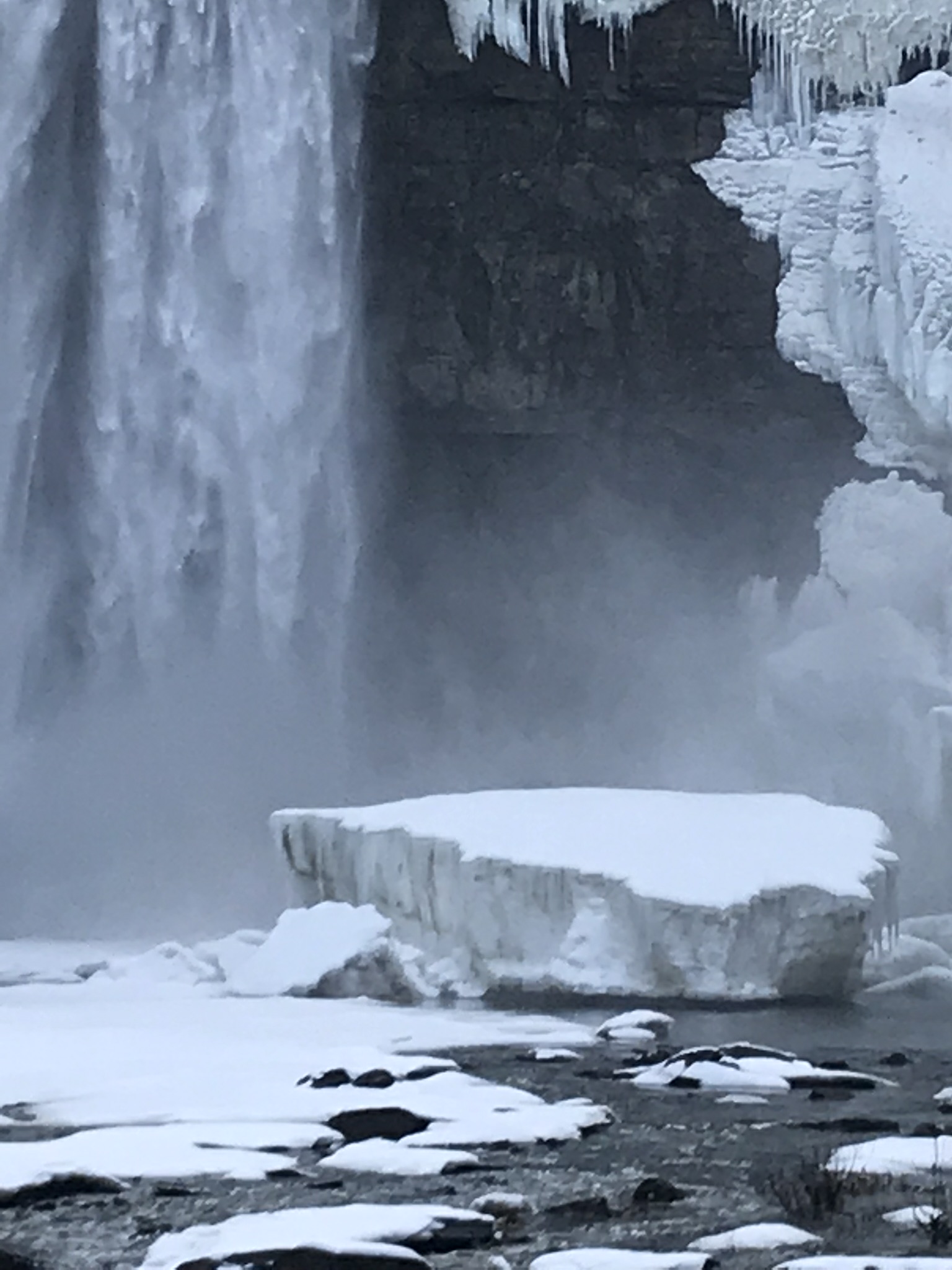
Taughannock Falls bound by ice is a most dramatic sight. I need to post photographs from a 2005 visit during an especially frigid February. Here, the falls have thrown off the ice, leaving this house-size chunk.
Click photograph for my “Finger Lakes Memories” Online Gallery
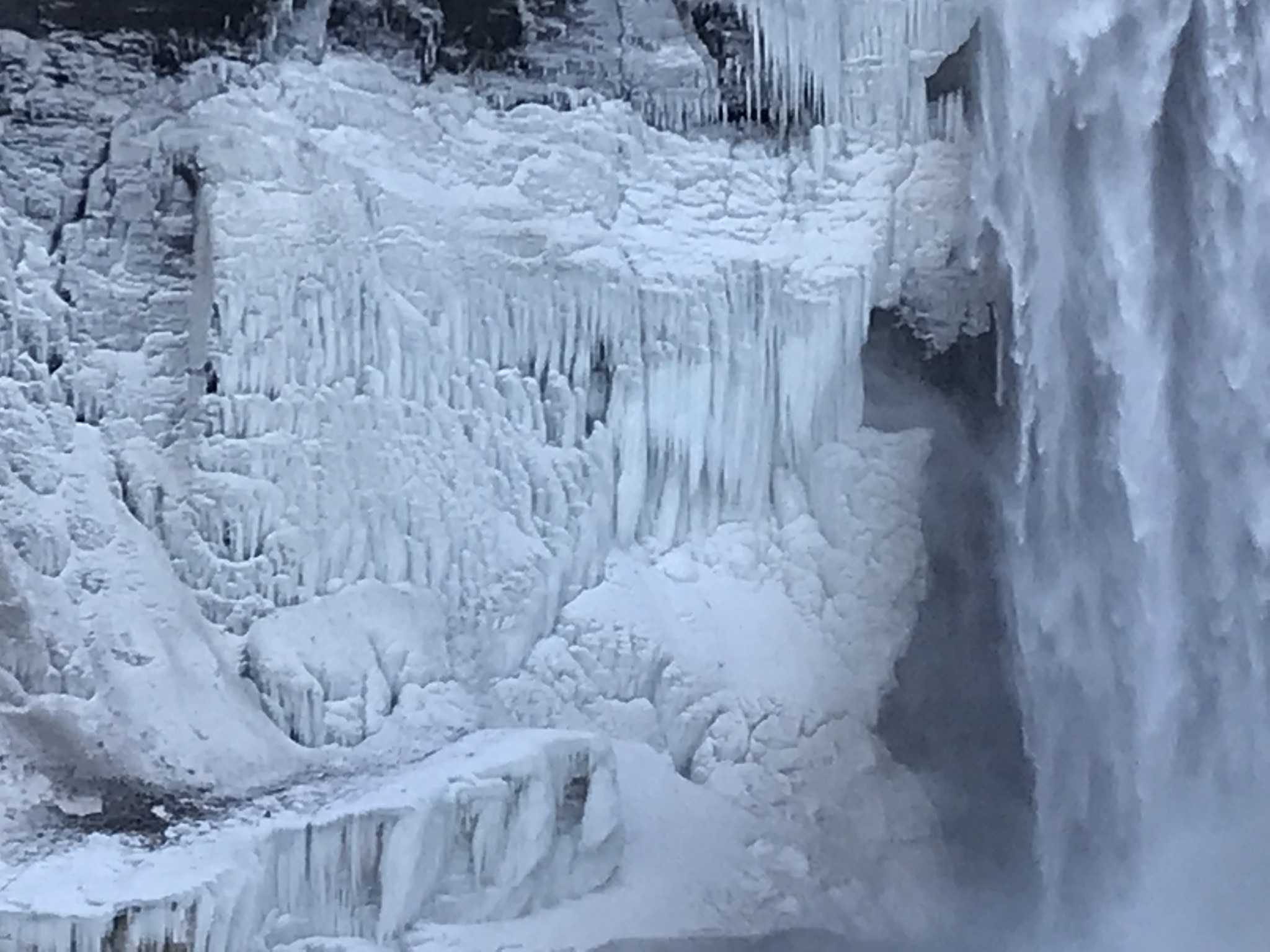
The surrounding gorge walls are continually frost coated by the mist.
Click the photograph for my “Finger Lakes Memories” Online Gallery
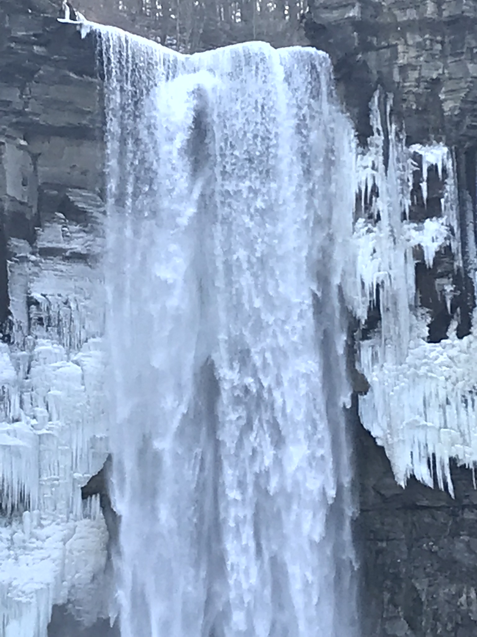
210 foot Taughannock Falls from the viewing bridge.
In more clement seasons the Gorge Trail ends much closer to the falls. Today, it was closed as, during winter and especially thaws, blocks of the sandstone cap break away to fall with great force across that part of the trail. This viewing area is visible in the Falls Overlook video.
Copyright 2019 All Rights Reserved Michael Stephen Wills