Wiki Loves Monuments 2017 is a contest that closed September 30, 2017.
Click for Wiki Loves Monuments 2017 contest
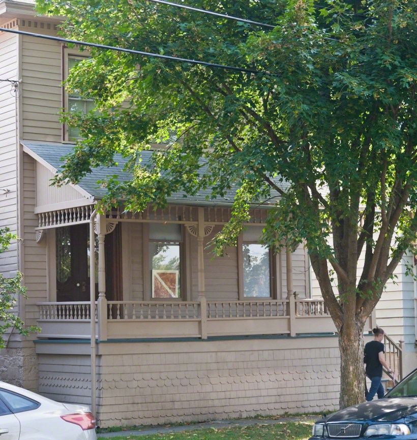
The National Register of Historic Place # 16000590, the Dennis-Newton House of Ithaca, New York is a recent listing, dated September 6, 2016. In researching potential for the Wiki contest, I discovered this place was absent a photograph. Seizing the opportunity, I grabbed these photographs the same session as the suppressed Ithaca Pottery Site, published in my blog in April.
The location was a revelation, around the corner and a few blocks down from our son and daughter-in-law’s house where they are raising three (of our 12) grandchildren, across the street from where the children take swim lessons. Parking in downtown Ithaca is incredibly coveted and I was not motivated to shoot during the golden hour where cars would, maybe, not be parked out front and the light perfect for the west-facing façade.
Click this link for my On Line gallery, “Finger Lakes Memories.”
Above is the street frontage of 421 N. Albany Street, Ithaca, New York, a home privately owned. The house is as originally constructed and considered the birthplace of Cornell’s Alpha Phi Alpha, the first Greek letter, African-American collegiate fraternity established from this location in 1907.
Named for the original owner, Norman Dennis who built it around 1870 and a later owner, Edward Newton, who is directly connected with the early years of Alpha Phi Alpha; the house was recently renovated with a building permit still posted in the porch window, partially obstructed by glare.
The frontage view is partially obstructed by a Black Maple (Acer nigrum) and provides shade from the afternoon sun.
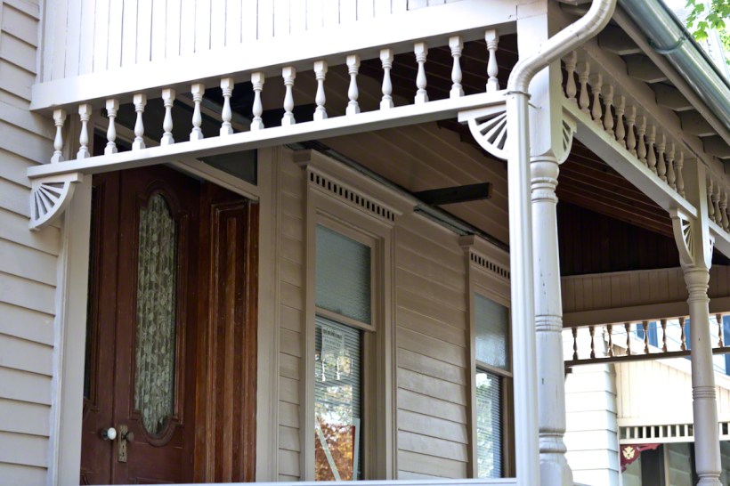
To compensate for the time of day, the tree and parked cars I captured interesting details of the front porch. The time was day was perfect for photographing these and, in the golden hour, will be unevenly illuminated. Note the elegant door glass panels, solid wood door and trim with original porcelain and metal door knobs and lock. Porch trim includes decorative brackets, spandrels, posts.
Click this link for my On Line gallery, “Finger Lakes Memories.”
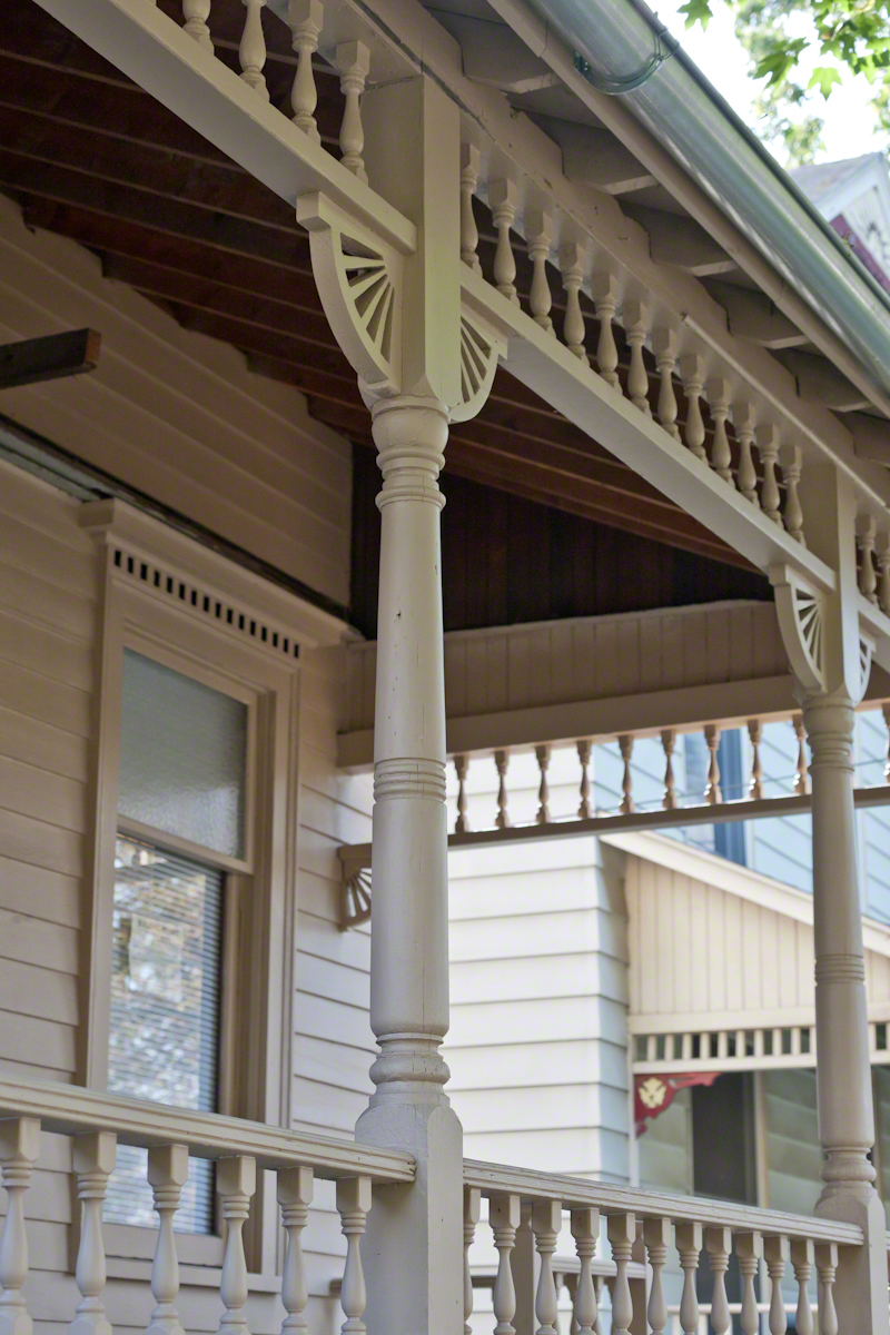
Here is a different angle on the porch trim to include the porch’s fancy balusters and rails. The decorative head on the window is wonderful. The private owner recently renovated the property, there is a building permit still posted in the window.
Much of the information for this blog came from this web page.
In preparation for shooting, I mounted the Canon EF 70-300mm f/4-5.6L IS USM lens on the Canon EOS-1Ds Mark II body. The frontage and second porch shots were at 70mm, 1/200 second, ISO 1,000, f/7.1. The middle shot, of the door, was 1/250 second at f/5.0.
Copyright 2021 Michael Stephen Wills All Rights Reserved

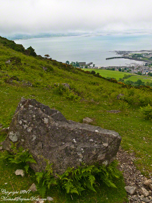


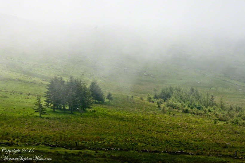

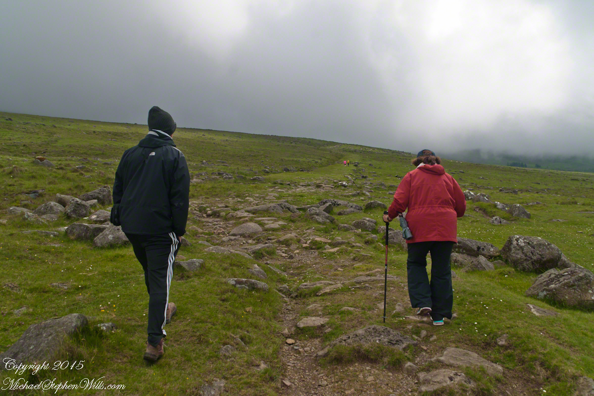
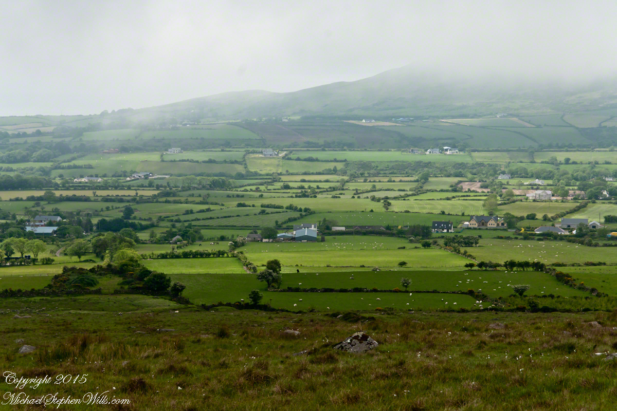
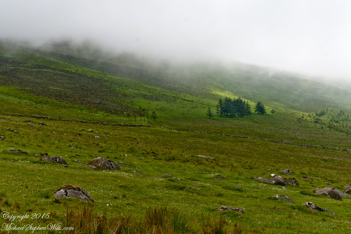
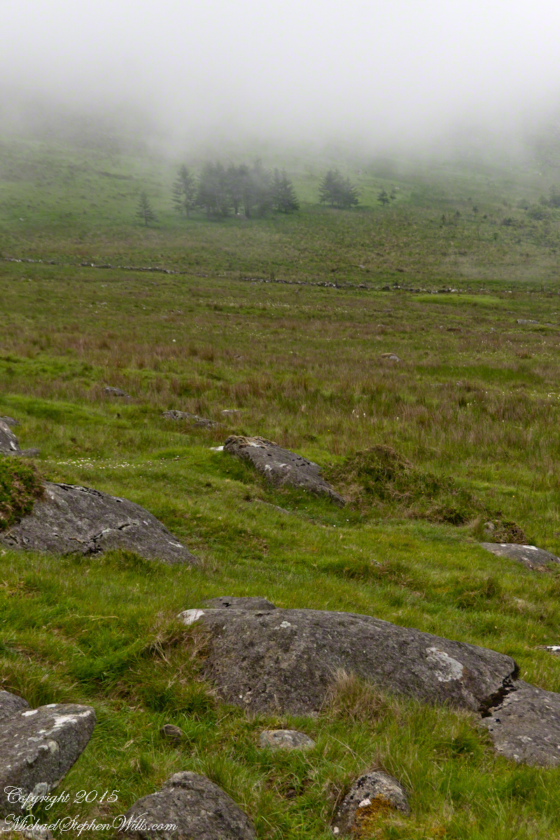
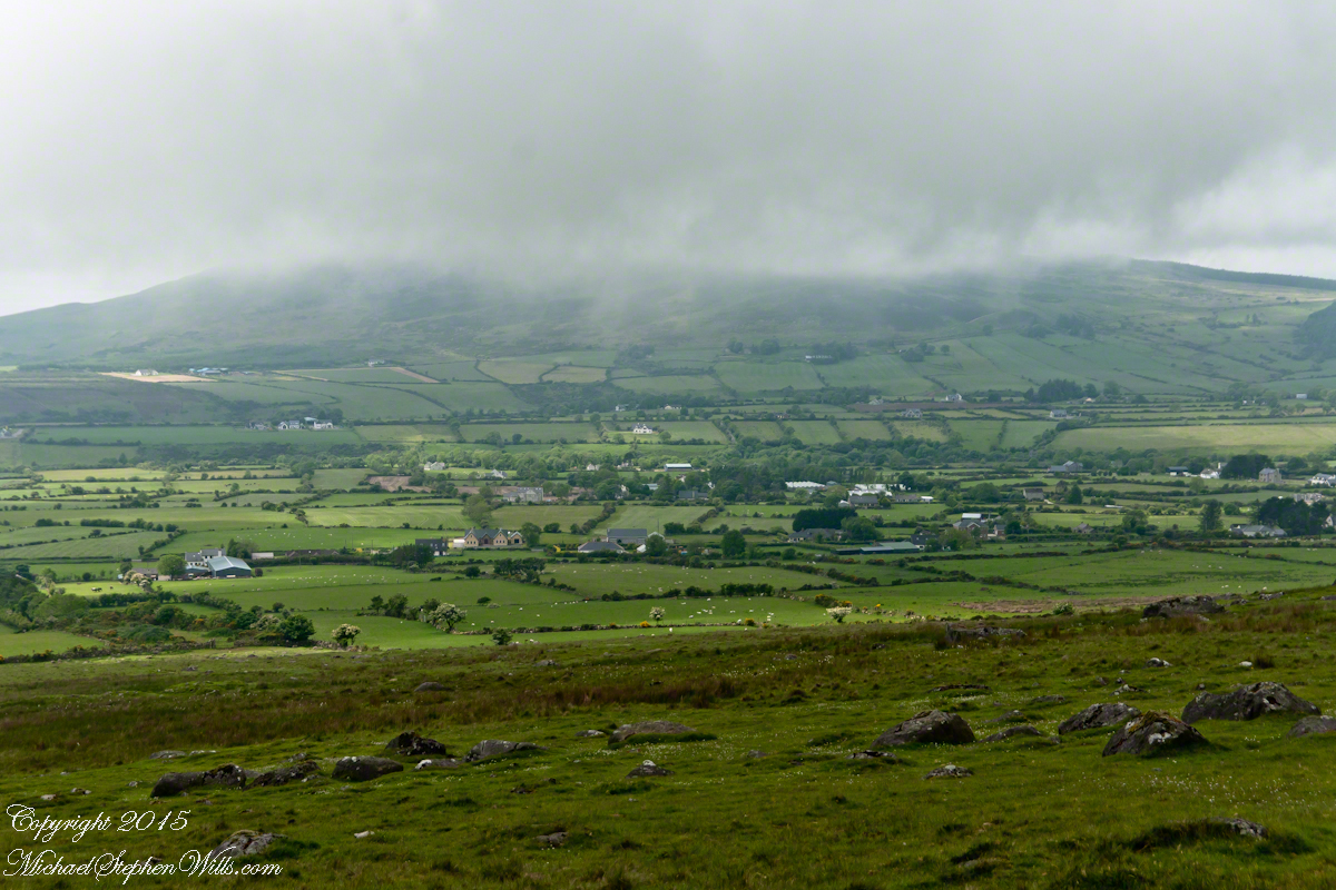
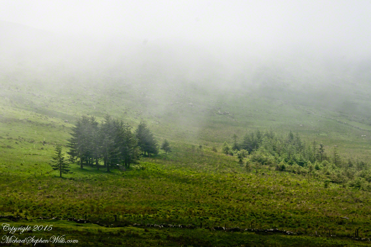
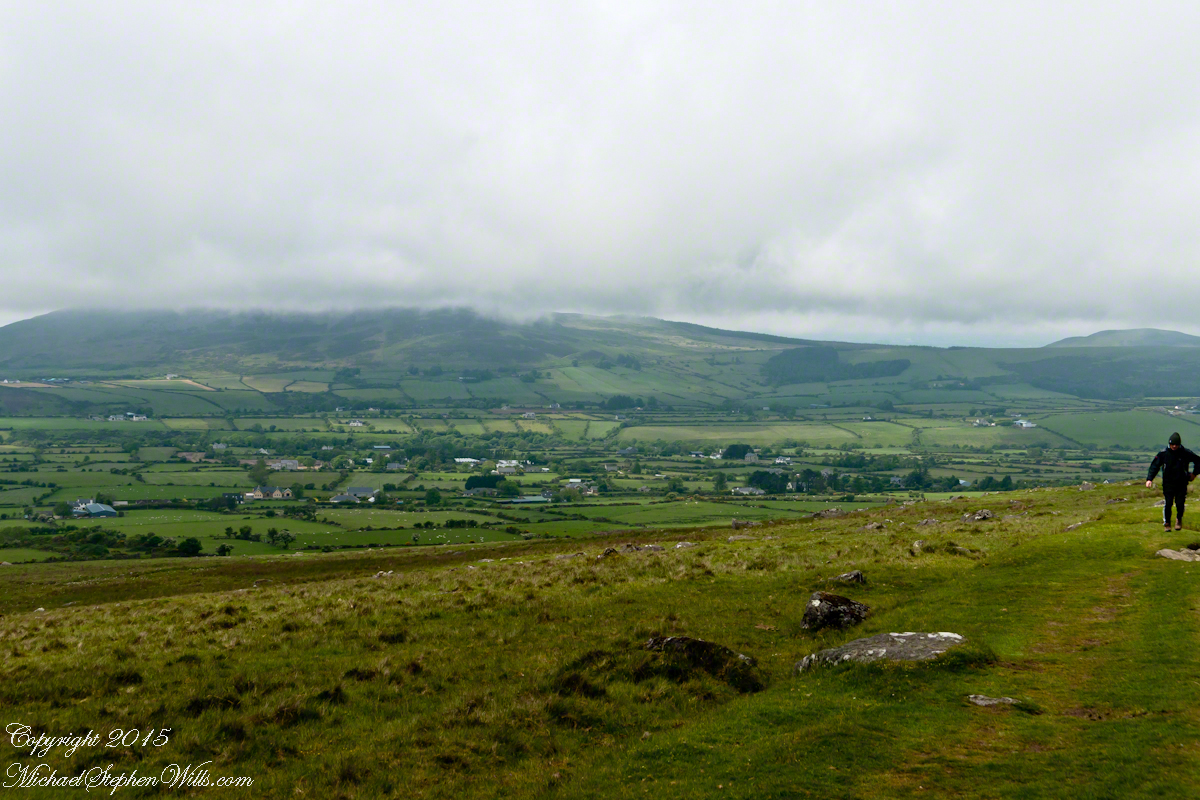

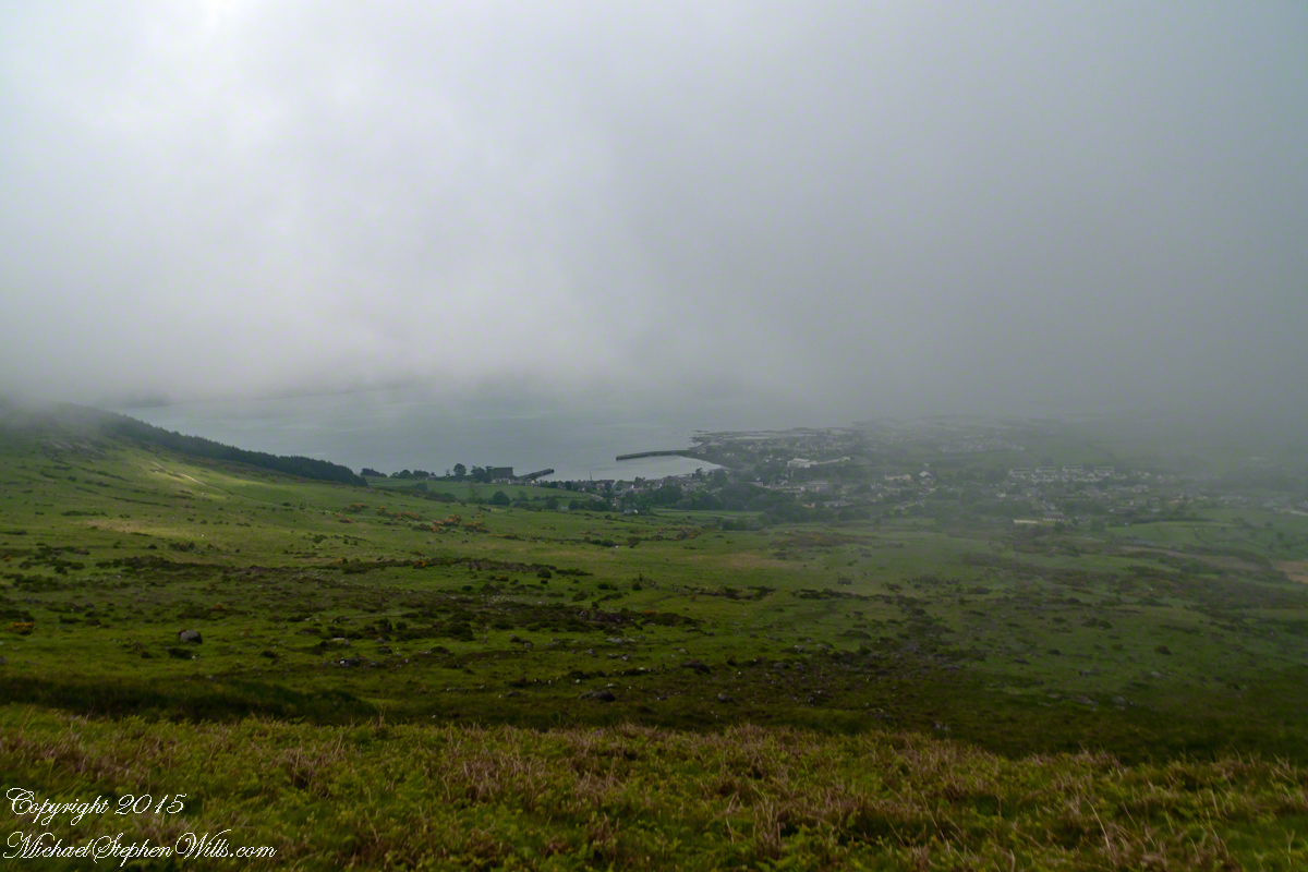

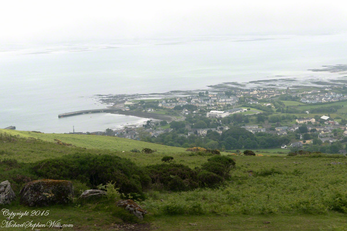
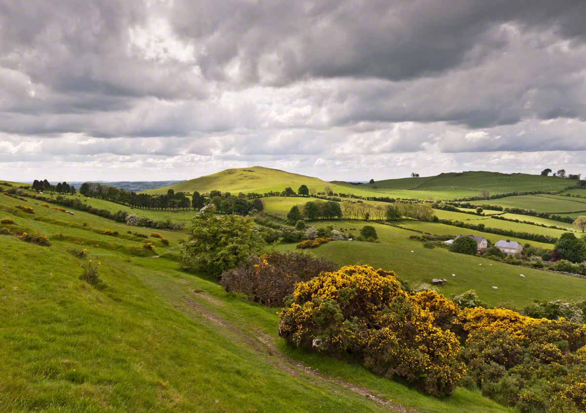


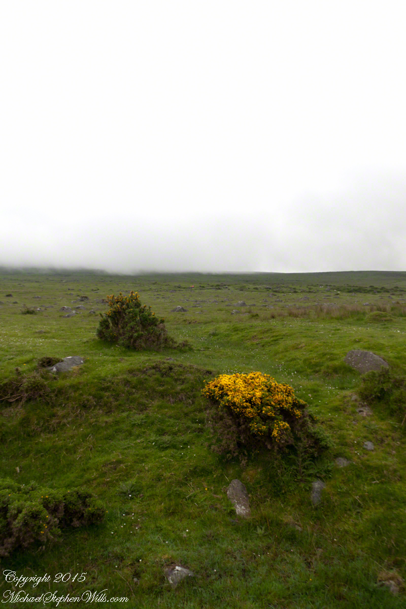
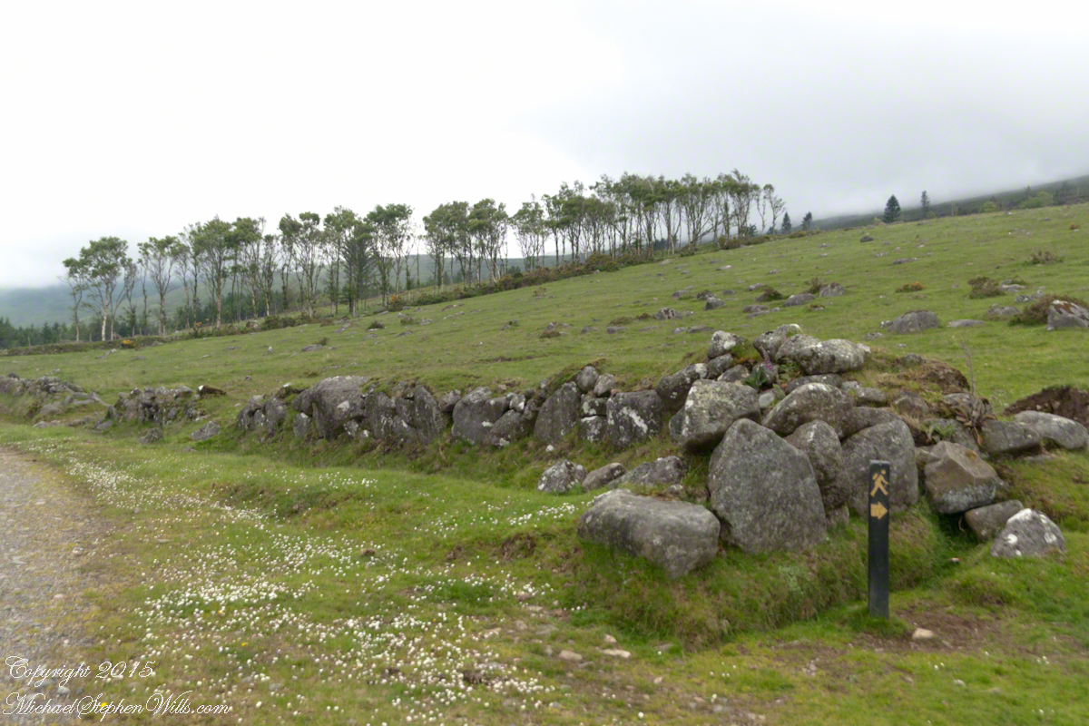

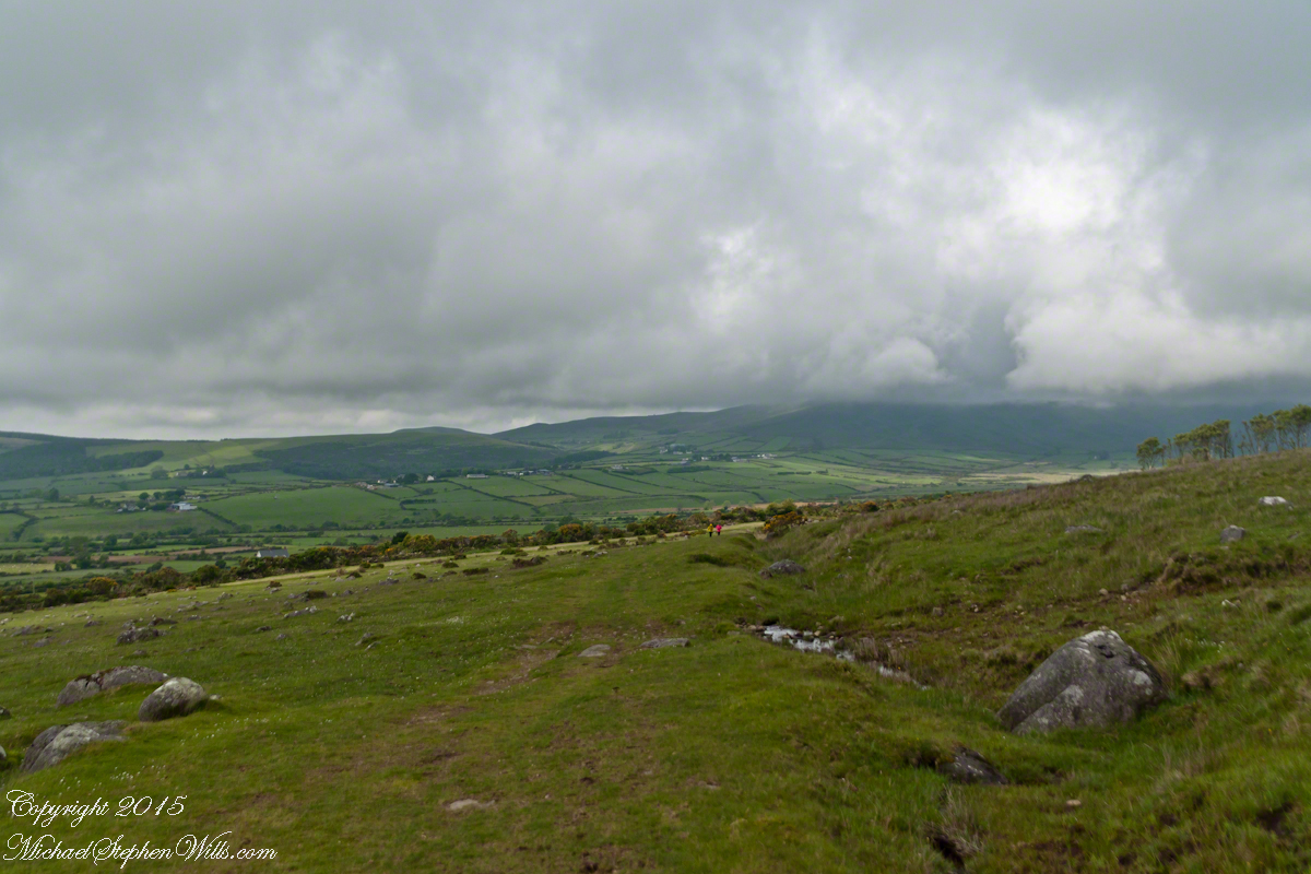


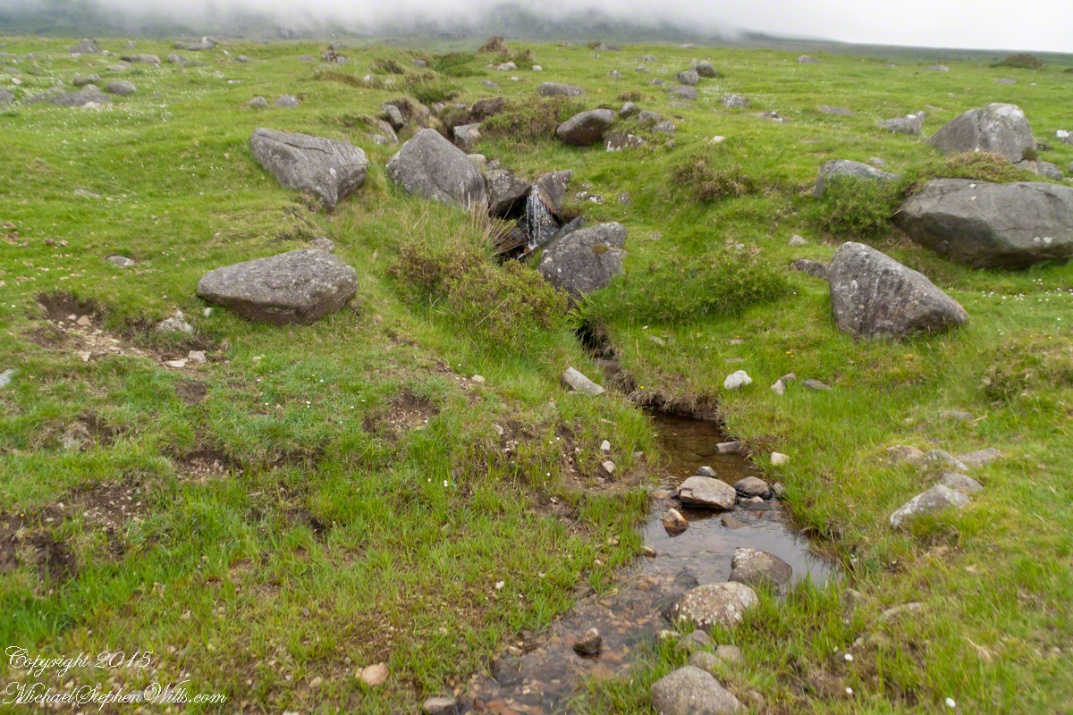
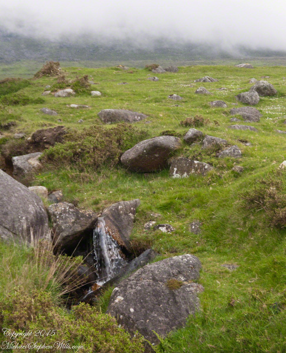
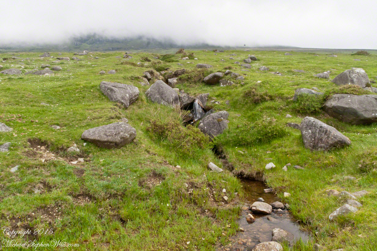
 The lower slopes hold many small stream among granite stones.
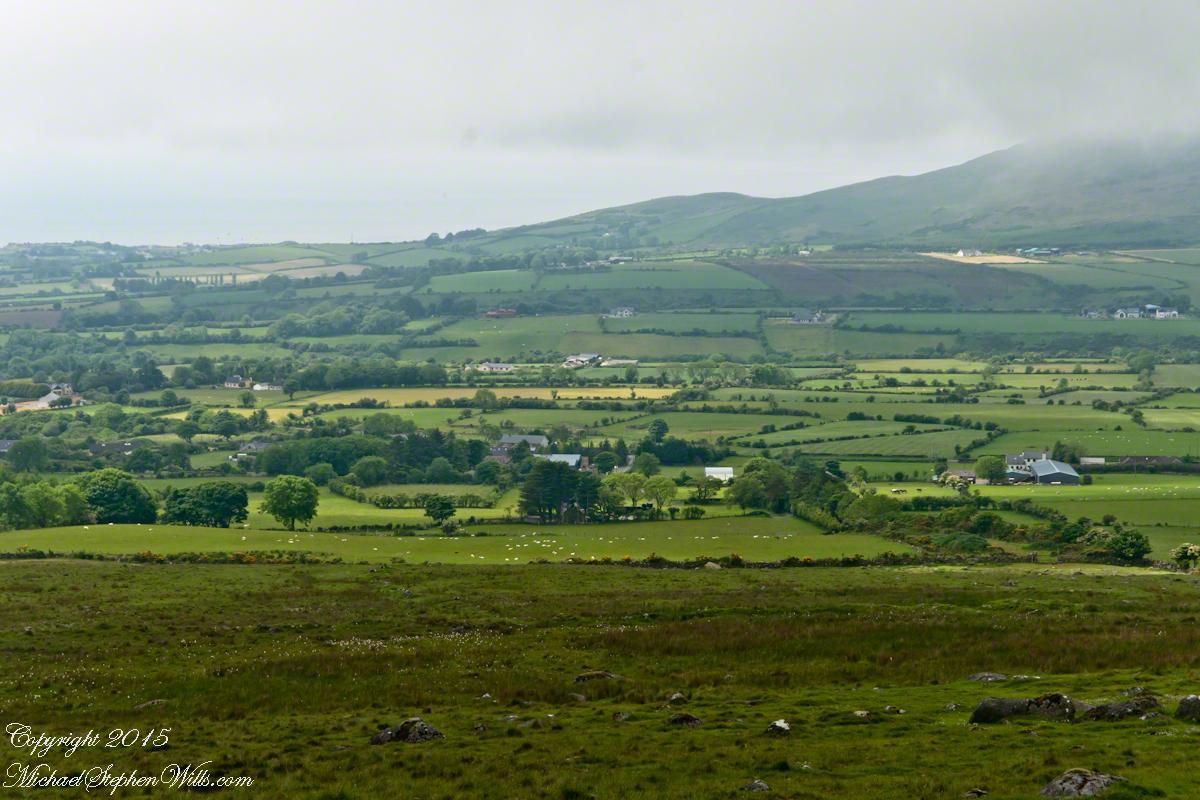
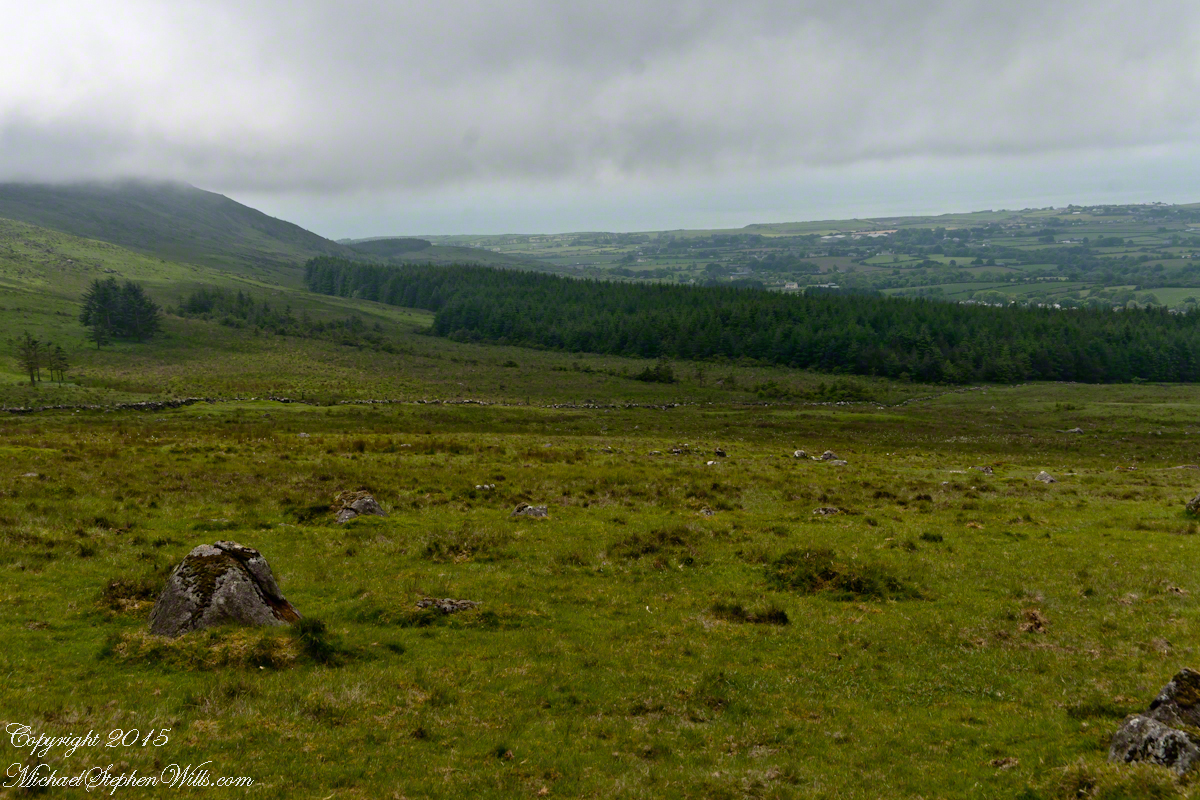
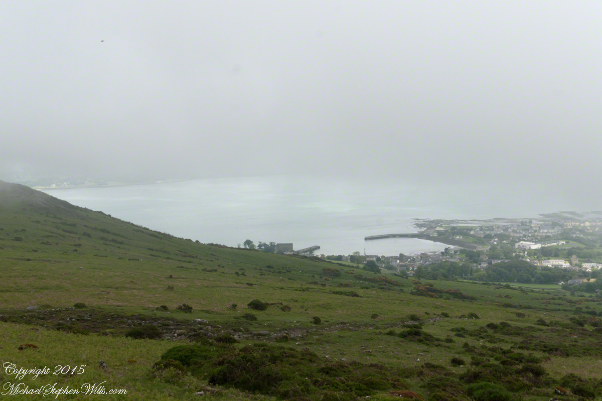
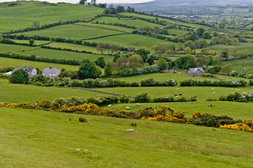
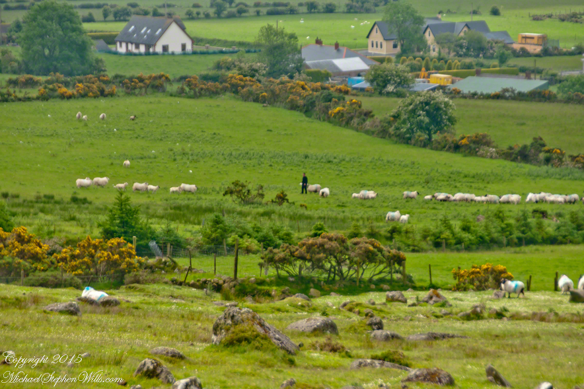