Winter 2020 I posted “Winter People Watching” featuring the Sony F828 and candid street photography.
What I love about this place, a unique feature, is the size and different vantage points making it possible to view the same place from different angles. November 2019, readers were shown “The Bend,” a place with Taughannock gorge makes a 90 degree turn, changing from a southeastern to an eastern flow. Here are photographs from spot overlooked by that post.
Here the camera faces away from the sun, the graduated neutral density filter allowing me to capture the cloudless blue sky, a little milky the way it is here February with a hint of spring.
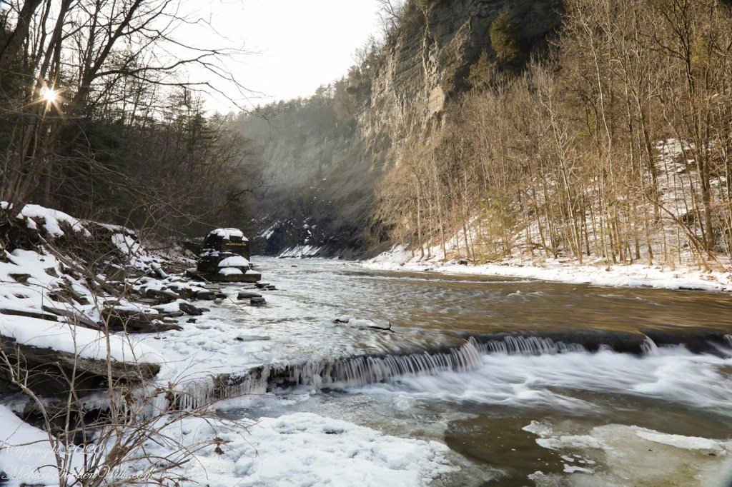
The gorge makes a 90 degree turn, changing from a southeastern to an eastern flow. Here is am in the creek bed facing east.
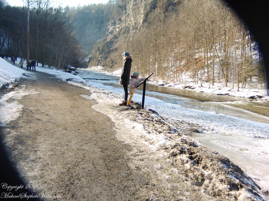
This little one is studying the information placard with rapt attention, learning how the African continent, pushing against North America, across the eaons, formed the right angle fractures mirrored by this dramatic change in Taughannock Gorge. For the Big Bend photographs I was standing behind them, along the stream bed.
Here is a broader slice of that sky.
The gorge makes a 90 degree turn, changing from a southeastern to an eastern flow. Here is am in the creek bed facing east.
Can you see the tiny figures of hikers, dwarfed by the frozen cliff?
The gorge makes a 90 degree turn, changing from a southeastern to an eastern flow. Here is am in the creek bed facing east.
Copyright 2023 All Rights Reserved Michael Stephen Wills
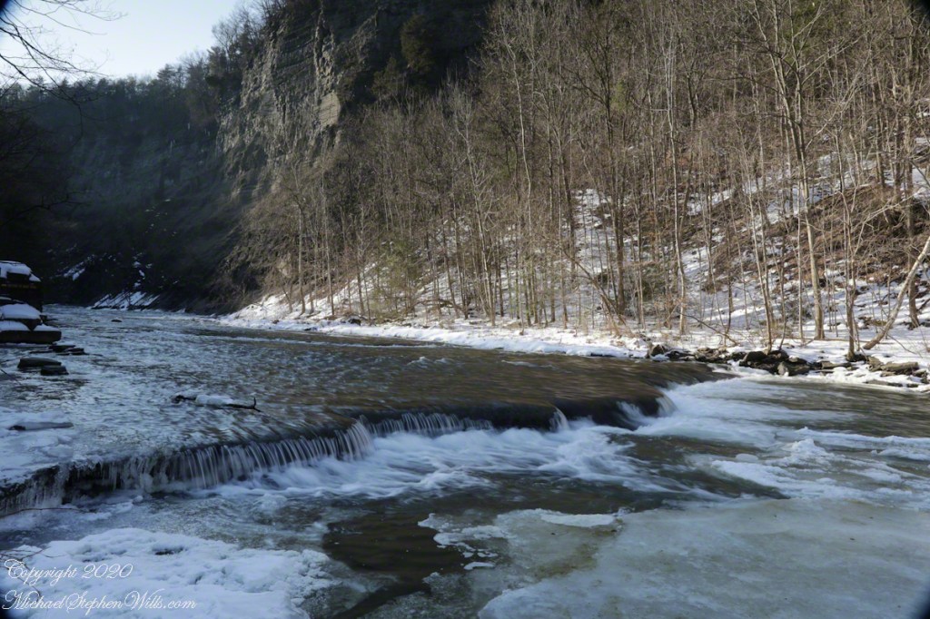
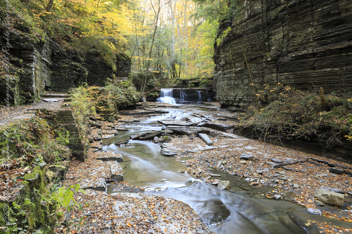
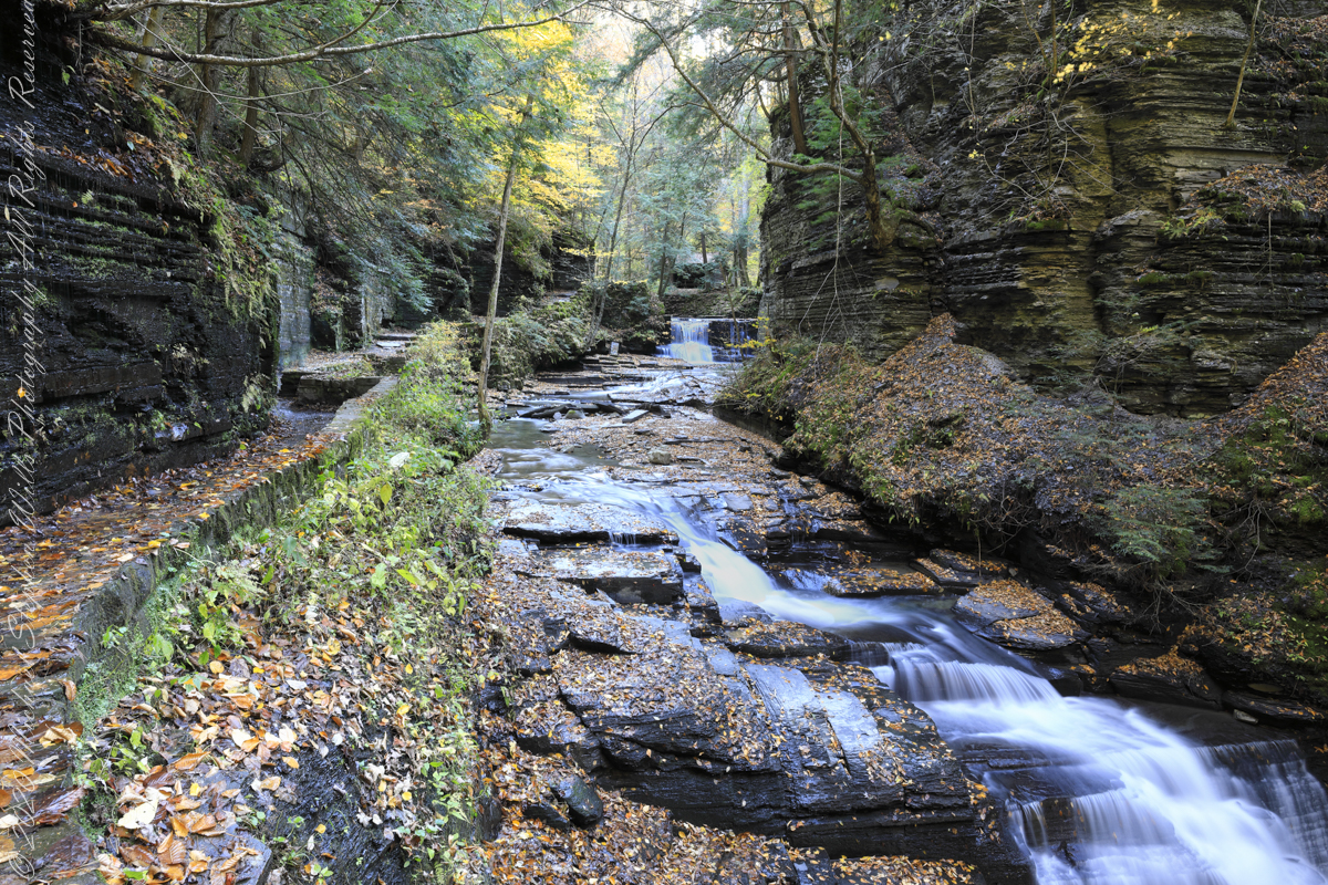
Purling of the water beneath this foot high waterfall was enhanced by reducing ISO to 100, tamping down the aperture to f/22 resulting in an shutter speed of 1/10th second. I set the graduated Neutral Density filter to shade the left side.
On the cliffs ahead is where the observation platform is cut into the rock. It has a great view of the waterfall, in some ways the experience of the falls is enhanced, compared to hiking the 3/4 mile path and standing below.
The Gorge Walls, hundreds of feet above the creek are very dangerous to stand below.
A marvelous forest grows on talus from the high gorge walls.
A sign on a disused pier warns waders to leave the creek bed. Ahead the gorge walls tower above the creek. Rocks dislodge and crash down unexpectedly, crushing foolish waders. It is appalling to see, in warmer months, people walking below those cliffs gathering the fallen rocks to make delicately balanced cairns.
Copyright 2023 All Rights Reserved Michael Stephen Wills
In November 2004, a visit to Canyon de Chelly with guide Hadley Tsosie revealed ancient petroglyphs and ruins, highlighting Navajo culture and the canyon’s unique beauty.
On November 3, 2004 my son, Sean, and I made our way to Chinle, Arizona on the Navajo Reservation at the mouth of Canyon de Chelly.
The next day, driving a rented 4 wheel drive, we arrived at the visitor center, at dawn, and there met Hadley Tsosie who worked as a guide. This is how you do it, if learning about the Canyon is your goal. It is possible to walk, unaccompanied, into the canyon to view the “White House” and this I highly recommend. Tourists can also drive around the rim to various overlooks. This is what most people do.
The canyon is still farmed and the tribe only allows visitors when accompanied by a guide. Only Diné (Navajo) are certified as guides. They know the rights of way and the preferences of the landowners.
We negotiated with Hadley to take us for half a day for our interest in petroglyphs and ruins. It is important to start early when the sun is low in the sky, when directly overhead the details of ruins and petroglyphs are washed out by the light. Catching the late afternoon/evening sun is also an approach that requires detailed knowledge of the route, taking into account the time of year.
Hadley was an excellent choice, though he was our only option on that day. He was fluent in Navajo beliefs, the lore of the canyon and generous in sharing what he knew.
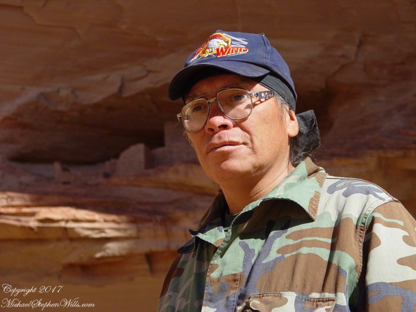
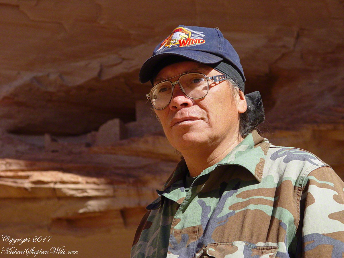
Here is Hadley, approximately 6.2 miles into the canyon with the “Ledge Ruin” behind. We arrived at the junction just in time, before the sun was high enough to wash out the ruin. It is slow going into the canyon what with the deep sand and water that must be negotiated. Hadley did the driving and was expert. We passed other parties bogged down in the wet sand. I do not believe it was luck that kept us moving . We stopped many times to talk and admire the petroglyphs and pictographs.
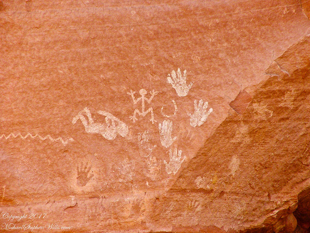
Petroglyphs are symbols incised, or cut, into the surface (the name means petro, “rock”, glyph, “symbol”). In the desert climate of the southwestern USA a thin, dark pigment forms on rock surfaces of overhanging cliffs. The pigment forms from infrequent precipitation, in the form of water, flowing downward over the surface or even dew. The high heat of the desert drives a chemical reaction between water, clays, iron and manganese oxide to form a coating on the rock surface. The dark coating, called “desert varnish”, contrasts with the underlying rock. When it is scraped away a line forms. Many of the petroglyphs were of this form. Others were carved into the rock itself, more time consuming and durable. No one knows when the petroglyphs were made, they were always there are respected. People have inhabited Canyon de Chelly for over a thousand years. The word pictograph has a different meaning when used to describe prehistoric art. The earliest writing were symbols incised in wet clay, then allowed to harden. The pictographs we viewed was prehistoric art, mostly white pigment on the red rock, outlines of hands. There were also kokopelli, the outline of a flute player and jagged lines, symbolizing, Peter told us, lightening.
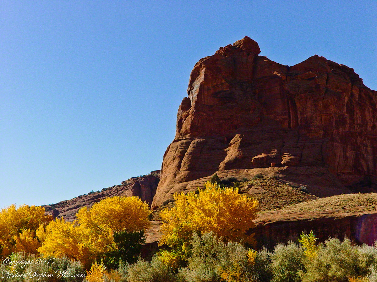
In November the cottonwoods were in fall foliage, a brilliant yellow under a cloudless sky. The sun is lower in the south and rises later. The Navajo Reservation follows daylight savings time, unlike Arizona. This November morning the sun rose around 7:45 am, so if you are not an early riser this time of year is an excellent choice for a Canyon de Chelly tour.
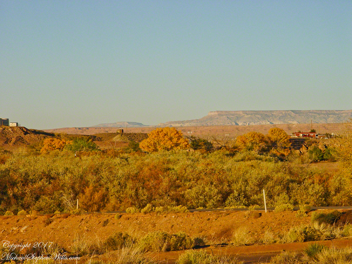
Looking southwest from the Canyon de Chelly visitor center toward the eastern escarpment of Black Mesa of the Hopis.
The village of Chinle is a “census designate place”, in other words it only exists because people live there, it was not formally recorded in “official” records. On the Navajo reservation, people lived here beyond recorded time. It is called in their language “flowing out”, where live giving water flows out from the canyons.
There is a fine Best Western in Chinle, better than most of that brand and the only choice for mile and miles and miles.
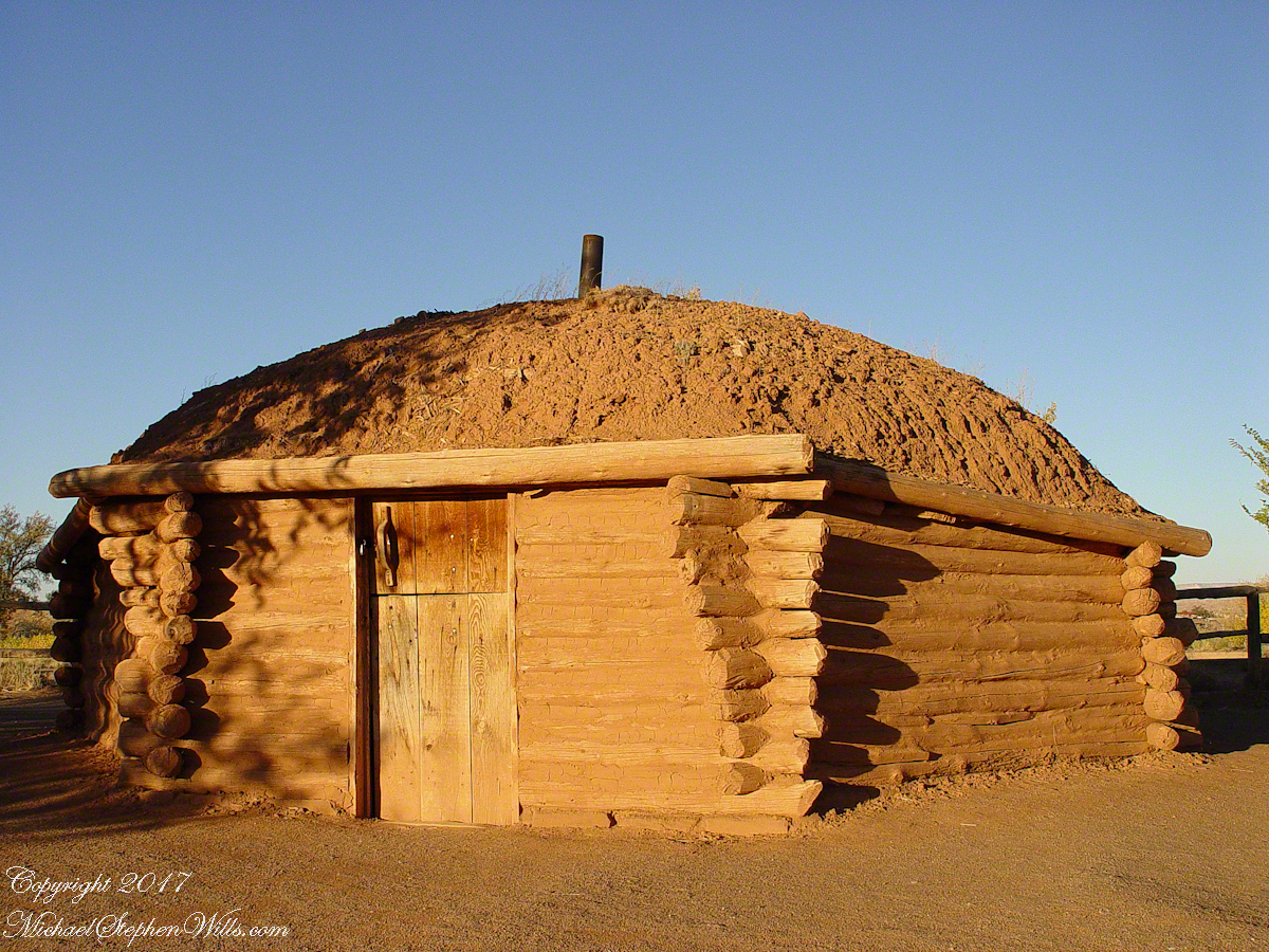
This is a cribbed log hogan. The domed earthen roof keeps the interior cool in hot weather and, along with a fire, warm in the winter. The Navajo hogan entrance faces east.
In Junction Ruin Musings, the previous post, a ruin from the Anasazi people was contemplated. Above is a traditional Navajo dwelling from a later, more secure, time.
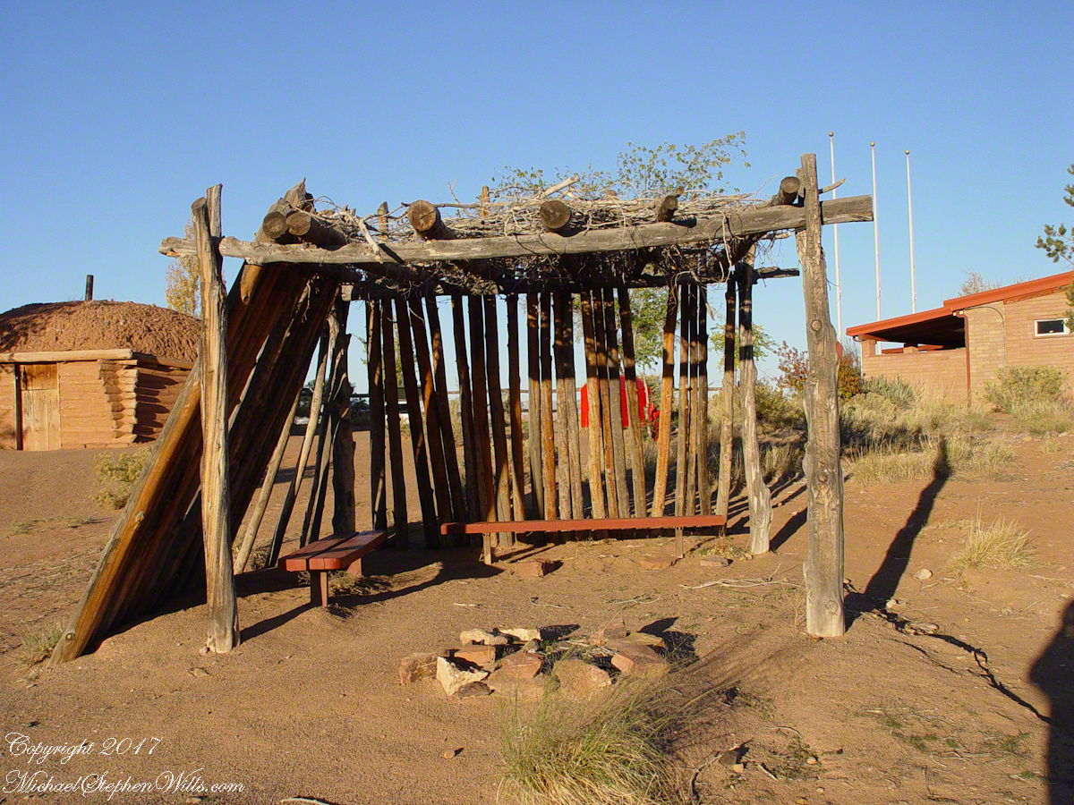
A good place to cook, read and sleep in hot weather. The entrance faces east and, for this one, the view was superb.
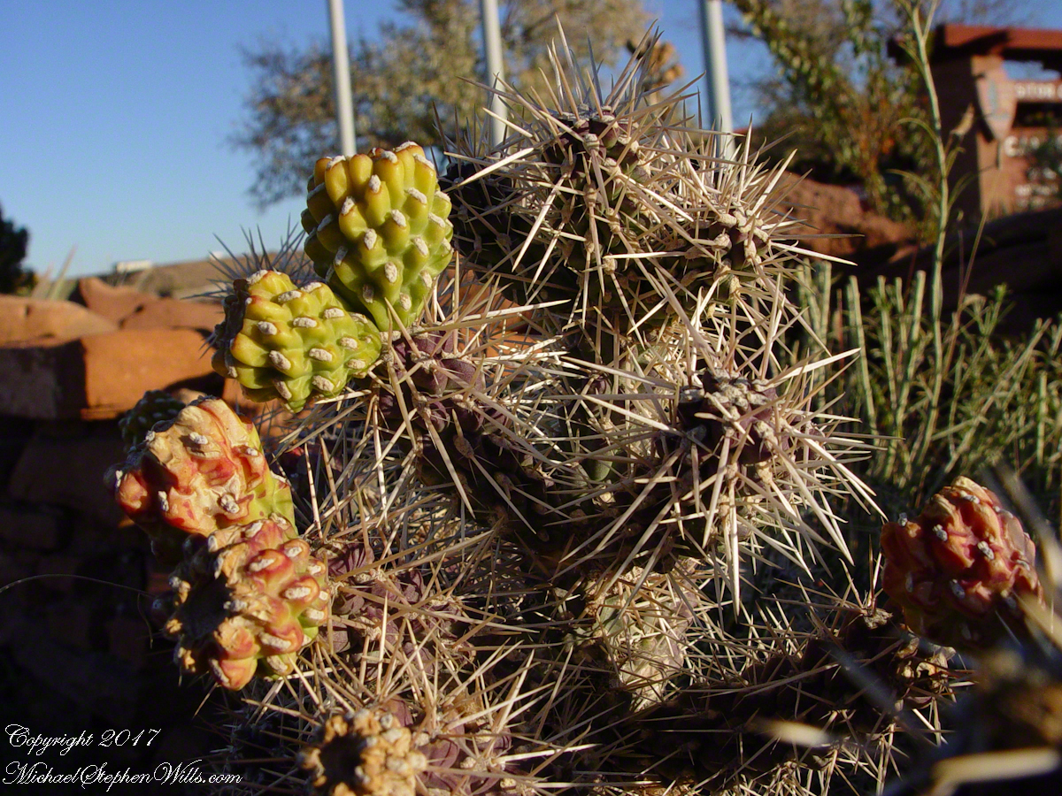
Ouch!! Everywhere in the southwest, watch where you tread.
A Native American, seeing the flute playing Kokopelli, hears in the mind the sonorous melodies of their native flutes carried in as if on the wind. The hands waving in rhythm, “Here we are.”
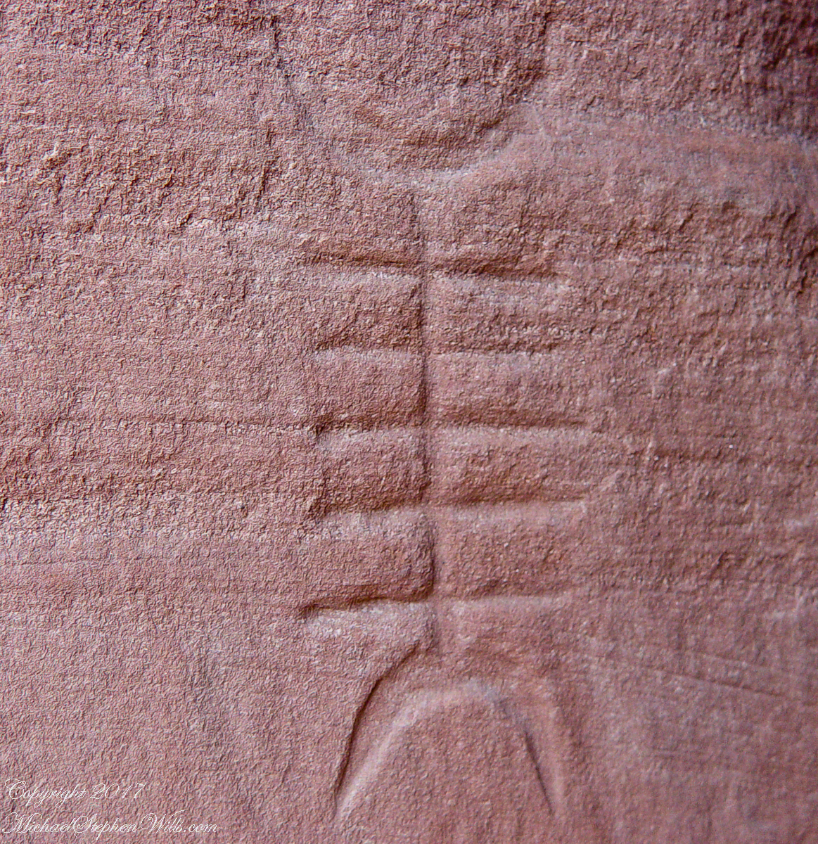
Canyon de Chelly symbol carved into red sandstone cliff representing a clan sign.
I recall our guide, Peter, describes this as a scorpion.
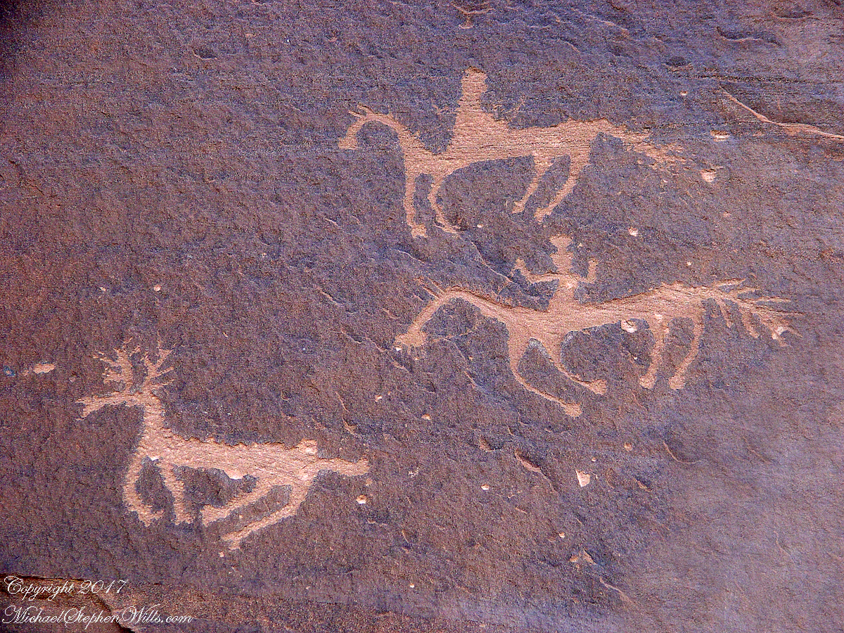
Canyon de Chelly petroglyph, desert varnish over red sandstone. Image is dated by representation of horses, brought by europeans.
The feeling of movement and the story invoked viewing this drawing etched carefully on the rock demonstrates we are in the presence of an accomplished artist. The story of the times for us to learn from.
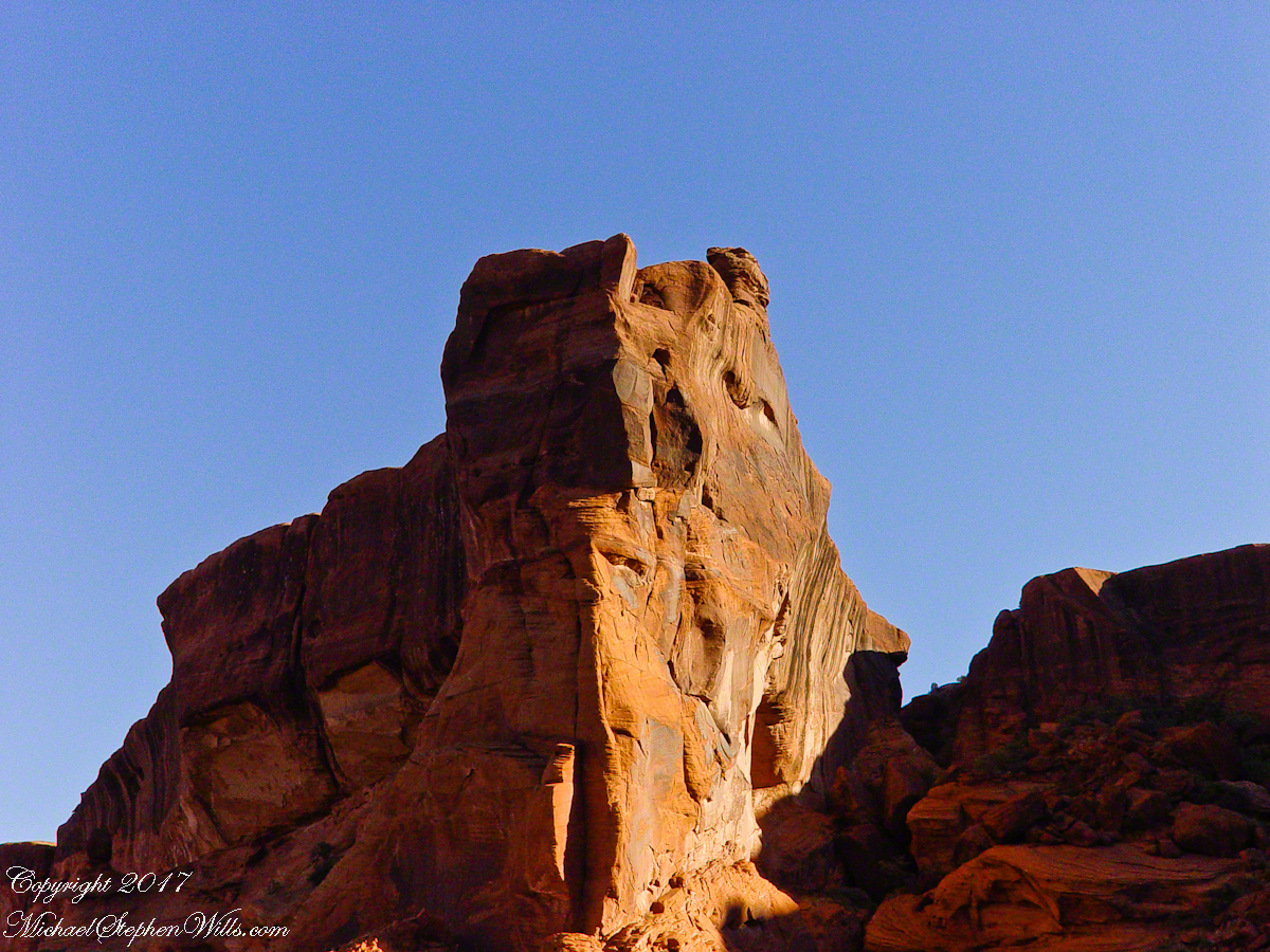
Red sandstone formation on ridgeline, north side of Canyon de Chelly is remember by the Navajo for the story of the Raven Woman.
A Navajo woman, fleeing Apache captors, flew over this cliff, or seemed to. Survival depended on knowing how to run over slickrock without stumbling and to know where and how to disappear into the rocks.
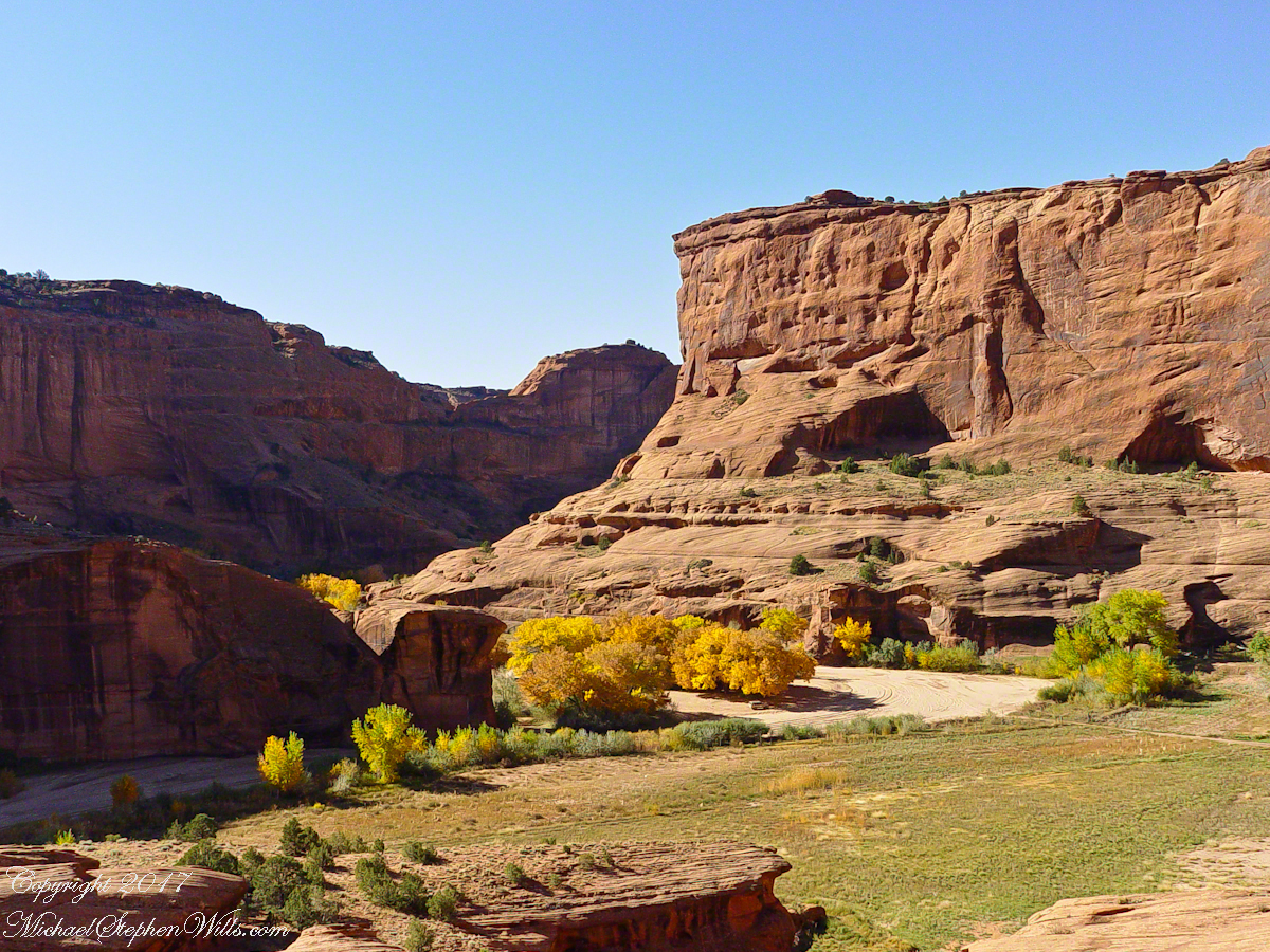
Canyon de Chelly below the first division into tow arms, the junction. This is looking south east. The cottonwoods are in autumn foliage.
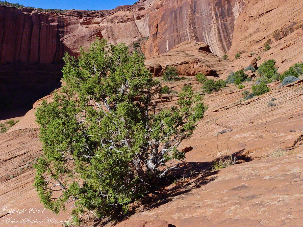
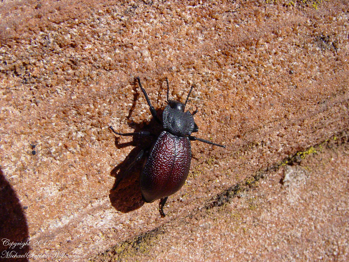
Cahyon de Chelly is is possible here to climb out of the canyon over these lower slopes over what is called slickrock. In the foreground is a juniper tree.Canyon de Chelly vista from a slickrock ledgeA two inch dung beetle crawls up sandstone slickrock, the origin of this stone apparent from the visible sand granules within an apparent clay matrix. The stone grain, described as cross bedded, suggests this was a former dune of wind blown sand composed of remnants of the Ancestral Rock Mountains.
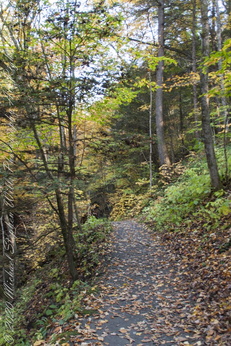
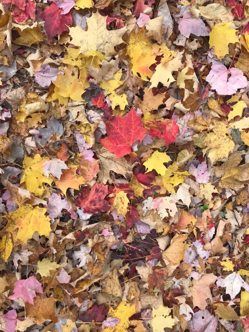
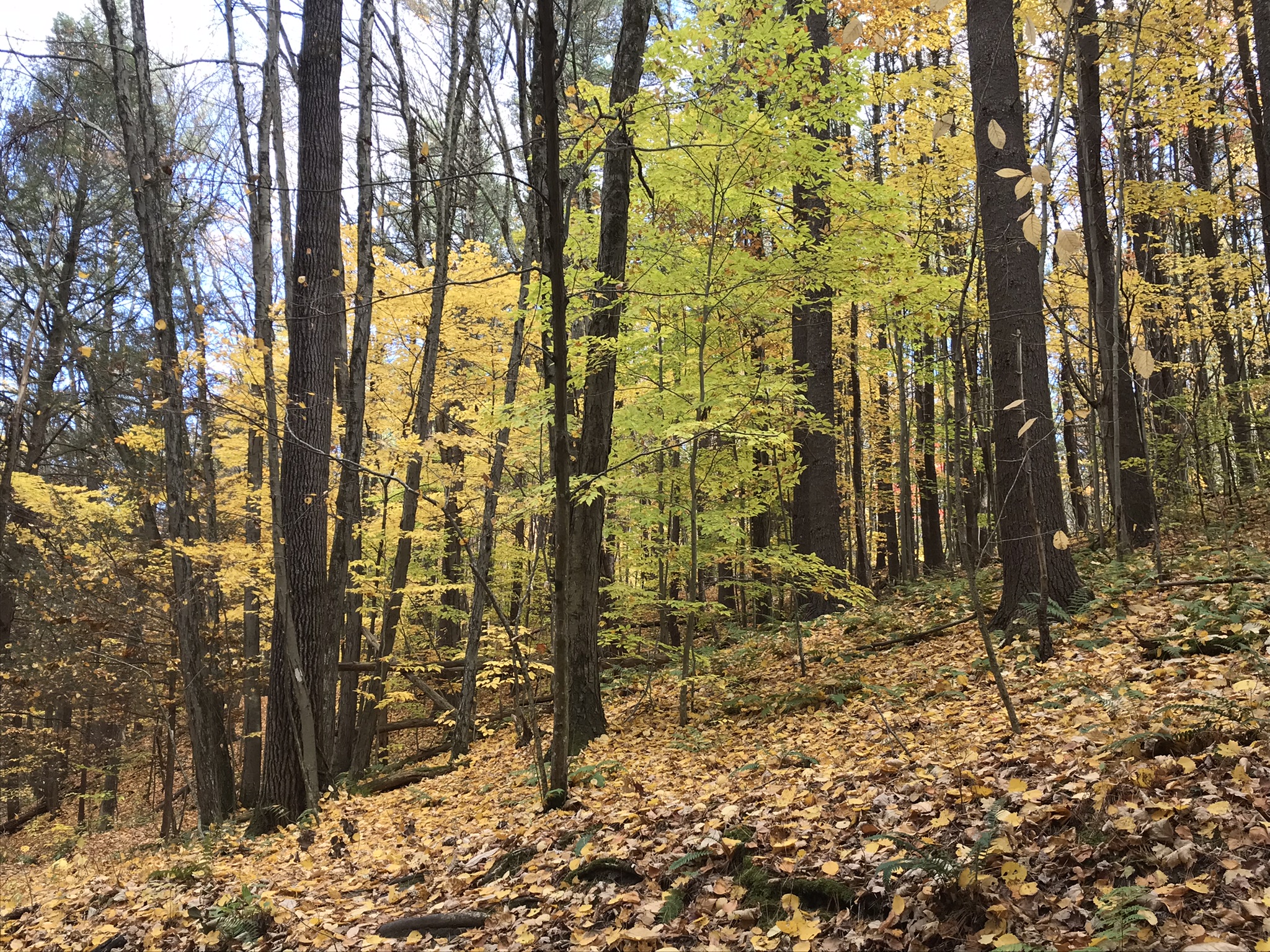
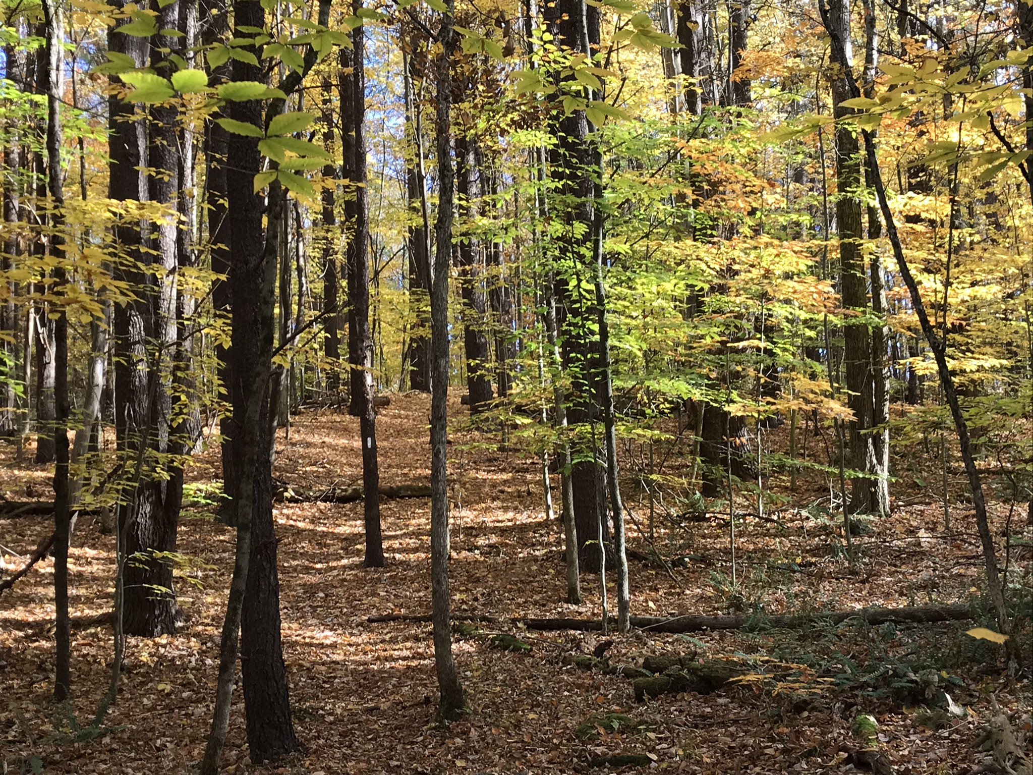
My Sony Alpha was in use during our October 16 drive to Fillmore Glen. As we traversed landscapes, autumn glory of Tompkins and Cayuga Counties was captured. Thank You, Pam, for driving.
Heading today’s post is a windshield shot, I’m loving the effect of a golden road.
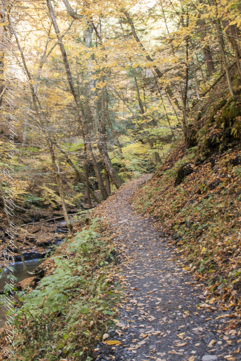
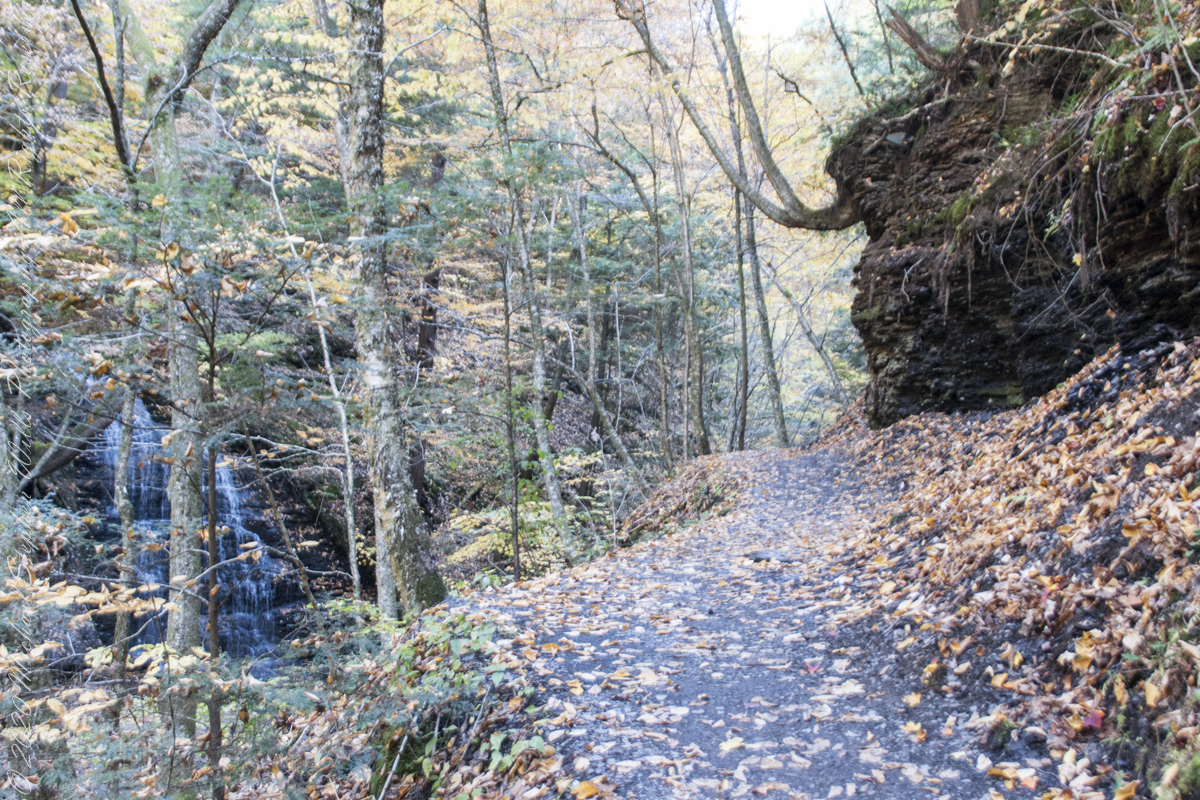
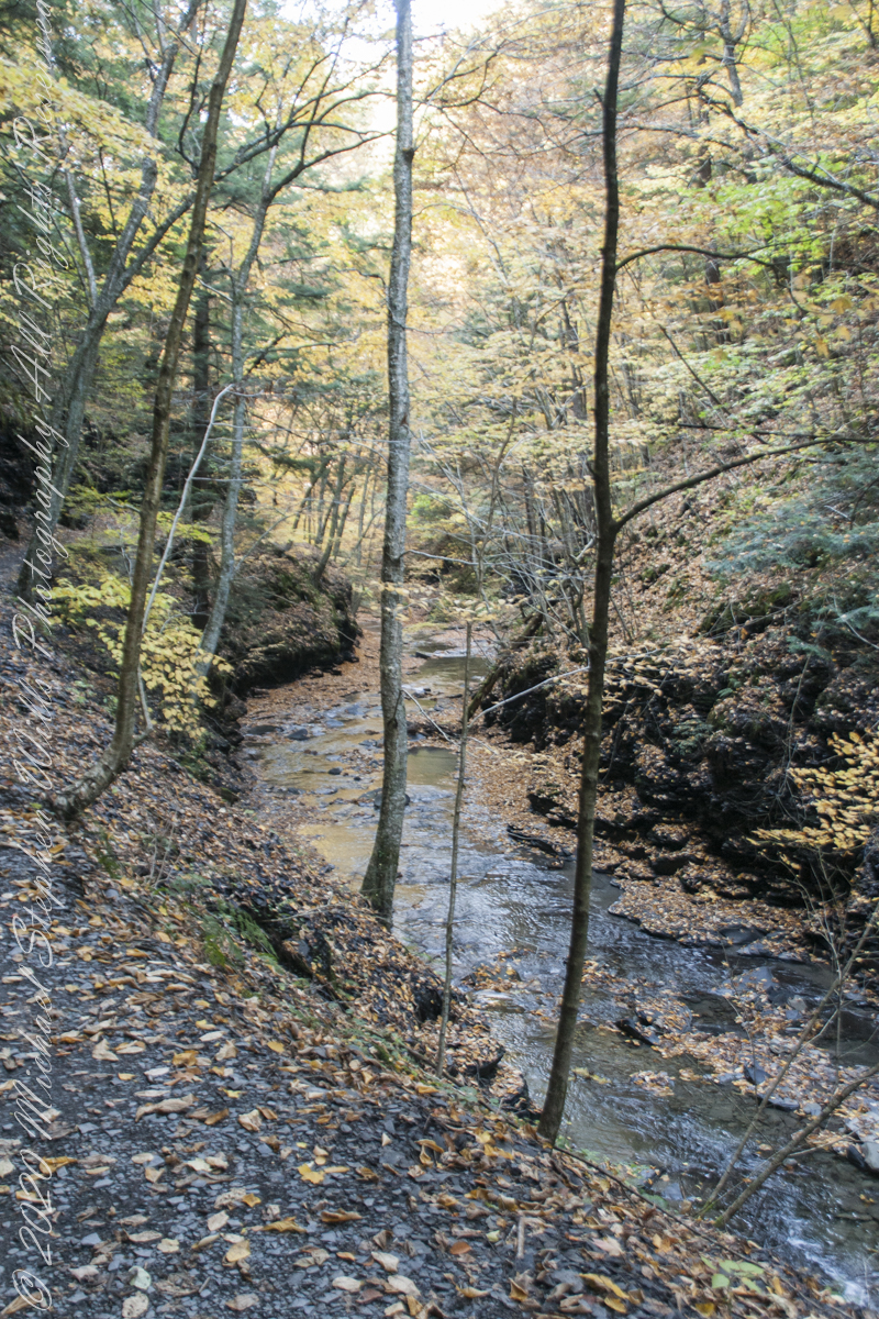
During our walk, I used the Sony Alpha for a parallel series of shots to compliment the tripod mounted Canon. Here are some of those results.
Step up and over
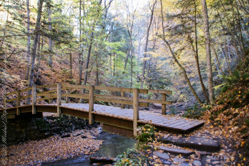
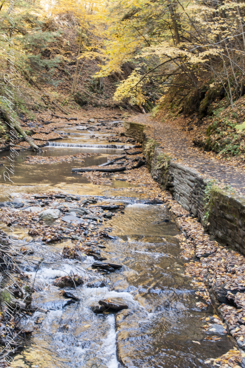
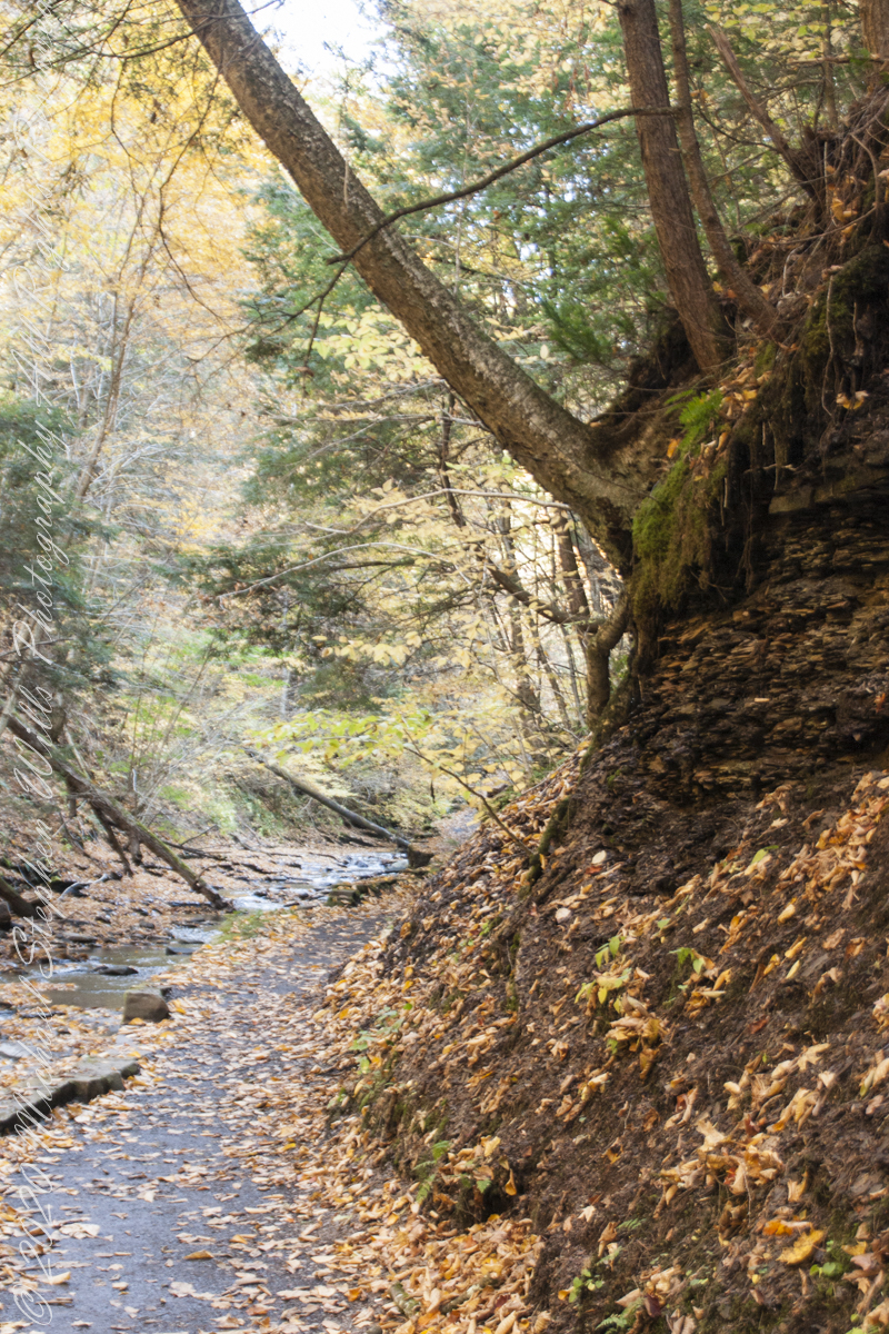
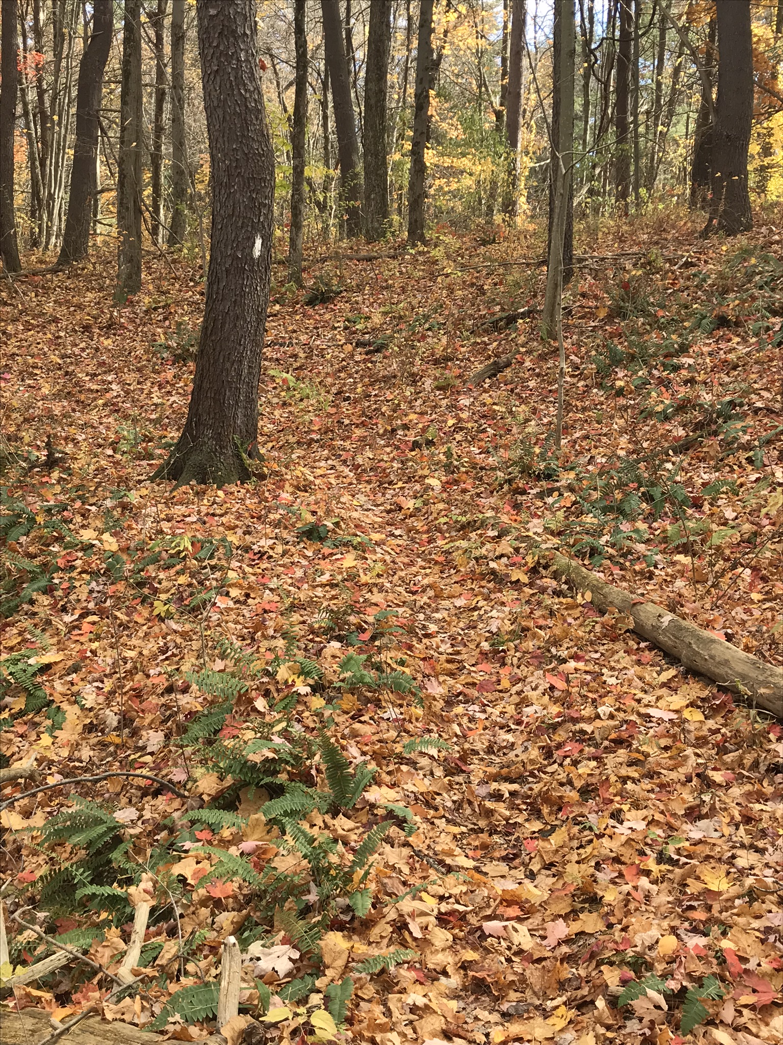
Enjoy this collection of Fillmore Glen pathways
AA
Fillmore Glen, New York State Park, Cayuga County, Moravia, New York
Copyright 2022 All Right Reserved Michael Stephen Wills
” I ventured up the gorge from bottom to this point where, blocked by an enormous shining emerald-colored ice wedge accumulated from the water pouring over the path in warmer months, I turned around”
Between the metal walkway (see previous post) and the last numbered bridge, eight (8), the gorge narrows with sedimentary rock cliffs on either side, remnants of the forces that formed this rock in the form of water pouring from the porous stone flowing over the trail.
One February morning, equipped with climbing boots, crampons, gaiters, I ventured up the gorge from bottom to this point where, blocked by an enormous shining emerald-colored ice wedge accumulated from the water pouring over the path in warmer months, I turned around.
I call it a Waterfall Gallery for these walls bracing this wonderful collection of cascades in these photographs.
Waterfall gallery between bridges seven (7) and eight (8). Fillmore Glen, New York State Park, Moravia, Cayuga County, New York
A warm and cool versions of this spot.
Warm
Cool
Watch Your Step!!
Fillmore Glen, New York State Park, Cayuga County, Moravia, New York
Copyright 2022 All Right Reserved Michael Stephen Wills
Crossing bridge seven (7), “Lovers’ Bridge, we encounter this passage, from the earliest work of the Civilian Conservation Corps of the 1930’s. Stairs carved into the Cambrian cliff. These images are a combination of handheld Sony Alpha dslr and tripod mounted Canon captures. Can you tell the difference (please comment on your insights).
View from the new walkway
Looking back to the walkway installed this year. This span does not cross Dry Creek, is not included in the bridge count.
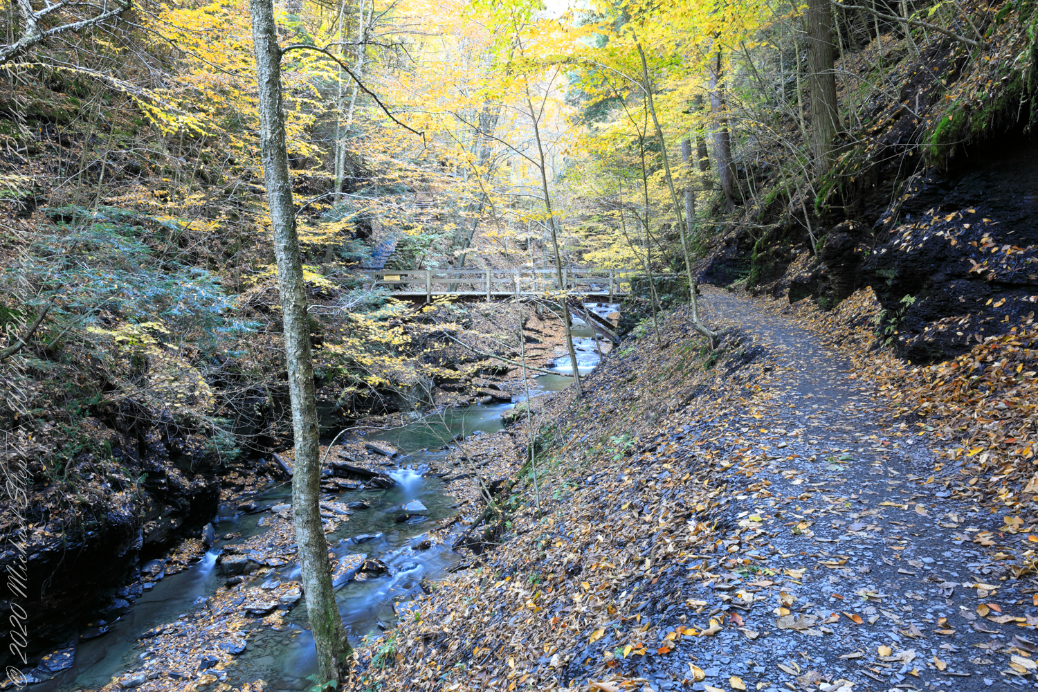
Overhead, the glorious autumn canopy
Fillmore Glen, New York State Park, Cayuga County, Moravia, New York
Copyright 2022 All Right Reserved Michael Stephen Wills
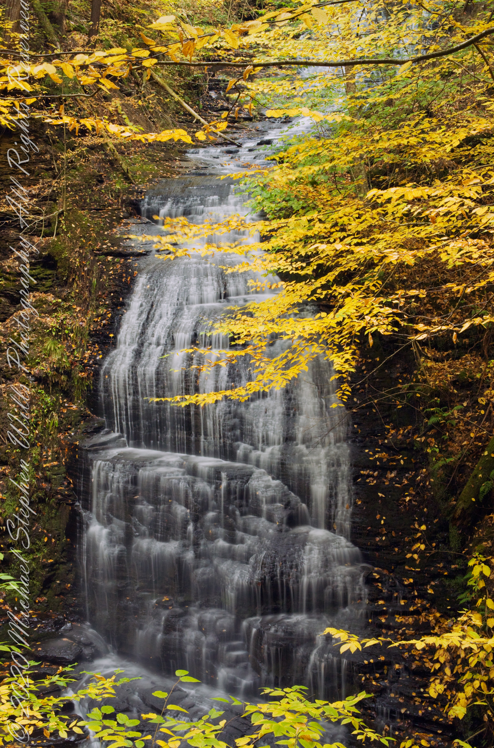
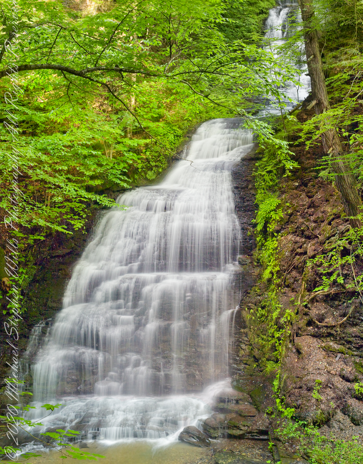
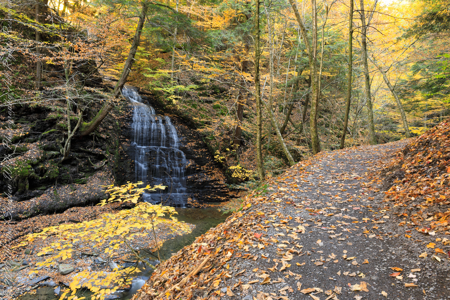
Between bridges six (6) and seven (7) on the Gorge trail a cascade comes down the canyon wall. Mid-summer this brook can dry out, the waterfall disappears leaving this spot naked of water.
Taken over a period of thirteen (13) years, the cascade was alive and well autumn-time. This year, after the summer drought our autumn rains were sparse, the flow is the lowest photographed.
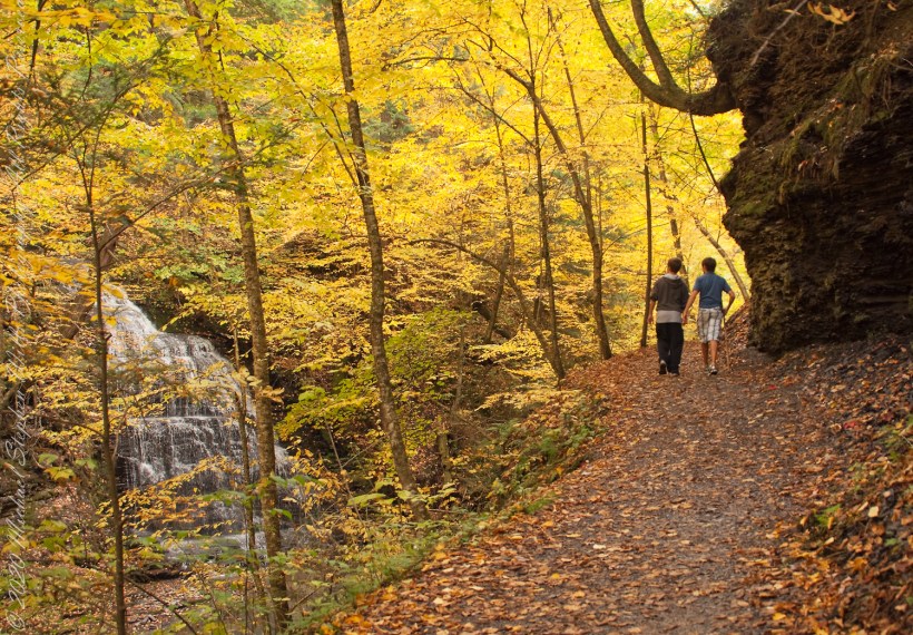
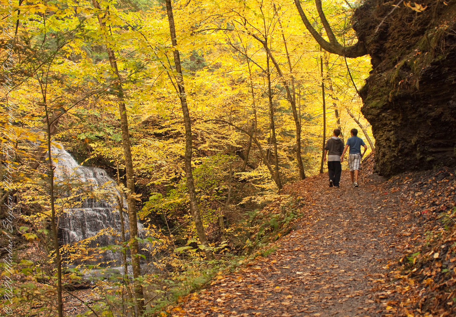
“Friends”, Sony DSLR-A 700, variable lens set to 24 mm
Taken mid-October 2010, Kodak DSC Pro SLR-C, 50 mm lens
Taken late September 2009 before leaf turning, Kodak DSC Pro SLR-C, 50 mm lens
Autumn Peak 2022, Canon EOS 5D Mark IV, 24 mm lens
Copyright 2022 All Right Reserved Michael Stephen Wills