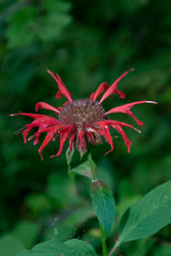
Monarda didyma is also known as crimson beebalm, scarlet beebalm, scarlet monarda, Eau-de-Cologne plant, Oswego tea, or bergamot. A wildflower native to the Finger Lakes, Crimson beebalm is extensively grown as an ornamental plant, both within and outside its native range; it is naturalized further west in the United States and also in parts of Europe and Asia.
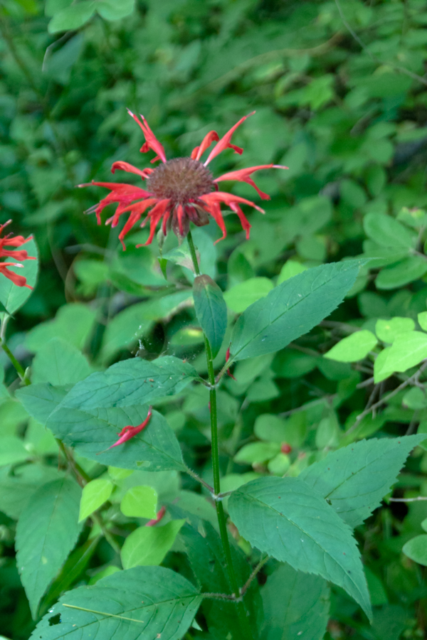
It grows best in full sun, but tolerates light shade and thrives in any moist, but well-drained soil. As suggested by membership in the Lamiaceae (mint) family, Beebalm, as an aromatic herb, has a long history of use as a medicinal plant by many Native Americans, including the Blackfoot. The Blackfoot people recognized this plant’s strong antiseptic action and used poultices of the plant for skin infections and minor wounds.

An herbal tea made from the plant was also used to treat mouth and throat infections caused by dental caries and gingivitis. Beebalm is a natural source of the antiseptic thymol, the primary active ingredient in modern commercial mouthwash formulas. The Winnebago used an herbal tea made from beebalm as a general stimulant. It was also used as a carminative herb by Native Americans to treat excessive flatulence. As a matter of local interest, Iroquois of Oswego, New York, made the leaves into a tea, giving the plant one of its common names.
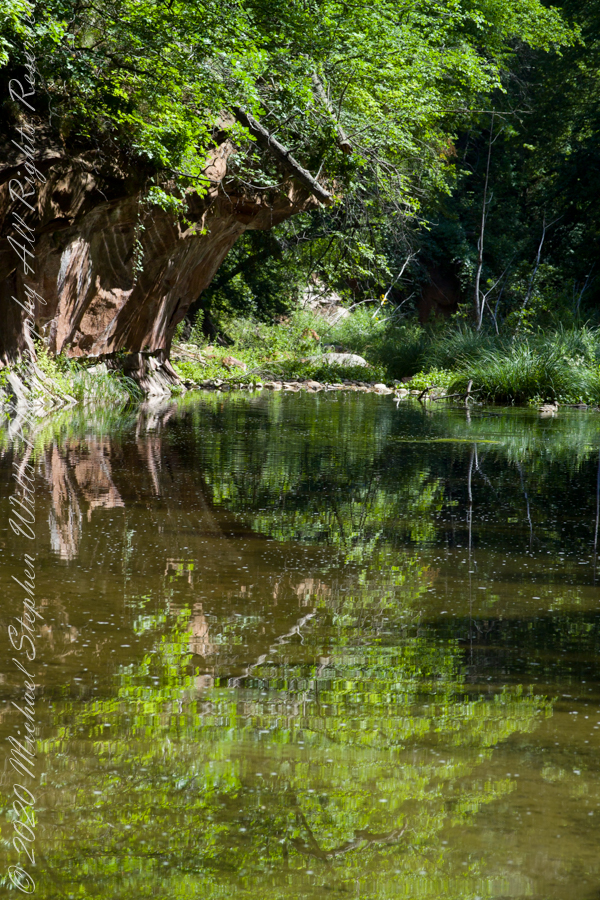
It is 9:30 am on a July morning Robert H. Treman Park, Ithaca, Tompkins County, Ithaca, New York,
References
Wikipedia, “Monarda didyma”
“The Botanical Garden, Vol II” Roger Phillips and Martyn Rix, Firefly Books, 2002. Page 284