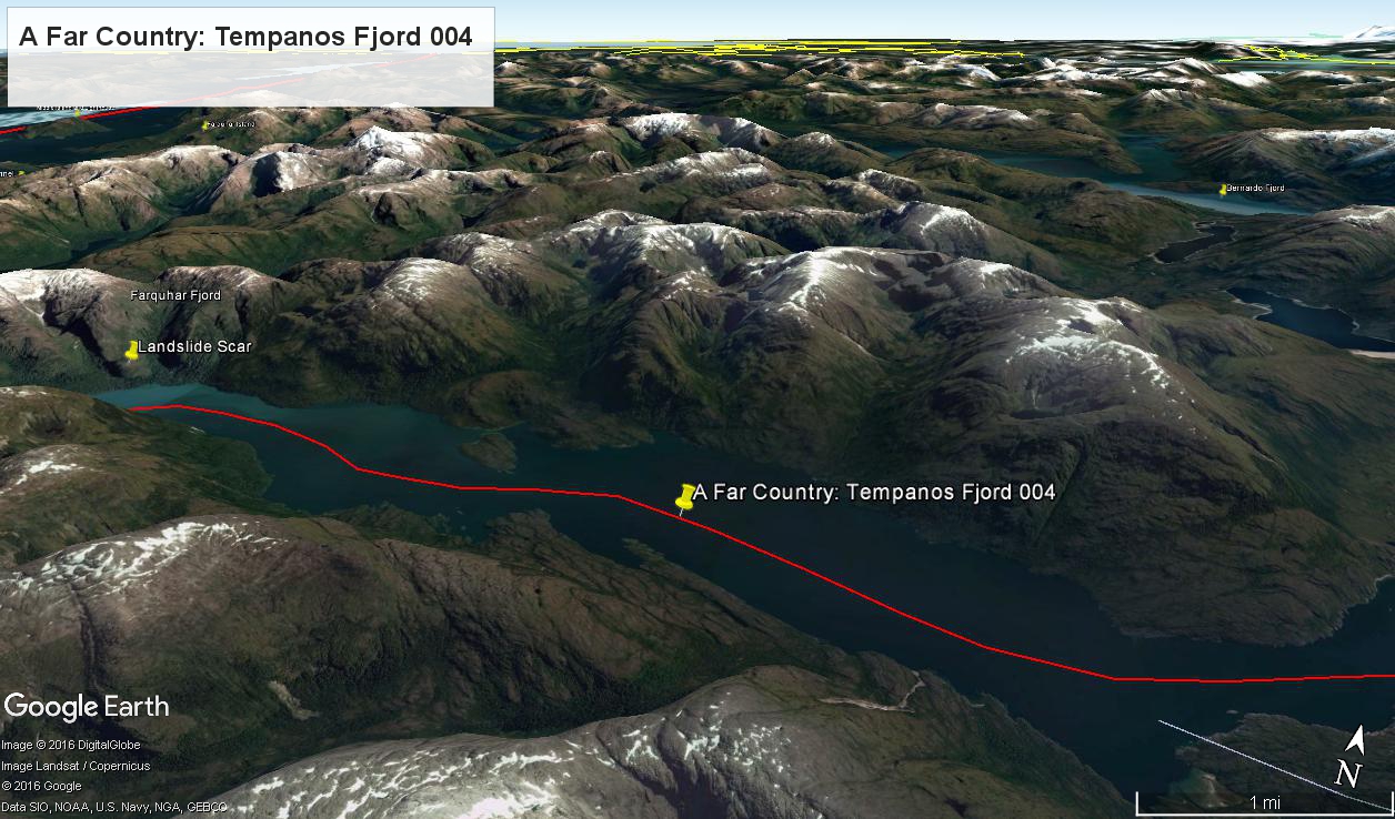
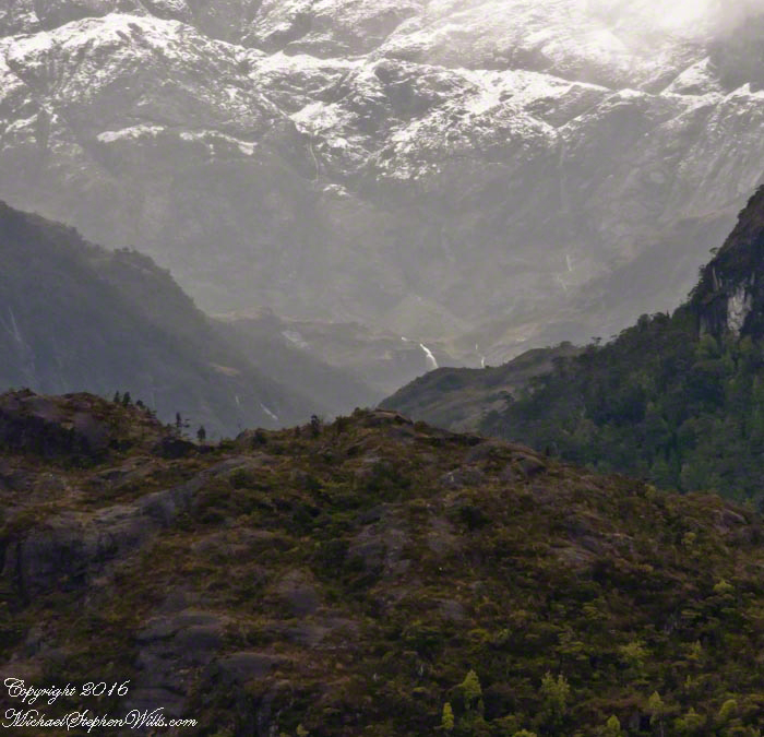
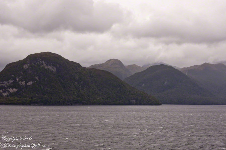
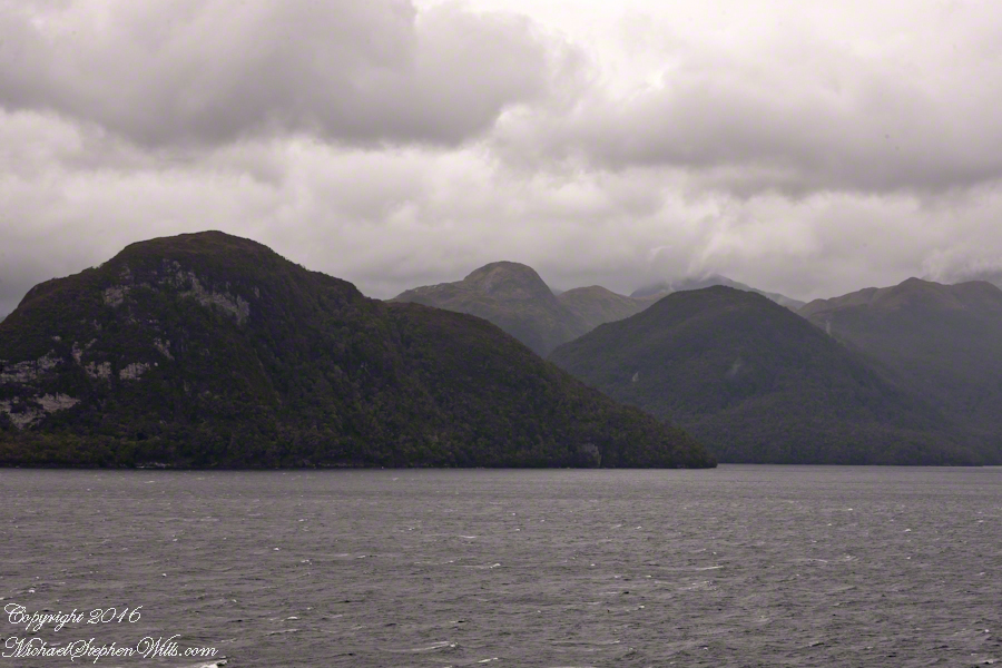
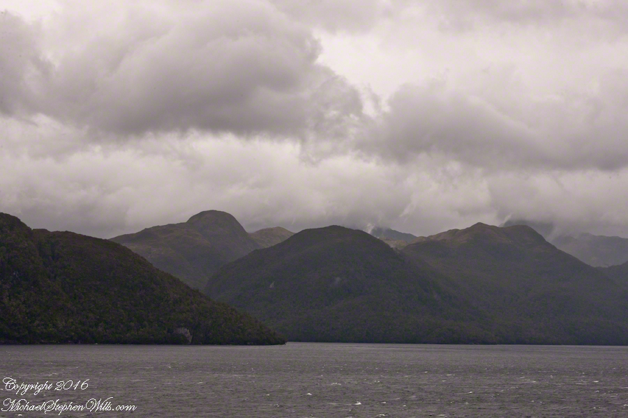
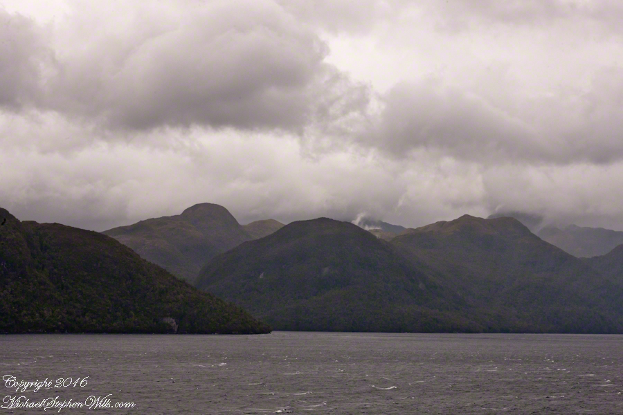
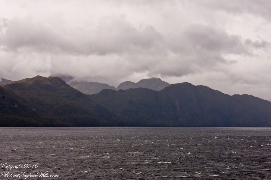
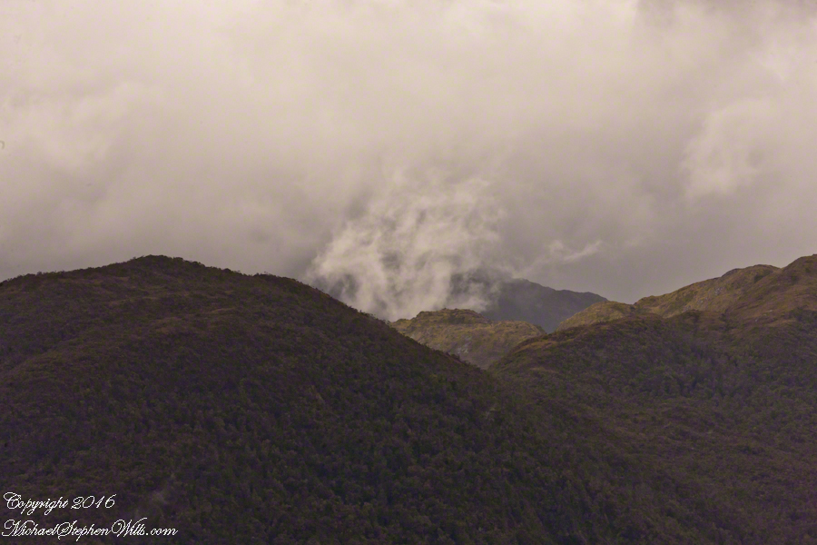
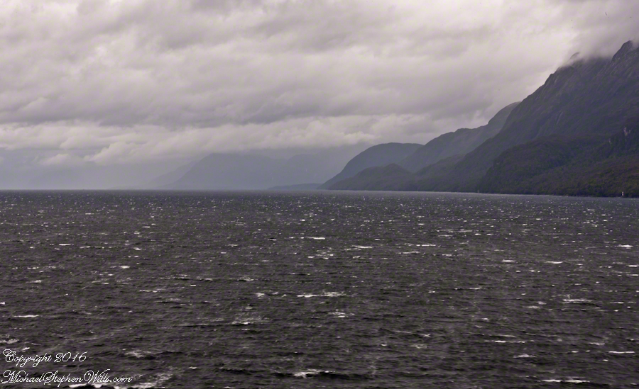
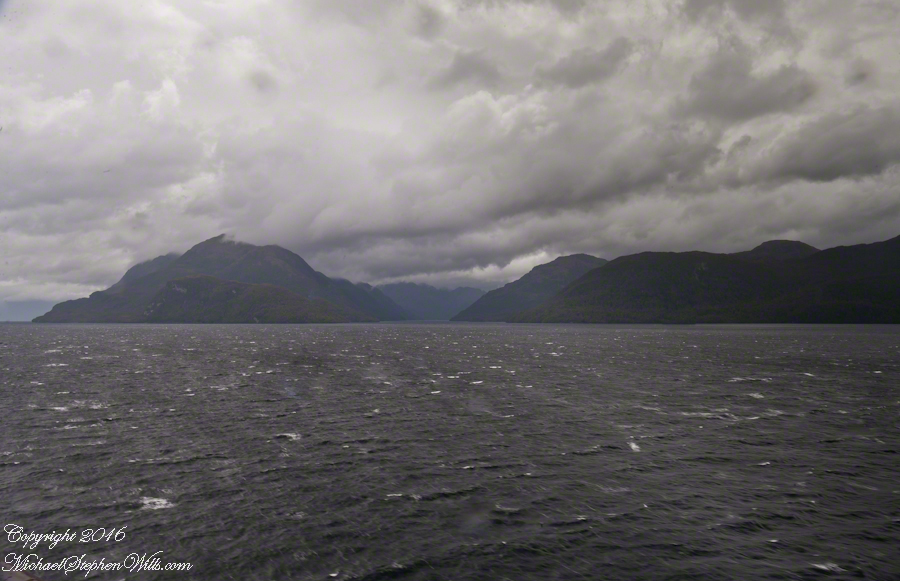
This is a view of the fjord countryside from the Oceania Regatta position about 4.75 miles from Iceberg Glacier . As the Regatta proceeded at the slow rate of 4.6 knots, I captured this high valley and waterfall from the position marked with the central pushpin in the following GoogleEarth image from 14,000 feet altitude.
Click any pic to visit my OnLine Gallery.
The following photograph is the view North. The far waterfalls are fed by two mountain top lakes, waters that feed into Tempanos Fjord. We are in the Chilean Aisen (also spelled Aysen) Region (XI) looking into a valley between Tempanos, Farquhar and Bernardo fjords. This island and valley has NO name, as far as I can tell. The region is uninhabited, part of the Bernardo O’Higgins National Park.
This was taken with a handheld Sony DSLR-A700, the variable lens at 200mm, 1/800 sec at f/13.
Copyright 2022 Michael Stephen Wills All Rights Reserved
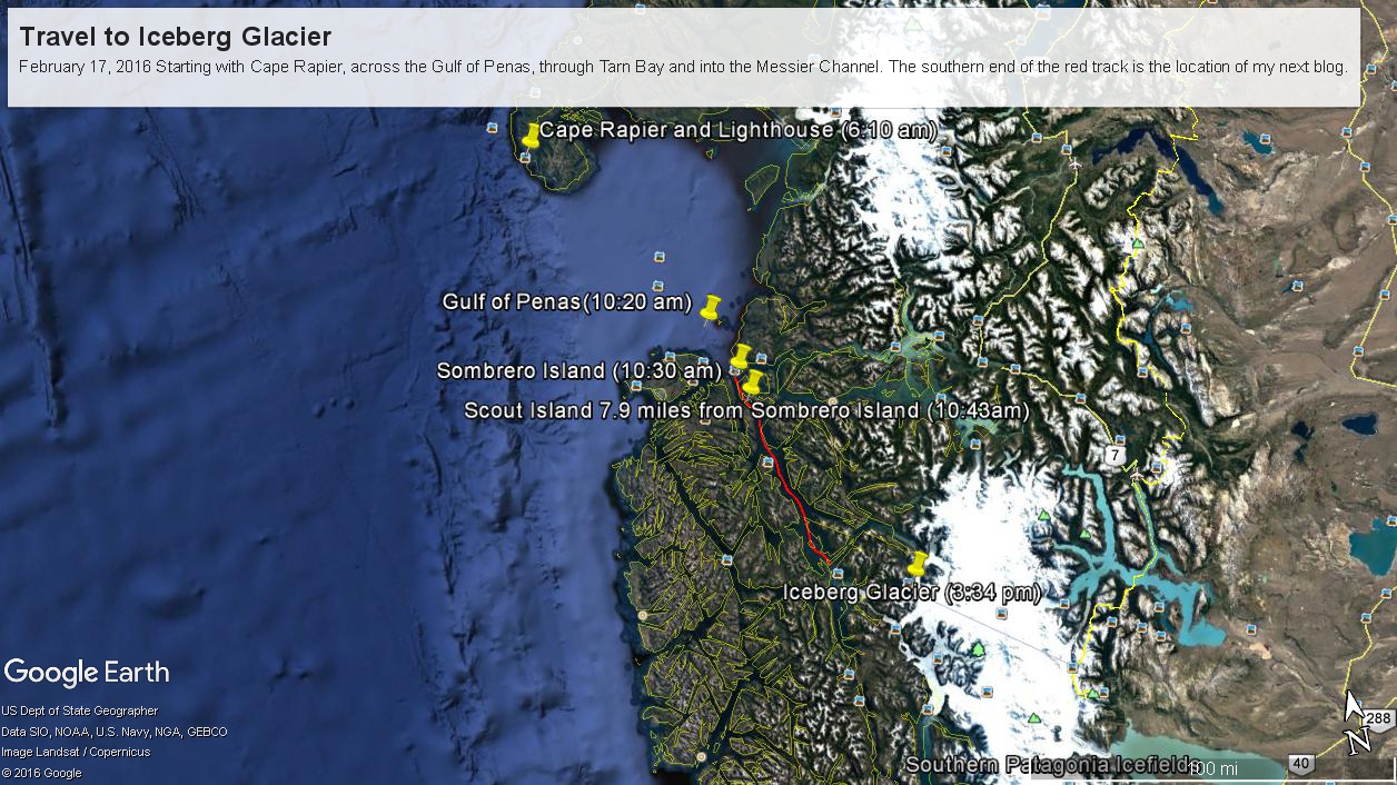
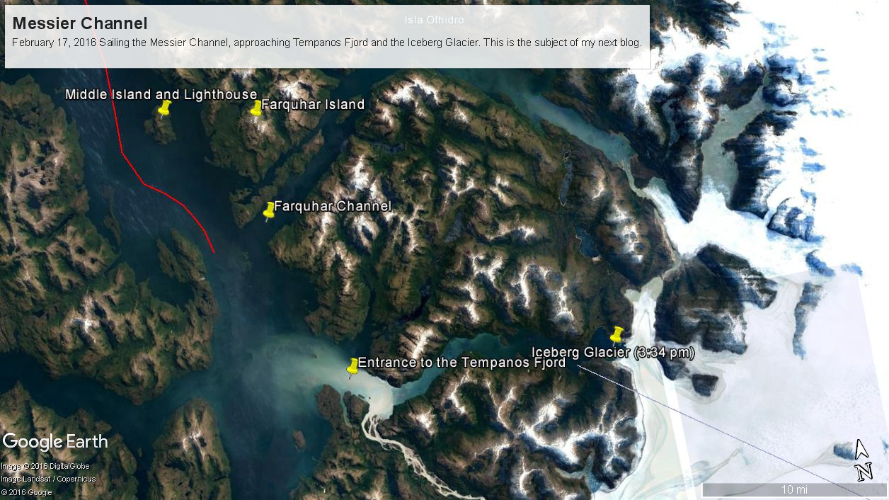
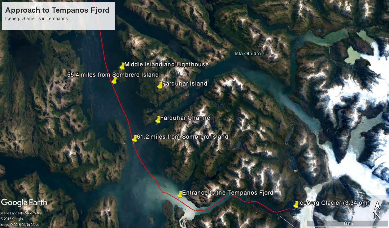
Here are a series of maps to aid your understanding of this series of blogs, starting with sunrise off Cape Rapier and ending with my next blog, the approach to Tempanos Fjord and the Iceberg Glacier.
Copyright 2022 Michael Stephen Wills All Rights Reserved
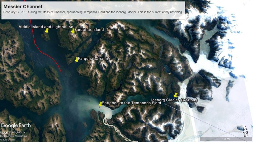
These photographs are most notable for the first sighting of the entrance to Fjord Tempanos and our day’s destination the Iceberg Glacier. At Middle Island Messier Channel is over 5 miles wide though studded with islets and navigational hazards. Here is a Google Earth map of the area with notable locations pinned with names. The red line is a ruler path from Sombrero Island.
In the previous blog, Orientation, Iceberg Glacier, February 17, 2016, you learned about the route the Oceania Regatta followed that day. We left off with photographs of Scout and Orlebar islands, the time was 12:43 pm Chilean Summer Time (daylight savings). The next photograph was time stamped 2:24 pm and, frankly, I had lost track of where we were, so it was necessary to determine the ship’s position.
Here is how to do it. From two known points, Sombrero Island at the northern end of Messier Channel and the Iceberg Glacier, our day’s destination, first a velocity from the total distance, in miles, (Google Earth) divided by the time duration (subtract time stamp of the starting from the final digital photograph and convert to minutes). This gives an average ship velocity in miles Using excel list the photographs with time stamps. For each photograph calculate the time from the starting photo, in minutes, and multiply this by the average velocity.
In this way, I determined the first photographs of this blog were Middle Island and obtained confirmation using Google Earth to view the location from ground level. The process is iterative in that the views showed the first calculated position to be behind the position matching the view.
This, I hypothesized, was because the ship velocity decreased on entering Tempanos Fjord. Noting a time gap between the last photograph of this blog and the next, taken within Tempanos Fjord. So, using Google Earth to establish the last photograph position, I recalculated velocity using that last position as the last time. Then, I recalculated the distances of the photographs and the calculated positions came into better agreement with the viewed positions. After Middle Island the ship slowed significantly in order to enter the fjord.
I still have opened questions because the calculated speed from Sombrero Island to Middle Island is 6 knots higher than the documented top speed of the Regatta.
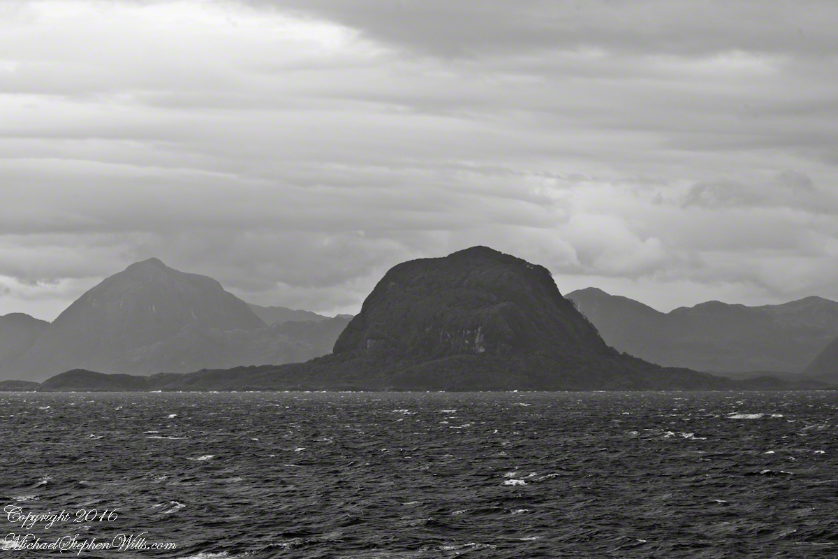
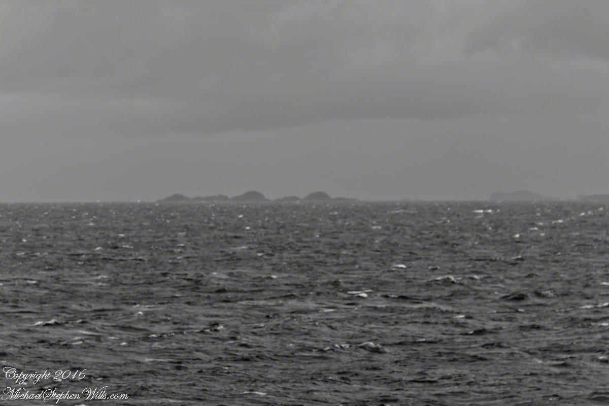
52.02 miles from Sombrero Island. View NorthEast toward Middle Island, Farquhar Island behind.
The lighthouse of Middle Island is not in view. The channel between the islands is Brazo del Este.
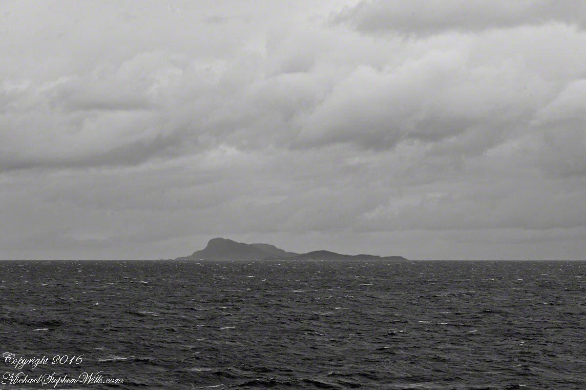
View NorthEast toward the peaks of Farquhar Island Over the shoulder of Middle Island is Riches Bay of the farther island.
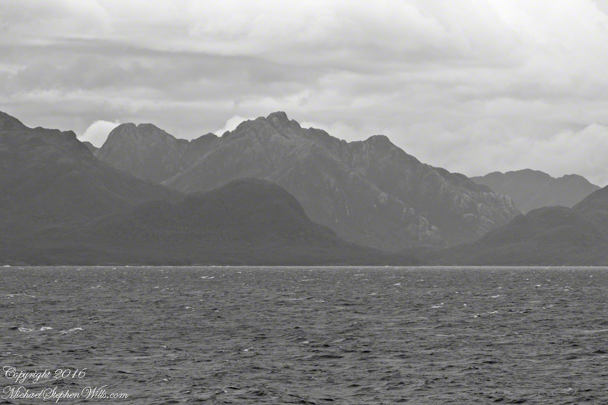
View NorthEast toward the peaks of Farquhar Island. Across from us, on Farquhar Island, the George River flow into Connor Cove which opens onto the channel named Brazo del Este. The channel separates the islands.
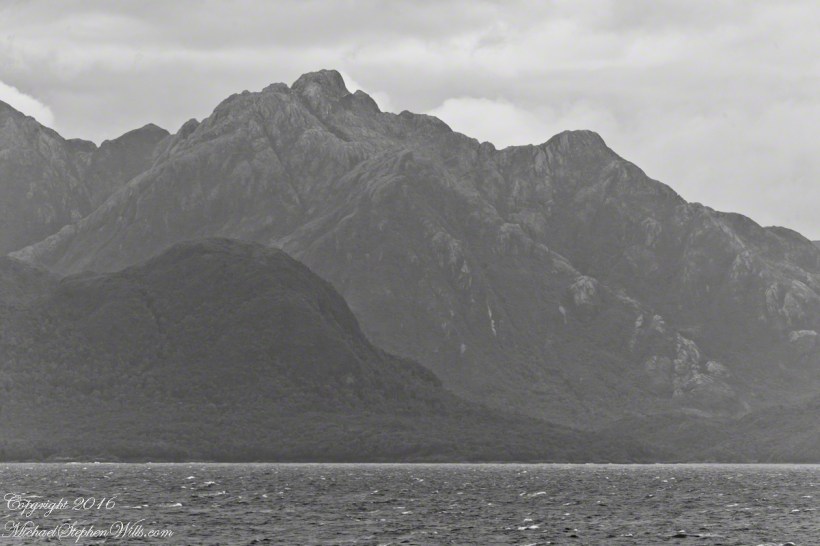
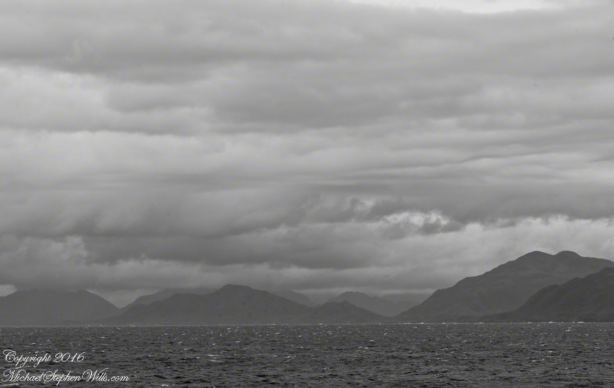
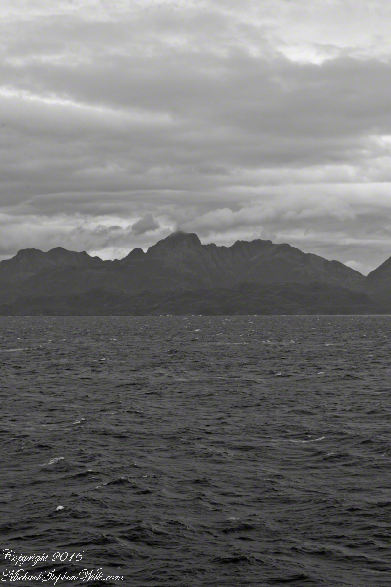
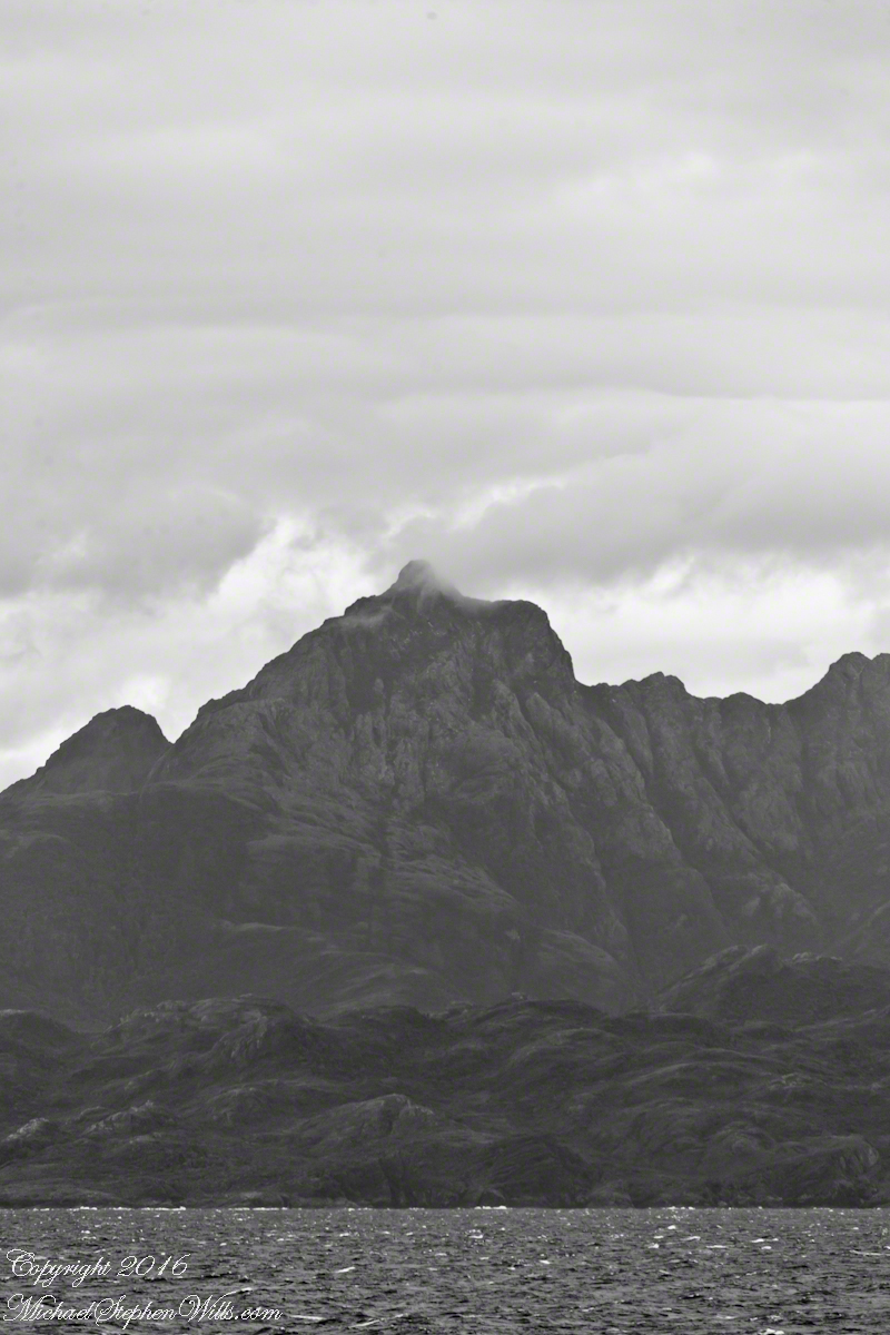
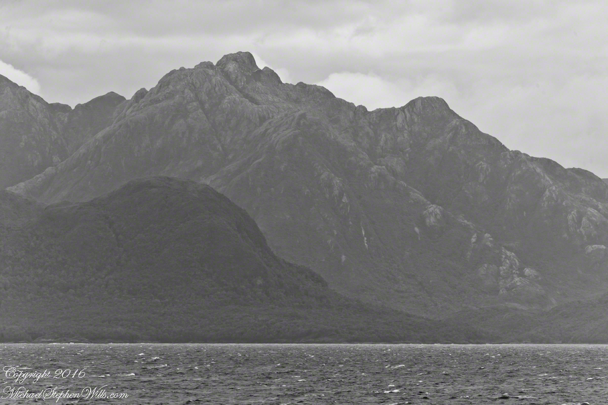
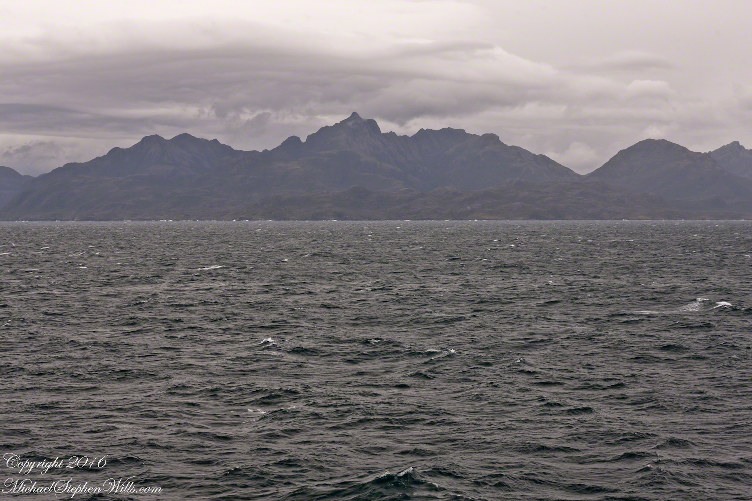
View east the steep cliffs of Farquhar Island rising abruptly from Messier Channel, to 3,200 feet in 2.7 miles.
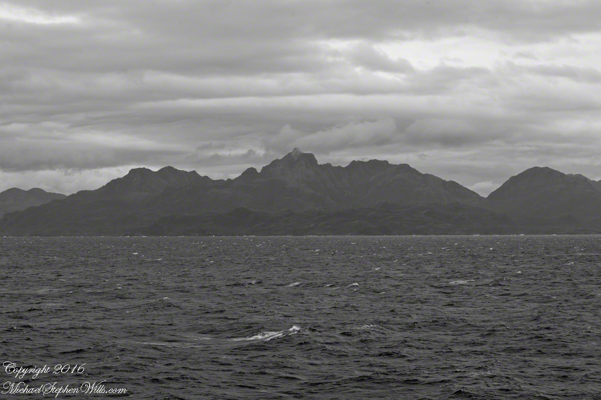
Peaks of Farquhar Island. View east from Messier Channel using long lens. The island is named for Percival Farquhar, American entrepreneur active in South America, mostly Brazil and railroads, 1905 – 1930.
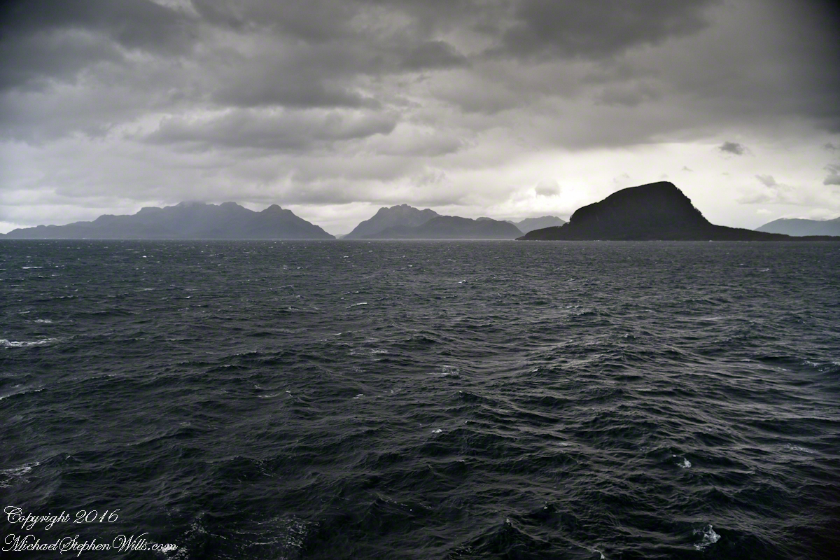
View north from mid-Messier Channel. Nearest on the right is Middle Island with lighthouse Farquhar Island behind with Palmer and Hens points. In the distance is Van Der Meulen island.
Farquhar Channel. View Northeast with Boxer Island, left foreground,Farquhar Island behind.
Tempanos Fjord. View Southeast with Estacion Point and Headland to left. Behind the headland is the entrance to Farquhar Fjord, not visible. Tempanos Fjord is framed by land on both sides.
Islands Sombrero and Zealous In the distance are the crags of Porcia Island separated from Zealous Island, in the foreground, by Canal Cronjé (not visible). Sombrero Island is left, Zealous is the right.
The Gulf of Penas is a sunken bowl of the western side of the southern Andes. Instead of canyons and valleys, fjords surrounded by craggy peaks are the rule. Sailing ships, driven by storms of the western Pacific, found ways through the fjords all the way to the straits of Magellan. This was our route as we entered the Messier Channel, a route discovered in the earliest years of colonial exploration.
Looking back the way we came…..
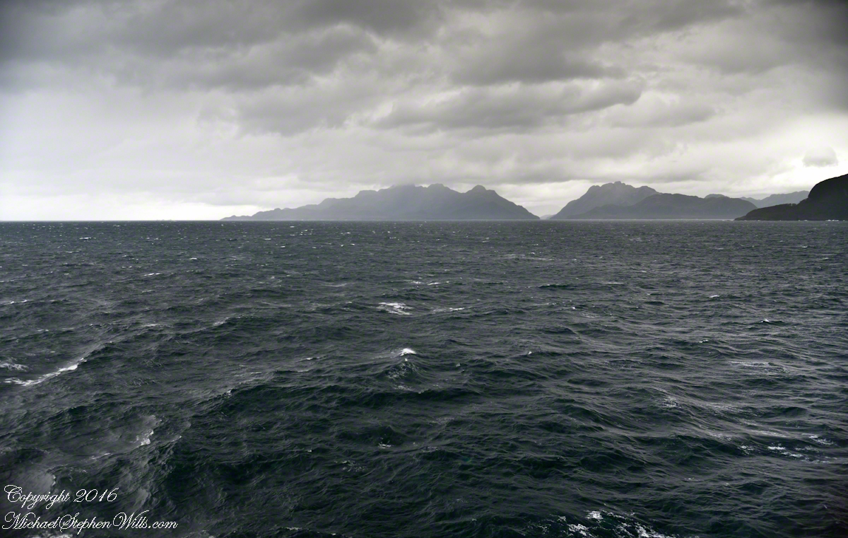
Peninsulas Larenas, Fresia, the Gulf of Penas The view is north-northeast from the entrance of the Messier Channel
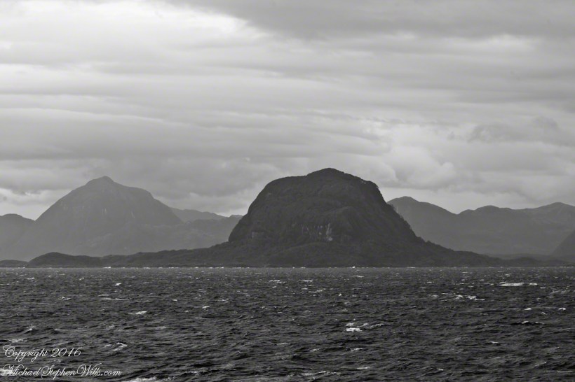
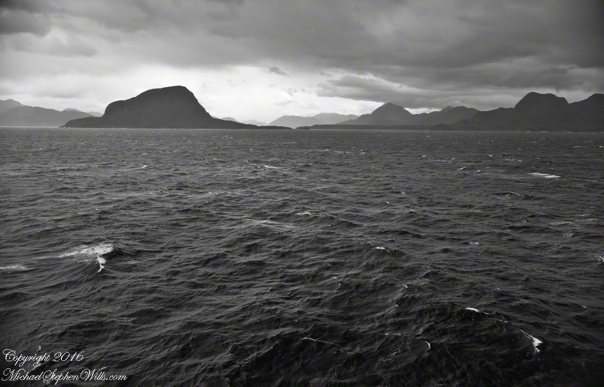
At the mouth of the channel, Zealous and Sombrero are neighboring, and isolated hills. Surrounded by water, they are also islands. Zealous is just under 2,000 feet. Sombrero, at 200 feet, is prominent only for its position and shape.
Here we are crowded by headlands, points, islands all rising steeply from the water.
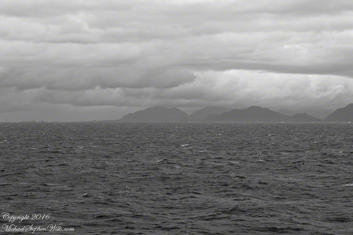
Here I have views of these islands with craggy peninsulas in the distance. The view is to the northeast and east.
Sombrero Island, 200 feet tall, rounded by glacial erosion.Sombrero Island, Peninsulas Larenas and Fresia The entrance to Fjord Eloise is in the distance where the two ridges separate. We are here sailing the Messier Channel.
Copyright 2022 Michael Stephen Wills All Rights Reserved
In English the Gulf of Penas means “Gulf of Distress.” Open to the storms of the western pacific ocean, ships seeking refuge sail this body of water to reach the shelter of the bays around the entrance of the Messier Channel.
Stargazing Chileans named the channel after Charles Messier (1730 – 1870), author of a catalog of 110 visually diffuse celestial objects such as the Great Cluster of Hercules, the Crab Nebula of Taurus, the Ring Nebula of Lyra. As Messier catalog objects these are listed on star charts as M13,M1,M57.
The Larenas and Fresia peninsulas of Aisen Province, Chile, on the southeastern shores of the gulf are seen here as we approach the Messier Channel. The shore is dotted with islets and islands. The Chilean pilot who came aboard at Puerto Chacobuco is earning his salary, keeping us safe. To reach the channel we pass through Tarn Bay, generally north to south. The southern margin of the bay is marked by Sombrero Island, the subject of my next blog.
Larenas Peninsula and Merino IsletsClose-up of the Merino IsletsAyautau IslesThe Northern Patagonian Ice Fields lay to the east and north of these mountains of the Larenas Peninsula.High Ridge of the Larenas PeninsulaLarenas Peninsula High Ridge 2Larenas Peninsula High Ridge Close 3The craggy heights of the Larenas Peninsula are in the rear. On the right are Fresia Point (of the eponymous peninsula) and the entrance to Fjord Eloisa.Larenas Peninsula High Ridge Closer 5
Copyright 2022 Michael Stephen Wills All Rights Reserved
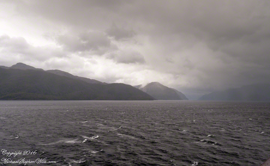
The Gulf of Penas is exposed to the storms of the western pacific. We are here moving from Aisen Region to the Magellan Region of Chile. Also known as Patagonia. This view is the Larenas Peninsula. The Northern Patagonian Ice Fields are on the other side of those mountains, the Southern Andes.
Taken with a Canon EOS 1Ds Mark3, the EF 70-300 f 4-5.6L IS USM lens, tripod mounted on a Manfrotto carbon fiber travel tripod. UV filter 1/160 second at f 6.3 ISO 250.
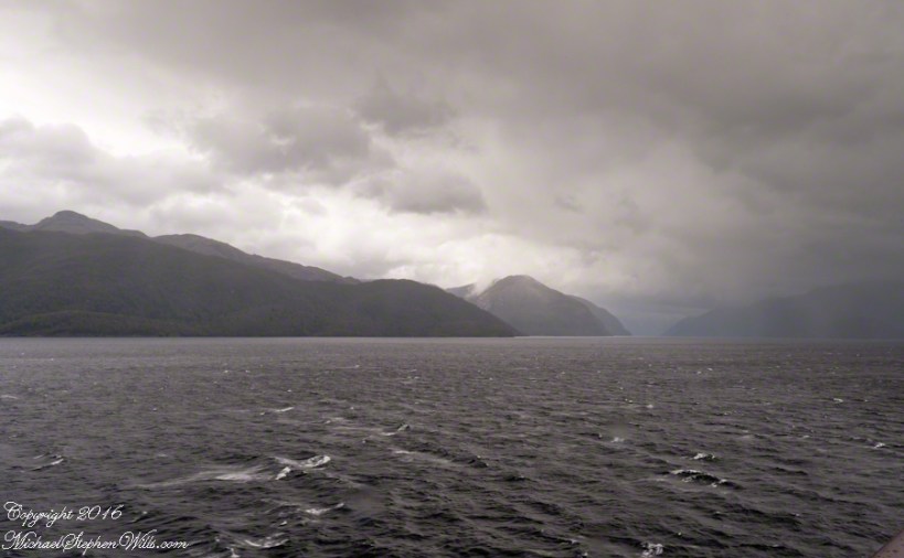
There is a steady wind of about 12 mph driving a few white caps. A line of surf is seen breaking against the cliffs. Shot midmorning from our stateroom terrace as the Regatta cruises south, February 17, 2016. We are headed to an encounter with the Iceberg Glacier of the Southern Ice Fields of Patagonia.
Photography conditions were poor: shooting into the sun from an unstable platform gives poor contrast for the mountain crags. The stabilization of the Canon lens was helpful and I balanced the need for a short exposure with the lowest ISO possible. No time to experiment.
Copyright 2022 Michael Stephen Wills All Rights Reserved
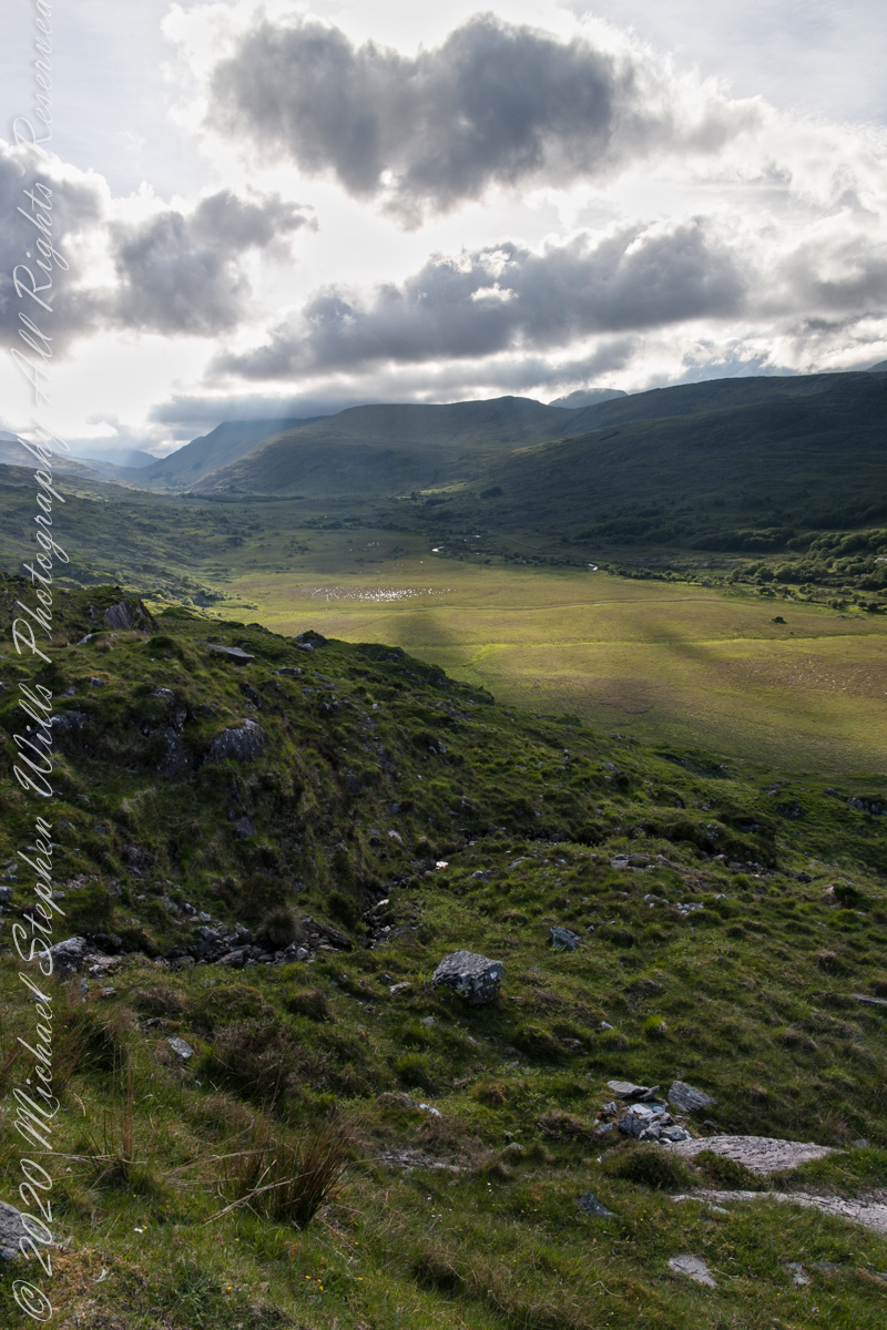
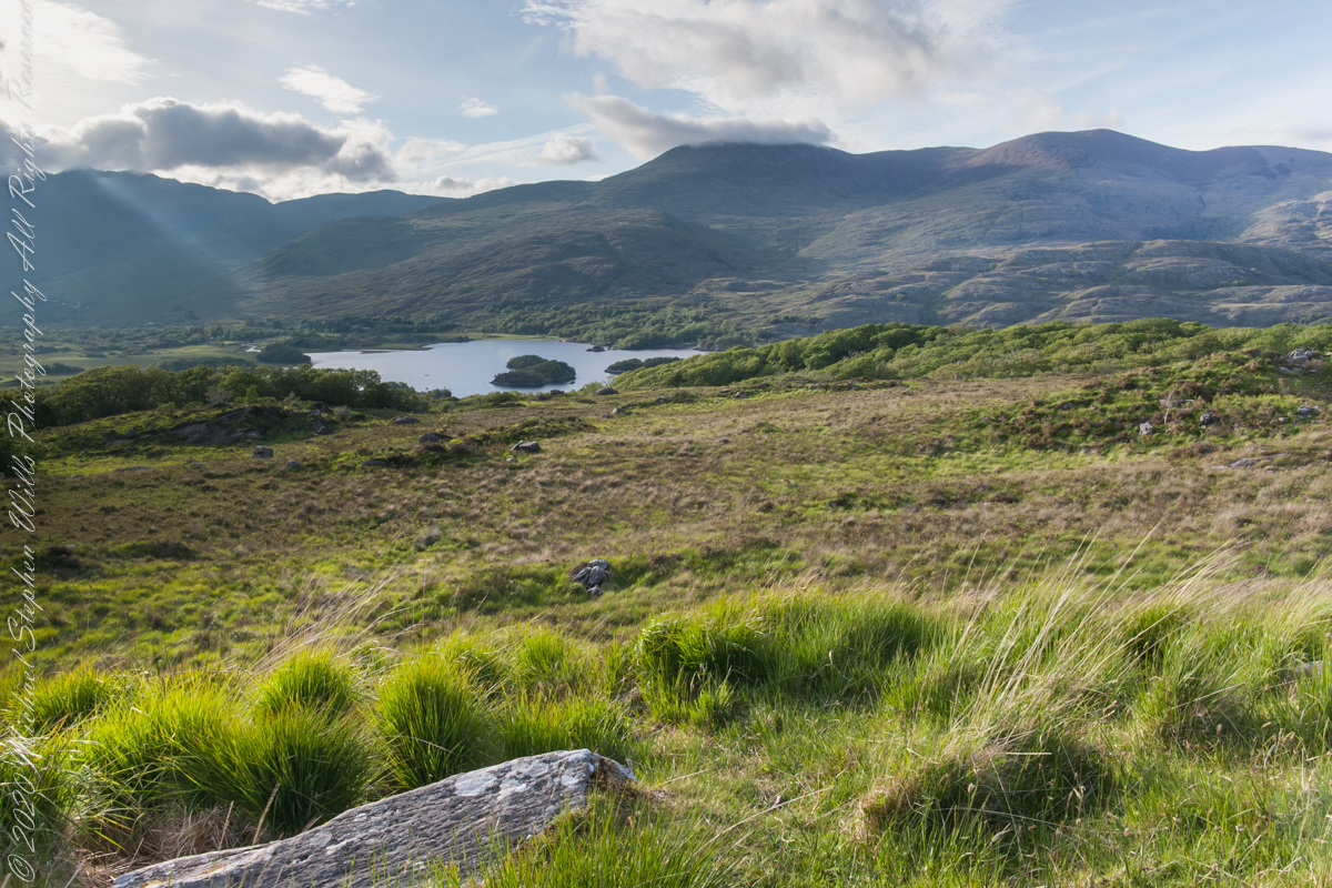
We are near Molls Gap on the Ring of Kerry. At our feet is Eric townland, there’s an eponymous Bog Nature Reserve down there. At our feet is Eric townland, there’s an eponymous Bog Nature Reserve down there.
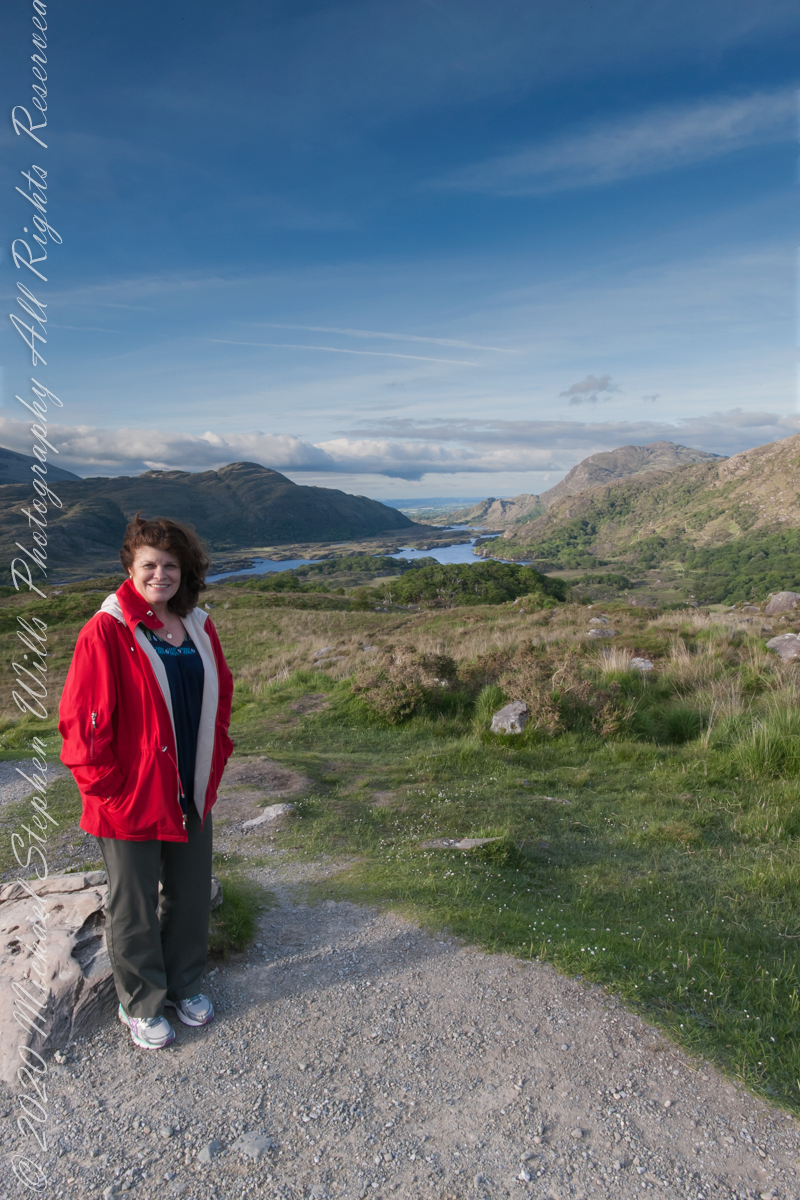
Here we are, on the road from Kenmare to Killarney, N71, part of the Ring of Kerry around the Iveragh Peninsula. The view was celebrated by Queen Victoria’s Ladies-in-Waiting during an 1861 tour of Ireland
Here we are, on the road from Kenmare to Killarney, N71, part of the Ring of Kerry around the Iveragh Peninsula. The view was celebrated by Queen Victoria’s Ladies-in-Waiting during an 1861 tour of Ireland
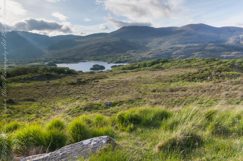
Here the camera, link #9, is turned toward the sun, low in the evening sky, emerging from clouds with a bright sunbeam on Upper Killarney Lake. The previous view was portrait orientation. This is landscape orientation.
Click pic for larger view in a new browser tab. If you are in WordPress Reader, open the post to use this feature.
Ladies View, Killarney National Park, Derrycunihy Townland, County Kerry, Republic of Ireland.
Copyright 2021 Michael Stephen Wills All Rights Reserved
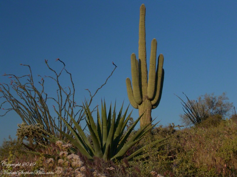
Notable Sonoran Desert Plants, all in the same frame. From the left, back row: staghorn cholla, ocotillo, saguaro. Front row: teddy bear cholla, yucca. I am not certain the greenery to the left of the yucca is brittle bush.
First Water trail head is the most used access point to the Superstition Wilderness, being the closest to Phoenix and its satellite cities and suburbs. For day hikers there are ample and interesting route choices as all foot trails of the west side terminate at First Water making for a variety of loops and incredible views. For horse people there are facilities to park huge trailers.
The ready access from Mesa, where my sister and husband had their home, was the primary reason I planned to finish my cross wilderness hike on the Dutchman Trail. Named for Jacob Waltz of the fabulous legend of the Lost Dutchman mine, the inspiration for The Searcher’s Superstition Wilderness expeditions and, ultimately, why he and I met and my change of plans.
On our ride over from Roosevelt he told of his difficulties building a home in Apache Junction, sleepless nights spent guarding building supplies from thieves. He looked forward to moving day.
This photographic record of five days in the wilderness would be much different without that meeting yet, there I was that afternoon with plenty of time for photography during the golden hours of late afternoon as I wandered the desert gardens until my sister arrived.
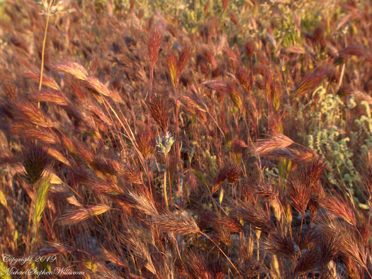
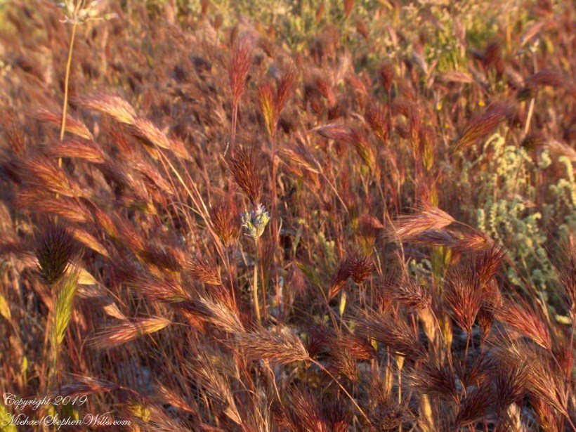
Wild Barley
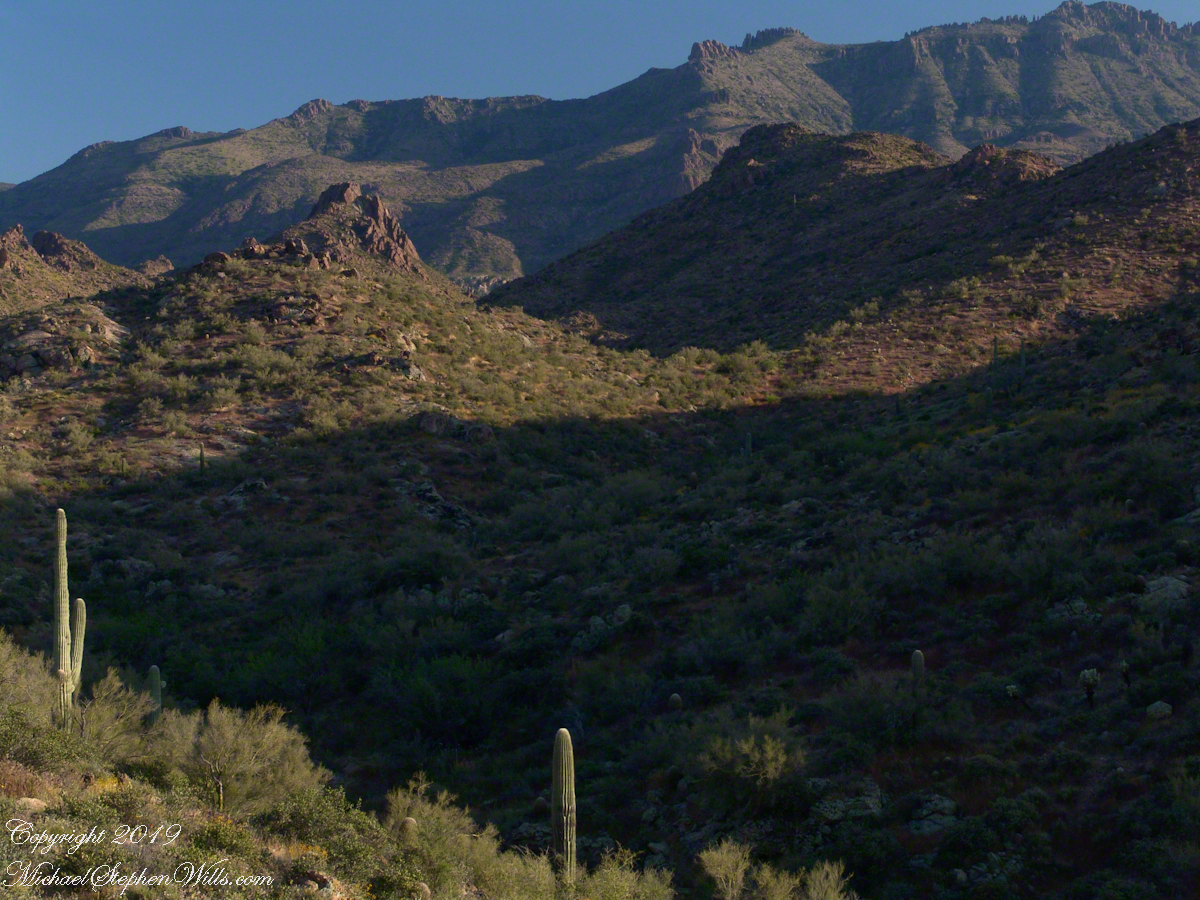
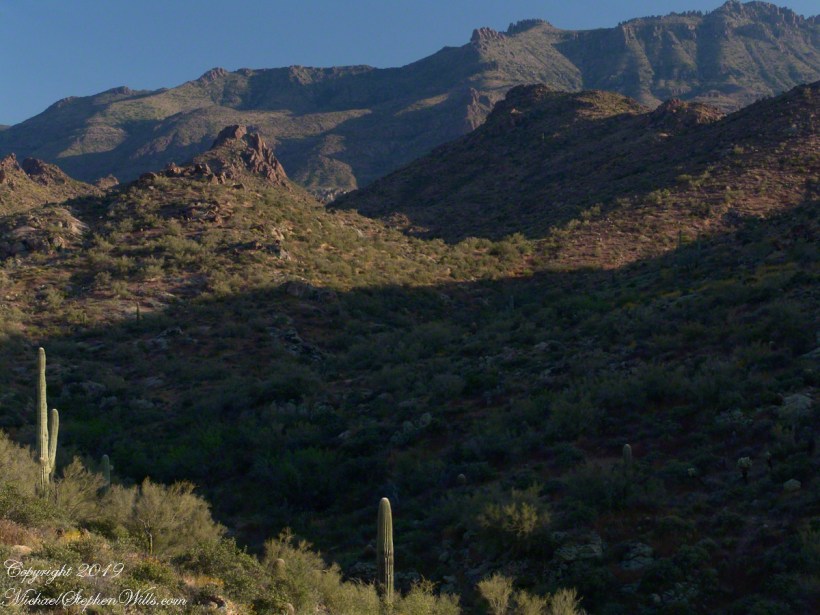
The long distant ridge beyond the rugged near hills is the backbone of the famed “Superstition Mountain.” On the far right are hoodoos, appearing as so many teeth on a jaw. Gorgeous saguaros in the foreground.
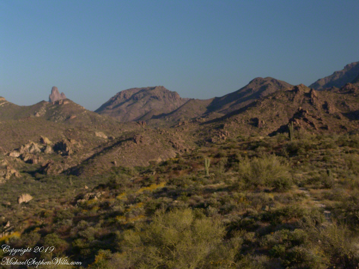
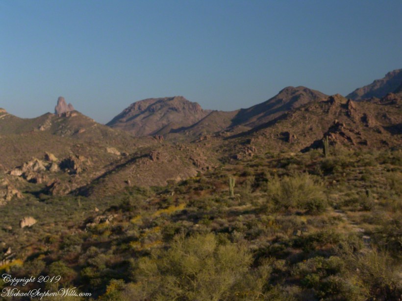
Weavers Needle is the distant peak, 5.5 dry miles away in this view to the west / southwest.
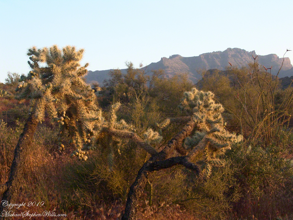
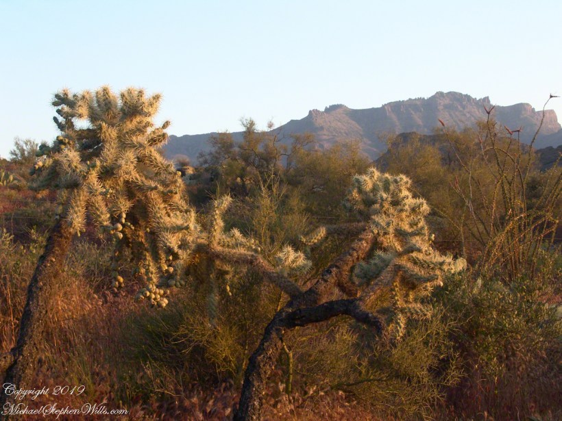
I’ve always been partial to how the dense spines of cactus catch the evening light. These staghorn chollas are in front of the same ridge of the Superstition Mountain. A famous formation, “The Flatiron” is visible on the far right.
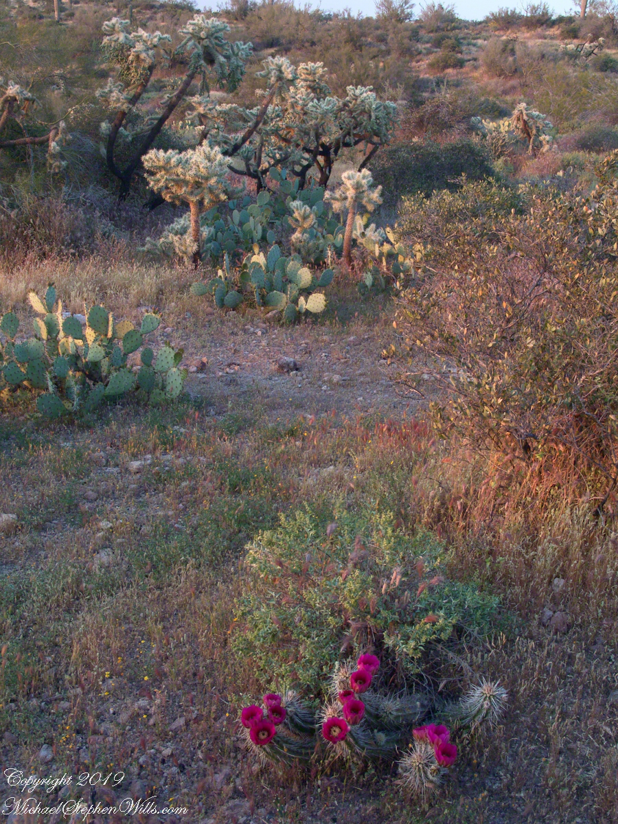
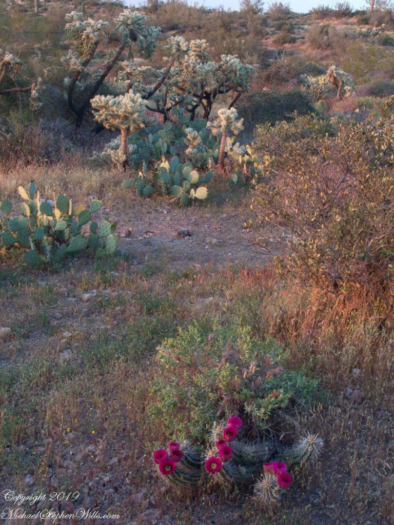
The road to the trail head, Service Road 78, winds through 2.6 miles of hills. Here is another overview of Sonoran desert life.
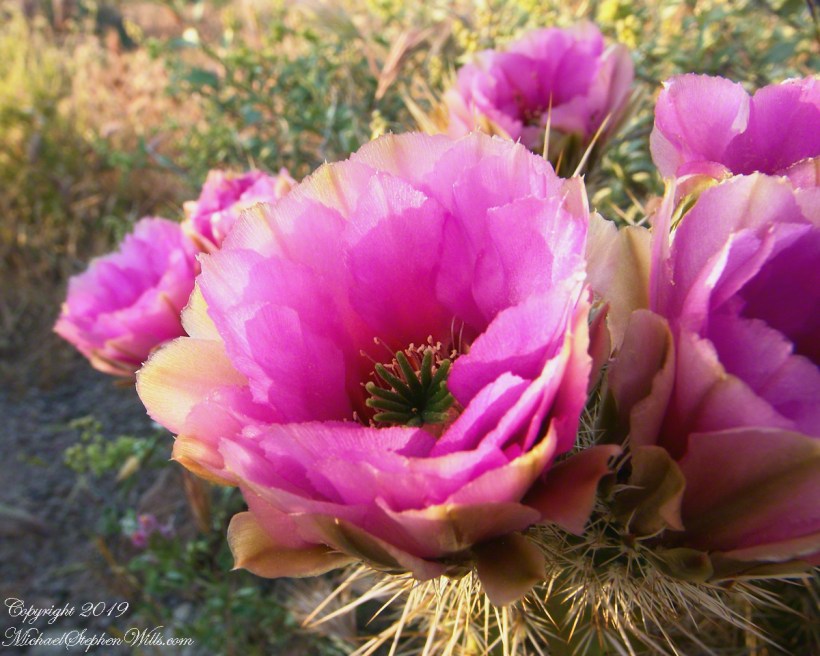
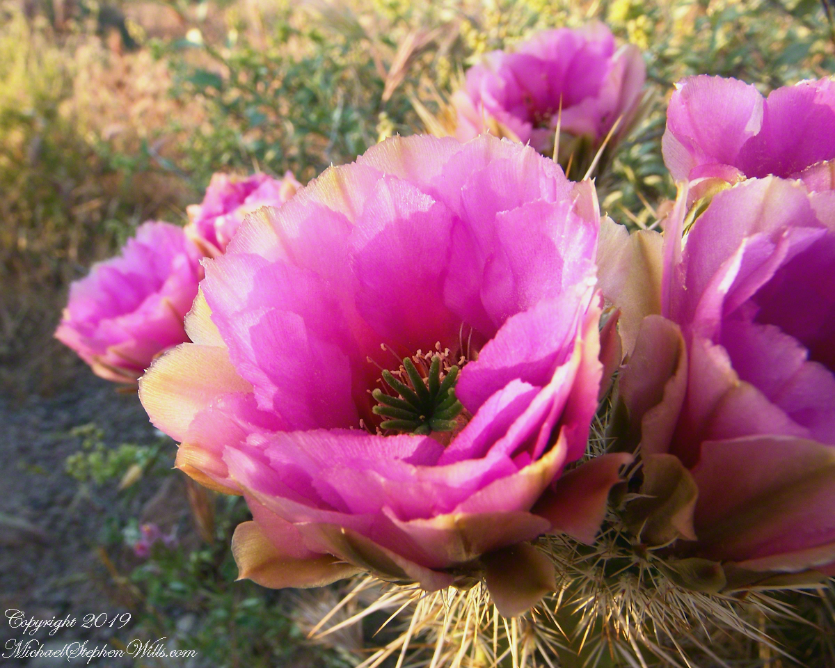
You might remember hedgehog cactus blossoms from my posting “A Dry Piece of Paradise”. The following are from the large hedgehog cactus in the foreground of the preceding photograph.
Future Plans
During the drive back with my sister, Diane, we talked of plans for returning to the Reavis Ranch together, as a backpack expedition. In coming days I met with The Searcher to explore possibilities for a horse expedition and, three years later, these plans came together for a trip kicked off from this same First Water trail head.
Hedgehog Cactus Blooms
Here is a gallery of the same photos. It is fun to flip back and forth with me disappearing from the scene.
It is possible to walk the distant ridge starting from Lost Dutchman State Park. Hoodoos are visible on the right side.
Weaver’s Needle is visible above the near hills. the First Water trail traverses this desert.
Ocotillo, yucca and saguaro. Two types of cholla cactus are also visible.
Also known as Teddy Bear Cholla. Hoodoos are visible on the distant ridge.