Pitch Pine Forest III

Road to Batsto

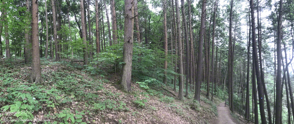
Leaving the jeep on the west side of Quaker Bridge, I walked over to inspect the structure and poke around the other side, carrying a Canon 5d Mark IV (camera body) / EF 70 – 300 mm f/4-5.6 L IMS (lens), shooting as I walked. My sister Theresa and Maxie, a little white dog, lagged behind taking in the surroundings. Here they are, in shadow, on the west side.

Click pic for larger view in a new browser tab. If you are in WordPress Reader, open the post to use this feature.

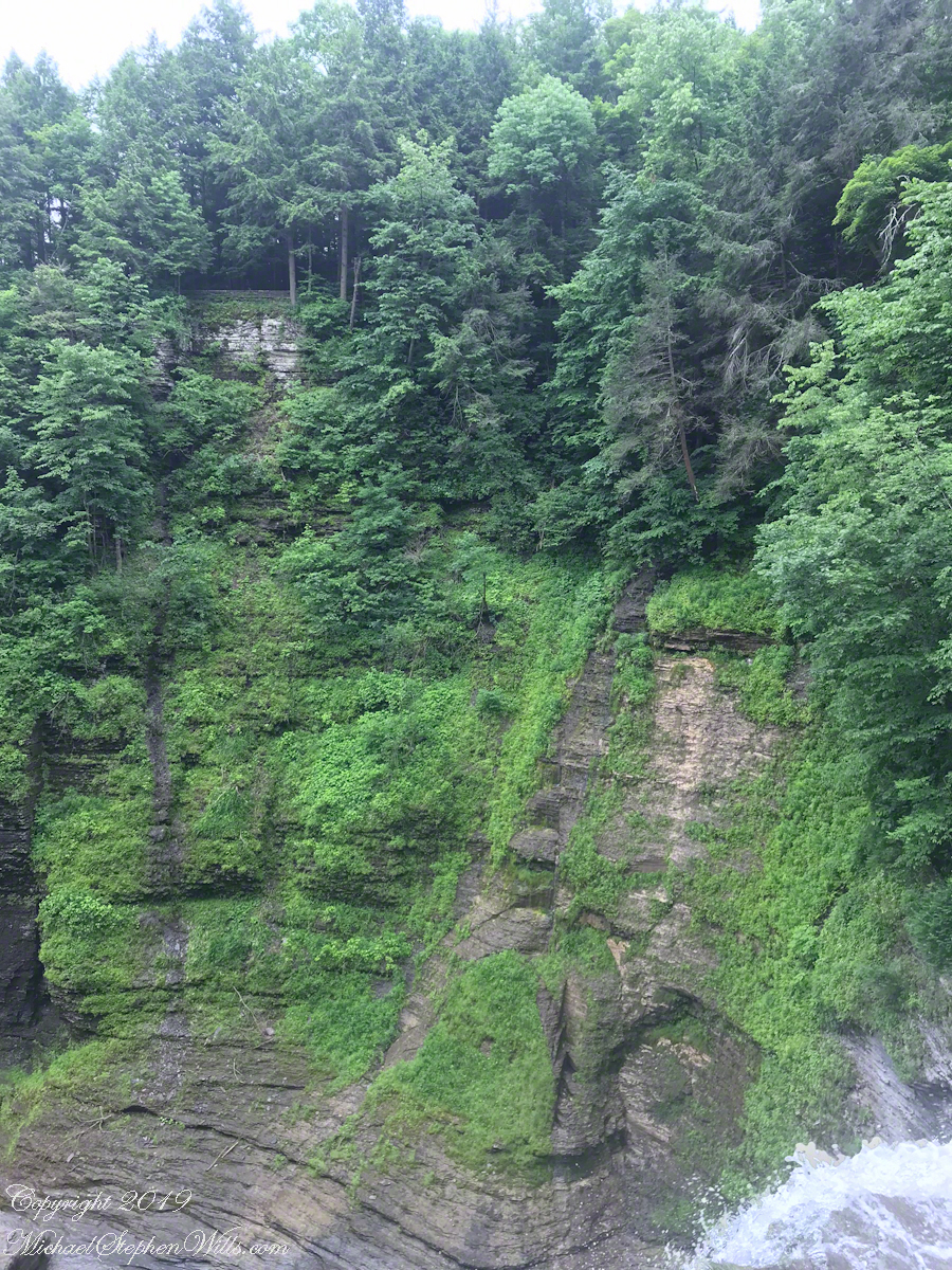
My work on the east side was shared in previous posts, “Pinelands Connections VIII,” I and II “Around Quaker Bridge,” and I and II “Pitch Pine Forest,” work interrupted by the sound of an approaching engine, a Humvee came into view. I waved my arm up and down, a sign to slow down, pulling alongside the driver looked up with dead eyes, no element of recognition of a fellow human, as I explained my sister was on the bridge. A stink of unfamiliar hydrocarbons, diesel fuel?, rose through the heat as they pulled forward with no acknowledgement of my request. Thankfully they slowed down as Theresa, Max in her arms, said, “hi.”

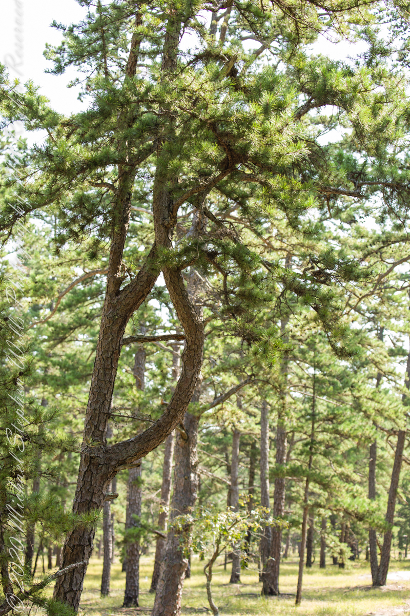
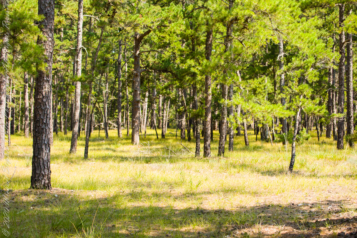
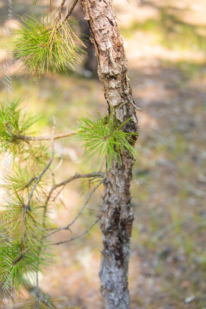
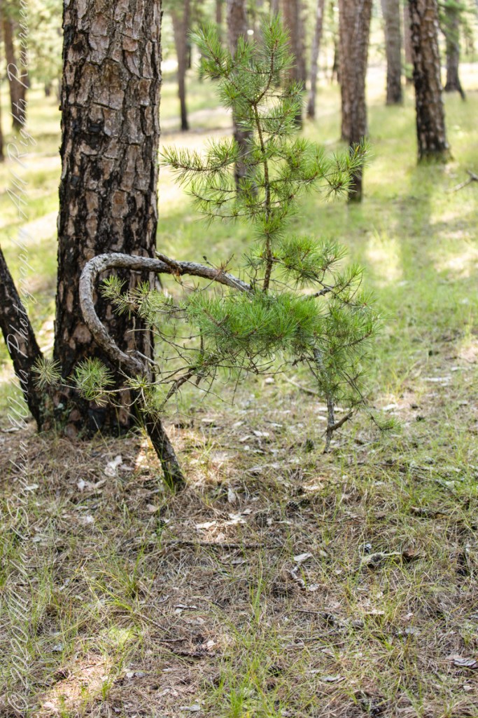
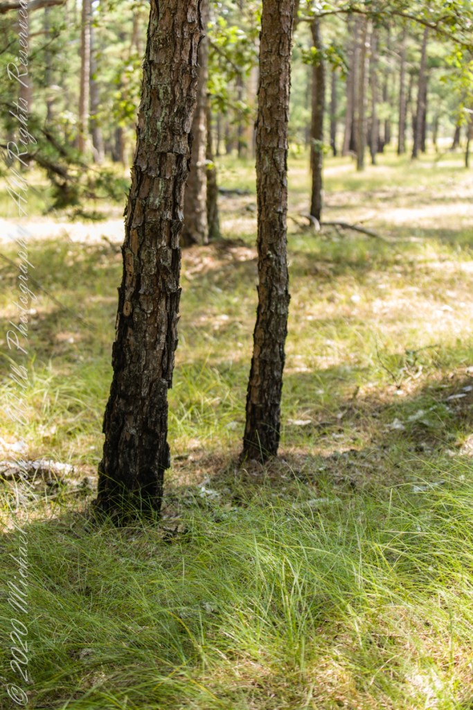
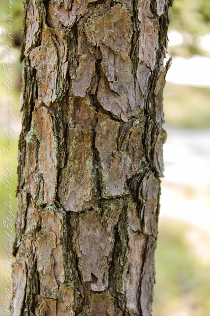
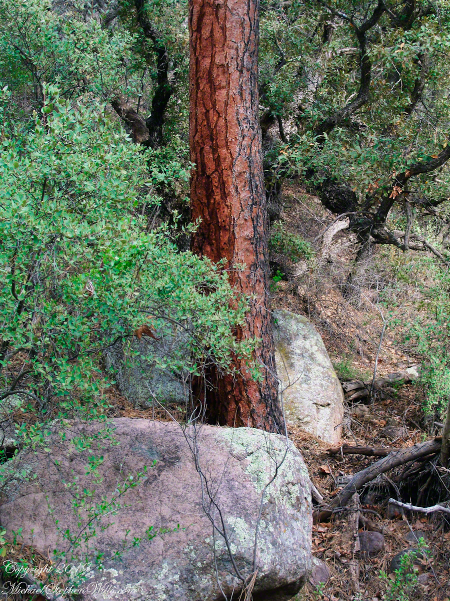
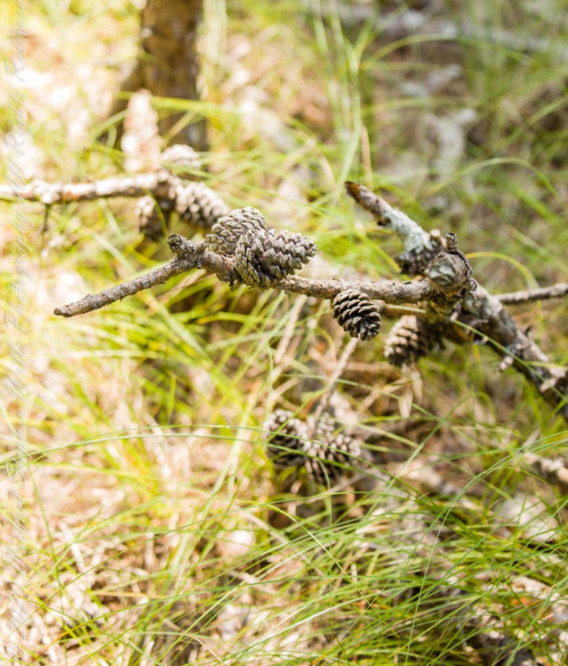
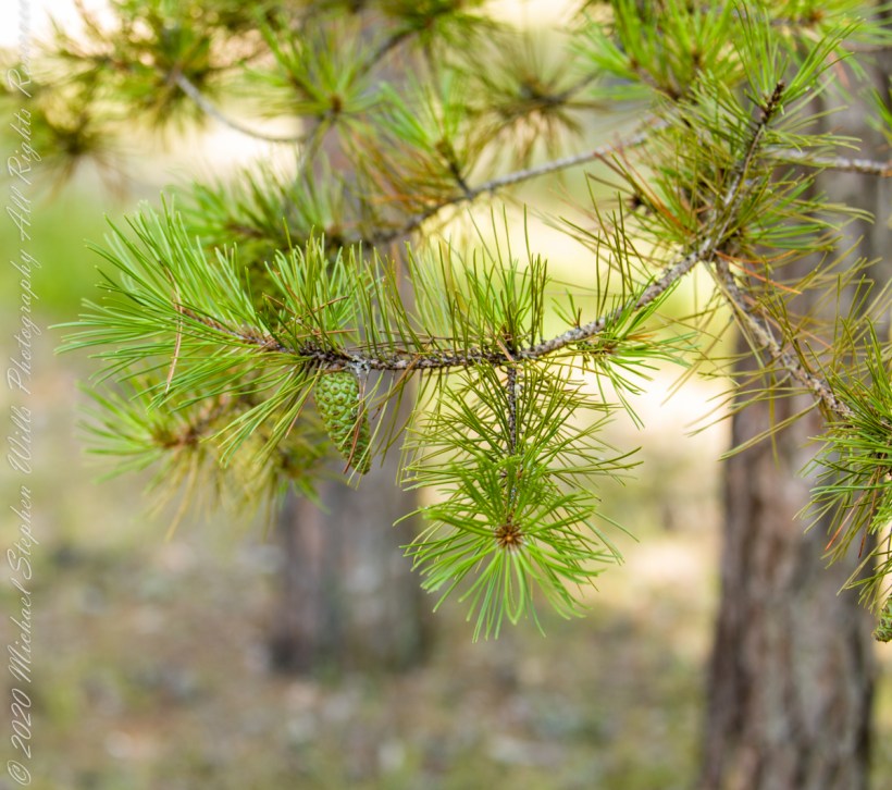
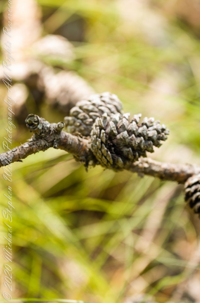
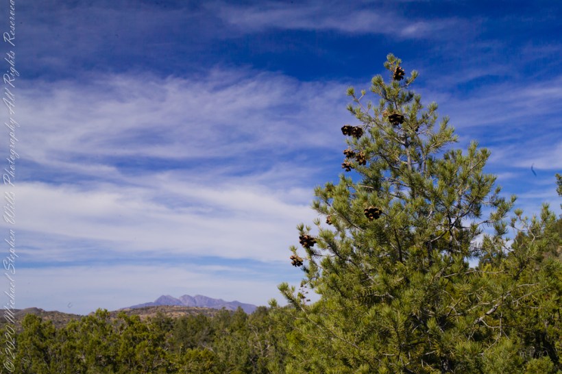
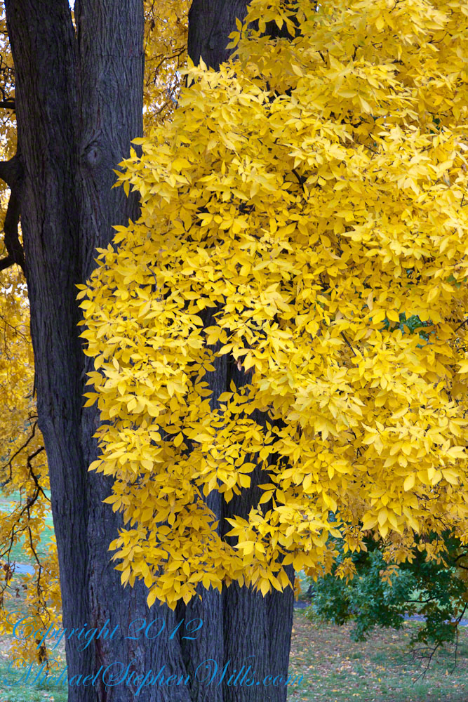
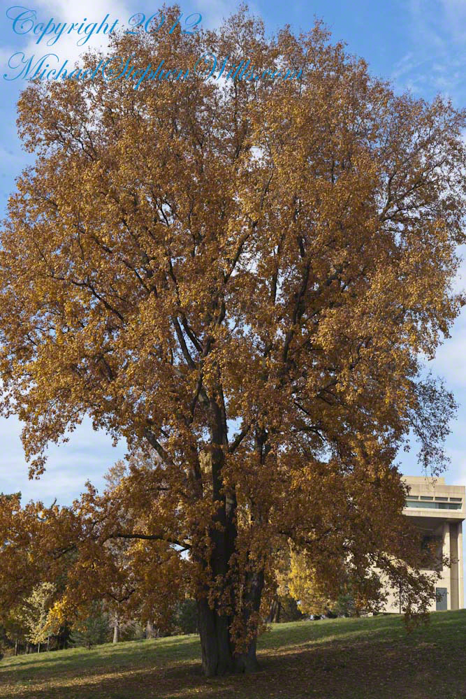
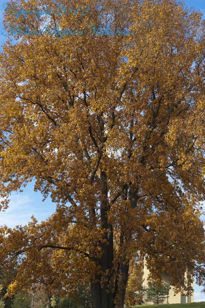
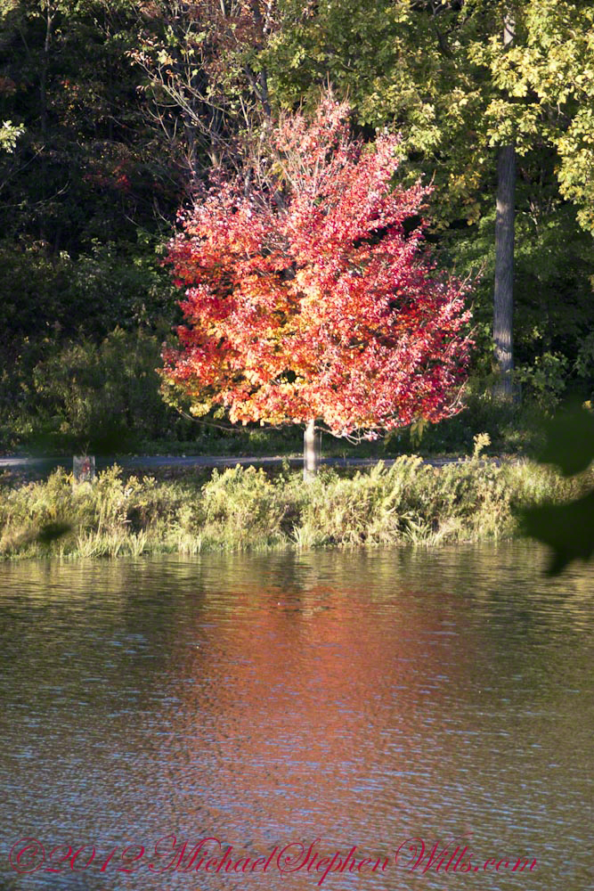
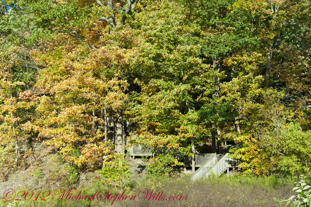
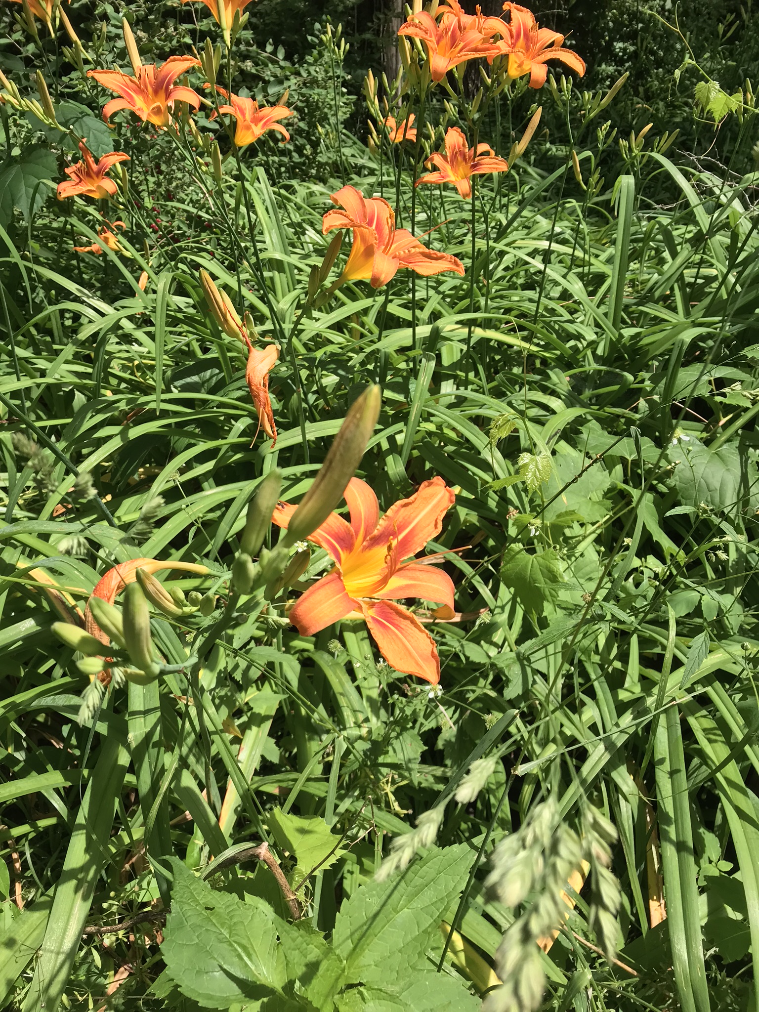
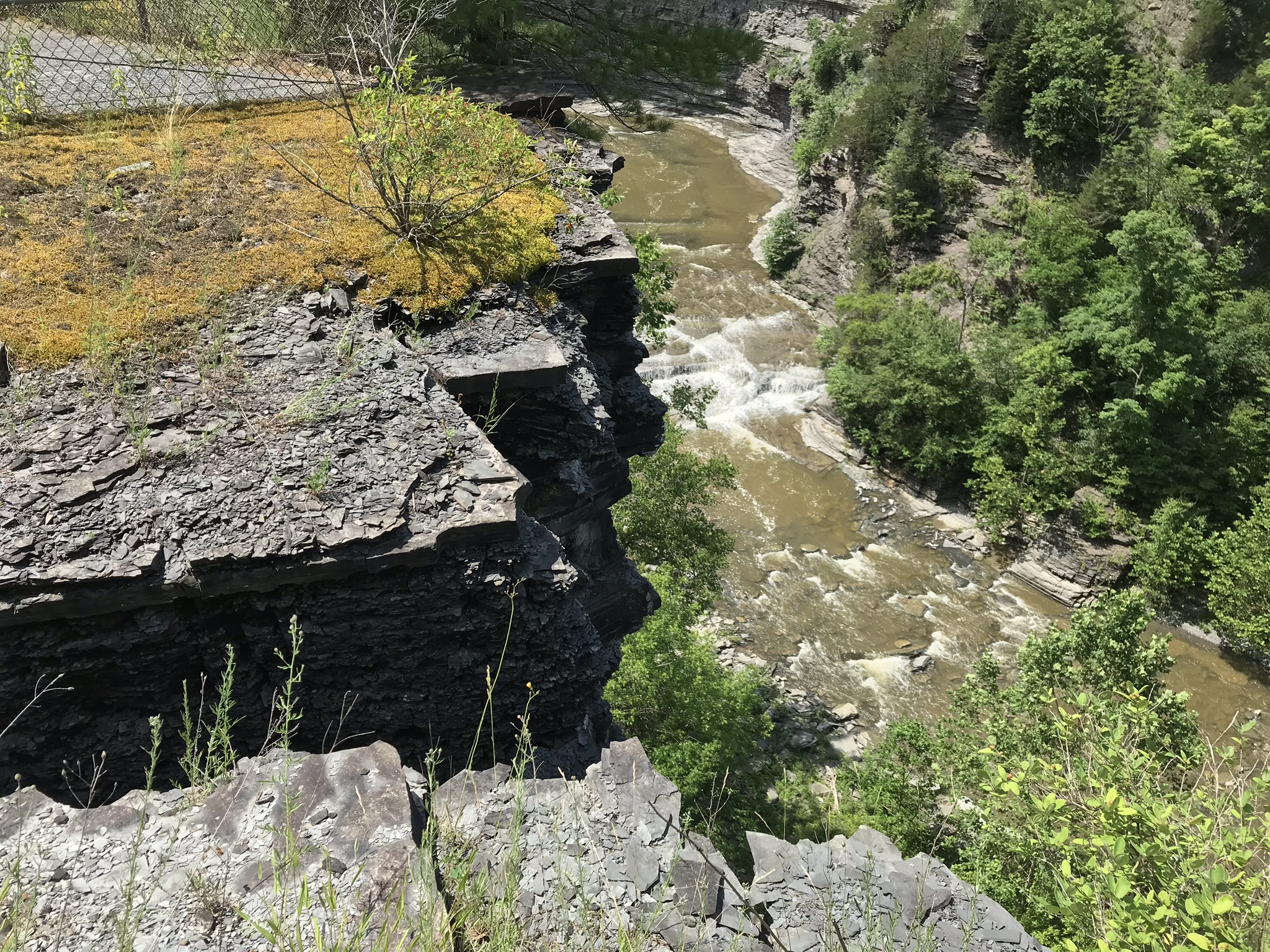
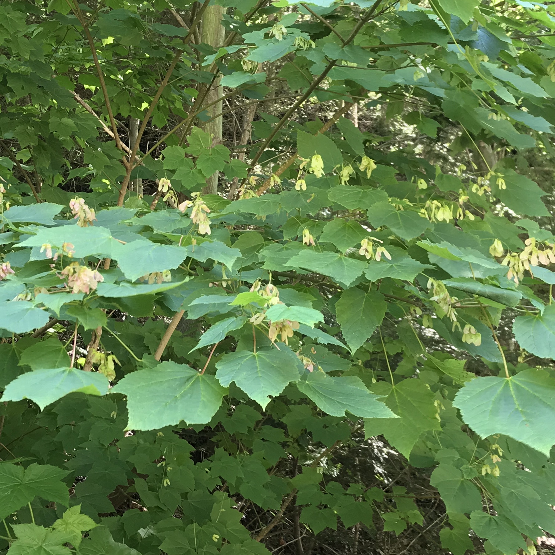
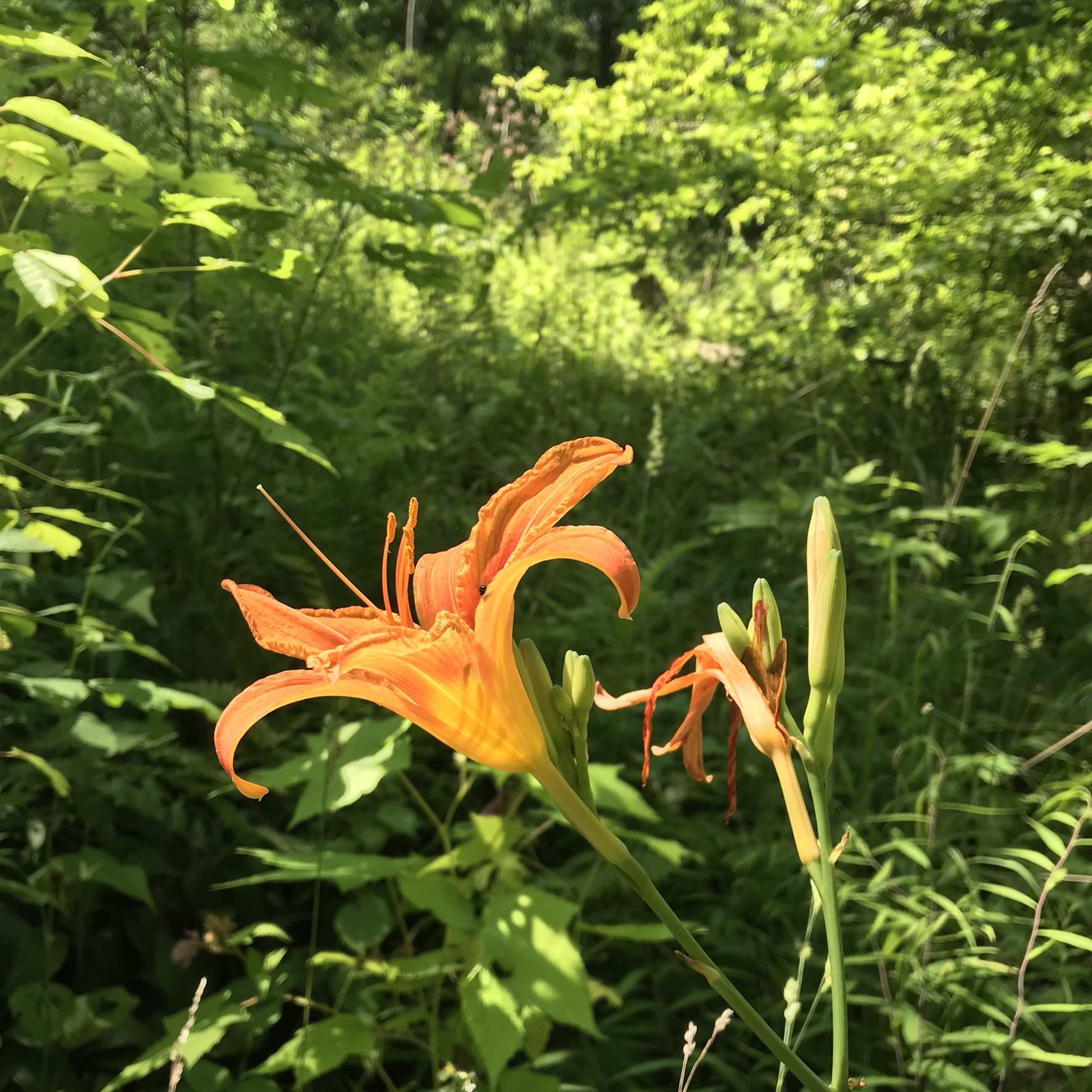
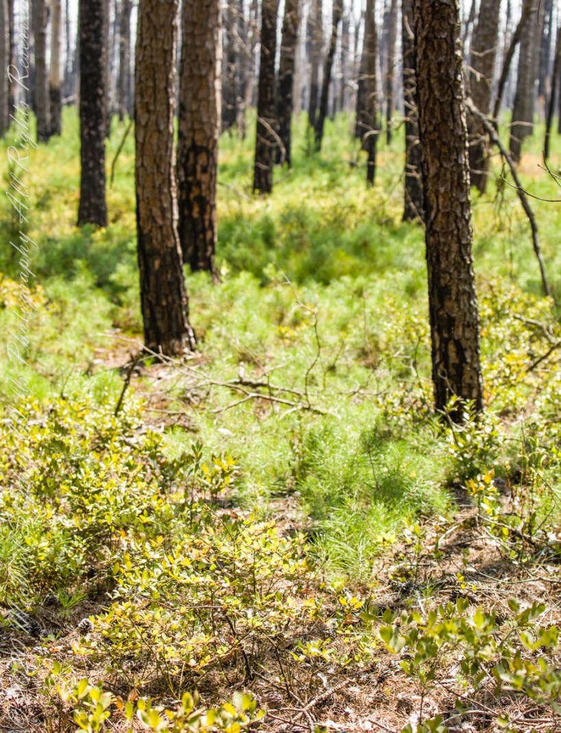
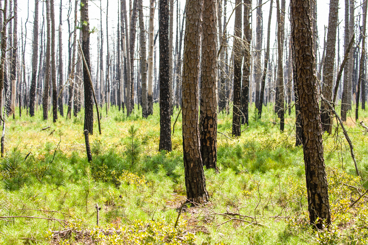
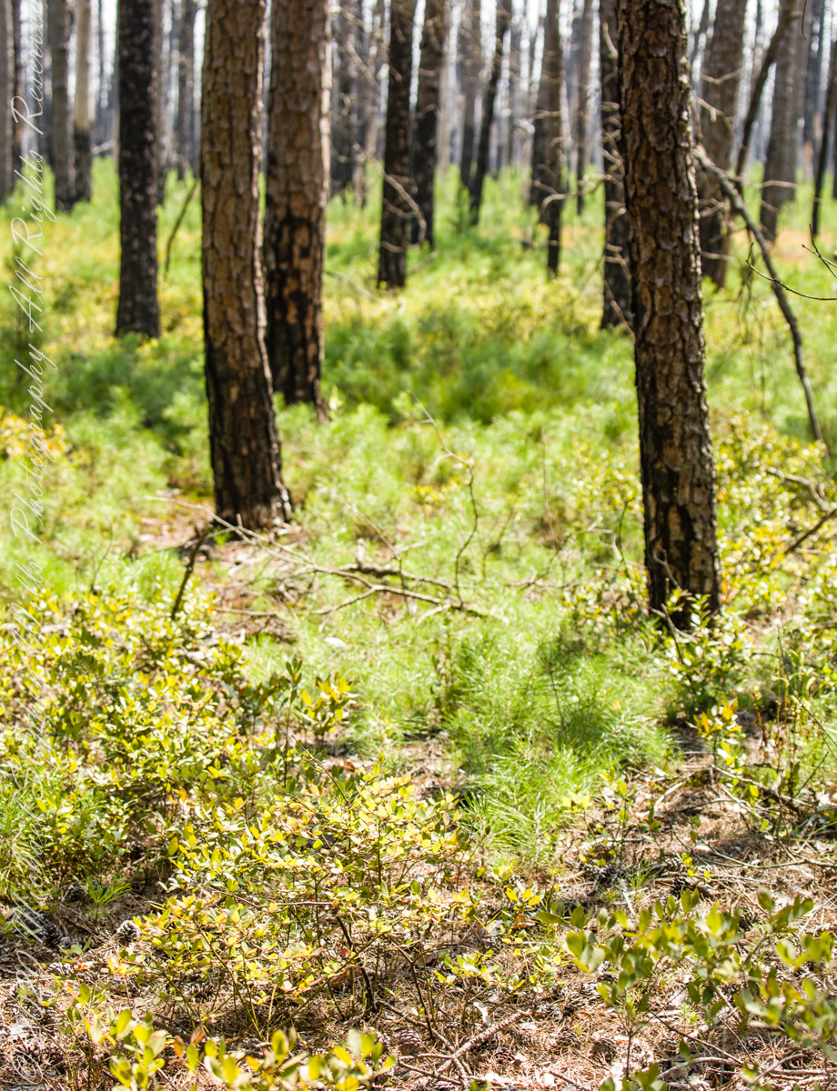
Multiple roads converge from all directions on Quaker Bridge, using GoogleMaps (surprising these unimproved, “jeep” sand roads were listed) I chose Goodwater Road as a route to Batsto Village, on the southern side of Wharton State Forest. The 6.1 mile road follows the east bank of Mullica River at a distance, a very rough passage through ancient Pitch Pine forest. Here are photographs of the enormous capacity of the pines to regrow after fire. Note a thick seeding growth among the mature pine trunks, lower portions fire blackened.

Copyright 2021 Michael Stephen Wills All Rights Reserved

Pitch Pine Forest II

Multiple Lives

These photographs were taken deep in the wilderness of Wharton State forest, near where Quaker Bridge spans the Mullica River.

Click pic for larger view in a new browser tab. If you are in WordPress Reader, open the post to use this feature.

The pitch pine is irregular in shape, in these forests a mature tree typically lives through multiple cycles of fire and regrowth.

Burnt pitch pines often form stunted, twisted trees with multiple trunks as a result of resprouting. Bonsai artists exploit this characteristic for their creations.

Copyright 2021 Michael Stephen Wills All Rights Reserved

Pitch Pine Forest I

The Pinus Genera

The 115,000 acres of Wharton State Forest are predomenantly Pitch Pine, scientific name Pinus Rigida, and AKA Black Pine and Hard Pine. Climb the fire tower of Apple Pie Hill, in all directions will be a sea of these trees interspersed here and there with occasional oaks. Cedars mark water courses. These photographs, unless otherwise identified, were taken deep in the forest, near where Quaker Bridge spans the Mullica River.

A mature Pitch Pine has bark of large, thick, irregular plates, adapted to survive forest first, similar to another member of the Pinus genera, the Ponderosa Pine.

Click pic for larger view in a new browser tab. If you are in WordPress Reader, open the post to use this feature.

Open-growth trees begin bearing cones in as little as three years, with shade-inhabiting pines taking a few years longer. The cones are 4–7 cm (1+1⁄2–2+3⁄4 in) long and oval, with prickles on the scales. Cones take two years to mature. Seed dispersal occurs over the fall and winter.

Unlike the another member of genus Pinus, the Pinyon Pine, the seeds released by Pitch Pine cones are not sought out for human consumption.

Copyright 2021 Michael Stephen Wills All Rights Reserved

Red Near and Far

Yesterday, Pam and I headed to the peneplane behind our home to enjoy the Finger Lakes terrain graced by fall colors.  The day before I noticed the Japanese Maple leaves had turned from maroon to vermillion.  While waiting for Pam to get ready, I capture the following two shots.

Click the link for my Fine Art Photography Galleries
RedNearAndFar-7

This tree was planted by my father and mother in-laws.  Developed over the centuries by the Japanese, specimens reached England in the 1820 and spread from there.  It is not strictly accurate to call the color vermillion, since cinnabar finely ground produces the pigment for which the color is named, when the sun strikes the leaves vermillion is a metaphor for the impression made.

The scientific name for these trees is Acer palmatum with common names Palmate Maple (for the shape of the leaves “like a palm tree”, as for the scientific name), Japanese Maple or Smooth Japanese-Maple (for the bark).

Click the link for my Fine Art Photography Galleries
RedNearAndFar-6

We drove under the clouds, enjoying the rare dramatic shafts of sunlight and I gave up, finally, tying to time my shots.  Here is the view from Connecticut Hill.

RedNearAndFar-1

The previous photos were taken with a hand held Sony Alpha 700 with variable lens.  The next two are with an Apple iPhone I had a hand when Pam and I returned home for a walk around the neighborhood to witness the transformations.

We were surprised by this orange maple, never recalling this shade before.  Like our Japanese Maple were assume it is a non-native ornamental.

Click the link for my Fine Art Photography Galleries
RedNearAndFar-2

Our Japanese Maple is a challenge to capture photographically as it grows beneath a larger “nut” (don’t recall the kind at the moment) tree.  We are working together to improve that, so I don’t have an overall photograph.

Here is our neighbor’s Japanese Maple.  They have a story of carrying this tree, as a sapling, on the bus from Long Island.   I love the impression of dark limbs among the clouds of red foliage. 

RedNearAndFar-3

This photograph (the “far” of the “near and far”) is from a remote corner of Chiricahua National Monument, during the trip mentioned in my post, “History and Ghosts of the Triangle T Ranch”.  To get there, I drove over a mountain pass to a location was featured in an “Arizona Highways” I read long ago.

I call this photograph “Red Dragon,” the formation is known as a “maple “

dragon”, from the long sinuous form of the tree limb.  Known for this reddish orange autumn color, this is a Big Tooth Maple, AKA Canyon Maple.  Scientific Name Acer grandidentatum (as in “big tooth”).  It is a wild specimen, living along the north fork of Cave Creek.  It is a area well know to avid bird watchers and ornithologists.

Click the link for my offering of this photograph in my Fine Art Galleries
RedNearAndFar-8

The camera was my Kodak, DSC slr-c with a Canon 50 mm lens mounted on a tripod.

Copyright 2021 All Rights Reserved Michael Stephen Wills

Autumn Stroll in Sapsucker Woods

a meditaton

On Halloween morning 2004 I set out with a camera upgrade purchased spring of that year, a Sony “Cyber Shot, DSC-F828” with an inexpensive tripod. My photograph “Autumn Stroll in Sapsucker Woods”, the feature photograph and below, achieved prizes with the Photographic Society of American and a few sales of self-produced prints. It was an early success.

Click any photograph to visit my Online Gallery “Finger Lakes Memories.”

It is available on my Finger Lakes Memories online gallery where I provide recommendations for sizing, the best print medium with ideas for frame and matt.

The fall of 2005 I invested in a Kodak DCS Pro dslr-c and a Canon EF 50mm f/1.4 USM lens.  October 30, 2005, one day short of the 2004 Halloween shoot, found me driving down Fall Creek Road on a mission of revisiting Sapsucker Woods to possibly improve upon my offerings.

Over the years, travelling Fall Creek Road on my daily commute, I admired this well formed maple next to a farm field.  At 6:45 am the sun was about this rise, the frost limned grass not yet burned off.  This tree turned a bright yellow, here a green-yellow and dull.  The form of the tree is perfect.  I was never able to catch this at the right moment, it is still there and maybe I can time it this year during a pick-up of my grandson.  If I do, my intention is to climb the fence and use the 24 mm lens to capture the tree and shed with less sky (unless there are some dramatic clouds).  That day, I needed to make time for Sapsucker woods.

On site, thirty minutes later, as the leaves of the Fall Creek Road maple predicted, Sapsucker Woods foliage is behind last year’s by a week or so.  In “Autumn Stroll in Sapsucker Woods” the over story leaves have fallen and the understory is at peak.  Here, I believe the overstory is gone, the understory leaves are yellow-green.

I carefully choose the sites and this one is a risen walk of boards.  In the nine years since, the walk as deteriorated and this scene will be different, possibly.

This is a match for the 2004 photograph as far as the camera position.  What I enjoy from the 2004 version, aside from the foliage, are the details of the fallen leaves taking up the foreground, a carpet filling the field to lead the eye up through the trees, path fading from view to the right.

This effect is not possible on the boardwalk, above.  With the fixed focus 50 mm lens it might be possible with effort.  Today, the 24 mm is my first choice to capture this effect.

Here we can see the leaf carpet is possible, if the f-stop is higher to allow a crisp focus.  In this scene it is f2 because I happened upon a buck in a daze.  He was just standing there as I headed back to the car.  I did not risk changing out lenses to the telephoto, so I moved forward slowly.

The best I did was this rear view as he looked backward.  Lack of flexibility is a draw back of a fixed-focus lens.

In 2004 my day concluded with Robert Treman State Park.  In 2005 the 50 mm fixed focus with a ND filter and tripod was in its element.  The sun is higher and overcast, one background tree is a peak foliage.  The moderate water flow and stair complete the effect.  This was my best work of that day.  I need to get this up on the “Finger Lakes Memories” gallery.

Other postings of interest. Click the link to go there.
“Last Sunlight” — the Gorge Waterfall
“Autumn Evening Hike Part 1 of 3”
Copyright 2018 Michael Stephen Wills All Rights Reserved

Antique Silo Apple Harvest

A Bumper Apple Crop

More from the day Pam and I walked up the hill from our Malloryville Mill House.

The setting sun works its magic on a century plus maple tree on an esker bank.  The glaciers deposited this esker, under the tree, when waters from the melting flowed under the ice to carve a tunnel later filled with glacier debris.

Click any photograph to visit my Online Gallery “Finger Lakes Memories.”

The light brings out the beauty of two this pair of silos from the early 20th century abutting an abandoned barn and active cornfields.

Pam is using my first camera, a Sony Mavica.  It writes to a 4.5″ disk that limits the number of exposures and I carried a number of the disks.  It has a decent variable lens.  We still have that camera.  These photos are from my Sony dslr Apha700 with a variable lens.

At that time, our three apple trees gave a bountiful harvest.  We spent two days making and canning apple sauce.  For some batches we’d grind in blackberries or concord grapes.  We enjoyed the work over the next year.  Our grandchildren loved that stuff.

These apples hung from a tree of the farm house next to the abandoned barn.  A young family lived there, their toddler daughter recognized us from other walks and came over for a “hello”.

Other postings this Harvest View evening.  Click the link to go there.
“Celestial Geese”
“Harvest Views”
Copyright 2018 Michael Stephen Wills All Rights Reserved

Libe Slope Autumn

A Magnificent Display

Libe Slope

Libe Slope is between the West Campus and Quadrangle / Libraries.

Click to view my Finger Lakes Memory gallery
Cornell University is on a west-facing hill above Cayuga lake.

Besides the exercise of walking the 18 degree incline several times each day, Cornell students and alumni remember The Slope for autumn color.


Wonderful Flow of Limbs among Gold

Click to view my Finger Lakes Memory gallery

Hickory

Seen from the north on a cloudy October day, this Pignut Hickory (Carya glabra) is the largest tree on the Cornell Campus, at 79 inches in diameter.

Click to view my Finger Lakes Memory gallery
Cornell University is on a west-facing hill above Cayuga lake.

Take another look at the previous image. Can you find the grey squirrel? This hickory grows south of the Johnson Museum and among the autumn glories, it is the largest and brightest yellow canopy on Libe Slope.

Contrast

An overcast day is the best to capture this spectacle. October 20, 2012 provided both bright sun and dark, rolling autumn clouds. I waited on the north side, sheltered from the glare of the sky, for these perfect moments.

Click to view my Finger Lakes Memory gallery
I remember this hickory for the contrast between the canopy and trunk, the way the clumps of yellow hang from dark boughs.

The pignut hickory is native to these Eastern United States. It is known to favor moist slopes and this specimen has thrived on The Slope. The ground beneath it is thick with nuts.

Click to view my Finger Lakes Memory gallery

One week later

Just one week later, late afternoon on a sunny Friday as hurricane Sandy approached the east coast the hickory has fewer, tawny golden leaves.

Copyright 2021 Michael Stephen Wills All Rights Reserved

A Perfect Afternoon On Beebee Lake

Anticipating Our Tenth Wedding Anniversary

After work on a 2008 Friday afternoon in October we sped over to Beebee Lake on the Cornell University Campus to catch the late afternoon glow.

Beebe Lake is formed by a dam on Fall Creek.  It seems to be the flooded meadow it is, surrounded by hills formed by glaciers 10,000 years ago.  Cornell maintains footpaths around the lake.

People say that if a couple walk the a mile around the lake and over a bridge at either end, they are destined to be married.  This day we passed only joggers and families.  Pam and I will celebrated our tenth anniversary March 2019, so the legend worked for us.

Here are four snapshots from that time, presented in chronological order. Each is a handheld shot taken on the fly using my Sony Alpha 700 I use for exploratory photography.

Click any photograph to view my Finger Lakes Memory gallery
A terraced stair descends to the east side meadow to south lake shore path

I walked down a path trod by Canadian geese to reach a clear view of the water.

View of Helen Newman Hall

Lily pads and iris fronds grow along the bank. 

Evening sunlight reflected from smooth water crests driven by a steady light wind

Being on the west side of the lake, the dam is bathed in golden autumn light.  

The Dam That Forms Beebee Lake

On top the hill, not visible behind the trees, above the opposite bank is Fuertes Observatory.  We visited it this night, opened to the public as it is on all clear Friday nights while classes are running.

Copyright 2021 Michael Stephen Wills All Rights Reserved

A Summer Flower and Waterfalls

A personal discovery of the namesake of an Ithaca restaurant

Travelling light, using IPhone captures during a 4.6 mile walk on the Gorge and North and South Rim Trails of Taughannock Falls New York State Park, Finger Lakes Region near Ithaca, New York. A few waterfalls and sights along the way. Distance is from the “Health” app on my phone.

A “Rim Trail” follows the edge of the gorge. The “Gorge Trail” is within the gorge, along side the creek and ends at the 200+ foot waterfall.

This was the day Tiger Lilies bloomed along the roads the entire 13 miles. This stand was at the beginning of the South Rim trail.

A few steps farther the trail opens up to the expanse of the gorge above the waterfall, a place to contemplate the age of these rock gazing into the open space. There is no access to the bottom of the gorge here.

On days like this, the experience carries me away, enjoying the moments and forgetting the phone in my pocket. When I come to, it is the bottom of the South Rim trail at the entrance to the Gorge Trail and the hordes walking to the falls on a Sunday afternoon. This waterfall welcomes everyone at the beginning.

The vantages I choose usually exclude the crowds, here is a video of the observation platform beneath the 215 foot Taughannock Falls. Any closer and the camera lens is covered with mist. Feels great on this hot day.

I capture this tree growing along the Gorge Trail for later identification. It has fruits similar to a maple tree. Called samaras and also known as helicopters, maple keys, whirlybirds, and polynoses these must distinguish this tree as a member of the genus Acer though the leaf shape gives me doubts. Here the gorge changes direction almost 90 degrees from, generally, north/south to east/west. There is plenty of sunlight here and the tree has taken root in the talus of the cliff face.

I researched it and discovered the scientific name is Acer pensylvanicum and more commonly known as Moosewood. There is a “famous” restaurant in Ithaca, named Moosewood, so now I know there is indeed a tree growing locally by that name. The restaurant is near the commons of Ithaca and is 100% vegetarian. The last time Pam and I at there we were packed like sardines, like some collective, and we’ve never been back. The food is good and the basis of their fame is a cookbook by the same name.

Backlit lilies found on the climb up the North Rim trail.

Click me for a Tiger Lily photograph from my Fine Art Gallery. Click the “View Larger” link for the image.

Along the trail are interesting and informative sheets about the park and surrounding towns. Trumansburg is the nearest village to the park.

Click me for another Waterfall post.
Copyright 2021 All Rights Reserved Michael Stephen Wills

Summer Waterfall Walk

Travelling light, using IPhone captures during a 5.7 mile walk on the Gorge and South Rim Trails of Robert H. Treman New York State Park, Finger Lakes Region near Ithaca, New York. A few waterfalls and sights along the way. Distance is from the “Health” app on my phone.

One of many waterfalls along the Gorge Trail
Looking back to the above waterfall
Enchanted Trail
Birdsong and enchanted place
Bayberry?
The power of flowing water (flood stage)
Click me to learn more about the Purple Flowering Raspberry from my Fine Art Photography Gallery
Purple Flowering Raspberry
Wild Rose
It is good to know where you are
Rim Trail Panorama
Sweep of Lucifer Falls from the Gorge Trail
That is the South Rim Trail Lucifer Falls Overlook, upper left.
Click me for the next post in this series, “A Summer Flower and Waterfalls.
Copyright 2021 All Rights Reserved Michael Stephen Wills