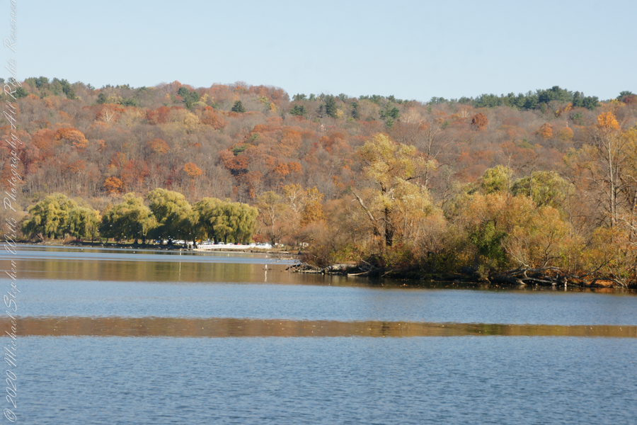
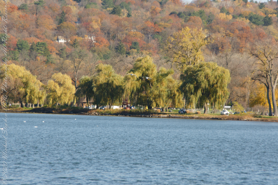
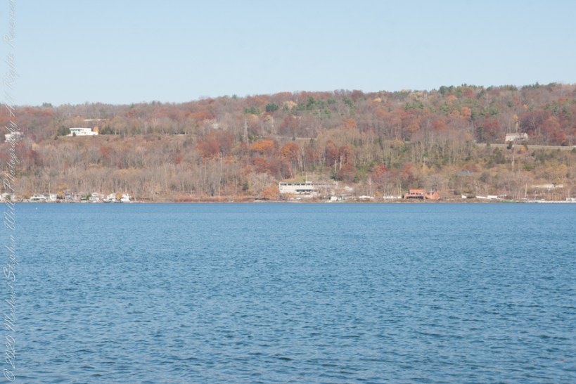
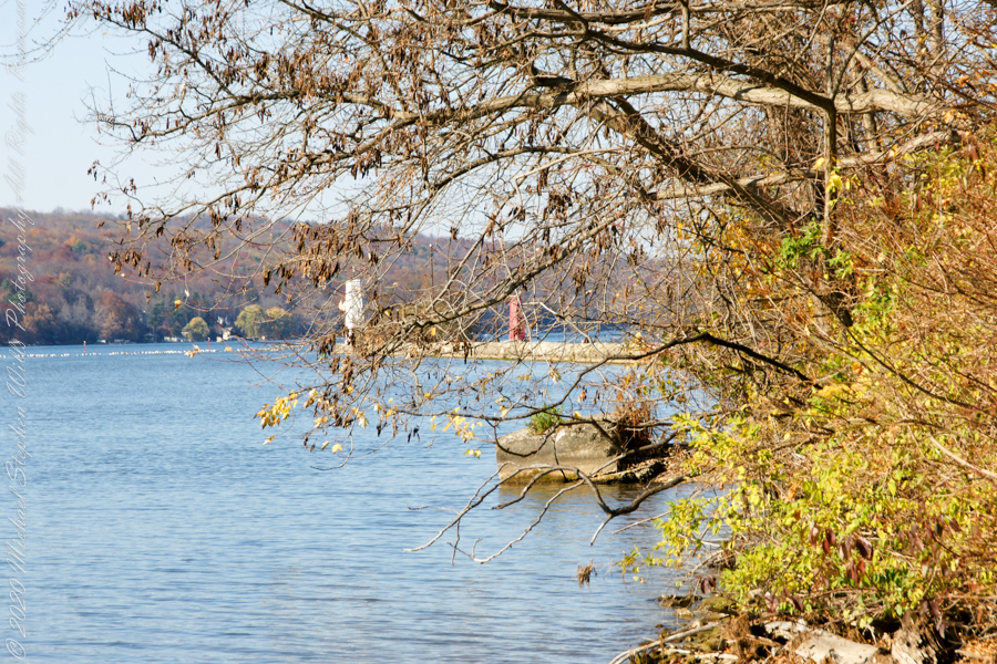
Here is the south end of Cayuga Lake on a bright November afternoon. Stewart Park is enjoyed by Ithacans year round.
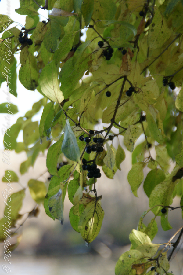
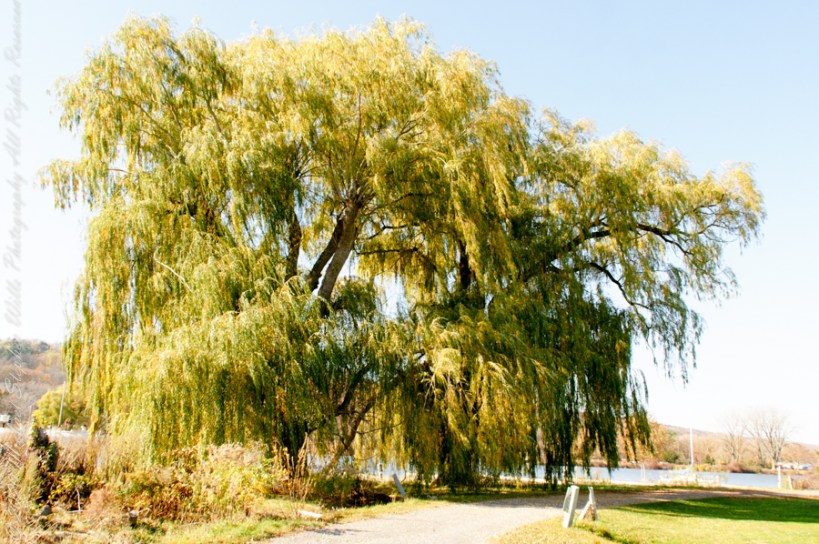
Everyone is a fan of the Willows framing the lake views.
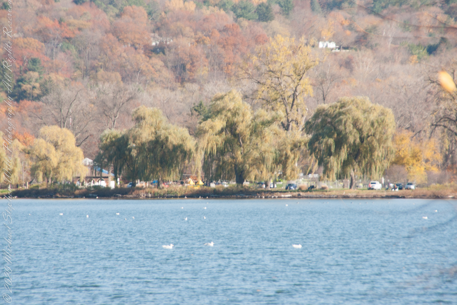
Can’t get enough of Stewart Park..
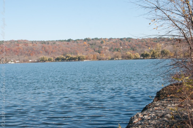
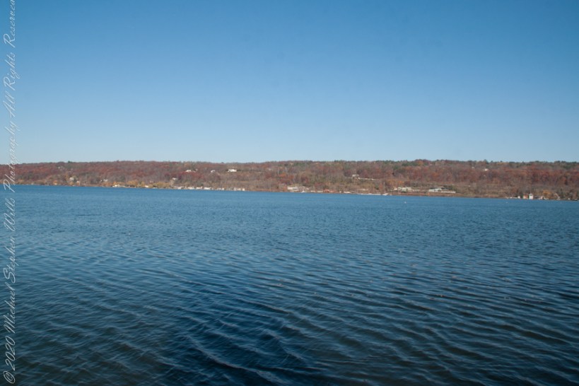
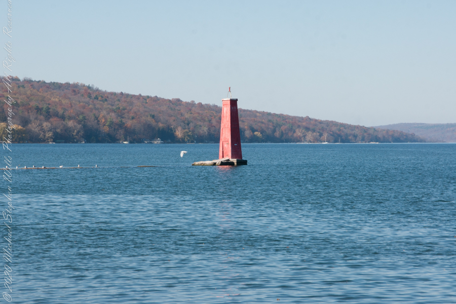
An unzoomed view, to give an idea of the distance across the water.
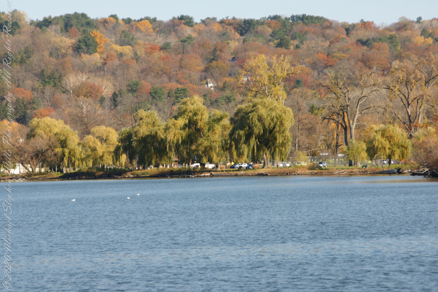
Pam and I have great memories of sailing this stretch from our years of membership in Cornell Family Sailing.
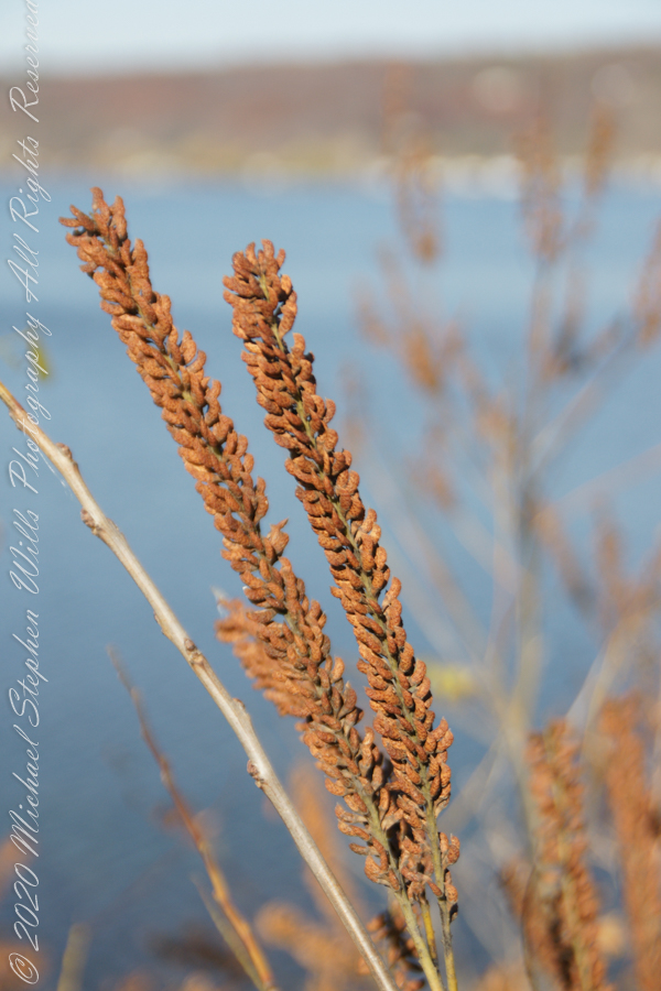
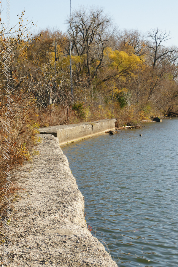
The east lake shore.
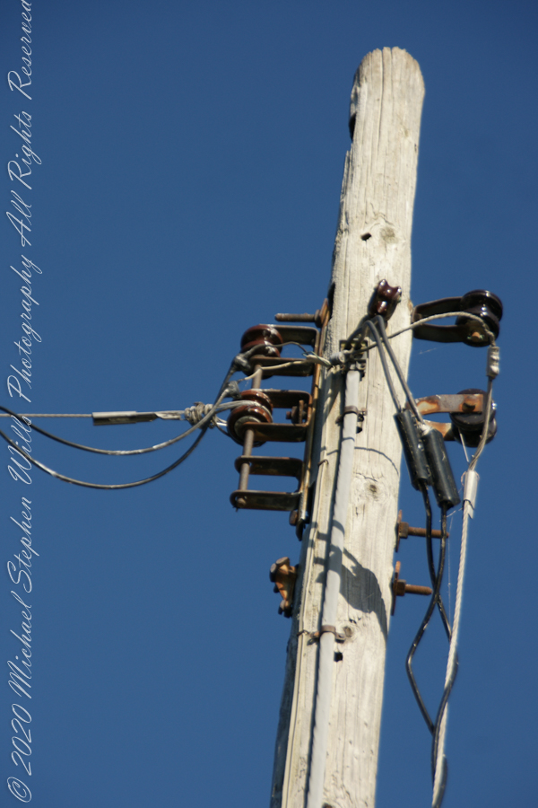
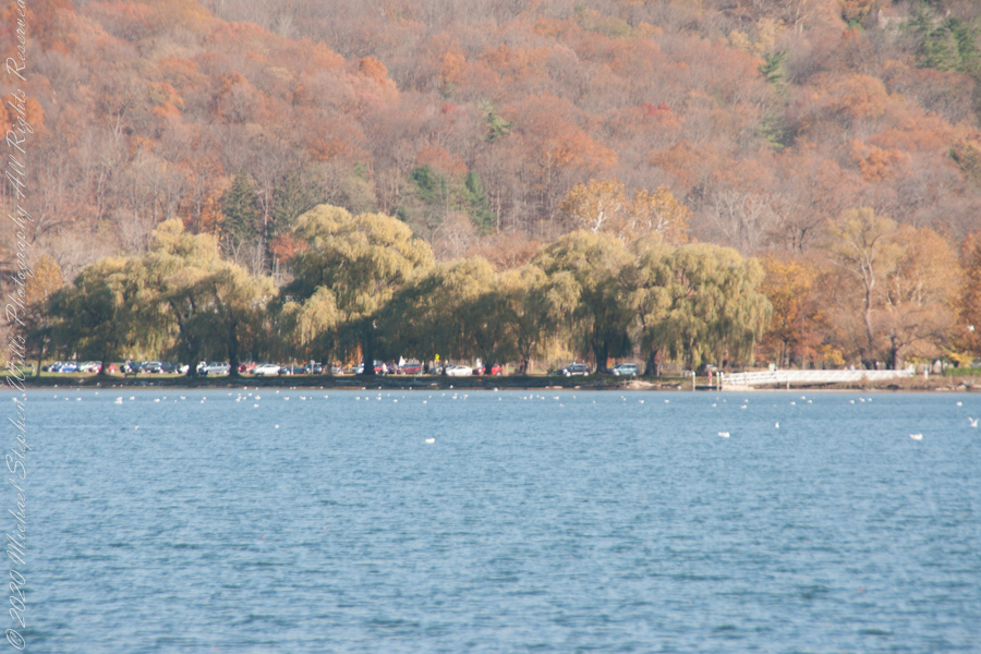
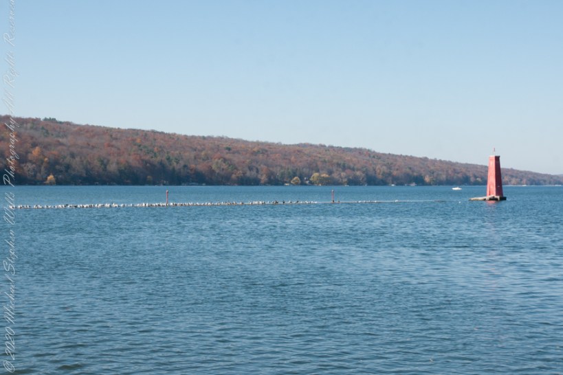
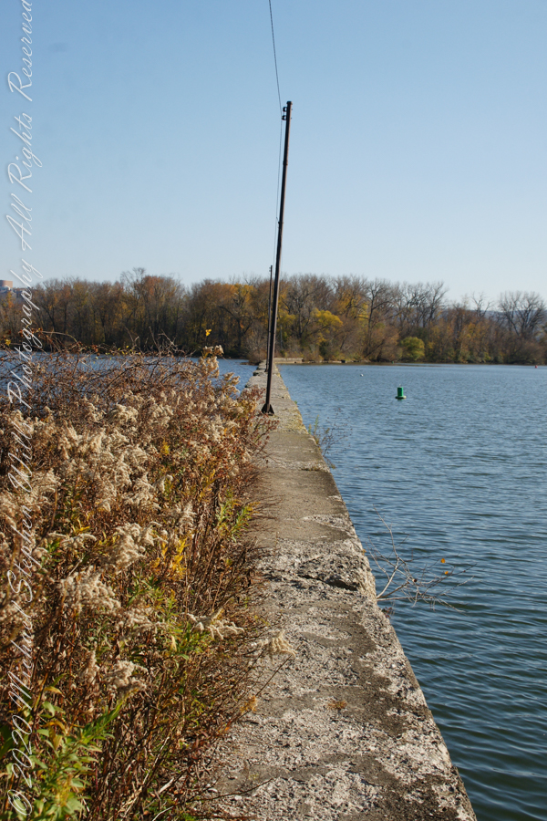
The West Lake Shore. This photograph captures the electric line that powers the Red Tower light. Seagulls enjoy that causeway…I’ve never seen humans walk it.
Copyright 2022 Michael Stephen Wills All Rights Reserved
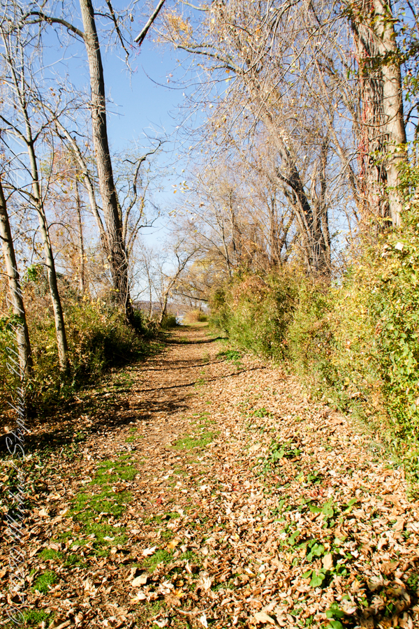
Post 1 of Lighthouse Point provided an impression of our hike along the golf course, from there we turned onto this wooded path on the shores of Cayuga Inlet.
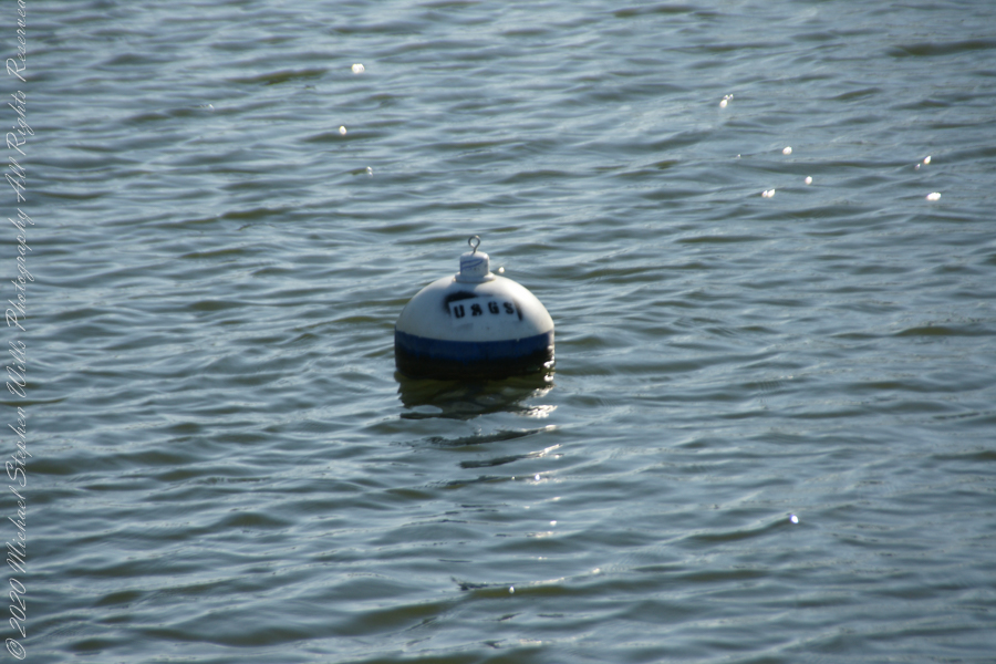
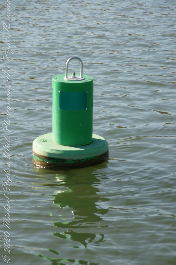
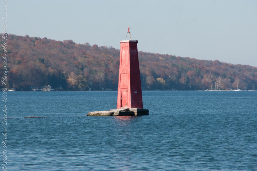
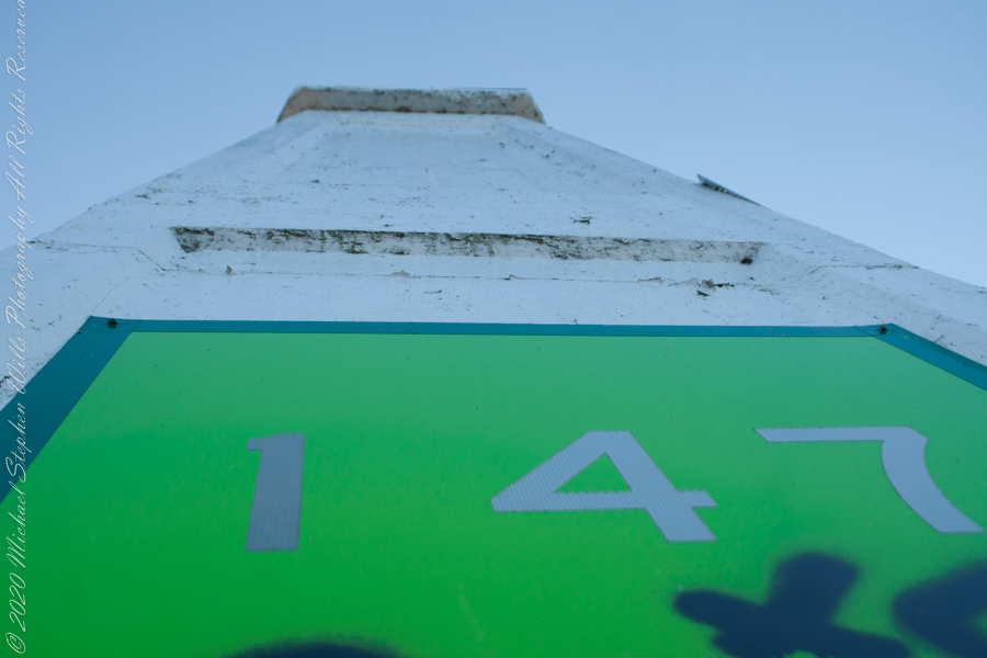
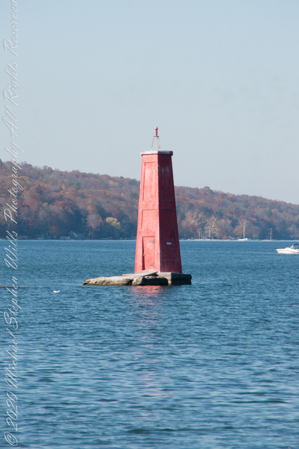
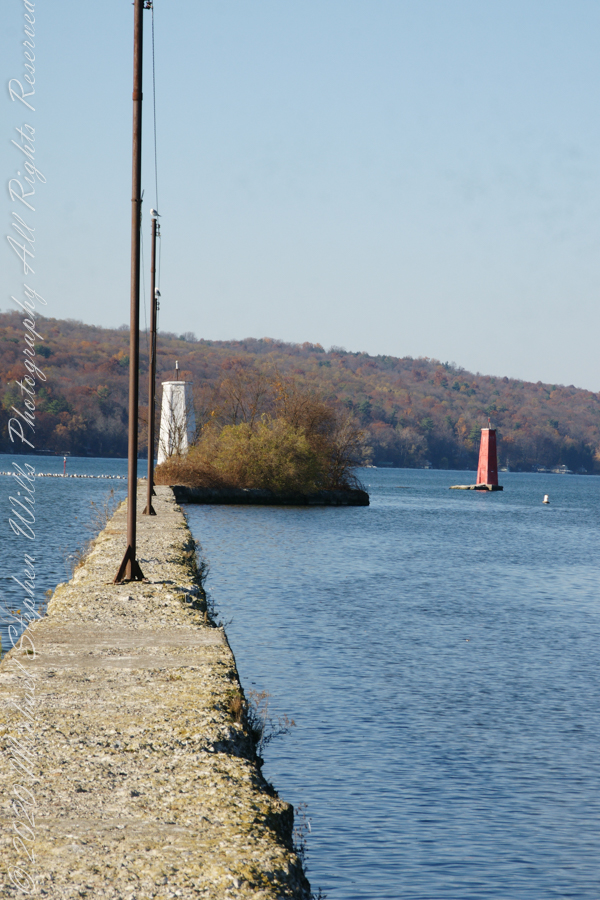
First view of the paired Lighthouses marking the Cayuga Inlet. The white tower is connected to shore by a causeway something less than a quarter mile in length. The red tower marks the other side. These navigation guides allow boats to safely enter the channel exiting the south end of Cayuga Lake. The Erie Canal connects to the north end, allowing access to the Great Lakes and, eventually, the Atlantic Ocean.
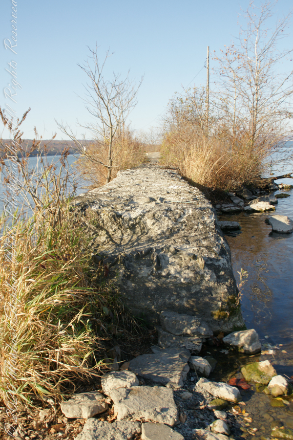
The 4-foot-high step up to the concrete causeway path is an insurmountable obstacle to some. I managed to clamber over.
Looking back to shore….
Rusted iron poles support the electric line for the white tower. They remind me of ship masts.
The straight shot back to shore.
Copyright 2022 Michael Stephen Wills All Rights Reserved
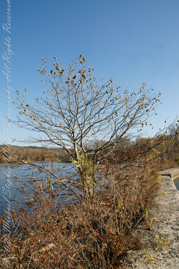
November 3rd, 2022, Blessed Us with an azure sky, an Indian Summer Day. During our walks on Cass Park Shorts we’d look across to see hikers emerging from the gold course to walk the Lighthouse causeway. After decades of longing, these Ithaca residents took upon themselves the adventure of finding the path and walking it. This series of posts documents the walk and some treasures discovered on the way.
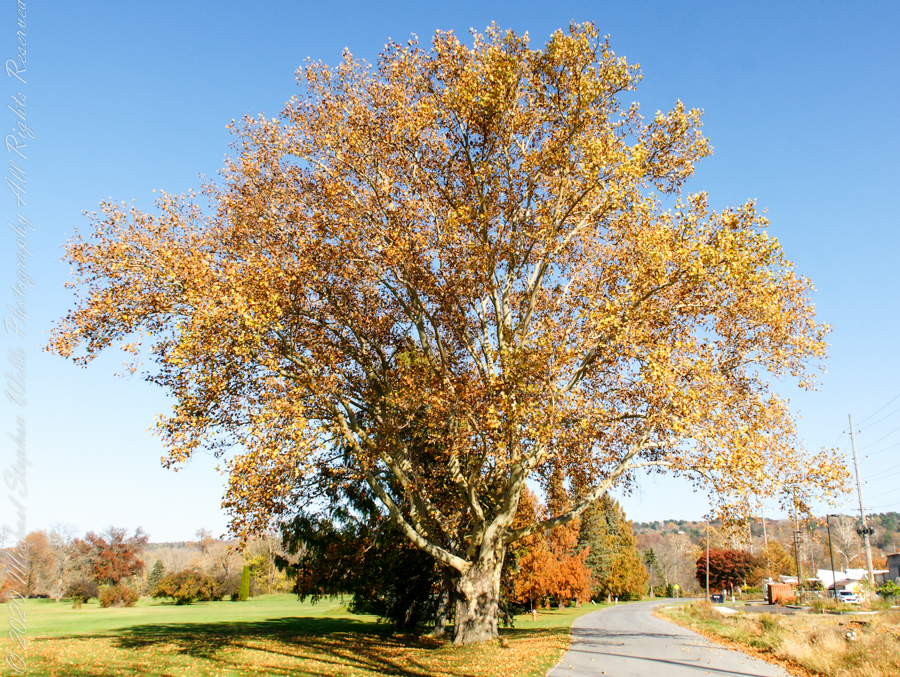
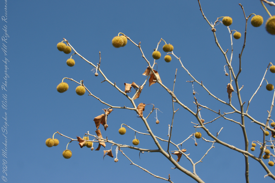
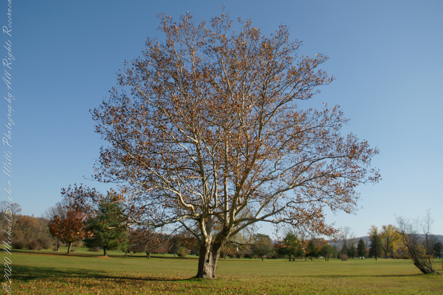
Sycamore, aka Plane Tree
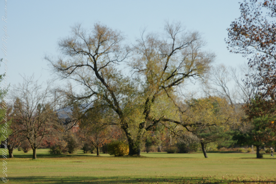
Willow on Cayuga Inlet and Newman Golf Course
might be another Sycamore on the golf course
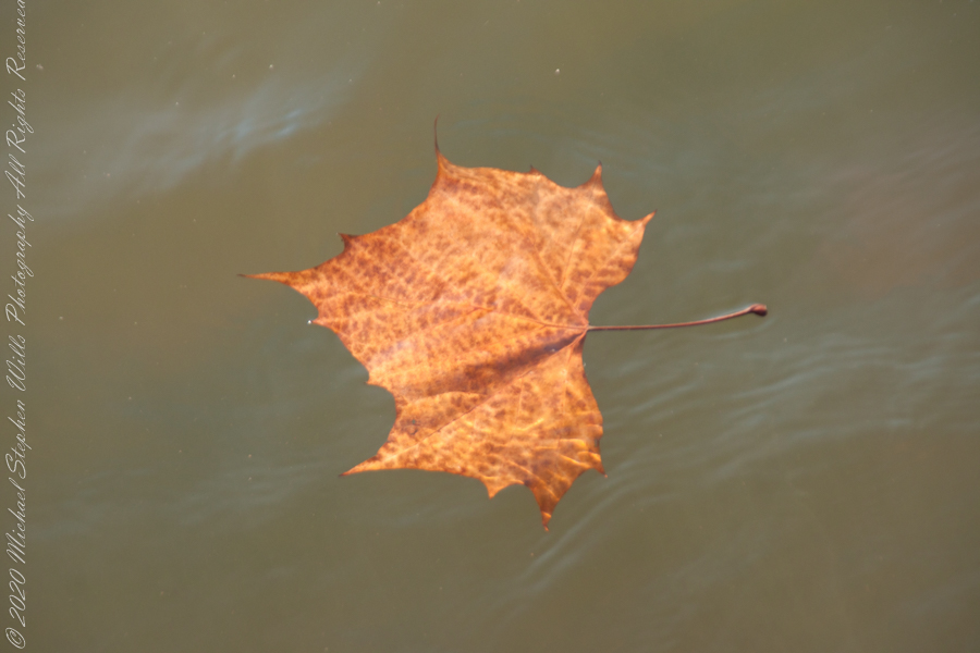
An uncultivated Sycamore sprouting from the causeway leading to the lighthouse “The reason Sycamores are also called “Buttonwood”. Children love to throw these seed heads at each other, sometimes “exploding”The reason Sycamores are also called “Buttonwood”. Children love to throw these seed heads at each other, sometimes “exploding” on impactSycamore leaf floating in Cayuga Inlet
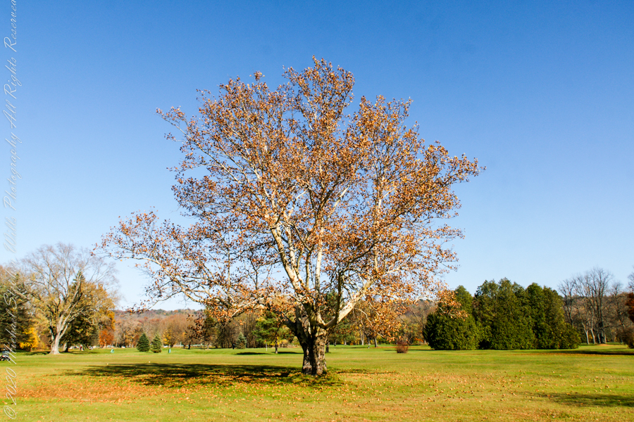
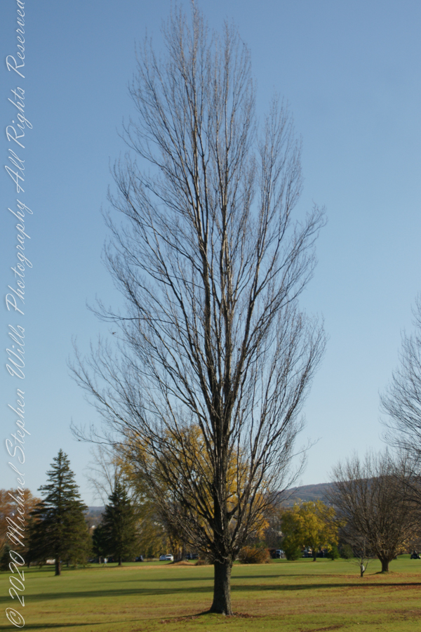
Unidentified tree on golf course
Unidentified tree on golf course
Unidentified tree on golf course
Copyright 2022 Michael Stephen Wills All Rights Reserved
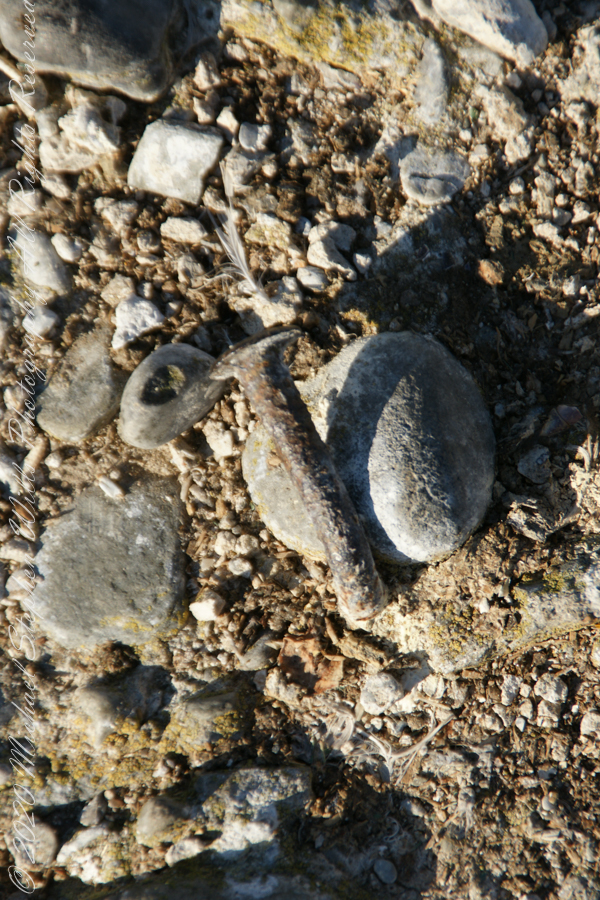
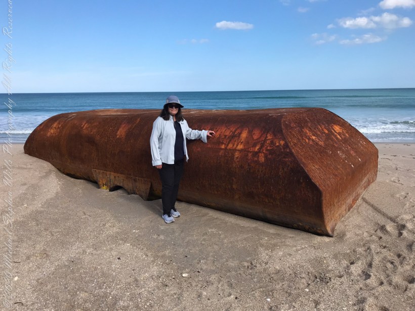
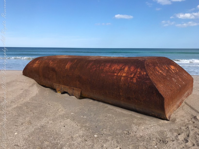
From a November 2021 article by James Sparvero of ClickOrlando(dot com). “Recent storms may have pushed a big part of a ship onto a secluded Central Florida beach. The Canaveral National Seashore said the metal object washed ashore at boardwalk No. 7 of Playalinda Beach. It is about 8 feet tall and 20 feet long.
Pam provides a sense of scale
“Seashore’s resource manager Kristen Kneifl said it might be a ballast tank from a ship, which is a compartment on a floating structure that holds water to help stabilize the vessel. “
Still a mystery
’That’s our best guess at this point,’’ Kneifl said.
As far as removing the giant box, the Seashore said it could be difficult. Meaning it will probably stay on the beach for a while until it gets figured out.
‘’Unlike maybe some boats or other things that wash up, where we can kind of chain saw it apart and get it over one of our boardwalks, it doesn’t look like it can be cut up,’’ Kneifl said. ‘’So, it’s going to have to be removed from the water, from the oceanside.”
Kneifl said, chances are, the strange object will be removed on a barge and transported elsewhere by sea.
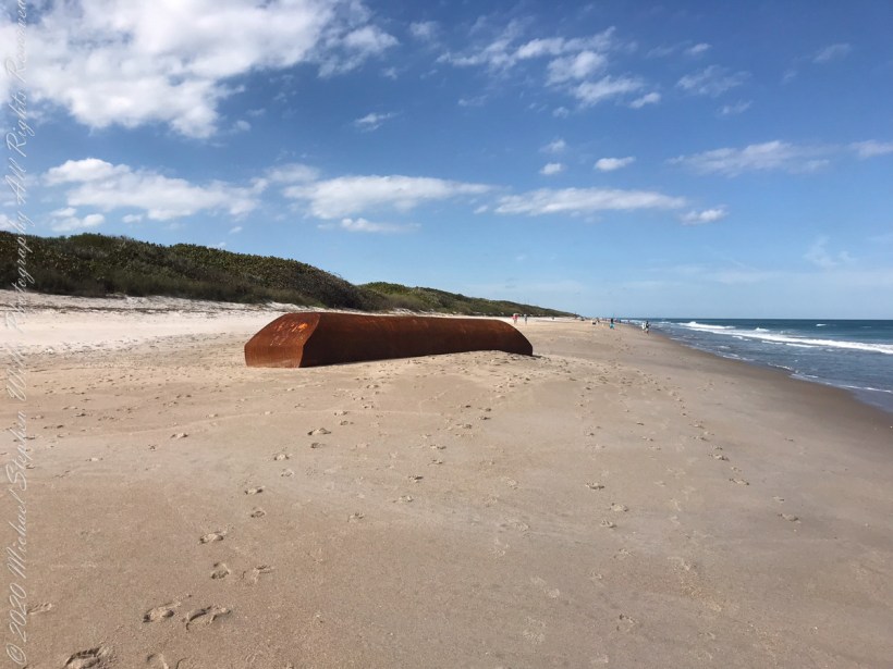
Here is a photo for a sense of place.
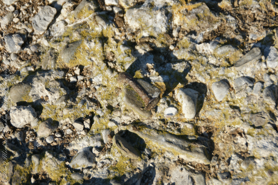
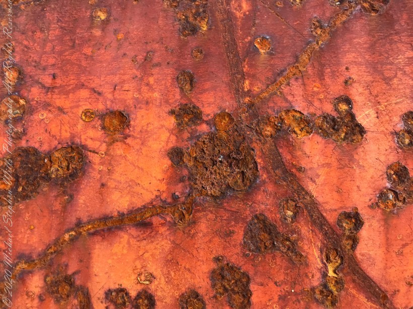
Artistic macros of the rusty surface.
Cape Canaveral National Seashore, Titusville, Brevard County, Florida
Copyright 2022 Michael Stephen Wills All Rights Reserved
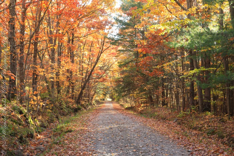
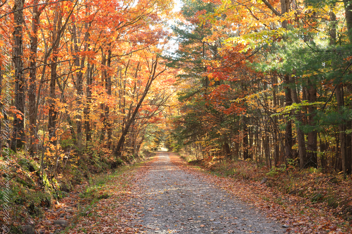
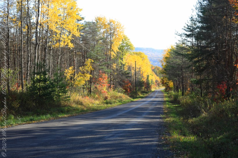
For my last autumn posting this last day of November 2022 this colorful hall of trees is on the long descent of Lacey Road from Cortland to Tioga Counties where it passes close the meeting point of three counties near the Robinson Hollow State Forest, the third being Tompkins County.
We are travelling south on a northernmost, glaciated section of the Allegheny Plateau. In the 19th Century a lawyer named Calvin J. Robinson was a prominent citizen of nearby Richford.
Copyright 2022 Michael Stephen Wills All Rights Reserved
South/Southwest view from the long hill into Harford, stopping to admire the effect of sunlight, dappled shade and bright yellow, orange, red against the distant ridge sheltering Robinson Hollow. Near Harford, Cortland County, New York.
Copyright 2022 Michael Stephen Wills All Rights Reserved
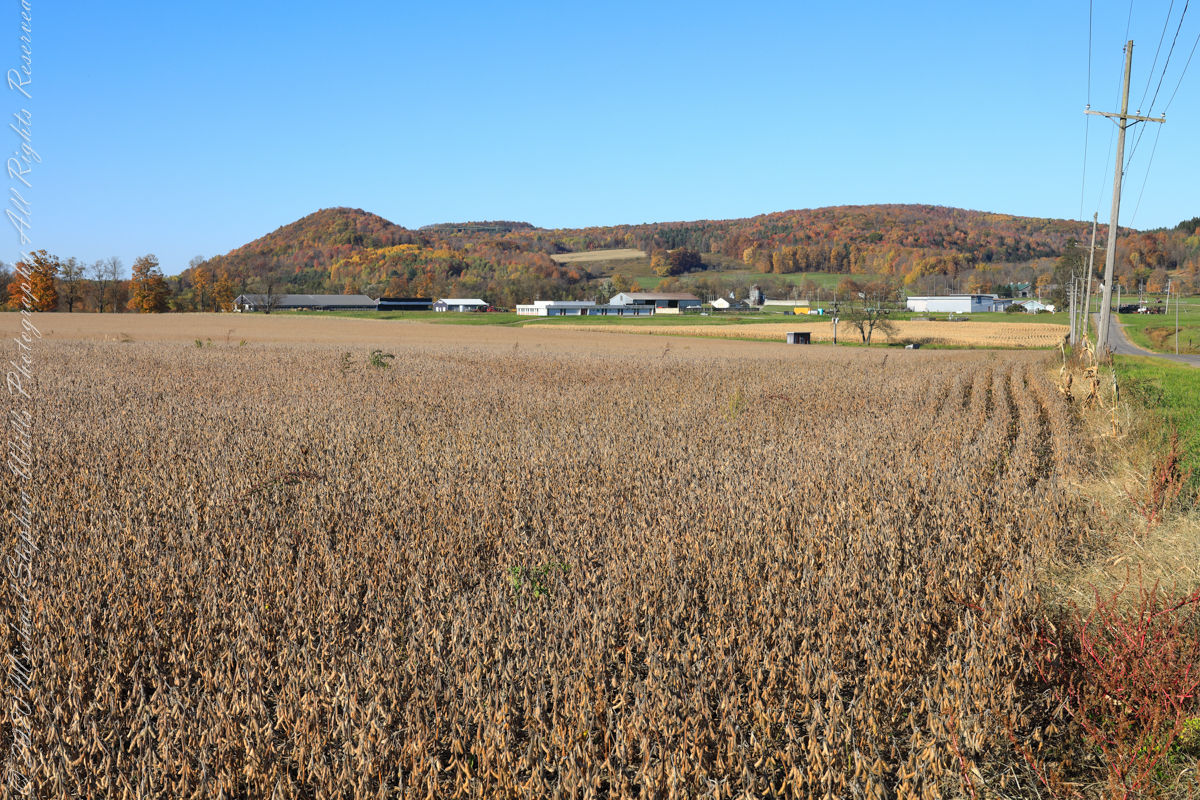
A diorama of the Museum of Natural History, New York City, features this north view, first viewed as a young teen on a school field trip — the duplicated sight was imprinted on my memory. Over the years I passed this spot repeatedly for trips to Long Island for family Thanksgiving celebrations. October 22nd, 2022, the field was planted with soybeans ready to harvest. The rounded hill, a drumlin, finishing the left side of the ridge, is the “star” of this photograph and the diorama.
A drumlin, from the Irish word droimnín (“littlest ridge”), first recorded in 1833, is an elongated hill in the shape of an inverted spoon or half-buried egg formed by glacial ice acting on underlying unconsolidated till or ground moraine.
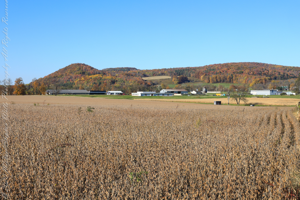
Same exposure cropped to remove road and poles to perfect the image.
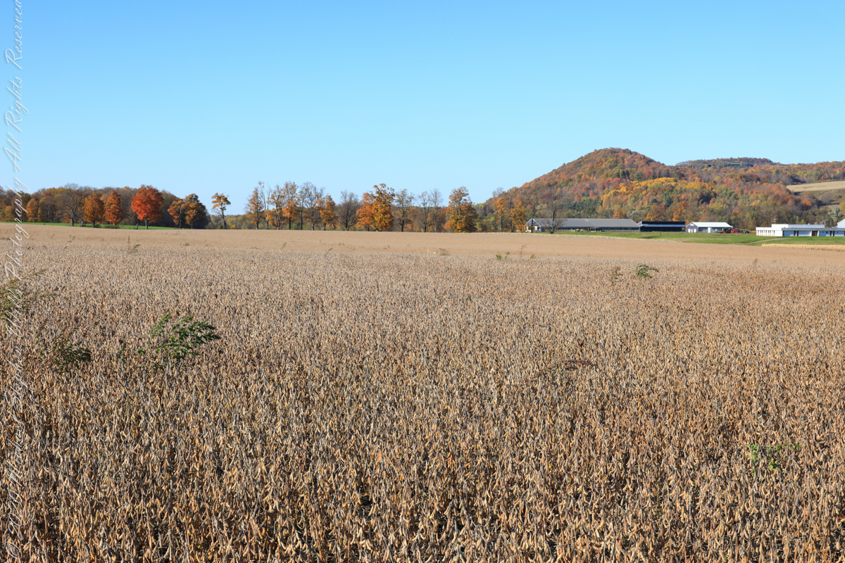
I am not sure the north/northwest view is an improvement, as seen in the following photograph.
Copyright 2022 Michael Stephen Wills All Rights Reserved
For this series I travelled a short distance south from where Palmer Road intersects with Virgil Road, crossing the border from Tompkins to Cortland County, closer to Carpenter Hill.
In the 19th Century driven wells (also called tube wells) were an innovation developed in Cortland County under the command of a Civil War era Colonel Nelson W. Green who sought for twenty-two years to impose royalties on use of driven wells. I.H. Palmer assisted John W. Sugget, both of Cortland County, in a seminal patent law case they won in U.S. Supreme Court seeking the release from royalty payments from thousands of driven well installations throughout the Eastern and Midwestern United States. Their successful argument was for two years before any patent application, in Cortland County, driven wells were in use. I cannot say Palmer Road has a connection to I.H. Palmer, though it is an interesting historical aside.
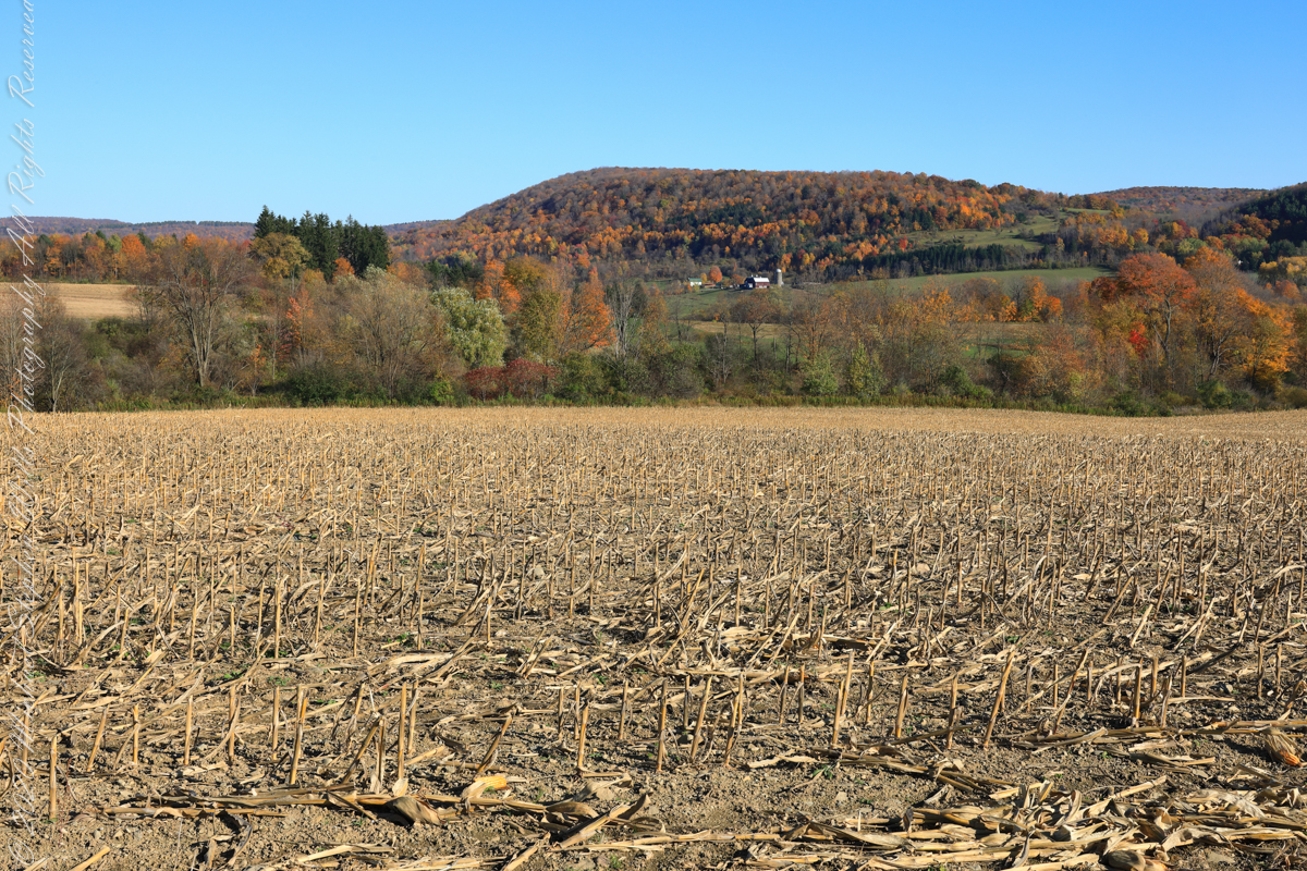
View east from Palmer Road across corn stubble. A feeder stream to Virgil Creek is marked by the nearest line of trees, beyond the land rises over the shoulder of Owego Hill.
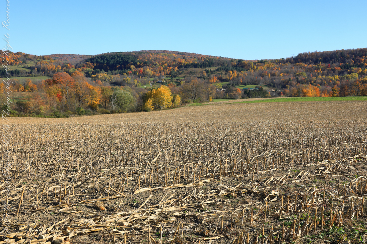
View east/southeast from Palmer Road across corn stubble. A feeder stream to Virgil Creek flows through the first tree line on left with the creek itself in the far trees, center at the foot of Carpenter Hill. The green field at edge of corn stubble is the fallow field of the next photograph.
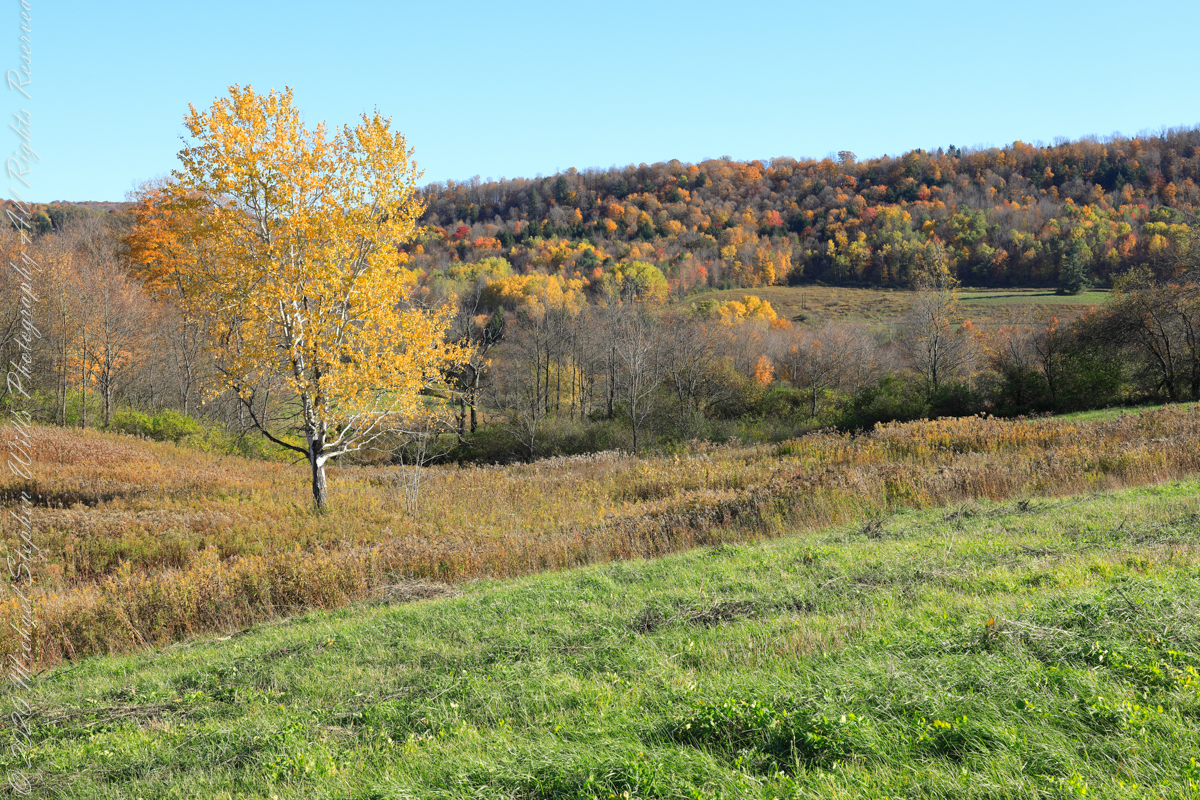
View east/southeast from the east edge of a fallow field along Palmer Road. Looking across Virgil Creek to the slope of Carpenter Hill. Cortland County, New York.
Copyright 2022 Michael Stephen Wills All Rights Reserved