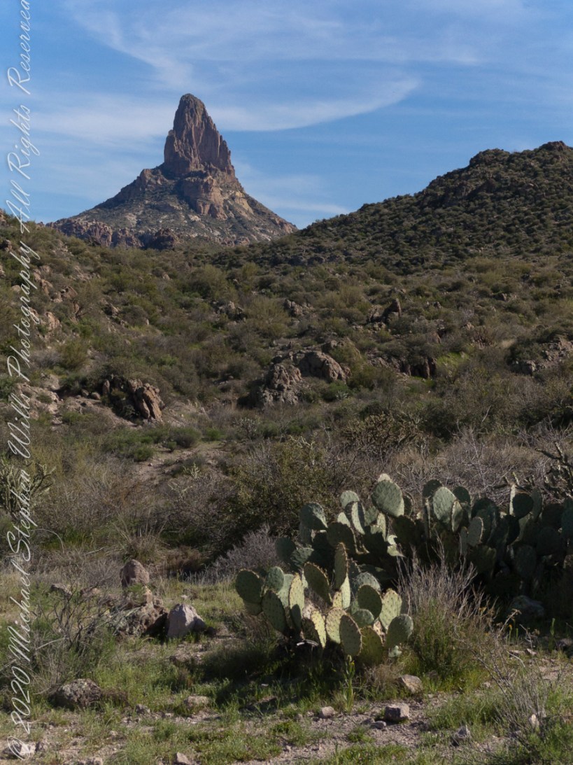
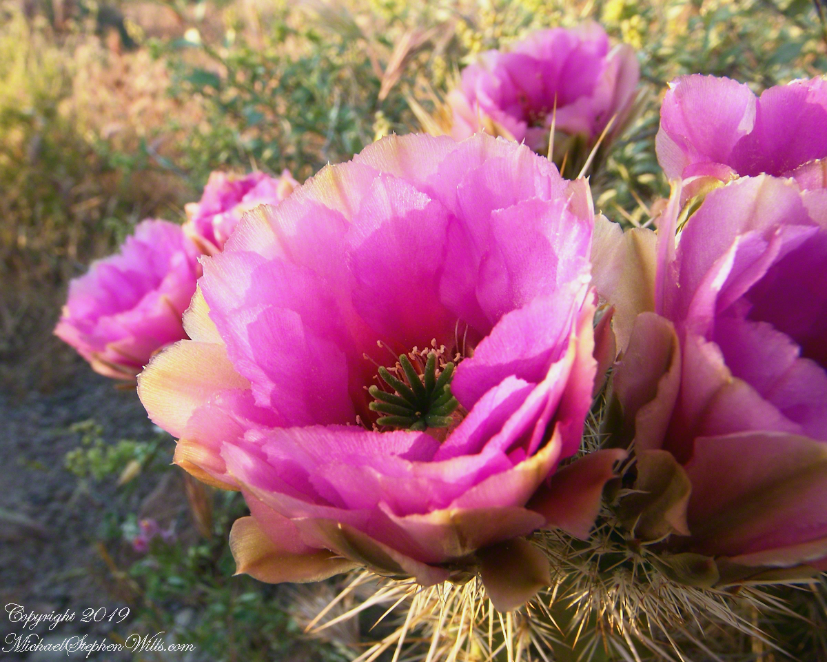
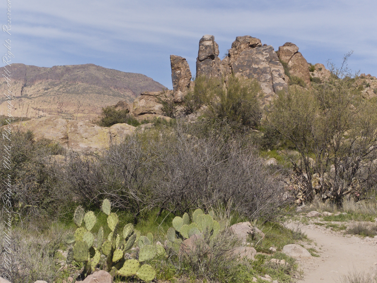
Prickly Pear cactus is in foreground. In season these produce magnificent flowers, see below.
Prickly Pear flowers at the Arizona-Sonoran Desert Museum outside of Tucson, Arizona
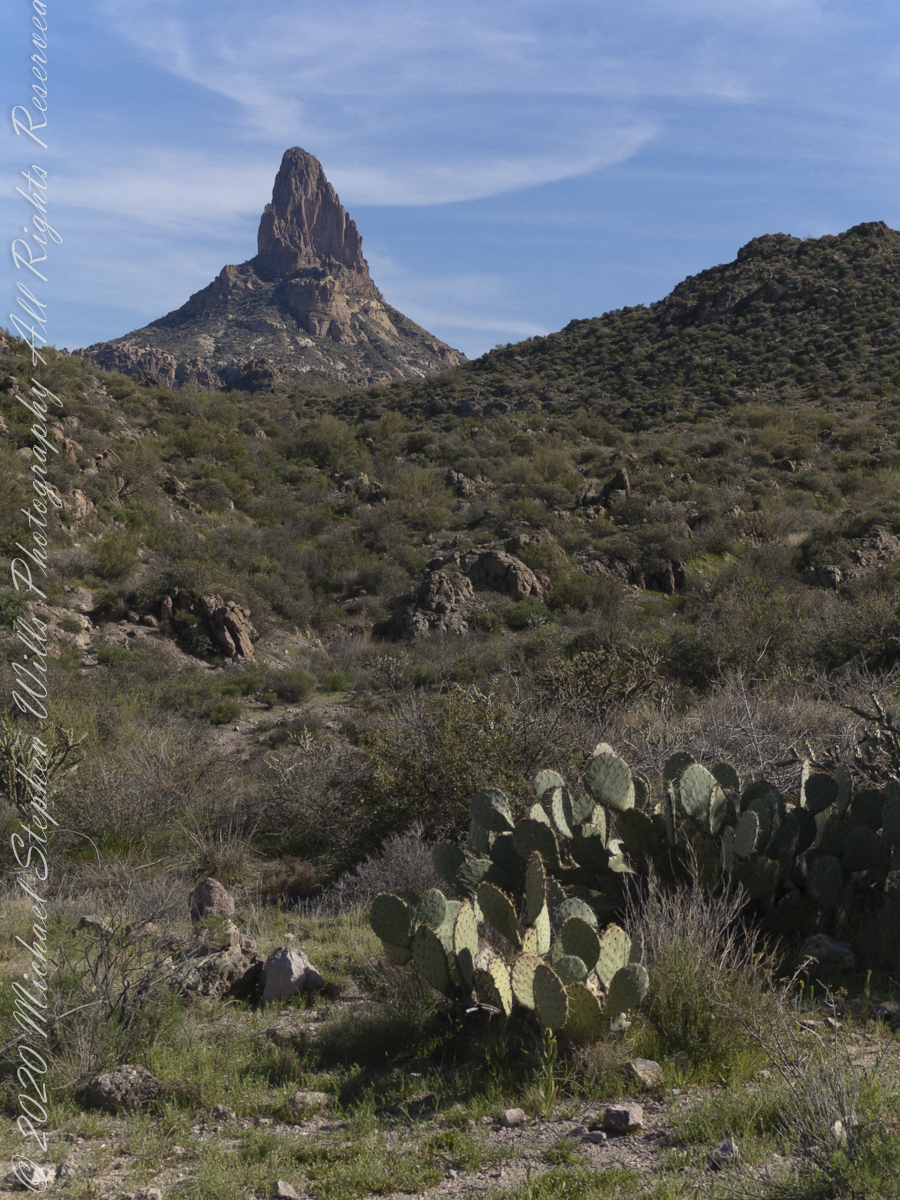
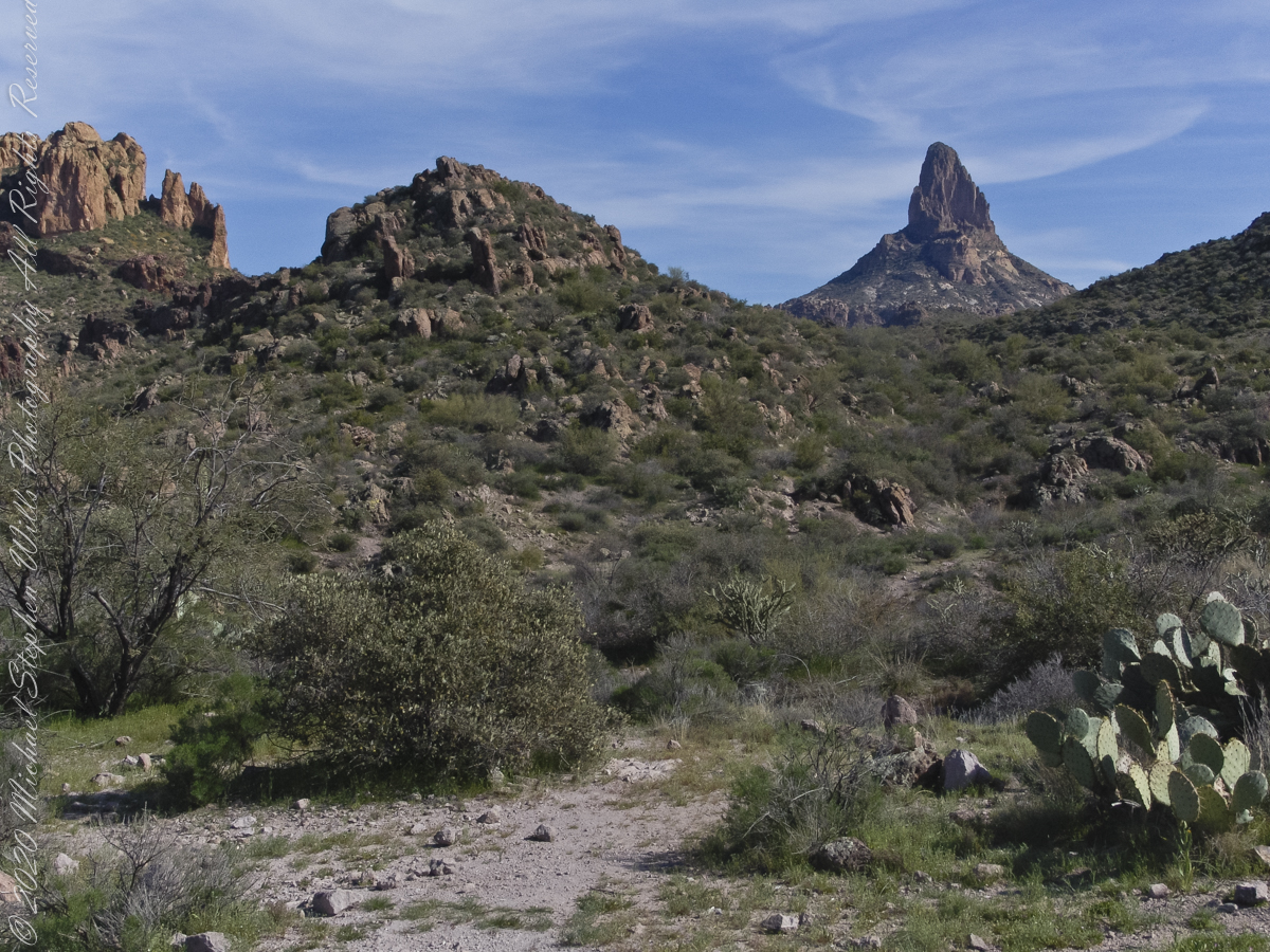
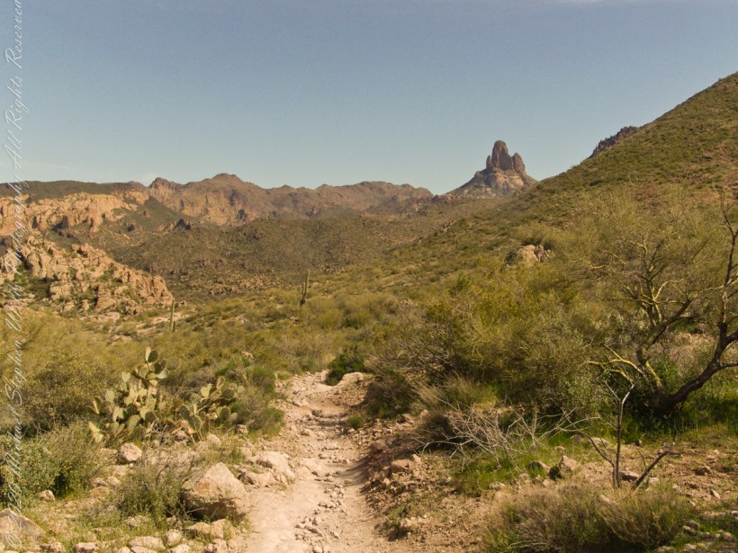
East by Southeast a low ridge forms the west side of the canyons above which Weaver’s Needle looms. “Weavers Needle has played a significant role in the stories of the Lost Dutchman’s Gold Mine. The Needle’s shadow reportedly indicates the location of a rich vein of gold, and many treasure hunters have searched for it. The hunt for gold around Weavers Needle has been pursued by hundreds (possibly thousands) of people. Weavers Needle has a large split in the side that makes it look like it has two tops, not one. This can only be viewed from the side.” — wikipedia
To the far left is Palamino Mountain.
Reference: wikipedia “Weavers Needle”
Copyright 2022 Michael Stephen Wills All Rights Reserved
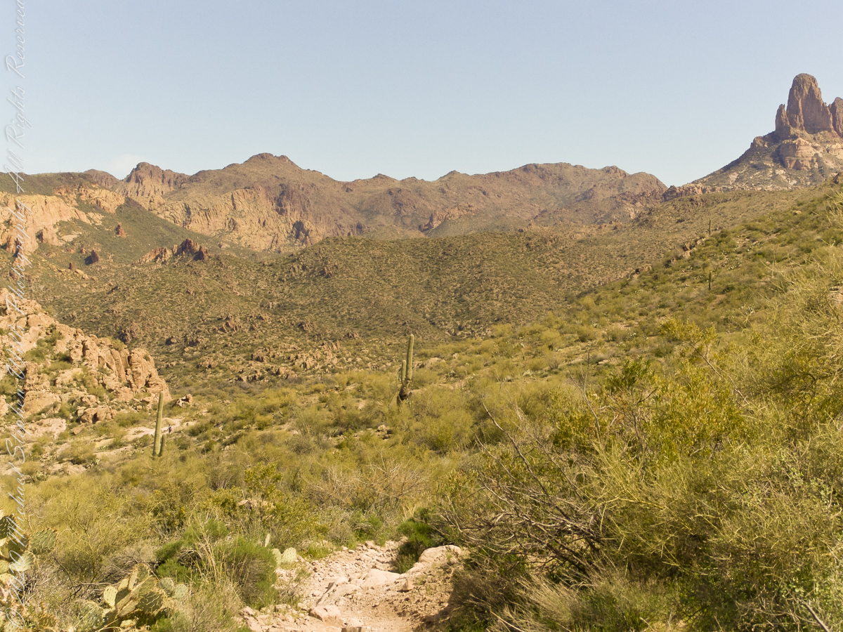
The Dutchman trail curves around this rocky outcrop on the east side of O’Grady Canyon, on the left are two hoodoos, on the right side a vandal has defaced the rock. Prickly Pear Cactus in foreground. Malapais Mountain, in distance. Malapais is from the Spanish term Malpaís, meaning badlands.
Signs and wonders, such as this mysterious “S”, lure people into the Superstitions. Two years after our expedition, July 2010, three men set out from First Water trailhead on a quest for Superstition Gold, never to be seen again. Unprepared for the summer heat, the skeletons of two found January 2011 on the slopes of Yellow Peak, a straight-line mile from this location.
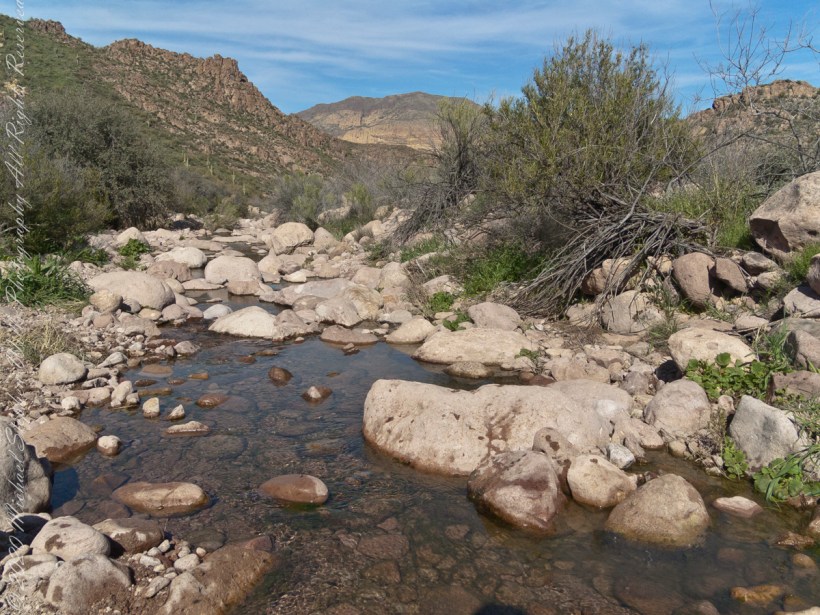
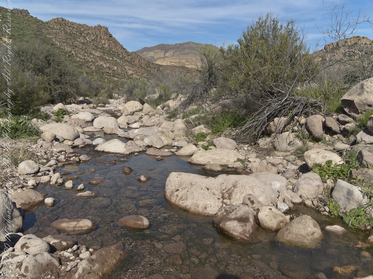
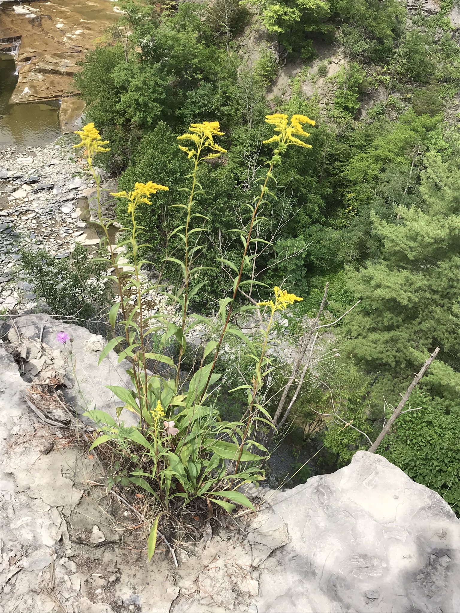
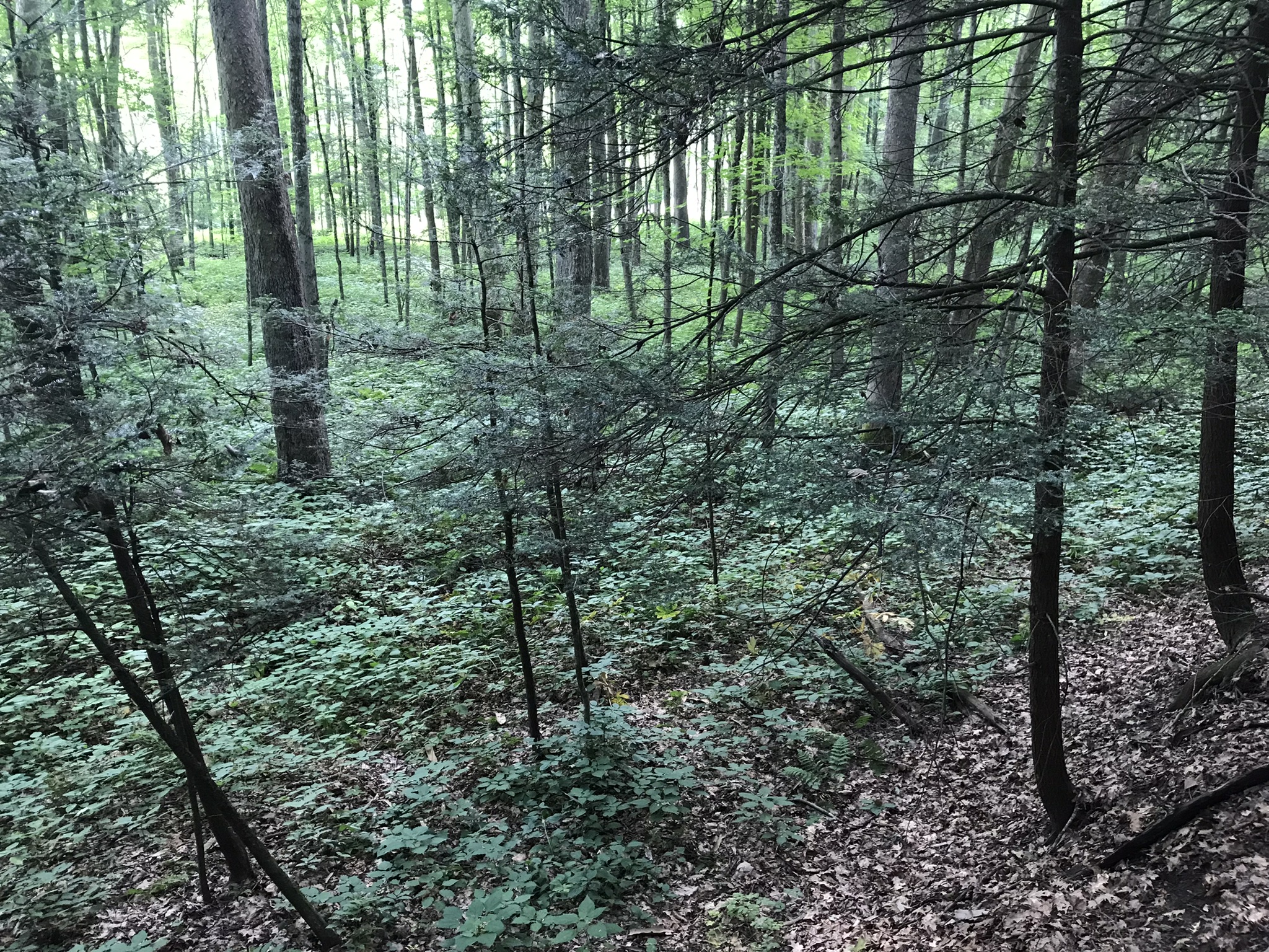
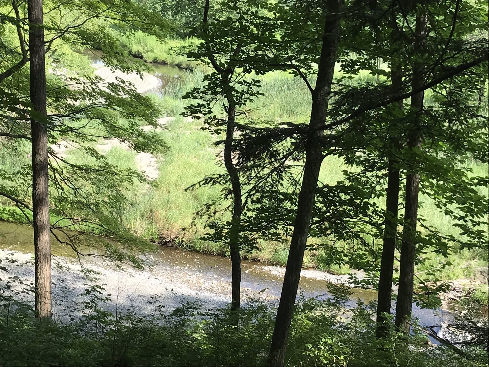
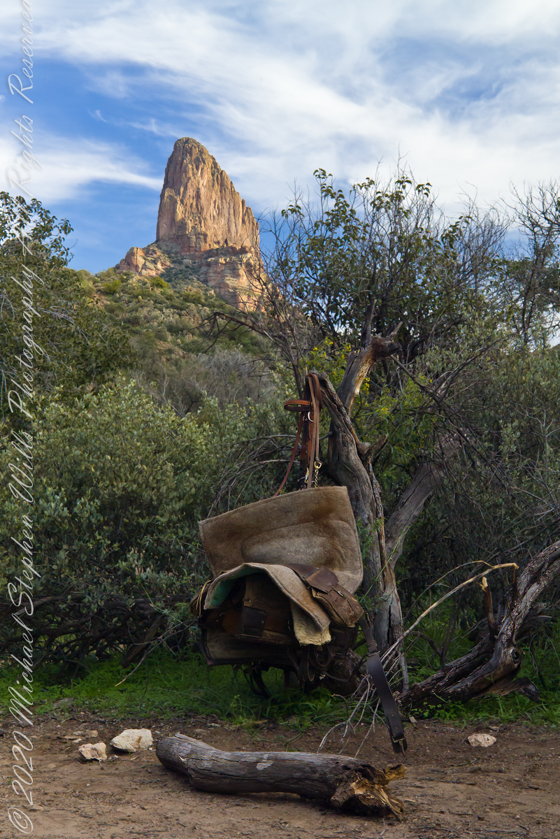
The blessing of desert water flows through a portion of West Boulder Canyon known as O’Grady Canyon, named after “Rattlesnake” Tim O’Grady who prospected the area mid-Twentieth Century.
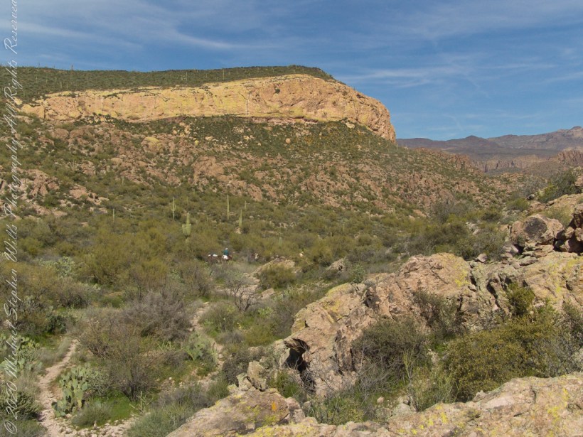
Even more so as this is an intermittent flow, dry boulders offer no solace in dry seasons. In the distance, beyond a Black Mesa ridge studded with Saguaro cactus, is Malpais Mountain (Spanish, “Bad Country”). Closer, on the right, is the ridge of Palamino Mountain.
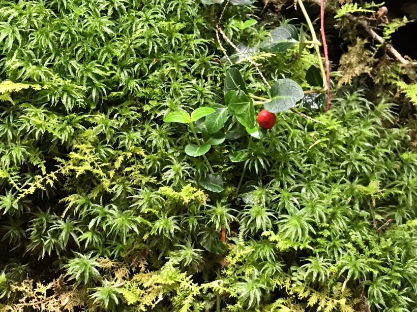
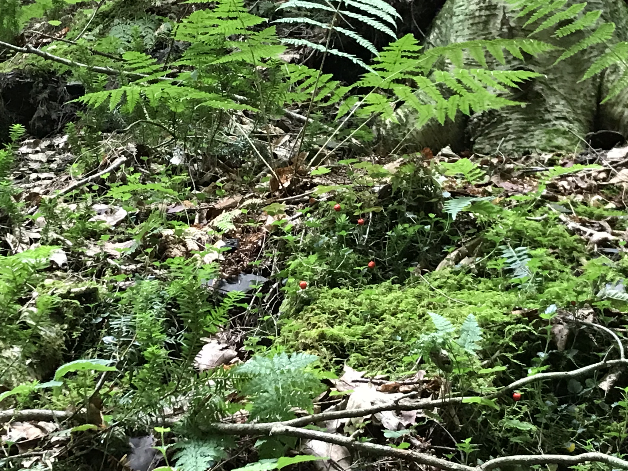
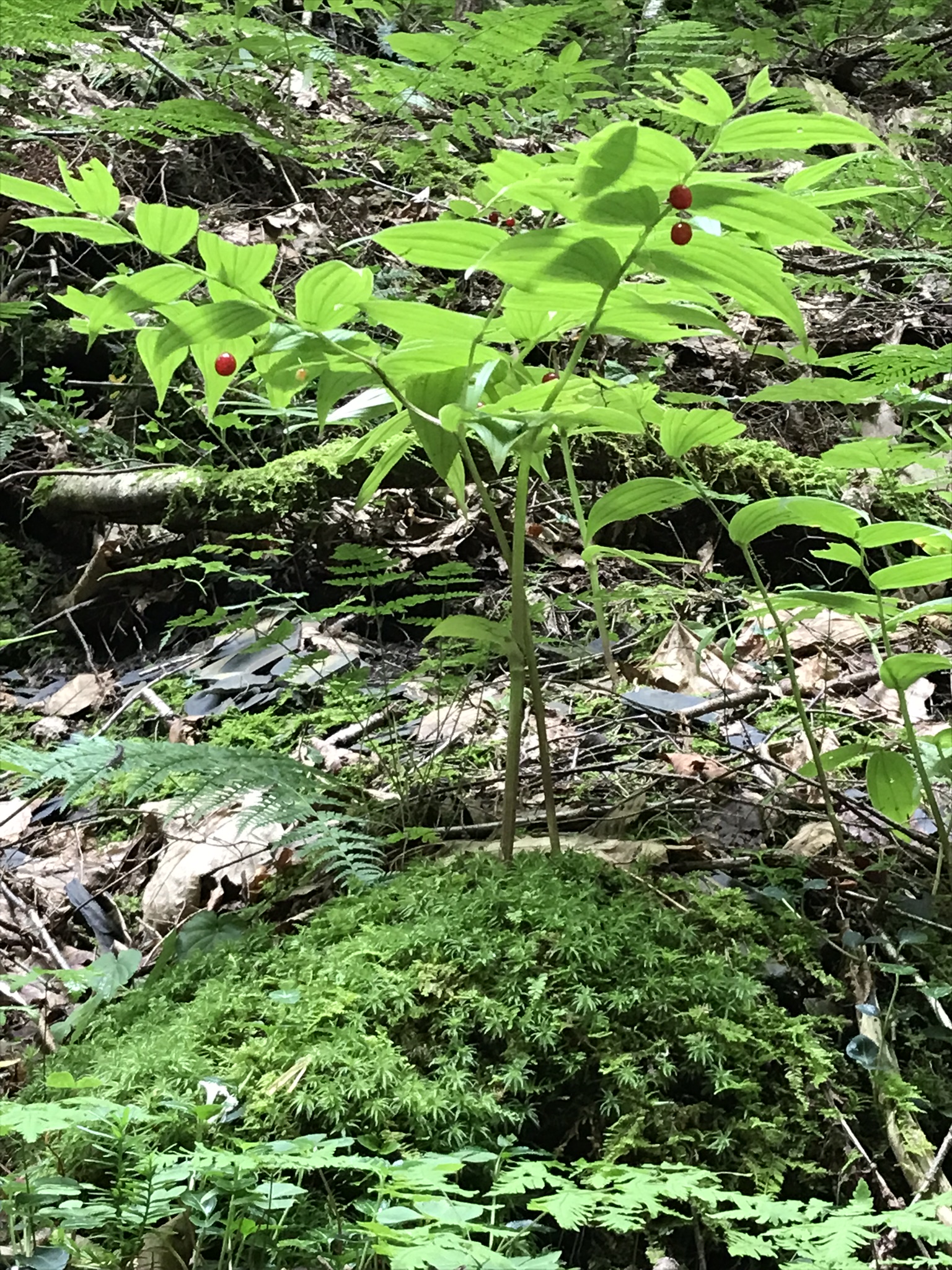
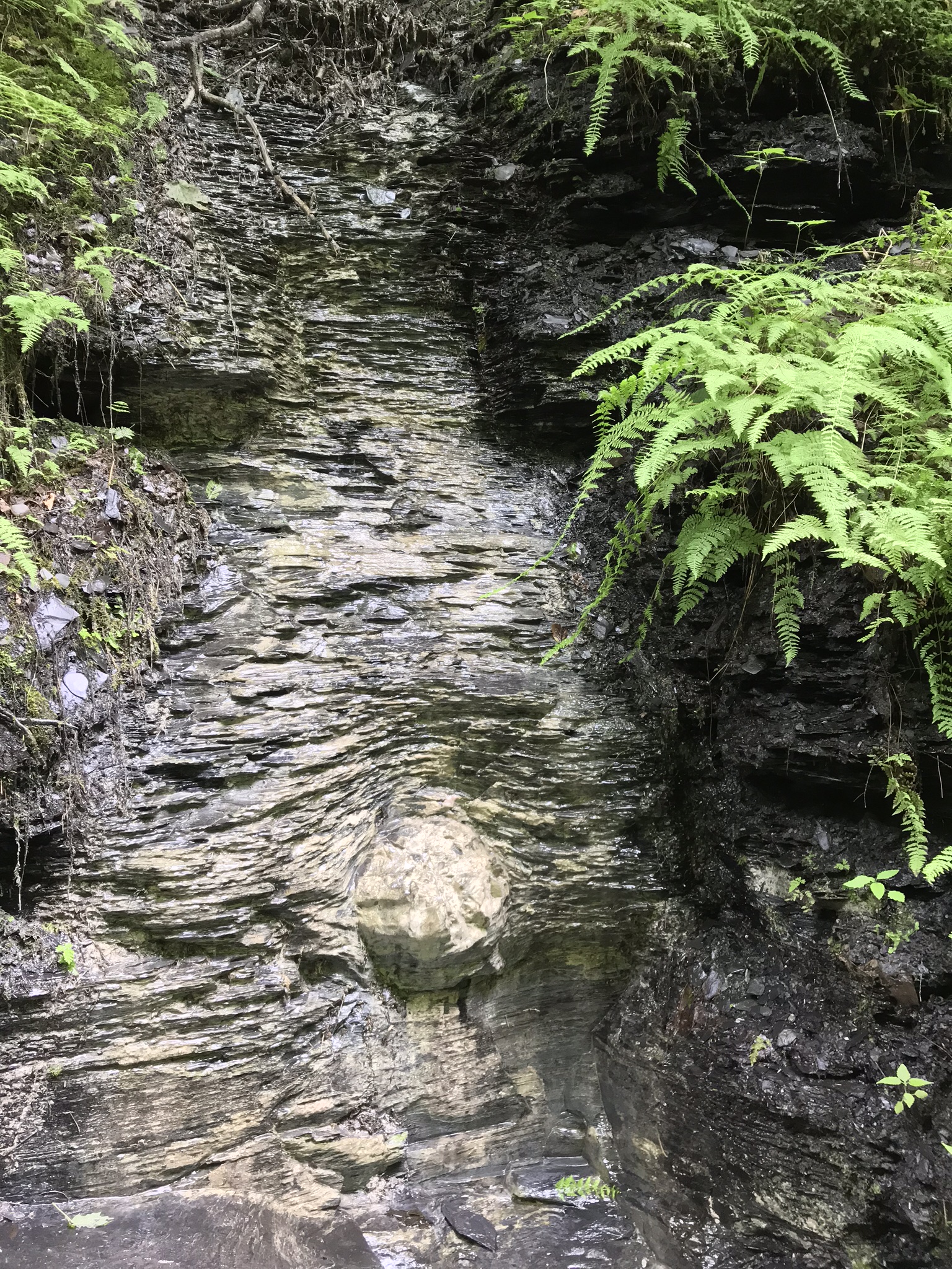
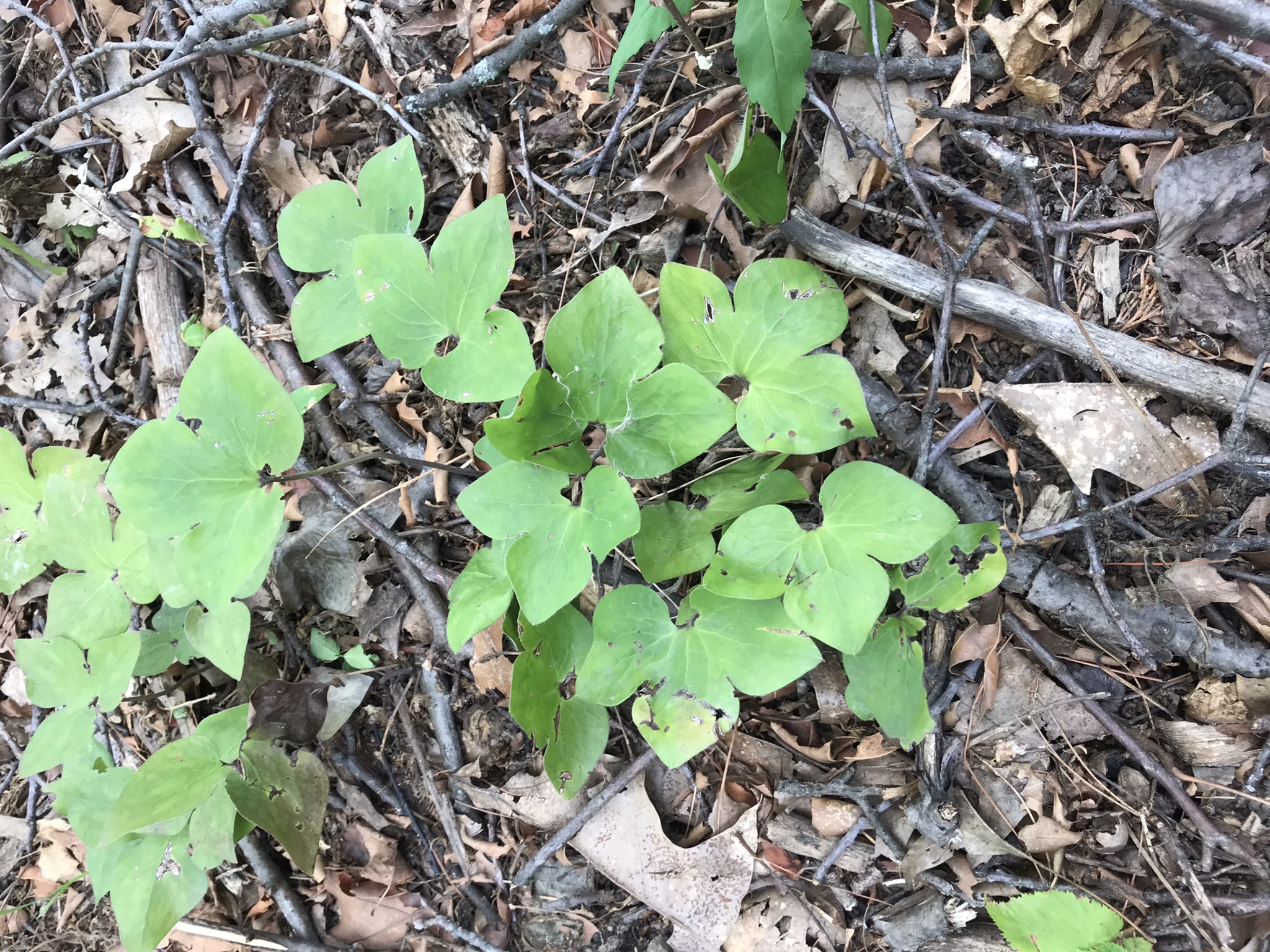
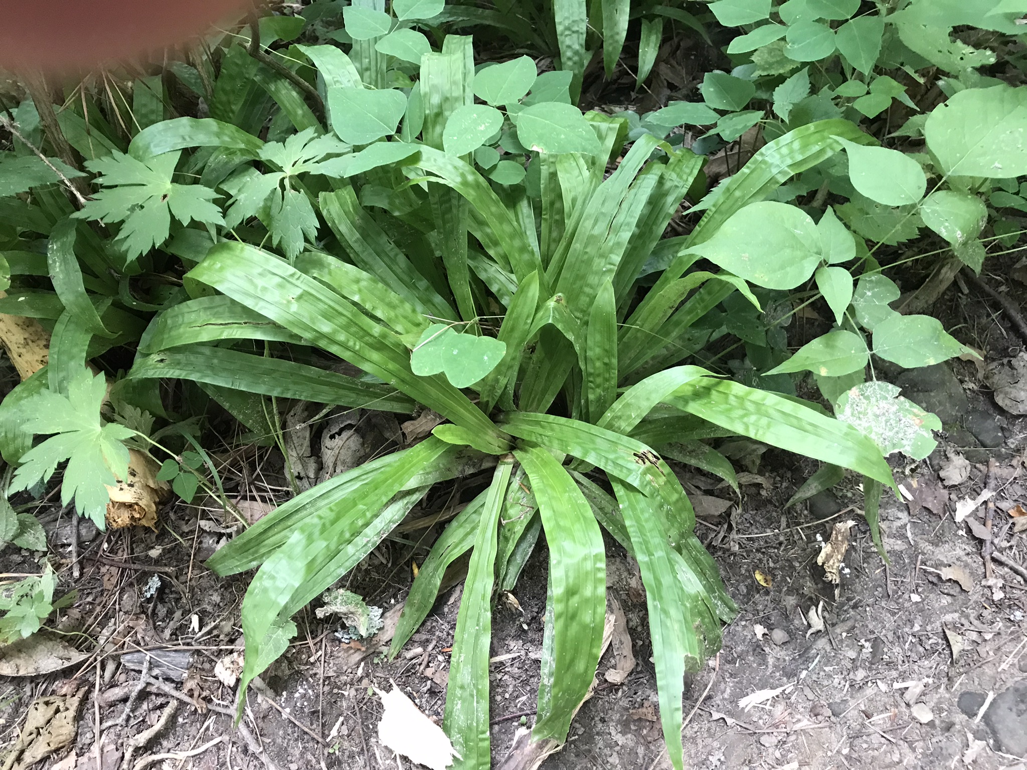
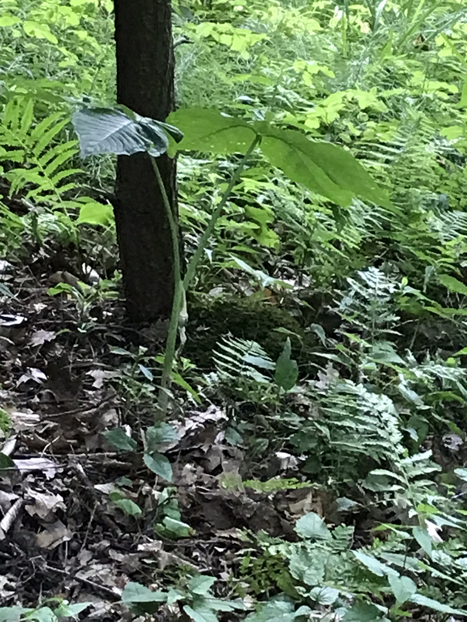
Walking the level the these red might be overlooked hanging sparsely under nodding branches. From the leaf shape you may wrongly identify this as Solomon’s Seal. This specimen, growing on a shale ledge of the glen, reveals sparse red fruit, not the plentiful dark blue of Solomon’s Seal. This is Rose Twisted-Stalk (Streptopus roseus), a member of the Lily family. The two are often found close together. I found no Solomon’s Seal this trip.
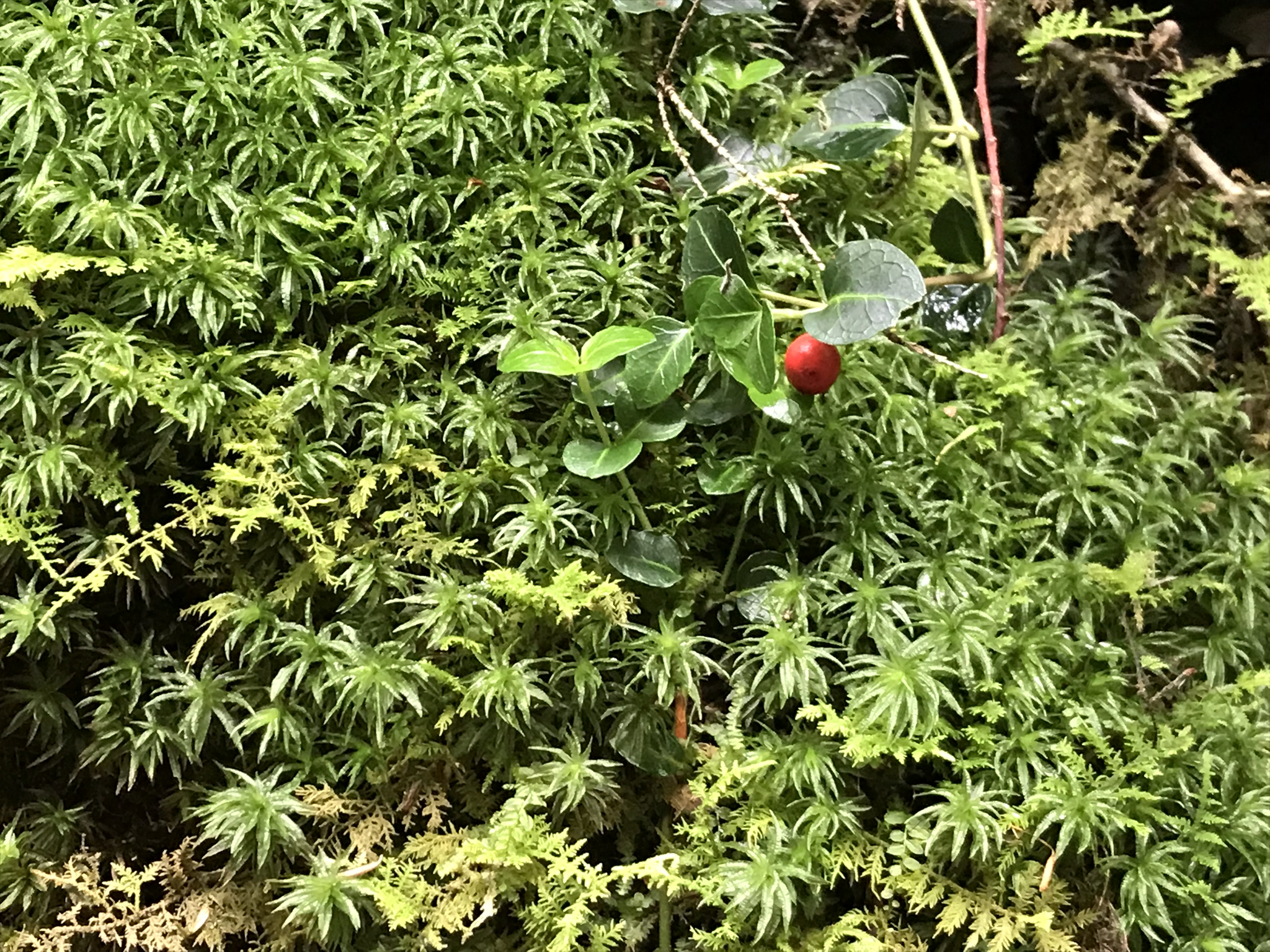
Cranberry?
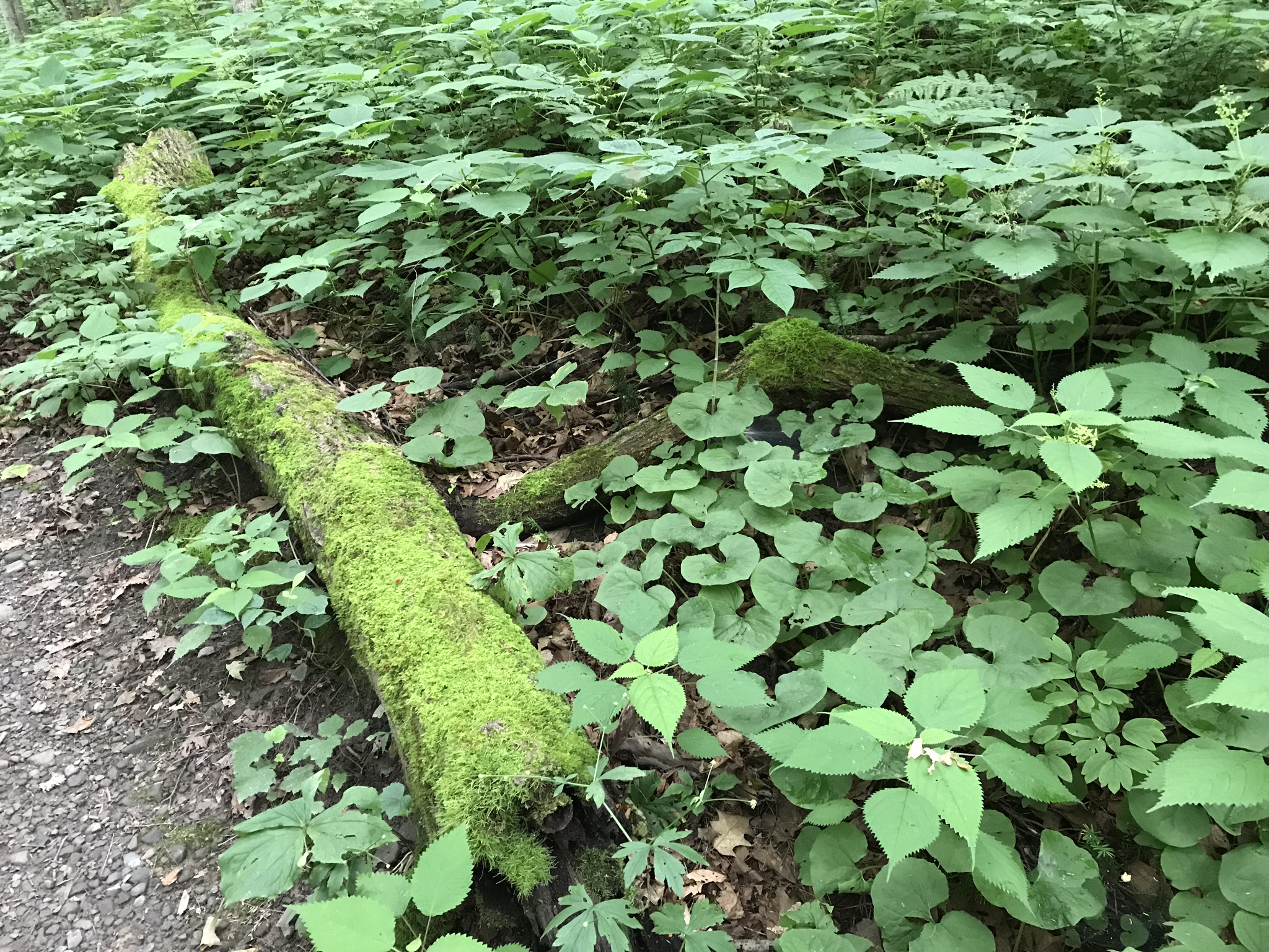
The moss beneath the Rose Twisted-Stalk is plentiful here beneath the constantly dripping porous shale glen wall, mini swamps. I am not confident enough to following identification to each the red fruit. From the damp location and leaf shape I am guessing this to be mountain- cranberry (Vaccinium vitis-idaea). The first photograph of this posting is an overview.
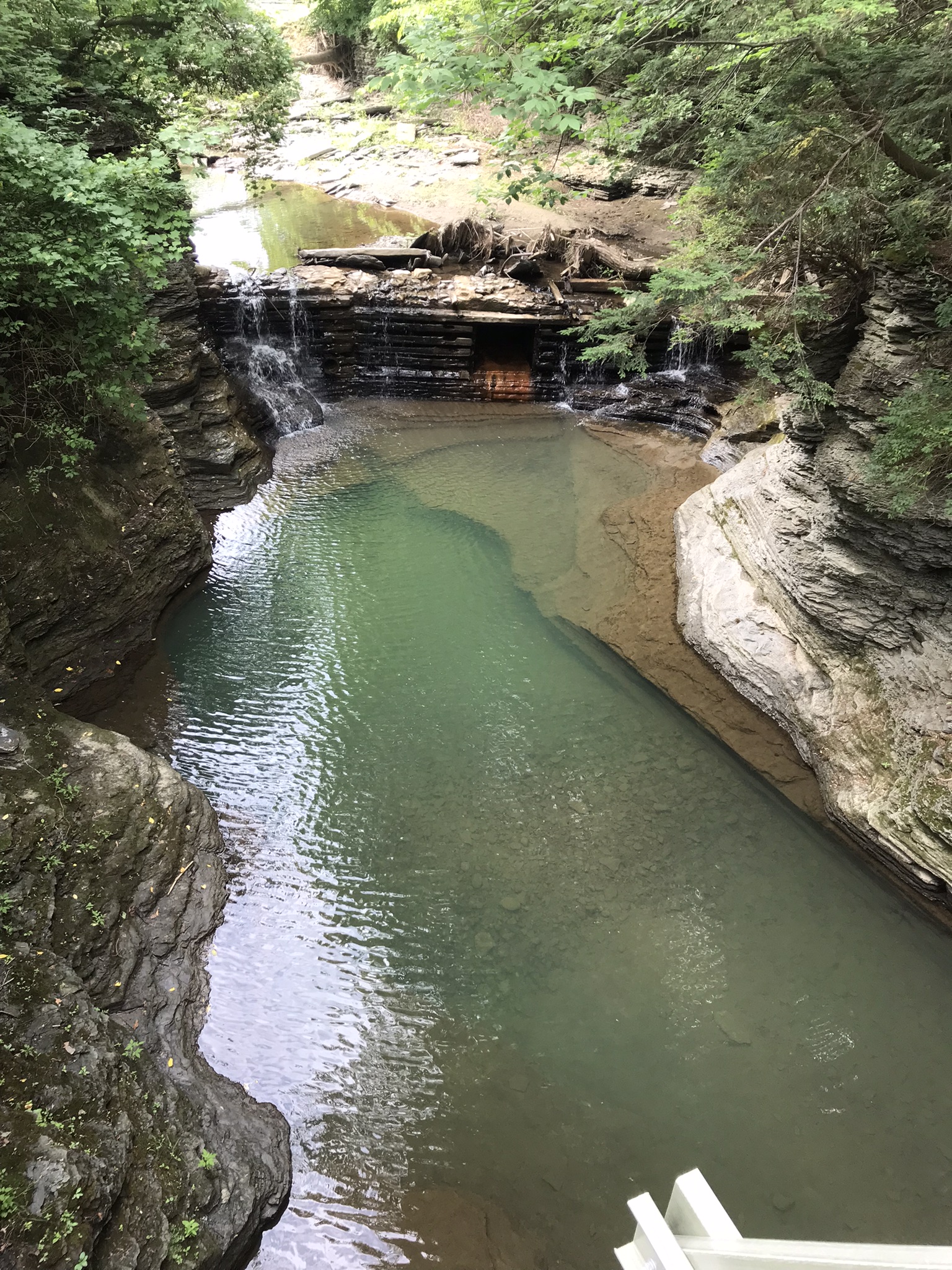
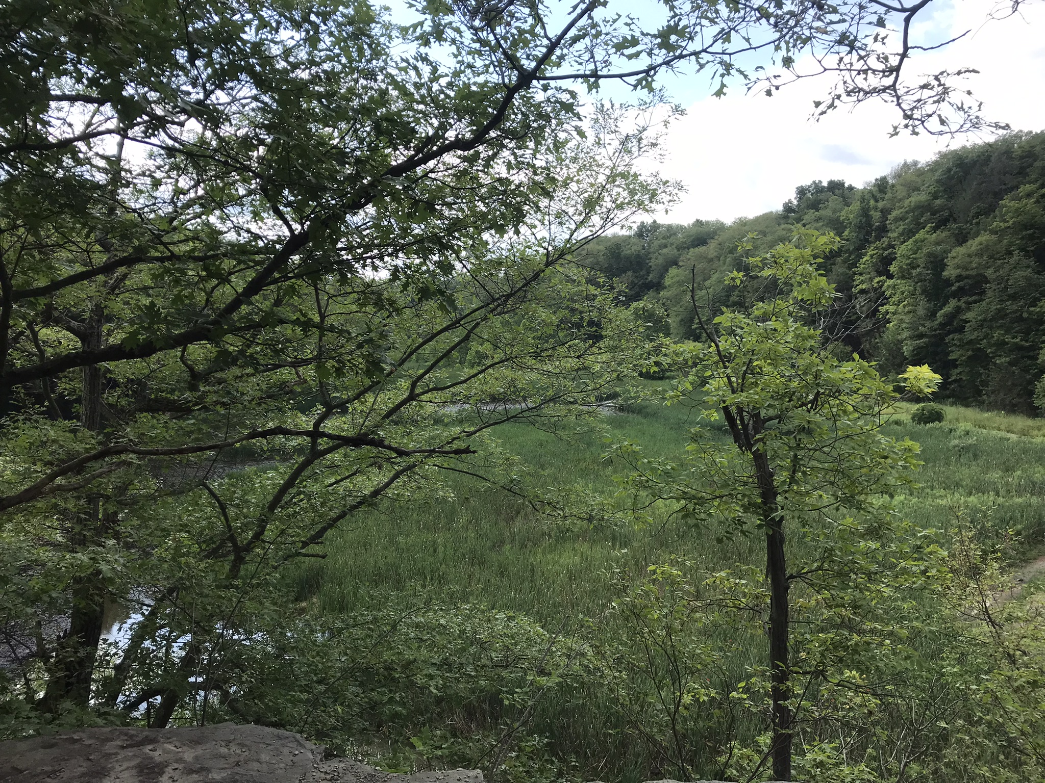
A shallow grotto
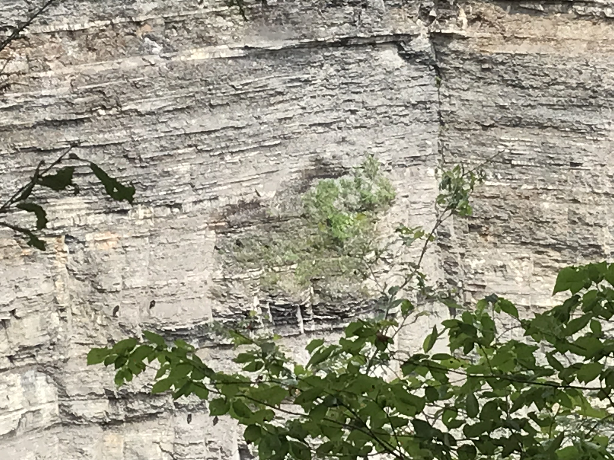
Finely layer shale in the following photograph is sediment eroded over 50 million years from the Arcadian Mountains, washed into the shallow inland sea of the Appalachian Basin. We see here a transition between fine, fragile shale and another, harder, durable sedimentary rock, limestone. There was a stone on the otherwise flat surface of the limestone around which the sediments forming the shale grew.
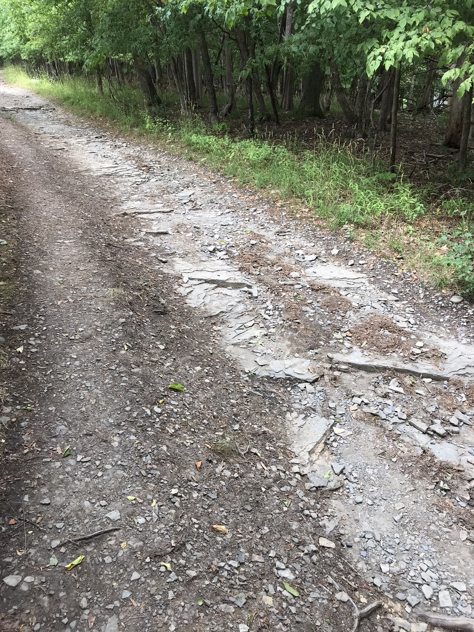
We see the detail because here is a persistent, sparse spring. The trail builds created a well here to carry the outflow, preventing trail erosion.
Copyright 2022 Michael Stephen Wills All Rights Reserved
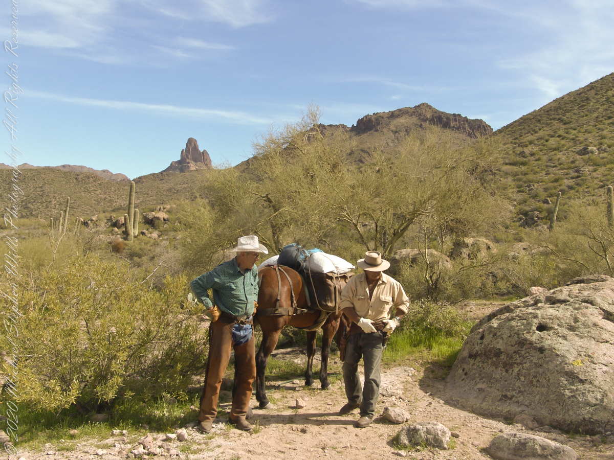
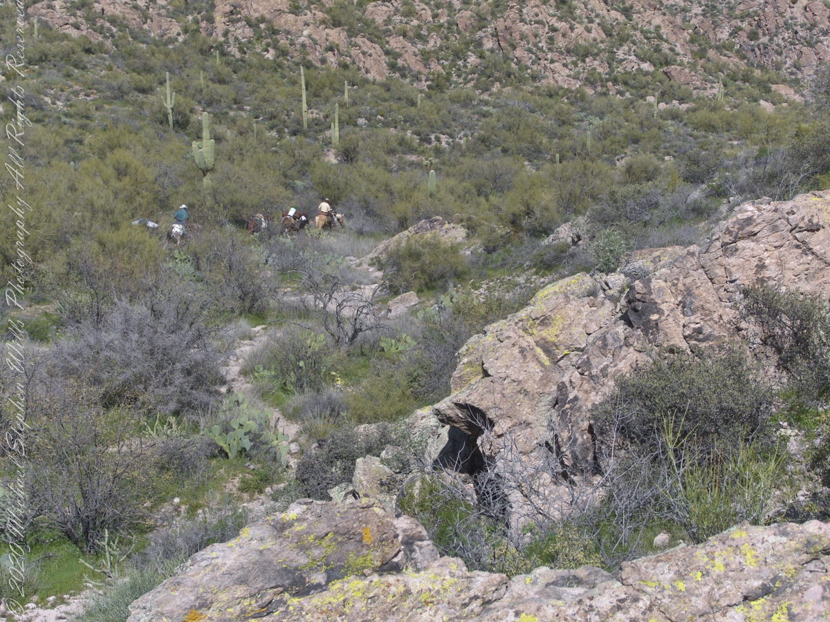
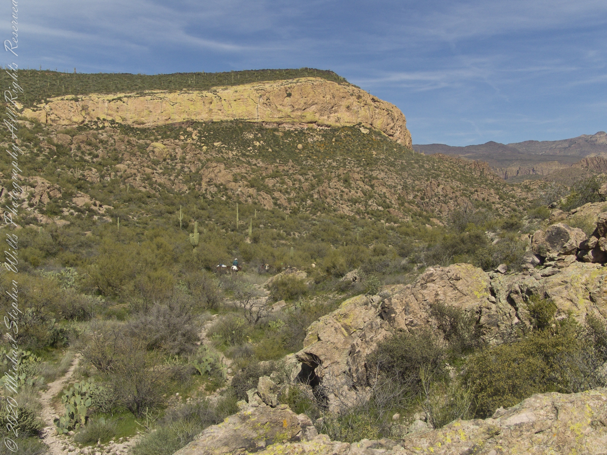
Fourteen years later, using GoogleEarth, I deduce the location to be 33°27’19.39″N , 111°24’38.58″W. After the horse party proceeded, I stayed behind to record them.
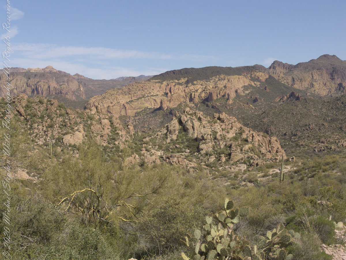
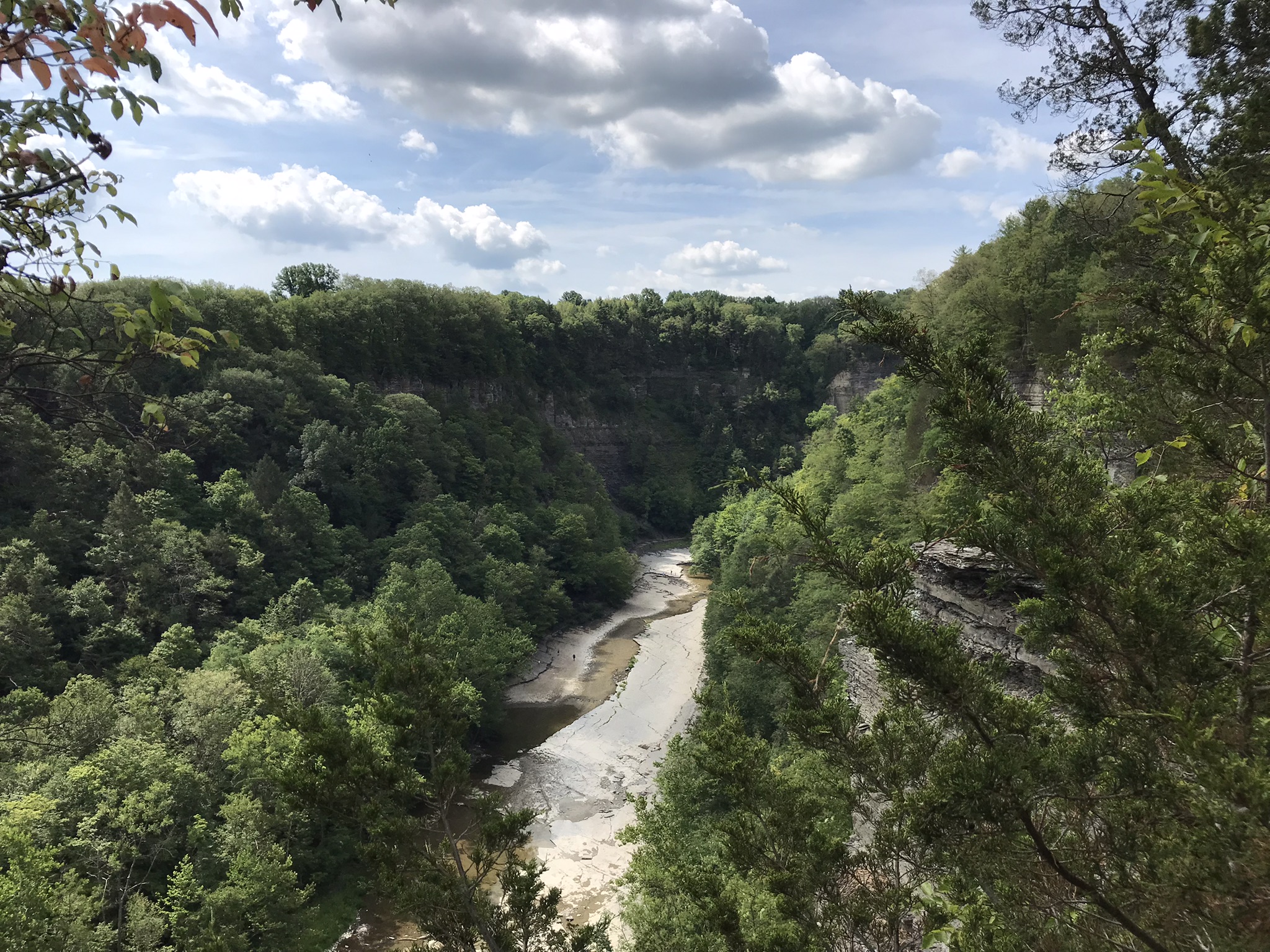
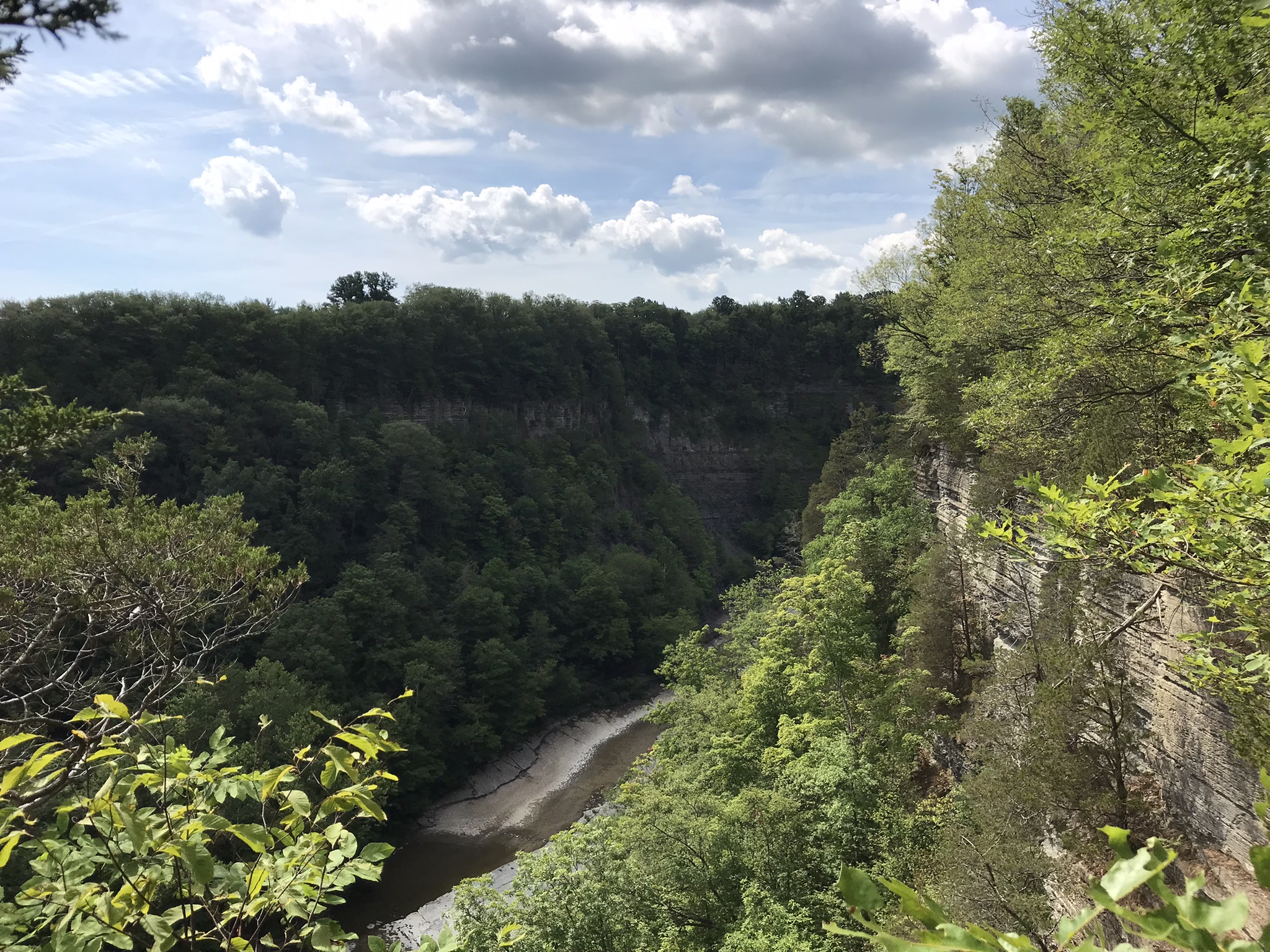
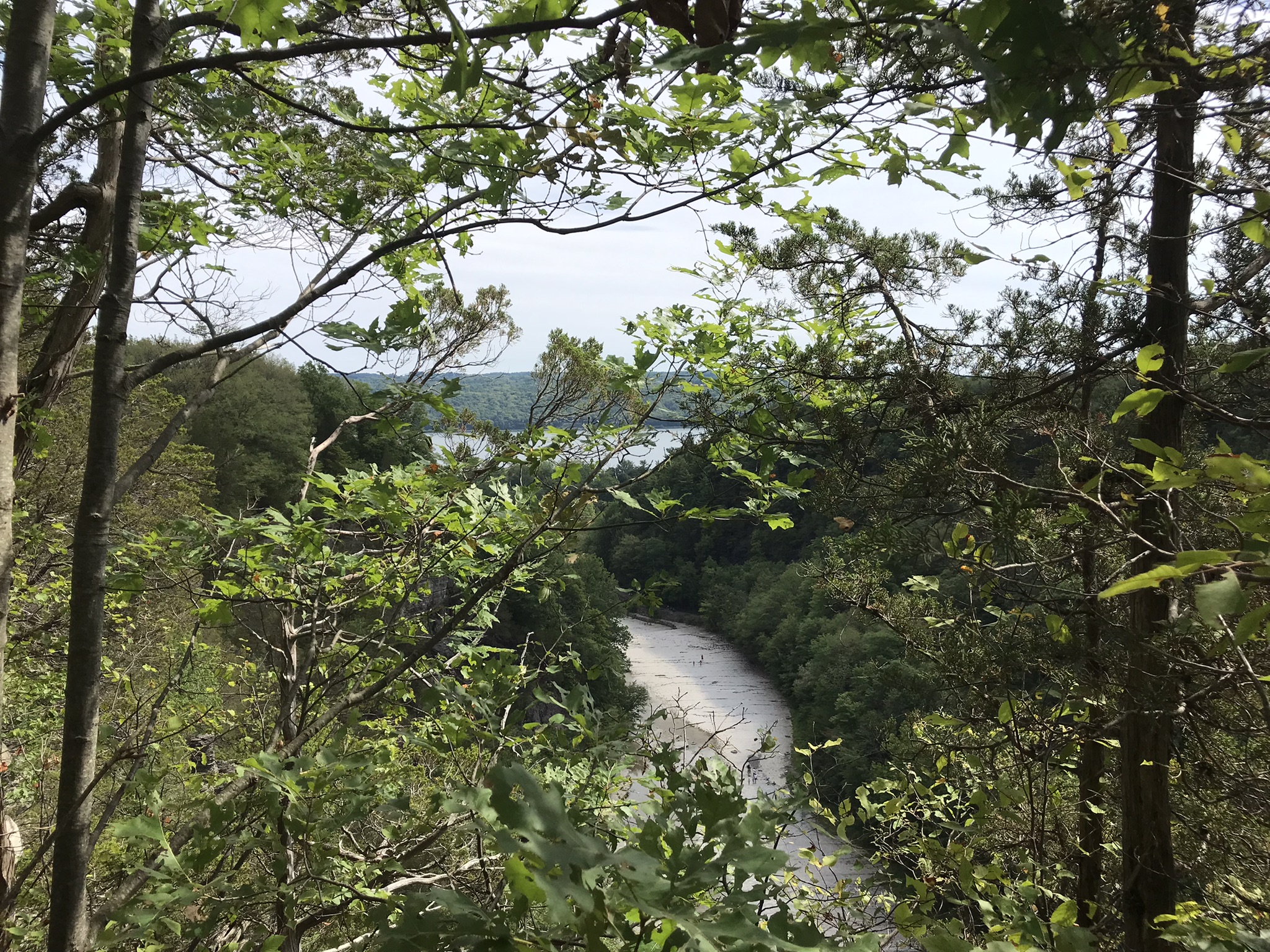
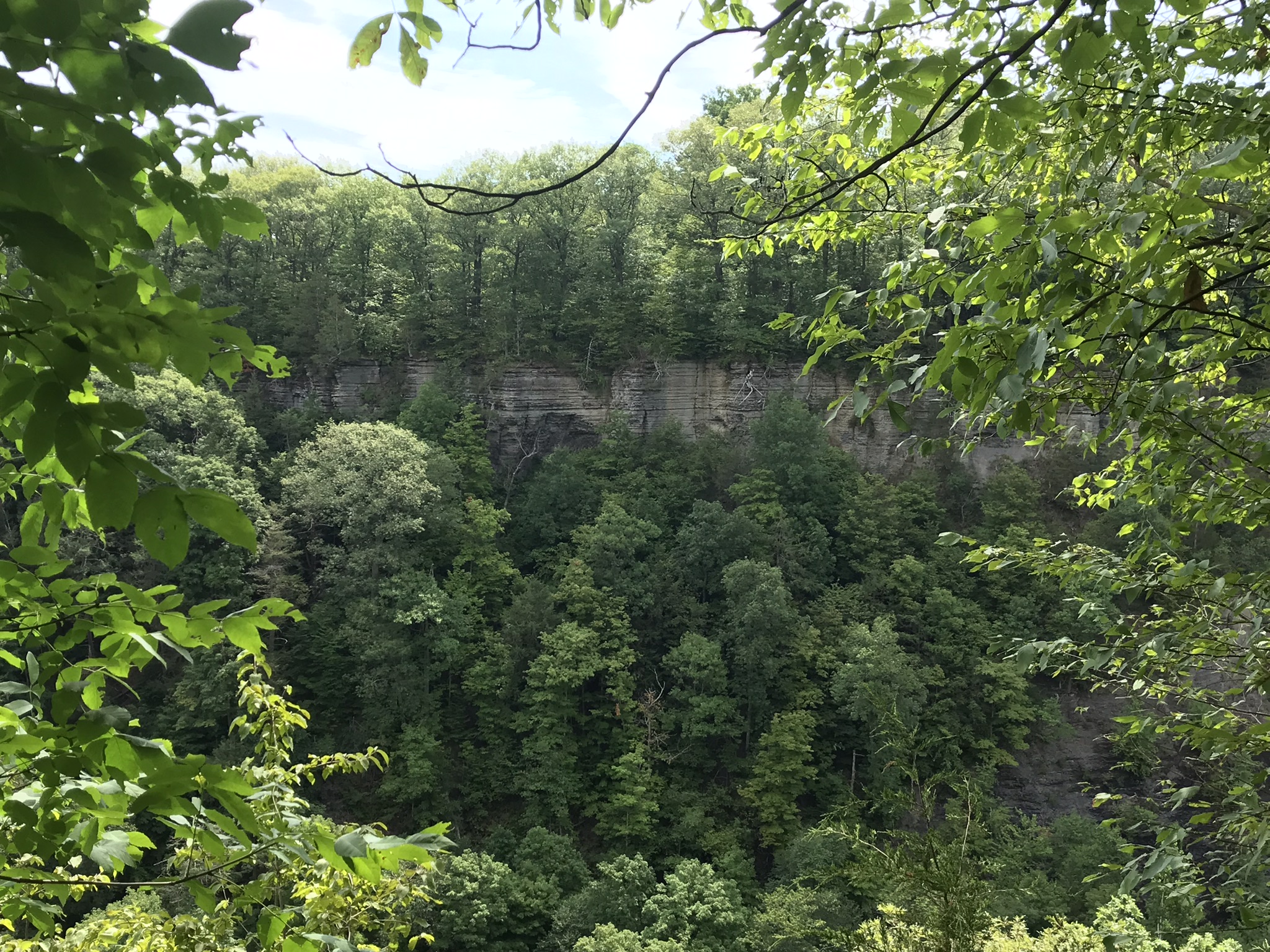
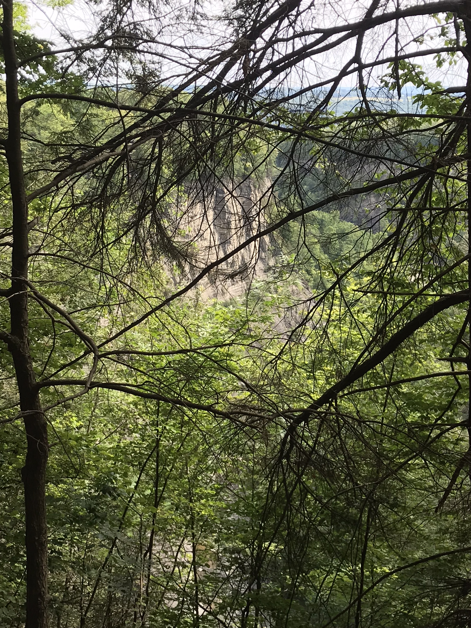
….as well as the surroundings. The geological formation is the escarpment of Black Mesa above O’Grady Canyon.
The name O’Grady Canyon piqued my interest, so I poked around the internet and found this posting from Tom Kollenborn, a well-known authority on the Superstitions.
“I was told Tim O’Grady prospected the area for about twenty-five years before moving to Washington. He was a well known character around Apache Junction from about 1945 – 1980. There are other interesting stories about Tim. I visited with him several times on the old First Water – Charlebois Trail in the late 1950’s and early 1960’s when I worked for the Barkley Cattle Company.
Tim’s Saddle was named after “Rattlesnake” Tim O’Grady a prospector who searched the Superstition for the Dutchman’s Lost Mine in the 1950’s and 1960’s. O’Grady Canyon is also named after him. The story goes something like this. A USGS map crew was working in the area around Parker Pass in the early 1950’s and came across this old white bearded prospector. They ask him about several landmarks in the area and their names. He pointed to a saddle and said that is Tim’s Saddle and the canyon on the right is O’Grady Canyon. They talked for a while about other landmarks and finally ask the old prospector for his name. He looked at them politely and said he was Tim O’Grady. The last I ever heard of “Rattlesnake” Tim O’Grady was he moved to Washington. He was 87 at the time.
Summer was the season for our visit to the edge of eternal, for now, Patagonian ice fields. Remnants from the last ice age, larger than some (small) countries. The site is surprisingly noisy with sharp, explosive, ice crackles.
More amazing even than the sounds, the dark shading on the ice is volcanic dust from recent eruptions of many cones
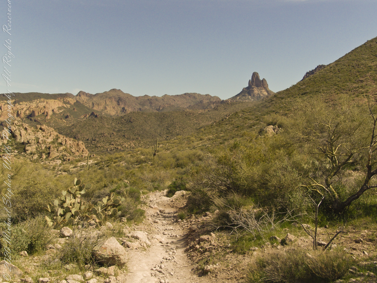
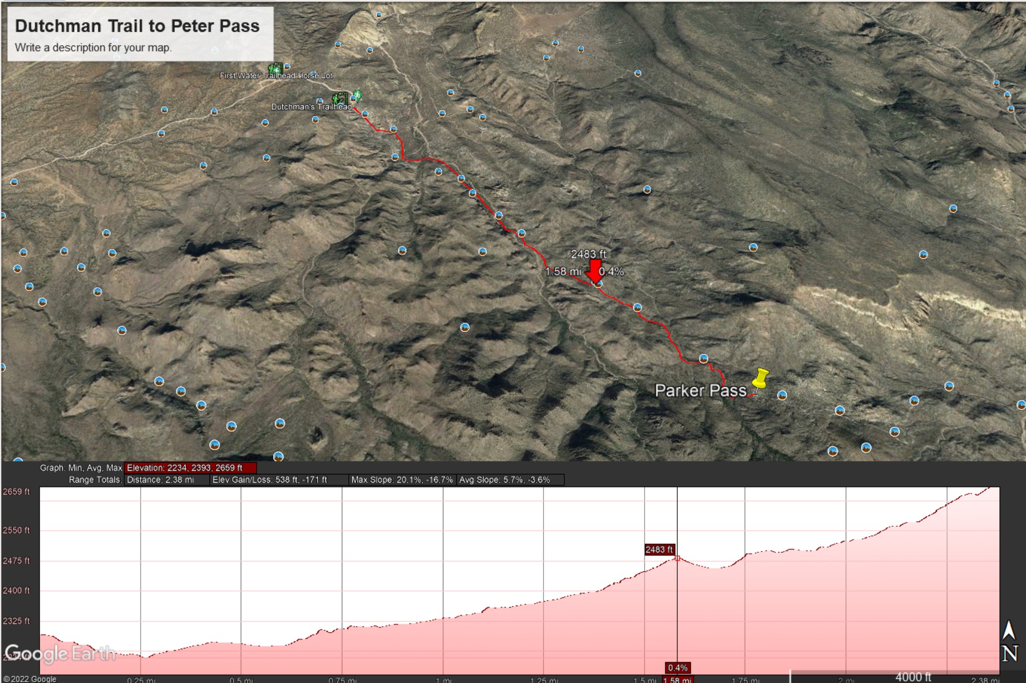
My party is out of sight, Parker Pass seems no closer, Weaver’s Needle looms 3.1 miles away over several ridges.
A sole day hiker is on the trail ahead. I carried a gallon of water with a siphon pipe, so was taking sips every so often and becoming dehydrated anyway. Ahead is the ridge of Parker Pass, the pass is the green slant of land on right.
This is a capture from Google Earth of our route to Parker Pass, with a chart of the elevation changes. I am on that last hump with a few more up and down climbs before the pass.
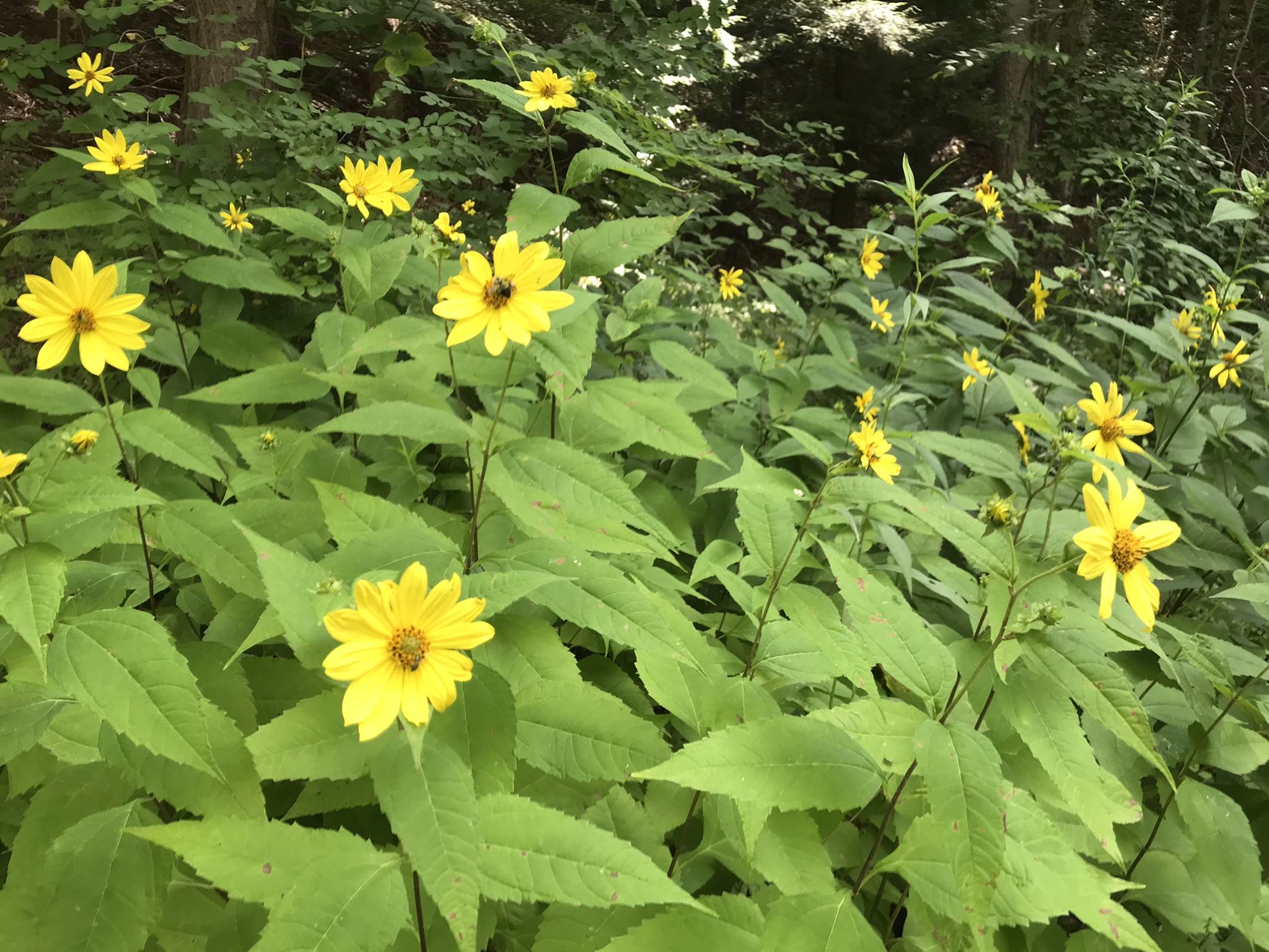
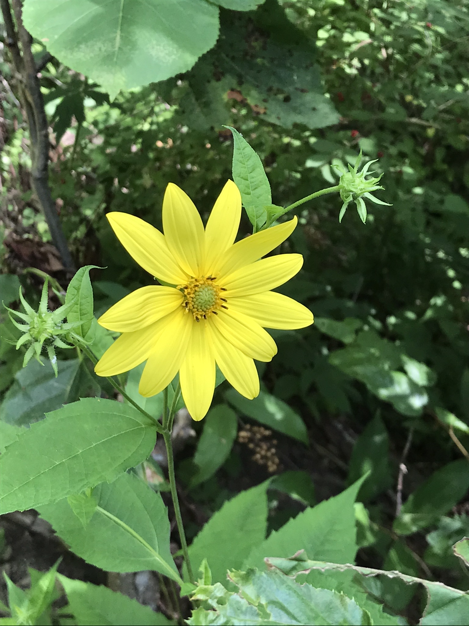
“Out in the meadow, I picked a wild sunflower, and as I looked into its golden heart, such a wave of homesickness came over me that I almost wept. I wanted Mother, with her gentle voice and quiet firmness; I longed to hear Father’s jolly songs and to see his twinkling blue eyes; I was lonesome for the sister with whom I used to play in the meadow picking daisies and wild sunflowers.”
from “Laura Ingalls Wilder, Farm Journalist, Writings from the Ozarks” edited by Stephen W. Hines”
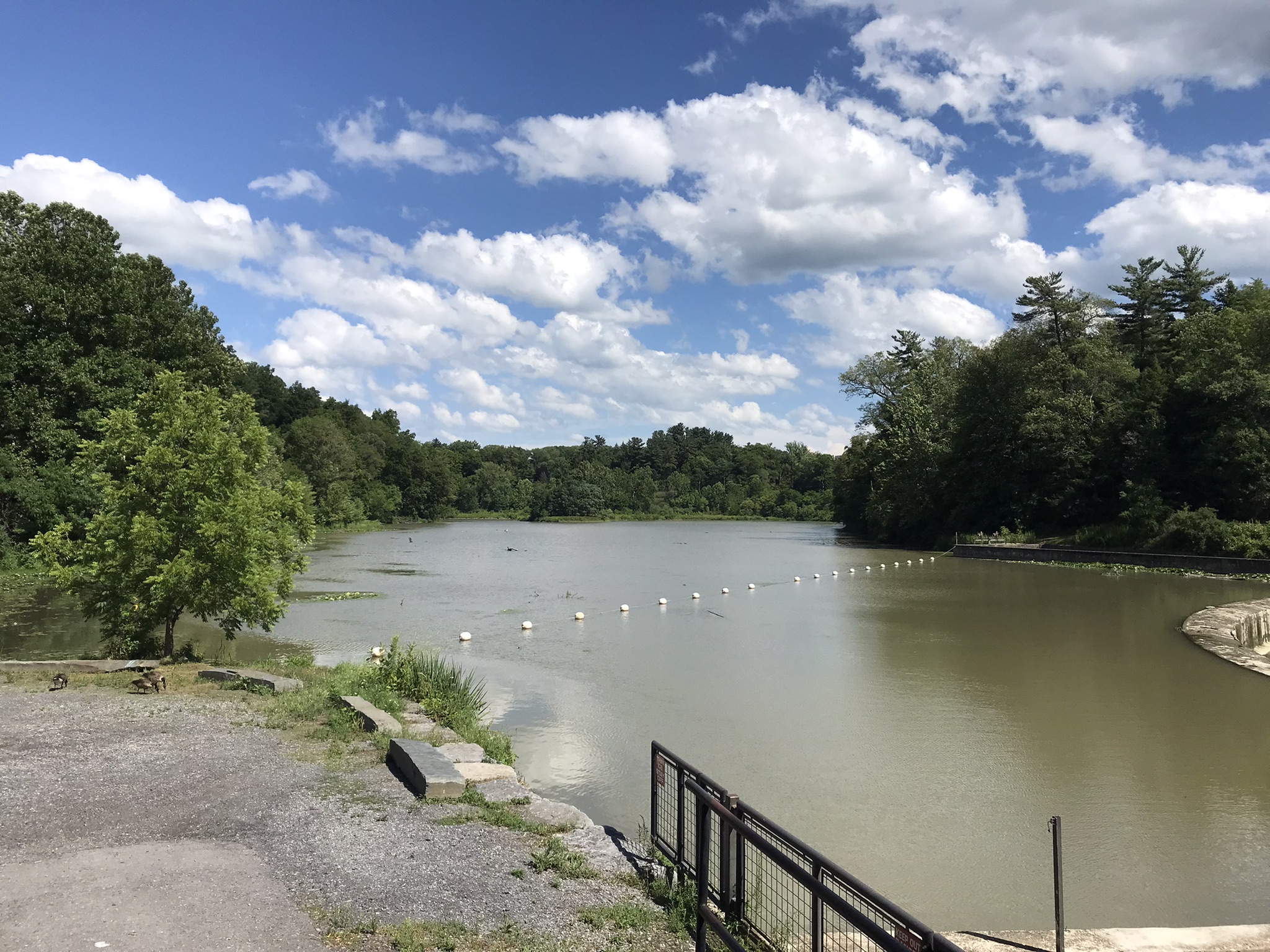
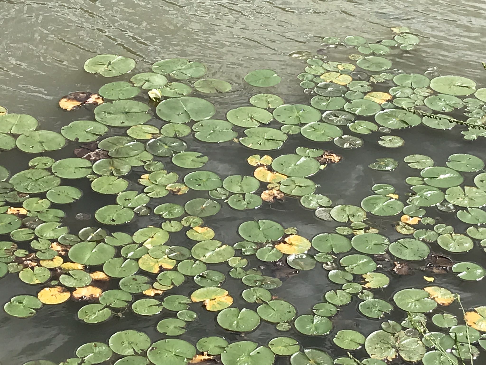
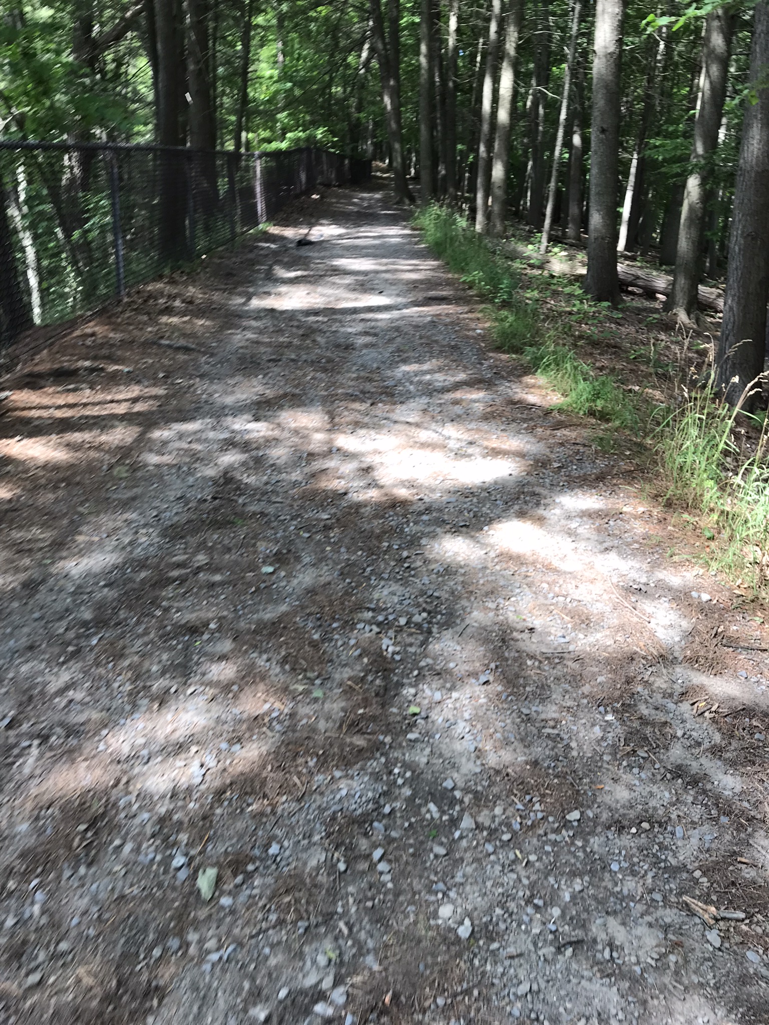
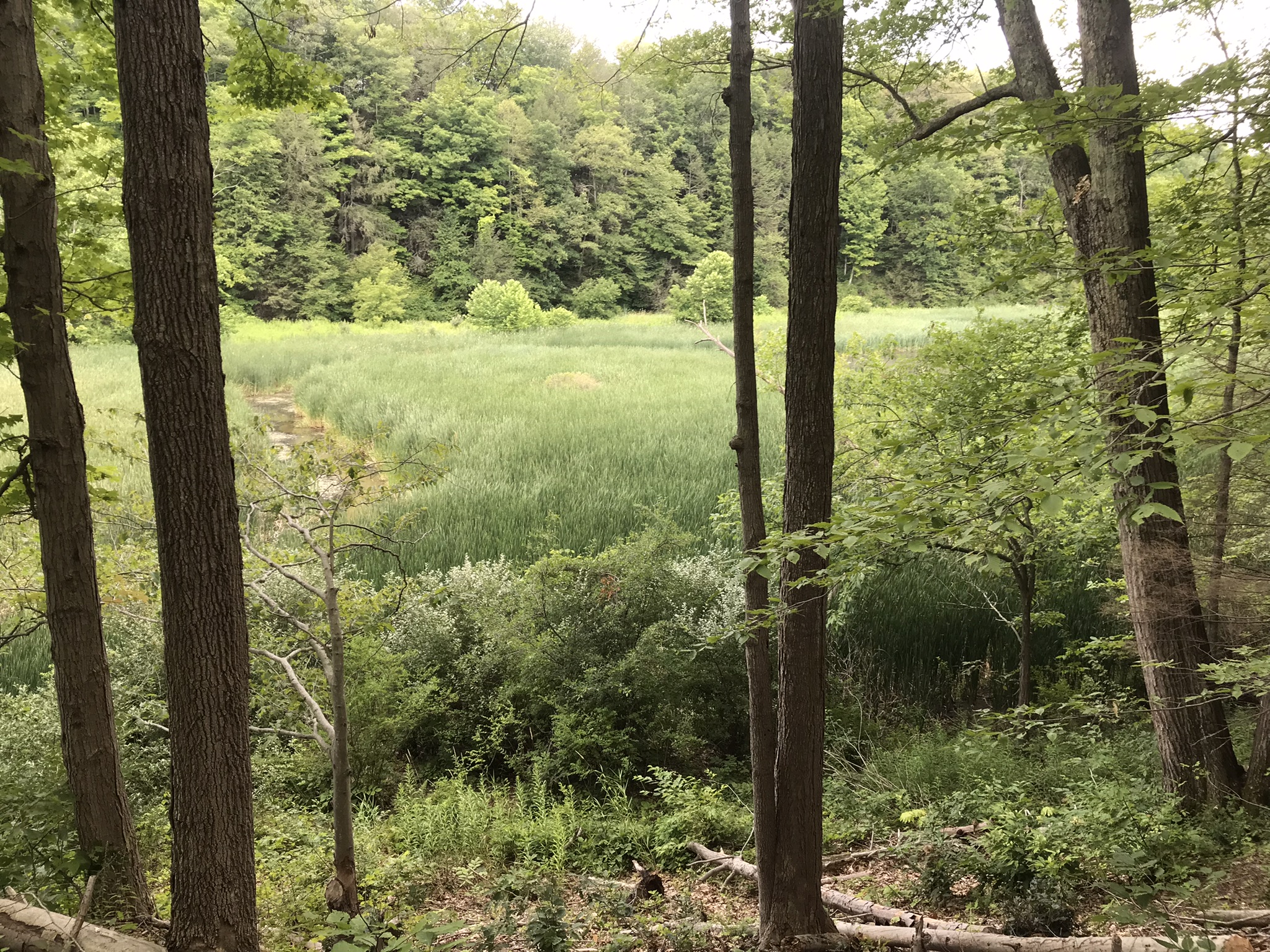
Trail sign at starting pointBeebee LakeLily Pads flowering on the north side of Beebee LakeFall Creek Gorge flooded by Beebee Lake dam
Taughannock Falls
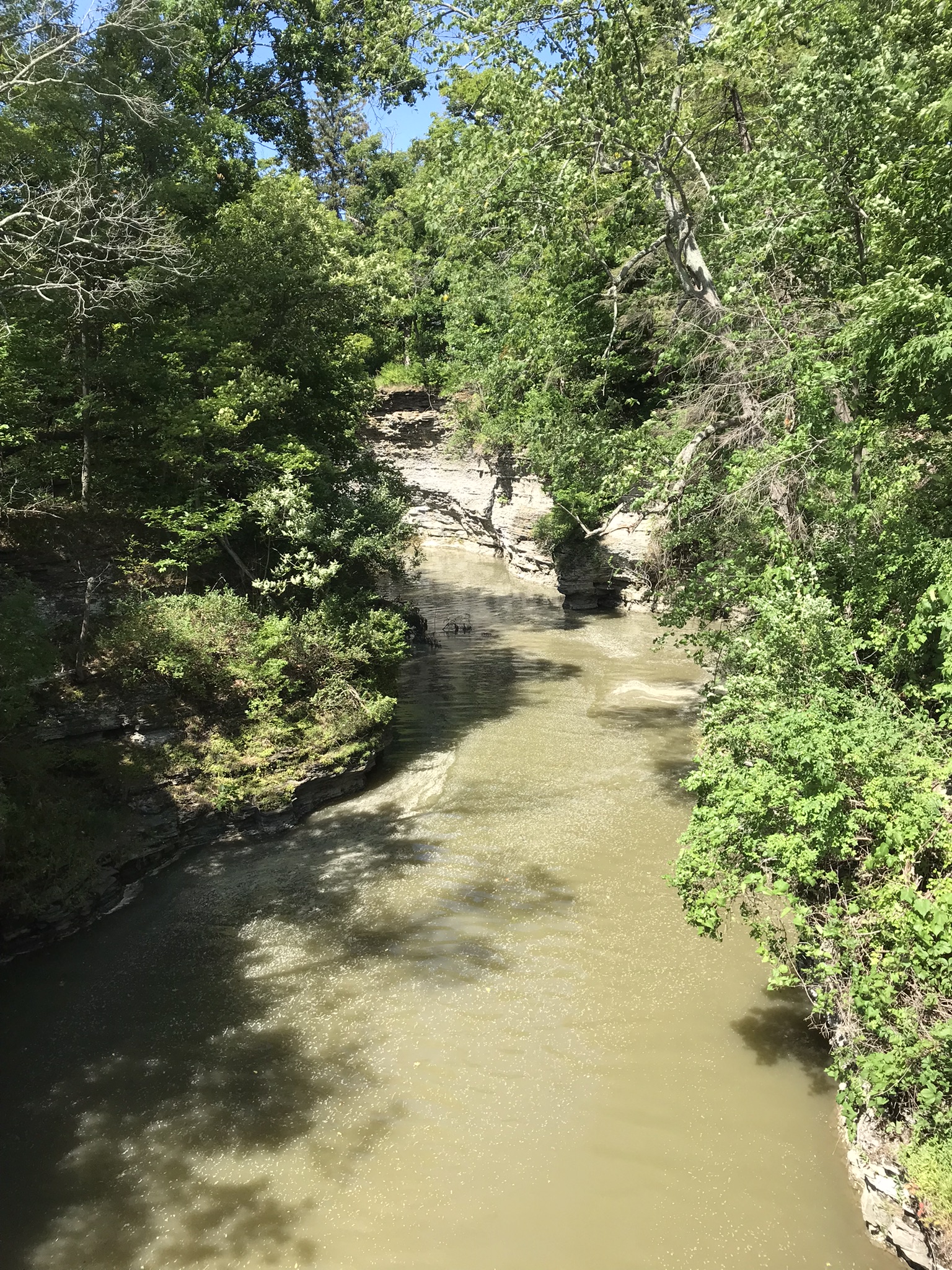
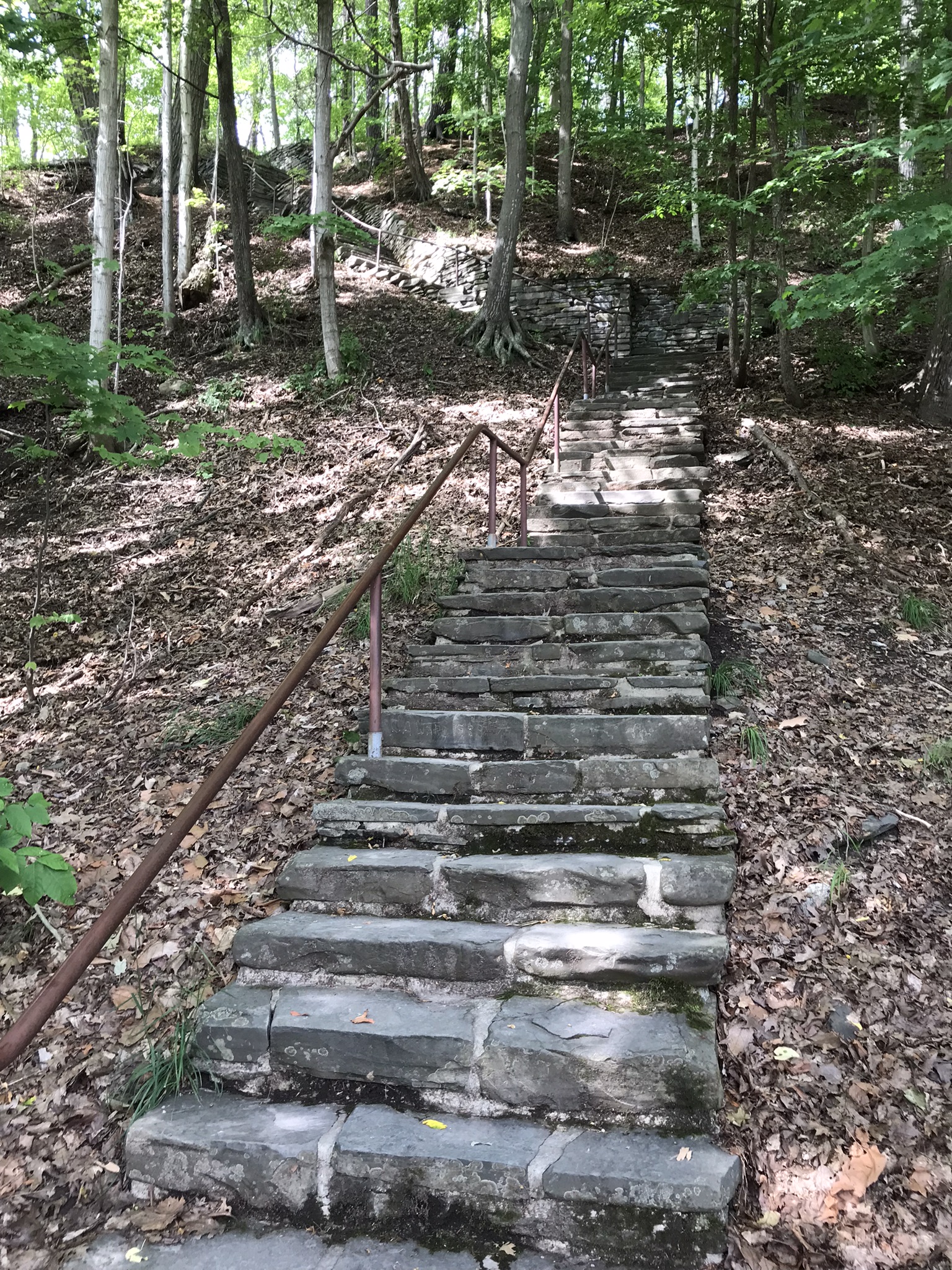
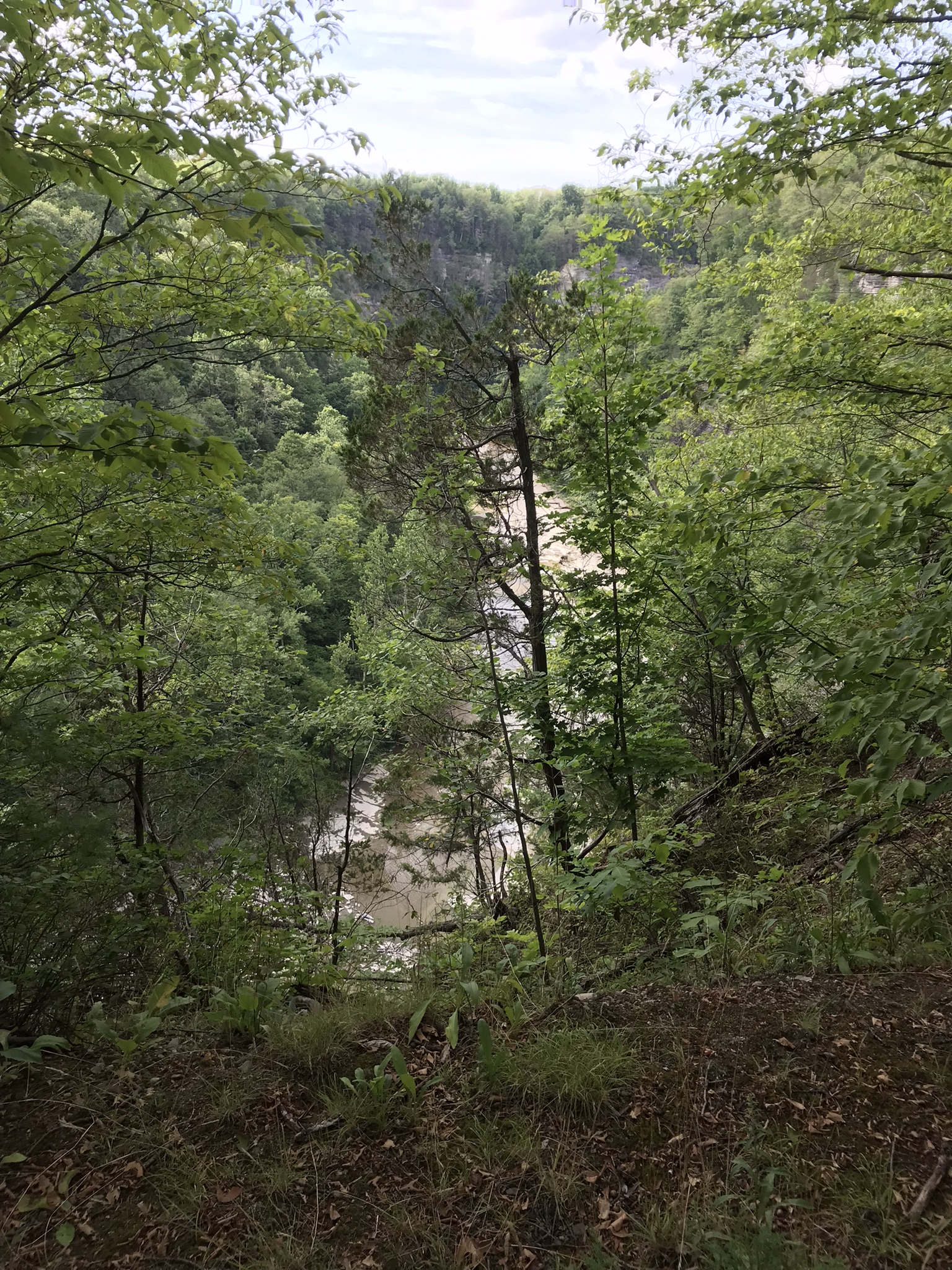
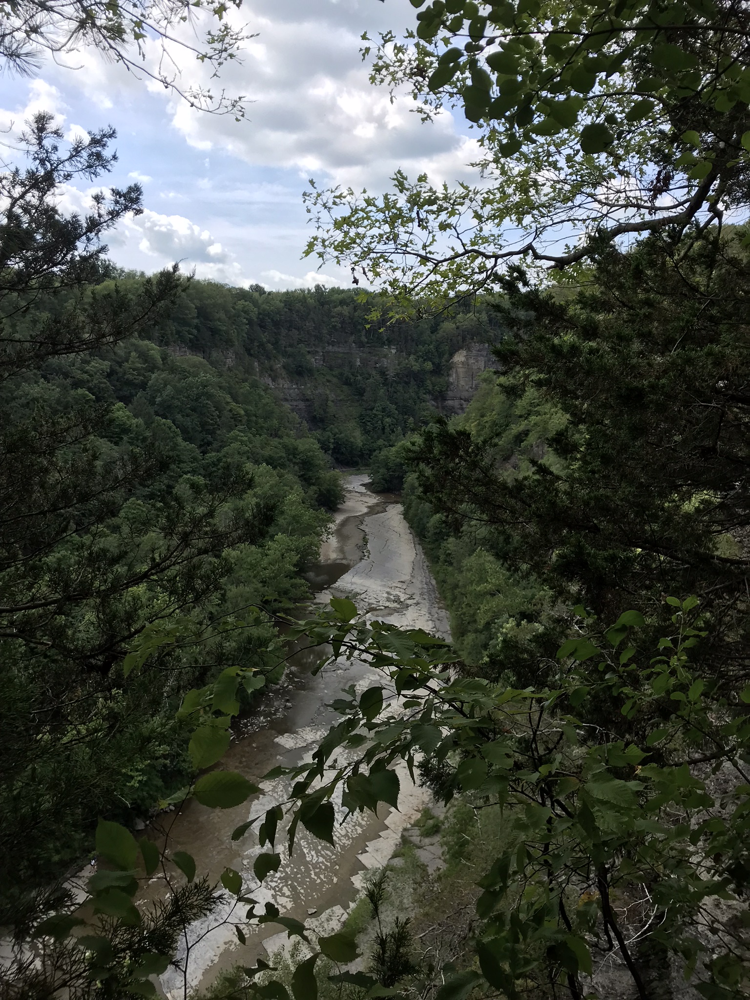
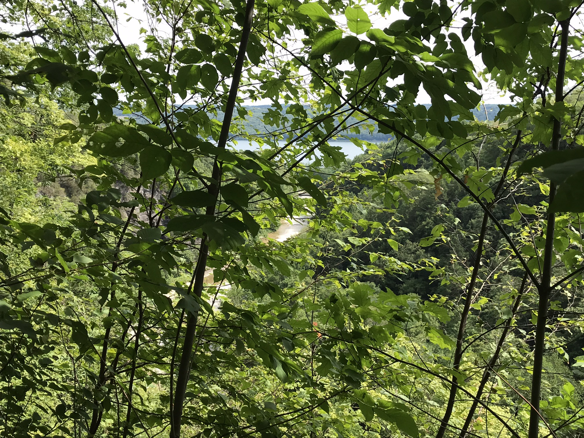
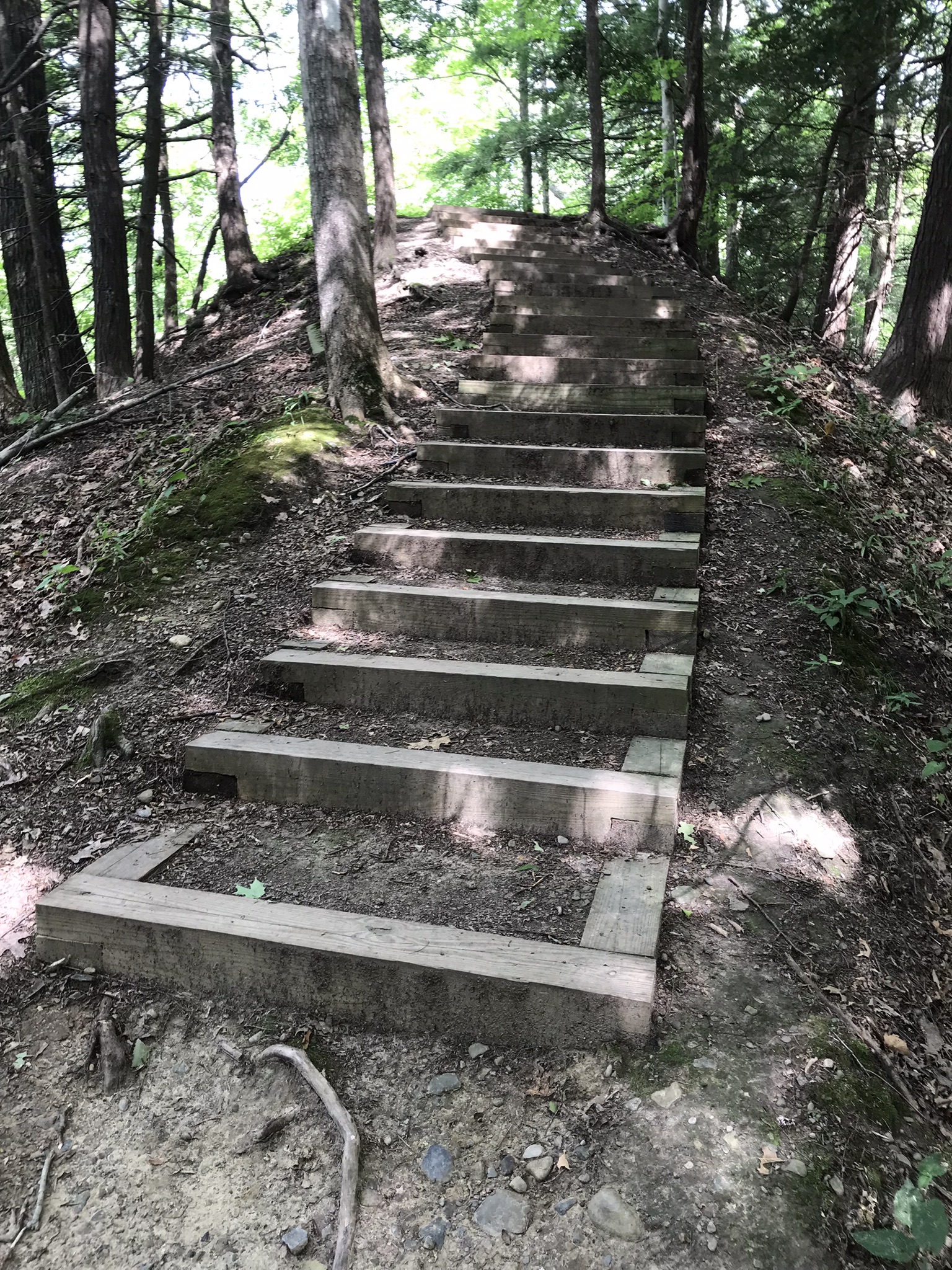
Stairs to North Rim from Cayuga Lake shoreuphill all the wayfirst view pointsecond view pointHepatica leavestrail erosionthird view pointfourth view point, northfourth view point, south with Cayuga Lake in distancefifth view point, east with only the south gorge rim visiblefifth view point, south wiht distant view of Cayuga Lakelooking into the gorge just below the fallssouth rim trail, looking into the upper gorge with native plantsmoss looking into the gorgeVultures perched on gorge walls above and around Taughannock Falls
Buttermilk Falls, upper
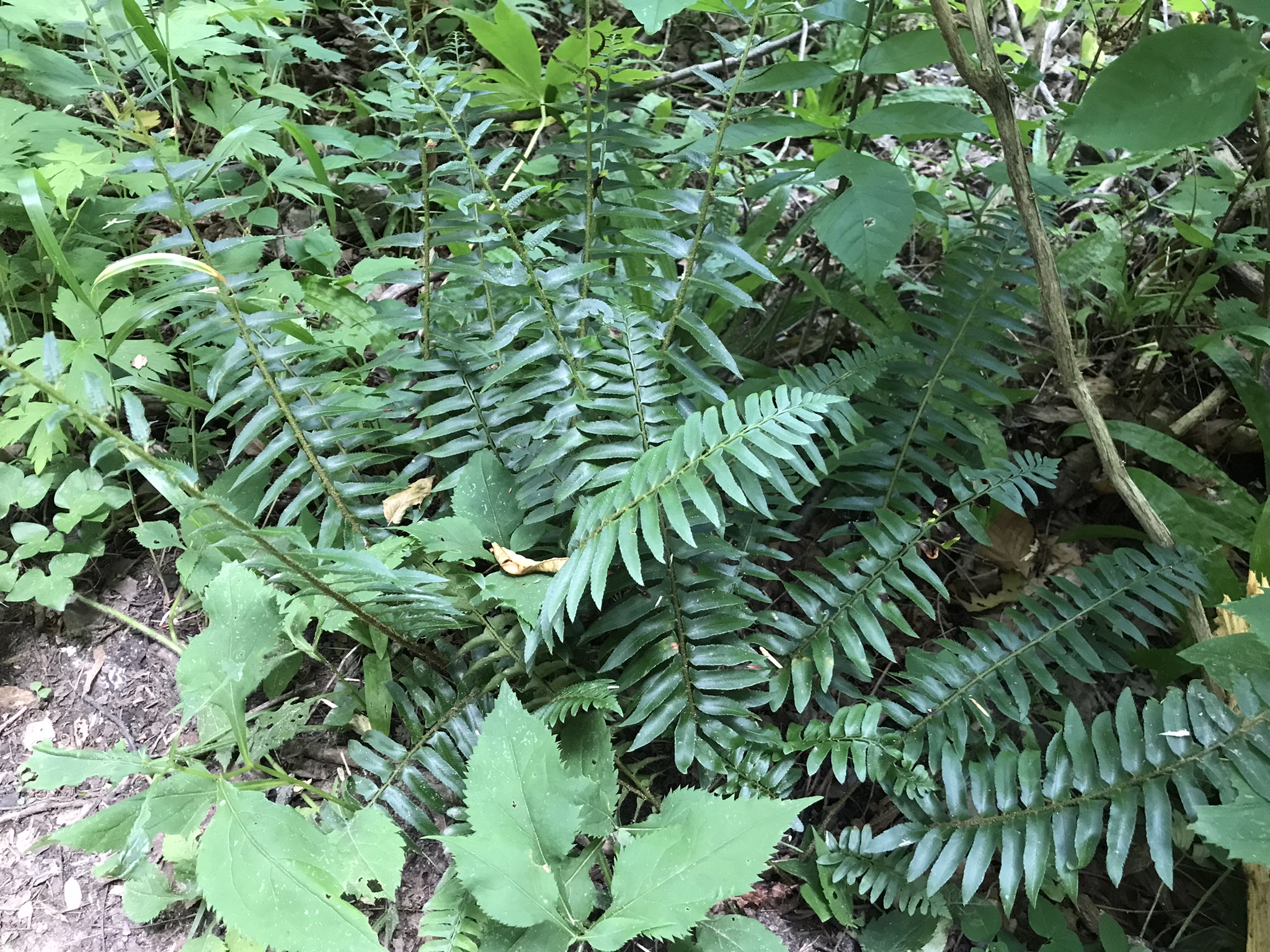
Jack in the Pulpit with spent flowerTreman Lake
A quiet moment……
Copyright 2022, Michael Stephen Wills All Rights Reserved
The end of a day trekking to East Boulder Canyon at the foot of Weaver’s Needle, Superstition Wilderness. I had a light pack with the camera equipment and supplies packed in on horseback.
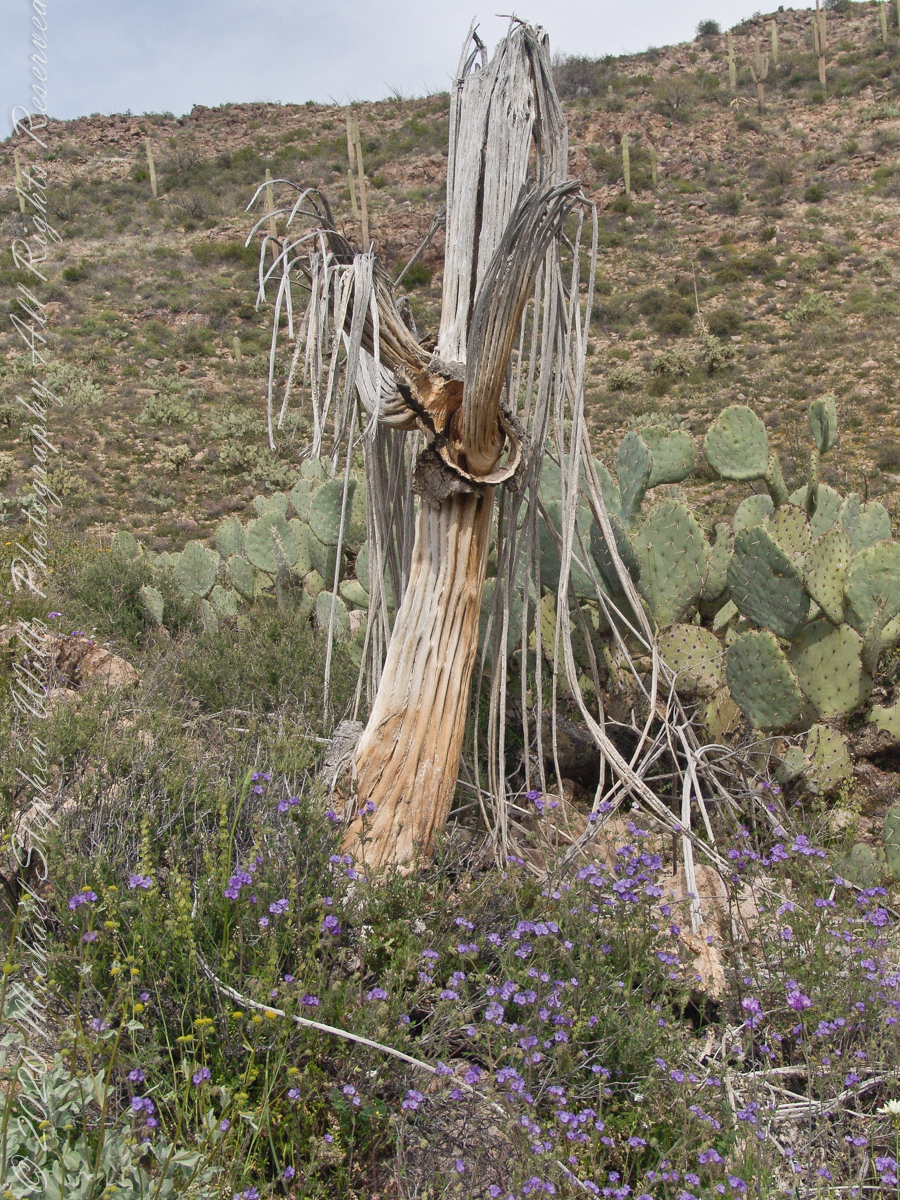
In my experience to come across the denuded ribs of an expired Saguaro cactus is to find a single one among thousands of flourishing, many-armed giants. Fourteen years ago, when this photograph was taken March 2008, a drought hung over Arizona since 1994, fourteen years. One documented effect of twenty-eight drought years is fewer young saguaro now survive into adulthood, the number of standing specimens is slowly decreasing.
On the slopes of Peter’s Mesa, Superstition Wilderness, Arizona
Here we are below the rim of Peter’s Mesa of the Superstition Wilderness. Blue Dicks flourish as the feet of the long-expired giant, the wildflowers grow from corms long used as food by Native Americans. Behind is a large stand of Prickly Pear cactus whose fruit, called tunas, is another food source.
Copyright 2022 Michael Stephen Wills All Rights Reserved