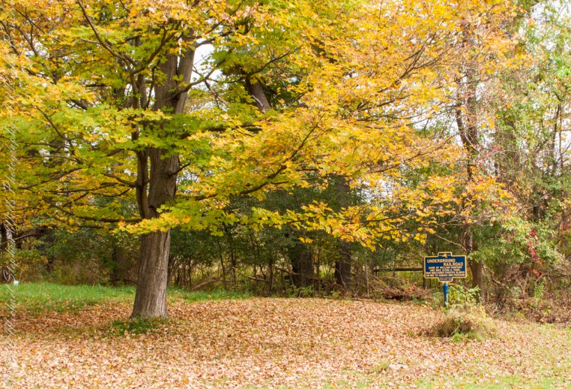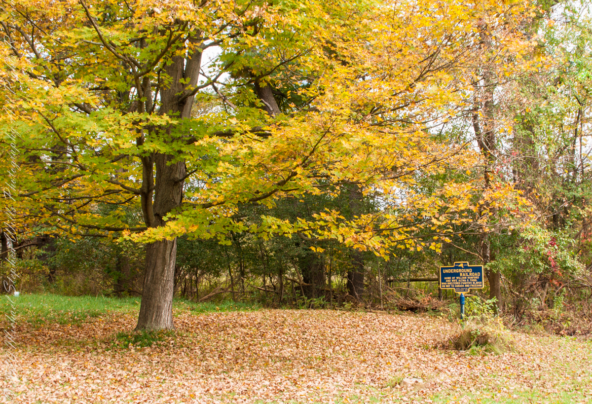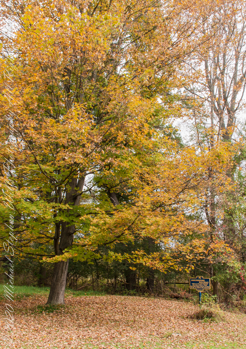
We have often travelled Lower Creek Road as an alternate route to visit my son and his family who live in Freeville, a village named for the activity of the Underground Railroad. After noticing this sign in passing for years, this week we stopped on a glorious autumn morning to capture it. I had packed the Sony Alpha 700 dslr for just such an opportunity.
Just off the road, under a maple tree in full autumn color (yellow), ground covered with fallen leaves (brown) on a fine early October morning, the sign reads, “New York, UNDERGROUND RAILROAD, HOME OF WILLIAM HANFORD AND WIFE ALTHA C. TODD, WHO SHELTERED FUGITIVE SLAVES ON THE WAY TO CANADA AND FREEDOM, STATE EDUCATION DEPARTMENT 1932”. These dark blue background, bright yellow letter signed are found throughout this region and much appreciated.
On a Tucson November 2005 afternoon, after my volunteer work for the University of Arizona, CALS college, alumni board of directors, in the mid-afternoon I headed for Sabino Canyon with my photography kit.
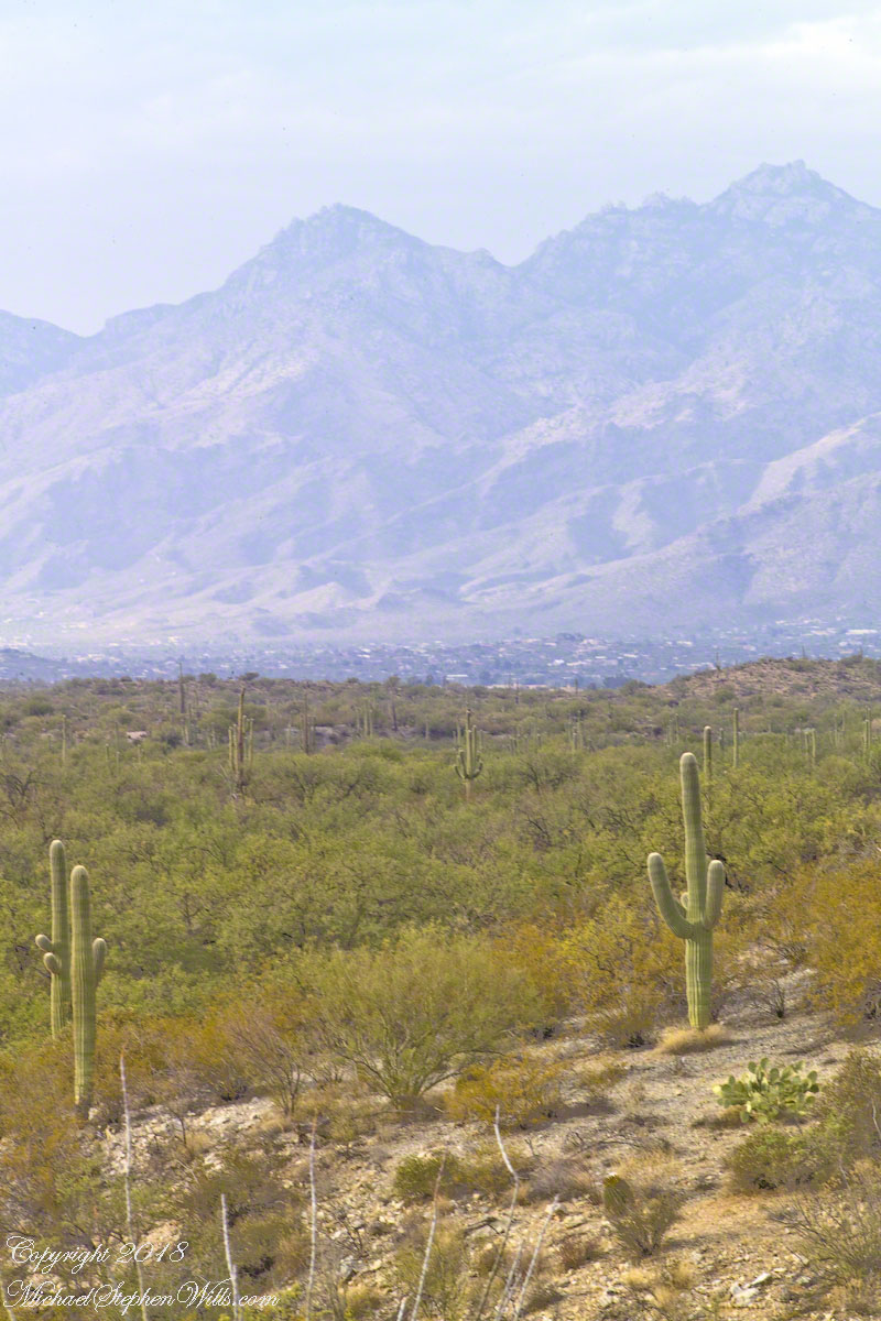
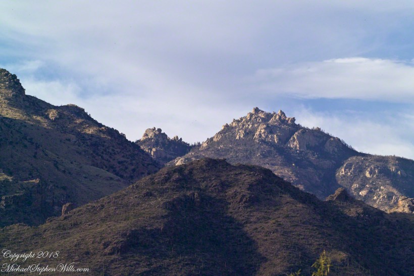
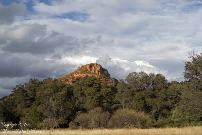
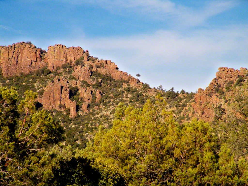
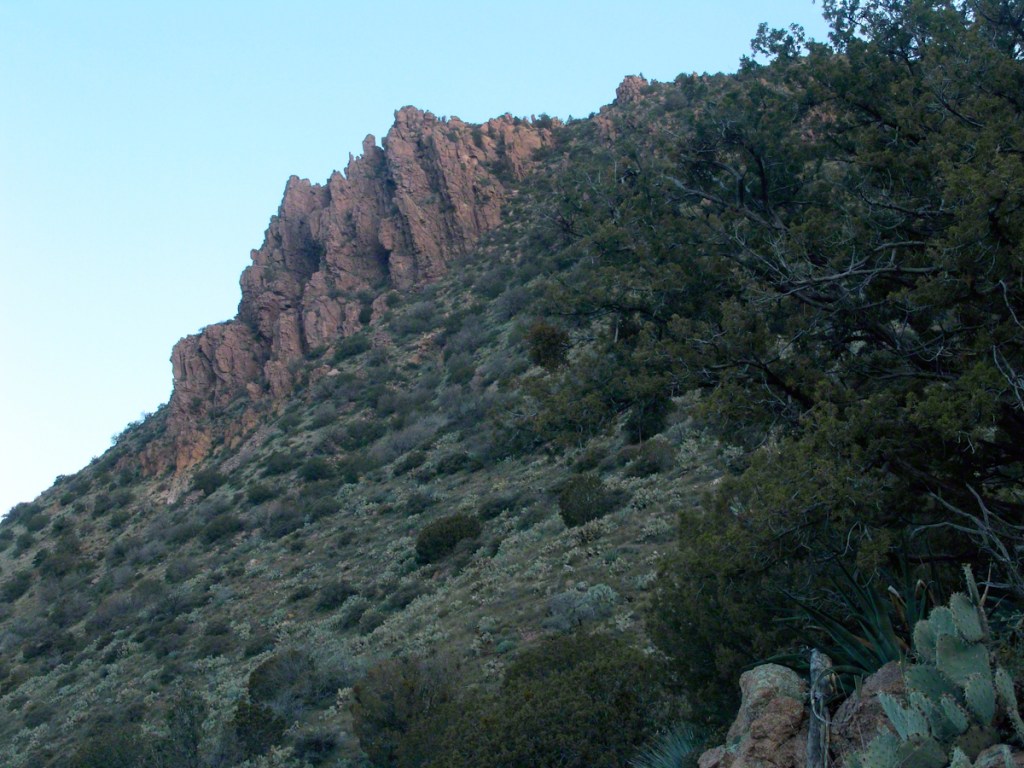
With a 25-pound pack on my back, walking from the parking lot I looked up at the incredible rock formations of the Santa Catalina mountains. It took some time to set up the tripod (at that time I was using a cheap swivel head on adjustable aluminum legs) with a 200mm telephoto lens (Canon L-series EF 200mm USM) I grabbed this shot of the hoodoo fringed peaks beyond the foothills (f16, 1/30, ISO160). The lower sun angle made the formations pop out.
Hoodoos in the Hills
You call those strange formations of upright rocks “hoodoos. Some people believe the fantastic shapes were created by spirits, today the explanation is wind, water and time create hoodoos from rock of the right stuff. It is a wonderful experience to wander among hoodoos, though unsettling because some of these large rocks are seemingly in danger of falling over at any moment.
Moving On
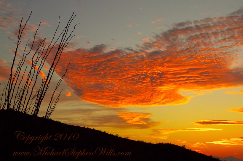
I have a mental list of photographic “to do’s” and the gathering clouds, typical for a Tucson November day, reminded me an awesome desert sunset was on this list, so I packed up to head for the east side of Tucson for a shot looking toward the Tucson Mountains (on the west side).
Clouds gather at sunset above a ridge serrated by saguaros.
Click any photograph to view Ocotillo Sunset
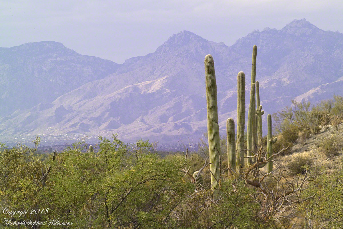
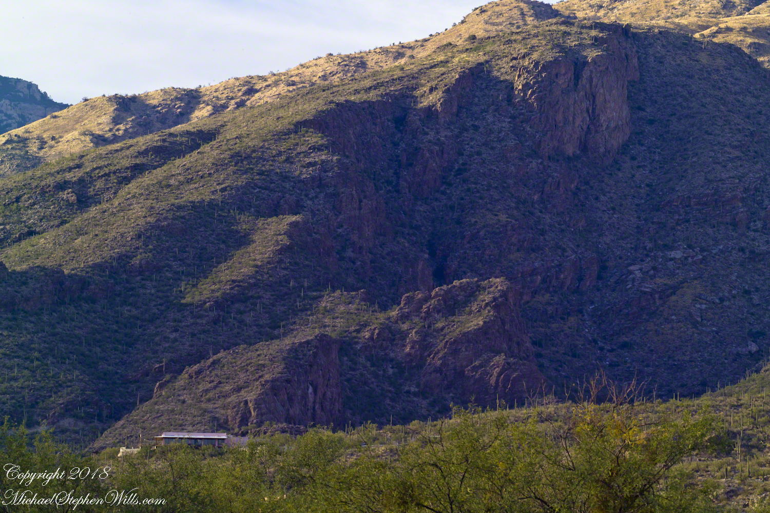
Sabino Canyon House
Before we move on, this is a fascinating image of a typical southern Arizona house perched on a ridge at the mouth of Sabino Canyon. In this image the viewer sympathizes because the telephoto lens gathers the majestic rocks around the tiny structure.
The house is perched on a Santa Catalina foothill ridge running east west, a wall of picture windows facing south with a view across the Tucson valley toward Mount Wrightson of the Santa Rita mountains, 42 miles distant. Summer thunderstorms gather on this peak, wreathing it with lightening. These times, evenings and night, the view pays for the inconvenience of this distant, hot ridge. Another time to be there is for sunsets.
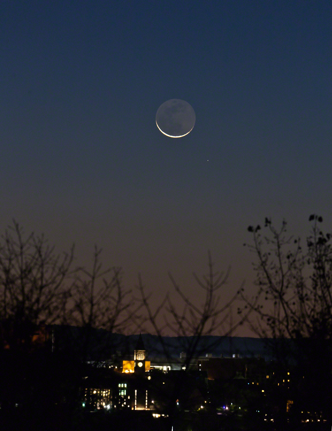
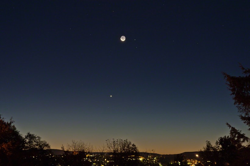
Here are two photographs taken about the same time, 6:30 am, October 18, 2017, companions to the photograph shared earlier this week.
The moon rises later each day, so these shots include a larger disk closer to Cornell University. Both components, the crescent and earth-glow, were dimmer this morning. In each photograph Jenny McGraw Tower is visible.
The star is Regulus, the brightest in the constellation Leo, close below the moon. I don’t know the star close to Venus.
Here the tower is slightly to the right of the crescent, the arch of Schoellkopf stadium further right. Among the trees on left, is the baleful red glow of Bradford Hall.
The tower is outlined by the lights of Uris library, presumably filled with early rising students.
The light of Regulus (“small king”), below and to the right, is a composite of four stars moving together through space. The position of Regulus on the path in the sky of the moon, planets and asteroids (called the ecliptic) leads to the occultation of the star by the disks of the moon and, less regularly, the planets and asteroids.
Copyright 2021 Michael Stephen Wills All Rights Reserved
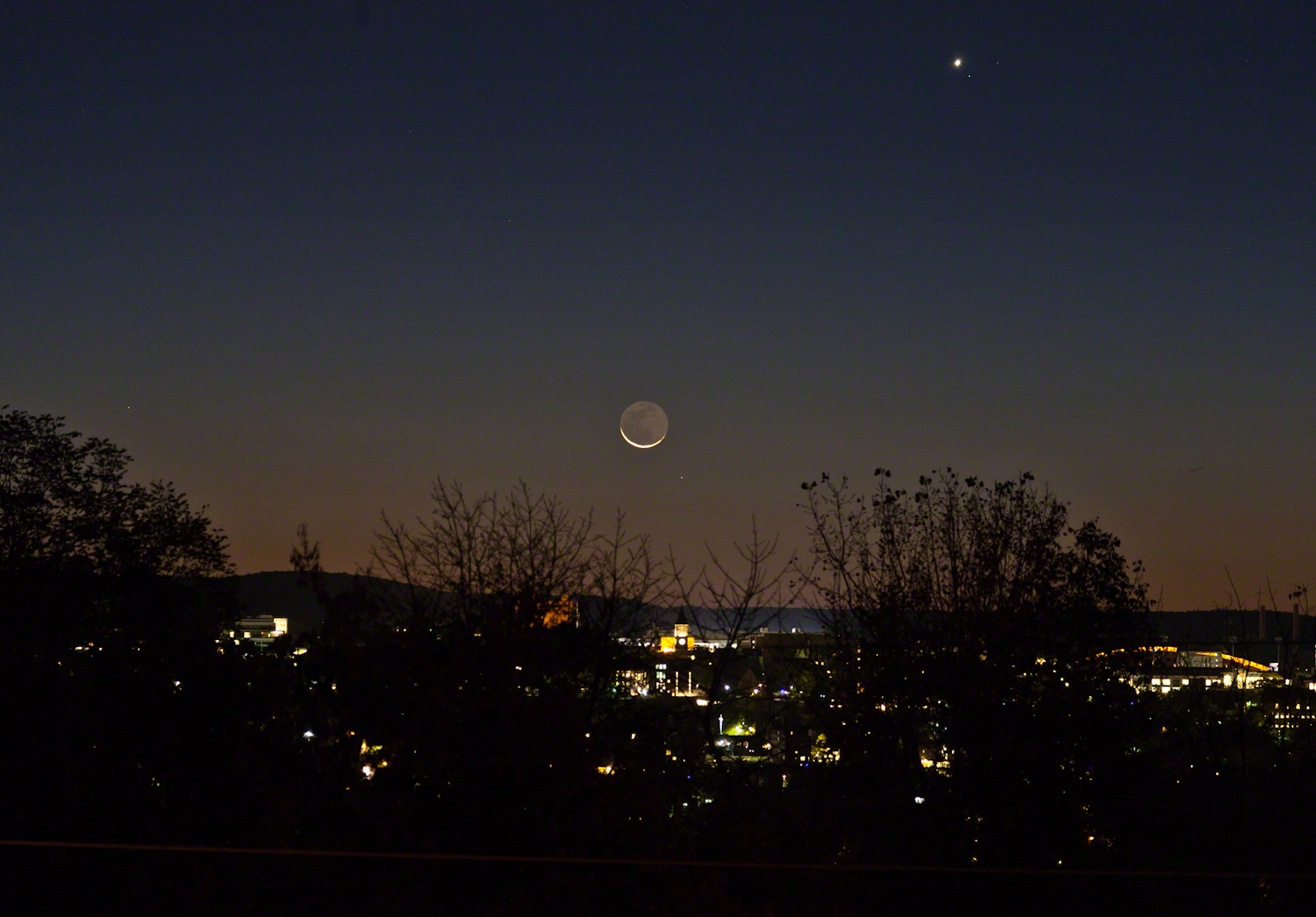
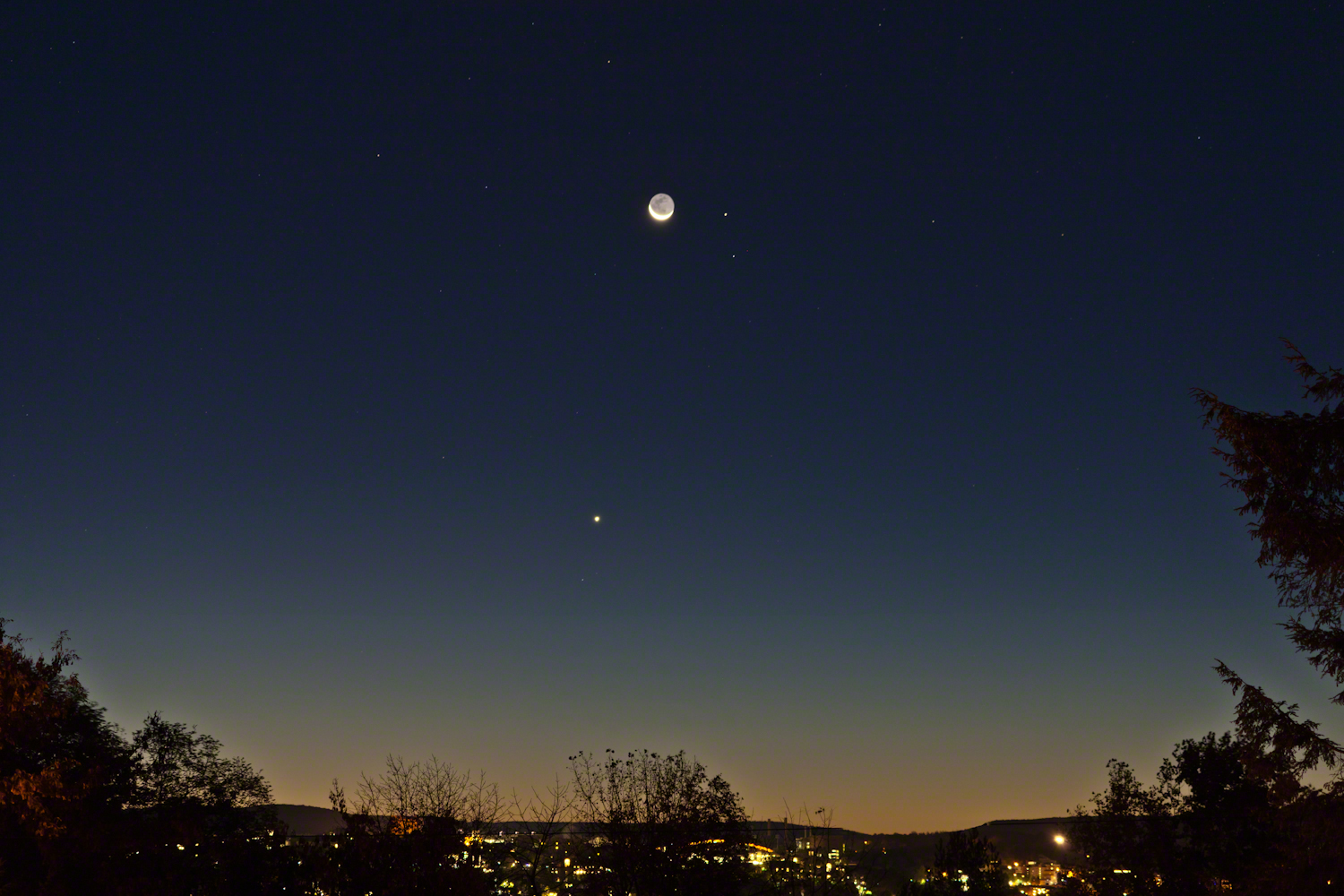
A thin crescent bowl filled with earthglow floating above the dawn attended by Venus, Mars, Virgo.
This was the view from Ithaca, New York at the start of dawn this morning of Tuesday, October 17, 2017. Mars is next to the moon, the stars of the constellation Virgo scattered around, Venus is the bright object below. We had a bright, clear sky not unusual for September and October.
In the city, an arch of Schoellkopf Stadium on the Cornell University campus. Cornell is on east hill. We live on west hill, across the valley. It is quiet on west hill, away from the students.
Earlier this week the crescent was in the constellation Leo where the bright limb occulted the bright star Regulus, to reappeared from behind the dark limb, a brilliant spectacle that happened after dawn for New York. It was cloudy, as usual, on October 14.
When I woke, the moon was shining through the trees, still full of just turning leaves. The crescent turned, cup like, above the horizon, to cradle the dark orb glowing from the reflected light of our earth. I did not recognize Mars, the disk was less red than usual. Research revealed the moon had two planets in seeming attendance. I also learned that, when the horns point right the moon is waning, moving toward a new, or un-illuminated, moon. When the phase moved from new it is also a crescent with horns pointing left.
This morning was a fortunate gift, I had never contemplated the moon in quite this form before.
Copyright 2021 Michael Stephen Wills All Rights Reserved
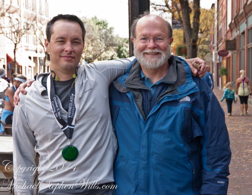
October 5, 2014 found Pam and I at Keuka Lake after my son completed the Wine Glass Marathon. Here we are at the finish line in Corning, home of the Corning Glass Factory. You may know it from your set of Correlle dinnerware.
Marathoner and his proud father
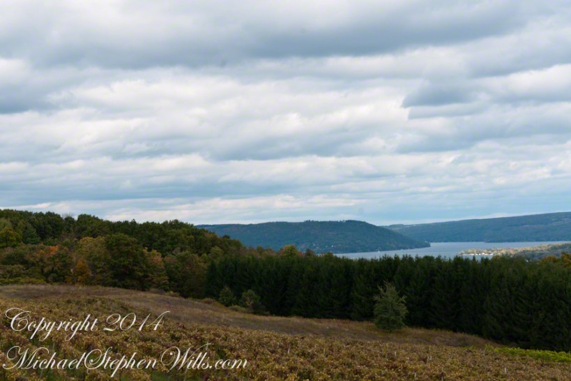
Afterwards, Pam and I made it up to the Dr. Frank Winery for a tasting followed by dinner at a local restaurant. Here is a photograph from the same viewpoint, using the “zoom” setting of my Sony DSLR A700. The view is more interesting than the winter shot of “Keuka Lake Winter I” from the autumn clouds and the burst of late day sun on the eastern lake shore.
This is the juncture of the “Y” shaped lake where the two arms joint the long foot. The pointed high headland is the point where the two arms meet. We are looking north here. The western arm, on the right, is unique in that the water is flowing down into the juncture. In Keuka Lake the water flows in two directions. The flow of lake foot and eastern arm is in the opposite direction, Keuka Lake empties at the top of the eastern arm, eventually reaching Lake Ontario.
North View from Overlook using “Zoom” lens
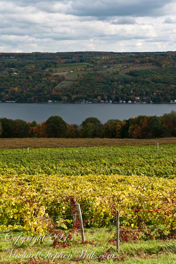
Here is the eastern view, from the overlook, looking over a vineyard ready for harvest, covered with fruit and leaves. Every once in awhile there is a loud “bang” from a noisemaker used to discourage birds from feasting on grapes. The buildings along the shore are summer cottages, Keuka is lined with them.
East View on an autumn afternoon
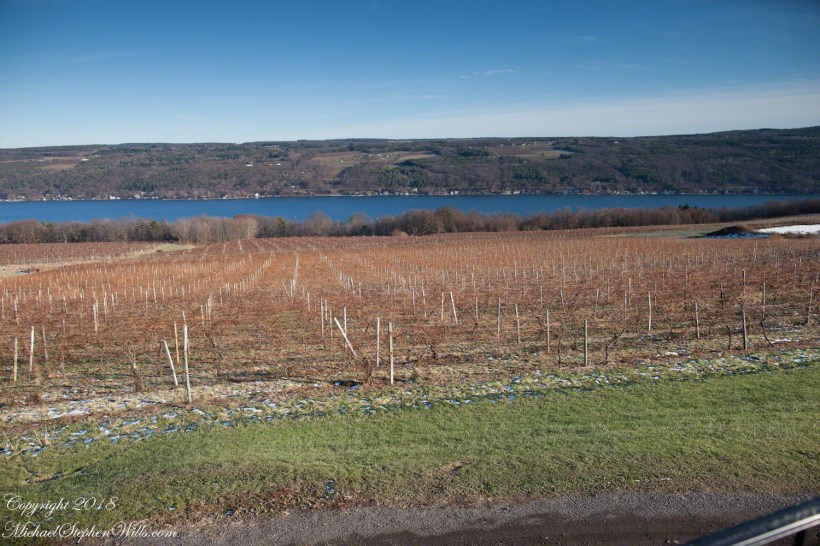
The same view, from our December 2018 visit. The vines are bare, the fallen leaves cleared, the vine roots covered under banked earth to protect them from the cold.
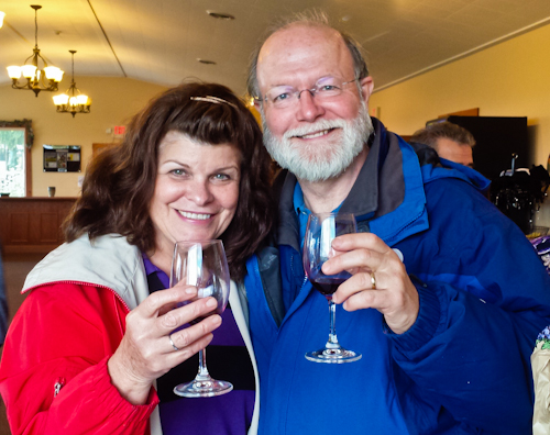
Pam and I, enjoying wine after the 2014 Wine Glass Marathon. Cheers!!
These are photographs from my Superstition Wilderness postings.
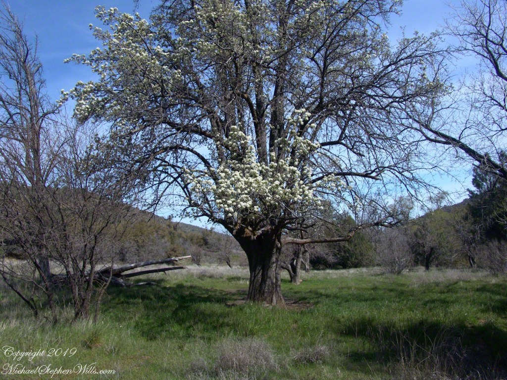
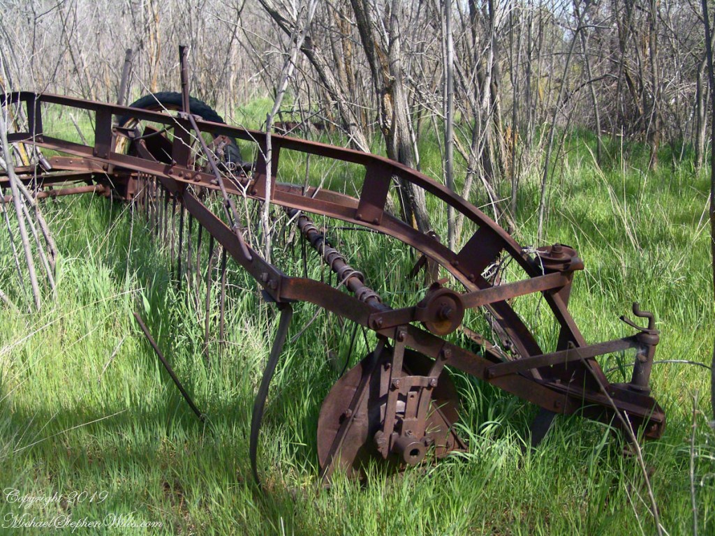
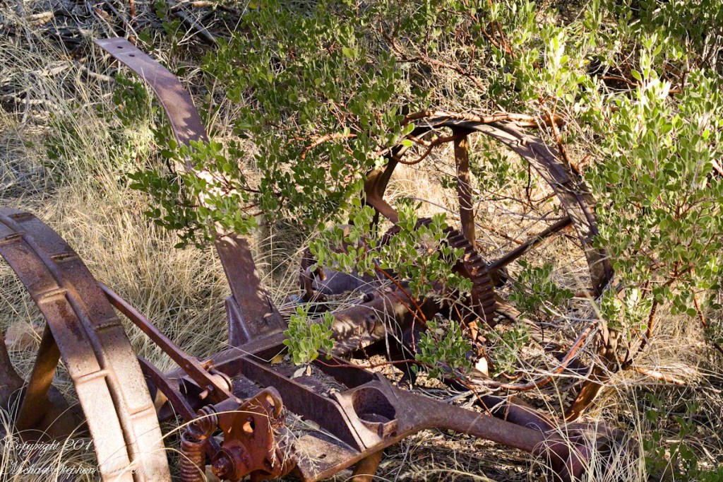
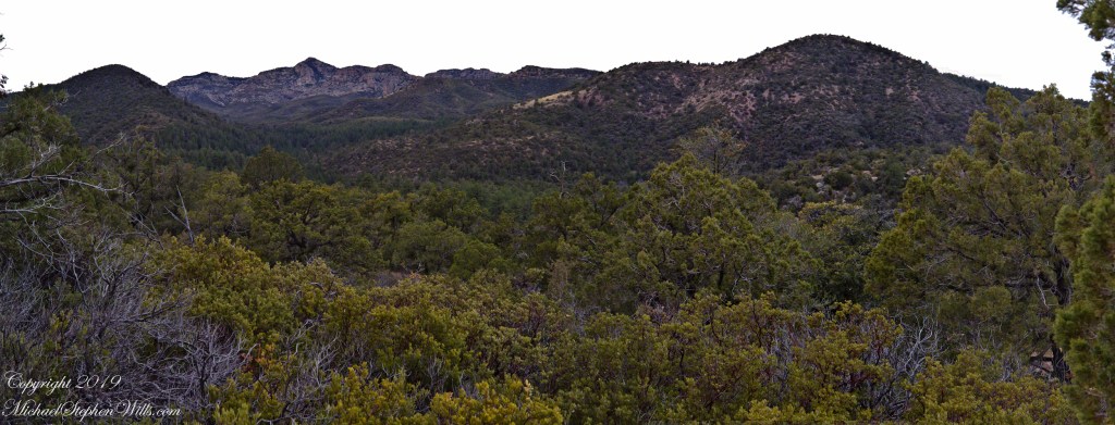
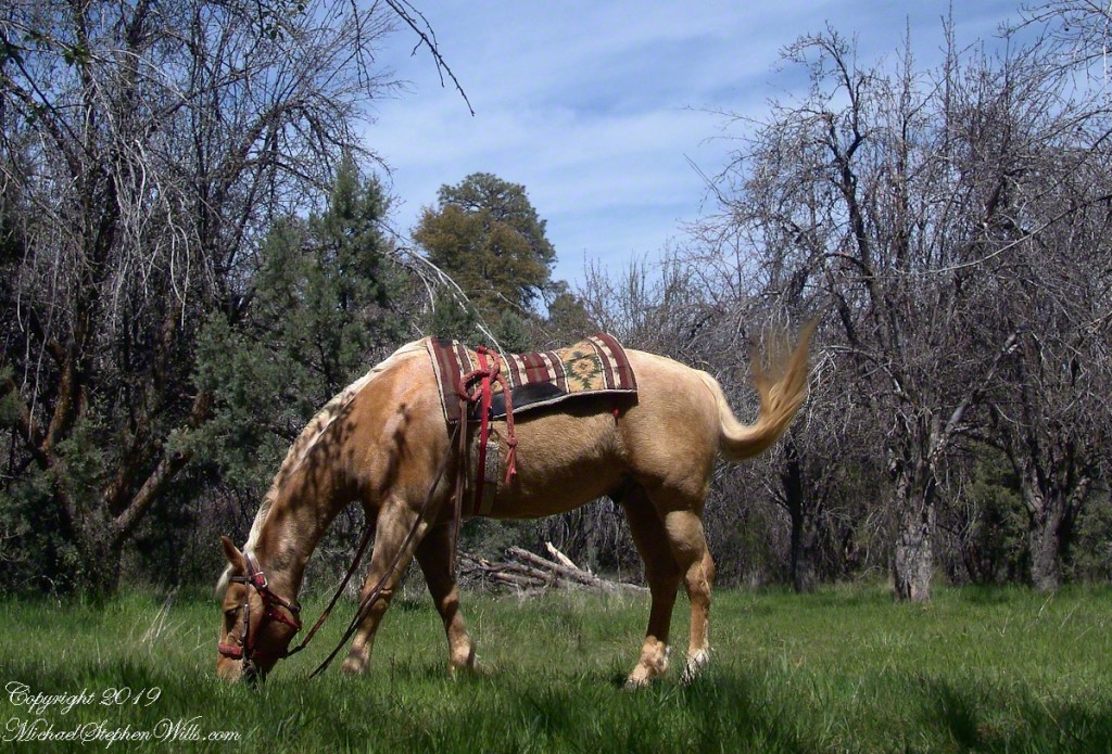
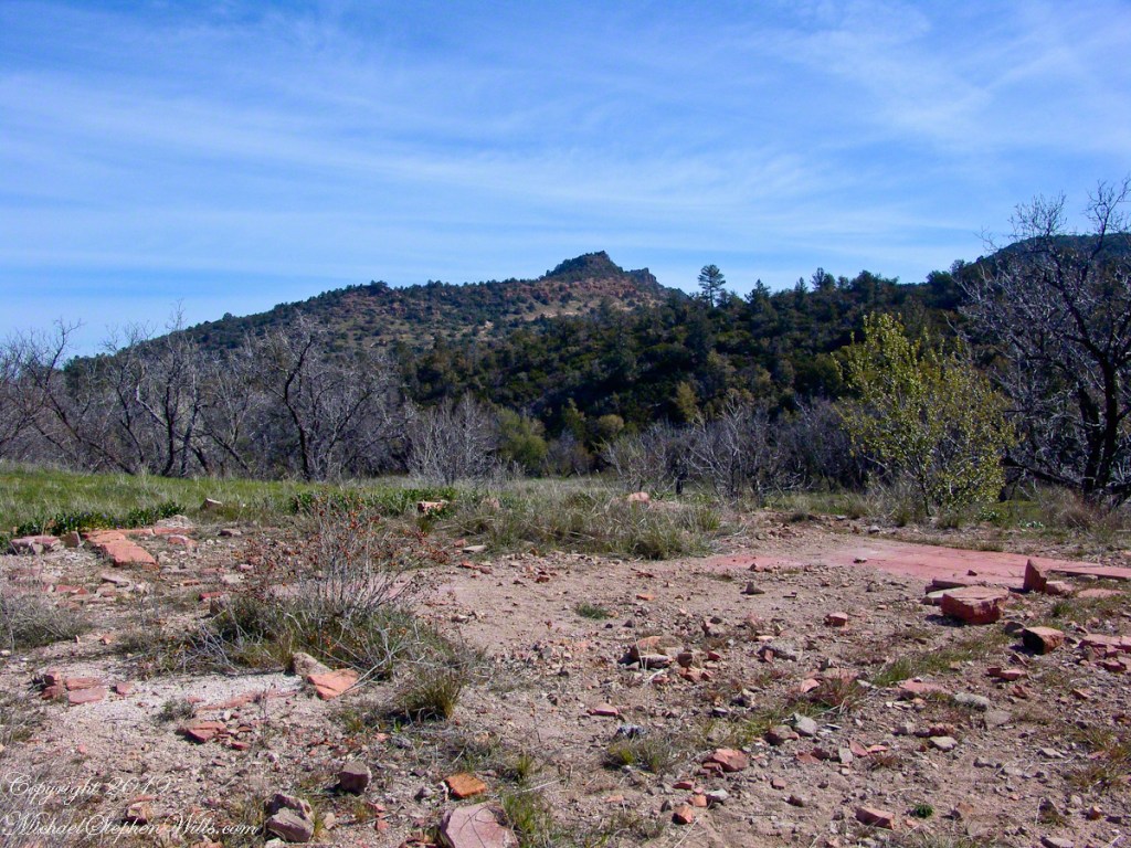
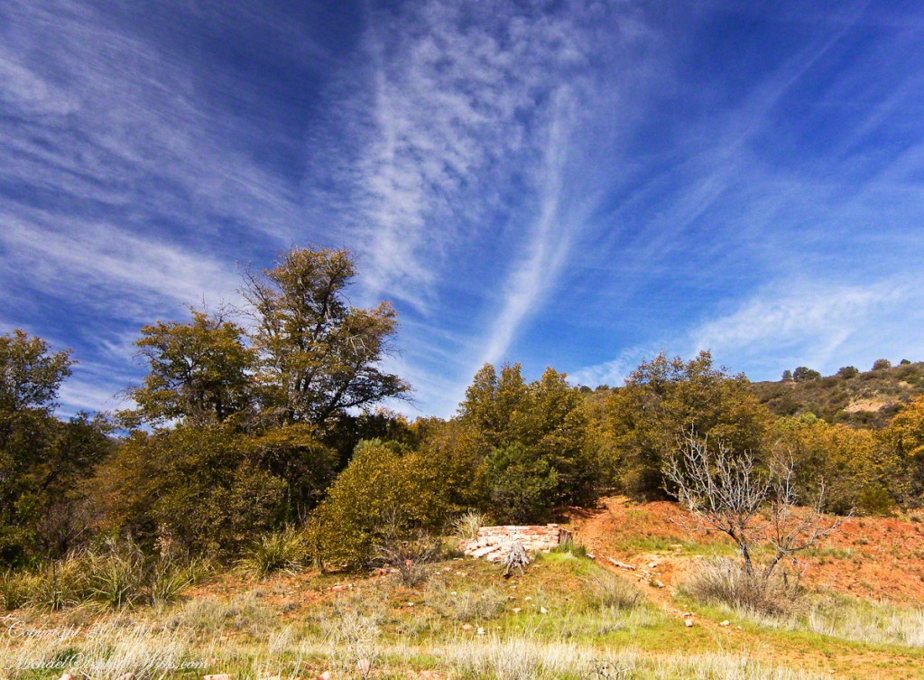
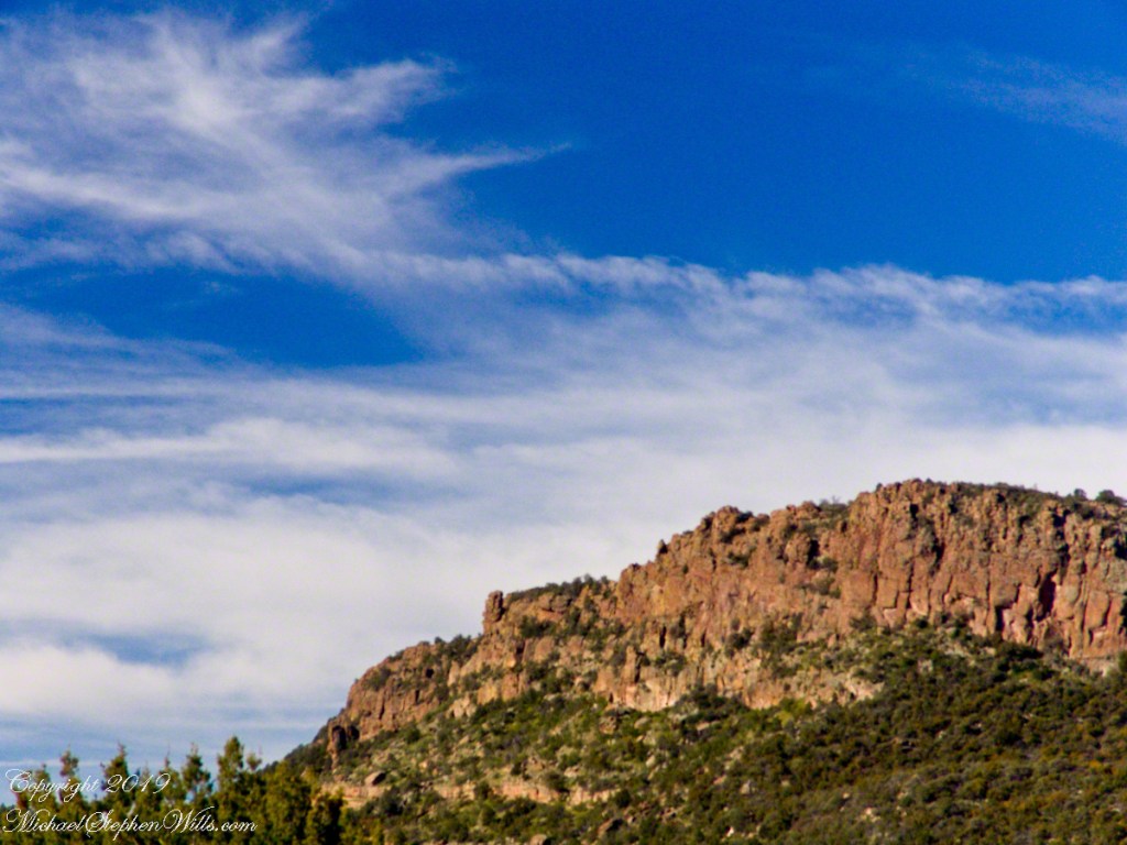
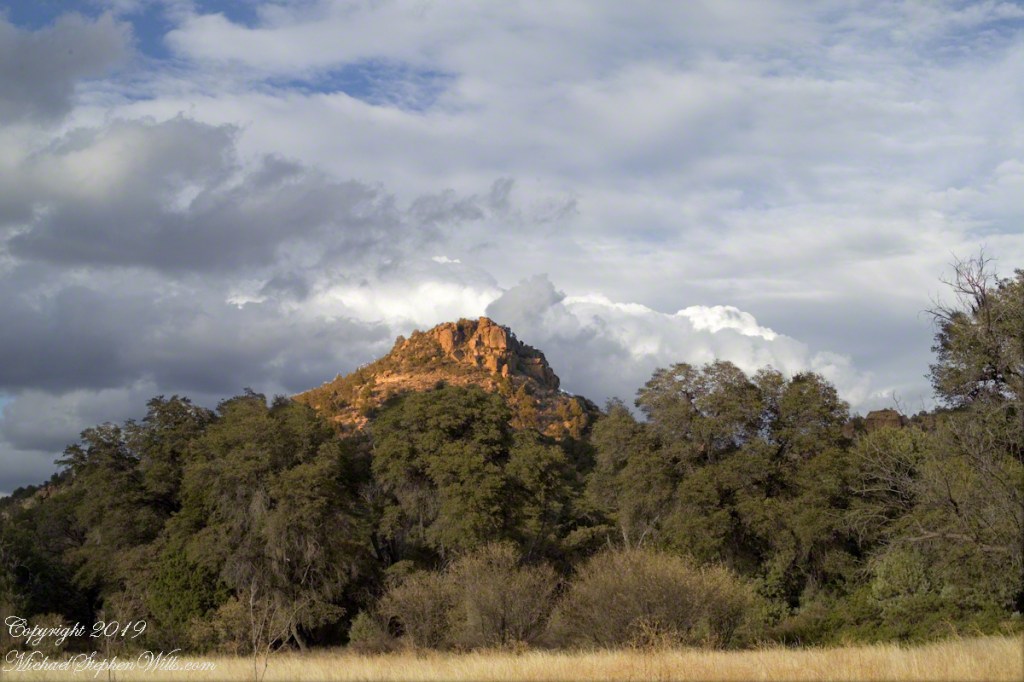
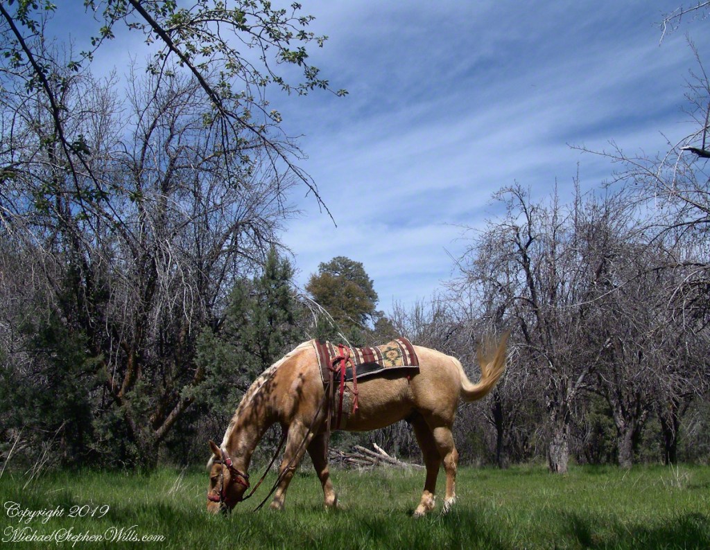
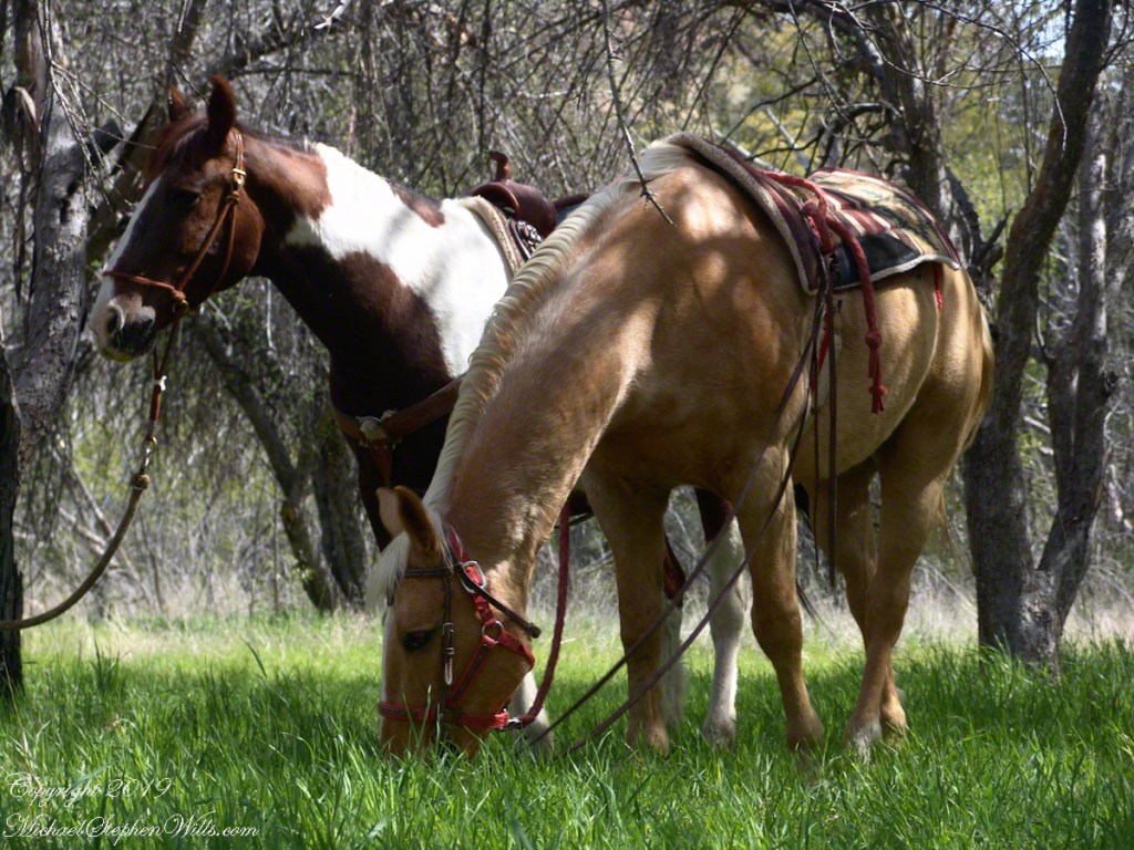
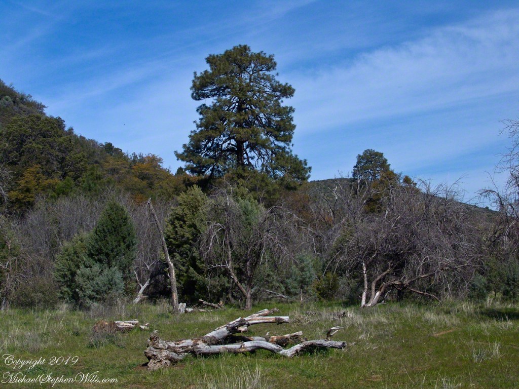
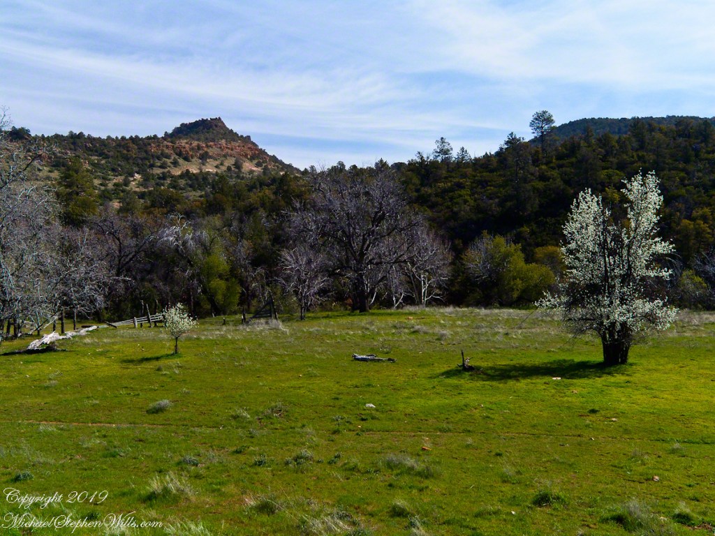
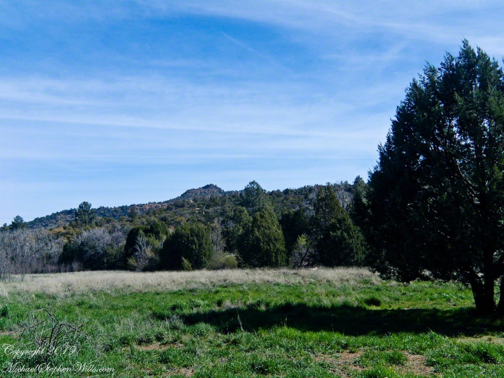
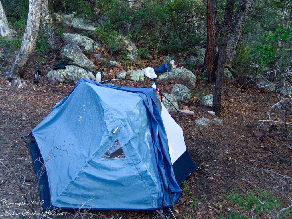
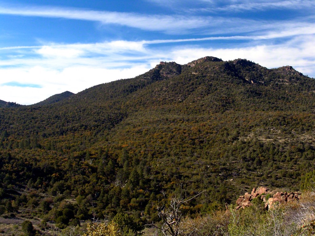
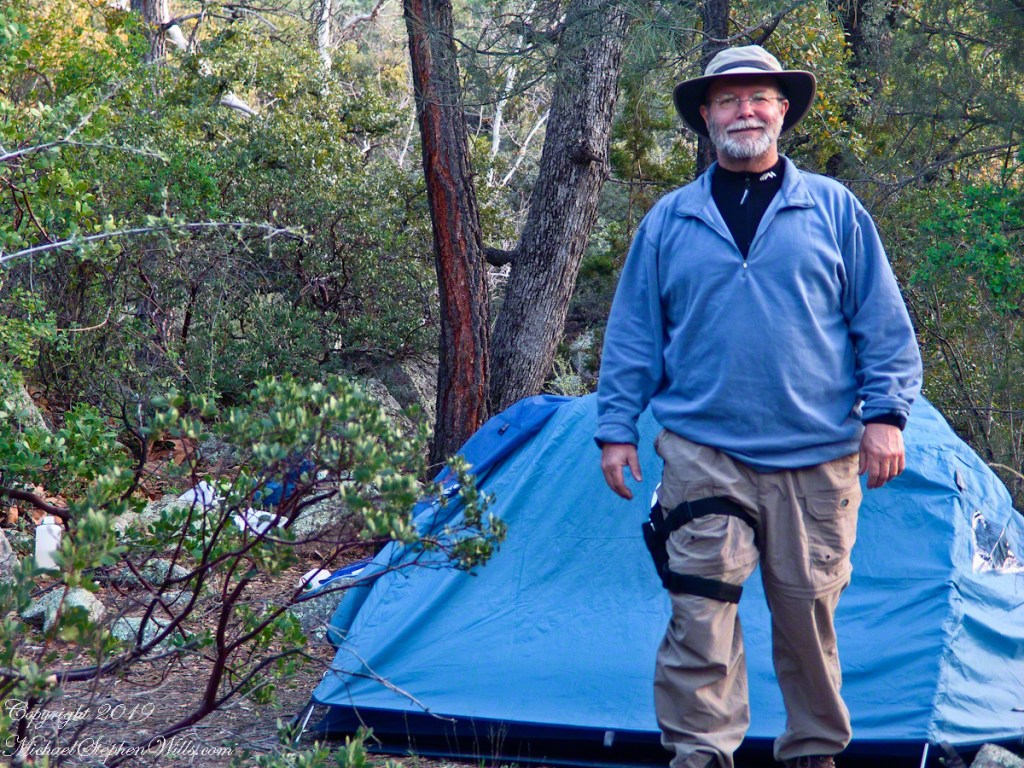
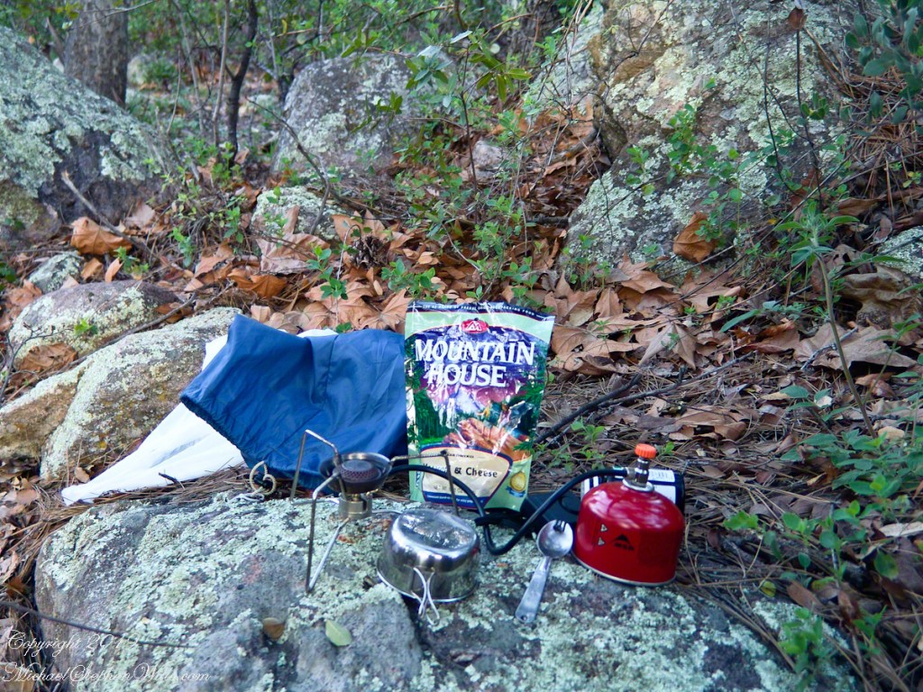
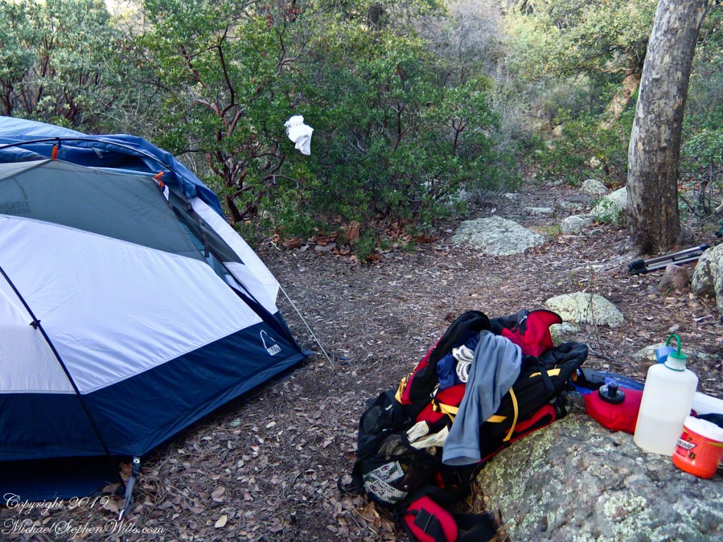
Taken early April, Reavis Ranch, Superstition Wilderness.Remnant of a twentieth century orchard, a dream husbanded using a perennial water source.Disused hayrake, Reavis Ranch, Superstition WildernessSuperstition Wilderness, Reavis Ranch, February, 2006From the slopes of Mound Mountain in the remote eastern Superstition Wilderness. View West-Northwest across the southern Reavis Valley (Reavis Ranch). Pinion Pine and Manzanite in the foreground.“The Searcher’s” horse, Nugget feating on early spring grass among the apple trees of Reavis Ranch.Northeast view across the site and the Reavis Valley.“The Searcher’s” horse, Nugget feating on early spring grass among the apple trees of Reavis Ranch.Colorado on the alert while Nugget grazes, typical of their personalities.Looking from the former house site towards the Arizona Trail running beneath the distant red rock ridge. Not the fence rails on the left and apple trees in bloom.Mike Wills at his Pine Creek Camp, April 2005.the kitchen: can of fuel, a light burner and dehydrated food. A metal cup and a spork.Looking east toward backpack, center, with unpacked supplies and tent. Tripod at rear.I climbed a large, lichen encrusted boulder for this view of the tent and equipment. Looking south.
The following year my sister Diane and I did two expeditions into the Superstitions, March and November 2006.
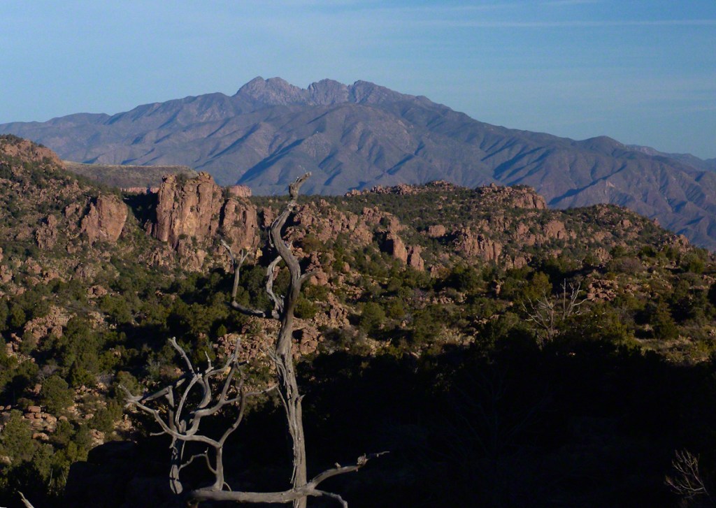
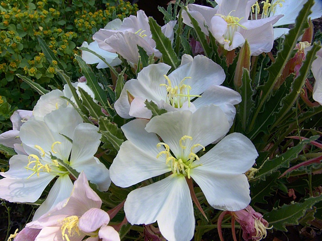
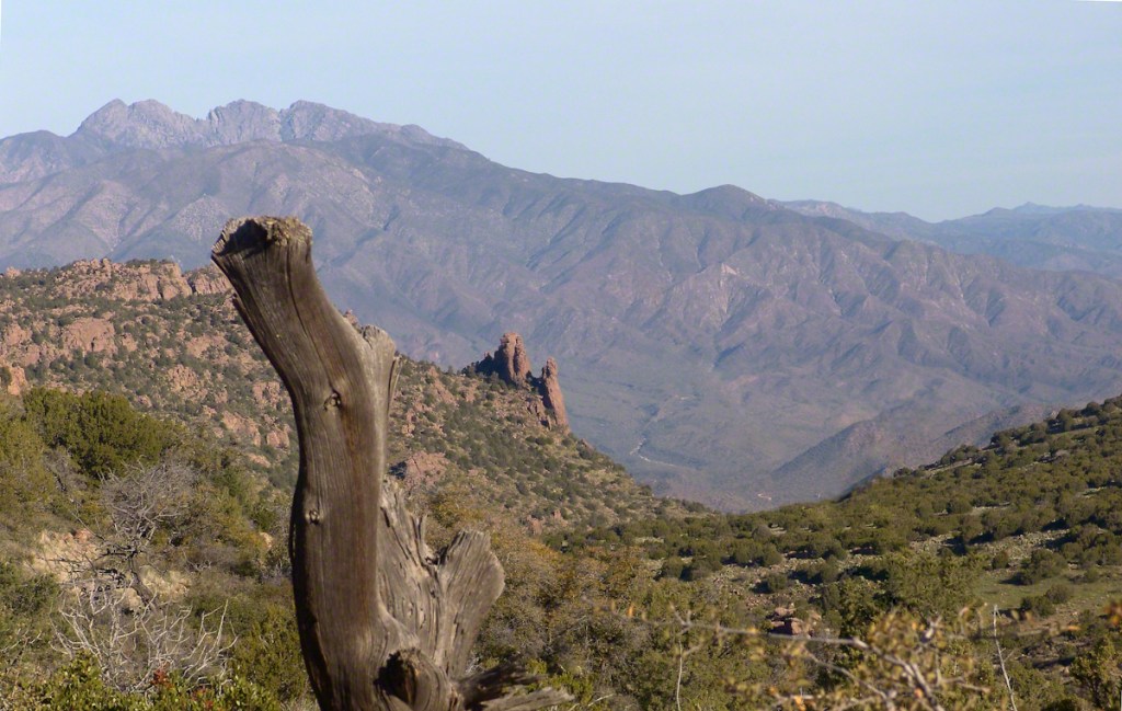
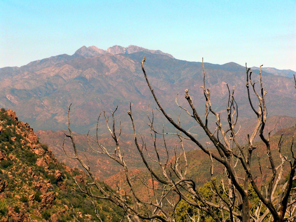
View of a saddle of the ridge to the west over Pine Creek. It is possible to climb over this ridge for a view of Reavis Falls. It is a day-trip bushwack from Pine Creek.View to the southwest on the Arizona Trail above Pine Creek.Pine Creek of the remote eastern Superstition Wilderness hosts this wild Tufted Evening Primrose.From a vantage point overlooking Reavis Gap tot he north. This is the view of Pine Creek, to the south.The Arizona Trail passes this spot in the remote eastern Superstition Wilderness. This is the view of my path up from Nameless Canyon. In the distance is the Four Peaks Wilderness Area.Superstition Wilderness, Arizona
“A This video is from the November backpack, taken from the hill above the Ranch Ruin (Click me for “A Ride to Reavis Ranch”) you will experience the peace of this wilderness valley.
Although cold, the still dry air felt marvelous and even distant objects appeared absolutely clear. In this environment the spread of sun with its rising is a ritual. Here’s a photograph of the canyon walls a few minutes before the sun reached them.. Superstition Wilderness, ArizonaView from the western slope of Two Bar Mountain looking west toward Reavis Ranch Trail. Reavis Falls is in canyon on the far side of this ridge.Although cold, the still dry air felt marvelous and even distant objects appeared absolutely clear. In this environment the spread of sun with its rising is a ritual. Here’s a photograph of the canyon walls a few minutes after the sun reached them.. Superstition Wilderness, ArizonaSuperstition Wilderness, ArizonaView from the western slope of Two Bar Mountain looking west toward Reavis Ranch Trail. Castle Dome is behind the ridge on right.Fully mature agave surrounded by years of dried leaves against ddawn light in Pine Creen Canyon, Superstition Wilderness, Arizona.
The following year my sister Diane and I did two expeditions into the Superstitions, March and November 2006.
“A This video is from the November backpack, taken from the hill above the Ranch Ruin (Click me for “A Ride to Reavis Ranch”) you will experience the peace of this wilderness valley.
About that mysterious stone structure featured in this video. Over the years I have pieced together its purpose. When the ranch was active, a canal followed the contours from upper Reavis Creek to fill a pond down the hill from the house — I was shown the canal and walked it 2005. The structure was razed in the 1990’s, all that remains is the concrete foundation slab and, when I was there 2005 – 2008, scattered remains of the tile flooring. I am sure the pedestal above the house supported a water tank for a gravity water feed (“indoor plumbing”). Here is a link to more info about that site. The article does not discuss the water system.
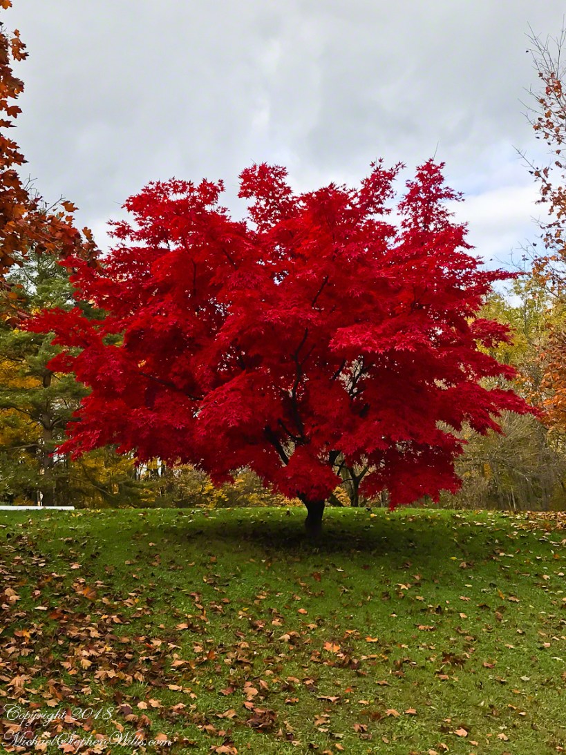
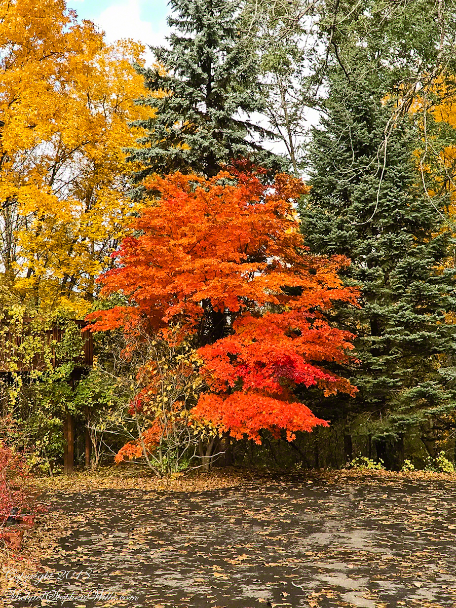
Yesterday, Pam and I headed to the peneplane behind our home to enjoy the Finger Lakes terrain graced by fall colors. The day before I noticed the Japanese Maple leaves had turned from maroon to vermillion. While waiting for Pam to get ready, I capture the following two shots.
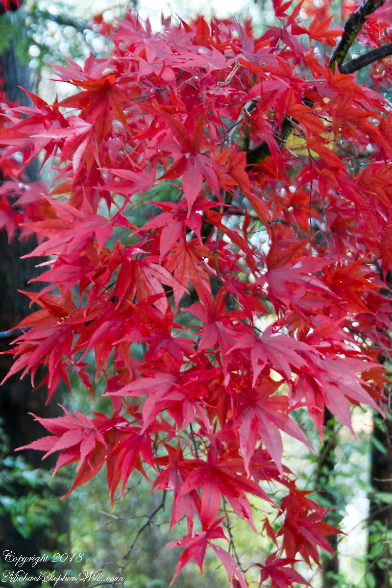
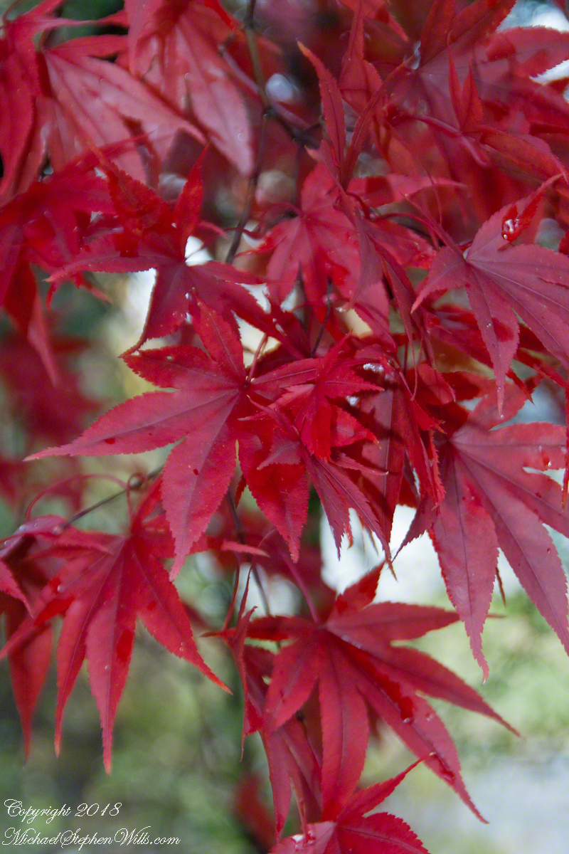
This tree was planted by my father and mother in-laws. Developed over the centuries by the Japanese, specimens reached England in the 1820 and spread from there. It is not strictly accurate to call the color vermillion, since cinnabar finely ground produces the pigment for which the color is named, when the sun strikes the leaves vermillion is a metaphor for the impression made.
The scientific name for these trees is Acer palmatum with common names Palmate Maple (for the shape of the leaves “like a palm tree”, as for the scientific name), Japanese Maple or Smooth Japanese-Maple (for the bark).
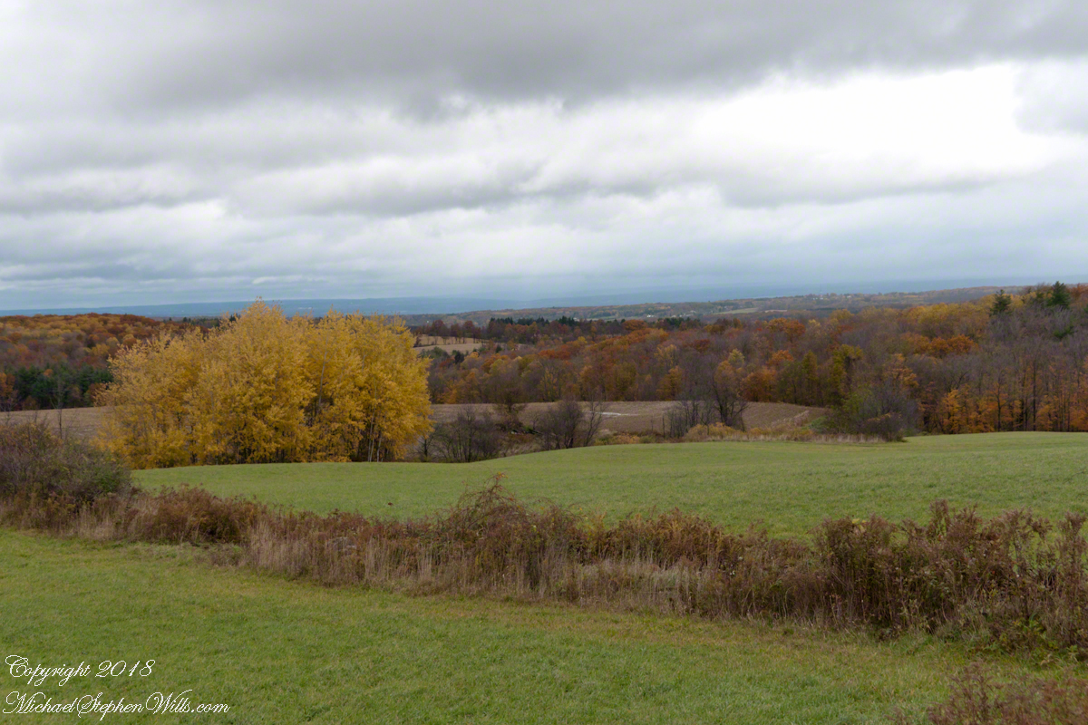
We drove under the clouds, enjoying the rare dramatic shafts of sunlight and I gave up, finally, tying to time my shots. Here is the view from Connecticut Hill.
The previous photos were taken with a hand held Sony Alpha 700 with variable lens. The next two are with an Apple iPhone I had a hand when Pam and I returned home for a walk around the neighborhood to witness the transformations.
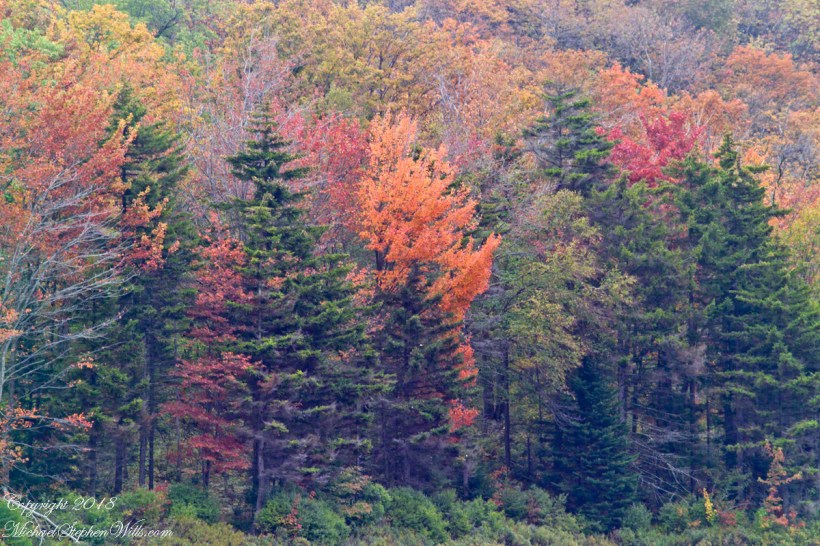
We were surprised by this orange maple, never recalling this shade before. Like our Japanese Maple were assume it is a non-native ornamental.
Our Japanese Maple is a challenge to capture photographically as it grows beneath a larger “nut” (don’t recall the kind at the moment) tree. We are working together to improve that, so I don’t have an overall photograph.
Here is our neighbor’s Japanese Maple. They have a story of carrying this tree, as a sapling, on the bus from Long Island. I love the impression of dark limbs among the clouds of red foliage.
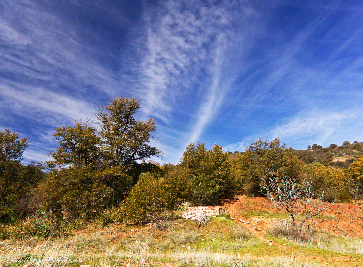
This photograph (the “far” of the “near and far”) is from a remote corner of Chiricahua National Monument, during the trip mentioned in my post, “History and Ghosts of the Triangle T Ranch”. To get there, I drove over a mountain pass to a location was featured in an “Arizona Highways” I read long ago.
I call this photograph “Red Dragon,” the formation is known as a “maple “
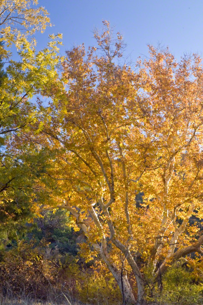
dragon”, from the long sinuous form of the tree limb. Known for this reddish orange autumn color, this is a Big Tooth Maple, AKA Canyon Maple. Scientific Name Acer grandidentatum (as in “big tooth”). It is a wild specimen, living along the north fork of Cave Creek. It is a area well know to avid bird watchers and ornithologists.
An 84-degree October walk up Cascadilla Gorge—quiet paths, bluestone porches, fresh paint on the bridge—waiting for the footbridge to catch the last, warm evening sunlight.
Every fall I make a point of walking Cascadilla Gorge at least once. On an 84-degree October 9 afternoon, Pam was tied up with chores, so I parked downtown and stopped to see the grandchildren. They were with their mom. Two were “too tired” after school to do anything. The youngest, at the age of four, was not yet in school and he floated the idea of the skateboard park; for me, that wasn’t in the cards. So I set off on foot up Court Street, past the residence of Buddhist monks at the gorge entrance.
Cascadilla Gorge is part of Cornell Botanic Gardens (formerly the Plantations), the university unit that stewards natural areas and gardens across campus. Foot traffic was light. A sign explained why: the lower trail was closed at Stewart Avenue, where the bridge spans the ravine. I crossed to the north side by the Christian Science church and wound up Cascadilla Park Road to the rim trail that climbs East Hill toward campus.
Homes line this stretch, porches facing the gorge where the constant music of creek and falls carries up. Not feeling ambitious, I made a few phone snapshots. Here the path squeezes past a porch built of local “bluestone,” a feldspathic sandstone native to the region—around town it’s sometimes called “Llenroc,” Cornell in reverse.
That pot you see in the previous photo gets a closer look here, with more of the same weathered bluestone.
The drop to the gorge floor is steep, sheer in places. The barrier fence looks stout in some sections and thins to almost nothing in others. A few years ago, a recent Cornell graduate walking home late along this path fell to his death. I continued to the fork for the Ithaca City Cemetery, climbed to Stewart Avenue, turned right to cross the Cascadilla bridge, then right again onto the Gorge Rim Trail back toward town. At the bridge I noticed part of the closure work: fresh paint on the bridge and on the suicide-prevention netting beneath. On September 24—just fifteen days earlier—a Cornell senior had jumped; the net caught him, and the fire department brought him to safety.
From the concrete barrier in that photo you can peer into the gorge: a beautiful view, the steady voice of water rising from below. I try to leave the darker stories where they belong—at least until the sight of fresh paint pulls them back to mind.
I took the following photograph in 2005, the September before my previous post, “Autumn Stroll in Sapsucker Woods” with the Kodak DSC pro slr-c, an ND filter, 50 mm lens and a tripod. It was a planned session, I work waterproof boots and was able to stand in the creek after a series of rain-free days. At this time of the year the gorge opens to the setting sun. I waited, taking a series of photographs for the perfect amount of light on the footbridge. The feature photograph (the header to this posting) is a detail from a shot with the bridge more fully lit.
The header image for this post comes from a planned session in September 2005, just before the photograph of my “Autumn Stroll in Sapsucker Woods” post. I used a Kodak DCS Pro SLR/c with an ND filter, a 50 mm lens, and a tripod. After several rain-free days I wore waterproof boots and stood mid-creek. In autumn the gorge opens to the setting sun; I waited and shot a sequence until the light laid perfectly across the footbridge. The banner image is a detail from a frame where the bridge is more fully lit.
We have a framed print of that photograph at home. I mounted it as a gift to Pam on our first Valentine’s Day.
“September Sunset in Cascadilla Gorge”
If you’ve walked Cascadilla Gorge in autumn, I’d love to hear your favorite vantage points—porches along the rim, the lower stone steps, or the footbridge at golden hour. Do you know any stories about Llenroc bluestone on these houses, or remember the Stewart Avenue Bridge before its safety upgrades? Photographers: what helps you balance deep shade and bright water from the designated trails? Share a tip or a memory in the comments.
Enter your email to receive notification of future postings. I will not sell or share your email address.
Copyright 2025 All Rights Reserved Michael Stephen Wills