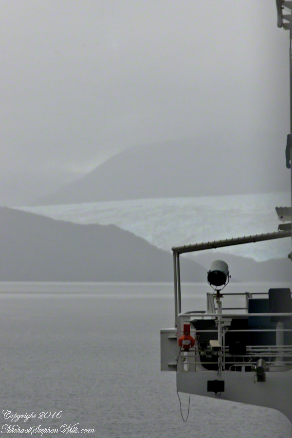
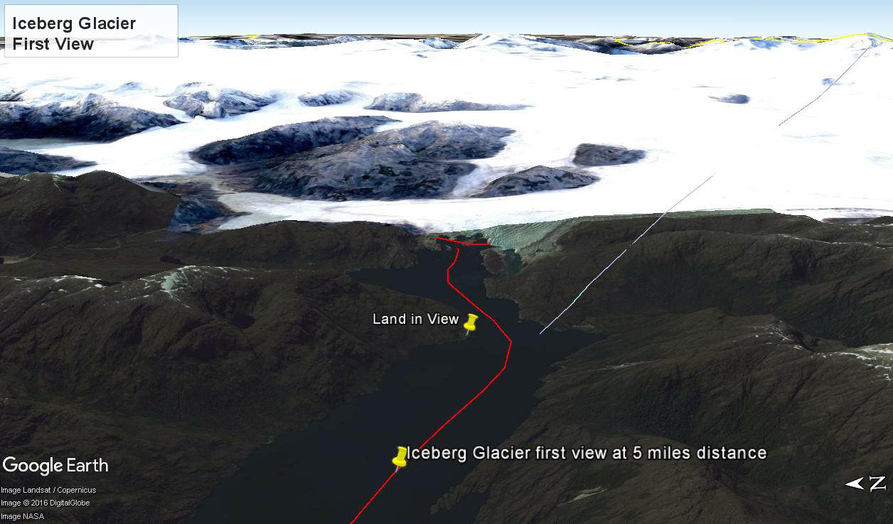
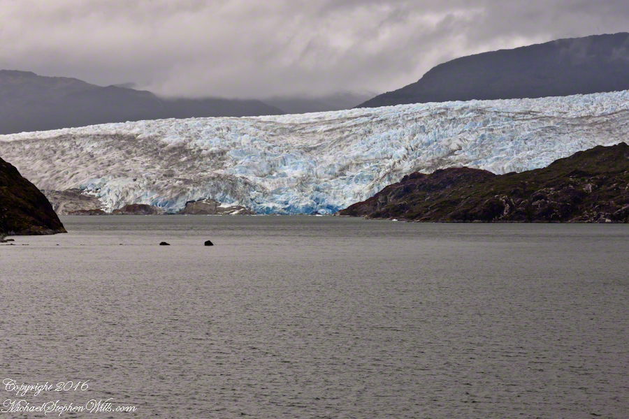
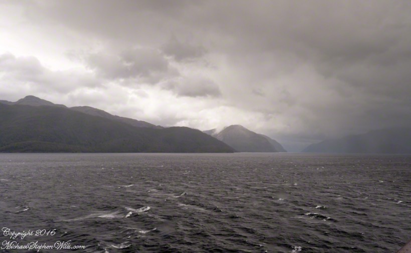
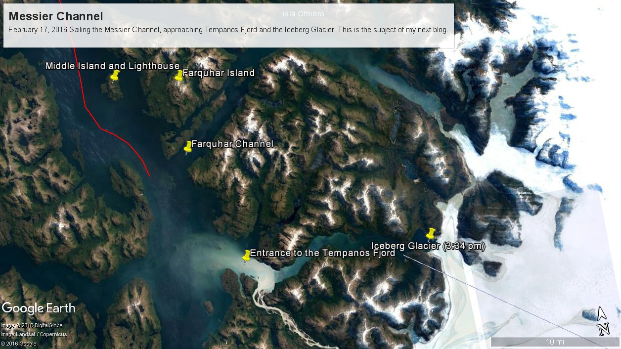
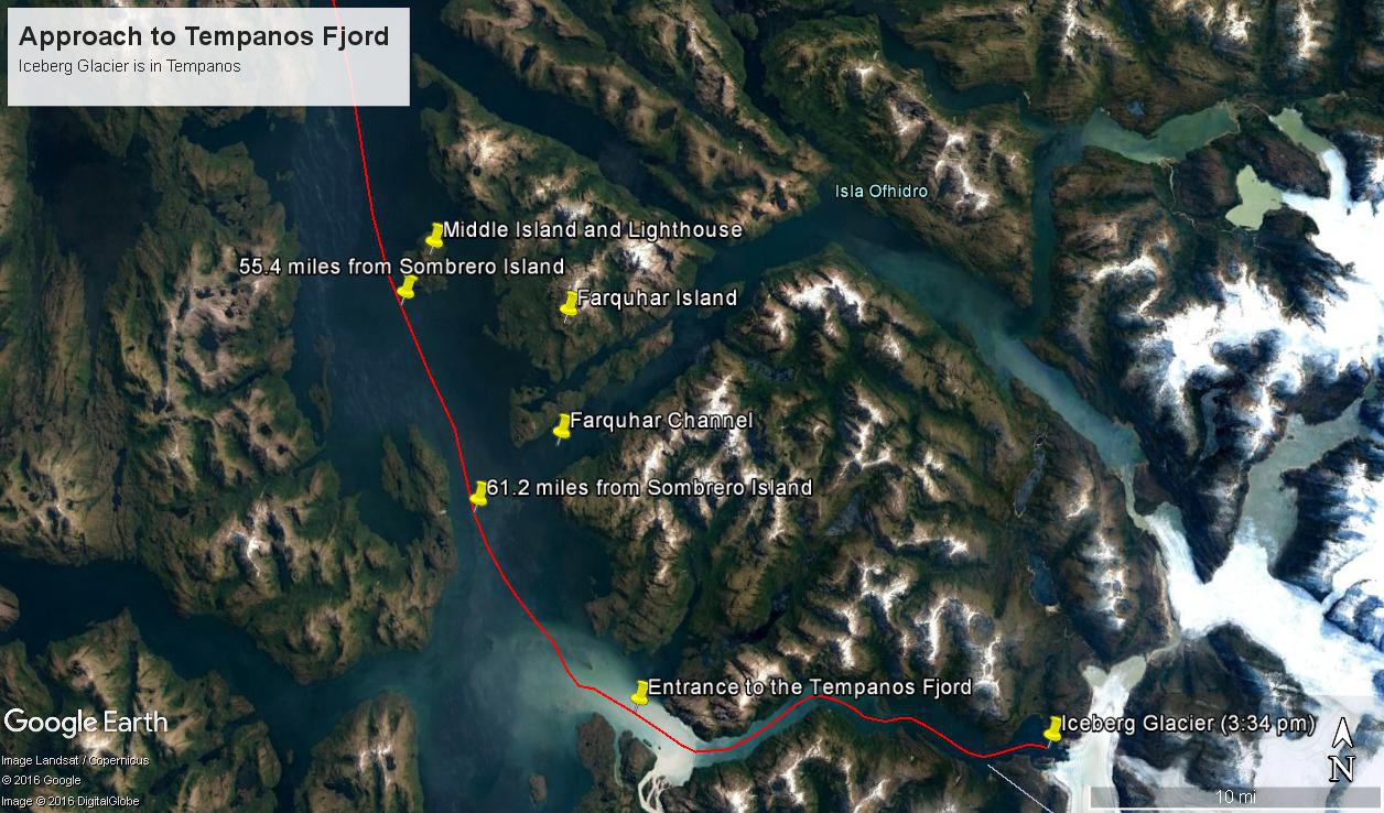
At 5:09 PM (daylight savings time for Chile) the Regatta turned to starboard to navigate around a headland of Farquhar Island. Iceberg Glacier came into view from our port side stateroom terrace. I was set up with the Canon 300 mm variable lens set to 120 mm (1/500 second, F11, ISO500), tripod mounted, to capture the ice from 5 miles distance. The location is marked on the above GoogleEarth view. The red line leading in is our course. On the right, the white line is the boundary between Chilean regions Aisen and Magellan.
Visible is the .75 glacier front, 500+ feet above the head of Tempanos Fjord. On the GoogleEarth view the front is marked with a red line. Yes, more than 500 feet above the water. In mid-view there are two rocks in the water. Behind them, under the glacier, is a rock face. That rock is 100+ feet tall.
Twenty seven (27) minutes later I used a handheld Sony with variable lens set to 200 mm (1/500 second, F13, ISO800) to capture this image of the ship bridge superimposed on the glacier.
All you see is part of the Bernardo O’Higgins National Park. Named for a founding father of Chile, the country’s first head of state, the park covers 13,614 square miles.
Copyright 2022 Michael Stephen Wills All Rights Reserved
These photographs are most notable for the first sighting of the entrance to Fjord Tempanos and our day’s destination the Iceberg Glacier. At Middle Island Messier Channel is over 5 miles wide though studded with islets and navigational hazards. Here is a Google Earth map of the area with notable locations pinned with names. The red line is a ruler path from Sombrero Island.
In the previous blog, Orientation, Iceberg Glacier, February 17, 2016, you learned about the route the Oceania Regatta followed that day. We left off with photographs of Scout and Orlebar islands, the time was 12:43 pm Chilean Summer Time (daylight savings). The next photograph was time stamped 2:24 pm and, frankly, I had lost track of where we were, so it was necessary to determine the ship’s position.
Here is how to do it. From two known points, Sombrero Island at the northern end of Messier Channel and the Iceberg Glacier, our day’s destination, first a velocity from the total distance, in miles, (Google Earth) divided by the time duration (subtract time stamp of the starting from the final digital photograph and convert to minutes). This gives an average ship velocity in miles Using excel list the photographs with time stamps. For each photograph calculate the time from the starting photo, in minutes, and multiply this by the average velocity.
In this way, I determined the first photographs of this blog were Middle Island and obtained confirmation using Google Earth to view the location from ground level. The process is iterative in that the views showed the first calculated position to be behind the position matching the view.
This, I hypothesized, was because the ship velocity decreased on entering Tempanos Fjord. Noting a time gap between the last photograph of this blog and the next, taken within Tempanos Fjord. So, using Google Earth to establish the last photograph position, I recalculated velocity using that last position as the last time. Then, I recalculated the distances of the photographs and the calculated positions came into better agreement with the viewed positions. After Middle Island the ship slowed significantly in order to enter the fjord.
I still have opened questions because the calculated speed from Sombrero Island to Middle Island is 6 knots higher than the documented top speed of the Regatta.
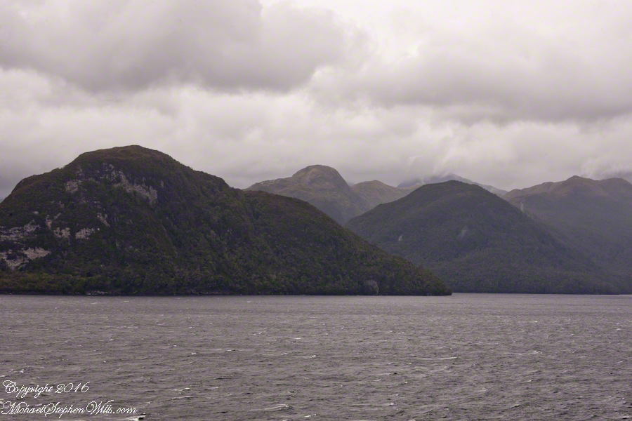
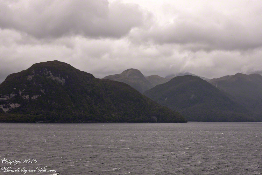
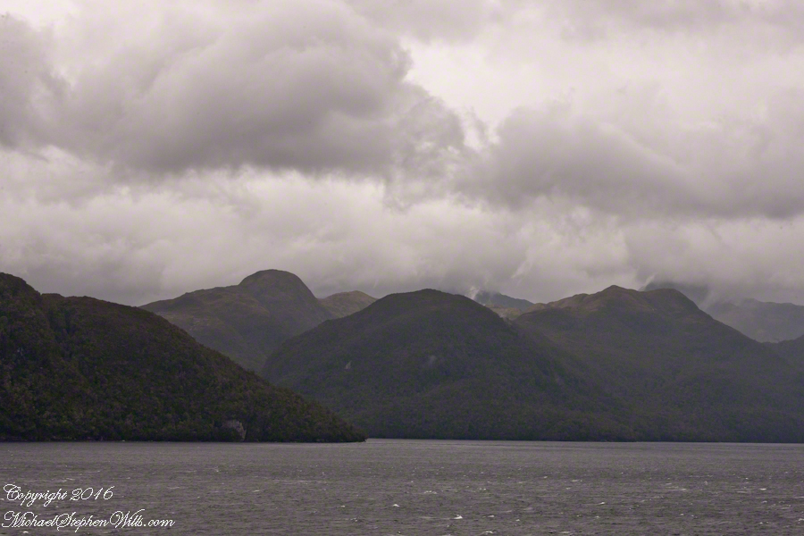
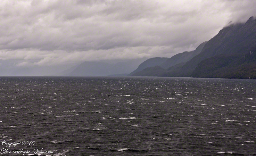
52.02 miles from Sombrero Island. View NorthEast toward Middle Island, Farquhar Island behind.
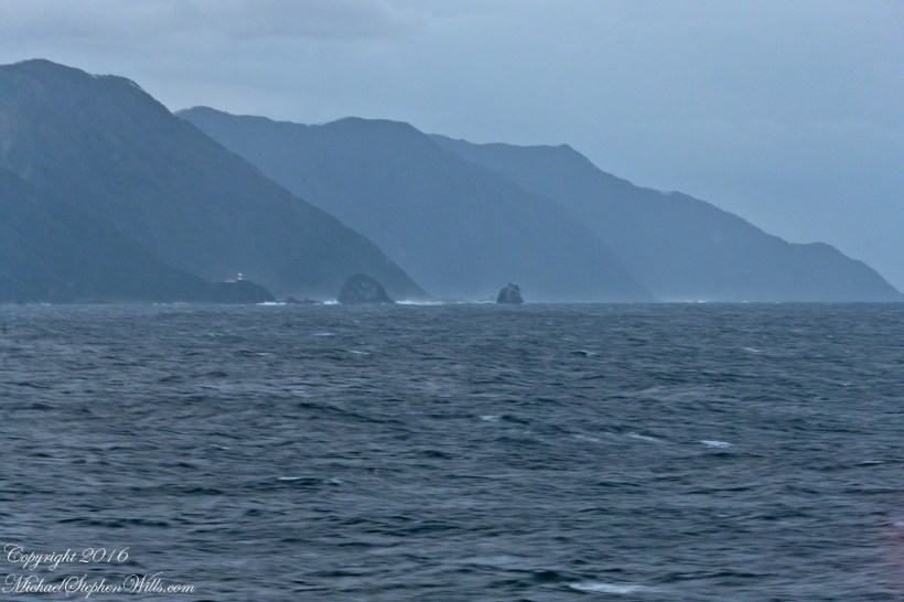
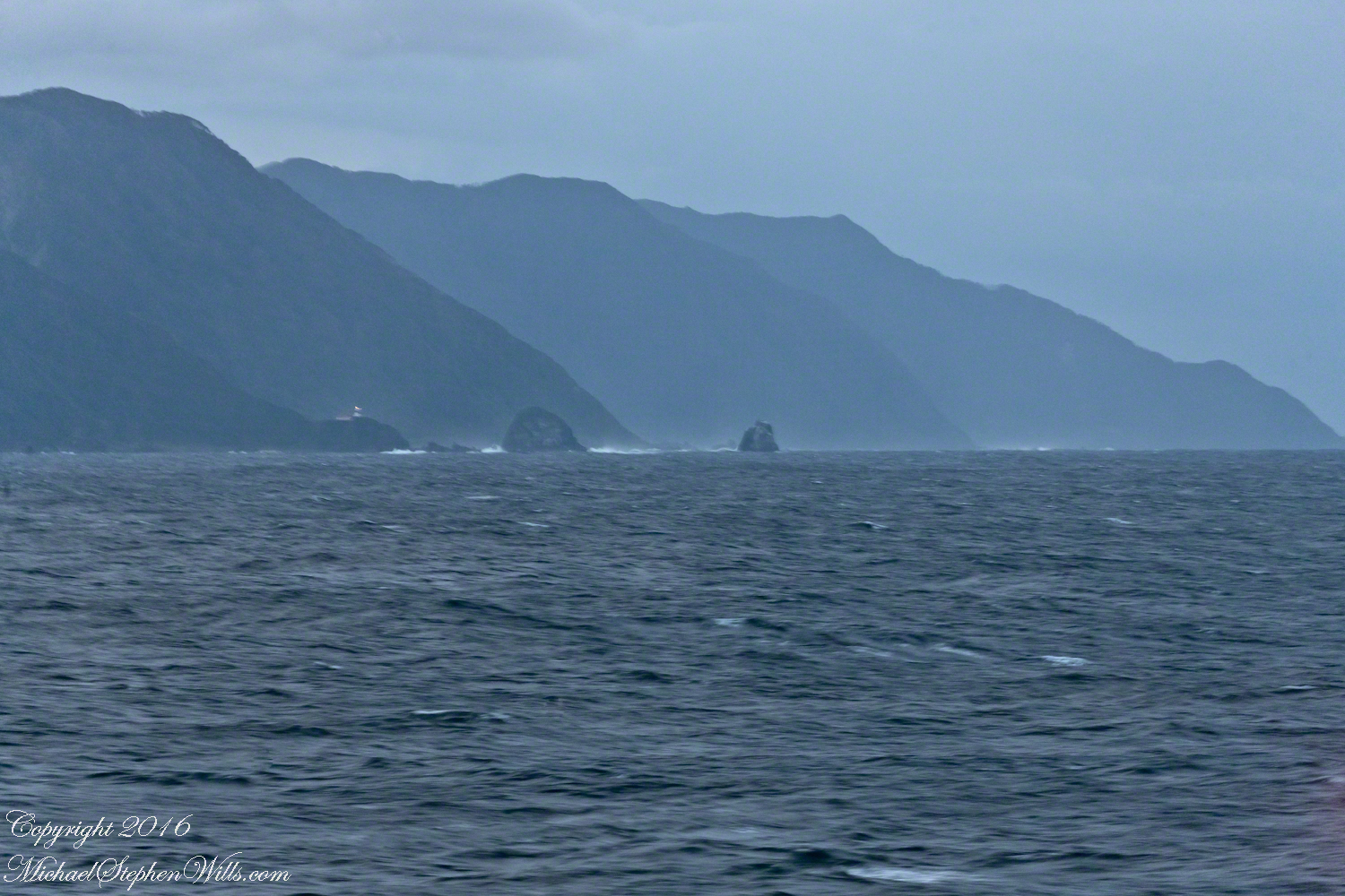
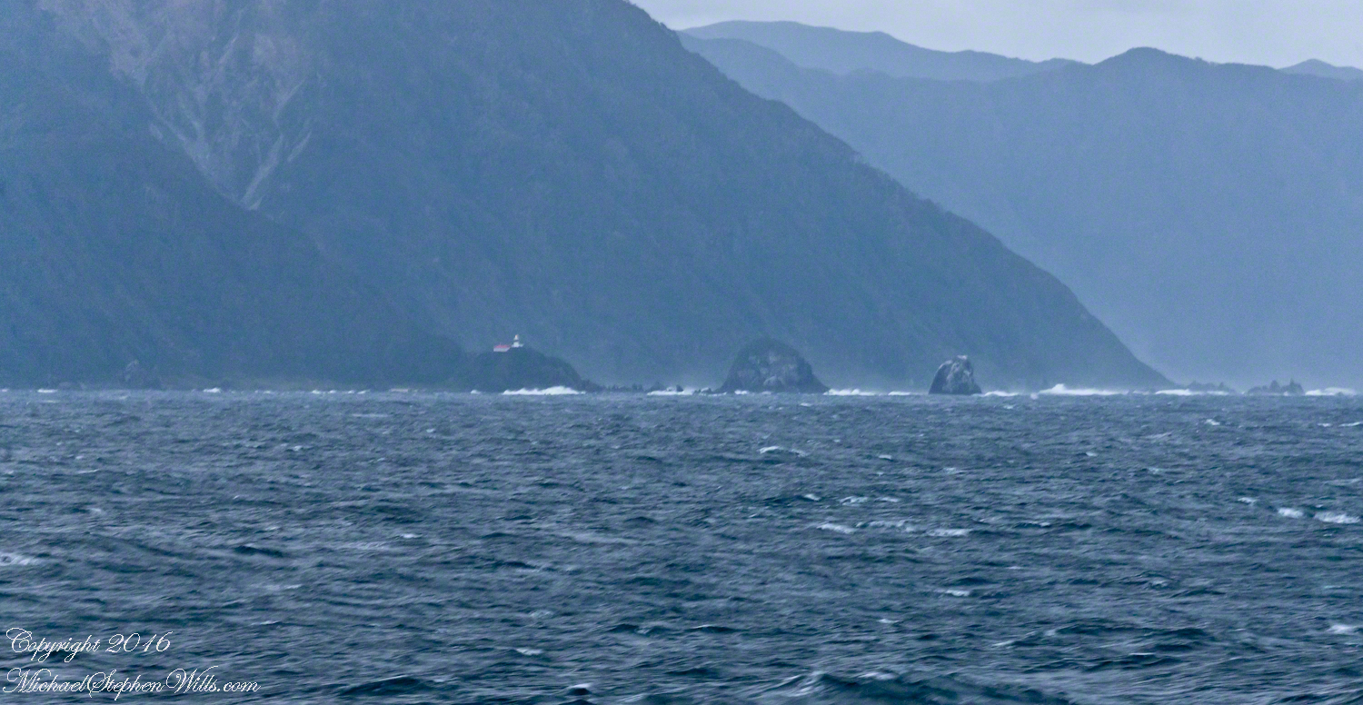
The lighthouse of Middle Island is not in view. The channel between the islands is Brazo del Este.
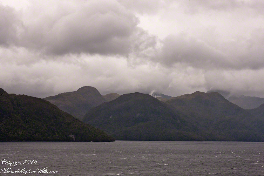
View NorthEast toward the peaks of Farquhar Island Over the shoulder of Middle Island is Riches Bay of the farther island.
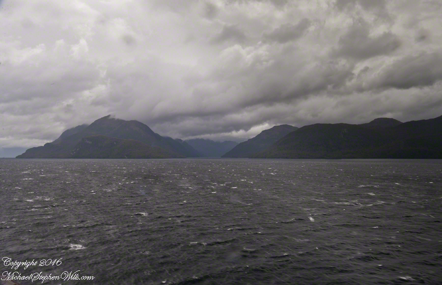
View NorthEast toward the peaks of Farquhar Island. Across from us, on Farquhar Island, the George River flow into Connor Cove which opens onto the channel named Brazo del Este. The channel separates the islands.
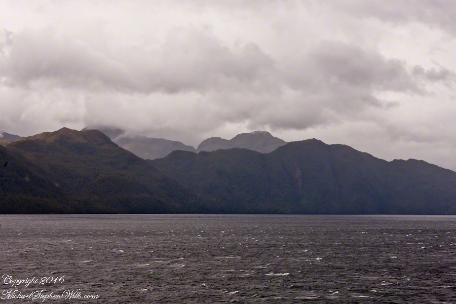
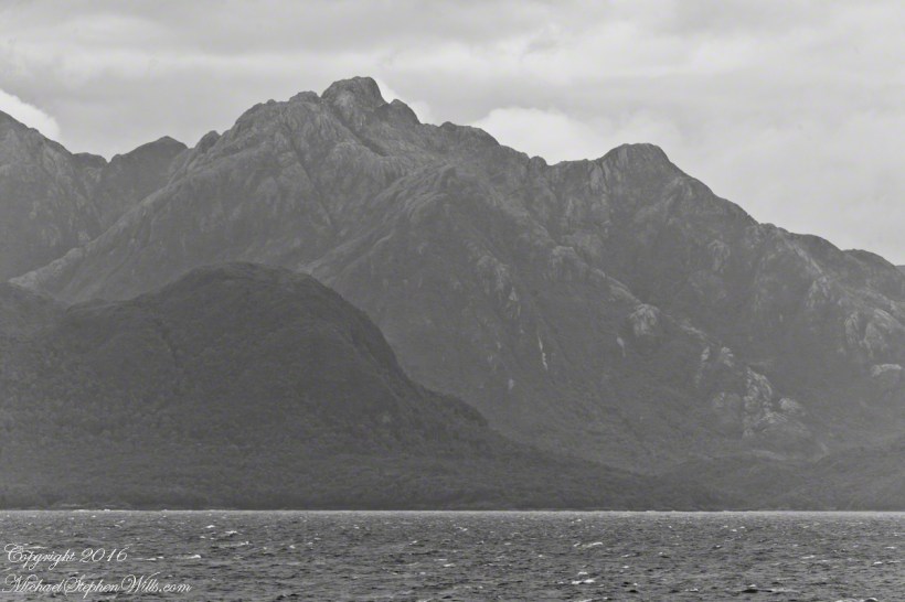
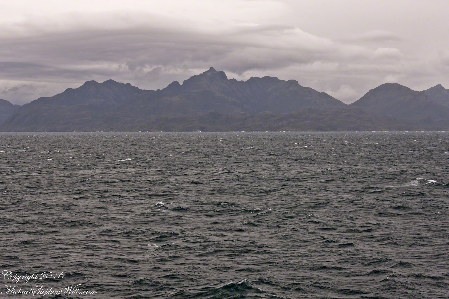
View east the steep cliffs of Farquhar Island rising abruptly from Messier Channel, to 3,200 feet in 2.7 miles.
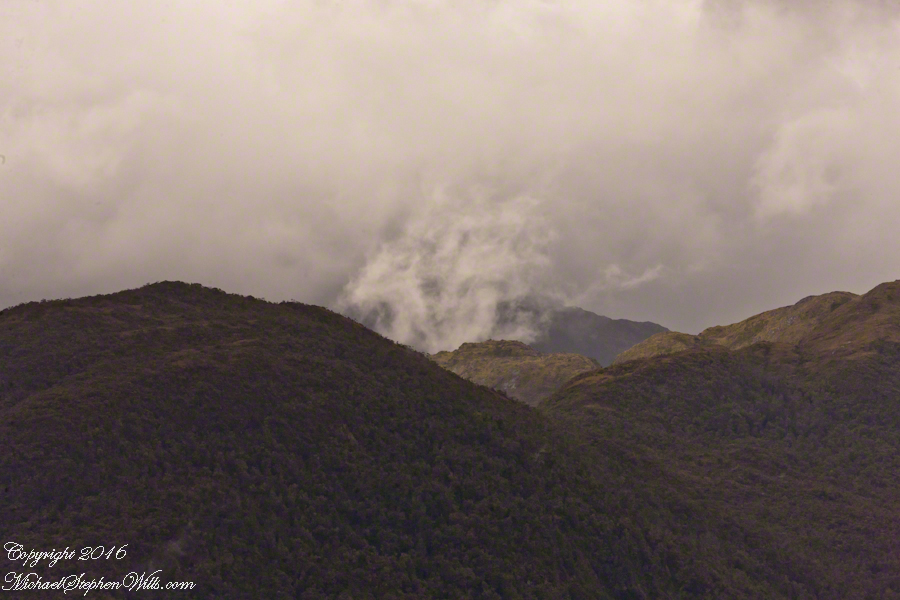
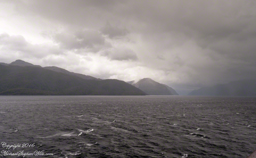
Peaks of Farquhar Island. View east from Messier Channel using long lens. The island is named for Percival Farquhar, American entrepreneur active in South America, mostly Brazil and railroads, 1905 – 1930.
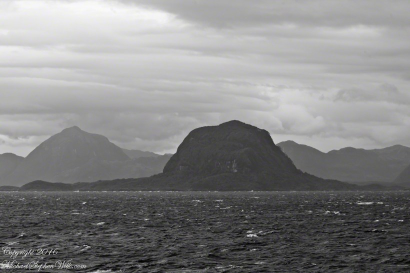
View north from mid-Messier Channel. Nearest on the right is Middle Island with lighthouse Farquhar Island behind with Palmer and Hens points. In the distance is Van Der Meulen island.
Farquhar Channel. View Northeast with Boxer Island, left foreground,Farquhar Island behind.
Tempanos Fjord. View Southeast with Estacion Point and Headland to left. Behind the headland is the entrance to Farquhar Fjord, not visible. Tempanos Fjord is framed by land on both sides.
Islands Sombrero and Zealous In the distance are the crags of Porcia Island separated from Zealous Island, in the foreground, by Canal Cronjé (not visible). Sombrero Island is left, Zealous is the right.
The Gulf of Penas is a sunken bowl of the western side of the southern Andes. Instead of canyons and valleys, fjords surrounded by craggy peaks are the rule. Sailing ships, driven by storms of the western Pacific, found ways through the fjords all the way to the straits of Magellan. This was our route as we entered the Messier Channel, a route discovered in the earliest years of colonial exploration.
Looking back the way we came…..
Peninsulas Larenas, Fresia, the Gulf of Penas The view is north-northeast from the entrance of the Messier Channel
At the mouth of the channel, Zealous and Sombrero are neighboring, and isolated hills. Surrounded by water, they are also islands. Zealous is just under 2,000 feet. Sombrero, at 200 feet, is prominent only for its position and shape.
Here we are crowded by headlands, points, islands all rising steeply from the water.
Here I have views of these islands with craggy peninsulas in the distance. The view is to the northeast and east.
Sombrero Island, 200 feet tall, rounded by glacial erosion.Sombrero Island, Peninsulas Larenas and Fresia The entrance to Fjord Eloise is in the distance where the two ridges separate. We are here sailing the Messier Channel.
Copyright 2022 Michael Stephen Wills All Rights Reserved
On our way to Fjord Tempanos and the Iceberg Glacier…..
Background: on a ship, facing the bow (front), starboard is right and port is left).
In the 8 miles from Tarn Bay and Sombrero Island lands press closer, higher, islands increase in number. This is a listing of some of the islands we passed. These names reflect the history of Chile, the waves of immigrants touch the land with memories. After some of the names, below, I provide in parentheses the derivation.
On starboard was the northern Wellington Archipelago (English General): Pinochet (the Chilean dictator), Penguin, Juan Stuven (Spanish and German), Chang (the far east), Millar (German).
On port, the names have a military flavor: Zealous, Scout, Scylla (Sea Monster of Greek mythology), Alert, Orlebar (British Officer Augustus Orlebar).
These port side island names reflect what is on the minds of mariners as navigational options narrow with the channel. Innumerable channels, points, mid-channel islets, all looking very much the same, a potentially confusing jumble. Chilean maritime law demands ships have on board, working from the bridge, a certified Chilean maritime pilot to transverse the country’s dangerous channels and fjords. The combination of stopping distance (multiple nautical miles) and the loss of steering when a ship moves slowly make it essential to know, exactly, the route ahead. It was a Chilean maritime pilot who help keep us safe.
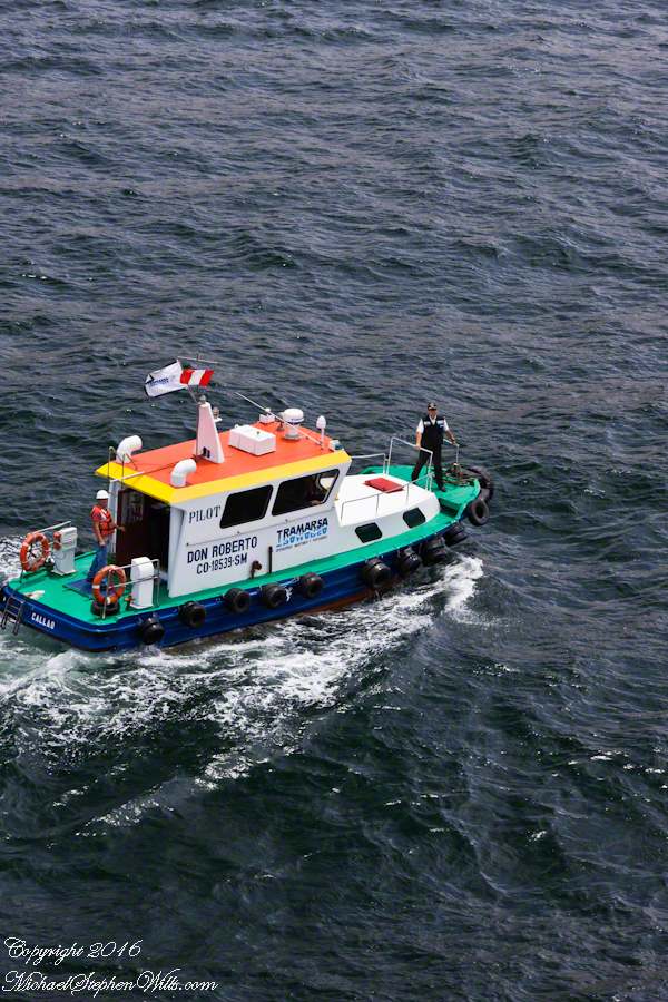
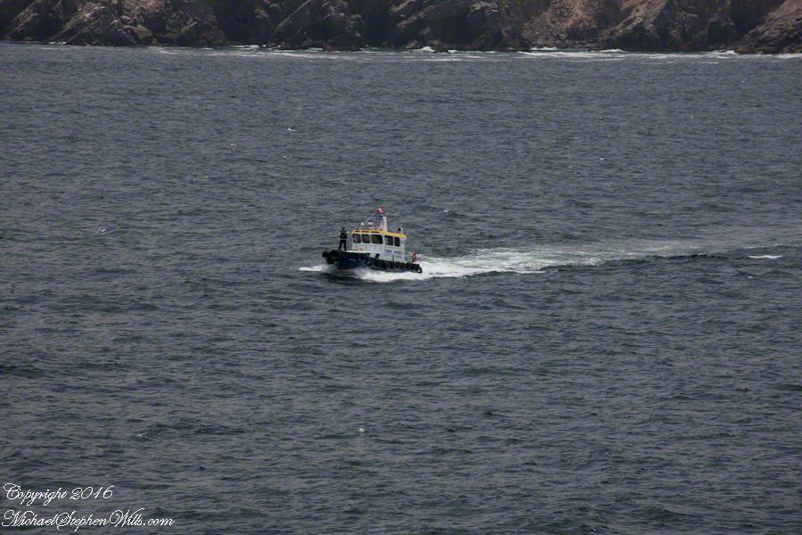
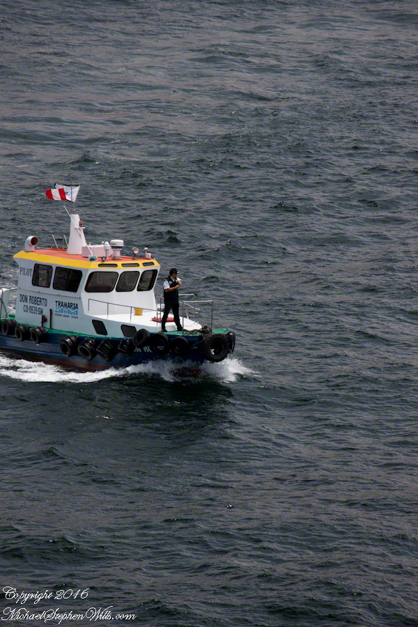
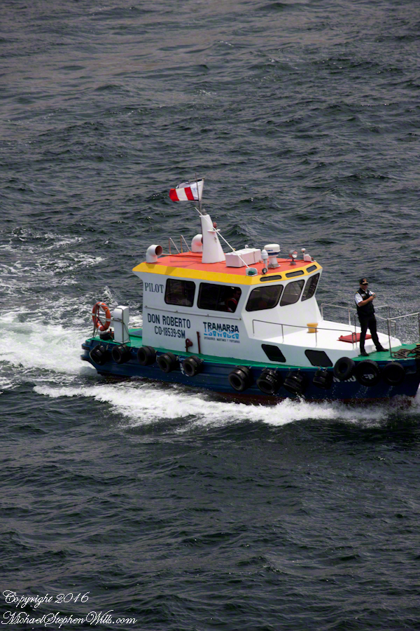
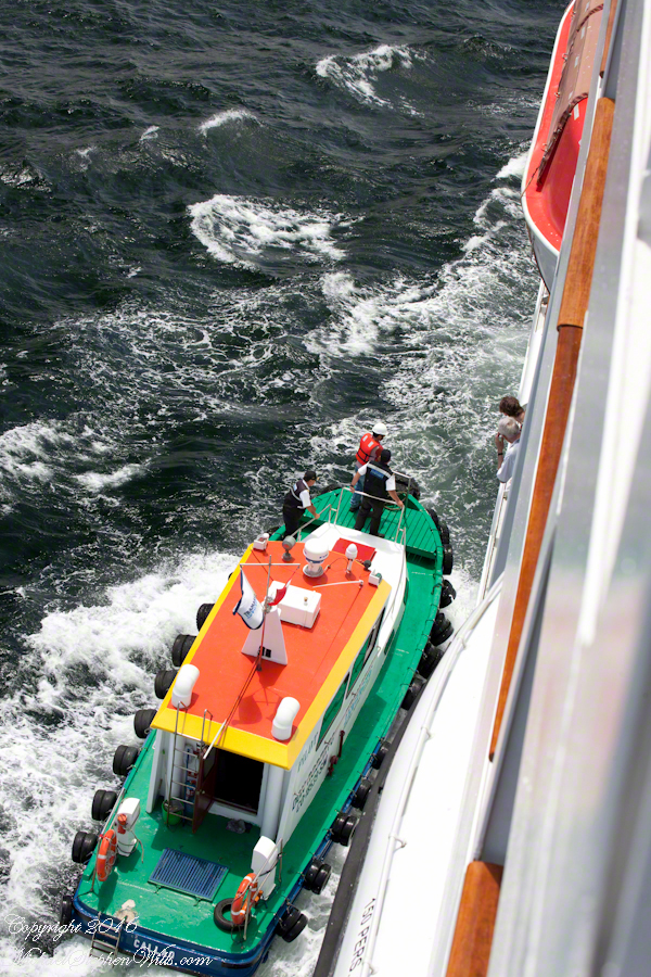
A great personal hazard for pilots is boarding the ship from the pilot boat. From our stateroom terrace we observed fast pilot boats in all seas approach the Regatta miles from port, the pilot on the bow, pull up alongside. Without a harness, the pilot transfers from boat to ship. We observed this several times from our stateroom veranda.
Here are shots of the pilot boat approaching the Regatta off the Peruvian port of Matarani. The boat was mirrored by the colorfully painted houses of Peru.
A fast pilot boat from Matarani approaches the Oceania Regatta. On the bow, the pilot will transfer from boat to ship. On board he will work with the Regatta crew to safely navigate the approach to the Matarani harbor and dock. The whiteness on the land is diatomaceous earth.The whiteness on the land is diatomaceous earth.
A cautious approach. In the third shot the boat turns to slowly approach the Regatta.
Alongside, boat crewmembers joint Don Roberto on the bow to assist in the transfer. I am not sure which of the two blue uniformed persons was “our” pilot.
I did not capture the boarding of the pilot who served the Regatta through the Chilean Fjords. Was is at Puerto Montt? Puerto Chacobuco? I am not sure. I do know a maritime pilot was on board as the channel narrowed to 2 miles, named Scout Channel were we passed Scout Island. I was facing generally east from our port side stateroom veranda while capturing these photographs as the Regatta headed south.
Scout Island. The water is Scout Channel
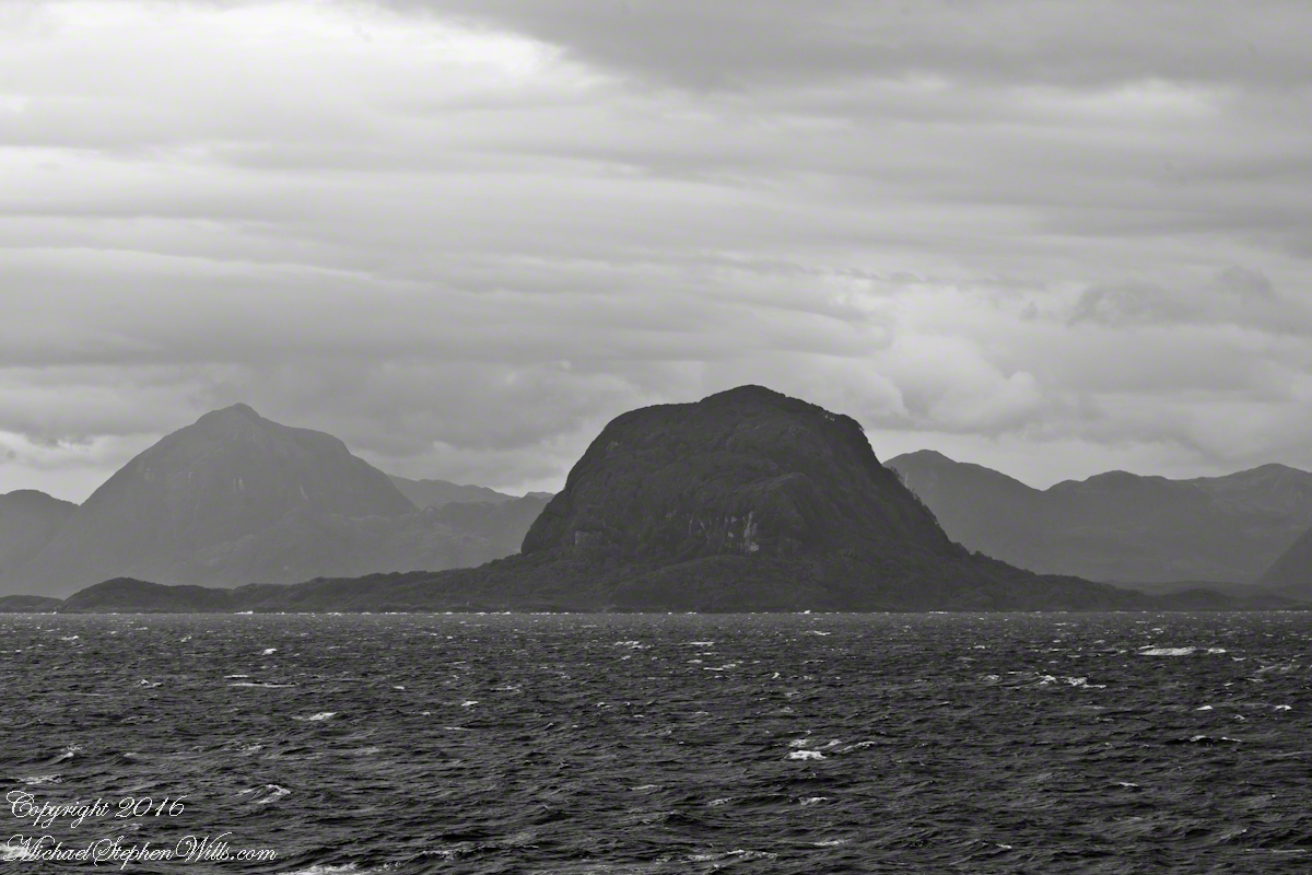
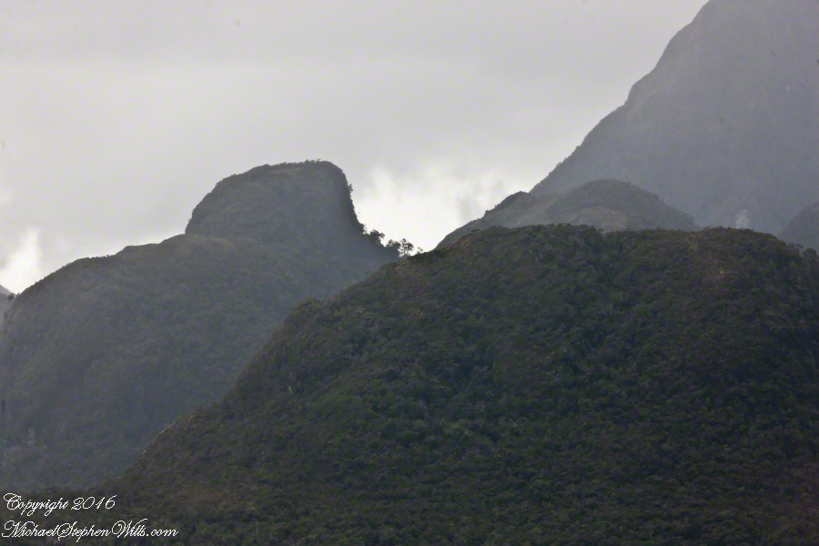
The peak on Scout Island is about 2,100 feet. The smaller peaks in front are about 1,200 and 1,500 feet. All rise straight up from Scout channel.
Scout Island lies on the Scout CanalLying just south of Scout Island, Scylla Island is between our ship, in the Scout Canal, and the Kruger Canal. The Kruger is short, between Islands Scout, Orebar, Zealous, Porcia and Tito.Islet Alert is between Canal Scout and Canal Kruger. On the far left there are waves breaking on Pilot Point of Orebar Island, marking the northern end of a small bay, named Hale. You can see the bay behind Islet Alert. On the far left there are waves breaking on Pilot Point
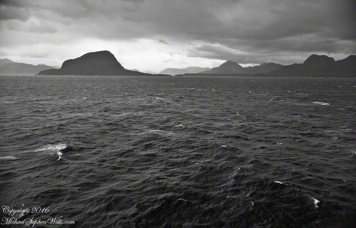
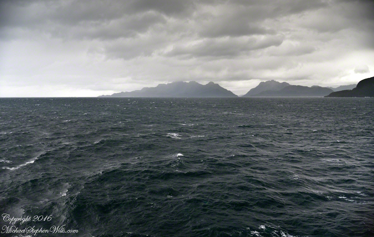
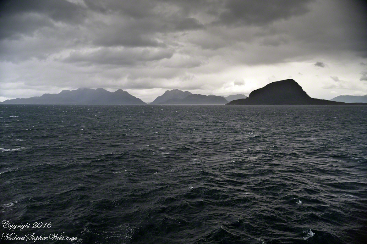
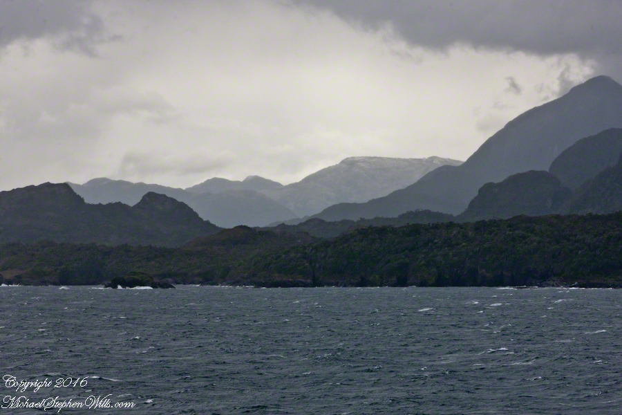
The Gulf of Penas is exposed to the storms of the western pacific. We are here moving from Aisen Region to the Magellan Region of Chile. Also known as Patagonia. This view is the Larenas Peninsula. The Northern Patagonian Ice Fields are on the other side of those mountains, the Southern Andes.
Taken with a Canon EOS 1Ds Mark3, the EF 70-300 f 4-5.6L IS USM lens, tripod mounted on a Manfrotto carbon fiber travel tripod. UV filter 1/160 second at f 6.3 ISO 250.
There is a steady wind of about 12 mph driving a few white caps. A line of surf is seen breaking against the cliffs. Shot midmorning from our stateroom terrace as the Regatta cruises south, February 17, 2016. We are headed to an encounter with the Iceberg Glacier of the Southern Ice Fields of Patagonia.
Photography conditions were poor: shooting into the sun from an unstable platform gives poor contrast for the mountain crags. The stabilization of the Canon lens was helpful and I balanced the need for a short exposure with the lowest ISO possible. No time to experiment.
Copyright 2022 Michael Stephen Wills All Rights Reserved
While most of our fellow passengers were sleeping, as usual I woke at 5 am to pull the gear together, dress warmly, step out onto our magic window on the world. Our decision to request a port side cabin continues to pay off. The Cape Rapier lighthouse flashes every few seconds. One of these shots caught the light.
Since 1914 the lighthouse on Cape Rapier, Aysen Provence, Chile, has protected ships on the northern approach to the Gulf of Penas.
Before dawn, February 17, 2016, the light protected us on the Oceania Regatta as we rounded Cape Rapier to enter the Gulf of Penas on route of the Messier Channel, the Fjords of Chile and an encounter with the Iceberg Glacier of Fjord Tempanos.
Copyright 2022 Michael Stephen Wills All Rights Reserved
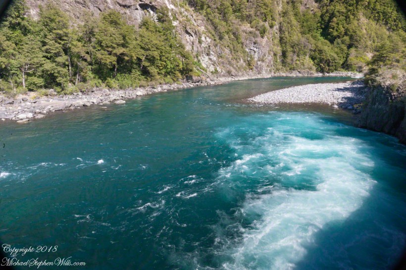
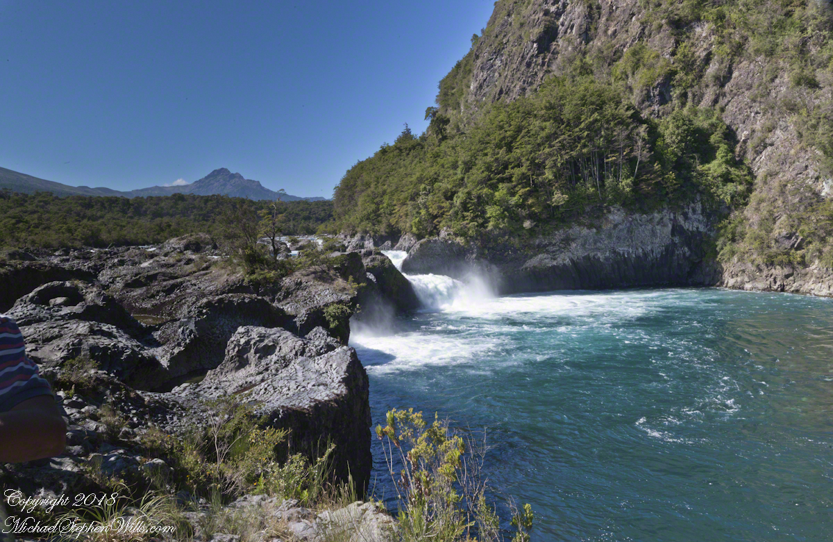
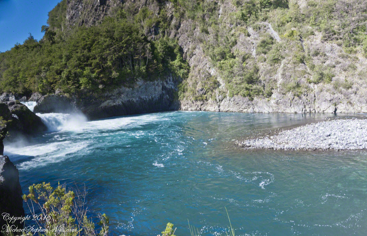
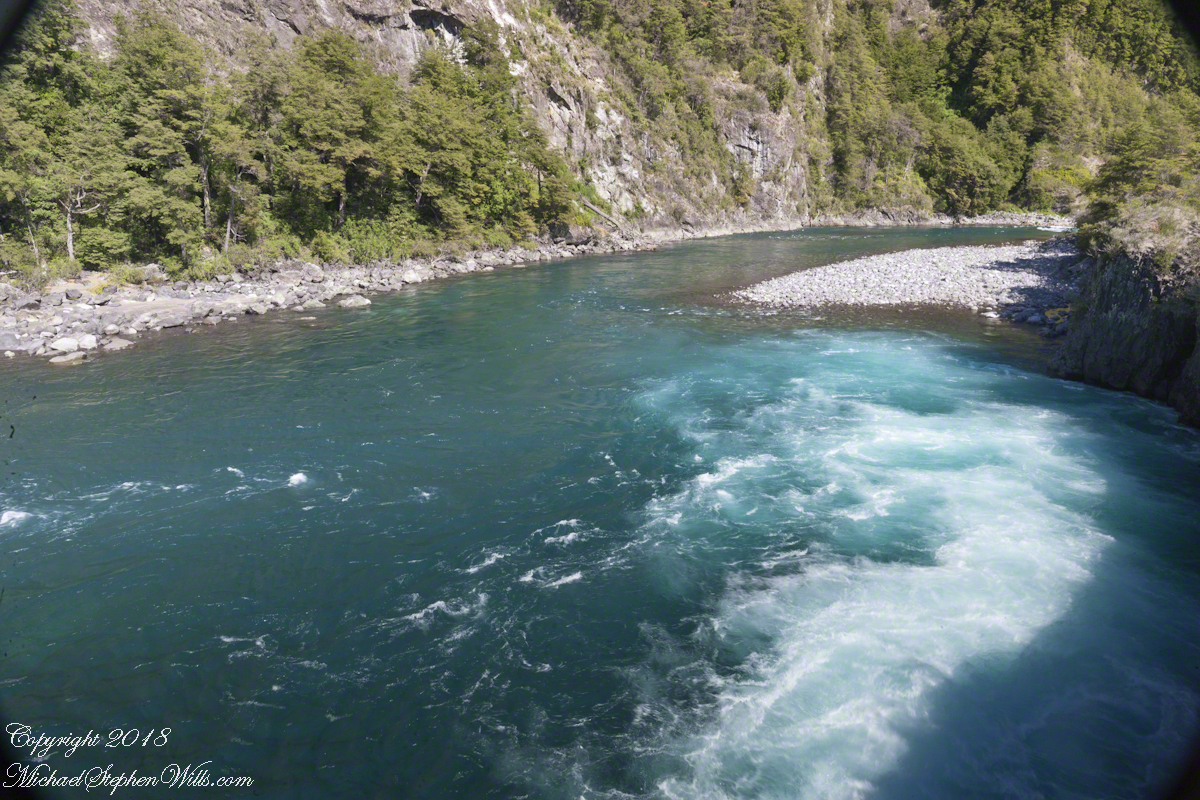
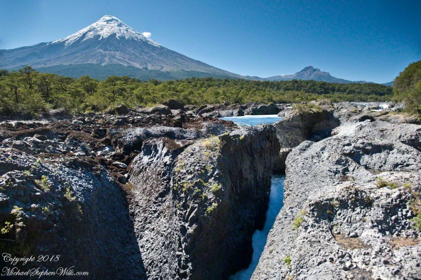
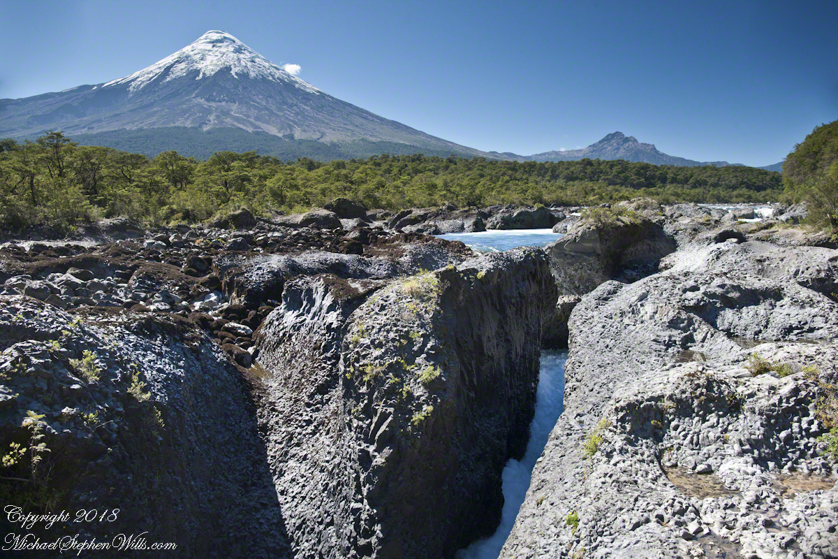
Glacial meltwater from Lake Todos los Santos (All Saints Lake) forms Petrohué River and, where the river flows over lava from the Orsorno Volcano, Petrohué Falls. This set of photographs features the emerald color the river originating from glacial minerals.
Click any photograph for a larger view.
A strangeness of these photographs is this is the middle of February, Chilean summertime.
Force of Nature
Another strangeness, not readily apparent, is the effect of the Coriolis force. Here in the Northern Hemisphere water (any moving mass, really) moving perpendicular to the rotating surface of the earth (a property of water is the surface follows the contour of the solid surface over which it flows) will tend to flow in a clockwise direction. Crossing the equator, in the Southern Hemisphere the tendency reverses, tending to flow to the left, counter-clockwise. With some imagination the effect of the Coriolis force can be seen in the following photograph.
Copyright 2021 All Rights Reserved Michael Stephen Wills
Petrohué Waterfalls (pronounced petro-WEH) is within Vicente Pérez Rosales National Park of Chile. For me, this view was one of the draws of our entire trip, that stratovolcano and its craggy children in the distance the same type as Mount Vesuvius, the volcano that wiped Pompeii off the map in 79 AD. Described by Pliny, the eruption type is named even today “plinian,” the most destructive and violent of all volcanic eruptions.
It was an irrational happiness I felt walking this place, I still smile to myself remembering it.
Click photograph for a larger view.
The mastery of water over volcanic rock deposited by ancient eruptions of the Orsorno Volcano.
Copyright 2021 All Rights Reserved Michael Stephen Wills
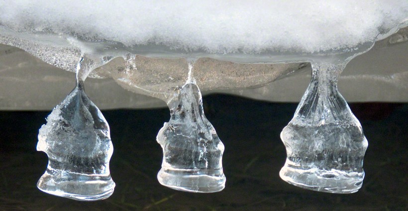
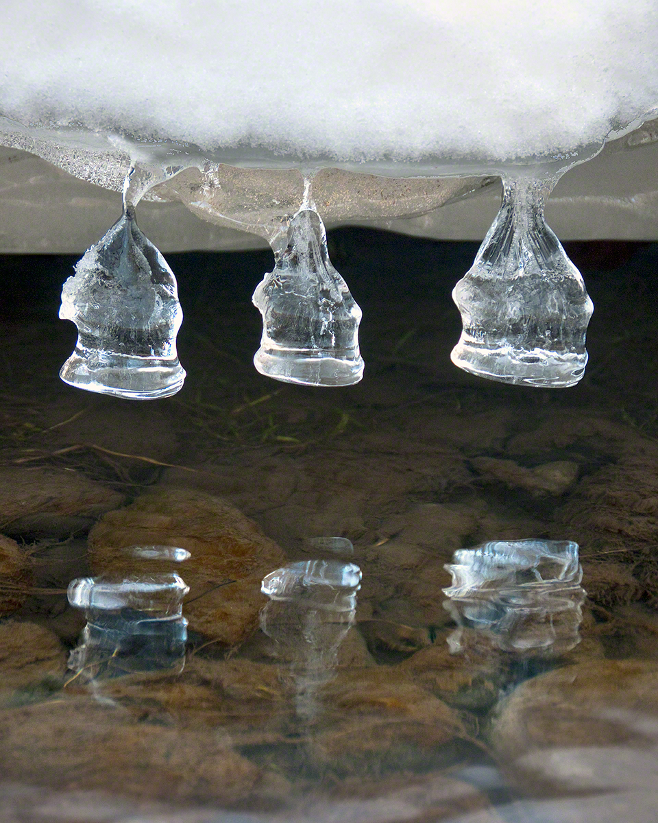
These icicles were formed along Fall Creek during the coldest months of February in the Finger Lakes Region of New York State.
The transient nature of these forms is suggested by the thinness of the pedicle joining each bell to the ice lobe of the ledge. Note the golden crystals in the ice lobe.
A visualization of the symbolic power of the numeral three, reflected on itself. Question: what do “threes” mean to you?
Captured with the Sony DSLR-A700, DT 16-105mm F3.5-5.6 lens, hoya circular polarizing filter, mounted on the Manfrotto tripod with ball head.
Click the photograph for my online gallery Ice Bells listing.
Copyright 2021 Michael Stephen Wills All Rights Reserved
I received notice of IStock acceptance of select photographs from my last posting, “Wilderness Textures”, was accepted. Click to view my IStock Portfolio, including photographs from today’s posting included in the acceptance notice.
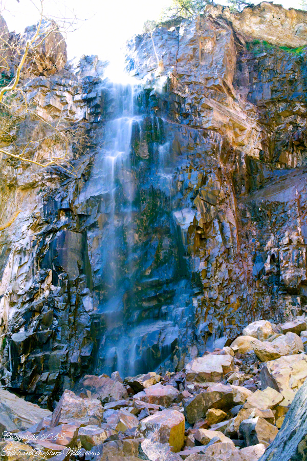
In this post I move up the Reavis Creek canyon from where the last posting, “Wilderness Textures”, was sited to the foot of Reavis Falls. With the first photograph you look up at the falls from the head of the canyon carved by the creek over eons. The rock wall, the canyon “head”, is thick with microorganisms, fungi, mosses.
Click Any Photograph for my Fine Art Gallery
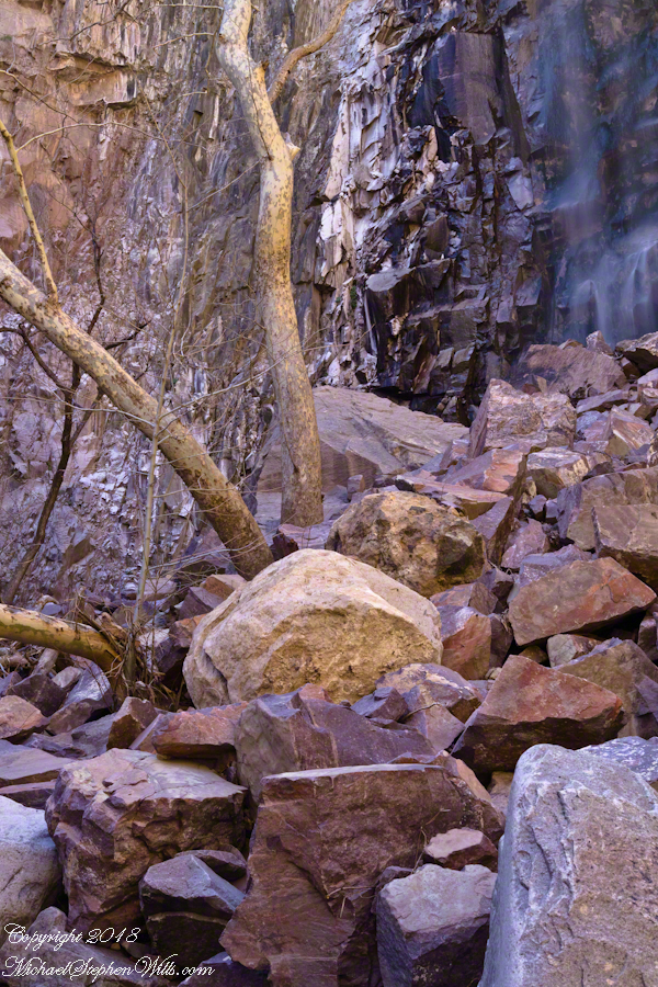
In the foreground is a jumble of boulders, some washed down at flood time, spread wide at the bottom of the falls, piled to a jumbled height of 15 feet.
Talus is the geological term for this formation. Derived from the Latin word for slope (talutum) the definition, from the Oxford English Dictionary, is “A sloping mass of detritus lying at the base of a cliff or the like consisting of material fallen from its face.”
Click Any Photograph for my Fine Art Gallery
The ankle bone is also called talus, from the French word for heel, I bring it up because climbing this chaotic, unstable jumble is a way to break your ankle. The route to Reavis Falls, a climb up one side of Lime Mountain then down the other on a non-existent (lightly marked) trail, is rated difficult and impossible with a broken leg or ankle. I was alone and very careful to check each rock for stability before putting my weight on it.
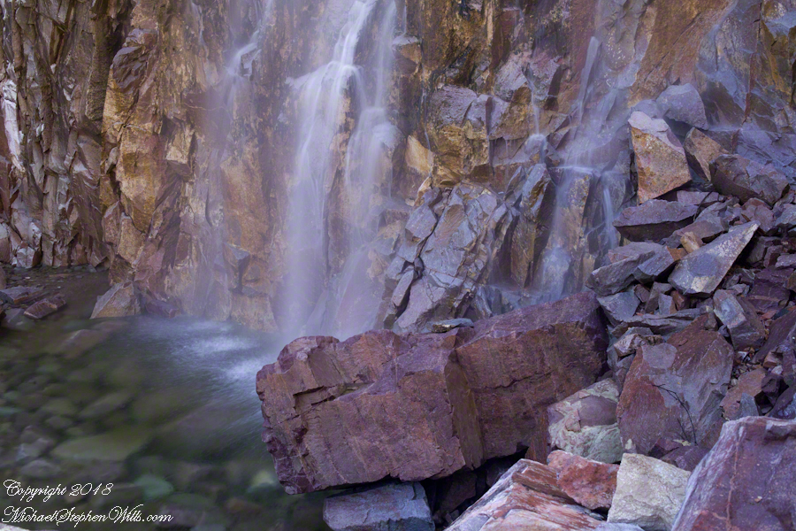
A climb of the talus pile was necessary to view the pool at the waterfall base, for this photograph.
Click Any Photograph for my Fine Art Gallery
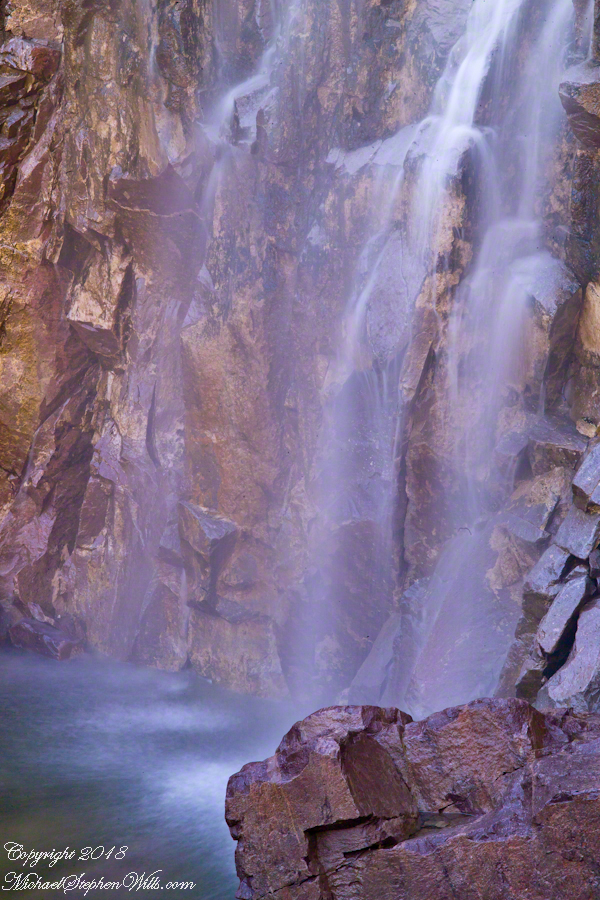
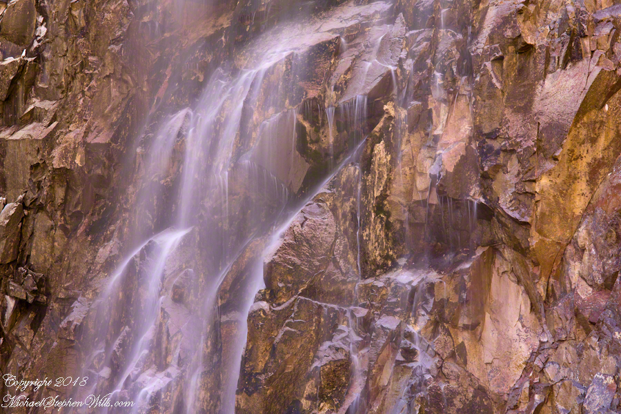
A more artistic vertical format version, below, captured with the Canon EF 100mm “macro” lens. All shots are using the Kodak DCS pro SLR-c (the “c” designated Canon lens compatibility) and a Manfrotto studio tripod with a hydrostatic ball head. The horizontal format shot was captured with a Canon EF 50mm f/1.4 USM lens. I prefer the vertical version, artistically, because the talus jumble is all but cropped out while the upper corner of the angular basalt boulder is left as an interesting focal point. The boulder, not being in the spray, is in focus to contrast with the basalt wall behind the water.
Click Any Photograph for my Fine Art Gallery
I captured a series of shots from this precarious vantage point, working up from the pool to the brim of the waterfall.
Click Any Photograph for my Fine Art Gallery
My goals was a composite photo of the falls. I have yet to succeed with this project. Maybe I will give it one more shot in spite of having learned the hard lesson the best photographs are a single moment captured in a single frame.
Click Any Photograph for my Fine Art Gallery
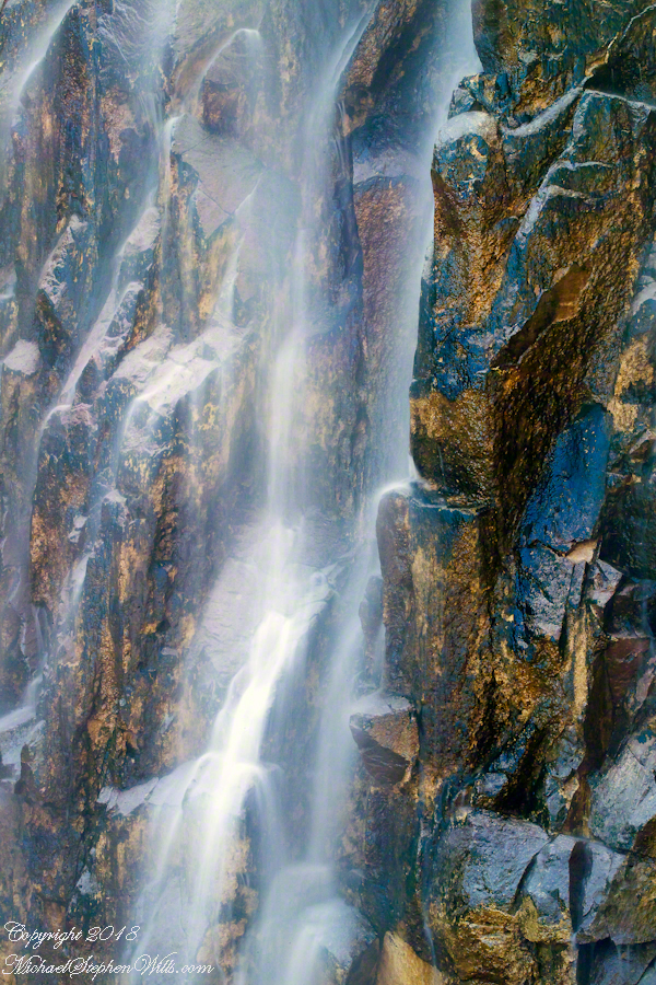
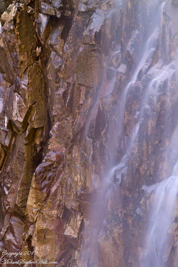
I find in this series the vertical aspect is more artistic. The water volume, of the falls, at this time of year offers only the finest of sprays with most of the basalt rock wall only moist. The 100mm “macro” lens allowed me to include only the falling water with a bit of the moist wall for contrast.
In the following version I experimented with color, moving from the narrow range of hues, to more contrast.