Ladies View 2

Derrycunihy Townland, County Kerry, Republic of Ireland

Here we are, on the road from Kenmare to Killarney, N71, part of the Ring of Kerry around the Iveragh Peninsula. The view was celebrated by Queen Victoria’s Ladies-in-Waiting during an 1861 tour of Ireland

Click pic for larger view in a new browser tab. If you are in WordPress Reader, open the post to use this feature.

Copyright 2021 Michael Stephen Wills All Rights Reserved

Ladies View 1

Derrycunihy Townland, County Kerry, Republic of Ireland

Here we are, on the road from Kenmare to Killarney, N71, part of the Ring of Kerry around the Iveragh Peninsula. The view was celebrated by Queen Victoria’s Ladies-in-Waiting during an 1861 tour of Ireland

Click pic for larger view in a new browser tab. If you are in WordPress Reader, open the post to use this feature.

Copyright 2021 Michael Stephen Wills All Rights Reserved

Eirk Townland View Four

Looking toward Lough Gummeenduff

We are near Molls Gap on the Ring of Kerry. At our feet is Eric townland, there’s an epynmous Bog Nature Reserve down there.g of Kerry. At our feet is Eric townland, there’s an eponymous Bog Nature Reserve down there.

Townlands Derrylough, Crossderry and distant Bunbinnia take up most of the view. Those familiar with post-glacial topography will recognize the glacially oversteepened slopes of the distant through valley. The valley floor is a glacial outwash plain.

Click pic for larger view in a new browser tab. If you are in WordPress Reader, open the post to use this feature.

Copyright 2021 Michael Stephen Wills All Rights Reserved

Eirk Townland View Three

Across the far mountains is Black Valley

Here we are still standing in Moll’s Gap, looking a bit farther northwest into Black Valley than for View Two. Across the far mountains is Black Valley, a place so remote it was among the last, on the island itself (“mainland”) to be electrified or connected to telephone networks. Today Black Valley is a southerly route to the Gap of Dunloe well known to certain hikers and cyclists.

I am struggling here to deal with the vast range of light intensity from the glow of a westering sun, to the shadows cast by surrounding heights.

Beneath our feet are the slopes of Derrygarriff (in Irish Doire Gharbh) of the Mangerton range. Across the way is Crossderry peak of the Dunkerron mountains, the townland is named for the peak (or vice versa).

Click pic for larger view in a new browser tab. If you are in WordPress Reader, open the post to use this feature.

Here is a second try, a bit more successful as the clouds opened to shine on distant land. I did work in Photoshop to manage the brightest clouds.

Here are all three versions of the Black Valley view from Moll’s Gap. Enjoy

Copyright 2021 Michael Stephen Wills All Rights Reserved

Eirk Townland View Two

Black Valley

Here we are standing in Moll’s Gap, looking northwest into Black Valley, a place so remote it was among the last, on the island itself (“mainland”) to be electrified or connected to telephone networks.

Beneath our feet are the slopes of Derrygarriff (in Irish Doire Gharbh) of the Mangerton range. Across the way is Crossderry peak of the Dunkerron mountains, the townland is named for the peak. Black Valley, now a southerly route to the Gap of Dunloe well known to certain hikers and cyclists, is beyond the far mountains.

Click pic for larger view in a new browser tab. If you are in WordPress Reader, open the post to use this feature.

Copyright 2021 Michael Stephen Wills All Rights Reserved

Eirk Townland View One

Here we are in Moll’s Gap, also known in the Irish language as Céim an Daimh (meaning, Gap of the Ox)

Here we are, on the road from Kenmare to Killarney, N71, part of the Ring of Kerry around the Iveragh Peninsula. The spot is the mountain pass Moll’s Gap, also known in the Irish language as Céim an Daimh (meaning, Gap of the Ox). In the Nineteenth Century a woman named Moll Kissane ran a public house here, operating illegally.

The mountain of this townland, named Eirk (also known as Adhard) , is composed of a fine grained sandstone found in a wide swath from North America’s northeastern coast, Greenland, Ireland, Great Britain — lands formerly part of the same ancient continent.

Click pic for larger view in a new browser tab. If you are in WordPress Reader, open the post to use this feature.

Copyright 2021 Michael Stephen Wills All Rights Reserved

Galway Bay View from Dún Aonghasa

a season of wildflowers across a karst landscape

Another aspect of the gradual 1/2 mile inclined path to the central ring of the prehistoric Dun Aonghasa ruins of County Galway, Ireland.

The view north, northwest from this way to Dun Aonghasa (Dun Aengus).  In early June, looking across wildflowers, karst landscape, walled fields, farms, the North Atlantic Ocean, coast of Connemara and the 12 Bens (12 Pins) mountains. 

Note the doorway (with long lintel) in the surrounding wall, to left of center in middle distance.

Click the photograph for a larger view.

Click the link for my Getty IStock photography of the Aran Islands
Click me for the first post of this series, “Horse Trap on Inishmore.”

References: search wikipedia “Dún Aonghasa.”

Copyright 2021 Michael Stephen Wills All Rights Reserved

June Nature Walk

A perfect afternoon, June 16, 2021

Here is a repost for those who missed the video. Please click on video, below and share your responses via comments. Thank You

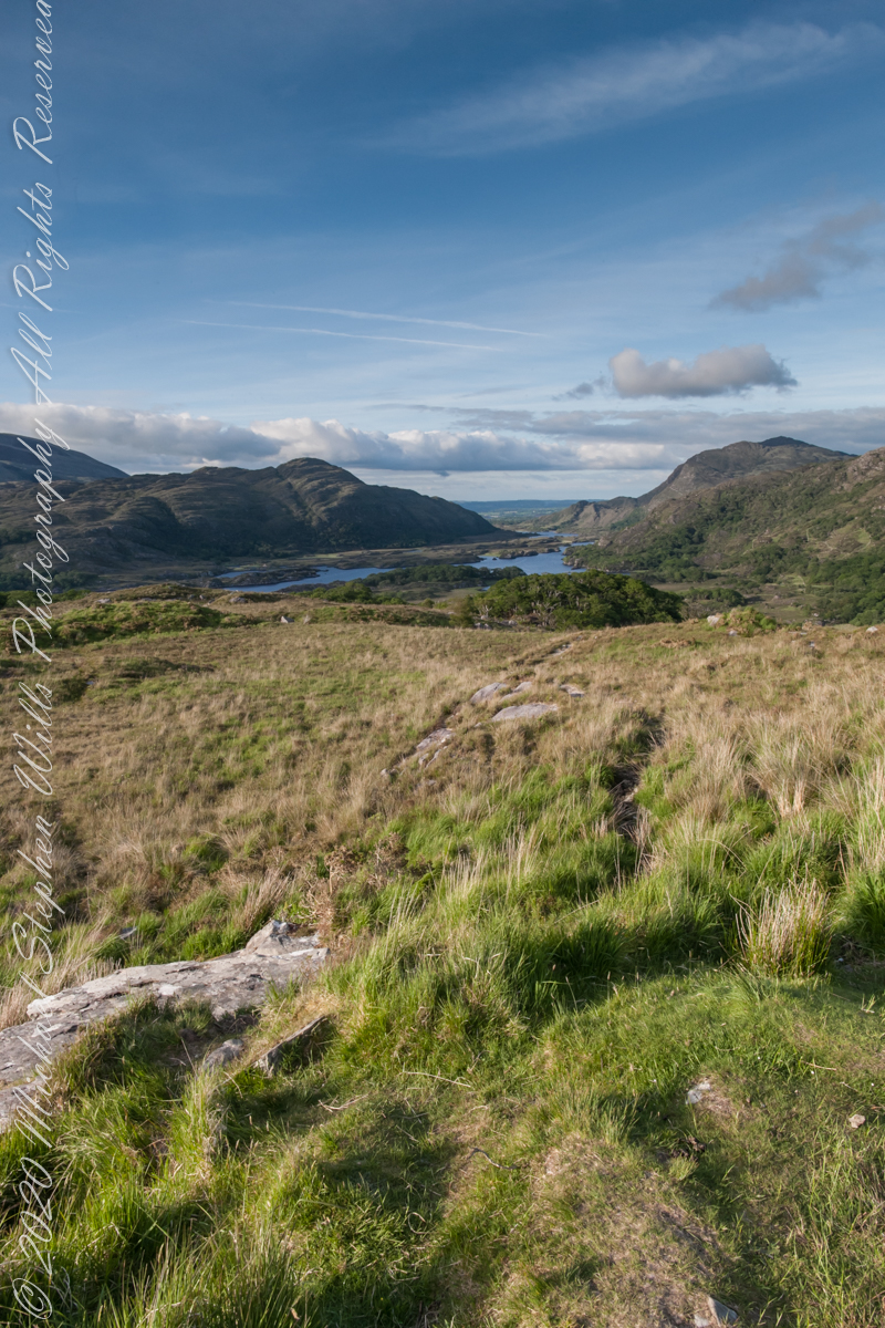
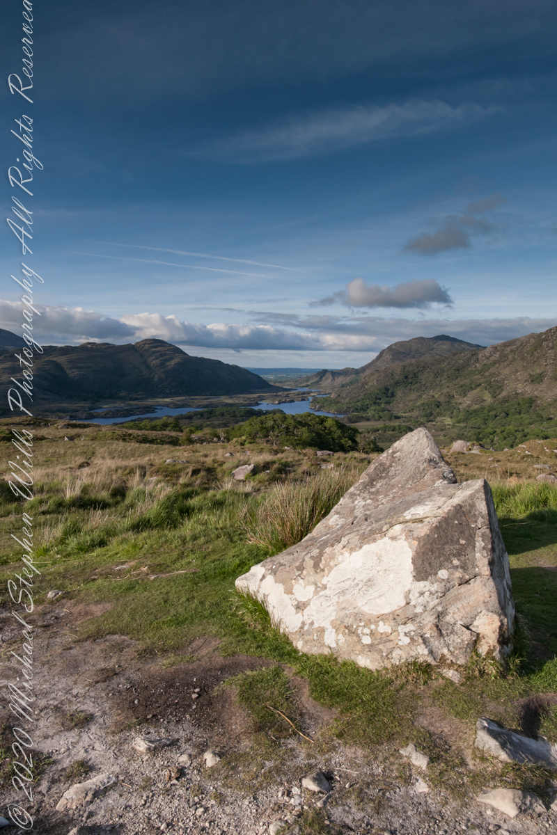
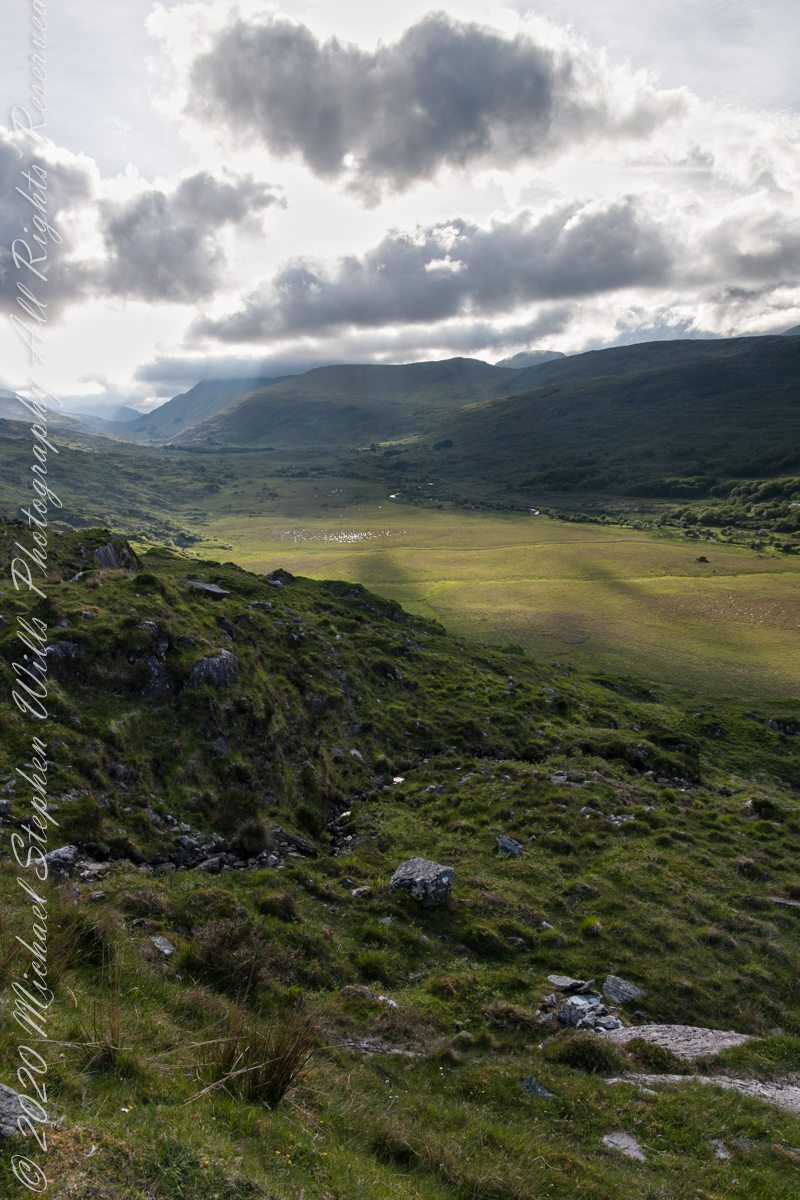
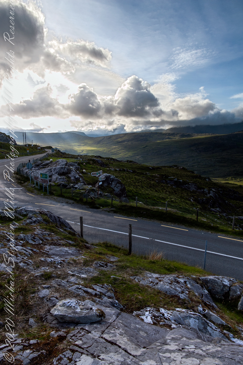
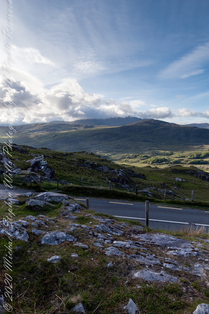
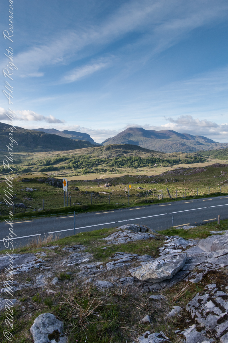
The Finger Lakes Trail joins Robert H. Treman New York State Park, running along the south rim along the park border.

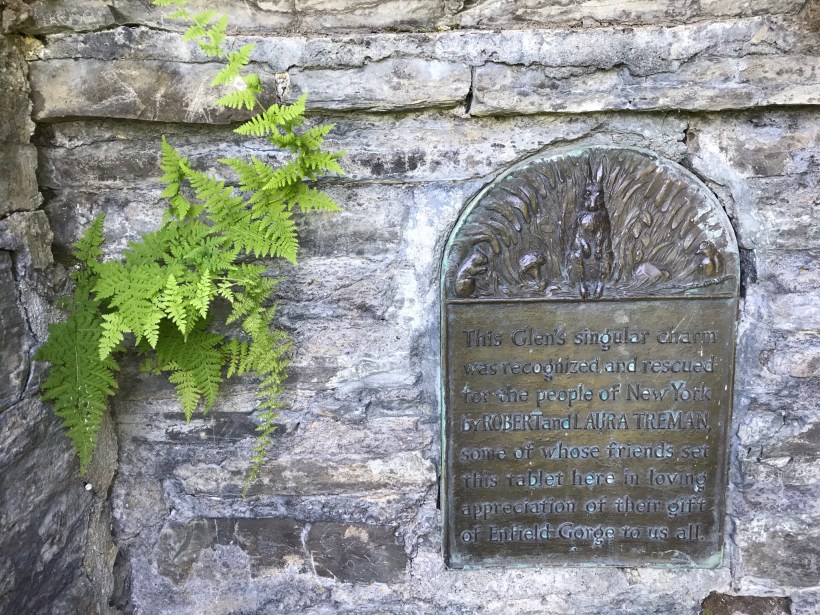
Today, I started from the stairs next to the Mill of the upper park, walking along Fish Kill Creek, a brief visit to the CCC plaque, over the new footbridge and a steep climb up to the ridge to a marvelous view over the way we just walked. That is a millipede resting on a wooden trail stake.

A word on the creek name. The Dutch word for creek is “Kill”, the anglicisation of the original name retained the Dutch making it, in effect, “Fish Creek Creek,” not a memorization of fish massacre.

There’s one shot of the damage done to tree leaves by hoards of caterpillars…I found chewed-up leaves at my feet throughout the hike.

Then, I re-join the State Park South Rim trail, down the Cliff Staircase to wander the gorge floor below Lucifer Falls.

Up the Gorge Trail with many shots of these wonders including Lucifer Falls, Devil’s Kitchen Waterfall, and the Gallery.

Close with a shot of early Tiger Lily blooms on the south facing bank of Enfield Creek.

I used a new format with this post, with all media in one You Tube video. Enjoy!!

Finger Lakes Trail and Treman Park June 16 2021 – YouTube

Copyright 2021 Michael Stephen Wills All Rights Reserved

Woody Peony 100 mm

Macro series

See my May Woody Peony postings for background on this peony variety.

These photographs were taken with a Canon EOS 5D Mark IV dslr and the Canon EF 100mm f/2.8 Macro USM lens stabilized with the Manfrotto BeFree Carbon Fiber tripod with ball head.

The morning breezes of May caused me to “up” ISO to 1600 for a faster shutter speed at higher f-stop.

Taking full advantage of the macro lens, the higher ISO helped to maintain sharper focus on the highlighted feature, in this case the stamens.

A gallery of macros with various settings and aspects of the bloom.

Copyright 2021 All Rights Reserved Michael Stephen Wills

Woody Peony Reader Query

“It is difficult / to get the news from poems / yet men die miserably every day / for lack / of what is found there.” Asphodel that Greeny Flower WC Williams

Here is a Sunny Sunday reader assignment. Which handling of this woody peony blossom do you prefer? Please leave your preferences in the comments section with details of your reasoning. Thank you!!

These photographs were taken with a Canon EOS 5D Mark IV dslr, new for me as of 2020, and the Canon EF 50 mm f/1.2L USM lens stabilized with the Manfrotto BeFree Carbon Fiber tripod with ball head. This setup allowed me to fiddle with camera settings, here you see a variation in the width of the shutter diaphragm opening, or F-stop. The smaller the opening (higher F-stop) less light is let through to the image sensor, longer exposure time (allowing the subject to move, as in the morning breeze) offset by greater depth of field, more of which provides sharp focus as the subject elements are further from the lens.

In this first photograph, the F-stop is moderately high. The entire blossom and plant are in focus, the background moderately blurred though still recognizable.

For the second photograph F-stop is low, opening up the shutter diaphragm, allowing more light in for a faster shutter release, less time for the morning breeze to rise up and ruin the shot. The beautiful background blurring, bokeh, is a feature of this 50 mm lens. At the same time, at F/4.0 the shutter diaphragm is not wide open. The blossom is entirely in focus, many plant leaves and the other blossom, to left, are out of focus. This places emphasis on the primary subject of the photograph while providing a feel for the surroundings.

Here are the same photographs, click on one to open a gallery for you to flip back and forth to compare.

Copyright 2021 All Rights Reserved Michael Stephen Wills