Good news….Click Me for the link to my latest photographs accepted by Getty, from this series of 2022 Fillmore Glen. You may acquire reasonably priced rights to use these photographs in your work.
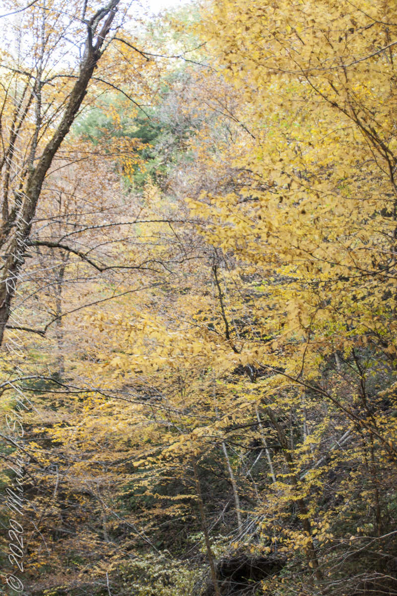
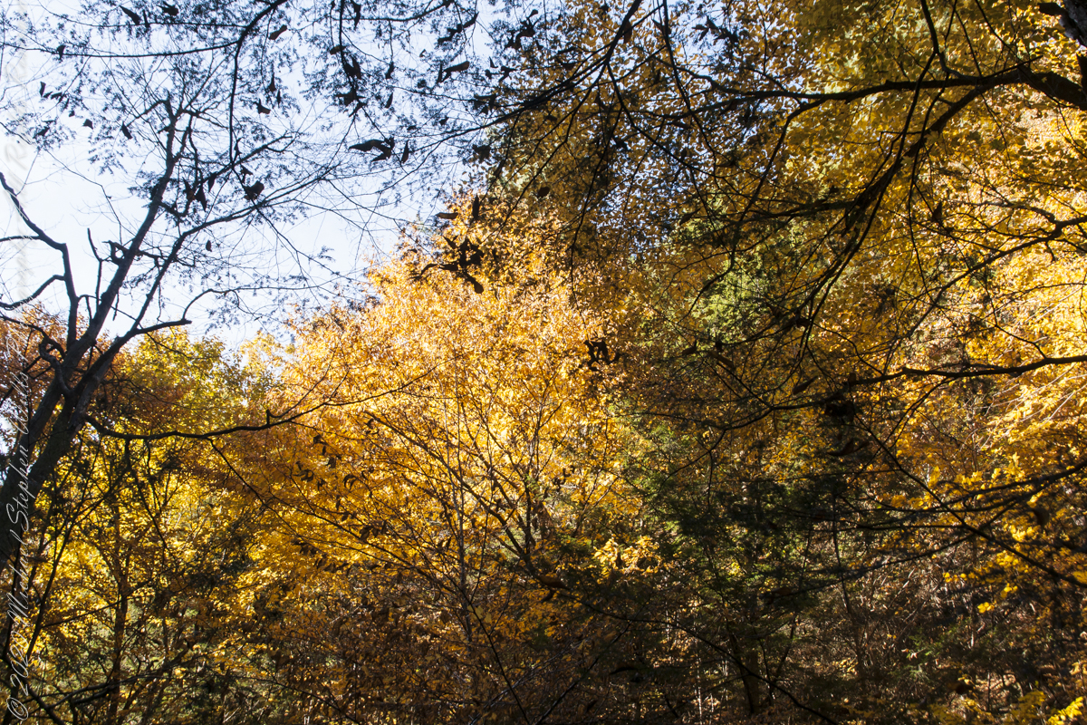
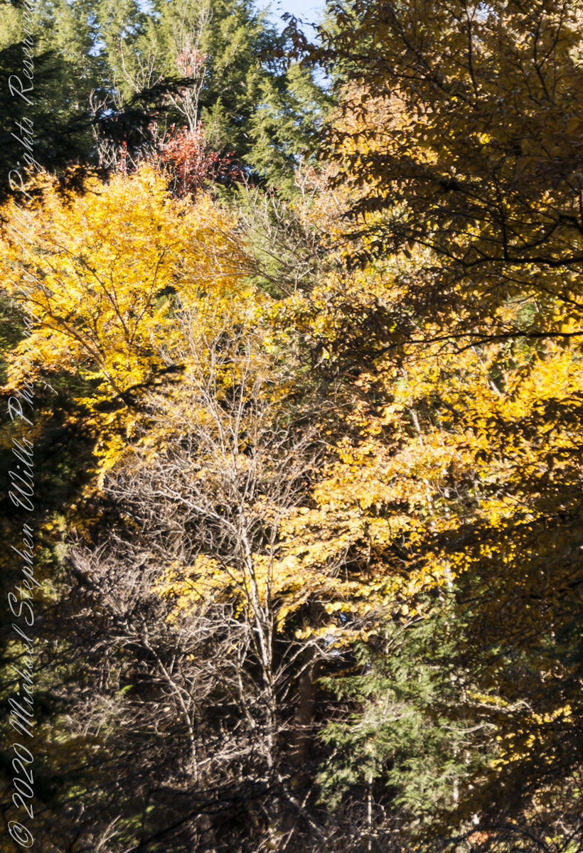
My Sony Alpha was in use during our October 16 drive to Fillmore Glen. As we traversed landscapes, autumn glory of Tompkins and Cayuga Counties was captured. Thank You, Pam, for driving.
Heading today’s post is a windshield shot, I’m loving the effect of a golden road.

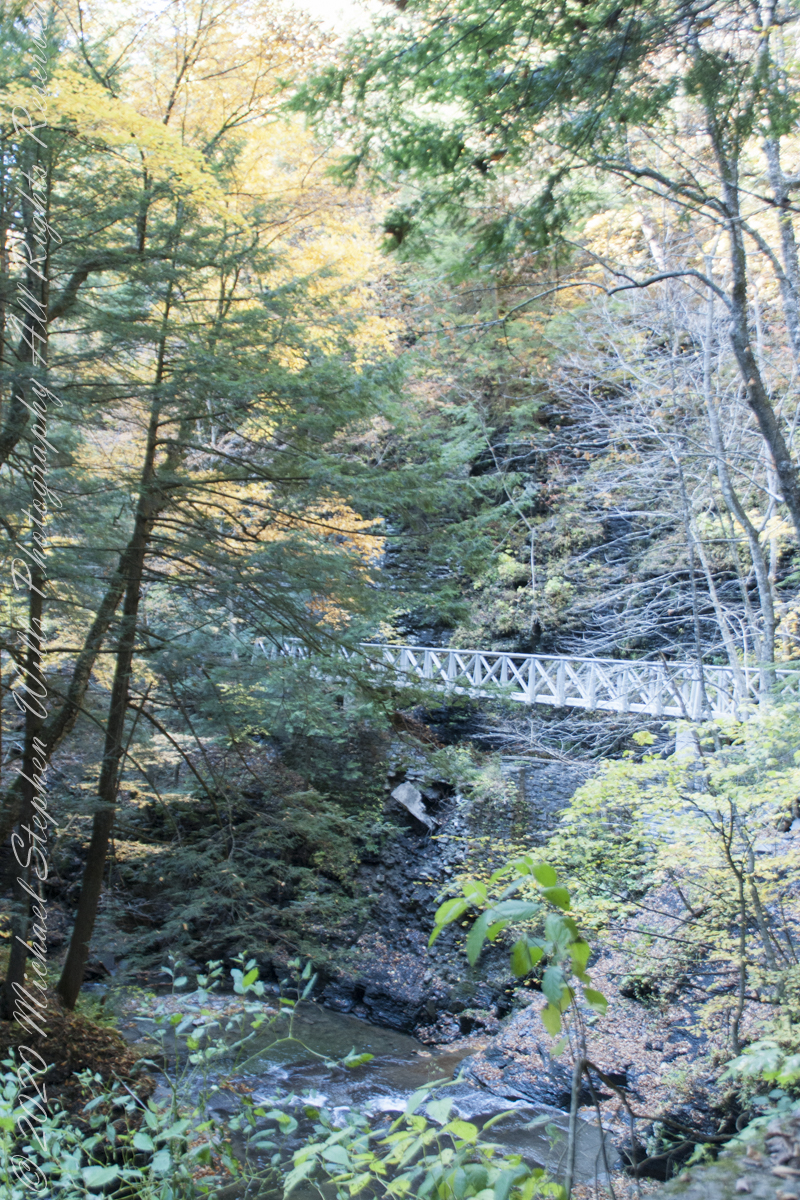
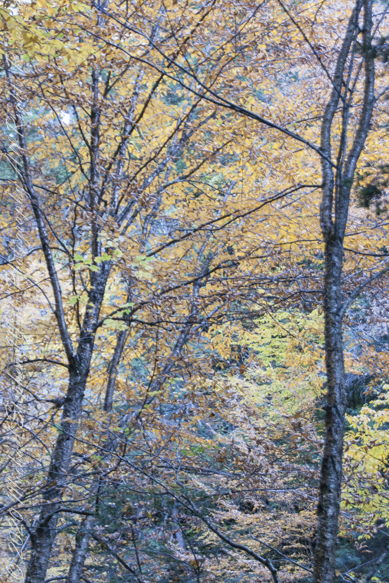
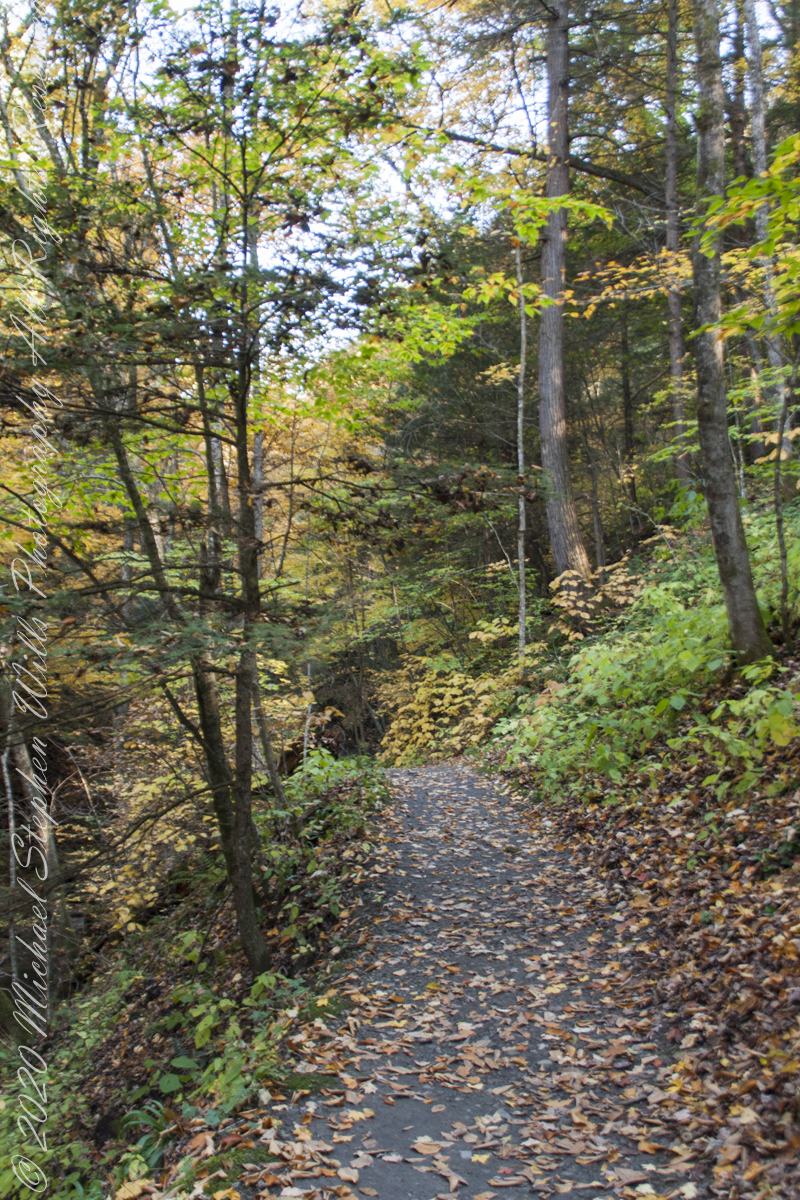
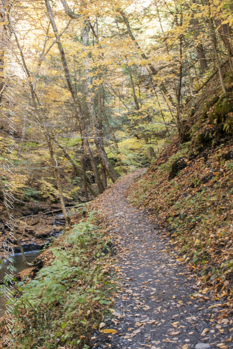
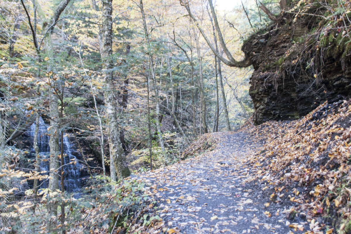
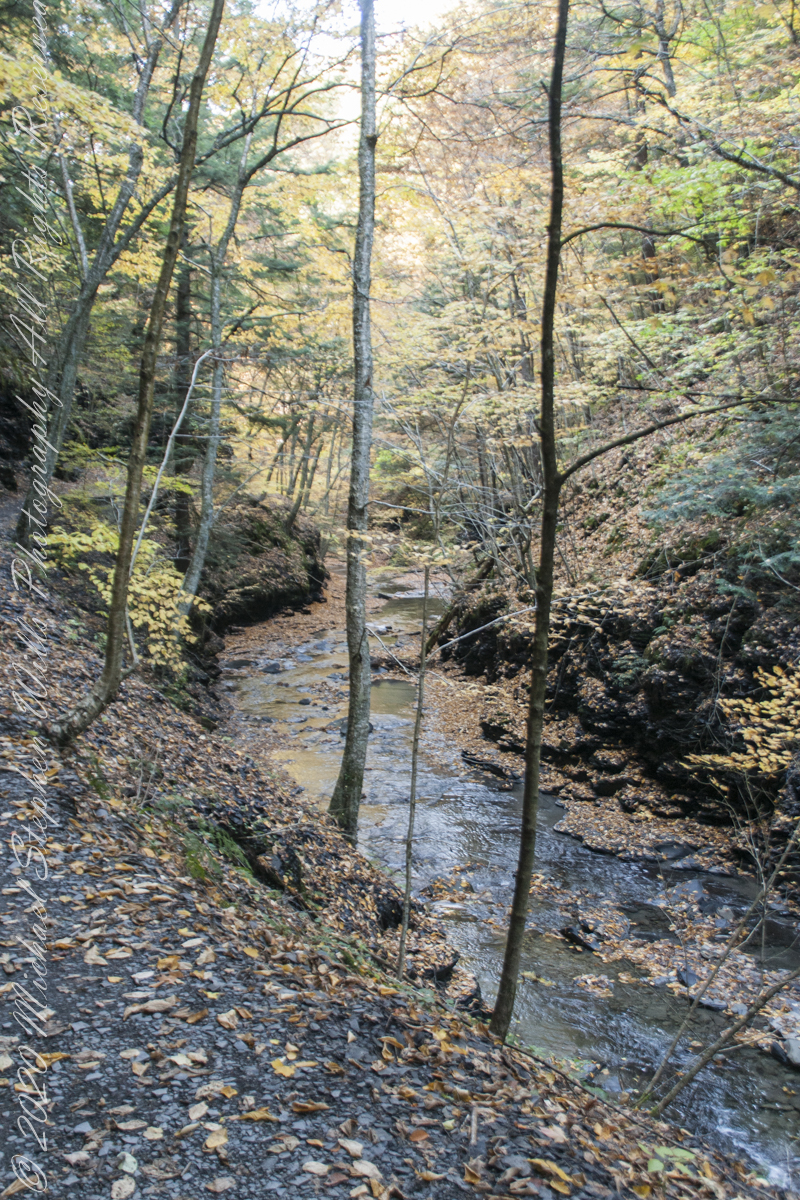
During our walk, I used the Sony Alpha for a parallel series of shots to compliment the tripod mounted Canon. Here are some of those results.
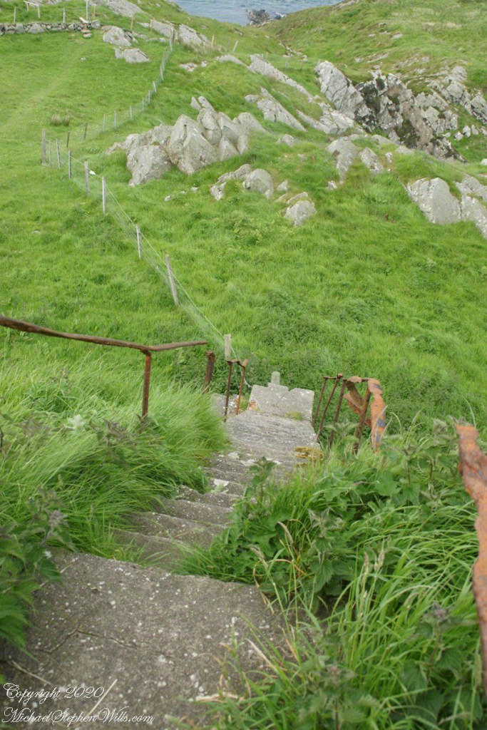
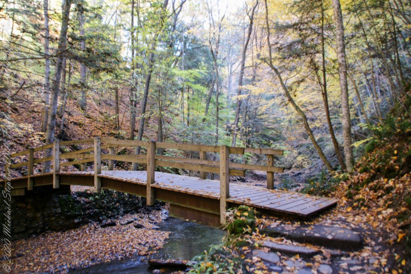
Step up and over

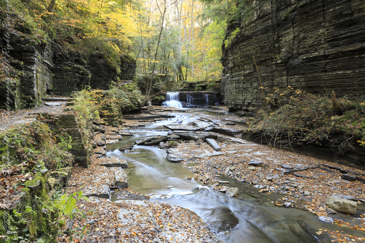
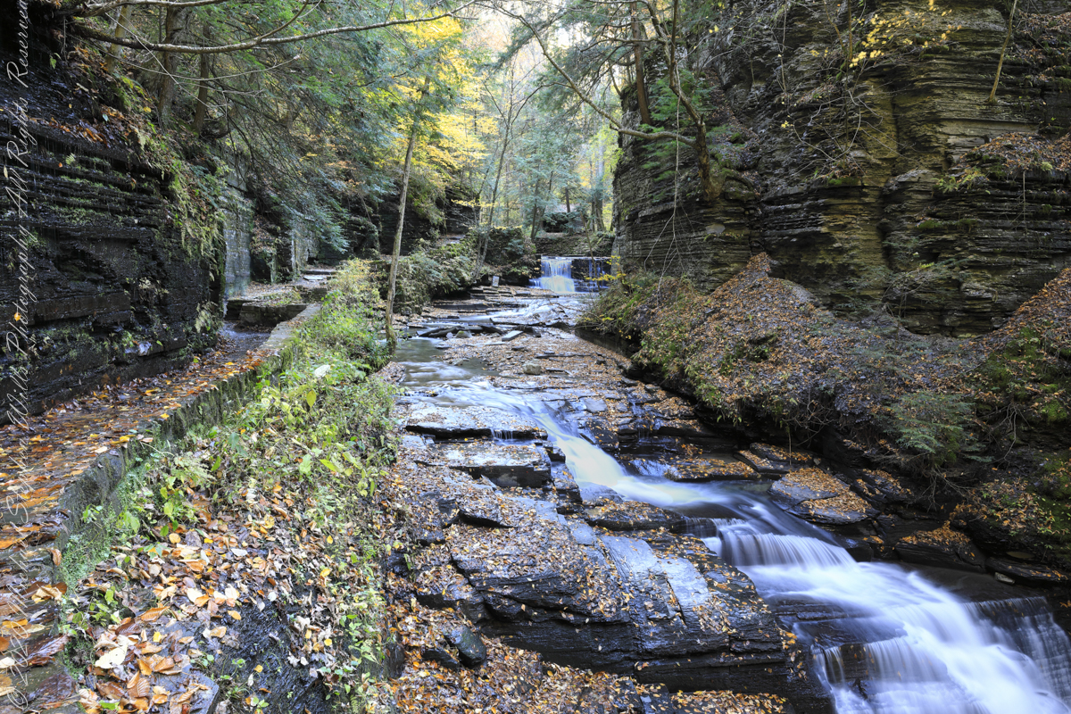
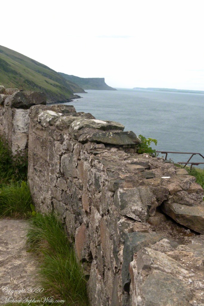
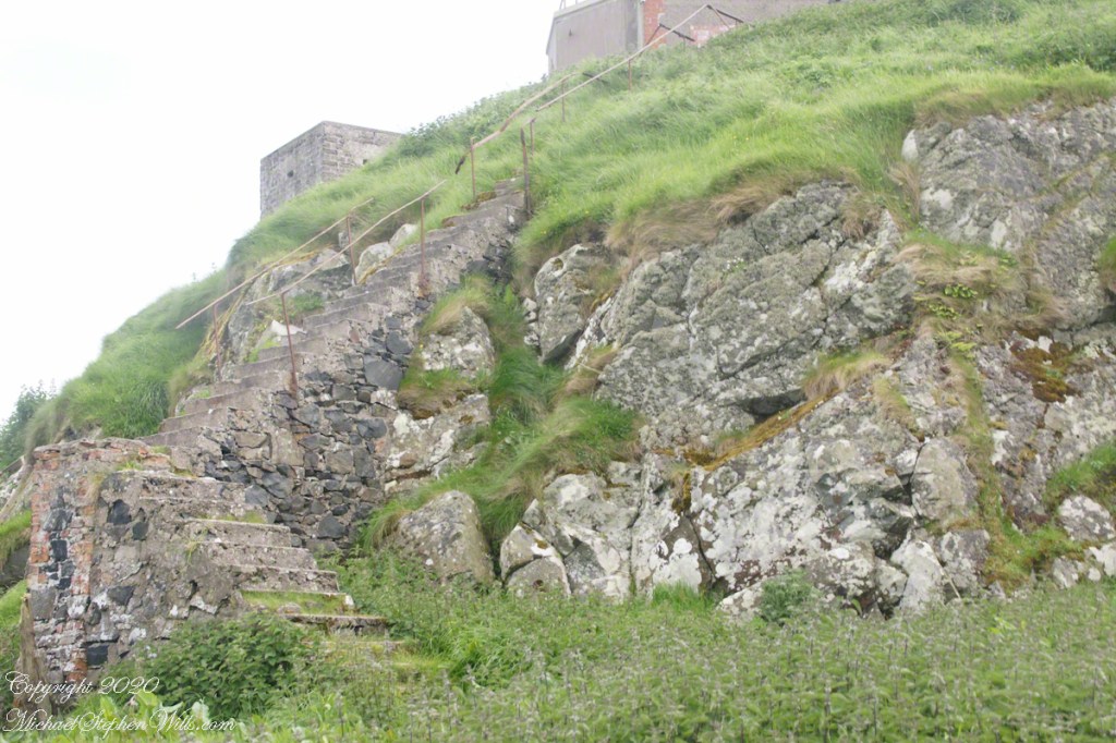
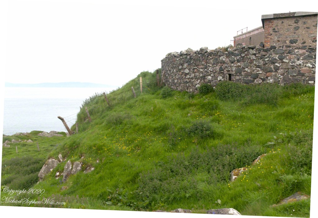
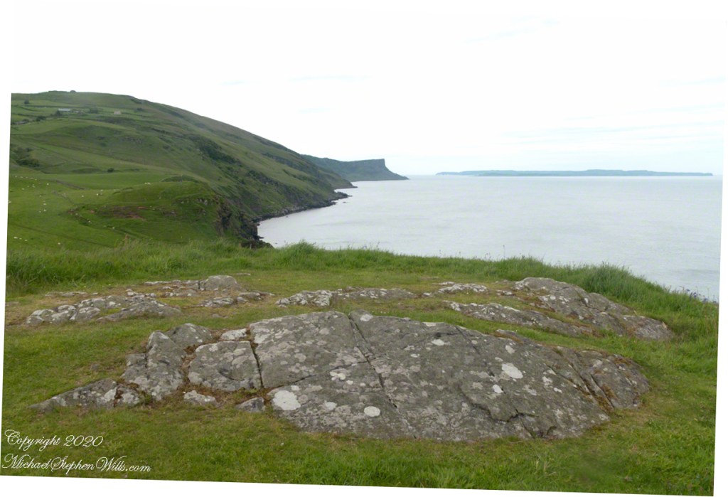
Enjoy this collection of Fillmore Glen pathways


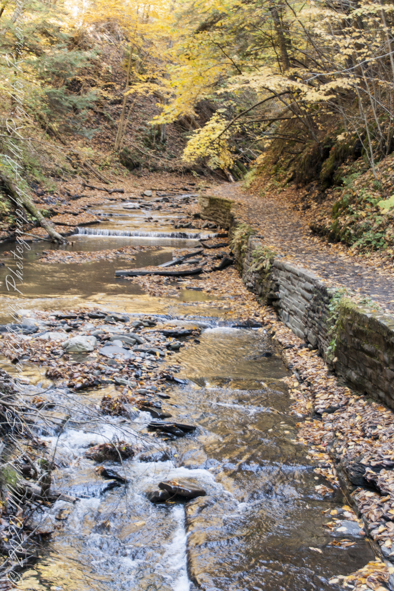
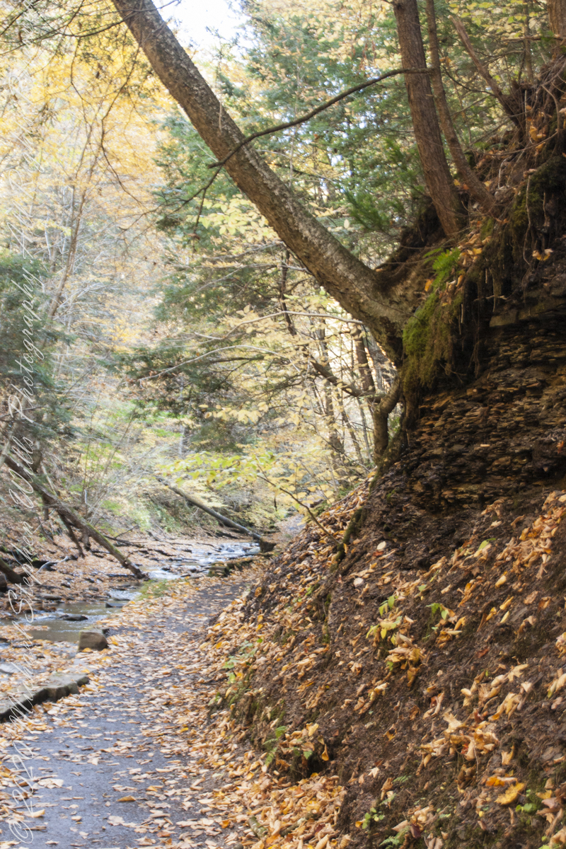


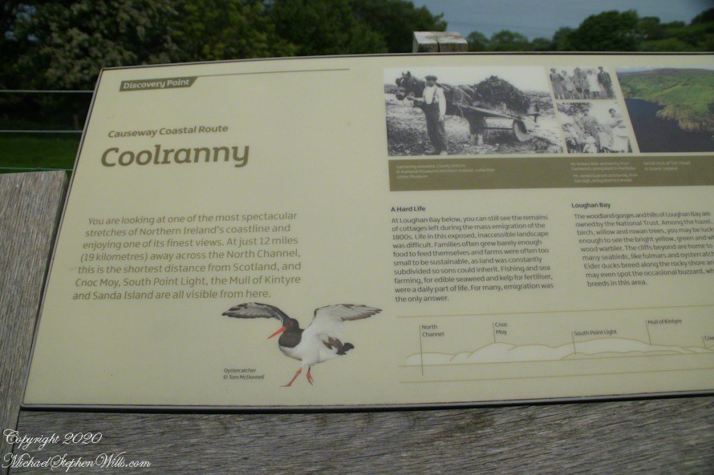
Fillmore Glen, New York State Park, Cayuga County, Moravia, New York