My photographic style centers on the use of natural light to visualize emotion and evoke memory. The evolution of my style began early in the year 2002, with an imperative to capture personal and fleeting memories.
My son and I traveled to New York City, to view the first Saint Patrick's Day parade after September 11, 2001. My work from that parade was so successful and satisfying (see "New York Fire Department, Saint Patrick's Day 2002") I just never stopped.
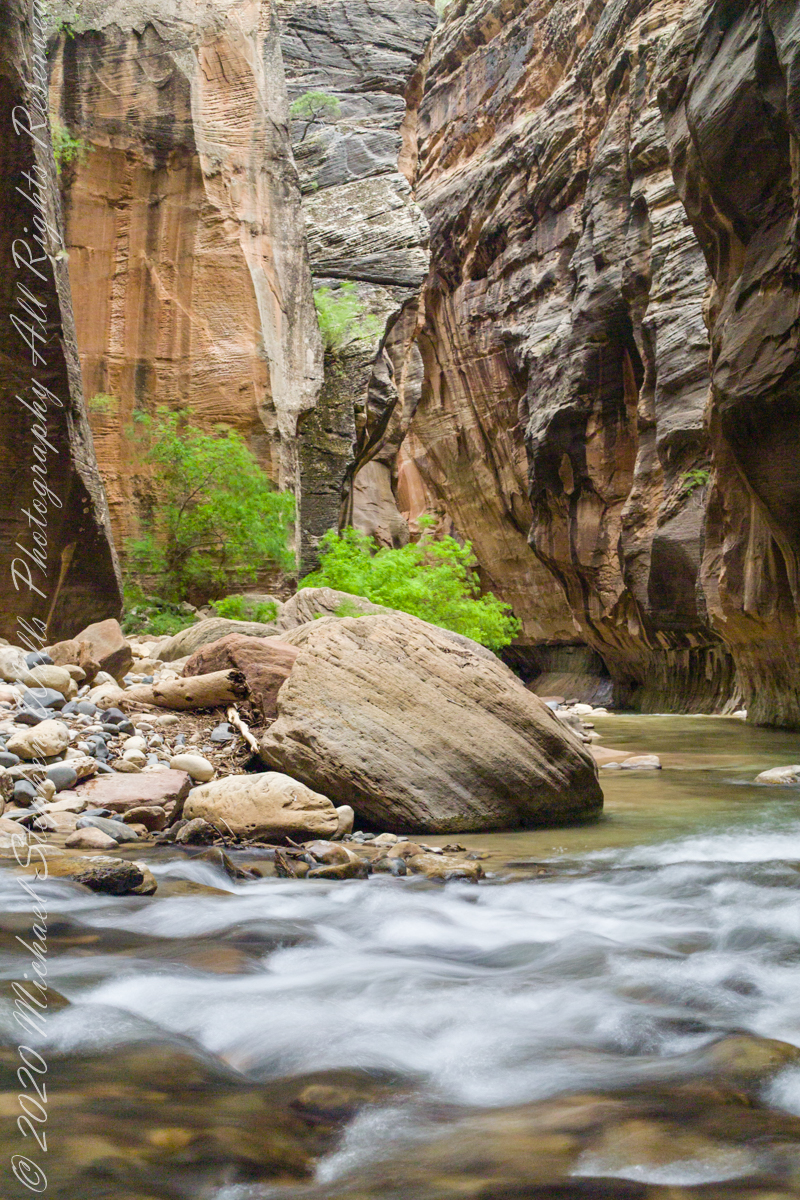
The first of three long exposures of the Virgin River from the Narrows on the way back to Pam. Earlier on Pam headed back, concerned about thunderstorms and the possibility of flash floods. I hung on, for the perfect photo. I came pretty close here, with the flowing water coming aound this outcrop of picturesque boulders, canyon turning sharply right up ahead.. The Narrows, Zion National Park, Springdale, Utah
Copyright 2021 Michael Stephen Wills All Rights Reserved
More from the day Pam and I walked up the hill from our Malloryville Mill House.
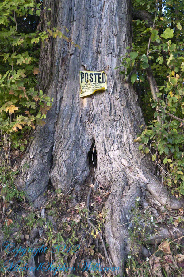
The setting sun works its magic on a century plus maple tree on an esker bank. The glaciers deposited this esker, under the tree, when waters from the melting flowed under the ice to carve a tunnel later filled with glacier debris.
Click any photograph to visit my Online Gallery “Finger Lakes Memories.”
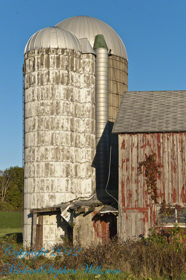
The light brings out the beauty of two this pair of silos from the early 20th century abutting an abandoned barn and active cornfields.
Pam is using my first camera, a Sony Mavica. It writes to a 4.5″ disk that limits the number of exposures and I carried a number of the disks. It has a decent variable lens. We still have that camera. These photos are from my Sony dslr Apha700 with a variable lens.
At that time, our three apple trees gave a bountiful harvest. We spent two days making and canning apple sauce. For some batches we’d grind in blackberries or concord grapes. We enjoyed the work over the next year. Our grandchildren loved that stuff.
These apples hung from a tree of the farm house next to the abandoned barn. A young family lived there, their toddler daughter recognized us from other walks and came over for a “hello”.
Other postings this Harvest View evening. Click the link to go there.
The previous post was an overview the Fulacht Fiadh associated with the Drombeg Stone Ring of County Cork, Republic of Ireland.
In this post, we explore the elements of these fascinating remnants from the late Bronze Age, over 3,000 years ago.
Click pic for a larger view, in a new tab. When using WordPress Reader, you need to open the post first.
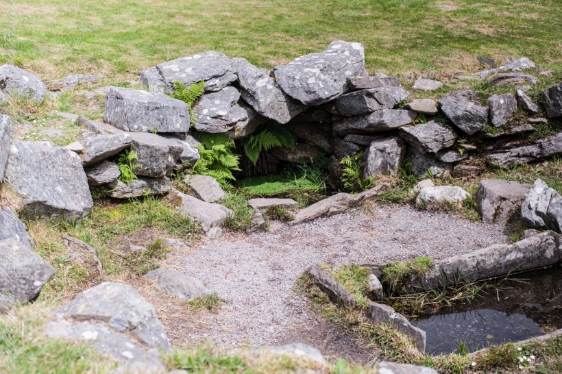
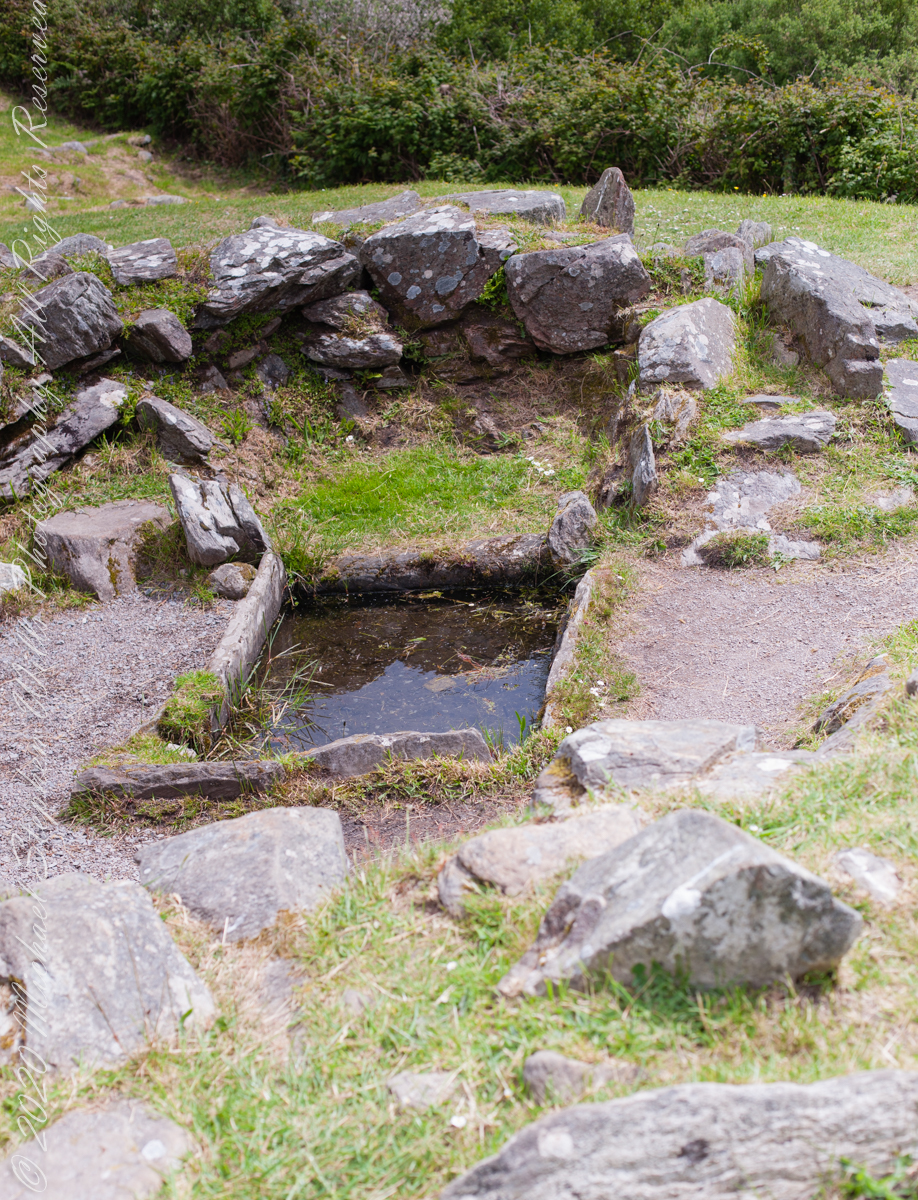
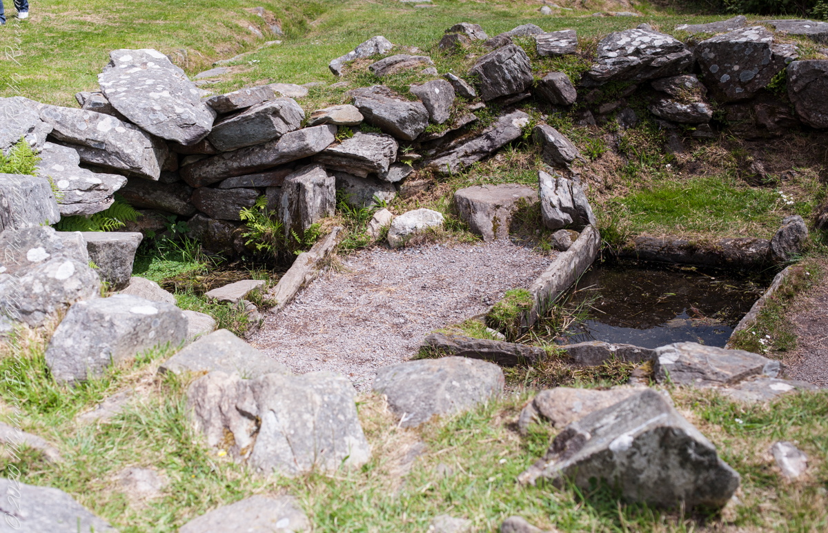
rock- lined pit
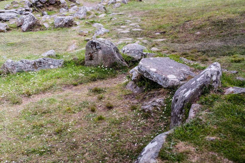
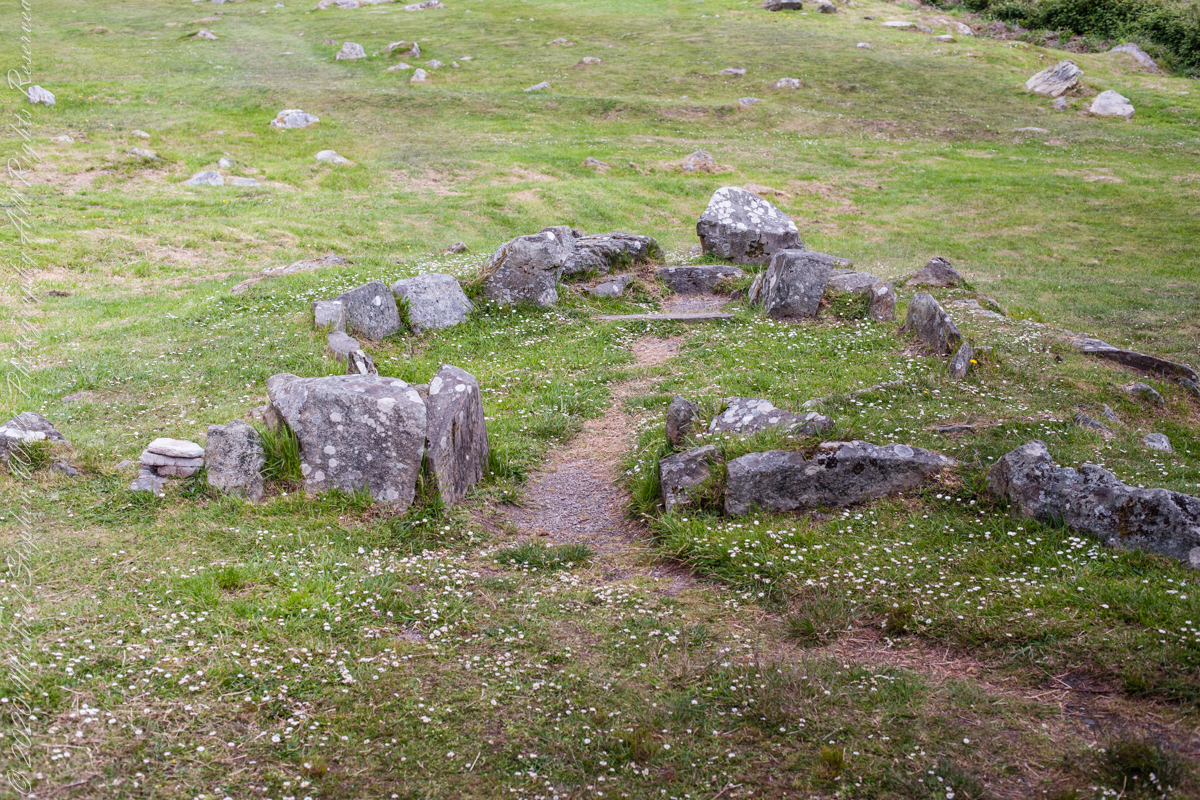
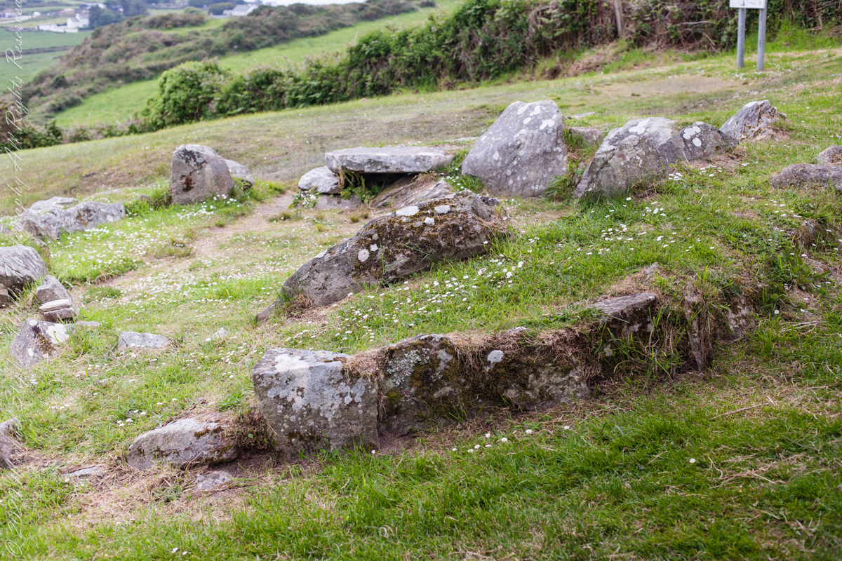
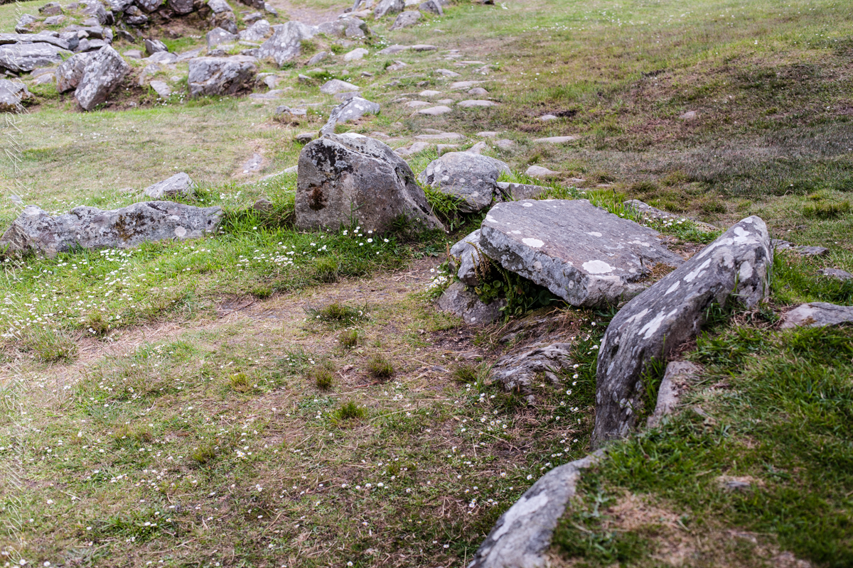
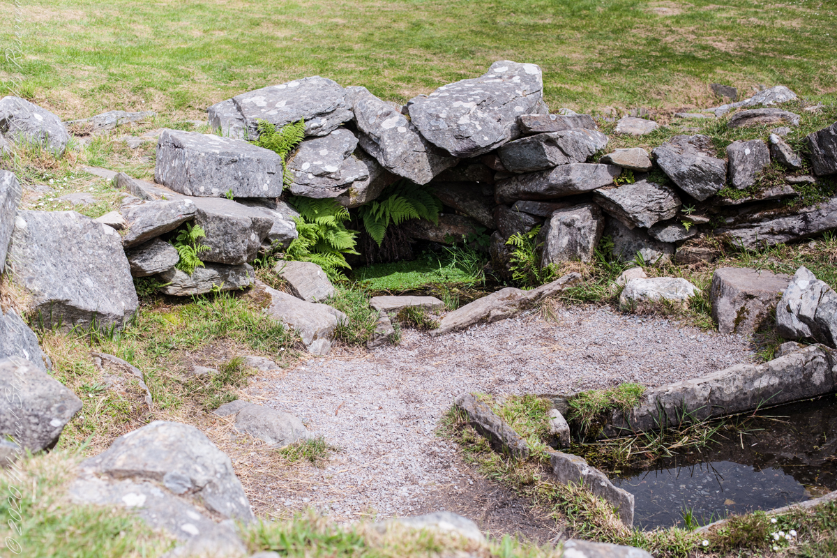
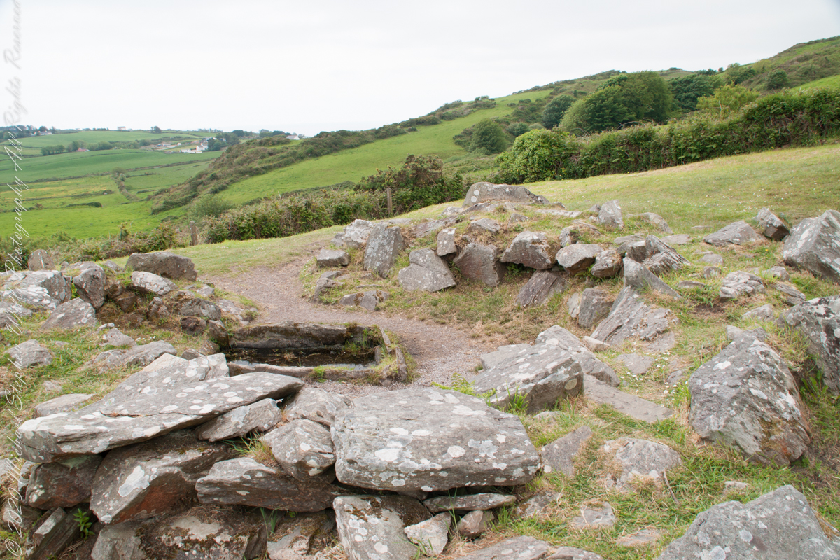
It is amazing the rock wall survived human need for the valuable wall stones. Portions were stolen, though for the most part we can see enough to understand.
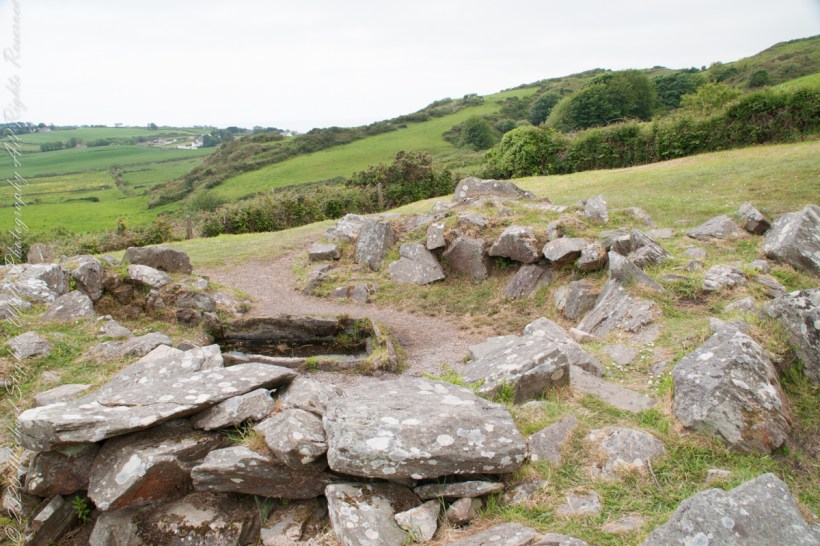
rock- lined pit and hearthView of entrance to the south from above the spring, visible is the rock lines cooking pit filled with ground water.
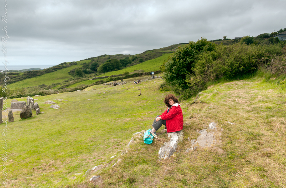
Notice the groupings of visitors in the middle distance of Pam’s photograph, gathered around remains of late Bronze age elements.
Click pic for a larger view, in a new tab. When using WordPress Reader, you need to open the post first.
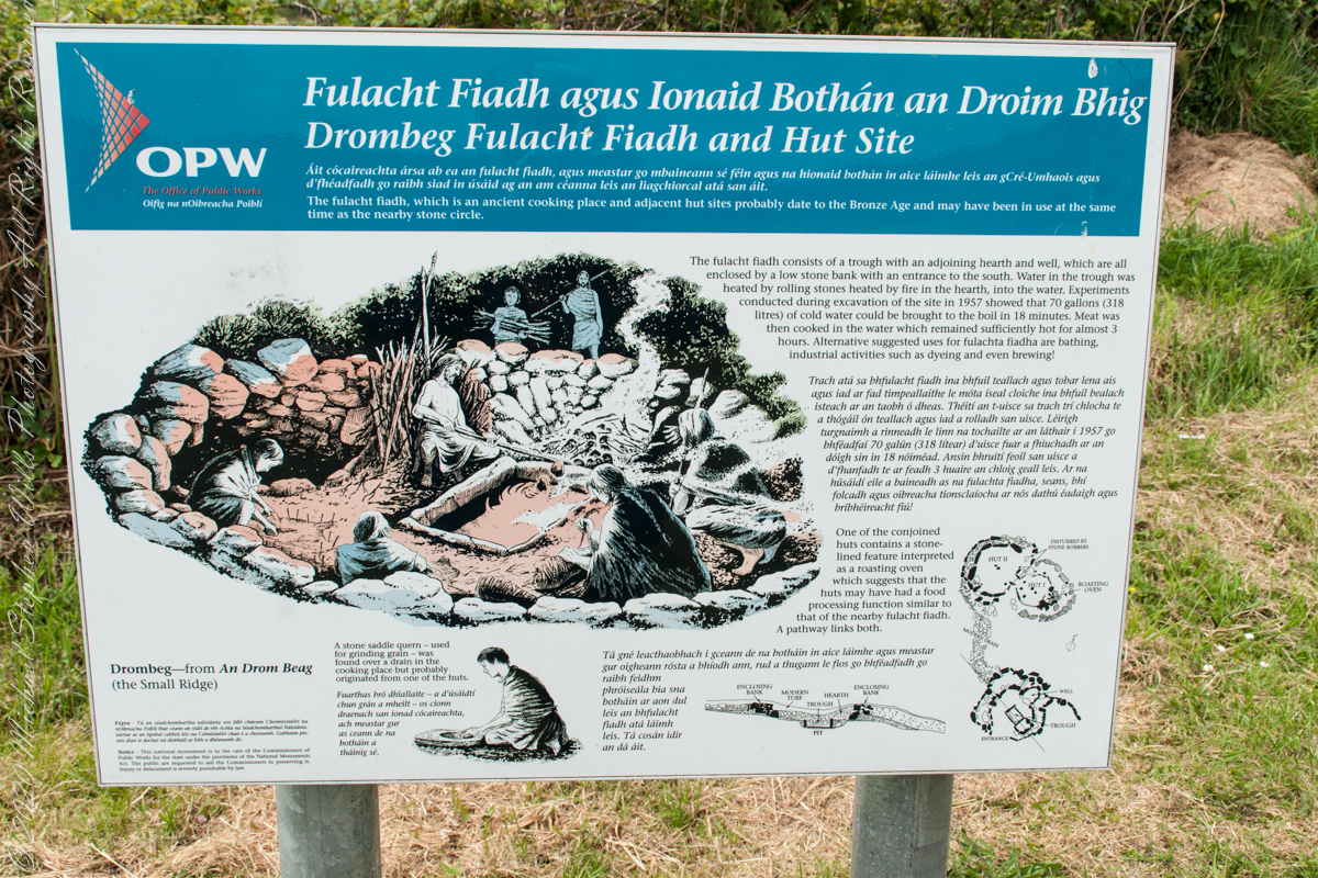
There is a sign to explain…
Trach atá sa bhfulacht fiadh le brutháil teallach agus tobair lena ais agus atá dúnta ag falla cloiche íseal le hiontráil soir. Líonadh an traid trí clocha te a théamh ar theallach agus a n-aistriú isteach sa traid lán le huisce fuar. Léiríodh le turgnamh a rinneadh le linn na tochailte ar an áit i 1957 gur féidir 70 galún (318 lítear) d’uisce fuar a thabhairt chun boil in 18 nóiméad. Ansin bhíodh feoil ann is a cócaireacht. Maireann an t-uisce seo te ar feadh 3 n-uaire an chloig. Cuirtear úsáidí eile sa bhfulacht fia ar aghaidh, mar shampla folcadáin, ceardaíocht amhail ruaimniú agus grúdaireacht.
In modern Ireland the word fulacht means barbeque and the archeological sites with characteristics in common, such as a water source, health and pit, are named “Fulacht fiadh,” derived from Old Irish sources. In all cases the link is to some kind of preparation activity involving heat and moisture. Found throughout Ireland, Great Britan and the Isle of Man where the sites are called burnt mounds. The Drombeg Fulacht fiadh exemplifies all characterists. There is a horseshoe shaped rock walled/banked, now a remnant, enclosure, entrance to the south. In the middle is a pit, at Drombeg lined with rock, a spring on one side, a hearth on the other. A stone saddle quern, used for grinding grain, was nearby Adjacent huts, rock walls with post holes, do not suggest a settlement, but rather a temporary use.
View of entrance to the south from above the spring, visible is the rock lines cooking pit filled with ground water.
In my last Pinelands post, “cedar water” was featured. This post is a exploration of the “cedar” in “cedar water.”
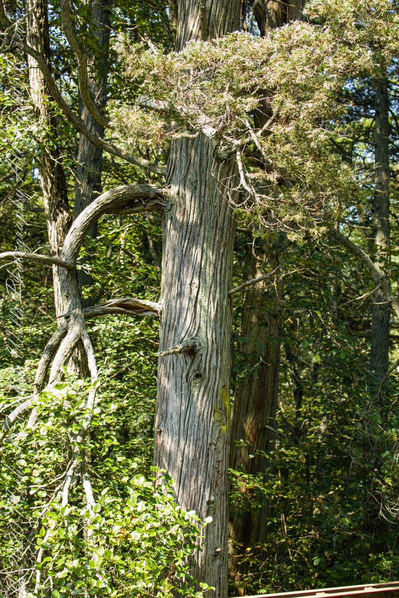
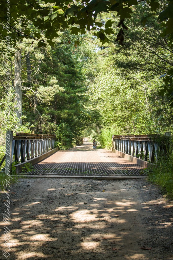
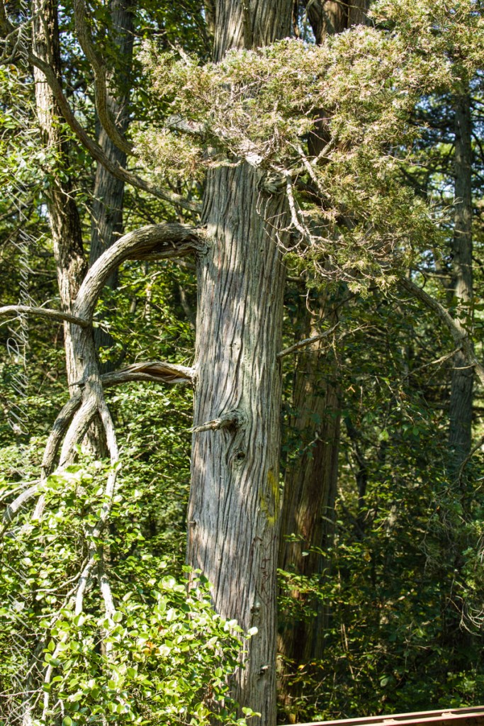
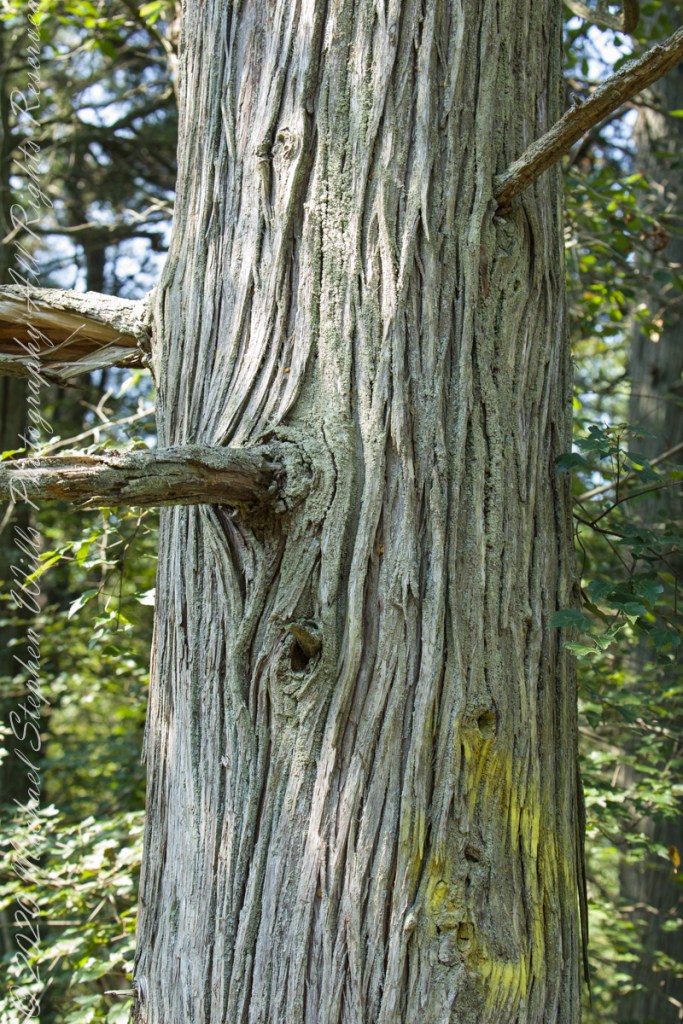
White Cedar, also known as Swamp Cedar, is a water loving tree seen here to the right of Quaker Brider, Wharton State Forest.
Click pic for larger view in a new browser tab. If you are in WordPress Reader, open the post to use this feature.
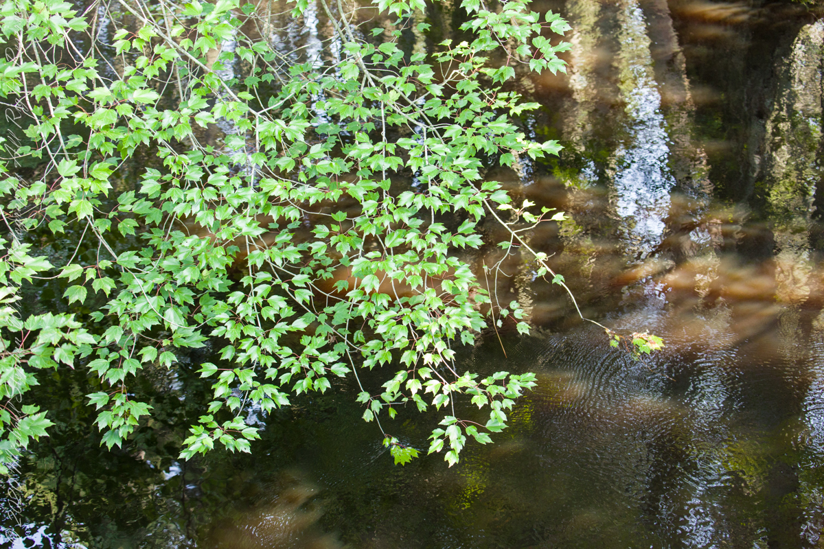
“Cedar water” is the dark, tea like, flow of Pinelands rivers colored by vegetable tannins.
White Cedar thrives along Pinelands waterways, lending color to the “cedar water.” 18th Century sea captains favored cedar water for long voyages, famours for staying fresh far longer than other waters. Also known as arborvite, “tree of life”, for the medicinal properties of the bark, well known throughout Native America.
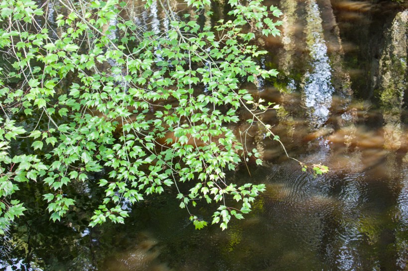
Known for flat sprays of scaley leaves
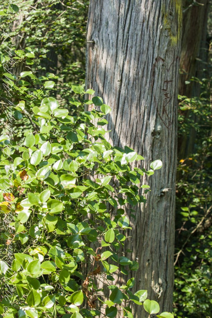
The Pinelands are under siege from attacks much worse than this defacement
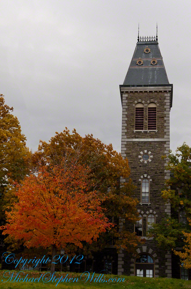
Libe Slope is between the West Campus and Quadrangle / Libraries.
Click to view my Finger Lakes Memory gallery
Cornell University is on a west-facing hill above Cayuga lake.
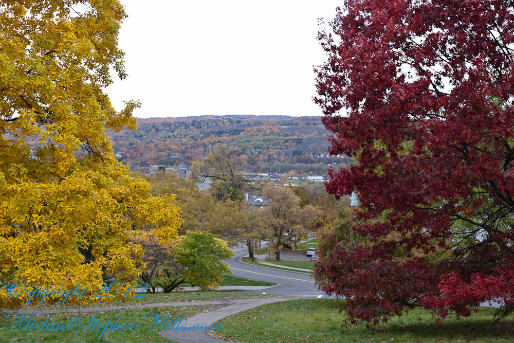
Besides the exercise of walking the 18 degree incline several times each day, Cornell students and alumni remember The Slope for autumn color.
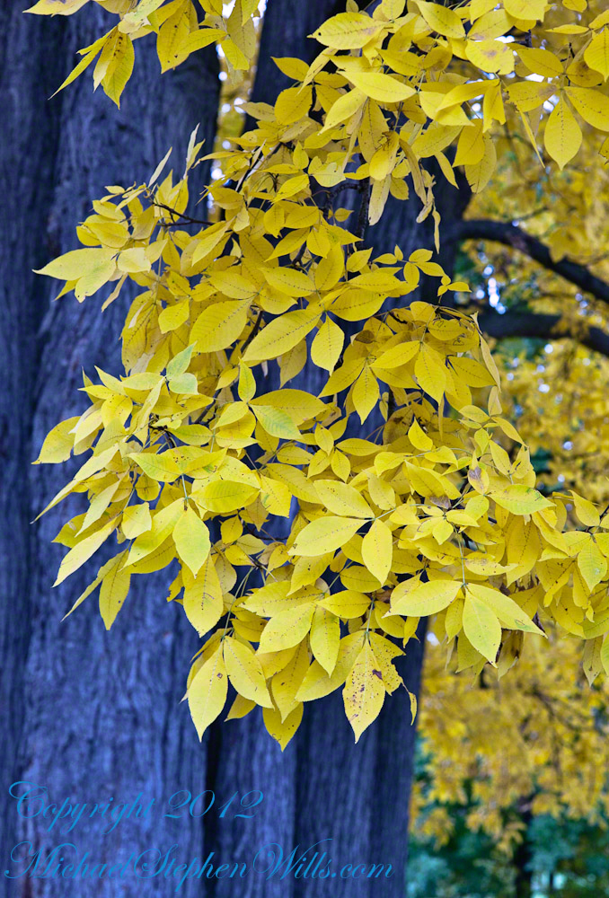
Wonderful Flow of Limbs among Gold
Click to view my Finger Lakes Memory gallery
Hickory
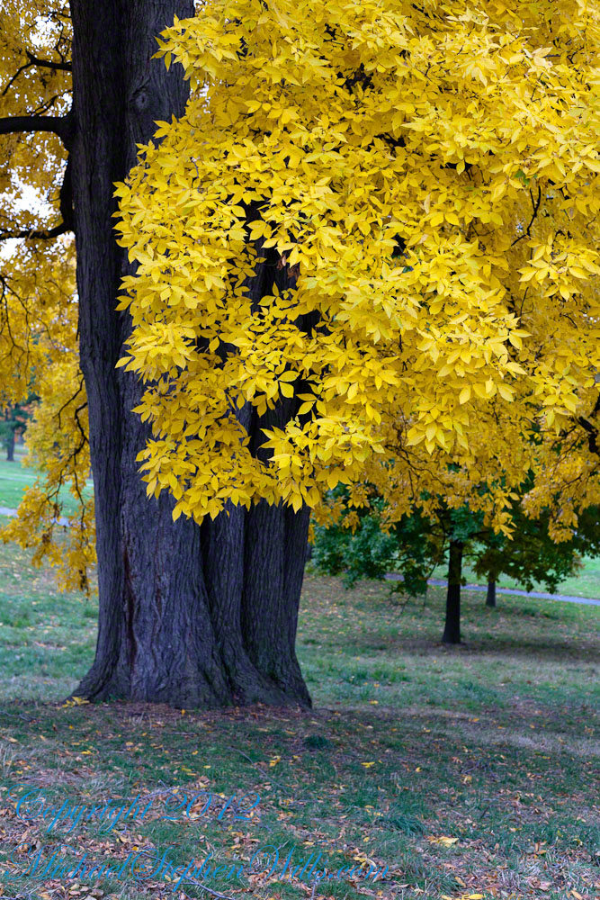
Seen from the north on a cloudy October day, this Pignut Hickory (Carya glabra) is the largest tree on the Cornell Campus, at 79 inches in diameter.
Click to view my Finger Lakes Memory gallery
Cornell University is on a west-facing hill above Cayuga lake.
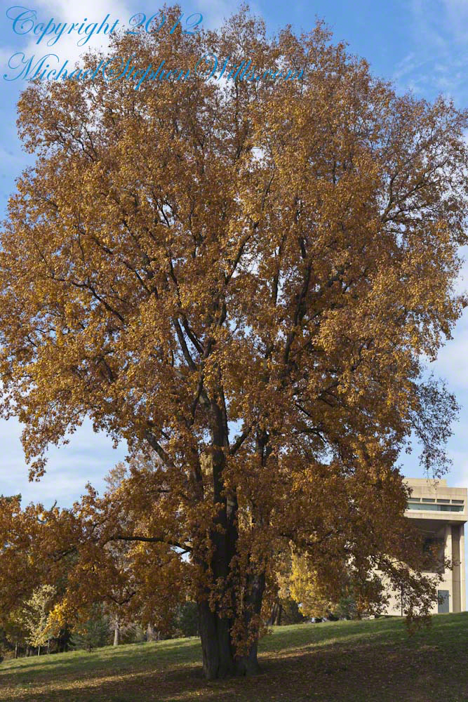
Take another look at the previous image. Can you find the grey squirrel? This hickory grows south of the Johnson Museum and among the autumn glories, it is the largest and brightest yellow canopy on Libe Slope.
Contrast
An overcast day is the best to capture this spectacle. October 20, 2012 provided both bright sun and dark, rolling autumn clouds. I waited on the north side, sheltered from the glare of the sky, for these perfect moments.
Click to view my Finger Lakes Memory gallery
I remember this hickory for the contrast between the canopy and trunk, the way the clumps of yellow hang from dark boughs.
The pignut hickory is native to these Eastern United States. It is known to favor moist slopes and this specimen has thrived on The Slope. The ground beneath it is thick with nuts.
Click to view my Finger Lakes Memory gallery
One week later
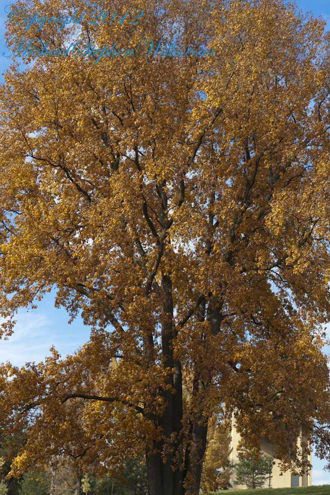
Just one week later, late afternoon on a sunny Friday as hurricane Sandy approached the east coast the hickory has fewer, tawny golden leaves.
Copyright 2021 Michael Stephen Wills All Rights Reserved