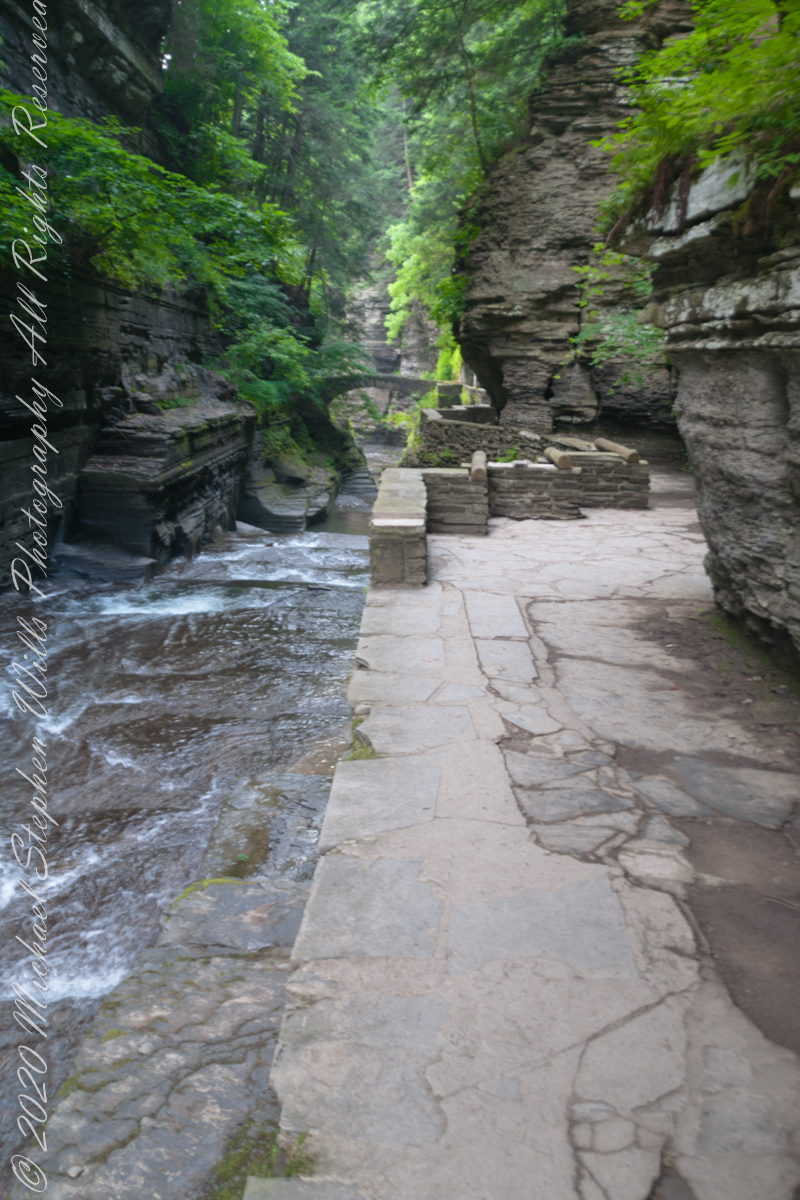
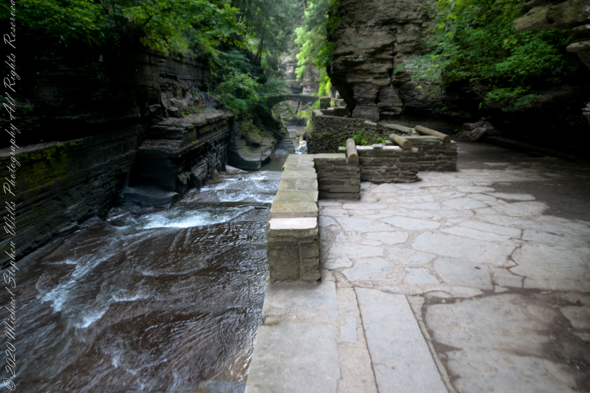
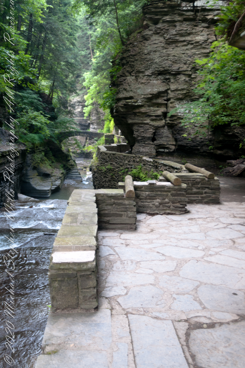
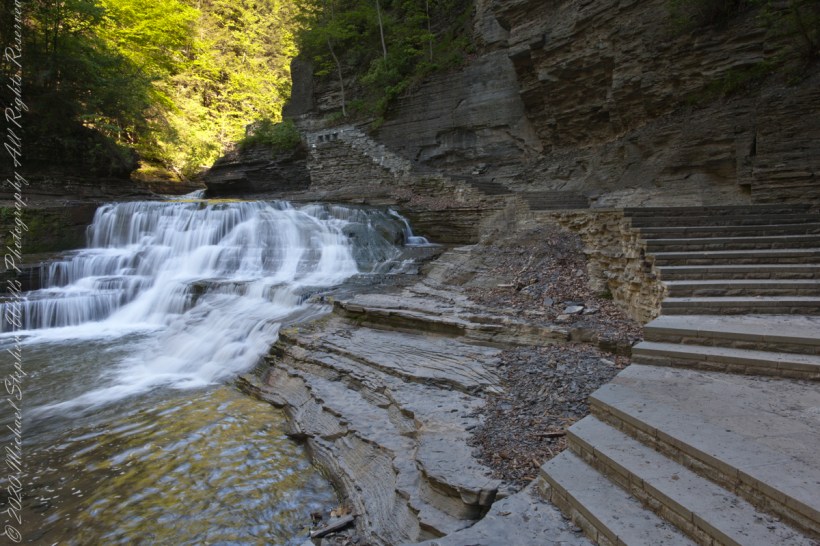
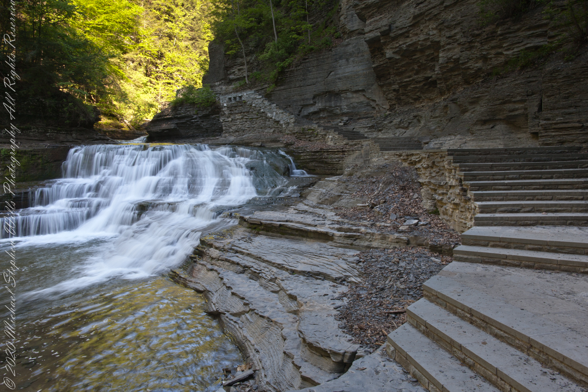
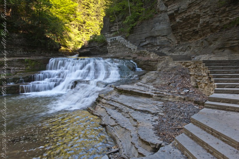
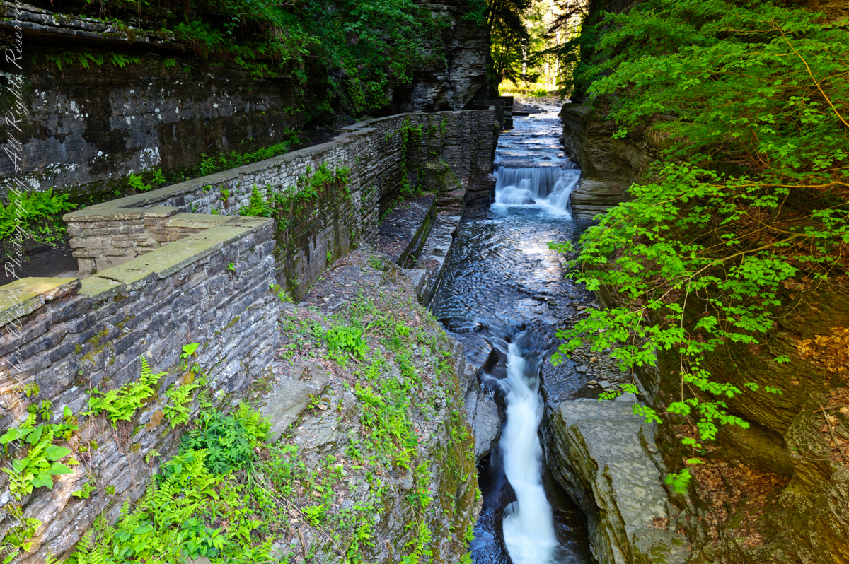
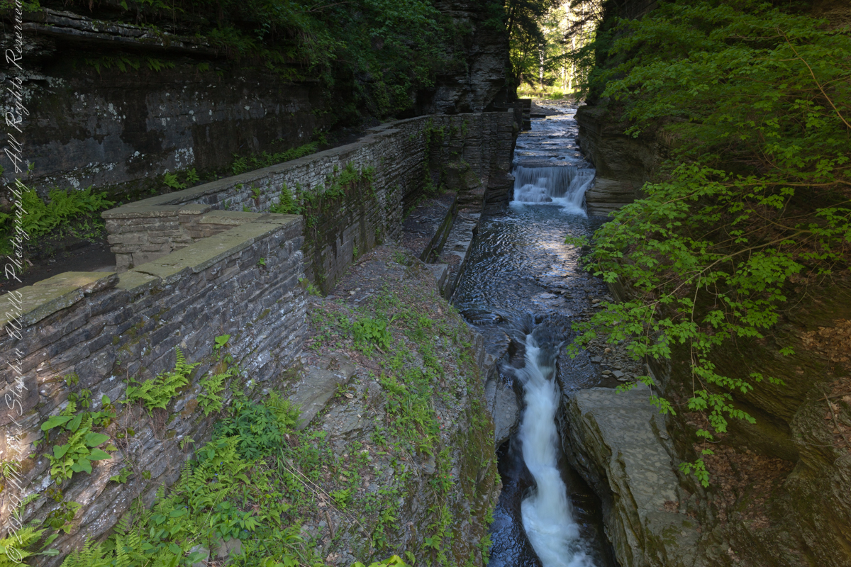
View shared by generations of newlyweds standing on a stone bridge across Enfield Creek. This is another version, taken a few years later and earlier in the season, Memorial Day morning.
Here, I have taken the lessons learned from the last post: to run from the Raw file, open it in Photoshop, make Raw dialog adjustments conversed in an .XMP file written by Photoshop. Export from Lightroom using these adjustments.
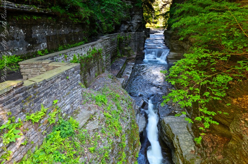
We are looking back on the place where Treman Gorge Trail from the Old Mill enters a narrow gallery looking here northwest along Enfield Creek.
It is 8:30 am on a Memorial Daty morning Robert H. Treman Park, Ithaca, Tompkins County, Ithaca, New York,
Copyright 2023 All Rights Reserved Michael Stephen Wills
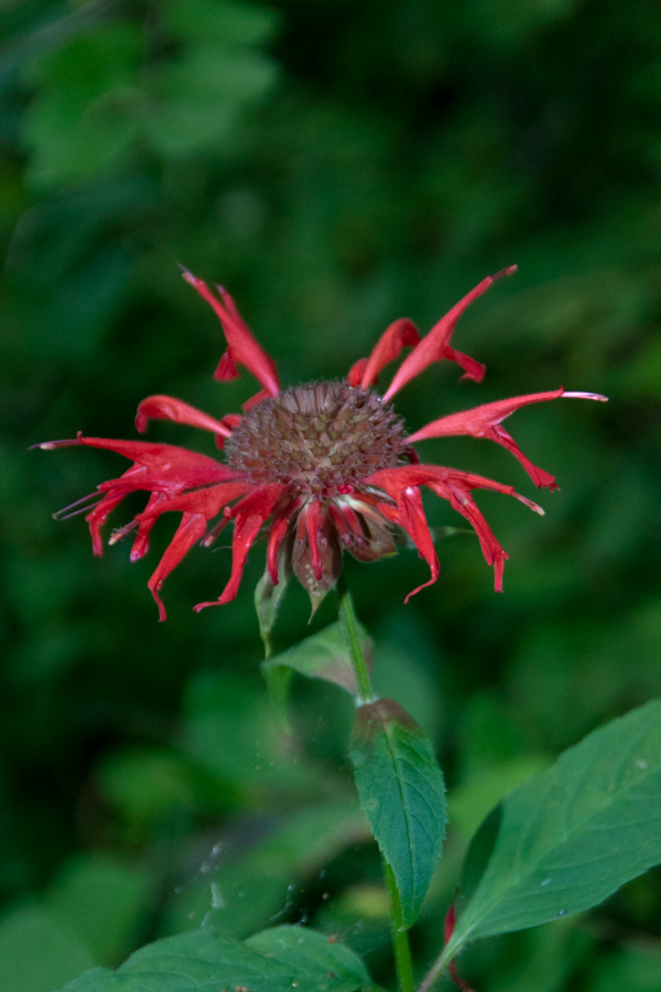
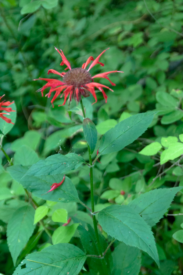
Monarda didyma is also known as crimson beebalm, scarlet beebalm, scarlet monarda, Eau-de-Cologne plant, Oswego tea, or bergamot. A wildflower native to the Finger Lakes, Crimson beebalm is extensively grown as an ornamental plant, both within and outside its native range; it is naturalized further west in the United States and also in parts of Europe and Asia.
It grows best in full sun, but tolerates light shade and thrives in any moist, but well-drained soil. As suggested by membership in the Lamiaceae (mint) family, Beebalm, as an aromatic herb, has a long history of use as a medicinal plant by many Native Americans, including the Blackfoot. The Blackfoot people recognized this plant’s strong antiseptic action and used poultices of the plant for skin infections and minor wounds.
An herbal tea made from the plant was also used to treat mouth and throat infections caused by dental caries and gingivitis. Beebalm is a natural source of the antiseptic thymol, the primary active ingredient in modern commercial mouthwash formulas. The Winnebago used an herbal tea made from beebalm as a general stimulant. It was also used as a carminative herb by Native Americans to treat excessive flatulence. As a matter of local interest, Iroquois of Oswego, New York, made the leaves into a tea, giving the plant one of its common names.
It is 9:30 am on a July morning Robert H. Treman Park, Ithaca, Tompkins County, Ithaca, New York,
References
Wikipedia, “Monarda didyma”
“The Botanical Garden, Vol II” Roger Phillips and Martyn Rix, Firefly Books, 2002. Page 284
Copyright 2023 All Rights Reserved Michael Stephen Wills
Late Winter, on the cusp of Spring, I arrived at the Cornell Experimental farm before sunrise.
There I set up a Kodak DSC Pro SLR/c with a Canon EF 50 mm f/1.4 USM lens all mounted on a very stable Manfrotto Studio Aluminum Tripod Model 475 and Hydrostatic Ball Head. From this 15 exposures were obtained. Photoshop CS6 HDR combined the 15 into this perfected image. Cornell Thompson Experimental Farm, Town of Dryden, Tompkins County, New York
Copyright 2023 All Rights Reserved Michael Stephen Wills
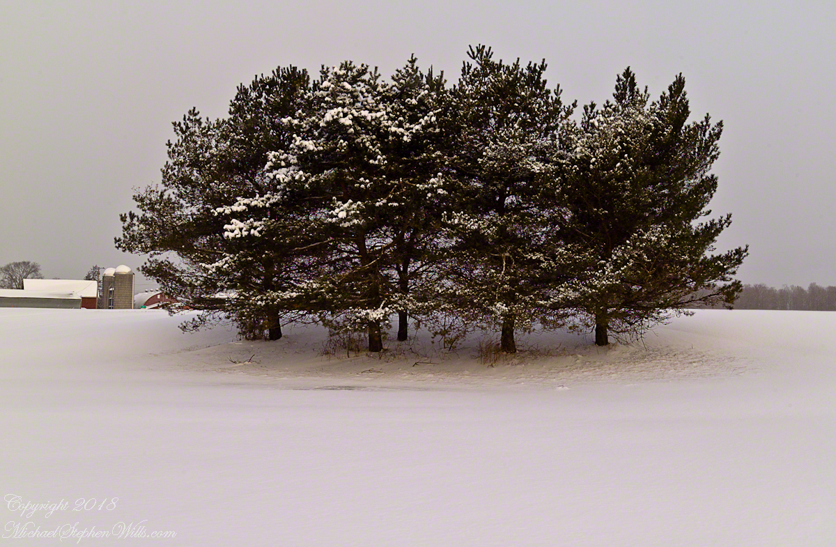
On a late winter morning on the cusp of Spring 2007 I ventured from my home on Fall Creek on a photo expedition.
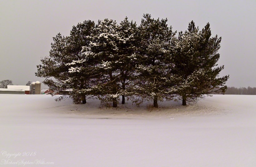
Form here is revealed through the fine snowfall dusting the evergreen boughs of this stand of pines, not enough to stop the wind for which is tract of the Cornell Thompson Research Farm is known.
Copyright 2023 All Rights Reserved Michael Stephen Wills
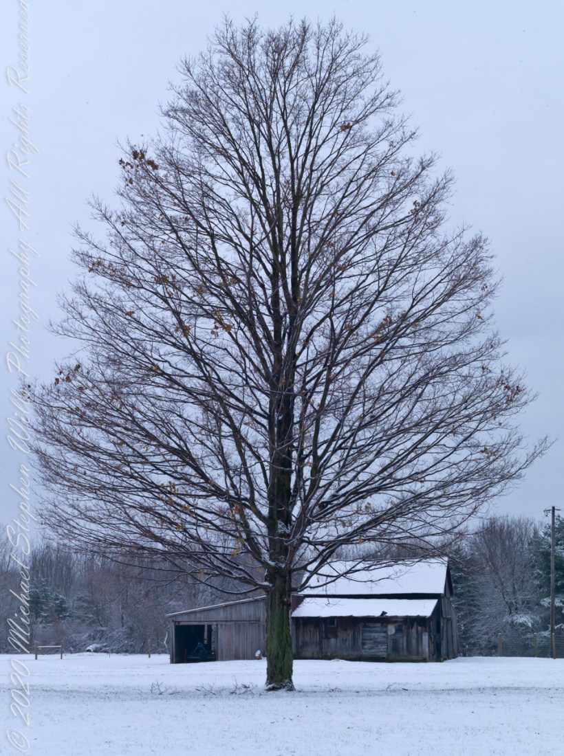
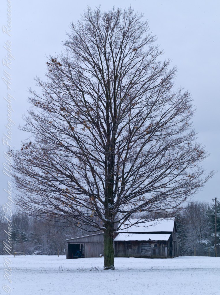
On the first day of 2006 I ventured from my home on Fall Creek on a photo expedition.
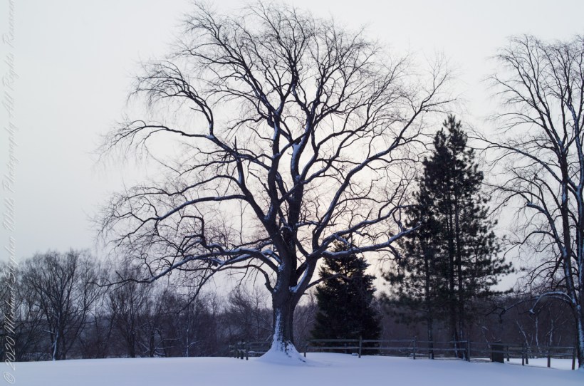
A finely shaped maple tree growing alone on a Cornell Experimental Farm field at the intersection of Fall Creek Road and Cady Lane, between Fall and Mud Creeks. Town of Dryden, Tompkins County, New York
Copyright 2023 All Rights Reserved Michael Stephen Wills
On the first day of 2006 I ventured from my home on Fall Creek on a photo expedition.
Each November, the eerie form of these limbs are revealed. I call the tree an “elm” though I am not certain. There are other lone survivor elms nearby, the leaves are right for an elm. Some elm species/specimens have the same shape.
Copyright 2023 All Rights Reserved Michael Stephen Wills
Winter 2020 I posted “Winter People Watching” featuring the Sony F828 and candid street photography.
What I love about this place, a unique feature, is the size and different vantage points making it possible to view the same place from different angles. November 2019, readers were shown “The Bend,” a place with Taughannock gorge makes a 90 degree turn, changing from a southeastern to an eastern flow. Here are photographs from spot overlooked by that post.
Here the camera faces away from the sun, the graduated neutral density filter allowing me to capture the cloudless blue sky, a little milky the way it is here February with a hint of spring.
The gorge makes a 90 degree turn, changing from a southeastern to an eastern flow. Here is am in the creek bed facing east.
This little one is studying the information placard with rapt attention, learning how the African continent, pushing against North America, across the eaons, formed the right angle fractures mirrored by this dramatic change in Taughannock Gorge. For the Big Bend photographs I was standing behind them, along the stream bed.
Here is a broader slice of that sky.
The gorge makes a 90 degree turn, changing from a southeastern to an eastern flow. Here is am in the creek bed facing east.
Can you see the tiny figures of hikers, dwarfed by the frozen cliff?
The gorge makes a 90 degree turn, changing from a southeastern to an eastern flow. Here is am in the creek bed facing east.
Copyright 2023 All Rights Reserved Michael Stephen Wills
Purling of the water beneath this foot high waterfall was enhanced by reducing ISO to 100, tamping down the aperture to f/22 resulting in an shutter speed of 1/10th second. I set the graduated Neutral Density filter to shade the left side.
On the cliffs ahead is where the observation platform is cut into the rock. It has a great view of the waterfall, in some ways the experience of the falls is enhanced, compared to hiking the 3/4 mile path and standing below.
The Gorge Walls, hundreds of feet above the creek are very dangerous to stand below.
A marvelous forest grows on talus from the high gorge walls.
A sign on a disused pier warns waders to leave the creek bed. Ahead the gorge walls tower above the creek. Rocks dislodge and crash down unexpectedly, crushing foolish waders. It is appalling to see, in warmer months, people walking below those cliffs gathering the fallen rocks to make delicately balanced cairns.
Copyright 2023 All Rights Reserved Michael Stephen Wills
We continued down the half mile “Sallyport” footpath, marked in red on the Google Earth view provided at the end of this post, along shoreline cliffs to find these croppings of Sea Pink on jagged rocks.
Oddly, the jags being perfect places for Sea Pink to perch. Scientific name, Armeria maritima, and also known by Thrift or Sea Thrift, a reason these evergreen perennials are found on the obverse of the British Three Pence coin issued 1937 – 1952. Thrifty can mean to buy a lot for a little money — three pence is very little money.
Click any pic for a larger view, in a new tab, or a slide show. When using WordPress Reader, you need to open the post first.
Another sign informing hikers of the view.
DeclivitySea SmoothedSmoothed over time by wave actionA half mile footpath, marked in red, leads from Charles fort along the shoreline cliffs, surmounted by working farmland.
Reference
“Armeria maritima” – wikipedia
Copyright 2023 Michael Stephen Wills All Rights Reserved