Eirk Townland View One

Here we are in Moll’s Gap, also known in the Irish language as Céim an Daimh (meaning, Gap of the Ox)

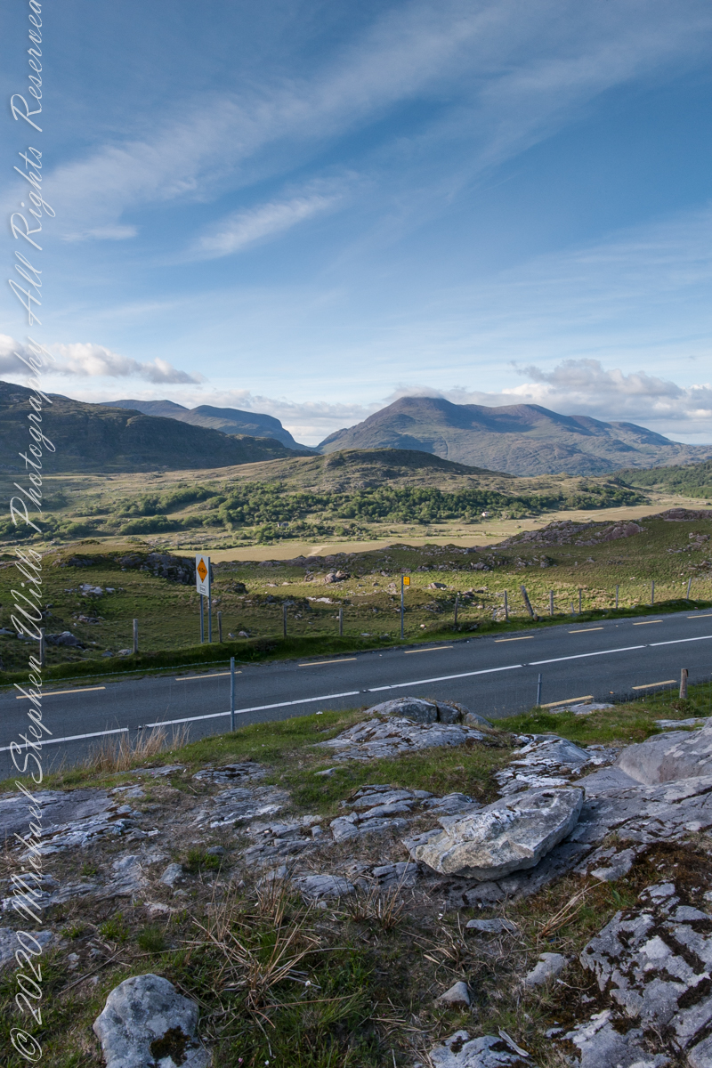
Here we are, on the road from Kenmare to Killarney, N71, part of the Ring of Kerry around the Iveragh Peninsula. The spot is the mountain pass Moll’s Gap, also known in the Irish language as Céim an Daimh (meaning, Gap of the Ox). In the Nineteenth Century a woman named Moll Kissane ran a public house here, operating illegally.

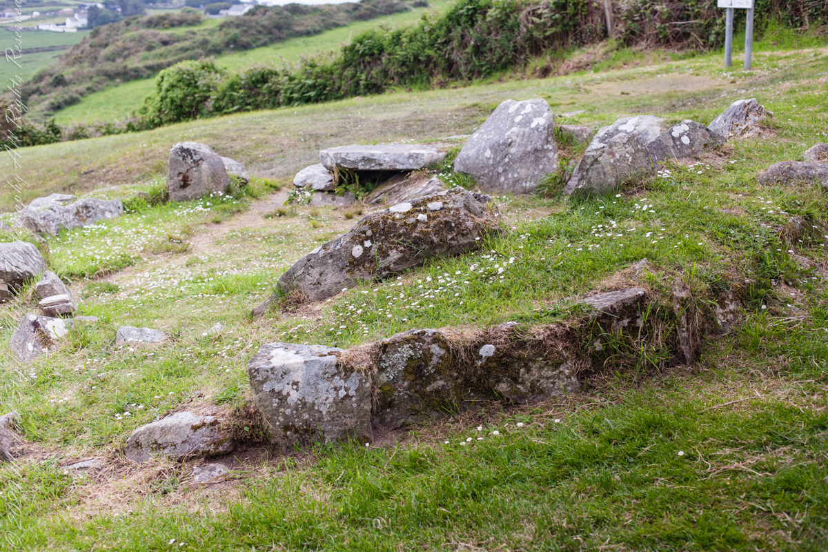
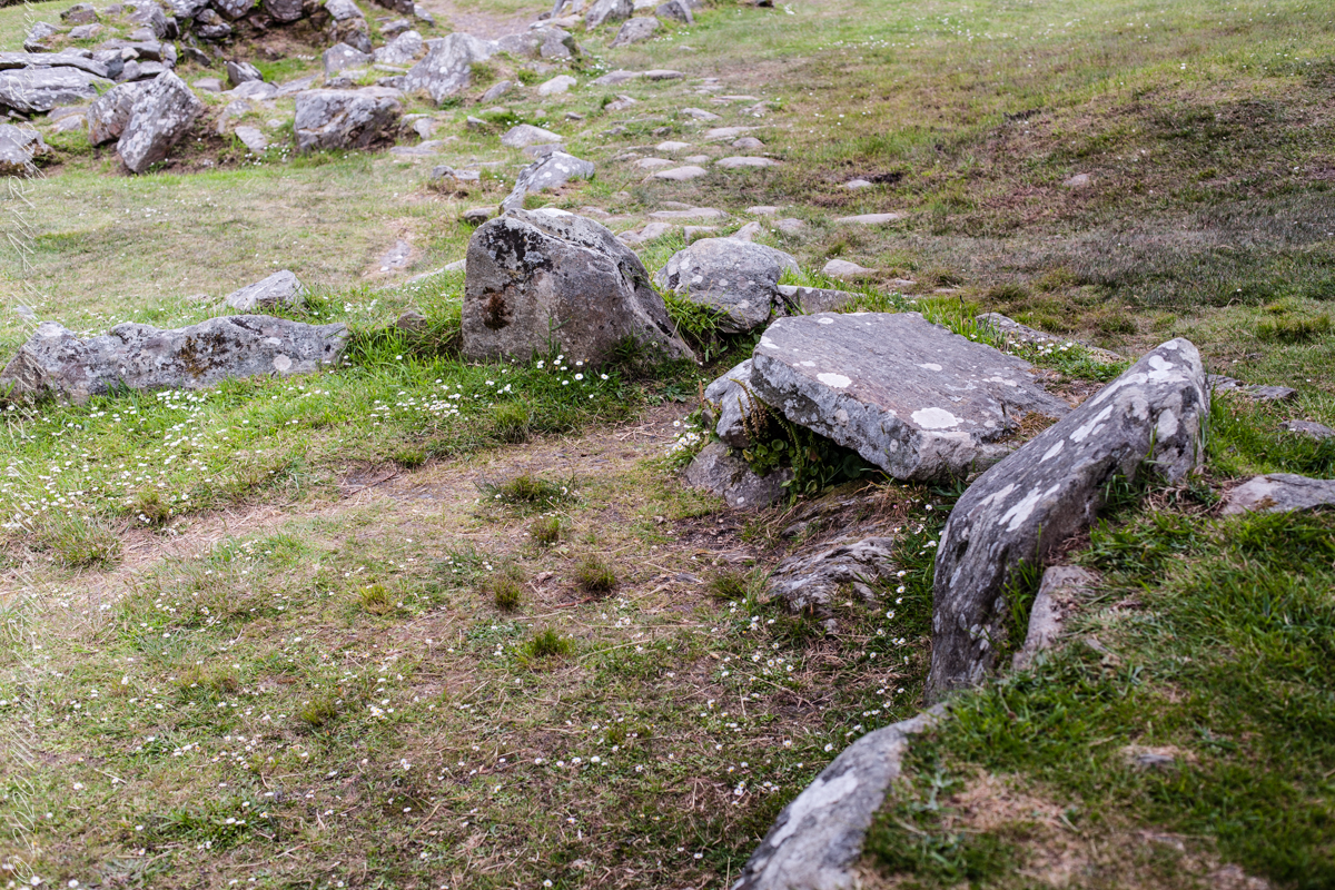
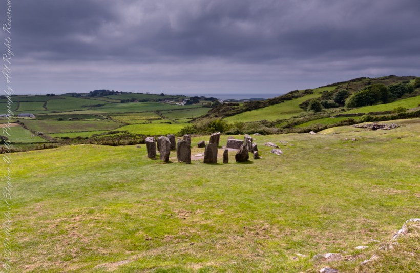
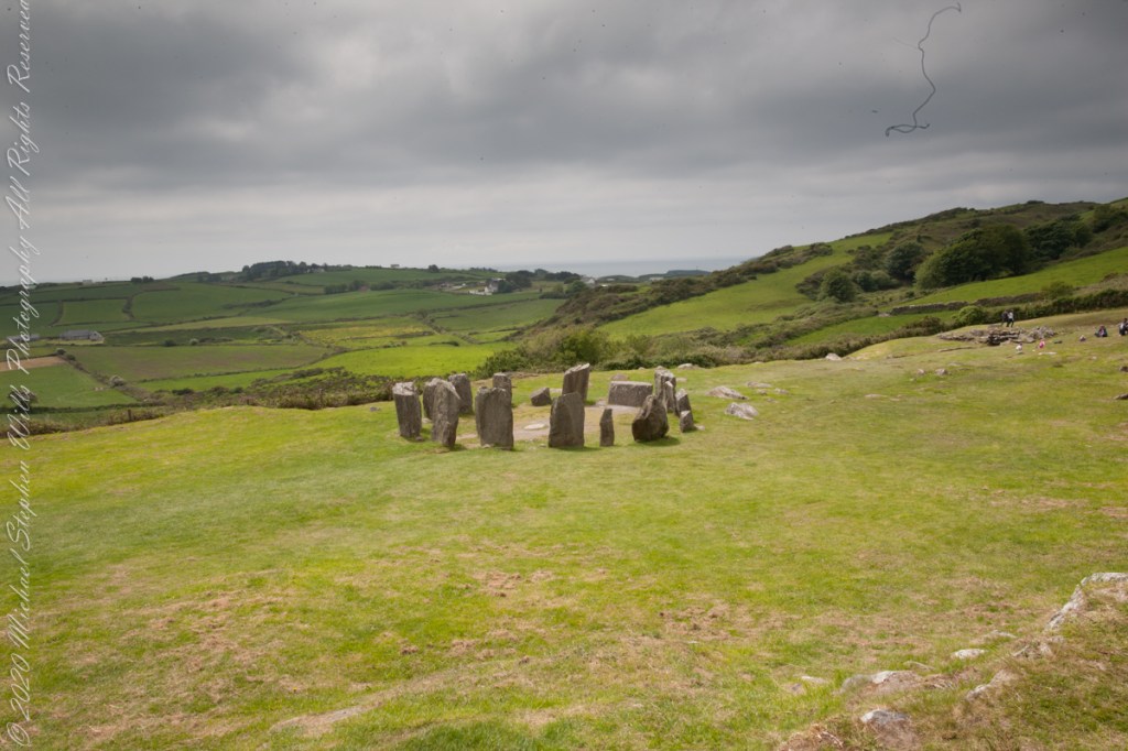
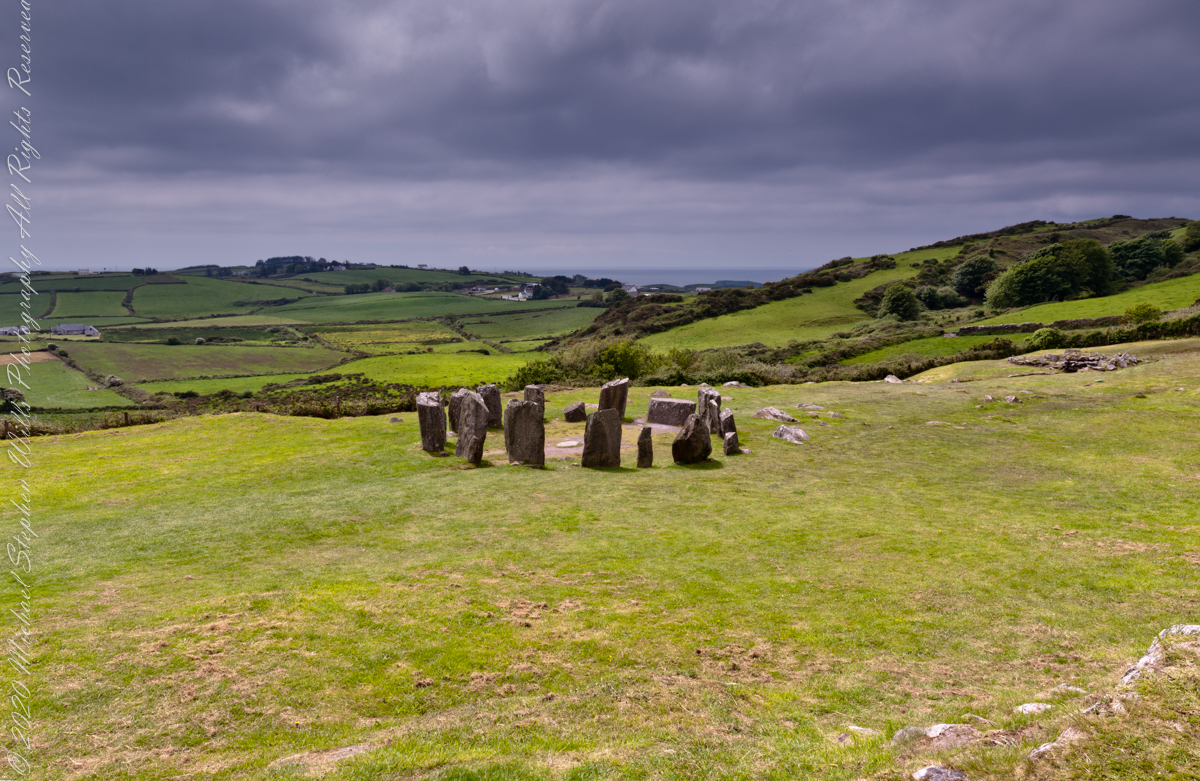
The mountain of this townland, named Eirk (also known as Adhard) , is composed of a fine grained sandstone found in a wide swath from North America’s northeastern coast, Greenland, Ireland, Great Britain — lands formerly part of the same ancient continent.

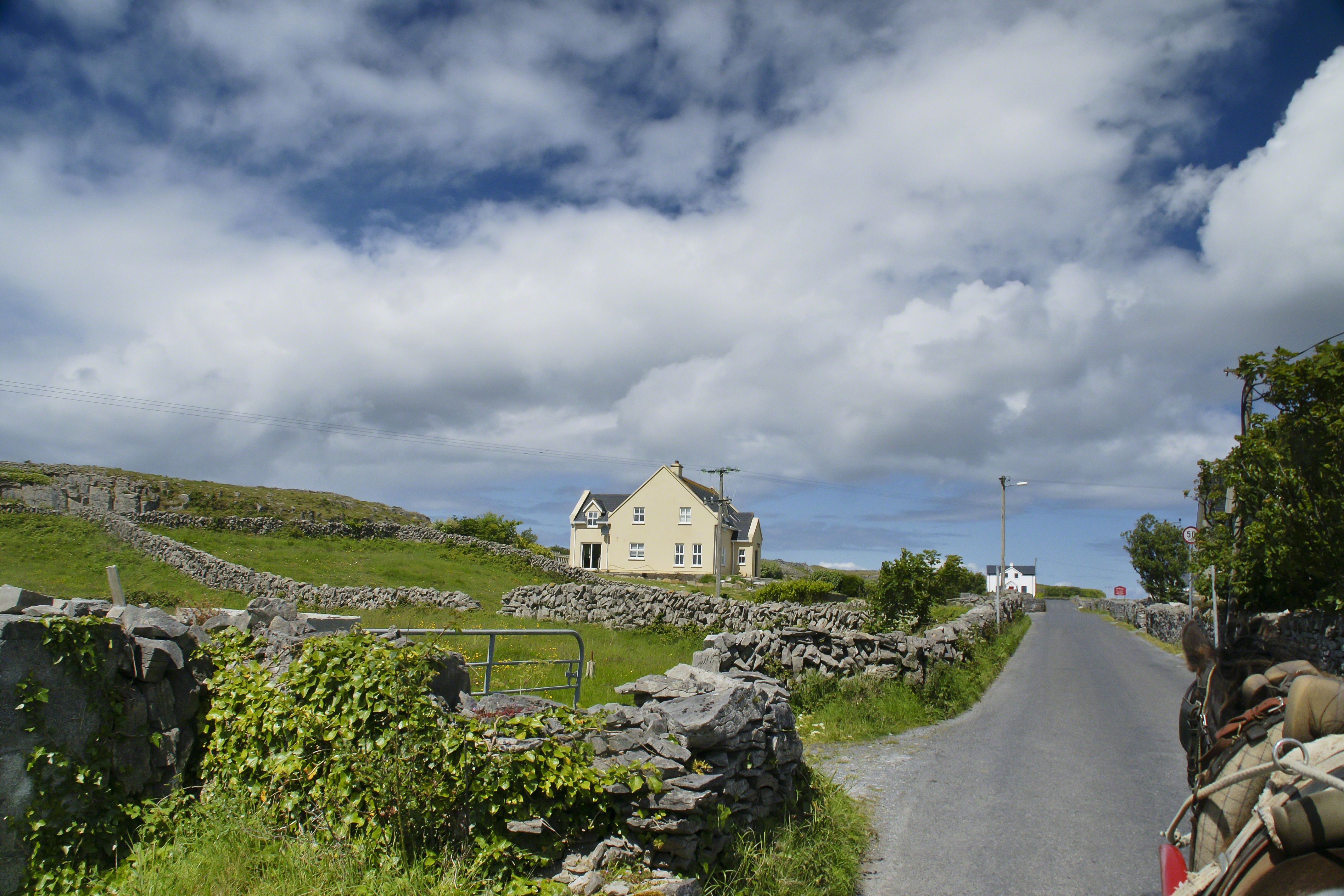
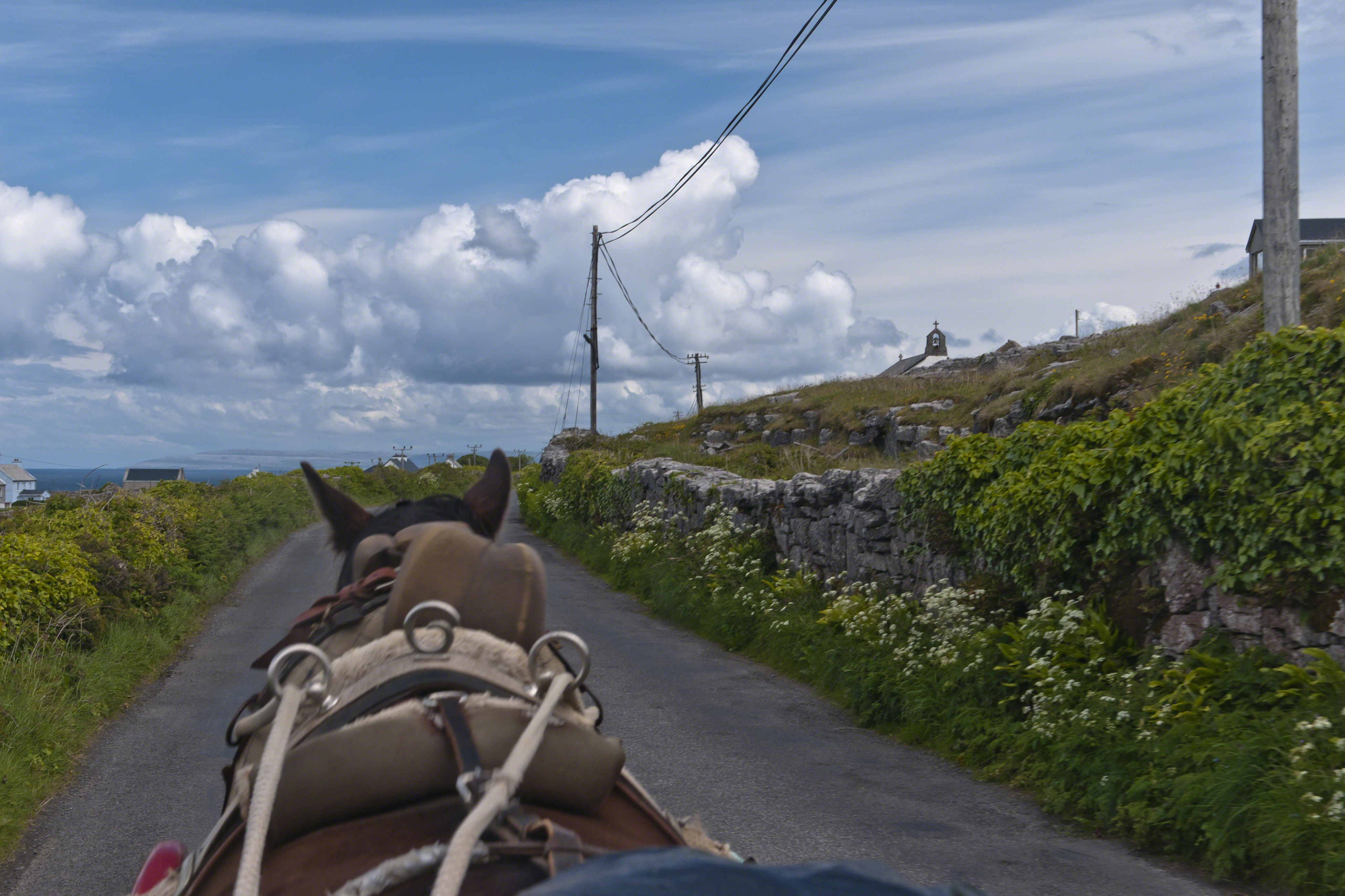
Click pic for larger view in a new browser tab. If you are in WordPress Reader, open the post to use this feature.

Copyright 2021 Michael Stephen Wills All Rights Reserved

Headed Up Cottage Road, Inishmore

View from a horse trap on the Aran Islands, Galway Bay, Ireland

Enjoying travel on a horse trap, a type of carriage, on Inishmore (Inis Mór), the largest Aran Island in Galway Bay we headed up Cottage Road from Kilronan, the main island settlement.  It was there we embarked from the ferry, hired the driver, his horse drawn trap.  Our destination an iron age fort, Dun Aengus (Dún Aonghasa, the Irish language name) and the sights along the way. 

Headed up Cottage Road, I captured this view of dry stone walls and homes against the May sky over the shoulder of our horse.

Click the link for my Getty IStock photography of the Aran Islands
Headed up Cottage Road

Copyright 2019 All Rights Reserved Michael Stephen Wills

Copyright 2021 Michael Stephen Wills All Rights Reserved

Horse Trap on Inishmore

Travel at its best

Enjoying travel on a horse trap, a type of carriage, on Inishmore (Inis Mór), the largest Aran Island in Galway Bay.

Click the link for my Getty IStock photography of the Aran Islands
View from Horse Drawn Trap on Cottage Road headed into Kilronan

Copyright 2019 All Rights Reserved Michael Stephen Wills

Galway Bay View from Dún Aonghasa

a season of wildflowers across a karst landscape

Another aspect of the gradual 1/2 mile inclined path to the central ring of the prehistoric Dun Aonghasa ruins of County Galway, Ireland.

The view north, northwest from this way to Dun Aonghasa (Dun Aengus).  In early June, looking across wildflowers, karst landscape, walled fields, farms, the North Atlantic Ocean, coast of Connemara and the 12 Bens (12 Pins) mountains. 

Note the doorway (with long lintel) in the surrounding wall, to left of center in middle distance.

Click the photograph for a larger view.

Click the link for my Getty IStock photography of the Aran Islands
Click me for the first post of this series, “Horse Trap on Inishmore.”

References: search wikipedia “Dún Aonghasa.”

Copyright 2021 Michael Stephen Wills All Rights Reserved

The Fulacht Fiadh: Insights from Drombeg’s Huts

Two Huts and a Hearth

Drombeg has two huts adjoining the Fulacht Fiadh with a connecting path.

Click pic for a larger view, in a new tab. When using WordPress Reader, you need to open the post first.

Hut B incorporates a rock lined hearth that possibly served as an oven.

Click me for the first post in this series.

Enter your email to receive notification of future postings. I will not sell or share your email address.

Fulacht Fiadh: Ancient Secrets Revealed

Survey of elements

The previous post was an overview the Fulacht Fiadh associated with the Drombeg Stone Ring of County Cork, Republic of Ireland.

In this post, we explore the elements of these fascinating remnants from the late Bronze Age, over 3,000 years ago.

Click pic for a larger view, in a new tab. When using WordPress Reader, you need to open the post first.

It is amazing the rock wall survived human need for the valuable wall stones. Portions were stolen, though for the most part we can see enough to understand.

Click Me for the next post in this series

Enter your email to receive notification of future postings. I will not sell or share your email address.

Drombeg Fulacht Fiadh: Insights into Bronze Age Cooking

Drombeg’s Fulacht Fiadh, a Bronze Age cooking site, used heated stones to boil water for cooking, dyeing, and brewing.

Notice the groupings of visitors in the middle distance of Pam’s photograph, gathered around remains of late Bronze age elements.

Click pic for a larger view, in a new tab. When using WordPress Reader, you need to open the post first.

There is a sign to explain…

In modern Ireland the word fulacht means barbeque and the archeological sites with characteristics in common, such as a water source, health and pit, are named “Fulacht fiadh,” derived from Old Irish sources. In all cases the link is to some kind of preparation activity involving heat and moisture. Found throughout Ireland, Great Britan and the Isle of Man where the sites are called burnt mounds. The Drombeg Fulacht fiadh exemplifies all characterists. There is a horseshoe shaped rock walled/banked, now a remnant, enclosure, entrance to the south. In the middle is a pit, at Drombeg lined with rock, a spring on one side, a hearth on the other. A stone saddle quern, used for grinding grain, was nearby Adjacent huts, rock walls with post holes, do not suggest a settlement, but rather a temporary use.

Click Me for the next post in this series

Enter your email to receive notification of future postings. I will not sell or share your email address.

Drombeg Stone Circle IX

Seventeen Stones

Pam posing with wind blown hair on the rock outcrop I used to achieve site overviews. In medium distance, other visitors gather around another site feature.

Click pic for a larger view, in a new tab. When using WordPress Reader, you need to open the post first.

Click Me for the next post in this series

Copyright 2021 Michael Stephen Wills All Rights Reserved

Drombeg Stone Circle VIII

Seventeen Stones

The photograph shared the last Drombeg posting needed hours of reworking before it was ready for submission to Stock Photography services. Ireland photography is my “money maker”, so the effort is work this.

Today, I share the image as it existed in camera, to the final product. The most detailed work was removing the human figures in the upper right corner. The camera sensor was problematic, with an light accumulation of dust. Below are the two images, each alone and as slideshow for flipping back and forth.

What differences can you observe? (comments, please)

Click any pic for a larger view, in a new tab, or a slide show. When using WordPress Reader, you need to open the post first.

llllll

Click Me for the next post in this series

Copyright 2021 Michael Stephen Wills All Rights Reserved

Drombeg Stone Circle VI

Seventeen Stones

Here is one of my finest photographs from that morning. The ocean view is a reason Drombeg is one of the most popular neolithic sites.

The Celtic Sea is close to this site, unoccupied since 800 BC, may be as old as 1100 BC according to radiocarbon dating from 1957 excavations. Thirteen of the original seventeen stones form a circle 31 feet across. Two portal stones face a recumbent stone, together forming a axis pointing to the sun position at sunrise on the winter solstice. One of the most visited Neolithic sites in Ireland, it required some patience to achieve an image without human figures.

Click any pic for a larger view, in a new tab, or a slide show. When using WordPress Reader, you need to open the post first.

The camera is set on a tripod positioned in front of the recumbent.

Click Me for the next post in this series

Copyright 2021 Michael Stephen Wills All Rights Reserved