Spillway Falls with Hemlock

hemlock grace and water

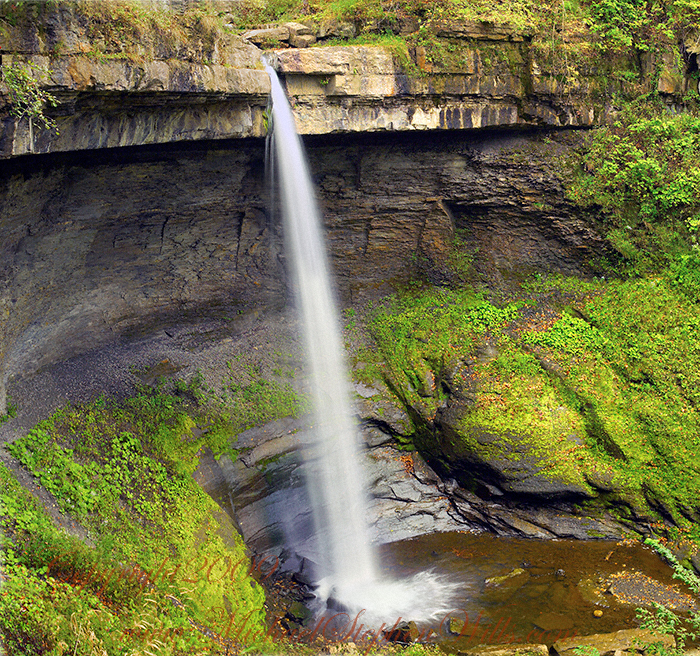
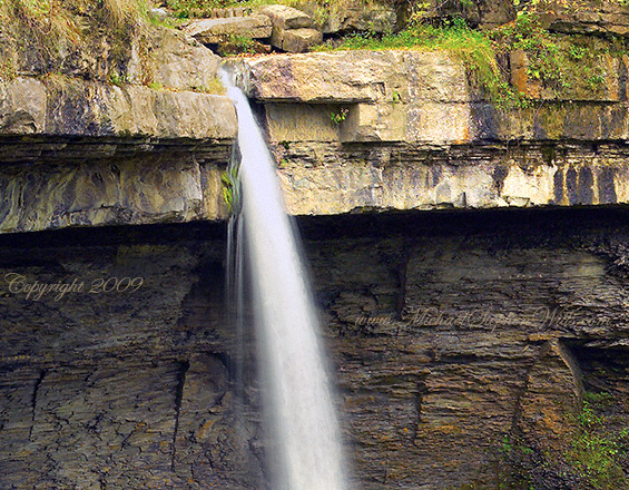
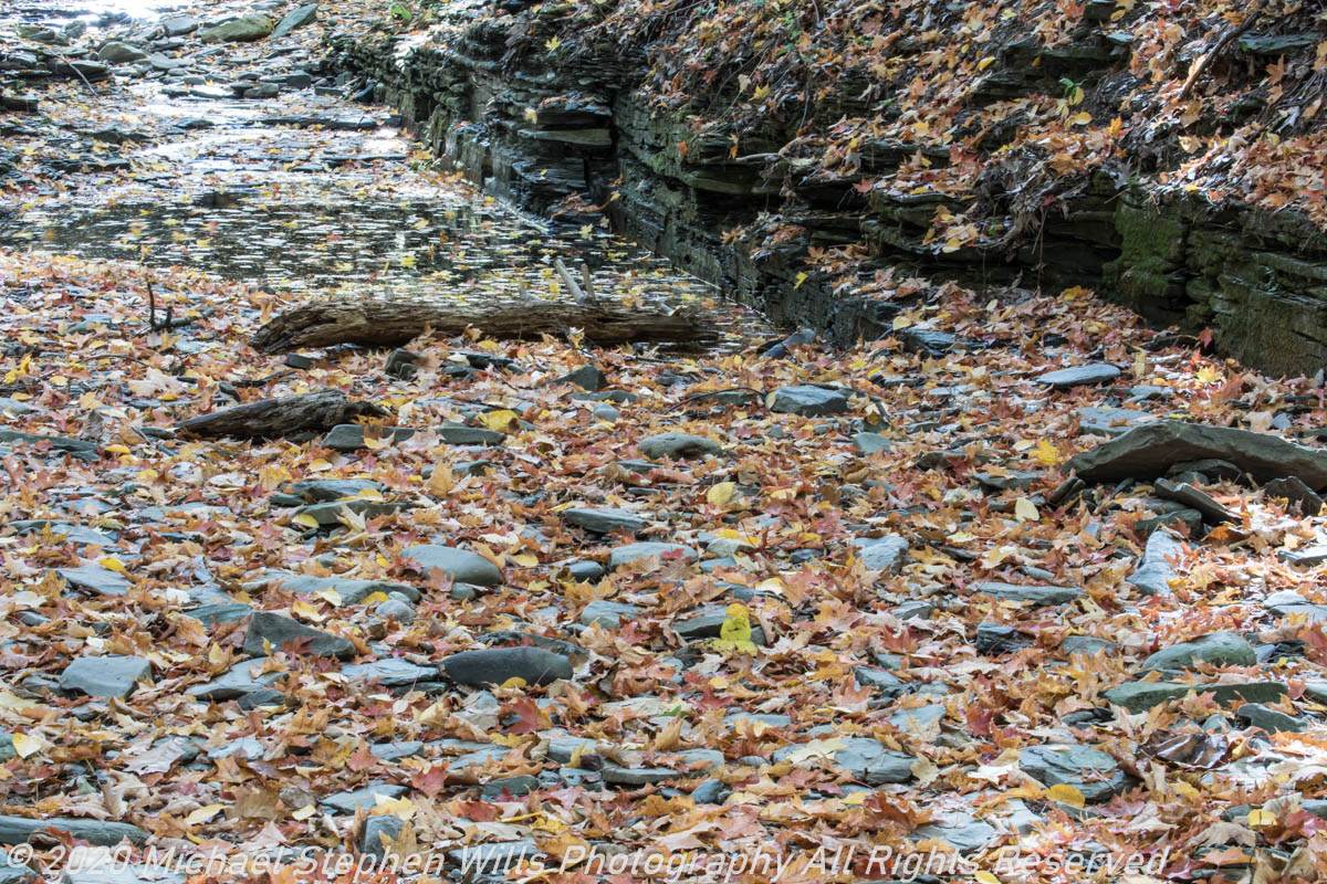
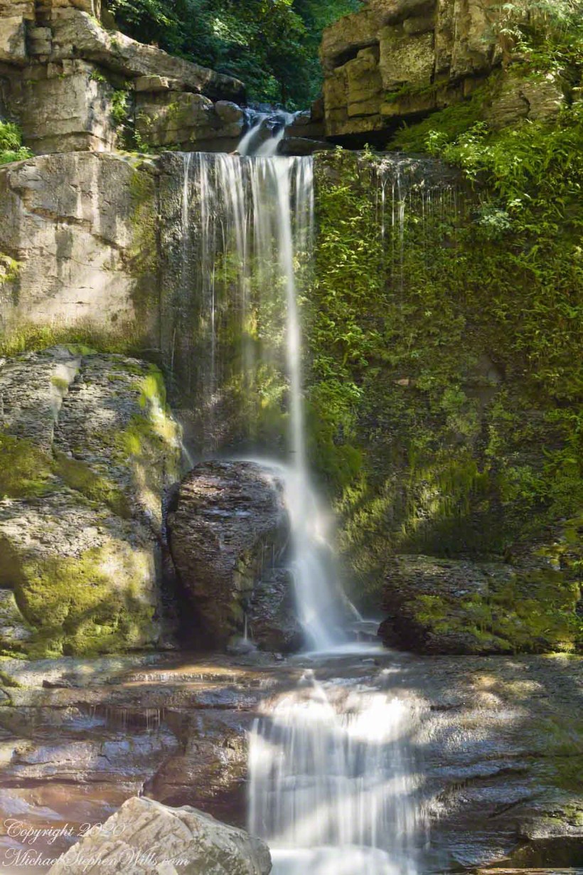
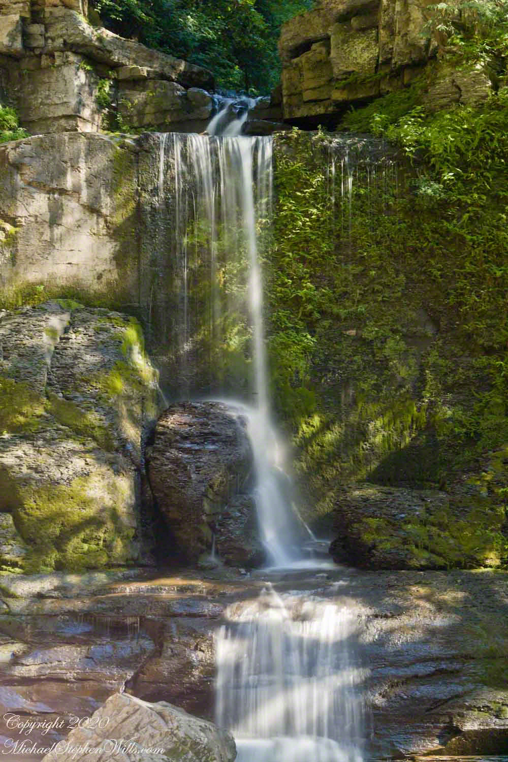
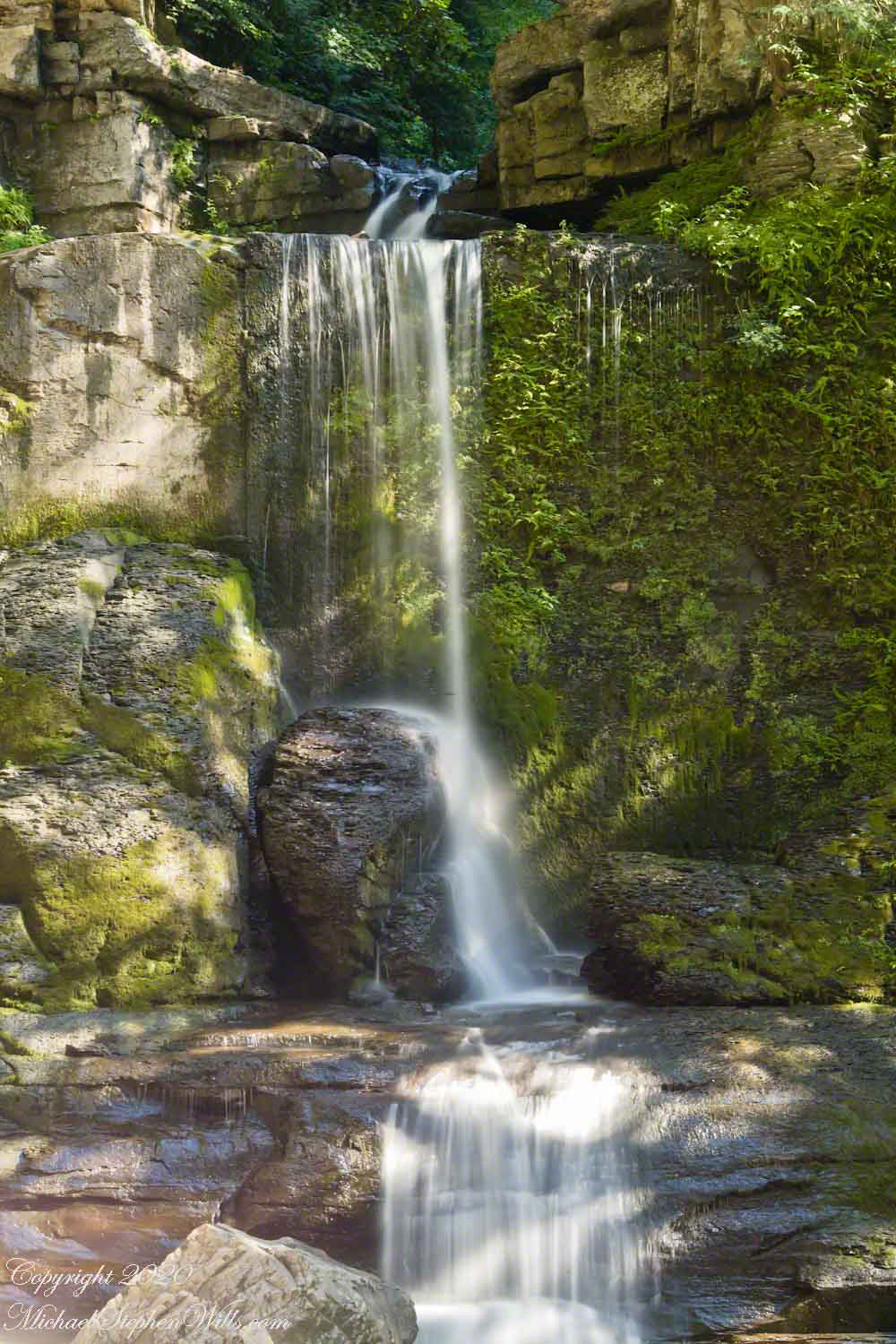
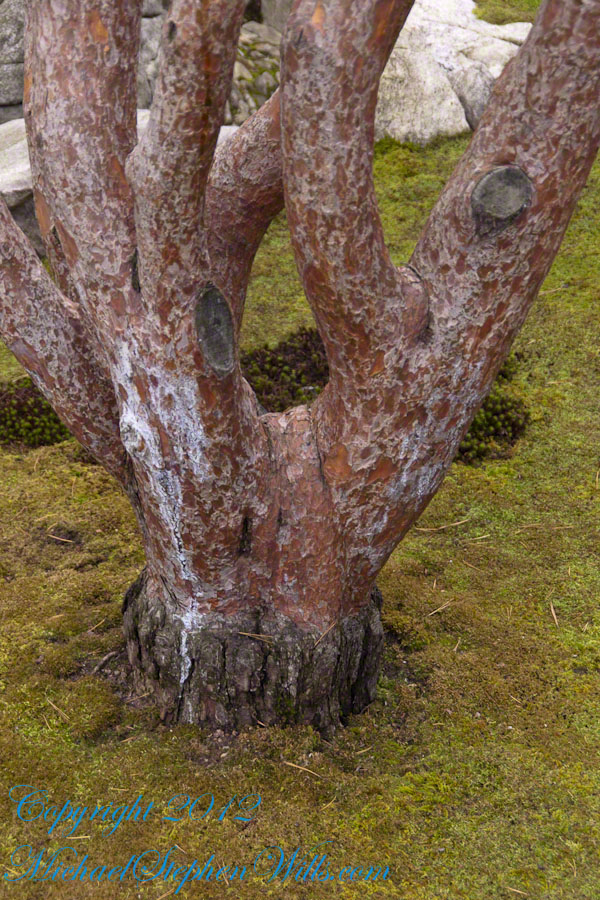
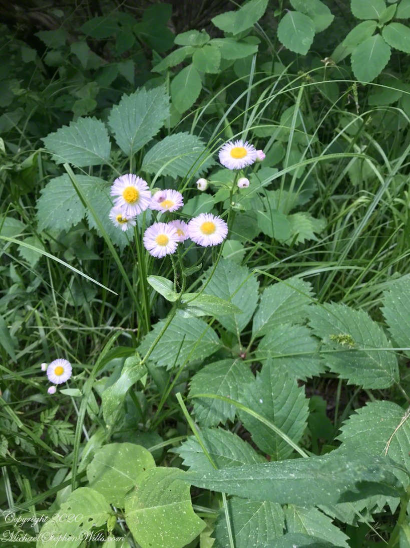
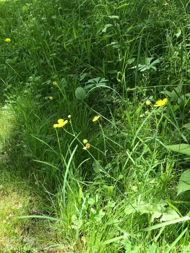
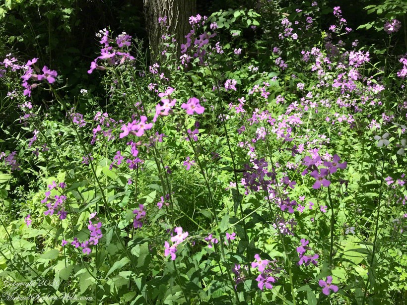
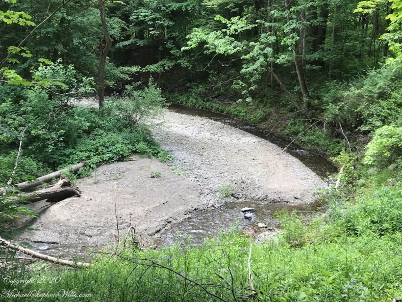
The Dry Creek dam is across the upper, eastern, end of Fillmore Glen. Historical records of the dam construction must exist someplace. My opinion is, somewhere in the federal bureaucracy there is a record proving this dam was constructed by Roosevelt’s Civilian Conservation Corps in the 1930’s. That is when the gorge trails were dramatically improved and it is logical a dam was necessary to control water flow during times of heavy rainfall and the spring thaw, to allow a full appreciation of the gorge beauty. It is a substantial concrete structure with cast iron controls, two spillways: one never, the second always flowing. This day the reservoir is full, frequented by beavers, stocked trout, herons, blue jays, crows, hermit thrush. The reservoir banks are thick with wildflowers of the season. This afternoon I noticed purple flowering raspberries: a past prime bloom or two, ripe fruit growing in the late afternoon shade on the south side of the dam.

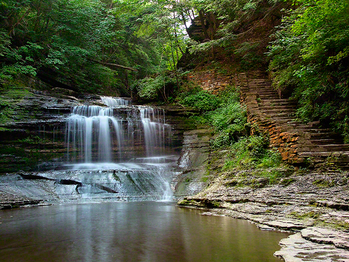
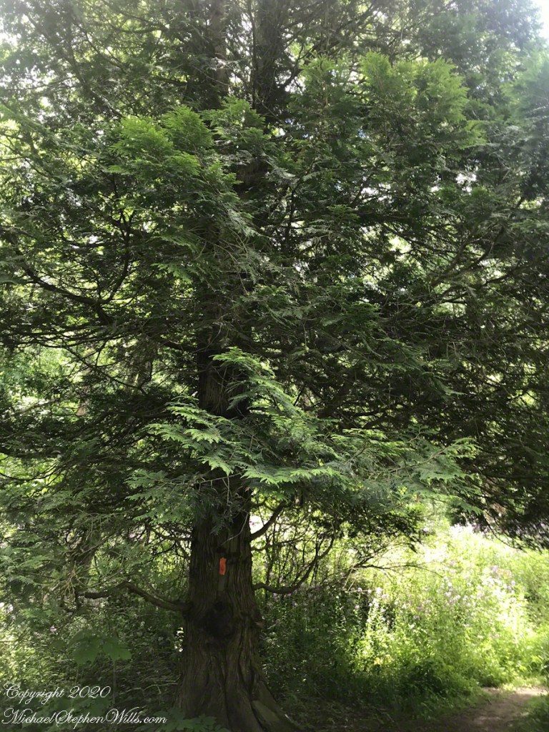
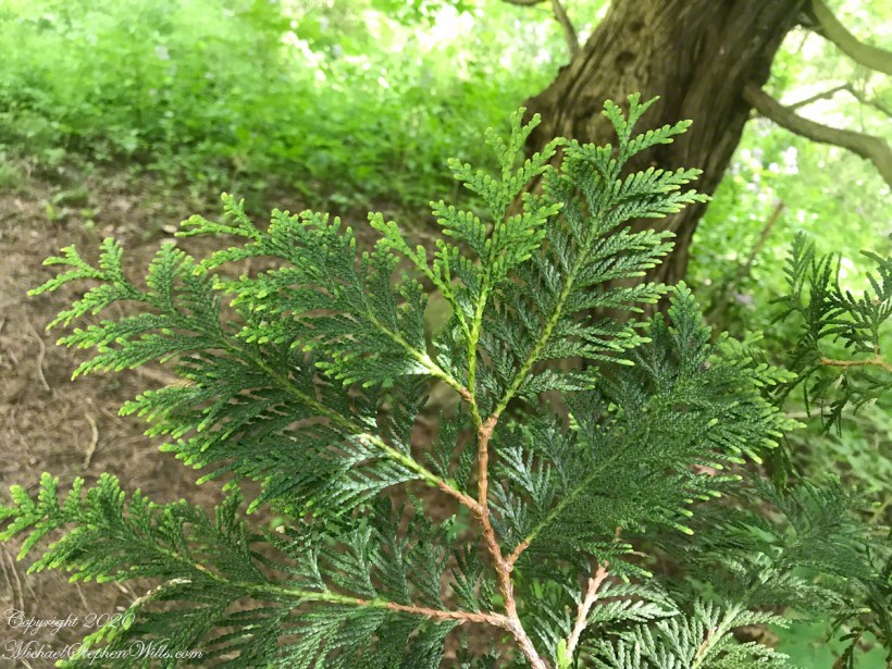
Unlike its name, Dry Creek is perennial, fed by a broad drainage of pastures, cornfields and forests. Year round the spillway runs, feeding into the gorge a constant, reliable supply of water for the many waterfalls for which Fillmore Glen State Park is known. The very first waterfall is on the rocks supporting the north side of the dam, formed where water from the spillway flows over these rocks into a deep, east west gorge overhung on the south side by mature hemlock trees.

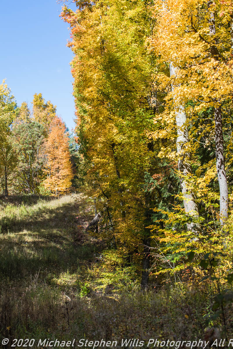
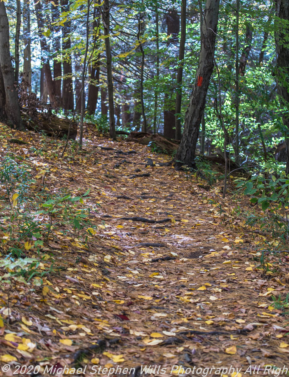
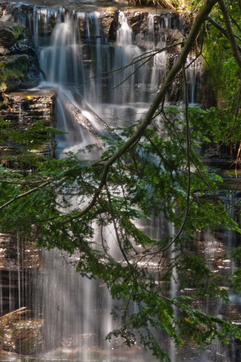
I first encountered Fillmore Glen in the 1980’s with my young son, Sean. On Sundays he and I walked as far as he tolerated, about half way to the dam site, where the gorge makes a turn to the south, the trail on an unstable clay bank against a crumbling shale cliff. Rediscovering the park in the early 2000’s, along with my interest in photography, I noticed the waterfall just below the dam many times and admired it for how the water caught late afternoon light over the many grace points created by rock crags like a wedding cake. The angle from the dam path is wrong for capturing this effect. Today was a first for me to leave the safety of the dam path to climb into the gorge, on the south gorge wall, for a shot.

Here is a view of the spillway fall on a mid-August afternoon, 2017. My photography kit for this walk with my wife, Pam, was minimal: a Sony Alpha 700 with a variable lens, the flash and a Manfrotto carbon fiber tripod. For this version of the spillway I climbed into the gorge on the south wall, about 40 feet above the creek. A hemlock tree branch fell across the view, incorporated into the composition. These hemlocks are not a biological relative of the Socratic, poisonous, hemlock. The relationship is a similar aroma when the leaves are crushed. The f stop is cranked to 36, ISO set to 100 so slow exposure time to 1.6 second. Post shot processing via Photoshop.

Click this link or the photograph for my Online gallery of this offering
Spillway Falls and Hemlock Branch -- CLICK ME!!!!

Copyright 2021 Michael Stephen Wills All Rights Reserved

Peter’s Mesa Sunset

Can You Find the Eye of the Needle?

Peter’s mesa is at the center of Superstition Wilderness treasure legends. I was a member of an expedition to the top of the Mesa March 2008. This is a sunset view, looking south, southwest. Light raking across the desolation and an approaching storm behind Miner’s Needle create a fascinating spectacle. Ancient volcanism, apparent throughout the Superstition Wilderness, is here seen in the texture, form and type of rock as well as the mineral deposits. Miner’s Needle, like Weaver’s Needle (no seen in this view), are eroded volcanic summits. Look closely for the “eye” of Miner’s Needle, backlit by the storm cloud itself lit by the setting sun. To this day, hopeful prospectors search for gold nuggets around the Needle. There is one form of volcanism present today as an eerie rumble or hiss, similar to an enormous distant jet engine. We heard now and then during our two days on the mesa, louder and closer than a overhead plane could produce. The view includes many notable Sonoran desert plants. Many young Saguaro cactus are in the form of green poles and, on the rim of the ravine running left to right below the closer ridge, an excellent specimen with multiple arms. Catching the dramatic light, on the ridge is a tall single flower of an Agave, known as the “Century Plant” it flowers once in a long life and dies.

Click this link or the photograph for my Online Gallery
Peter's Mesa -- CLICK ME!!!!

Peters Mesa is named after “Old Pete” Gottfried Petrasch, father of Hermann and Rhiney Petrasch. Old Pete worked for Jim Bark for awhile in the 1890s doing odd jobs. Irregular employment gave Pete and Sons time to s searched for the Lost Dutchman Mine in the years following the death of the source of the legend, the “Dutchman” Jacob Waltz. The Petrasches were one of the first groups to search for the mine, and gold in general. They covered almost the entire Superstition range in their combined searches.

On our first day on the Mesa we came across the remains of one of these camp, on the top of Squaw Canyon. This was only deplorable junk a presumably disappointed bunch of searchers were too lazy to cart out. That March, we were lucky to find the remants of winter rains in the form of a meager trickle at the bottom of a shallow draw off Peter’s Mesa trail up from La Barge canyon. We had a good time of it until the trip was cut short by a storm front and torrential rains. We were back in Apache Junction before they hit.
This panorama is from our last evening on the Mesa. As the sun set I put the Kodak DSLR with a 50 MM lens on a Manfrotto tripod and hiked a mile higher onto the mesa for a view of Miner’s Needle. I quit only after the last light was extinguished by the approaching front. My reward for persistence was this dramatic light ennobling a craggy desolation. This is a composite of several images, combined using Photoshop. I have since invested in a Canon 24 mm wide angle lens.

Here is another Superstition Wilderness Episode

Copyright 2017 Michael Stephen Wills All Rights Reserved

Carpenter Falls flows into Skaneateles Lake

on the jug path

Under a crystal blue September sky, my wife and I climbed into the gorge of Bear Swamp Creek to the foot of this waterfall past the site of a distillery where, years ago, locals used to frequent using a “jug path.”

The creek is strictly protected as part of the water source for Syracuse, flowing from the Skaneateles Highlands past historical villages such as “New Hope.” Before merging with Skaneateles Lake, the creek traverses this 90 foot fall, call Carpenter Falls.

You need to climb the steep slopes of the gorge for this unobstructed view.

It is even possible to climb to the ledge behind the water. Standing on the ledge, the stream passes 50 feet overhead. It is a lovely view down the gorge in all seasons.

Click this Link for my Fine Art Photography Gallery.

This site is protected by the Finger Lakes Land Trust.

Copyright 2021 All Rights Reserved Michael Stephen Wills

Thayer Preserve, Lick Brook

Former farm land

Sandbank Road climbs from the valley of Ithaca city to the rural peneplain on the way to Buttermilk Falls, we passed the sign for this preserve many times, today we explored this place, new to us. The trail descends to Lick Creek canyon.

Click photograph for larger view. Use combination keys to enlarge/reduce: Ctrl+ (Control / Plus) and Ctrl- (Control / Minus)

We stopped to enjoy the open space of a powerline clear cut where the trail intersects the creek bed. Here we turned, following the water.

Off trail to the creek bed.

Click to view my Finger Lakes photographs on Getty.
Copyright 2019 All Rights Reserved Michael Stephen Will

Jennings Pond

Buttermilk Falls Source

Tom Knight, “has been delighting children and their grown-ups with his original, interactive, musical puppet show since 1988,” in 2018 Pam, myself and the grandchildren were lucky enough to catch his act at Cornell University Johnson Museum. His CD, “Purple Pumpkin Pie” is in the car and, pre-Covid, I’d play it in the car while riding with the grandchildren.

“Jennings Pond,” a song on that CD, mentions a local town, Danby. Until last week I did not think twice about it. Driving into Ithaca, heading north on Route 13, there’s a compelling view down a valley. I’ve taken exploratory drives down there on the West Danby-Spencer road, seeing what there is to see. A week ago last Sunday, turning left at West Danby, up the hill forming the east valley wall, on Station Road, then Bald Hill Road, passing by the Finger Lakes Trail through Danby State Forest, on the right I spied a compelling open area, a pond, and this sign….

I proceeded onto a footbridge over the pond outlet, the source for Buttermilk Creek,…….

…and continued to a footpath, southeast and away from the pond. Toward the Finger Lakes Trail? I left this adventure for another day.

Copyright 2020 Michael Stephen Wills All Rights Reserved

Salt Road

Summer View with Clouds

Travel to Fillmore Glen from our former home included a climb to an overlook of the Fall Creek valley, seen here on a summer afternoon in four parts.

Three exposures using a 50 mm Canon lens on a Kodak dslr. A tripod allowed me good orientation and, later, to use the Photoshop photoMerge feature to combine exposures into a panorama. At that time, I was limited to the 50 mm lens.

Copyright 2020 Michael Stephen Wills All Rights Reserved

Cow Sheds (waterfall)

A Waterfall with this unusual name.

The gorge takes a turn here to face the west, where I caught the late afternoon sun lowering in these three shots in close sequence.

Copyright 2020 Michael Stephen Wills All Rights Reserved

The Three Laughers of Tiger Glen – repost

The Sound of Laughter Among Friends

In the midst of a pine forest……

Click Me for the complete post….

Copyright 2020 Michael Stephen Wills All Rights Reserved

Loopy VII

Welcome Distraction

This Finger Lakes Trail / Treman Park / Cayuga Trails Loop concludes with these incredible trees and flowers

Click any photograph for a larger view. To do this from WordPress Reader, you need to first click the title of this post to open a new page.

The diversity of Fleabane throughout North America is simply enormous.

We end at the beginning. Here is more information about these flowers, in the captions.

Copyright 2019 All Rights Reserved Michael Stephen Wills

Loopy VI

Welcome Distraction

The Red Trail makes a turn up a slope of 10,000 year old glacial till. Here a side trail leads to a woodland waterfall.

Click me for better experience viewing the following video. To do this from WordPress Reader, you need to first click the title of this post to open a new page. Note the replay icon (an arrow circling counter-clockwise.

Click any photograph for a larger view. To do this from WordPress Reader, you need to first click the title of this post to open a new page.

Copyright 2019 All Rights Reserved Michael Stephen Wills