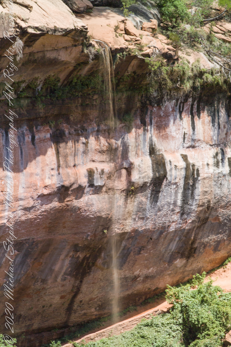
“Water seeping out of the Navajo sandstone creates tranquil springs and the unique “hanging gardens” for which Zion is famous, full of ferns, wildflowers, and mosses.”
ISO 250, 1/6 sec at f/22
Here are three exposures of the same scene.
ISO 250, 1/4 sec at f/22
Click on an image for a closer view.
ISO 250, 1/13 sec at f/22
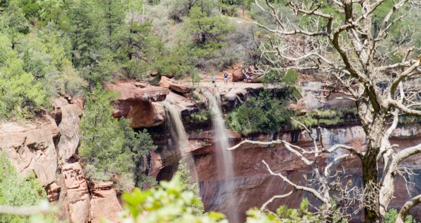
Can you spot the foot path?
Here is a gallery of the three photographs, to flip back and forth. the primary difference is the exposure within the shadow under the projecting cliff face.
ISO 250, 1/6 sec at f/22
ISO 250, 1/4 sec at f/22
ISO 250, 1/13 sec at f/22
Copyright 2021 Michael Stephen Wills All Rights Reserved
Wandering Zion canyon I spied three visitors seemingly trying their luck on the cliff edge, where the water drops.
ISO 250, 1/8 sec at f/22
Look closely and the rope barrier can be picked out. Can you see the three figures? Click on the image for a larger view.
Captured with a Kodak DCS Pro SLE/c dslr and a Canon lens EF 200 mm 1:2.8 L II stabilized with the Manfrotto Studio Tripod model 475 and the 468 Hydrostatic ball head. This series explores the possibility of the iconic “Lone Pine.”
Copyright 2021 Michael Stephen Wills All Rights Reserved
Walking up University Avenue toward Lib Slope, listening to the noon concert from the McGraw Tower carillion (a tuned set of bells), below the Johnson Museum turn left onto a footpath, follow to the steep trail down to the Gorge Overlook along Fall Creek. Look up at the suspension bridge and water powered electric plant. Climb back, turn right and down to Stewart Avenue for the view of Fall Creek Gorge, Cayuga Lake, the former studio of Carl Sagan, built into the gorge wall. In researching this topic I learned Google Maps shows the trail and you can “walk” the trail, Google brought the camera down into the gorge.
An IPhone 7 and video editing software were used for this post.
Copyright 2021 Michael Stephen Wills All Rights Reserved
Here is a repost for those who missed the video. Please click on video, below and share your responses via comments. Thank You
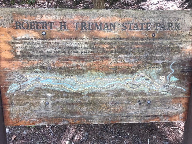
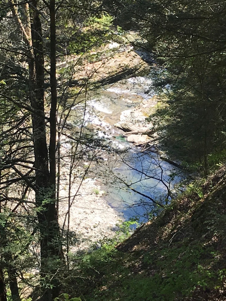
The Finger Lakes Trail joins Robert H. Treman New York State Park, running along the south rim along the park border.
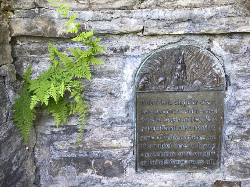
Today, I started from the stairs next to the Mill of the upper park, walking along Fish Kill Creek, a brief visit to the CCC plaque, over the new footbridge and a steep climb up to the ridge to a marvelous view over the way we just walked. That is a millipede resting on a wooden trail stake.
A word on the creek name. The Dutch word for creek is “Kill”, the anglicisation of the original name retained the Dutch making it, in effect, “Fish Creek Creek,” not a memorization of fish massacre.
There’s one shot of the damage done to tree leaves by hoards of caterpillars…I found chewed-up leaves at my feet throughout the hike.
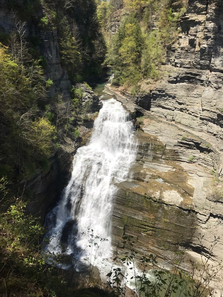
Then, I re-join the State Park South Rim trail, down the Cliff Staircase to wander the gorge floor below Lucifer Falls.
Up the Gorge Trail with many shots of these wonders including Lucifer Falls, Devil’s Kitchen Waterfall, and the Gallery.
Close with a shot of early Tiger Lily blooms on the south facing bank of Enfield Creek.
I used a new format with this post, with all media in one You Tube video. Enjoy!!
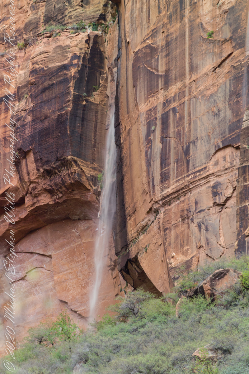
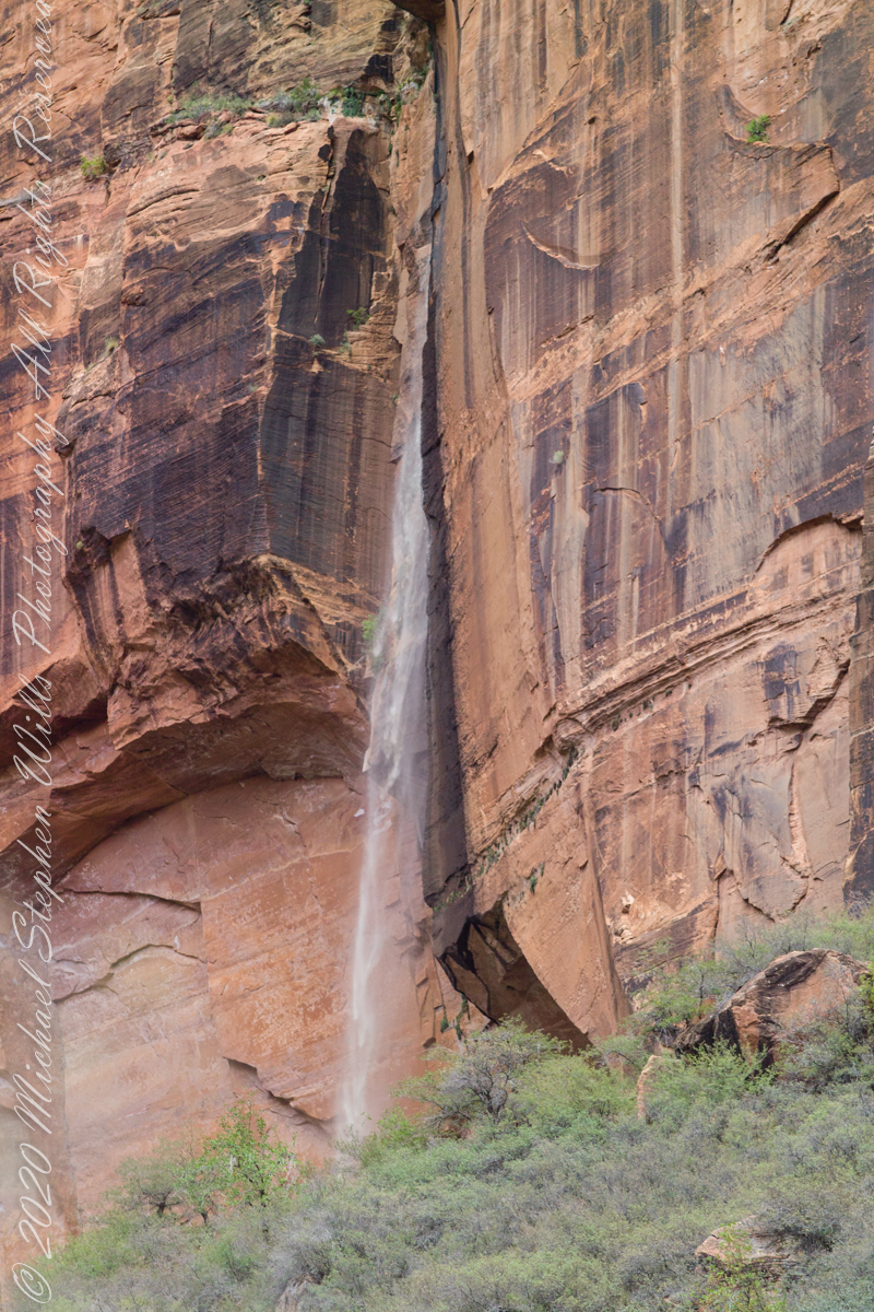
Rainwater from distant thunderstorms on the vast Colorado Plateau emerge from a cliff wall, Zion Canyon. The fall will last for a few hours, we bore lucky witness as do my images shared below.
1/15 sec at f/8.0 ISO 160
Captured with a Kodak DCS Pro SLE/c dslr and a Canon lens EF 200 mm 1:2.8 L II stabilized with the Manfrotto Studio Tripod model 475 and the 468 Hydrostatic ball head. I prefer the details of misting water at the widest lens aperture, focus is clear throughout the plane, excepting some foreground brush.
1/125 sec at f/2.8 ISO 160
Copyright 2021 Michael Stephen Wills All Rights Reserved
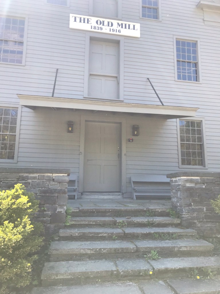
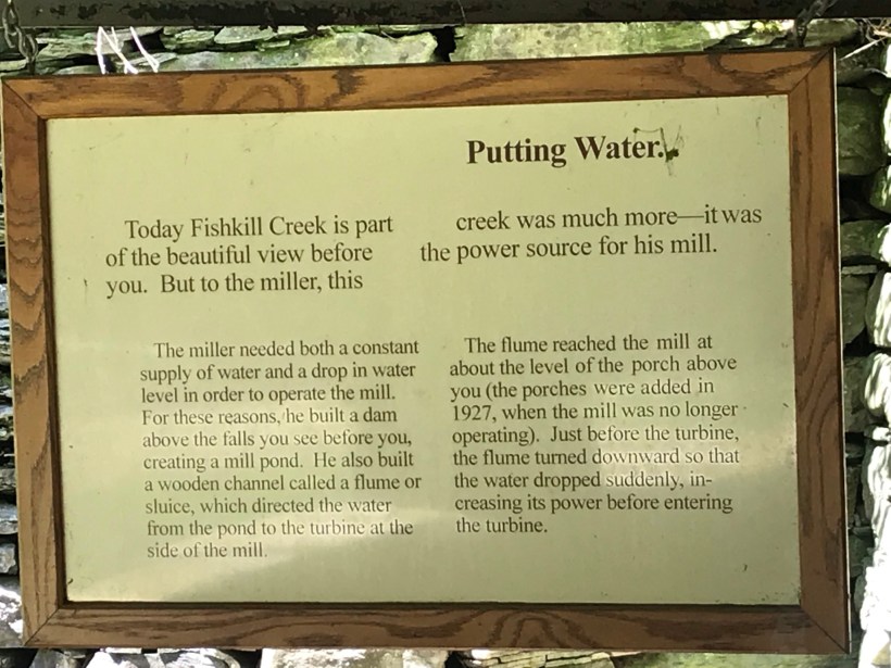
Pam and I headed out to Treman Park for a walk to the Lucifer Falls overlook. The Gorge Trail is not yet open due to the danger of rock falling from the gorge walls — the park maintenance staff needs to survey winter damage and knock down material in danger of falling.
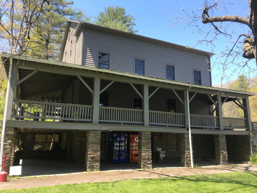
Our first stop was the mill waterfall. This was was directed to the mill stream to power the mill where grain was ground to order.
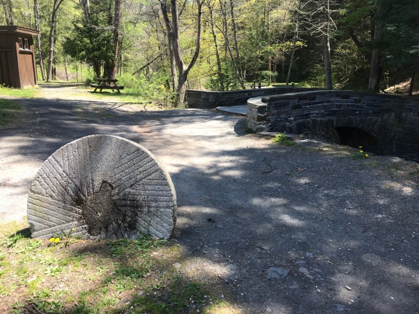
Here is an overview of the Mill, now a museum not yet opened post-Covid. The millstone stands at the start of the foot trails. All media on this post is from my IPhone 7, lightweight equipment for this hike. The automatic upload to ICloud is convenient.
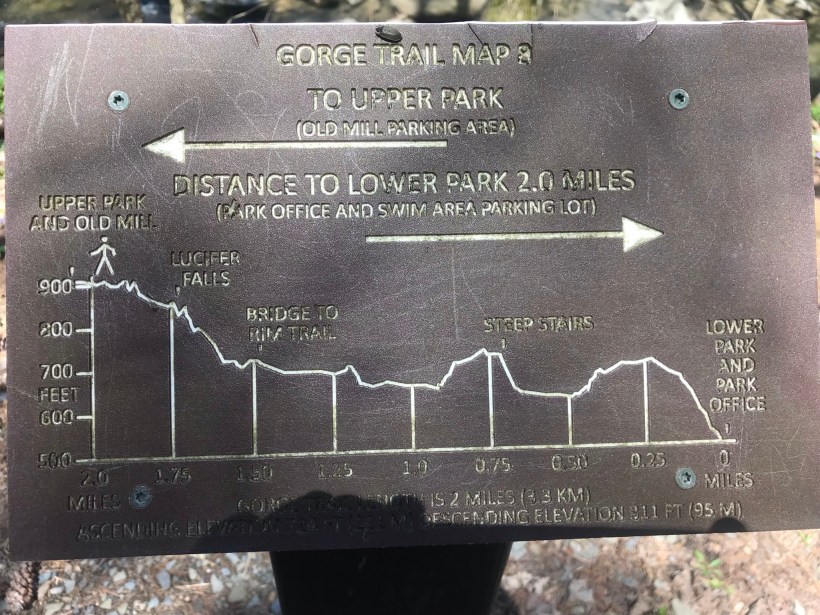
Round trip is four-plus miles, with several hundred feet elevation change. Pam and I discussed a car caravan for our next visit, to support a one-way downhill hike (still plenty of uphill hiking). We need to work up to the round trip after our winter inactivity.
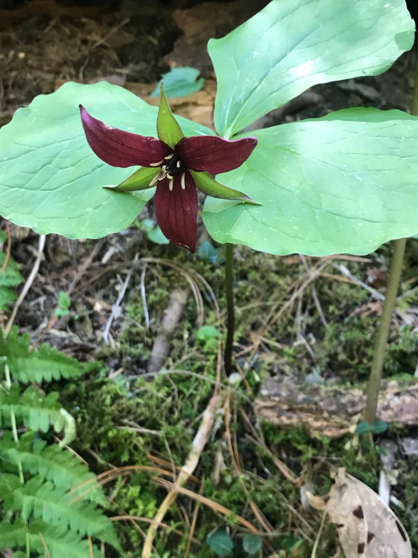
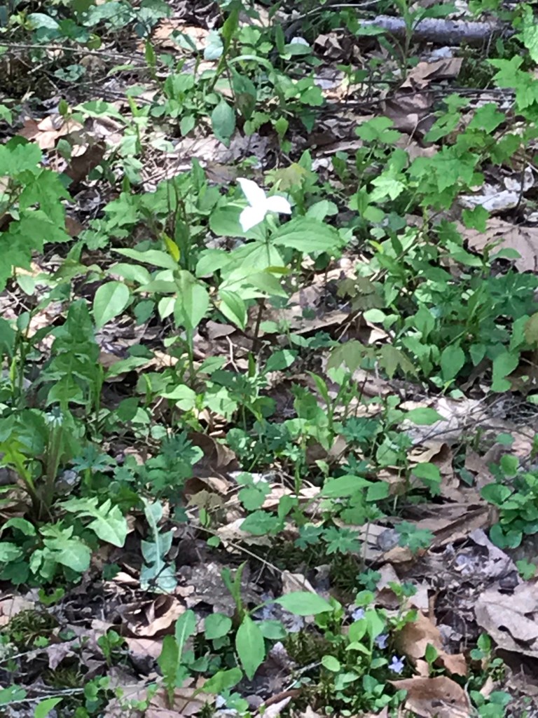
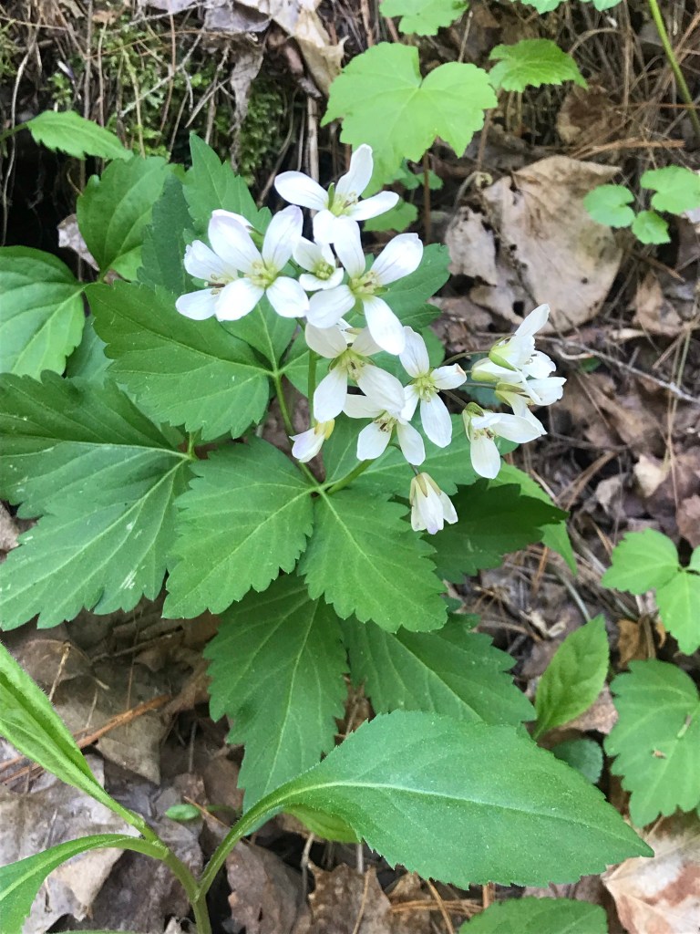
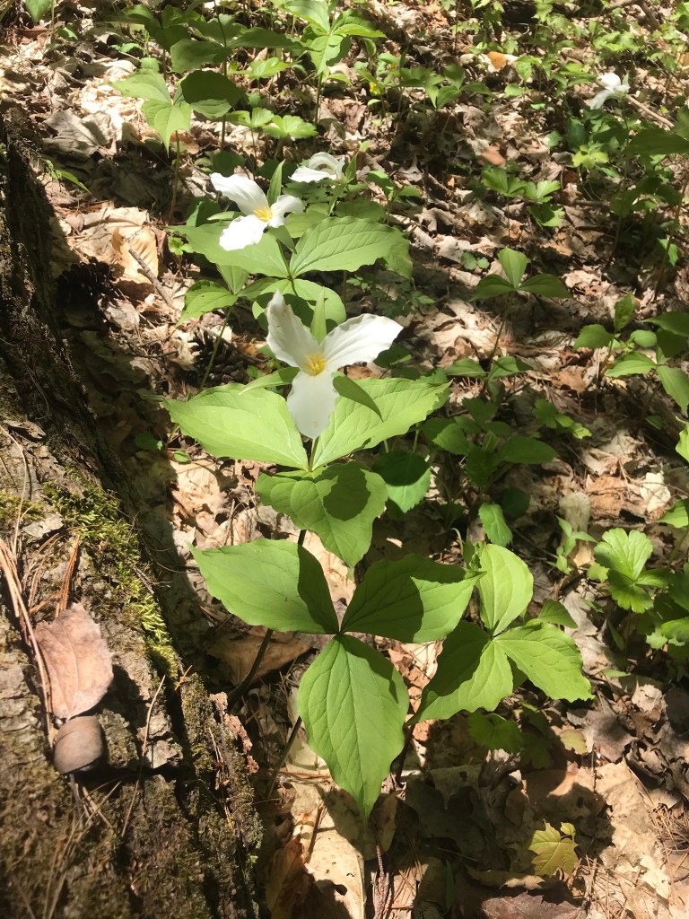
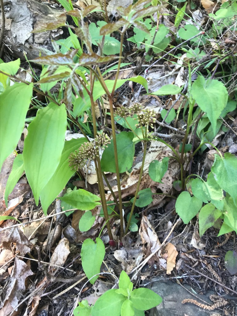
Trillium are in bloom!!
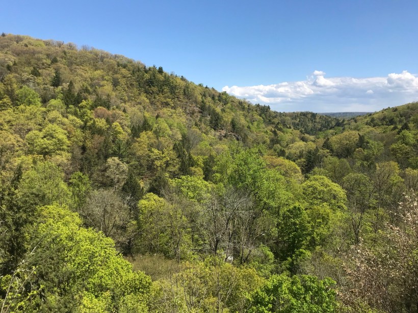
Multiple overlooks into the gorge grace this trail.
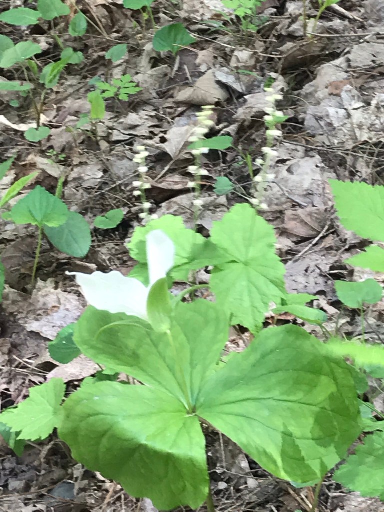
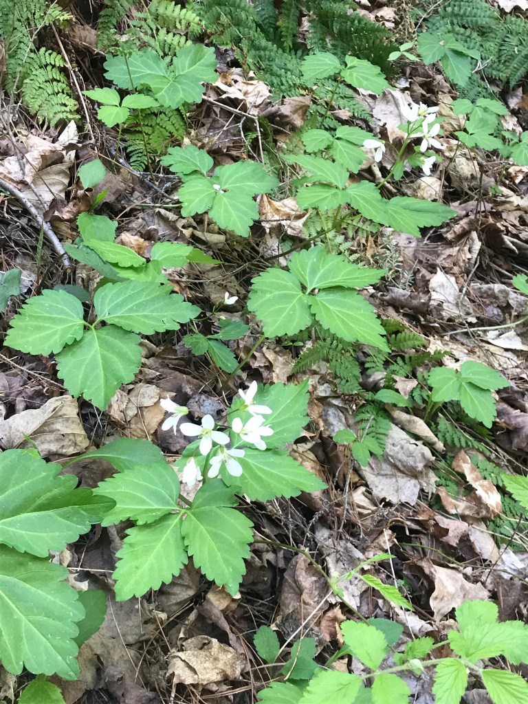
More trillium before we reached the overlook. Lucifer falls and the incredible path etched into the cliff by the Civilian Conservation Corps (Roosevelt’s Tree Army during the Depression).
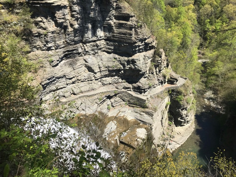
After the Lucifer Falls overlook is this stupendous view from the top of the Cliff Stairs, 224 steps continue to link to the Gorge and South Rim trails.
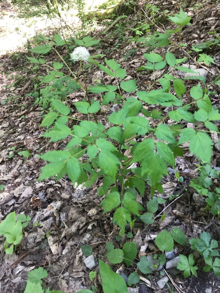
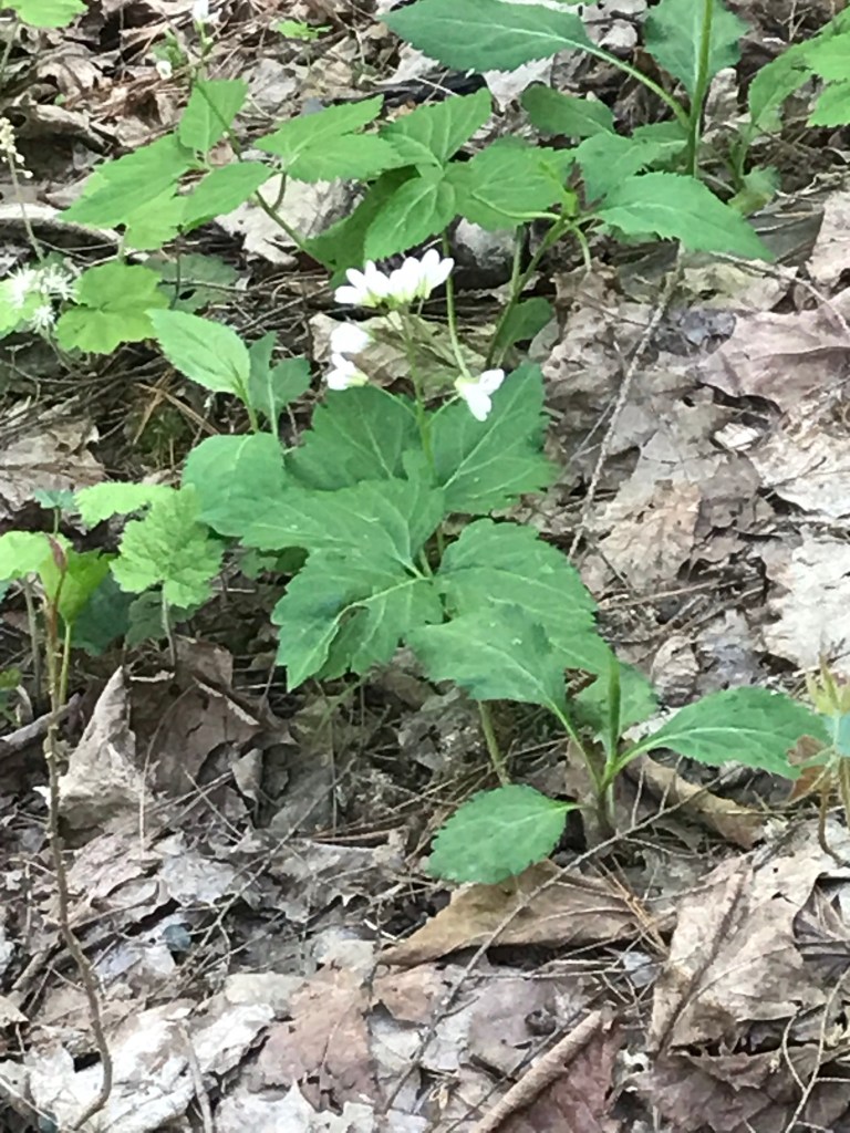
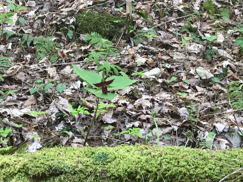
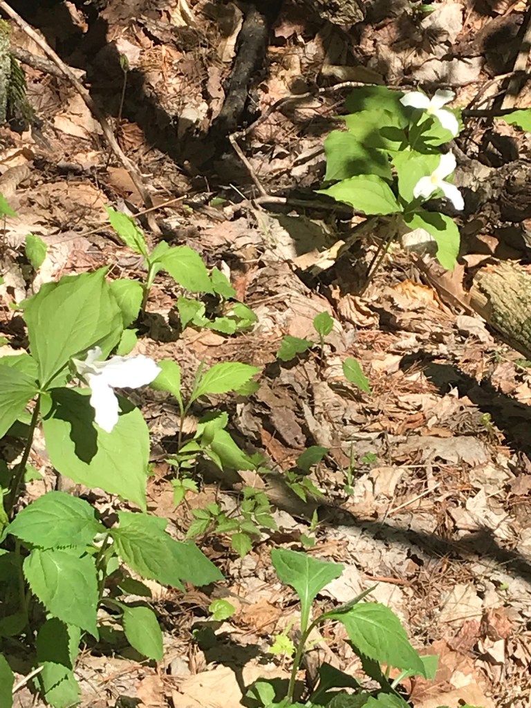
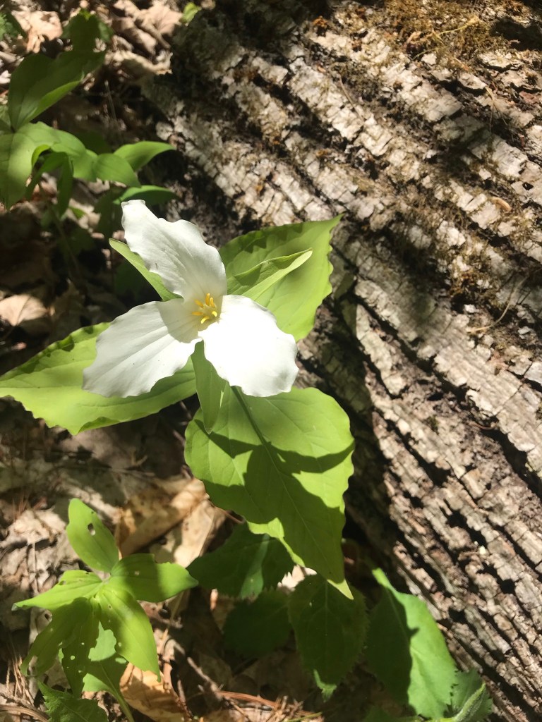
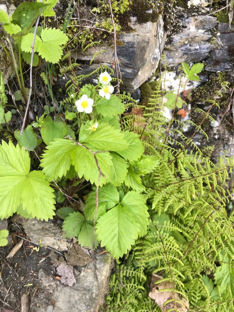
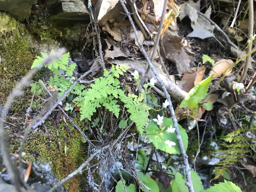
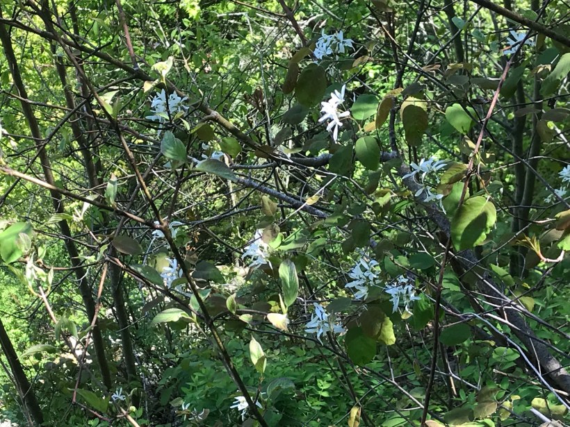
As we lingered on the top steps the flowering plants slowly revealed themselves.
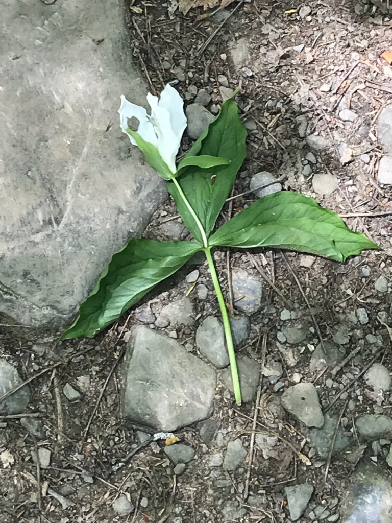
I captured this tragic image on the return trip….a trillium discarded on the trail. Stiff fines await anyone caught doing this.
Copyright 2021 Michael Stephen Wills All Rights Reserved
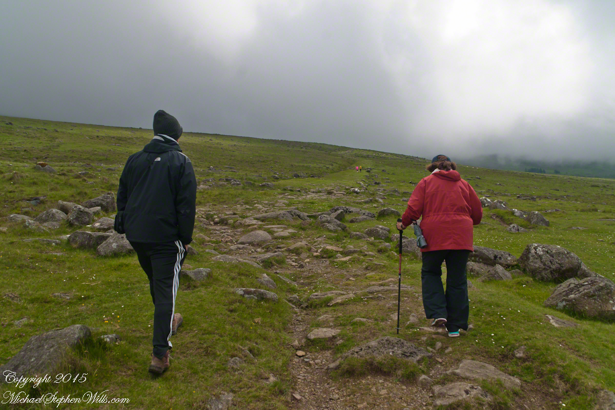
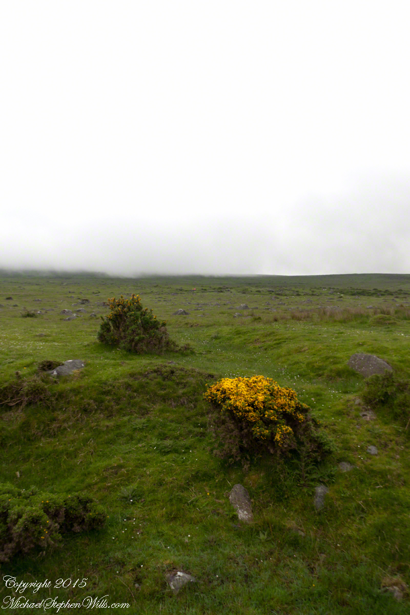
We did not climb so much as ascend, with effort, the flank of Slieve Foy, a peak of the Cooley Mountains, County Louth, Ireland. The group being cousin Sean, my wife, Pam, and myself.
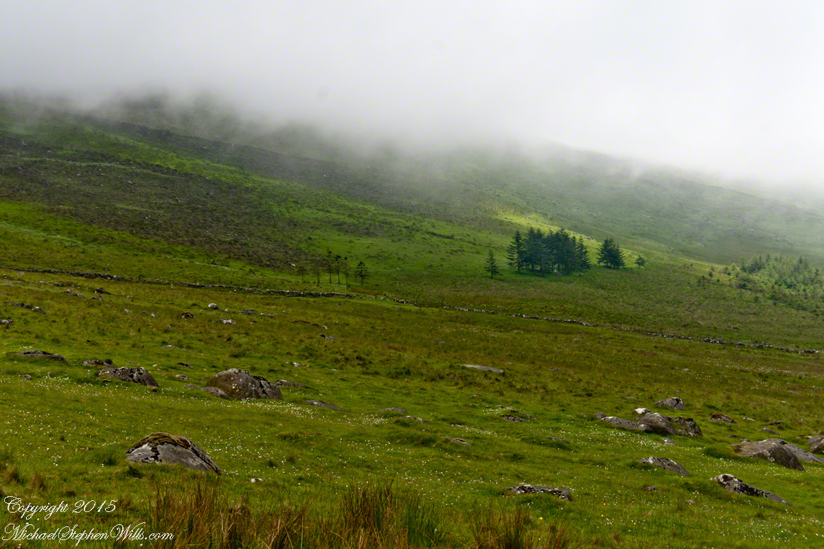
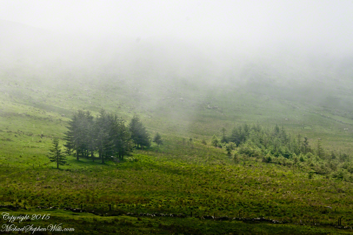
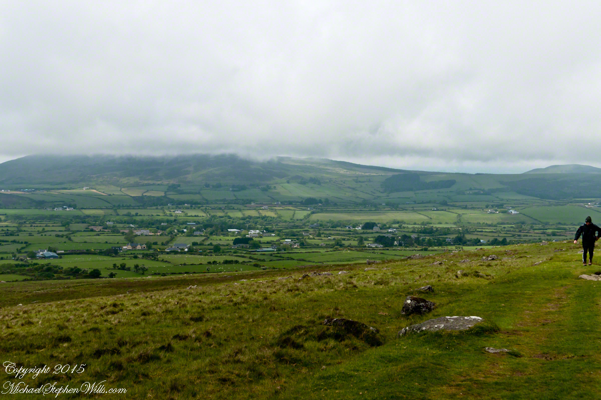
The ridge of Golyin Pass loomed in the mist where the path dissolved in low cloud. Sean pointed above, to the right to Barnavave, also know as Maeve’s Gap for the queen who came from the west of Ireland to take Donn Cúailnge, the Brown Bull of Cooley, by force of arms with an army behind her.
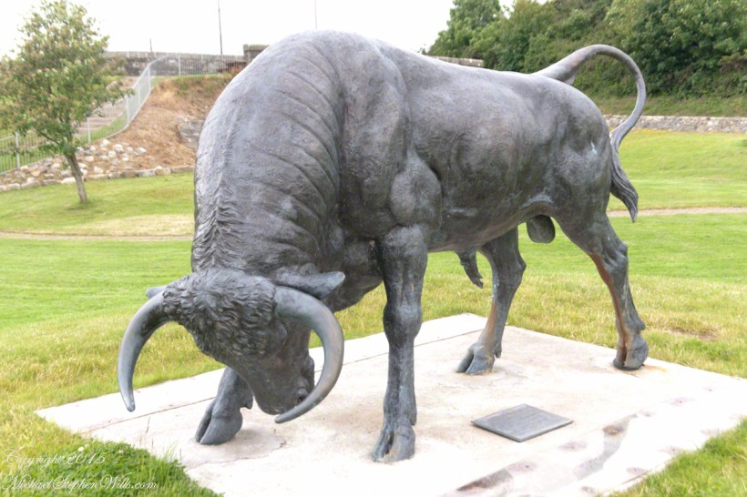
A modern rendering of Donn Cúailnge. See link at the bottom of this posting for more information.
When cousin Sean named Cú Chulainn, the champion of Maeve’s opponents, the Ulstermen, he recalled a story once lost, Táin Bó Cúailnge. A hospitable siege different from Maeve’s and mist are part of the story of the recovery of this tale.
A gathering of 150 poets, 100 pupils, and attendants strained the patience and wealth of Guaire Aidne mac Colmáin, King of Connacht, when it extended to a year and four months.
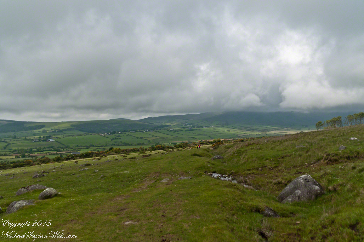
Our first and only encounter with fellow hikers. In the distance two figures appear over the next ridge, a mother and young daughter. She greeted us and challenged Sean to his knowledge of the area. Sean acquitted himself well and we continued.
On that 16th month, the king challenged the leader of his guests to the telling of a tale. Guaire demanded Seanchan Torpest, the chief poet of Connacht, to recite the whole of Táin Bó Cúailnge, known in English as the Cattle Raid of Cooley or The Táin (Cattle Raid).
Click a gallery pic for a larger view.
In this way the king was relieved of his guests: the book of the Táin was lost before their lifetimes, rumored to be abroad. Abashed at his failure, Seanchan Torpest withdrew. Fellow poets and followers trailed out from the castle.
Seanchan Torpest regrouped the host (an opened question is who then supported them) in conference to construct Táin Bó Cúailnge. It was a false hope as the gathering discovered while each poet knew a part of the whole, most of the story was lost. His honor, reputation and self-esteem in tatters the Chief Poet of Connacht, set off with Murgen, his son, and second cousin Eimena to return the Táin to Ireland.
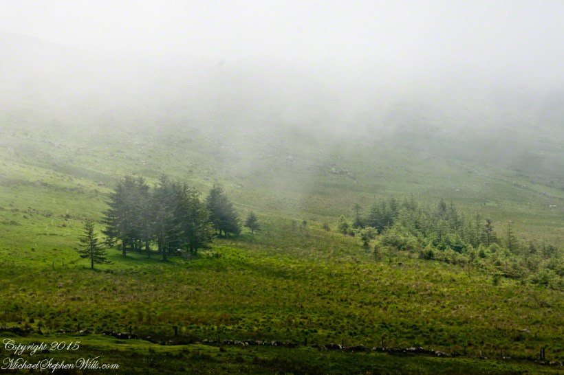
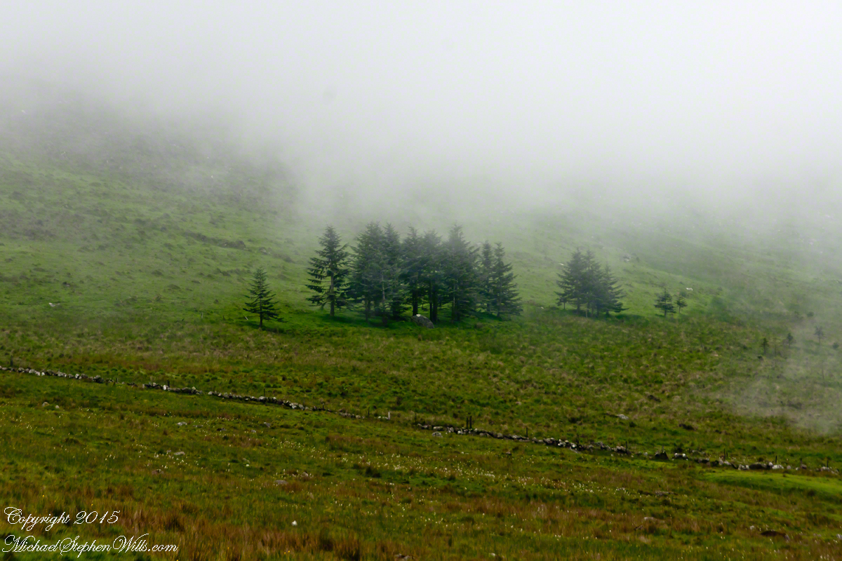
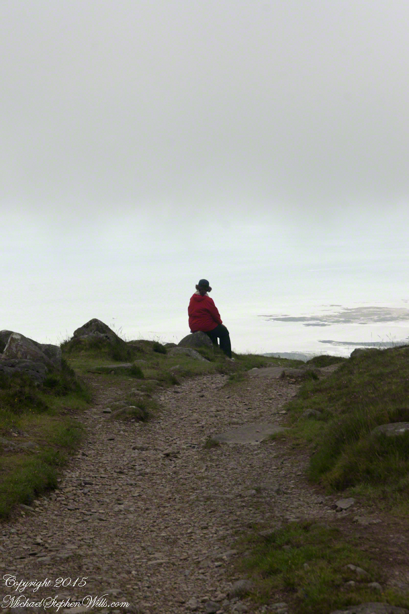
Into mists such as those Pam, Sean and I ascended, the travelers soon were lost and separated.
Magically, Murgen finds the grave of the Uncle of Cú Chulainn in the mists, there to meet the shade of that enormous man, Fergus mac Róich is his name. In the Táin, as related in whole by Fergus to Murgen, Fergus was led by circumstances to ally with Maeve, to guide her army against the Ulstermen. As a deposed king, traitor to Ulster and Uncle to the champion Cú Chulainn, Fergus knew the tale entire.
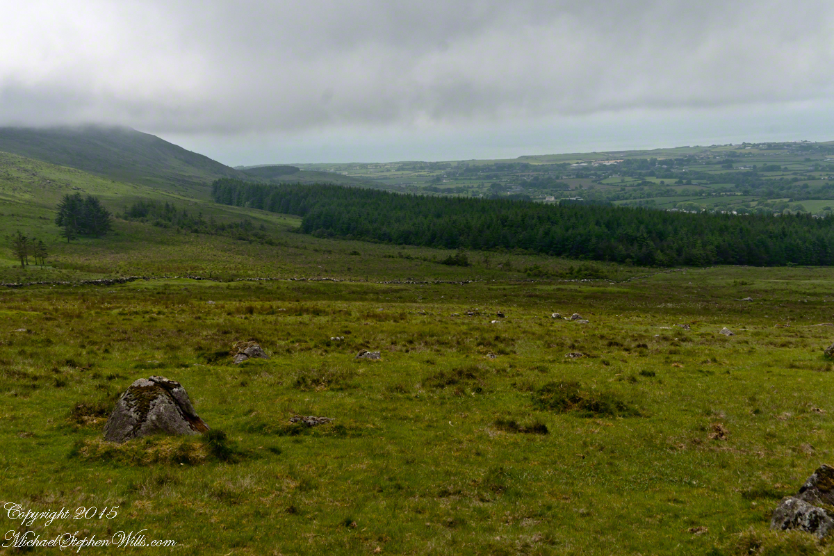
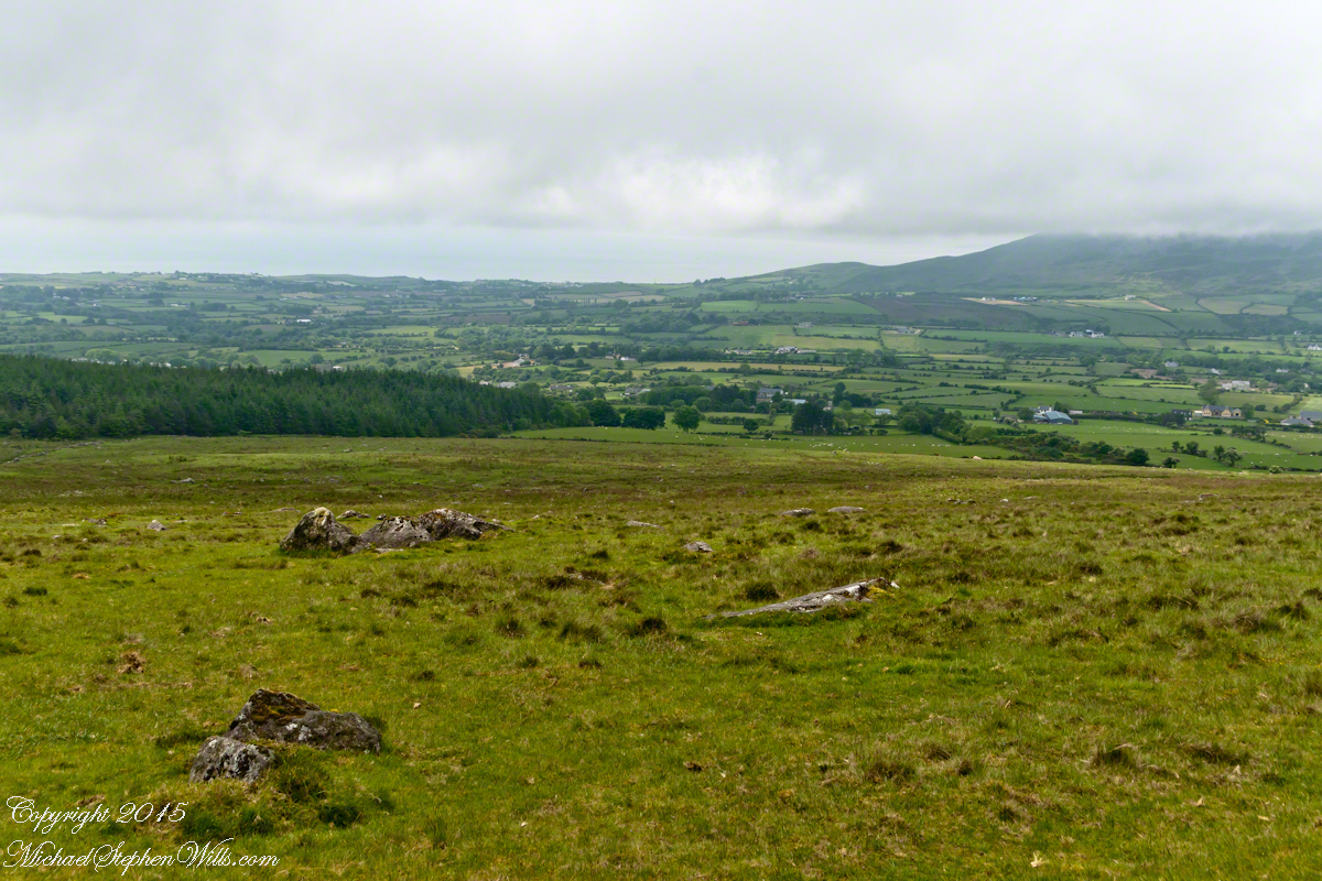
View as we approached Goliyn Pass
It was from the mists that Murgen emerged, found his father and cousin, and returned together without the book, but with possession of the substance of the Táin.
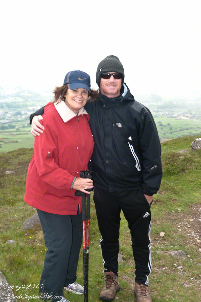
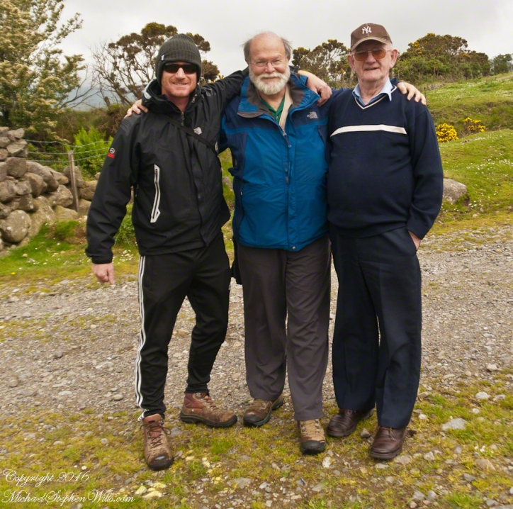
On Monday, June 9, 2014, cousin John Mills dropped his son, Sean Mills, myself and Pam Wills off at the foot of the western slopes of Slieve Foy on the Tain Way. Sean, Pam and I walked the way over the mountain and into Carlingford in the footsteps of epic Irish heroes.
Our guide, Sean Mills, proposed the walk and it fell on our last full day in Ireland. Sean’s father and our host for this visit, John Mills, transported the group including my wife Pam to the starting point at the foot of Slieve Foy.
Yes, if there is any part of the Tain Way the the mythic Irish heroes trod it is this one over Slieve Foy mountain. The saga, in Irish “Táin Bó Cúailnge” and “The Cattle Raid of Cooley” in English, features this bull, “Donn Cuailnge” “The Brown Bull of Cooley”, here as a statue erected 2011 by the Grange and District Residents Association.
Donn Cuailnge raged over the very slopes we walked this day. The myths themselves fill a volume and I am unable to do them justice here.
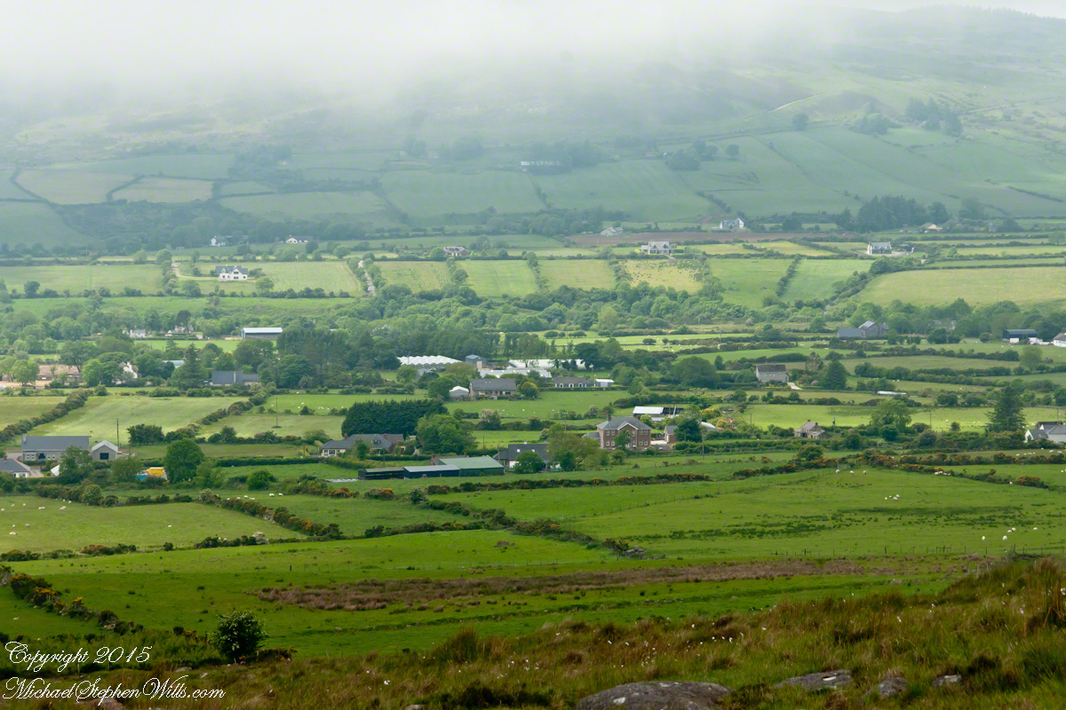
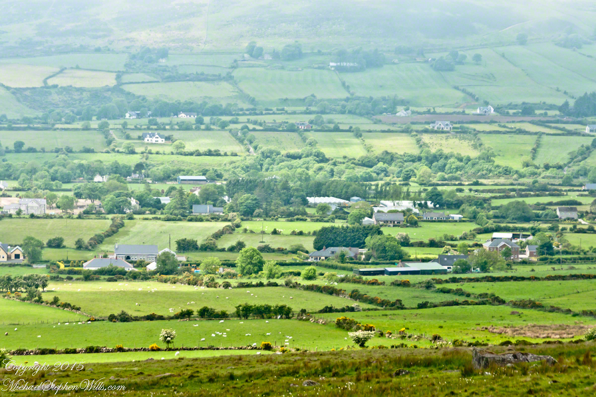
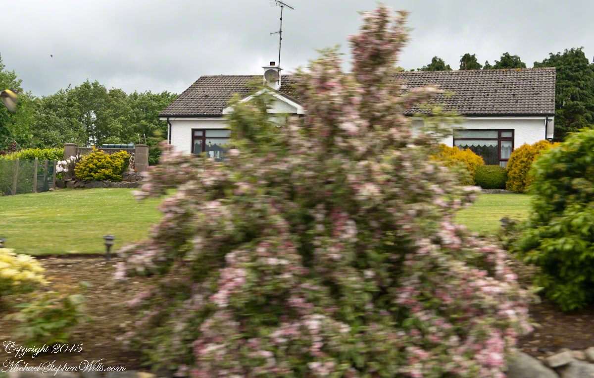
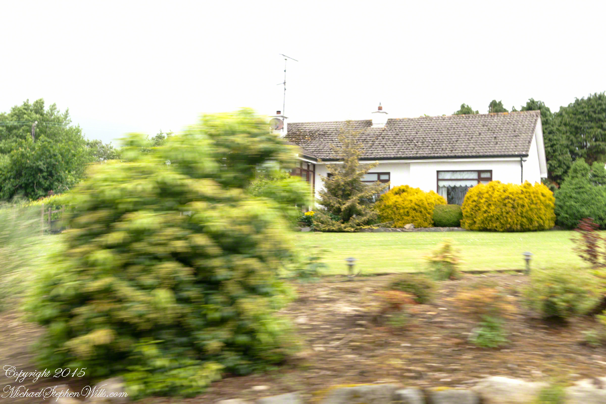
On the way, John stopped at the Old Aghameen School he attended in the late 1930’s early 1940’s 70 years before and we pass through the country soon to grace our views.
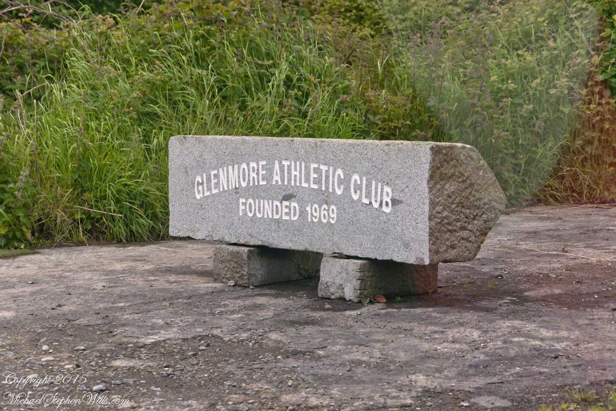
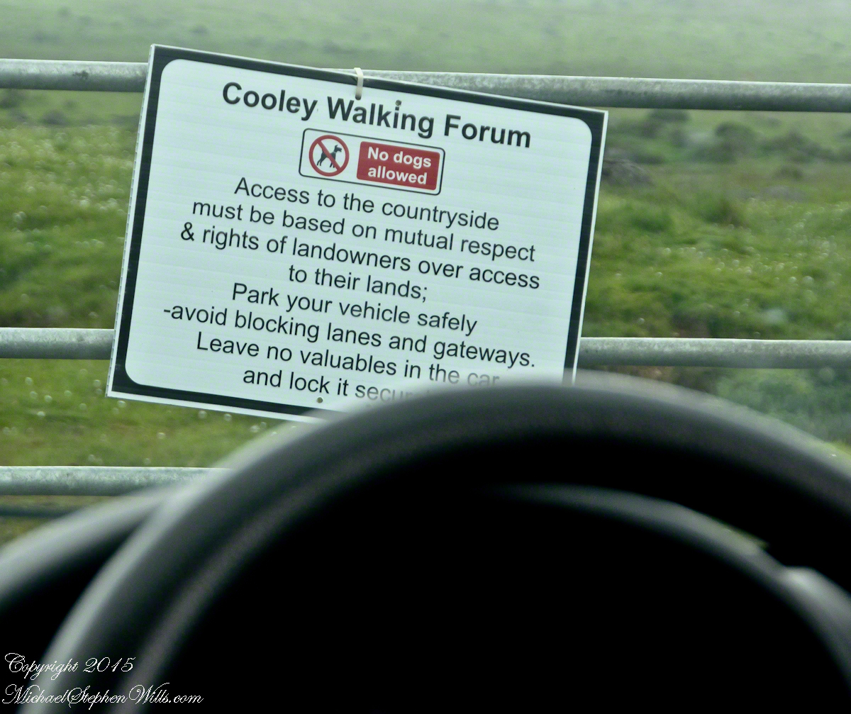
Many thanks to the Glenmore Athletic Club, the Cooley Walking Forum and land owners who provide access to the Tain Way.
We had our leave taking with John, who planned to stay near the phone for our call from Carlingford, if all went according to plan. That same year Pam had the first of two total knee replacements. This was our longest hike in Ireland and Pam was not likely to miss it, regardless of any pain. Pam is always ready to smile.
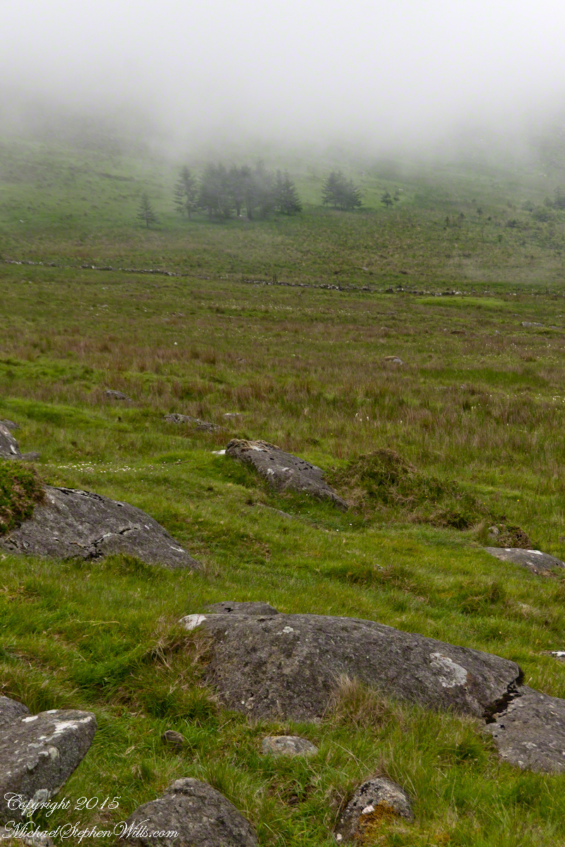
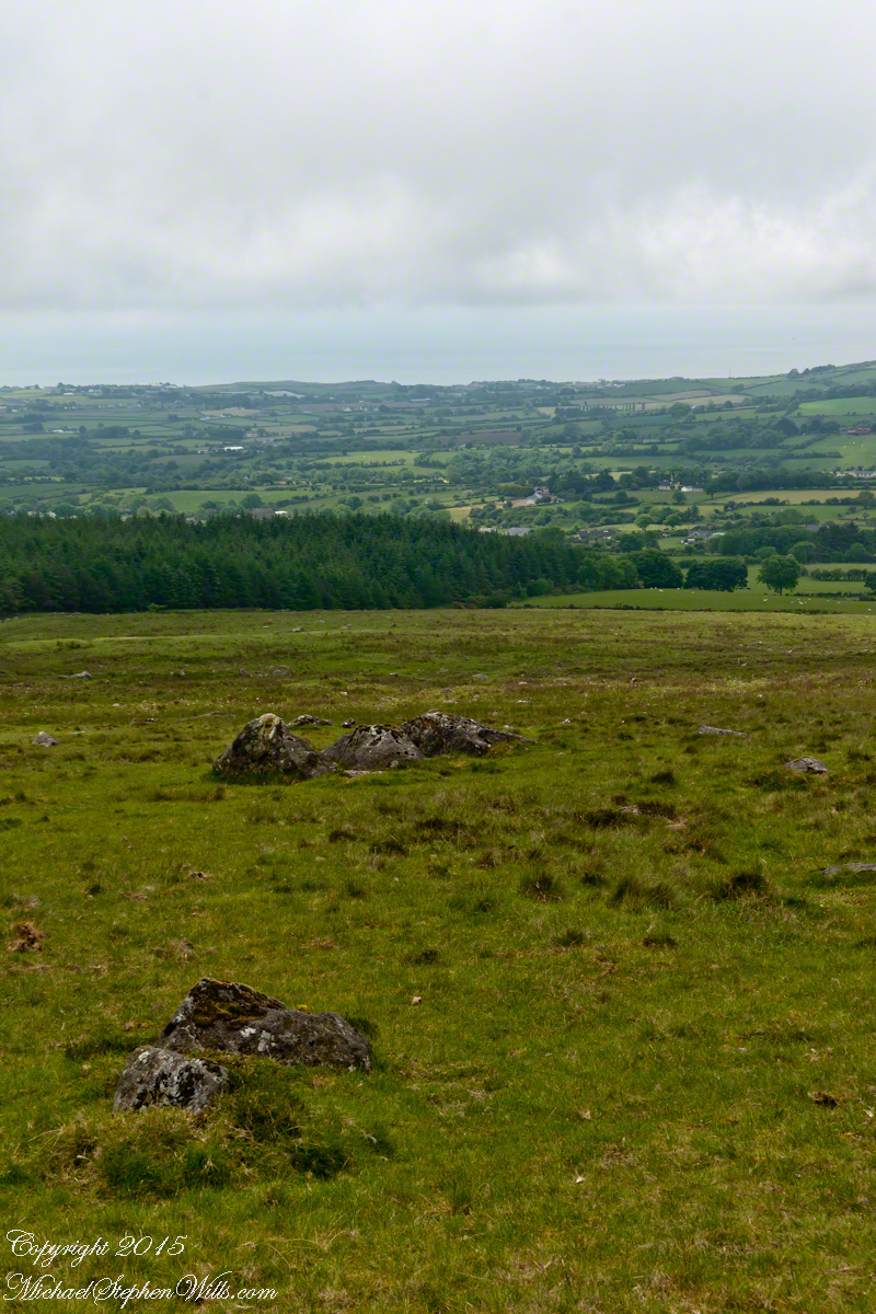
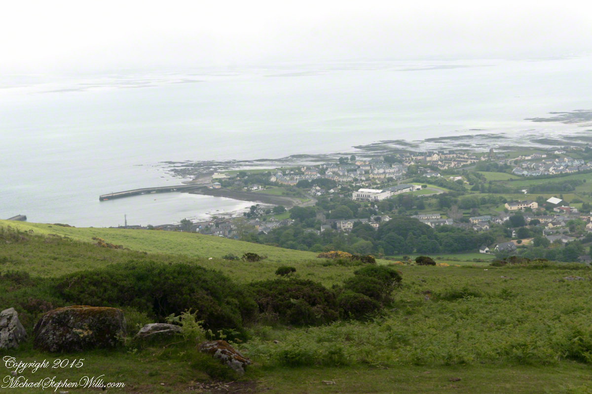
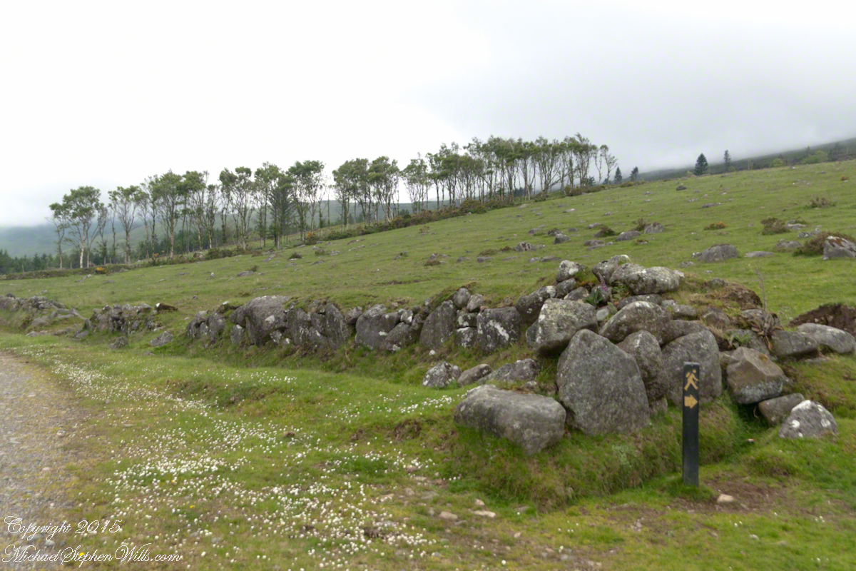
At start, the Tain Way is broad, green and welcoming.
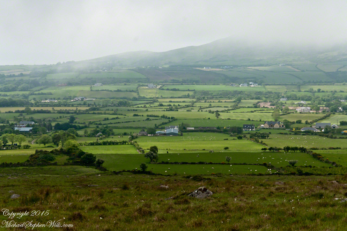
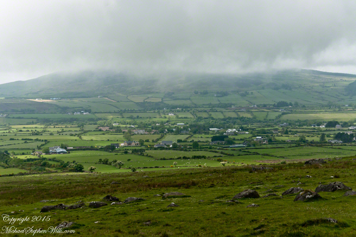
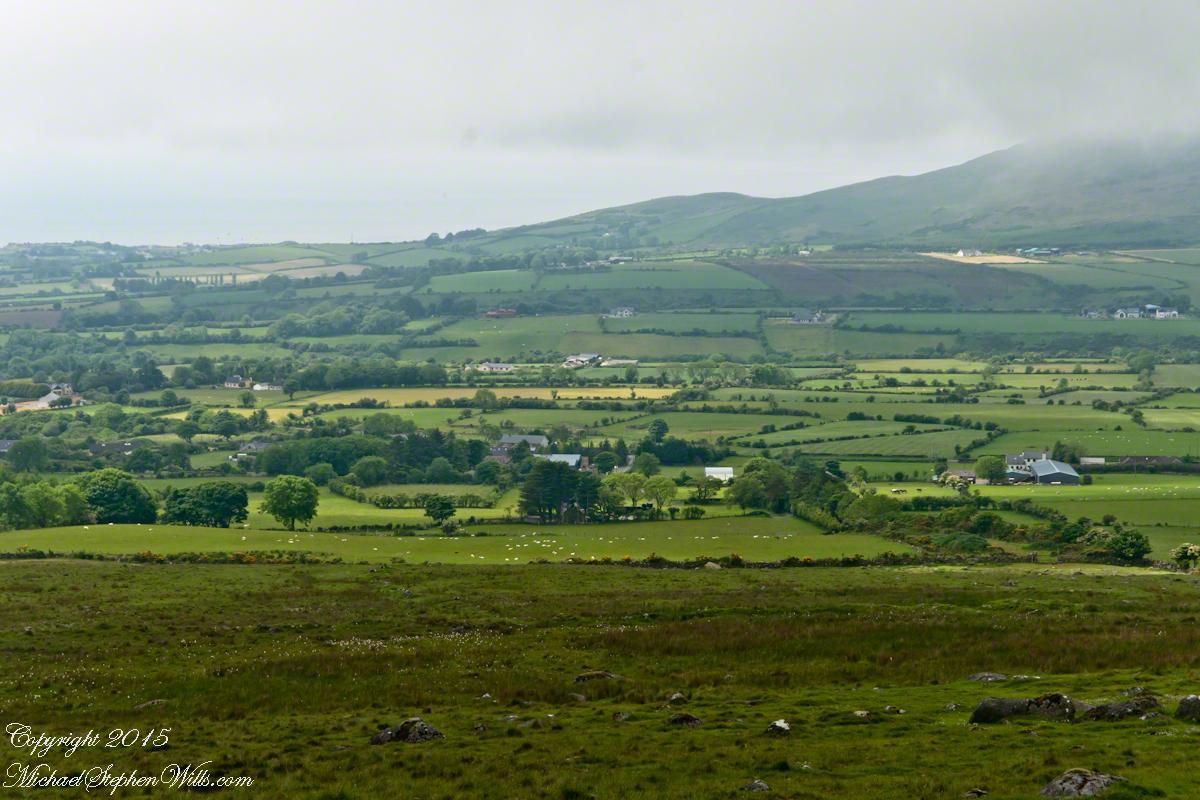
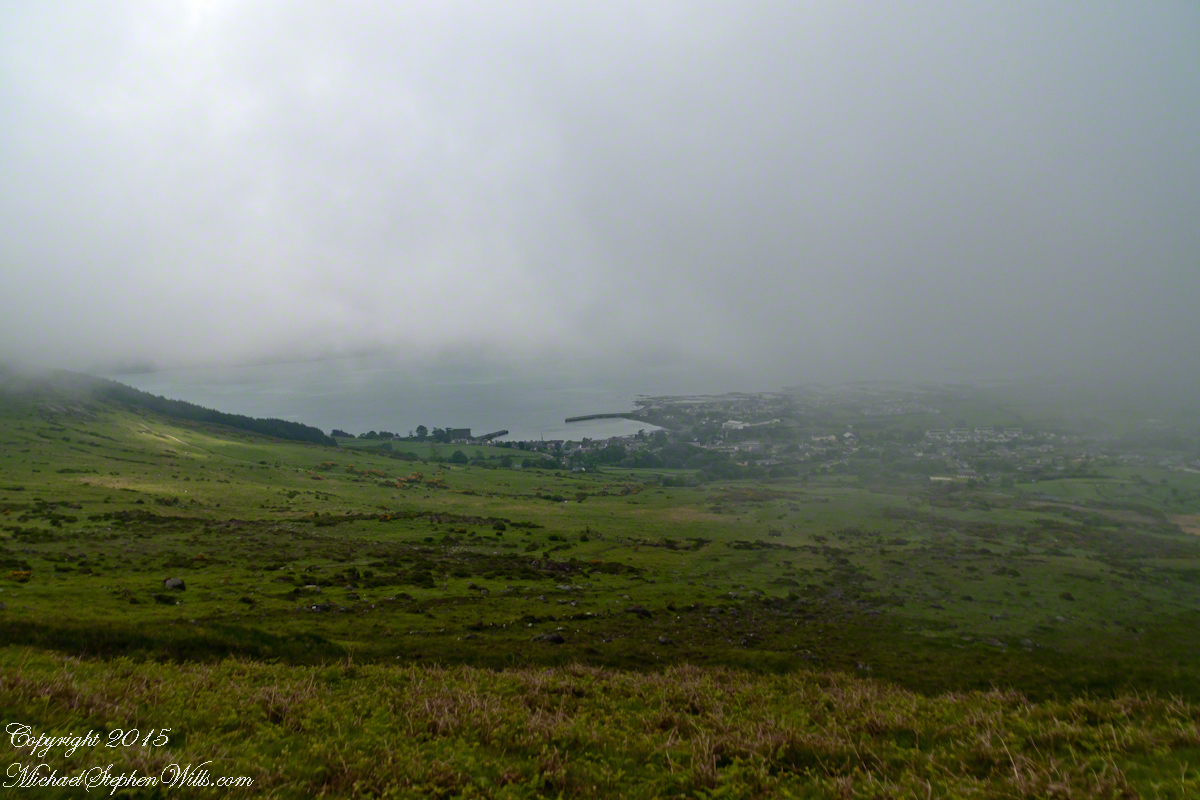
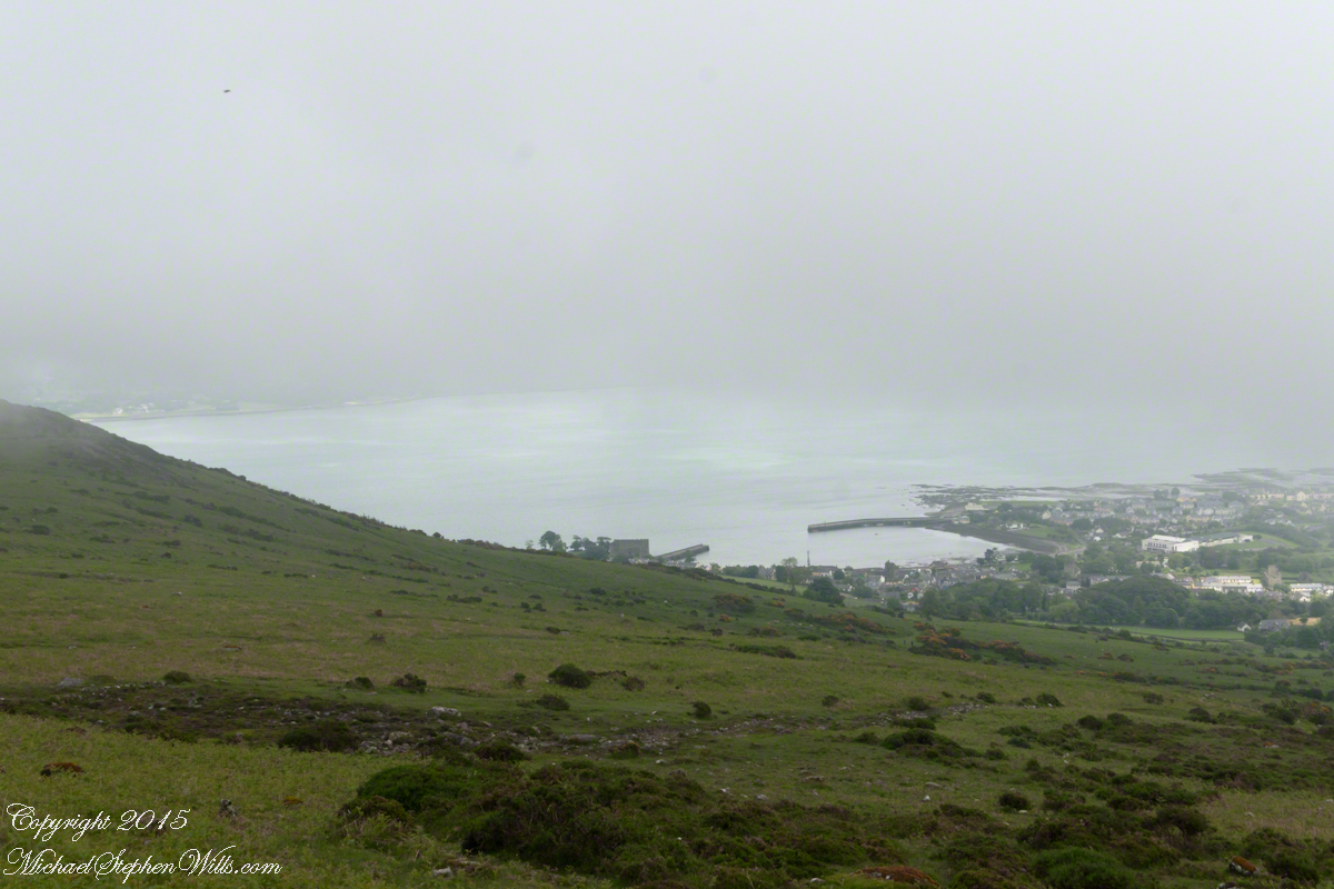
The western slopes of Slieve Foy hold views of a valley among the Cooley Mountains with Dundalk Bay of the Irish Sea to the south / southeast. It was not long before the view started to open and, then, opened and opened the entire walk to the top. We were graced with a lovely, cloudy, June day. Mist only, no rain. Plenty of wind, not strong.
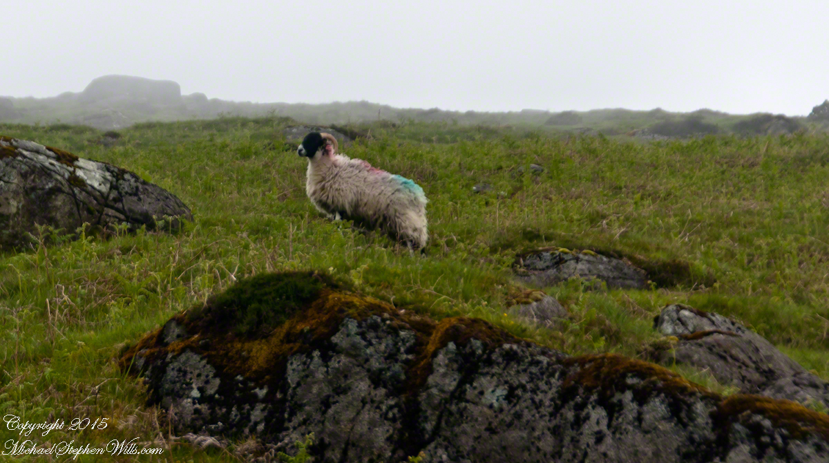
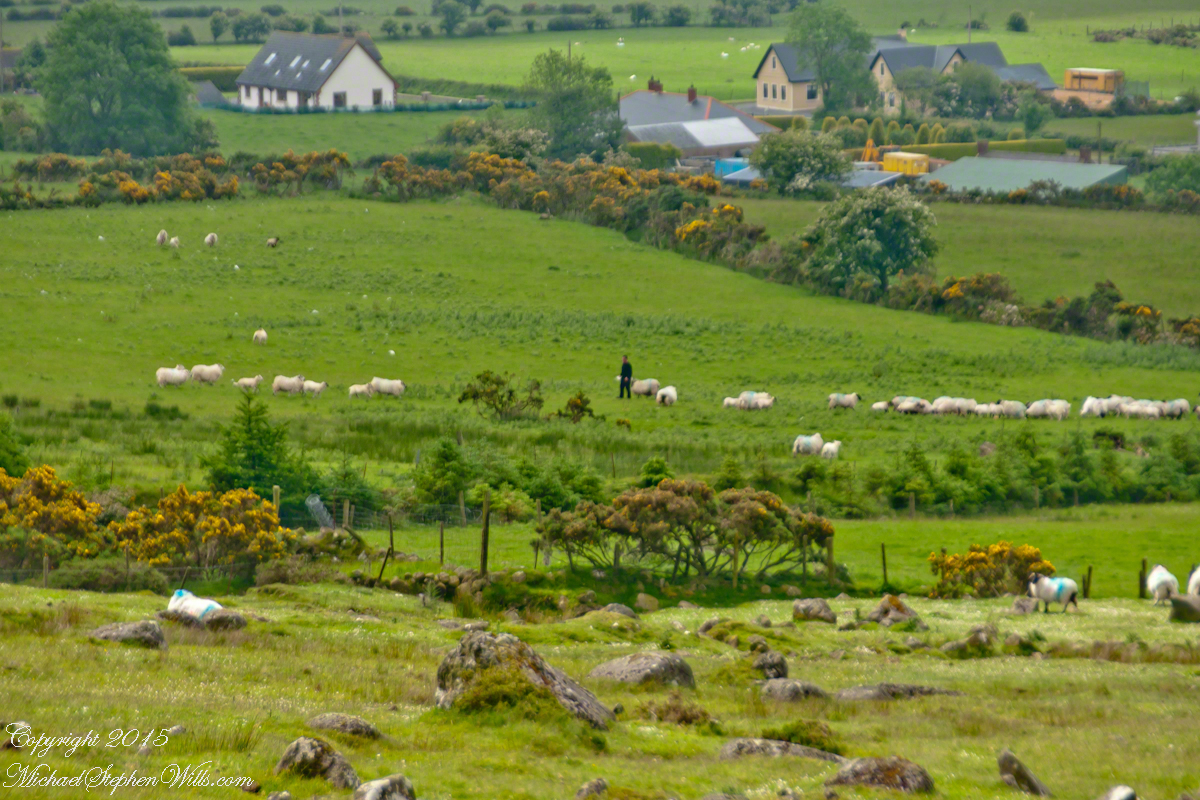
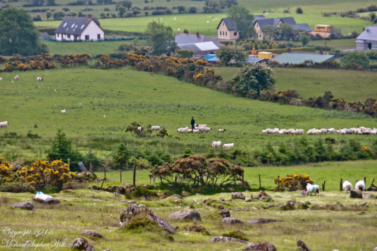
Farms are all about. Here a farmer attends to the flock. They know who he is.
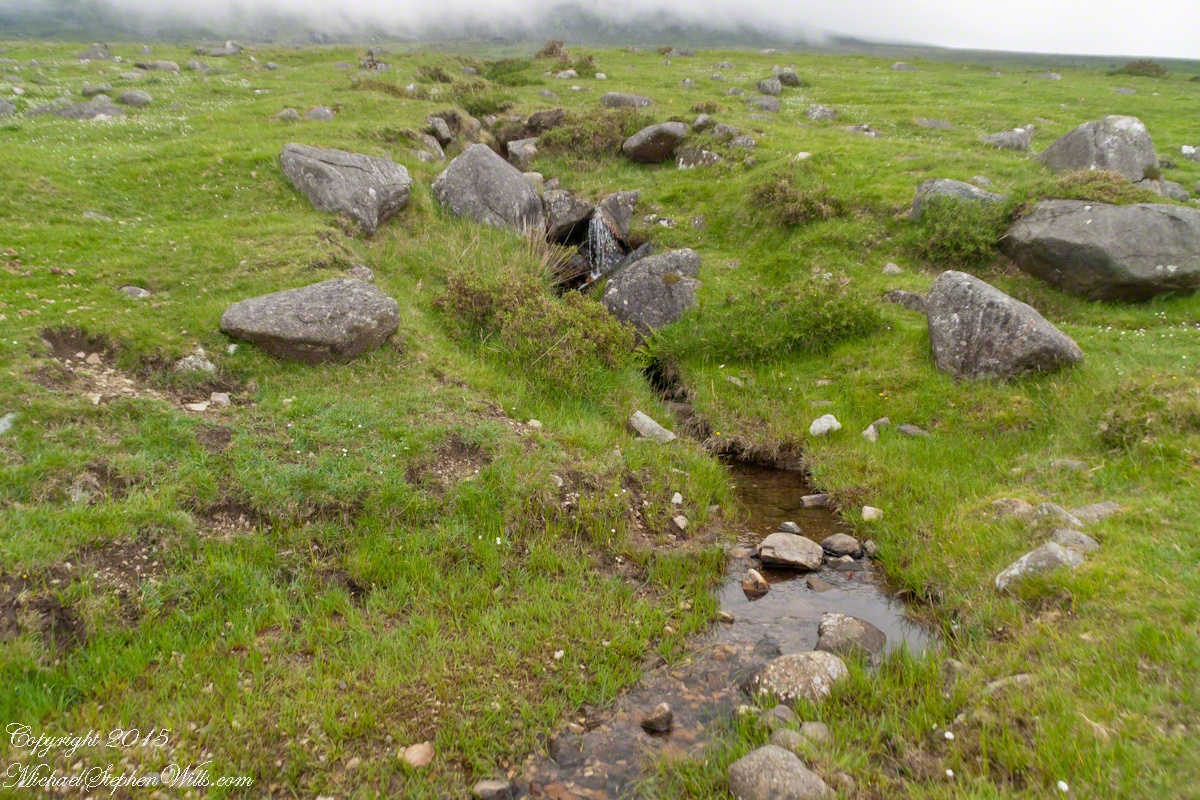
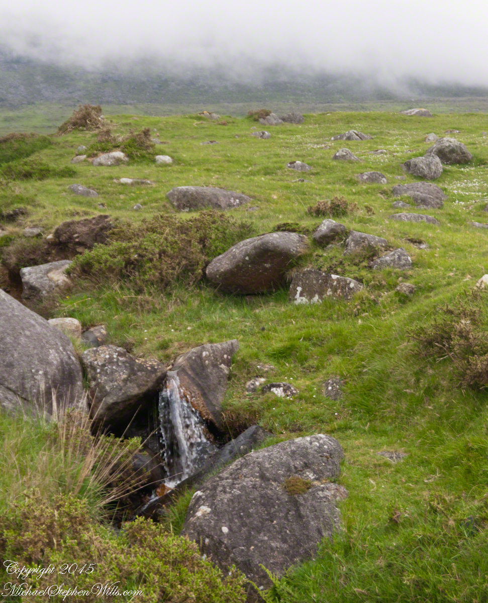
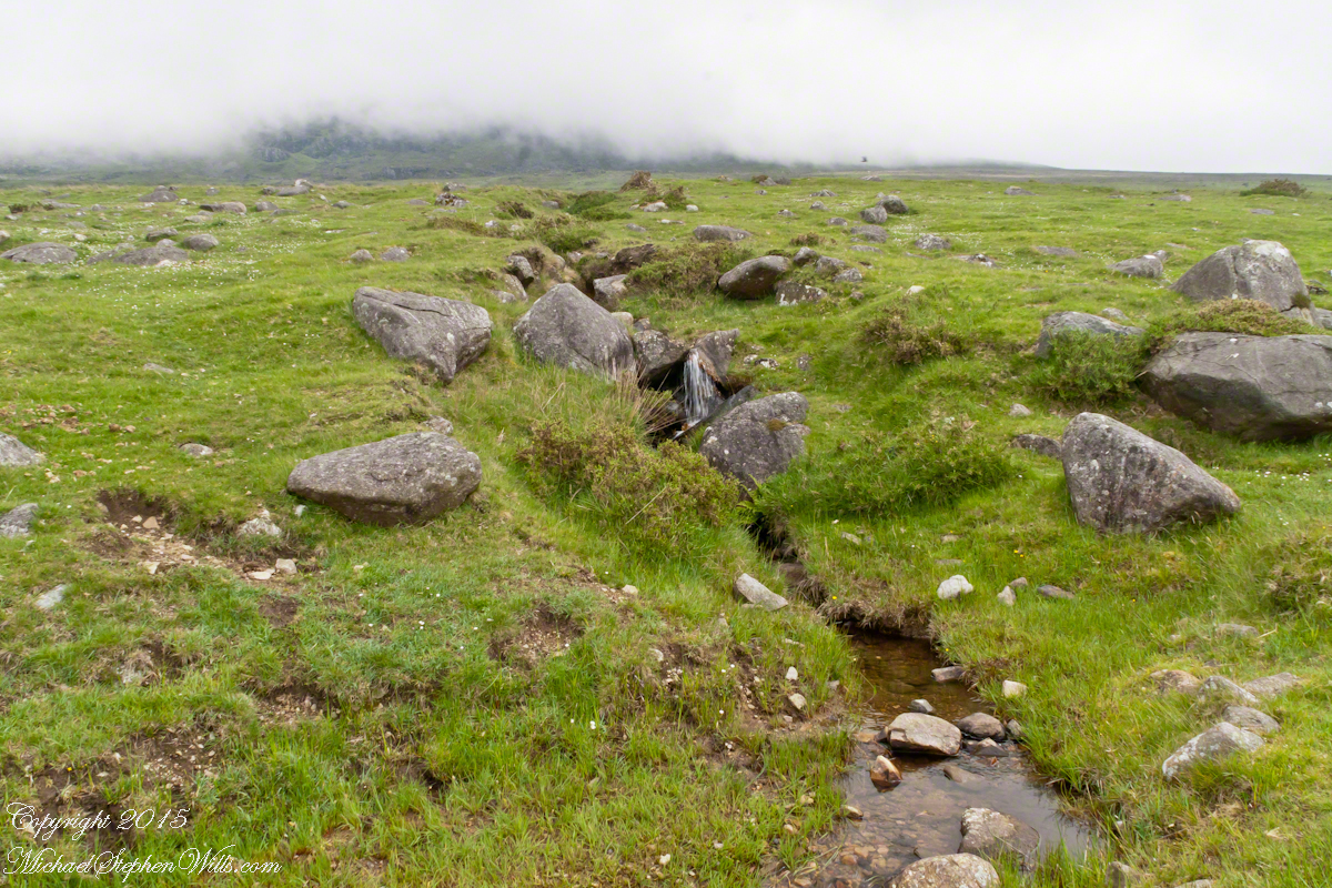
The lower slopes hold many small stream among granite stones.
I will continue with our walk on the Tain Way soon enough.
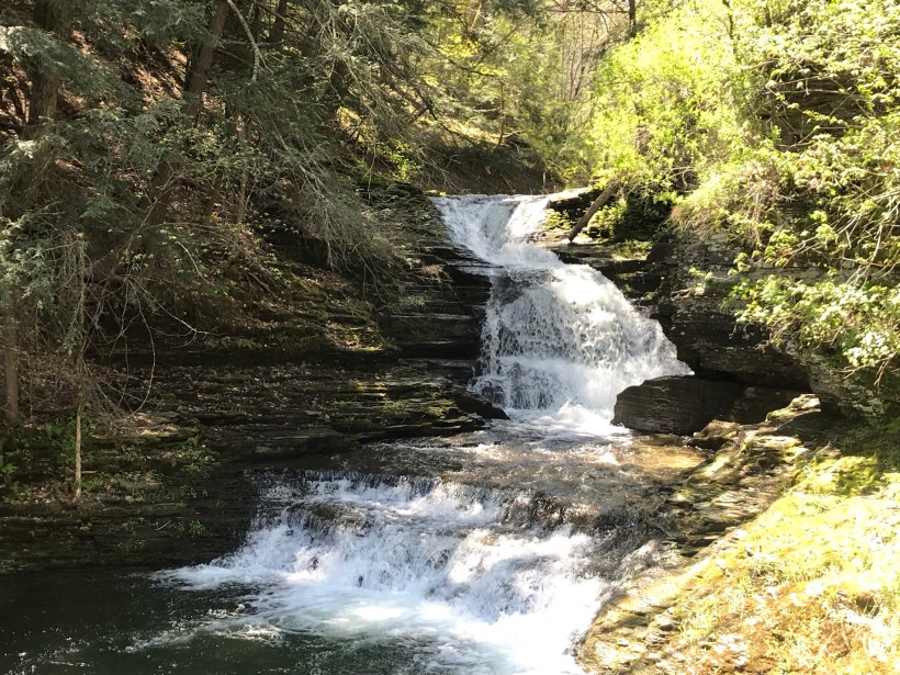
Summertime, reckless souls jump from the stone stairway into a cool water carved pool at the foot of these falls, one of my memories of the Treman Gorge Trail.
The Dry Creek dam is across the upper, eastern, end of Fillmore Glen. Historical records of the dam construction must exist someplace. My opinion is, somewhere in the federal bureaucracy there is a record proving this dam was constructed by Roosevelt’s Civilian Conservation Corps in the 1930’s. That is when the gorge trails were dramatically improved and it is logical a dam was necessary to control water flow during times of heavy rainfall and the spring thaw, to allow a full appreciation of the gorge beauty. It is a substantial concrete structure with cast iron controls, two spillways: one never, the second always flowing. This day the reservoir is full, frequented by beavers, stocked trout, herons, blue jays, crows, hermit thrush. The reservoir banks are thick with wildflowers of the season. This afternoon I noticed purple flowering raspberries: a past prime bloom or two, ripe fruit growing in the late afternoon shade on the south side of the dam.
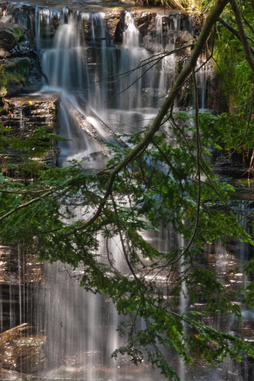
Unlike its name, Dry Creek is perennial, fed by a broad drainage of pastures, cornfields and forests. Year round the spillway runs, feeding into the gorge a constant, reliable supply of water for the many waterfalls for which Fillmore Glen State Park is known. The very first waterfall is on the rocks supporting the north side of the dam, formed where water from the spillway flows over these rocks into a deep, east west gorge overhung on the south side by mature hemlock trees.
I first encountered Fillmore Glen in the 1980’s with my young son, Sean. On Sundays he and I walked as far as he tolerated, about half way to the dam site, where the gorge makes a turn to the south, the trail on an unstable clay bank against a crumbling shale cliff. Rediscovering the park in the early 2000’s, along with my interest in photography, I noticed the waterfall just below the dam many times and admired it for how the water caught late afternoon light over the many grace points created by rock crags like a wedding cake. The angle from the dam path is wrong for capturing this effect. Today was a first for me to leave the safety of the dam path to climb into the gorge, on the south gorge wall, for a shot.
Here is a view of the spillway fall on a mid-August afternoon, 2017. My photography kit for this walk with my wife, Pam, was minimal: a Sony Alpha 700 with a variable lens, the flash and a Manfrotto carbon fiber tripod. For this version of the spillway I climbed into the gorge on the south wall, about 40 feet above the creek. A hemlock tree branch fell across the view, incorporated into the composition. These hemlocks are not a biological relative of the Socratic, poisonous, hemlock. The relationship is a similar aroma when the leaves are crushed. The f stop is cranked to 36, ISO set to 100 so slow exposure time to 1.6 second. Post shot processing via Photoshop.


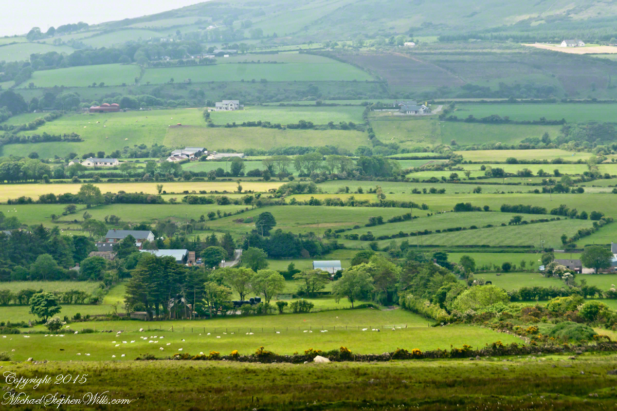


 The lower slopes hold many small stream among granite stones.