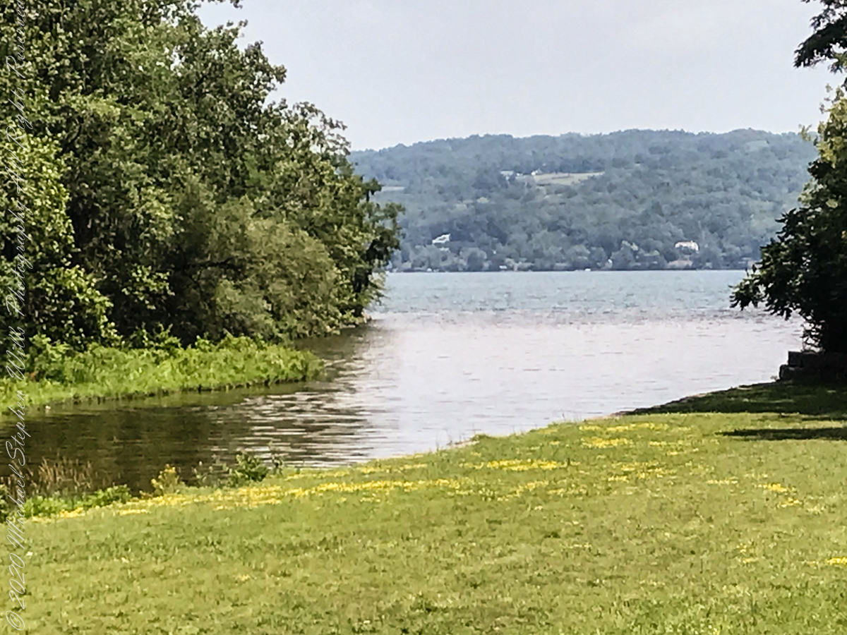
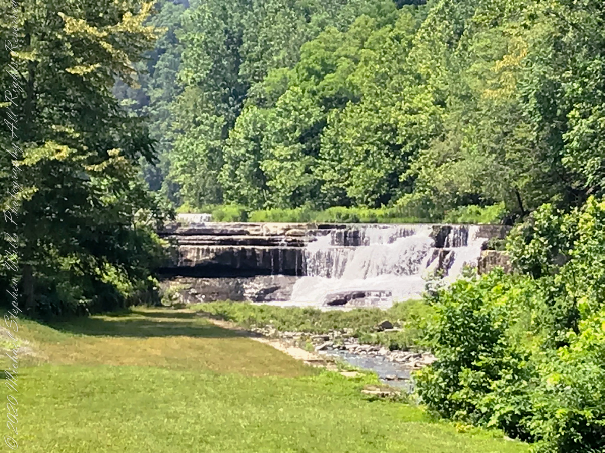
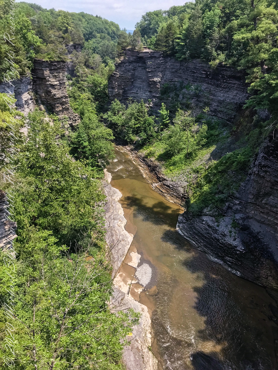
Capturing photographs and videos on the fly, we visited Fillmore Glen State Park, Moravia, New York with our granddaughter, Nia. This is Pam and my favorite park for the lack of crowds, variety of wildflowers and dramatic views.
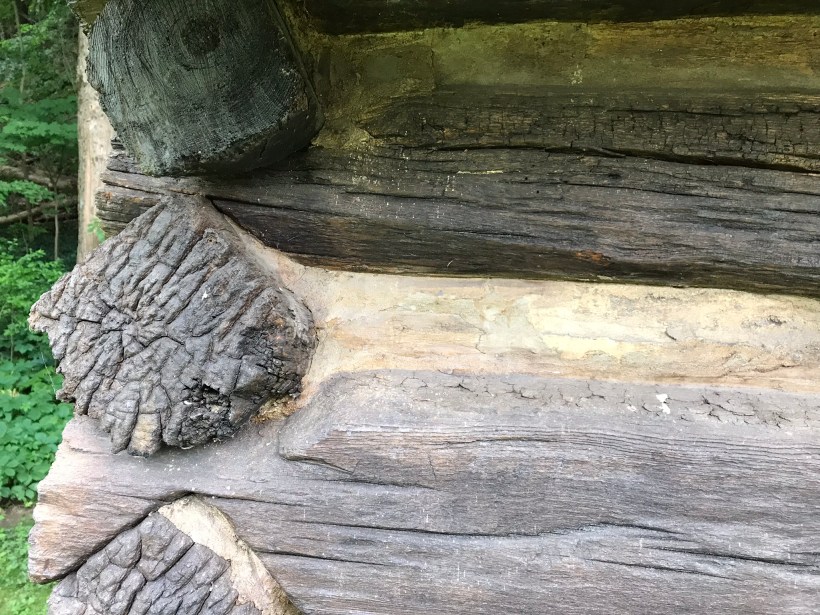
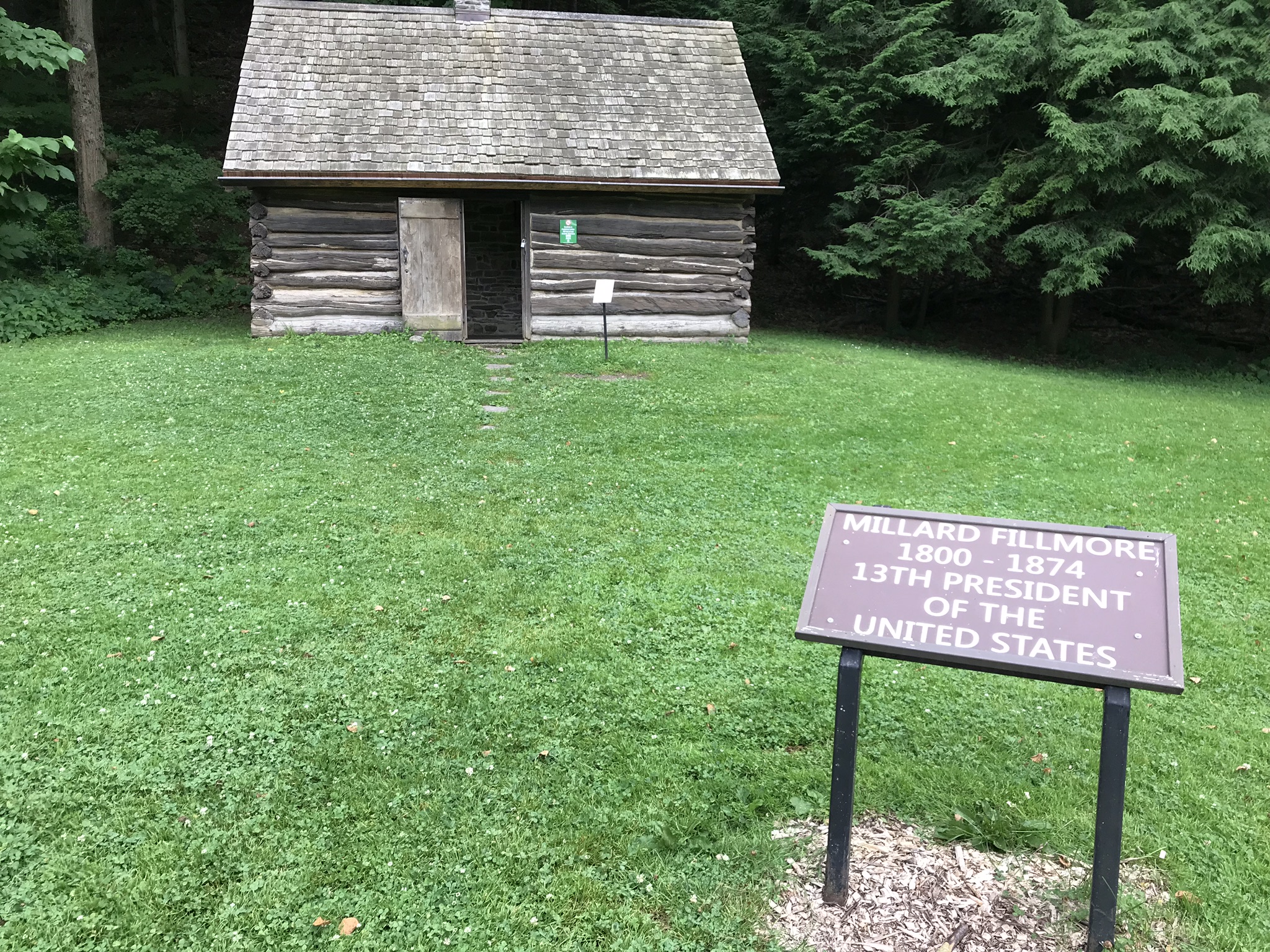
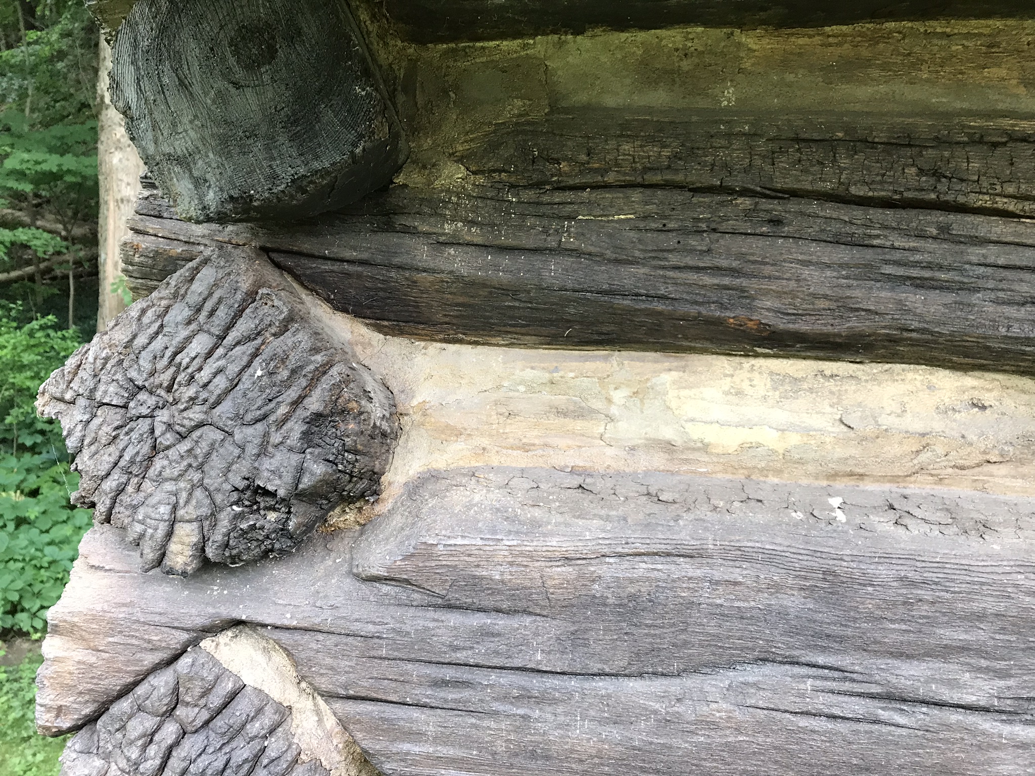
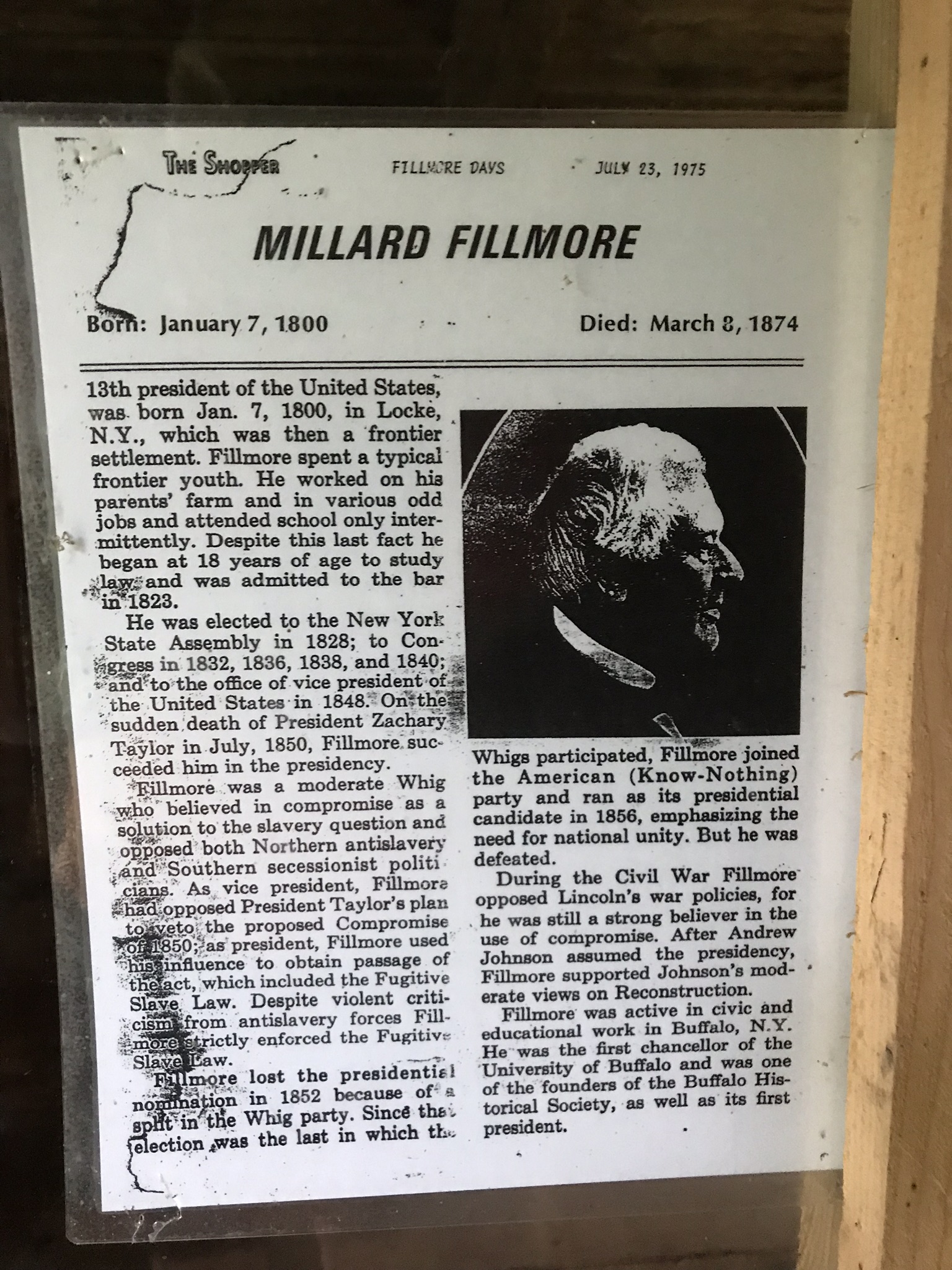
A the bottom of Gorge Trail, near the creek fed swimming pool, is a cabin moved to the park from a few miles away to commemorate an American President’s birthplace. Milllard Fillmore was born on the peneplain above the gorge of Dry Creek in a place called Locke, five miles from the modern park entrance. His birth cabin was destroyed in 1852, the land is dedicated to his memory with a monument. This cabin of a type identical was disassembled and reconstructed on this spot in 1965 by the Millard Fillmore Memorial Association.
The 480 square foot (20 by 24 feet) original (the rebuild is a bit smaller) had a central fireplace and and will chinked logs, a ceiling of simple planks.
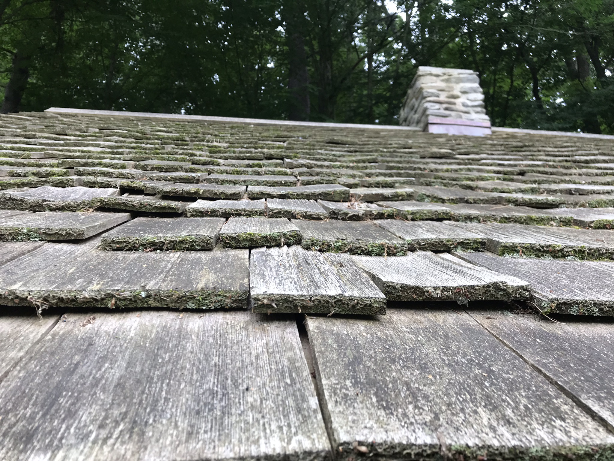
The cedar shingles were hand made, as were the nails.
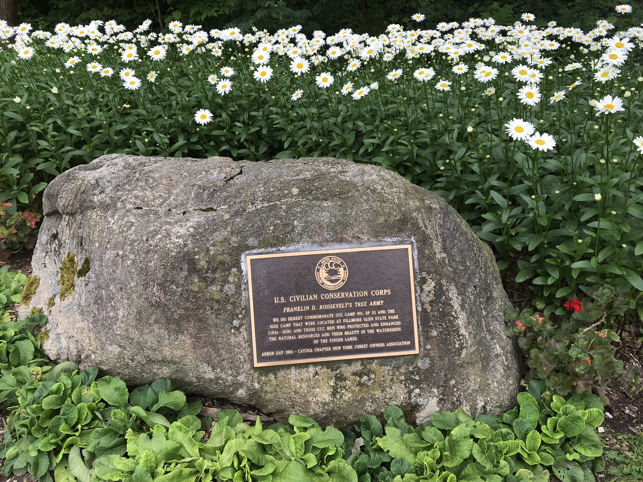
More information on a display inside the cabin.A few feet away is a memorial to Franklin D. Roosevelt’s Civilian Conservation Corps. We can thank them for building much of the park infrastructure we depend upon today.
Copyright 2021 Michael Stephen Wills All Rights Reserved.
Capturing photographs and videos on the fly, we visited Fillmore Glen State Park, Moravia, New York with our granddaughter, Nia. This is Pam and my favorite park for the lack of crowds, variety of wildflowers and dramatic views.
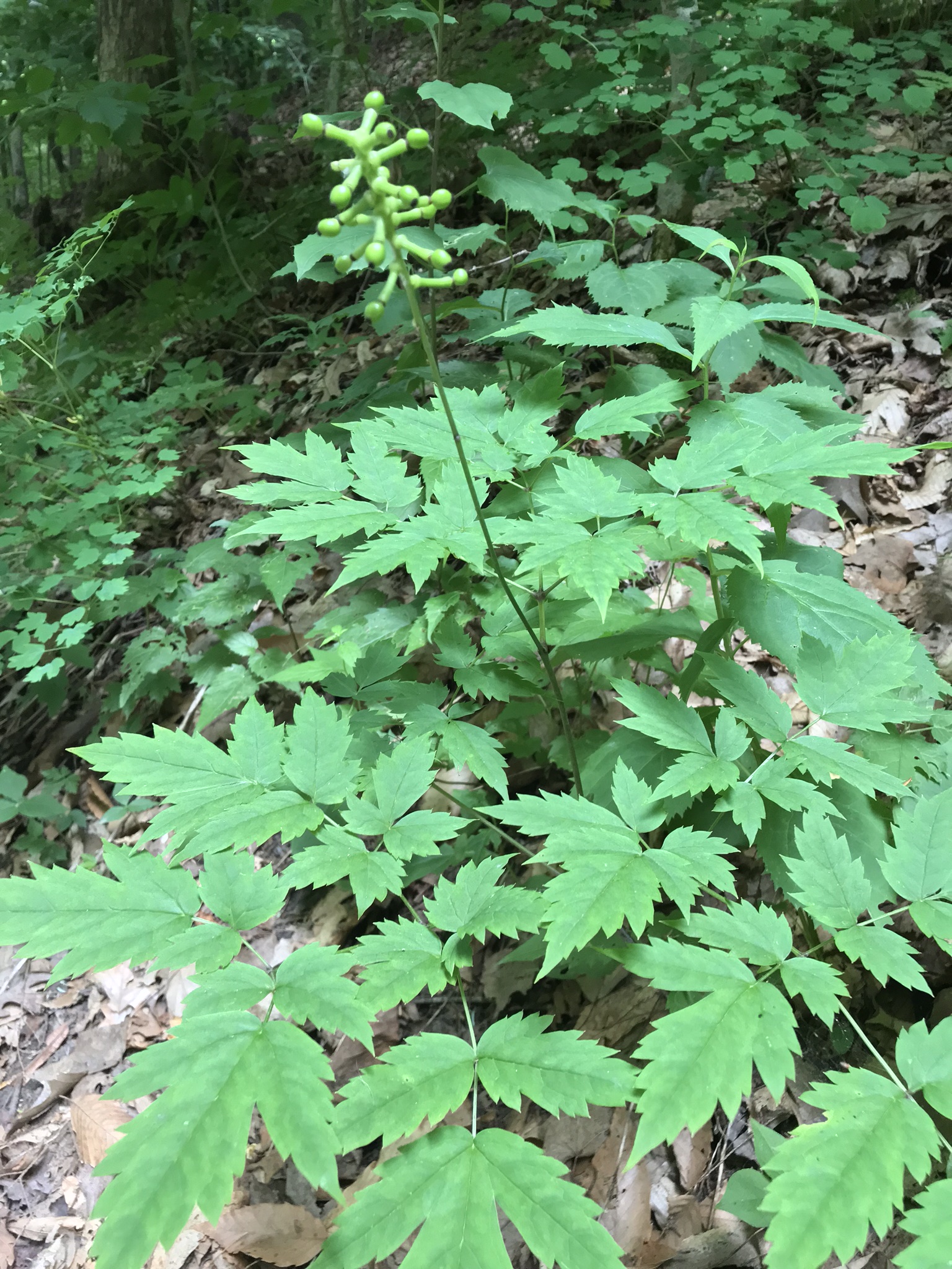
Growing near Cowsheds Waterfall, at the foot of Gorge Trail, was this strange fruiting wildflower so like a modular space station. It is Baneberry. There are white and red forms. This is white Baneberry (Actaea pachypoda). These terminal round nodes resolve into white balls with black dots, like dolls eyes. The cylindrical connectors (as in space station) turn bright red. Red Baneberry (Actaea rubra) has bright red berries. The flower is a fluffy white mass that gives no hint of the seed form.
All parts of both forms are highly poisonous, the bane of Baneberry. The berries are deadly. Ingestion of as few as two berries by children will cause death from cardiac arrest. Six for an adult.
Click any photograph for a larger view.
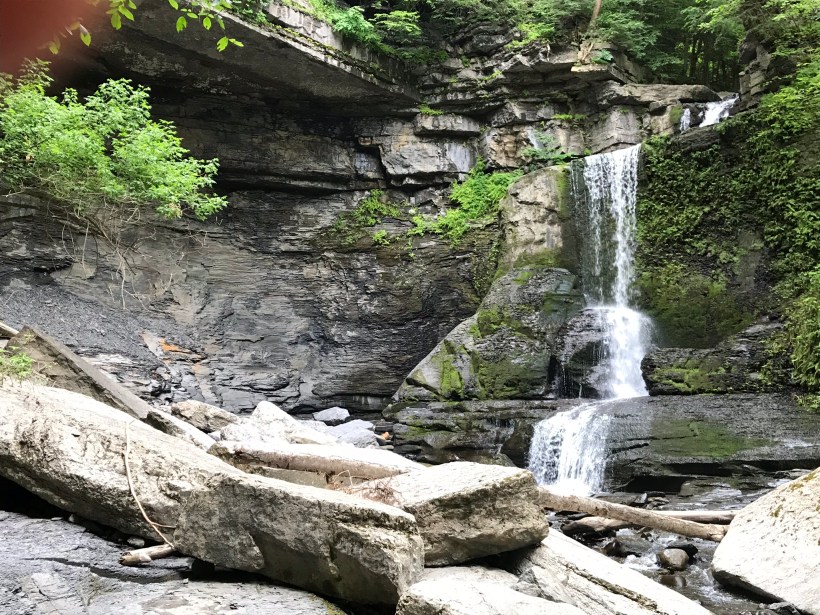
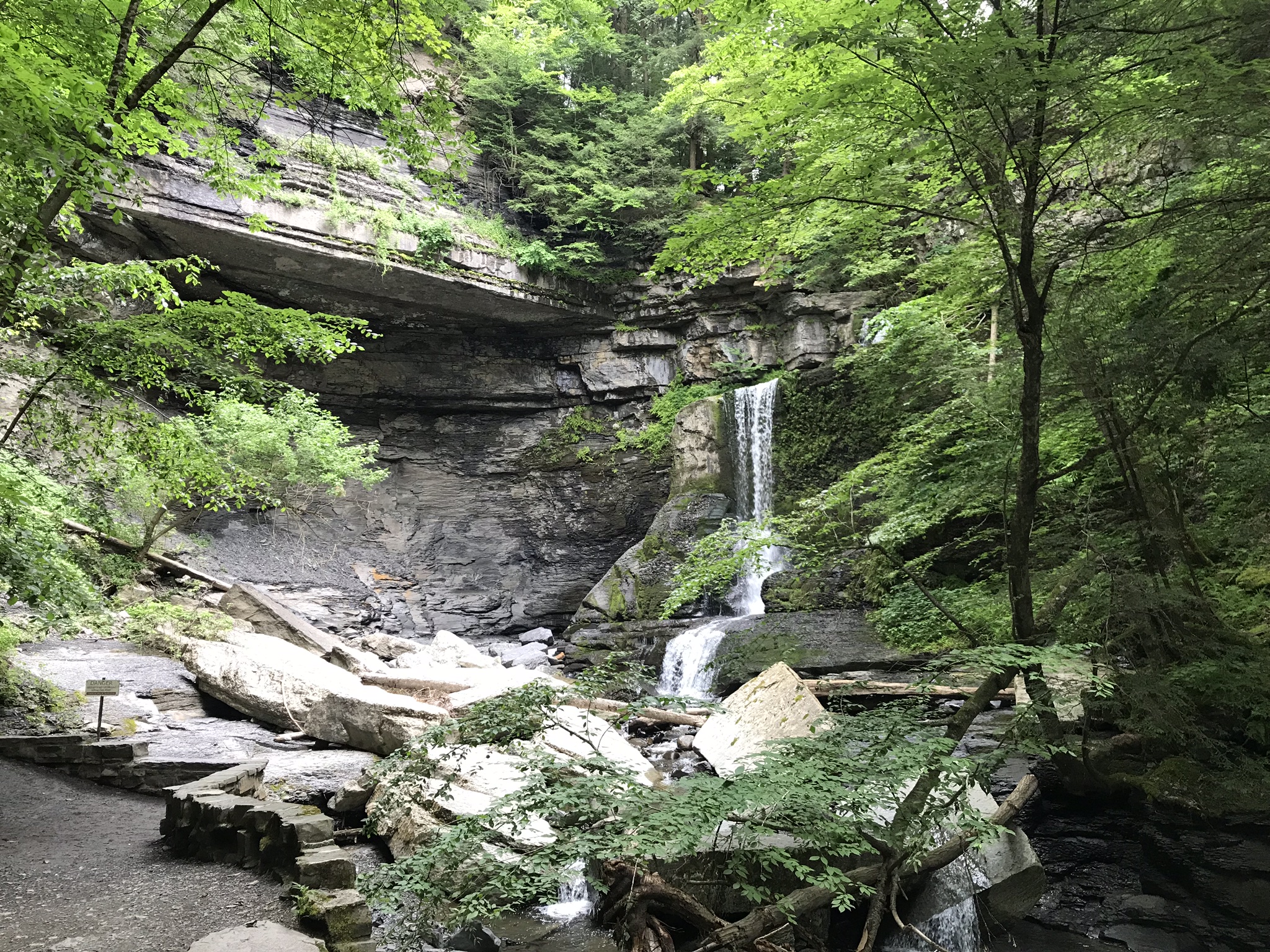
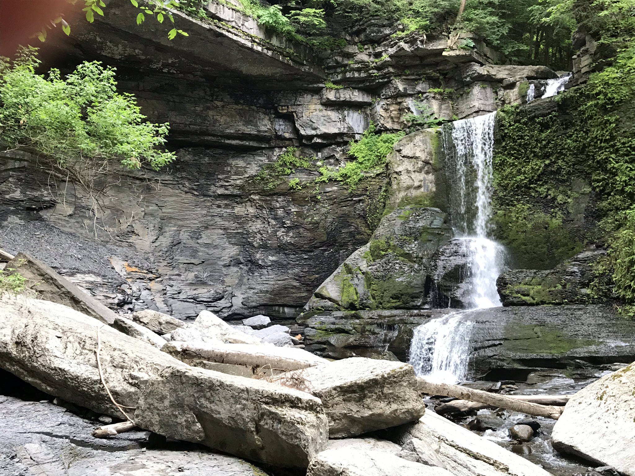
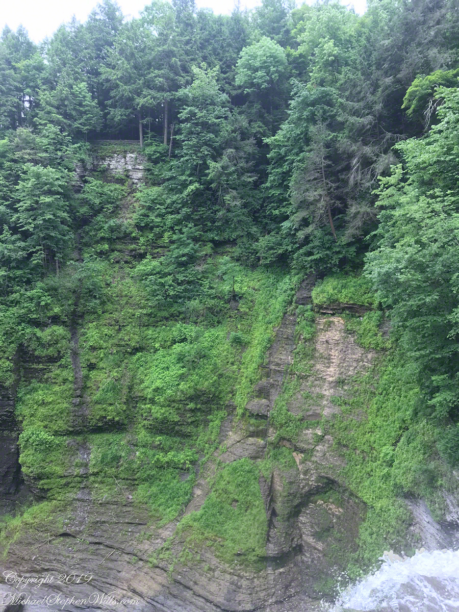
Cowsheds Waterfall is littered with enormous limestone blocks, remnants of a shelf. The rock under the limestone, a soft shale, is worn away first by running water forming a room (or Cowshed) under the limestone. Eventually, the limstone falls into the creek. The waterfall is at the end of a blind canyon with a sign at a trail end warning visitors to go no further. Careless visitors to Finger Lakes Gorges are killed, on occasion, by falling rock when they loiter beneath cliffs.
Travelling light, using IPhone captures during a 4.6 mile walk on the Gorge and North and South Rim Trails of Taughannock Falls New York State Park, Finger Lakes Region near Ithaca, New York. A few waterfalls and sights along the way. Distance is from the “Health” app on my phone.
A “Rim Trail” follows the edge of the gorge. The “Gorge Trail” is within the gorge, along side the creek and ends at the 200+ foot waterfall.
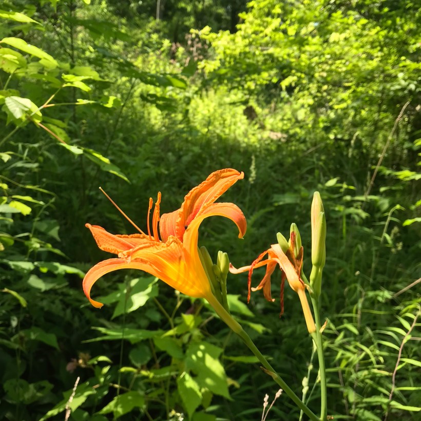
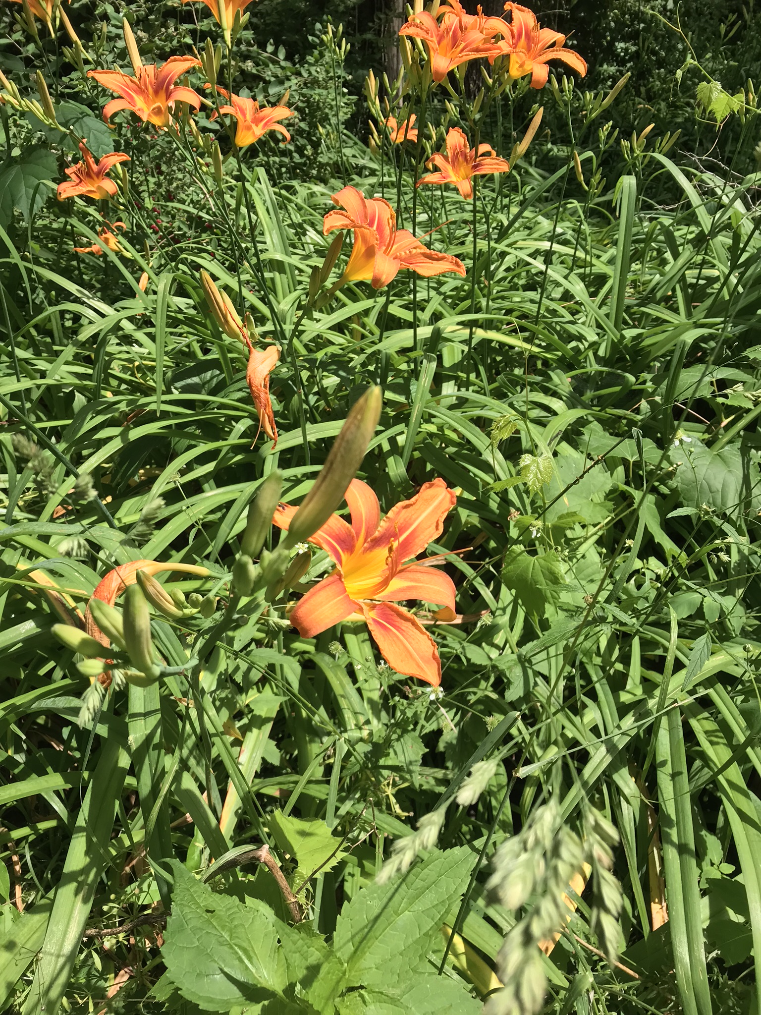
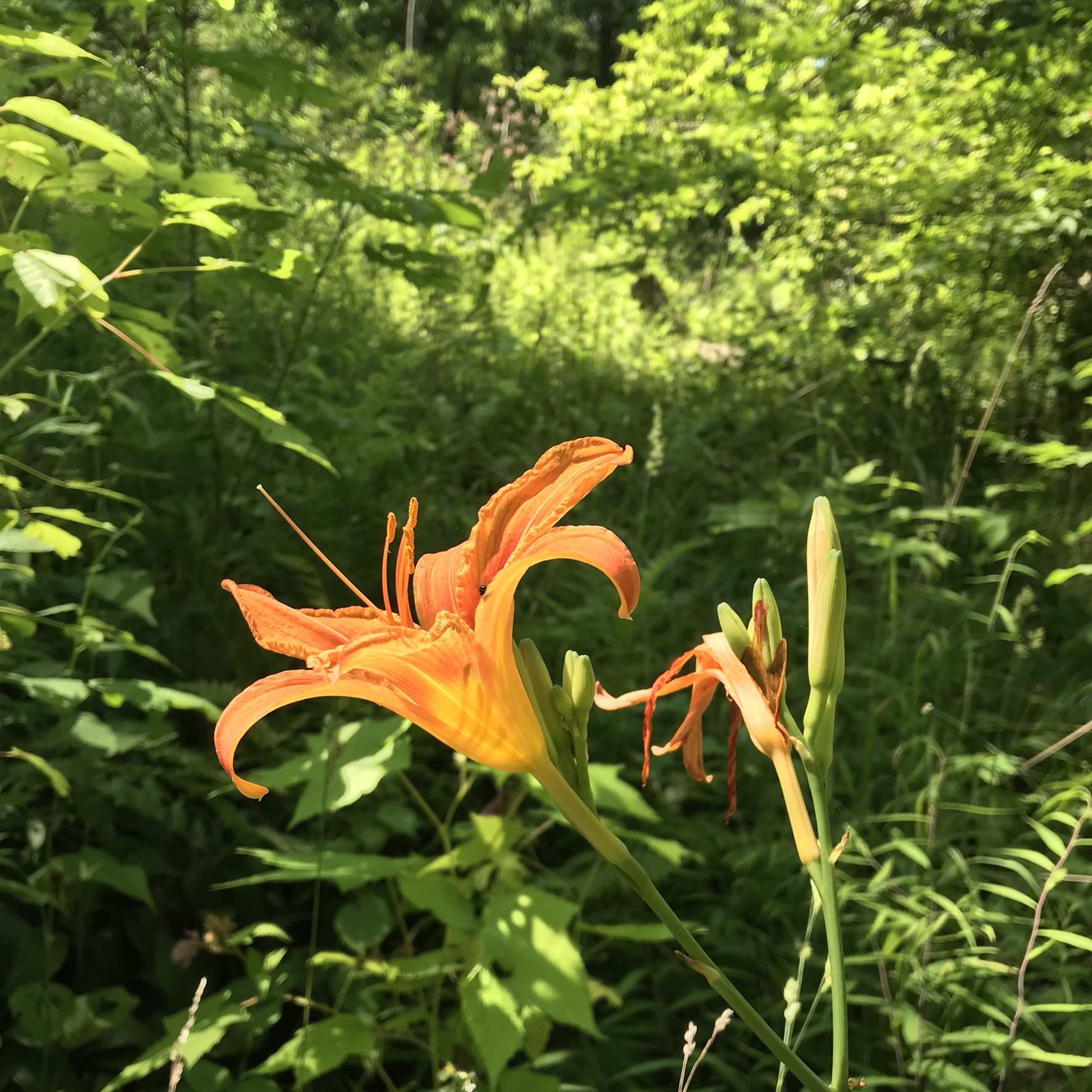
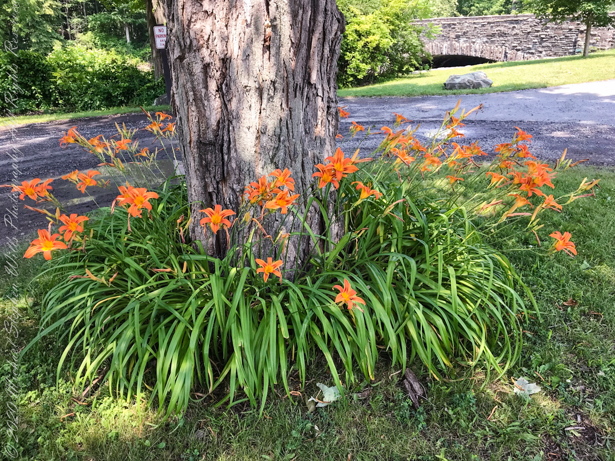
This was the day Tiger Lilies bloomed along the roads the entire 13 miles. This stand was at the beginning of the South Rim trail.
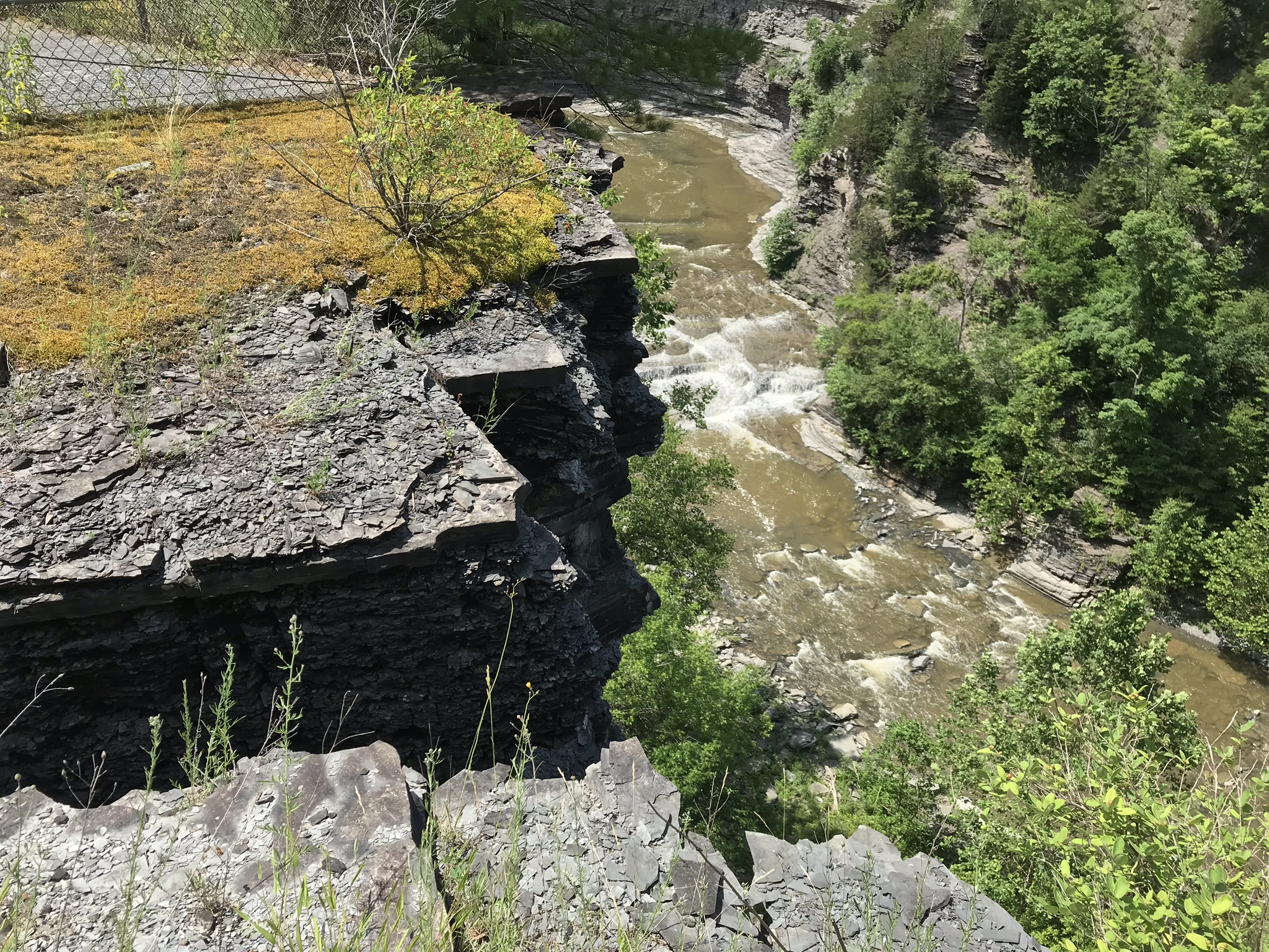
A few steps farther the trail opens up to the expanse of the gorge above the waterfall, a place to contemplate the age of these rock gazing into the open space. There is no access to the bottom of the gorge here.
On days like this, the experience carries me away, enjoying the moments and forgetting the phone in my pocket. When I come to, it is the bottom of the South Rim trail at the entrance to the Gorge Trail and the hordes walking to the falls on a Sunday afternoon. This waterfall welcomes everyone at the beginning.
The vantages I choose usually exclude the crowds, here is a video of the observation platform beneath the 215 foot Taughannock Falls. Any closer and the camera lens is covered with mist. Feels great on this hot day.
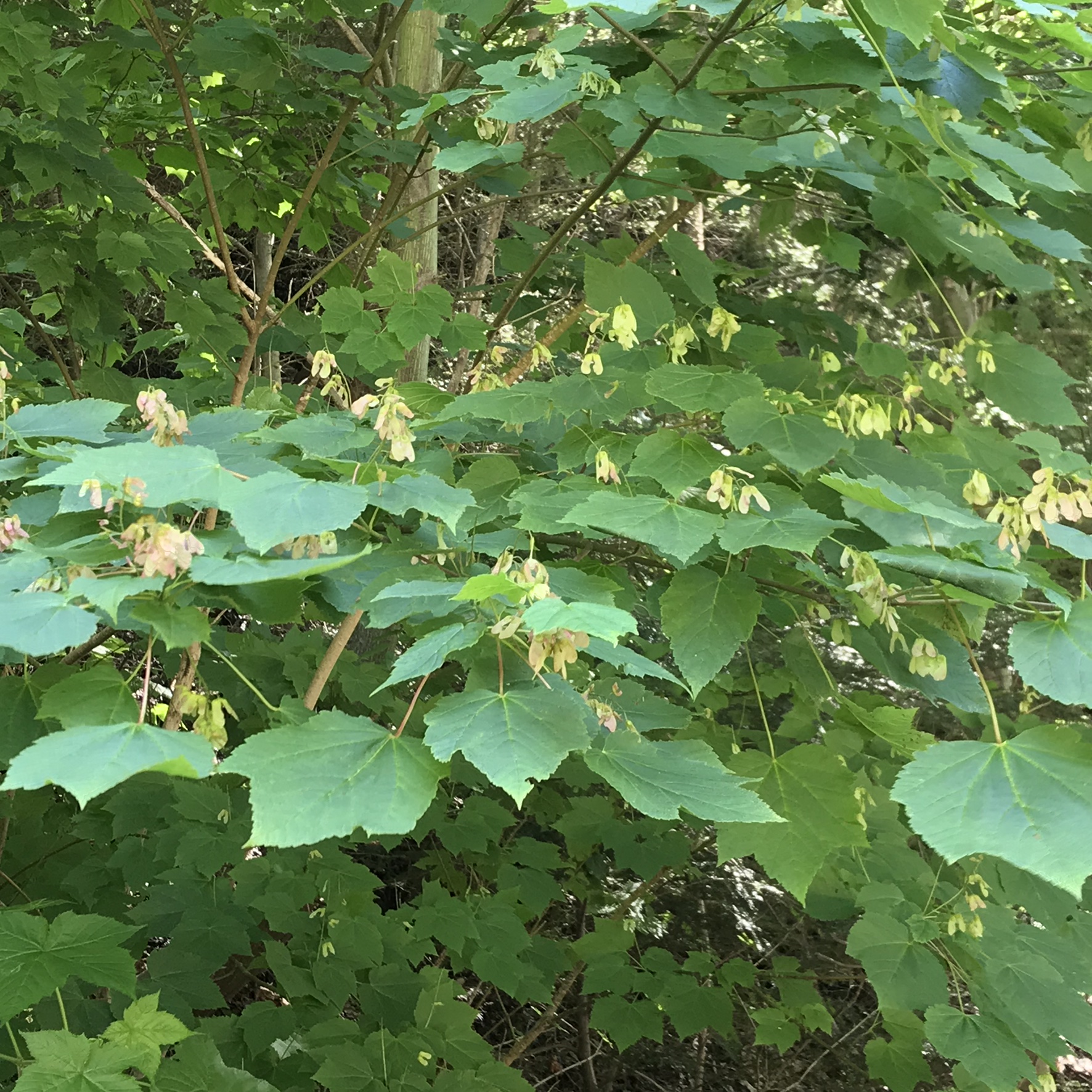
I capture this tree growing along the Gorge Trail for later identification. It has fruits similar to a maple tree. Called samaras and also known as helicopters, maple keys, whirlybirds, and polynoses these must distinguish this tree as a member of the genus Acer though the leaf shape gives me doubts. Here the gorge changes direction almost 90 degrees from, generally, north/south to east/west. There is plenty of sunlight here and the tree has taken root in the talus of the cliff face.
I researched it and discovered the scientific name is Acer pensylvanicum and more commonly known as Moosewood. There is a “famous” restaurant in Ithaca, named Moosewood, so now I know there is indeed a tree growing locally by that name. The restaurant is near the commons of Ithaca and is 100% vegetarian. The last time Pam and I at there we were packed like sardines, like some collective, and we’ve never been back. The food is good and the basis of their fame is a cookbook by the same name.
Backlit lilies found on the climb up the North Rim trail.
Travelling light, using IPhone captures during a 5.7 mile walk on the Gorge and South Rim Trails of Robert H. Treman New York State Park, Finger Lakes Region near Ithaca, New York. A few waterfalls and sights along the way. Distance is from the “Health” app on my phone.
One of many waterfalls along the Gorge TrailLooking back to the above waterfallEnchanted Trail
Birdsong and enchanted placeBayberry?The power of flowing water (flood stage)
Hurricane Katrina approached the Gulf Coast and New Orleans as the sun rose on the West End of Jones Beach on Long Island, August 28, 2005. This amazing sunrise was an element of the unusual atmospheric effects that are evidence of the power of this storm.
The featured image (heading this blog) is my print, “Katrina Sunrise”. This work is enjoyed by hundreds of my clients. Use the link, below, to acquire your own. Custom framing is available.
The following images are the rough drafts taken in the early morning hours. The beach was literally deserted as I mounted the camera and framed the view for this series. Many image captions include the file time stamp, for example 6:07:13 is 6 am and 7 minutes 13 seconds.
6:07:13 First image of the set. Below the horizon the sun lights the upper atmosphere.6:07:34 As the sun approaches the horizon the lower clouds catch light. My Camera was a Sony DSC-F828 tripod mounted with a polarizing filter.6:07:56 I panned slightly to the east. ISO was set to 64 throughout.6:08:16 Gradual brightening. The lens is 7.1 – 51.0 mm f/2.0-2.8.6:08:38 All levels are brighter. It seems those low clouds will block the horizon. That was not the case. The variable focal length is 15.6 mm.6:09:05 It is happening!!!! Exposure was set to automatic on a f stop of 8.0. It was 1/3 second for this image.6:14:34 The view is panned west. That is the Robert Moses water tower of Jones Beach State Park looking like a rocket ready to blast off.6:15:15 Will those low clouds block the sun? Looks promising.6:16:11 Clouds on the upper margin catching the sun. Horizon brightening….. Exposure 1/20 second.6:14:39 This will be a disappointment if that sun does not show. Exposure 1/25 second.6:18:27 Almost there….1/15 second exposure….6:19:07 Quick framing adjustment to bring the lighting of shore margin into the composition. The final version was created from two images captured seconds after this.As the sun rose a rainbow formed in the western sky.
In the nature of fame, today Watkins Glen is the best known of the Finger Lakes State Parks. The International Speedway of that name enhanced and amplified name recognition during the post war years. Founded in 1948, the course used public roads of the town until the inevitable happened, an accident and the death of a seven year old child in a group of sidewalk spectators when a racer lost control.
The glen predates the race by 12,000+ years formed at that time from glaciation using materials from distant eons . Watkins Glen was known as a tourist attraction from the 19th century for the resort hotel on the south gorge rim, acquired and developed by New York State in the first years of the 20th century.
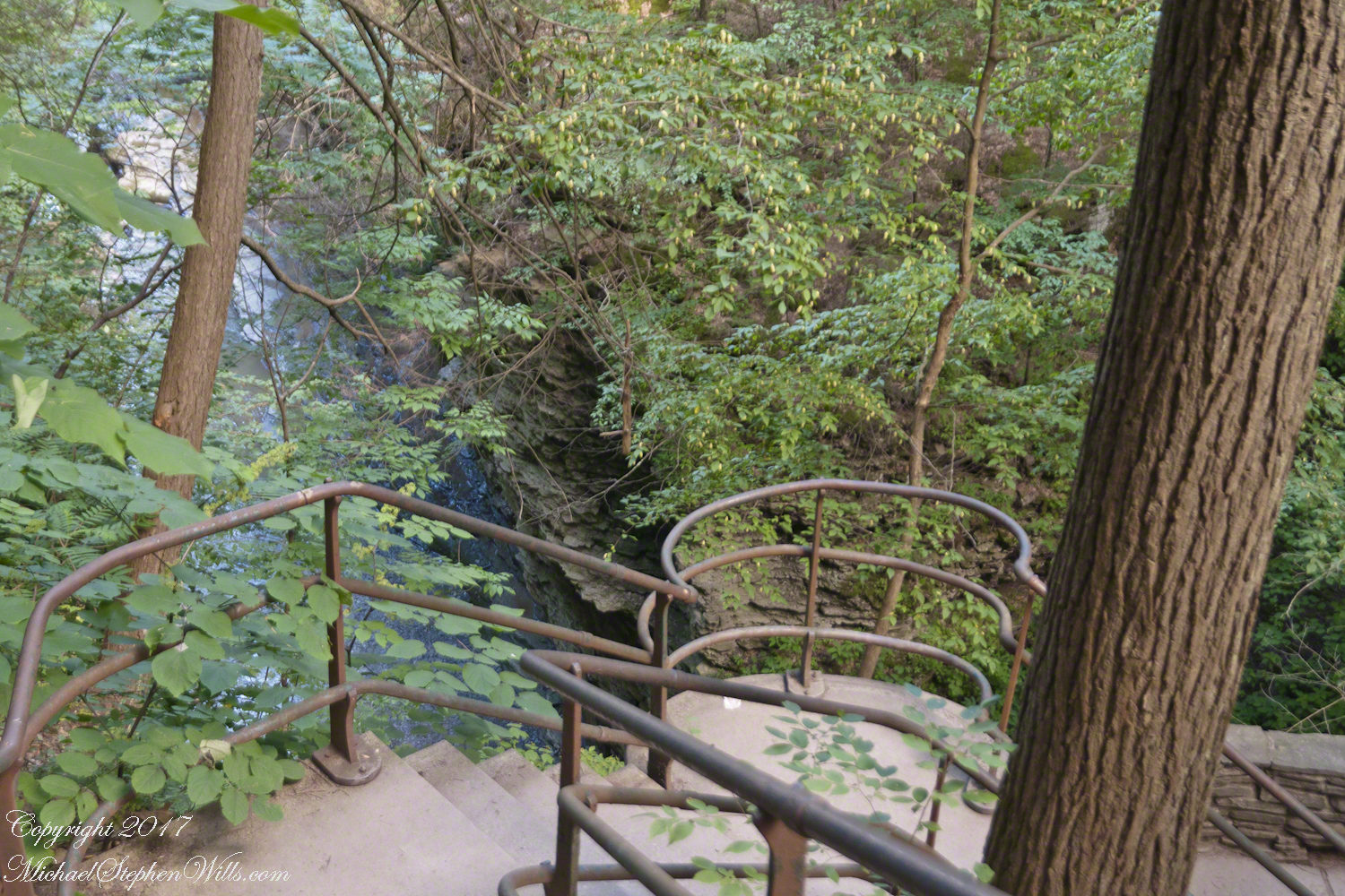
From a gate off “Lovers Lane” a sturdy flight of concrete steps with custom made handrails lead to an observation platform over the gorge. This feature will be known to many future generations……
…….the fine grained concrete is worthy of a Roman wall, the heavy iron handrails were built to specification as flowing curves unlike what is done today: built as modules and accommodated on site.
In the 20th century the fame of Watkins Glen attracted the road race, the popularity of racing enhanced park attendance. Today, the gorge trail of crowded summer weekends. On Tuesday, August 1, 2017 Pam packed a picnic lunch and we made a late start for a weekday visit. The upper entrance is enhanced by mature trees, oak, elm, hemlocks. We had our picnic under these on a moldy picnic table enhanced with a green striped table cloth and fresh coffee.
Pam is my personal photographer. Here is an example of her work.
To give me my due, I did the driving and carried the 30+ pound pack into the gorge.
Pam captured me in position downstream from Rainbow Falls with a Manfrotto tripod with hydrostatic ball head on which is mounted a Canon EOS 1Ds Mark III and Canon EF 24mm f1.4 II USM lens, Tiffen nd 0.9 filter.
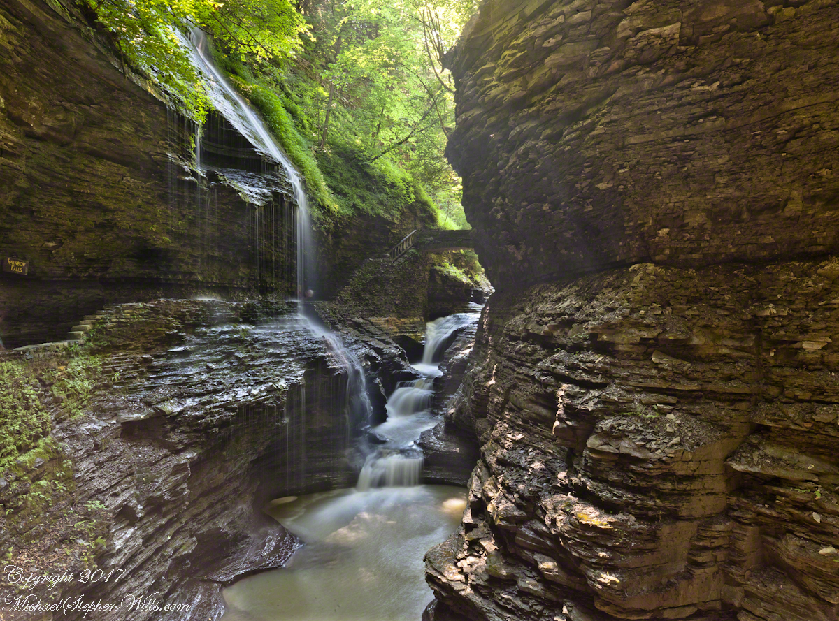
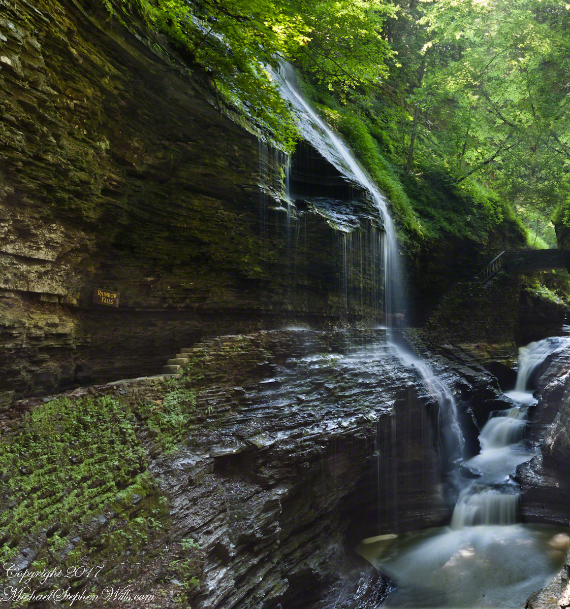
It was coming up to 4 pm eastern daylight savings time, the sun still high overhead. I needed to carefully choose a position for a frame in the wide angle lens without hot spots. Here are two results.
The sun was just of the gorge rim, to the right. Rainbow Falls forms from the tributary to Glen Creek cascading over the gorge walls.
Visitors walk under the falls where falling water eroded the soft, underlying stone to form an overhang.
Copyright 2021 Michael Stephen Wills All Rights Reserved
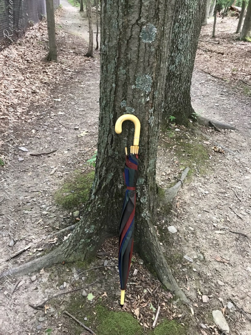
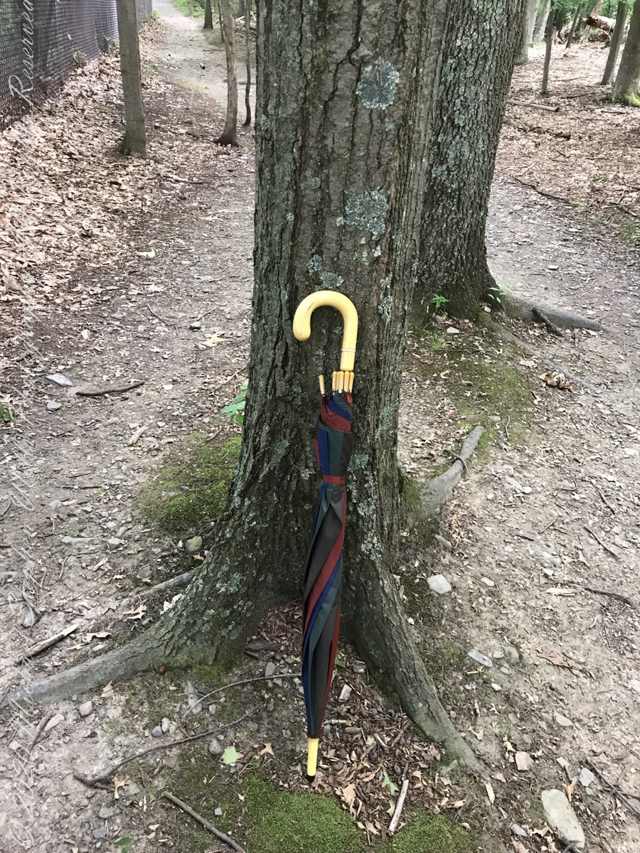
Constant winds from thunderstorm updrafts, I brought along an umbrella just in case.
Click photograph for slide show. To do this from WordPress Reader, you need to first click the title of this post to open a new page.
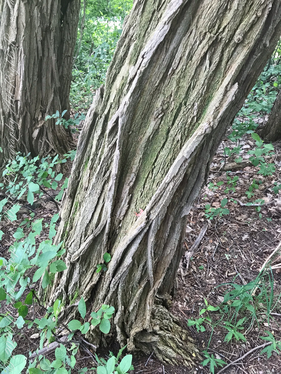
Maple Tree
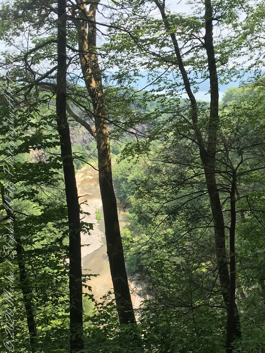
View from the South Rim Trail. The water flowing from Taughannock Falls to Cayuga Lake.
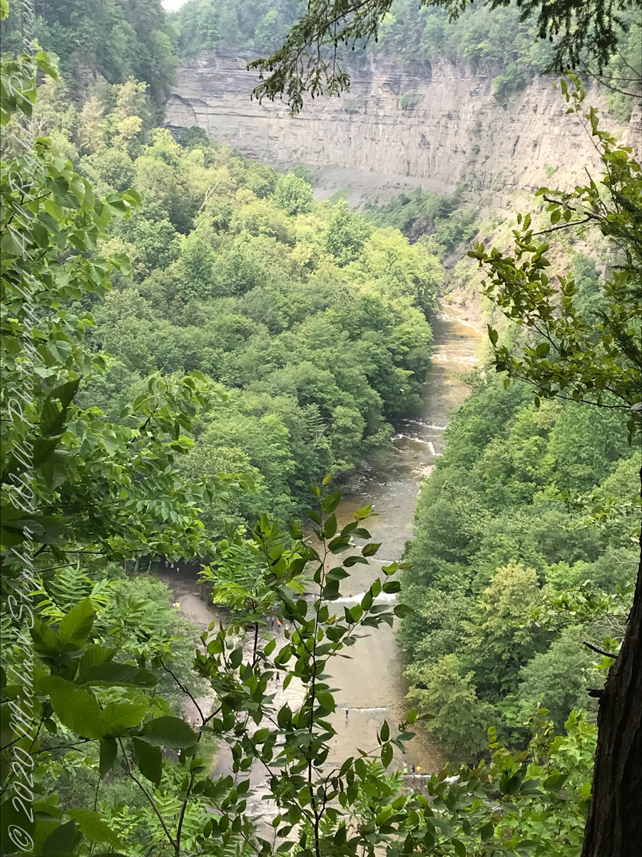
The steep, high gorge walls below the falls on a humid July morning.
gorge walls
My umbrella
Taughannock falls in distance
Taughannock Falls in distance
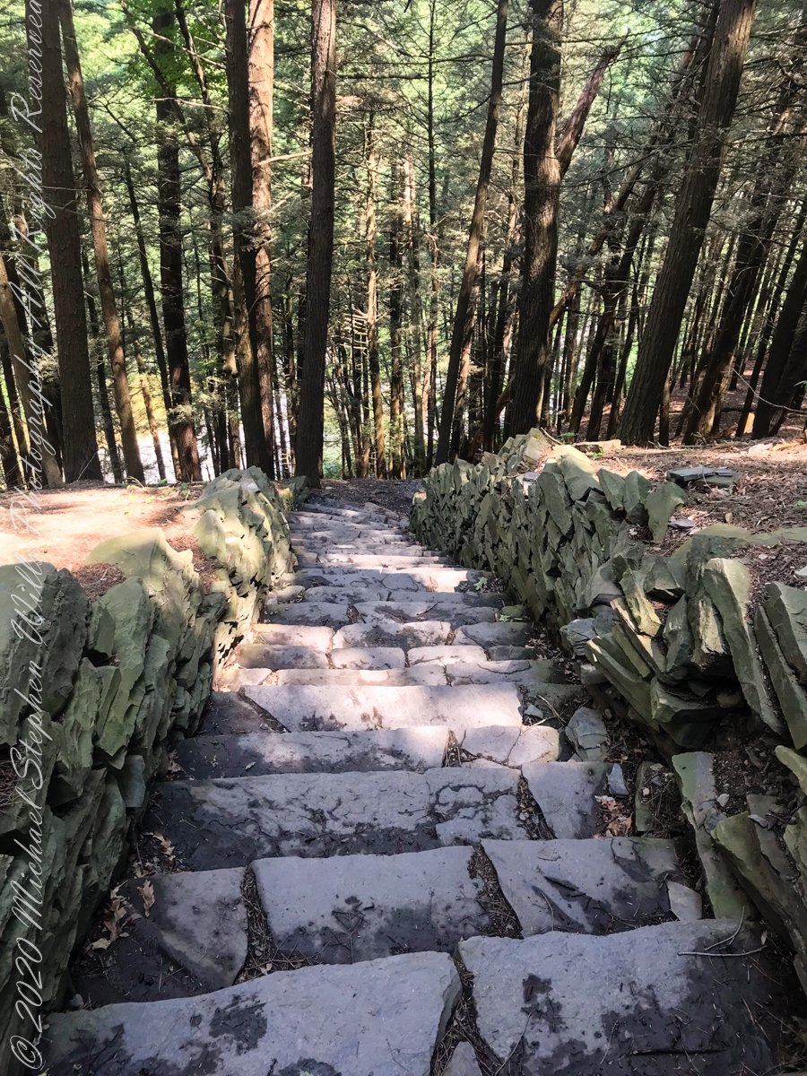
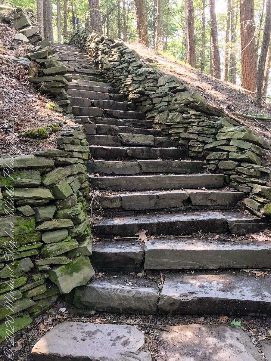
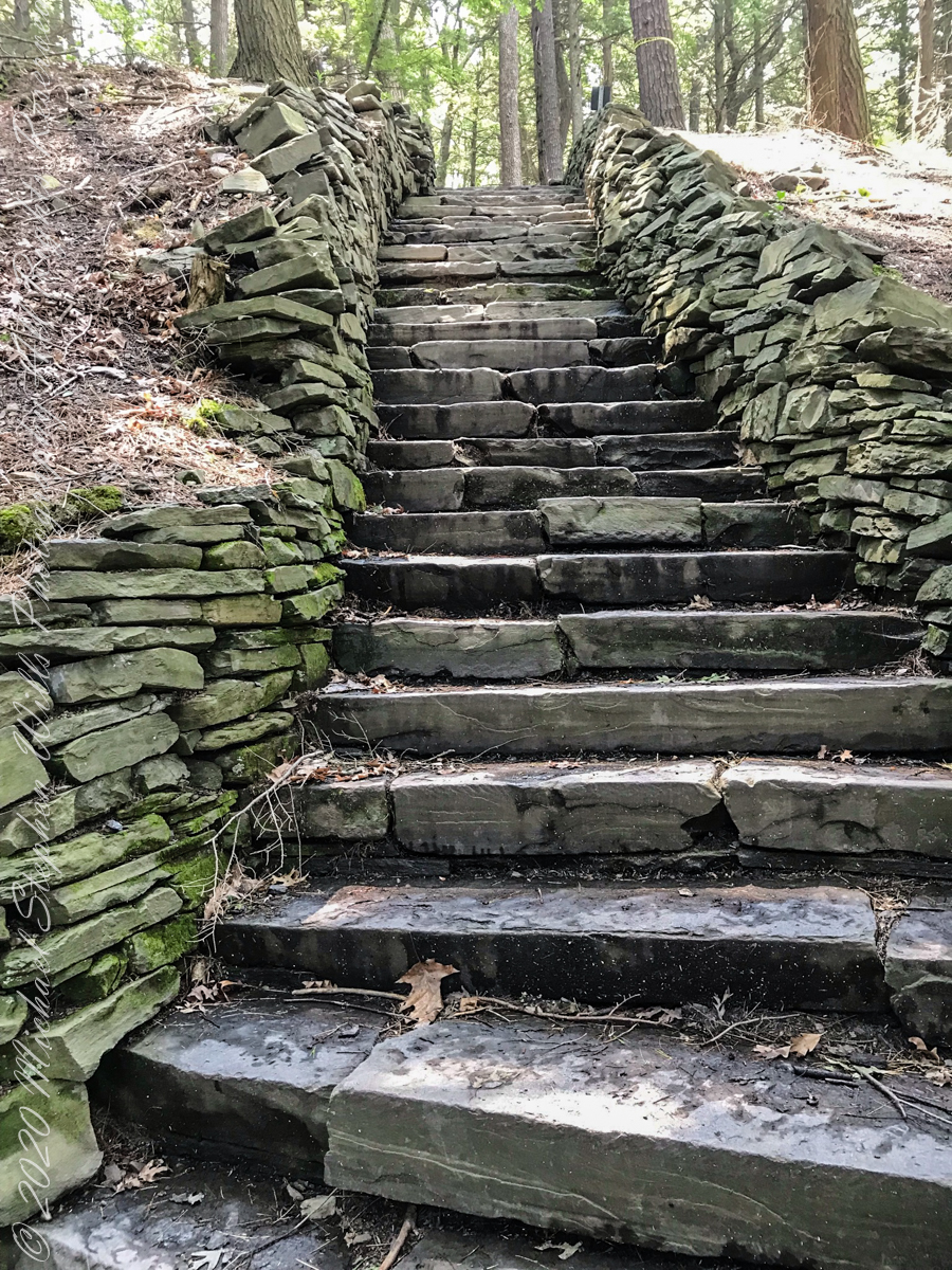
South Rim Stairs built by the Civilian Conservation Corps in the 1930’s
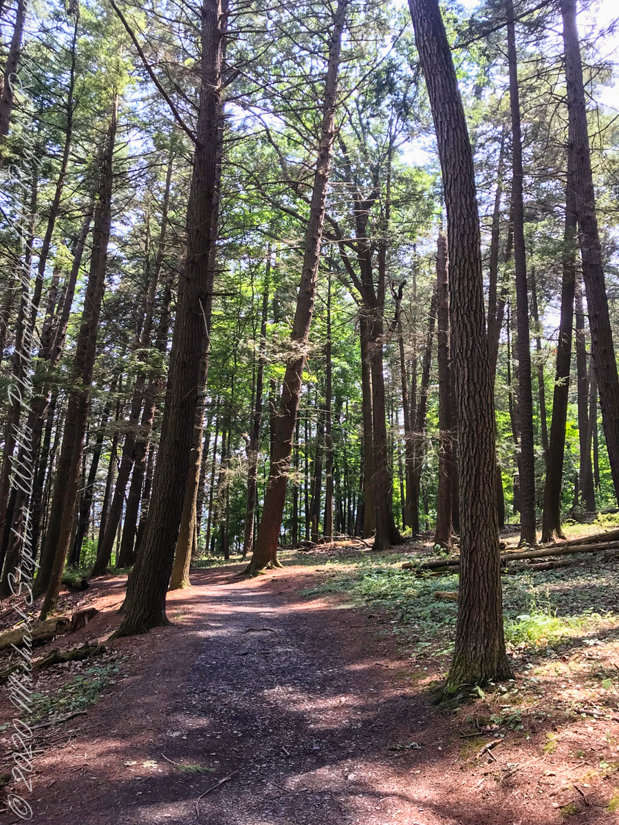
Pine Forest at foot of stairs
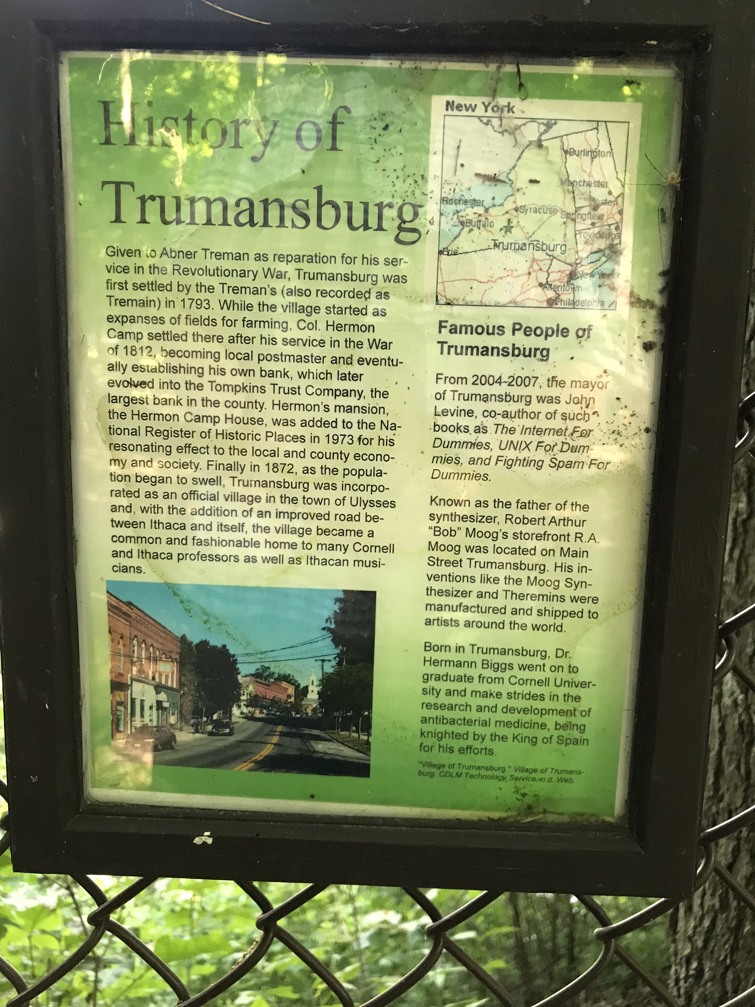
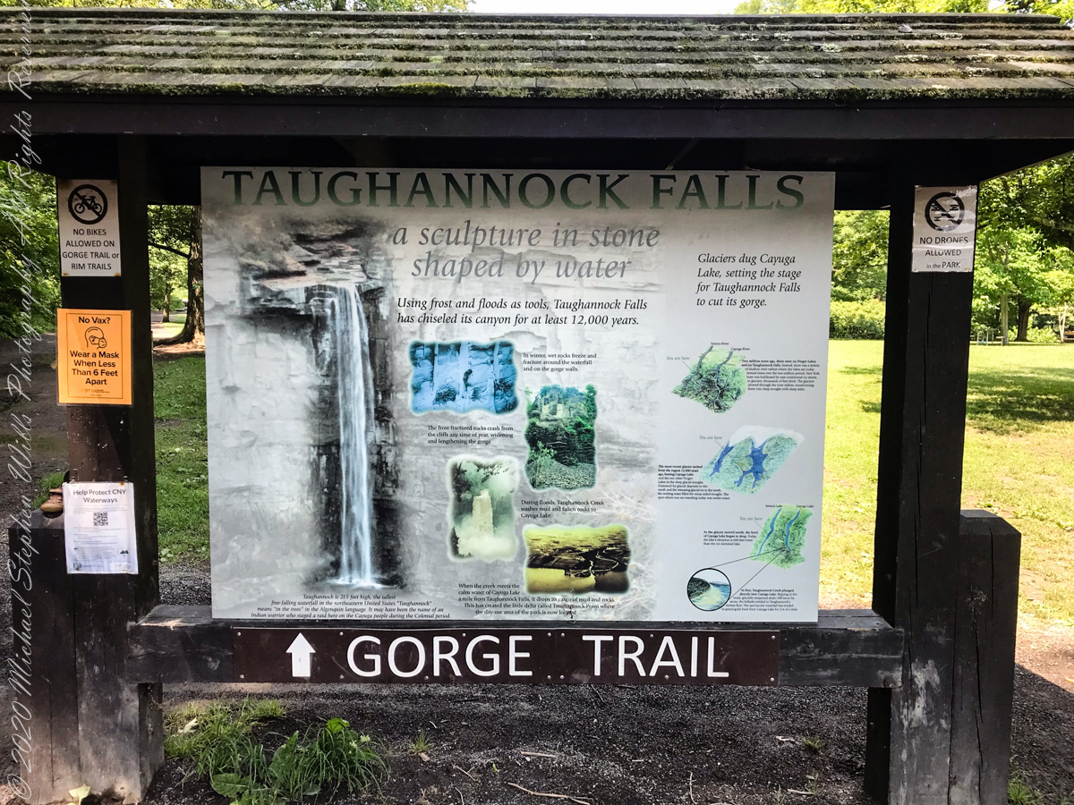
An interesting presentation at the Gorge entrance
Tiger Lilies
brown creek water meets Cayuga Lake (900 feet deep)
Last waterfall of Taughannock Gorge
wild roses
Wild rose blooms
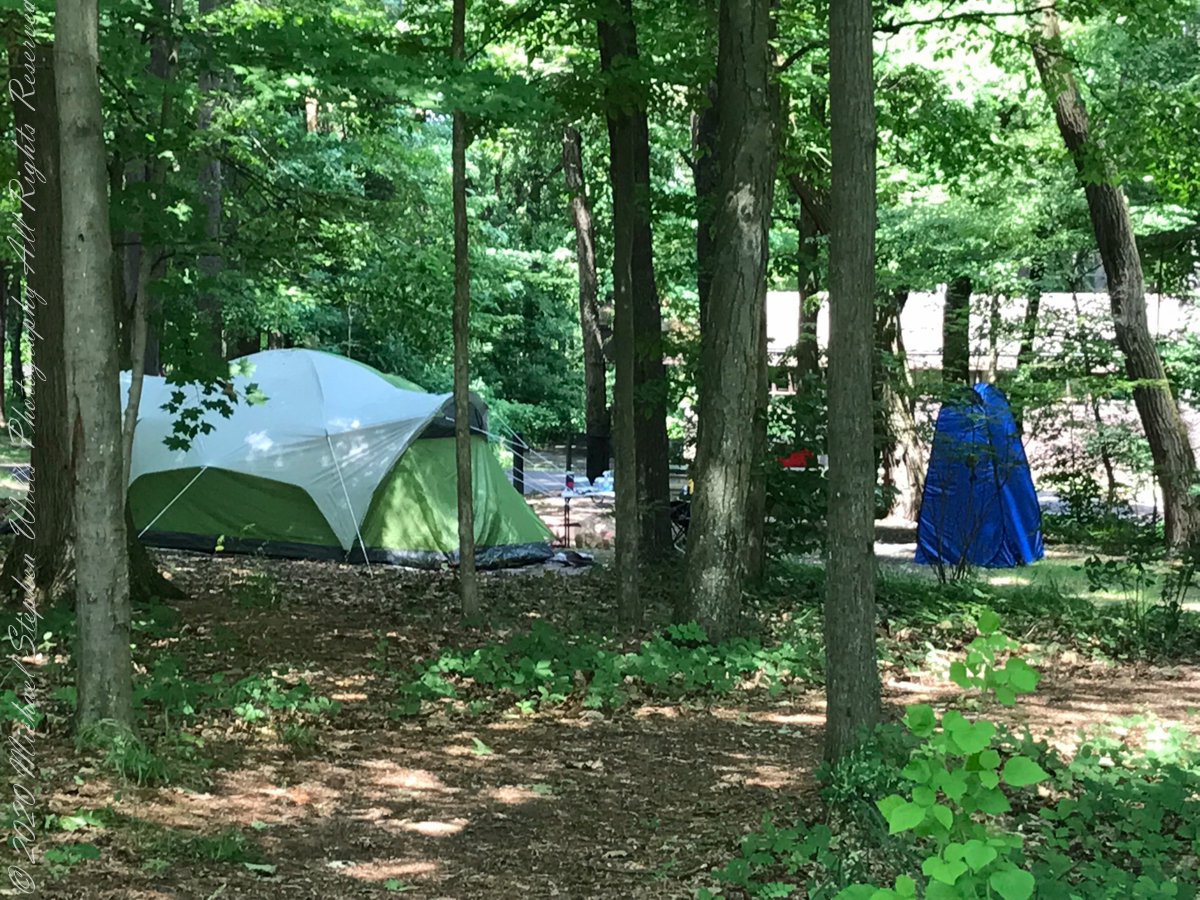
camping on North Rim
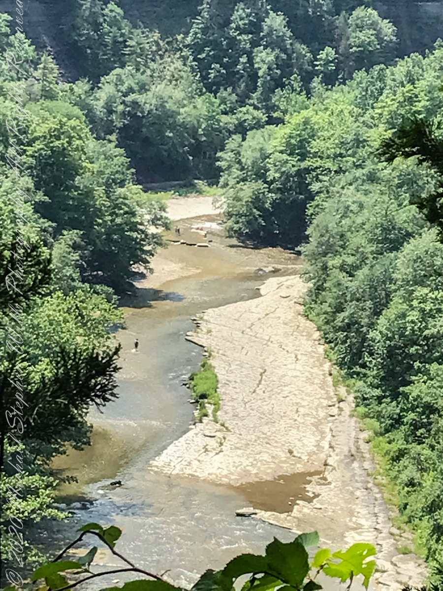
North Rim Gorge view
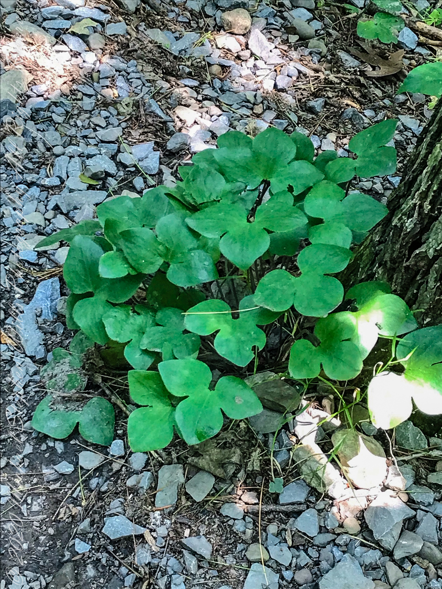
Lobe leaved Hepatica
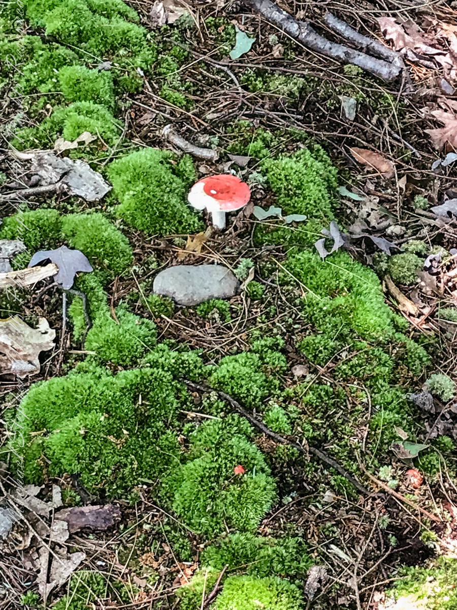
Mushroom and Moss on the “wetter” north rim
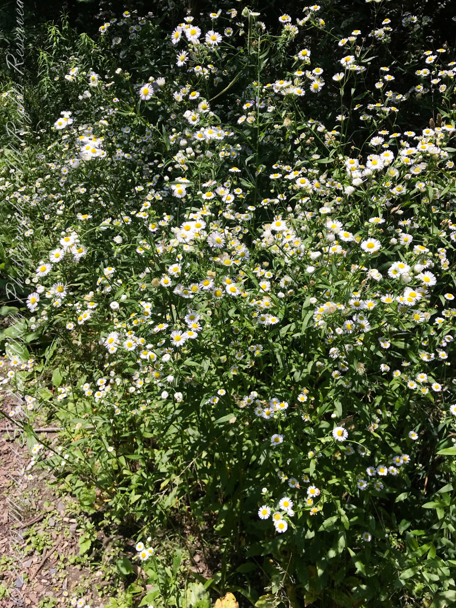
asters, an invasive species
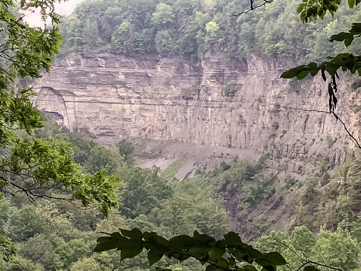
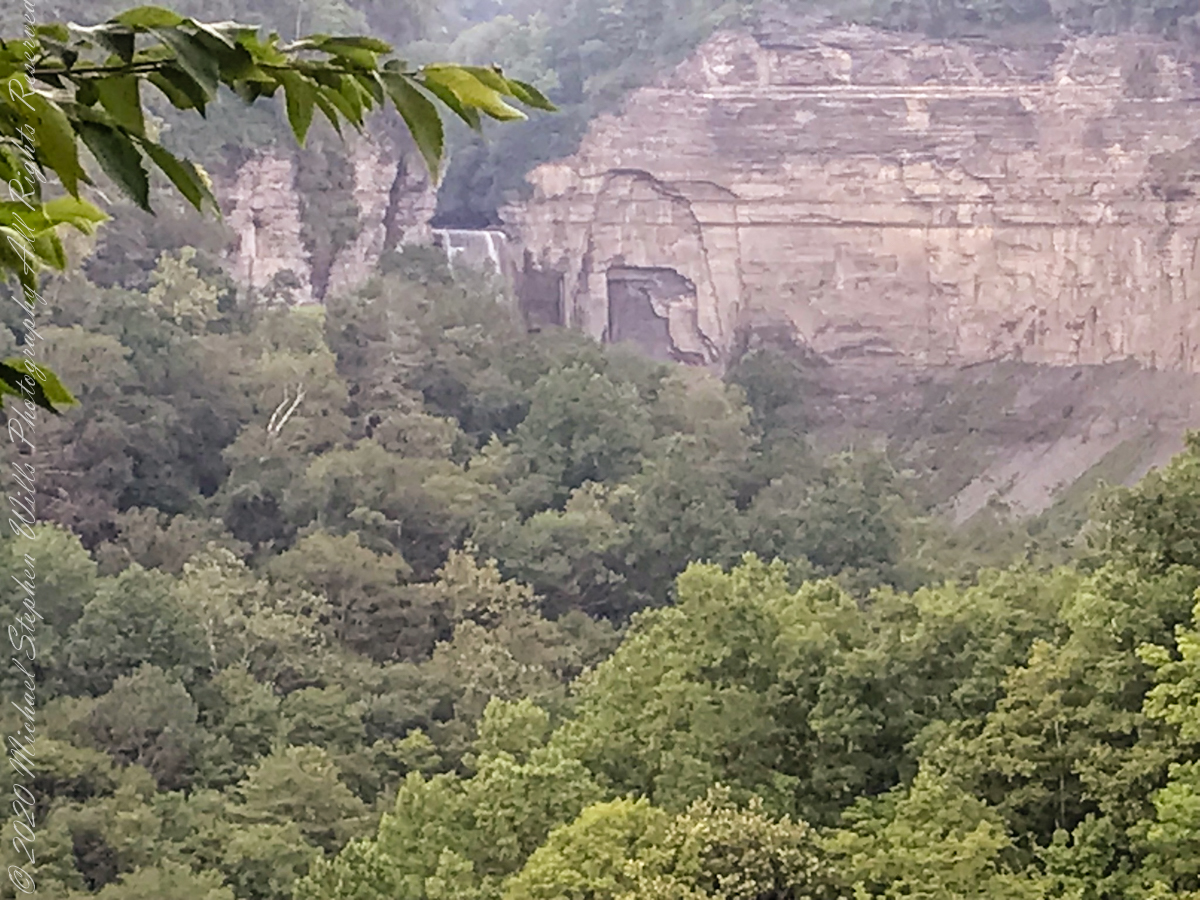
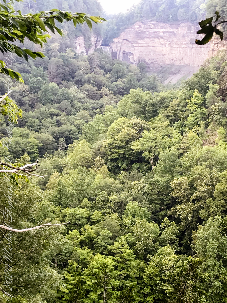
The dramatic and virtually inaccessible gorge above Taughannock Falls
Click the “Watch on YouTube” for a larger format view and more information about each video.
Taughannock Falls Gorge on a humid summer morning
Hemlock Forest on South Rim Trail
Taughannock Falls Gorge from South Rim Trail
Taughannock Falls from South Rim trail
View of Taughannock Falls Gorge from the North Rim trail on a humid summer (July) morning. Turkey Vultures circle overhead…they are there most summer days.
View of the first waterfall of Taughannock Gorge from the railroad bridge linking the North and South Rim trails on a humid summer (July) morning. This large waterfall empties to the gorge above the 210+ foot Taughannock Falls.
Copyright 2021 All Rights Reserved Michael Stephen Wills
Here is a repost for those who missed the video. Please click on video, below and share your responses via comments. Thank You
The Finger Lakes Trail joins Robert H. Treman New York State Park, running along the south rim along the park border.
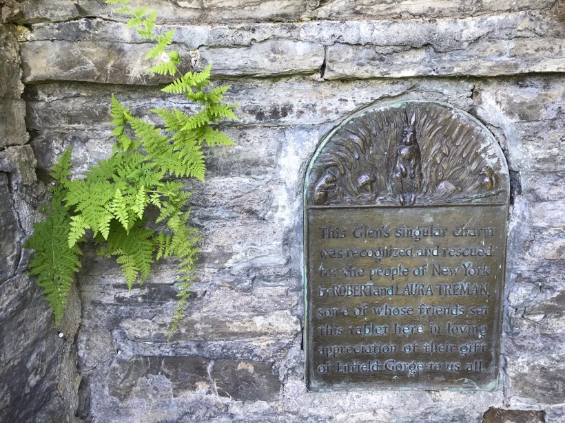
Today, I started from the stairs next to the Mill of the upper park, walking along Fish Kill Creek, a brief visit to the CCC plaque, over the new footbridge and a steep climb up to the ridge to a marvelous view over the way we just walked. That is a millipede resting on a wooden trail stake.
A word on the creek name. The Dutch word for creek is “Kill”, the anglicisation of the original name retained the Dutch making it, in effect, “Fish Creek Creek,” not a memorization of fish massacre.
There’s one shot of the damage done to tree leaves by hoards of caterpillars…I found chewed-up leaves at my feet throughout the hike.
Then, I re-join the State Park South Rim trail, down the Cliff Staircase to wander the gorge floor below Lucifer Falls.
Up the Gorge Trail with many shots of these wonders including Lucifer Falls, Devil’s Kitchen Waterfall, and the Gallery.
Close with a shot of early Tiger Lily blooms on the south facing bank of Enfield Creek.
I used a new format with this post, with all media in one You Tube video. Enjoy!!
One weekend my nephew Chris and I backpacked to Peaked Mountain Pond, the Adirondacks wilderness, in the rain. My son, Sean, was to meet us later. The constant rain made the easy trek into a slog. Our attitude improved after the tents setup and the fire. The skies clear to a brilliant display of the Milky Way away from light pollution.
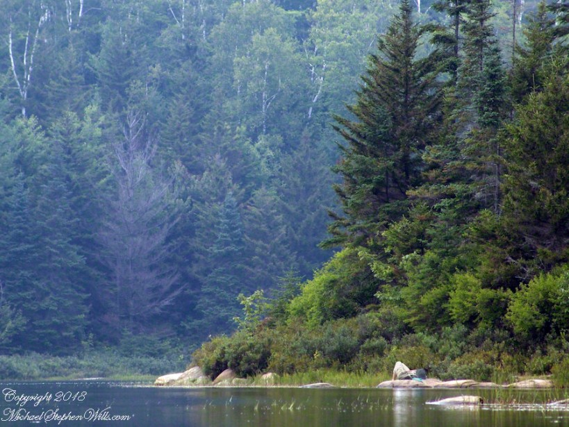
Peaked Mountain in the light of an August dawn taken from the west pond shore. Siamese Ponds Wilderness, Adirondack Park, New York State. At 2,919 feet, Peaked Mountain is a modest height though it rises an impressive 675 feet in 0.4 mile.
Looking north across Peaked Mountain Pond from the west shore shortly after dawn.
Click the photograph to visit my Fine Art Gallery
We used the canoe as a punt, using a solid branch to push around the shallow pond for short distances, after bailing.
Click the photograph to visit my Fine Art Gallery
Mid-morning, we headed up the trail to the peak. I caught this orb-weaver spider web on the way.
Click the photograph to visit my Fine Art Gallery
…and a detail. Technically, this is a macro. Did not wait around for the owner.
Click the photograph to visit my Fine Art Gallery
Later, in the afternoon, Chris caught some Zzzzz’s in a time out from water gathering. We pumped water through a filter, this is necessary throughout New York State to avoid giardia infection.
Click the photograph to visit my Fine Art Gallery
The ultimate in peace and tranquility, though disturbing a hornet pollinator can lead to excitement. This water lily bloom was caught with a tripod mounted long lens. Look closely for the hornet at work inside the flower. HHealthy water lily leaves are the epitome of tranquility because they are always clean, giving the illusion of tranquility. Scientists study water lily leaves to learn how the leaf surface sheds dirt. Imagine self-cleaning cloths.
Correction: it is the Lotus leaf, not lily pad, that is self cleaning.
Looking for the perfect photo for your web site and blog?
Browse my reasonably priced stock photography. This blog features seven (7) photographs I published today to Getty Istock and my Fine Art gallery.
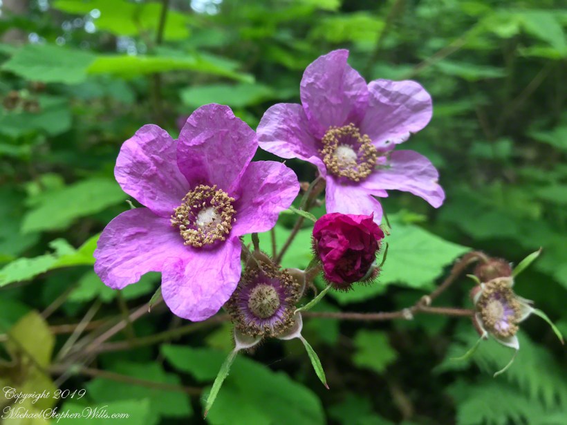
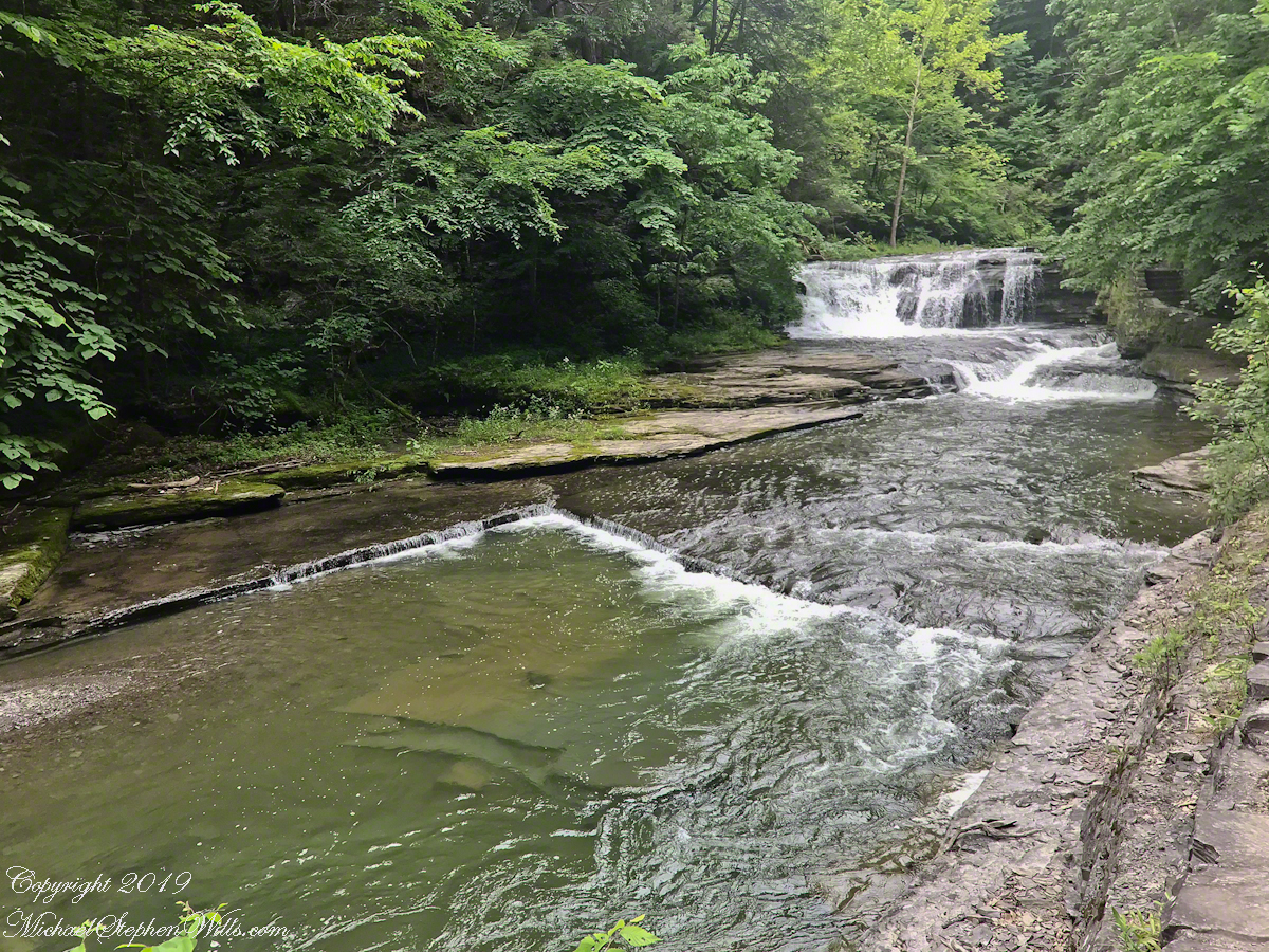
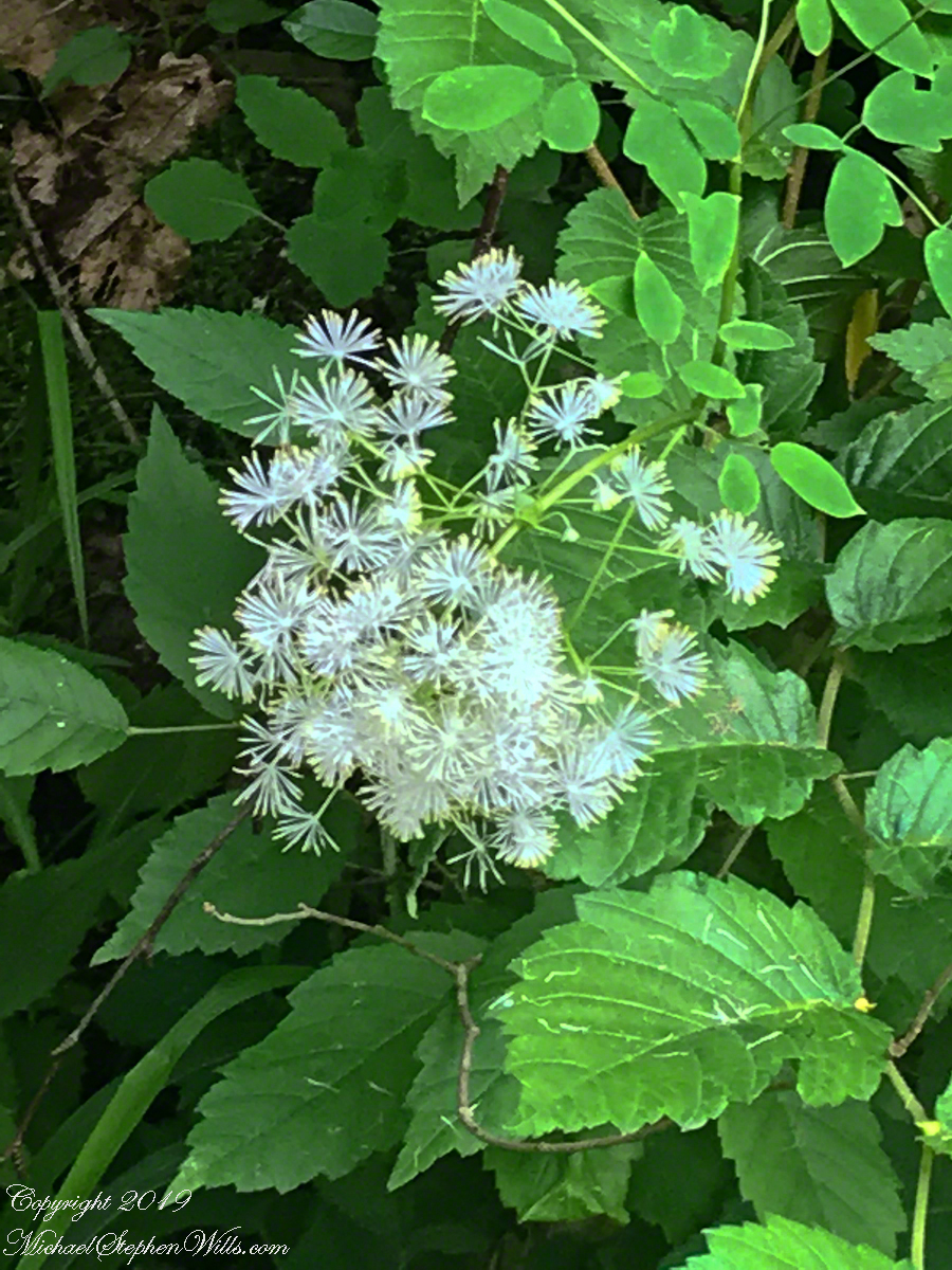
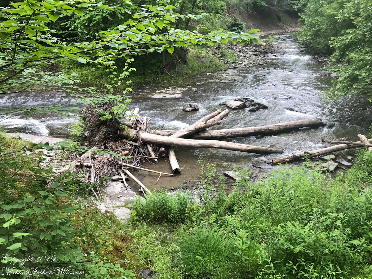
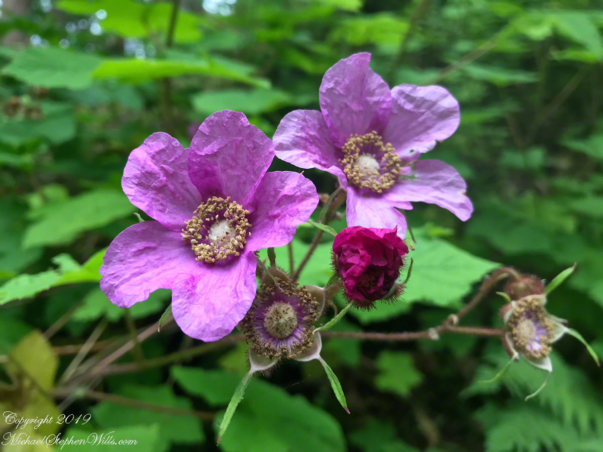
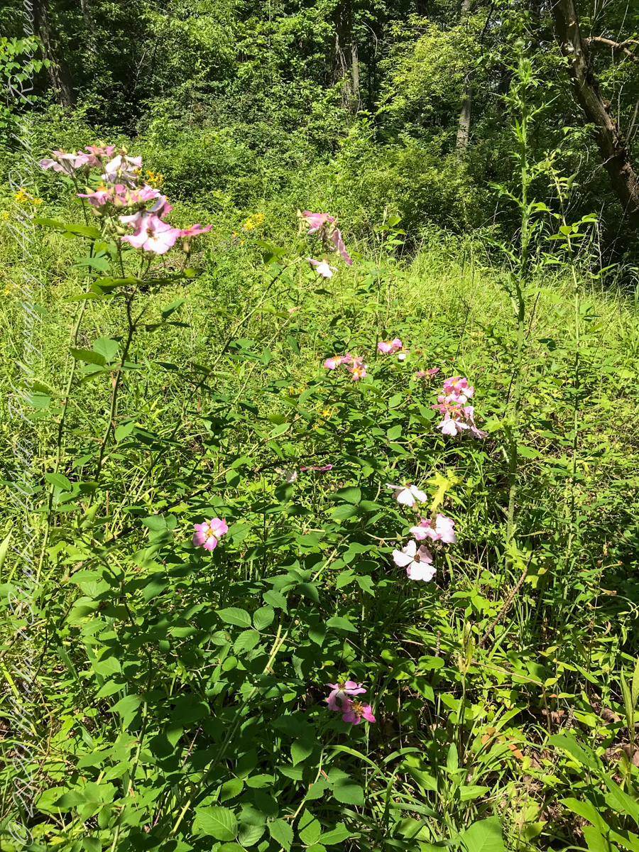
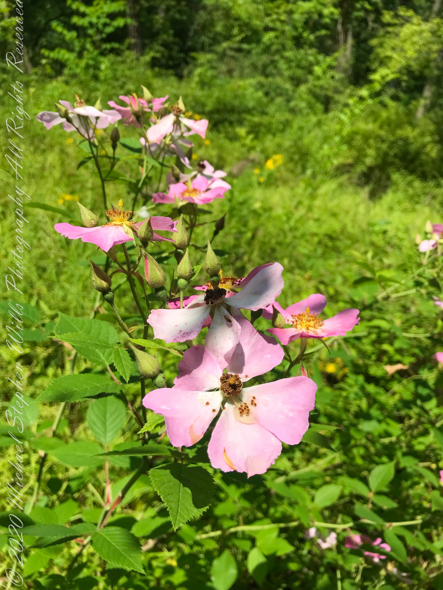
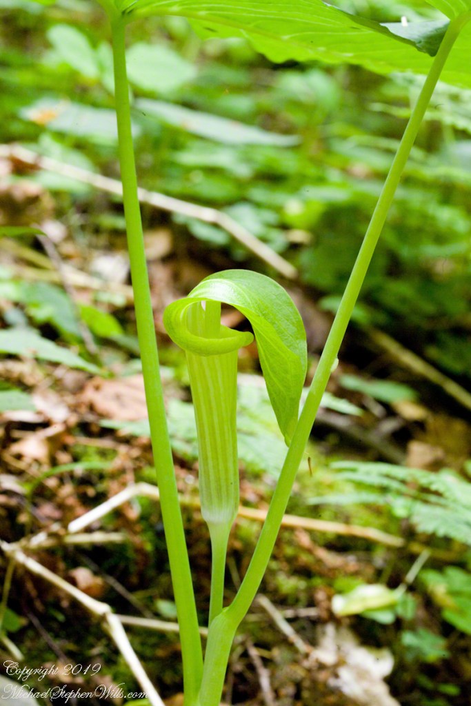
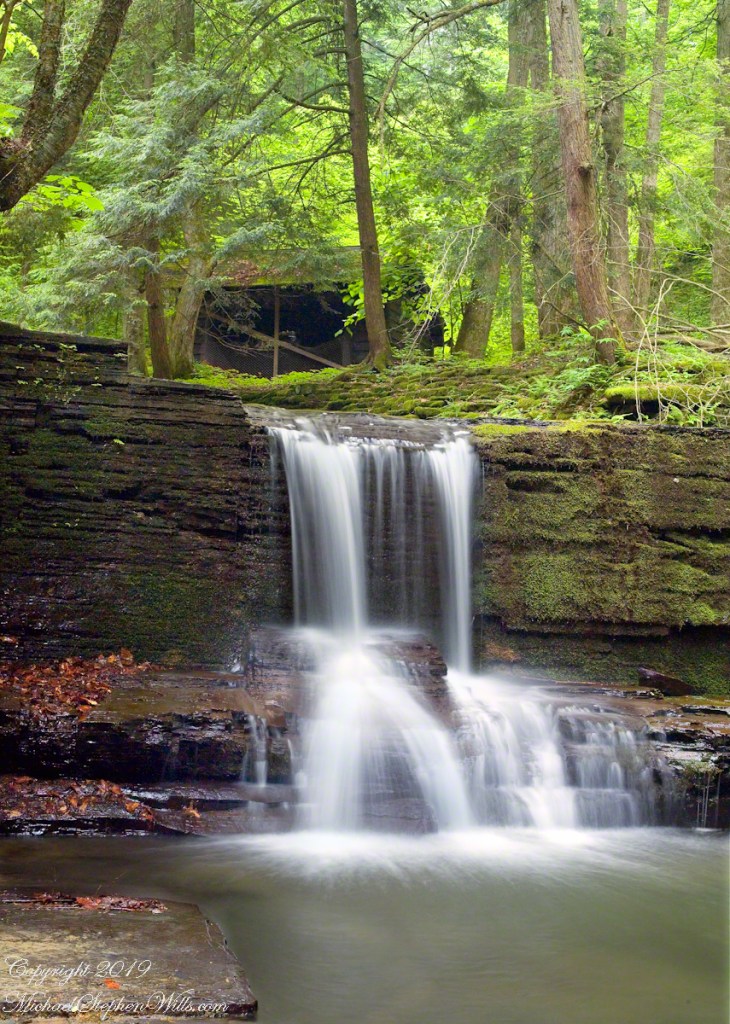
We can roam the woods and gorges this time of year to find these wildflowers camouflaged in their young, green foliage. Here are two images from a June 3rd afternoon in Fillmore Glen with a waterfall. Enjoy!!