This series starts here “Pinelands Connections I.
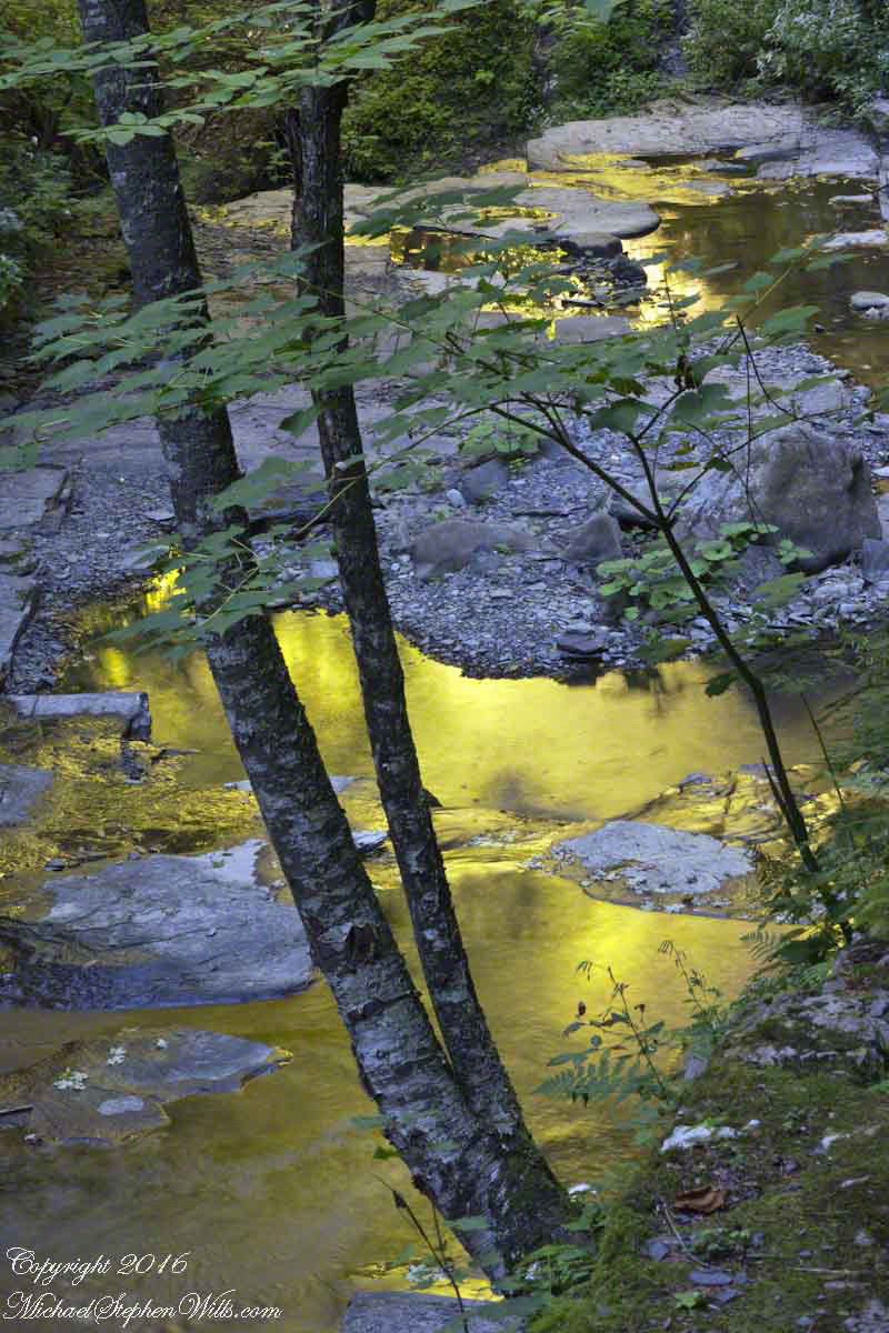
“There was also iron in the Pinelands. Most of the now vanished towns in the pines were iron towns — small, precursive Pittsburghs, in every part of the forest, where fine grade of pig and wrought iron were made. One of the geological curiosities of the Pine Barrens is that rainwater soaking down through fallen pine needles and other forest litter takes on enough acid to leach out iron from the sands below; the dissolved iron moves underground into the streams, where it oxidizes on contact with the air and forms a patch of scum on the surface that is partly rust brown and partly iridescent blue, and resembles an oil slick left by an outboard motor; drifting over to the edges of the streams, this iron-oxide film permeates the sands and gravels of the riverbanks and cements them together into a sandstone composite that has been known for centuries as bog iron. From it ironmasters of the Pine Barrens made cannonballs by the thousand and then them by wagon over the sand roads and on to the Continental Army at Valley Forge and elsewhere.” From The New Yorker magazine, November 26, 1967, “Profiles, The Pine Barrens I” creative non-fiction by the great John McPhee.
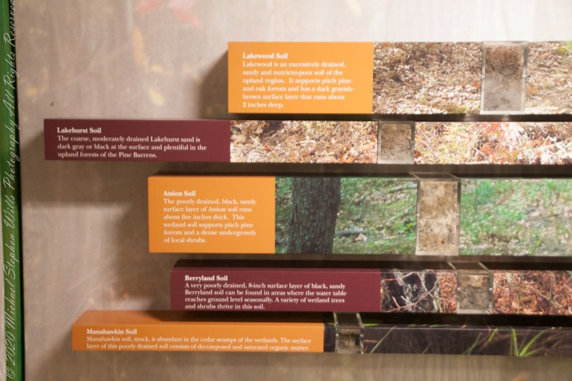
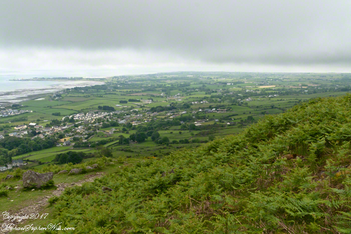
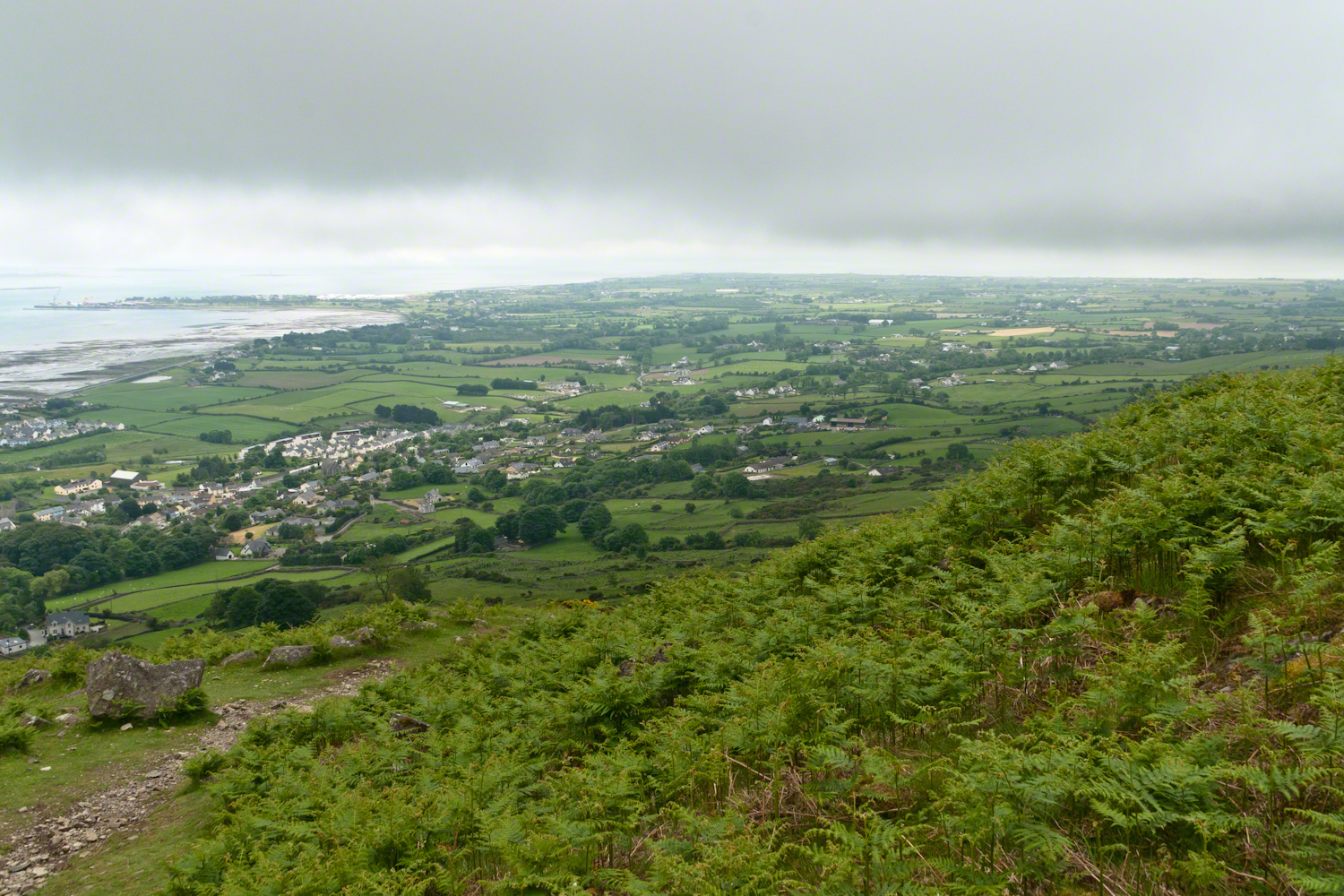
Pinelands Soils 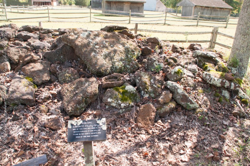
Bog Iron 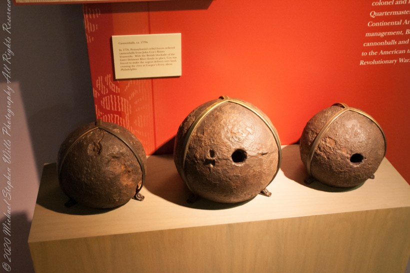
Bog Iron Cannonballs 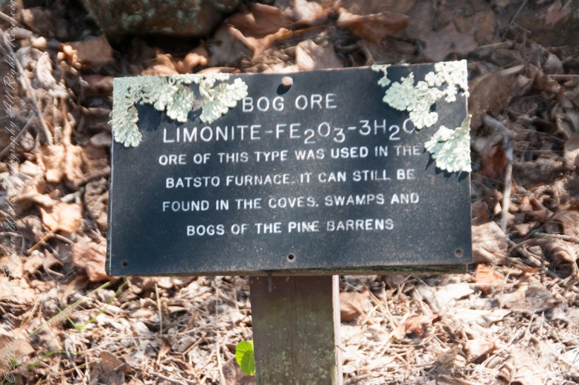
“In 1770, a Philadelphian named John Cox was a member of the first Committee of Correspondence and a member of the Council of Safety. With the coming of war, he became a lieutenant colonel and, eventually, assistant quartermaster general of the Continental Armies. His ironworks at Batsto flourished on war contracts from the Quartermaster Corps. In 1778, Cox sold Batsto for forth thousand pounds — a capital gain of about sixteen hundred per cent……Batsto was to reach its most developed stage in the eighteen-thirties and eighteen-forties, when the town had a population of eight hundred. Batsto is one of the few iron towns that remain in the Pine Barrens. …..The state has restored its water-powered sawmill, and sawyers cut white cedar there and make cedar shingles for use in restoration of Batsto buildings.” From The New Yorker magazine, November 26, 1967, “Profiles, The Pine Barrens I” by John McPhee.
Competition from more productive sources of iron and the coal-fired Pittsburg furnaces brought down the Pinelands iron works at their height. By 1848 the furnace at Batsto was cold.
Click me for Pinelands Connections V
Copyright 2021 Michael Stephen Wills All Rights Reserved