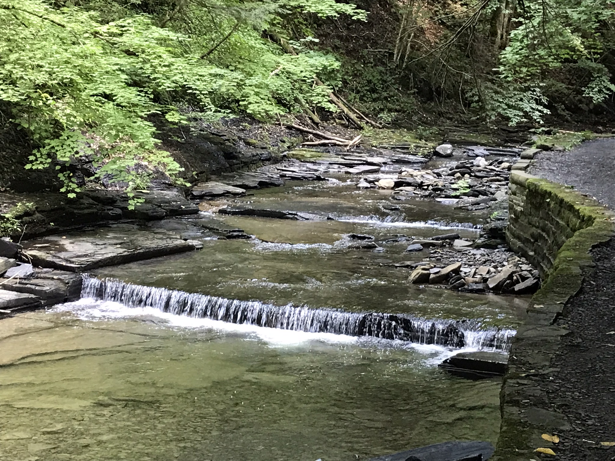
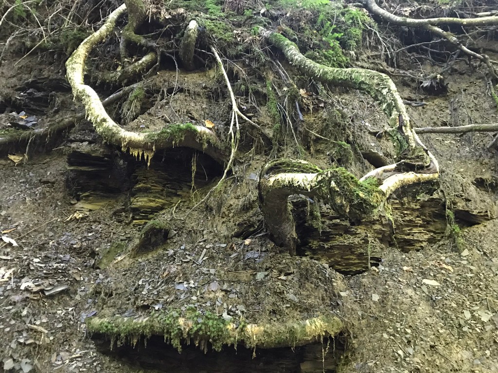
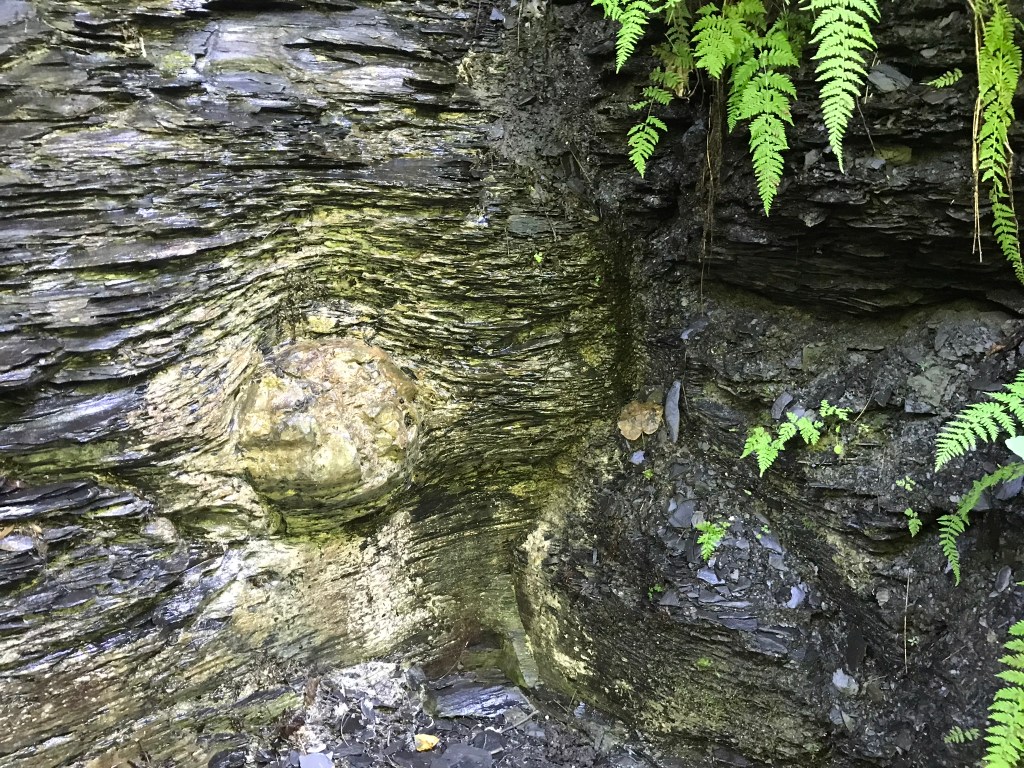
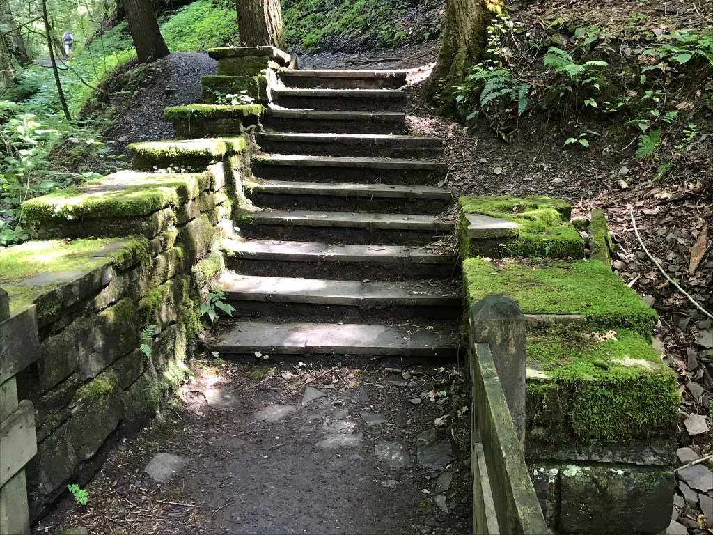
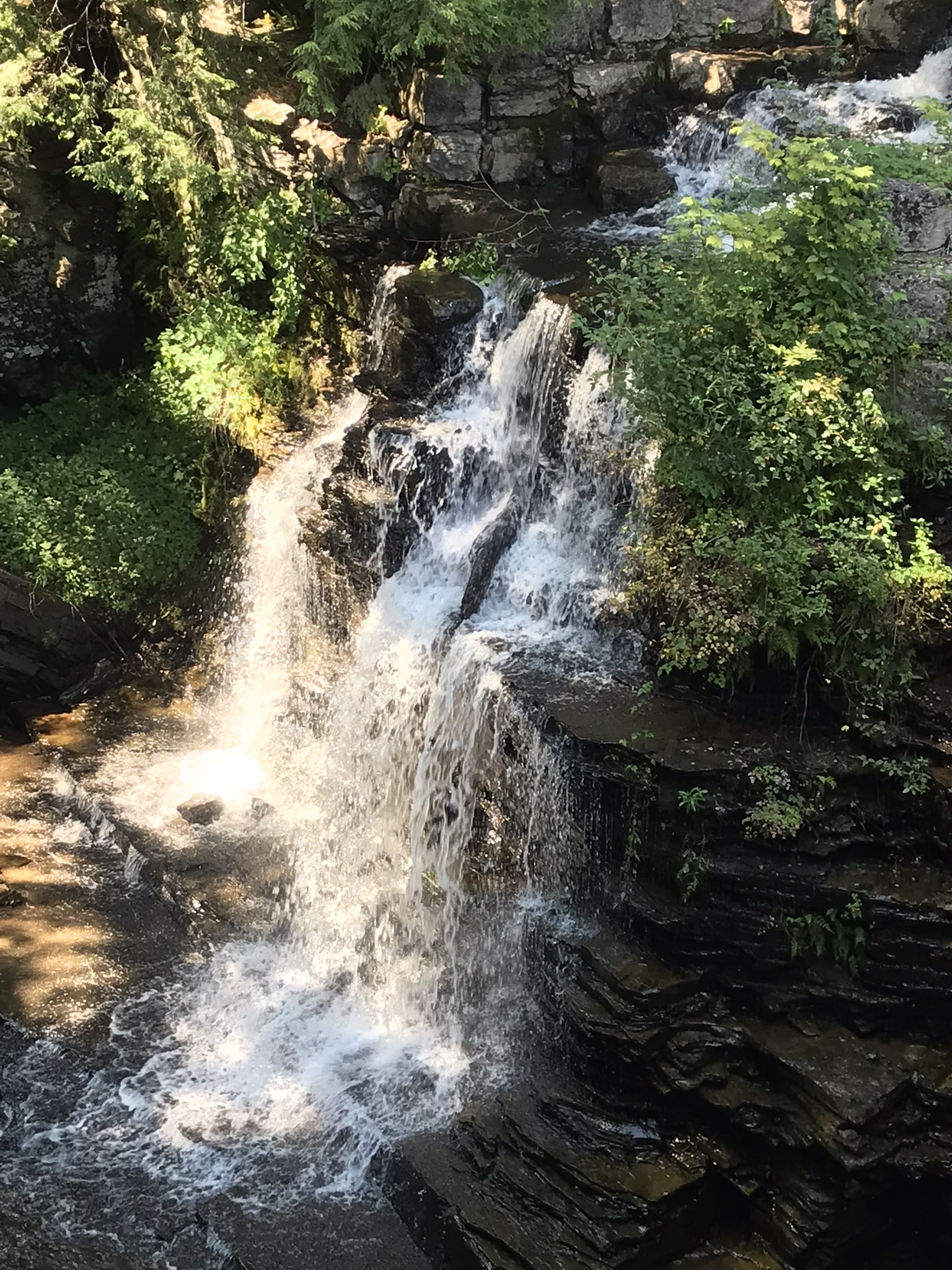
Gentle Waterfall SeriesLife Clings to Gorge WallsRoots Hold All In PlaceAncient Rockfall RememberedWelcoming Steps
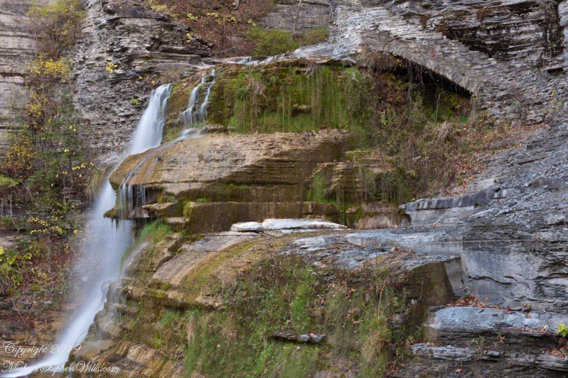
Ephemeral Waterfall
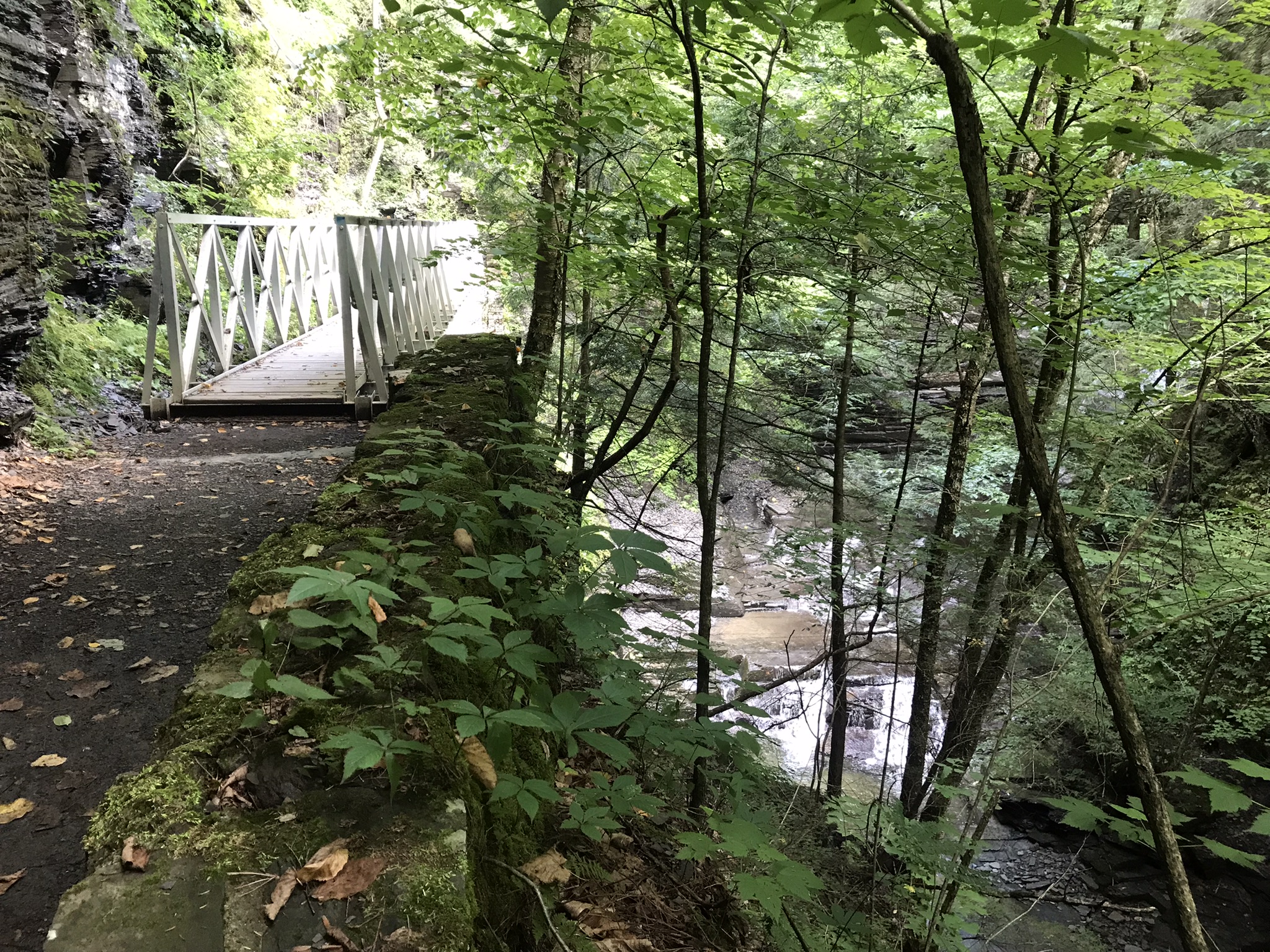
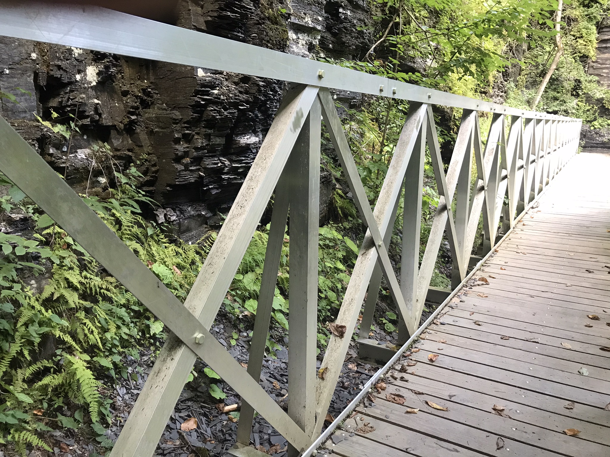
Metal Intrusion
Spring thaw washed away the gorge wall, this functional metal bridge will outlast all but the most catastrophic gorge wall disruptions.
Turn Around Here for the Following ViewI call these Hermit FallsCan you ss “The Hermitage”?View Back to BridgeNew Path
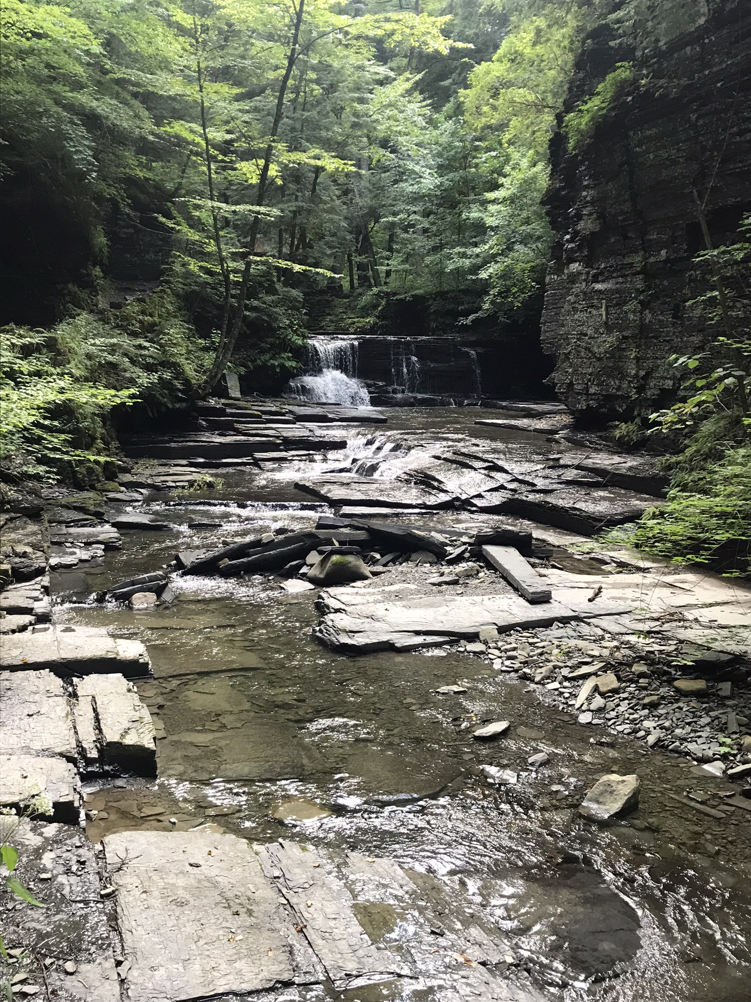
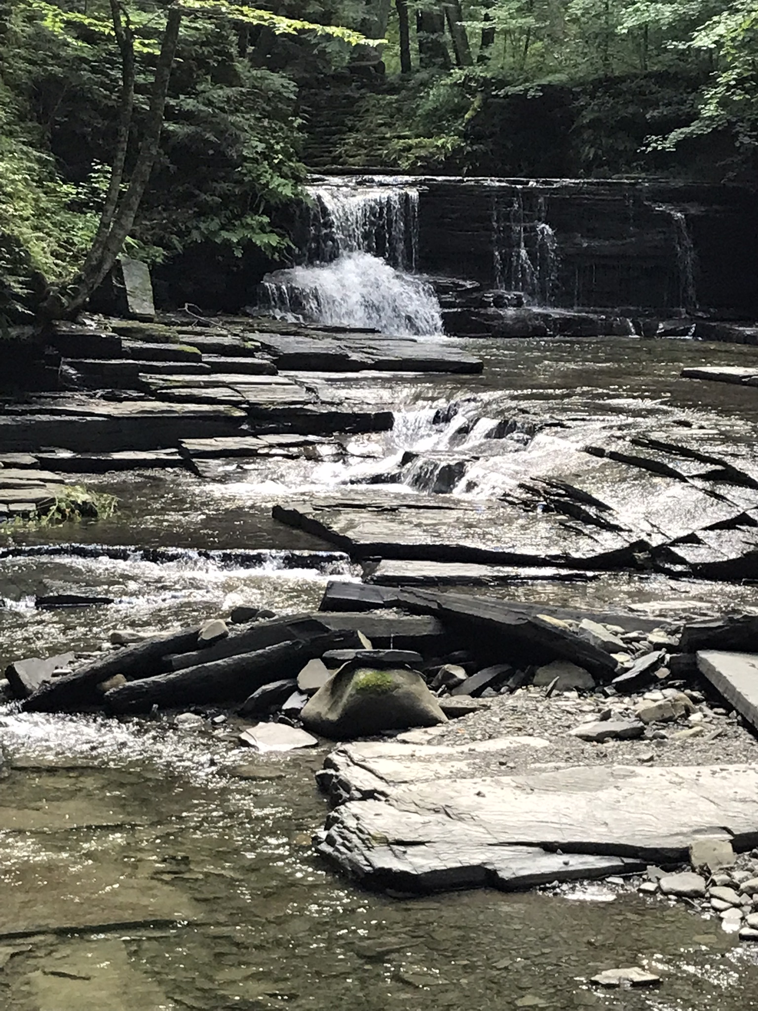
Graceful Waterfall Overview
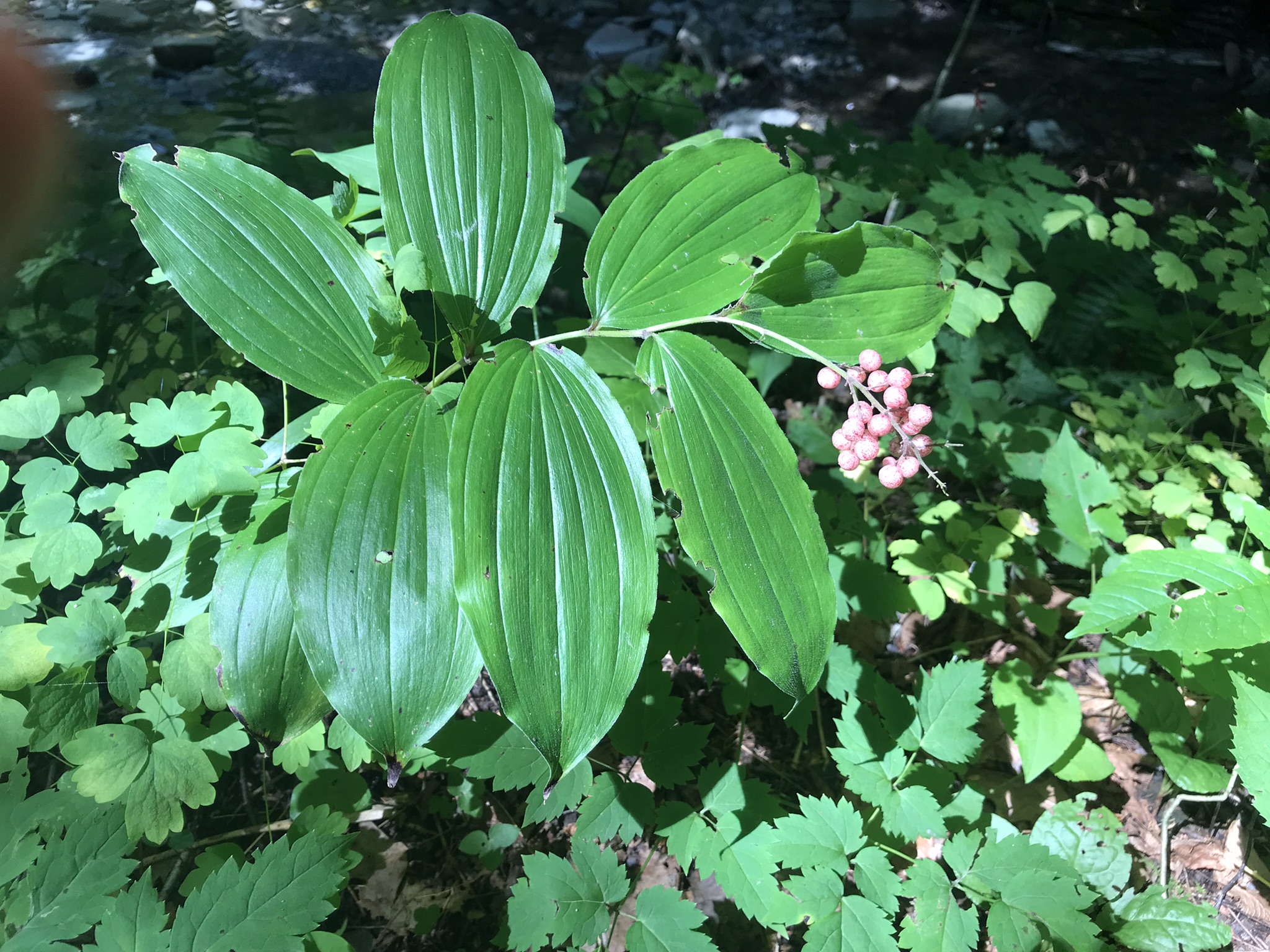
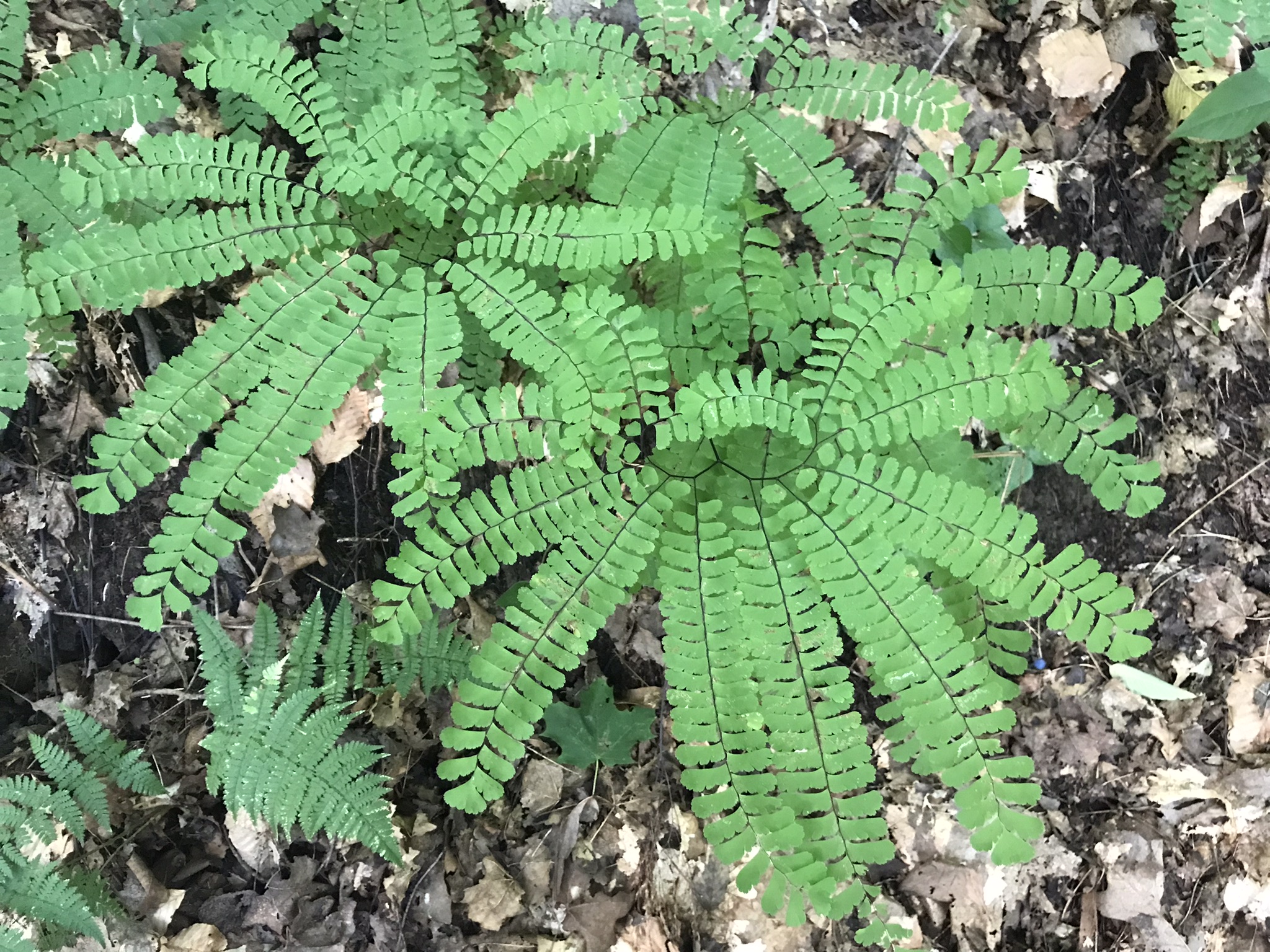
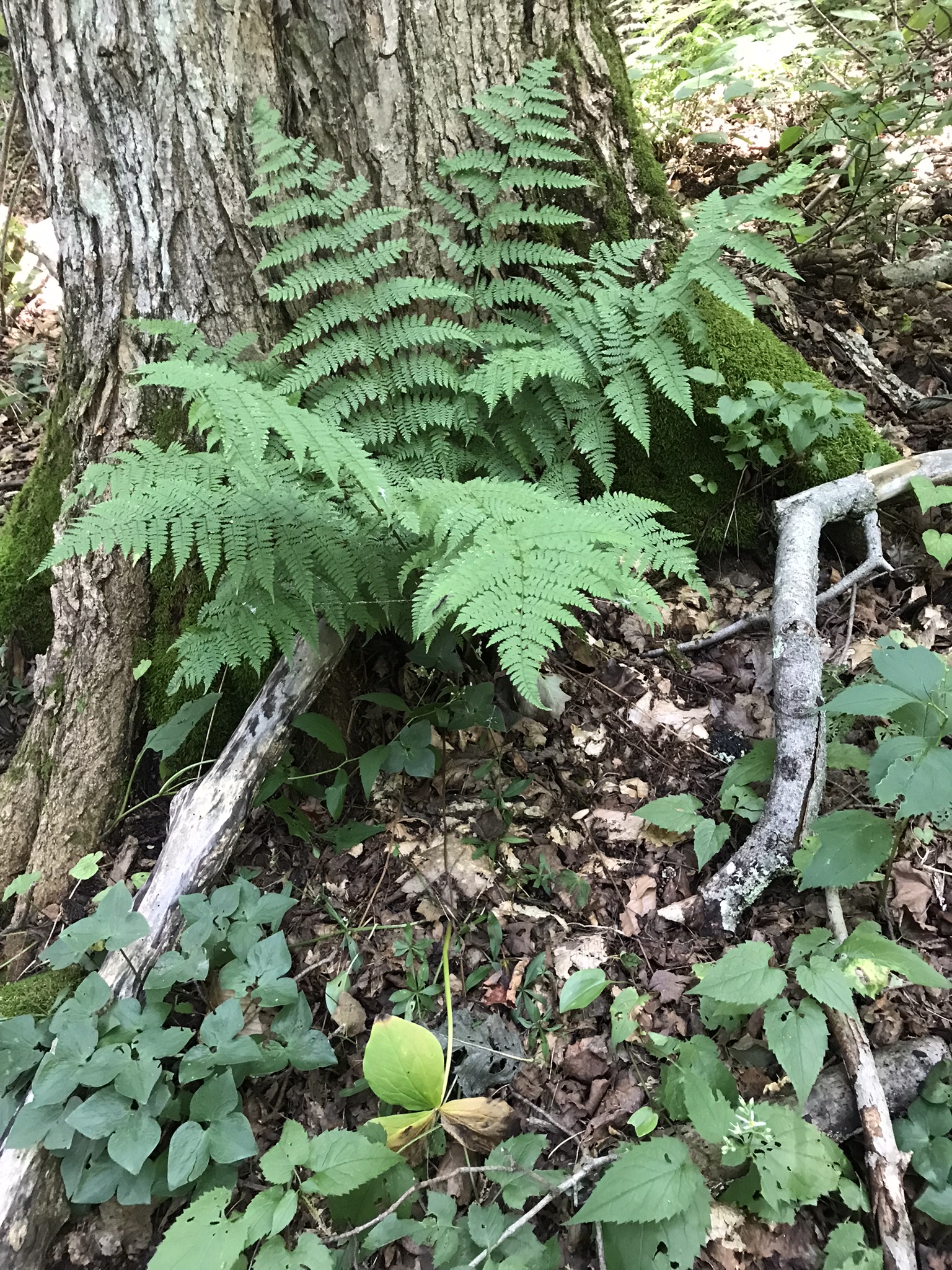
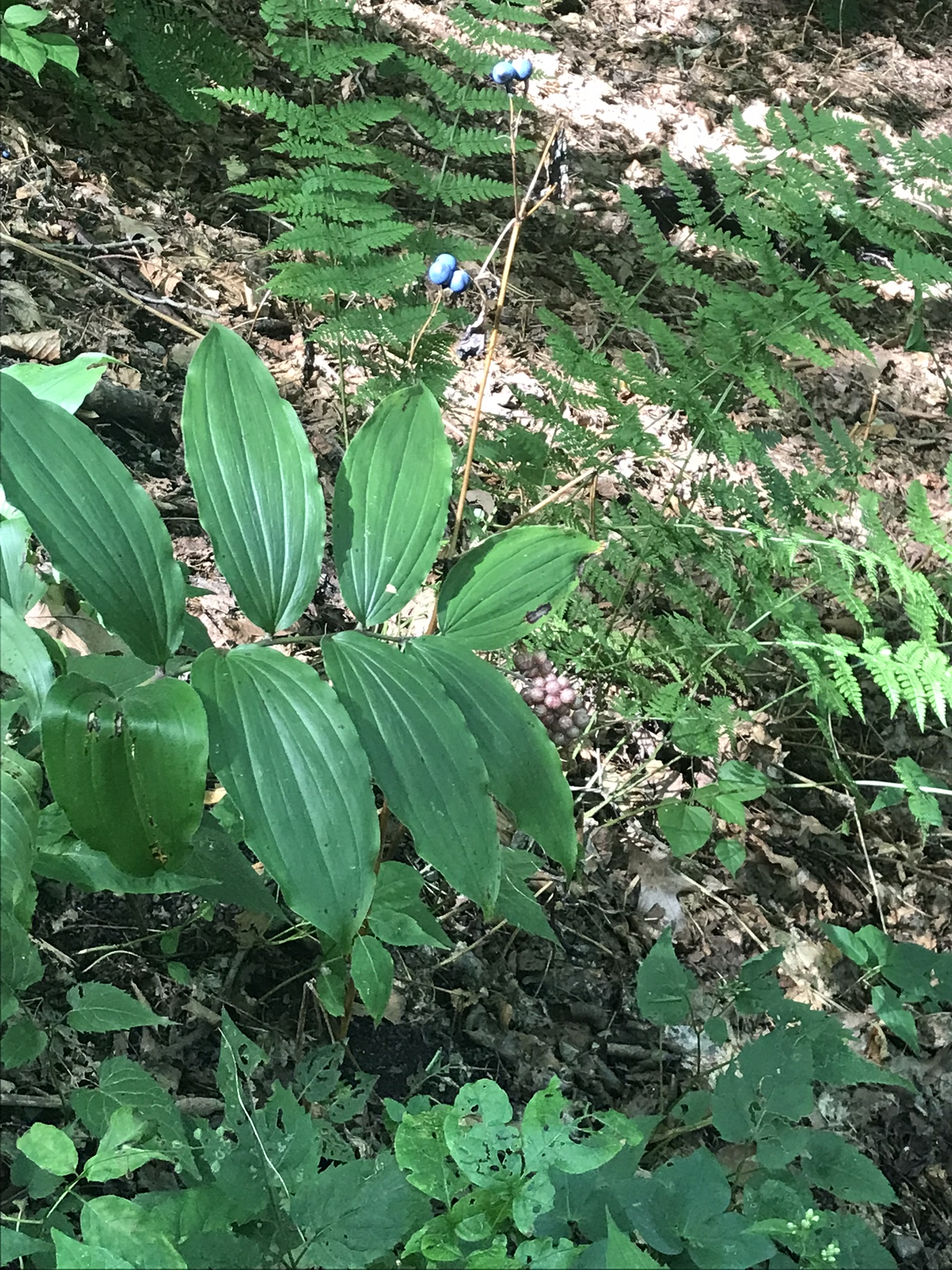
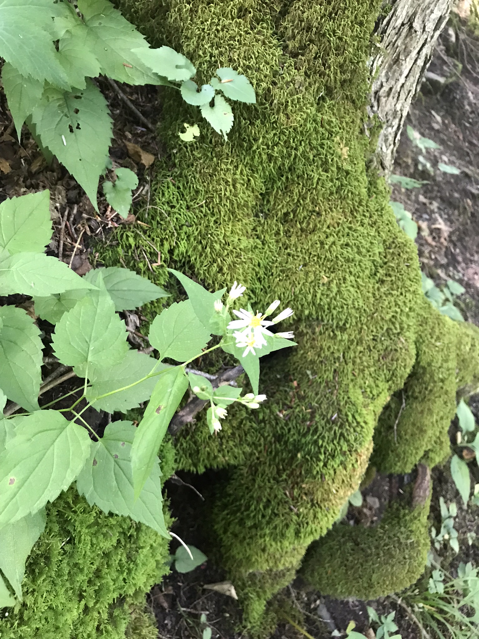
Flora
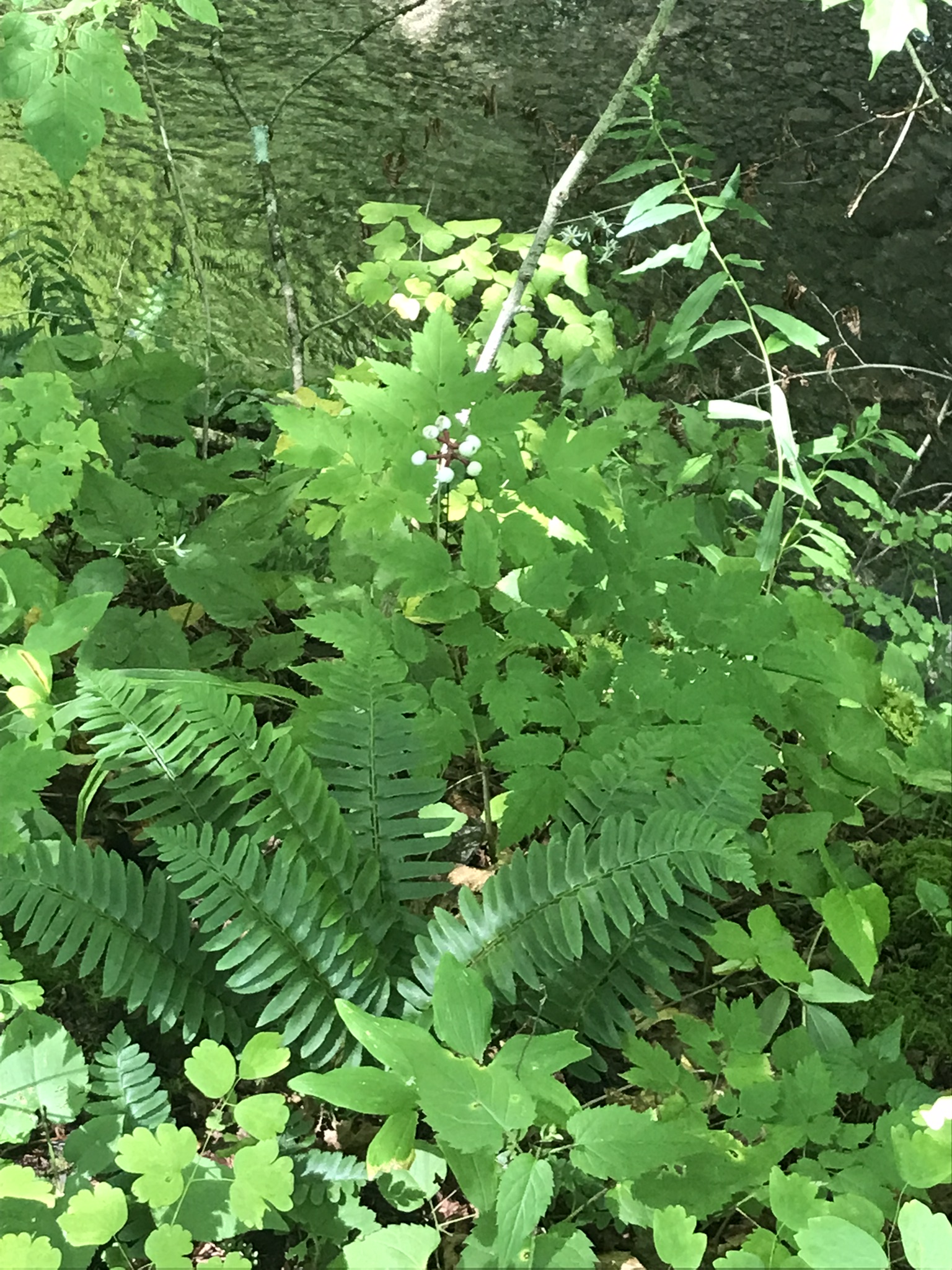
White Baneberry, aka “Dolls Eyes,” a fascinating plant, entirely poisonous.
All parts of all Baneberry varieties (red and white) are highly poisonous, the bane of Baneberry. The berries are deadly. Ingestion of as few as two berries by children will cause death from cardiac arrest. Six for an adult.
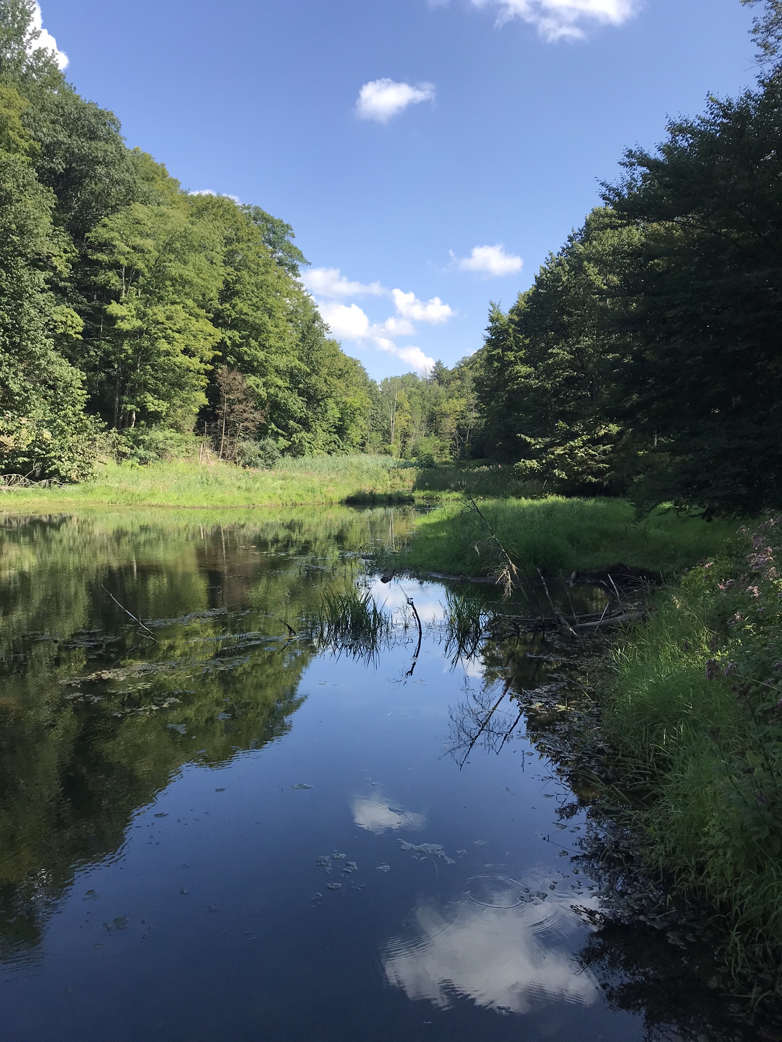
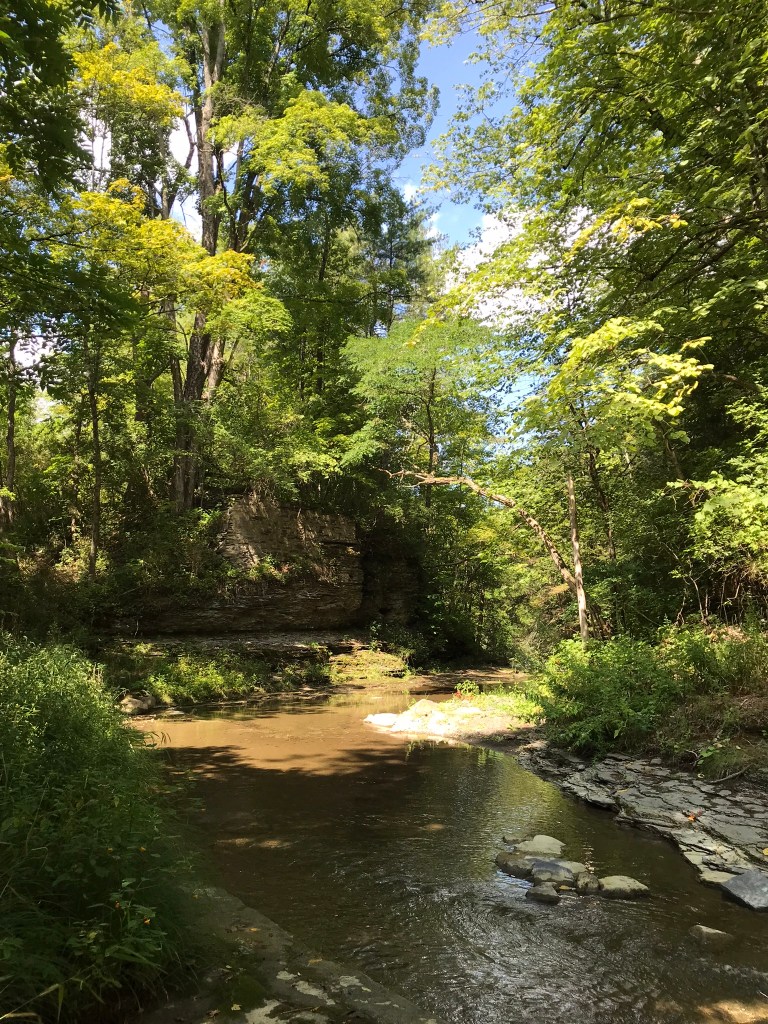
Landscape Features
Erratic Granite BoulderSpillwayDam Pond
Overview, Spillway and Pond
Copyright 2022 Michael Stephen Wills All Rights Reserved
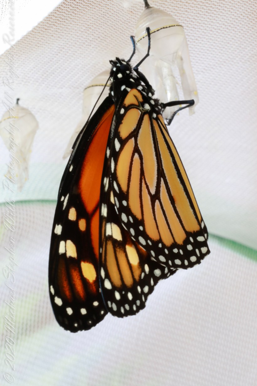
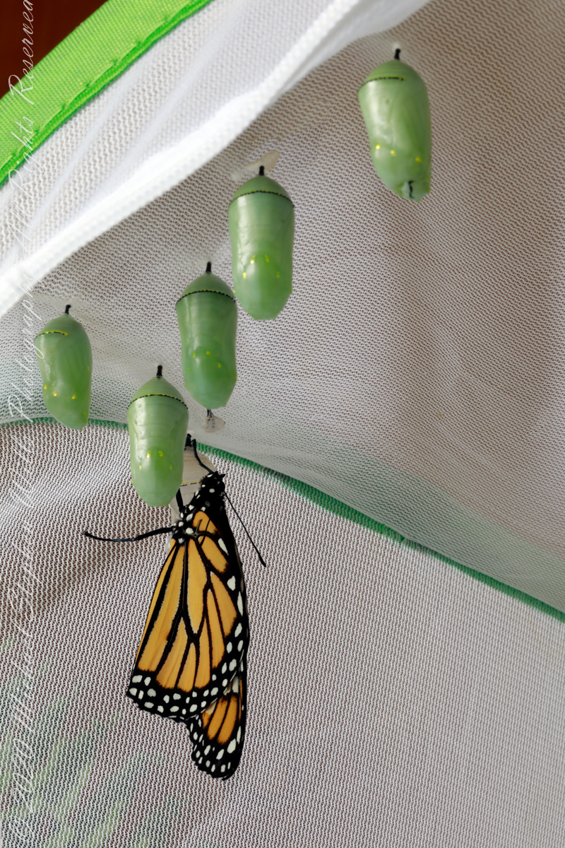
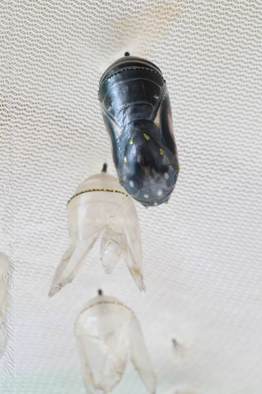
We successfully raised nine (9) Monarch butterflies this season, leaving us feeling, “Let’s do more in 2023.” Today’s post cover is a portrait of the last. She flew yesterday, September 23rd, forty (40) feet up to the oak tree shading the back yard, lost to us in the leaves.
Her chrysalis is the second from right in the following family photograph.
Here are two videos of our last 2022 Monarch to emerge and the first.
Emergence of a Monarch butterfly from a chrysalis 4K UHD with relaxing music. A caterpillar attached itself with silk to hang by its two rear legs to transform to a green chrysalis. Fourteen days later the chrysalis shell becomes translucent. Inside the chrysalis the Monarch butterfly moves to shed the shell. The released insect’s abdomen pumps fluid, expanding the crumpled wings. The entire process takes twenty minutes, compressed in this video to about six (6) minutes.
As the moment of emergence approaches, the skin of a Monarch chrysalis becomes translucent to reveal the butterfly compressed into that small space.
A real time film of our first 2022 Monarch Butterfly emerging from the chrysalis, then expanding its wings in 4K UHD with relaxing music. The process takes twenty (20) minutes.
The butterfly emerges from the chrysalis about fourteen (14) days after setting. To the photographer needing to capture the moment a signal is the green, jewel-like chrysalis turns transparent, apparently darkening to reveal the compressed form of the butterfly. It can be hours before the insect breaks free, the Canon EOS 5D Mark IV dslr camera is used for this. I set it on a Manfrotto BeFree Carbon Fiber tripod (with ball head), a Canon EF 100mm f/2.8L macro lens for optics. The Mark IV has WIFI and HD video capabilities, so I connected the camera to an Apple IPhone 7 using Canon software. Monitoring the transparent chrysalis in real time, I continually reset the video from the IPhone until the butterfly emerged. I used AVS video editor software to produce the film for YouTube publication.
Copyright 2022 Michael Stephen Wills All Rights Reserved
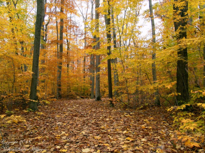
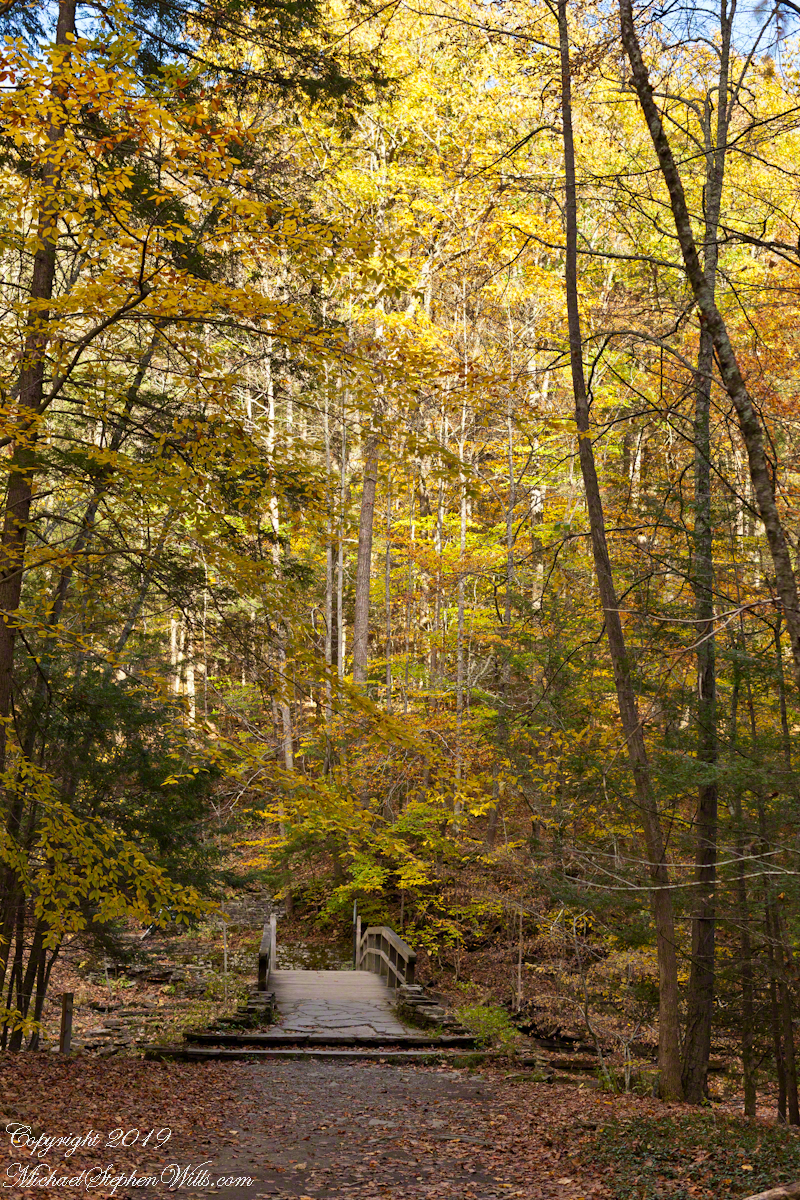
A place for quiet contemplation within the Treman Gorge, only accessible via a 15 minute hike. Robert H. Treman New York State Park on a late October afternoon.
Click photograph for a larger view. To do this from WordPress Reader, you need to first click the title of this post to open a new page.
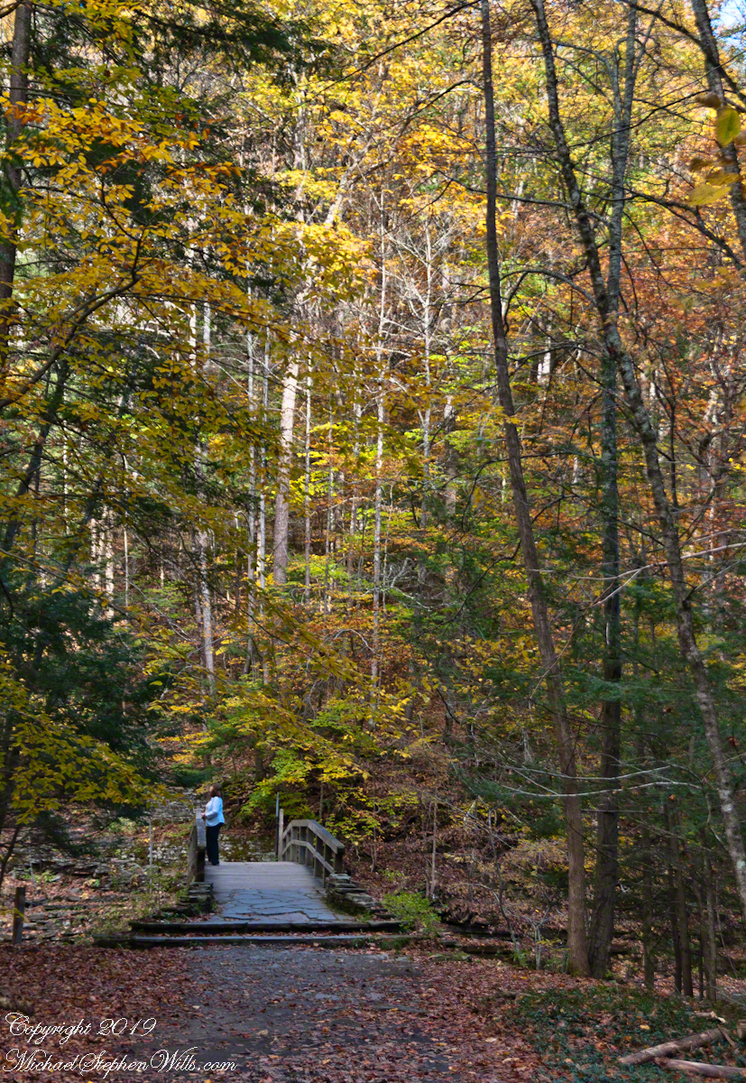
Autumn foot Bridge
Click for a slideshow of this sequence of Lucifer Falls view from the overlook.
Lucifer Falls from Rim Trail OverlookLucifer Falls from Rim Trail Overlook
Copyright 2022 All Rights Reserved Michael Stephen Wills
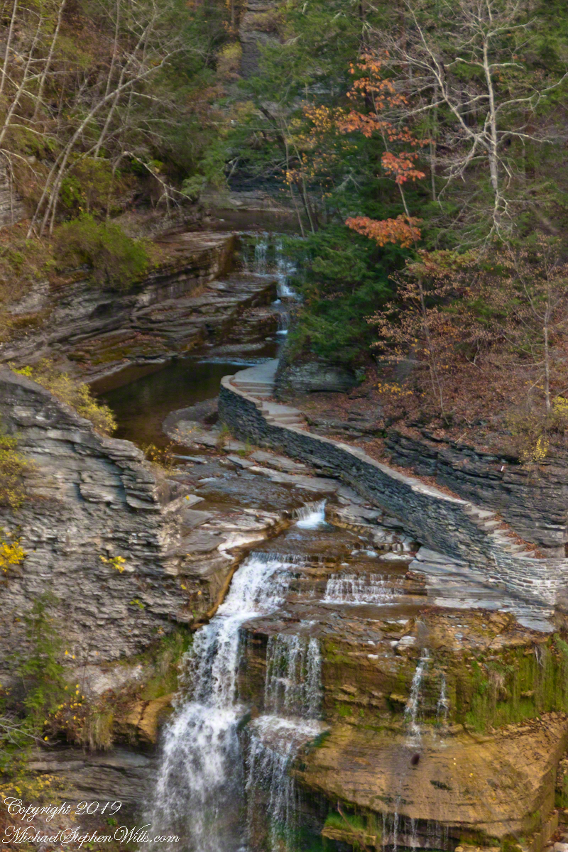
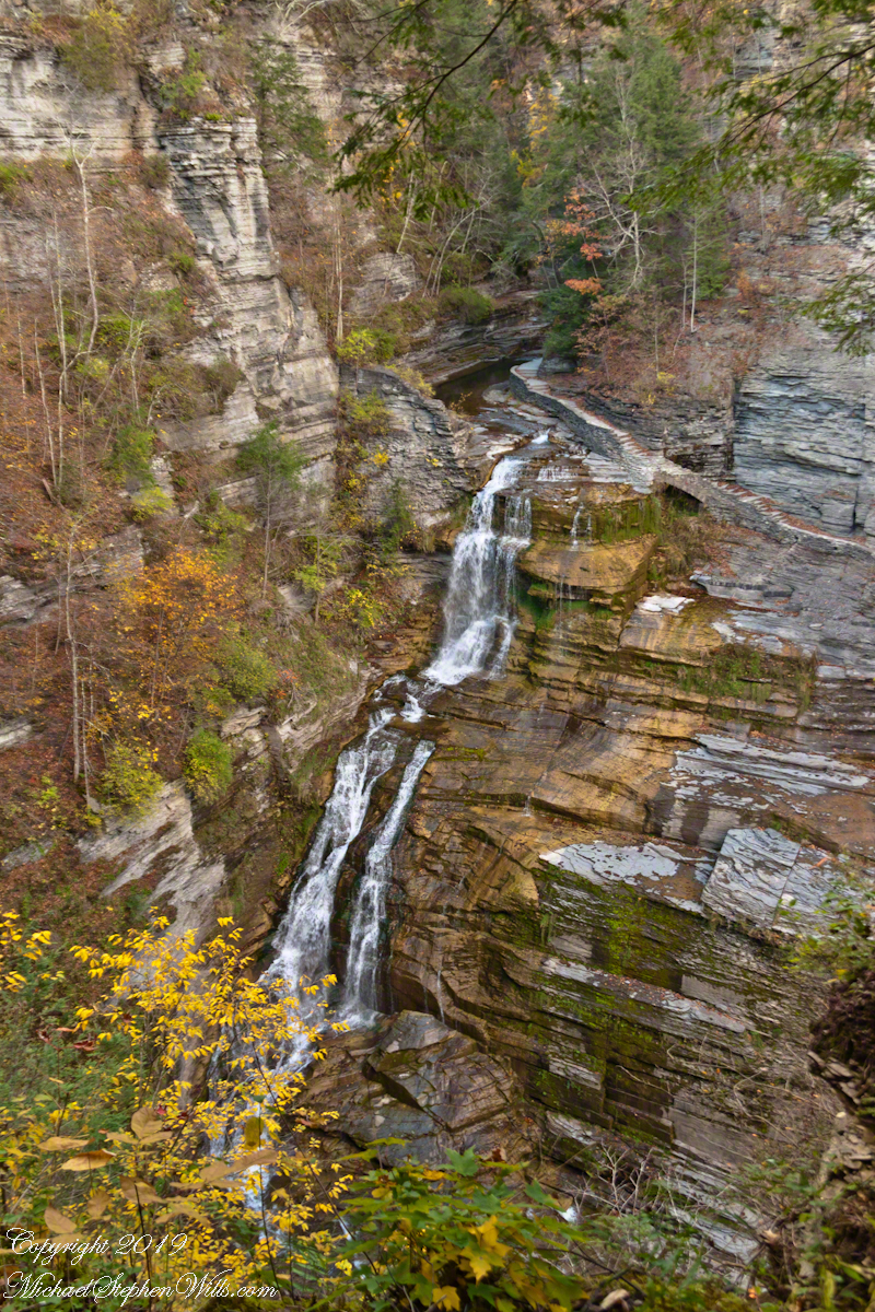
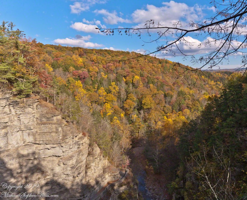
Standing on Enfield Gorge rim above Lucifer Falls on a clear October afternoon, the slopes of the far gorge cloaked in shades of green, yellow and red.
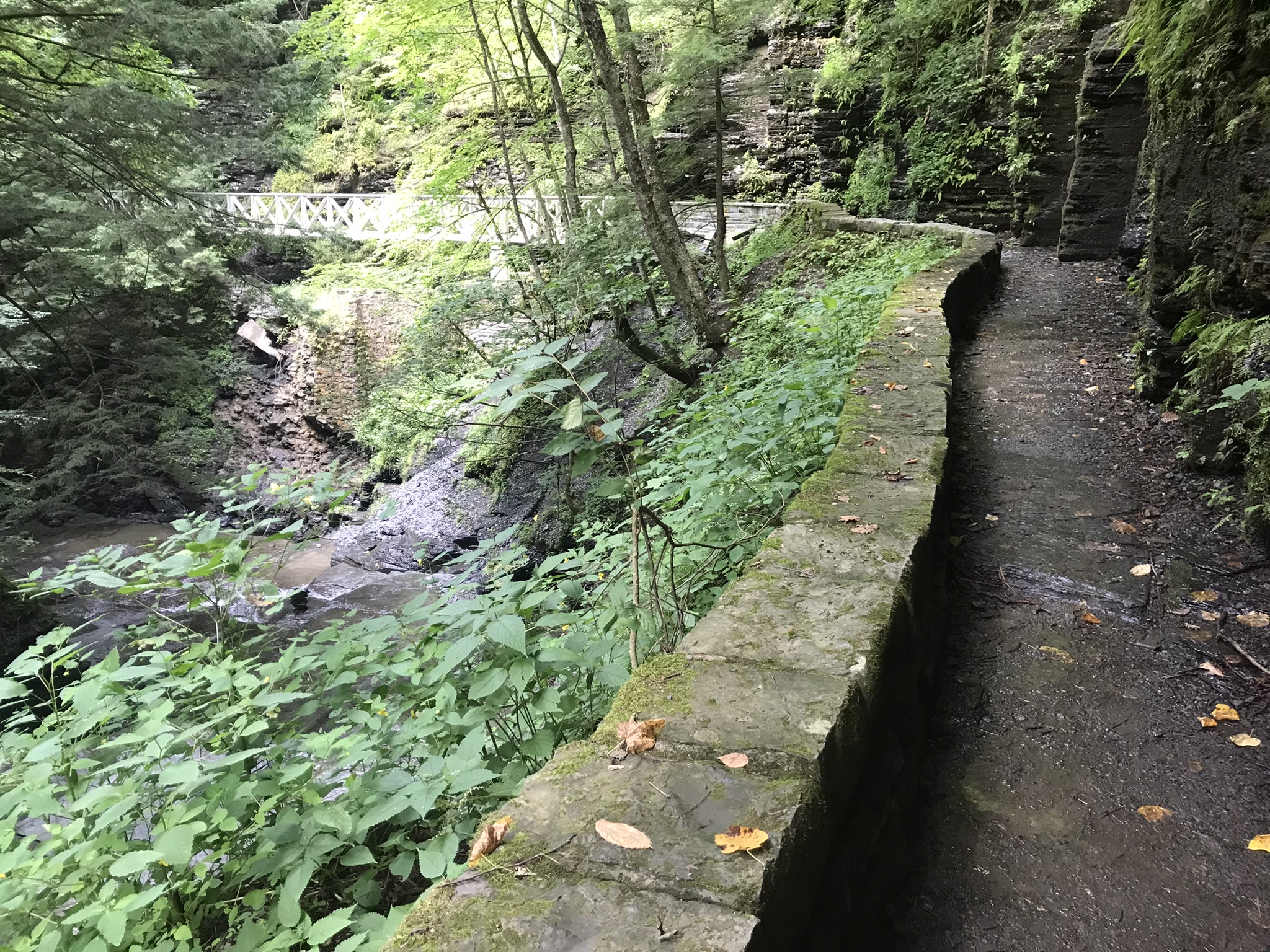
Below, the Gorge Trail runs below a sedimentary rock cliff.
Click photographs for a larger view. To do this from WordPress Reader, you need to first click the title of this post to open a new page.
Luficer Falls Overlook, northeast
Click for a slideshow of this sequence of Lucifer Falls view from the overlook.
Luficer Falls Overlook, northeastLucifer Falls from Rim Trail OverlookLucifer Falls from Rim Trail Overlook
Copyright 2022 All Rights Reserved Michael Stephen Wills