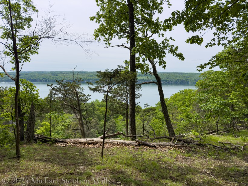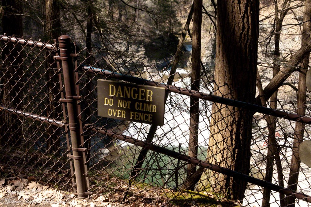
January pares the gorge to essentials. Color withdraws, sound sharpens, and the land reveals its underlying grammar—stone, water, cold, and time. Reaching Lucifer Falls by the South Rim Trail on a winter morning feels less like an initiation, a careful passage through ice-chutes and shadowed ledges where the creek rehearses its ancient work in a new key.
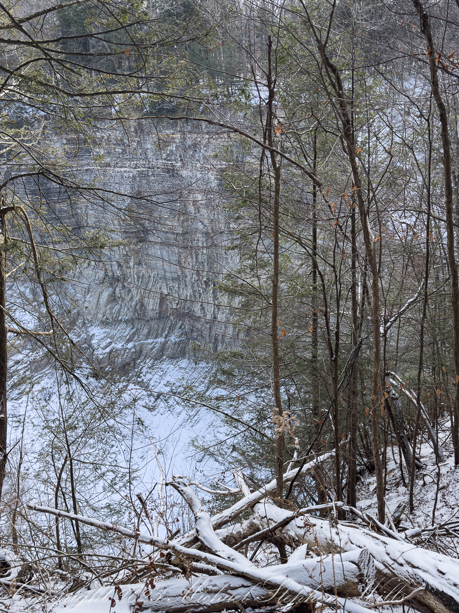
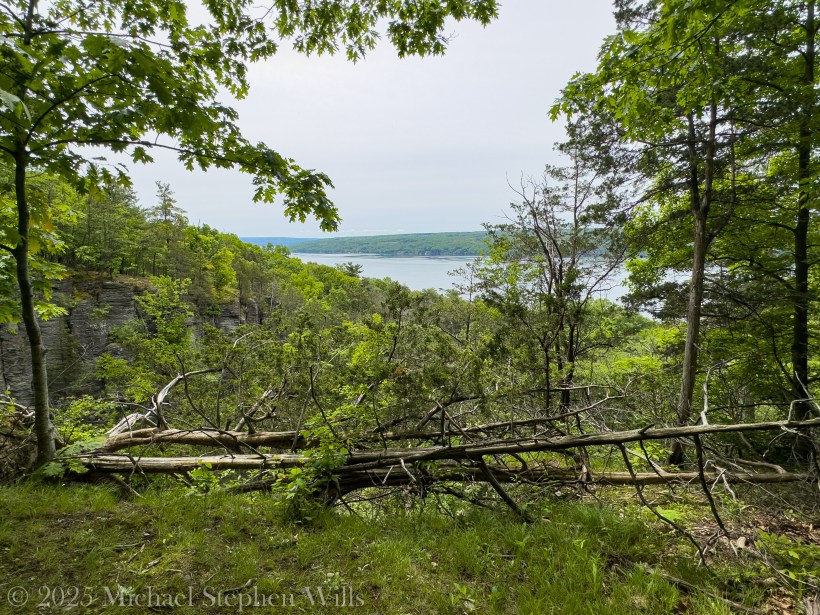
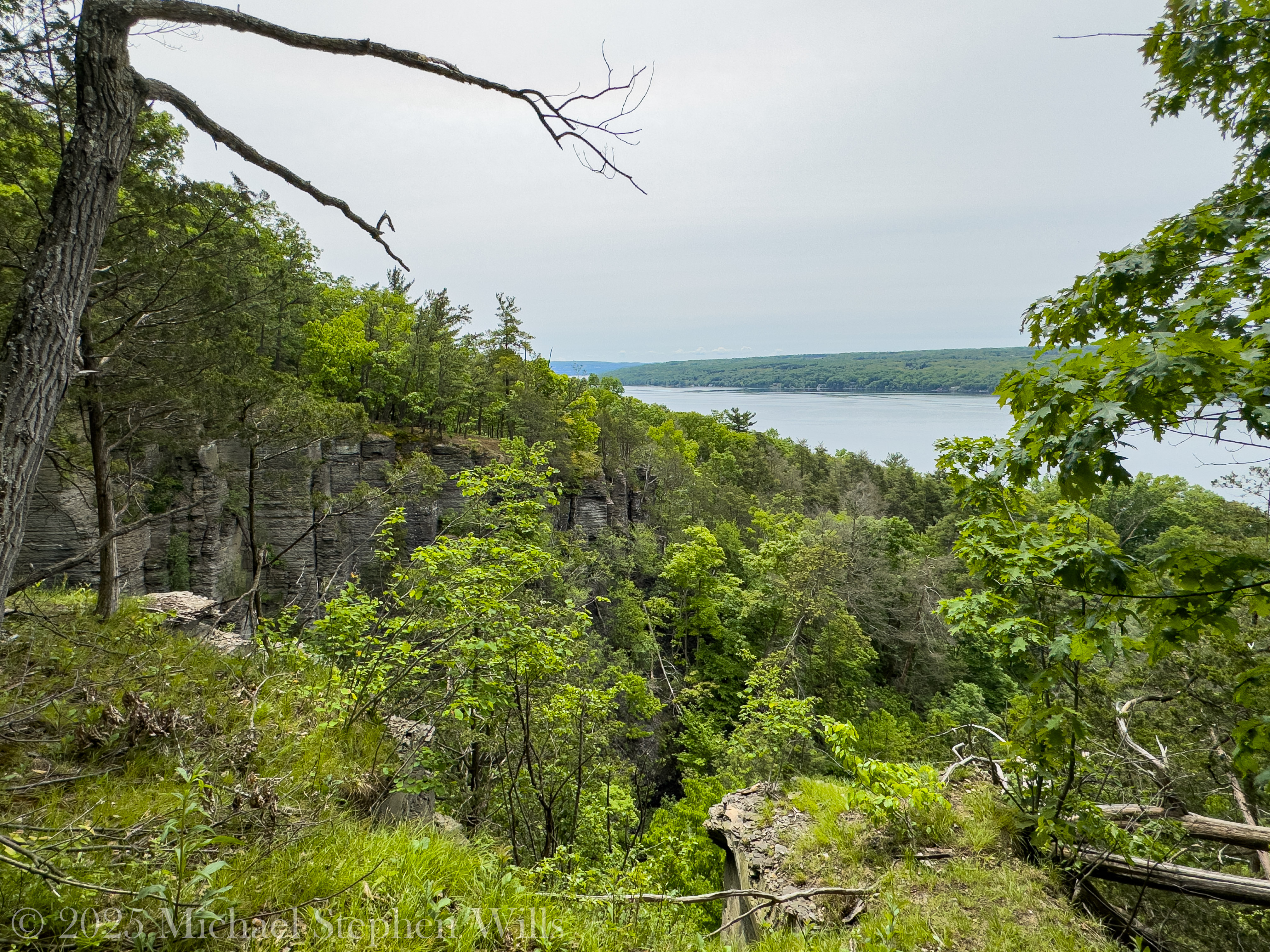
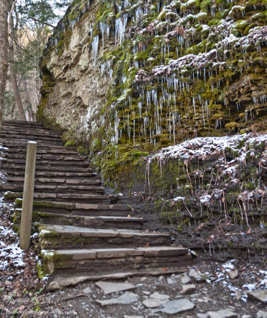
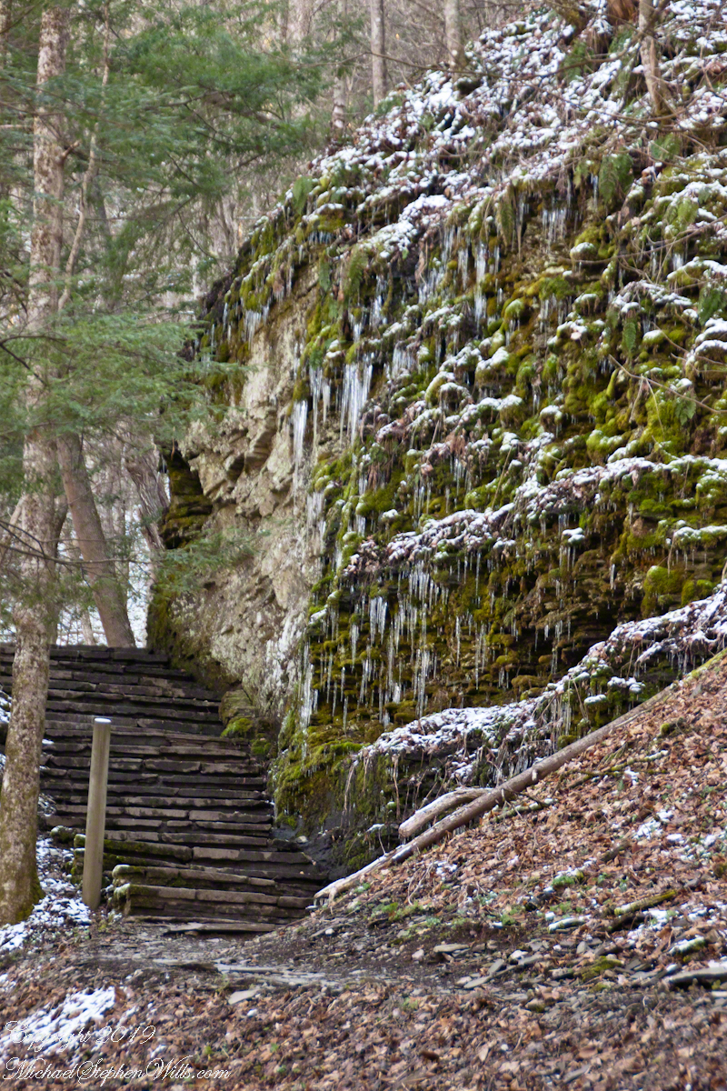
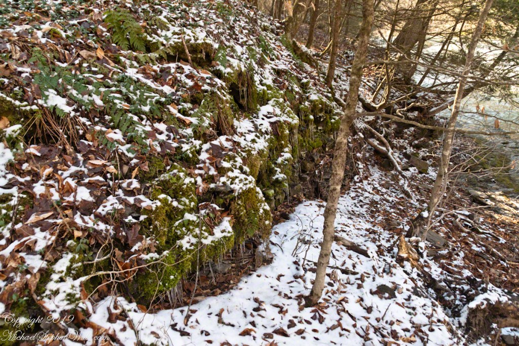
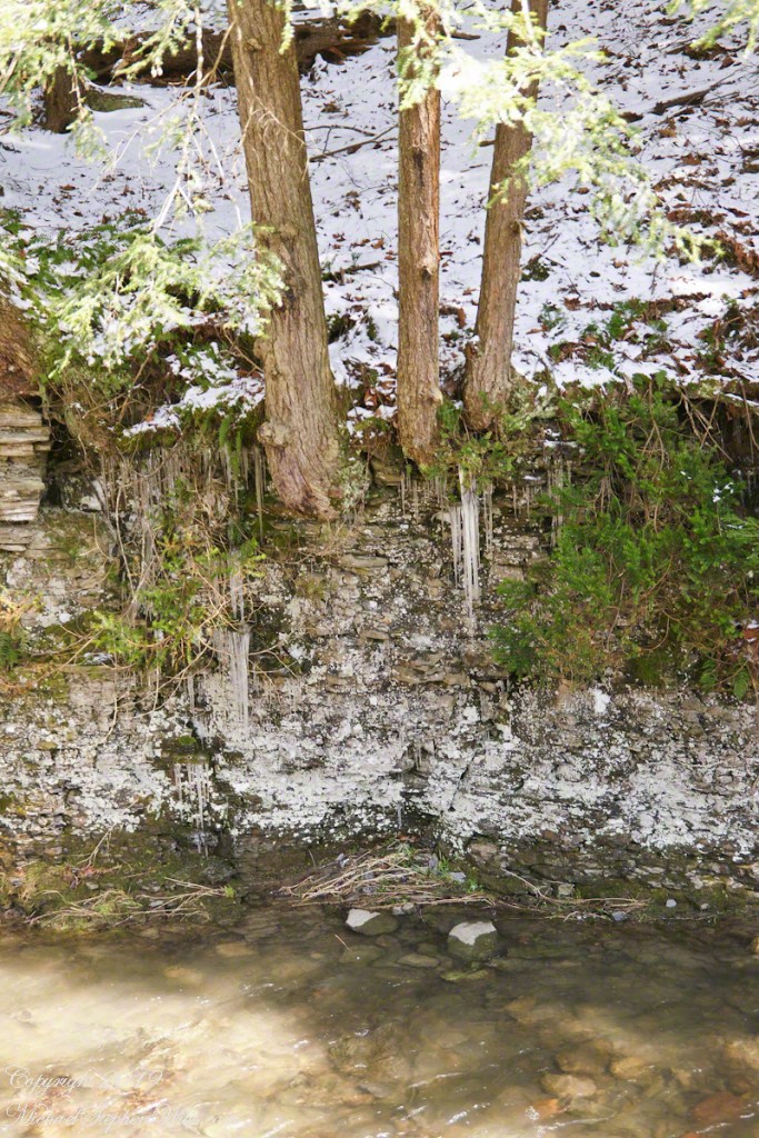
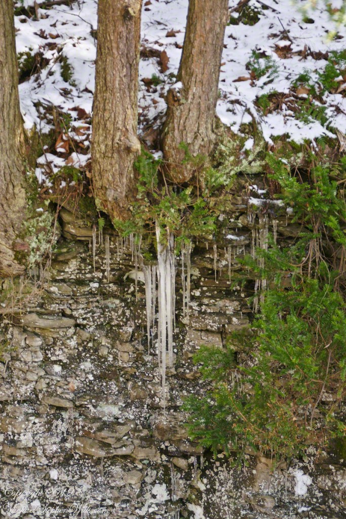
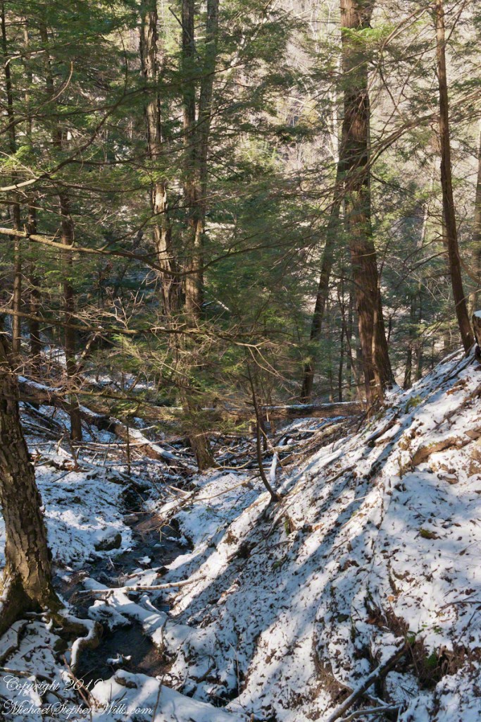
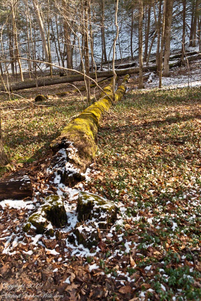
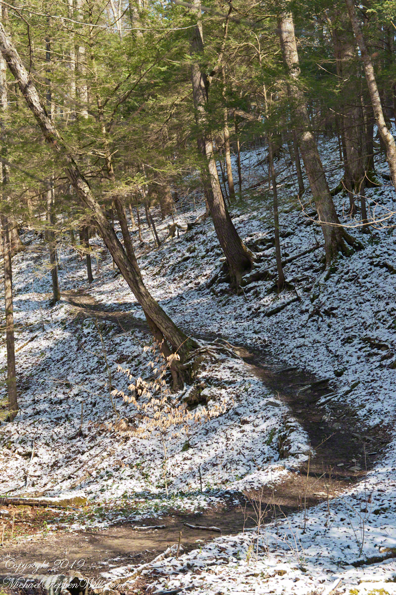
The trail begins quietly, a soft crunch underfoot where snow thins to leaf litter. Hemlocks hold their breath. The gorge opens in increments, not all at once, and the creek’s voice arrives in fragments—first a whisper, then a steady insistence. Winter edits the landscape with a clean hand. The clutter of summer understory is gone; what remains is structure: stratified shale stacked like a book left open to a single, patient chapter. Every footfall demands attention. Ice slicks the stone where seeps cross the path, and the trail teaches a winter gait—short steps, weight centered, the quiet confidence of traction earned rather than assumed.
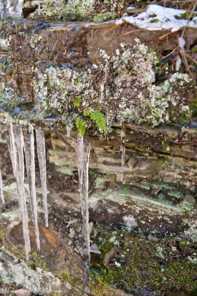
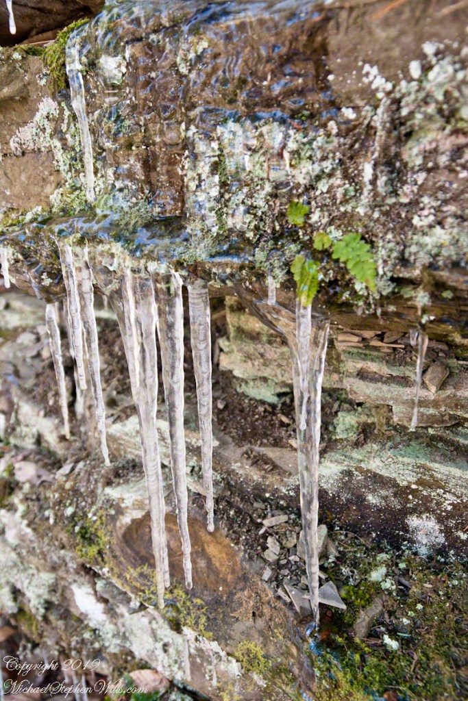
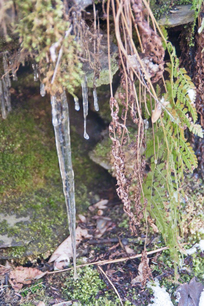
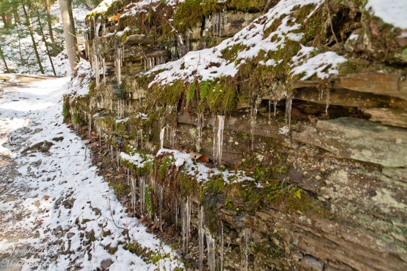
As the rim narrows, the air cools perceptibly. The gorge walls rise higher, their layered faces stippled with frost and snow. Icicles form a punctuation along ledges, commas and exclamation points caught mid-sentence. In places, the trail descends into ice chutes—steep, polished corridors where meltwater has glazed the rock. Here, the body listens more closely. Boots test, then commit. Hands brush the cold bark of a leaning tree, a borrowed handrail. There is pleasure in this concentration, the way winter insists on presence. You cannot hurry. You cannot drift.
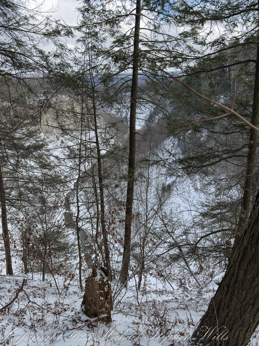
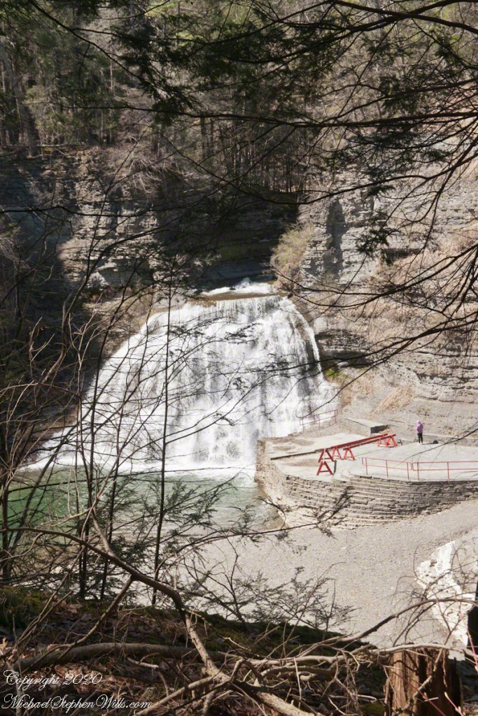
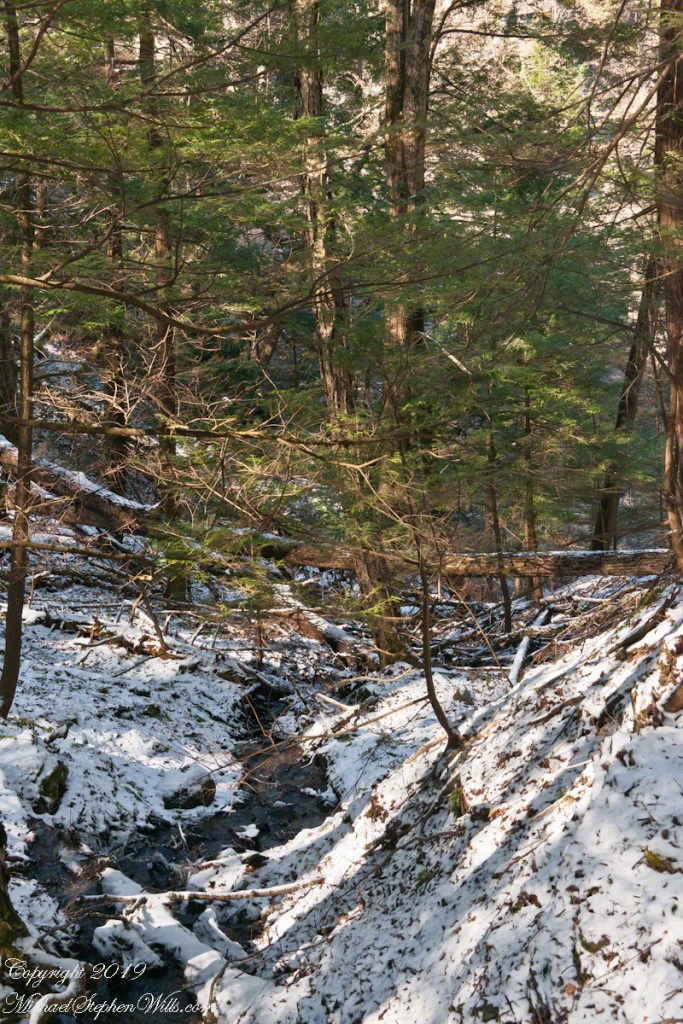
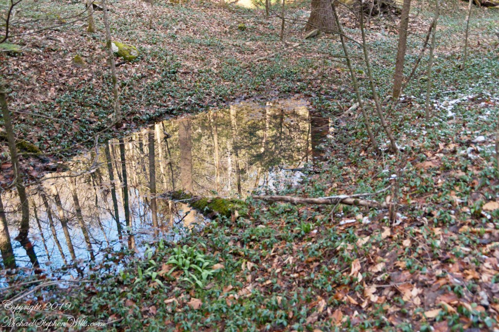
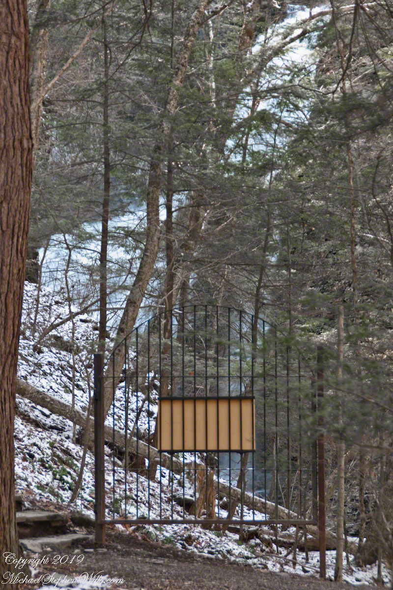
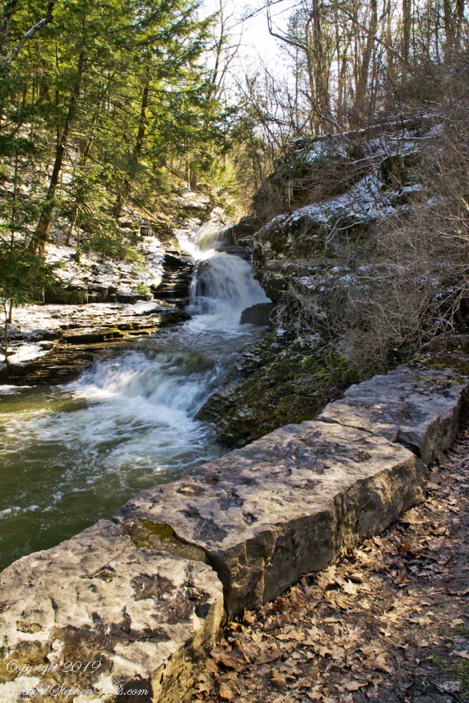
Below, the creek widens into a quiet pool, its surface a muted mirror. Thin plates of ice drift and collide, sounding a faint porcelain clink. The sound carries upward, amplified by the gorge’s acoustics, a delicate counterpoint to the deeper hush of falling water. The trail curves, and suddenly the falls announce themselves—not in full view, but as a white presence beyond the bend, a brightness lodged between walls of stone.
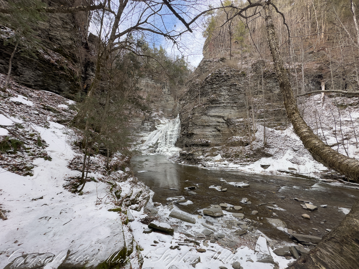
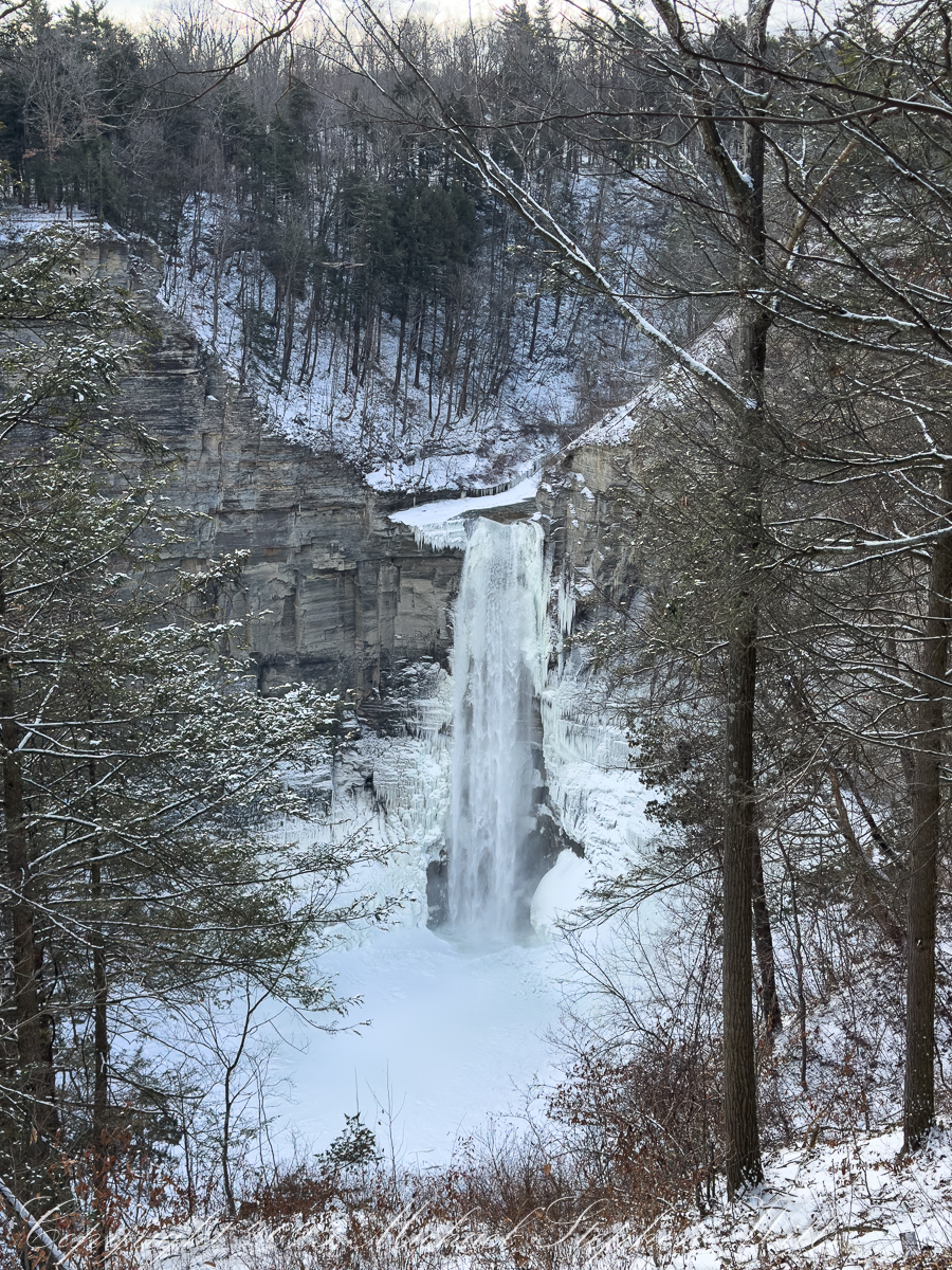
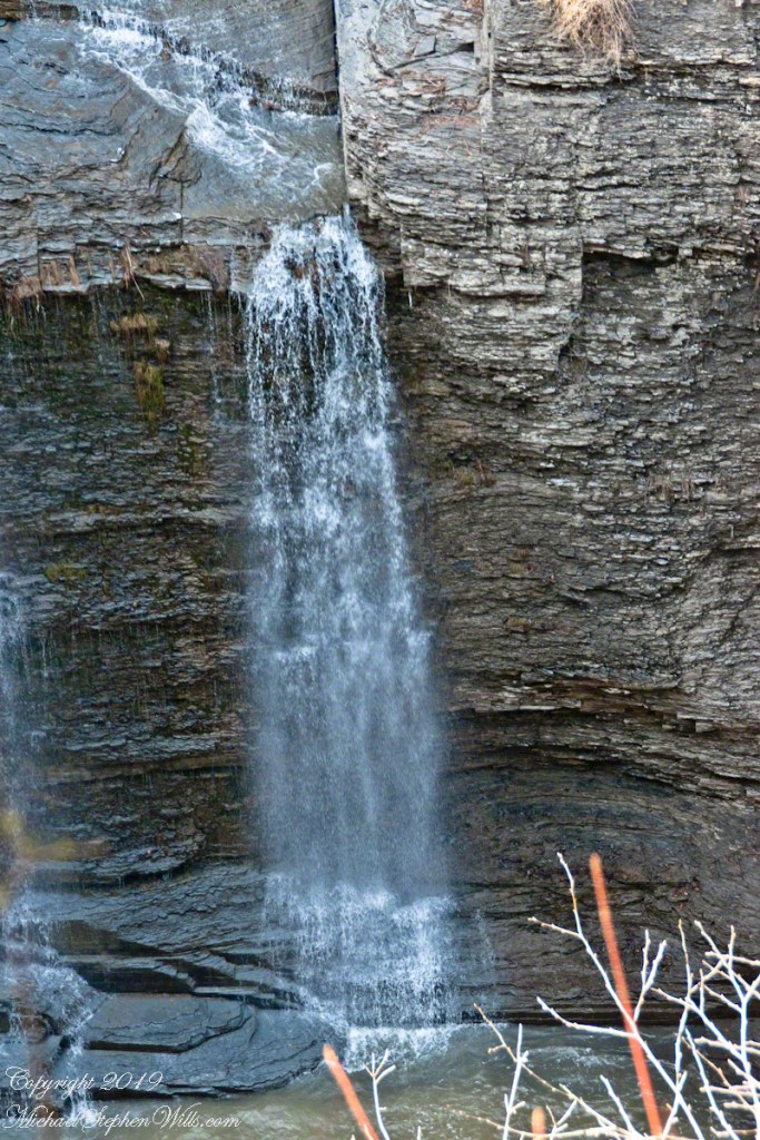
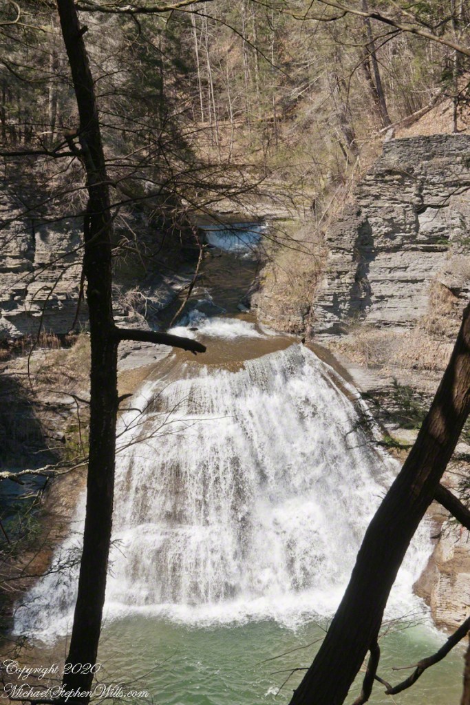
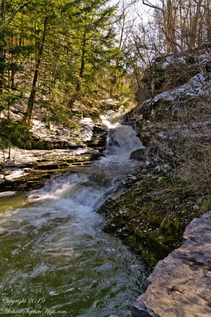
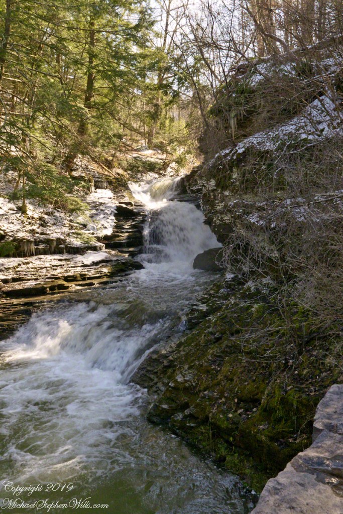
Approaching from the South Rim offers a measured reveal. First the upper cascades appear, water fanning across rock that has become a winter canvas. Ice has claimed the margins, building ribs and curtains that thicken day by day. The falls do not stop in January; they change. Water threads through ice, slips behind it, emerges again in translucent veils. Gravity persists, but its expression is altered—slower, more deliberate, sculptural.
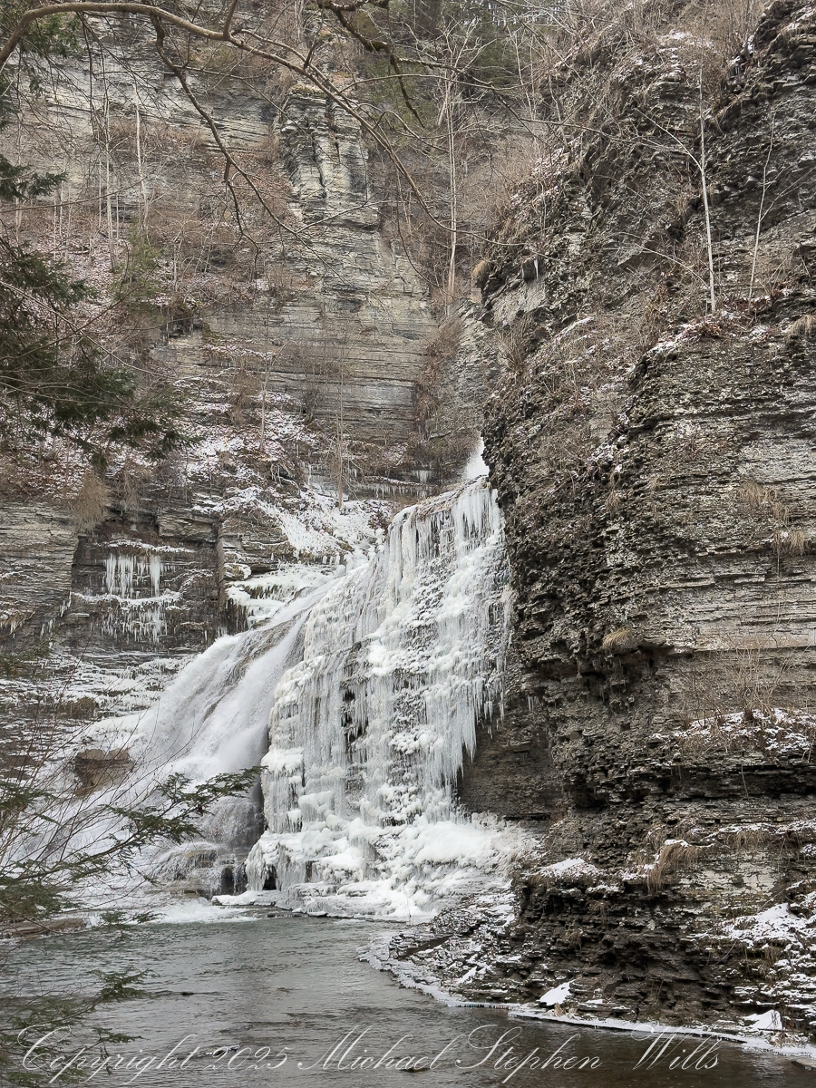
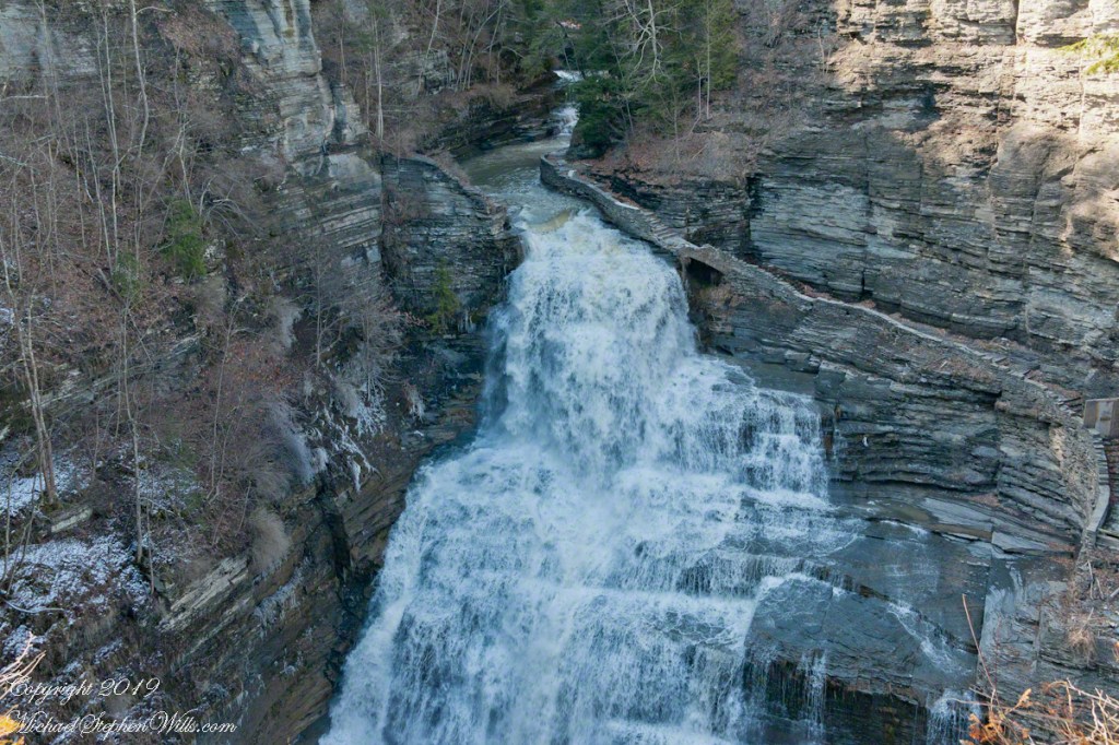
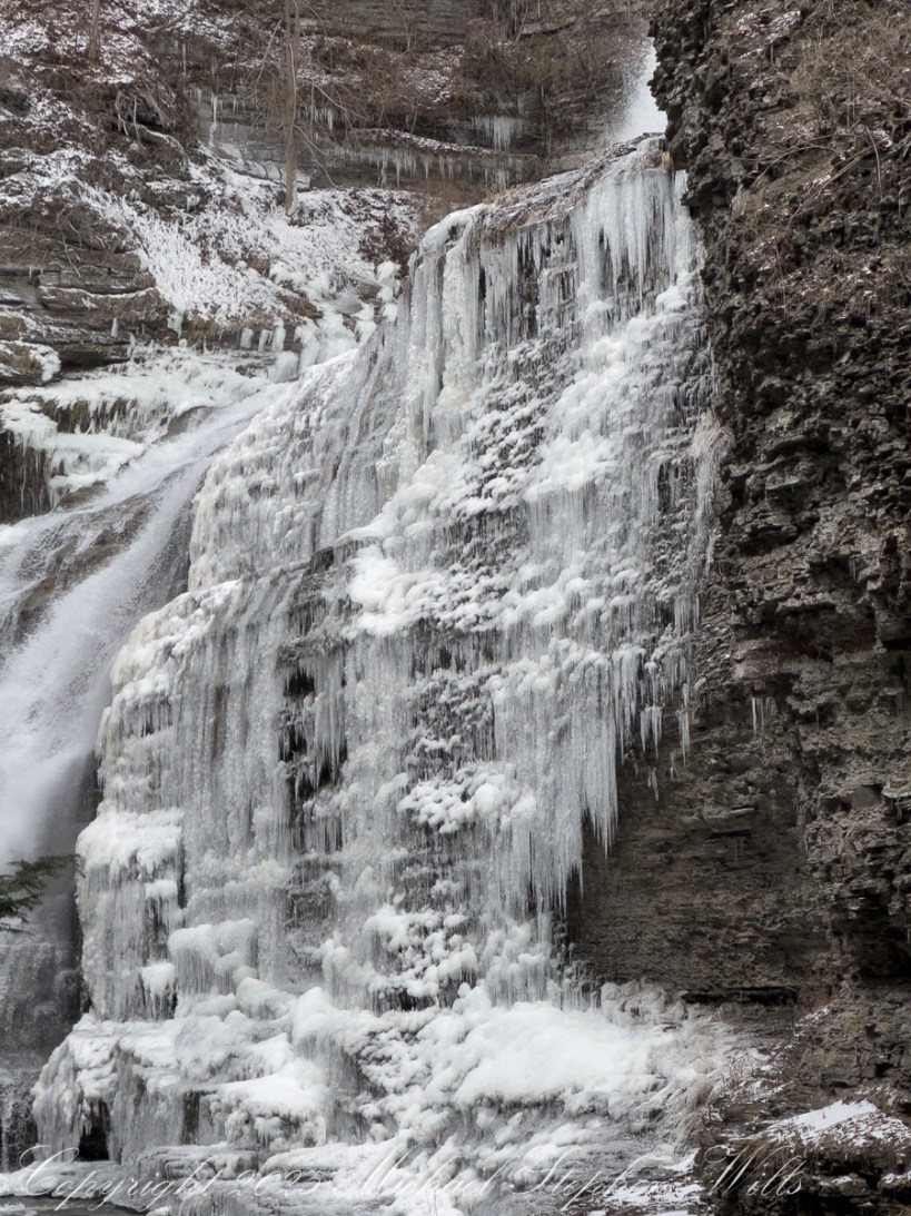
At the base, Lucifer Falls stands transformed. The familiar plunge has become a tiered architecture of frozen flow, a stepped amphitheater where icicles hang like organ pipes and snow pillows settle into hollows. The water still moves, a silver ribbon finding its way down the left flank, while the right side has grown into a cathedral of ice. The gorge walls close in, amplifying the sound—a low, resonant murmur that feels as much felt as heard.
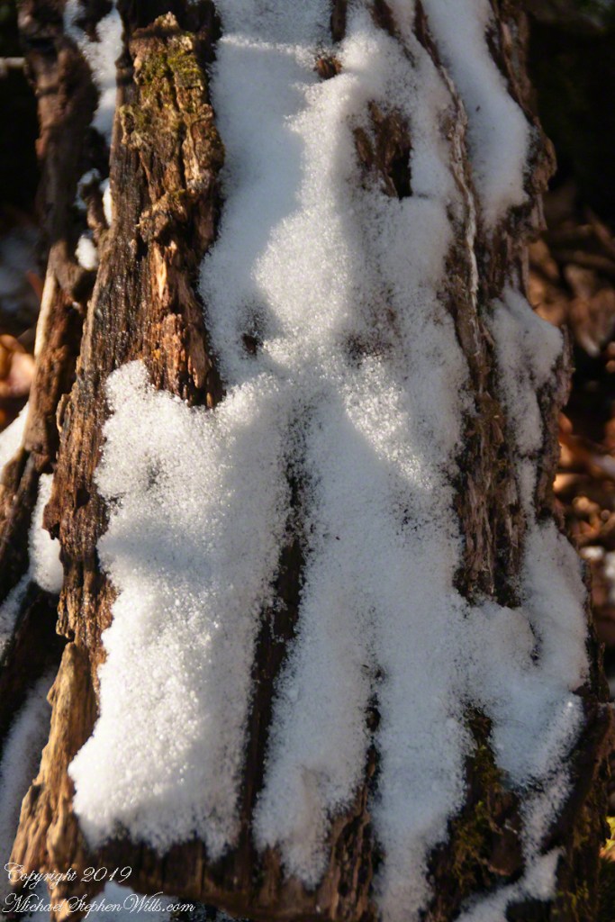
The cold sharpens every sense. Breath fogs, then clears. Fingers tingle through gloves as the camera comes out, metal biting through insulation. Framing becomes an act of translation: how to honor motion when much of it has paused; how to suggest the hidden currents beneath the frozen skin. A short video will later catch what stillness cannot—the soft shiver of water behind ice, the way the falls breathe even in winter—but for now, the eye lingers on texture and line. Shale layers echo the ice’s striations. Time repeats itself in different materials.
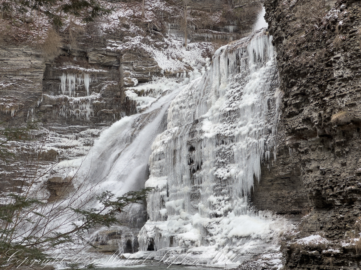
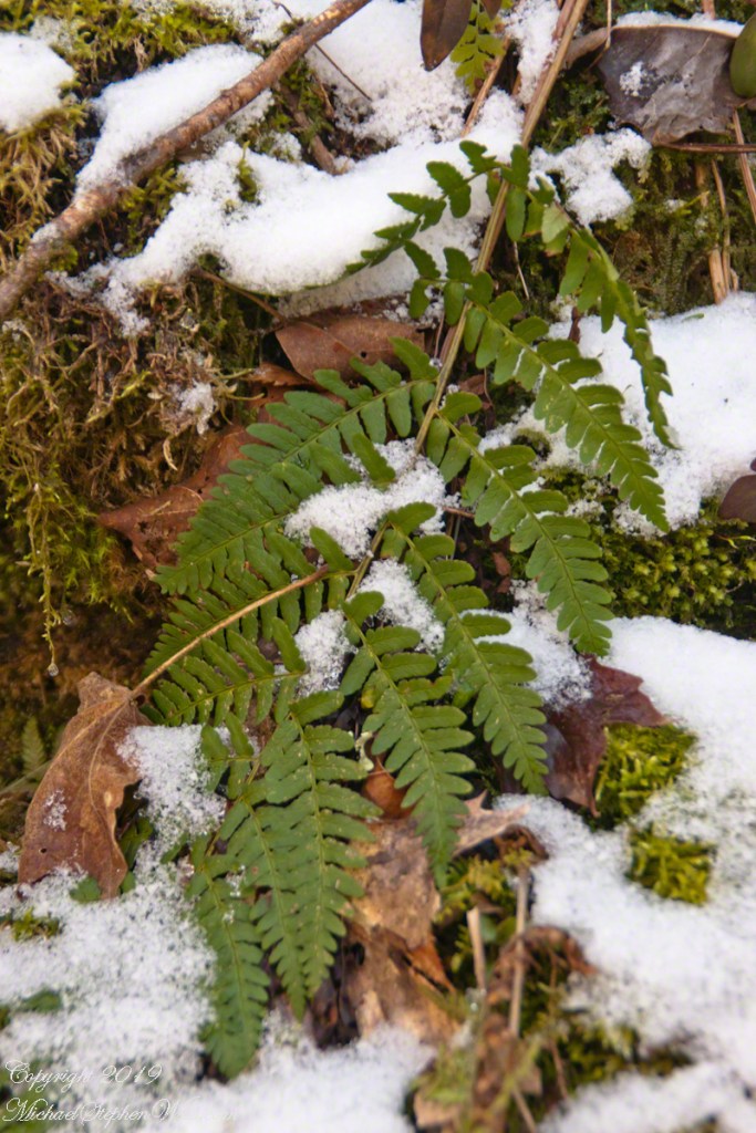
Standing there, it’s impossible not to feel the weight of deep history. These rocks remember glaciers and warmer seas; this creek has been at work since before memory had a word. January merely adds a chapter. Snow feathers the ledges. A stray sunbeam slips into the gorge, briefly igniting the ice, and then is gone. The falls return to their monochrome palette, as dignified as an old photograph.

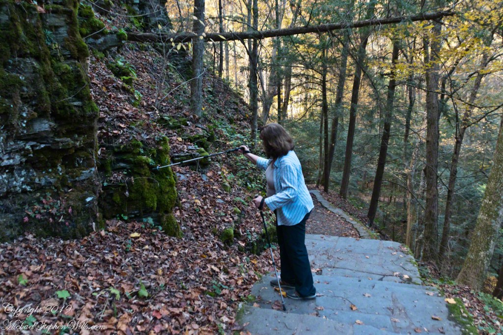
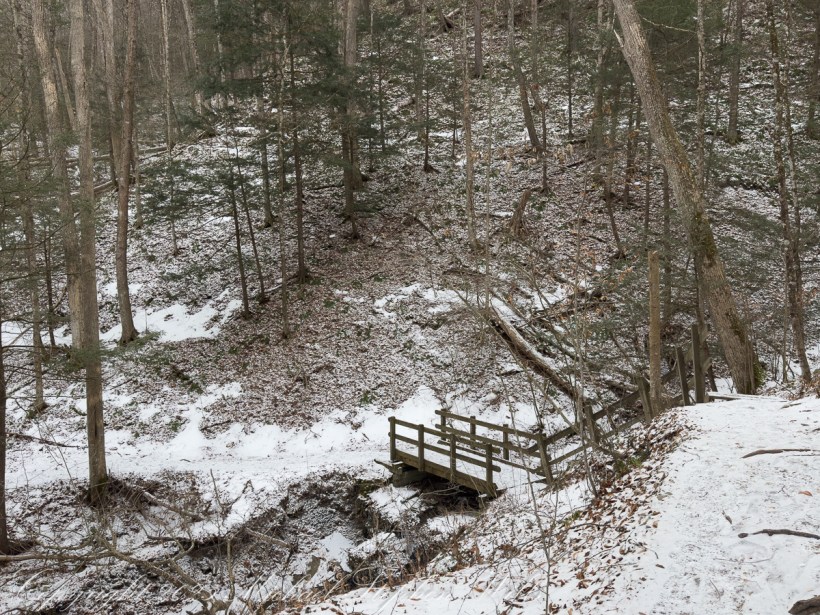
The return along the rim is lighter, the path now familiar, confidence earned. The ice chutes yield more easily on the way back, as if acknowledging the careful passage. Above the gorge, the forest resumes its quiet, and the trail leads out into the open day. What lingers is the sense of having witnessed something intimate and exacting—a winter conversation between stone and water, conducted without haste, inviting those willing to slow down and listen.
January asks little and gives much. Reaching Lucifer Falls by the South Rim is a reminder that beauty is not diminished by cold; it is clarified.