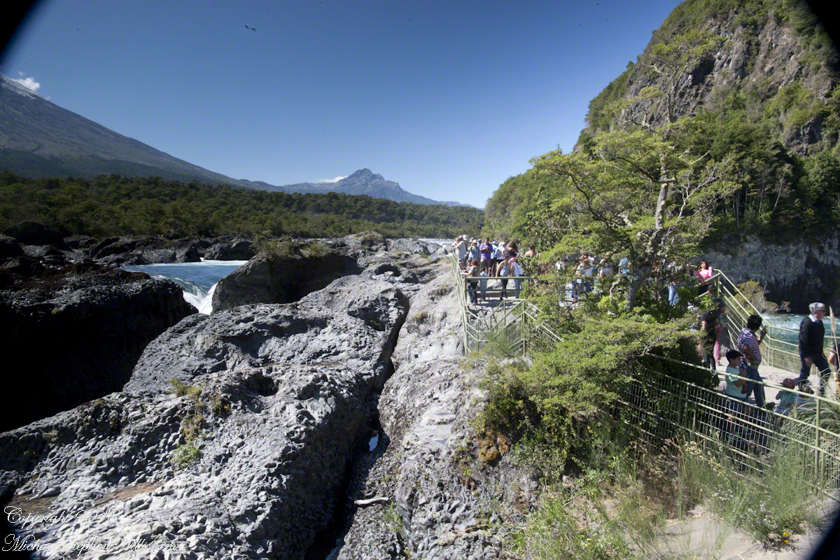
(Click any photograph to visit my online gallery)
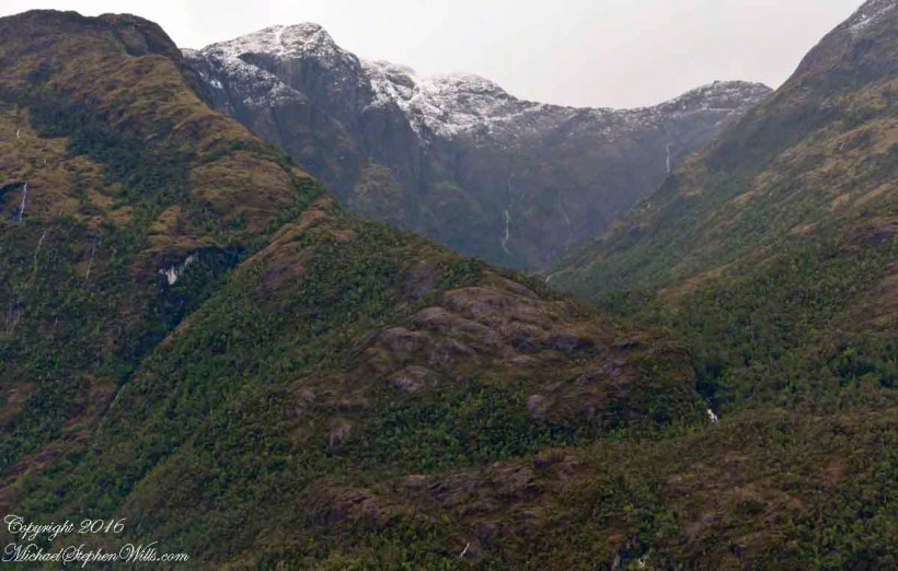
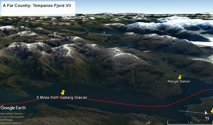
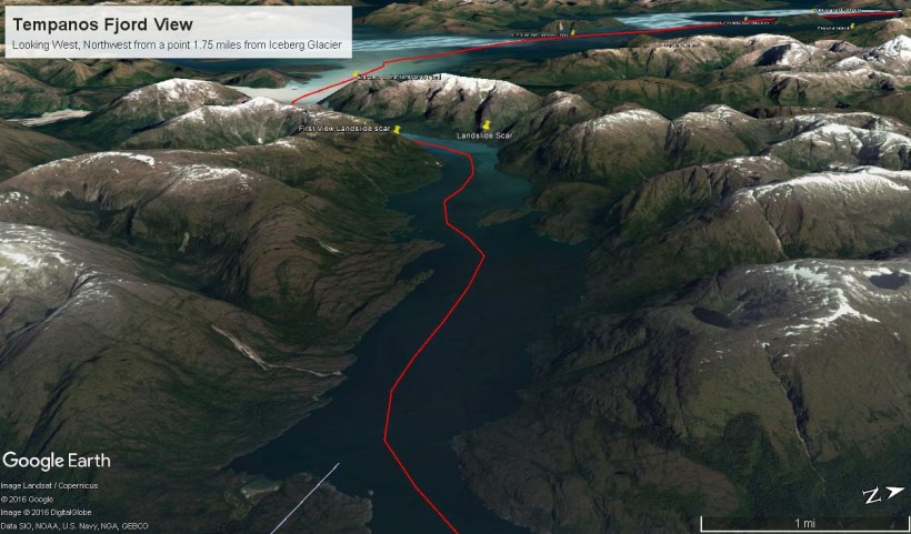
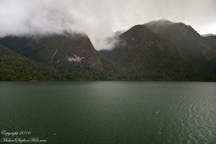
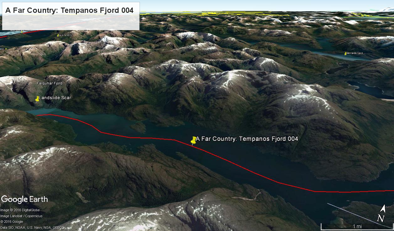
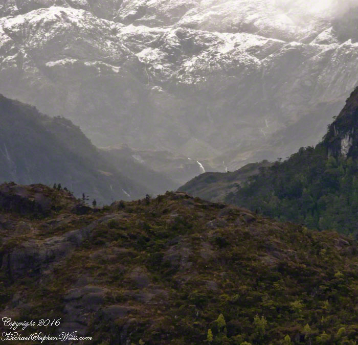
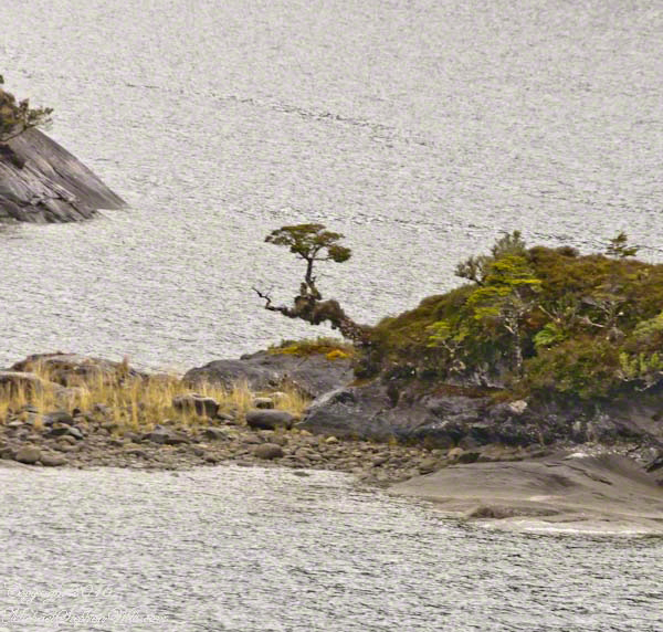
Here is a Google Earth view of Tempanos Fjord from 9,400 feet, looking north, northwest over a point on the fjord 6.5 miles from Iceberg Glacier, at 4 pm local time on February 17, 2016. This view is interesting for the insignificant island, .75 mile long, and broad mountain valley to the north fringed with waterfalls.
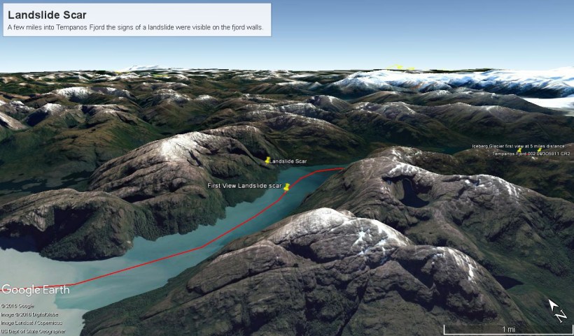
Marked is the location of a tree, “bonsai”, a feature of the fjord cliffs, “Landslide Scar” and a neighboring Fjord, “Farquhar Fjord.”
This blog features the tree.
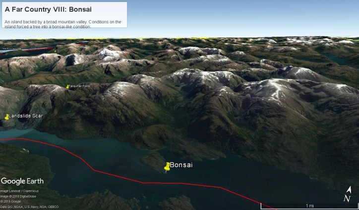
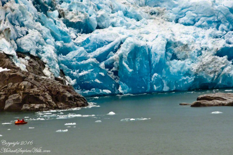
The Farquhar Fjord entrance opens onto the entrance of Tempanos Fjord and is the last photograph.
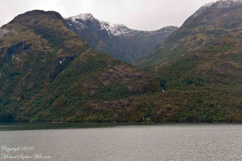
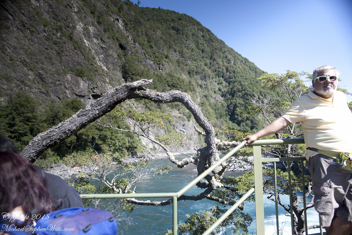
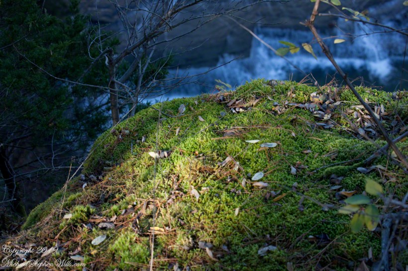
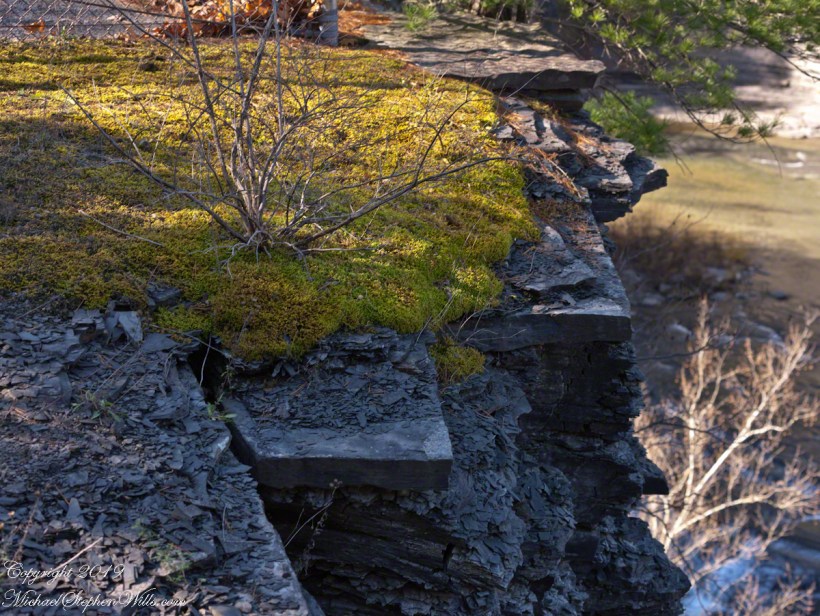
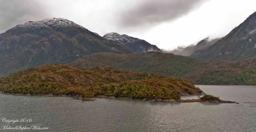
A photograph from our port side stateroom deck includes both the island and broad valley. The misshapen tree, the “bonsai”, is on an islet to the right and in front of the island. It is the small stump backlit by water reflection. The stump is more interesting than can be seen in this image from a handheld camera, at 24 mm. I used the variable lens for a closer look.
From this 133 mm, f8.0, 1/250 sec and ISO 800, still handheld, interesting details come into view. The islet is a rock on which clings a bed of moss. Several ferns, a sapling (on the far side) and a stump, on the right, are surviving. The stump presumably supported a small tree of which a “bonsai-like” twig remains.
Bonsai are fascinating, created through the art and skill of emulating pleasing natural forms. Here the moss encrusted twists and miniature tree crown were formed from a difficult environment. Bonsai of Japan originated from an ancient Chinese tradition of penjing (“tray plant”). The inspiration for this are, at origin and now, must be, in part, from admiration of the tenacity and beauty of these plants.
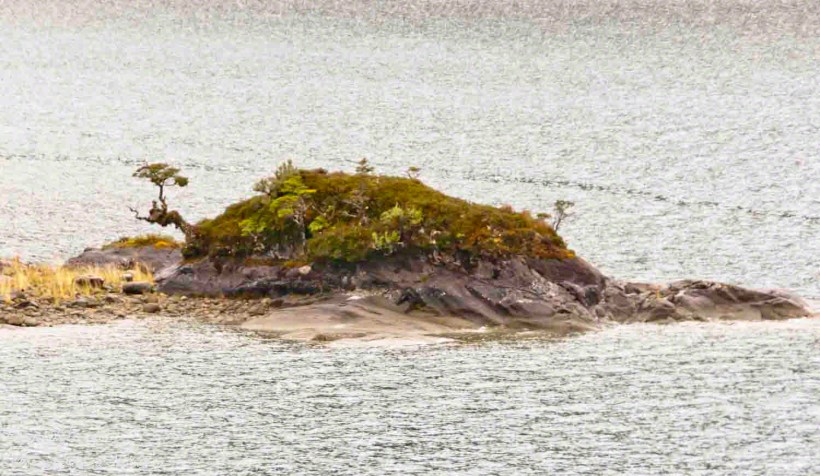
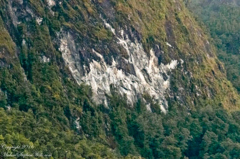
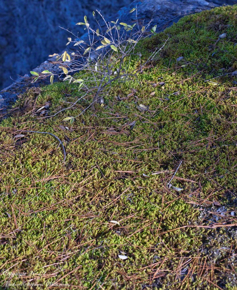
At the 200 mm maximum my Sony Alpha 770 (1/400, f9, ISO 800) image is a little fuzzy, still with great details.
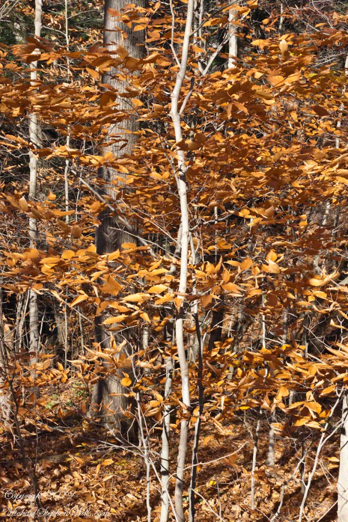
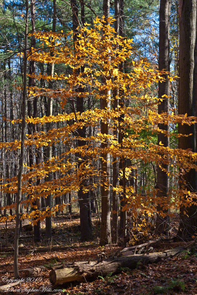
From my interest in bonsai I am on the lookout for shapes such as this. Travelling the challenging environment of the Chilean Fjords I found examples here and there.