Iquique by Sea V

Join us on a mesmerizing journey as we approach Iquique, Chile by sea, capturing the stark beauty of the coastal landscape and exploring the fascinating history of the Atacama Desert and Humberstone’s ghostly remains.

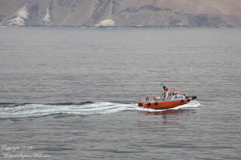
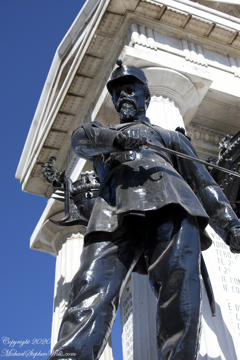
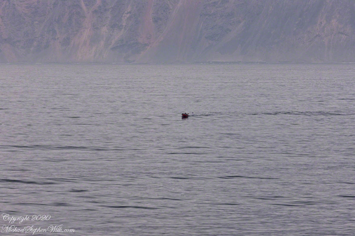
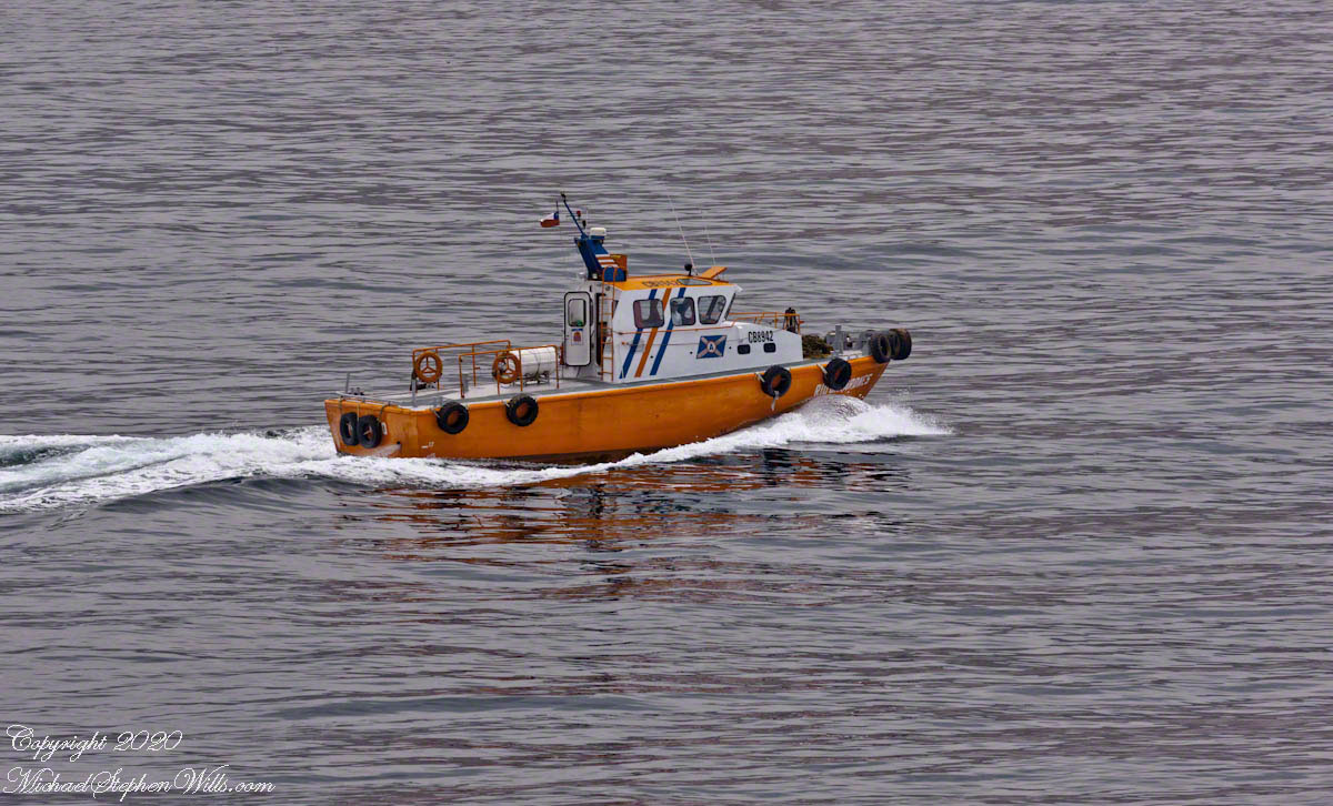
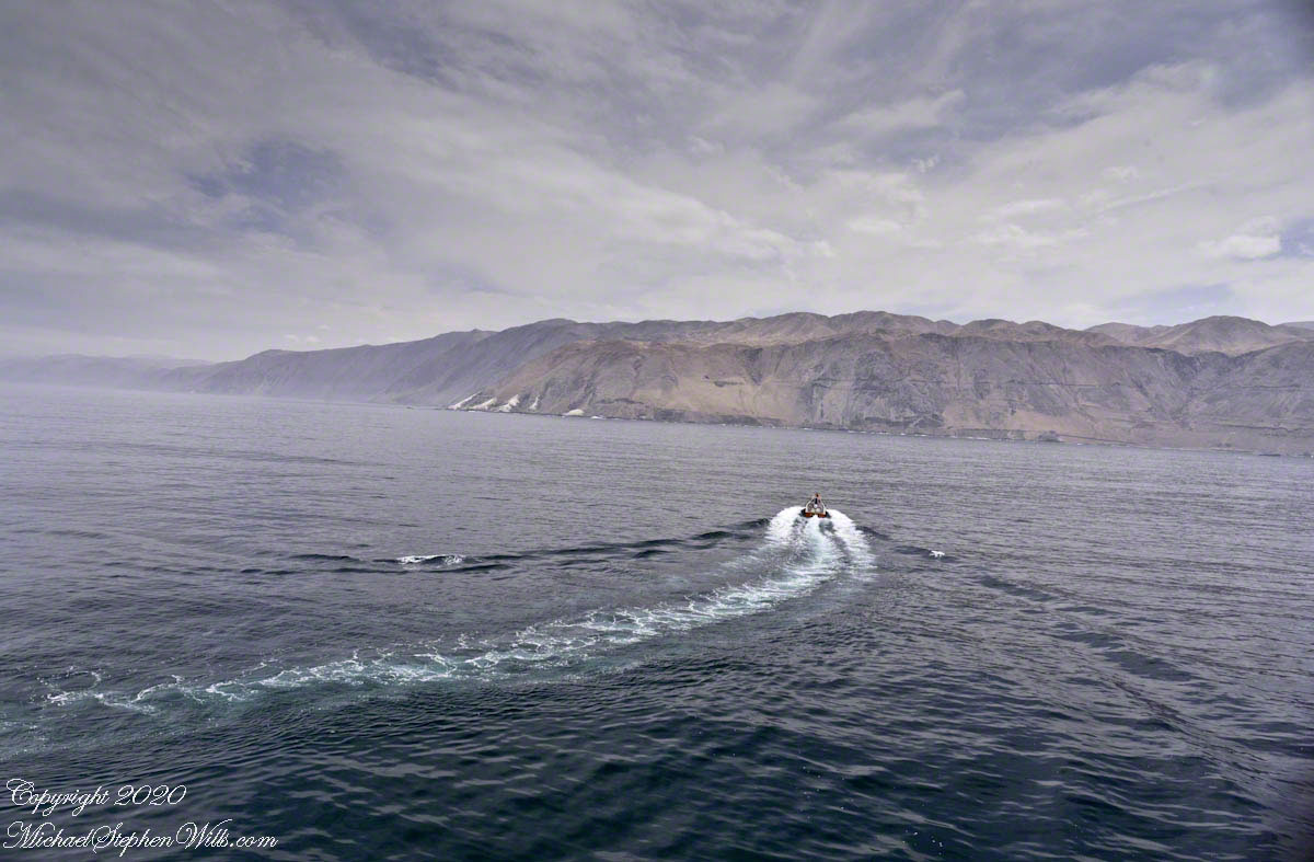
Thirty minutes have passed since Part I, and the pilot boat from Part IV is pulling away. The pilot has climbed the rope ladder up the side of the Regatta, and now the boat is pulling away, its job done for the moment.

Click any photograph for a larger view and use Ctrl-x to zoom in closer.

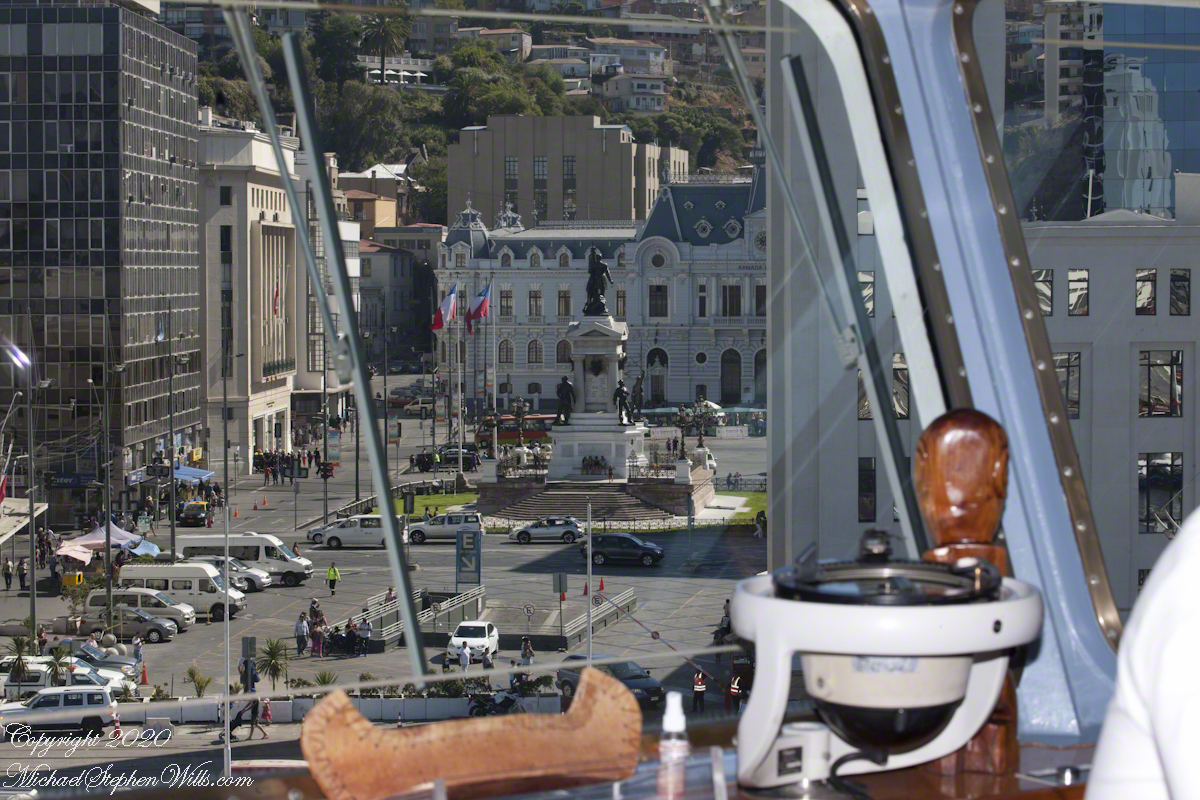
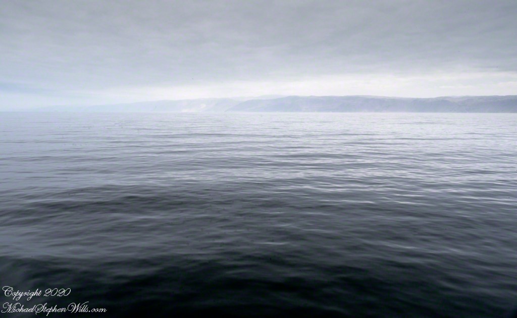
I use the wide angle (70mm) of the variable zoom lens to provide a panorama of the scene.

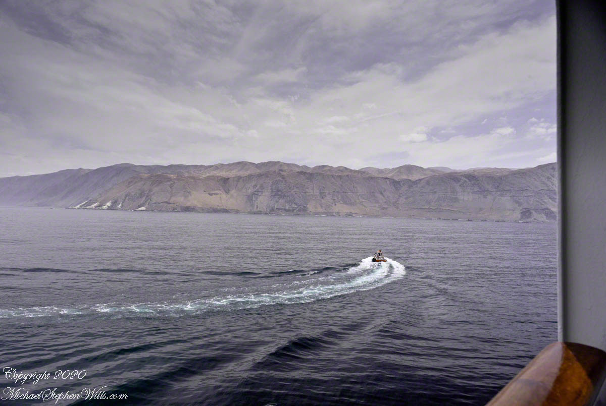
With the pilot at the helm, watched intently by the Regatta crew, the ship slowly makes its way towards the anchorage, just outside the bustling harbor. The precision and skill involved in navigating these waters are palpable. Every movement is deliberate, calculated to ensure our safe arrival.

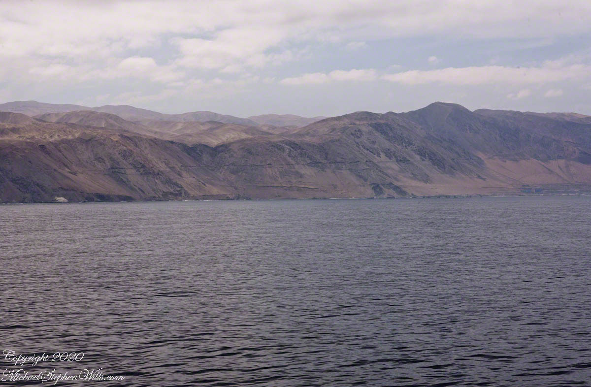
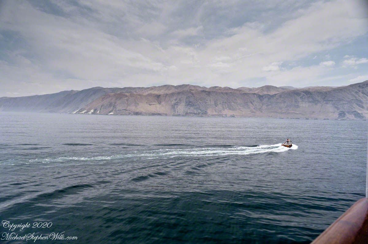
The ship will anchor outside the navigation lane, joining a cluster of fishing boats that seem to be both close yet worlds away. This juxtaposition of large cruise ships and smaller, hardworking fishing vessels highlights the diverse marine activity in these waters.

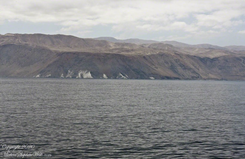
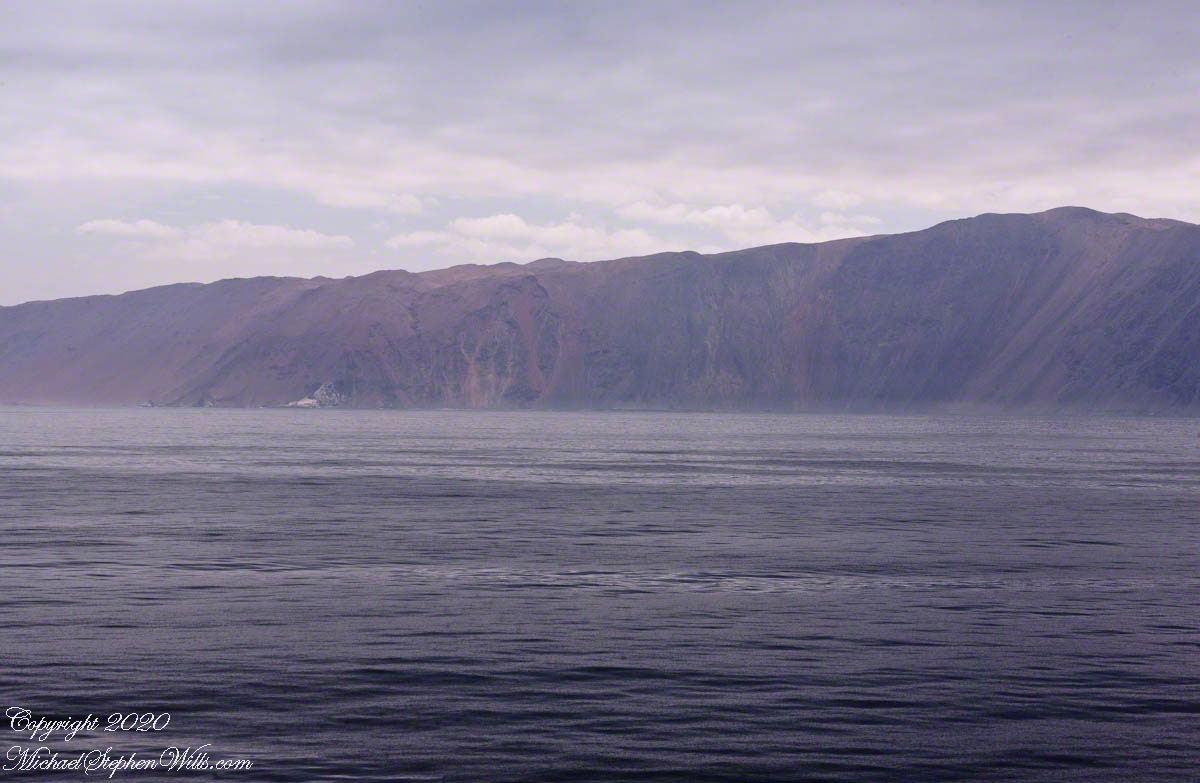
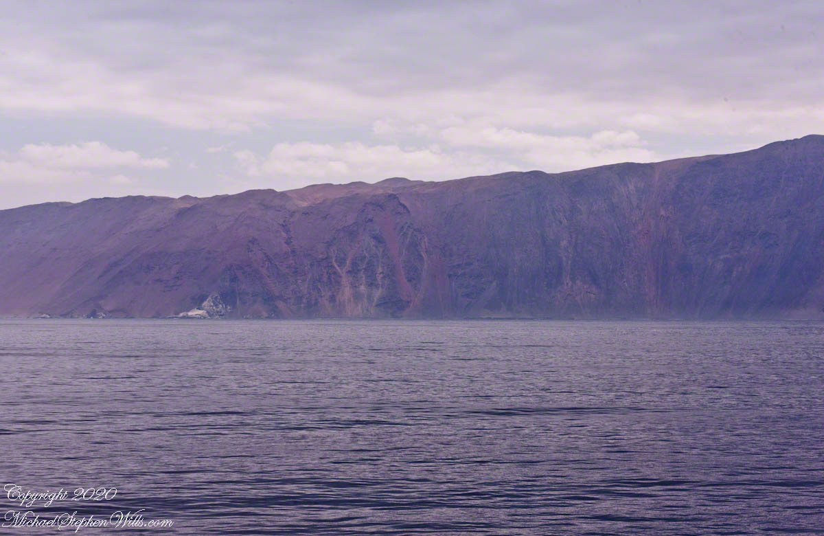
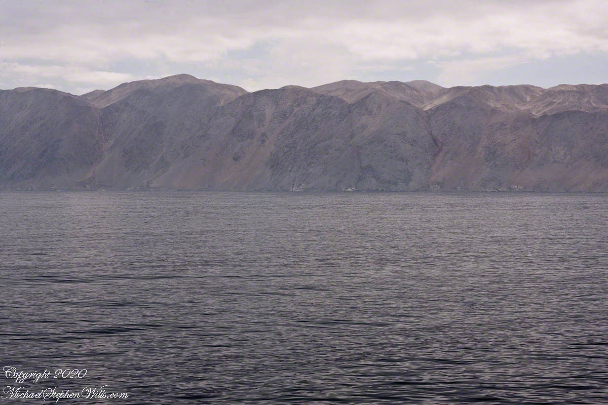
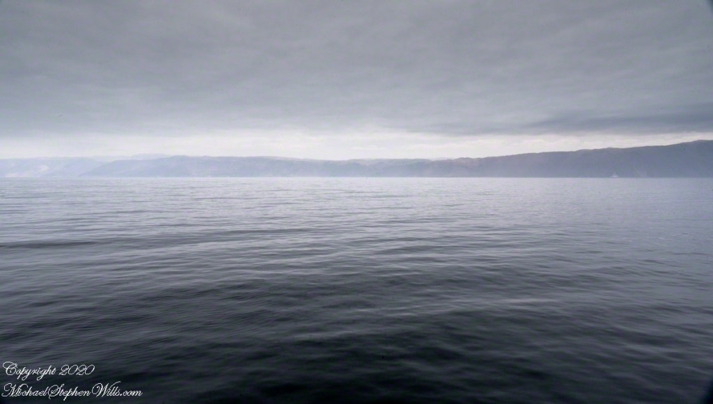
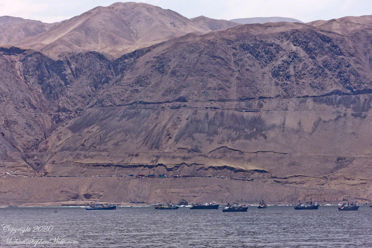
As we edge closer, I zoom into the scene to get a better look at the “dead end” highway built into the steep escarpment above the fishing boat anchorage.

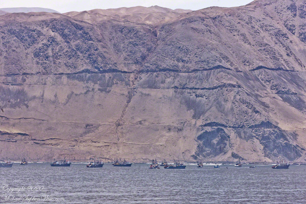
This road, carved into the rugged terrain, is where service vehicles are parked. It’s a stark reminder of the isolation and the challenges faced by those living and working in this region. The road, seemingly clinging to the side of the escarpment, underscores the harsh, arid landscape that surrounds Iquique.

There is only one road linking Iquique to the outside world, a lifeline that snakes its way through the unforgiving Atacama Desert. This single route is vital, not just for the movement of people, but for the transport of goods and services that sustain the city and its inhabitants. The resilience required to thrive in such an environment is evident everywhere you look.

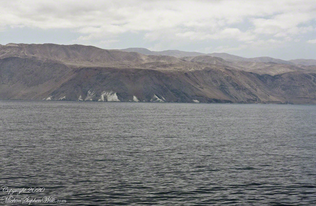
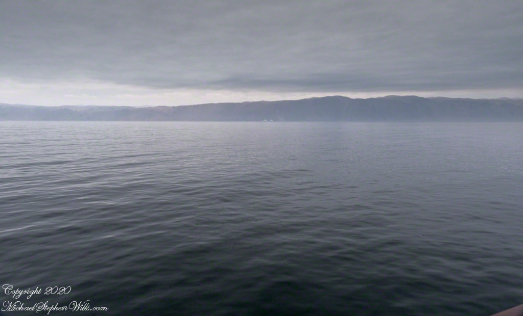
In the distance, the fishing boats bob gently on the waves, a stark contrast to the imposing cliffs that rise sharply from the sea. The boats, though dwarfed by the natural landscape, exude a quiet dignity, representing the enduring spirit of those who make their living from the ocean. The water, a deep, reflective blue, mirrors the sky above, creating a seamless blend of sea and sky, interrupted only by the rugged coastline.

Our journey today will take us beyond the city, along this solitary road to the World Heritage Site of Humberstone. Once a bustling nitrate mine, Humberstone sits on a plane above the city, a stark reminder of Chile’s rich industrial history. The site, now a ghost town, tells the story of the nitrate boom that once powered the region’s economy. As we drive, the landscape will transition from the coastal beauty of Iquique to the stark, desolate beauty of the Atacama Desert.

This is a journey through time, from the modern-day hustle and bustle of Iquique to the silent echoes of Humberstone’s past. The road a connection to the history and heritage of this remarkable region. As we venture into the heart of the desert, the stories of those who lived and worked in these harsh conditions will come alive, offering a glimpse into the resilience and determination that define the spirit of Chile.

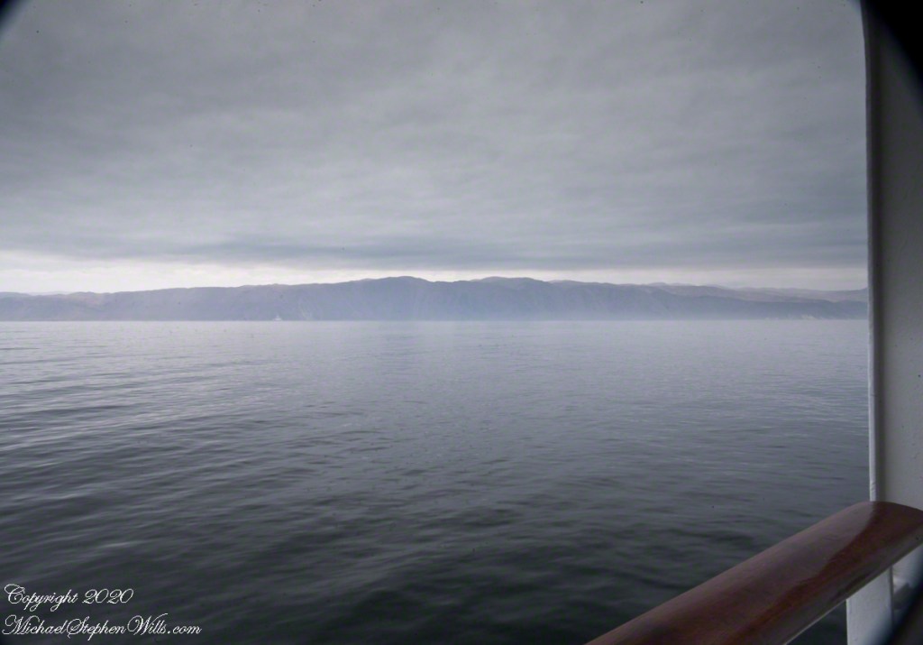
The anchorage, with its mix of modern and traditional vessels, serves as a microcosm of Iquique itself – a city where the past and present coexist, where the sea provides a livelihood, and the land tells a story of survival and adaptation. As the Regatta settles into its temporary home on the water, I feel a sense of anticipation for the adventures that lie ahead. The pilot boat, now a small speck in the distance, has done its job, guiding us safely to this point. From here, the journey continues, both on land and through the annals of history, as we set out to explore the wonders of Iquique and beyond.

Click me for the first post of this series.

Copyright 2024 Michael Stephen Wills All Rights Reserved

Iquique by Sea IV

Discover the vibrant blend of history and modern maritime traditions in Iquique. From the dramatic escarpment backdrop to the bustling harbor, join us on a journey exploring the city’s past and present, anchored in seafaring tales.

Continue reading “Iquique by Sea IV”

Iquique by Sea III

Explore the dramatic events of May 21, 1879, when Captain Arturo Prat’s heroic stand at the Battle of Iquique turned the tide of the War of the Pacific, shaping South American history. Discover the legacy of this pivotal naval encounter.

Iquique was a Peruvian city under Chilean naval blockade in May 1879 during the War of the Pacific, also called the Saltpeter War, for control of valuable nitrate deposits in the Atacama Desert. The conflict primarily involved Chile, Peru, and Bolivia, with Chile aiming to secure the resource-rich coastal regions of Bolivia and southern Peru.

The photographs illustrating this post feature Valparaiso, beginning with an overview of Plaza Sotomayor from the bridge of the ship Regatta docked in the harbor. Centered in the square is a memorial to the heroes of Iquique, a tribute to those who fought valiantly during the naval confrontations.

Click any photograph for a larger view and use Ctrl-x to zoom in closer.

View of the Monument to the Heroes of Iquique from the bridge of the Regatta.

On the morning of May 21, 1879, two older wooden Chilean ships were stationed blockading the Iquique harbor: the corvette Esmeralda, captained by Arturo Prat Chacón, and the schooner Covadonga. Out of the thick morning fog emerged two Peruvian ironclad ships, the Huáscar and the Independencia. The Huáscar, commanded by Admiral Miguel Grau, posed a significant threat to the Chilean blockade due to its superior firepower and armor.

The Heroes’ Names are listed in large letters

Facing the formidable Peruvian ironclads, the Covadonga withdrew to avoid certain destruction. Captain Prat, however, stood his ground aboard the Esmeralda. Despite being heavily outgunned and outmatched, Prat chose to engage the Huáscar. In a courageous but ultimately futile effort, Prat attempted to board the Huáscar but was killed in the process, and the Esmeralda was subsequently destroyed with a great loss of life.

Each corner features a larger than life statue representing the heroes

The Battle of Iquique ended with a Peruvian victory, temporarily lifting the blockade and opening the port. However, the heroism displayed by Captain Prat and his crew had a profound impact on Chilean morale. News of their bravery spread rapidly, galvanizing the Chilean population and military. Prat’s sacrifice became a symbol of national pride and determination, fueling Chile’s resolve to win the war.

One figure is Captain Prat

The outcome of the War of the Pacific was a decisive victory for Chile. By the end of the conflict in 1884, Chile had gained significant territories from Peru and Bolivia, including the nitrate-rich provinces of Tarapacá and Antofagasta. These territorial acquisitions provided Chile with substantial economic benefits due to the lucrative nitrate mines, which were crucial for agricultural fertilizers and explosives.

The War of the Pacific had far-reaching consequences for the region. Bolivia lost its coastal territory, becoming a landlocked country, which has had lasting implications on its economic development and geopolitical strategy. Peru, on the other hand, was forced to cede valuable territories and endured a period of economic hardship and political instability following the war.

Today, the Battle of Iquique is commemorated annually in Chile on Naval Glories Day (Día de las Glorias Navales) on May 21st. This national holiday honors the bravery of Captain Prat and his men, serving as a reminder of their sacrifice and the pivotal role the battle played in Chilean history.

In summary, the blockade of Iquique and the ensuing naval battle were significant events in the War of the Pacific. They highlighted the strategic importance of naval power and the impact of individual heroism on national morale. The war reshaped the territorial boundaries in the region, with lasting economic and political effects that continue to influence the countries involved.

Click me for the first post of this series.

Copyright 2020 Michael Stephen Wills All Rights Reserved

Iquique by Sea II

Explore the rugged beauty of Chile’s Atacama Desert coast as we approach Iquique. Discover the historical significance of ghost towns and the stunning natural landscapes captured through a zoom lens from our cruise ship.

As we continue our approach to Iquique, the landscape unfolds with increasing clarity and detail after I swapped out the 24 mm lens with a variable “zoom”, 70 – 300mm. The ship’s slow progress offers ample time to observe and absorb the stark beauty of the coastline. The variable lens captures the rugged intricacies of the cliffs and the subtle hues of the arid landscape that rise abruptly from the Pacific Ocean.

Click any photograph for a larger view and use Ctrl-x to zoom in closer.

Caleta Buena, the ghost town perched at the foot of a 750-foot escarpment, is no longer in sight. This once-thriving nitrate shipping point is a haunting reminder of the region’s historical significance in the nitrate mining industry. The small bay, or “caleta,” provided just enough shelter to construct piers and docks, facilitating the transportation of this valuable mineral. The remnants of this enterprise are barely visible, blending seamlessly into the harsh terrain.

The juxtaposition of the nutrient-rich Humbolt Current against the barren cliffs is a sight to behold. The current, teeming with marine life, supports the local fishing industry. I manage to capture a small fishing boat setting out for the day, its solitary presence emphasizing the vastness and solitude of the surrounding ocean. The boat’s journey highlights the symbiotic relationship between the sea’s bounty and the livelihood of those who brave its waters.

Moving southward, the cliffs give way to a formidable pediment, a broad, sloping surface that forms the base of the coastal mountains. This pediment, barren and uninviting, is a testament to the geological forces that have shaped this region. The harsh environment, with its minimal vegetation and arid conditions, stands in stark contrast to the vibrant marine ecosystem just offshore.

Our ship’s slow advance allows for contemplation of this unique landscape. The term “the imprint of God’s thumb on the land” resonates deeply as I witness the natural formations that seem almost intentional in their design. The cliffs and pediment, while imposing, serve as a prelude to the more hospitable terrain that lies ahead.

Approaching Punto Negro, the cliffs begin to recede, revealing a more accessible coastline. This geographical shift creates a natural harbor that has enabled the establishment and growth of Iquique. The city, with its deep-rooted history in the nitrate industry, emerges as a beacon of human resilience and adaptation in an otherwise unforgiving landscape.

Iquique’s strategic location, nestled between the receding cliffs and the ocean, provides a unique blend of natural beauty and industrial significance. The city’s development is intricately linked to the geographical features that surround it, from the nutrient-rich waters of the Humbolt Current to the protective embrace of the coastal cliffs.

As the Regatta inches closer to port, the anticipation builds. The approach to Iquique is not merely a physical journey but a voyage through time and nature’s grandeur. Each photograph, each observation, adds a layer to the rich tapestry of this experience. The slow, deliberate pace of the ship allows for a deeper appreciation of the intricate interplay between land and sea, history and progress.

In these moments of quiet reflection, I feel a profound connection to the land and its stories. The approach to Iquique is a reminder of the delicate balance that sustains life in this harsh yet beautiful corner of the world. It is a journey that underscores the resilience of both nature and humanity, each adapting to and shaping the other in an ongoing dance of survival and growth.

Click me for the first post of this series.

Copyright 2024 Michael Stephen Wills All Rights Reserved

Iquique by Sea I

Join me on an early morning approach to Iquique, Chile, as we sail past the stark, mesmerizing Atacama Desert coastline. Experience the serene isolation and rugged beauty captured from the balcony of our cruise ship.

Standing on the balcony of our port side stateroom, the early morning light casts a subdued, almost ethereal glow over the vast expanse of the Pacific Ocean. The Oceania Regatta glides smoothly through the cold, dark waters, making its way toward Iquique, our first Chilean port of call. The sense of anticipation is palpable as we approach the coast of the Atacama Desert, a region renowned for being the driest place on Earth.

The view is both stark and mesmerizing. The coastline of the Atacama Desert rises sharply from the Pacific, a dramatic contrast to the vast, cold ocean that stretches out before us. The Humbolt current, a cold, nutrient-rich flow of water from southern Chile to northern Peru, swirls beneath the ship, adding a sense of dynamic movement to the scene. The chilly air, the muted colors of the sea and sky, and the barren, rugged landscape all combine to create an atmosphere of serene isolation.

In the distance, I imagine a dark point of land—the remnants of the abandoned town of Caleta Buena. Perched on a 750-foot escarpment, the town was once a bustling hub of nitrate mining, a vital industry that shaped the history of Iquique. The remains of piers jutting out into the ocean stand as silent witnesses to a bygone era, their weathered structures blending into the rugged coastline.

The sequence of photographs I’ve captured from this vantage point, working north to south, offers a panoramic view of this desolate yet captivating landscape. Using a 24 mm “wide angle” Canon lens mounted on a tripod, I’ve been able to frame the vastness of the ocean and the stark beauty of the Atacama coastline in a single, sweeping seascape.

Reflecting on our overnight journey from Matarani, Peru, I’m struck by the profound sense of isolation that accompanies travel along this desolate coast. During the 250-mile sail, the darkness was absolute, the inky blackness of the night broken only by the occasional glimmer of stars reflected in the ocean below. It was a journey through a void, a stark reminder of the sheer scale and remoteness of this part of the world.

As we draw closer to Iquique, the coastal mountains rise up, marking the transition from the Pacific to the arid plains of the Atacama Desert. The stark beauty of this landscape, with its rugged cliffs and barren expanses, is both humbling and awe-inspiring. It’s a reminder of the harsh conditions that have shaped this region, and of the resilience of the people who have carved out a living here over the centuries.

From the balcony of our stateroom, I feel a deep sense of connection to this place. The vastness of the ocean, the stark beauty of the desert coastline, and the rich history of the region all combine to create a profound sense of place. This is a land of extremes, a place where the forces of nature have sculpted a landscape of breathtaking beauty and unforgiving harshness.

As we approach Iquique, I feel a sense of gratitude for the opportunity to witness this unique corner of the world. The journey is a reminder of the incredible diversity and beauty of our planet, and of the importance of preserving these natural wonders for future generations. This approach to Iquique is a journey to a new port, a journey into the heart of one of the world’s most remarkable landscapes.

Copyright 2024 Michael Stephen Wills All Rights Reserved

Quaker Settlement Series 1

Discover the solemn beauty of Quaker Settlement Cemetery through my lens, where intricate slate headstones whisper tales of early settlers, intertwining family lore with the artistry of marble willows

On my way to Taughannock Falls, November 6, 2019 (see my post “Cuteness Break”, the first of that series) I explored a different route and came up this cemetery set among an appealing pine grove.

Click photograph for a larger view. To do this from WordPress Reader, you need to first click the title of this post to open a new page.

Located in the town of Ulysses, New York there is a Quaker Settlement church a few feet further west on Perry City Road. I have Quaker ancestors, so took the opportunity to peruse the family names. The stones were unusually beautiful and touching, mostly local slate, some with intricate carvings.

Here is a headstone for two young people of the same family name. The white marble carved in the form of a willow, from the flowing lines and, knowing how our willows green up springtime, it calls to mind the same youthful greening as appropriate for two young people who lived 22 and 15 years.

Analysis of the dates, given in the following capture, tells the story of an young woman, a baby born 5 months after her death and who followed his aunt 15 years later.

I have a great aunt who also died young with a headstone naming her mother and father. Here is the granite headstone of Mary R. Daughter of George & Margarett Wills Died Oct. 3, 1886 Aged 20 years. Saint Mary of Assumption Cemetery, Sweetwater, New Jersey. My grandfather James Edward Wills was 9 years old at his sister Mary’s passing. He must have attended her church service and internment, standing at this spot.

Copyright 2024 All Rights Reserved Michael Stephen Wills

Post WWII Launch Complexes on Cape Canaveral

Ghosts from the future?

Here is the fifth in a series of photographs centered on the early history of space flight on Cape Canaveral mostly taken during a tour organized by the Cape Canaveral Lighthouse Foundation. “Google” the foundation for details of future tours. Here we explore the sites of the first launches on the Cape, Launch Complexes 1, 2, 3, 4. (LC 1 – 4).

From Vengeance To Space

Our bus proceeded east on Lighthouse Road past Launch Complexes 21 and 22 in less than half a mile we were within the first sites of the United States Space age, sites with the lowest numbers, LC 1 – 4.

Click Any Image for a larger viewe

If, instead of distance, the bus traveled back in time 68 years to July, 1950 we would be witness to the first United States space launch of the two-stage “Bumper 8”, a former “V2” missile topped by a WAC Corporal that reached 248 miles above the earth, about where the International Space Station circles now.

July 1950 Bumper 8 Launch
By NASA/U.S. Army – NIX 66P-0631, GPN-2000-000613; http://solarsystem.nasa.gov/multimedia/display.cfm?IM_ID=385, Public Domain, https://commons.wikimedia.org/w/index.php?curid=2892820

Almost certainly, the man who designed and directed the production of the Nazi V2, Werner vonBraun, was perched on the lighthouse a half-mile distant.

Cape Canaveral Lighthouse from Launch Complex 3

The Nazi “vengeance weapon 2”, the V2, a device so horrifying British authorities claimed the first V2 attacks to be “gas explosions” rather than admit a Nazi weapon descended without warning. Beginning September, 1944, over 3,000 V2’s landed on London, Antwerp and Liège resulting in an estimated 9,000 deaths, mostly civilians. 12,000 forced labor and concentration camp slaves died in the construction of the production facilities captured by the Soviet Union during the collapse of the Nazis. These victims, arms linked, will form a circle 15.9 miles in circumference around the Bumper 2 launch.

The 21,000 V2 victims, linked arm in arm, make a circle 15.9 miles in circumference.

von Braun and key V2 personnel surrendered to the Americans and, along with enough parts to construct 80 V2s, were taken to the United States. His direction of US missile development lead eventually to the enormous Saturn rocket that lifted three men to the moon, so good came from our bet on vonBraun and the V2.

Observation Bunker

In January, 2018, firmly in the present, our bus approached these now “deactivated” sites driving down Lighthouse Road. Confined to the bus, I used my Canon EOS 1Ds Mark III and the EF 70-300mm f/4-5.6 IS USM lens to capture these scenes.

Looking across Launch Complexes 1 and 2 to Lighthouse Road and the tower. An observation bunker
Observation Bunker from Launch Complex 3, looking across Launch Complex 1.

I can almost see someone behind the glass, enjoying a blast of air-conditioned air, dry and cool.

Litter on and around Launch Complex 4

Missile Housing without Engine
Radar Parabola Fragment
Cement Blacked by Rocket Launch Blasts

Aerostat

From 1950 into the 1960’s LC 1-4 saw launches of cruise missiles, some of which were able to maneuver and land on the “skid strip” you can pick out on the “21,000 V2 Victims” image, above. A positive discovery from my research on wikipedia the weapon systems tested here were not fired in anger. Continued development in other places lead to production of generations of cruise missiles launched by Presidents Clinton and Bush against Afghanistan, Iraq and (??) other targets. What victim ghosts, arms linked in ever growing circles, are lurking in our future?

A building on LC 4 has the designation “Aerostat”, one of the last projects supported. I saw an aerostat in action in the early 2000’s over Fort Huachuca, Arizona near the border with Mexico. An aerostat is a flying craft that does not rely on moving air to achieve lift, balloons for example.

The Goodyear blimp is a memory from my childhood on Long Island, the Fort Huachuca aerostat was a smaller version, outfitted with advanced technology for monitoring the surrounding environment. “Google” aerostat mexican border to learn more about the current deployment.

Another view of the abandoned aerostat building on LC 4

With the development of Intercontinental Ballistic Missiles (ICBMs) the facilities of LC 1 – 4 became obsolete. ICBMs are a theme of the next installment of this series.

ClickMe for another post in this series, “Mercury 7 Pre-Launch Facilities.”

ClickMe for the first post in this series, “Cape Canaveral Lighthouse.”

Sources of information for this post: I used information from the Wikipedia site for the key words V-2, Launch Complex 1, Launch Complex 2, Launch Complex 3, Launch Complex 4. The Bumper 8 launch photograph caption includes a source citation.

Copyright 2024 Michael Stephen Wills All Rights Reserved.

On the Road to Killen

In the early dawn, I walked the path to Killen, drawn by the legacy of my mother’s Irish youth. An abandoned hay wagon stood, a relic amidst the whispers of history and myth. Join me in uncovering the roots that intertwine family and the enduring Irish land.

Continue reading “On the Road to Killen”

Apollo 1 Anniversary

This post shares photographs and stories from the early history of spaceflight at Cape Canaveral including the tragic Apollo 1 mission and astronaut John Glenn’s first orbital flight.

Continue reading “Apollo 1 Anniversary”

Launch Complex 14 Today

The post provides historical insight into the early space flights at Cape Canaveral, emphasizing their significance and risks.

Continue reading “Launch Complex 14 Today”