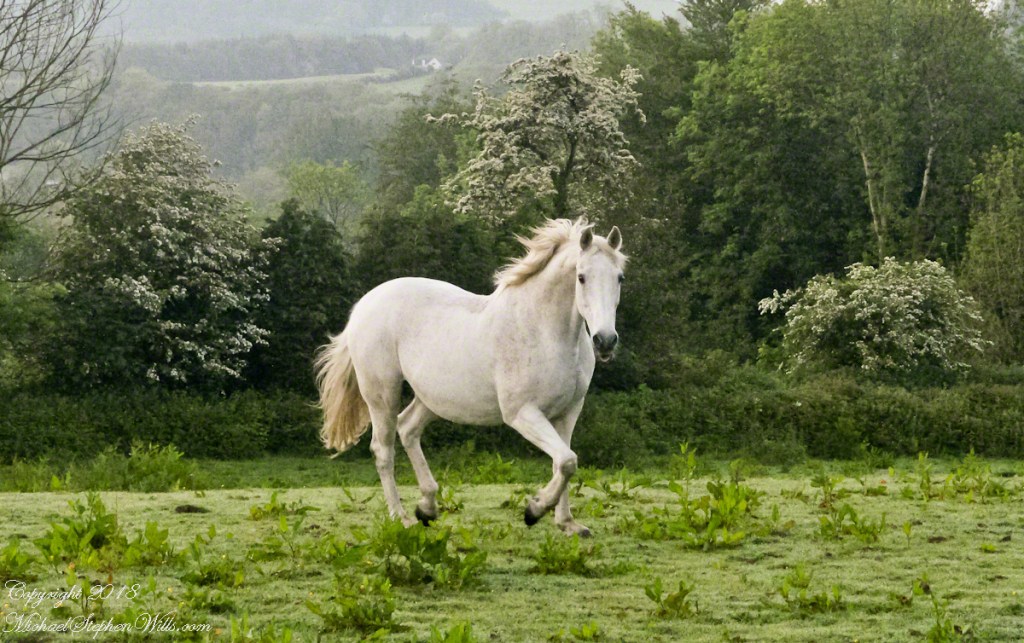
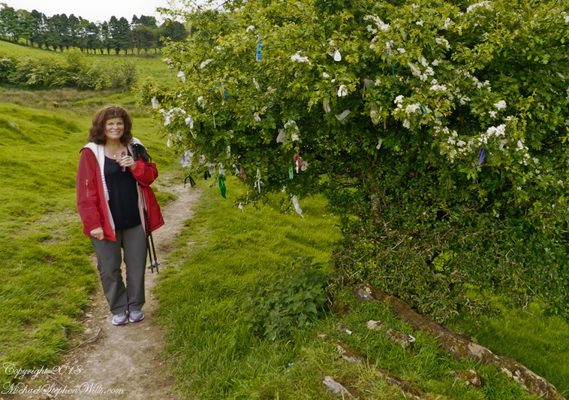
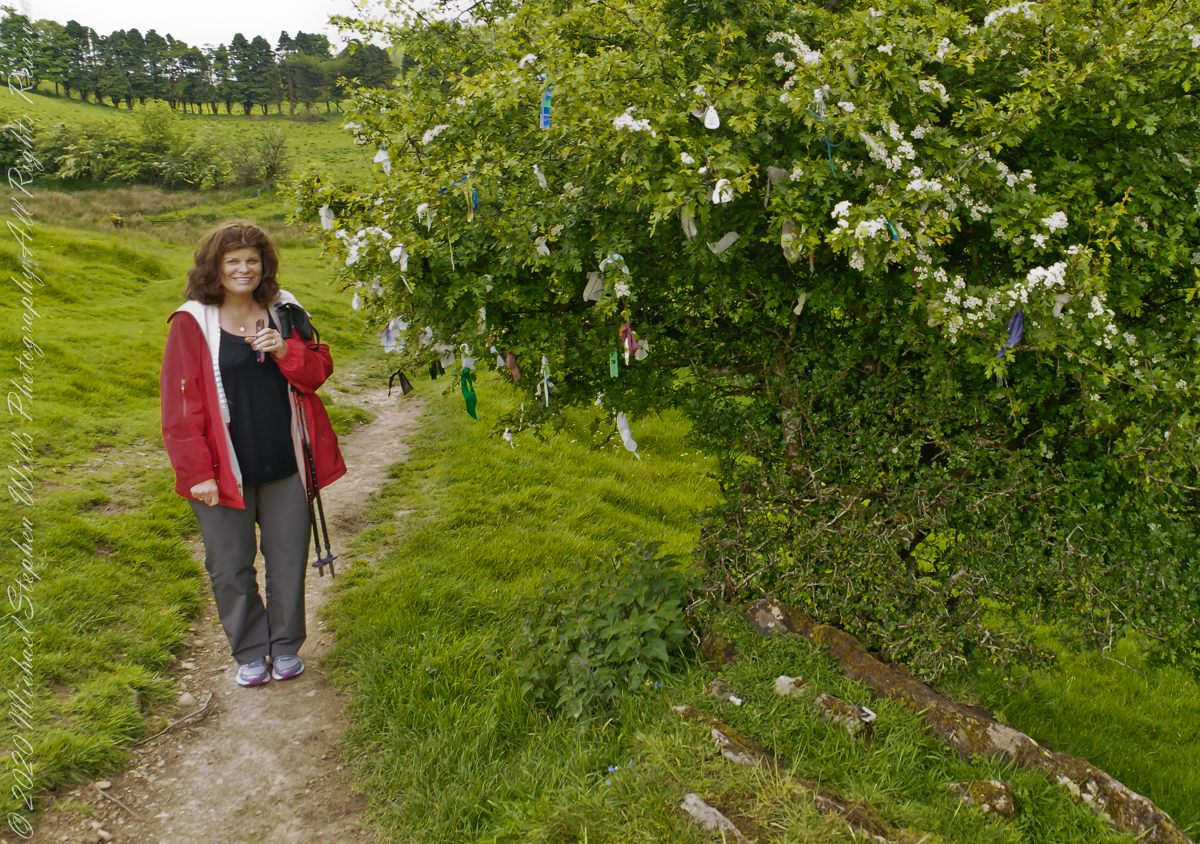
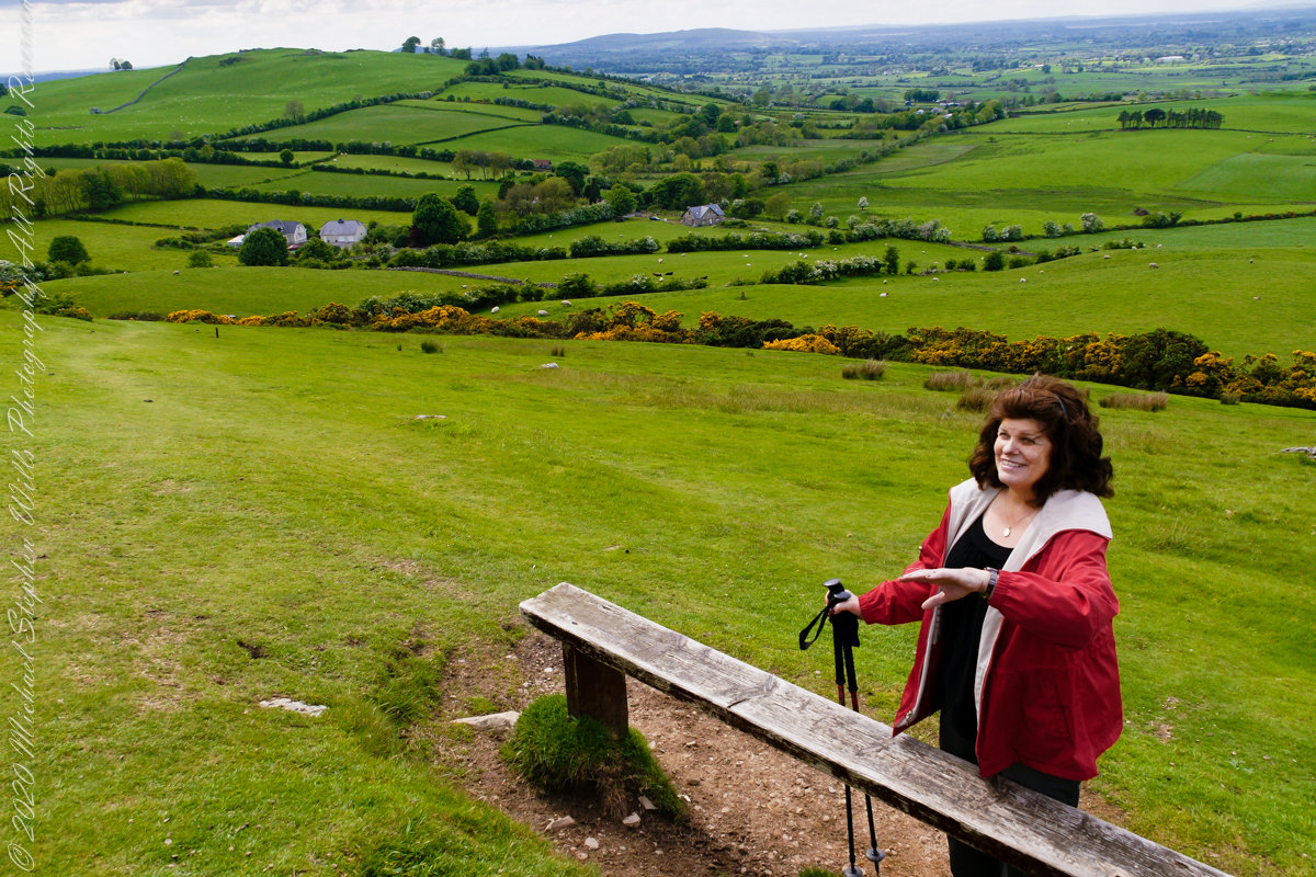
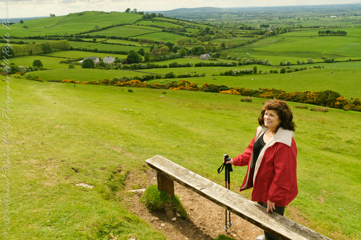
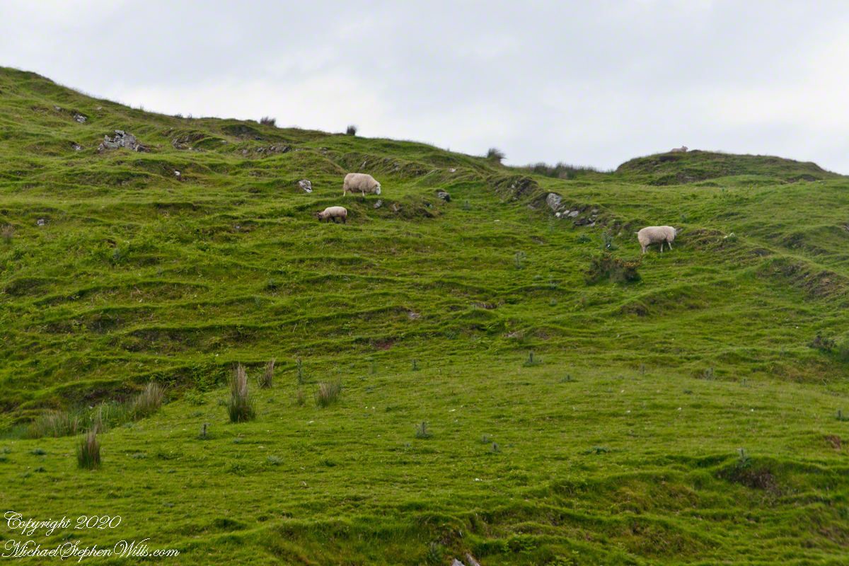
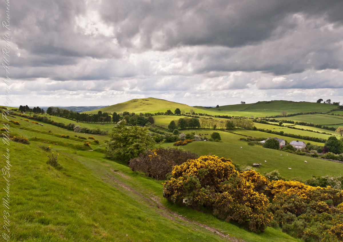
Here we are looking south, southwest from the north side of Slieve na Calliagh (aka Cairnbane East) toward Cairnbane West. Flowering yellow whin bush is in foreground, white flowering hawthorn trees in distance.
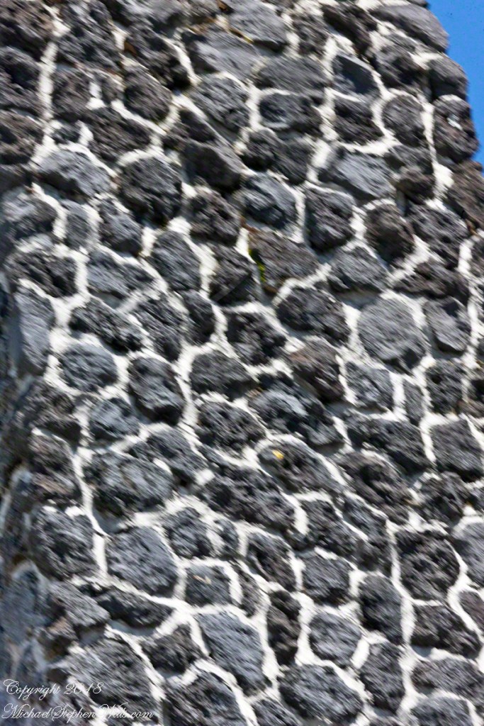
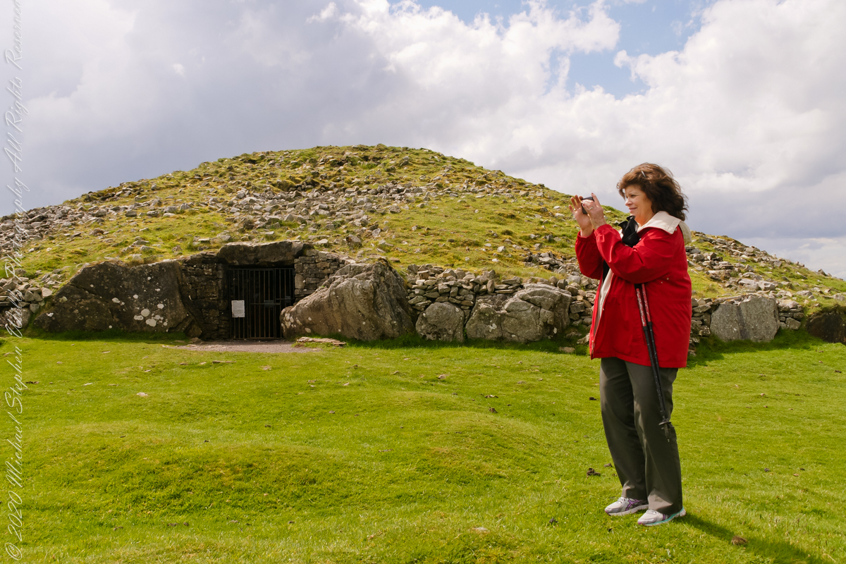
Cairnbane East hill is topped by a fine and accessible passage tomb, Cairn T.
Click me for an Ireland photography gallery.
Introduction
Cairnbane East of the Loughcrew Cairns, known colloquially as “Hag’s Mountain,” nestled amidst the rolling hills of County Meath, Ireland, is a site of profound antiquity that beckons the curious traveler with its enigmatic charm. In this beguiling corner of the world, where history and folklore converge like two ethereal streams, the Loughcrew hills with their cairns rise, sentinels of a bygone age, each with its own tale to tell. But it is the myth of the witch, the “Hag of Loughcrew,” that lend a haunting aura to these ancient megalithic structures, invoking a world where magic and reality danced together in a mesmerizing waltz.
The Loughcrew Cairns
The Loughcrew Cairns, those hallowed remnants of an era long past, are monuments that defy the erosion of time. Constructed during the Neolithic period, they bear witness to the ingenuity of ancient minds and the profound spiritual significance these structures held. These tombs, hewn from the earth and stone, were not mere resting places for the departed, but sacred vessels of cosmic alignment, paying homage to the celestial dance of the heavens.
The Witch’s Role
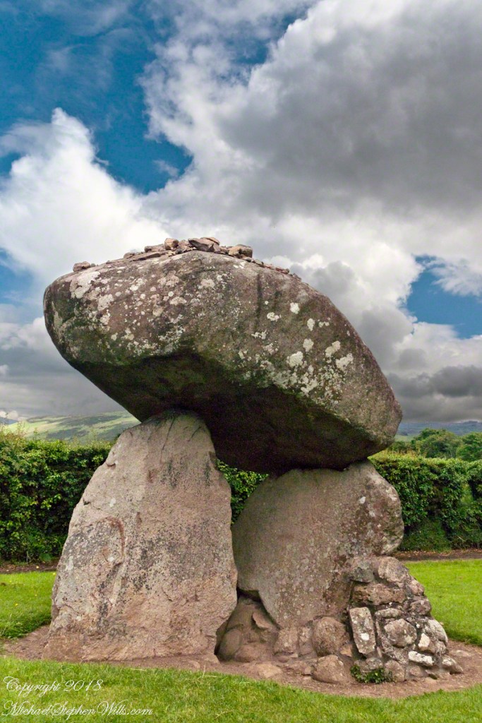
One of the most enduring legends surrounding Hag’s Mountain is the story of a powerful witch who was said to have constructed the cairns. Cairn T includes a kerbstone known as “the hag’s chair.” According to folklore, this enigmatic figure, known as the “Hag of Loughcrew” or the “Cailleach,” commanded supernatural abilities and controlled the forces of nature. The Cailleach, which translates as ‘old woman’, ‘hag’, and ‘veiled one’, exists in both Irish and Scottish Gaelic, and is an expression of the hag or crone archetype found throughout world cultures. Related words include the Gaelic caileag and the Irish cailín (‘young woman, girl, colleen’), the diminutive of caile ‘woman’, and the Lowland Scots carline/carlin (‘old woman, witch’). The Cailleach is associated with winter, and it is believed that she uses her staff to create the winter snows. In some folk tales it is said that she carried massive stones from distant quarries to build the cairns, working tirelessly through the night and completing tasks that would have been impossible for ordinary mortals.
In these legends the Cailleach’s role in the construction of the cairns is believed to explain their precision and alignment with celestial events. The Cailleach used her magical powers to ensure that the cairns’ passageways perfectly aligned with the sun’s rays during the equinoxes, illuminating the inner chambers in a spectacular display of light and shadow.
Conclusion
Slieve na Calliagh weaves a tapestry where history’s threads intertwine with the shimmering strands of folklore. In its stony silence, it echoes the time when myths and reality were inseparable, when the land bore witness to the otherworldly. As we wander amidst the Loughcrew Cairns, gazing upon the ancient stones, we become travelers in a world where the mystical and the corporeal coalesce, and the stories of the witch endure as whispers in the wind, carried through the ages.