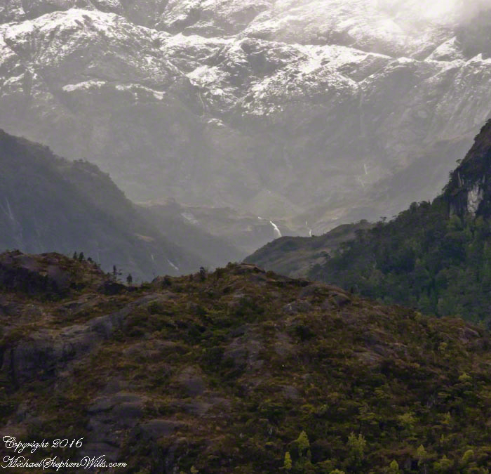
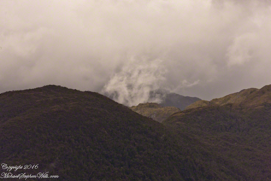
This is a view of the fjord countryside from the Oceania Regatta position about 4.75 miles from Iceberg Glacier . As the Regatta proceeded at the slow rate of 4.6 knots, I captured this high valley and waterfall from the position marked with the central pushpin in the following GoogleEarth image from 14,000 feet altitude.
Click any pic to visit my OnLine Gallery.
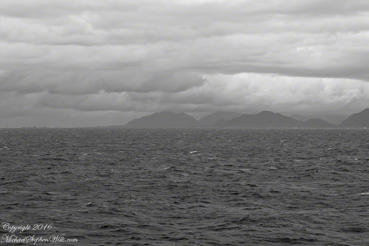
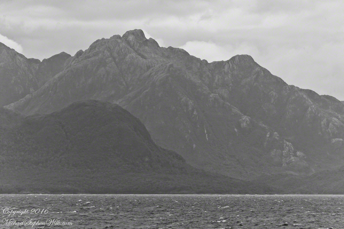
The following photograph is the view North. The far waterfalls are fed by two mountain top lakes, waters that feed into Tempanos Fjord. We are in the Chilean Aisen (also spelled Aysen) Region (XI) looking into a valley between Tempanos, Farquhar and Bernardo fjords. This island and valley has NO name, as far as I can tell. The region is uninhabited, part of the Bernardo O’Higgins National Park.
This was taken with a handheld Sony DSLR-A700, the variable lens at 200mm, 1/800 sec at f/13.
Copyright 2022 Michael Stephen Wills All Rights Reserved
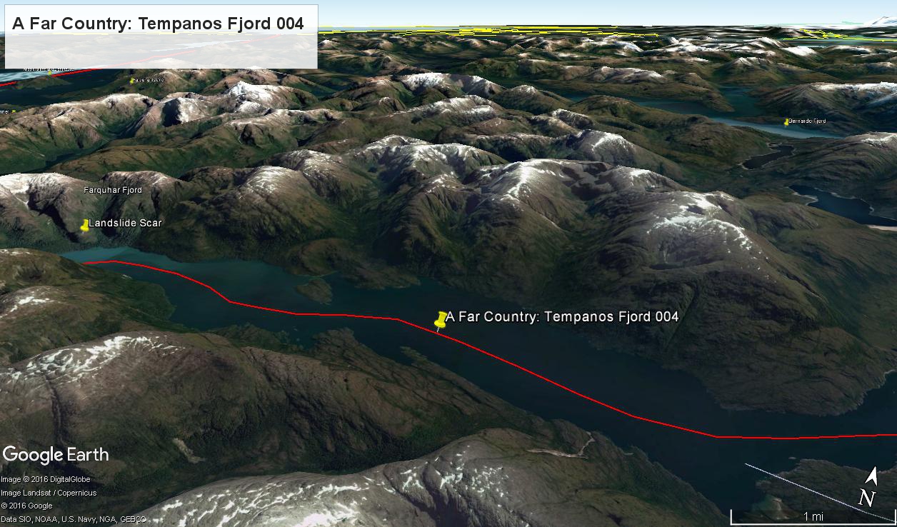
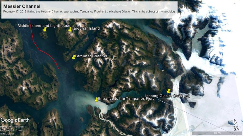
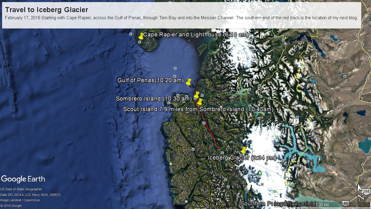
Here are a series of maps to aid your understanding of this series of blogs, starting with sunrise off Cape Rapier and ending with my next blog, the approach to Tempanos Fjord and the Iceberg Glacier.
Copyright 2022 Michael Stephen Wills All Rights Reserved
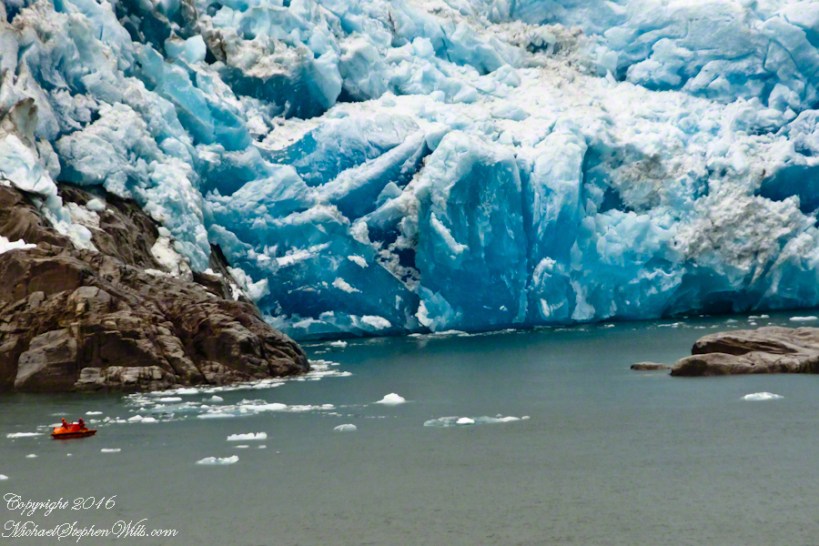
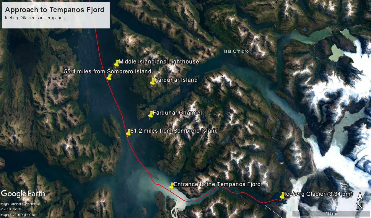
These photographs are most notable for the first sighting of the entrance to Fjord Tempanos and our day’s destination the Iceberg Glacier. At Middle Island Messier Channel is over 5 miles wide though studded with islets and navigational hazards. Here is a Google Earth map of the area with notable locations pinned with names. The red line is a ruler path from Sombrero Island.
In the previous blog, Orientation, Iceberg Glacier, February 17, 2016, you learned about the route the Oceania Regatta followed that day. We left off with photographs of Scout and Orlebar islands, the time was 12:43 pm Chilean Summer Time (daylight savings). The next photograph was time stamped 2:24 pm and, frankly, I had lost track of where we were, so it was necessary to determine the ship’s position.
Here is how to do it. From two known points, Sombrero Island at the northern end of Messier Channel and the Iceberg Glacier, our day’s destination, first a velocity from the total distance, in miles, (Google Earth) divided by the time duration (subtract time stamp of the starting from the final digital photograph and convert to minutes). This gives an average ship velocity in miles Using excel list the photographs with time stamps. For each photograph calculate the time from the starting photo, in minutes, and multiply this by the average velocity.
In this way, I determined the first photographs of this blog were Middle Island and obtained confirmation using Google Earth to view the location from ground level. The process is iterative in that the views showed the first calculated position to be behind the position matching the view.
This, I hypothesized, was because the ship velocity decreased on entering Tempanos Fjord. Noting a time gap between the last photograph of this blog and the next, taken within Tempanos Fjord. So, using Google Earth to establish the last photograph position, I recalculated velocity using that last position as the last time. Then, I recalculated the distances of the photographs and the calculated positions came into better agreement with the viewed positions. After Middle Island the ship slowed significantly in order to enter the fjord.
I still have opened questions because the calculated speed from Sombrero Island to Middle Island is 6 knots higher than the documented top speed of the Regatta.
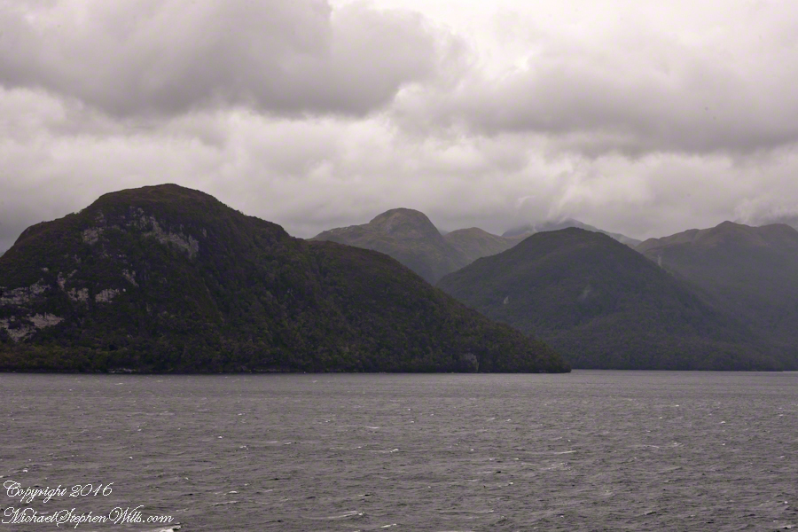
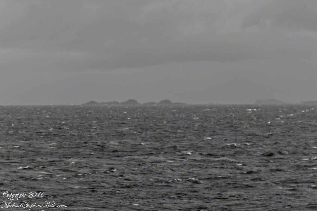
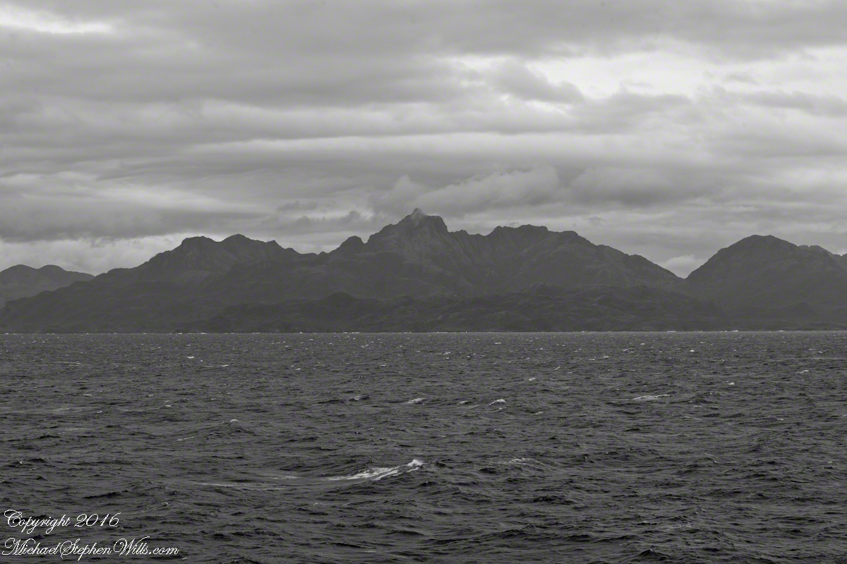
52.02 miles from Sombrero Island. View NorthEast toward Middle Island, Farquhar Island behind.
The lighthouse of Middle Island is not in view. The channel between the islands is Brazo del Este.
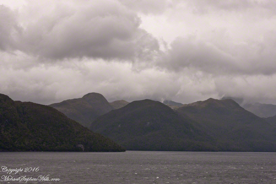
View NorthEast toward the peaks of Farquhar Island Over the shoulder of Middle Island is Riches Bay of the farther island.
View NorthEast toward the peaks of Farquhar Island. Across from us, on Farquhar Island, the George River flow into Connor Cove which opens onto the channel named Brazo del Este. The channel separates the islands.
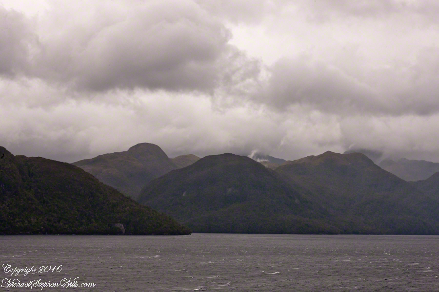
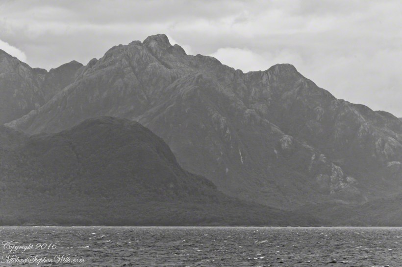
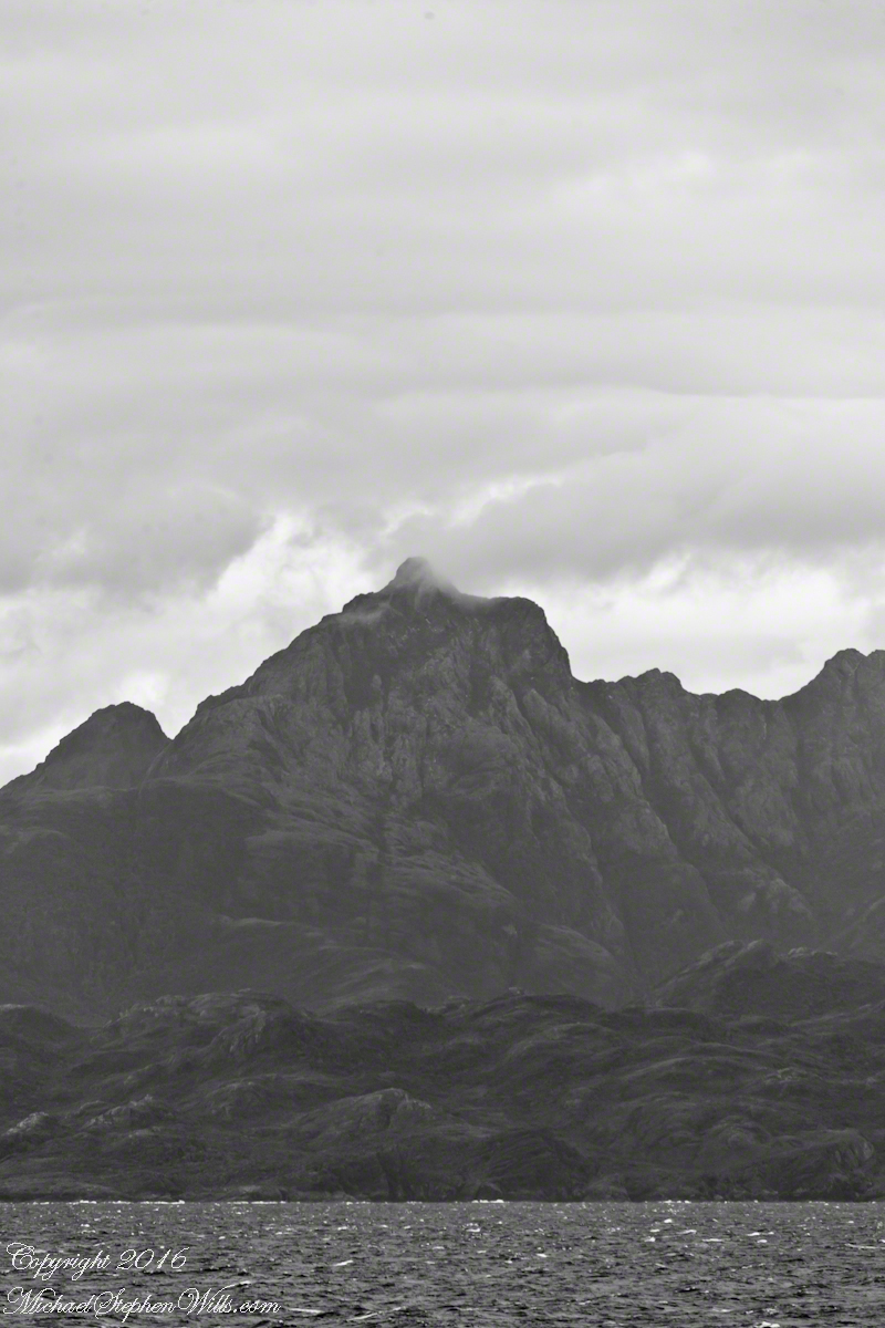
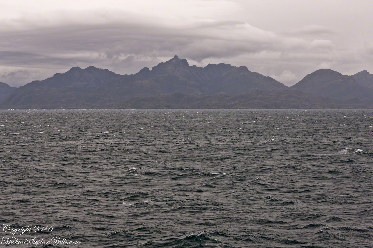
View east the steep cliffs of Farquhar Island rising abruptly from Messier Channel, to 3,200 feet in 2.7 miles.
Peaks of Farquhar Island. View east from Messier Channel using long lens. The island is named for Percival Farquhar, American entrepreneur active in South America, mostly Brazil and railroads, 1905 – 1930.
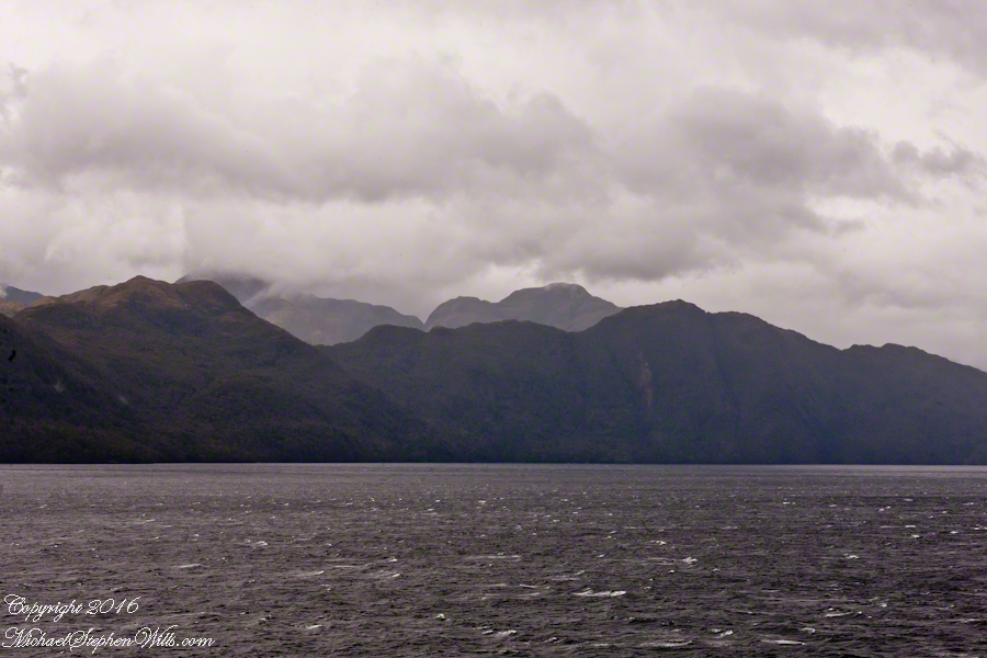
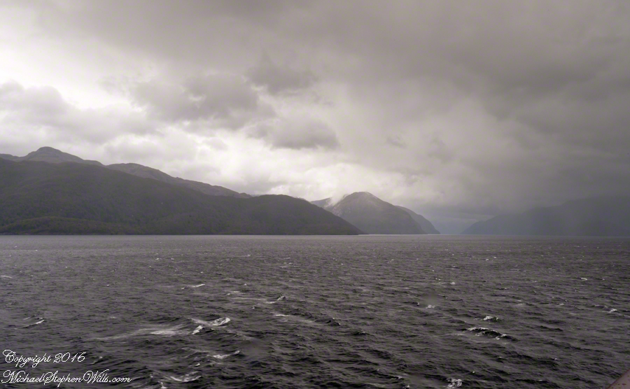
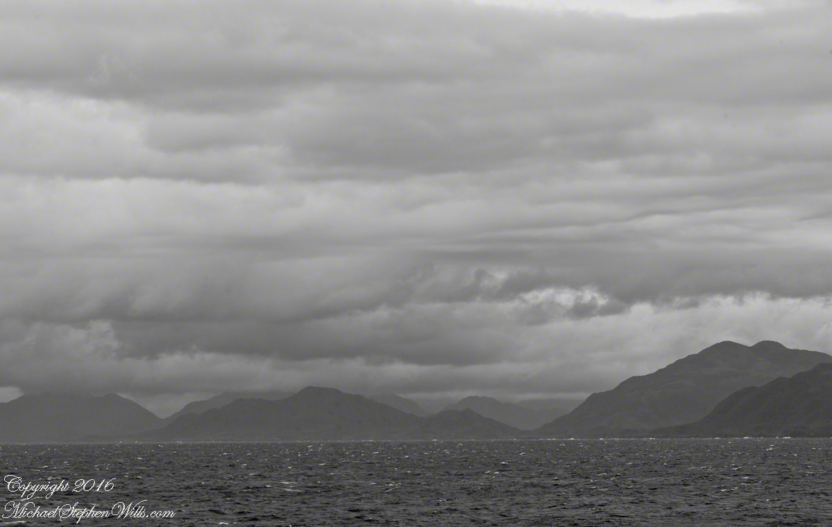
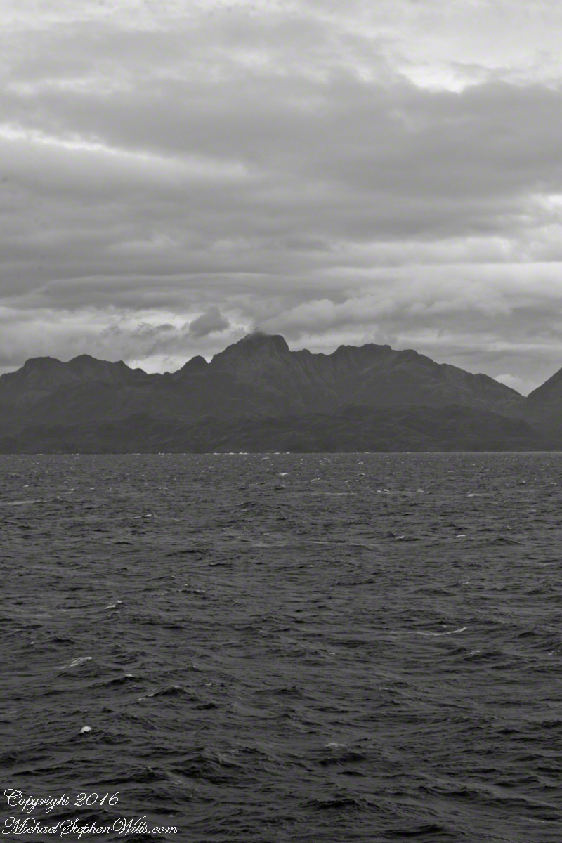
View north from mid-Messier Channel. Nearest on the right is Middle Island with lighthouse Farquhar Island behind with Palmer and Hens points. In the distance is Van Der Meulen island.
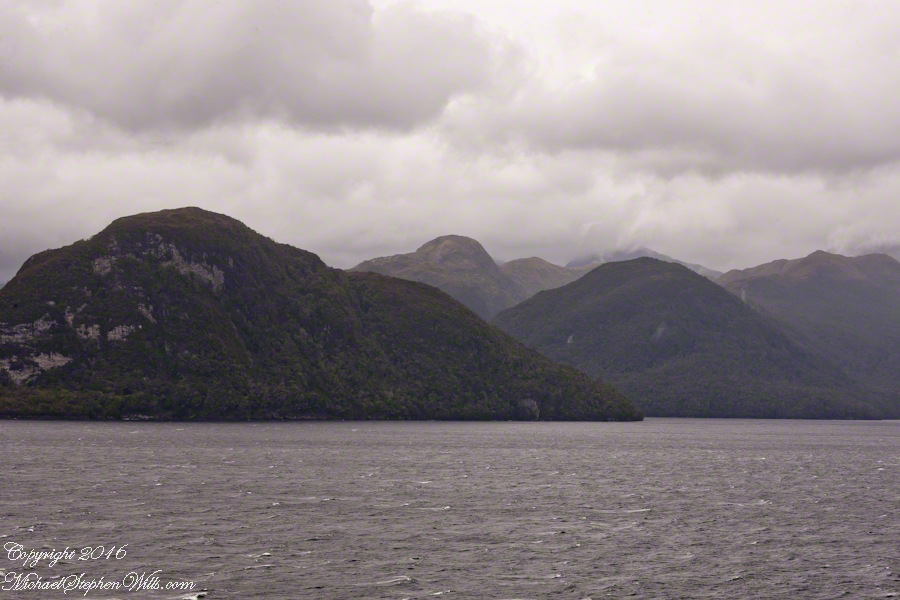
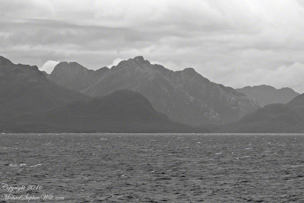
Farquhar Channel. View Northeast with Boxer Island, left foreground,Farquhar Island behind.
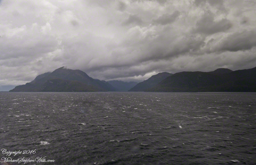
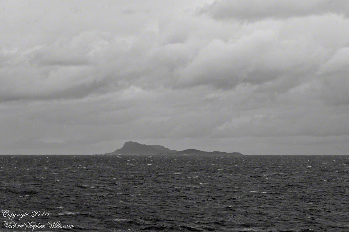
Tempanos Fjord. View Southeast with Estacion Point and Headland to left. Behind the headland is the entrance to Farquhar Fjord, not visible. Tempanos Fjord is framed by land on both sides.
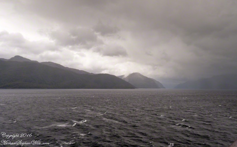
In English the Gulf of Penas means “Gulf of Distress.” Open to the storms of the western pacific ocean, ships seeking refuge sail this body of water to reach the shelter of the bays around the entrance of the Messier Channel.
Stargazing Chileans named the channel after Charles Messier (1730 – 1870), author of a catalog of 110 visually diffuse celestial objects such as the Great Cluster of Hercules, the Crab Nebula of Taurus, the Ring Nebula of Lyra. As Messier catalog objects these are listed on star charts as M13,M1,M57.
The Larenas and Fresia peninsulas of Aisen Province, Chile, on the southeastern shores of the gulf are seen here as we approach the Messier Channel. The shore is dotted with islets and islands. The Chilean pilot who came aboard at Puerto Chacobuco is earning his salary, keeping us safe. To reach the channel we pass through Tarn Bay, generally north to south. The southern margin of the bay is marked by Sombrero Island, the subject of my next blog.
Larenas Peninsula and Merino IsletsClose-up of the Merino IsletsAyautau IslesThe Northern Patagonian Ice Fields lay to the east and north of these mountains of the Larenas Peninsula.High Ridge of the Larenas PeninsulaLarenas Peninsula High Ridge 2Larenas Peninsula High Ridge Close 3The craggy heights of the Larenas Peninsula are in the rear. On the right are Fresia Point (of the eponymous peninsula) and the entrance to Fjord Eloisa.Larenas Peninsula High Ridge Closer 5
Copyright 2022 Michael Stephen Wills All Rights Reserved
The Gulf of Penas is exposed to the storms of the western pacific. We are here moving from Aisen Region to the Magellan Region of Chile. Also known as Patagonia. This view is the Larenas Peninsula. The Northern Patagonian Ice Fields are on the other side of those mountains, the Southern Andes.
Taken with a Canon EOS 1Ds Mark3, the EF 70-300 f 4-5.6L IS USM lens, tripod mounted on a Manfrotto carbon fiber travel tripod. UV filter 1/160 second at f 6.3 ISO 250.
There is a steady wind of about 12 mph driving a few white caps. A line of surf is seen breaking against the cliffs. Shot midmorning from our stateroom terrace as the Regatta cruises south, February 17, 2016. We are headed to an encounter with the Iceberg Glacier of the Southern Ice Fields of Patagonia.
Photography conditions were poor: shooting into the sun from an unstable platform gives poor contrast for the mountain crags. The stabilization of the Canon lens was helpful and I balanced the need for a short exposure with the lowest ISO possible. No time to experiment.
Copyright 2022 Michael Stephen Wills All Rights Reserved
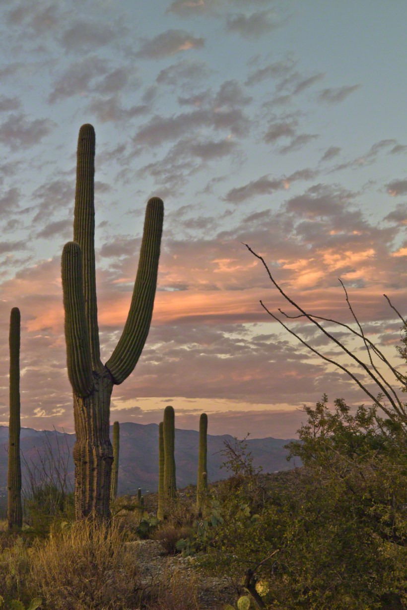
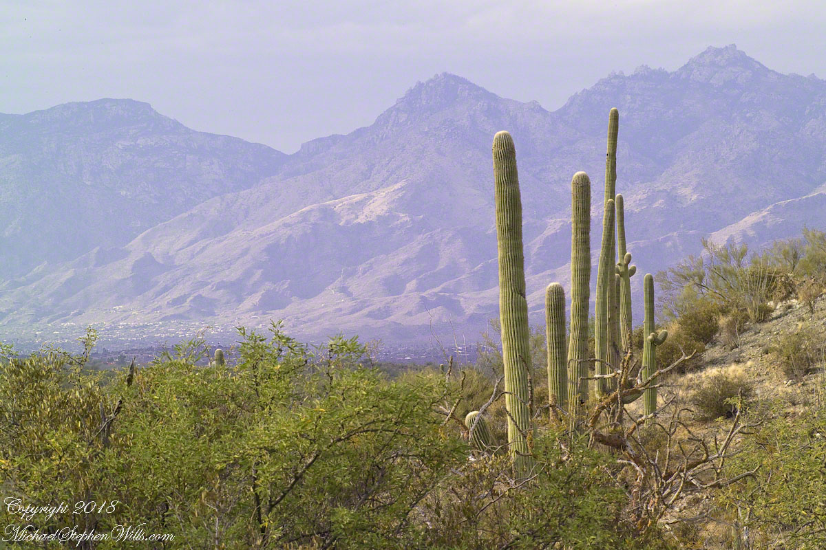
November is a special time for the ranges and basins of southern Arizona deserts. Climb a bajada of foothills, face west and wait for the sunset. That is what I did this day, November 3, 2005. East of Tucson the Saguaro National Monument at the foot of the Rincon Mountain Wilderness is where I parked, unpacked the photo gear and climbed the side of the Tanque Verde Ridge for a favorable view. Weather was pushing high level moisture from the west, clouds were developing.
You see here a shot from that session. In the distance, looking across Tanque Verde, are the Santa Catalina mountains. Months since the last rainfall, the giant Saguaros are using internal moisture reserves drawn up from a shallow root system, the flesh is less plump, the supporting structure of the ribs, always evident, are more pronounced. The last light catches these ribs in relief against a dramatic sky.
On the ground in Sabino Canyon, I rethought my plans for the afternoon, given the potential of an incredible desert sunset, and decided to seek the high ground east of Tucson up against the Rincon Mountains in the Saguaro National Monument. There was still plenty of time to travel there and set up.
On arrival at the monument I took the scenic “loop” road that meandered around the desert. The Lime Kiln Falls trail makes some elevation, so I hiked that to the end. In the 1800’s the rocks in the area were exploited for their mineral content by heating them, on site, to high temperatures that released a highly caustic (chemically reactive) “quick lime” that was in high demand. All that’s left of this work is some ground discoloration.
The Dry Water Fall and former Mining Site
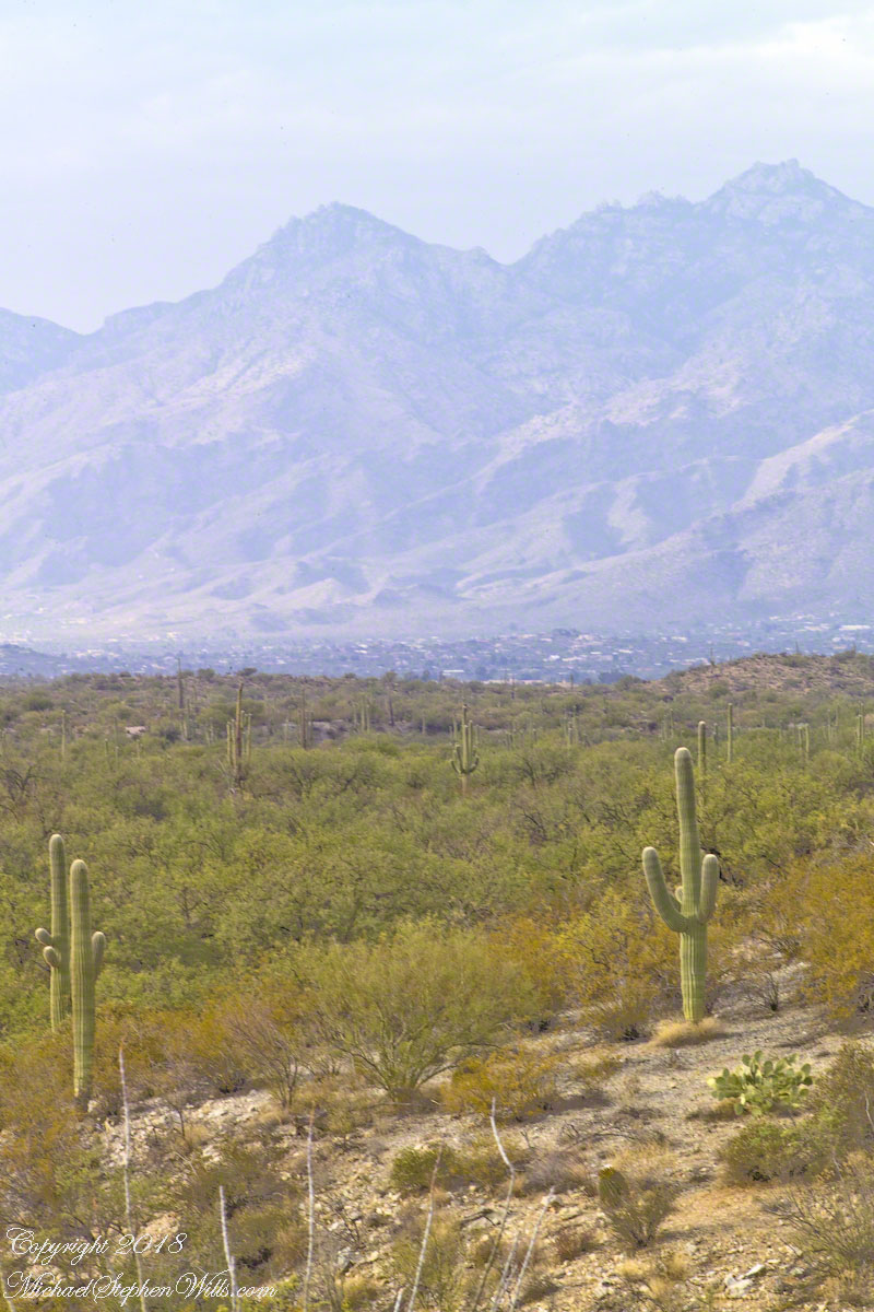
The “Falls” in question were a totally dry rock ledge that I climbed for these views. In the first photo, on the right in the distance, you can see the same mountain peaks I shared in Part One. I used the same 200 mm telephoto lens because that interesting stand of saguaros were over 100 feet away across a steep slope.
Young Saguaros
The saguaros are interesting, to me, because they are all so young and grouped together. As though s clutch of seeds from the same specimen landed together on the same spot. The saguaros are notable for their lack of arms which will form with the passing years.
A View of the Catalinas
Late afternoon is the perfect time to photograph the Catalinas in the distance and the high, thin gathering cloud cover made for dramatic shading of the peaks. I needed to wait for a perfect moment because the light and view changed, literally, second by second. If you look closely, the city of Tucson can be seen among the foothills, to the left.
Why the Distance Stands Out (high contrast)
The lens was fitted with a deep hood. Besides being black, the interior of the hood is surfaced with black felt, the same as used for large telescopes, to capture any stray light. Light falling across the lens surface causes reflections, which is what this hood prevents. The result is the amount of contrast I captured, using the appropriate exposure and other settings. For this photograph I used F14, 1/125 and ISO160.
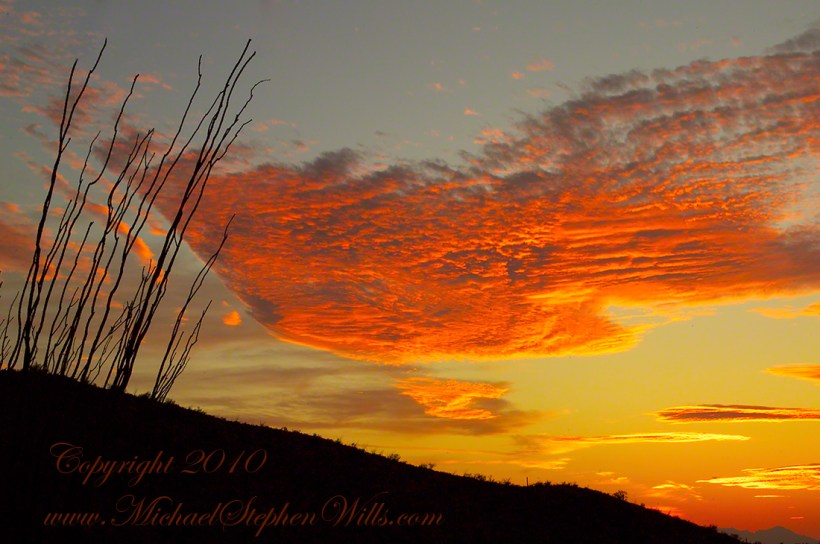
Click any photograph to view Ocotillo Sunset
Another Catalina View
A bit further down the same trail, the desert view features an army of saguaros marching into Tucson.
Click any photograph to view Ocotillo Sunset
The Catalina Highway runs along the escarpment, in the distance, and to the top of Mount Lemmon, a 9157 foot peak. In season, you can ski in the morning, on the peak, and in an hour or so travel to the desert to sunbathe comfortably. From the trail to the top of the Rincon Mountains this view just keeps opening up farther and farther and farther. My wife, Pam, and I backpacked up there April 2011.
To close our time on the Tain Way I offer a poem written and presented to the congregation of the First Unitarian church of Ithaca New York 25 years ago, 1992. Interspersed are final photographs from our walk on the Tain Way of 2014.
The poem content is not directly biographical / confessional although it draws upon my experience as a single parent in the 1980’s through 1990’s.
A Poem Read To The Congregation
I
a crisis threatened an Irish village men women children filled the meeting place everyone participated especially the infants
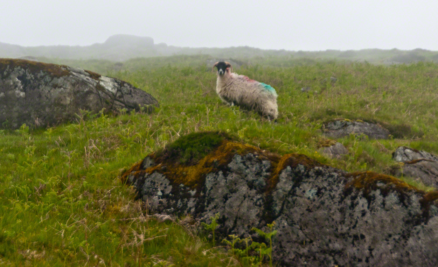
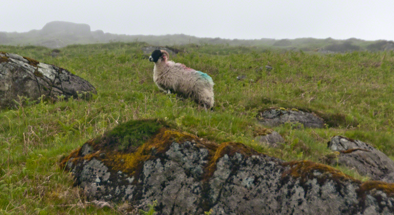
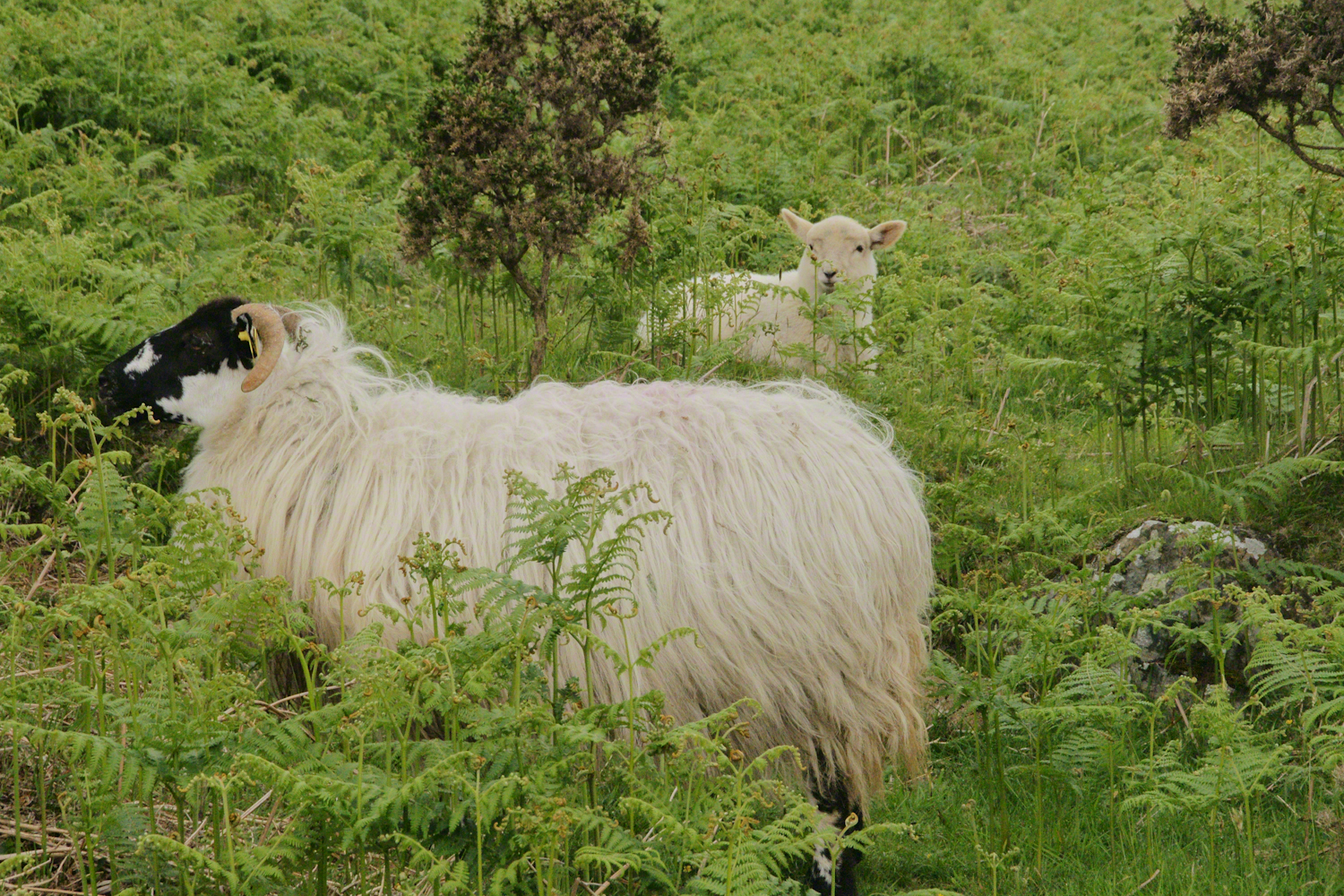
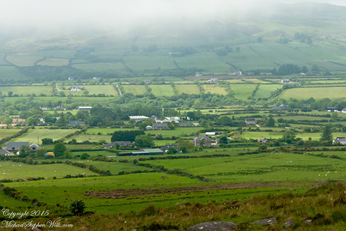
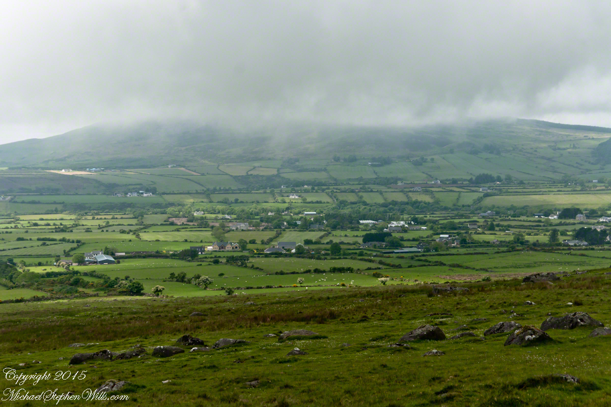
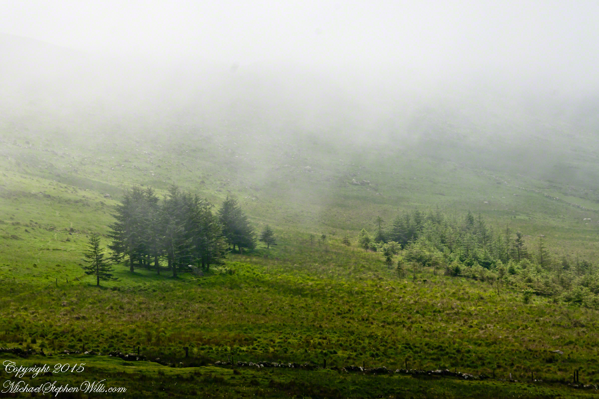
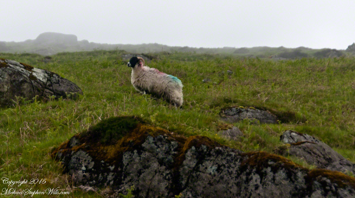
The Tail Way descends from Goliyn Pass to the northeast, passing among commons grazing. I attempted to identify the breed of this ram, but gave up. I can say sheep on the Cooley Peninsula are primarily bred for meat and there are black faced breeds known for meat production.
The flocks of County Louth commonly carry paint brands to identify ownership. Paint branding lessens wool value. This is less of an issue if the livestock are primarily raised for meat.
in spite of it all a plan was arrived at after the vote from the back of the room a man called out
….you know the type…
THIS WILL BE OUR PLAN UNTIL WE FIND OUT WHAT IT IS.
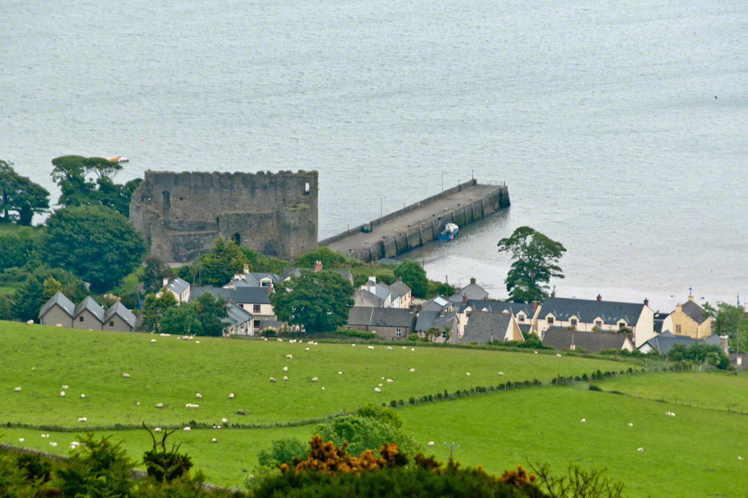
The ancient portion of Carlingford. I called the top of the castle “battlements” in the loose sense, as the ruin now longer has a walkway.
II
my son John and I have a photo of him at 5 years washing dishes standing on a chair up to his elbows in rubber gloves the caption reads “Two Men On Their Own.”
i had agreed to accept a divorce from helen only if john was left with me
one night in particular stands out from that time i did not sleep for planning what john and I would do
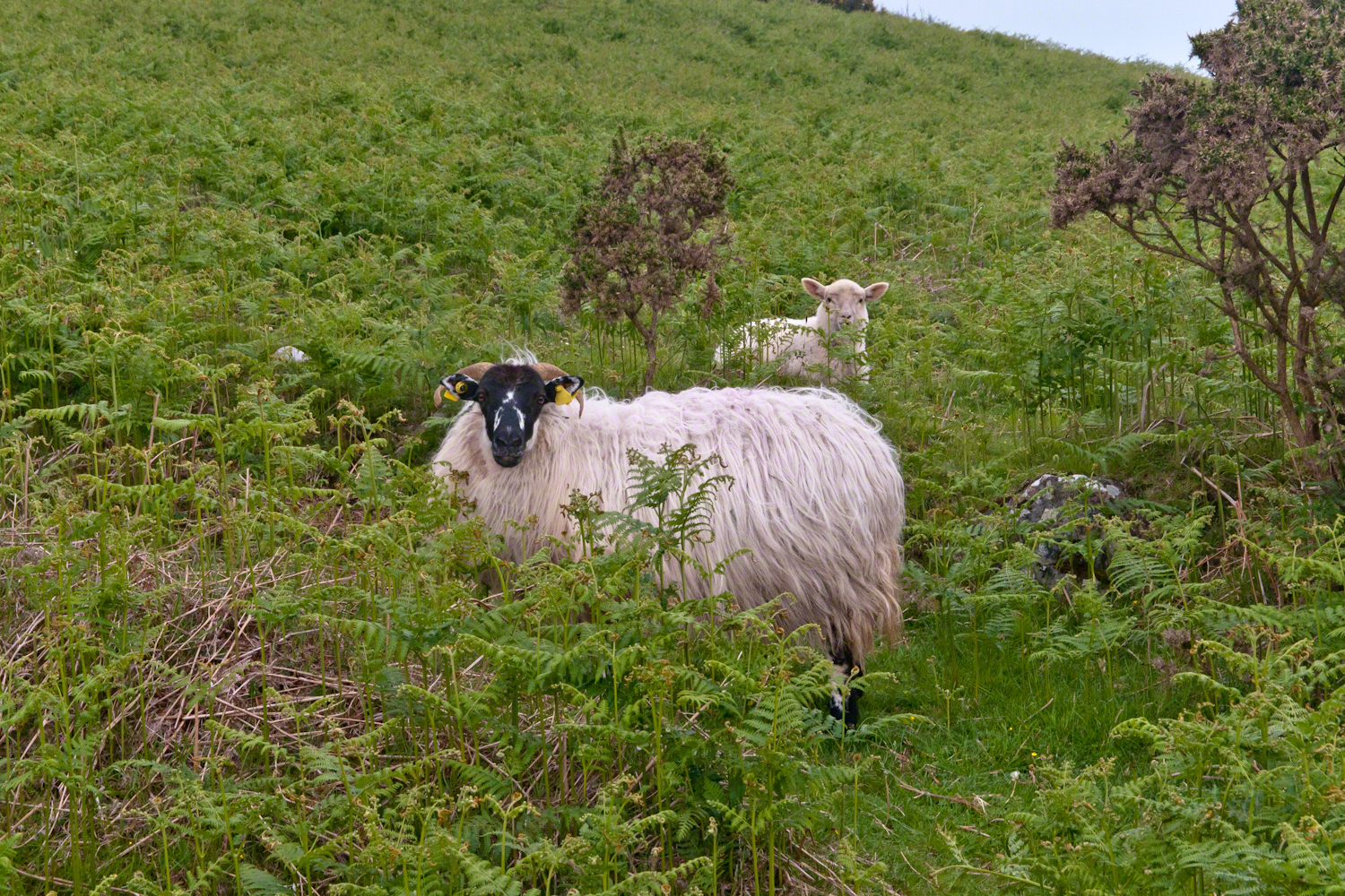
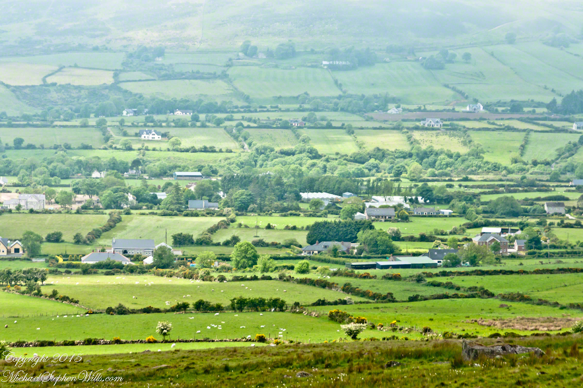
Unbranded, perfect white marks this lamb among an extensive fern bed. Tain Way steepens on approaching Carlingford. Below is the residential Carlingford, the Greenore road running to the right. The large structure with two rows of dark windows is the Four Seasons Hotel where a substantial brunch is served Sundays.
III
seven years passed not a long time since then we’ve moved found another a better life
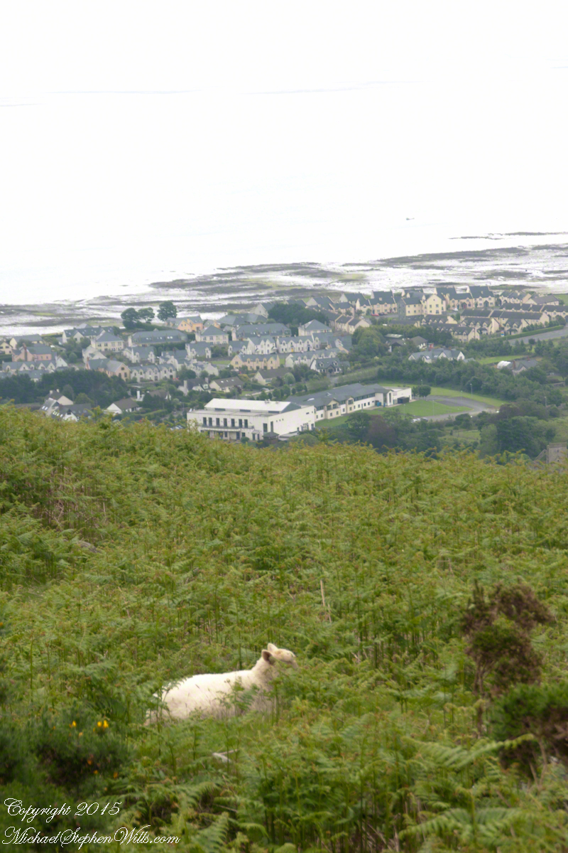
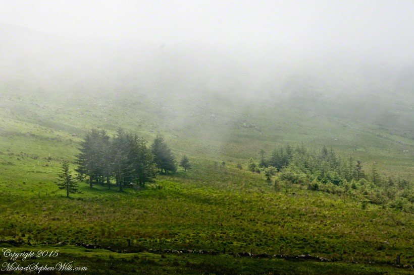
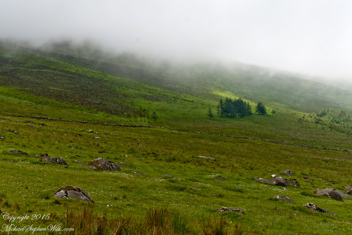
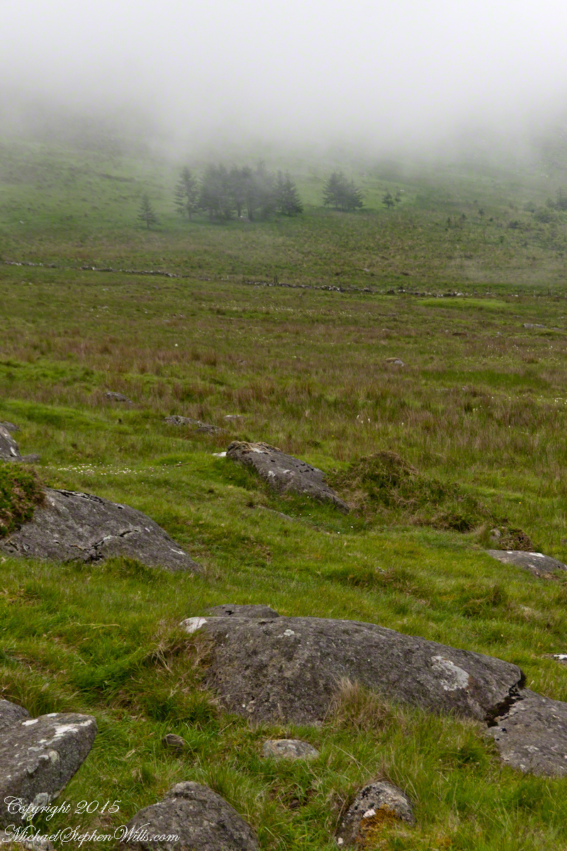
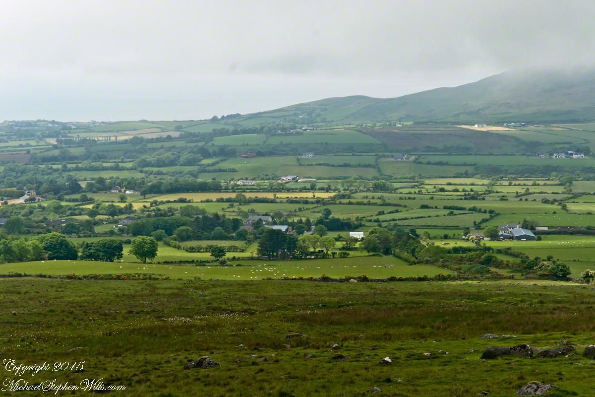
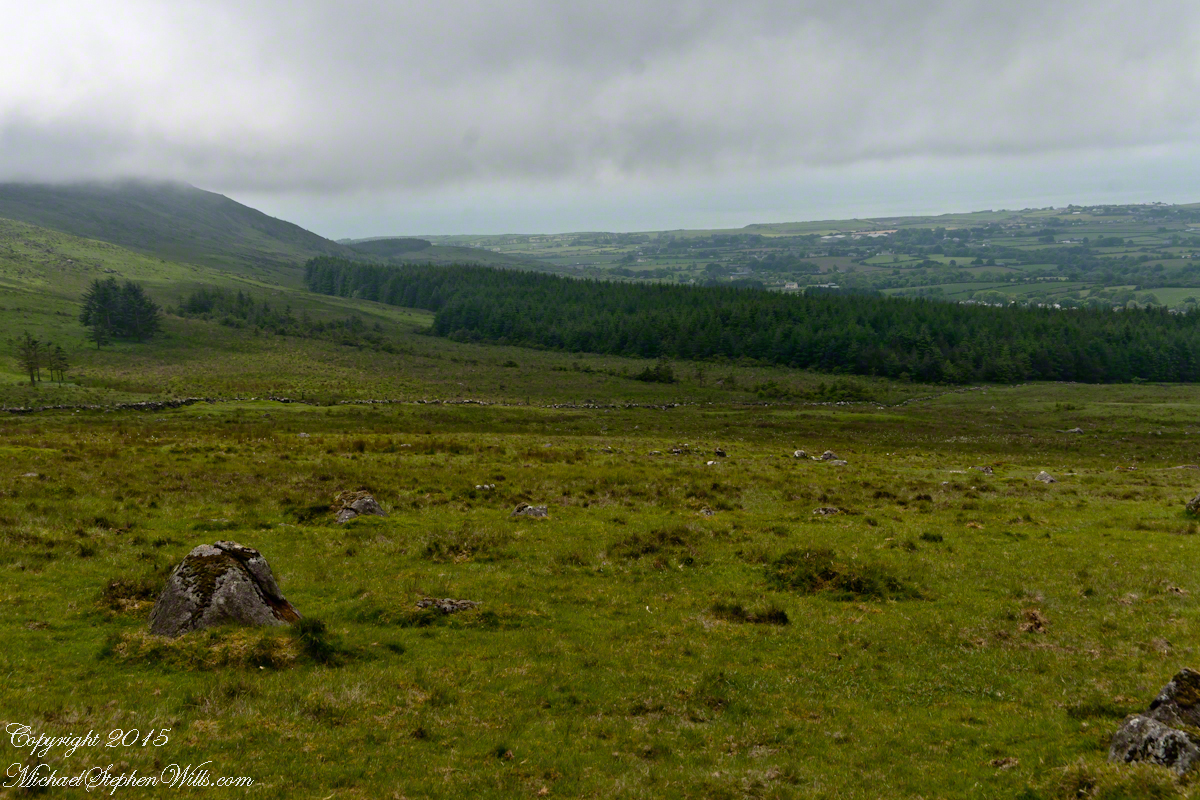
We descended below the ridge to pass into excellent pasturage. The growth of fern hides a lush grass pasture.
raising John alone was not part of the plan Its been just john and me helen gave birth to john to have a part of me in case of loss i felt the same way and she understood
a welcome feminine voice in our home “Little House on the Prairie” and “Little House in the Big Woods” twice.
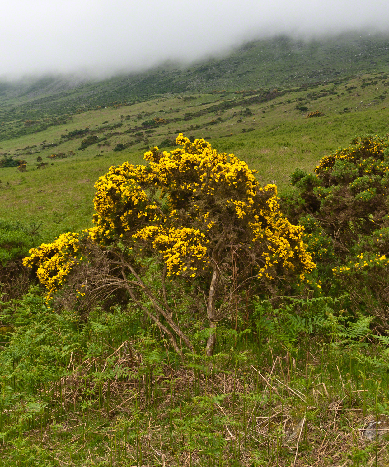
Plants and livestock on these slopes of Slieve Foy contend with adverse conditions in the form of a constant east wind. The stress is evident in the stressed trunk, although this species thrives in this environment, as seen in the strength of bloom and the yellow patches on the slopes, all of which are gorse. Gorse flowers are edible; the entire plant can be used as fodder when crushed to the consistency of moss. In Scotland there’s a museum with a roundish boulder called a Whin Stone.
V
Here is an excerpt from a newspaper article by Wilder called “HOME” that has an emotional resonance for me dated 1923 Wilder was in her 50’s.
Out in the meadow, I picked a wild sunflower, and as I looked into its golden heart, such a wave of homesickness came over me that I almost wept. I wanted Mother, with her gentle voice and quiet firmness; I longed to hear Father’s jolly songs and to see his twinkling blue eyes; I was lonesome for the sister with whom I used to play in the meadow picking daisies and wild sunflowers.
Across the years, the old home and its love called to me, and memories of sweet words of counsel came flooding back. I realize that’s all my life the teaching of these early days have influenced me, and the example set by Father and Mother has been something I have tried to follow, with failure here and there, with rebellion at times; but always coming back to it as the compass needle to the star.
So much depends upon the homemakers. I sometimes wonder if they are so busy now with other things that they are forgetting the importance of this special work. Especially did I wonder when reading recently that there was a great many child suicides in the United States during the last year. Not long ago we had never heard of such a thing in our own country, and I am sure there must be something wrong with the home of a child who commits suicide.
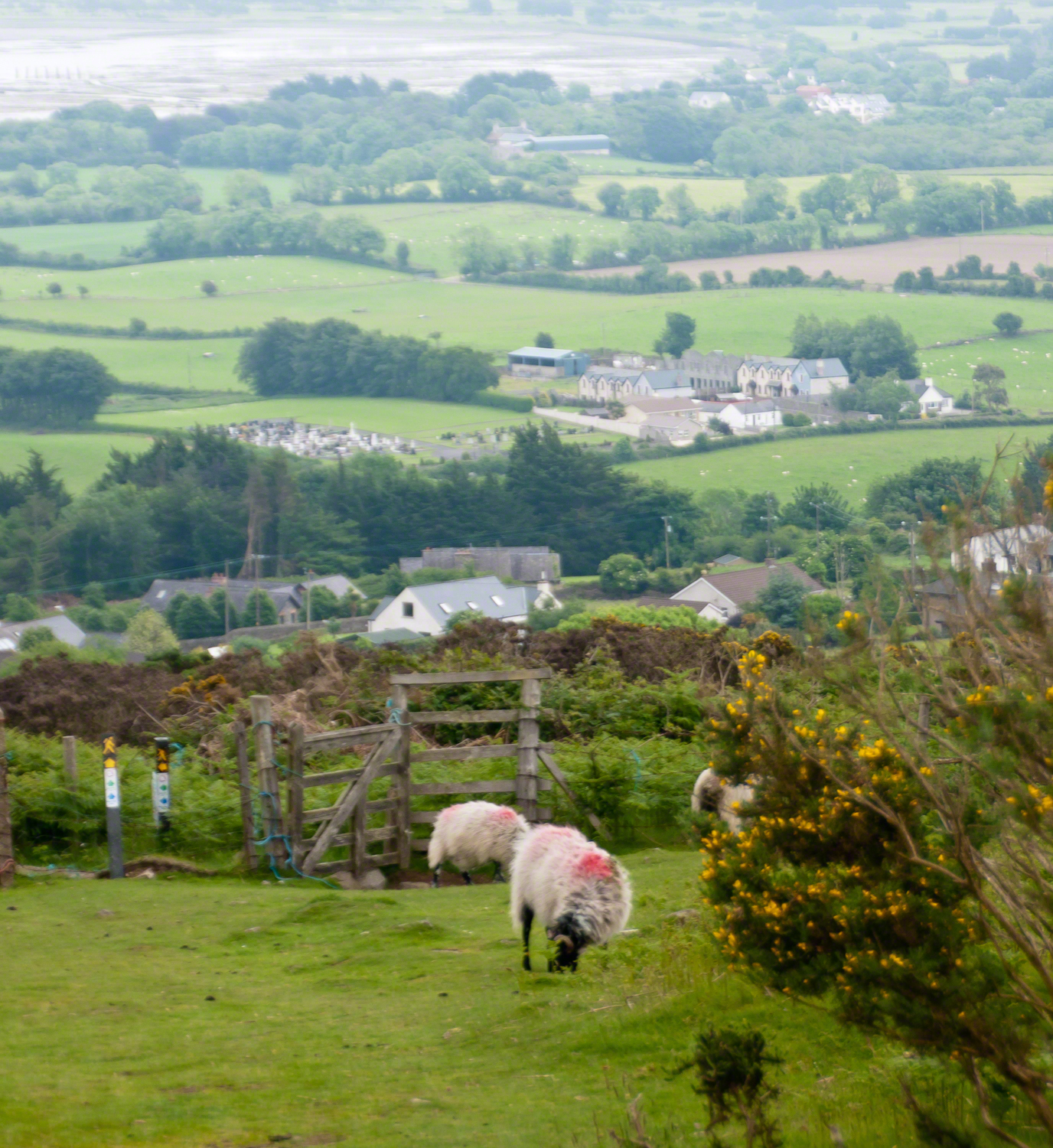
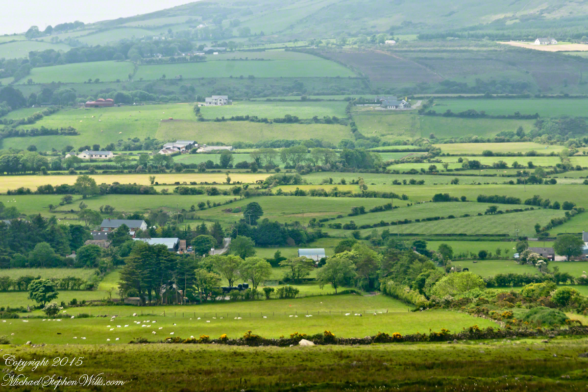
The trail detours around sheep pasture just before descending to the outskirts of Carlingford.
VI
we give so much to our children what’s left over though is ours
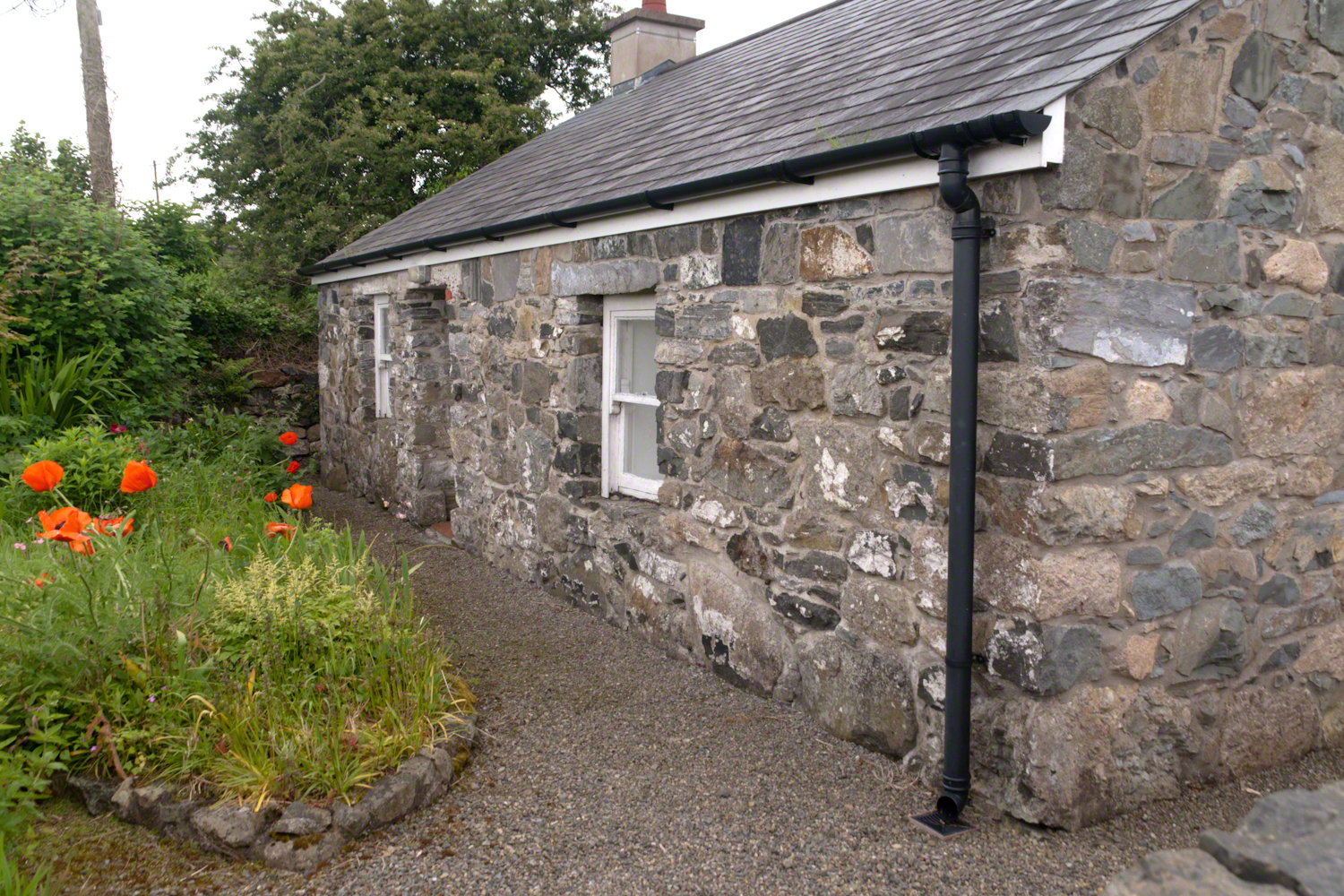
The first Carlingford home passed by the trail is a solid fieldstone home with a slate roof fronted by a natural garden featuring red poppies.
William Carlos Williams wrote it is difficult to get the news from poems yet men diet miserably every day for lack of what is found there
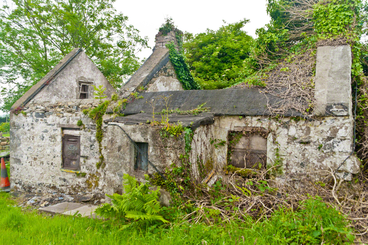
This ruin lies off the Tain Way as it descends through the outskirts of Carlingford town. Constructed of stones, mortar and what looks to be concrete. Long slate slabs protect the eves. It’s been abandoned for an age. What a story it must have, long slow and full of life.
it is not difficult to understand this to live it is another matter
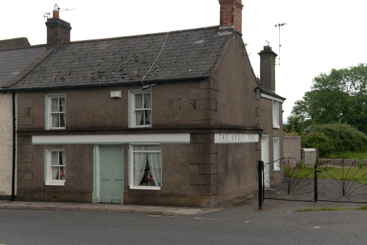
Named for the Carlingford Priory, a nearby ruin, the Abby Bar is located on Dundalk Street (R173), Liberties of Carlingford, Carlingford, Co. Louth, Ireland. Liberties of Carlingford might be called greater Carlingford in the USA.
you have to live it in order to have something left over
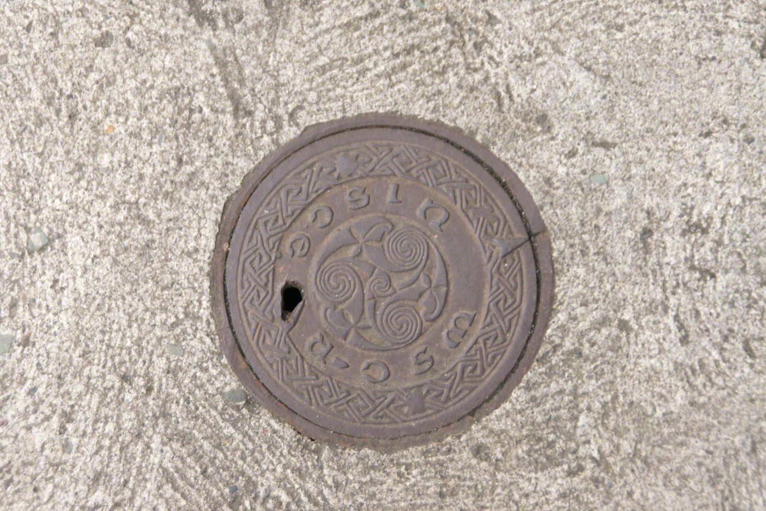
A metal cover, about 8 inches in diameter located in the sidewalk on the left side of The Abby Bar on Dundalk Street, Carlingford. The triple spiral triskelion symbol has become a Christian symbol of faith for Celtic Christians around the world, a visual representation of the Trinity (Father, Son, Holy Spirit) and eternity. In Ireland, the symbol acquired its Christian meaning prior to the 5th century. The triskelion predates Christina and even Celtic culture as petroglyphs of the astronomical calendar at the megalithic tomb Newgrange (3,200 BC). The symbol is associated with Neolithic cultures throughout Western Europe.
VII
never the less my emotional resonance in reading that piece “Home”
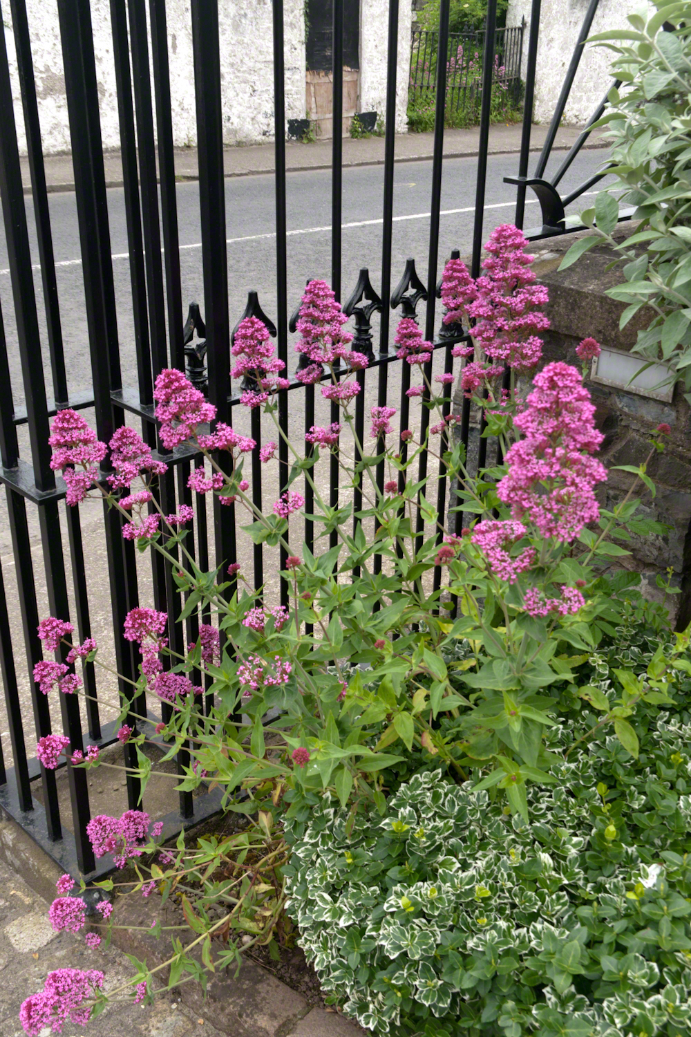
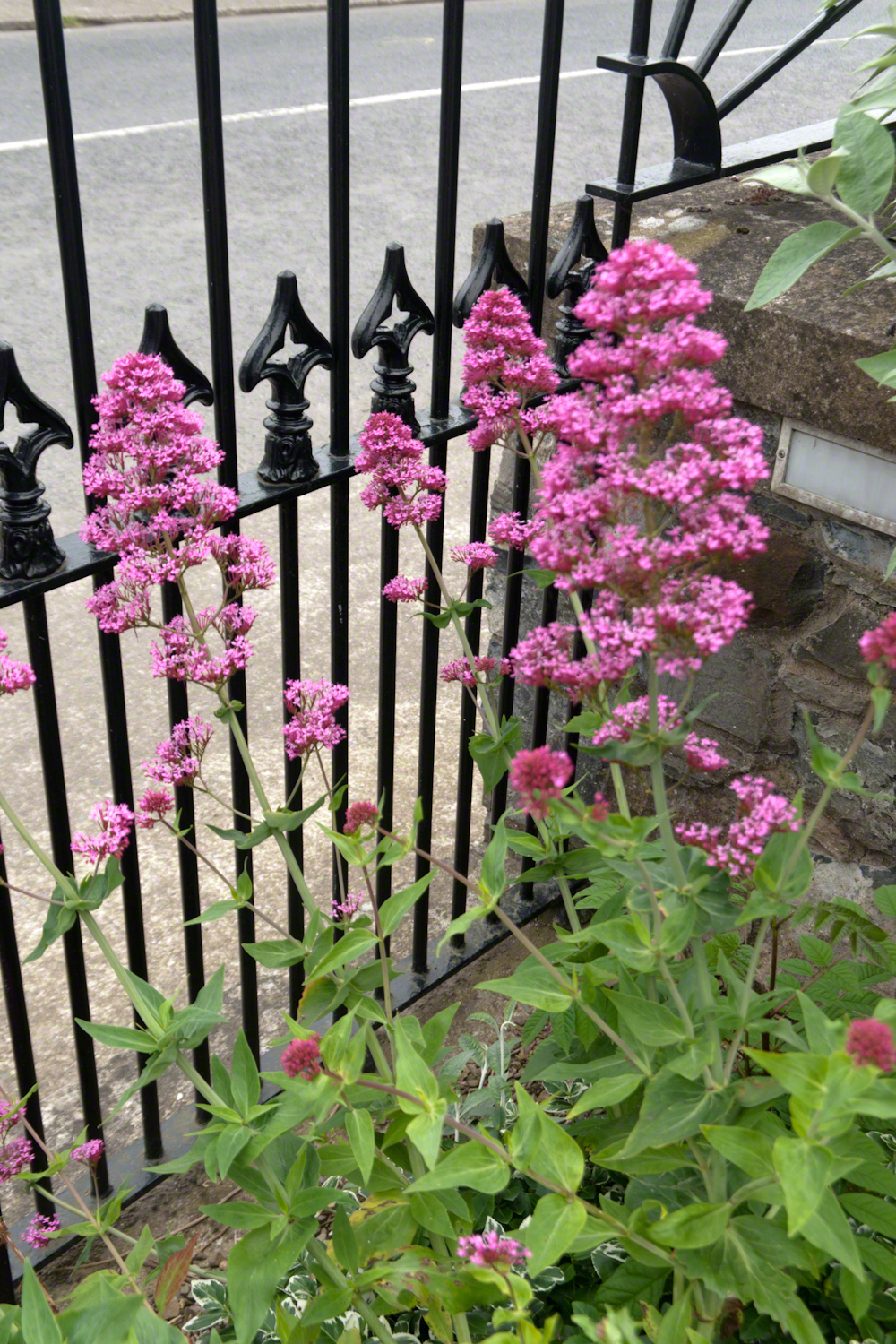
Caring touches to a well-tended home entrance along the Tain Way, Carlingford, County Louth, Ireland.
did not come from the sentiments Wilder so skillfully evoked though I shared them it was that sharp part
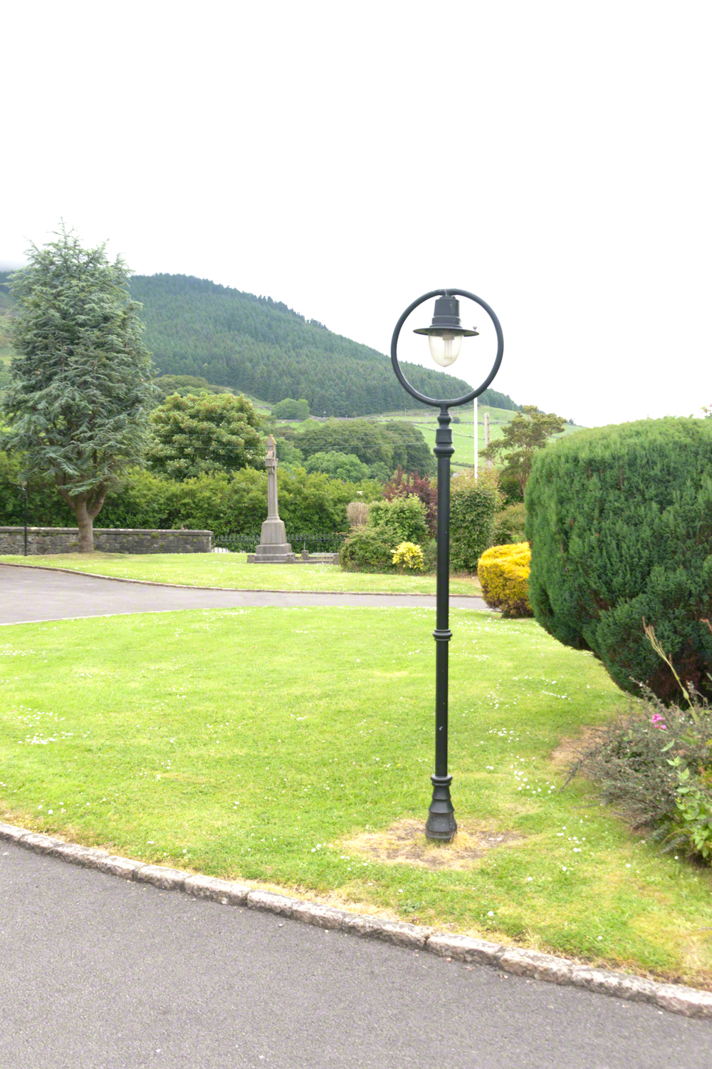
Lamp post on Church of Saint Michael grounds.
i did not agree with it lacking a reason and so must have re-read “Home” fifty times a hundred who knows
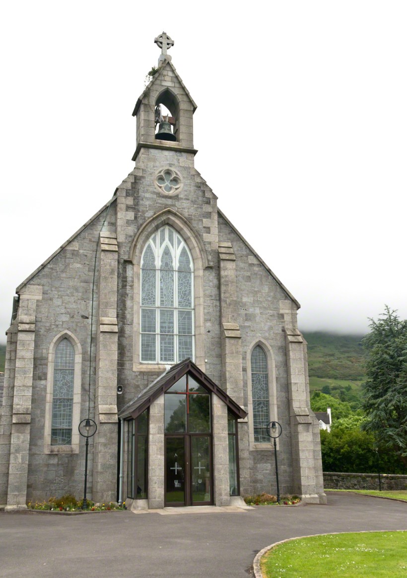
The Church of Saint Michael is a Roman Catholic Church on Dundalk Street (R173), Carlingford.
so committed to speak today and began to write something was bound to shake loose
then those lines form Deuteronomy gave themselves to me
Before you this day is set good and evil, life and death. Choose life, that both you and your descendants might live.
“Home” was a twist of these lines
as long ago as 1923 Wilder was experiencing our present contemplating the unthinkable
Wilder held her own experience as a shield and denied such a tragedy could ever touch her
for me the result is a beautiful poisoned apple innocently offered by a treasured friend
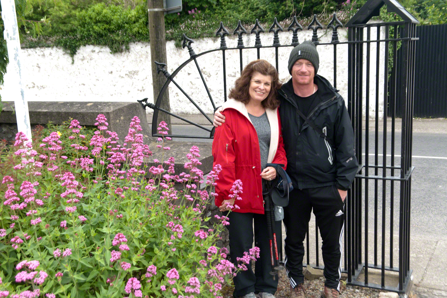
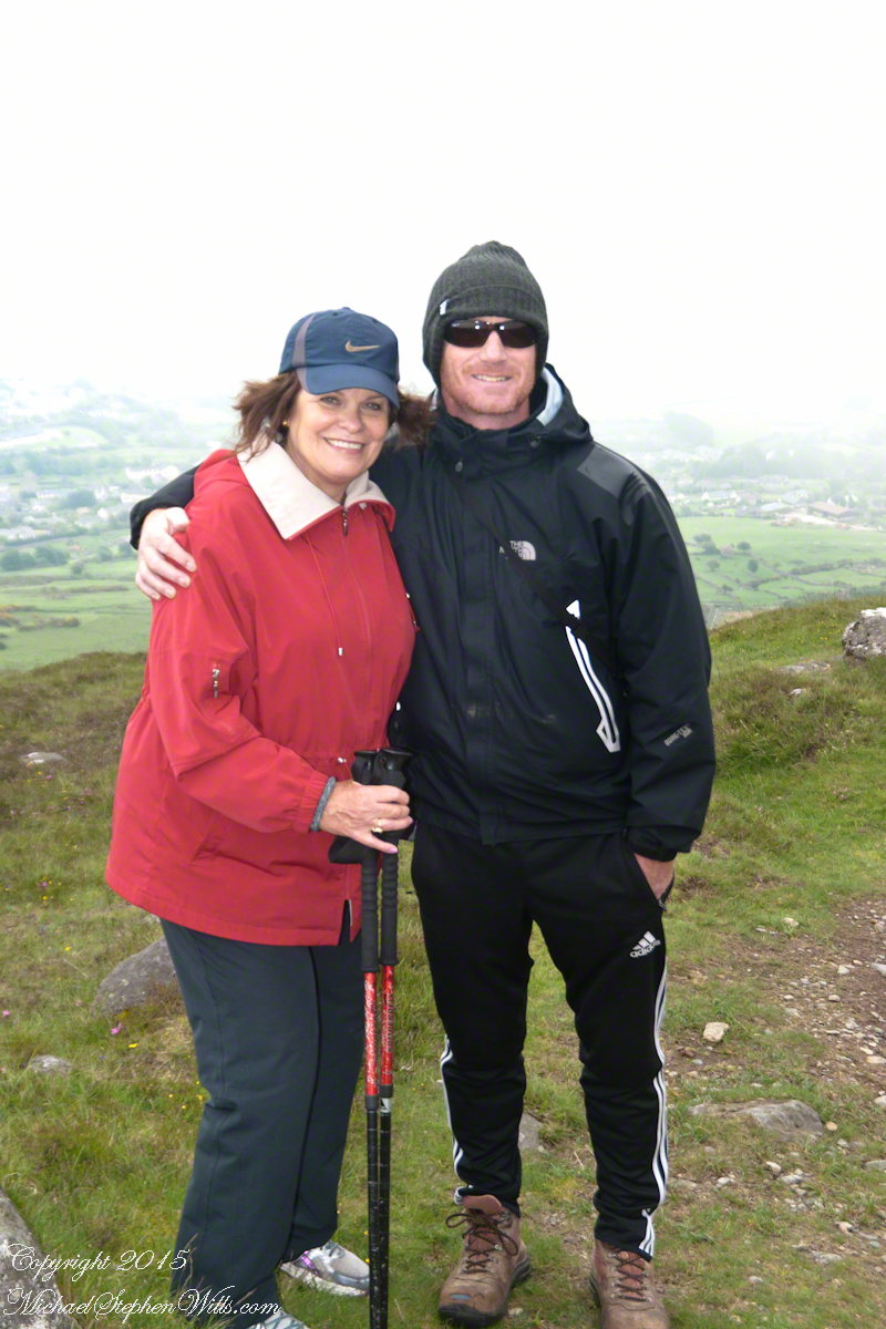
Pam Wills and Sean Mills on the grounds of the Church of Saint Michael, Dundalk Road (R176), Carlingford.
Rocks such as this are a favorite perch for leprechauns to rest and contemplate the works of man who have invaded their world. Inhabitants of Carlingford who wander Slieve Foye have come upon them often enough, their stories and certitude in the existence of the Little People are resistant to manifold doubters with their reasons and arguments.
Kevin Woods, aka McCoillte, was a doubter until worked on a stone wall on property he owned on Ghan Road, Carlingford. His belief did not arise on the discovery of the leather purse, covered with ages of dust and lime, nor with the gold coins inside. McCoillte pocketed the coins for luck. As luck would have it, McCoillte loved to walk on Slieve Foye. It was on one such walk he and his dog encountered Little People who paralyzed them to escape. His unexplained absence led to troubles with the wife.
This experience brought McCoillte around to enough of a belief that he, with lots of help, succeeded in petitioning the E.U. European Habitats directive to recognize leprechauns a protected species. According to a page on the Celtic Times web site, “The E.U. sent Madame Isobel Jeanne from Fecamp in Brittany France to Carlingford with the official letter declaring Carlingford Mountain (Note: otherwise known as Slieve Foye) protected, on the grounds that they could not prove or disprove their existence.” The page is titled “The Carlingford Leprechaun.” Google “Last Leprechauns” learn more about McCoillte’s stories.
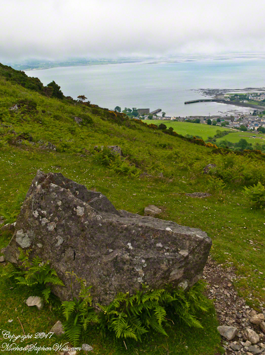
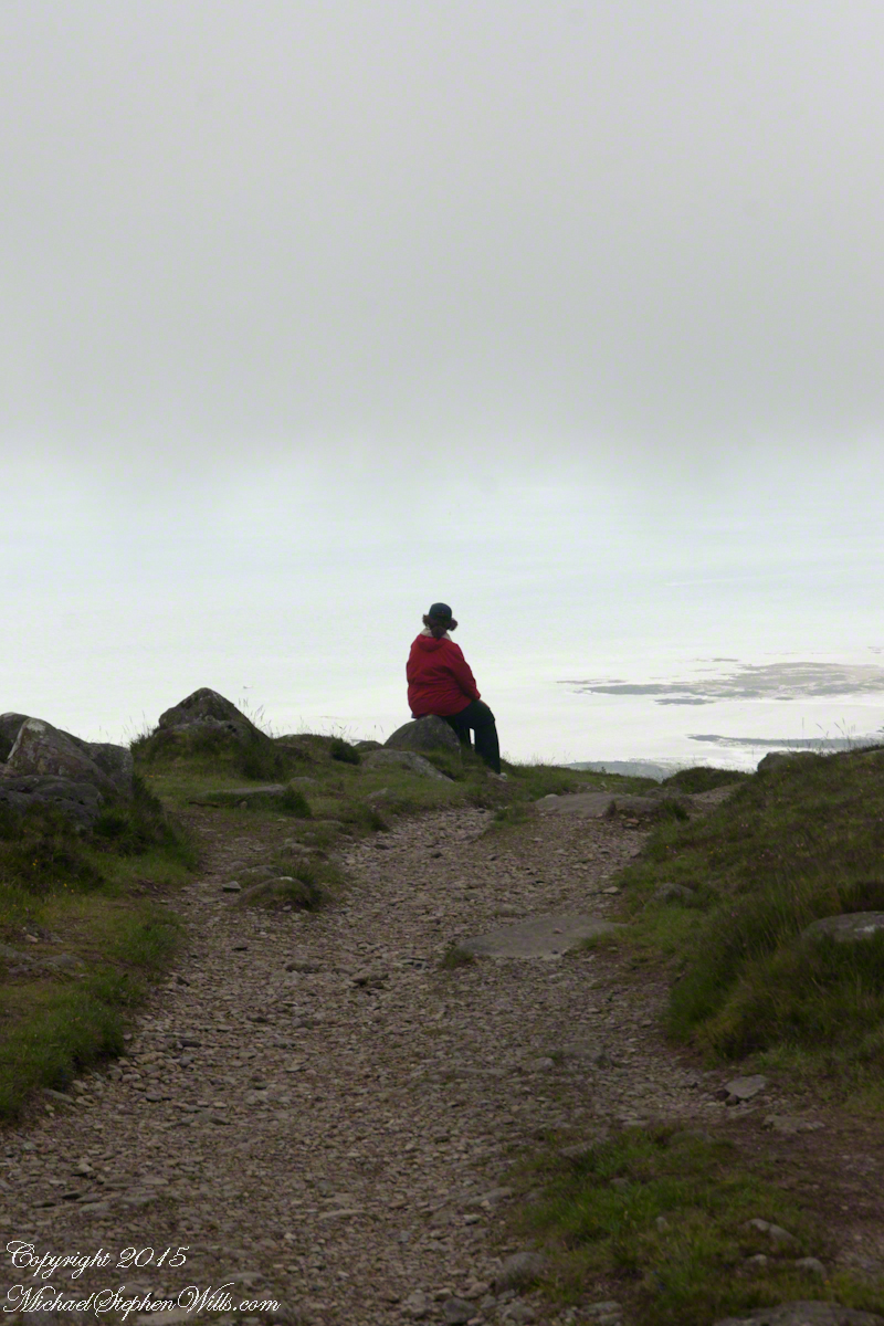
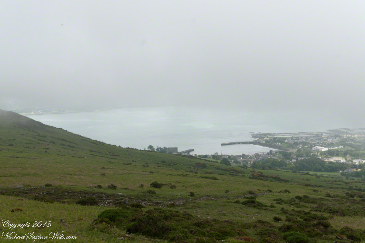
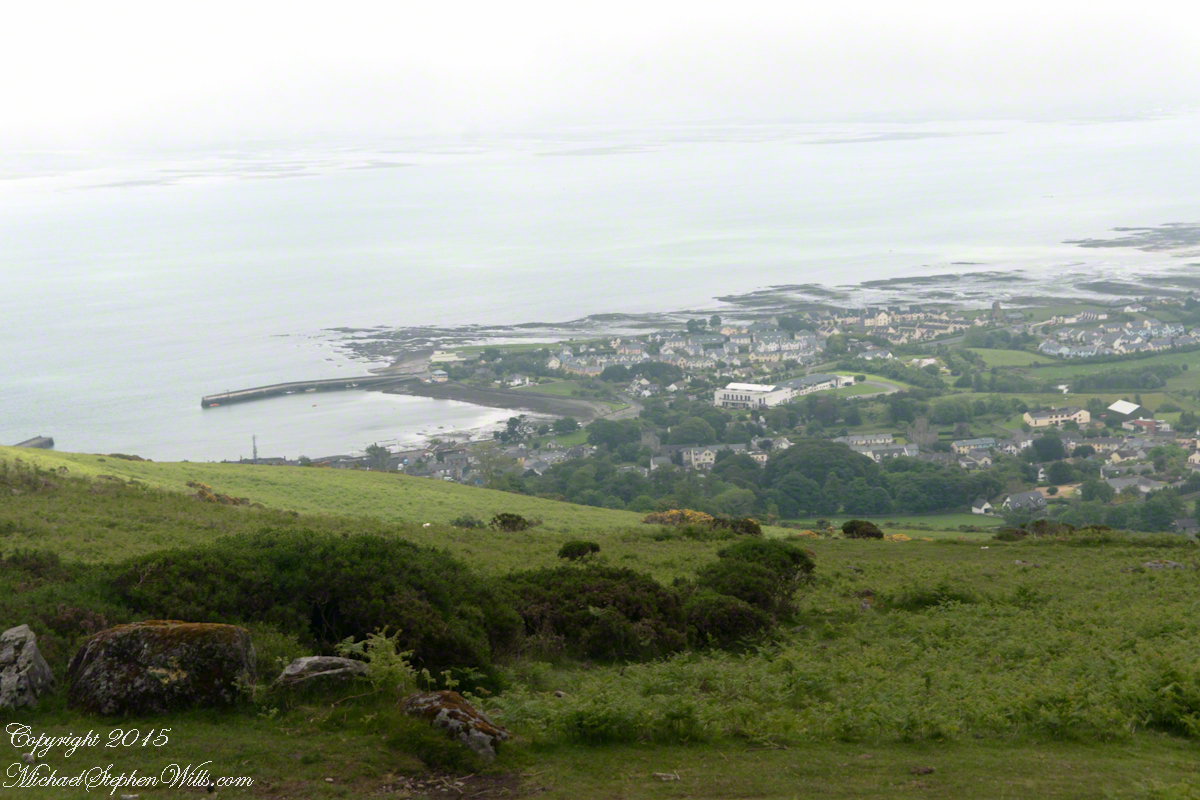
I came upon this rock on June 9, 2014 on a day my cousin Sean Mills invited us to walk the Tain Way over Slieve Foye. It was such a finely shaped piece of what I suppose to be granite, the view of Carlingford, the lough and farmland so compelling, I spent time composing this landscape.
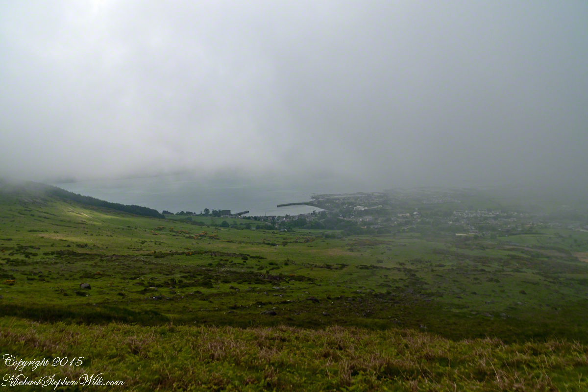
You can make out “King John’s Castle” just over the ridge and its yellow flowering gorse, on the margin of the blue lough. It is the boxy, grey structure; crenellations are visible on high resolution versions of the image. Carlingford is known for the castle, the popular name is for the English monarch who spent time there, although it was built by another.
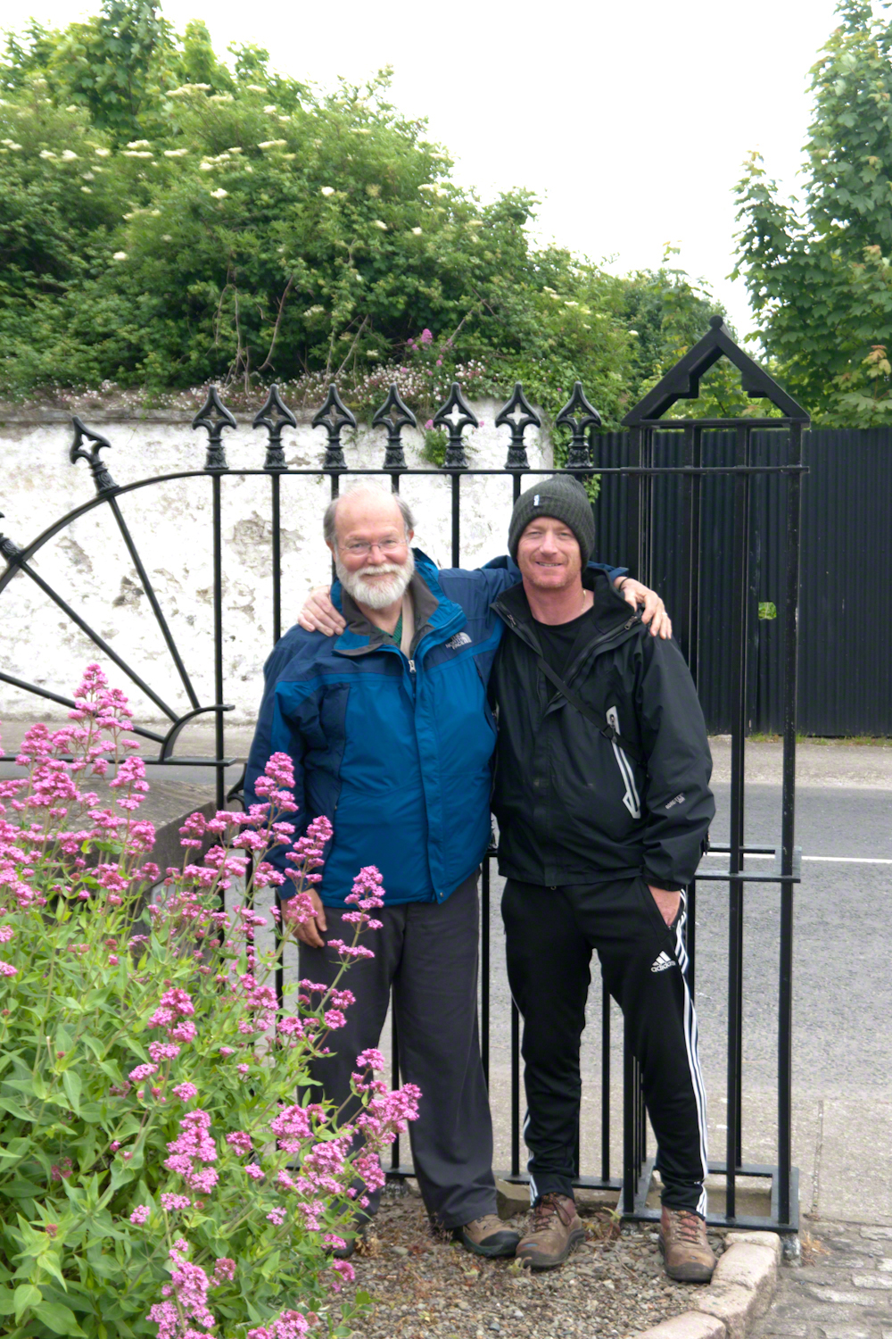
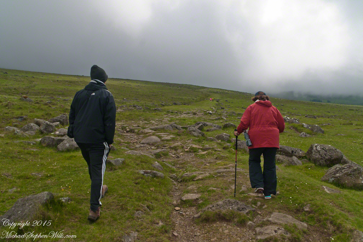
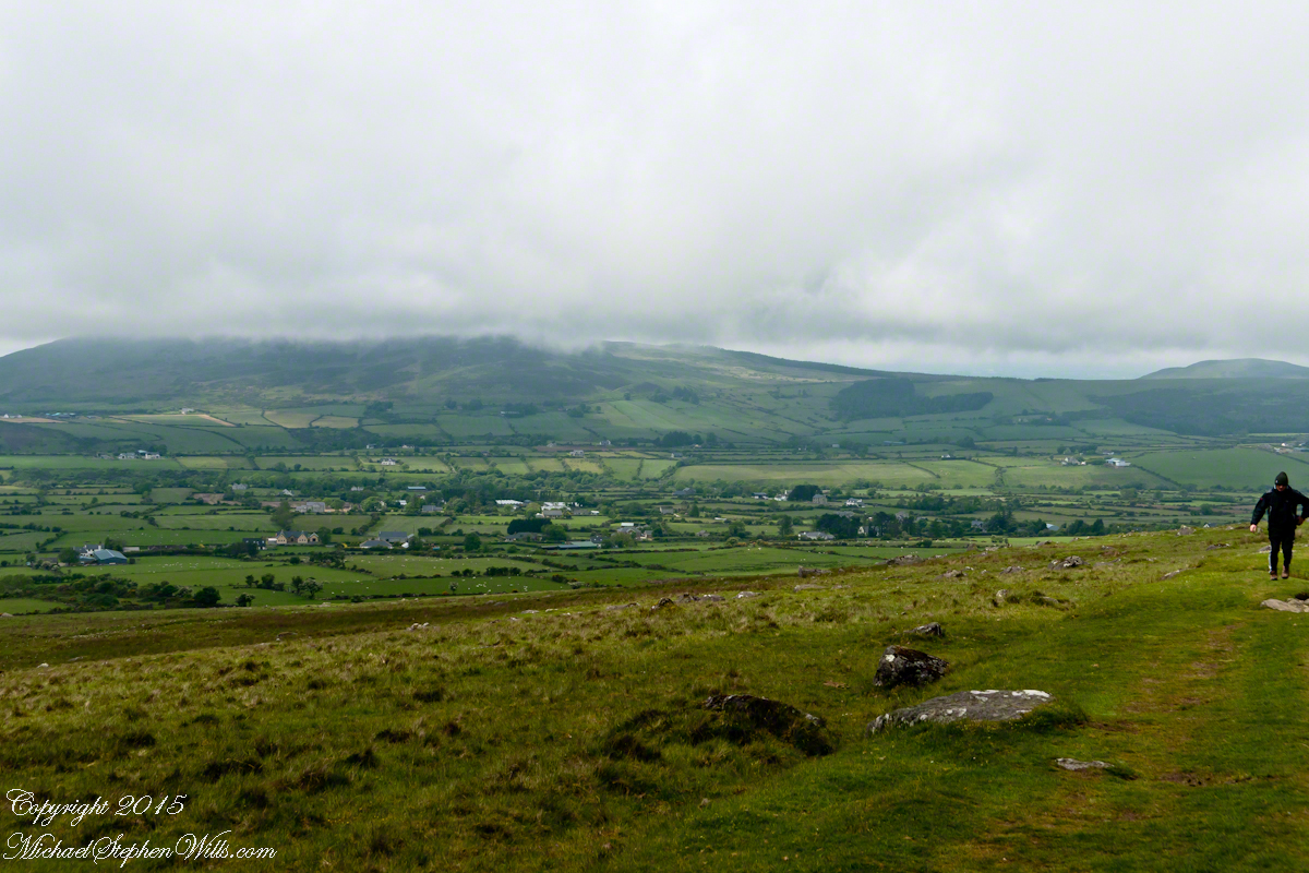
We did not climb so much as ascend, with effort, the flank of Slieve Foy, a peak of the Cooley Mountains, County Louth, Ireland. The group being cousin Sean, my wife, Pam, and myself.
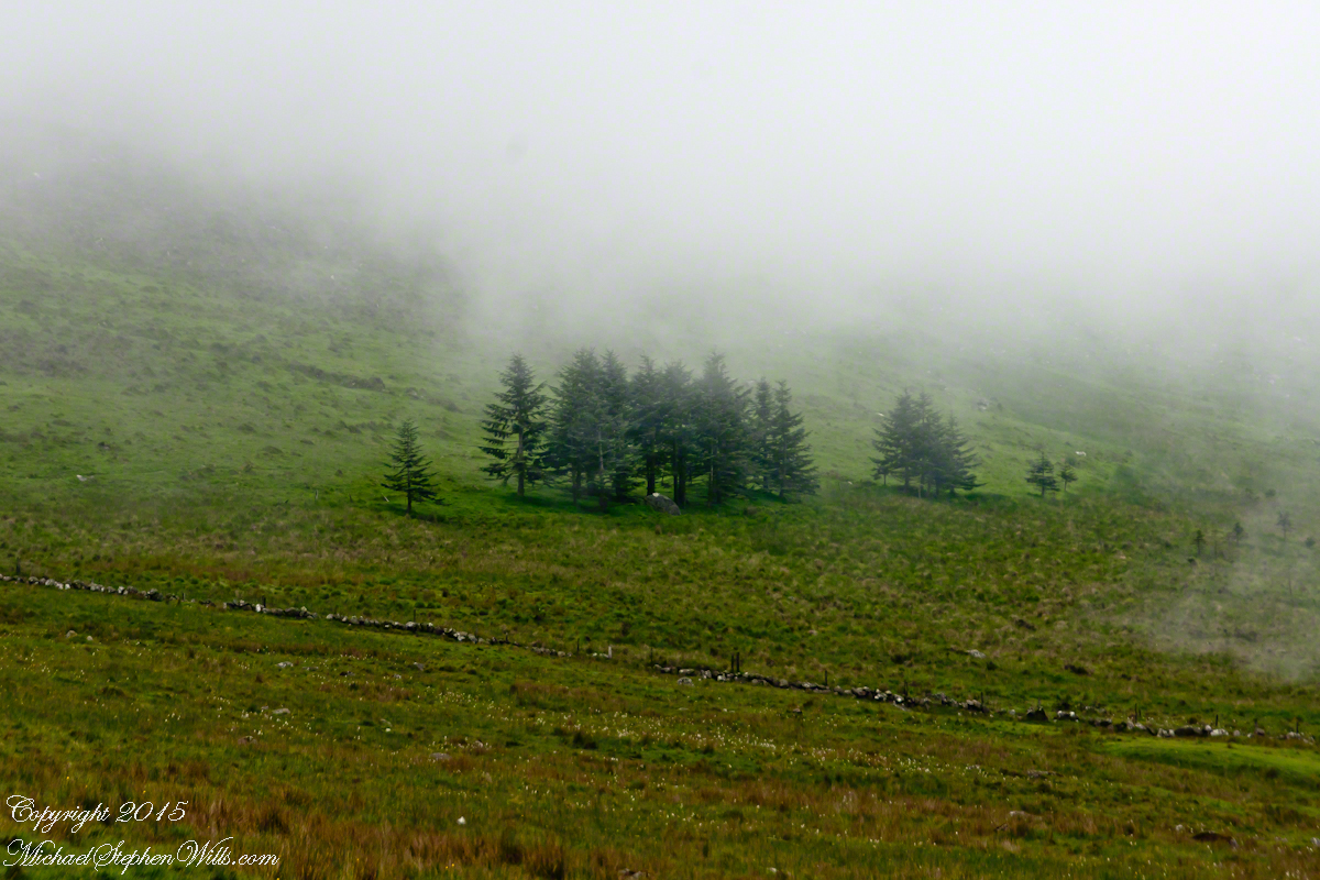
The ridge of Golyin Pass loomed in the mist where the path dissolved in low cloud. Sean pointed above, to the right to Barnavave, also know as Maeve’s Gap for the queen who came from the west of Ireland to take Donn Cúailnge, the Brown Bull of Cooley, by force of arms with an army behind her.
A modern rendering of Donn Cúailnge. See link at the bottom of this posting for more information.
When cousin Sean named Cú Chulainn, the champion of Maeve’s opponents, the Ulstermen, he recalled a story once lost, Táin Bó Cúailnge. A hospitable siege different from Maeve’s and mist are part of the story of the recovery of this tale.
A gathering of 150 poets, 100 pupils, and attendants strained the patience and wealth of Guaire Aidne mac Colmáin, King of Connacht, when it extended to a year and four months.
Our first and only encounter with fellow hikers. In the distance two figures appear over the next ridge, a mother and young daughter. She greeted us and challenged Sean to his knowledge of the area. Sean acquitted himself well and we continued.
On that 16th month, the king challenged the leader of his guests to the telling of a tale. Guaire demanded Seanchan Torpest, the chief poet of Connacht, to recite the whole of Táin Bó Cúailnge, known in English as the Cattle Raid of Cooley or The Táin (Cattle Raid).
Click a gallery pic for a larger view.
In this way the king was relieved of his guests: the book of the Táin was lost before their lifetimes, rumored to be abroad. Abashed at his failure, Seanchan Torpest withdrew. Fellow poets and followers trailed out from the castle.
Seanchan Torpest regrouped the host (an opened question is who then supported them) in conference to construct Táin Bó Cúailnge. It was a false hope as the gathering discovered while each poet knew a part of the whole, most of the story was lost. His honor, reputation and self-esteem in tatters the Chief Poet of Connacht, set off with Murgen, his son, and second cousin Eimena to return the Táin to Ireland.
Into mists such as those Pam, Sean and I ascended, the travelers soon were lost and separated.
Magically, Murgen finds the grave of the Uncle of Cú Chulainn in the mists, there to meet the shade of that enormous man, Fergus mac Róich is his name. In the Táin, as related in whole by Fergus to Murgen, Fergus was led by circumstances to ally with Maeve, to guide her army against the Ulstermen. As a deposed king, traitor to Ulster and Uncle to the champion Cú Chulainn, Fergus knew the tale entire.
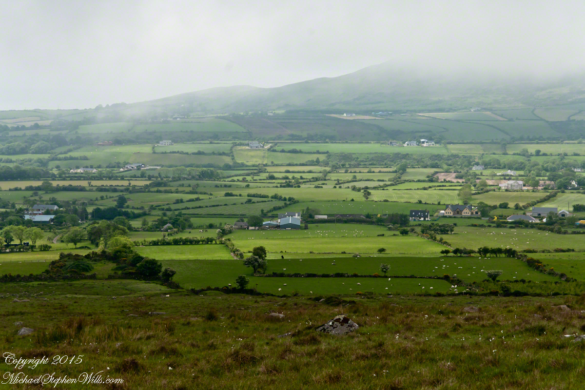
View as we approached Goliyn Pass
It was from the mists that Murgen emerged, found his father and cousin, and returned together without the book, but with possession of the substance of the Táin.