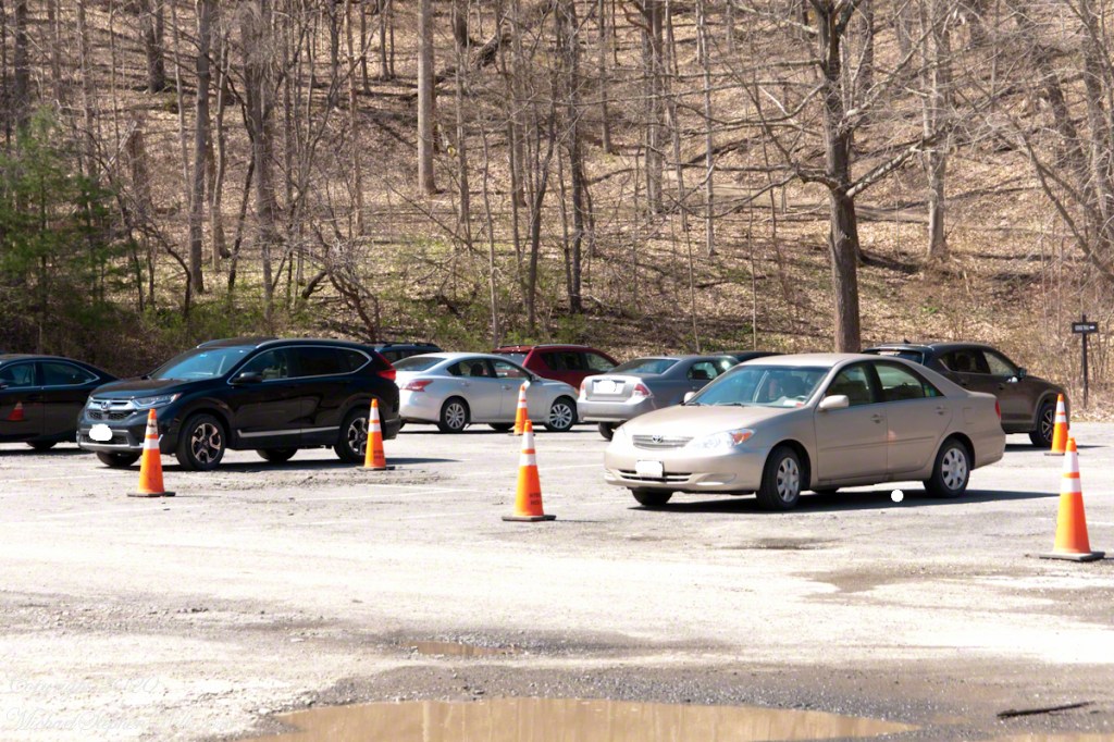
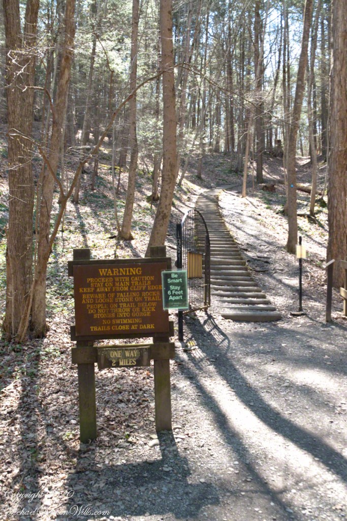
Parks were open during Govenor Cuomo’s “New York State on PAUSE.” Still, as a member of the at-risk group I was reluctant to visit, unsure of how crowded it will be. On a Monday afternoon, bright with sun, I drove over to Robert H. Treman lower park to check out the situation.
Click photograph for a larger view. To do this from WordPress Reader, you need to first click the title of this post to open a new page.
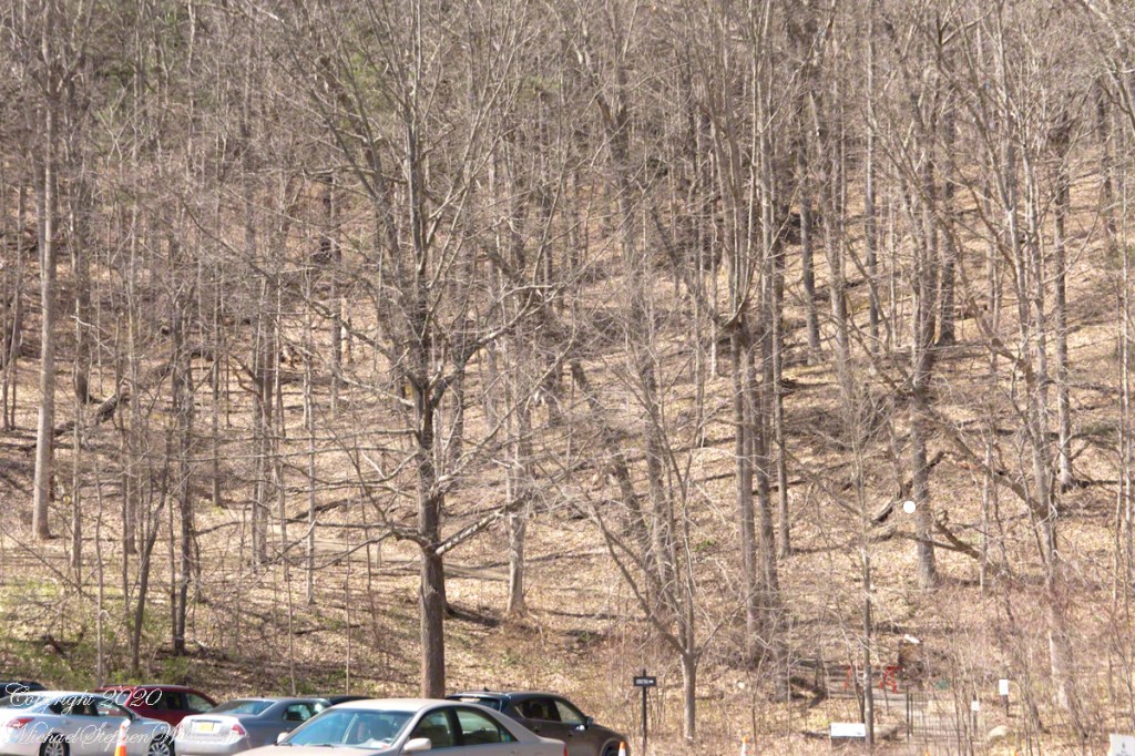
Social Separation ParkingGorge Trail is Closed for the winterParking Lot
I carried the Sony in hand and packed in a Canon with macro lens and a Manfrotto travel tripod.
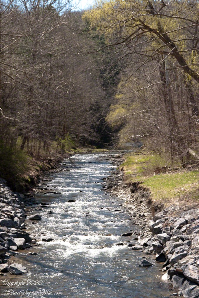
Enfield Creek from park bridge
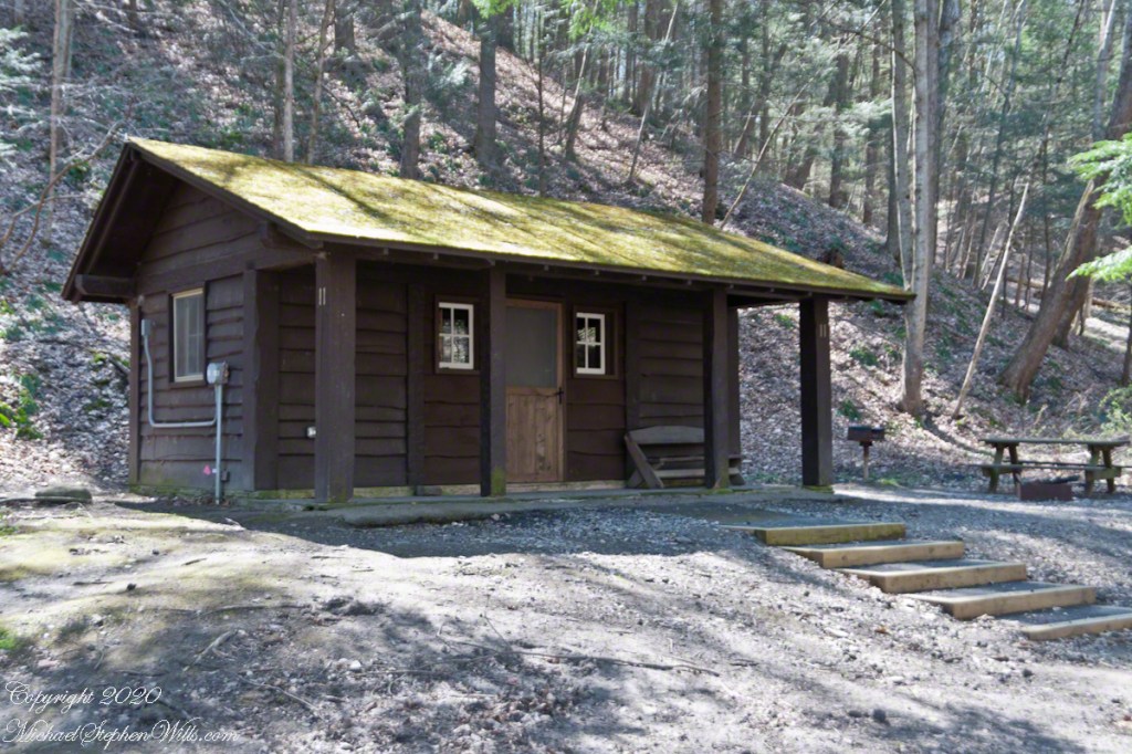
The path to a trail that climbs up the south side of Enfield Glen crosses Enfield Creek via a bridge, wends through cabins……
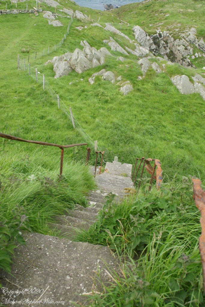
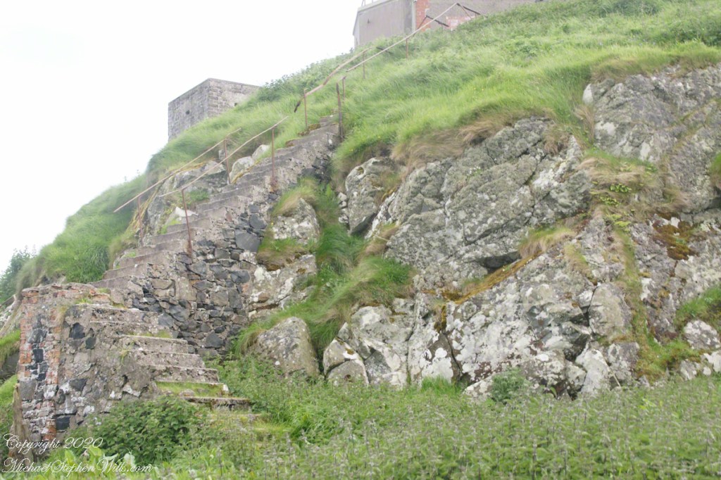
…..then heads up stairs that can seem to be forever. The green sign with white letters is new. This the South Rim Trail avoids the cliffs that make the Gorge trail so dangerous November through May.
Copyright 2024 All Rights Reserved Michael Stephen Wills
Join the escapade as you witness three majestic Mergansers, donning nature’s finest tuxedos, in a graceful ballet on the springtime stage of Cayuga Lake.
As you gaze upon these three fine feathered fellows, all members of the exclusive Common Merganser men’s club, they seem to glide upon the watery stage of Cayuga Lake with all the confidence of Broadway stars on opening night. They are the aquatic equivalent of a sharply dressed barbershop quartet, minus one, in their matching tuxedos, ready to sing the springtime serenade of their species.
The chap at the forefront is Captain Black-Crest, sporting a glossy noggin that shimmers with an inner light, undoubtedly the envy of every duck on the pond. He’s streamlined and debonair, with a white body that’s as crisp as the first snowfall and a dark back that’s as sleek as a shadow in moonlight. If ducks had monocles and top hats, he’d be first in line.
In the middle, there’s Sir Dapper-Diver, a mirror image of his companion, with a neck as white as the driven snow and a dignified black back that gleams like polished onyx in the dappled sunlight. He’s the quiet achiever of the group, poised and ready to make the plunge into the depths below, proving that style need not be sacrificed for substance.
And to the right, meet Admiral Feather-Finesse. His poise on the water suggests a mastery of the waves, a commander of the current. He carries his elegant attire with an air of grace that only comes with a natural pedigree. In synchronized perfection, he and his brethren form a regatta of refinement, a display of nature’s own black-tie affair.
These are male Common Merganser (Mergus merganser) in breeding plumage, characterized the body white with a variable salmon-pink tinge, the head black with an iridescent green gloss, the rump and tail grey, and the wings largely white on the inner half, black on the outer half. Like the other mergansers, these piscivorous ducks have serrated edges to their bills to help them grip their prey, so they are often known as “sawbills”. In addition to fish, they take a wide range of other aquatic prey, such as molluscs, crustaceans, worms, insect larvae, and amphibians; more rarely, small mammals and birds may be taken. As in other birds with the character, the salmon-pink tinge shown variably by males is probably diet-related, obtained from the carotenoid pigments present in some crustaceans and fish. When not diving for food, they are usually seen swimming on the water surface, or resting on rocks in midstream or hidden among riverbank vegetation, or (in winter) on the edge of floating ice.
Together, these three Common Mergansers (Mergus merganser) in their prime are a trifecta of elegance, a testament to the timeless beauty found in nature’s simplicity. They paddle forth with purpose, their matching plumage a striking contrast to the rippling blues and grays of the water, a parade of poise and plumage that delights the observant eye.
So, dear reader, as you observe this photo, take a moment to appreciate the charming uniformity and the subtle quirks that make each bird, despite their shared wardrobe, uniquely magnificent. It’s a snapshot of life at its most graceful, a picture worth far more than a mere thousand words.
Copyright 2024 Michael Stephen Wills All Rights Reserved
Join me in reminiscing about a memorable trip to Ireland, marked by the now-closed Breezemount House B&B and the scenic Dunseverick Castle Ruin. Dive into my journey and the advice that shaped it
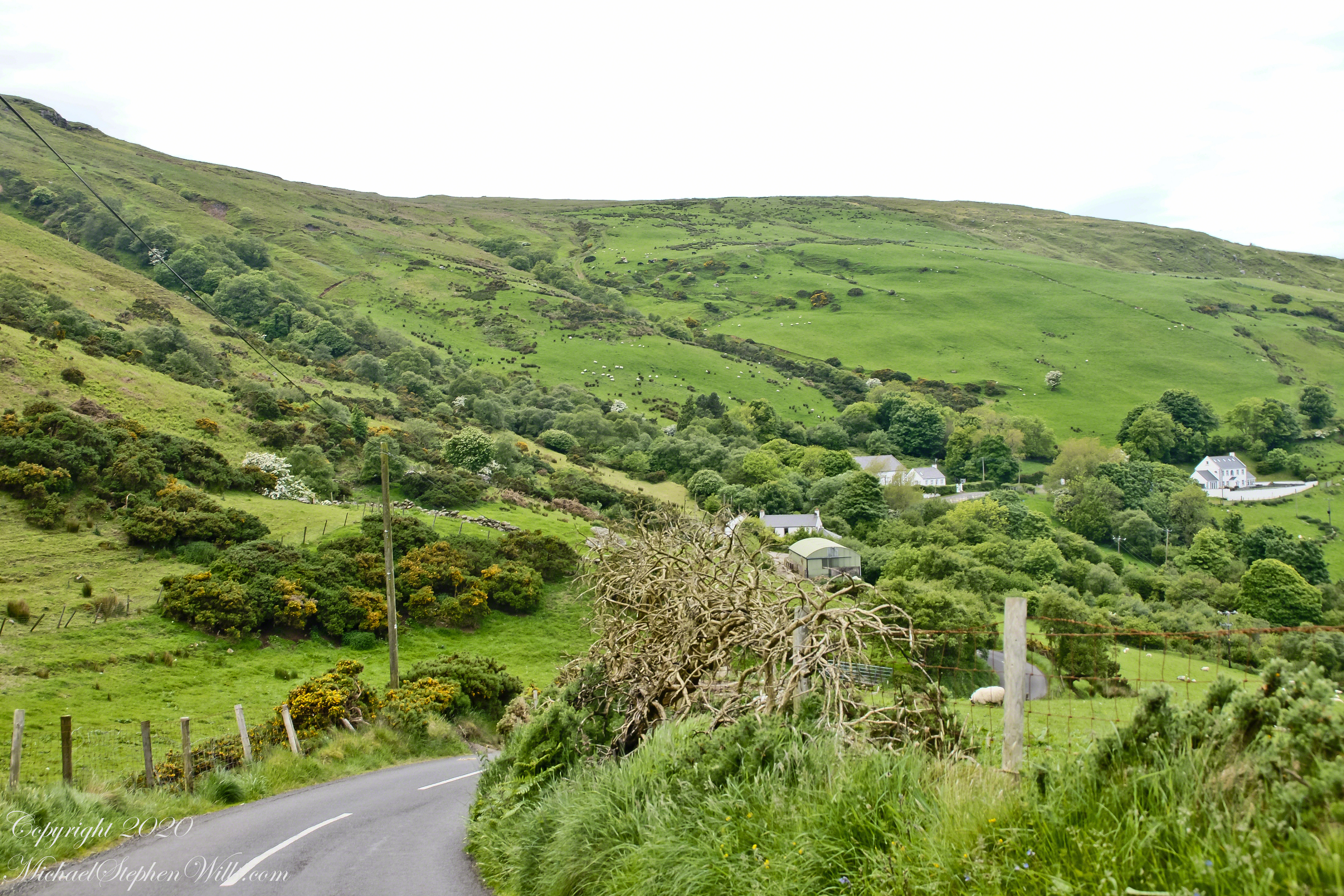
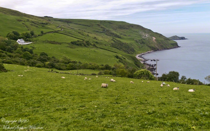
This photograph from the bottom of the Torr Road hill takes in Coolranny Townland. a slice of land running from the ridge to Loughan Bay. We see a number of hawthorne trees in flower, yellow flowering Whin Bush, houses and the Roman Catholic church Saint Mary’s Star of the Sea.
Tor in Irish is a steep rocky height. Likewise, Corr means odd, uneven, rounder, convex, curved, peaked, projecting, smooth. Combined Torcorr is the townland where we stopped on the Torr Road, halted by our wonder at this sight. In the distance, Torr Head projects into North Channel, the closest land to Scotland. Following the coast, the cliffs in front of Torr Head is home to numerous sea birds. The curved bay is named Loughan, the rocky sand beach are ruins of cottages emptied by Irish emigration. The white building is Saint Mary’s Star of the Sea Roman Catholic Church. County Antrim, Northern Ireland.
View of Coolranny townland with Saint Mary’s Star of the Sean Roman Catholic Church from Torcorr townland, Torr Road . County Antrim, Northern Ireland.
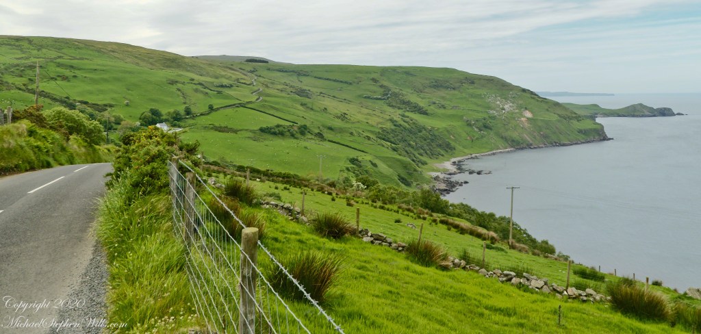
The photograph of the header, taken by Pam, is from either Coolranny or Loughan Townland, looking across a sheep pasture, the North Channel of the Irish Sea toward the Mull of Kintyre, Scotland just twelve miles distant.
Here is a slideshow of this post’s images. To visit from WordPress Reader, you need to first click the title of this post to open a new page.
Tor in Irish is a steep rocky height. Likewise, Corr means odd, uneven, rounder, convex, curved, peaked, projecting, smooth. Combined Torcorr is the townland where we stopped on the Torr Road, halted by our wonder at this sight. In the distance, Torr Head projects into North Channel, the closest land to Scotland. Following the coast, the cliffs in front of Torr Head is home to numerous sea birds. The curved bay is named Loughan, the rocky sand beach are ruins of cottages emptied by Irish emigration. The white building is Saint Mary’s Star of the Sea Roman Catholic Church. County Antrim, Northern Ireland.View of Coolranny townland with Saint Mary’s Star of the Sean Roman Catholic Church from Torcorr townland, Torr Road . County Antrim, Northern Ireland.On the way to Torr Head we stopped at this spot in Coolranny Townland to take in this view of the Irish Sea. The land overlooks Loughan Bay toward the Mull of Kintyre and Sanda Island, Scotland. County Antrim, Northern Ireland.
Copyright 2023 All Rights Reserved Michael Stephen Wills
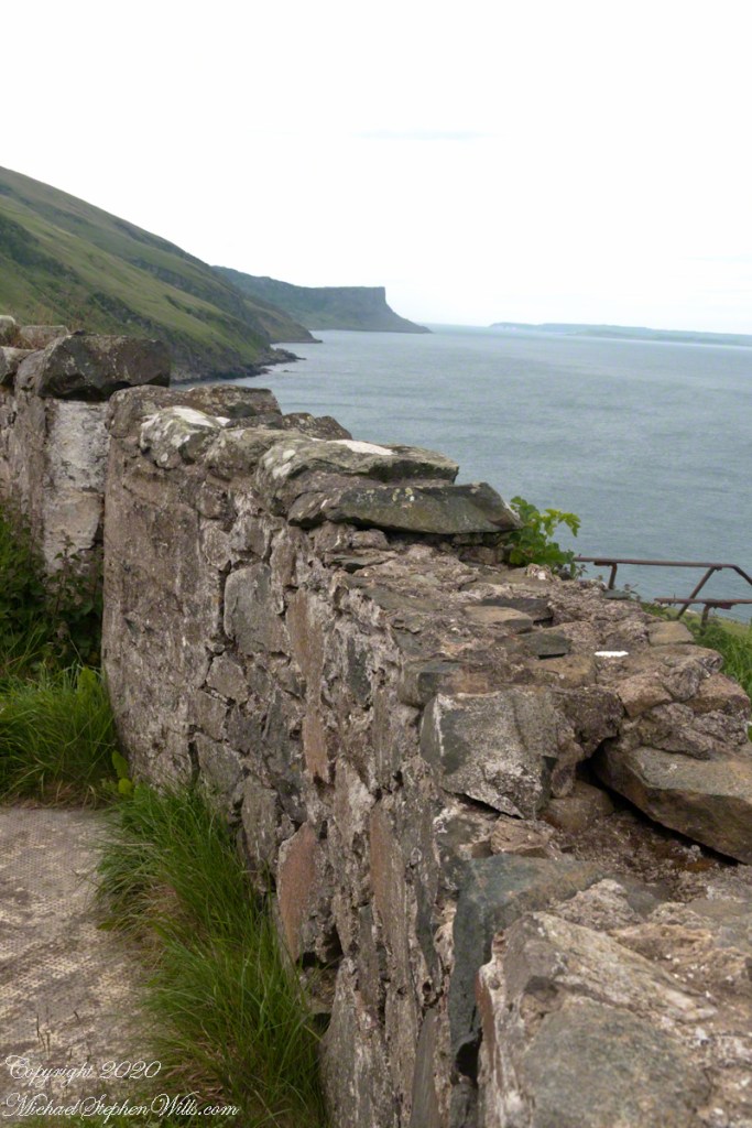
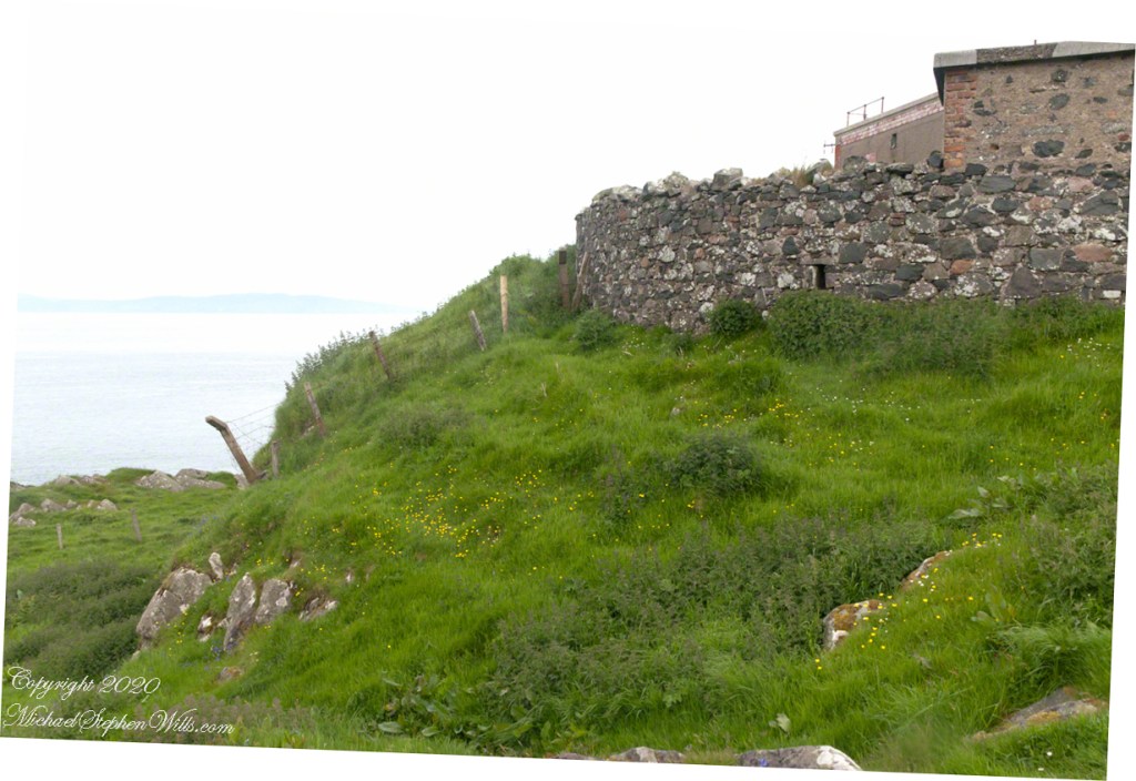
Weathered masonry at the height of Torr Head was there to serve the custom house and as support for a spotting station where ships transiting the Strait of Moyle (Irish Sruth na Maoile), the 12 miles of water to the Mull of Kintyre.
Lloyd’s of London, vitally interested in the appearance of ships’ progress crossing the oceans, had notice of passage via semaphore (and, later, Marconi’s “wireless”). Destination ports were copied in.
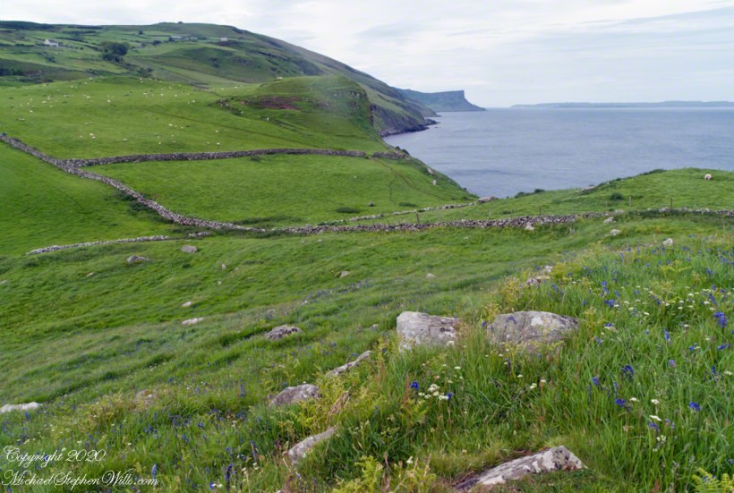
Scottish influences touched the landscape covered by yesterday’s post, today we continue on this subject with these south facing views from Torr Head. The far ridge of Torrcor marks Loughan Bay.
A townland on the other side of Torrcor hill (and townland) has an eponymous ruin, Altagore Cashel. Mores the pity we did not visit this site, a thick drystone enclosing wall from the 5th century (you can see photographs from another site at this link). Cashel is from the Irish Caiseal, a circular, defensive fort (“ring fort”).
Books such as “Antrim and Argyll: Some Aspects of the Connections” tell of connections over the millennia, clan associations between the islands and ring forts such as Altagore Cashel.
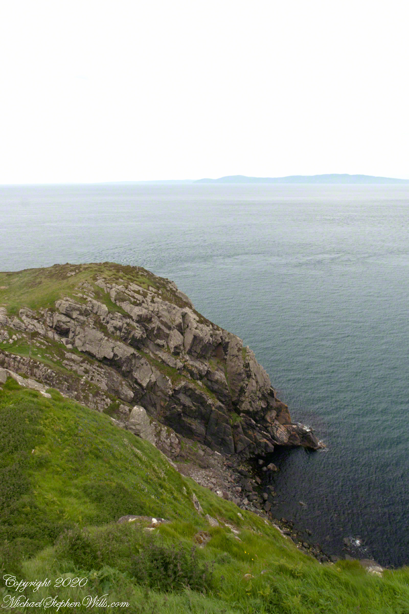
Argylshire Scotland across the North Channel from Torr Head
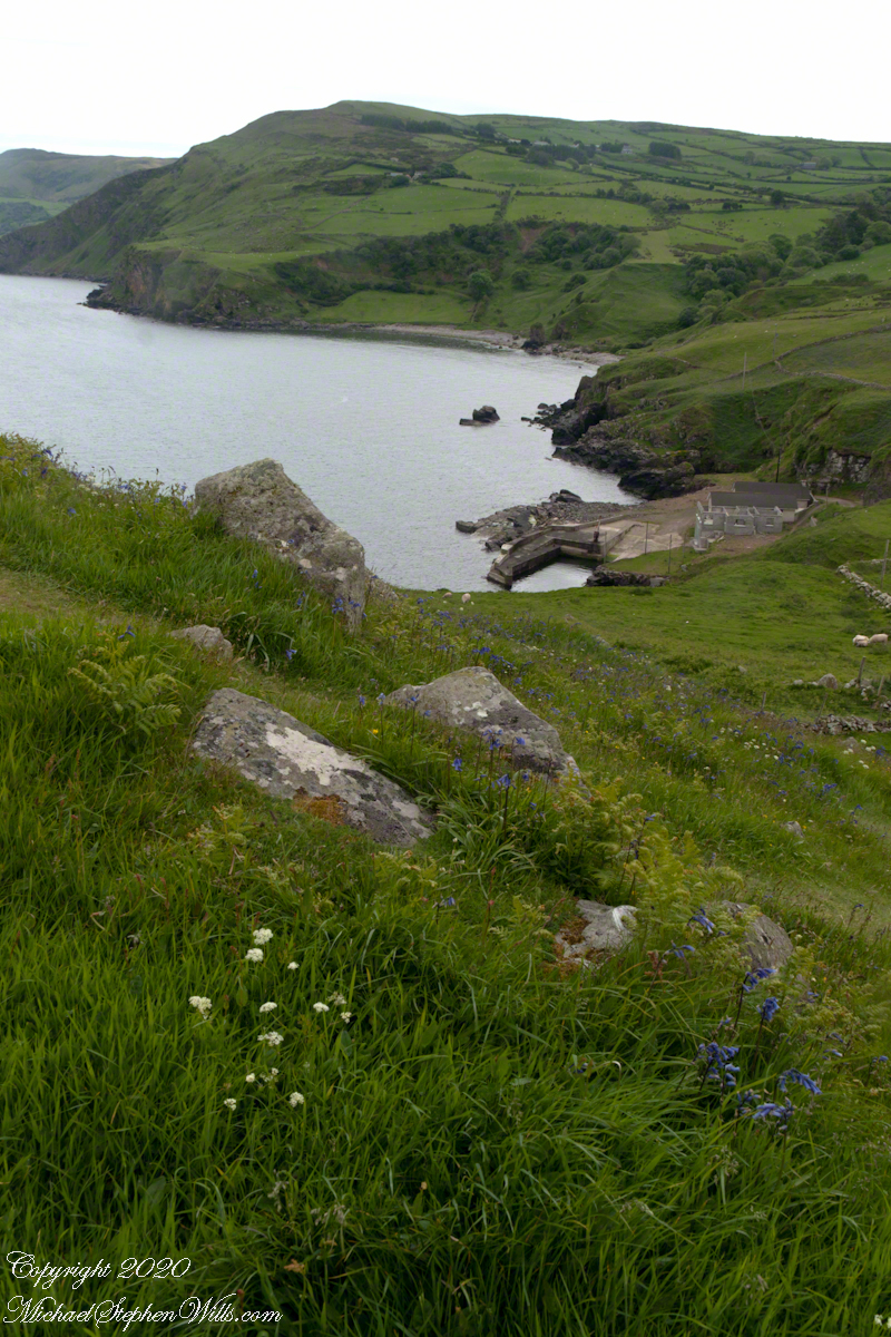
Late spring and summer, weekdays, a net is stretched across the bay to catch salmon nosing up the coast, searching for their home spawning stream, here called Altmore Burn. “Burn” is a Scottish term for a fresh water source, evidence of the influence 12 miles across the north channel.
The small harbor seen here from Torr Head is for the salmon fishery. Small boats will seek shelter here from the wind and tides strong enough to roar in passing the Head, like a fast flowing river.
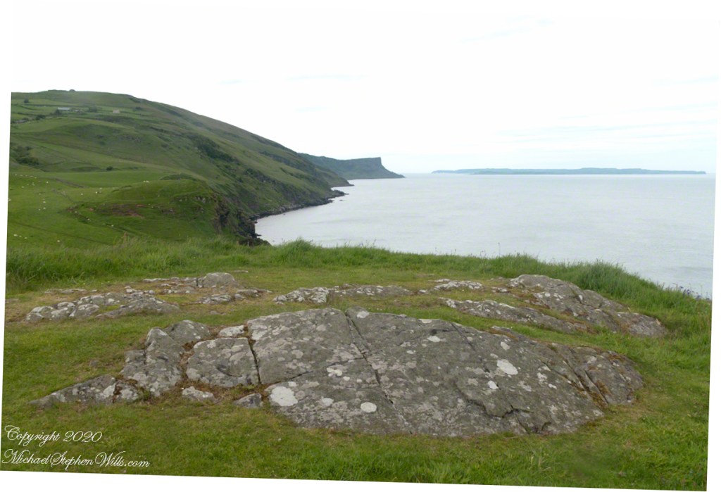
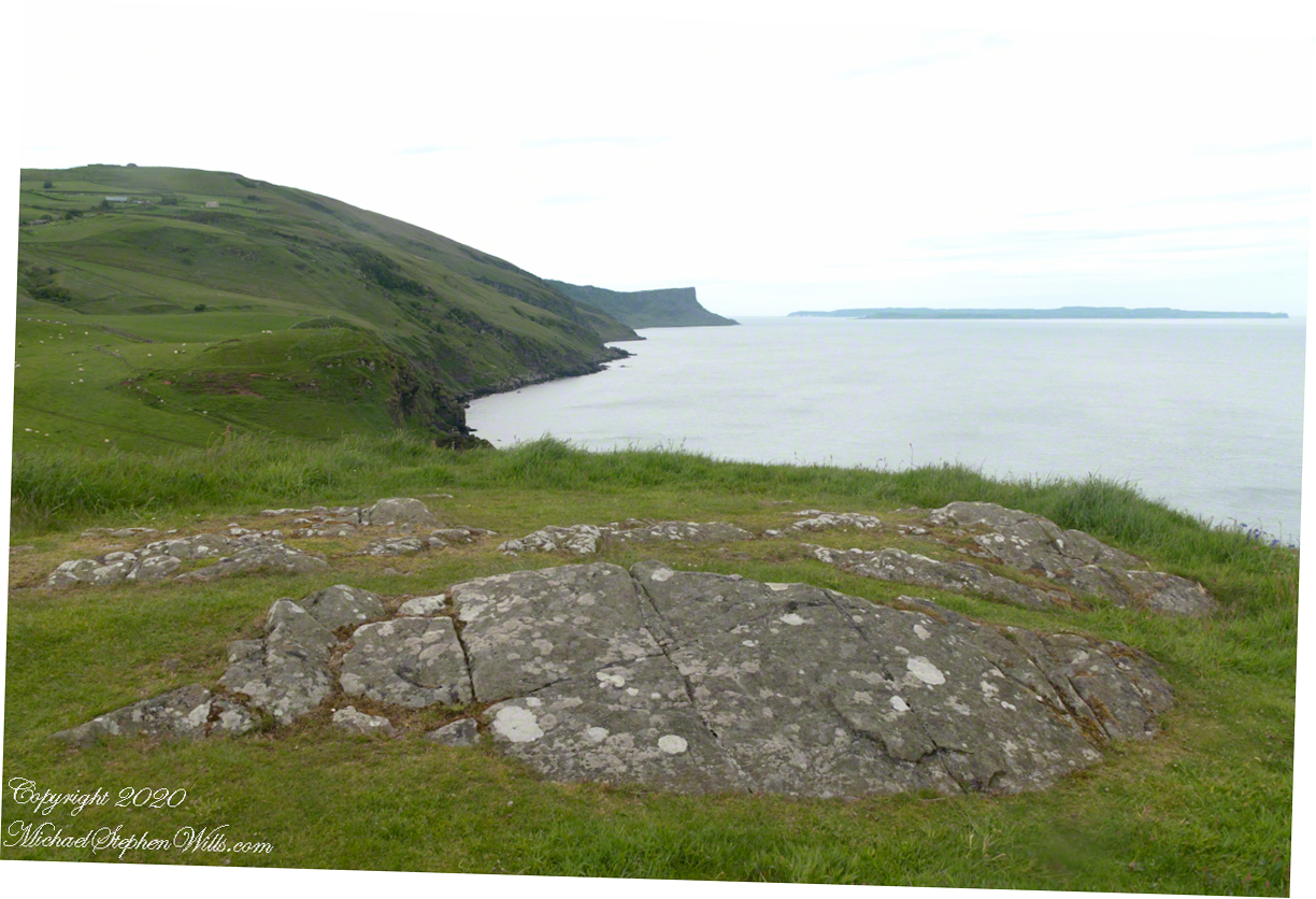
Taking in a flower meadow, foreground, coaster sheep pastures, the photograph, below, looks north from Torr Head. The high hill, midground, is Greenanmore, notable for a the largest passage tomb of the Antrim Glens. Locally known as “Barrach’s Tomb,” for the Red Branch knight of the 1st Century AD fort on Torr Head, tree ring research of the mid-20th Century dates these tombs in the neolithic The hilltop passage tomb was an ancient relic when the mortar of Barrach’s Torr Head fort was drying.
When I enlarge the original photograph, visible on the ridge is a decommissioned Cold War listening post, the tomb is near that. The distant land across the North Channel water is Rathlin Island.
Click photograph for a larger view. To do this from WordPress Reader, you need to first click the title of this post to open a new page.
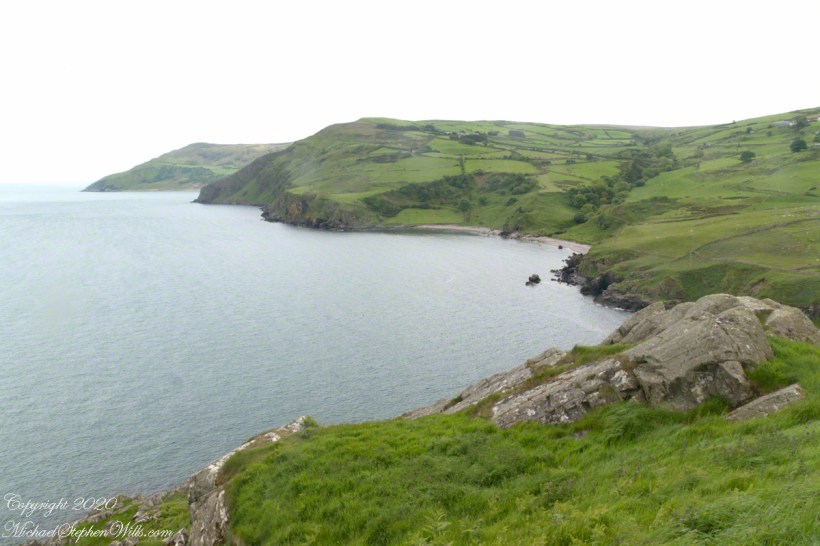
Knights of the Red Branch appear towards the end of “Deirdre and the sons of Uisneach”, a tale from 1st century AD Ireland, as protectors of the lovers Dierdre and one of the sons of Uisneach, named Naoise. The two fled to Rathlin Island, seen in the distance in the following photograph.
Distant Rathelin Island from Torr Head
From Rathlin Island they passed over the Irish Sea to Scotland where they lived happily for a term of years.
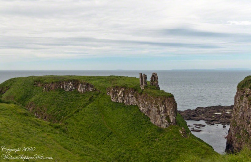
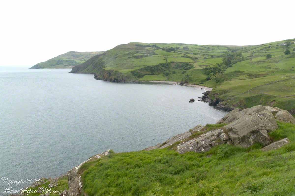
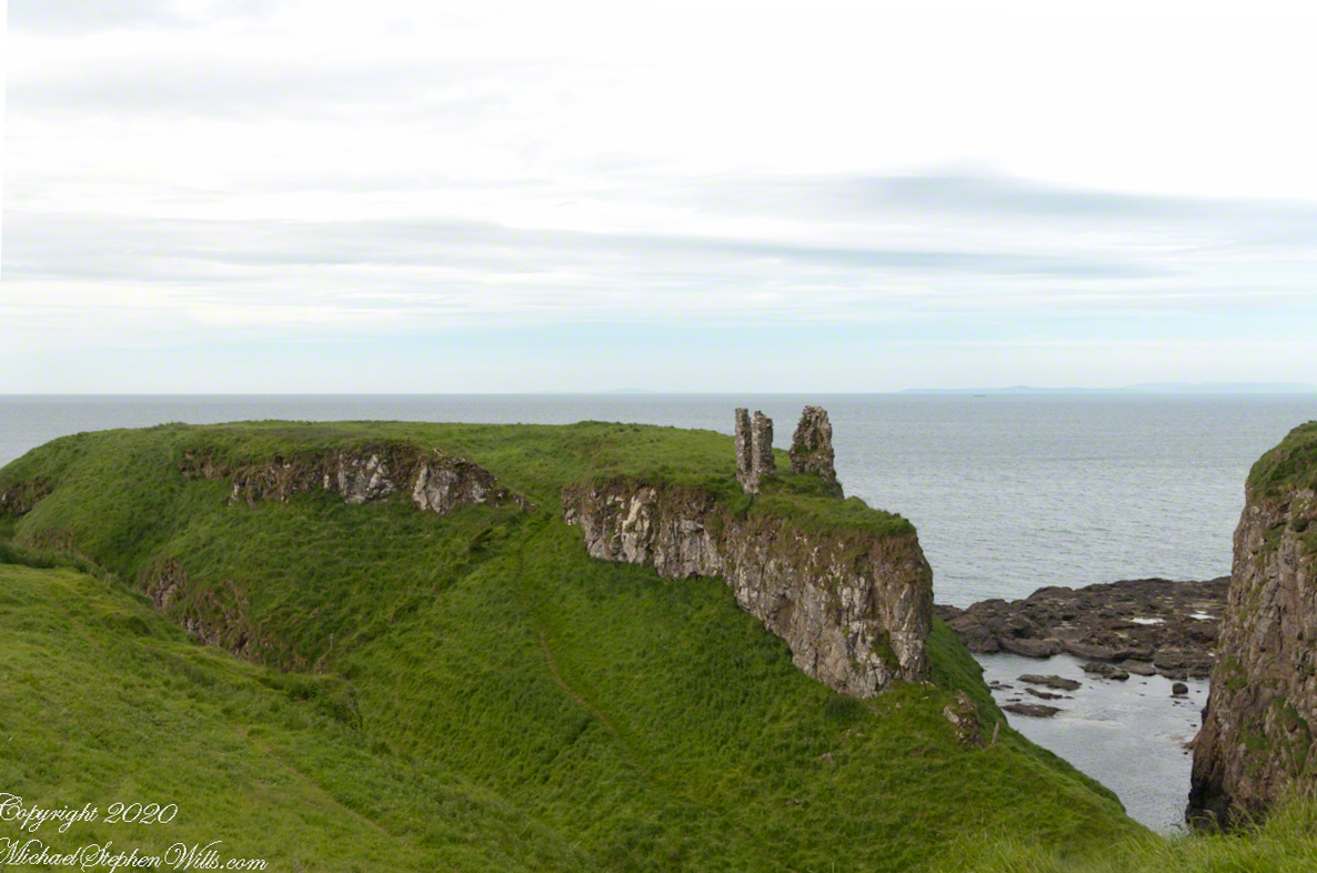
Barrach’s fort no longer exists, a Coast Guard Station was built over the site. There are other intact ruins on this picturesque coast. Here is one close to the Giant’s Causeway, Dunseverick Castle.
Dunseverick Castle
Copyright 2022 All Rights Reserved Michael Stephen Wills
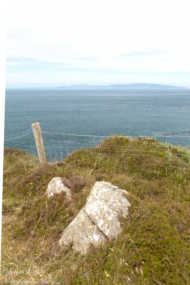
Torr in Irish is a steep rocky height. Likewise, Corr means odd, uneven, rounder, convex, curved, peaked, projecting, smooth. Combined Torcorr is the townland where we stopped on the Torr Road, halted by our wonder at this sight.
In the distance, Torr Head projects into North Channel, the closest land to Scotland. Following the coast, the cliffs in front of Torr Head are home to numerous sea birds such as Fulmars (family Procellariidae) nad Oystercatchers (family Haematopodiadae). Along the rock beaches next Eider Ducks (genus Somateria). You might see the Common Buzzard (species Buto buteo).
Click photograph for a larger view. To do this from WordPress Reader, you need to first click the title of this post to open a new page.
In the following photograph Torr Head seen from immediately above. I stand on the ancient site of Barrach’s fort, a knight of the Red Branch. After some internet research I cannot find another reference to this knight, other than the information placard on Torr Head.
Copyright 2022 All Rights Reserved Michael Stephen Wills