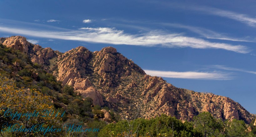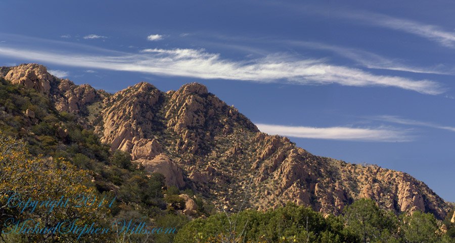
Dragoon Ridge

Dragoon, not dragon

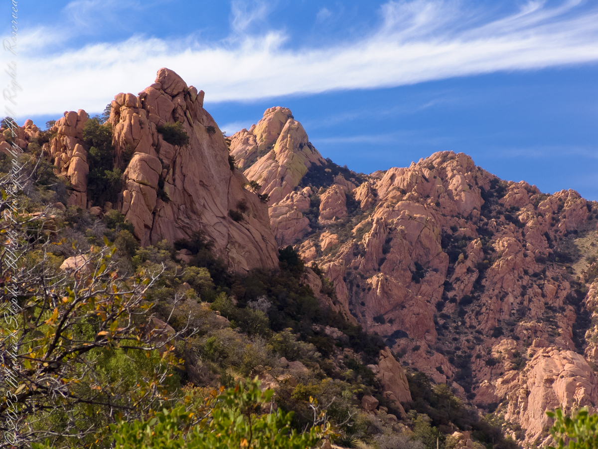
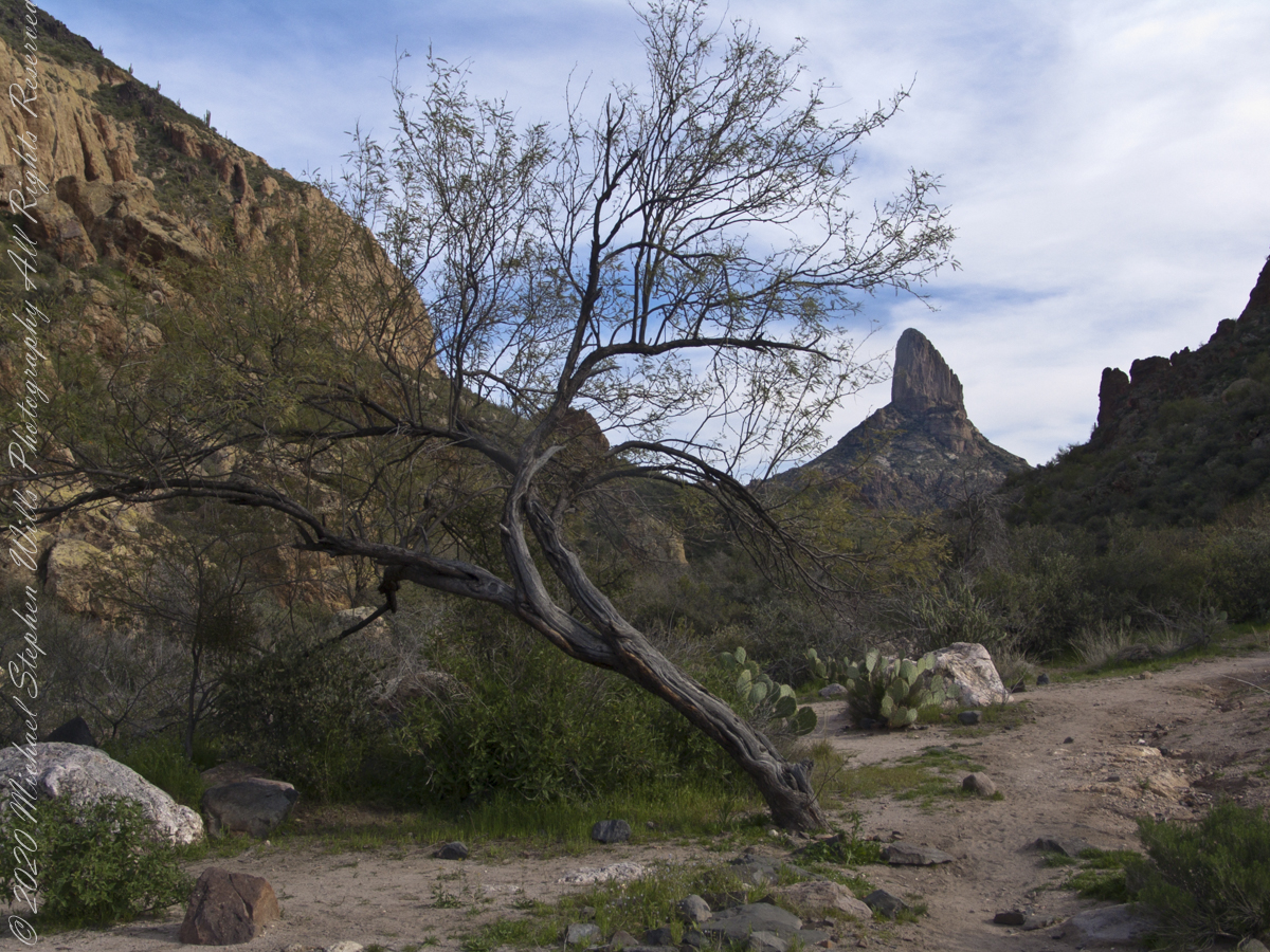
Dragoon Mountains of southeastern Arizona are named, not for the resemblance of this ridge to the back of a Dragon, but for a type of soldier trained for horseback riding and infantry.  These were the U.S. troops sent to “pacify” the Chiricahua Apache homeland.

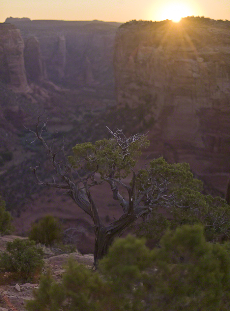
Understanding location lighting is a matter of experience and luck.

Cochise Stronghold campsites are on the eastern slope of the Dragoons, sheltering them from the late afternoon sun.

One this day in April I explored the trails until sunset and was lucky enough to be setup for the 14 minutes of that day when the light was absolutely perfect.

Copyright 2023 Michael Stephen Wills All Rights Reserved

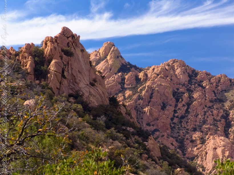
Dragoon Spires

Lucky enough

Understanding location lighting is a matter of experience and luck.

Cochise Stronghold campsites are on the eastern slope of the Dragoons, sheltering them from the late afternoon sun.

One this day in April I explored the trails until sunset and was lucky enough to be setup for the 14 minutes of that day when the light was absolutely perfect.

“Dragoon Spires in Afternoon Light”

These photographs are from two days spent at Cochise Stronghold, a part of the U.S. Forest Service Coronado Forest managed by Arizona State Parks located off the Interstate 10 East of Tucson between Benson and Wilcox.

This rugged natural fortress was, for some 15 years, the home and base of operations for the famed Chiricahua Apache Chief, Cochise.  Cochise and about 1,000 of his followers, of whom some 250 were warriors, located here.

Click Me for my OnLine Gallery

Born in present-day Arizona, Cochise led the Chiricahua band of the Apache tribe during a period of violent social upheaval. In 1850, the United States took control over the territory that today comprises Arizona and New Mexico.  Not hostile to the whites at first, he kept peace with the Anglo-Americans until 1861, when he became their implacable foe because of the blunder of a young U.S. Army officer, Lt. George Bascom.   In that year, Cochise and several of his relatives had gone to an encampment of soldiers in order to deny the accusation that they had abducted a child from a ranch. The boy was later proved to have been kidnapped by another band of Apaches.

During the parley, Cochise and his followers were ordered held as hostages by Bascom, but Cochise managed to escape almost immediately by cutting a hole in a tent. Bascom later ordered the other Apache hostages hanged, and the embittered Cochise joined forces with Mangas Coloradas, his father-in-law, in a guerrilla struggle against the American army and settlers. The capture and murder of Mangas Coloradas in 1863 left Cochise as the Apache war chief.   The U.S. Army captured him in 1871 and prepared to transfer the Chiricahua to a reservation hundreds of miles away, but he escaped again and renewed the resistance campaign. The following year after negotiating a new treaty with the help of Thomas Jeffords, the band was allowed  to stay in their homeland.

Cochise is reputed to have been a master strategist and leader who was never conquered in battle.  He died peacefully on the newly formed Chiricahua  reservation in 1874.  His son, Taza succeeded him as chief.   Upon his death, he was secretly buried somewhere in or near his impregnable fortress.  The exact location has never been revealed or determined.

The town of Cochise, Cochise County, the renowned geological feature known as Cochise’s Head in the Chiricahua Mountains, and the Stronghold are all named in tribute to him.

Copyright 2023 Michael Stephen Wills All Rights Reserved

Cochise Stronghold Introduction

Campground is closed in June, July, and August due to the often-extreme heat

These photographs are from two days spent at Cochise Stronghold, a part of the U.S. Forest Service Coronado Forest managed by Arizona State Parks located off the Interstate 10 East of Tucson between Benson and Wilcox.

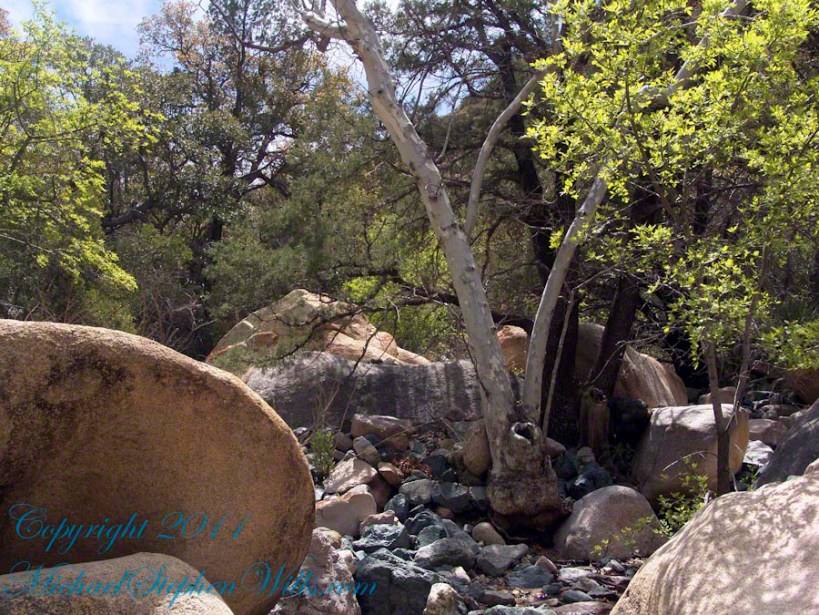
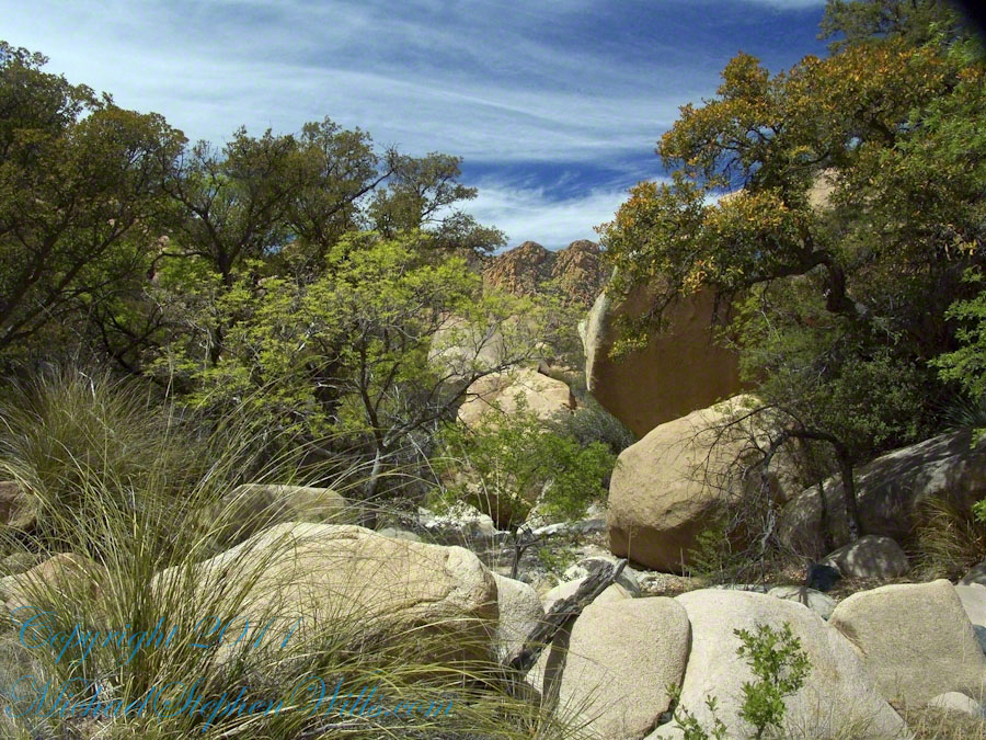
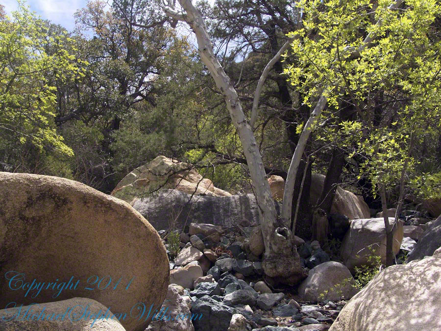
“Idyllic Desert Landscape with Boulders”


Click Me for my OnLine Gallery

“Generations”


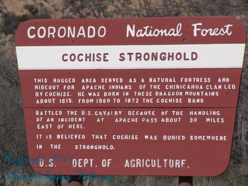
Here is the Cochise Stronghold information sign from the Douglas Ranger District of the Coronado National Forest.

The Dragoon Mountains are a low range that barely rises above the surrounding desert floor. Nevertheless, the granite boulders are spectacular and well worth visiting for the scenery alone. This mountain range is remote from cities or even any large towns, so visitation is light. Late fall, winter, and early spring are the best times to visit. Temperatures exceeding 100 degrees are common even in spring and fall. Cochise Stronghold Campground is closed in June, July, and August due to the often-extreme heat.

Safety First: Heat and low humidity are real hazards for people unfamiliar with desert climates. A person can loose up to 5 quarts of fluid a day and it is easy to become seriously dehydrated without realizing it, so drink plenty of fluids even if you do not feel very thirsty. Always carry extra water in your car. When going on a hike, even if a short one, take a day pack with water, snack foods, protective clothing, flashlight, first aid kit, compass, and map. To avoid sun in

Copyright 2023 Michael Stephen Wills All Rights Reserved

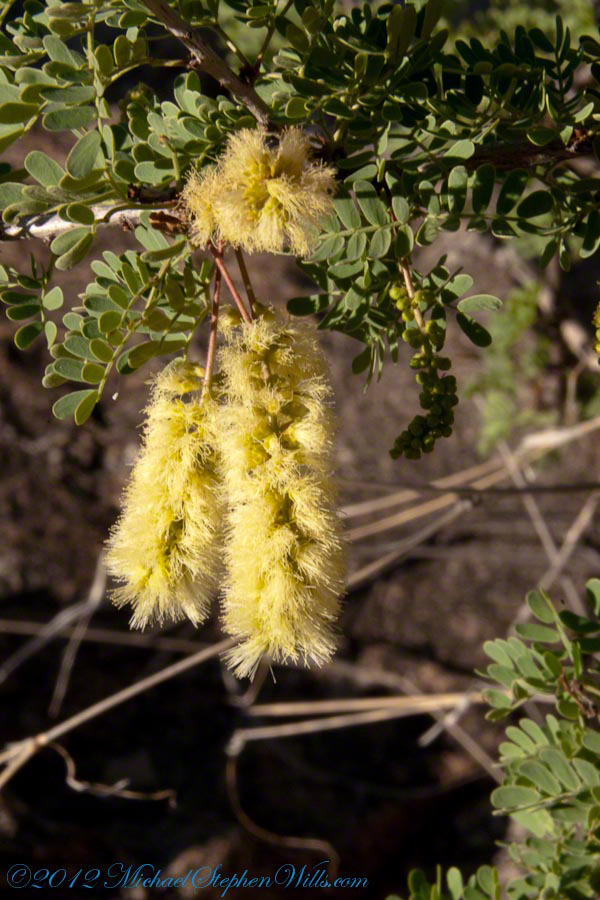
Mesquite Flowers and Seeds

desert survival

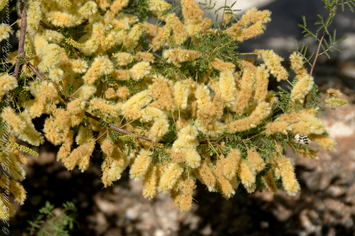
Mesquite is the Sonoran Desert smell carried by distant rain, omnipresent and humble, a survivor with tap root extending 190 feet down to draw on the water table.

Click Me for my Online Gallery

Prosopis is the scientific name for about 40 species of leguminous trees. Present in North America since the Pliocene era, mesquite wood has been dated to 1300 BC.

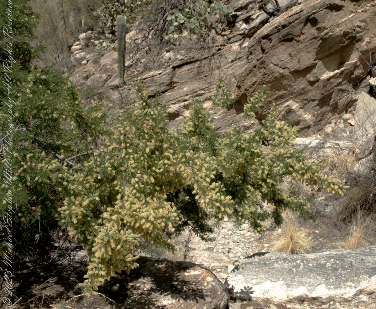
I found this flowering mesquite bush in Finger Rock Canyon of the Catalina Mountains outside Tucson, Arizona.

They are thought to have evolved with megafauna in the New World. The loss of North American megafauna at the end of the Pleistocene era gave way to one theory of how the Prosopis spp. were able to survive.

One theory is that the loss of the megafauna allowed Prosopis spp. to use their fruit pods to attract other organisms to spread their seeds; then, with the introduction of livestock, they were able to spread into grasslands.

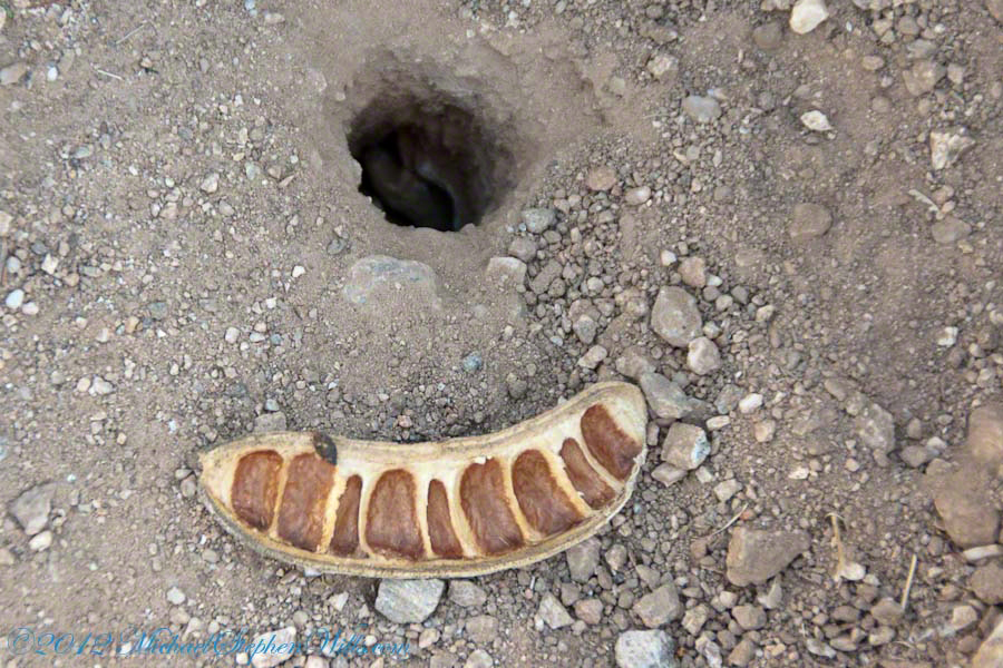
The plentiful legumes that develop from these flowers are edible when cooked. The shape and color of the seeds can be understood from this empty seed pod that happens to lie near a tarantula burrow.

Click me to read more about the uses of mesquite.

References:
“Mesquite,” Wikipedia

Copyright 2023 Michael Stephen Wills All Rights Reserved

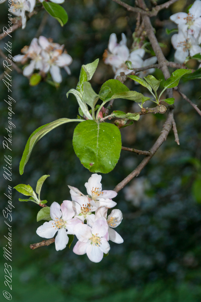
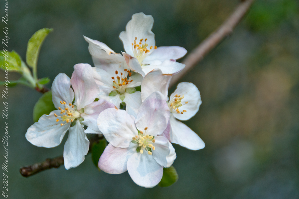
Malloryville Apple Blossoms

A Memory from 2010

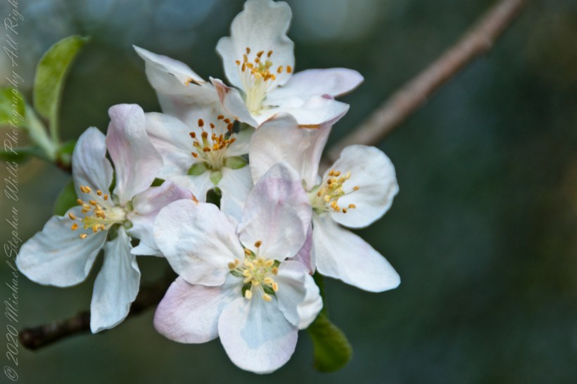
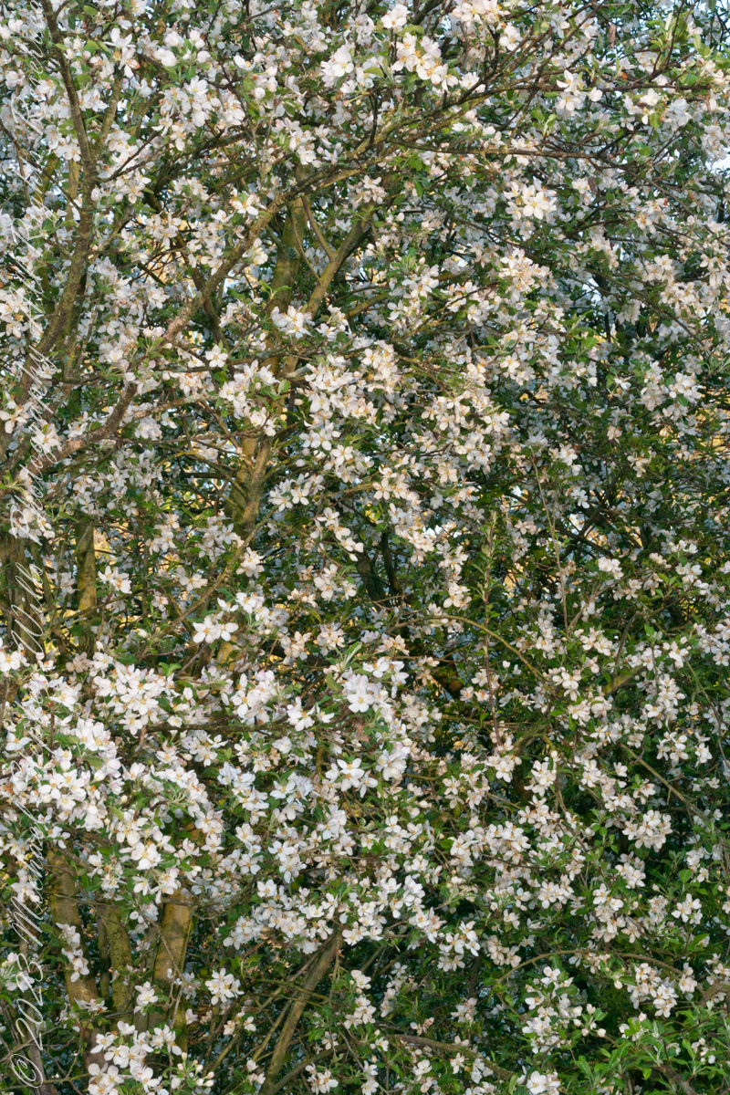
Our home at Malloryville, New York has an orchard of three apple trees, seen here on early one spring morning in the year 2010. The varieties are Delicious, Cortland and McIntosh. Freeville, Tompkins County, New York State

The original wild ancestor of Malus domestica was Malus sieversii, found growing wild in the mountains of Central Asia in southern Kazakhstan, Kyrgyzstan, Tajikistan, and northwestern China. Cultivation of the species, most likely beginning on the forested flanks of the Tian Shan mountains, progressed over a long period of time and permitted secondary introgression of genes from other species into the open-pollinated seeds.

Chinese soft apples, such as M. asiatica and M. prunifolia, have been cultivated as dessert apples for more than 2000 years in China. These are thought to be hybrids between M. baccata and M. sieversii in Kazakhstan.

Among the traits selected for by human growers are size, fruit acidity, color, firmness, and soluble sugar. Unusually for domesticated fruits, the wild M. sieversii origin is only slightly smaller than the modern domesticated apple.

At the Sammardenchia-Cueis site near Udine in Northeastern Italy, seeds from some form of apples have been found in material carbon dated to around 4000 BCE.[20] Genetic analysis has not yet been successfully used to determine whether such ancient apples were wild Malus sylvestris or Malus domesticus containing Malus sieversii ancestry. It is generally also hard to distinguish in the archeological record between foraged wild apples and apple plantations.

There is indirect evidence of apple cultivation in the third millennium BCE in the Middle East. There was substantial apple production in the European classical antiquity, and grafting was certainly known then. Grafting is an essential part of modern domesticated apple production, to be able to propagate the best cultivars; it is unclear when apple tree grafting was invented.

The proverb, “An apple a day keeps the doctor away”, addressing the supposed health benefits of the fruit, has been traced to 19th-century Wales, where the original phrase was “Eat an apple on going to bed, and you’ll keep the doctor from earning his bread”. In the 19th century and early 20th, the phrase evolved to “an apple a day, no doctor to pay” and “an apple a day sends the doctor away”; the phrasing now commonly used was first recorded in 1922.

Reference: Wikipedia “Apple”

Copyright 2023 Michael Stephen Wills All Rights Reserved

Cottonwood Shade in Pima Canyon

The cottonwood’s deep roots draw water from a mountain stream.

Looking back down Pima Canyon on a spring morning plenty of green under the unrelenting sun.

Click me for more Arizona photographs from my online gallery

A large Fremont’s Cottonwood Offers shade and protection along the Pima Canyon Trail.

In the shade, a grapevine, offers a vain promise of grapes.

The cottonwood’s deep roots draw water from a mountain stream.

Native Americans in the Western United States and Mexico used parts of Frémont’s cottonwood variously for a medicine, in basket weaving, for tool making, and for musical instruments. The inner bark of Frémont’s cottonwood contains vitamin C and was chewed as an antiscorbutic – treatment for vitamin C deficiency. The bark and leaves could be used to make poultices to reduce inflammation or to treat wounds.

The Pima people of southern Arizona and northern Mexico lived along Sonoran Desert watercourses and used twigs from the tree in the fine and intricate baskets they wove. The Cahuilla people of southern California used the tree’s wood for tool making, the Pueblo peoples for drums, and the Lower Colorado River Quechan people in ritual cremations. The Hopi of Northeastern Arizona carve the root of the cottonwood to create kachina dolls.

Reference: Wikipedia “Fremont’s Cottonwood.”

Copyright 2023 Michael Stephen Wills

Nature Abstracts from Reavis Falls

Basalt and Water

A Series of Nature Abstracts, macros of Reavis Falls

These are six shots of Reavis Falls from my solo expedition to this location in the remote eastern Superstition Wilderness of Arizona.

All are macro shots of the falls taken with a Canon 100mm f/2.8L lens.

“Reavis Falls Abstract V”

I took these while perched on a pile of talus beneath the falls.

Click Me To learn more about my work and to purchase prints

Reavis Falls Abstract XIV

Reavis Falls are 114 feet high in a canyon hidden in the folds of mountain ridges in the remote eastern Superstition Wilderness of Arizona.

Reavis Falls Abstract VI

Reavis Creek falls from a sheer basalt cliff, remnants of a volcanic eruption, cool a million years ago, a little colder today by this running water.

Reavis Falls Abstract VIII

Reavis Falls Abstract XI

Reavis Falls Abstract XV

Click Me to visit my previous post, “Canyoneering to Reavis Falls” for more of this story.

Copyright 2023 Michael Stephen Wills All Rights Reserved

Canyoneering to Reavis Falls

No signposts in the wilderness

Reaching Reavis Falls, once you find the canyon mouth, is three-fourths of a mile of boulder hopping and bushwacking over and around landslides, deep pools and fallen trees.  Odds are you will be the only person in the canyon for weeks, if not months.  Expect to be surprised. In this chapter you will (finally) visit the falls themselves.

A Camp in the Canyon

Click me for the chapter about the environment around the mouth of Reavis Canyon below the falls.

The Last Mile

Here is an overview of the last third mile of Reavis Canyon.  You can see the wall of the falls nestled in the folds of ridges towards the top, just off center.

On the lower right is a large landslide and, below there, it is complete chaos.

The vegetation grows shoulder to shoulder with interleaved branches.  You will not get through there.  The solution is to find a way around, usually over and around house-sized boulders.

The image was captured from Google Earth


After almost two hours of picking my way, there was a flicker of light.  The fall waters were sparkling in the sunlight high above the cottonwood trees, in full Mach bloom, and the still leafless Arizona Sycamores.

This was my view of Reavis Falls from the canyon on a March day before the Arizona Sycamores have leaved. The falls are the tiny patch of white to the left of midline where the earth meets the sky. Jumbles of infallen boulders and thick growth of sycamores, oaks and fully leaved cottonwoods cloak the falls.

Another 30 minutes of canyoneering brought me to the foot of the falls.

At the Foot of Reavis Falls

Looking up at Reavis Falls from a 20 foot tall mound of talus.

These are boulders  washed down at flood time.

The rock wall is thick with microorganisms, fungi and mosses.

After clambering around the talus pile I found this angle….

An Arizona Sycamore, before the spring leafing, at the Foot of Reavis Falls

Talus at the Foot of Reavis Falls

The Reavis Falls talus is large boulders carried down Reavis Creek and washed over the falls at flood time as well as blocks fractured from the cliff face.  You can see the base of the Sycamore from the previous photograph.

The falls are formed where Reavis Creek flows over a solid mass of rock.  The talus is composed mostly of this red rock.  From the edge of this cliff to the base, where the falls hit the canyon floor, is all of 140 feet.  This is a far as you can proceed into the canyon without some serious climbing skills.

It is possible to climb around the canyon by climbing up the ridge from which I captured the Cedar Basin Hoodoos.  See my posts below for this location (you need to work it our for yourself).

This is NOT the last post of the series.  From here I will focus on the beauty of Reavis Falls and the canyon that holds them.

It was a four-day expedition so there are a few chapters covering the approach to the Falls:

Lime Mountain Morning

Two Bar Mountain View

Evening on Two Bar Mountain

Among the desert wildflowers

Superstition Wilderness Dawn

Dry Juniper Descent

Hoodoos on the Descent to Reavis Falls

Cedar Basin Hoodoos

Reavis Canyon Camp

Reavis Canyon Rivulets and Rocks

Copyright 2023 Michael Stephen Wills All Rights Reserved

Reavis Canyon Rivulets and Rocks

Canyon of Wonder and Beauty

Born from Eruption and Flood

The Superstition Wilderness was born from volcanic eruption and in some places (Peters Mesa) the earth still rumbles.

Here in Reavis Canyon it is the huge spring runoff that builds the environment, grinding and scouring the canyon. In my chapter The Mouth of Reavis Canyon is the story of this aspect of the canyon.

The history of this spot is written on these volcanic and igneous rocks and boulders, the uprooted tree roots and fresh water.

The tire must have washed down from Reavis Ranch.

A Canyon of Wonder and Beauty

In this chapter I present, in the header, the lovely dawn sky of that day, and a tiny corner of a rock jumble in Reavis Creek.   There is a large format version of the sky in my previous post, “The Mouth of Reavis Canyon.”

Rivulets and Rocks

Copyright 2023 Michael Stephen Wills All Rights Reserved

The Mouth of Reavis Canyon

Canyon Hazards and Beauty

In this chapter we enter the Mouth of Reavis Canyon below Reavis Falls and examine the beauty and danger of this remote canyon.

See Reavis Canyon Camp for more of my expedition to Reavis Falls.

Dawn on the day I entered Reavis Canyon

Dawn light above the outline of the prominent cliff above Reavis Canyon and Falls the morning of my last day in the canyon.

You might recognize the outline of this cliff from the chapter  Two Bar Mountain View or Evening on Two Bar Mountain.

Here is the same view, in daylight. As I hiked toward the canyon mouth below Reavis Falls, looking up I saw this prominant cliff against the sky.

Here is the path I took toward the falls.  The campsite is to the lower right, the falls are toward the center and left.  My approach to the camp is on the right, moving toward the top.  For another view of this location see Reavis Canyon Camp.

The mouth of Reavis Canyon below the falls is choked with vegetation and infallen rocks and boulders.  The far slopes are thick with the poles of young saguaros. There are hoodoos, as well.  In the photograph, below, one hoodoo is catching morning light.  See the chapters Hoodoos on the Descent to Reavis Falls and Cedar Basin Hoodoos for more views of the hoodoos around Reavis Falls.

Hoodoos visible from the mouth of Reavis Canyon below the falls. Look toward the far slope.

Flood damage in Reavis Canyon below the falls. Note the scouring at the base of these trees and the broken limbs. This is NOT a place to be in spring thaw.

Massive spring flooding scours the canyon floor.

Flood damage in Reavis Canyon below the falls.

There is beauty to be found, as well. Freshly fallen rough rocks contrast with water smoothed boulders and the water surface.

Copyright 2023 Michael Stephen Wills All Rights Reserved