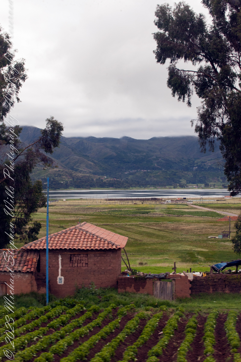
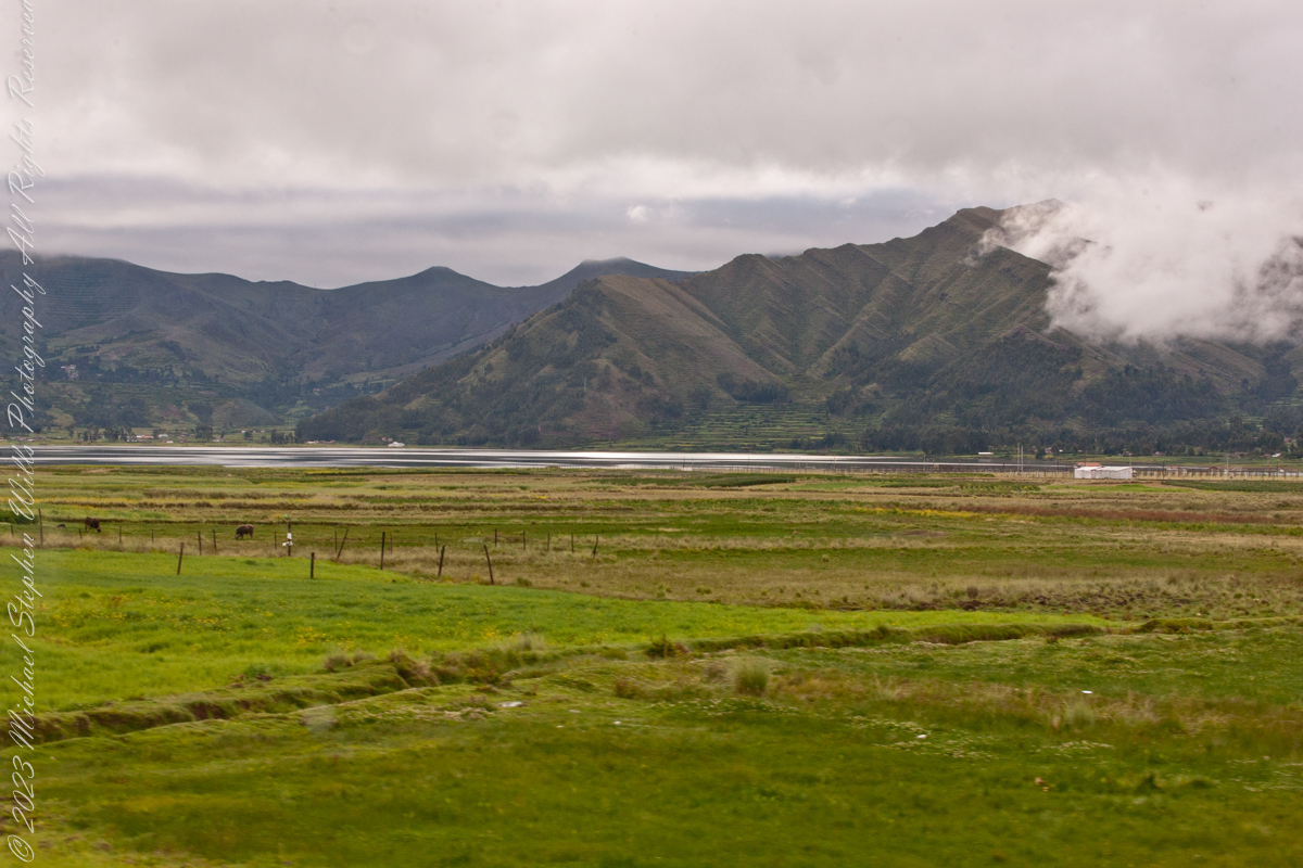
As seen from Avenue del EjércitoIts near Chinchero, Peru. Lagoon waters lap the distant, terraced andean foothills, look closely to see fish drying racks on the near shore, 11,270 feet altitude. Here, water boils at 191 degrees Fahrenheit, not 212.
Puray comes from an ancient legend narrated by the settlers, where, the Sun god asked Manco Capac that his twin sons accompany him in his sunset and when the time came, they discovered that the son who walked farther had become the Huaypo (Huaypo) Lagoon (9 miles west) and the daughter in the Piuray (Puray) Lagoon.
In this photograph, distant cattle graze against backdrop of the lagoon and andean foothills.
Puray lagoon is located in the upper part of the Sacred Valley of the Incas, southeast of Chinchero and 19 miles northwest of Cusco. The Piuray (Puray) Lagoon is a source of water of surface origin. It is one of the most important sources of the city of Cusco, as it supplies 42% of drinking water in the city as well as the Sacred Valley of the Incas and other provinces of the region. It was the Incas who carried Piuray (Puray) Lagoon water to the imperial city (Cusco) through underground aqueducts. Quechua natural region, Peru
Copyright 2023 Michael Stephen Wills All Rights Reserved
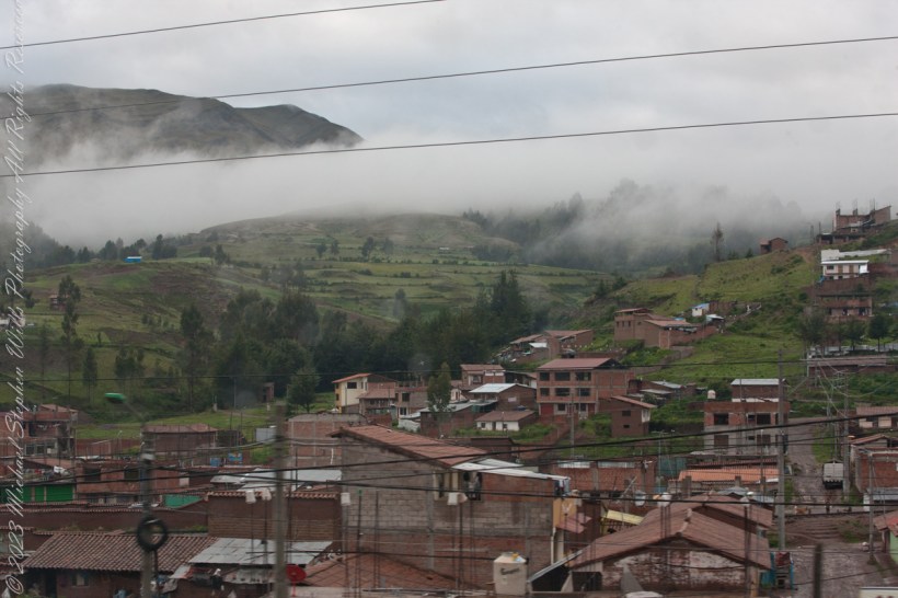
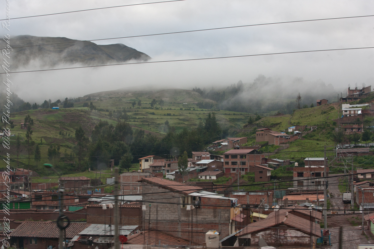
Here we are, passing the outskirts in the hills surrounding Cusco, Peru. Route 3S, going under various names. Highland Road (North) (Longitudinal de la Sierra Norte)Highway, climbs out of Cusco in broad switchbacks.
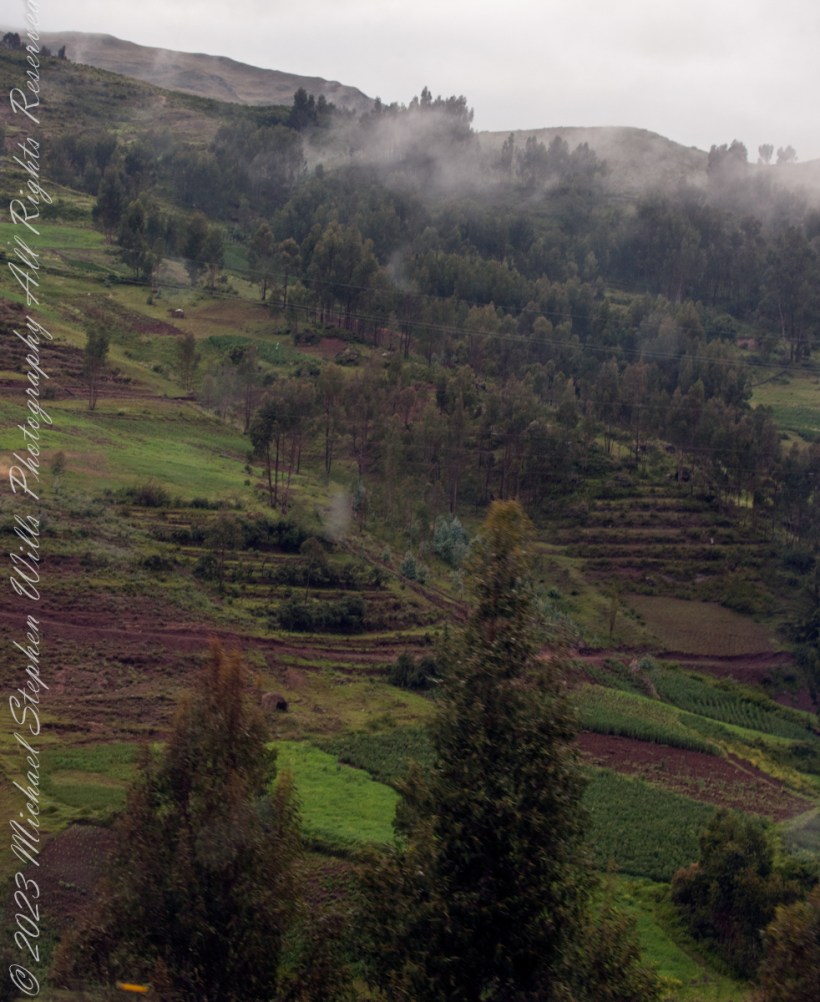
View of terraced fields from route 3S through the hills above Cusco, Peru. “In the South American Andes, farmers have used terraces, known as andenes, for over a thousand years to farm potatoes, maize, and other native crops.“
“Terraced farming was developed by the Wari culture and other peoples of the south-central Andes before 1000 AD, centuries before they were used by the Inca, who adopted them. The terraces were built to make the most efficient use of shallow soil and to enable irrigation of crops by allowing runoff to occur through the outlet. The Inca people built on these, developing a system of canals, aqueducts, and puquios to direct water through dry land and increase fertility levels and growth. These terraced farms are found wherever mountain villages have existed in the Andes. They provided the food necessary to support the populations of great Inca cities and religious centers such as Machu Picchu.“
Reference: “Terrace (earthworks)” Wikipedia
Copyright 2023 Michael Stephen Wills All Rights Reserved
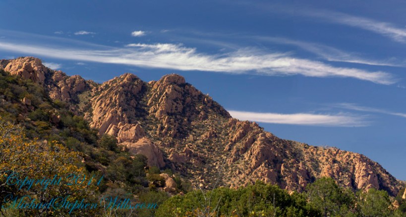
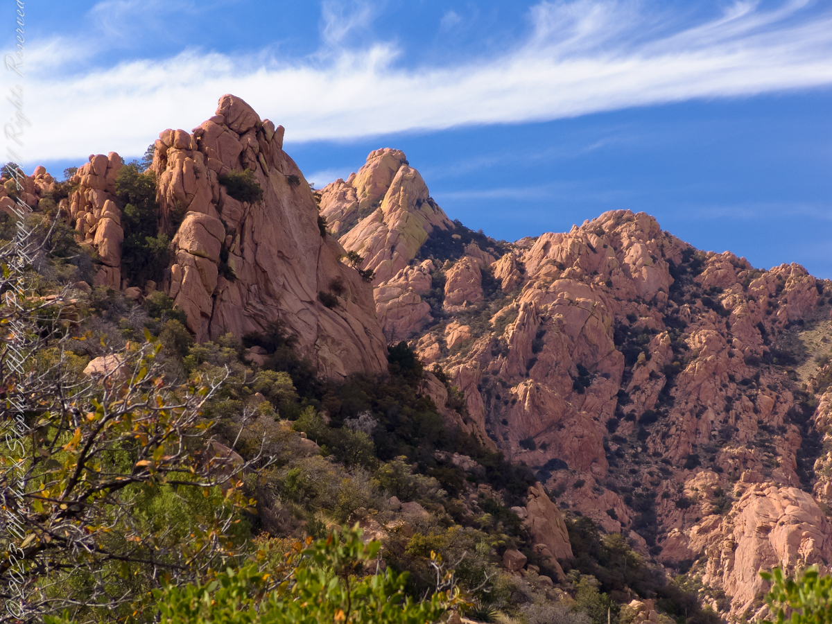
Dragoon Mountains of southeastern Arizona are named, not for the resemblance of this ridge to the back of a Dragon, but for a type of soldier trained for horseback riding and infantry. These were the U.S. troops sent to “pacify” the Chiricahua Apache homeland.
Understanding location lighting is a matter of experience and luck.
Cochise Stronghold campsites are on the eastern slope of the Dragoons, sheltering them from the late afternoon sun.
One this day in April I explored the trails until sunset and was lucky enough to be setup for the 14 minutes of that day when the light was absolutely perfect.
Copyright 2023 Michael Stephen Wills All Rights Reserved
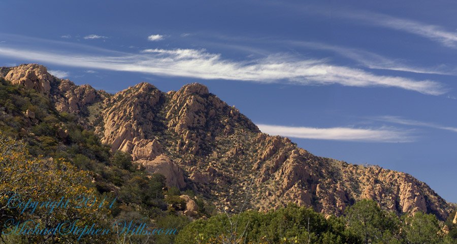
Understanding location lighting is a matter of experience and luck.
Cochise Stronghold campsites are on the eastern slope of the Dragoons, sheltering them from the late afternoon sun.
One this day in April I explored the trails until sunset and was lucky enough to be setup for the 14 minutes of that day when the light was absolutely perfect.
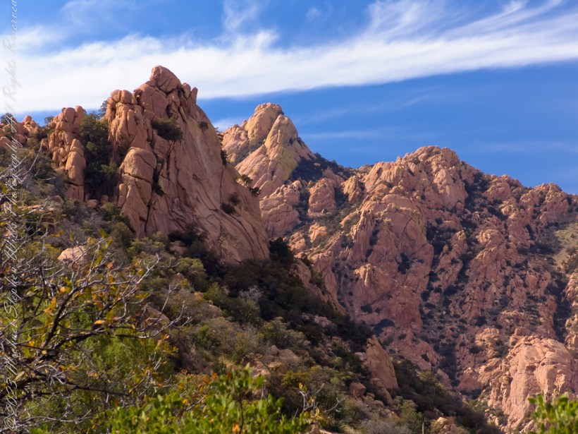
“Dragoon Spires in Afternoon Light”
These photographs are from two days spent at Cochise Stronghold, a part of the U.S. Forest Service Coronado Forest managed by Arizona State Parks located off the Interstate 10 East of Tucson between Benson and Wilcox.
This rugged natural fortress was, for some 15 years, the home and base of operations for the famed Chiricahua Apache Chief, Cochise. Cochise and about 1,000 of his followers, of whom some 250 were warriors, located here.
Born in present-day Arizona, Cochise led the Chiricahua band of the Apache tribe during a period of violent social upheaval. In 1850, the United States took control over the territory that today comprises Arizona and New Mexico. Not hostile to the whites at first, he kept peace with the Anglo-Americans until 1861, when he became their implacable foe because of the blunder of a young U.S. Army officer, Lt. George Bascom. In that year, Cochise and several of his relatives had gone to an encampment of soldiers in order to deny the accusation that they had abducted a child from a ranch. The boy was later proved to have been kidnapped by another band of Apaches.
During the parley, Cochise and his followers were ordered held as hostages by Bascom, but Cochise managed to escape almost immediately by cutting a hole in a tent. Bascom later ordered the other Apache hostages hanged, and the embittered Cochise joined forces with Mangas Coloradas, his father-in-law, in a guerrilla struggle against the American army and settlers. The capture and murder of Mangas Coloradas in 1863 left Cochise as the Apache war chief. The U.S. Army captured him in 1871 and prepared to transfer the Chiricahua to a reservation hundreds of miles away, but he escaped again and renewed the resistance campaign. The following year after negotiating a new treaty with the help of Thomas Jeffords, the band was allowed to stay in their homeland.
Cochise is reputed to have been a master strategist and leader who was never conquered in battle. He died peacefully on the newly formed Chiricahua reservation in 1874. His son, Taza succeeded him as chief. Upon his death, he was secretly buried somewhere in or near his impregnable fortress. The exact location has never been revealed or determined.
The town of Cochise, Cochise County, the renowned geological feature known as Cochise’s Head in the Chiricahua Mountains, and the Stronghold are all named in tribute to him.
Copyright 2023 Michael Stephen Wills All Rights Reserved
These photographs are from two days spent at Cochise Stronghold, a part of the U.S. Forest Service Coronado Forest managed by Arizona State Parks located off the Interstate 10 East of Tucson between Benson and Wilcox.
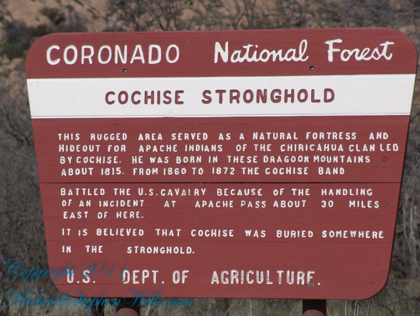
Here is the Cochise Stronghold information sign from the Douglas Ranger District of the Coronado National Forest.
The Dragoon Mountains are a low range that barely rises above the surrounding desert floor. Nevertheless, the granite boulders are spectacular and well worth visiting for the scenery alone. This mountain range is remote from cities or even any large towns, so visitation is light. Late fall, winter, and early spring are the best times to visit. Temperatures exceeding 100 degrees are common even in spring and fall. Cochise Stronghold Campground is closed in June, July, and August due to the often-extreme heat.
Safety First: Heat and low humidity are real hazards for people unfamiliar with desert climates. A person can loose up to 5 quarts of fluid a day and it is easy to become seriously dehydrated without realizing it, so drink plenty of fluids even if you do not feel very thirsty. Always carry extra water in your car. When going on a hike, even if a short one, take a day pack with water, snack foods, protective clothing, flashlight, first aid kit, compass, and map. To avoid sun in
Copyright 2023 Michael Stephen Wills All Rights Reserved
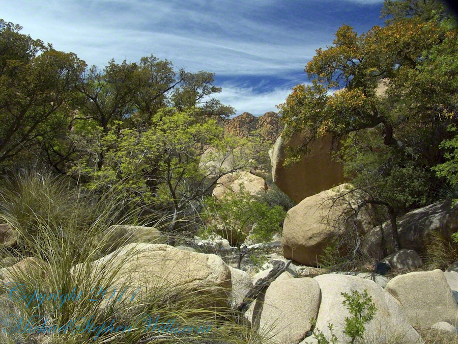
Interstate 10 between Benson and Wilcox ascends through a field of enormous, eroded granite boulders. Off to the west are the Dragoon Mountains, otherwise known as “Cochise Stronghold.”
Informative sign at campsite
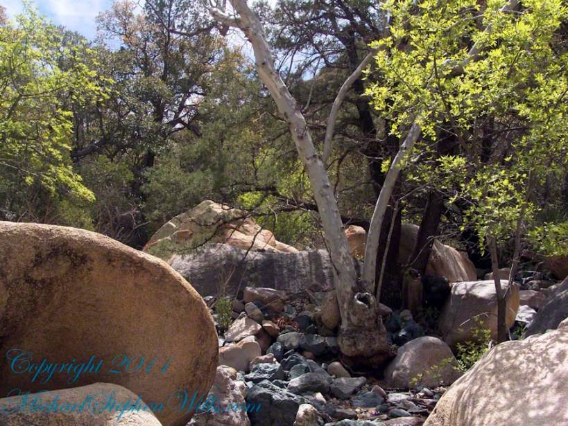
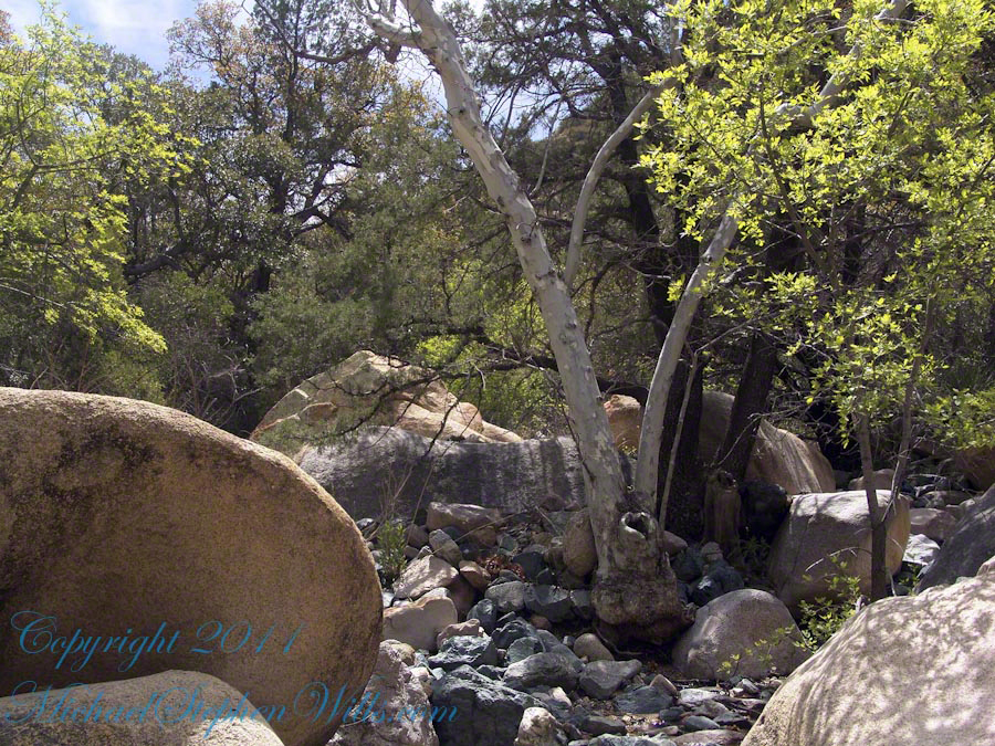
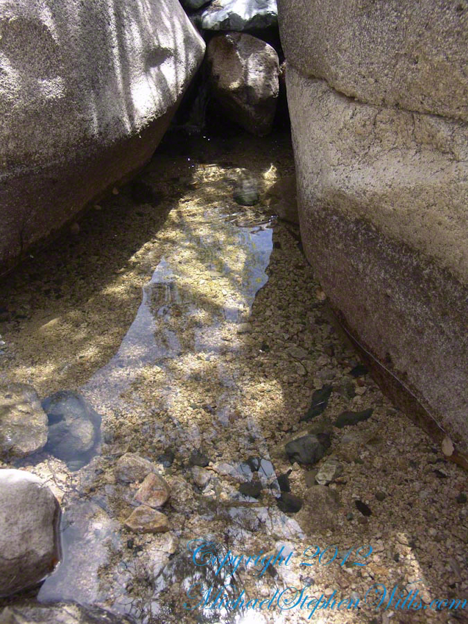
Starting from the campsite is the “Sky Islands Traverse” hiking trail, leading up into the mountains. I wandered from the trail to follow a dry streambed to this residual pool of water, the time being early spring, and this is what remained from the winter rains.
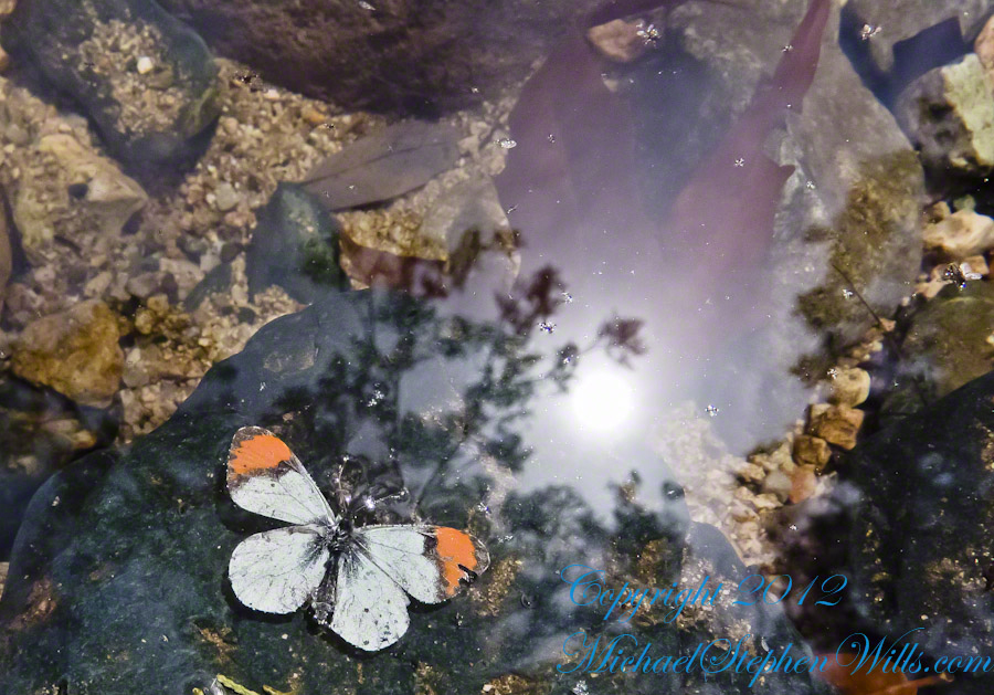
A single butterfly of the genus Anthocharis generally called “Orangetip” for the colorful upper wing tips. These exist throughout the world, here in Arizona they migrate across the desert, obtaining refuge and nourishment from “Sky Islands” such as the Dragoon Mountains
Copyright 2022 Michael Stephen Wills All Rights Reserved
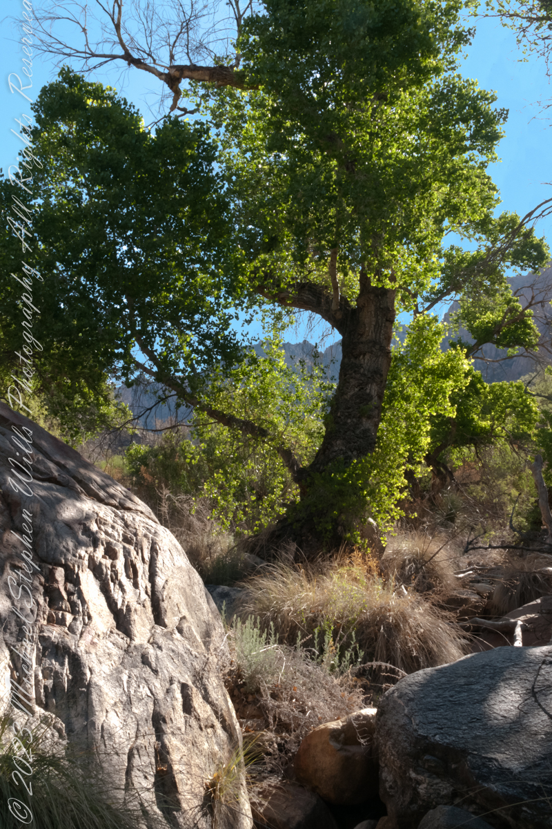
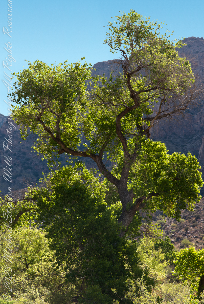
A large Fremont’s Cottonwood Offers shade and protection along the Pima Canyon Trail.
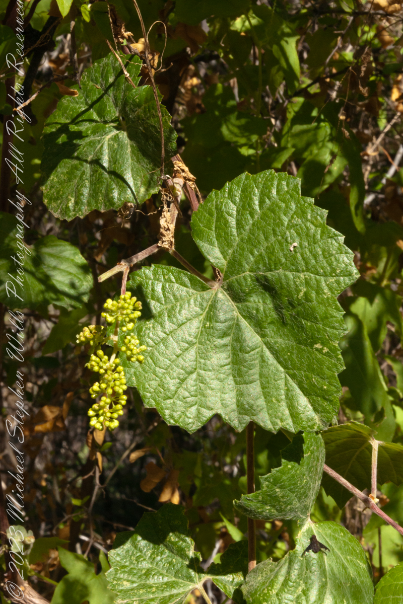
In the shade, a grapevine, offers a vain promise of grapes.
The cottonwood’s deep roots draw water from a mountain stream.
Native Americans in the Western United States and Mexico used parts of Frémont’s cottonwood variously for a medicine, in basket weaving, for tool making, and for musical instruments. The inner bark of Frémont’s cottonwood contains vitamin C and was chewed as an antiscorbutic – treatment for vitamin C deficiency. The bark and leaves could be used to make poultices to reduce inflammation or to treat wounds.
The Pima people of southern Arizona and northern Mexico lived along Sonoran Desert watercourses and used twigs from the tree in the fine and intricate baskets they wove. The Cahuilla people of southern California used the tree’s wood for tool making, the Pueblo peoples for drums, and the Lower Colorado River Quechan people in ritual cremations. The Hopi of Northeastern Arizona carve the root of the cottonwood to create kachina dolls.
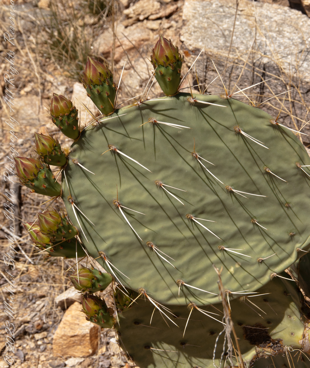
Here are 8 flower bud growing from one cladode (pad). There is a 9th bud on a second cladode. What is interesting about these pads are the needle shadows. Although thin, each provides some protection from the sun.
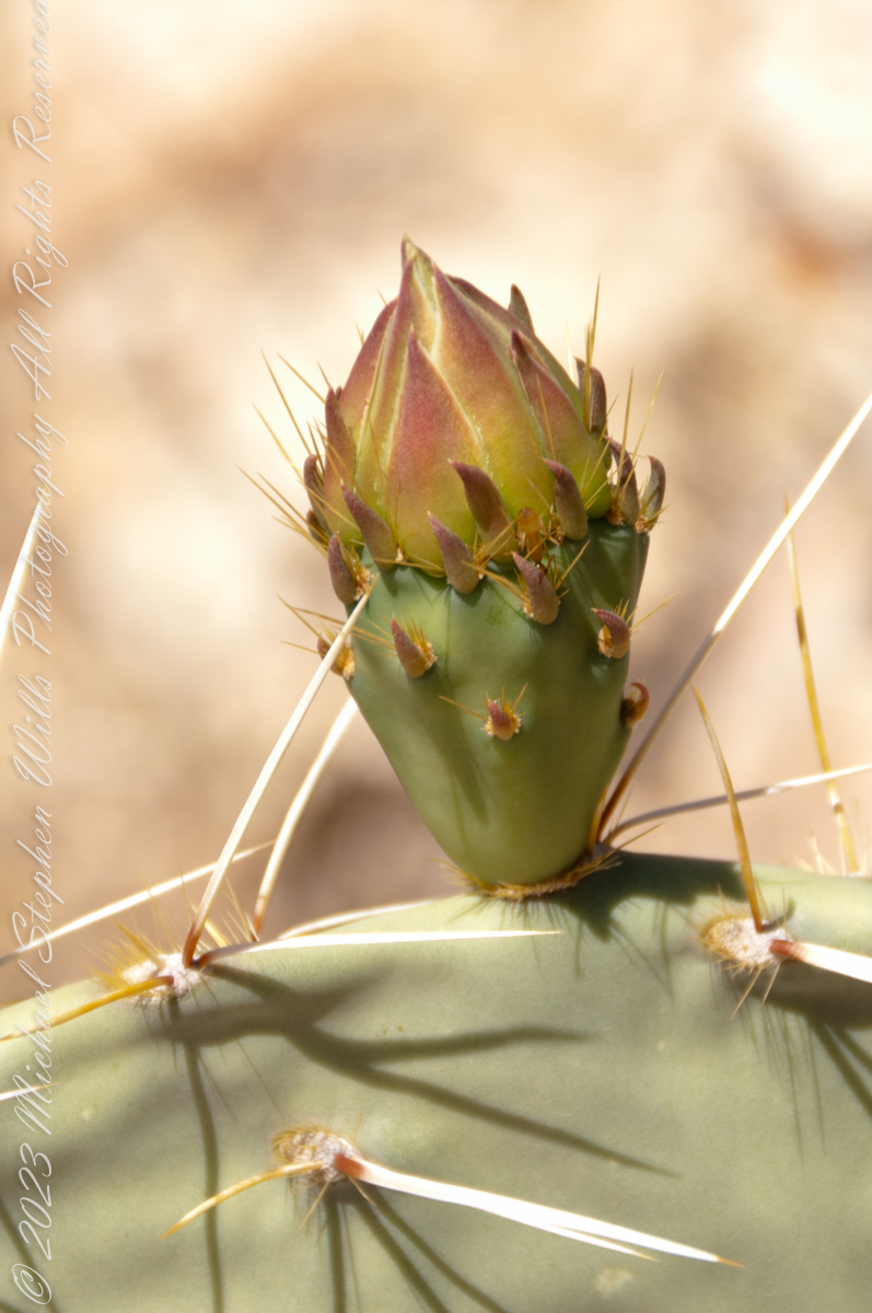
Cactus Closeup
This delicate bud will develop into a flower and, then, into a cactus fruit (in spanish, tuna). The fruit retains those tiny spines, called glochids, which detach on the smallest contact. The pads are also covered with them.
Prickly pears are known for growing into thickets. The Cuban government created a “cactus curtain” of prickly pears around the Guantanamo naval base in the 1960’s, to prevent Cubans from escaping to refuge in the United States.
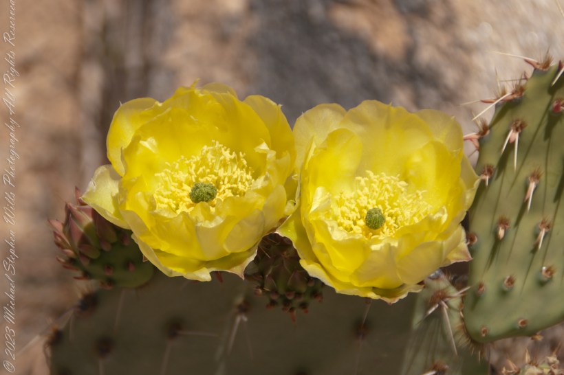
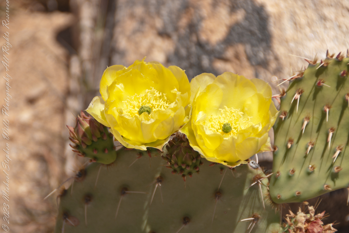
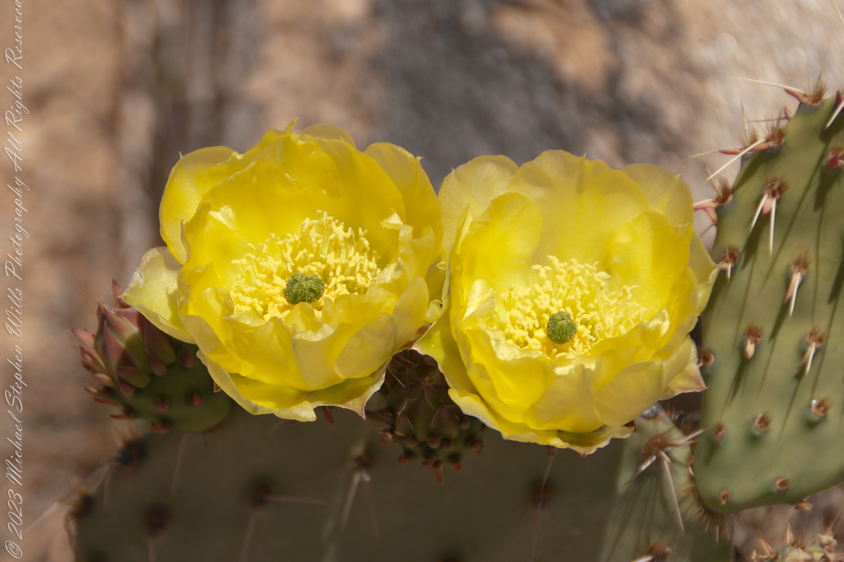
Cactus Flowers
Look closely at the anthers of these flowers. Each curls over when touched, depositing its pollen. The habit of prickly pears to grow together in thickets mean there are clusters of blossoms in springtime.
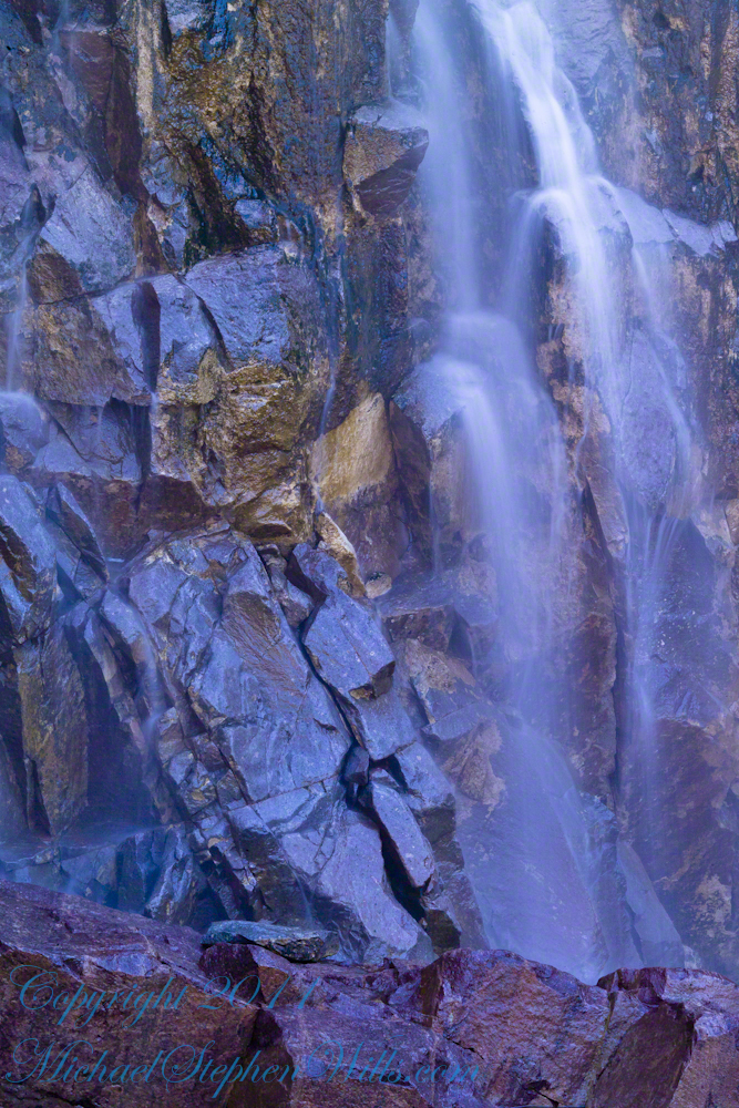
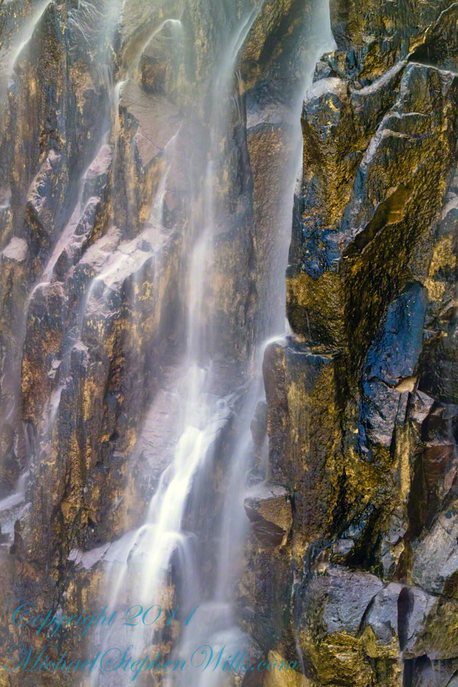
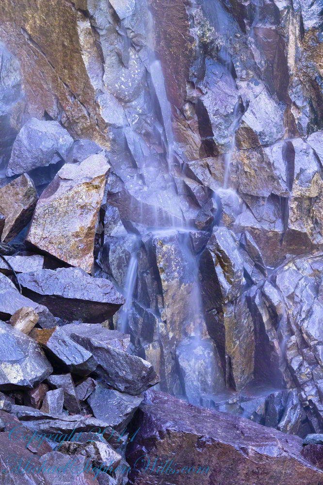
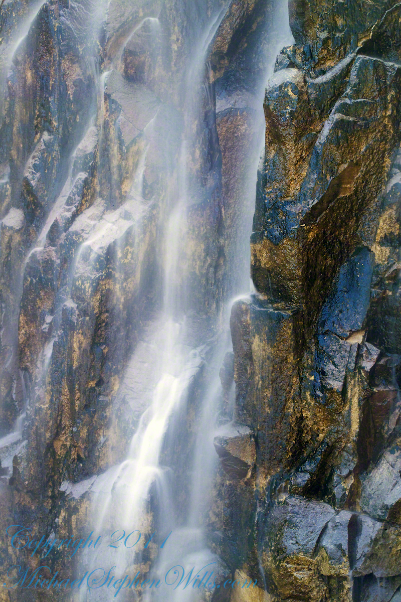
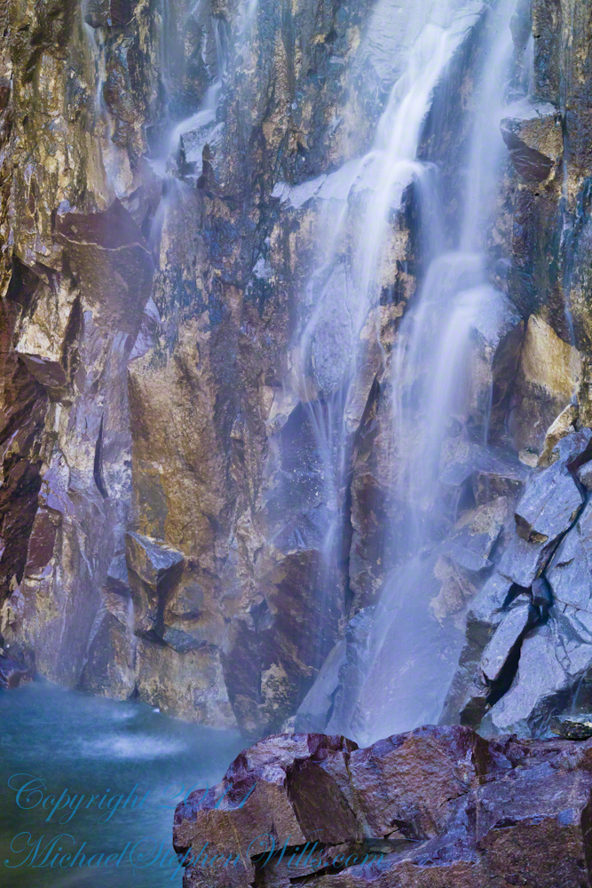
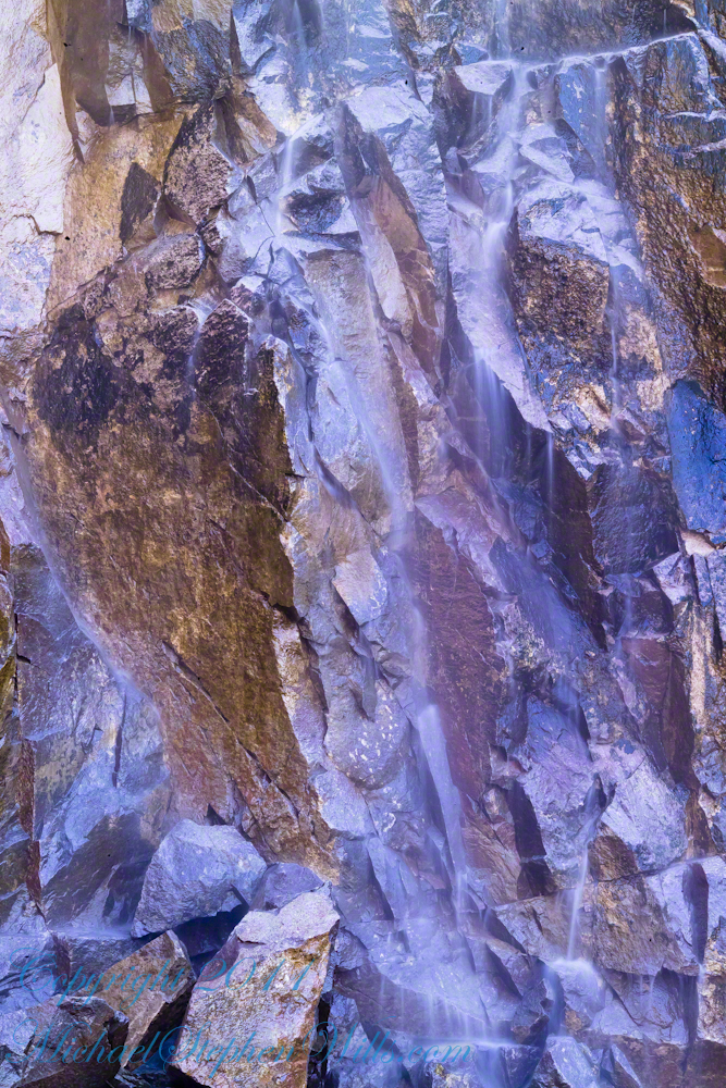
The canyon below 110 foot Reavis Falls is a wild place of transcendent beauty.
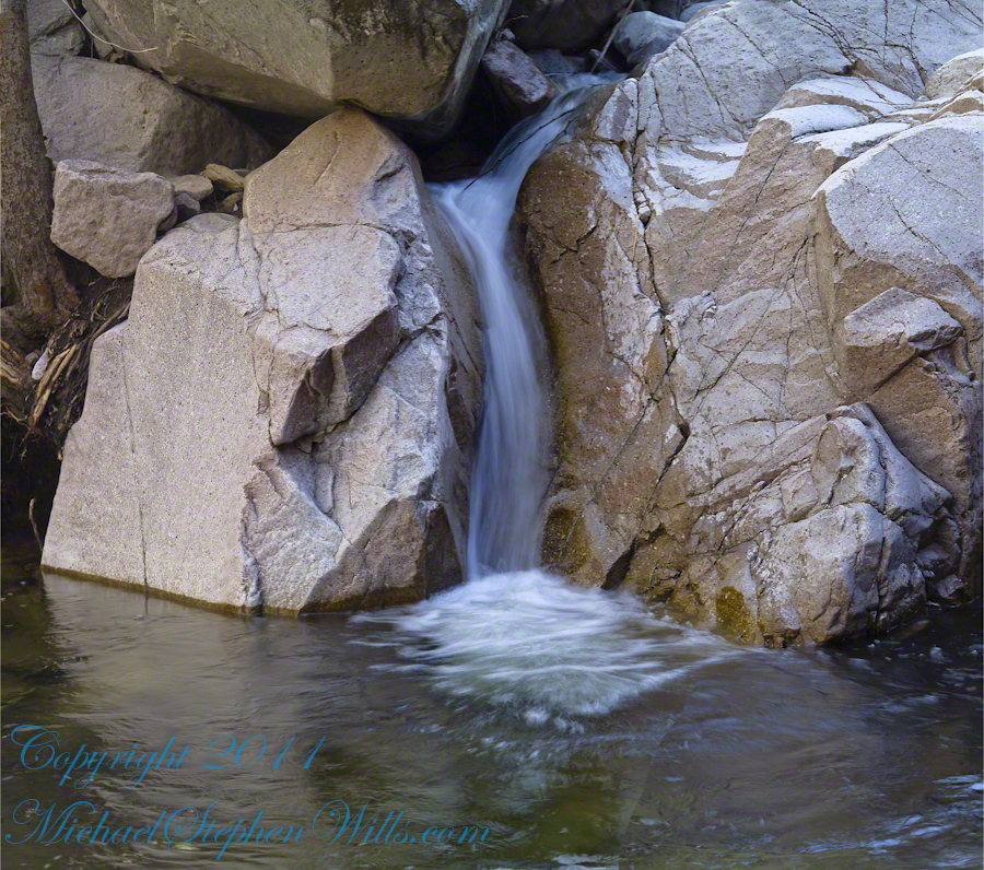
With the afternoon in front of me, the trip back to camp was a slow pleasure. On the way in, I noted several stopping points to capture photographs. Here a natural rock sluice offers a foot tall waterfall, mirroring Reavis Falls, bracketed by white igneous stone.
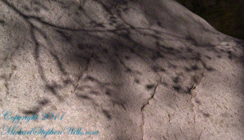
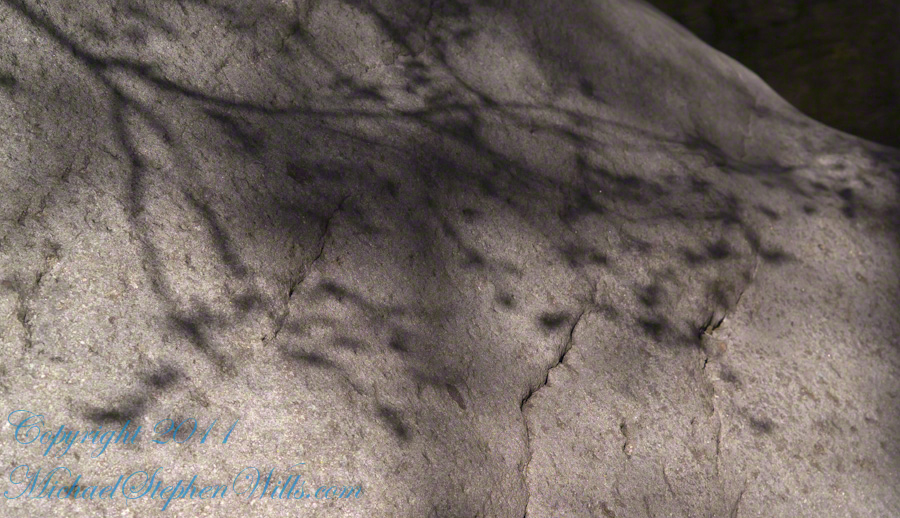
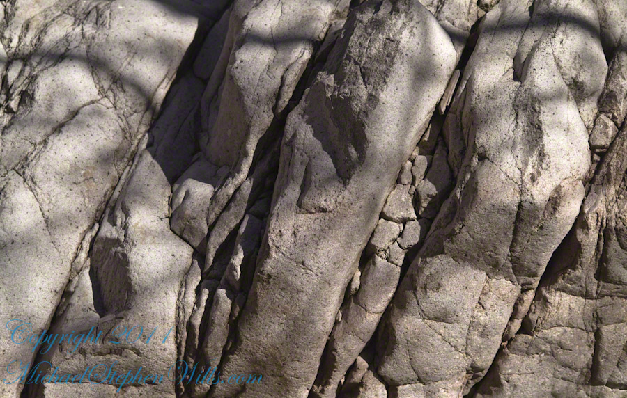
This same stone offers a screen, the bright spring sun throwing the sparse leaves into sharp relief.