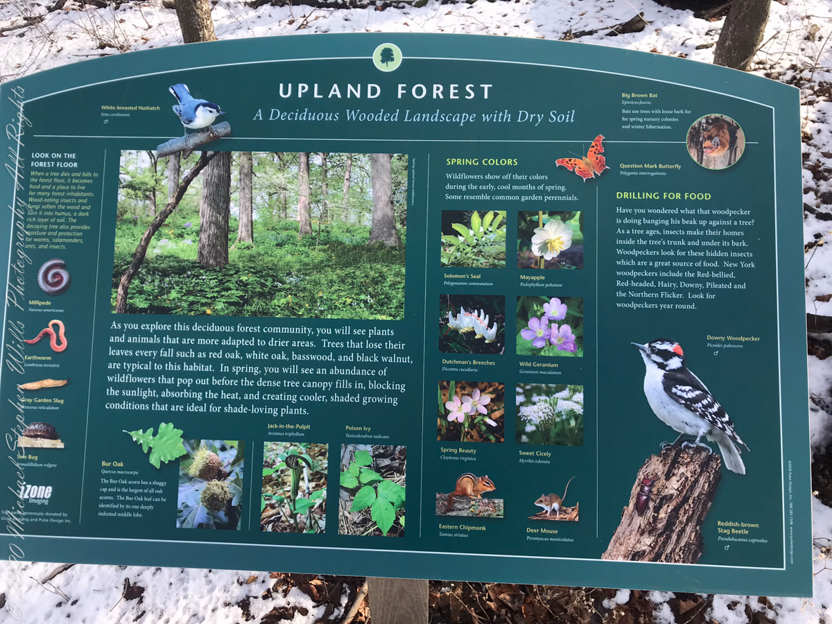
A Taste of Gatsby: details from the Vanderbilt Museum

a spring day on the former gold coast of Long Island

Fountain FigureA Taste of Gatsby

The first weekend of May 2013 my wife, Pam, and I attended a New York City Ballet performance on Saturday. Sunday we visited the Vanderbilt Museum of Centerport, Long Island.

This is the former “Eagles Nest” estate of William (“Willie”) Kissam Vanderbilt II.

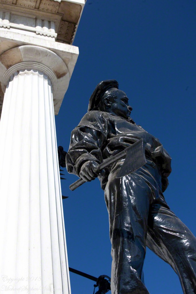
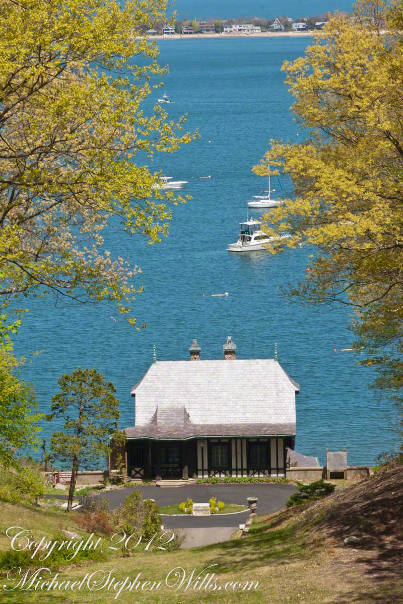
Museum visitors are first drawn to a grand Corinthian colonnade and view of this boathouse on Northport Harbor.

Click this link for my OnLine Photography Galleries
Boat House

Vanderbilt and Gatsby

Willie K chose Centerport in 1910 for an anchorage on the well protected Northport Harbor, deep enough to his yacht the size of a destroyer class ship named for his mother, Alva.
The estate grounds are high above the harbor, the mansion and gardens designed to enhance the view.

There are superficial parallels between Willie K’s life and “The Great Gatsby.” The first suburban commuter, Willie K was an auto enthusiast. A theme of F. Scott Fitzgerald’s novel “The Great Gatsby” is travel back and forth from New York City to the great estates on Long Island’s North Shore. In Gatsby, while the vehicles are grand, the travel is pointless or worse. In comparison, Willie K as a pioneering automobile racer, achieved a land speed record and founded a major race, “The Vanderbilt Cup.” Gatsby, above and beyond his fictional status, is a tenuous, transient figure. Vanderbilt established this estate, grounds and museums we still enjoy today.
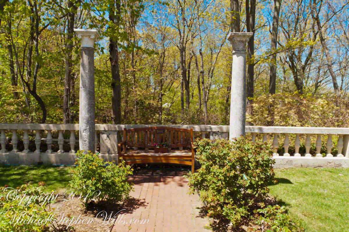
Rose Garden

A short walk from the colonnade is a rose garden surrounding a pool and fountain. These Corinthian columns sized to a human scale flank a dedication bench on the northern side overlooking the boathouse through a hillside forest.

Click this link for my OnLine Photography Galleries
Rose Garden Bench

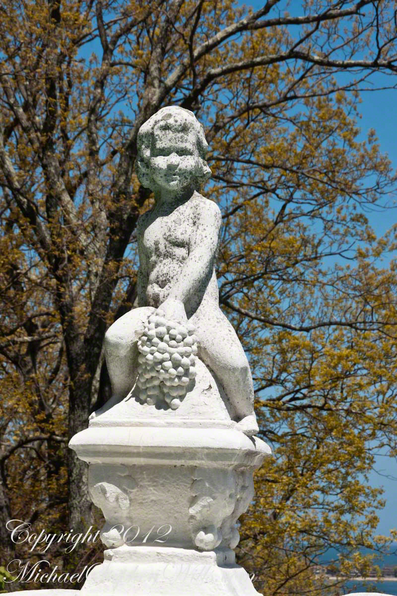
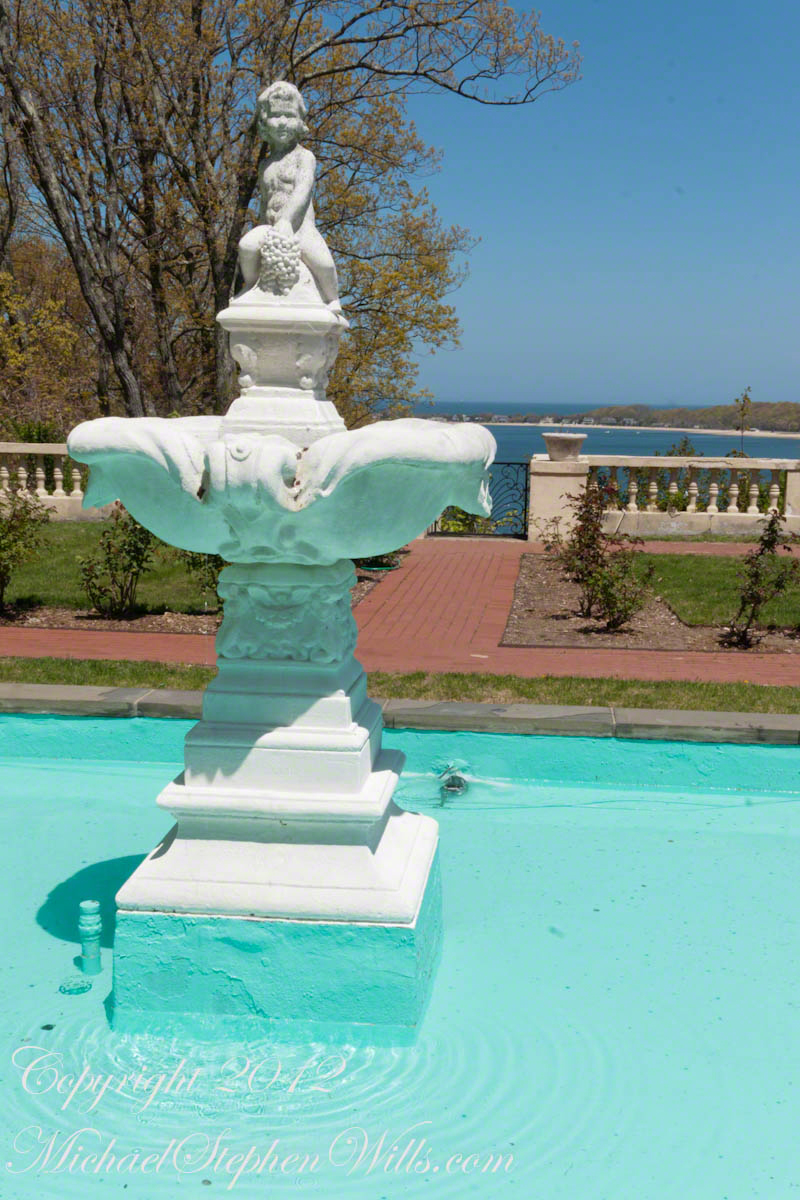
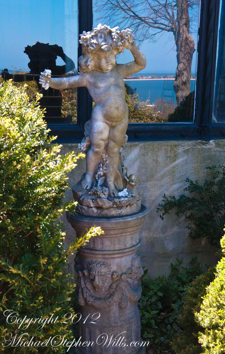
Spirit of the Mediterranean

This figure of a flourishing infant is atop the rose garden fountain. Pam and I first noticed this character of the Eagles Nest estate here, with his abundant grape cluster, and came to know him as an expression of Willie’s outlook.

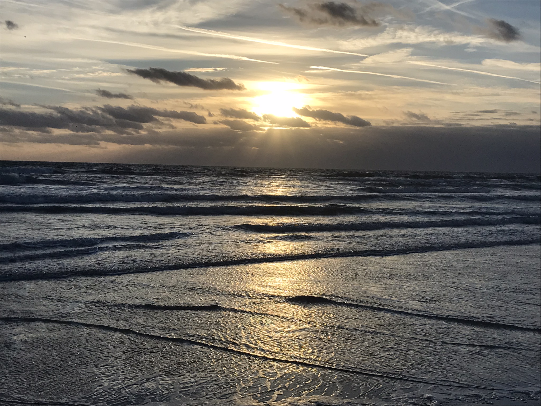
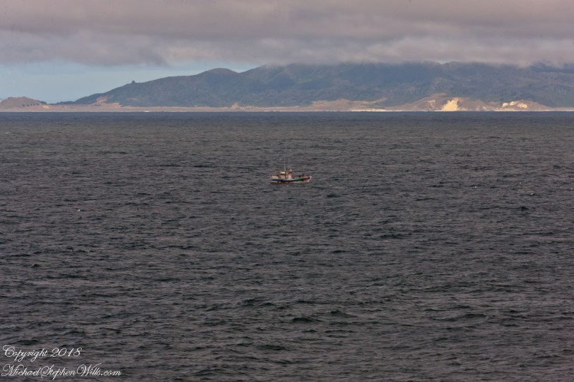
To the northeast / east is a dramatic view of Northport harbor and the Long Island Sound.

Click this link for my OnLine Photography Galleries
Rose Garden Fountain

The mansion and surrounding grounds were imagined by Willie and implemented by the architects Warren, Wetmore and Pearce, over a twenty five year building campaign, from his feeling for the Mediterranean.

Click this link for my OnLine Photography Galleries
Museum Garden Statue

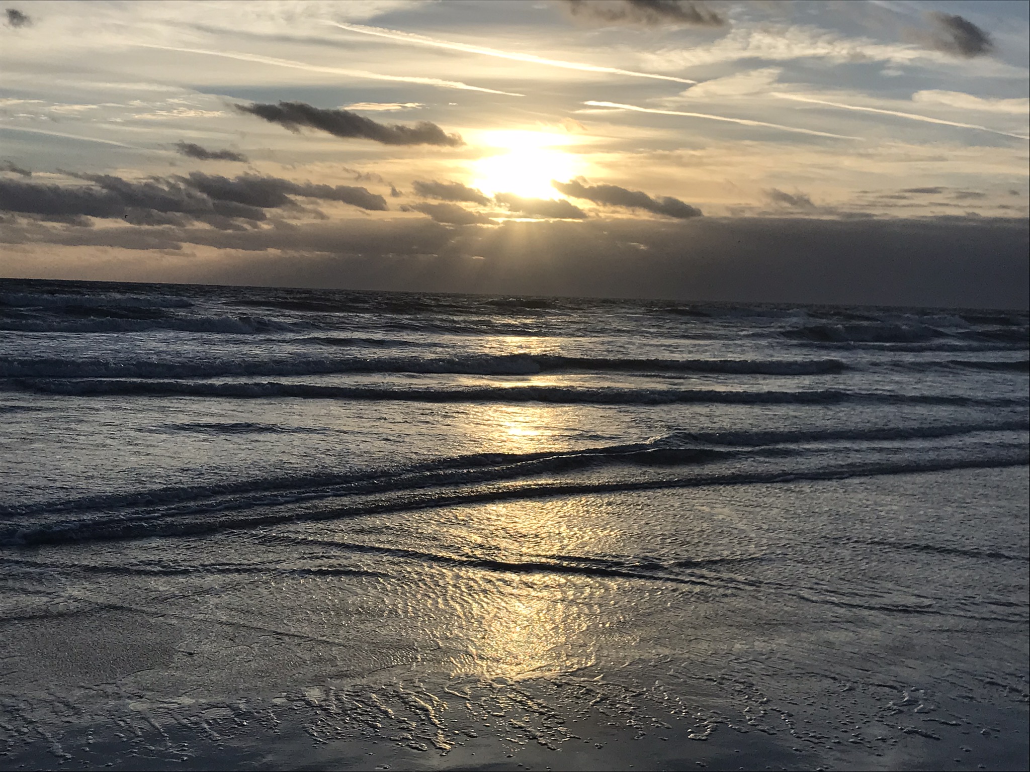
We were gifted with weather that evoked the full expression of the Mediterranean spirit.

Copyright 2022 All Rights Reserved Michael Stephen Wills

A Day in a Life

“An early-morning walk is a blessing for the whole day.” Henry David Thoreau

Images saved from this winter day of beachcombing and exploring around Cocoa Beach, Brevard County, Florida

Sunrise

The Day Taking Shape

Beach Wandering

Kite Boarding

Beauty in Motion I

Beauty in Motion 2

Beauty in Motion 3

Manatee Park Wildlife

Biplane

I saved this to share with the grandchildren

Copyright 2022 Michael Stephen Wills All Rights Reserved

Brock-Harvey Forest Preserve

first look

On September 14, 2013, the Bock-Harvey Forest Preserve was dedicated protecting 48 acrea of open meadow, transitional meadow, mixed hardwood forest, a special environmental protection zone and the Finger Lakes Trail.  Brock-Harvey Forest Preserve, and all land as far as the eye can see from there, was part of the Military Tract of Central New York, 28 townships given classical Greek and Roman names, each township 100 lots of 600 acres each, approved by the U.S. Congress 1799.  Here, the township was Ulysses, encompassing the southern end of Cayuga Lake and surrounding lands.  Thus, the city of Ithaca and Hector Street winding up from the valley passing below our home.

This land and several other military tracts were purchased by Samuel Harvey.  He then gave he lands to his sons including this farm to Silas Harvey, the great-great-great-great grandfather of Megan Barber who led the dedication ceremony of the forest preserve.  Megan’s great-grandmother Martha Harvey married Fred Bock and lived on this land used for dairy farming for over 150 years. 

The preserve exceeded my expectations for great upland views.

View from Shelter across the valley of Enfield Creek, the same that flows over Lucifer Falls of Treman State Park

Brock-Click me for another Brock-Harvey Forest Preserve post, “Burgeoning Forest.”

References

The background on the land was taken from a posting on the preserve and from Wikipedia, “Military Tract of Central New York.”

Copyright 2022 Michael Stephen Wills All Rights Reserved

Two-Sided Story

Sea Oats and Sand

At first glance, Northerners may mistake this for fine snow blown on a bitter wind; but no, this is indeed a north wind, the temperature is above freezing, the material is beach sand. Keeping the sand in place is a concern for Brevard County.

Golden brown infructescences (seed heads) of Sea Oats grass on stalks growing from dunes, seen here in early morning light, are one element of this plant beneficial to the goal of keeping beach sands in place. Tall stalks and broad leaves catch blowing sand. Deep roots hold the plants in place, shallow root systems hold sand in place to form dunes.

Returning after staying away for COVID-19, we found new plantings of Sea Oats by the county.

Copyright 2022 Michael Stephen Wills All Rights Reserved

Treasure

Gold on display for the permanent exhibit “Treasures of the Girona,” Ulster Museum, Belfast. It is not Leprechaun gold, certainly.

“Lay not up for yourselves treasures upon earth, where moth and rust doth corrupt, and where thieves break through and steal: But lay up for yourselves treasures in heaven, where neither moth nor rust doth corrupt, and where thieves do not break through nor steal: For where your treasure is, there will your heart be also.” Matthew 6:19-24

Island Romance

Happy Valentine’s Day with the original Moby Dick

Thinking about the Aran Islands for my posts, “Killeany Bouy” and “Inisheer Welcomes the 2014 Gaeltacht Irish Football champions” brought me back to Isla Mocha.

Herman Melville’s thoughts were in and around this island off the central Chilean coast when he penned “Moby Dick” in the mid-nineteenth century while sitting in the city of Boston.  He was brought Moby Dick not only by his own experiences on a whaling ship, almost certainly Melville owned a copy of Jeremiah N. Reynolds’ “Mocha Dick: Or The White Whale of the Pacific: A Leaf from a Manuscript Journal,” an true-life account of adventures around Isla Mocha.  Sometime around 1810 Reynolds personally experienced encounters with Mocha Dick after the crew of an Antarctic expedition mutinied, stranding him at Valparaíso, Chile where he remained for two years.

Located  38°21’45.62″S,  73°55’6.91″W, around 8 miles in size north to south, 3.5 miles east to west Isla Mocha is surprisingly simple to find.  A ridge of mountains run the north south axis, just 20 miles off the coast, a ship following the coast will find it easily, as I did from the balcony of the Oceania Regatta during a “sea day” of travel between Valparaiso and Puerto Montt.

MochaIslandGoogleMpasNarrow

Since waking that day I was on the lookout for Isla Mocha.  In preparation for our month-long cruise around South America every mile of our itinerary was scoured for interesting sights, experiences and information.  When I first learned of Isla Mocha (Mocha Island in English) and the connection with Melville reading about it in Boston, just as I was in Ithaca, one of my goals for that day was to catch sight of Isla Mocha as it rose from the horizon.

My goal was made easier for the cloud formation from the island mountains.  Here is my first photograph, taken from our balcony on the port side.  I chose the port side just for the landward view as the ship progressed southward on the western coast of South America.  The Canon EOS-1Ds Mark III was tripod mounted with an EF 70-300 f4-5.6L variable lens set to 70 mm.  We are northwest of the island with the coast just visible.

Isla Mocha First Sighting

Another view with 188 mm focal length.  The ship must have turned eastward, as the view progressed the island came closer.  It was a fantastic thought to cruise above the subduction zone where the Nazca plate dives beneath the South American Plate.  In the distance, on a clear day, the volcanic cones Villarrea and Quertrupillan are visible.

RomanceOfIslandsMochaIsland2016-2

With the island due east, only a few miles away, the lens at 221 mm focal length.  A fisherman is having an easier day in a calm sea.  The indigenous people told stories of the souls of the dead travelling west to Isla Mocha.  Pirates used the island as a resupply base.  The fishing boat was the only sign of life.

RomanceOfIslandsMochaIsland2016-3

That was February 14th Valentine’s Day.  With Isla Mocha passing into the distance I changed for an evening with Pam.  Here we are headed to dinner, somewhere off the coast of Chile’s Lakes (and volcano) region.

Valentines Day 2016

White House Overlook

Thunderhead and Red Rock

Whitehouse Overlook At Sunset
The Whitehouse Ruin of Canyon de Chelly is just visible at left in the far cliff, in the notch of the near cliff. The ruin trail is visible on the canyon floor. Notice the road following the canyon and the plantings with house on the right.

The landscapes I capture, like the face of a missing friend, fade gently from memory. My piece “Moon Fin Canyon de Chelly” became a mysterious vision. I remembered the context, the canyon topology was lost until I constructed the panorama, above, from three shots taken one evening, July 2008, from a cliff near the White House Overlook. Five years after my visit with Sean Wills, Pam and I returned to Canyon de Chelly to walk the same path.

At that time, a 50 mm lens was my widest angle, so I would take multiple images in sequence and use Photoshop later to construct a panorama. This past Sunday afternoon I spent stitching together my work from 2008.  In doing so I see “my fin”, in the center, bordered by the canyon road, is attached to the White House Ruin cliff via a thin ridge.

During that session a photogenic thunderhead, lit by the evening, hovered behind the fin as the gibbous moon did that long ago evening.

Click to visit Rock Fin with Thunderhead in my OnLine Gallery

Rock Fin and Thunderhead

Valparaiso Connections VIII

Captain Arturo Prat and Chilean Naval Tradition

Captain Arturo Prat and the Esmeralda

After reading my last post “Valparaiso Connections VII” why Captain Pratt was so honored by the nation?  

From the starboard side of the Regatta while docking at Valparaiso. On the right is the port with shipping containers, beyond are the Chilean Navy frigates 
Almirante Blanco Encalada and
Almirante Latorre at anchor.

On that morning, May 21, 1879 the two Chilean ships blockading Iquique port were surprised by two Peruvian warships from the port of Callao, the monitor Huáscar and armored frigate Independencia.

View west from La Sebastiana, former residence of Neruda, on Florida Hill.  We look over the city, docks and Chilean Naval Vessels to the Pacific Ocean.


Arturo Prat commanded the Chilean corvette Esmeralda. 
 Carlos Condell de la Haza  was Covadonga’s commander.

CS Almirante Blanco Encalada (FF-15), a modern frigate of the Chilean Navy at anchor.  With the Durante Point lighthouse, several fast fishing boats returning with their catch. 

The Chileans are outgunned by the Peruvians in armored ships.  Condell fled in the Convadonga, pursued by the Independencia.  This was the wiser course and most militarily effective because, following the Convadonga into shallow waters the deeper draft Independencia lost advantage when it ran aground and was lost. 

We did not have time to explore the National Maritime Museum.

Prat stood ground in the middle of the bay, any canon shots simply bounced off the heavily armored Huascar.  The Esmeralda suffered shot after shot until the command of the Huascar, Captain Graf, decided to ram the Esmeralda to force a surrender and safe useless death.

Naval Cadet with friend viewing the ships at anchor.

At the first ram to the stern, as the ships were in contact, Prat ordered an attack, “Let’s board, boys.”  In the confusion only two seamen joined   Prat.  One failed to board, Prat and Petty Officer Juan de Dios Aldea attacked.  Dios Aldea was mortally wounded.  Prat continued to advance alone, to the amazement of the Peruvians, awed at his courage.  Prat was gunned down on the deck of the Huascar. 

He crew watched in horror.  When the Esmeralda was rammed again, this time in the bow, Sublieutenant Ignacio Serrano lead  of 10 Chileans to board for an attack with machetes and rifles.  They were massacred by the mounted Gatling gun, only Serrano survived.  

The example of Prat and his crew is taught today.  Arturo Pratt is the most common street name, as well as plazas, buildings.  Four major warships were named after him.  The current active ship is the frigate FFG 11, the Capitan Prat.  The Chilean naval academy is named 
Escuela Naval Arturo Prat.  His portrait is on the 10,000 peso Chilean note.

Lighthouse on Punta Duprat

Valparaiso Connections VII

Fertile Land and Saltpeter, spoils of war

Plaza Victoria

This is an answer for those of who responded to my last post Valparaiso Connections VI with “what does that desert in Peru have to do with Valparaiso?”  It starts with the Plaza Victoria at the end of Pedro Montt Avenue.  Victoria, as in victory not Queen Victoria.   At the beginning of the 19thcentury this was a beach, the site of several ship wrecks.  It was set aside as a gathering place by the Mayor, named Plaza Nueva (New Plaza), for a bullring until bullfights a law banned bullfighting on September 1823. The plaza became a place of public executions and, after Chile’s victory in the Battle of Yungay, a place of celebration, formally renamed for the victory.

The Central Valley of Chile is an exception to the topology north through Lima where agriculture and population centers follow river valleys watered by the Andes and surrounded by waterless wastes.  Yungay, is among one of those watered desert valleys.  Located 120 miles north of Lima, Peru at about 8,000 feet just below a summit of the Western Andes, remnants of cultures from 10,000 B.C. are proof of agriculture and human settlement. It was near Yungay, on January 20, 1839 (summer in the southern hemisphere) a force of Chilean and Peruvian dissidents called the United Restorative Army defeated a Peru-Bolivian Confederation Army to end the War of Confederation. The resulting split into different countries of Peru and Bolivia weakened a threat to Chile and Argentina, aimed in large part toward the broad and fertile Central Valley of Chile. The desperation in view in my post Valparaiso Connections VI was in large measure a motivation war, this motivation is still powerful today.

 The subsequent prosperity allowed reclamation of the land of Plaza Victoria from the sea.  For example, in my post Valparaiso Connections V we learned how French immigrants arrived and developed Central Valley wineries in the 19th century.   Around the time of the victory Chacobuco Street was built adjacent to the plaza on reclaimed land, the Plaza Victoria was pulled from the sea.  

The concrete Lions and bronze statue captured in the above gallery, were elements of a round of enhancements to Plaza Victoria begun 1870.

Monument to the Heroes of Iquique

Here we see from the Regatta bridge a monument to the Heroes of Iquique.   The Battle of Iquique, May 21, 1879, is remembered annually as Naval Glories Day (Dia de las Glorias Navales) .

  Click this Link for the Fine Art Photography Gallery.

This monument commemorates the destruction of the Chilean warship Esmeralda.  At the monument peak is Arturo Prat Chacón, captain of the Esmeralda who perished with his wooden ship.  He and the crew were blockading the then Peruvian port of Iquique along with another ship, the Covadonga.

May 1879 was in the initial phase of the War of the Pacific, fought over rich mineral deposits of the Atacama desert.  Today, the Chilean flag is over these barren wastes, seen here flying over a roadside memorial to an automobile accident victim.  The desert is the backdrop, there are no animals or plants here, only red dirt.  NASA uses the Atacama in simulations of the Martian environment. 

There are deposits of the mineral saltpeter, mined by large operations.  Here is the entrance of a World Heritate site we visited while docked at Iquique. 

The mining operation was literally scraping the deposits lying on the ground and processing it into, among other products, nitrogen
fertilizer.  At that time the operation was hugely lucrative, employing thousands in very difficult conditions.  That is a different story. 

Captain Prat faced two armored Peruvian warships, one the iron clad Huáscar.  Over the course of four hours the Esmeralda was overpowered and sunk.  The Huascar and the 22,500 mountain peak at Yungay, Huascarán, are named for an Inca chief.  

The monument honors the bravery of Captain Prat and his crew, all of whom are named on plaques.

After the Huáscar rammed Esmeralda a third time to sink it, the Huáscar captain, Miguel Grau Seminario, rescued Chilean survivors in danger of drowning.  In the meantime, the armored Peruvian warship was lured into the shallows and destroyed.  Although the blockage on Iquique was lifted Peru lost one of its most powerful ships at the cost to Chile of an older wooden ship.

The defeat and examples of the Esmerelda crew and captain brought a wave of recruits to the Chilean forces.  Chile was the victor of the War of the Pacific, vast tracks of the Atacama desert were taken from Bolivia, including the Saltpeter mines, shutting that country off from the Pacific Ocean.  There is a connection between these memories and the Training Ship anchored in the harbor, the sixth ship to carry the name, Esmeralda (BE-43). 

See my posting Valparaiso Connections V for the more recent history of the Esmeralda.

Copyright 2022 Michael Stephen Wills All Rights Reserved

Valparaiso Connections VI

Memories of Allende and Italy

Memories of Allende and Italy

Ricardo left a blank between the French Memorial Column of the Parque Italia, seen above.  He made of mention of Salvadore Allende Plaza.  The above photograph includes a graffiti inscribed corner of the set of steps, a platform and the area in front, a plaza, dedicated to the memory of Allende and named “Plaza del Pueblo Salvador Allende Gossens” on the 100th anniversary of his birth, 2008.  The structure was not new, it was called “The People’s Plaza”, the name change was pushed through by Alberto Neumann, communist councilor.  So the suppression and torture (see “Valparaiso Connections V”) was not successful in wiping out the ideals, such as they are.  

The accomplishments of the Allende Presidency are another matter.  The Macroeconomic Populism policies he implemented left the economy in tatters.  We have only to look at the current state of Venezuela to see the entirely expected results of this economic model: hyperinflation followed by stagflation and implosion.  The reactionary military coup of 1973 was, in the essentials, a rational response and a rescue from economic and social disaster until the reaction itself descended into madness.

The following series of photographs are from a neighboring country, Peru, are an illustration of the pressures the political elites of Chile are negotiating.  Taken from the road between the port of Mollendo and the city of Arequipa, on a vast, waterless plain.

Migrants from the Titicaca Region formed a cooperative named “Asociacion Las Caymenos Agro Exportadores”.  It is the named scrawled on the small cement brick wall.

Desperate people from rural areas migrate to cities, form associations or regional clubs based on a common origin, and grab land as a group.   

In this case, it is property useless for the named purpose, “agricultural export.”  What they have is a dream. a dream of the government directing water to the area.  

Towards this end, individuals of the group mark out plots using rocks and build structures from concrete brick and metal roofing.  

This small patch of water is the basis of their desperate hope.

This is a more consolidate group of migrate squatters on the road called “1S” near the turnoff for Lima and a place named La Reparticion.

Dreams for a better life, offset by desperate circumstances bring us back to Valparaiso and the Parque Italia adjacent to Allende Plaza.  The park is a small patch of green, some wonderful trees, with statuary and monuments dedicated to people of Italian heritage.

Beyond the sleeper are statues each on a plinth.  The second from the right is a bust of Giovanni Battista Pastene, a gift from the city of Genoa dedicated October 12, 1961.  Pastene was the first governor of Valparaiso (the region, not the city) in the 16th century.  He came to Honduras in his own ship, enter the service of Pizzaro and, as master of the ship Conception, was a maritime explorer.

P

The Italian refugee collectivity of Valparaiso presented this column, in 1936, surmounted by a bronze sculpture of the Capitoline Wolf feeding the infant founders of Rome, Romulus and Remus.  It is a copy of an ancient statue kept on Capitoline Hill, Rome, Italy.


The wife of Allende was of Italian heritage, Hortensia Bussi.  The 
Fire Brigade Sesta Compagnia di Pompieri Cristoforo Colombo, operates today from Independence Avenue.

Here we have a gathering of friends, sharing the shade and beverages on this Saturday summer morning.

Click this link for the next posting in this series Valparaiso Connections VII.