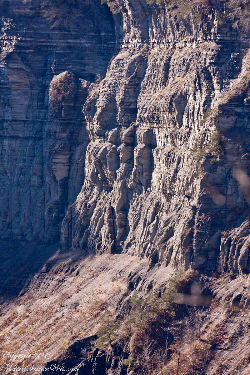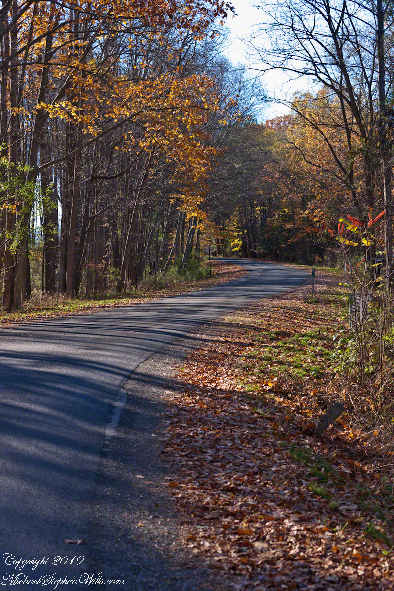
Early November on Gorge Road, Finger Lakes Region, New York State. At this month and latitude (42 north) there are long shadows throughout the day. The South Rim Trail of Taughannock Falls State Park briefly emerges from the wooded cliff to this portion of the road that parallels the gorge, descending to Cayuga Lake shores.
Click photograph for a larger view. To do this from WordPress Reader, you need to first click the title of this post to open a new page.

Gorge Road, early November
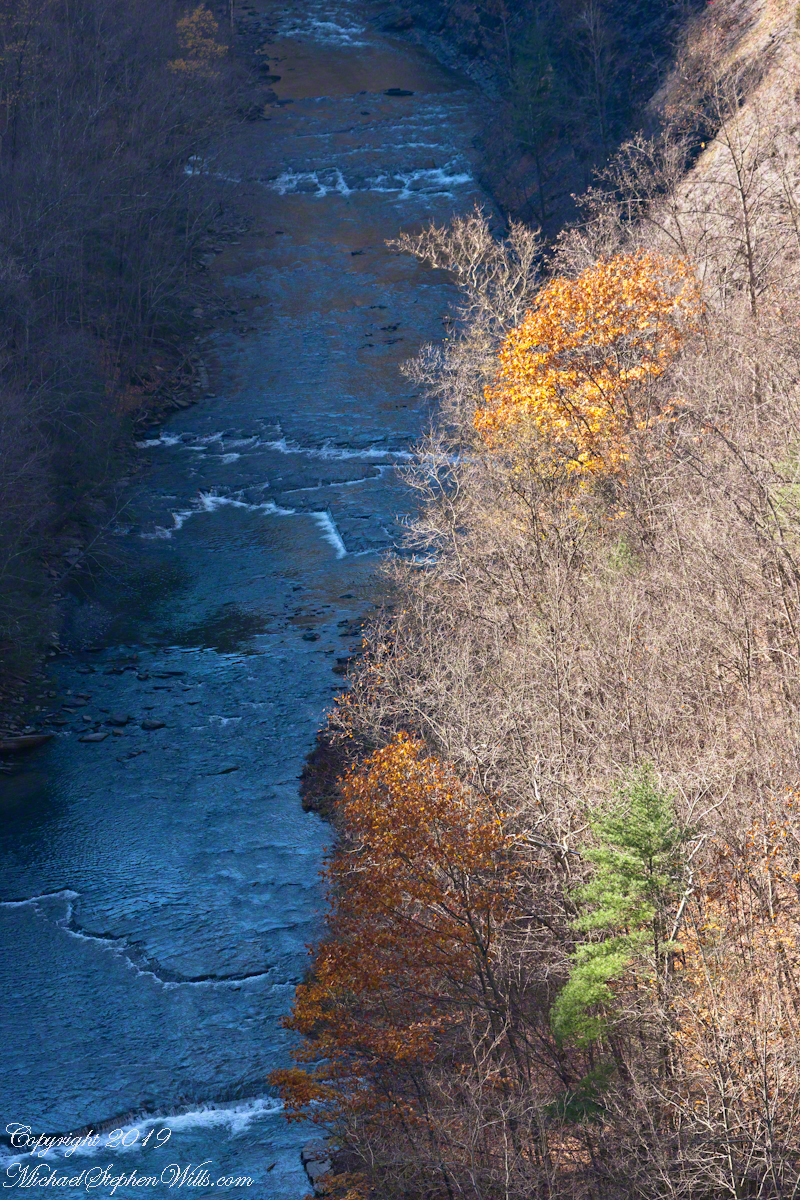
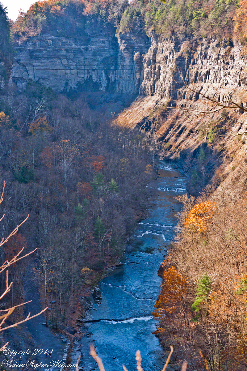
Three Views

Distant View with Hemlock 
Oak and Hemlock Gorge Road, early November