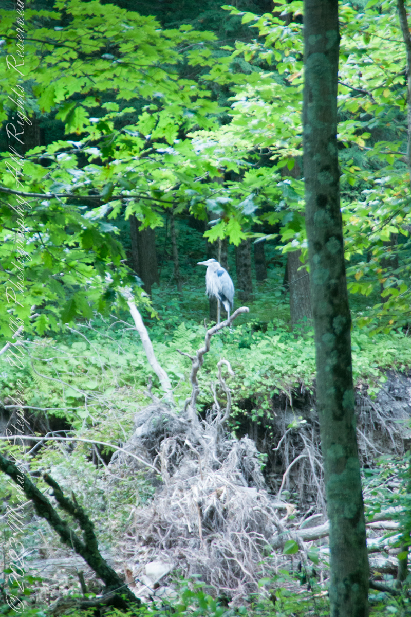
A Great Blue Heron spotted from Bear Trail during a family hike, perched on a splayed root of a tree undercut by flooding, fallen into Buttermilk Creek bed.
A heron recurves its long neck while perched. Adult herons have few natural predators and are rarely preyed upon due to their large size and sharp beak, but bald eagles (Haliaeetus leucocephalus) are known to attack great blue herons at every stage of their lifecycle from in the egg to adulthood.
Copyright 2023 Michael Stephen Wills All Rights Reserved
As with other members of the family Asteraceae. Thinleaved Sunflowers are composed of ray florets. The scientific species name “decapetalus” is inaccurate on several counts. The flower is composed of 8-12 (not only 10, as in “deca”) of these ray florets, not petals. These ray florets are part of the flower reproductive organs, a flower petal is adjacent to, not a component of, a flowers reproductive parts.
Found growing August 24, 2019 along a sunny trail, The flowers attract many kinds of insects, including bees and butterflies, some of which, such as the painted lady and the silvery checkerspot, use the plant as a larval host. The seeds provide a source of food for birds. Muskrats eat the leaves and stems and use the stems in the construction of their lodges. Here we see a honeybee gathering nectar and pollen.
August 20129, Buttermilk Falls New York State Park, Ithaca, Tompkins County, New York.
Copyright 2023 Michael Stephen Wills All Rights Reserved
Treman lake is formed by a dam on Buttermilk Creek, the trail around the lake is less frequented and popular with the locals, climbing up and down the glacially formed hills. Some popular resorts maintain trails that feed into the park.
A footbridge framed by hemlock trees traverses Buttermilk Creek where the East and West Treman Lake Trails meet. This season, 2019, this bridge was overwhelmed by driftwood piled up by spring flooding, impassable. We pick our way across the creek bed and over the water. Little ones needed a carry. An adult fisherman, to right of driftwood, provides perspective.
August 20129, Buttermilk Falls New York State Park, Ithaca, Tompkins County, New York.
Copyright 2023 Michael Stephen Wills All Rights Reserved
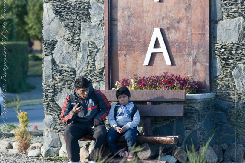
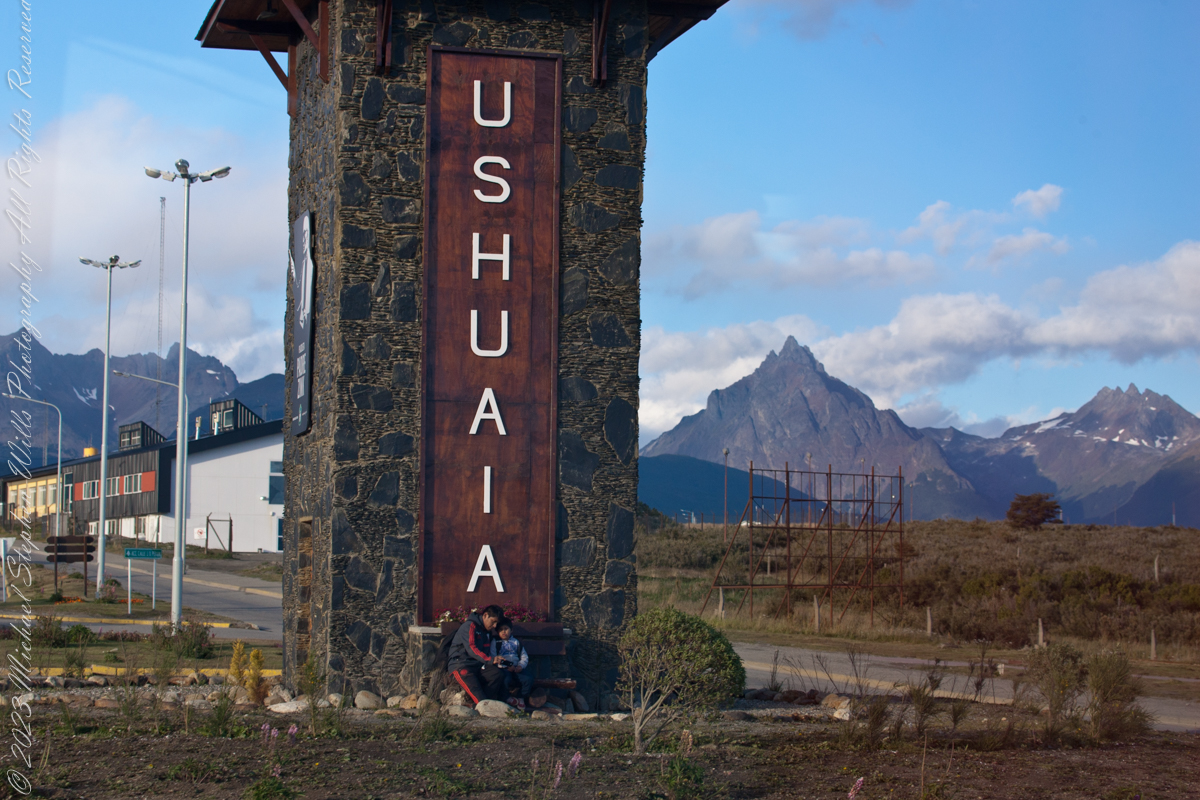
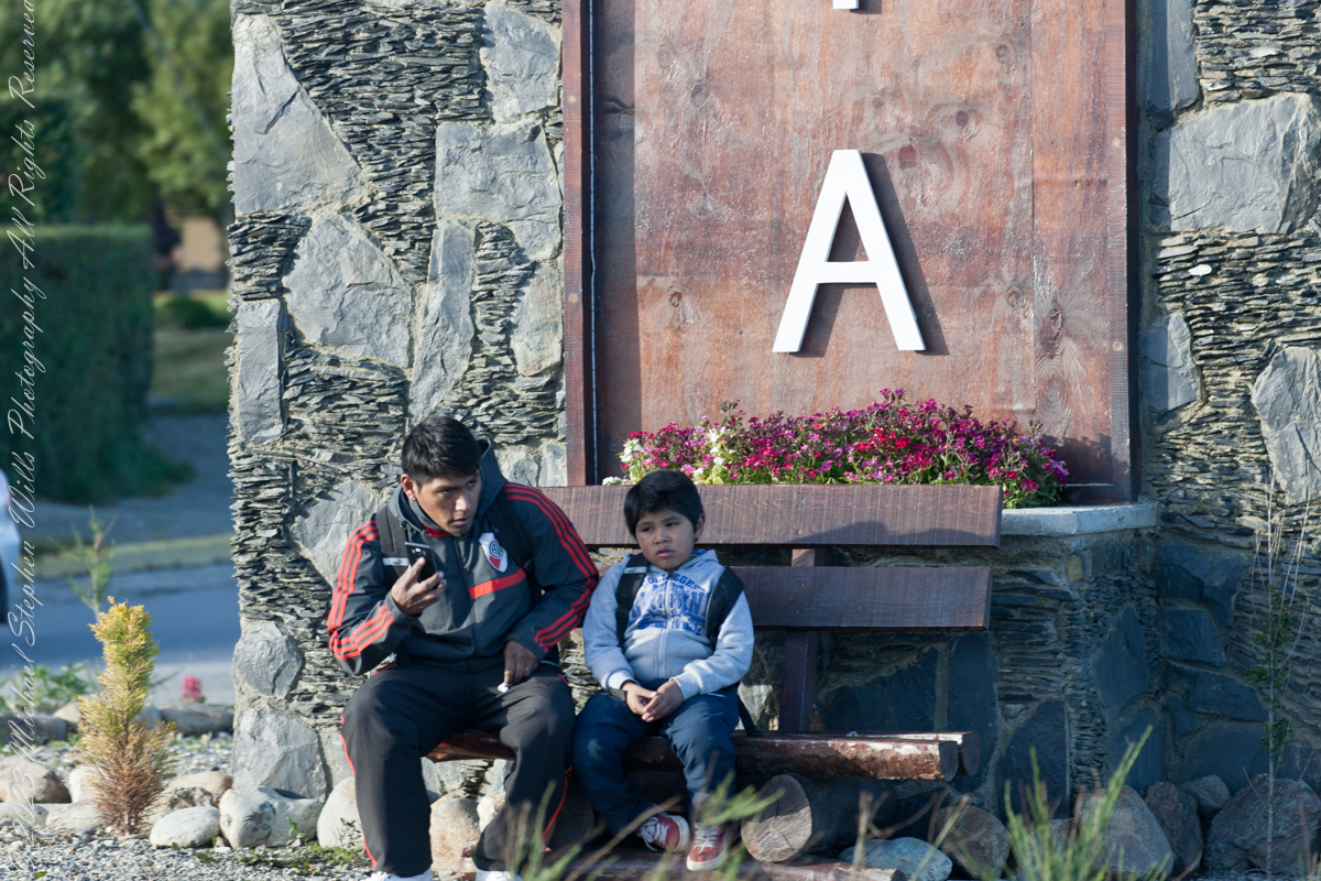
On our way back from “The Train at the End of the World” and sailing the Beagle Channel, these two young people came into view. Sitting at the foot of the a tower welcoming airport arrivals, who must transit this roundabout, is a pair of young people. In my imagination they were brothers waiting for a ride. In the first long wide shot the older is taking their selfie with the Ushuaia.
Here we at at the “center” of this city set spectacularly against the Fuegian Andes, the southern continuation of the Andes mountain range immediately south of the Strait of Magellan. with a West-East orientation. They occupy the mountainous and mountainous portion of the southern archipelago of Tierra del Fuego.
In this second, close photo, he is talking to the ride on his smart phone, after sending the selfie. The roundabout is named “Hipólito Yrigoyen” after an Argentine politician twice elected President.
Here is more information about the man:
Juan Hipólito del Sagrado Corazón de Jesús Yrigoyen (Spanish pronunciation: [iˈpolito iɾiˈɣoʝen]; 12 July 1852 – 3 July 1933) was an Argentine politician of the Radical Civic Union and two-time President of Argentina, who served his first term from 1916 to 1922 and his second term from 1928 to 1930. He was the first president elected democratically by means of the secret and mandatory male suffrage established by the Sáenz Peña Law of 1912. His activism was the prime impetus behind the passage of that law in Argentina.
Known as “the father of the poor”, Yrigoyen presided over a rise in the standard of living of Argentina’s working class together with the passage of a number of progressive social reforms, including improvements in factory conditions, regulation of working hours, compulsory pensions, and the introduction of a universally accessible public education system.
Yrigoyen was the first nationalist president, convinced that the country had to manage its own currency and, above all, it should have control of its transportation and its energy and oil exploitation networks.
Between the 1916 general election and the 1930 coup d’etat, political polarization was on the rise. Personalist radicalism was presented as the “authentic expression of the nation and the people” against the “oligarchic and conservative regime”. For the ruling party, the will of the majorities prevailed over the division of powers. The opposition, on the other hand, accused the Executive Branch of being arrogant and demanded greater participation from Congress, especially in matters such as the conflictive federal interventions.
Reference: Wikipedia “Andes fueguinos” and “Hipólito Yrigoyen.”
Copyright 2023 Michael Stephen Wills All Rights Reserved
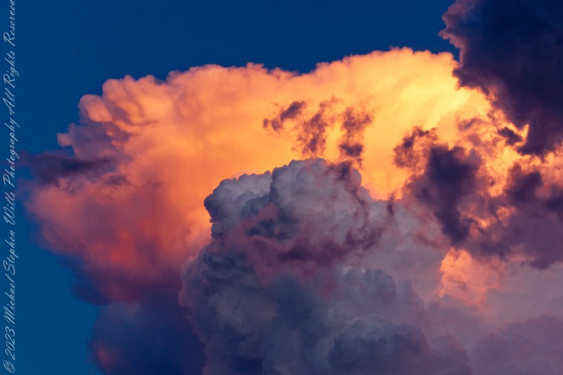
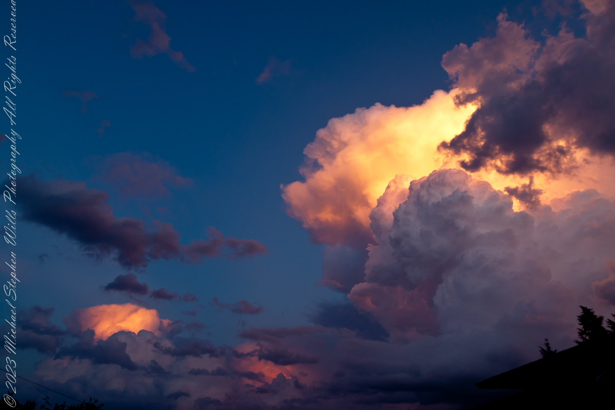
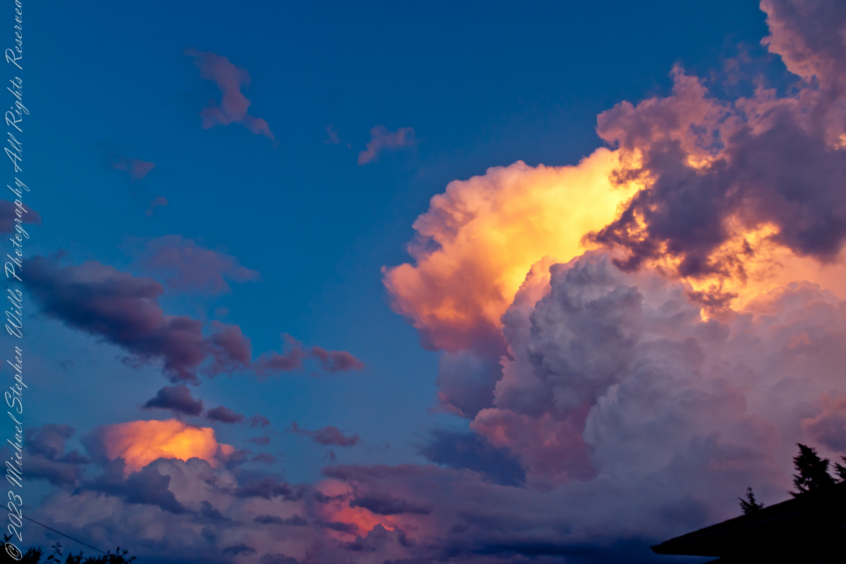
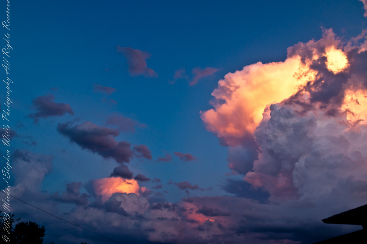
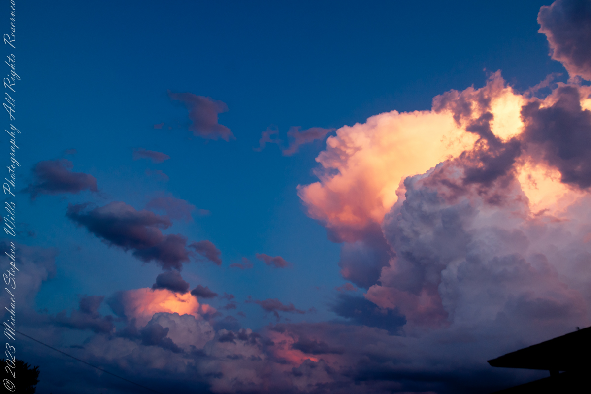
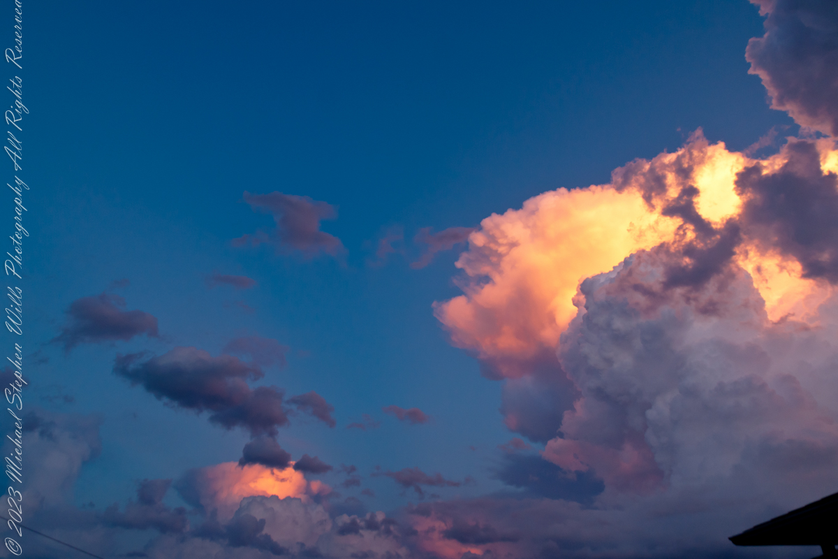
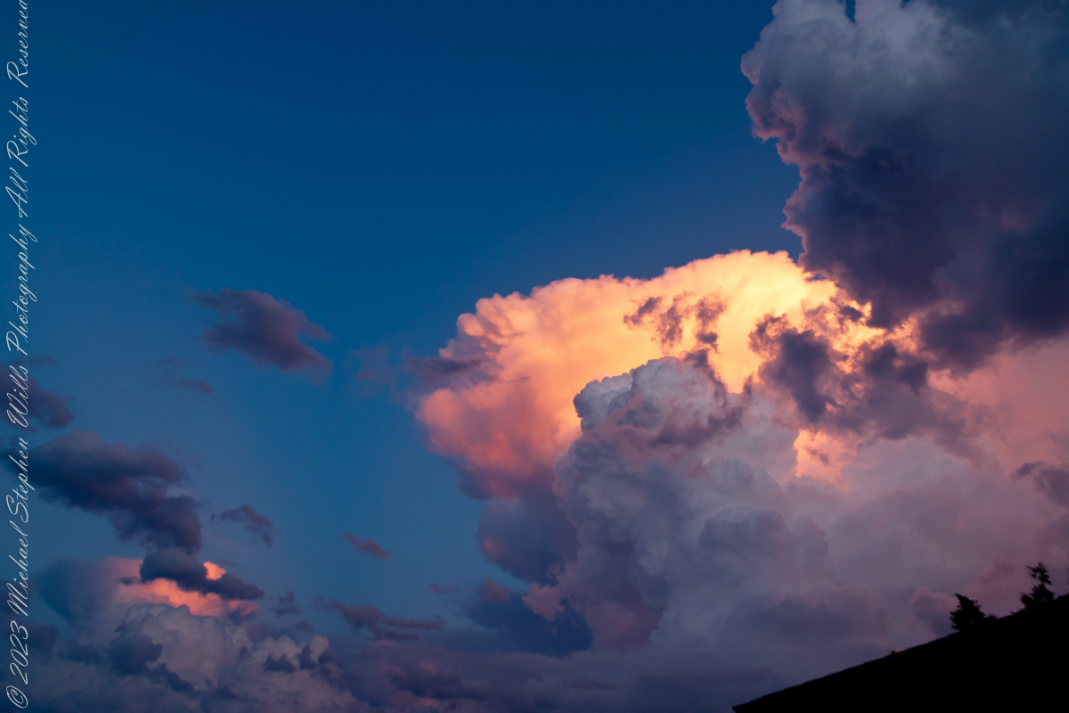
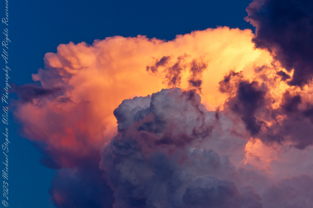
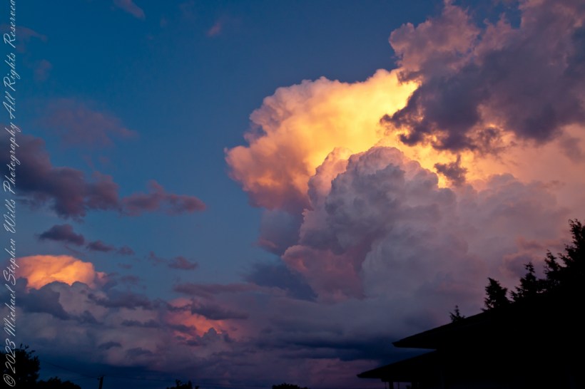
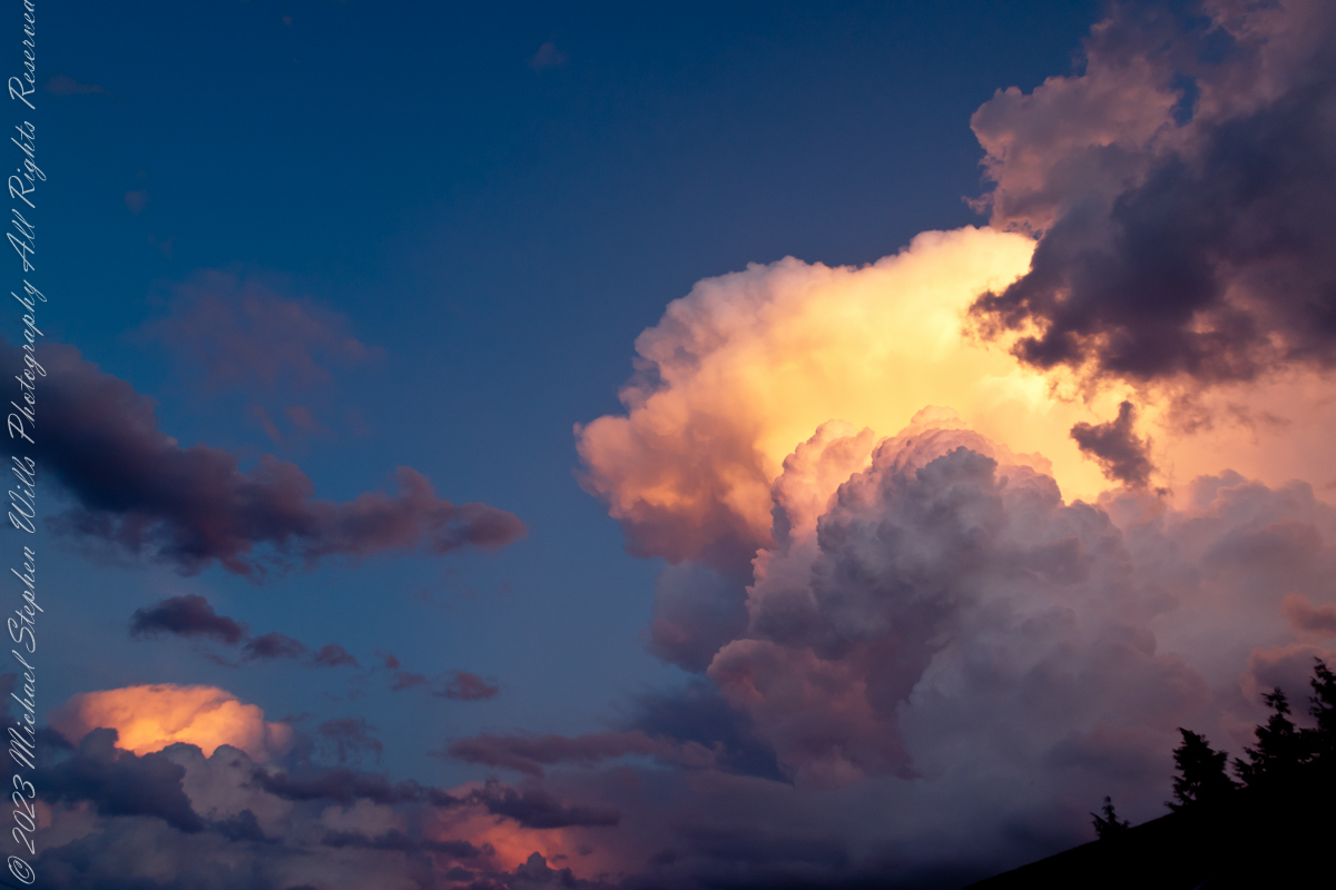
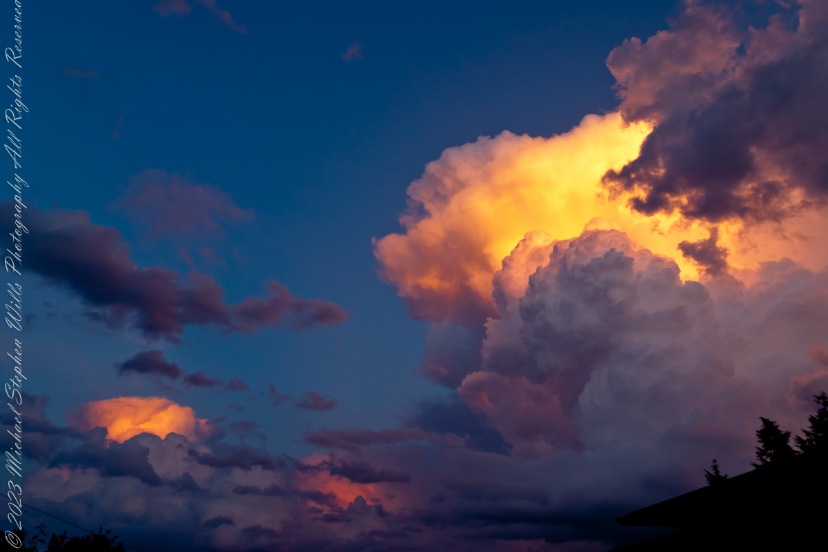
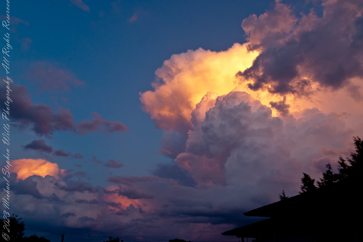
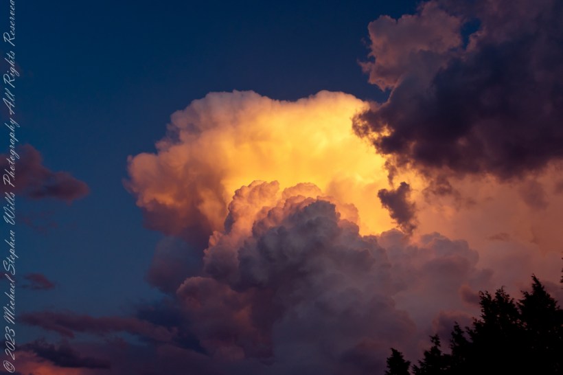
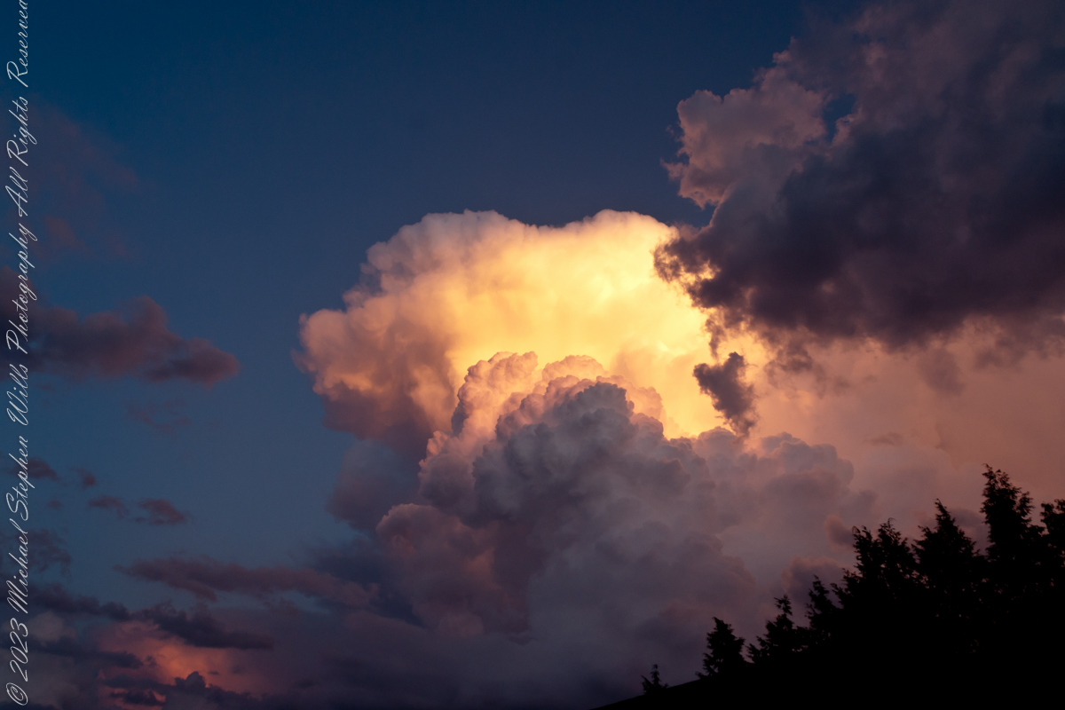
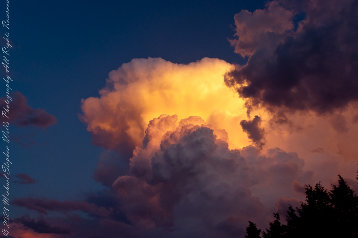
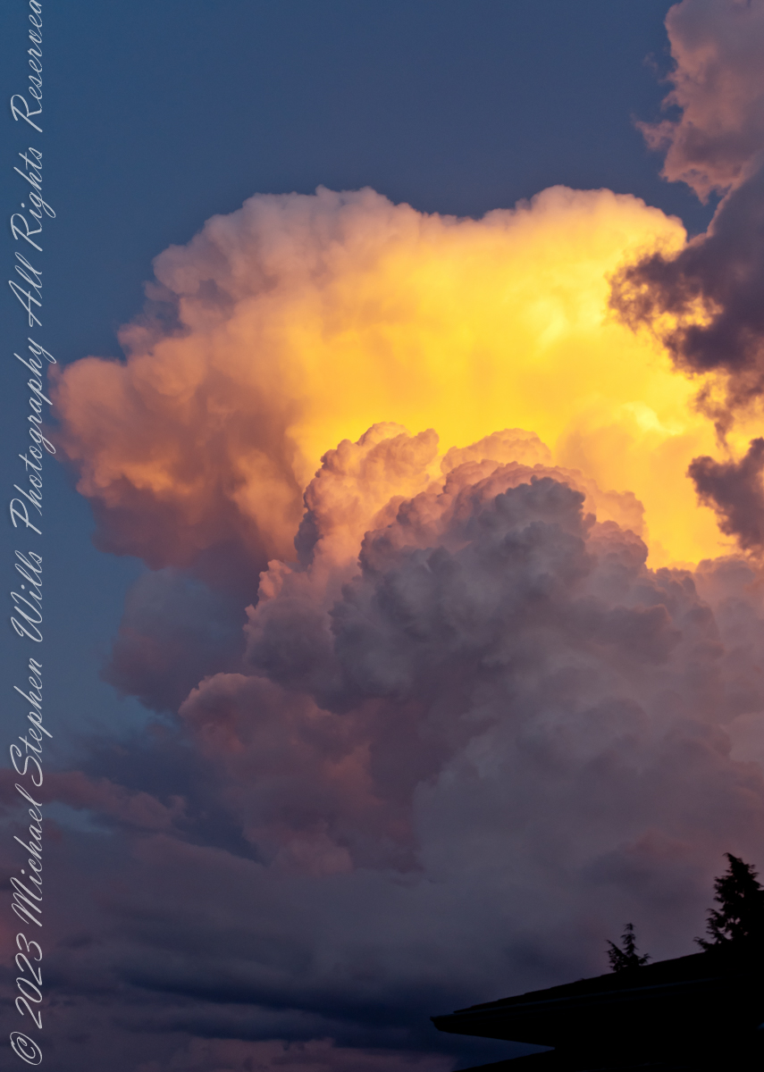
The combination of water vapor in all its forms and the sun dipping below the horizon combined to form these magical images.
Maxfield Parrish refined his art to duplicate these effects in oil.
Parrish’s art is characterized by vibrant colors; the color Parrish blue was named after him. He achieved such luminous color through glazing. This process involves applying layers of translucent paint and oil medium (glazes) over a base rendering. Parrish usually used a blue and white monochromatic underpainting.
His paintings/illustrations were unique in that they depicted a highly idealized fantasy world that was accessible to the public. Although you will rarely see a glimpse of that color in reality, he was and still is linked with a particularly bright shade of blue that coated the skies of his landscapes. And it was not an easy task for him to complete. He invented a time-consuming process that involved a cobalt blue base and white undercoating, which he then coated with a series of thin alternating coatings of oil and varnish. When exposed to ultraviolet light, the resins he employed, known as Damar, fluoresce a shade of yellow-green, giving the painted sky its distinctive turquoise tint.
Reference: “Maxfield Parrish” from Wikipedia
Copyright 2023 Michael Stephen Wills All Rights Reserved
Cumulonimbus (from Latin cumulus ‘heaped’, and nimbus ‘rainstorm’) is a dense, towering vertical cloud, typically forming from water vapor condensing in the lower troposphere that builds upward carried by powerful buoyant air currents.
Above the lower portions of the cumulonimbus the water vapor becomes ice crystals, such as snow and graupel, the interaction of which can lead to hail and to lightning formation, respectively. When occurring as a thunderstorm these clouds may be referred to as thunderheads. Cumulonimbus can form alone, in clusters, or along squall lines.
Graupel also called soft hail, hominy snow, or snow pellets, is precipitation that forms when supercooled water droplets in air are collected and freeze on falling snowflakes, forming 2–5 mm (0.08–0.20 in) balls of crisp, opaque rime.
Graupel is distinct from hail and ice pellets in both formation and appearance. However, both hail and graupel are common in thunderstorms with cumulonimbus clouds, though graupel also falls in winter storms, and at higher elevations as well.
These clouds can produce lightning and other dangerous severe weather, such as tornadoes, hazardous winds, and large hailstones. Cumulonimbus progresses from overdeveloped cumulus congestus clouds and may further develop as part of a supercell. Cumulonimbus is abbreviated Cb.
Reference: “Cumulonumbus Cloud” and “Graupel” from Wikipedia
Copyright 2023 Michael Stephen Wills All Rights Reserved
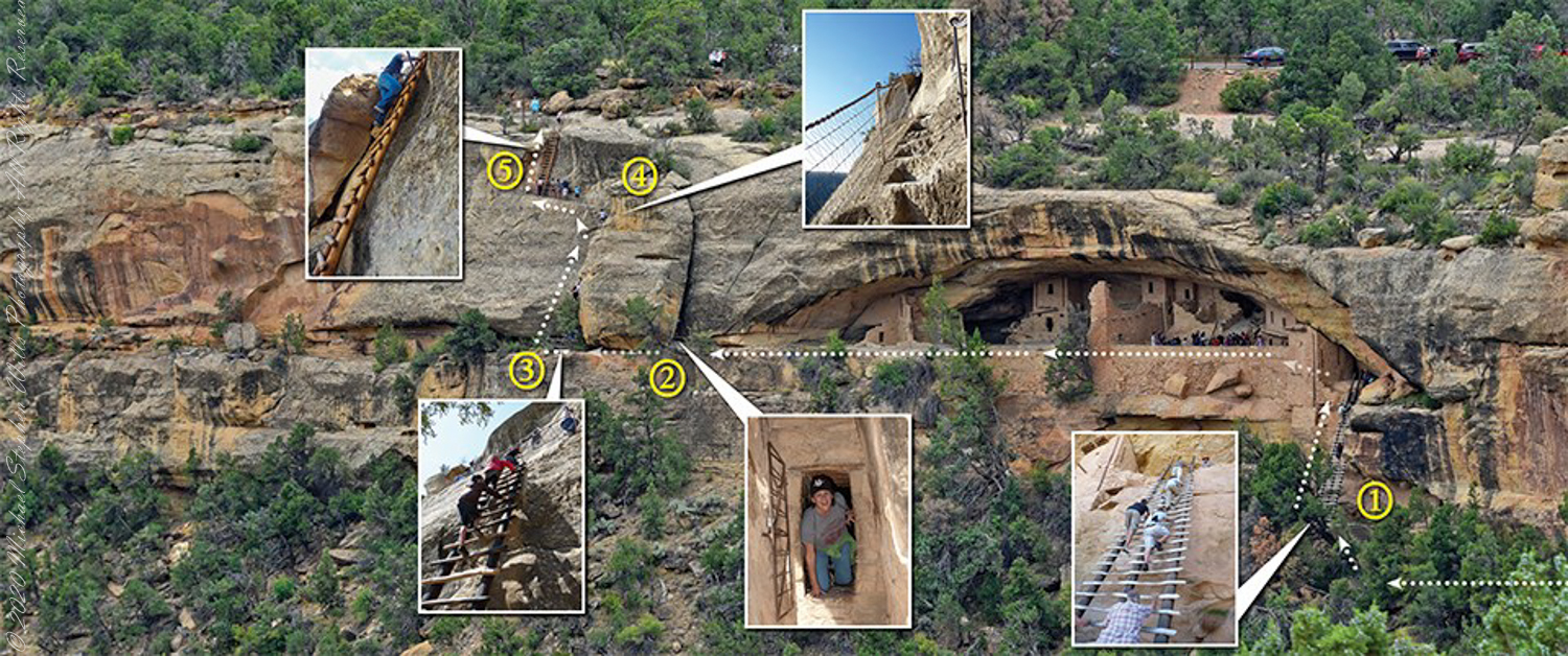
A visit to Balcony House is a 0.25-mile (0.4 km) hike. The tour requires walking down a 130-step metal staircase then, (1) climbing up one 32-foot (9.8 m) ladder to enter, two small ladders, and 12 uneven stone steps within the site.
(2) crawling through an 18-inch wide (46 cm) by 12-foot (3.7 m) long tunnel as you leave the site.
(3 – 5) ascending a 60-foot (18 m) open cliff face with uneven stone steps and two 17-foot (5 m) ladders to exit. Mesa Verde National Park, near Cortez, Montezuma County, Colorado.
Photograph and caption (above) is from the US Park Service, Mesa Verde, Balcony House tour web site
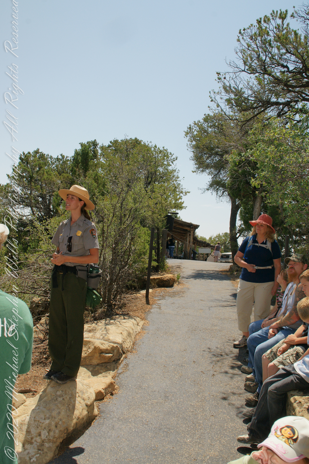
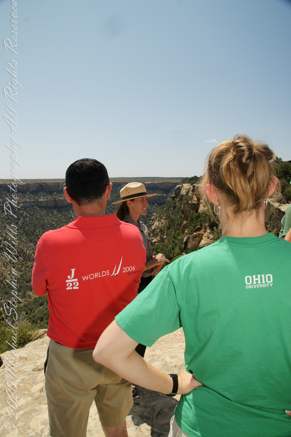
We purchased our timed tour ticket at the visitor center at the foot of the Mesa, essentially a flat top mountain rising dramatically from the surrounding plain. In the second photograph we are looking over the mesa rim overlooking Soda Canyon.
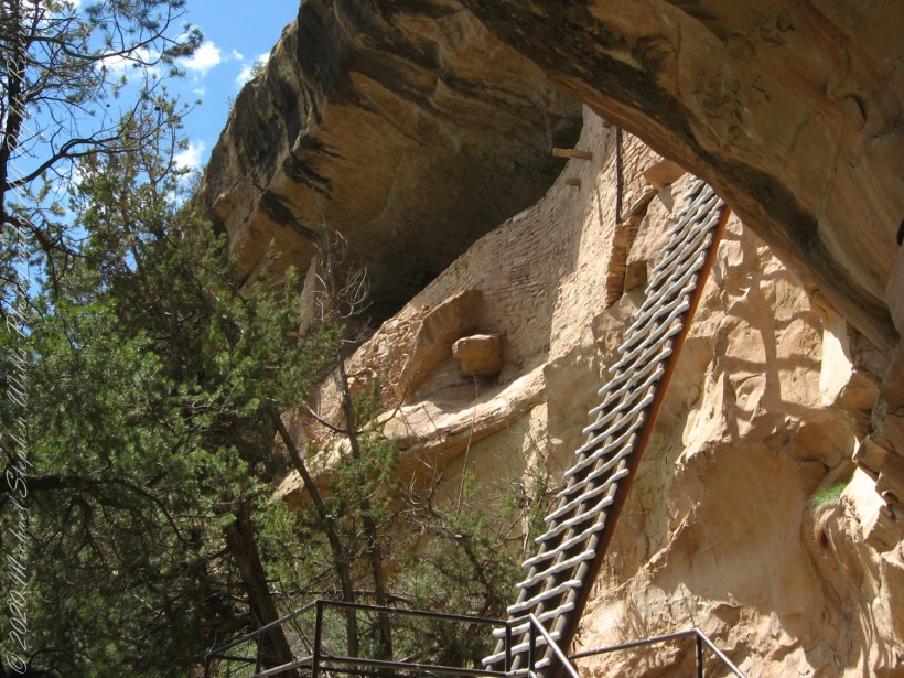
The tour is a small adventure, starting with a climb down into Soda Canyon and a climb up a 32 foot ladder. The ladder is solid and we had plenty of time to climb with one person ascending at a time. I was a bit overwhelmed by the experience and had my equipment tucked away for safety. I had to leave my sturdy tripod in the car. A more adventurous photographer captured the following ladder photograph.
Here we are looking back to the entrance, where visitors crawl on hands and knees to enter.
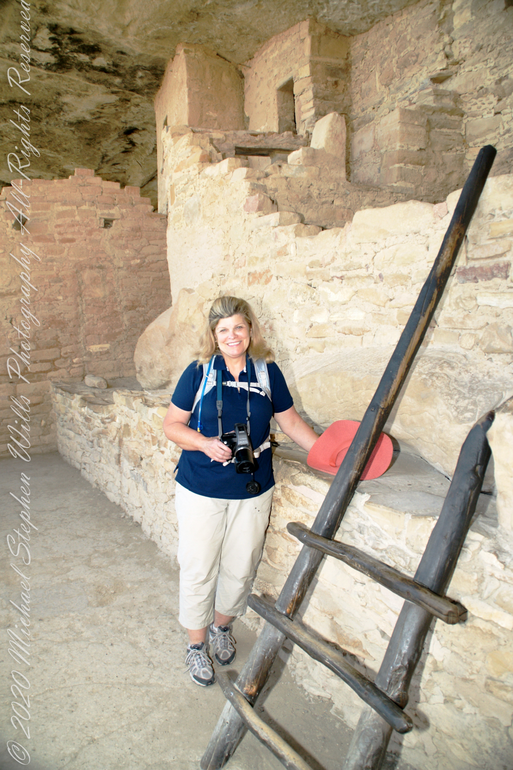
Here is Pam twenty two (22) minutes into the tour. The structures are build into a naturally occurring cleft in the mesa cliff, below the rock shelf of the mesa top. The rock shelf is the roof above Pam.
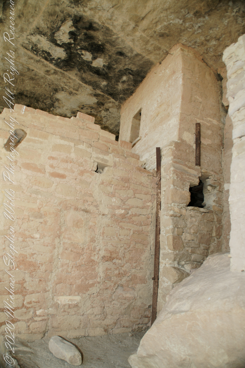
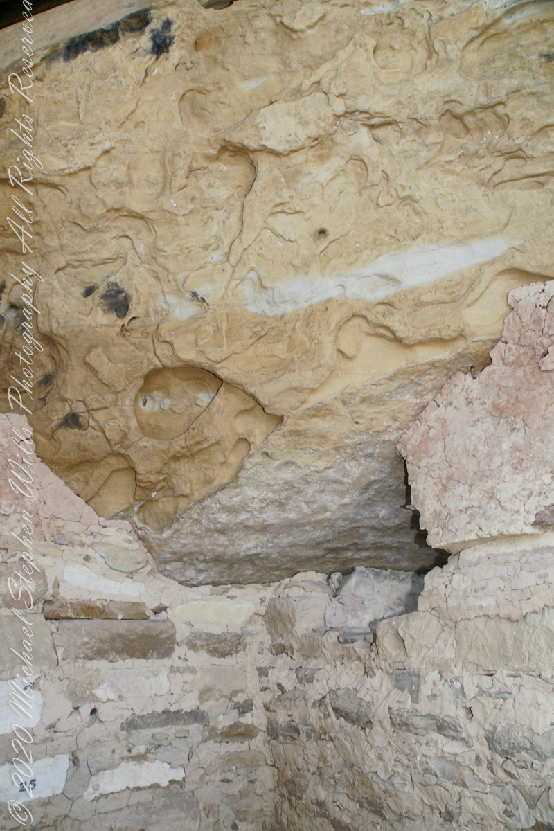
Looking up to the ceiling above a rock and mud wall. The structures have been carefully, lovingly, conserved since the rediscovery of Mesa Verde in 1884. The conservation work began 1910.
The 38 rooms and two kivas house up to 30 people. The cliff northeast facing cliff provided little warmth from the sun in winter. At 7,000 feet and 37 degrees latitude, the mesa is cold wintertime — the average low being 18 degrees Fahrenheit (minus 8 Celsius). As other locations offer a southern exposure, the warmest side for the northern hemisphere, why was this site chosen by the ancients? The answer is found in the two water seeps emerging from the ground at the juncture geological layers where the water gathers and finds a way from surface rainfalls. The high desert climate here was dry then and now.
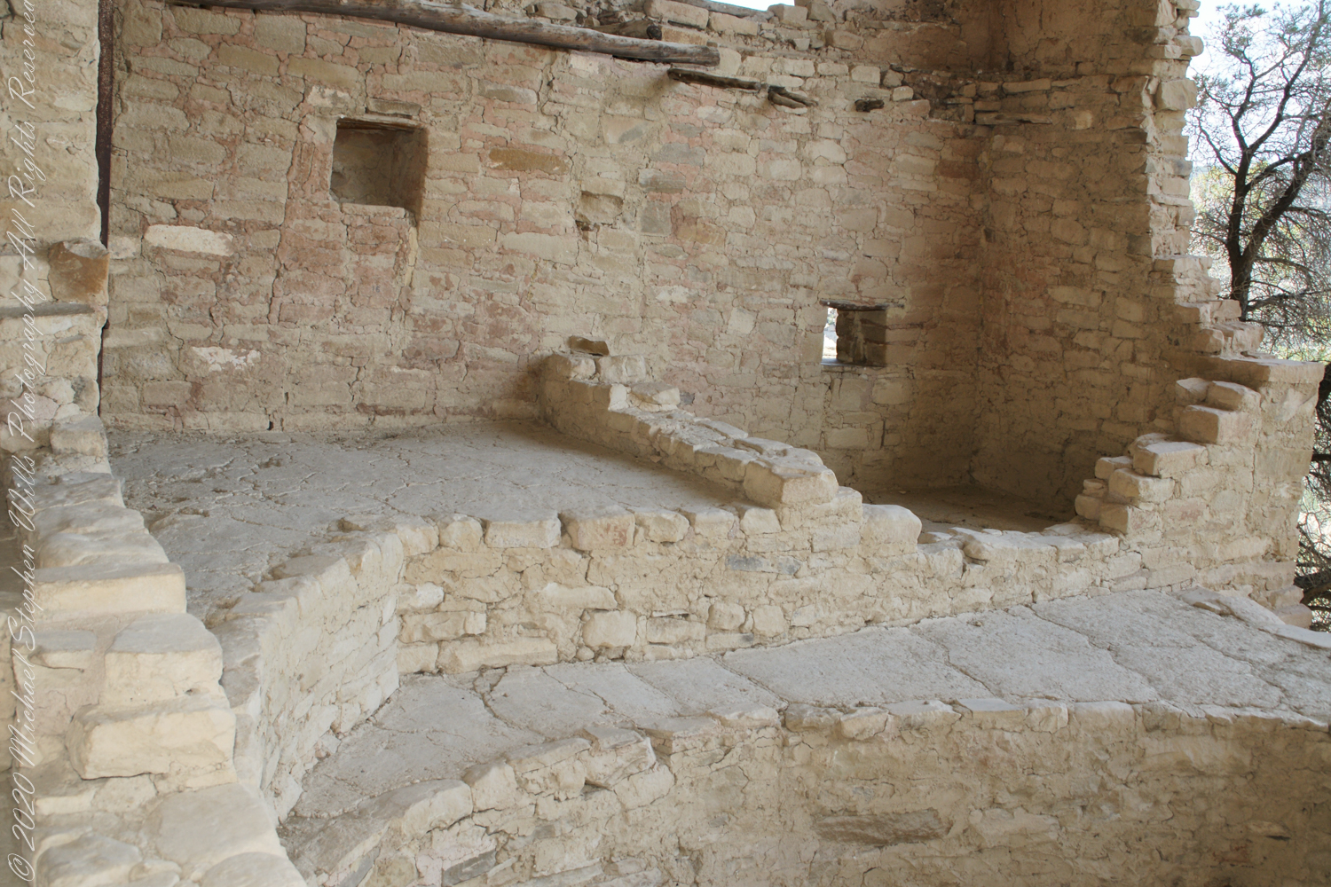
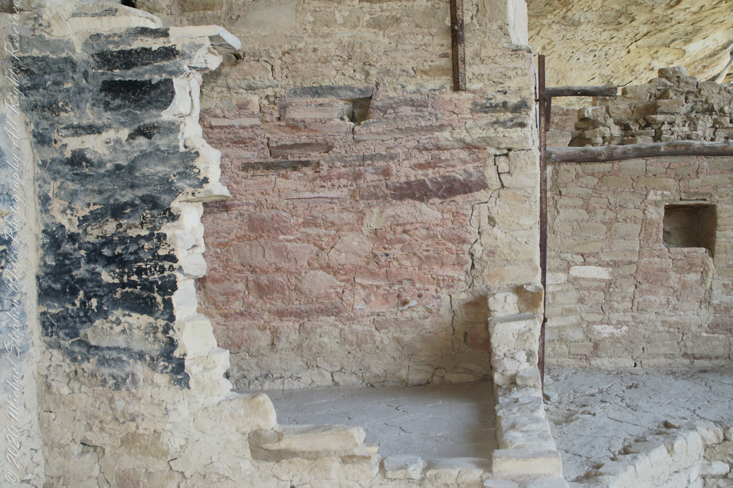
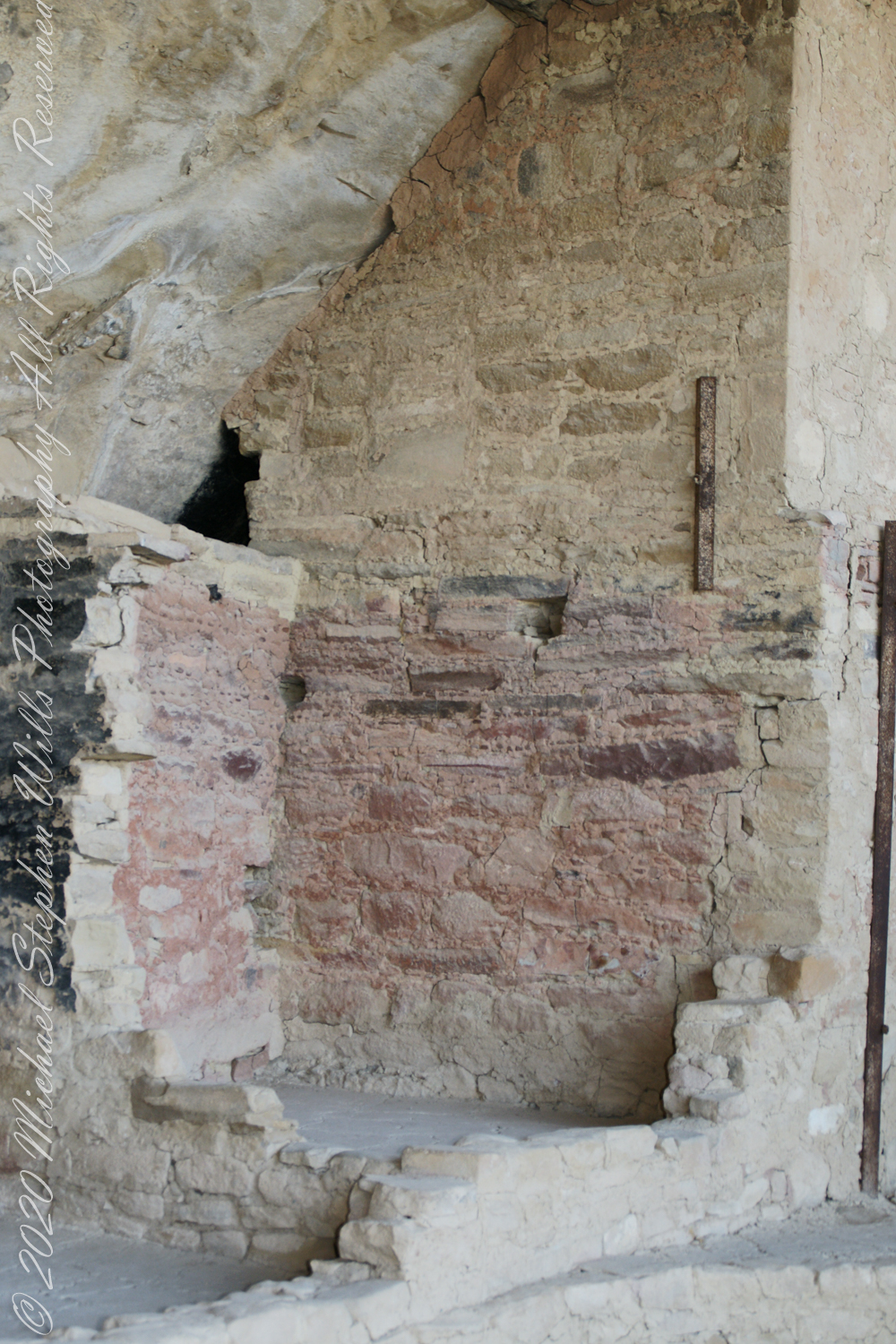
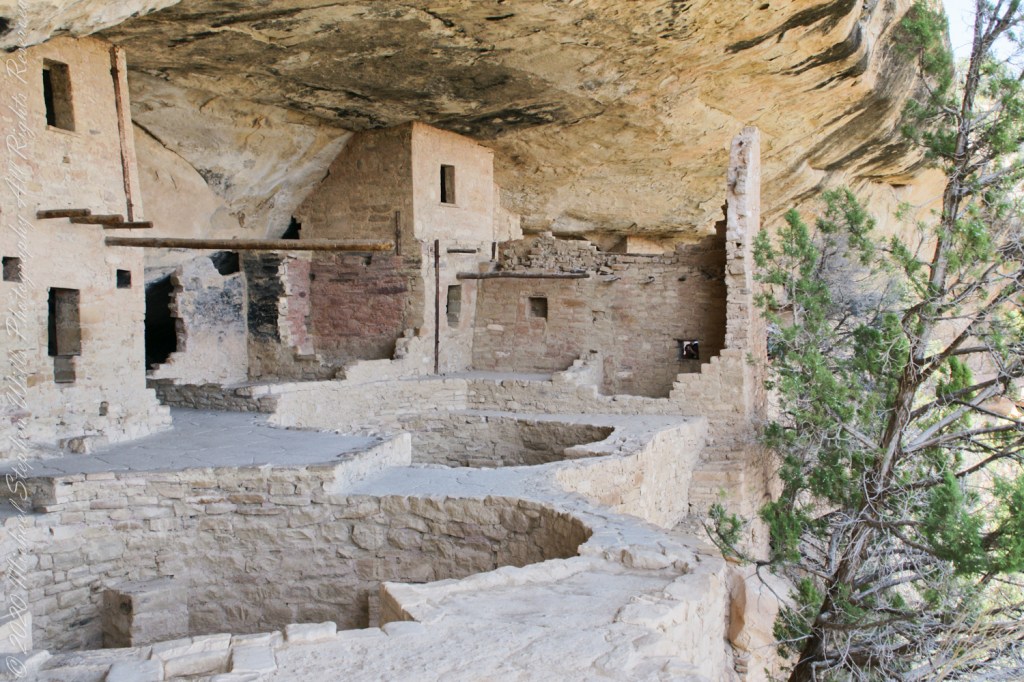
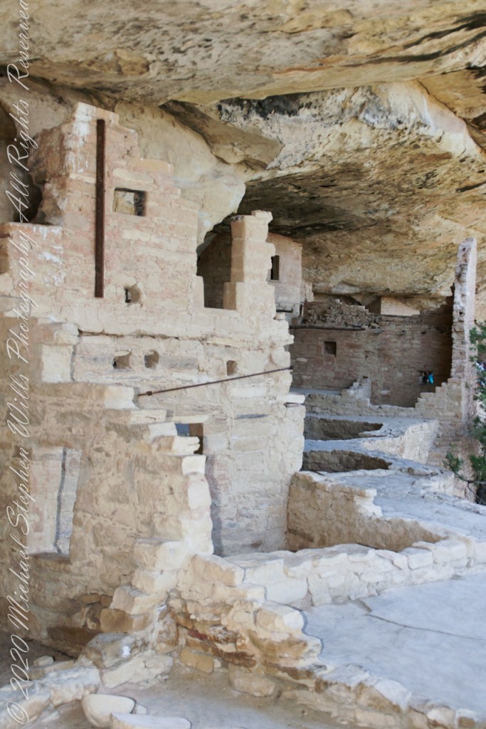
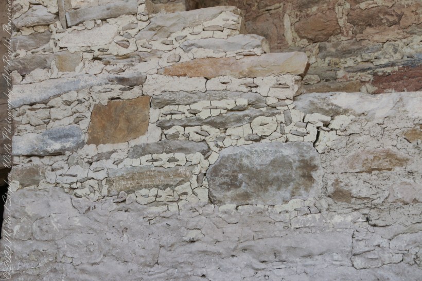
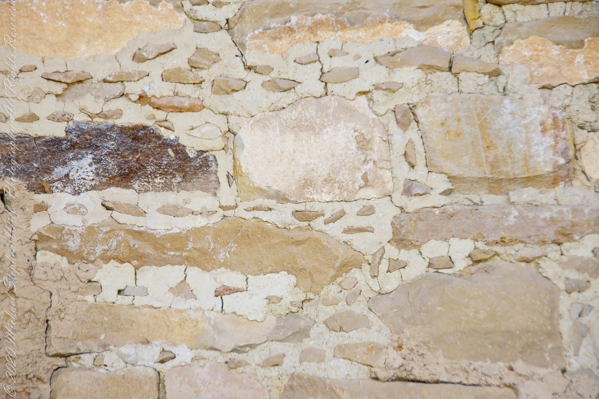
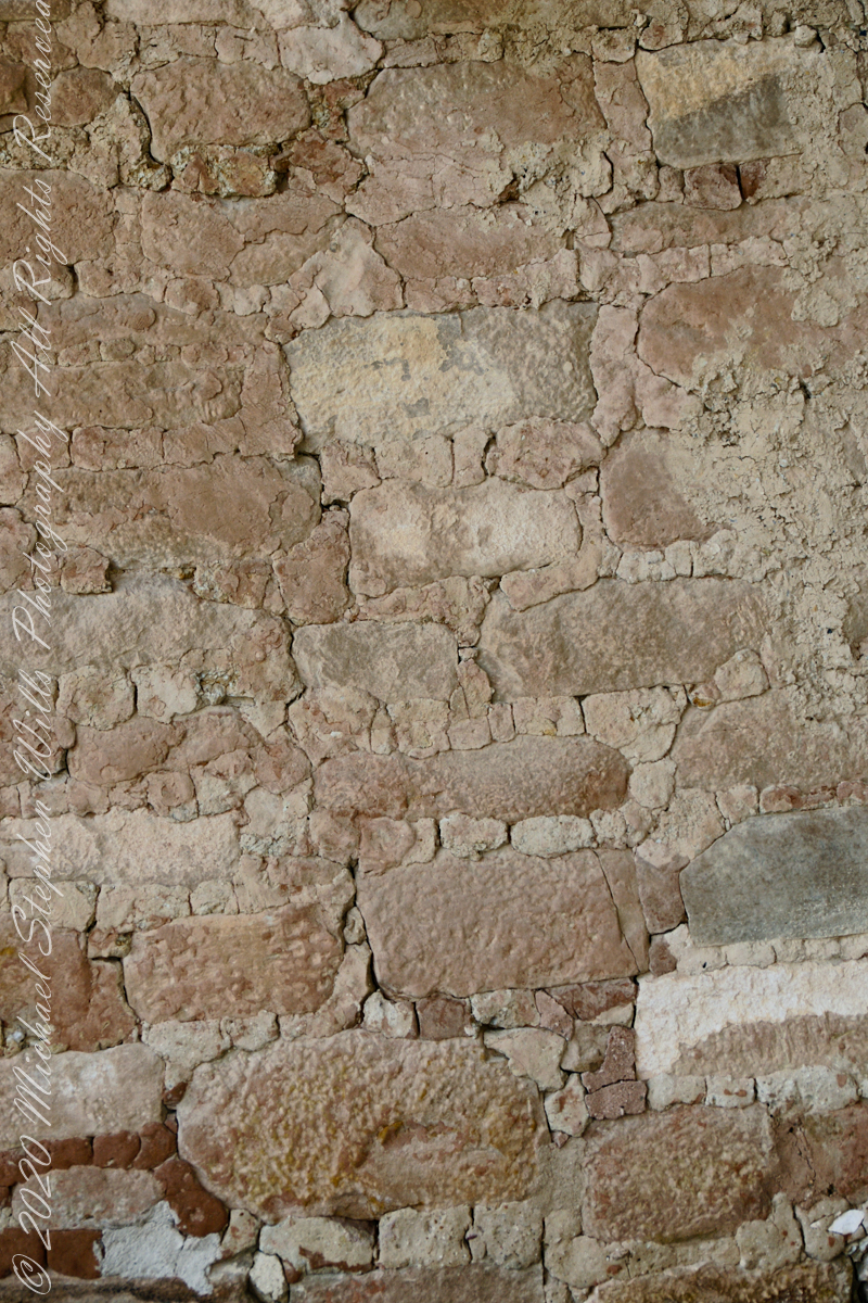
The walls demonstrate an enormous variety around basic patterns.
Plaza
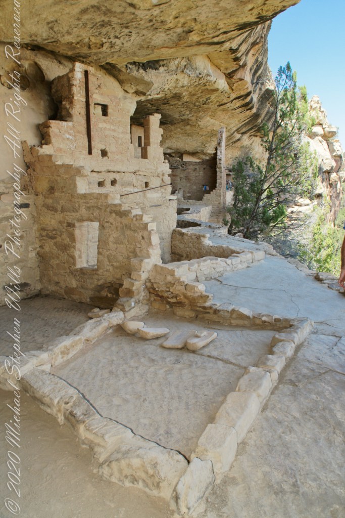
I had enough time to capture these “fine art” views of Balcony House, looking back toward the entrance. The round, in-ground structures are kivas, ceremonial and communal gathering spaces.
Possibly the most adventurous and potentially frightening tour component was the end, crawling on hands and knees along an 18 inch wide (46 centimeters) 12 foot long (3.7 meters) tunnel followed by a climb up a 60 foot (20 meters) open (exposed to falling over) cliff face.
Copyright 2023 Michael Stephen Wills All Rights Reserved
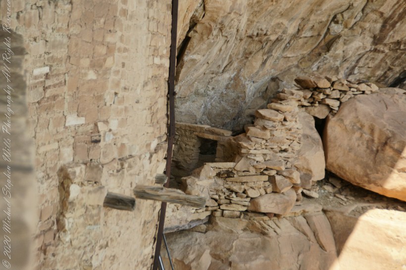
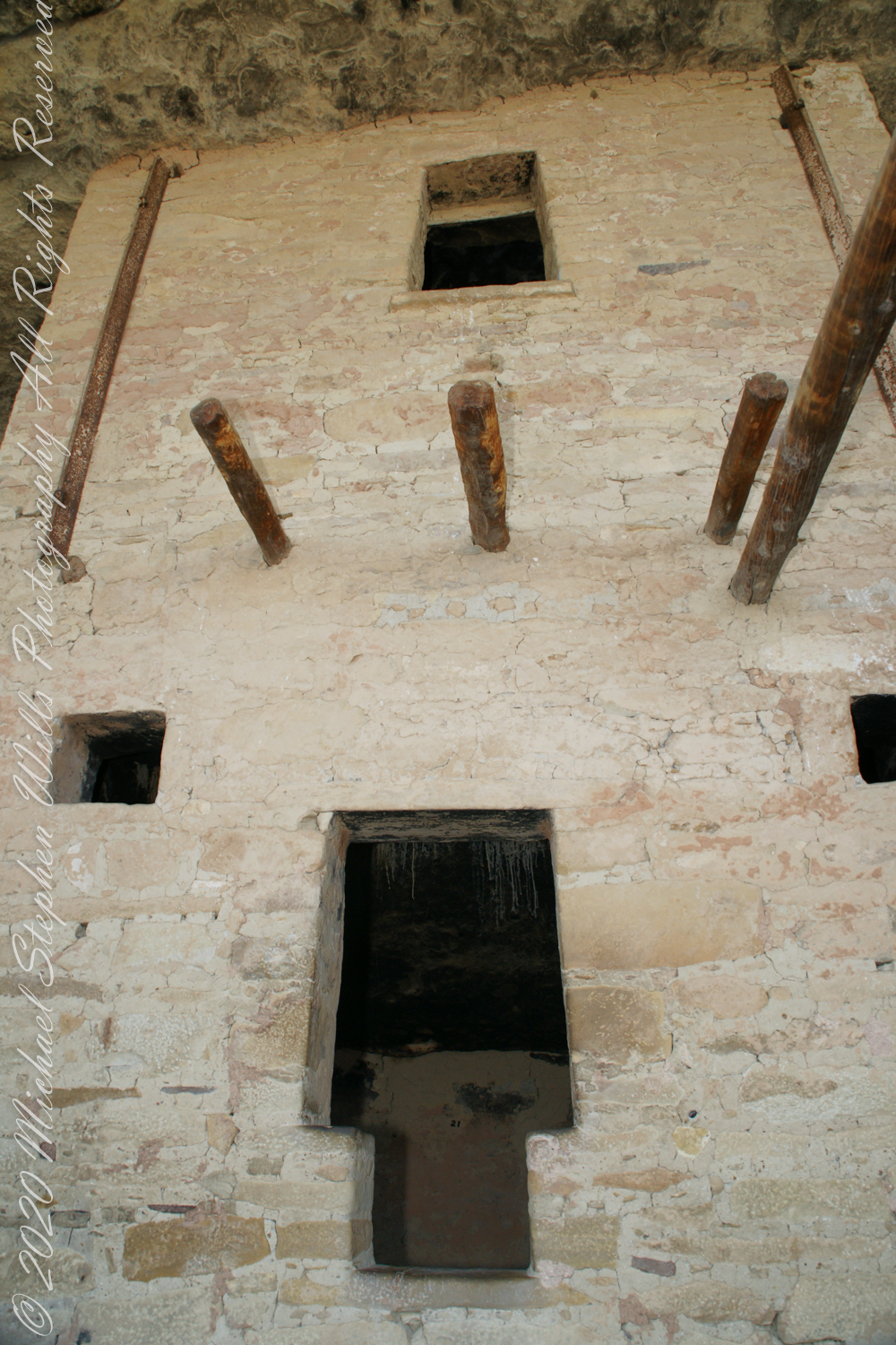
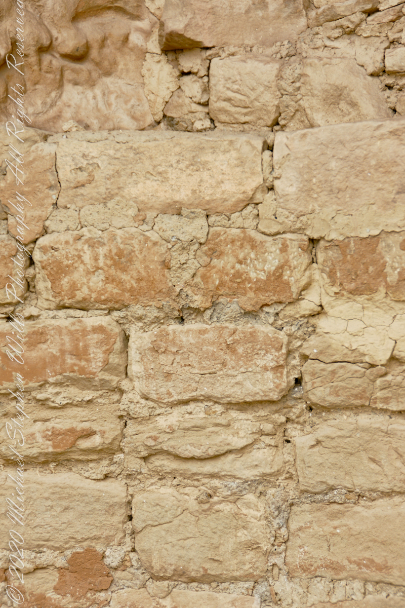
When the ancestral Puebloans moved from living next to their fields, in adobe structures, to these cliff dwellings, their building techniques were left behind.
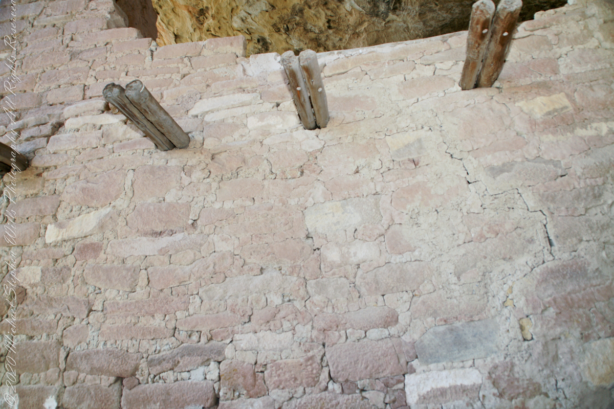
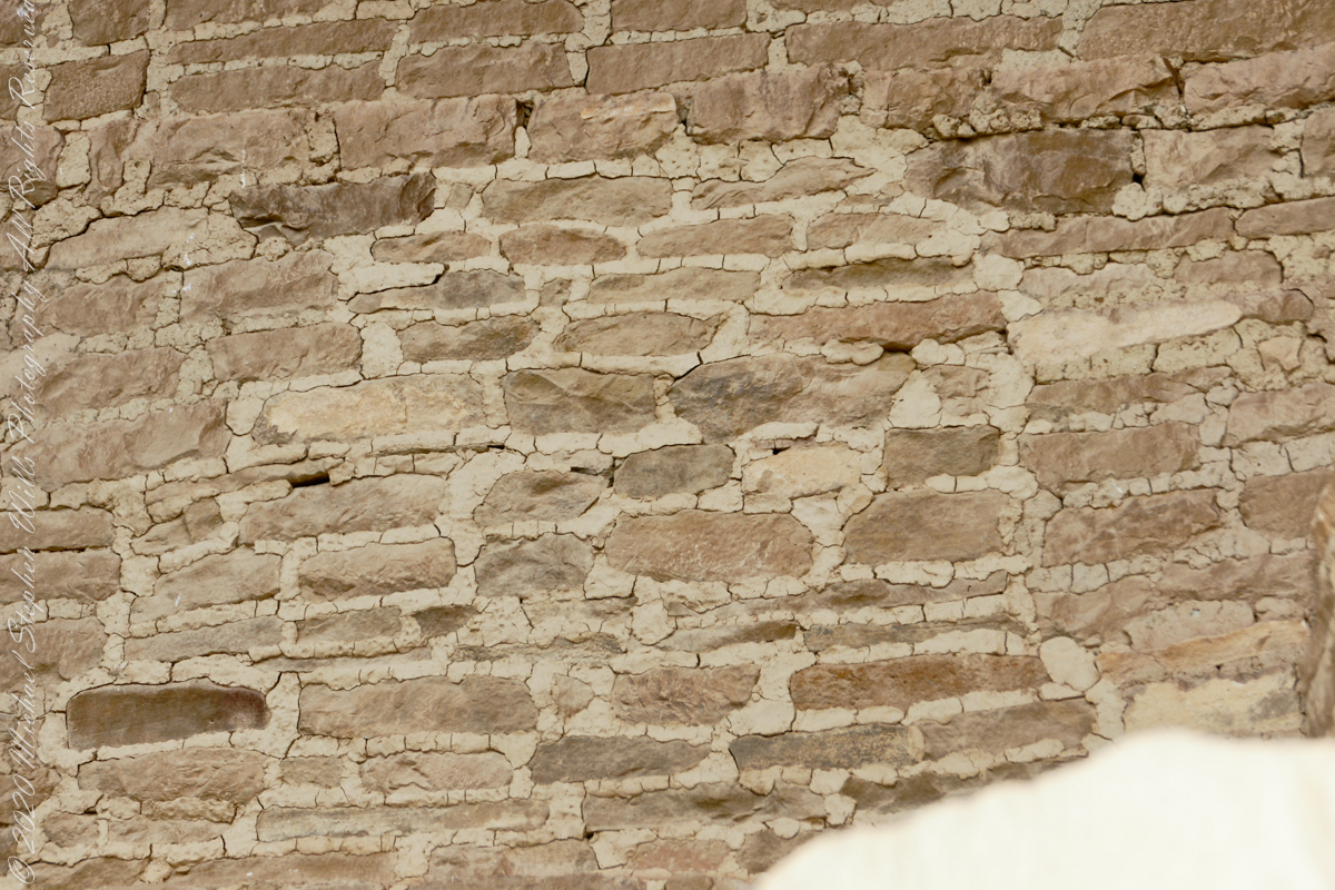
Stone and Mud Mortar with wood beams. Mesa Verde National Park, Montezuma County, near Cortez, Colorado.
Mud mortar was used to bind stones. Wood poles were used for to construct floors. These are walls captured during the Ranger guided tour of Balcony House.
..
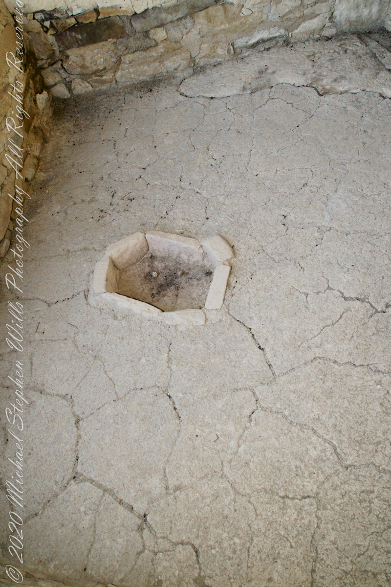
This flat Kiva floor was achieved through clay, softened with water, formed and allowed to dry.
Clay Kiva Floor. Mesa Verde National Park, Montezuma County, near Cortez, Colorado.
Cliff Palace
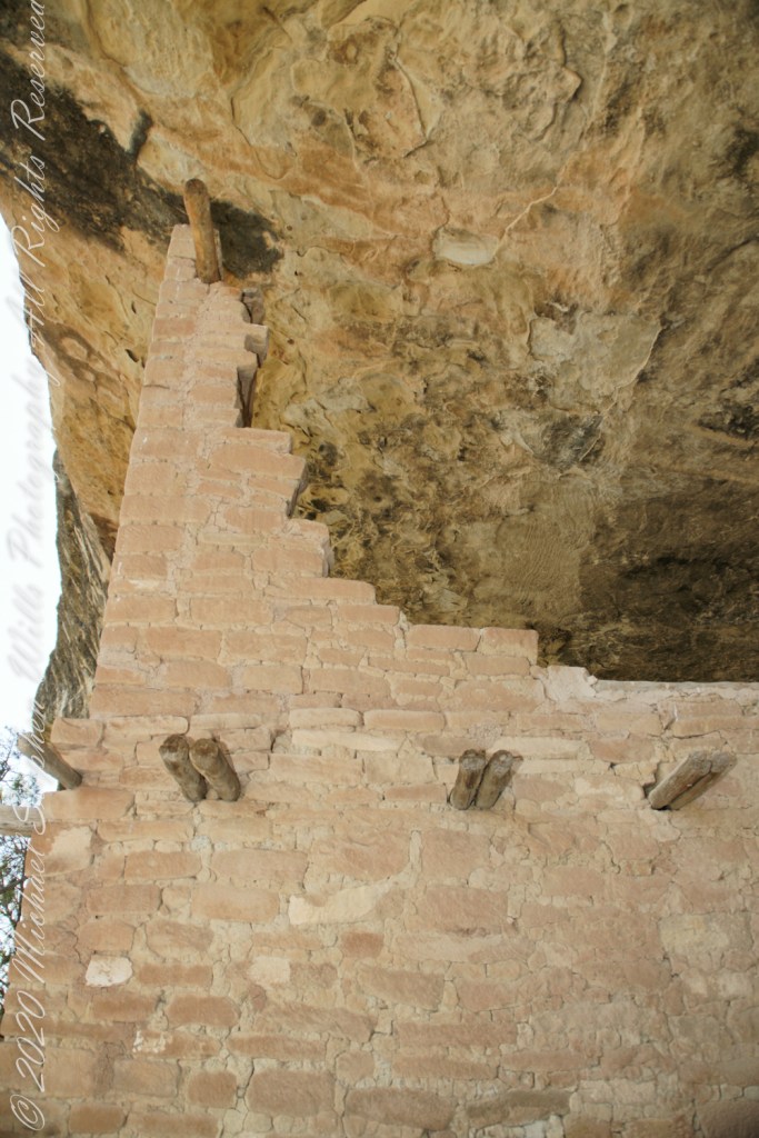
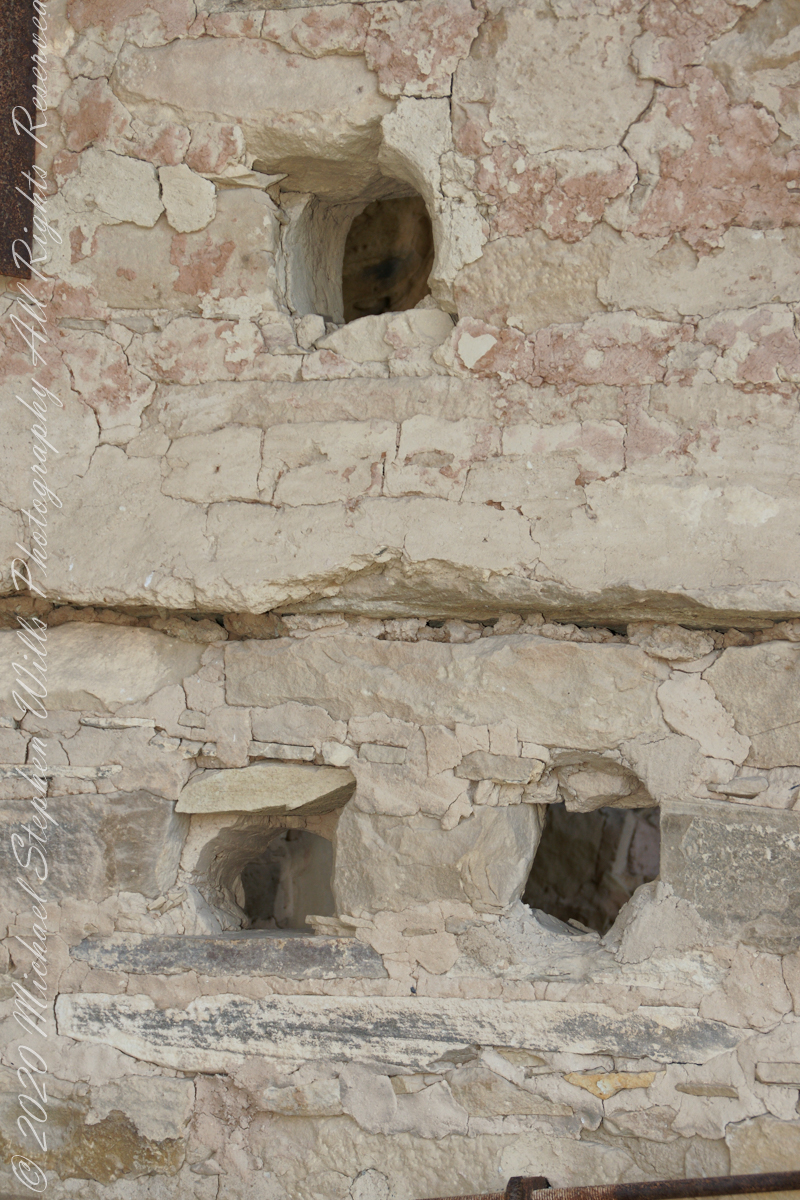
In this wall the poles rotted and crumbled, leaving behind these characteristic holes.
These architects excelled with adapting to the materials at hand.
.
The walls demonstrate an enormous variety around basic patterns.
Copyright 2023 Michael Stephen Wills All Rights Reserved
A kiva is a space used by Puebloans for rites and political meetings, many of them associated with the kachina belief system. Among the modern Hopi and most other Pueblo peoples, “kiva” means a large room that is circular and underground and used for spiritual ceremonies.
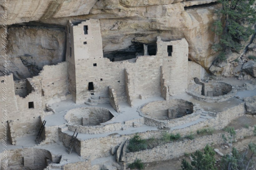
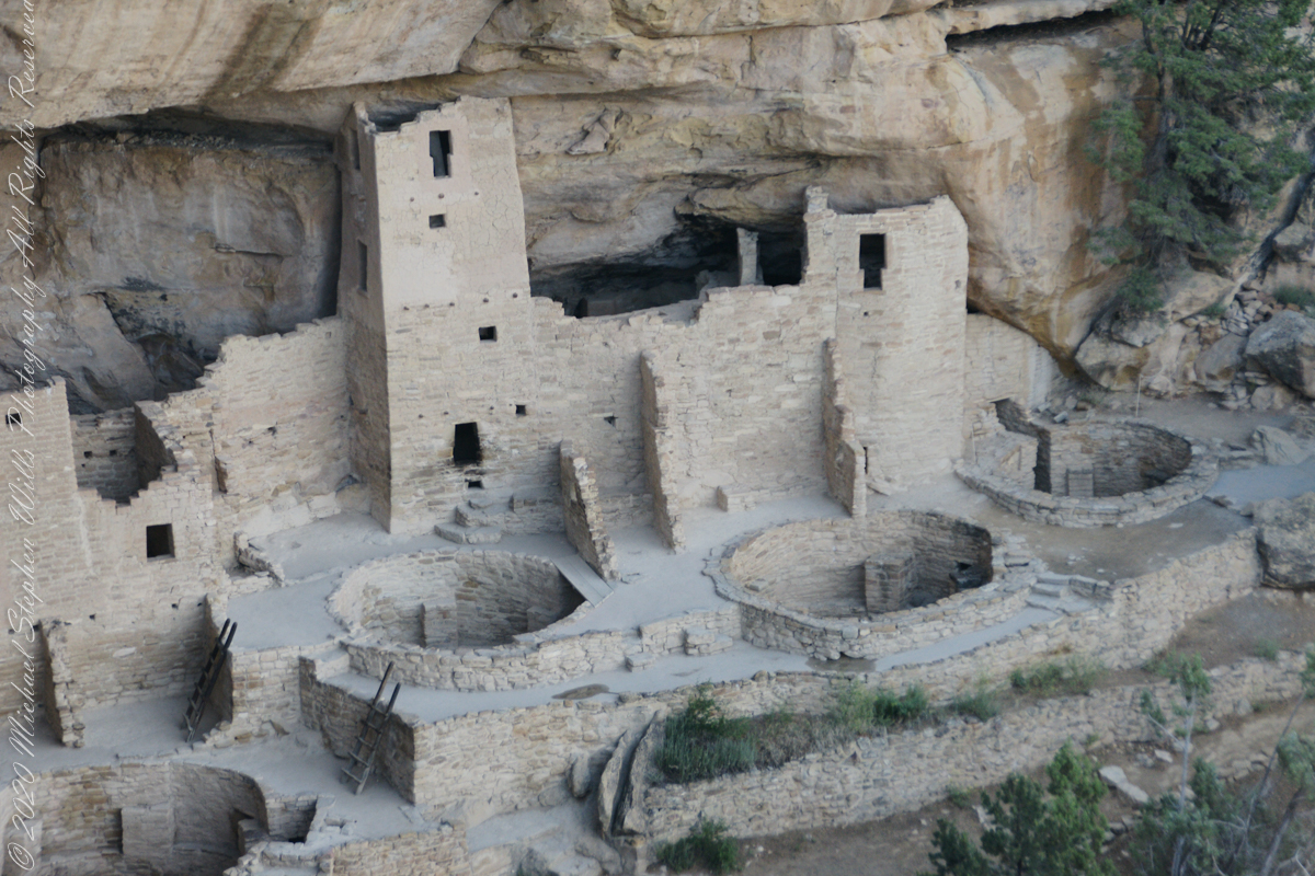
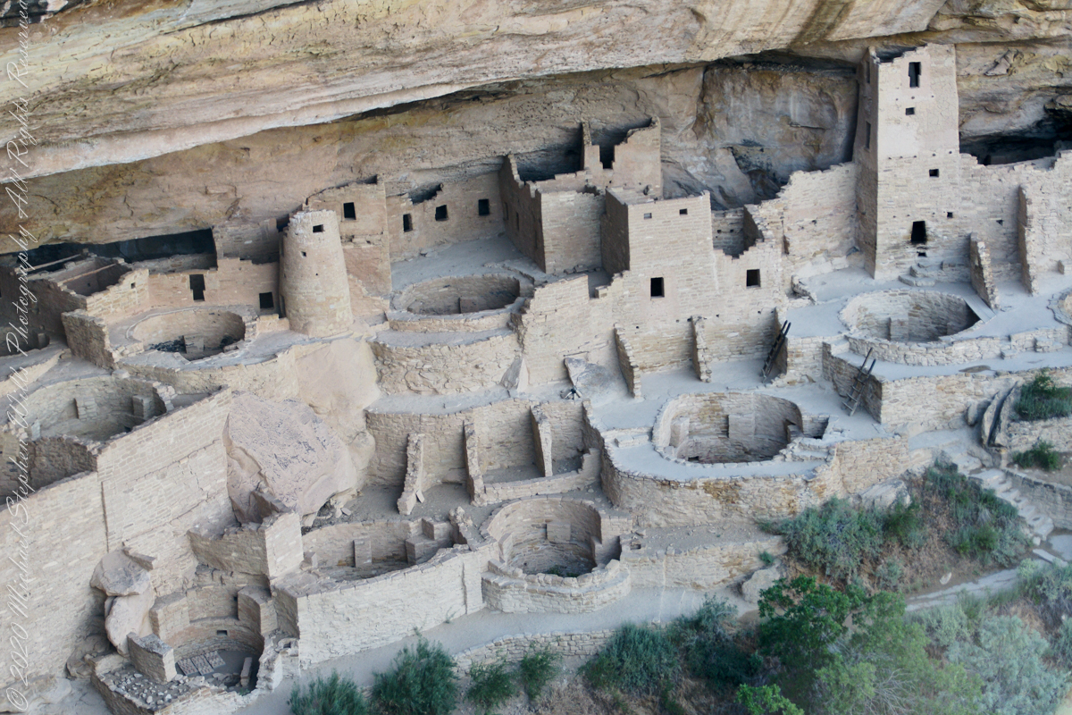
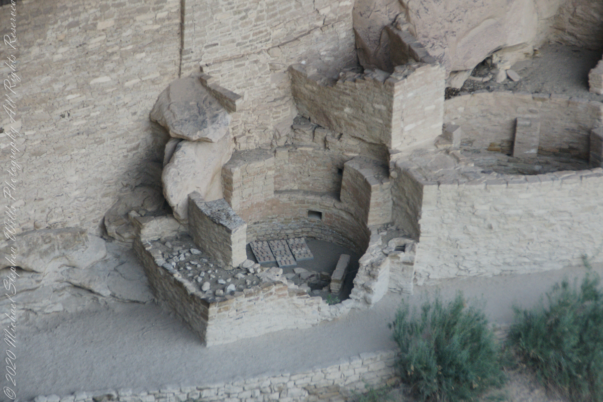
The Square Tower with four Kivas
Similar subterranean rooms are found among ruins in the North American South-West, indicating uses by the ancient peoples of the region including the ancestral Puebloans, the Mogollon, and the Hohokam.
A portion of Cliff Palace including many Kivas, the round and square towers.
Those used by the ancient Pueblos of the Pueblo I Period and following, designated by the Pecos Classification system developed by archaeologists, were usually round and evolved from simpler pit-houses.
Two Kivas, one with broken wall.
For the Ancestral Puebloans, these rooms are believed to have had a variety of functions, including domestic residence along with social and ceremonial purposes.
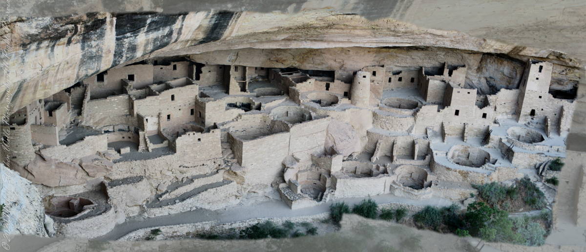
The entire Cliff Palace from the overlook, from a single wide-angle image.
During the late 8th century, Mesa Verdeans started building square pit structures that archeologists call protokivas. They were typically 3 or 4 feet (0.91 or 1.22 m) deep and 12 to 20 feet (3.7 to 6.1 m) in diameter. By the mid-10th and early 11th centuries, these had evolved into smaller circular structures called kivas, which were usually 12 to 15 feet (3.7 to 4.6 m) across.
Sipapu
Mesa Verde-style kivas included a feature from earlier times called a sipapu, which is a hole dug in the north of the chamber that is thought to represent the Ancestral Puebloans’ place of emergence from the underworld
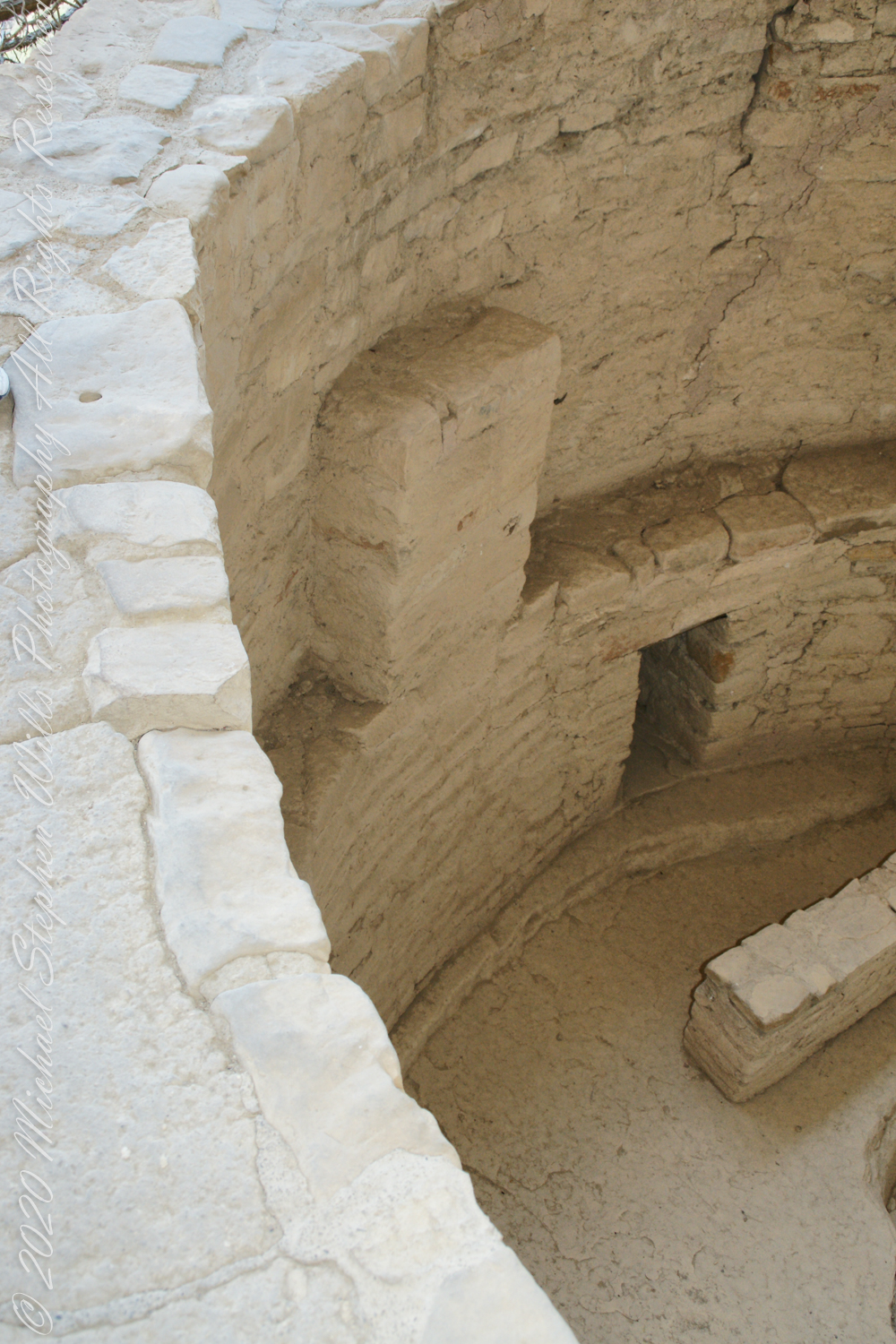
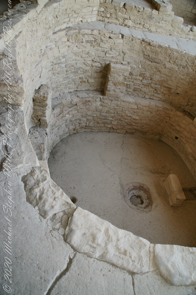
Here is a close-up of the kiva floor of the Balcony House.
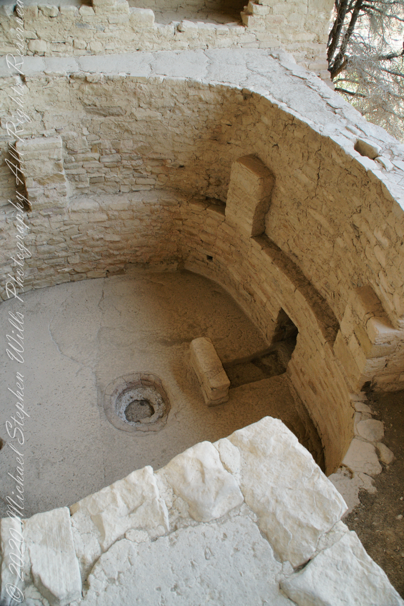
Balcony House Kiva
The sipapu is the smaller pit in the floor to the left (north side) and partially blocked by the kiva wall. The larger is a firepit. The small wall to the right is placed to deflect airflow from a floor vent.
Balcony House Kiva, to the right is the floor vent in wall and deflector stone. There is the firepit and a tiny portion of the sipapu at the left edge.
I count 14 Kivas in the Cliff Palace panorama, including some with broken walls.
What is the Connection, if any, between Omphalos and Sipapu?
The global coordinate system was known to ancient Greeks, in fact they are credited with the discovery a system to locate any place on earth, an insight contained in myths of how Zeus founded Delphi as the “center of the world,” the place from which divinity irrupts, by setting two eagles at opposing ends of the world to fly, starting at the same time, same speed, the central world point identified by where the eagles’ paths crossed.
Bronze Coin from the Ptolemaic Kingdom of Egypt, reign of Ptolemy VI 2nd Century BC with the head of Zeus on one side and double eagles riding a thunderbolt on the other
To signify Delphi as this center a religious stone artifact, called an omphalos, was placed.
Most accounts locate the Delphi omphalos in the adyton (sacred part of the temple) near the Pythia (oracle). The stone sculpture itself (which may be a copy) is there to this day. The surface is a carving of a knotted net, the center hollow and widening towards the base. The omphalos represents the stone which Rhea wrapped in swaddling clothes, pretending it was newborn Zeus, in order to deceive Cronus. (Cronus was the father who swallowed his children so as to prevent them from usurping him as he had deposed his own father, Uranus).
The omphalos stone was believed to allow direct communication with the gods. Historians theorize the stone was hollow to allow intoxicating vapors breathed by the Oracle (priestess) to channel through it. However, understanding of the use of the omphalos is uncertain due to destruction of the site by Theodosius I and Arcadius in the 4th century CE.
That leaves us with the word, omphalos. In Greek the original meaning is navel, the anatomical reminder to humans of their source.
Comparing and contrasting these terms used by cultures separated widely by geography and time:
— sipapu is a religious symbol of the place ancestral peoples irrupted, born, into this world, emerging from the earth. From my readings, the word sipapu is a direct reference to the symbol. There are many sipapu, small holes in the floor of kivas (timetimes a hole in a wooden plank), representing a single place.
— omphalos is a religious symbol of where the divine irrupts into the world, from the earth, with direct linguistic natal (birth) associations. A single omphalos stone designates a single place.
Copyright 2023 Michael Stephen Wills All Rights Reserved











 Michael Stephen Wills Photography