Here is the south end of Cayuga Lake on a bright November afternoon. Stewart Park is enjoyed by Ithacans year round.
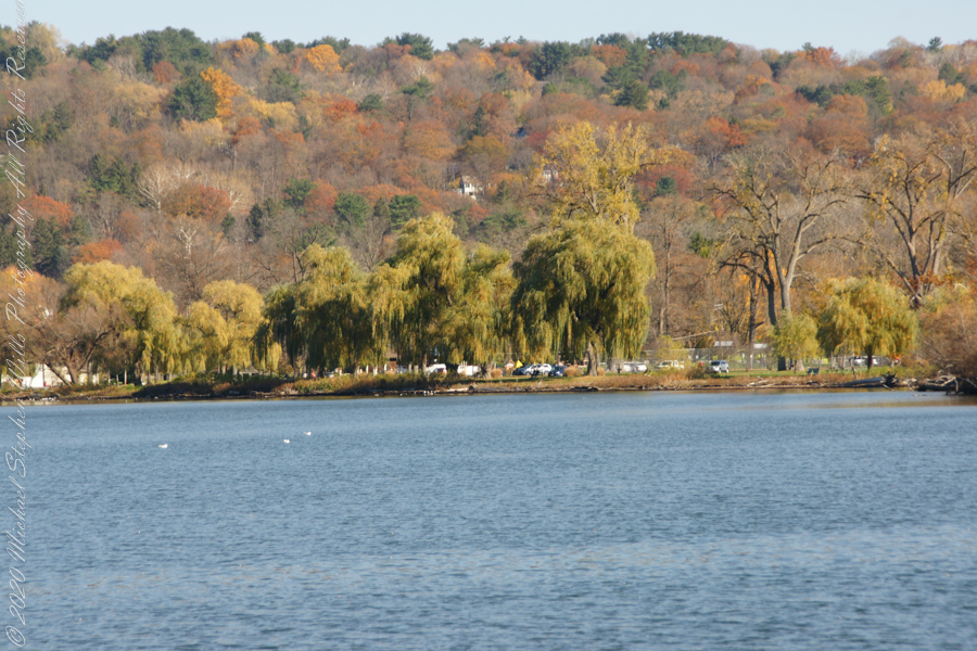
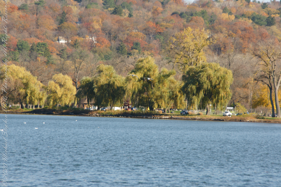
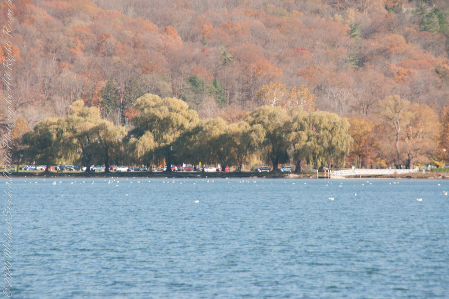
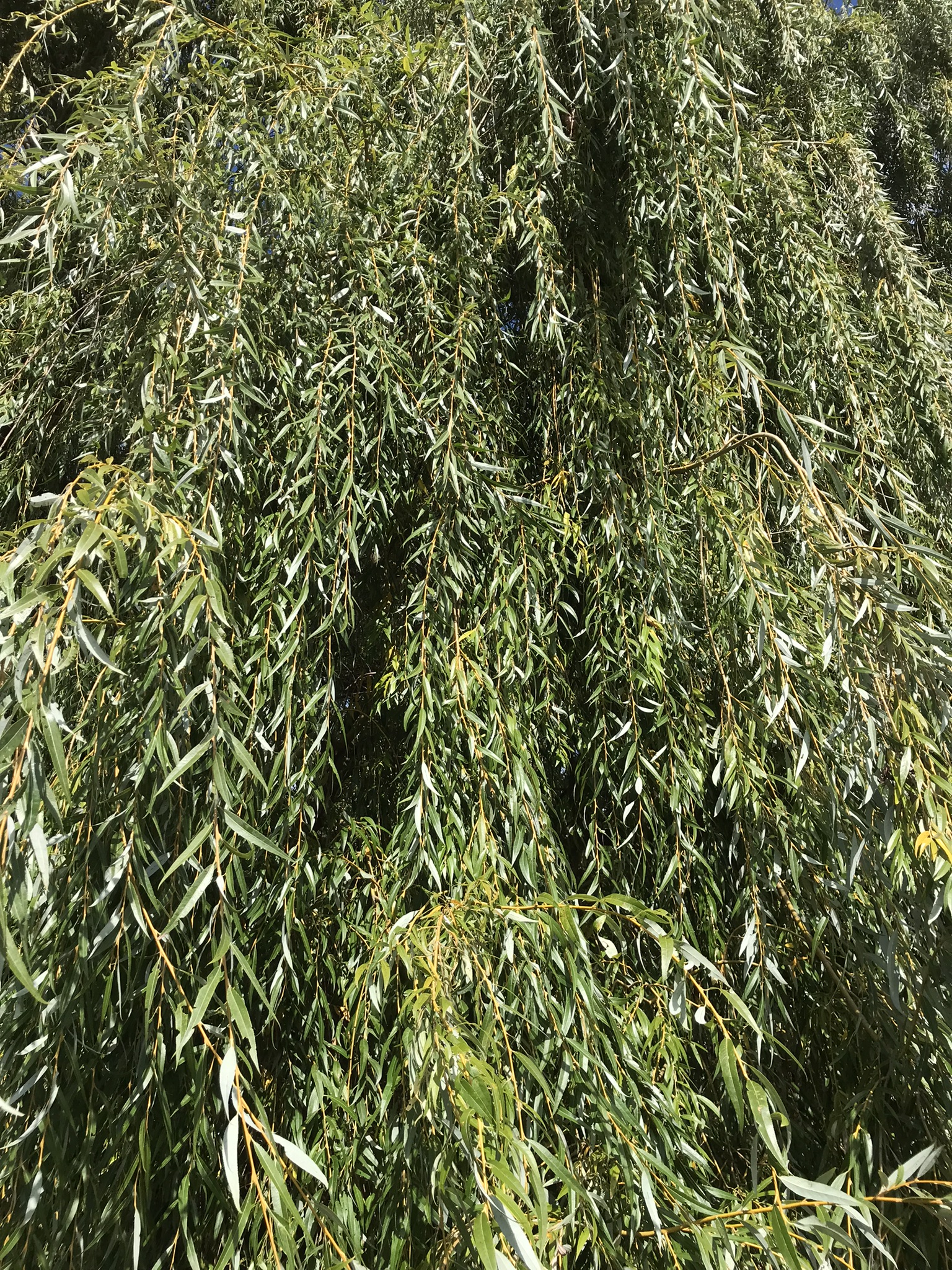
Everyone is a fan of the Willows framing the lake views.
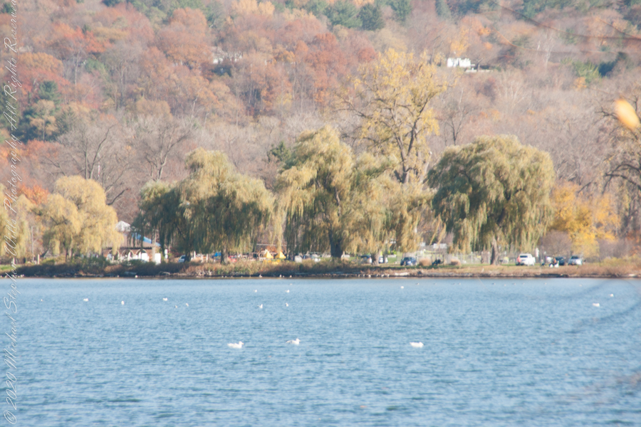
Can’t get enough of Stewart Park..
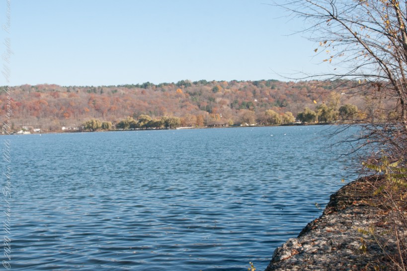
An unzoomed view, to give an idea of the distance across the water.
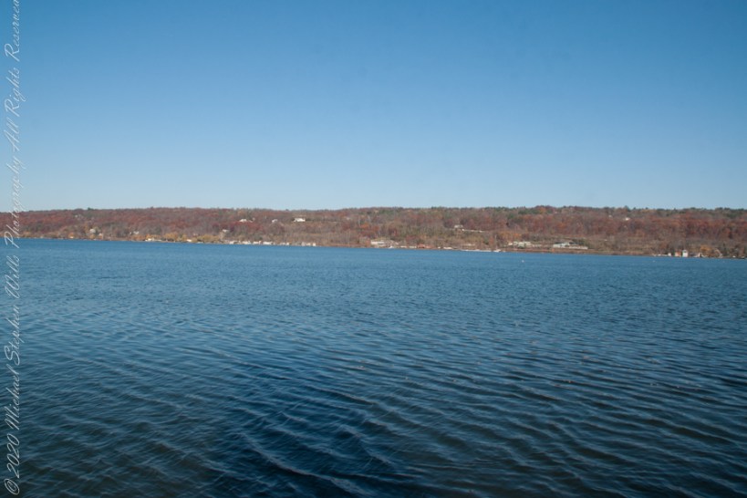
Pam and I have great memories of sailing this stretch from our years of membership in Cornell Family Sailing.
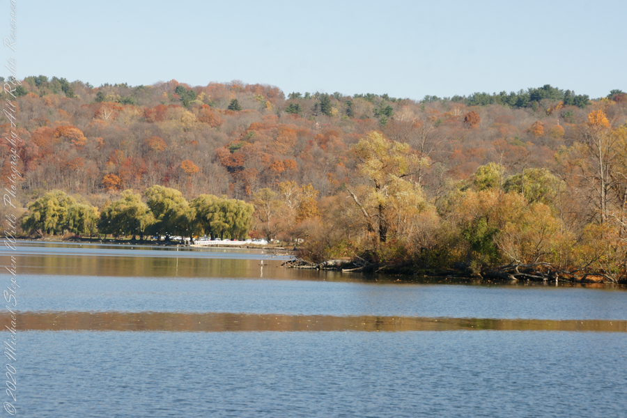
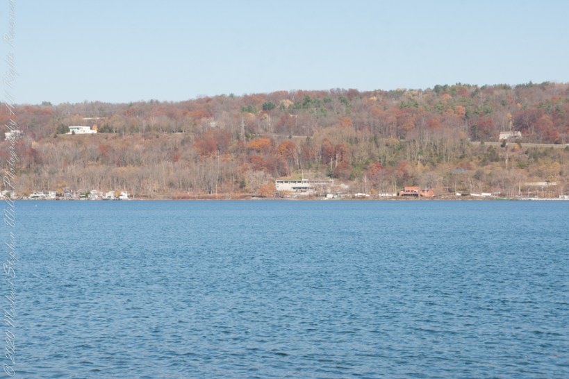
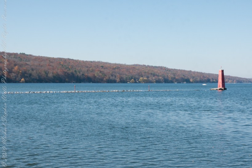
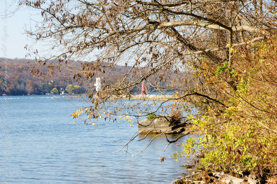
The east lake shore.
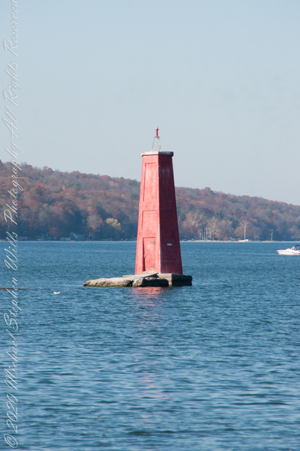
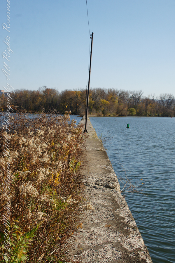
The West Lake Shore. This photograph captures the electric line that powers the Red Tower light. Seagulls enjoy that causeway…I’ve never seen humans walk it.
Copyright 2022 Michael Stephen Wills All Rights Reserved
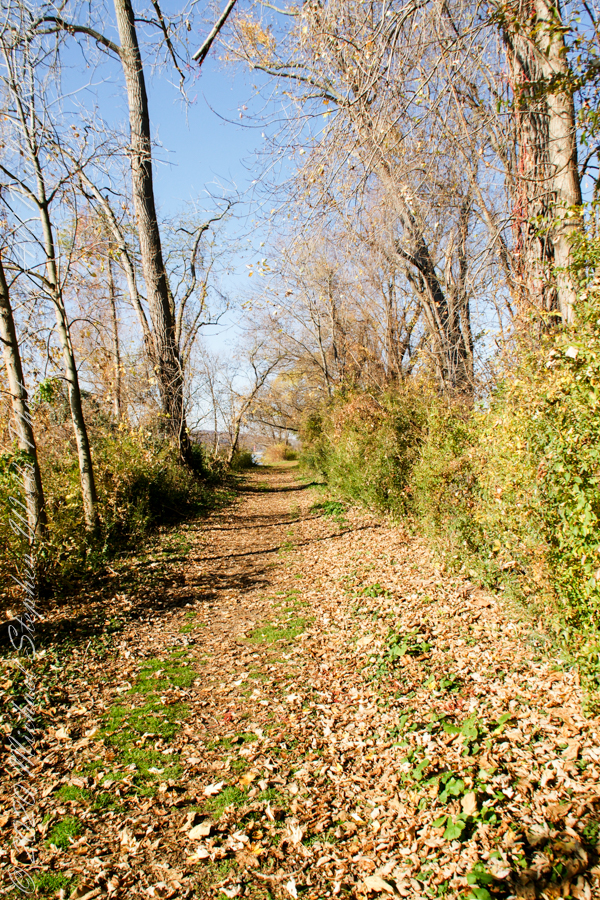
Post 1 of Lighthouse Point provided an impression of our hike along the golf course, from there we turned onto this wooded path on the shores of Cayuga Inlet.
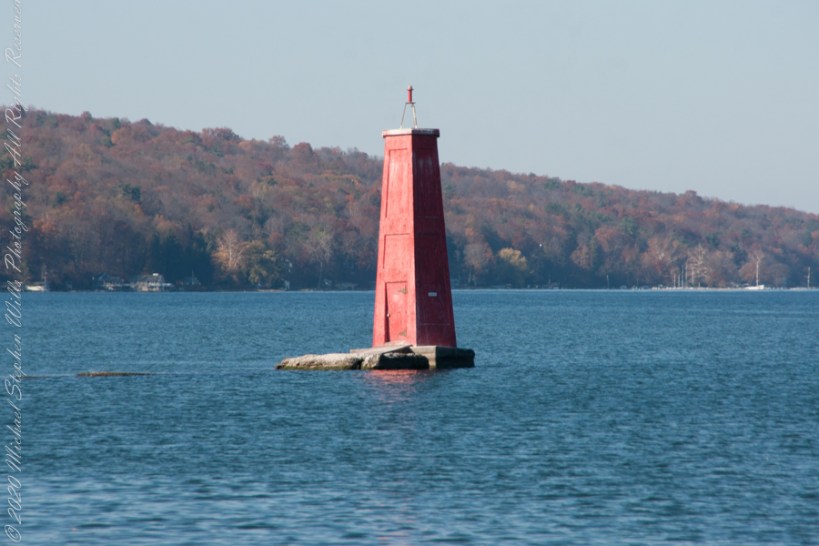
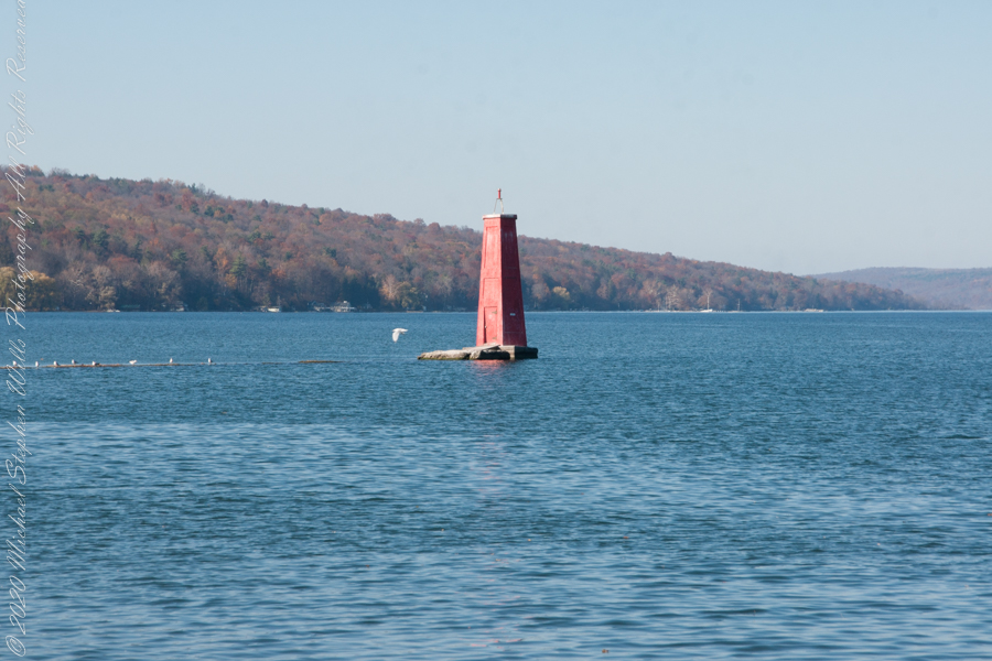
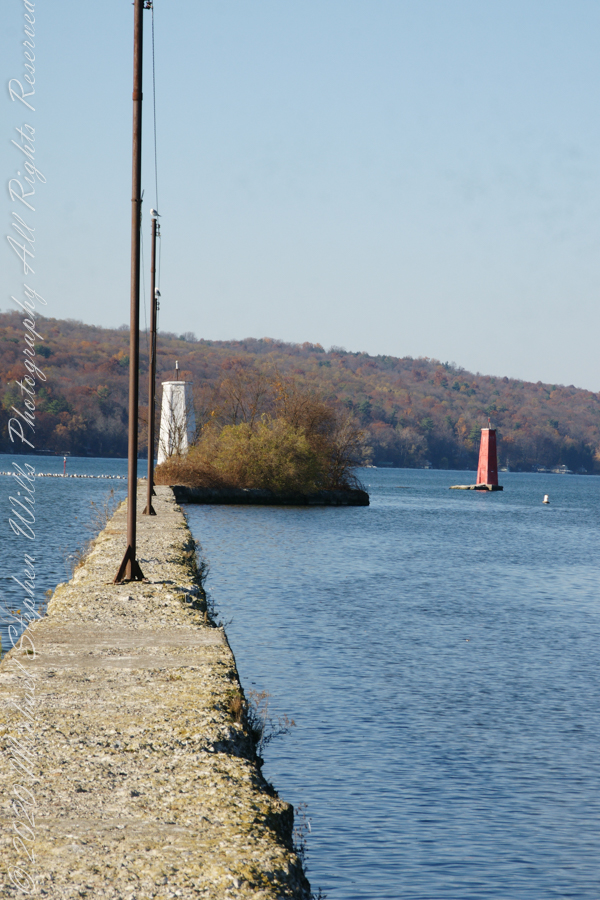
First view of the paired Lighthouses marking the Cayuga Inlet. The white tower is connected to shore by a causeway something less than a quarter mile in length. The red tower marks the other side. These navigation guides allow boats to safely enter the channel exiting the south end of Cayuga Lake. The Erie Canal connects to the north end, allowing access to the Great Lakes and, eventually, the Atlantic Ocean.
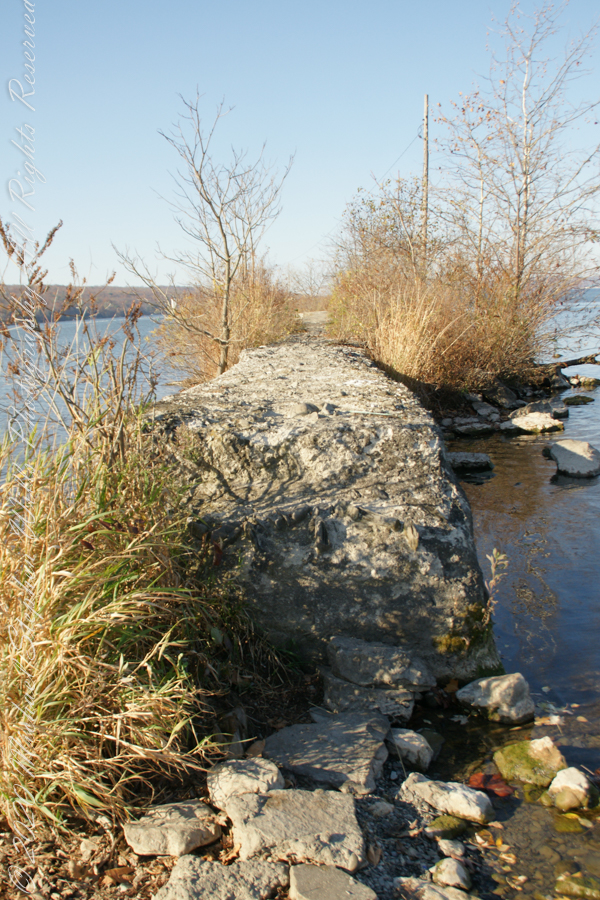
The 4-foot-high step up to the concrete causeway path is an insurmountable obstacle to some. I managed to clamber over.
Looking back to shore….
Rusted iron poles support the electric line for the white tower. They remind me of ship masts.
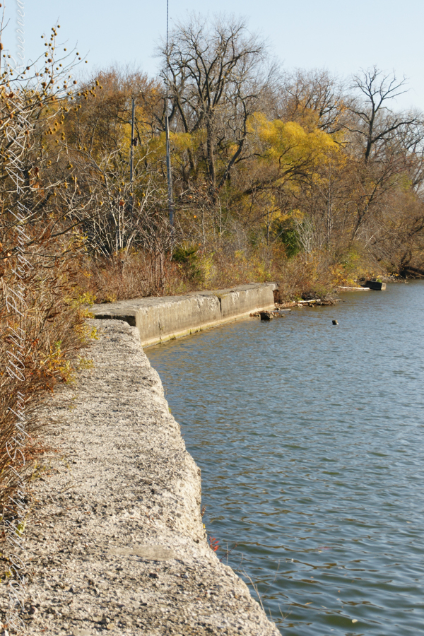
The straight shot back to shore.
Copyright 2022 Michael Stephen Wills All Rights Reserved
November 3rd, 2022, Blessed Us with an azure sky, an Indian Summer Day. During our walks on Cass Park Shorts we’d look across to see hikers emerging from the gold course to walk the Lighthouse causeway. After decades of longing, these Ithaca residents took upon themselves the adventure of finding the path and walking it. This series of posts documents the walk and some treasures discovered on the way.
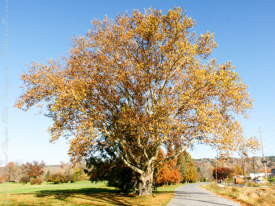
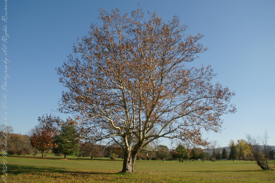
Sycamore, aka Plane Tree
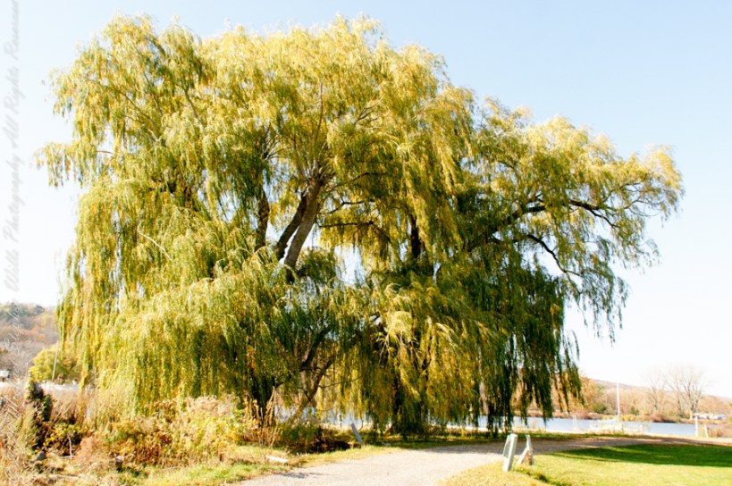
Willow on Cayuga Inlet and Newman Golf Course
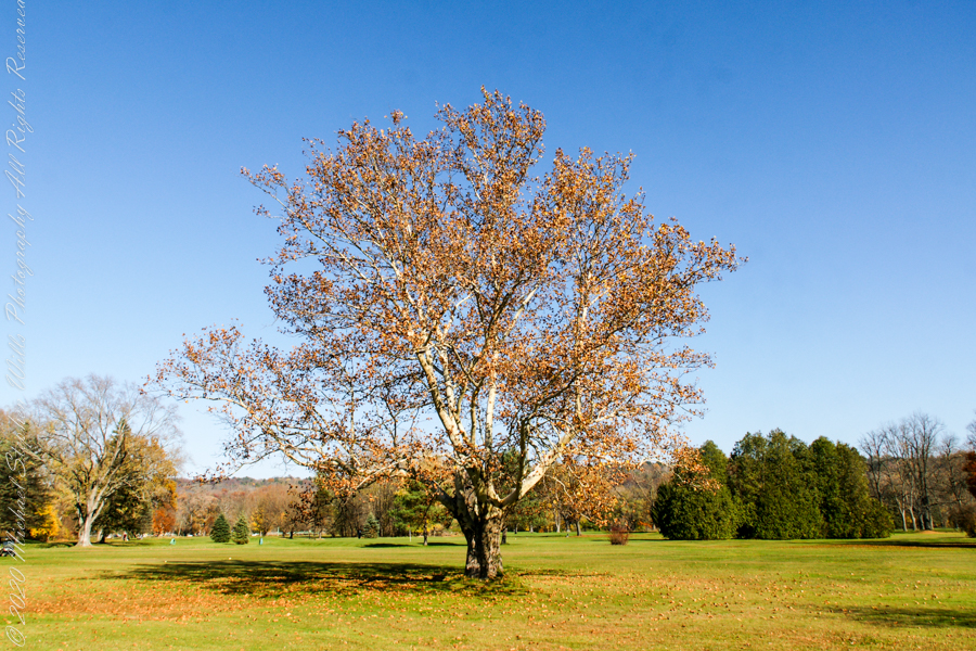
might be another Sycamore on the golf course
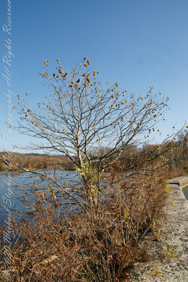
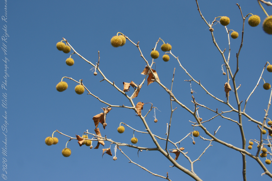
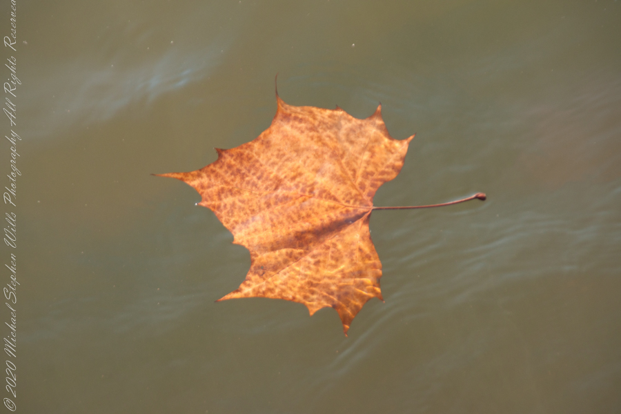
An uncultivated Sycamore sprouting from the causeway leading to the lighthouse “The reason Sycamores are also called “Buttonwood”. Children love to throw these seed heads at each other, sometimes “exploding”The reason Sycamores are also called “Buttonwood”. Children love to throw these seed heads at each other, sometimes “exploding” on impactSycamore leaf floating in Cayuga Inlet
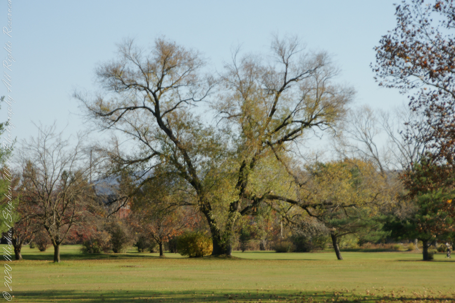
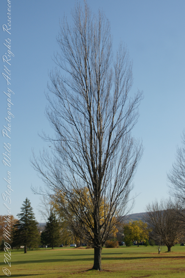
Unidentified tree on golf course
Unidentified tree on golf course
Unidentified tree on golf course
Copyright 2022 Michael Stephen Wills All Rights Reserved
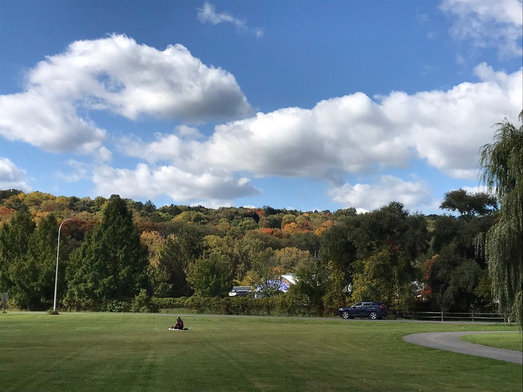
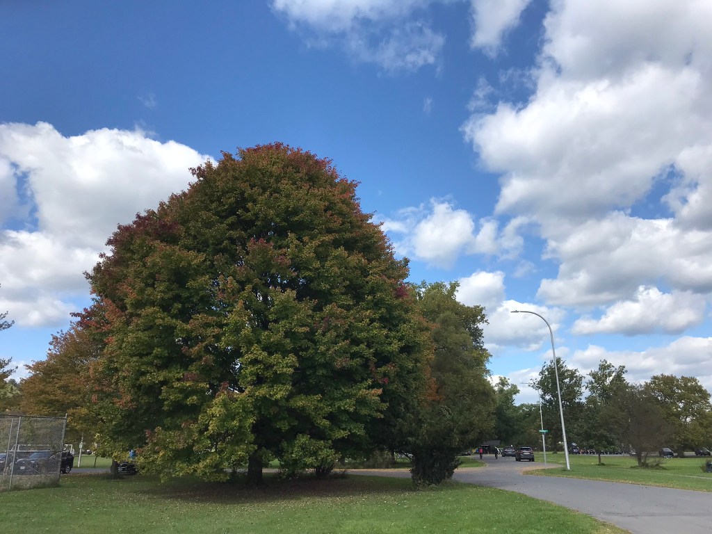
Pam and I arrived early to Cass Park for our grandson’s October afternoon soccer match, in time for a 2 mile walk on the generous footpaths. This is my impression of that time, from the IPhone 7’s camera.
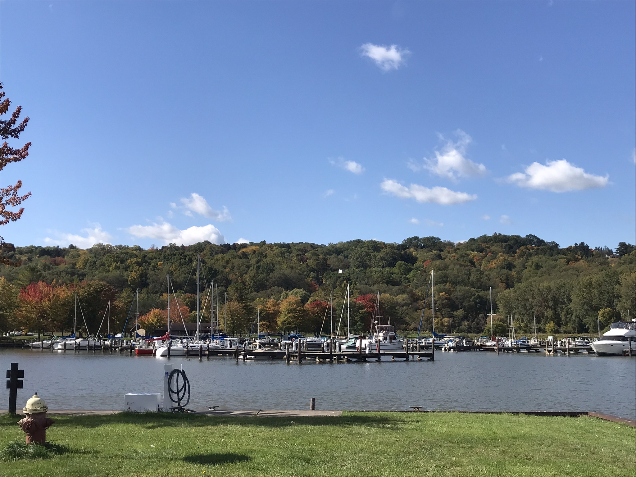
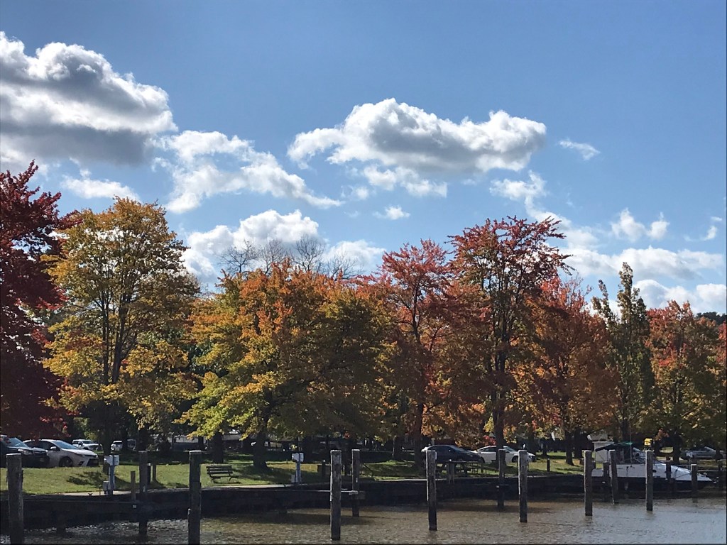
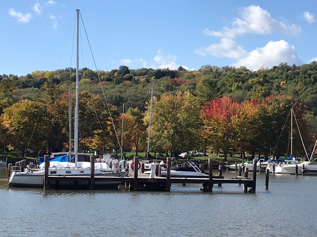
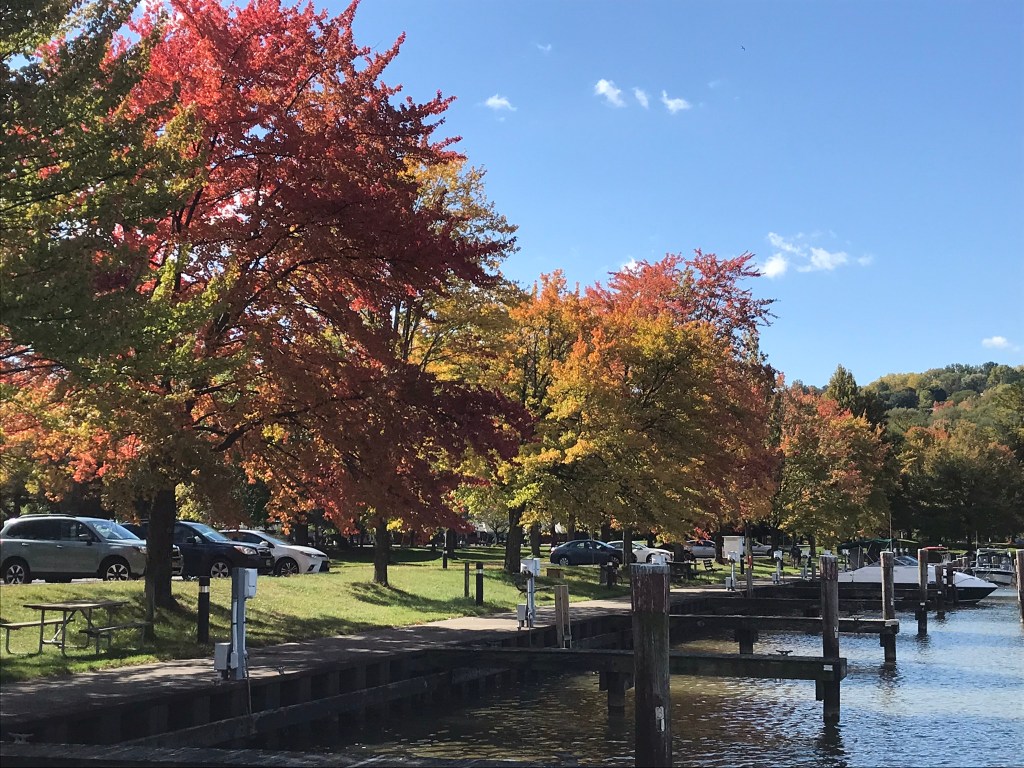
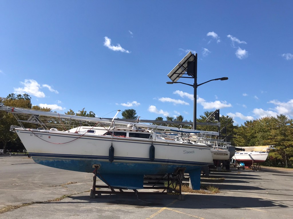
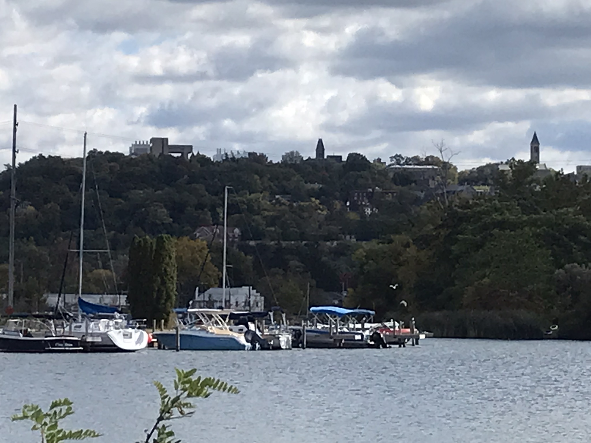
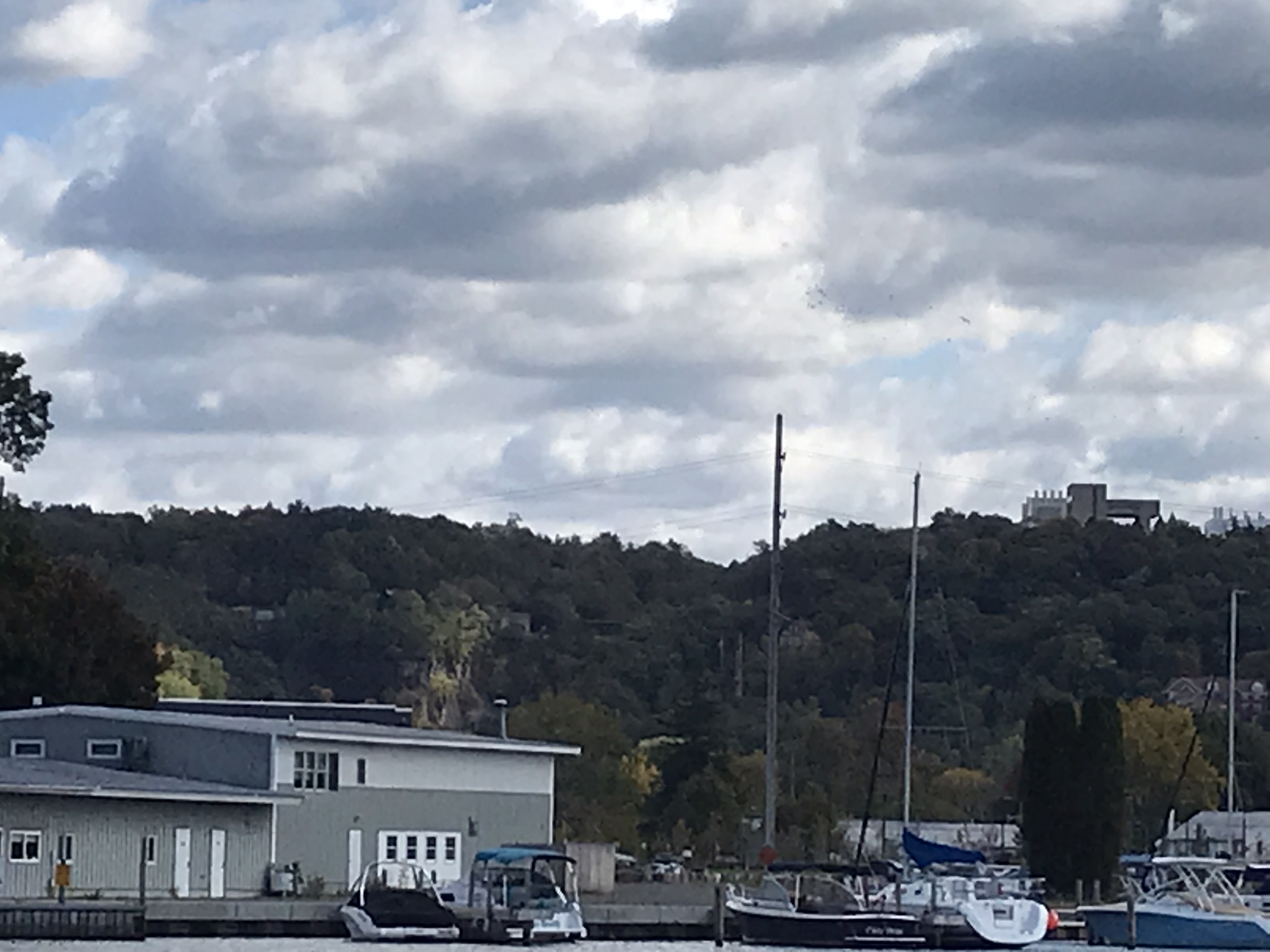
Around the marina on Cayuga Lake
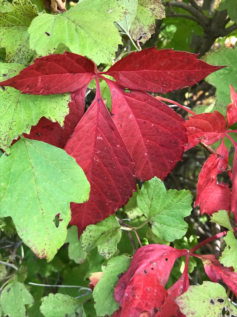
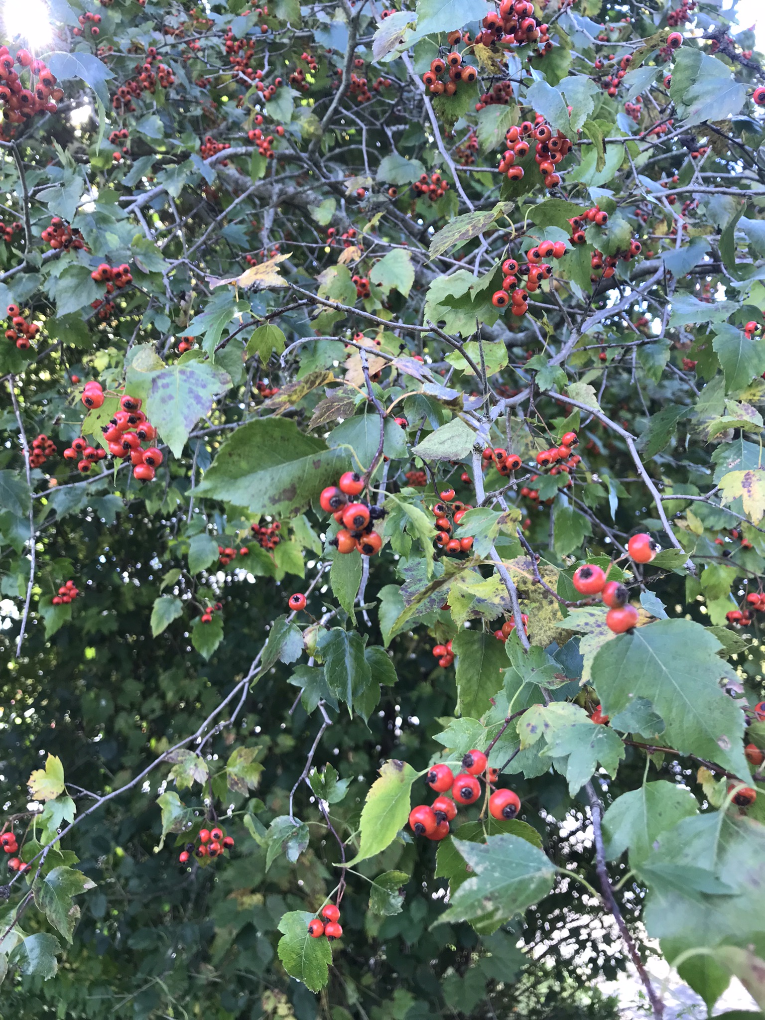
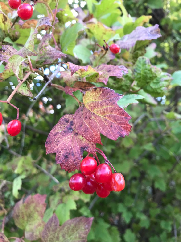
Red Accents
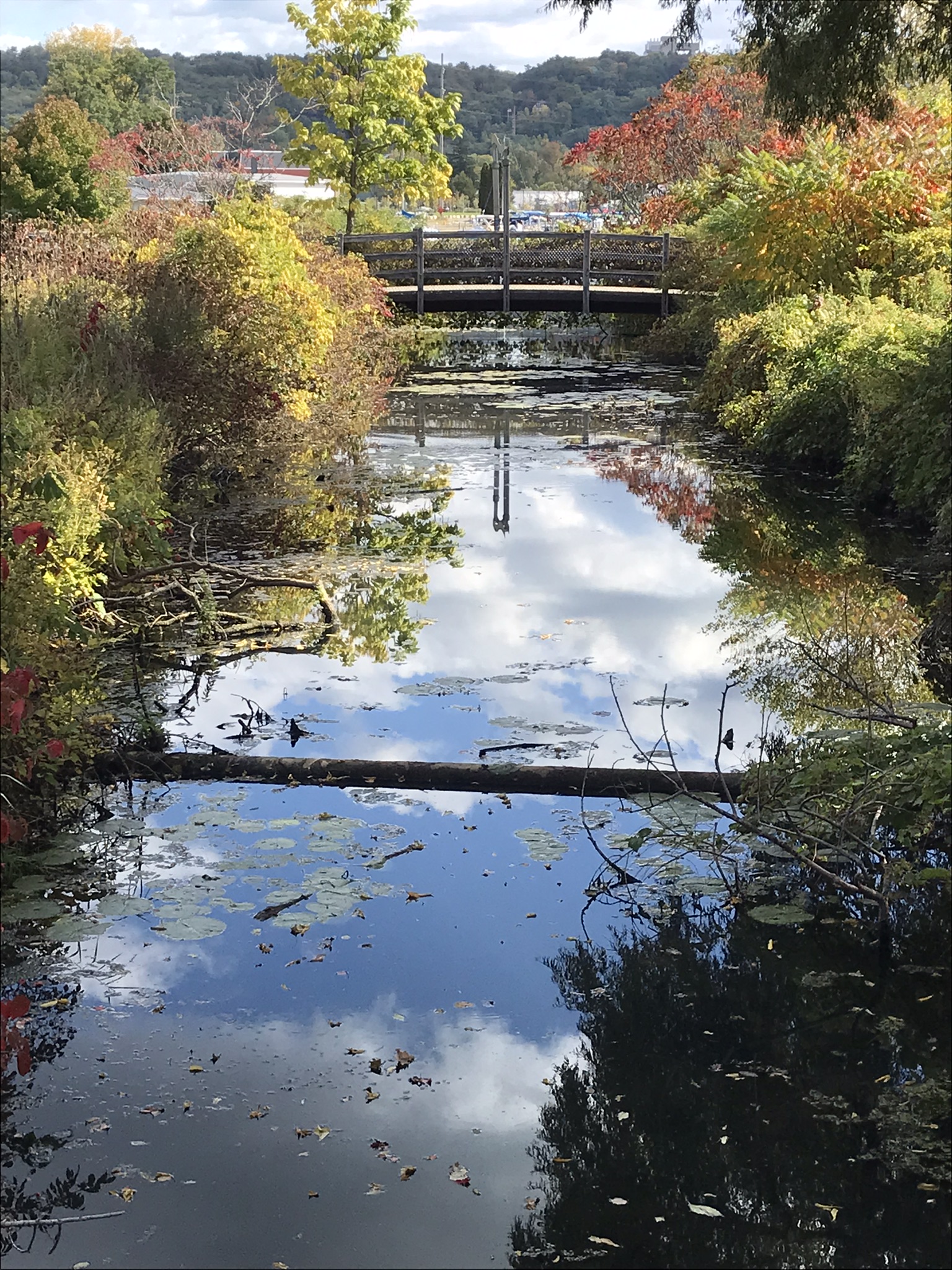
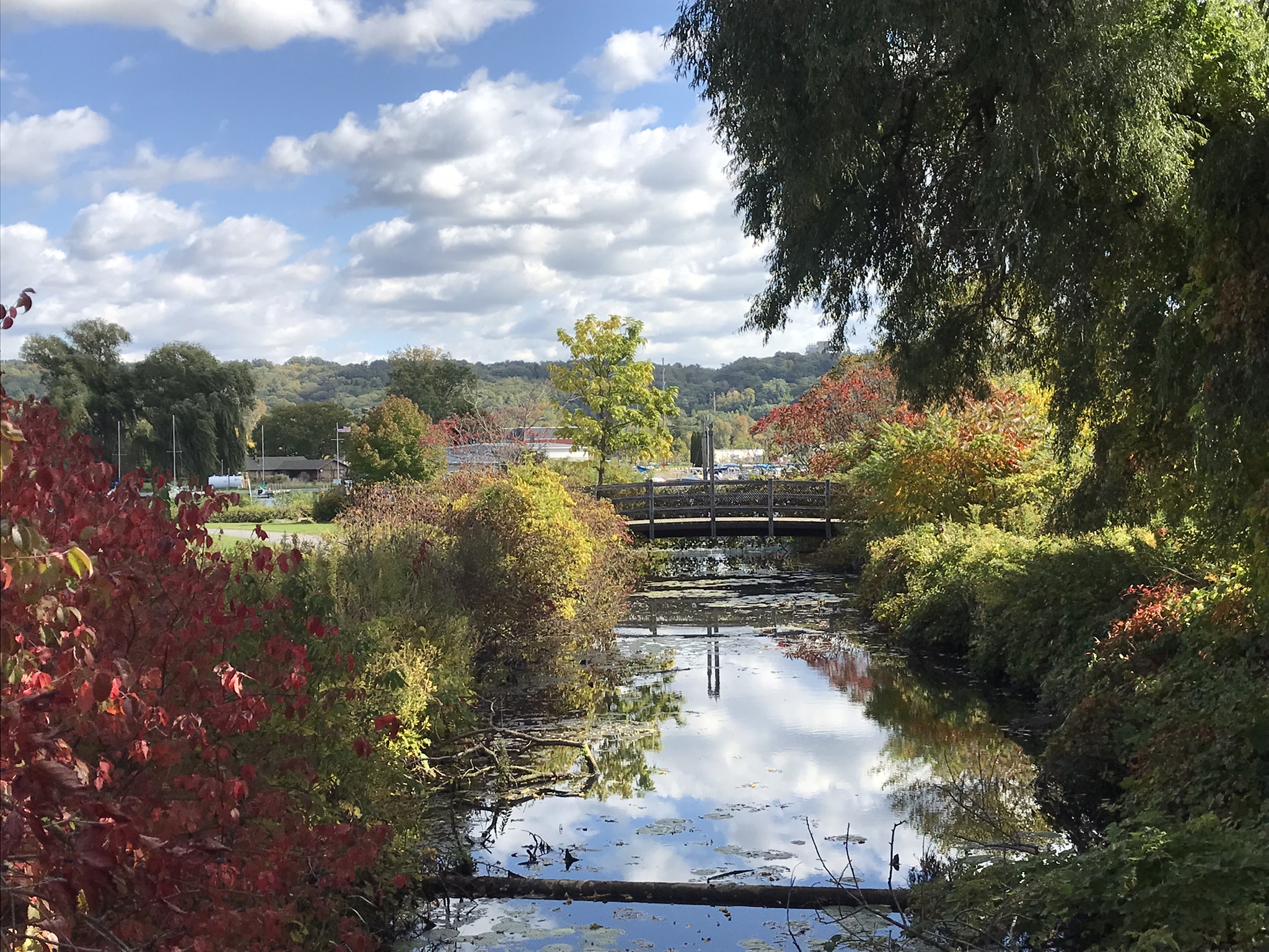
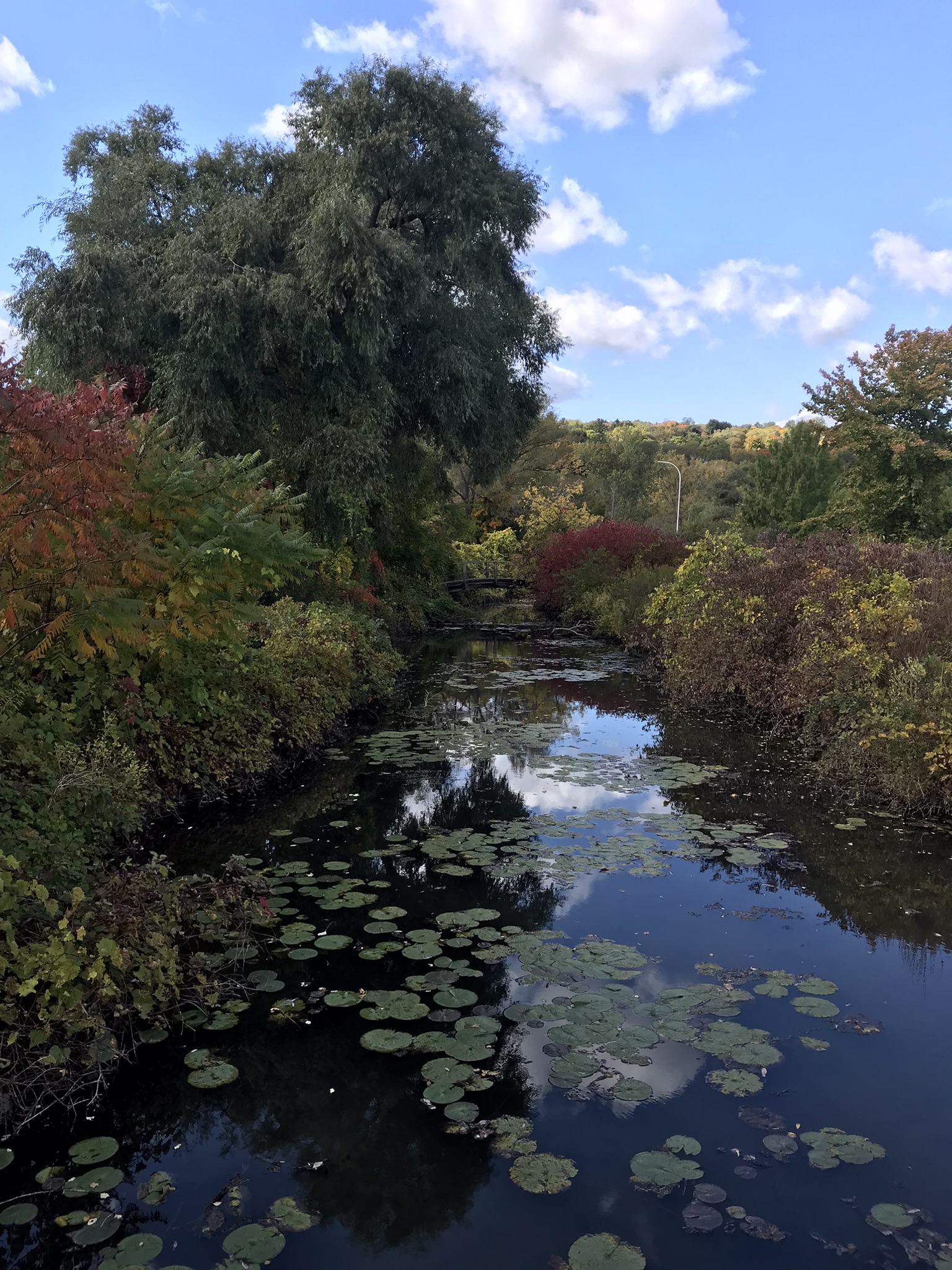
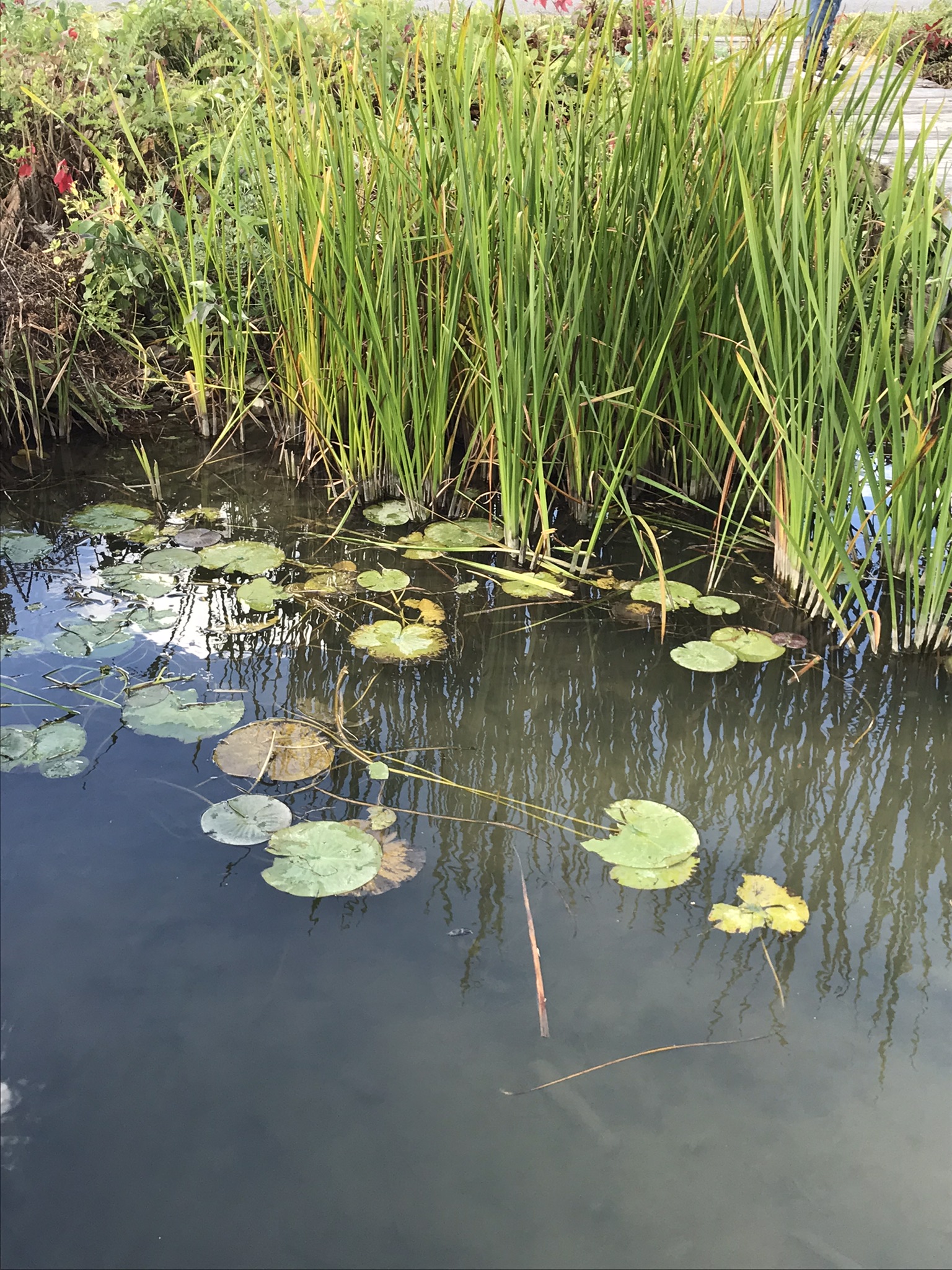
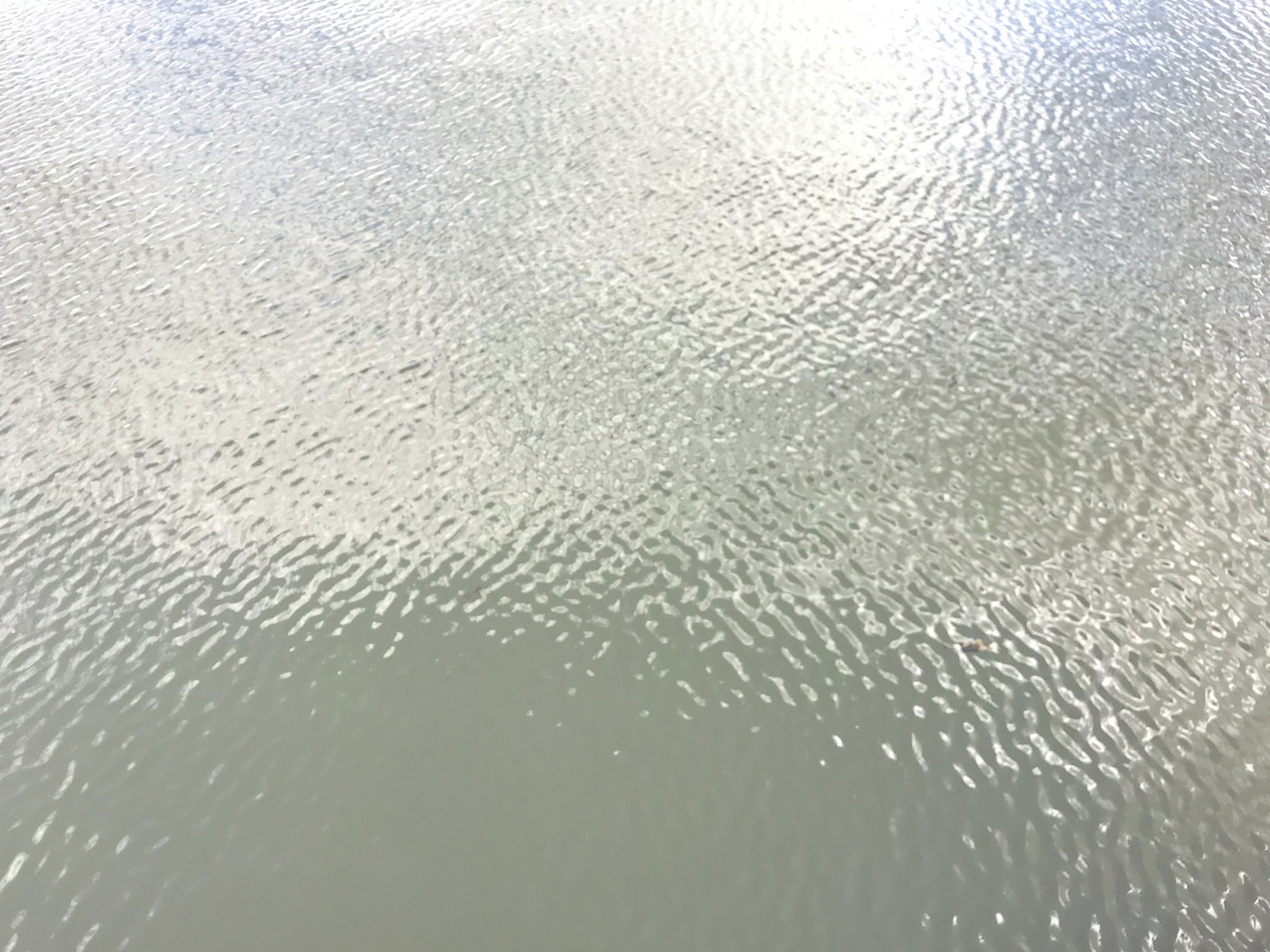
Watery Impressions from Linderman Creek flowing into Cayuga Inlet
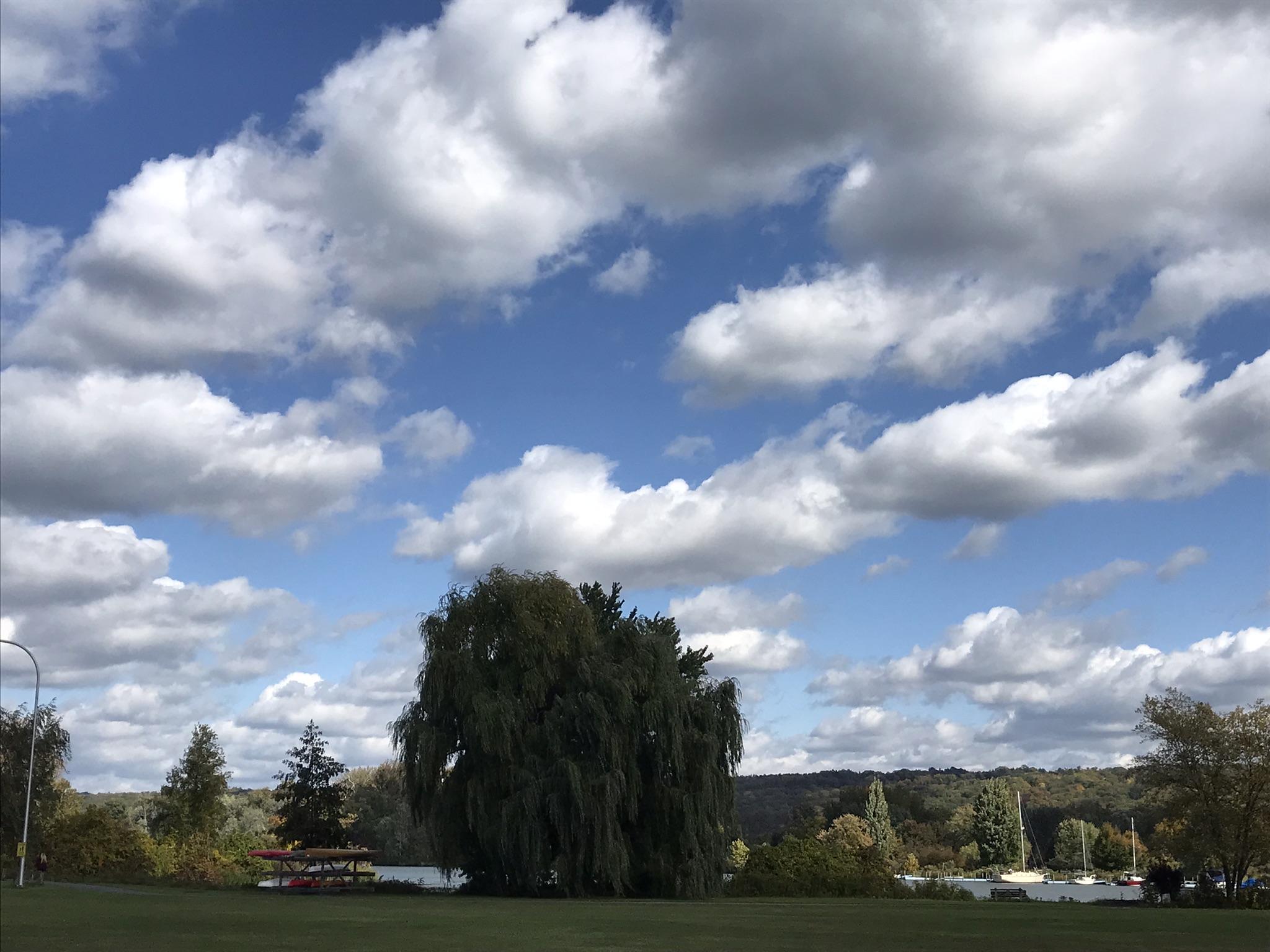
Trees and Our Sky
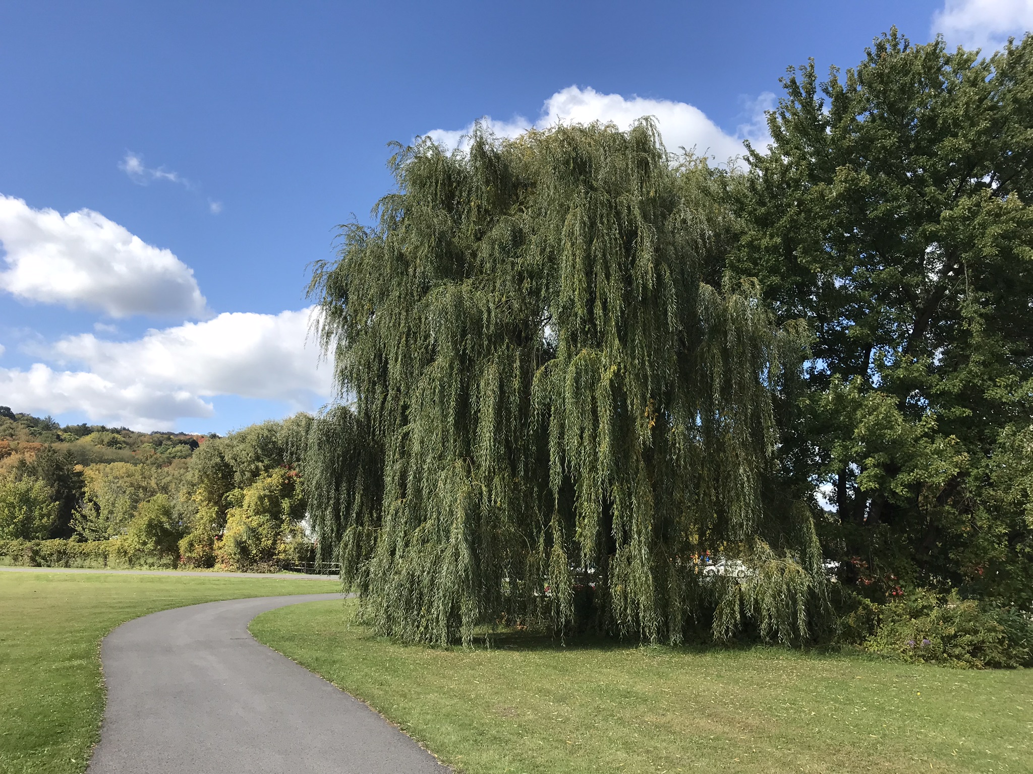
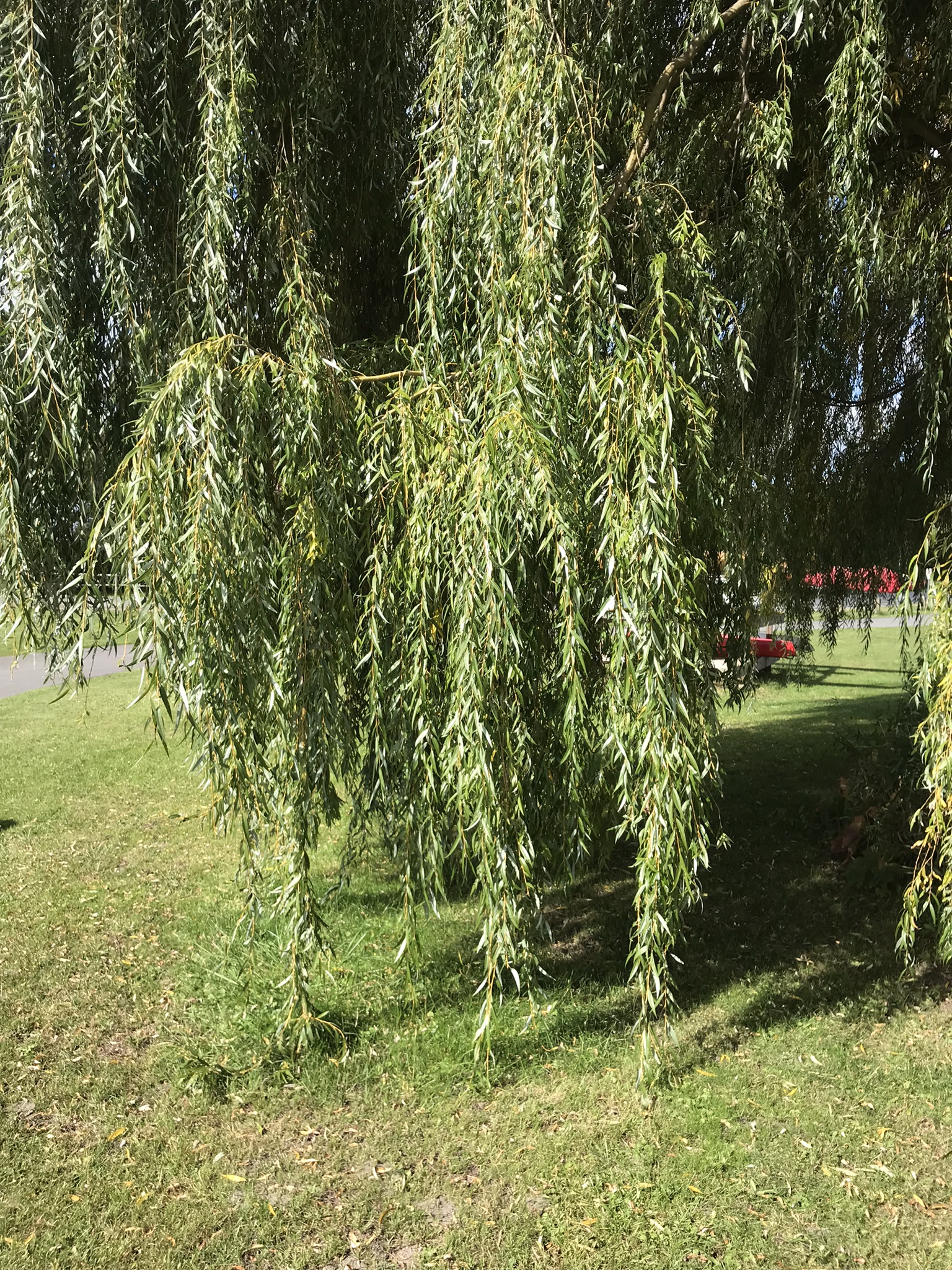
Gracious Willows Line the Cayuga Lake Inlet
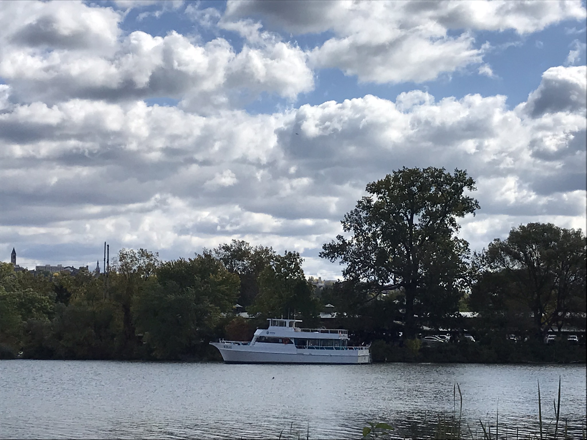
Cornell University on East HillLake Excursioin Heading Out from Farmer’s MarketCarl Sagan’s former study perched above Ithaca FallsView Across Cayuga Lake Inlet
A Packed Excursion Boat Under A Stunning Sky
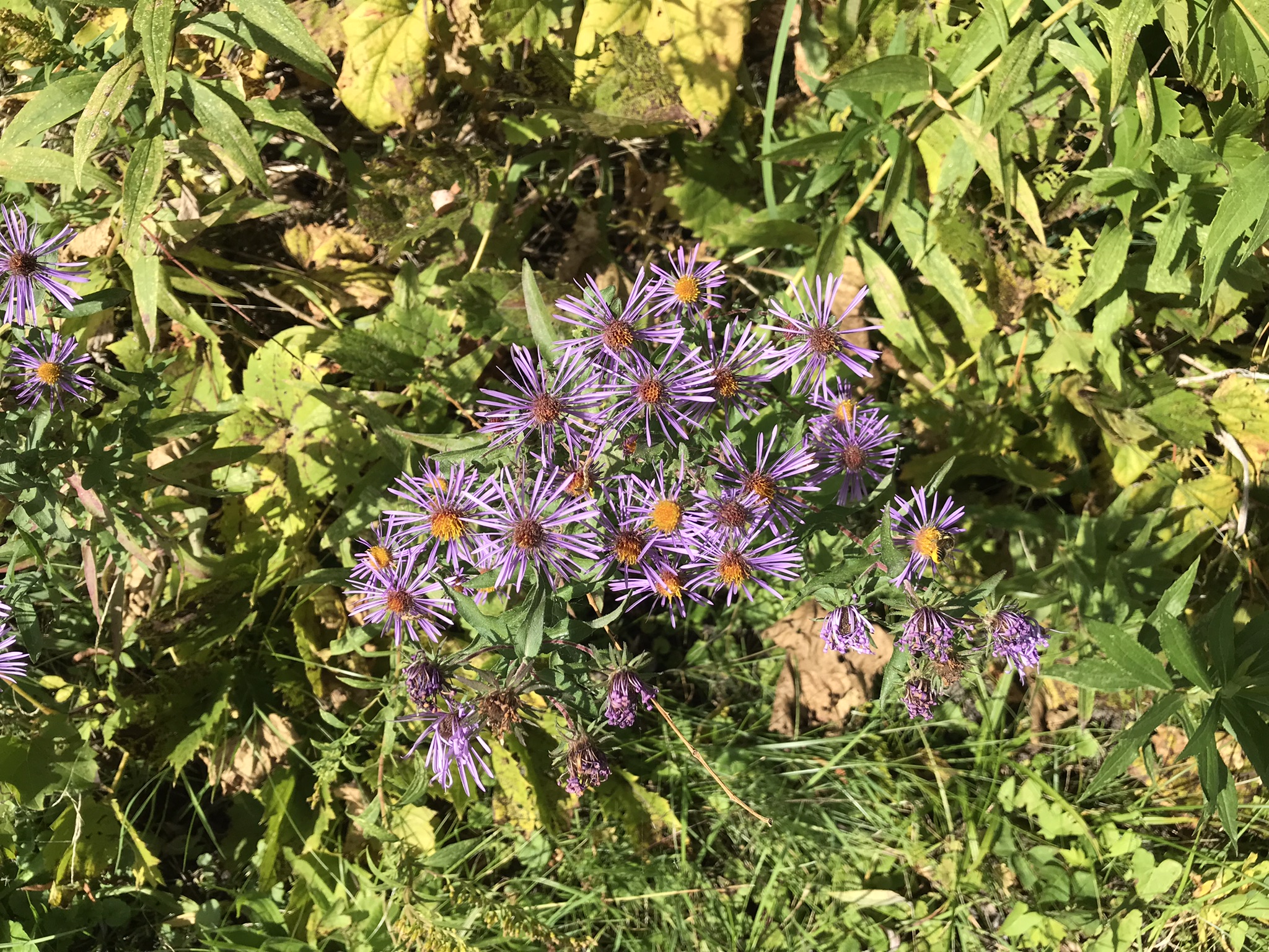
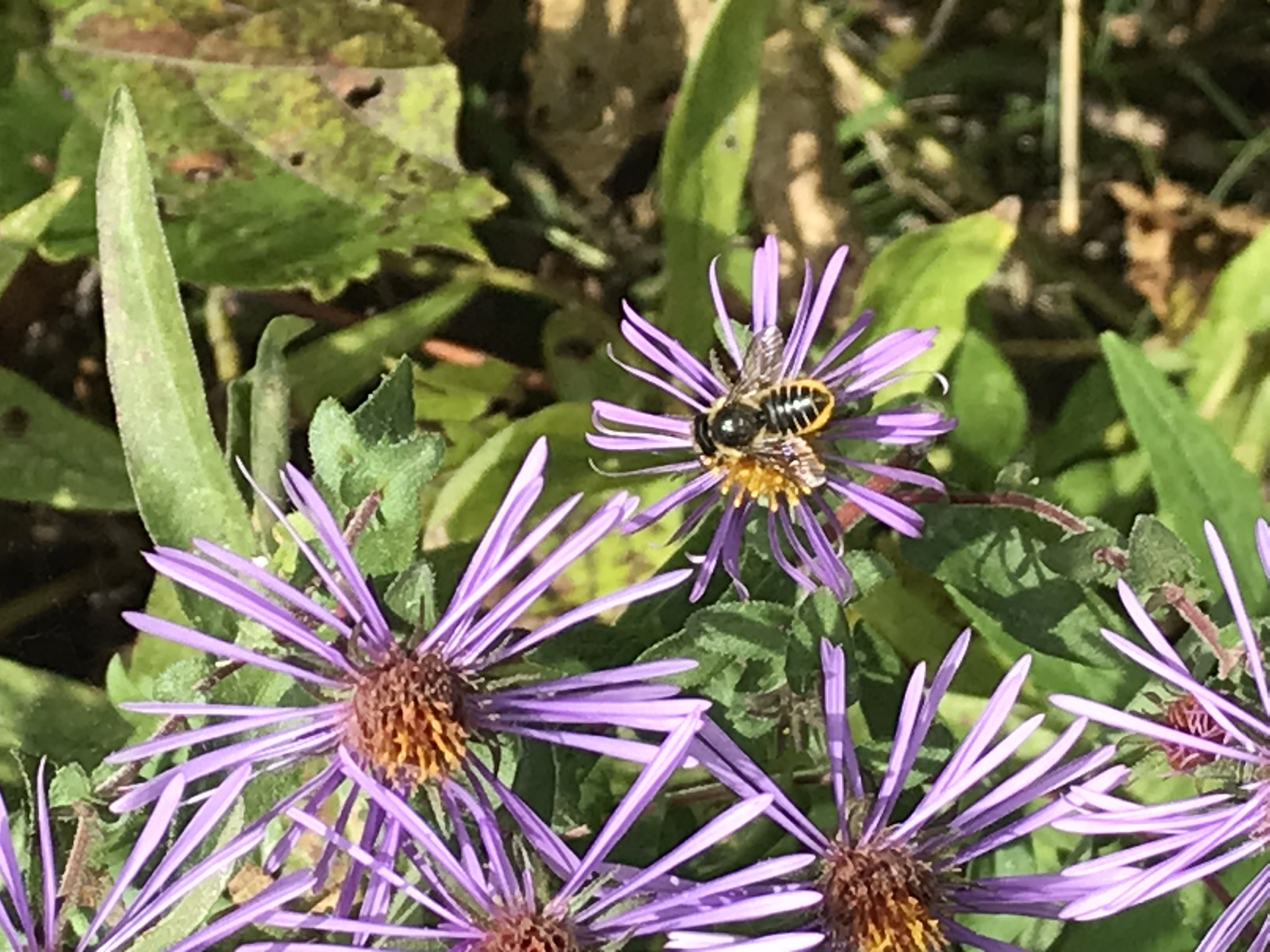
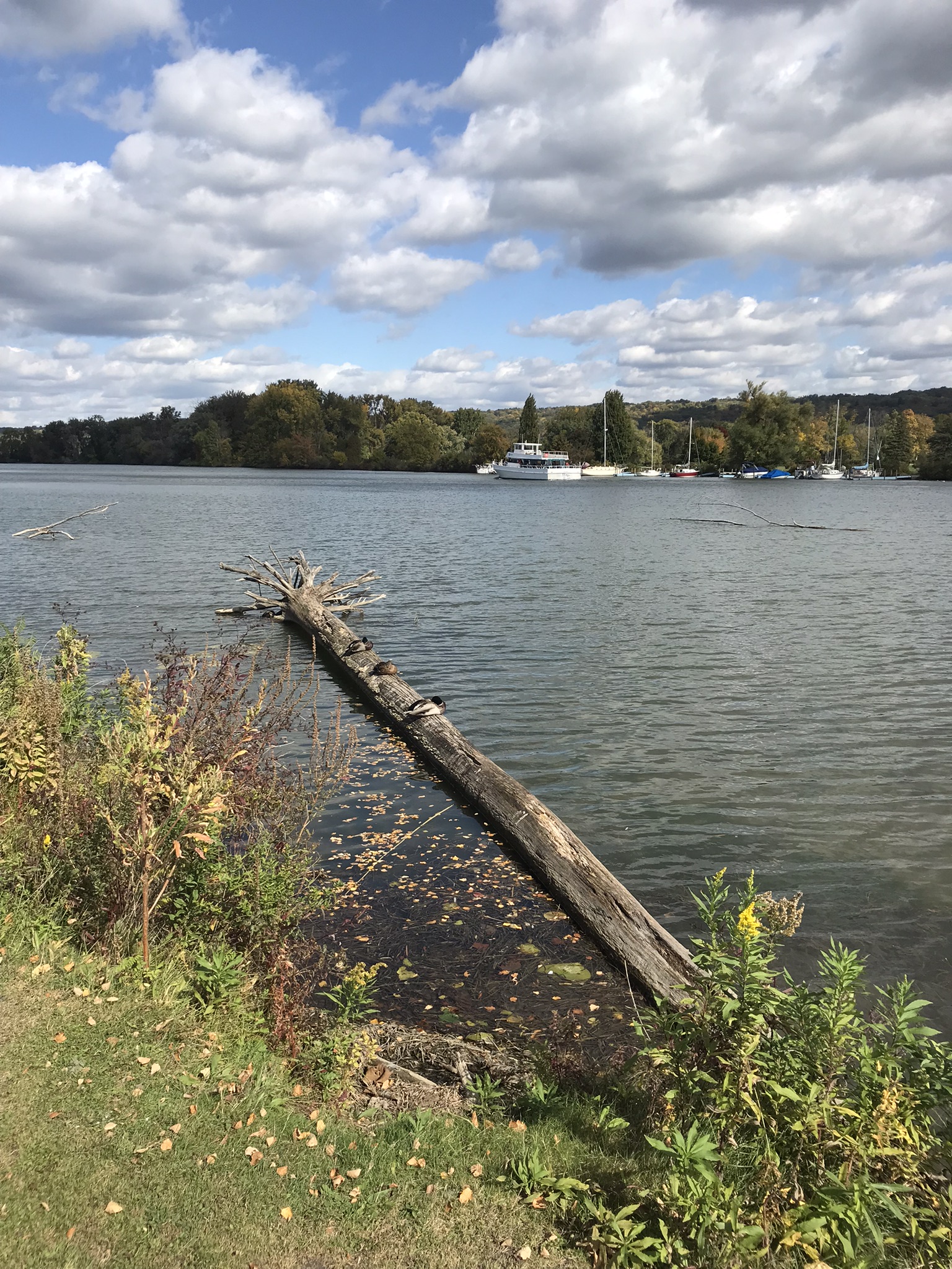
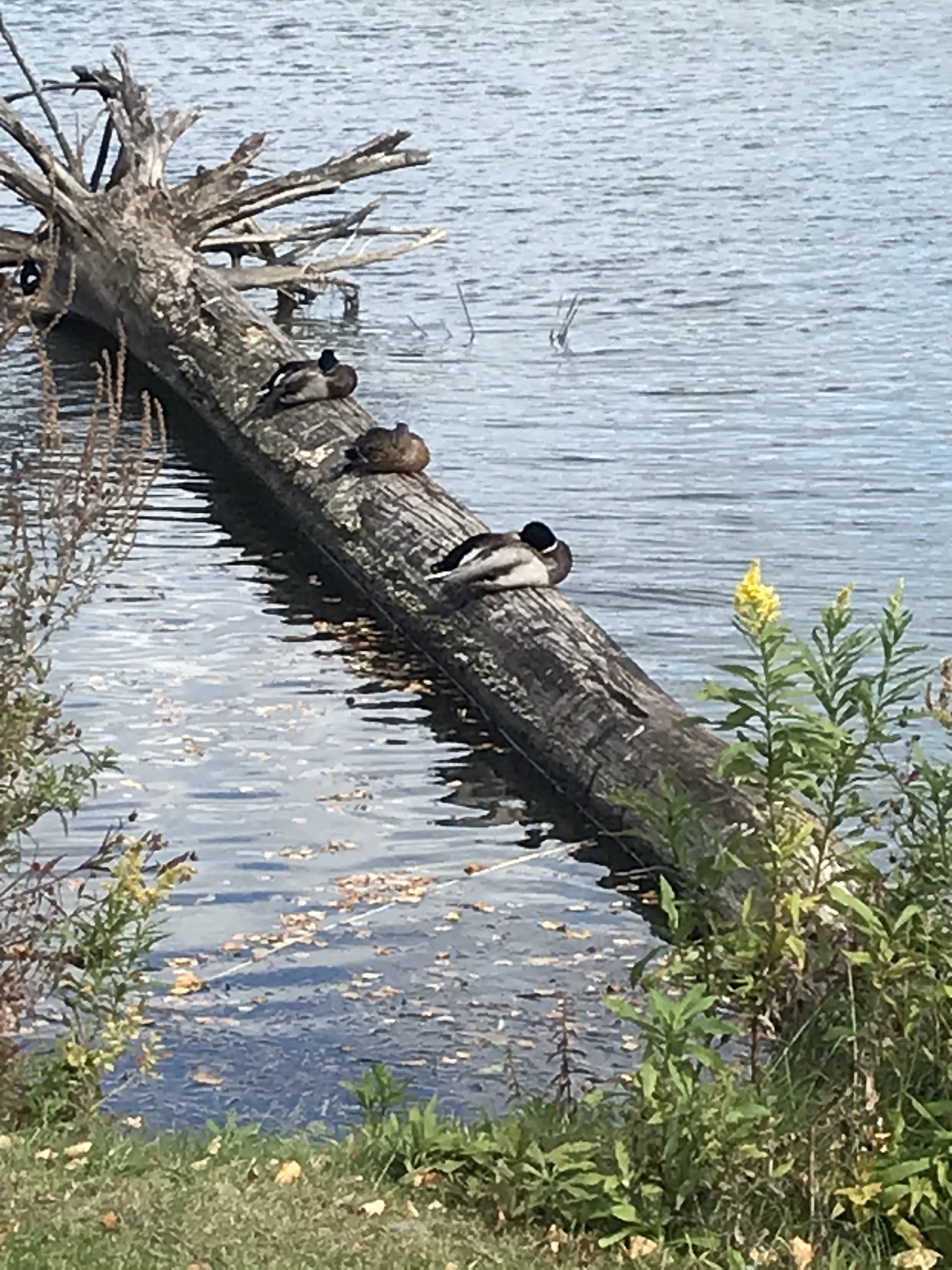
A Few Animals and a wildflower
This completes our Sunday afternoon walk around Cass Park, Ithaca, New York.
Copyright 2022 Michael Stephen Wills All Rights Reserved
Yesterday afternoon was bright, sunny enough for me to break out of the winter exercise routine for a walk around Taughannock Falls, a New York State Park 7.5 miles from the front door through farmland and small villages with views of Cayuga Lake.
The route around the gorge, following the North and South Rim trails with a side trip to the edge of Cayuga Lake is 3 miles with a modest elevation change of about 500 feet.
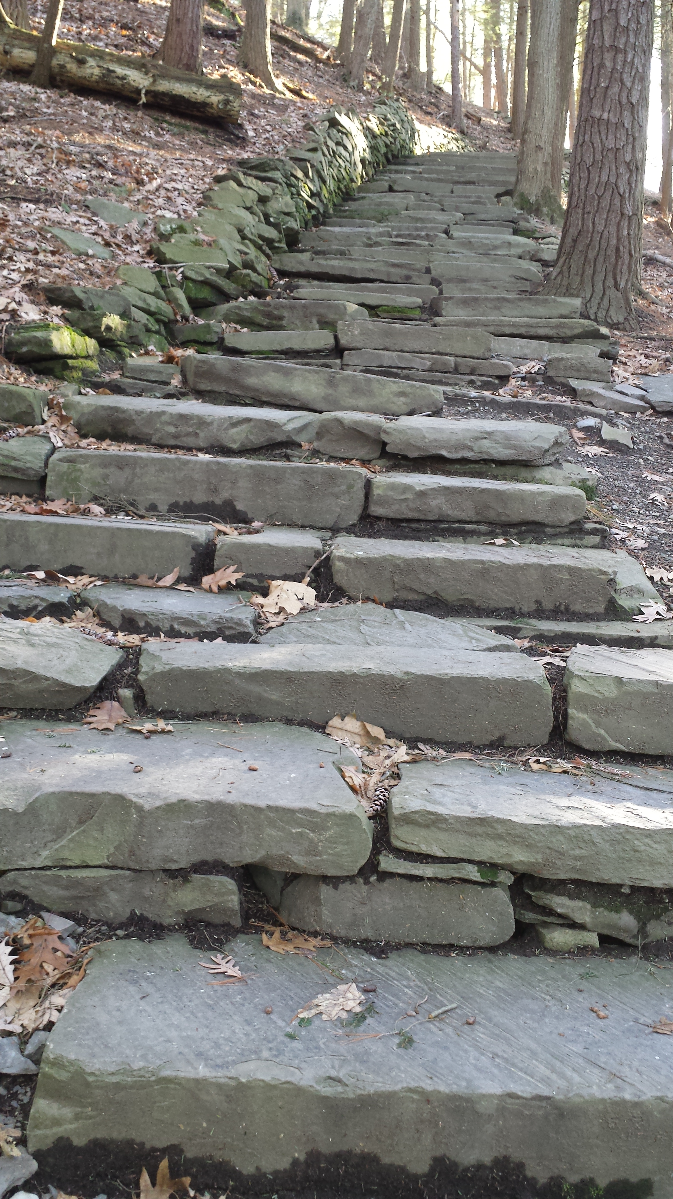
My route began at the top with a cell phone, from the Falls Overlook, there is a gradual slope, until the end where flights of steep stone steps end at the gorge floor. The steps were free of ice and snow.
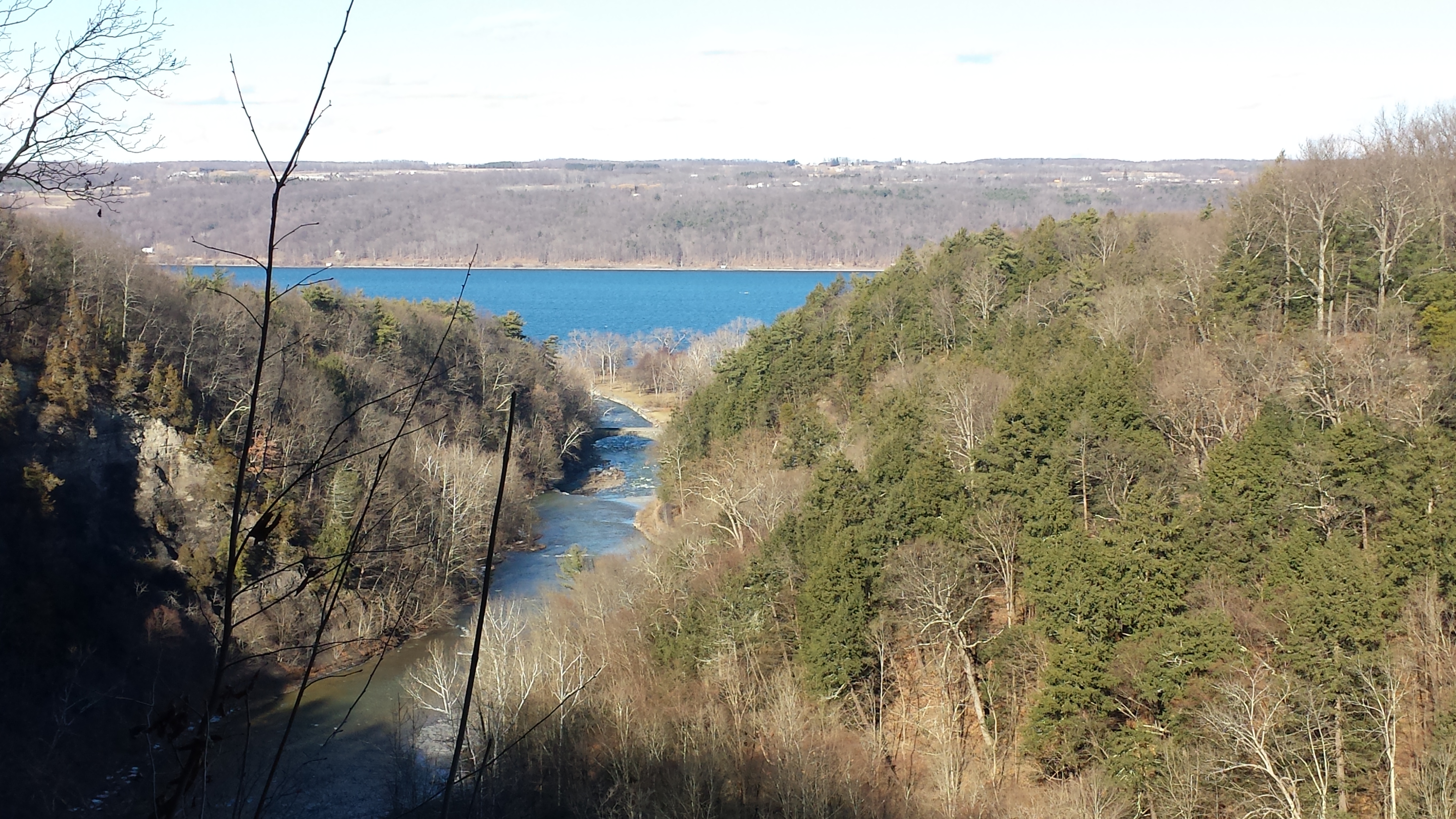
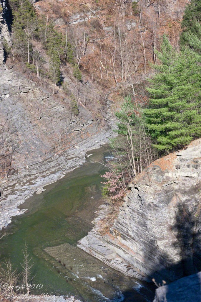
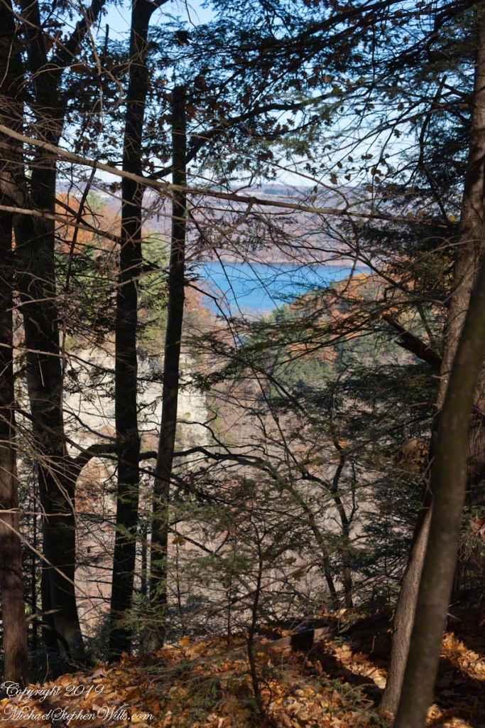
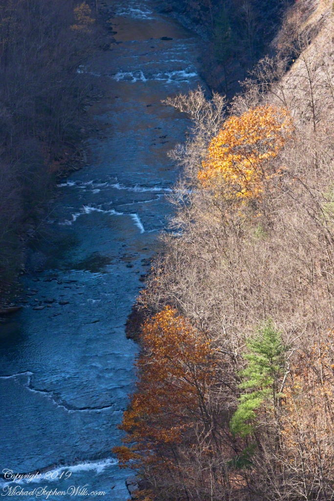
These photographs are from the cell phone. Here is the lake and a portion of the gorge. Yes, the lake is a dark blue on sunny days and is ice free this year. Another trail follows the gorge floor to below the falls, I opted out of the additional 1.5 miles today in the interest of finishing well before sunset.
Click any photograph to visit my Fine Art version of Taughannock Falls.
I have a few versions of these South Rim Trail stone steps taken at this perfect time of day, the low sun through the trees. Built in the 1930s by Roosevelt’s Civilian Conservation Corp, the steps and the entire trail are a work of art.
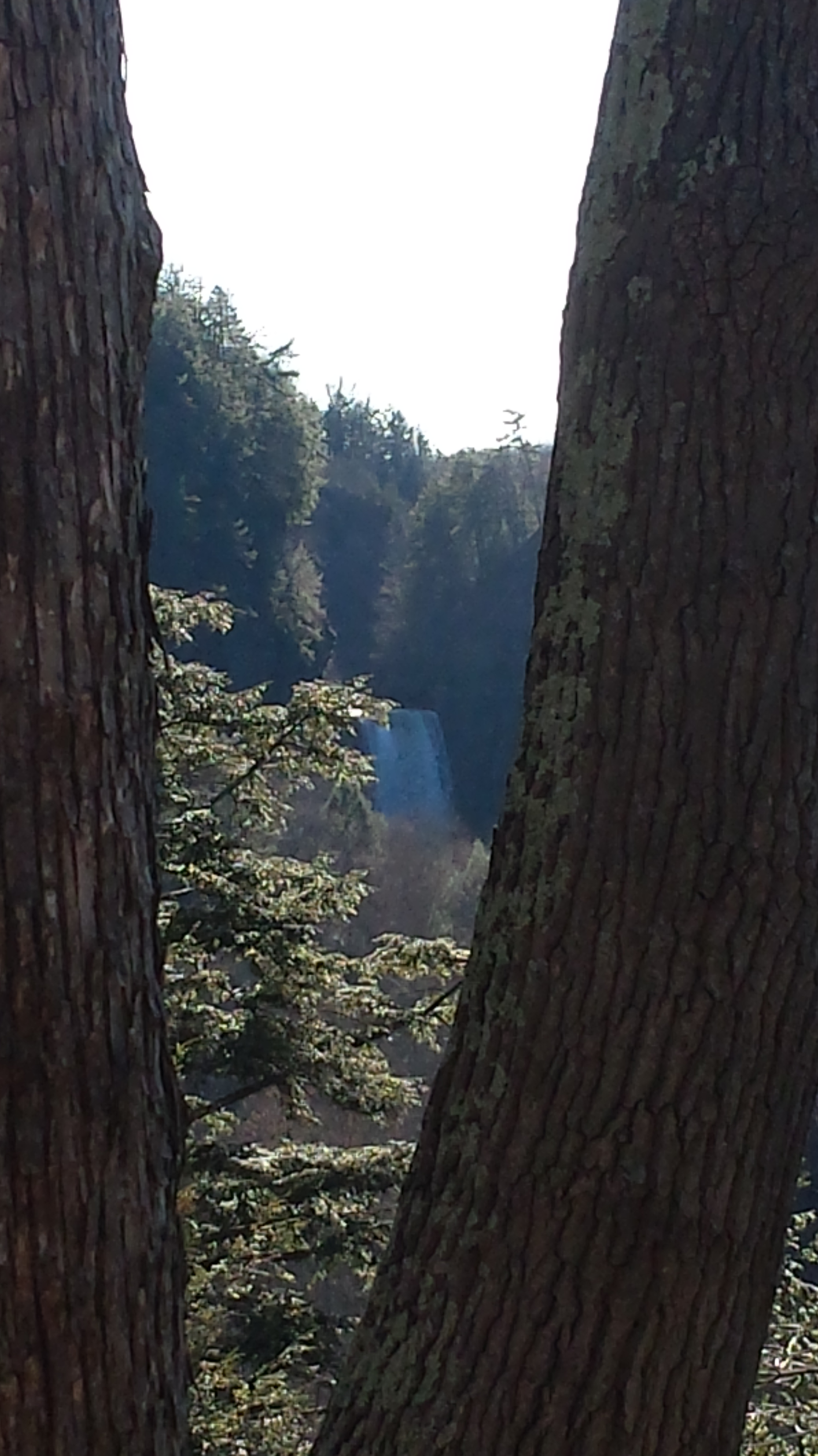
The far view of Taughannock Falls always fascinated me. I’ve never done it justice. There are several view points from the South Rim, overlooking the gorge were it bends to the south with only the upper third of the falls visible. The flow today was photogenic. I used the cell phone zoom to catch the view between the trunks of two trees.
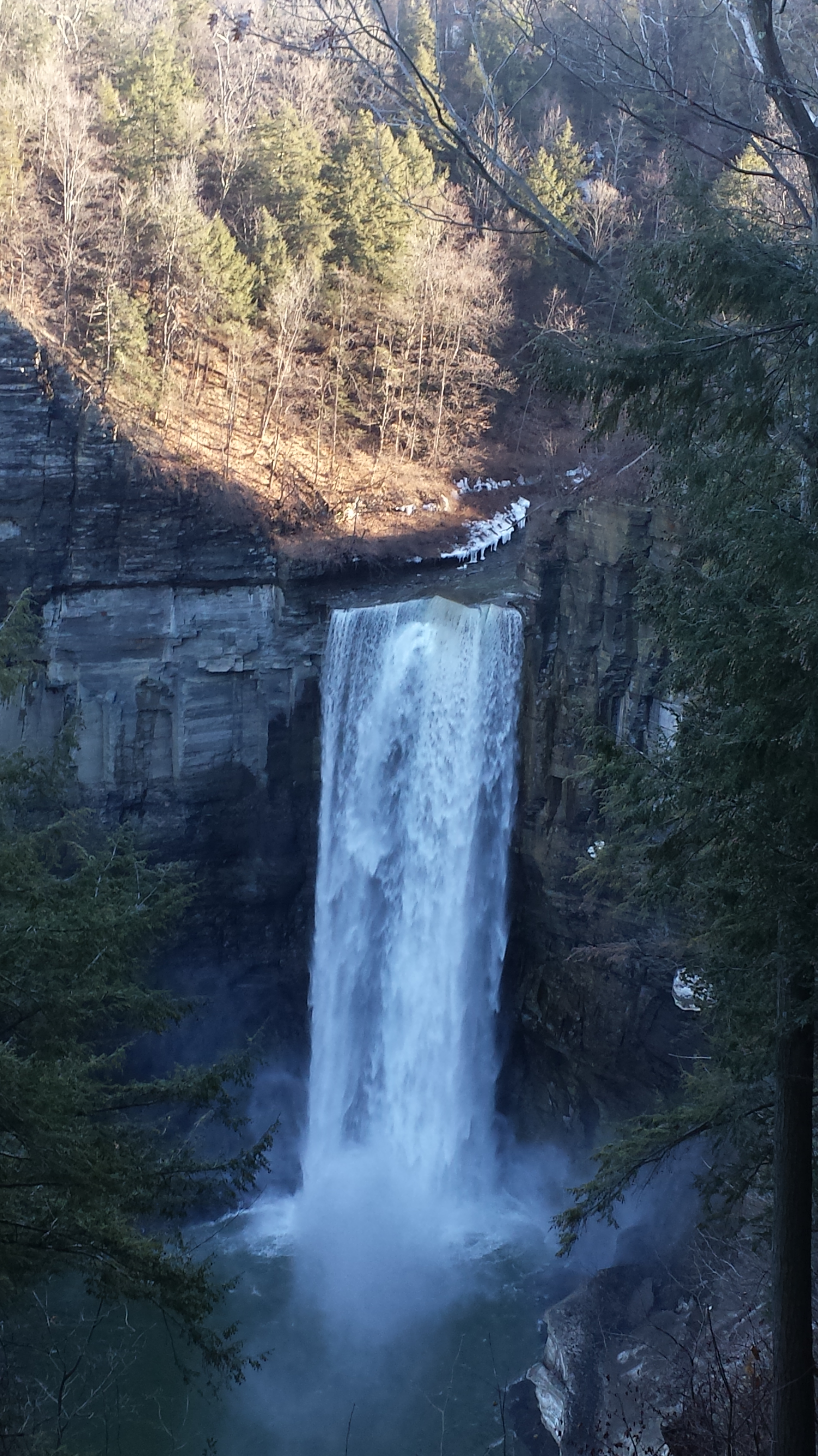
The top of the south rim was the only ice. It is there through April some years. Here is the closest, full view of Taughannock Falls from the North Rim. It is the same view you will find in my Fine Art version of the falls.
And a cell phone video of the falls for the full effect.
Enjoy!!
Copyright 2022 Michael Stephen Wills All Rights Reserved