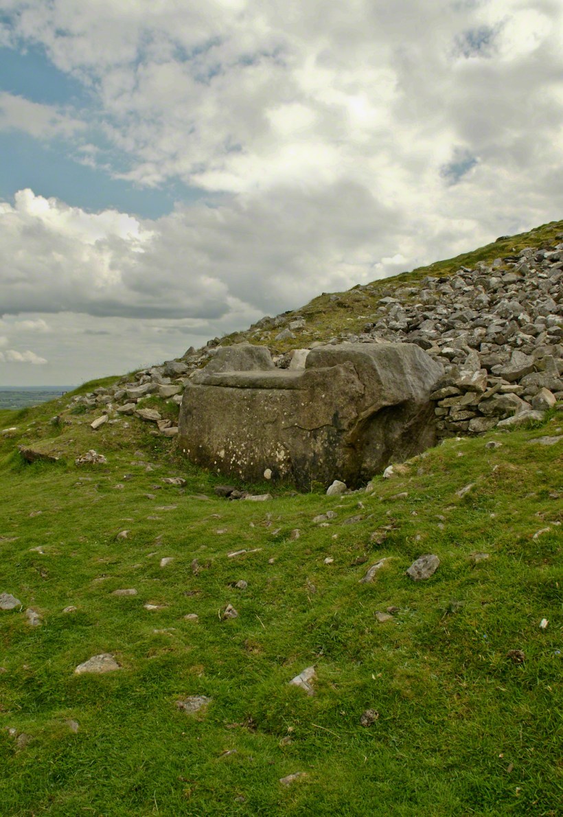
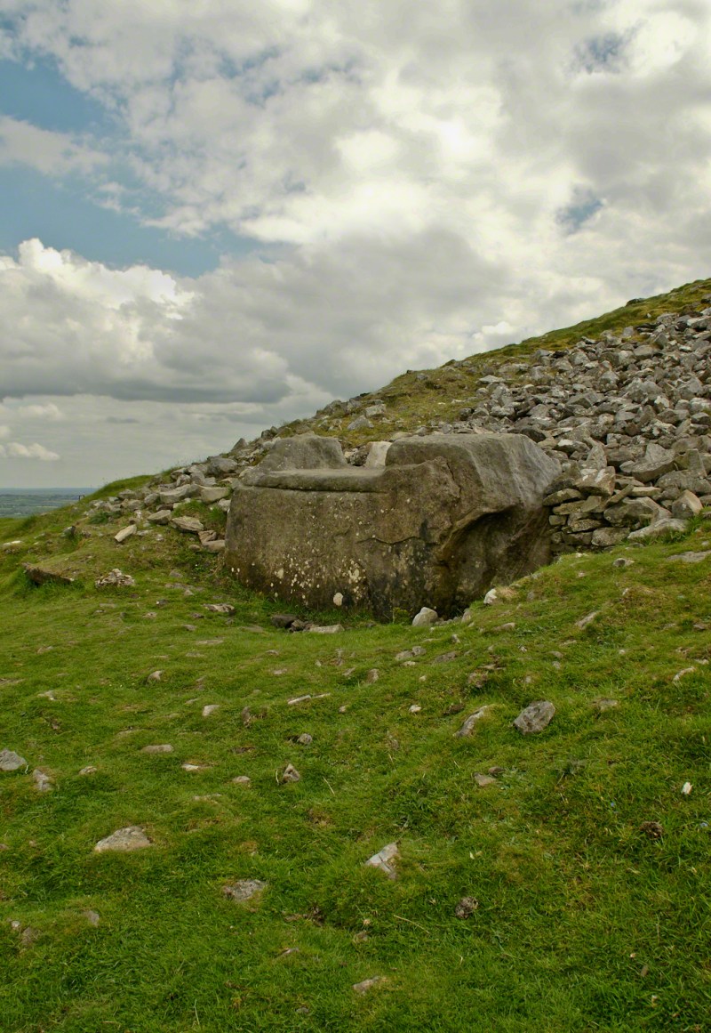
Known as the Hag’s Chair in some contexts, K29 or the Mass Rock, in others, set as a Cairn T, Loughcrew kerbstone thousands of years ago the carved symbols on front, rear and seat are very worn. There is no surviving record to inform us of the stone’s purpose. The upper side appears carved to enhance the form as chair. Set to the north of Cairn T, not in front of the entrance as with Newgrange, even this is a mystery. It is the third largest curbstone.
The popular name refers to the hill itself, “The Hill of the Witch” (In Irish, Sliabh na Caillí). In lore sites such as this are associated with The Others (“fairies”), living lives parallel to ours.
Tradition holds that, during times of the Penal Laws, Catholics gathers on for Mass using this curbstone as the altar. By this it is known as the Mass Rock.
I offer here a continuation of descriptions of a 2014 walk on the Tain Way, an appreciation of the lore and beauty of Ireland.
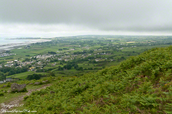
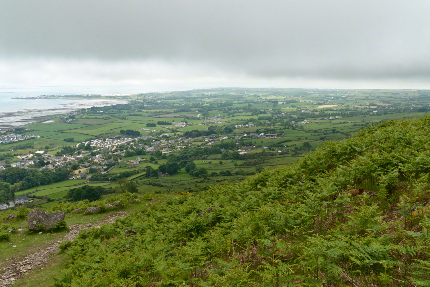
Descending the Tain Way from the ridge of Golyin Pass the sweep of Cooley Peninsula spread before us. Louth is the smallest of the Irish Republic counties, a peninsula which is mountainous where it is not farmland, one exception being Carlingford with the most people, population 1,405 in 2016.
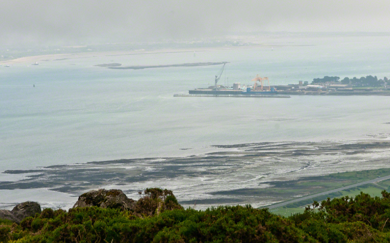
Residential Carlingford continues along the Greenore Road, farmland adjoins then continues southeast along the Cooley Peninsula margin, the Irish Sea beyond. Greenore Town and deep water port on upper left. These photographs are views from the Tain Way on the slopes of Slieve Foye, the highest mountain of County Louth.
Wander through the place names: Chapel Hill, Liberties of Carlingford, Moneymore, Leminageh, Crossalaney, Mullatee, Millgrange, Ramparts, Muchgrange, Ballyamony, Mullabane, Petestown, Ballagane, Willville, Whites Town.
There is a deepwater port on Carlingford Lough adjacent to and part of Greenore Town. The port employed Cousin John Mills years ago, supplementing his farm income. Across the lough is Greenecastle, Newry in Northern Ireland.
The Irish Sea opens on the far side of Greenore with the Isle of Man about 52 miles east and a little north.
The Dry Creek dam is across the upper, eastern, end of Fillmore Glen. Historical records of the dam construction must exist someplace. My opinion is, somewhere in the federal bureaucracy there is a record proving this dam was constructed by Roosevelt’s Civilian Conservation Corps in the 1930’s. That is when the gorge trails were dramatically improved and it is logical a dam was necessary to control water flow during times of heavy rainfall and the spring thaw, to allow a full appreciation of the gorge beauty. It is a substantial concrete structure with cast iron controls, two spillways: one never, the second always flowing. This day the reservoir is full, frequented by beavers, stocked trout, herons, blue jays, crows, hermit thrush. The reservoir banks are thick with wildflowers of the season. This afternoon I noticed purple flowering raspberries: a past prime bloom or two, ripe fruit growing in the late afternoon shade on the south side of the dam.
Unlike its name, Dry Creek is perennial, fed by a broad drainage of pastures, cornfields and forests. Year round the spillway runs, feeding into the gorge a constant, reliable supply of water for the many waterfalls for which Fillmore Glen State Park is known. The very first waterfall is on the rocks supporting the north side of the dam, formed where water from the spillway flows over these rocks into a deep, east west gorge overhung on the south side by mature hemlock trees.
I first encountered Fillmore Glen in the 1980’s with my young son, Sean. On Sundays he and I walked as far as he tolerated, about half way to the dam site, where the gorge makes a turn to the south, the trail on an unstable clay bank against a crumbling shale cliff. Rediscovering the park in the early 2000’s, along with my interest in photography, I noticed the waterfall just below the dam many times and admired it for how the water caught late afternoon light over the many grace points created by rock crags like a wedding cake. The angle from the dam path is wrong for capturing this effect. Today was a first for me to leave the safety of the dam path to climb into the gorge, on the south gorge wall, for a shot.
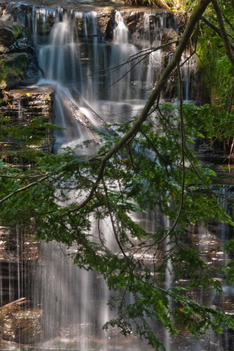
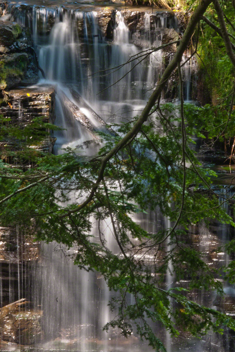
Here is a view of the spillway fall on a mid-August afternoon, 2017. My photography kit for this walk with my wife, Pam, was minimal: a Sony Alpha 700 with a variable lens, the flash and a Manfrotto carbon fiber tripod. For this version of the spillway I climbed into the gorge on the south wall, about 40 feet above the creek. A hemlock tree branch fell across the view, incorporated into the composition. These hemlocks are not a biological relative of the Socratic, poisonous, hemlock. The relationship is a similar aroma when the leaves are crushed. The f stop is cranked to 36, ISO set to 100 so slow exposure time to 1.6 second. Post shot processing via Photoshop.
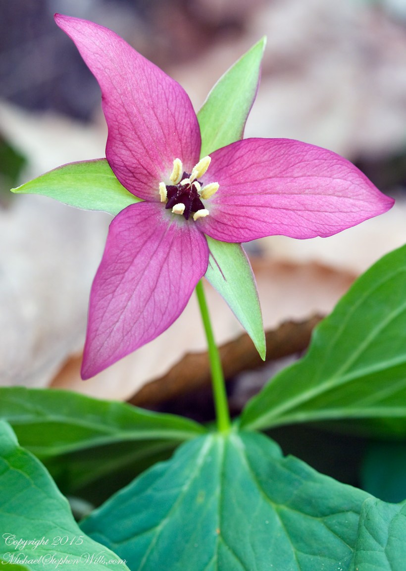
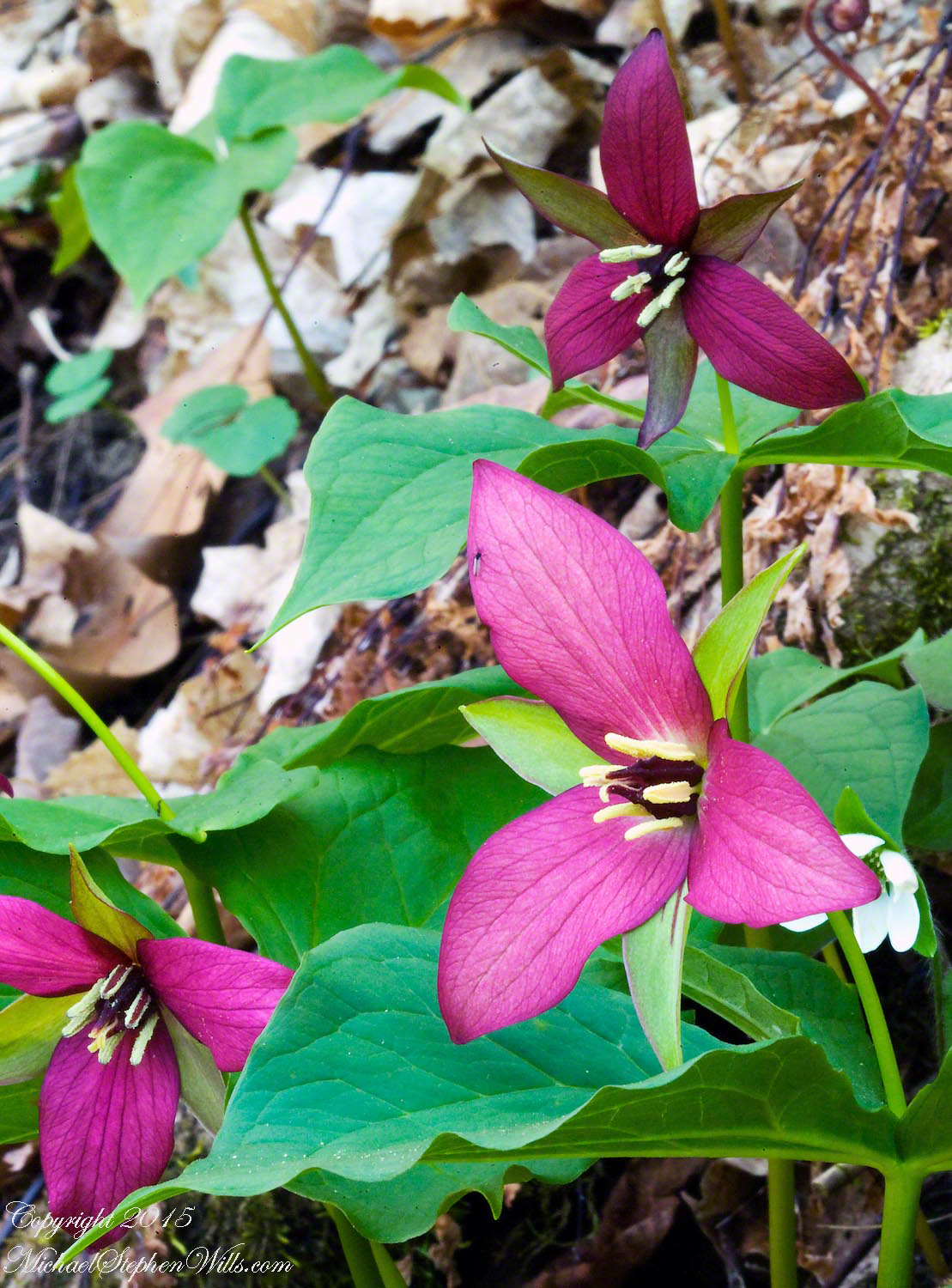
Four views of purple trillium, three of a grouping and one portrait. Taken in the same session of a rare set of perfect blooms growing wild.
Taken with a Canon 100 mm “macro” lens, a Kodak dslr body, a Manfrotto tripod and ample time and patience.
Enjoy!
The trillium plant grows from a body of rhizomes, a type of underground stem you can think of as a type of root. There are rhizomes when use to flavor food such as turmeric, though trillium is not one of these.
The single scape grows straight from the ground to form a whorl of three bracts mirrored by the three green (usually) sepals and, again, by the three flower petals for which it is named.
You can clearly see all of this in my photographs.
Copyright 2021 Michael Stephen Wills All Rights Reserved
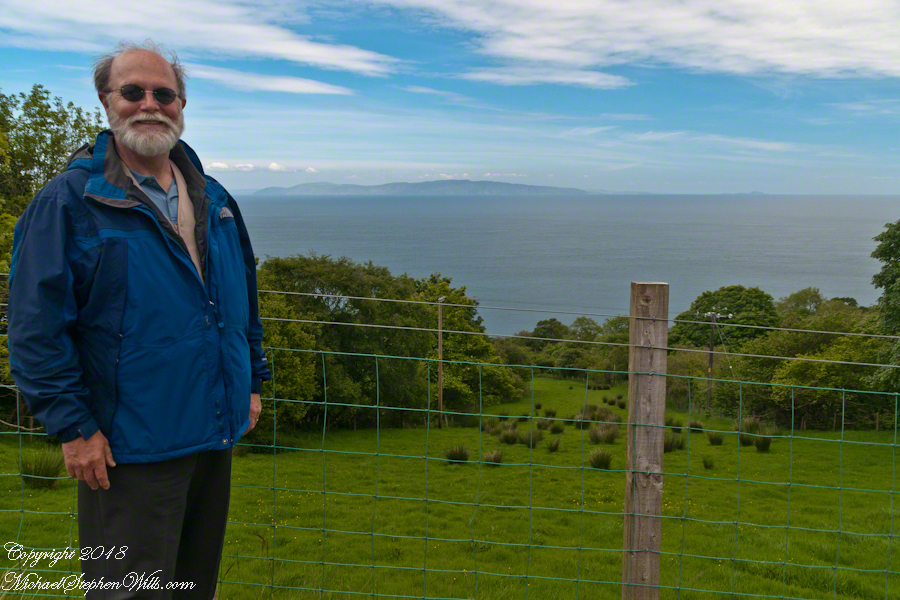
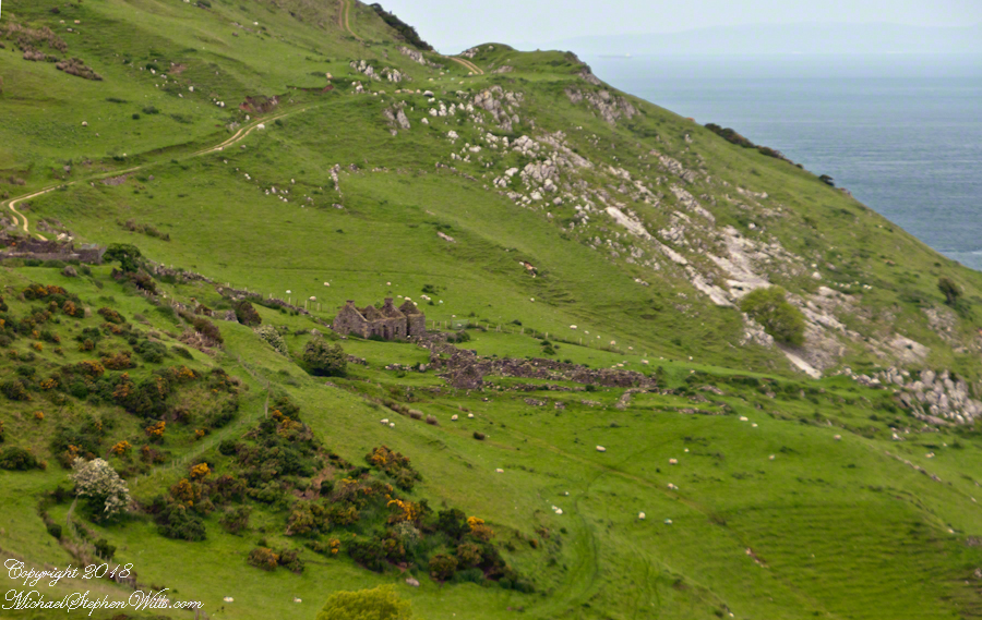
We pulled off the side of Torr Road for this fine view on the way to Torr Head to take in this view of the Irish Sea. The steeply rising distant headland is the Mull of Kintyre. Loughan an Lochan, County Antrim, Northern Ireland.
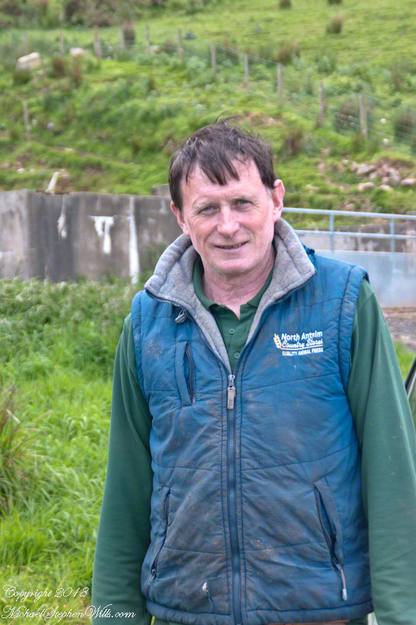
We parked on a turnout above the Loughan Cottages, near this farmer’s sheep pen. He drove up in a huge tractor and conversed with Pam while I was below shooting the cottages. He made a good impression.
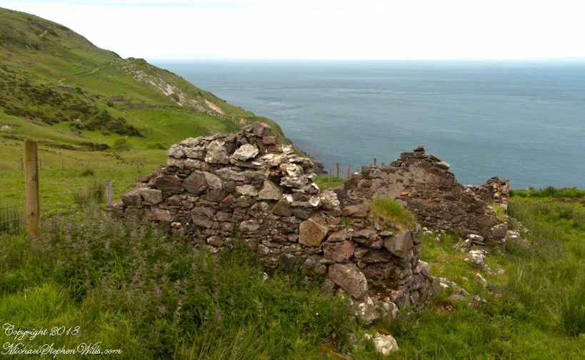
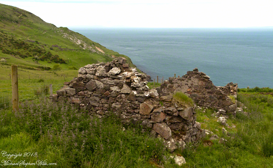
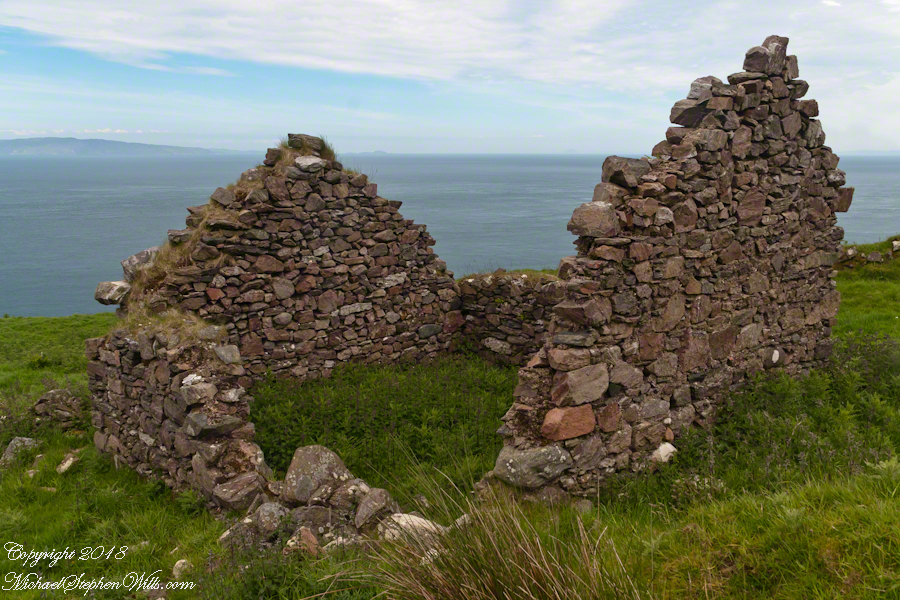
Roofless walls of a cottage more substantial than the other deserted ruins above Loughan Bay, with two fireplaces a walled porch with a view. A number of outbuilding foundations lay around. The integrity of the walls, chimneys and gables speaks to the quality of construction. A freighter in the North Channel of the Irish Sea is visible in the distance above the upper ridge. Beyond is the island of Islay, Scotland, about 30 miles distant. Loughan an Lochan, County Antrim, Northern Ireland.
I am happy to report a series of thirteen (13) photographs of these ruins were accepted for publication by Getty. You can click any of the photographs in this posting for my Getty portfolio.
The land slopes steeply to a rocky beach.
A thick growth of ferns, grass on the gable was once a home with a view of Scotland’s Mull of Kintyre 13 miles across the North Channel of the Irish Sea. The Isle of Sanda just visible on the right of the far gable. A landform named Alisa Crag is just visible in the distance, to the left of the nearest gable.
Click photograph for a larger view. To do this from WordPress Reader, you need to first click the title of this post to open a new page.
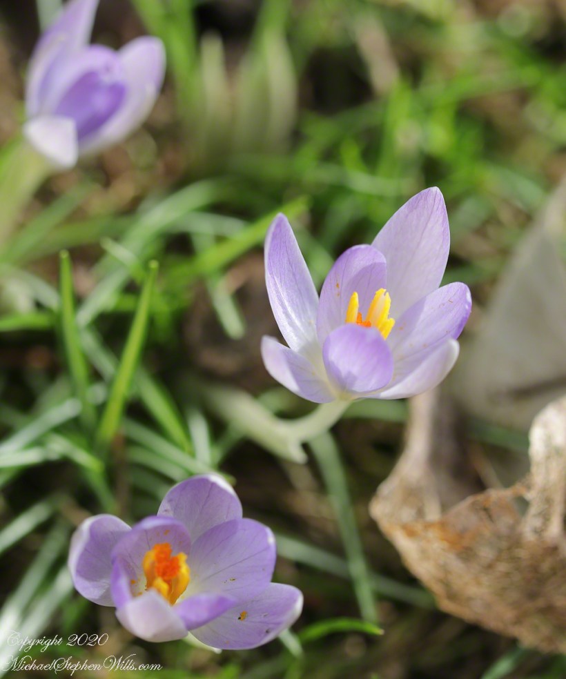
A tripod held the composition steady and the timer was set to 2 seconds for extra stability. With the leaf body worn away by time, the remaining veining turns the form lacy.
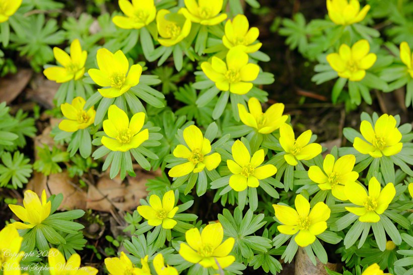
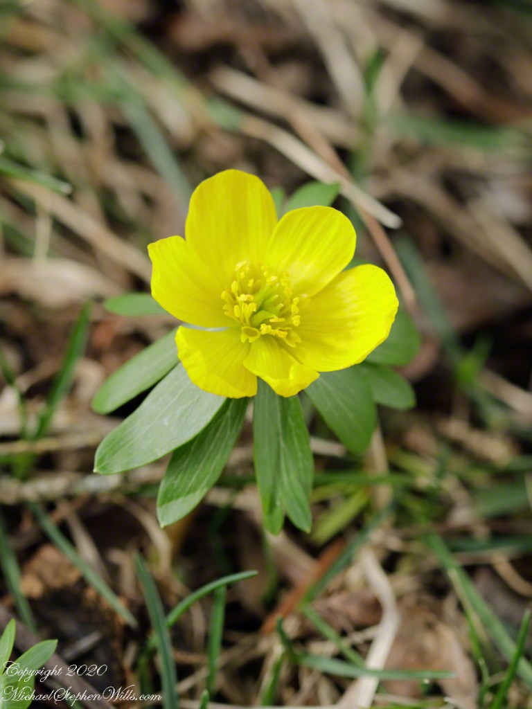
Here is a slideshow today’s and previous wildflowers.
Copyright 2021 All Rights Reserved Michael Stephen Wills
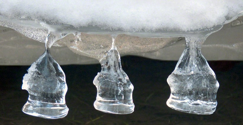
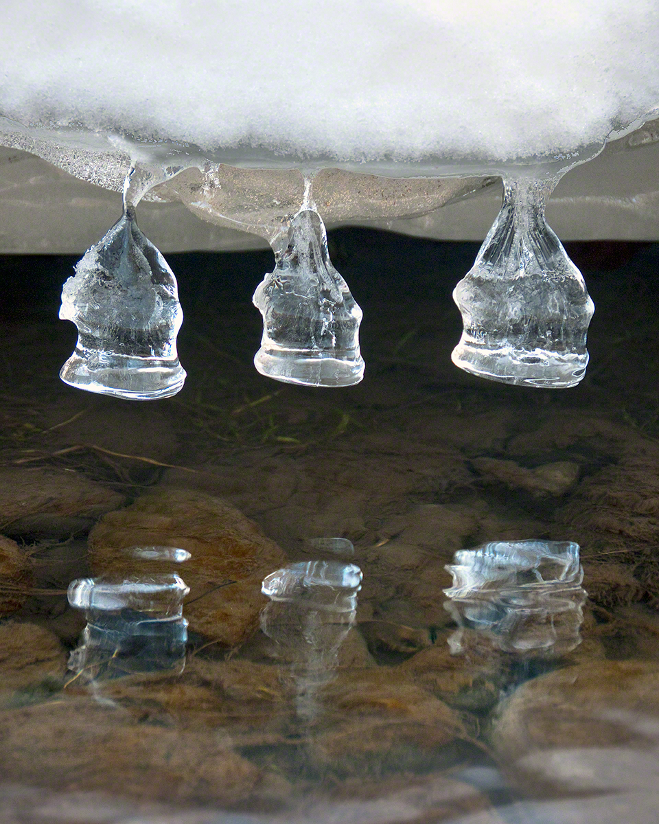
These icicles were formed along Fall Creek during the coldest months of February in the Finger Lakes Region of New York State.
The transient nature of these forms is suggested by the thinness of the pedicle joining each bell to the ice lobe of the ledge. Note the golden crystals in the ice lobe.
A visualization of the symbolic power of the numeral three, reflected on itself. Question: what do “threes” mean to you?
Captured with the Sony DSLR-A700, DT 16-105mm F3.5-5.6 lens, hoya circular polarizing filter, mounted on the Manfrotto tripod with ball head.
Click the photograph for my online gallery Ice Bells listing.
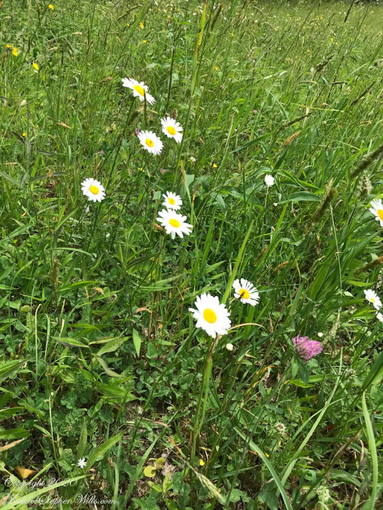
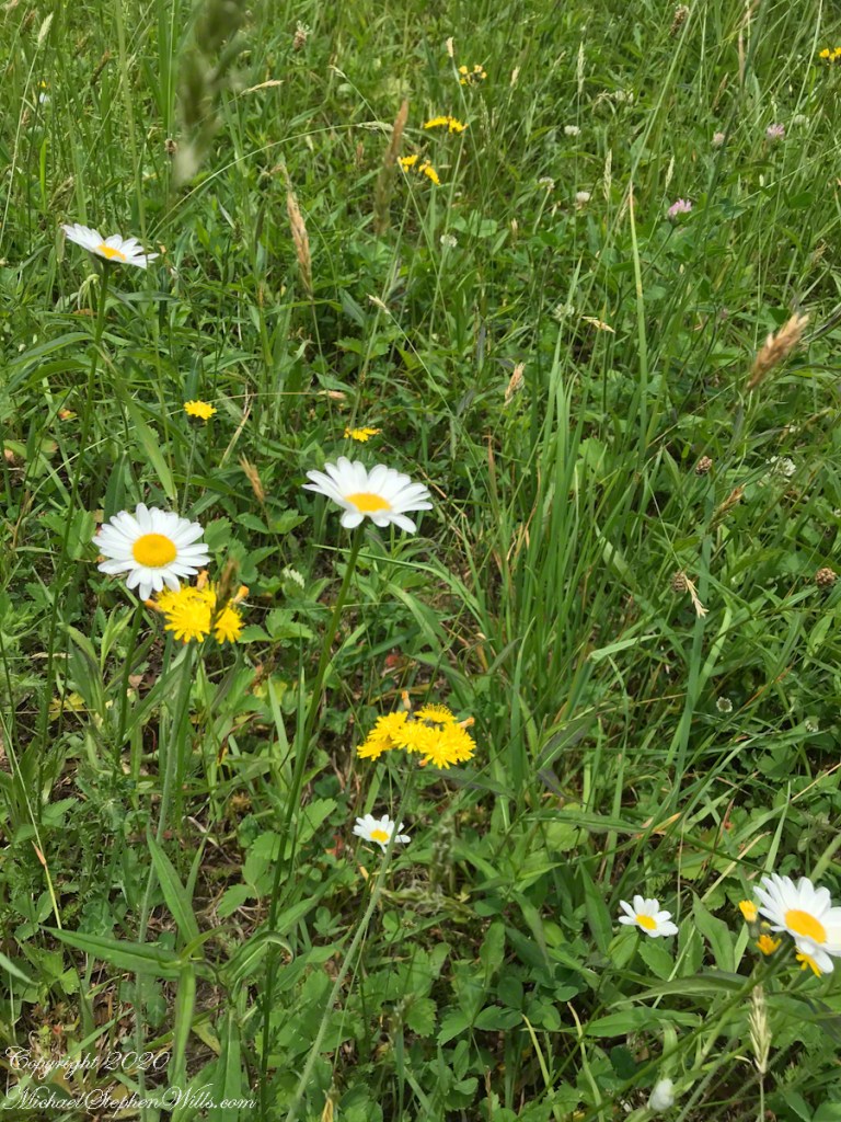
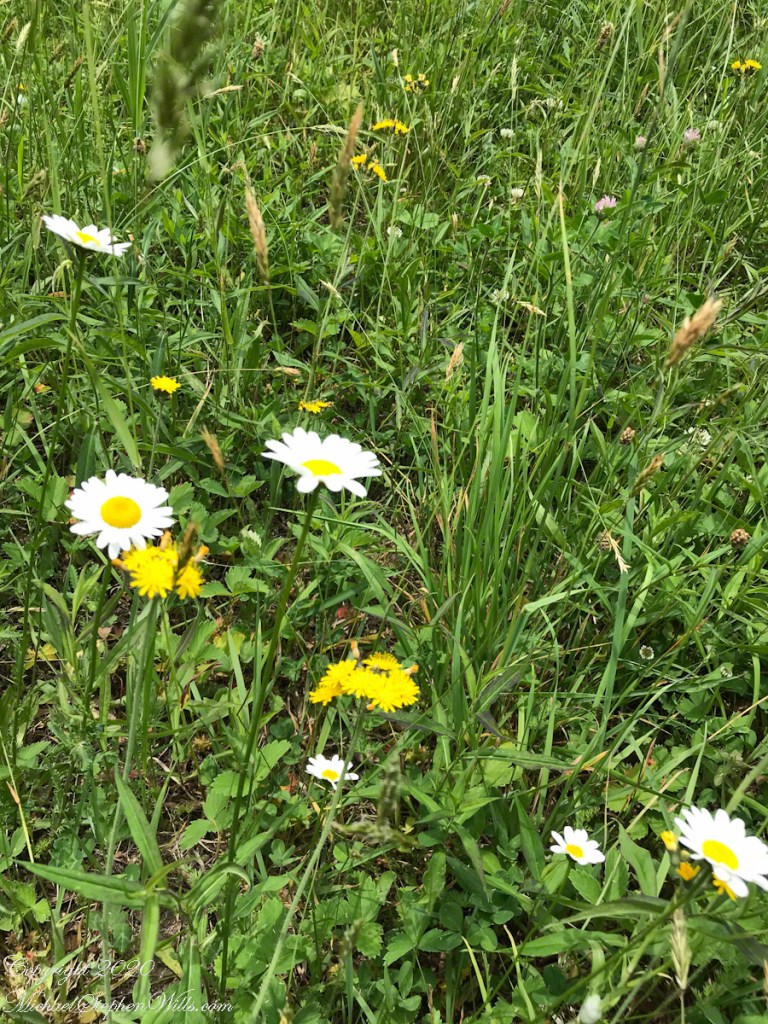
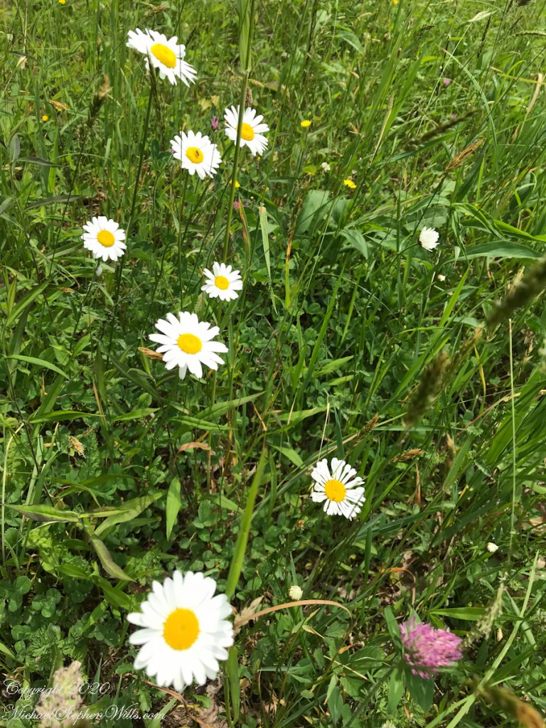
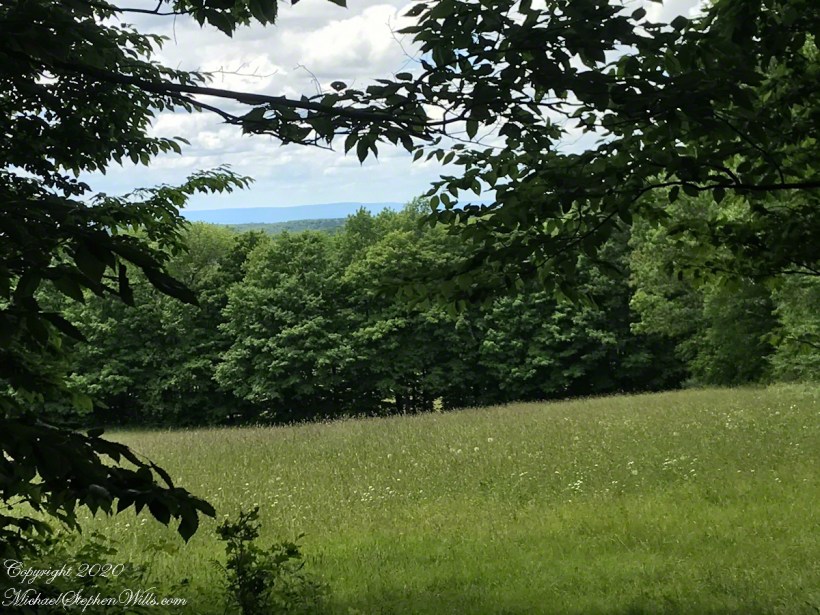
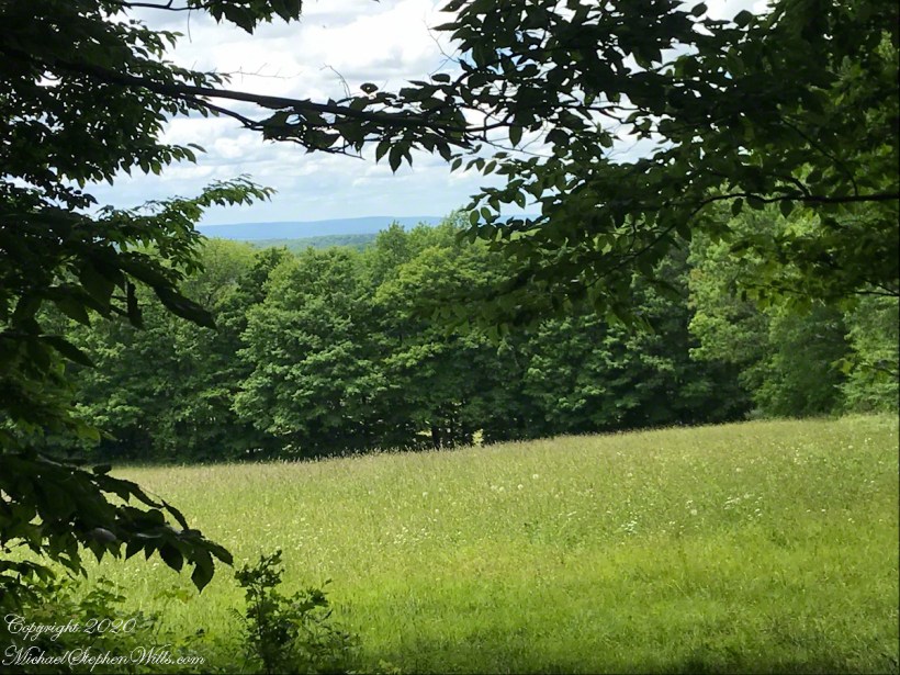
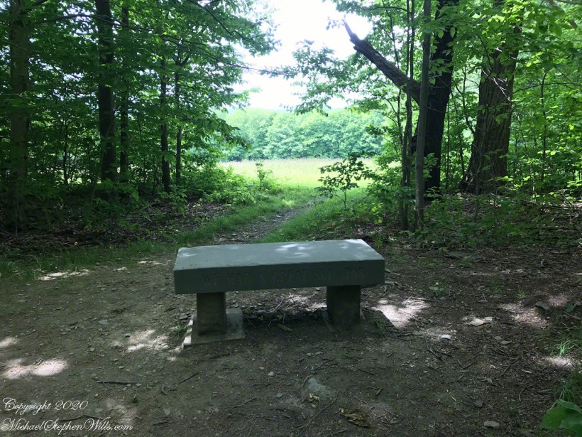
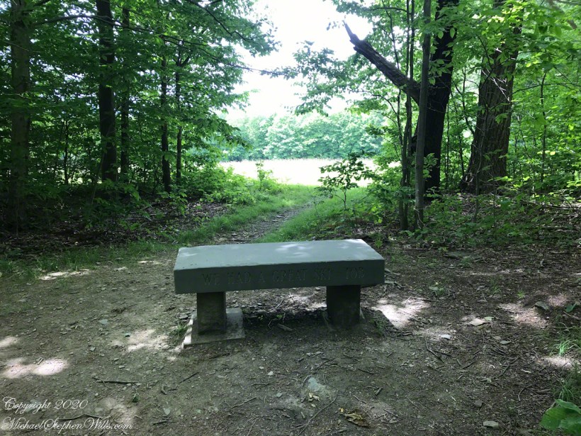
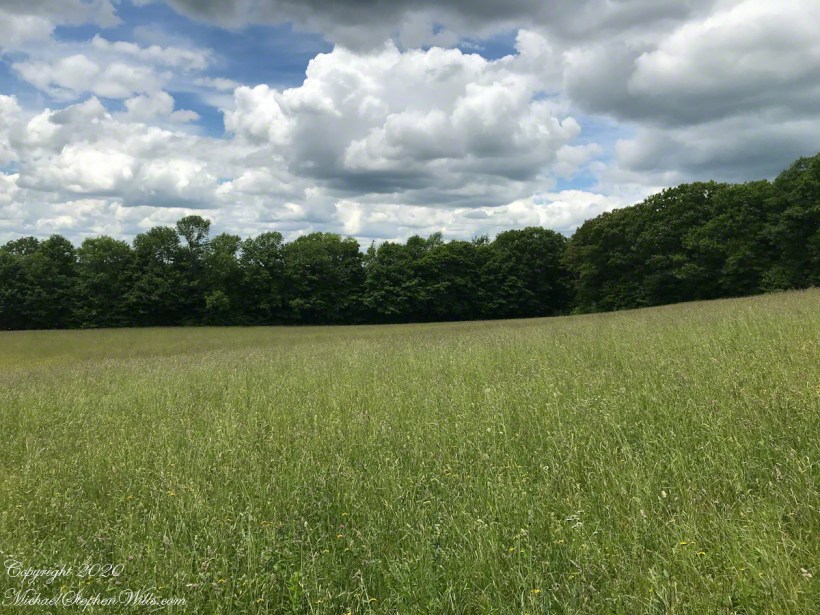
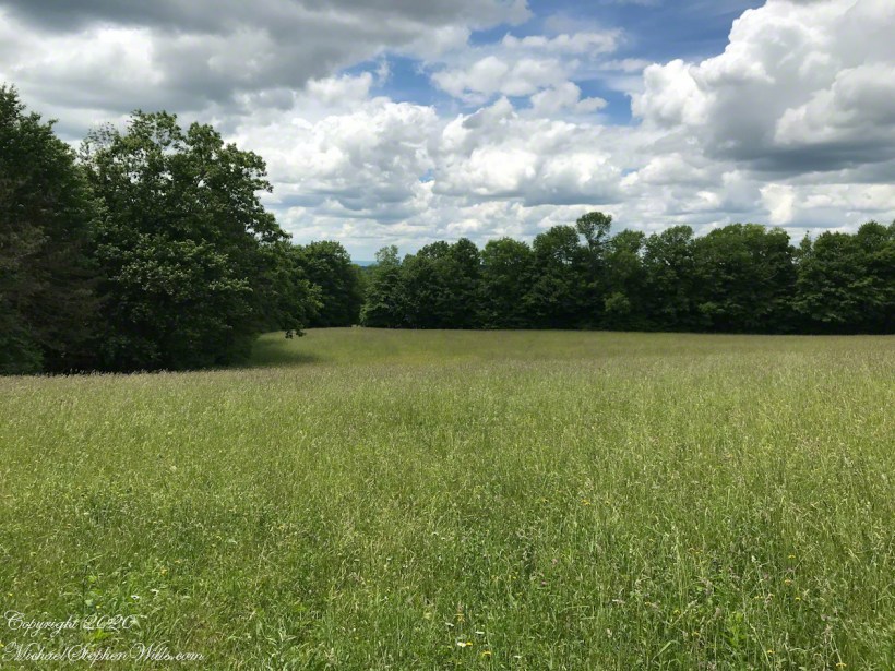
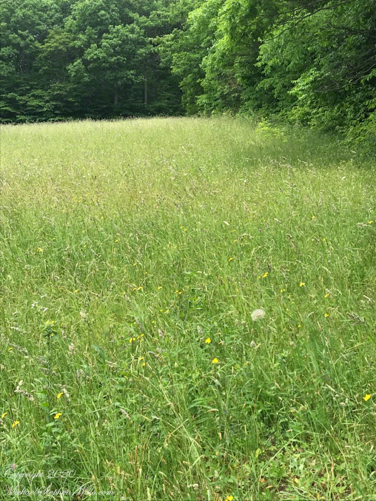
After birdsong, open spaces are an unexpected wonders of these walks. Nowhere listed on the map, and on private lands adjoining the forest, this meadow comes upon the hiker’s consciousness gradually as the trail approaches.
Click any photograph for a larger view. To do this from WordPress Reader, you need to first click the title of this post to open a new page.
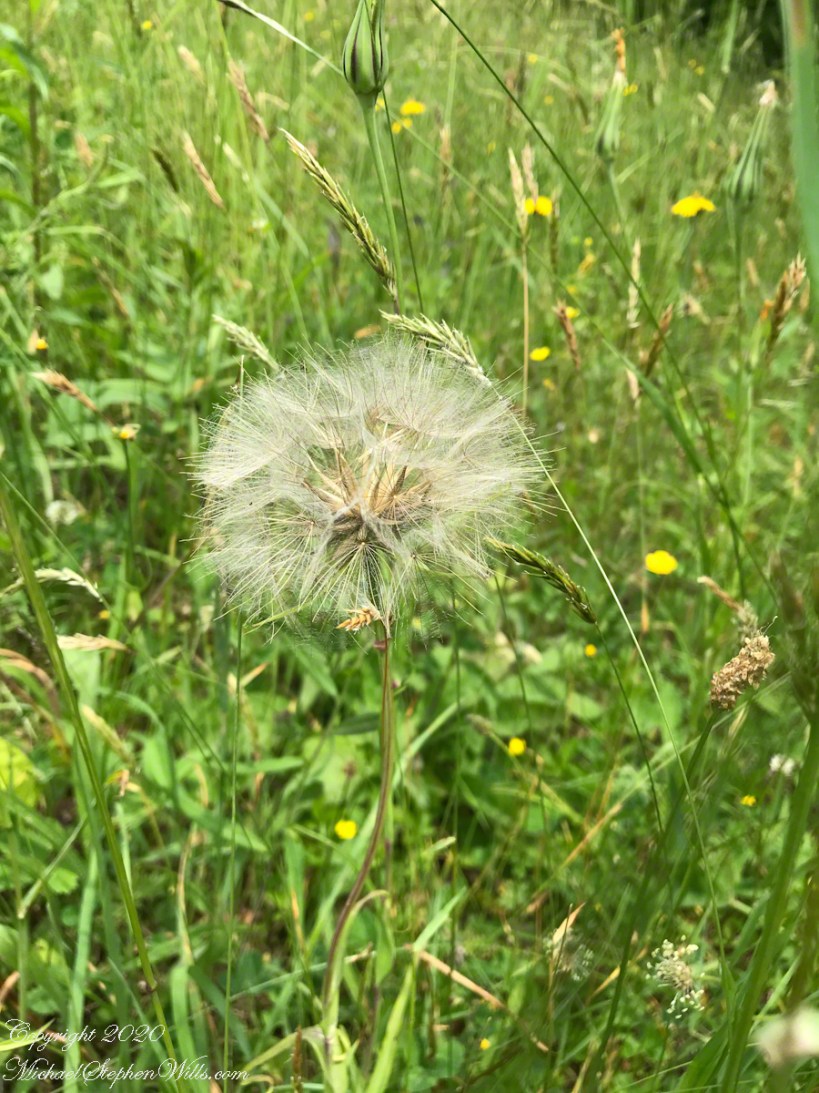
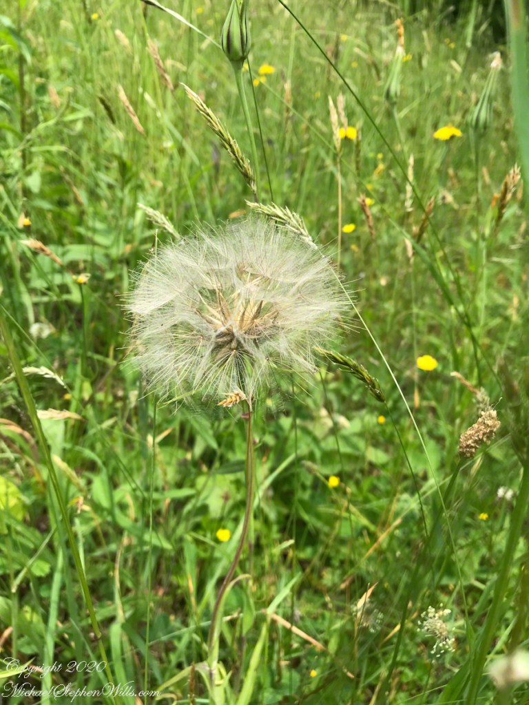
I have seen those gigantic seed heads here and there and never taken the time to research and identification. Do you recognize it?