I am happy to report 100% of the photographs presented in my “Sand Abstracts” posting were accepted for publication by Getty.
Click Me to view these and my other “texture” photographs on Getty
Success.
I am happy to report 100% of the photographs presented in my “Sand Abstracts” posting were accepted for publication by Getty.
Click Me to view these and my other “texture” photographs on Getty
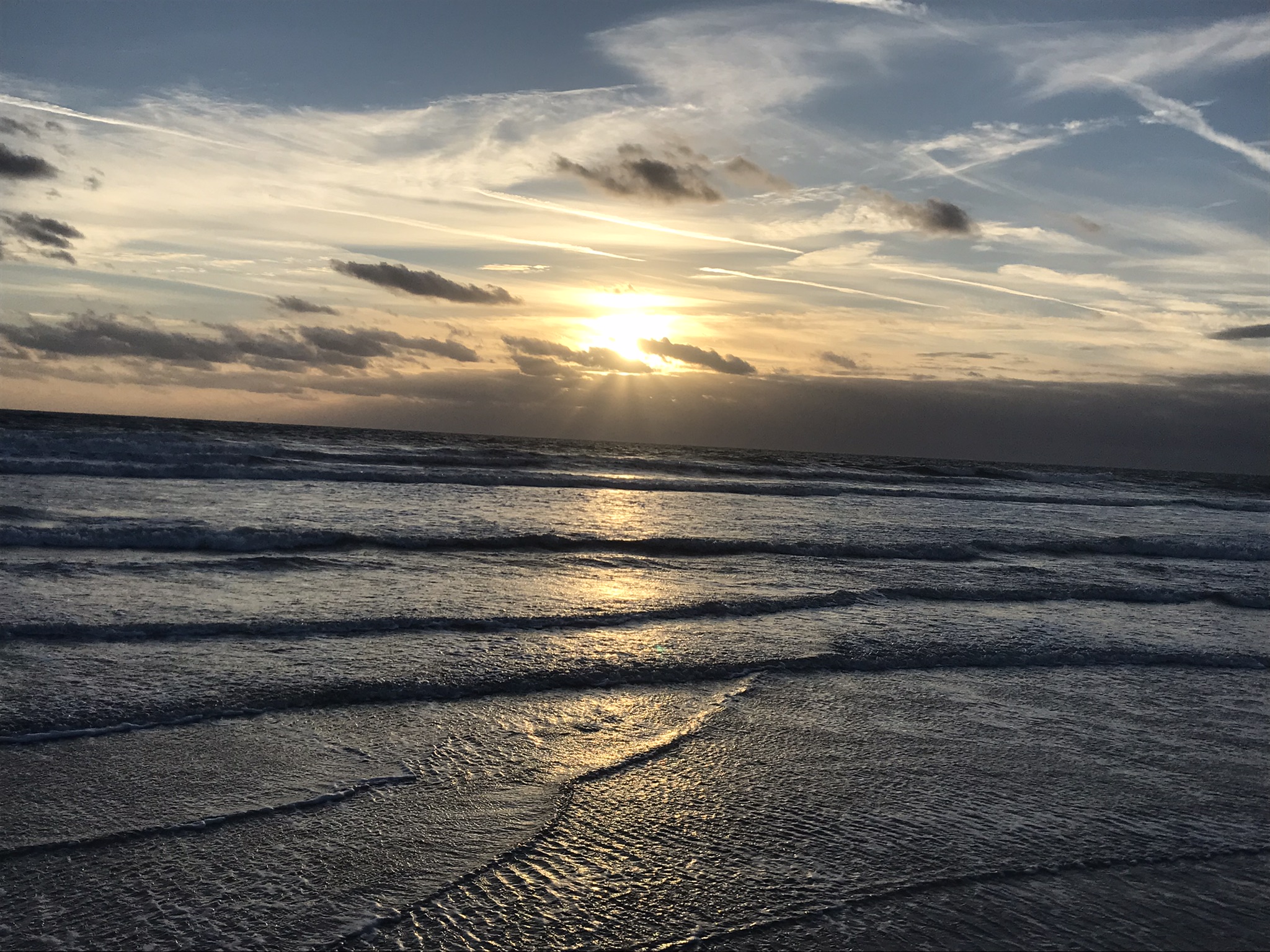
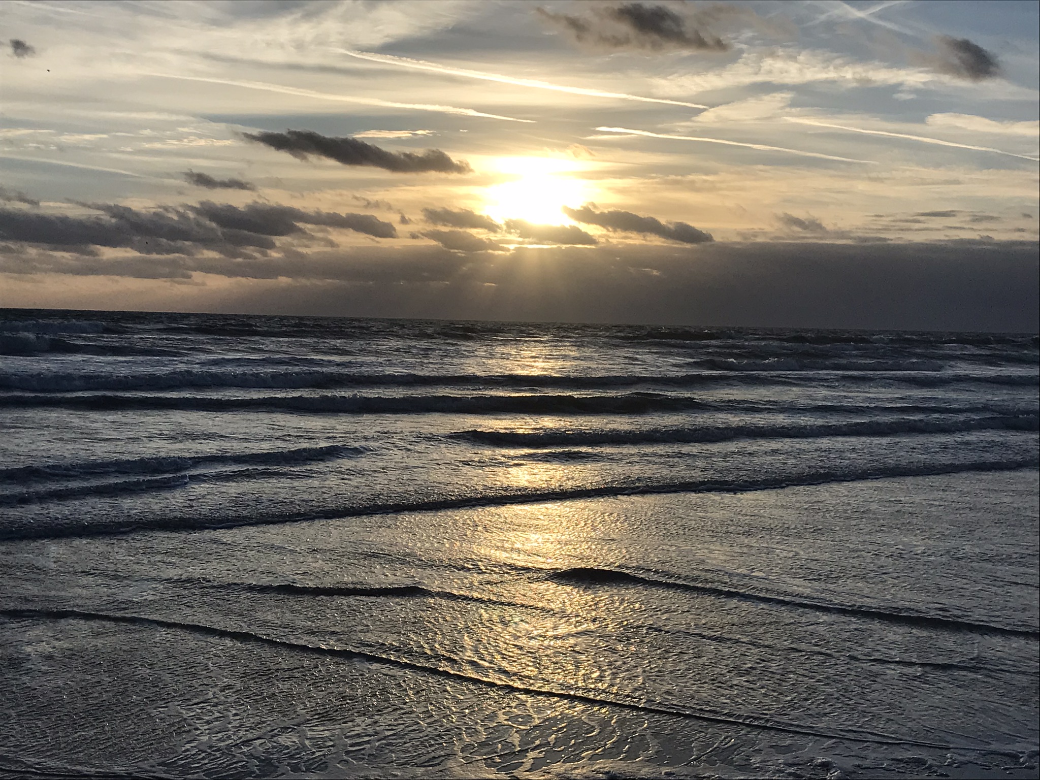
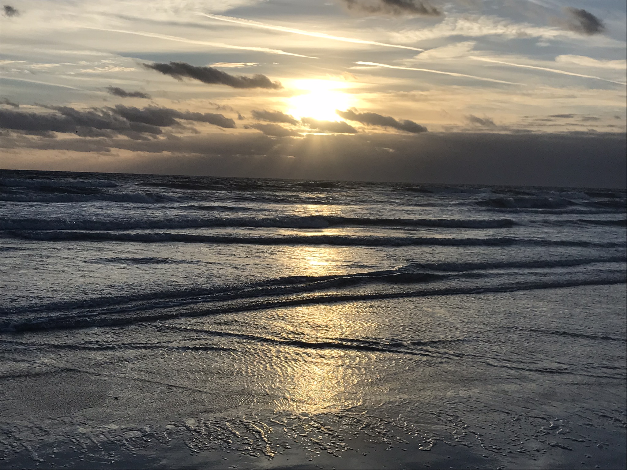
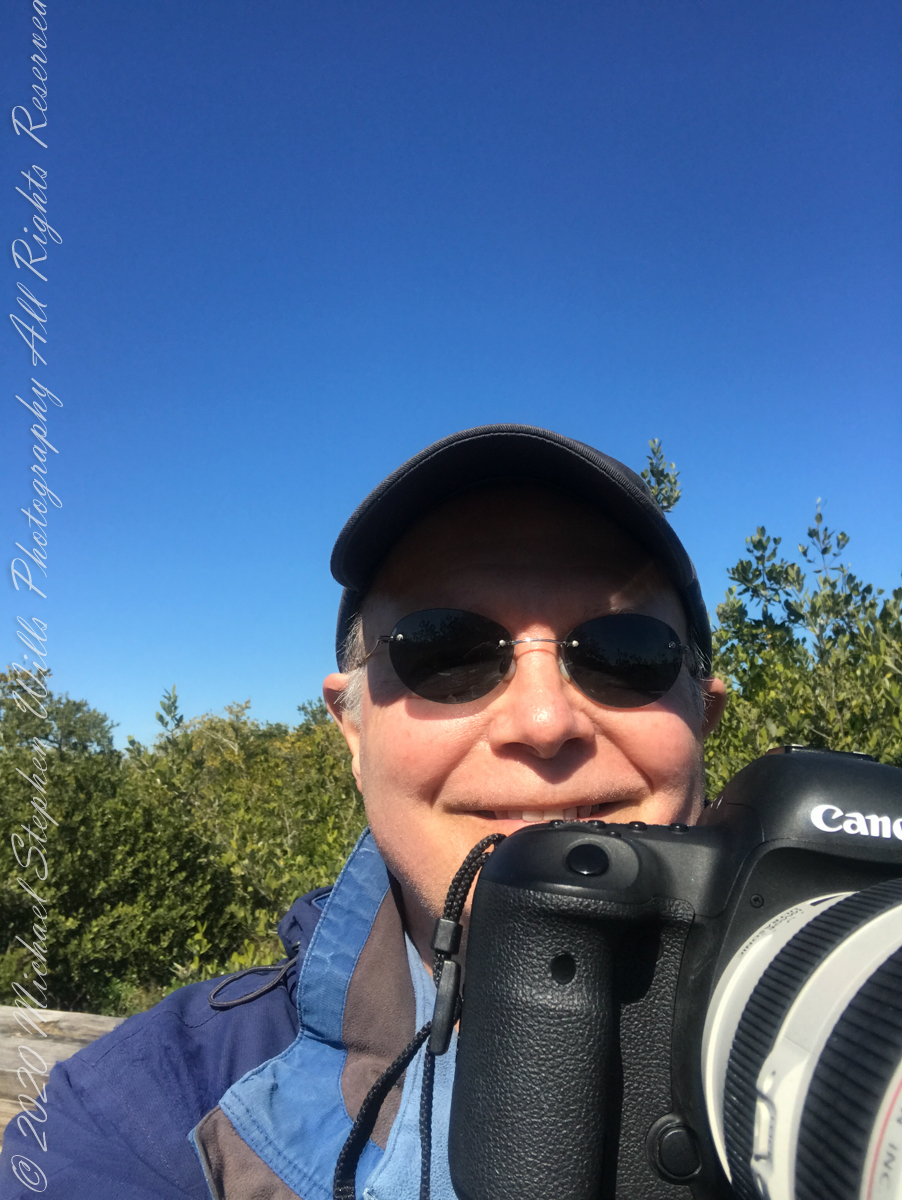
“An early-morning walk is a blessing for the whole day.” Henry David Thoreau
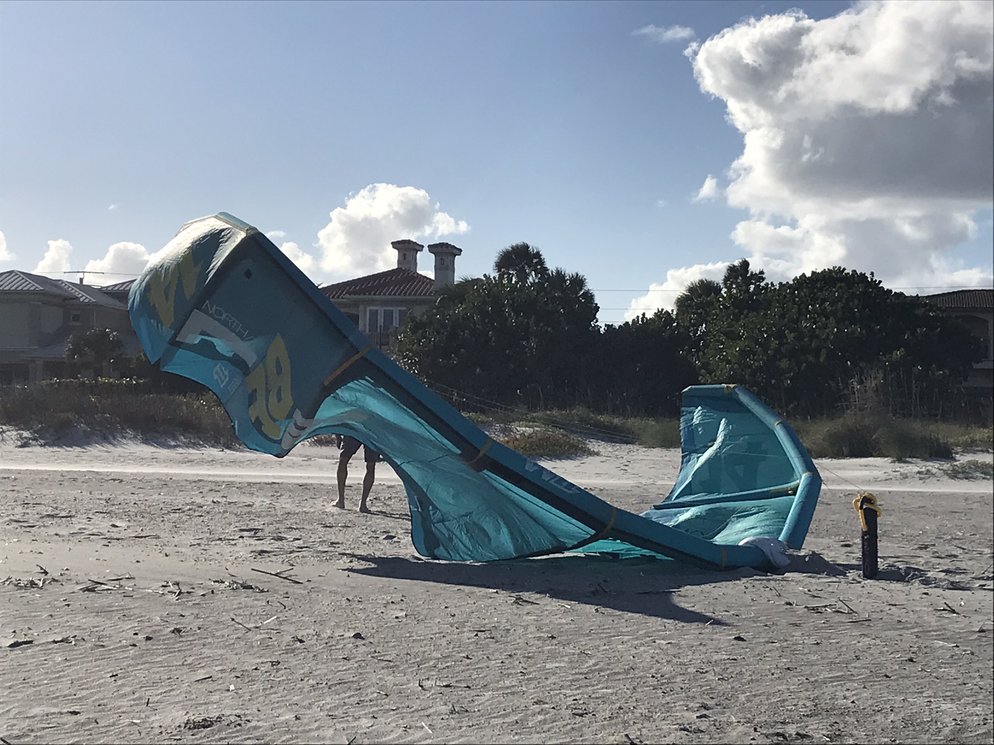
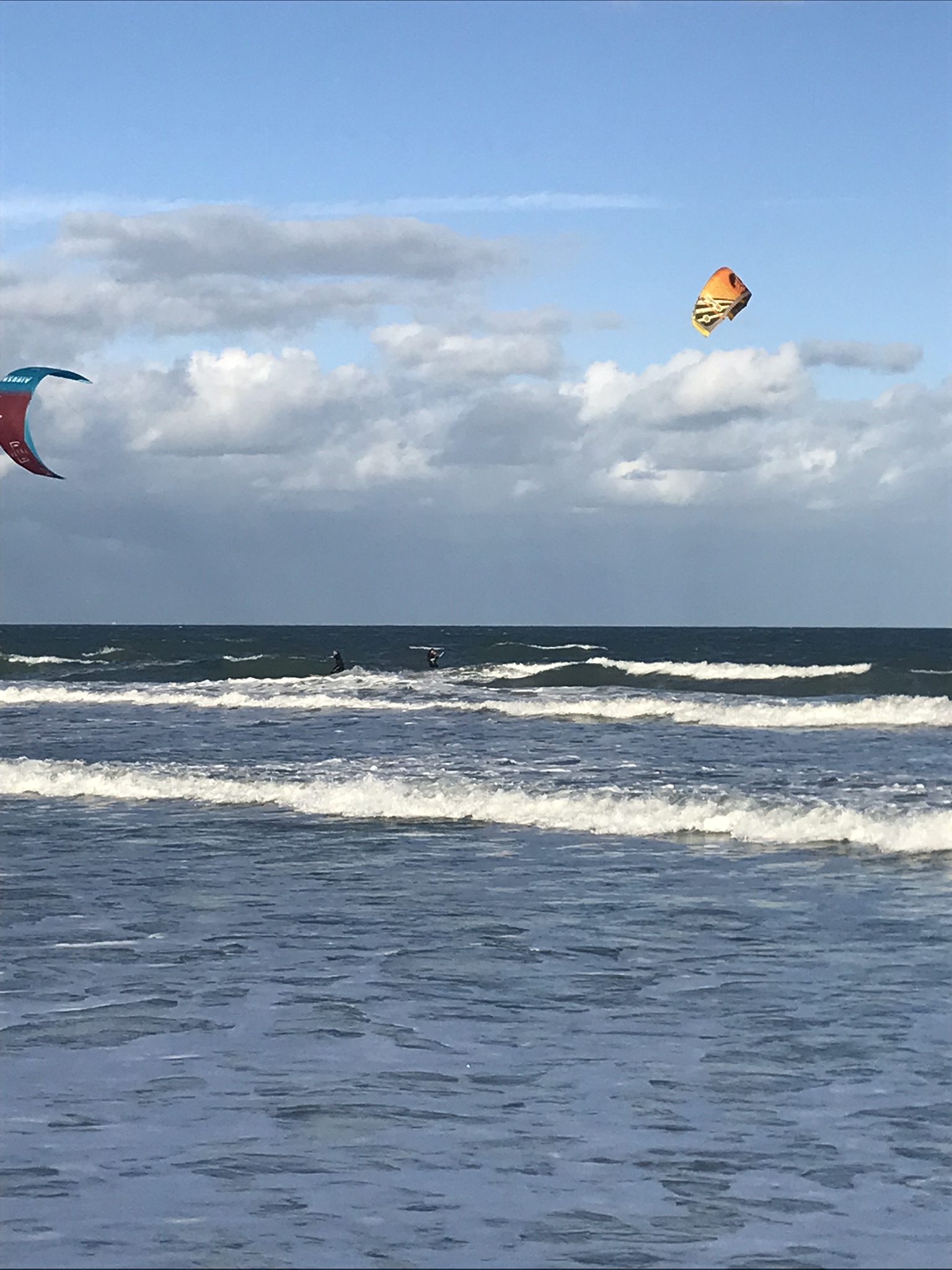
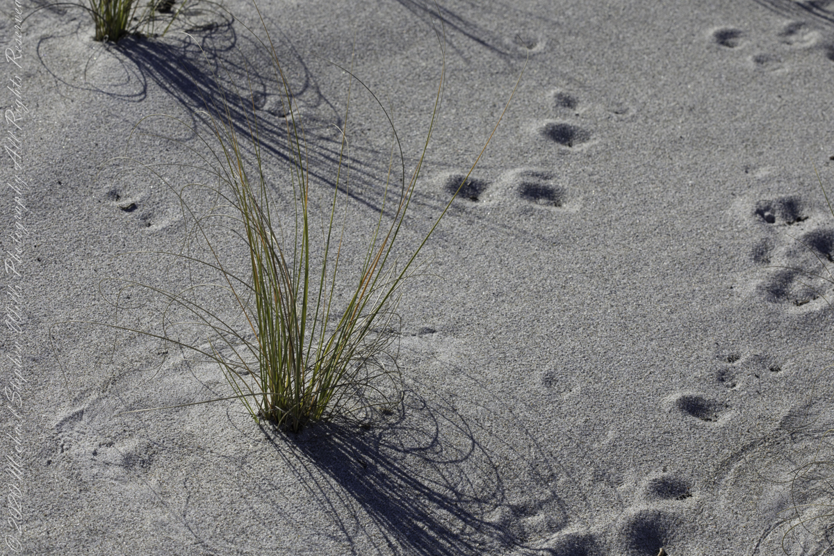
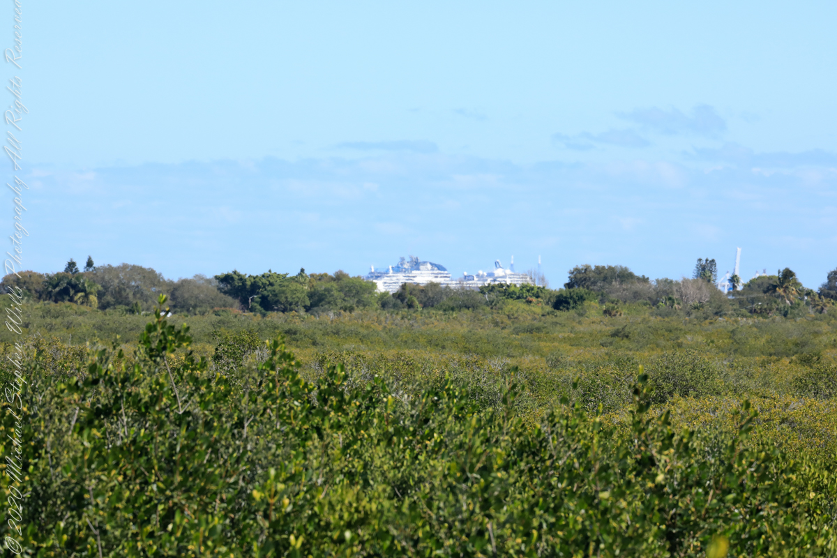
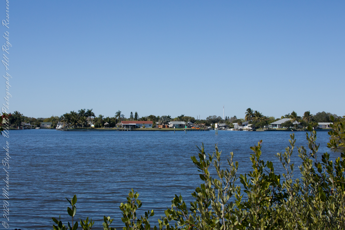
Images saved from this winter day of beachcombing and exploring around Cocoa Beach, Brevard County, Florida
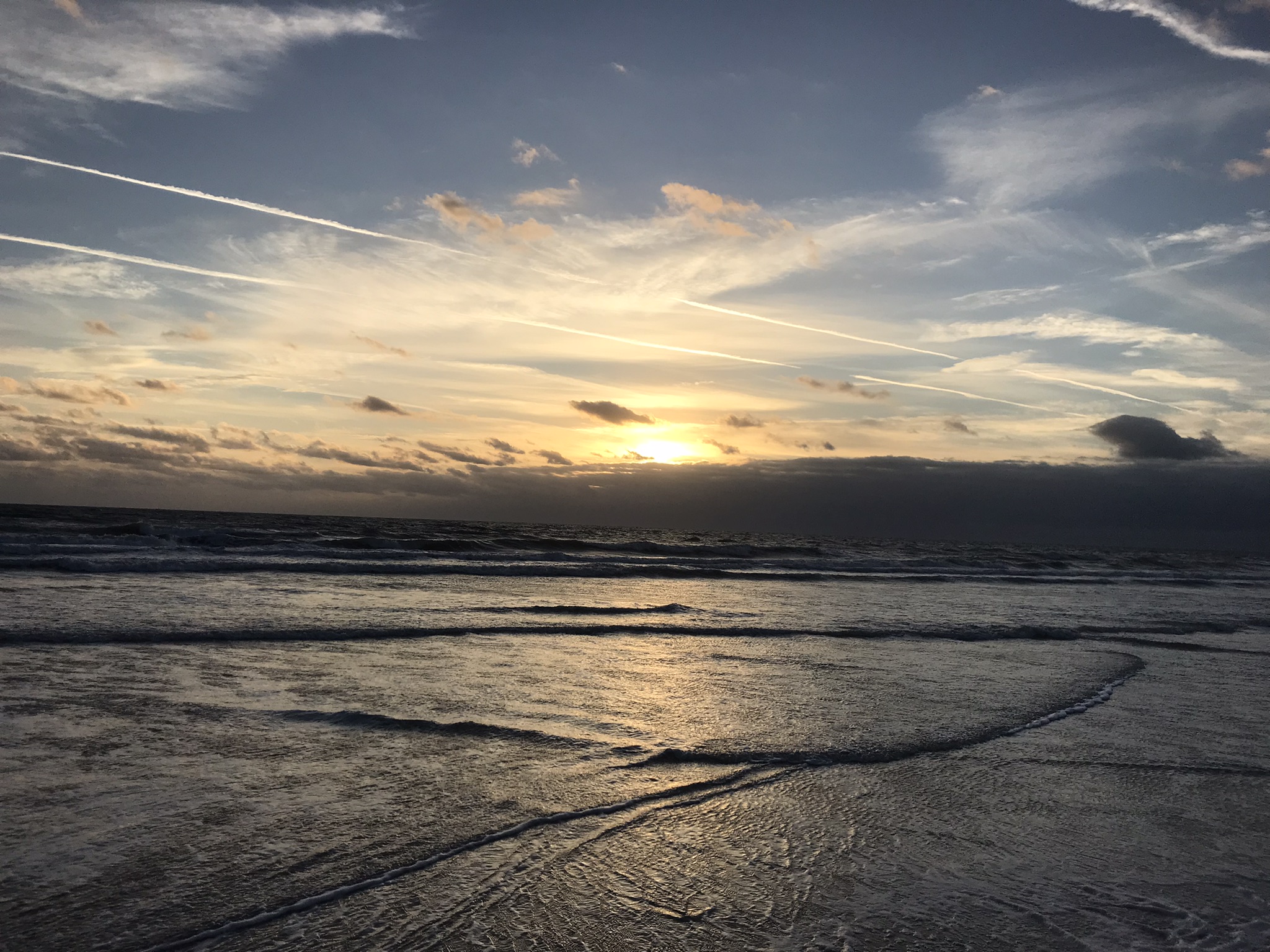
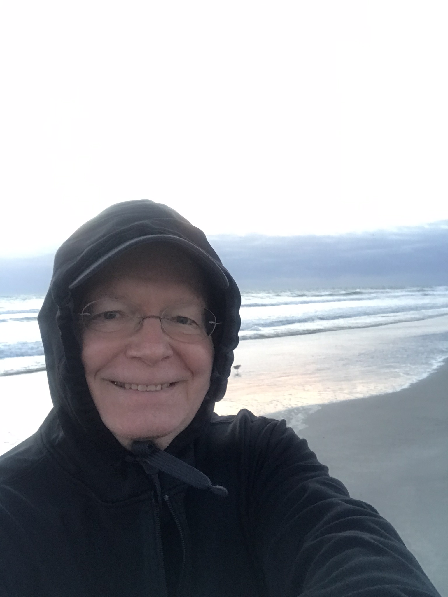
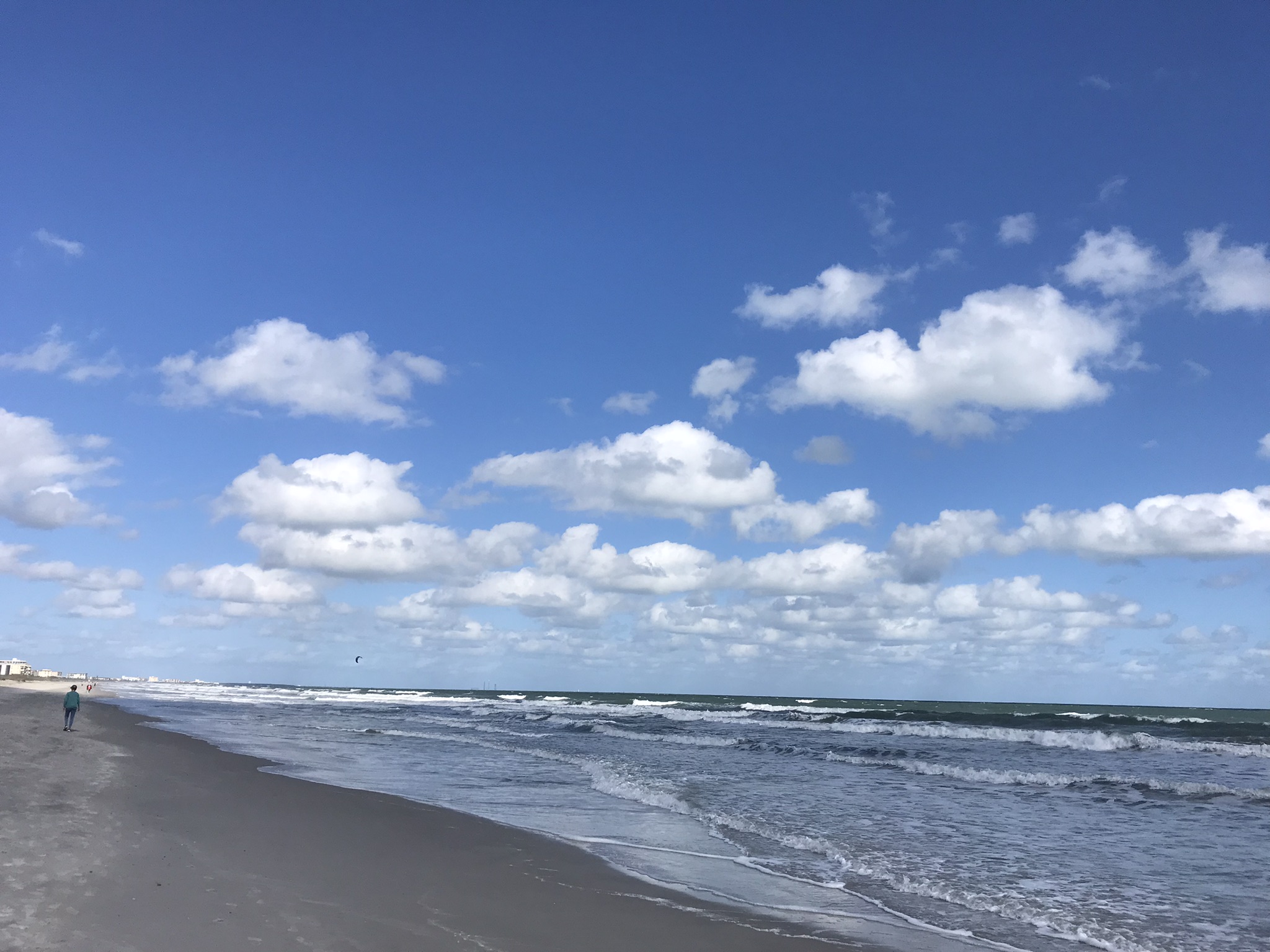

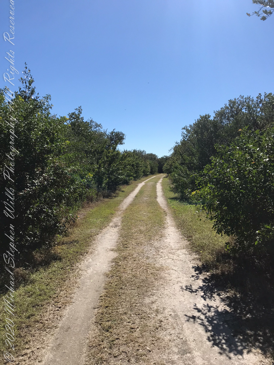
first look
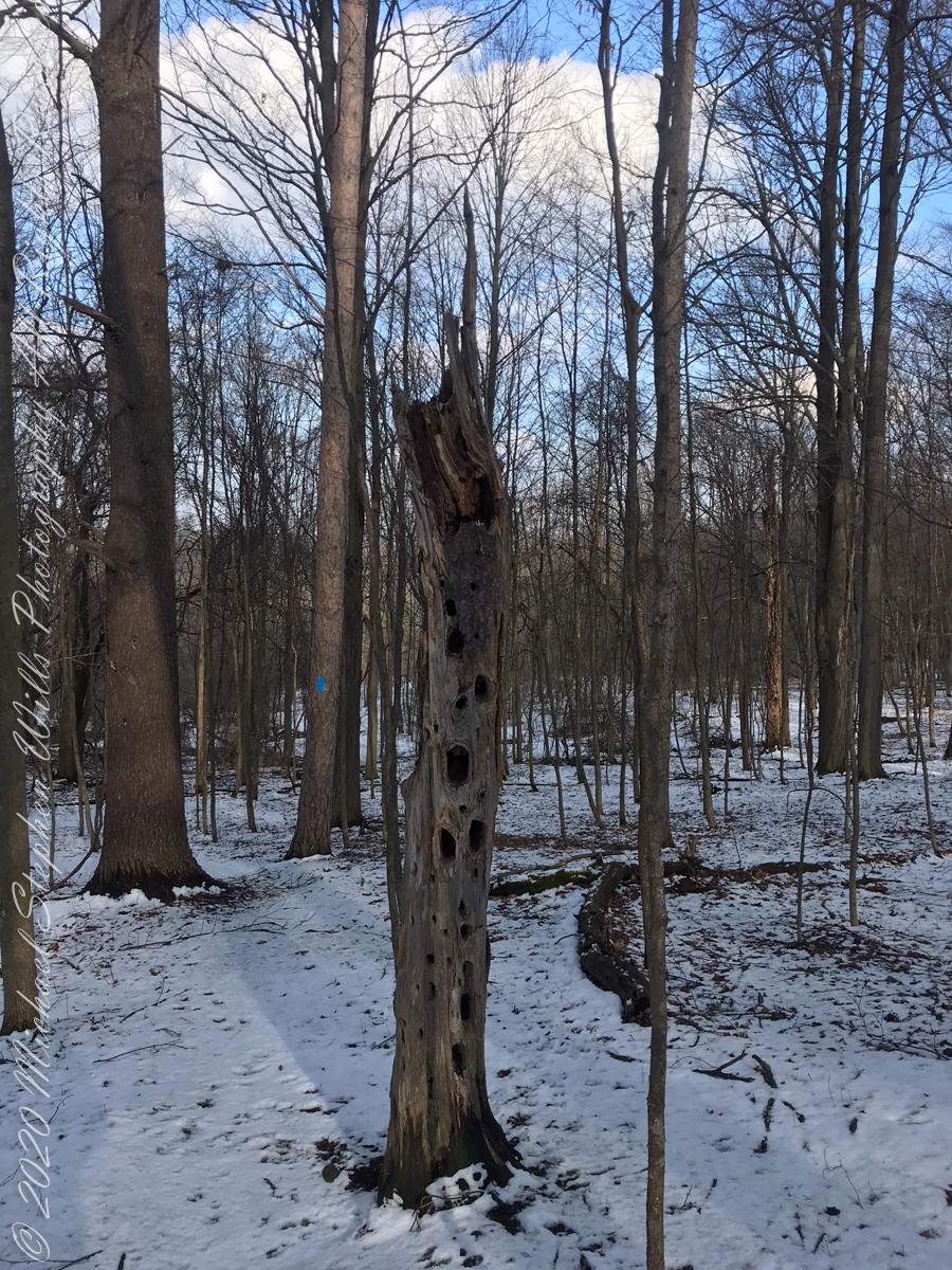
On September 14, 2013, the Bock-Harvey Forest Preserve was dedicated protecting 48 acrea of open meadow, transitional meadow, mixed hardwood forest, a special environmental protection zone and the Finger Lakes Trail. Brock-Harvey Forest Preserve, and all land as far as the eye can see from there, was part of the Military Tract of Central New York, 28 townships given classical Greek and Roman names, each township 100 lots of 600 acres each, approved by the U.S. Congress 1799. Here, the township was Ulysses, encompassing the southern end of Cayuga Lake and surrounding lands. Thus, the city of Ithaca and Hector Street winding up from the valley passing below our home.
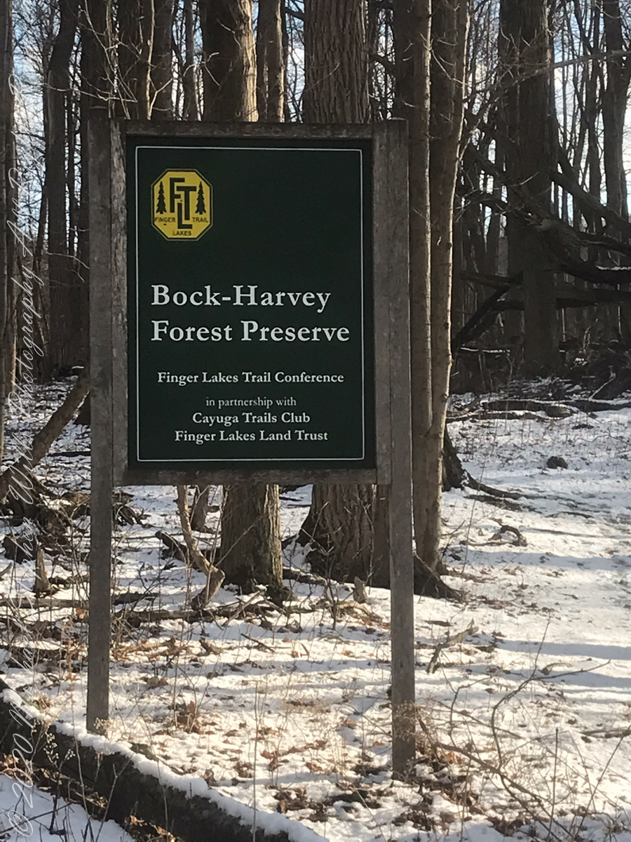
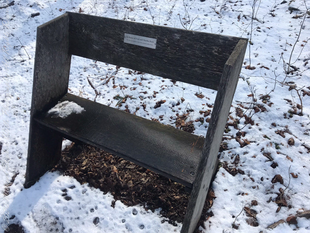
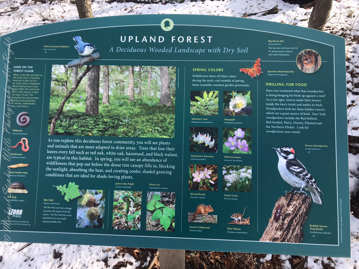
This land and several other military tracts were purchased by Samuel Harvey. He then gave he lands to his sons including this farm to Silas Harvey, the great-great-great-great grandfather of Megan Barber who led the dedication ceremony of the forest preserve. Megan’s great-grandmother Martha Harvey married Fred Bock and lived on this land used for dairy farming for over 150 years.
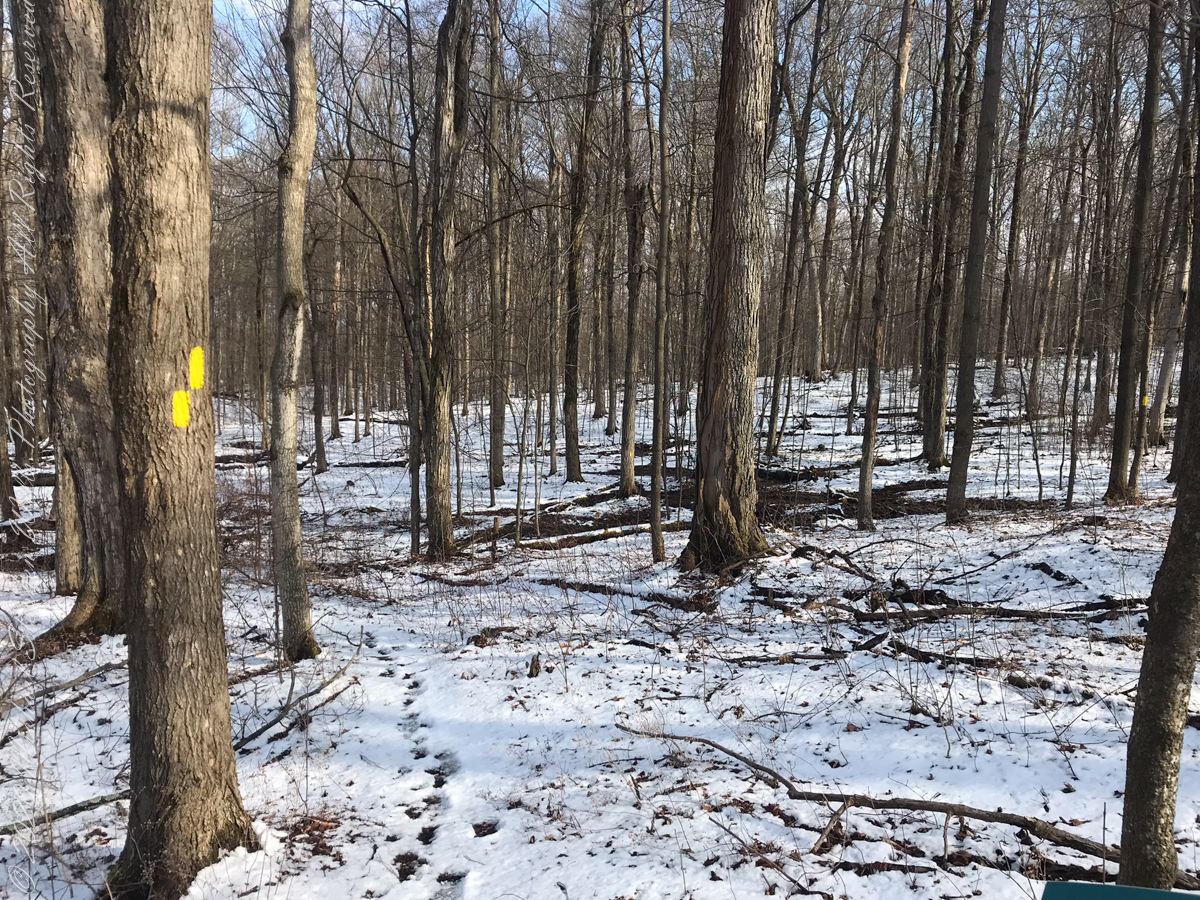
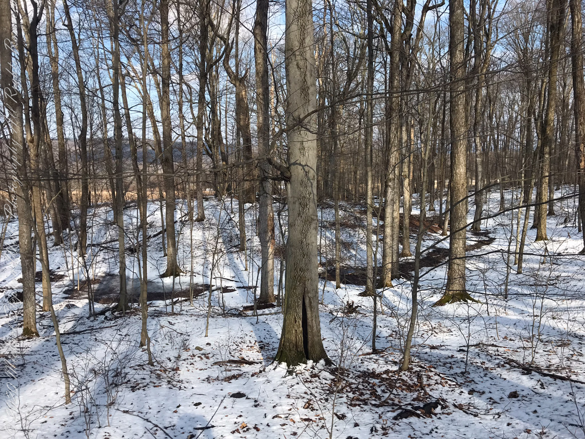
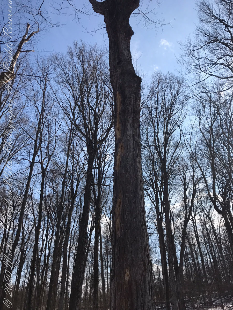
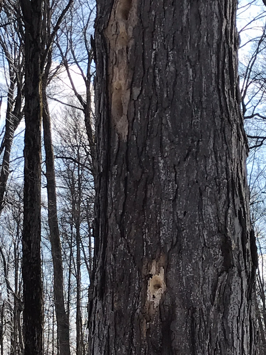
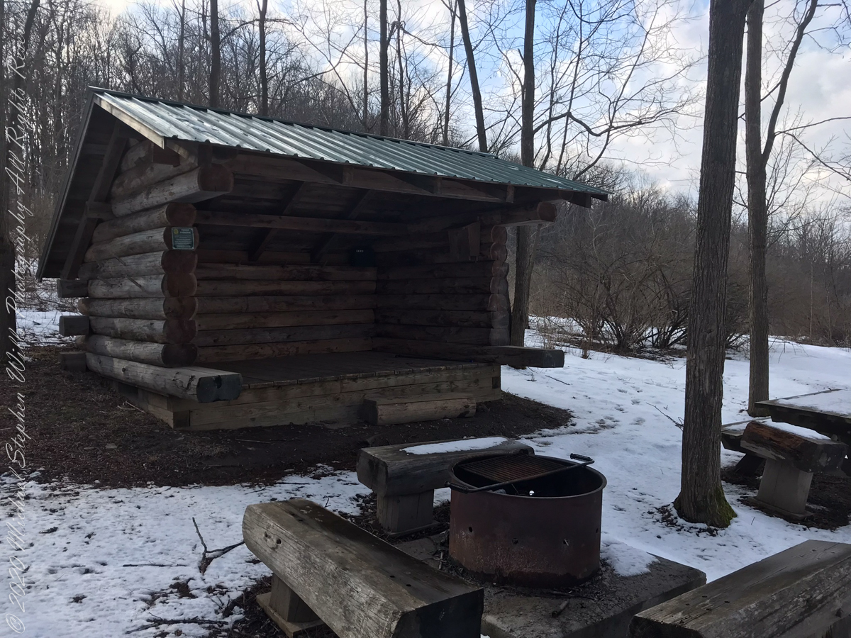
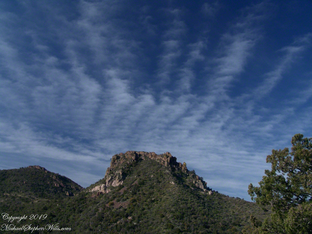
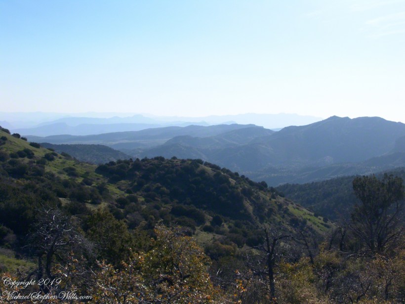
The preserve exceeded my expectations for great upland views.

The background on the land was taken from a posting on the preserve and from Wikipedia, “Military Tract of Central New York.”
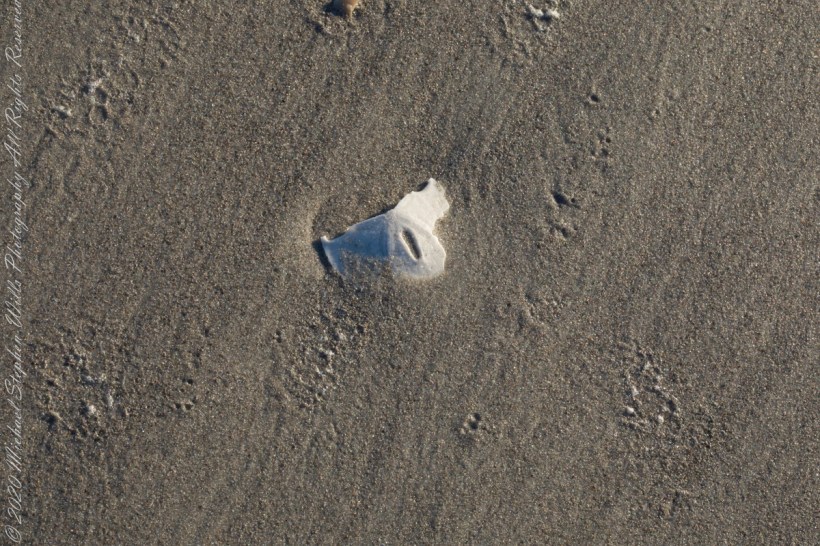
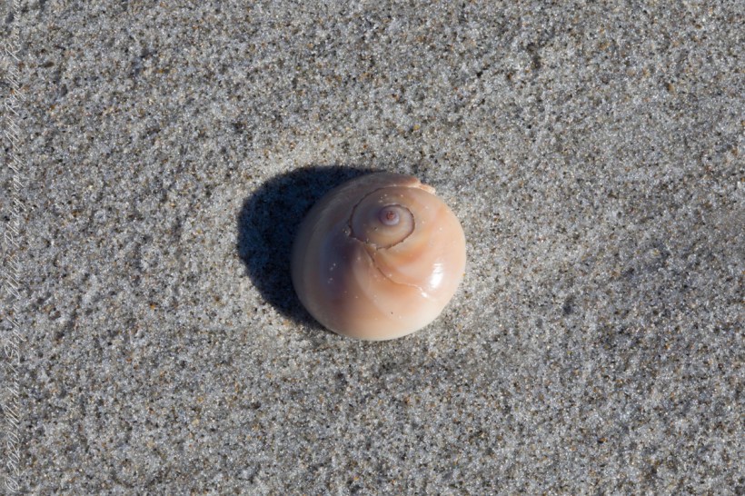
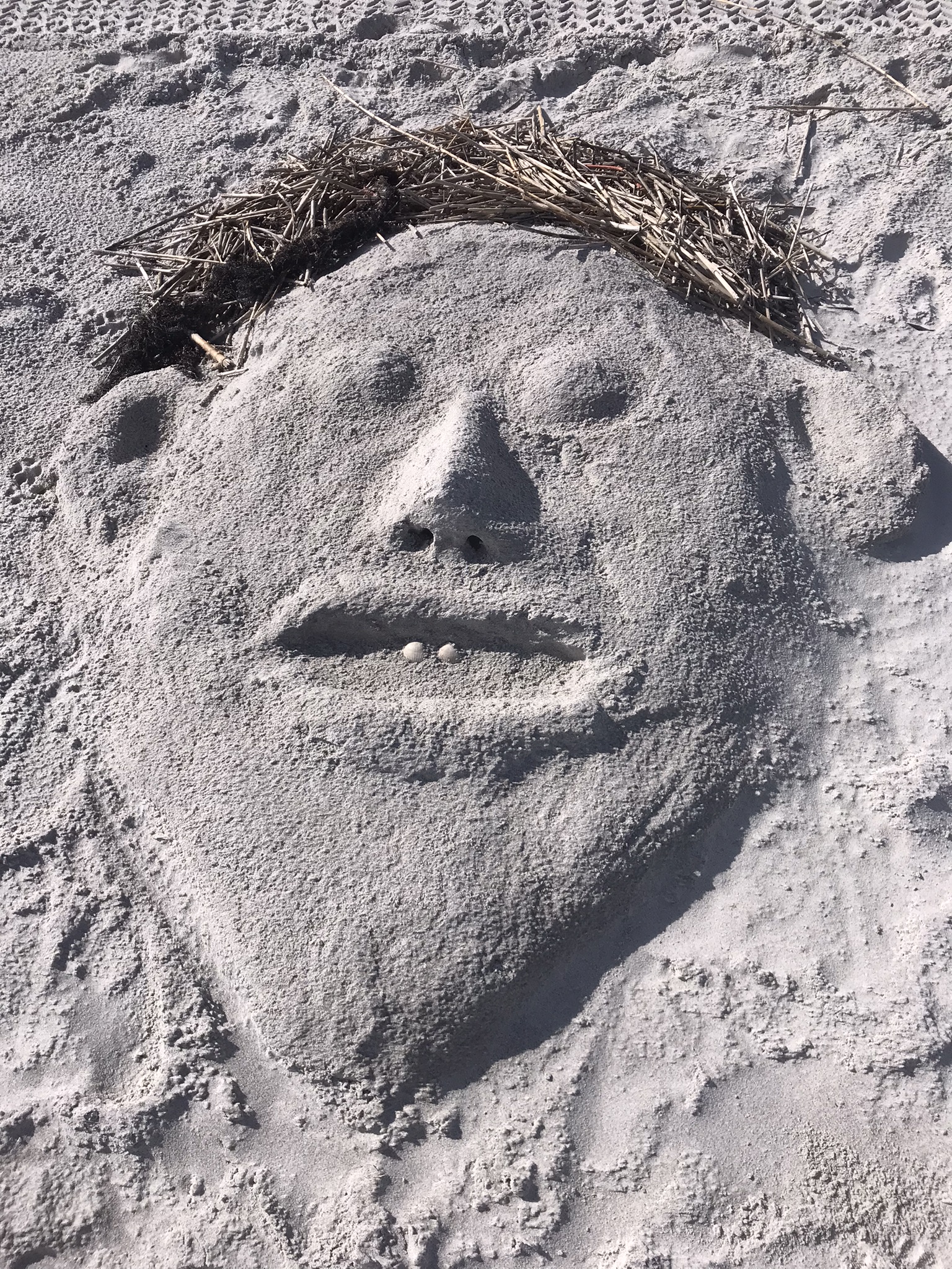
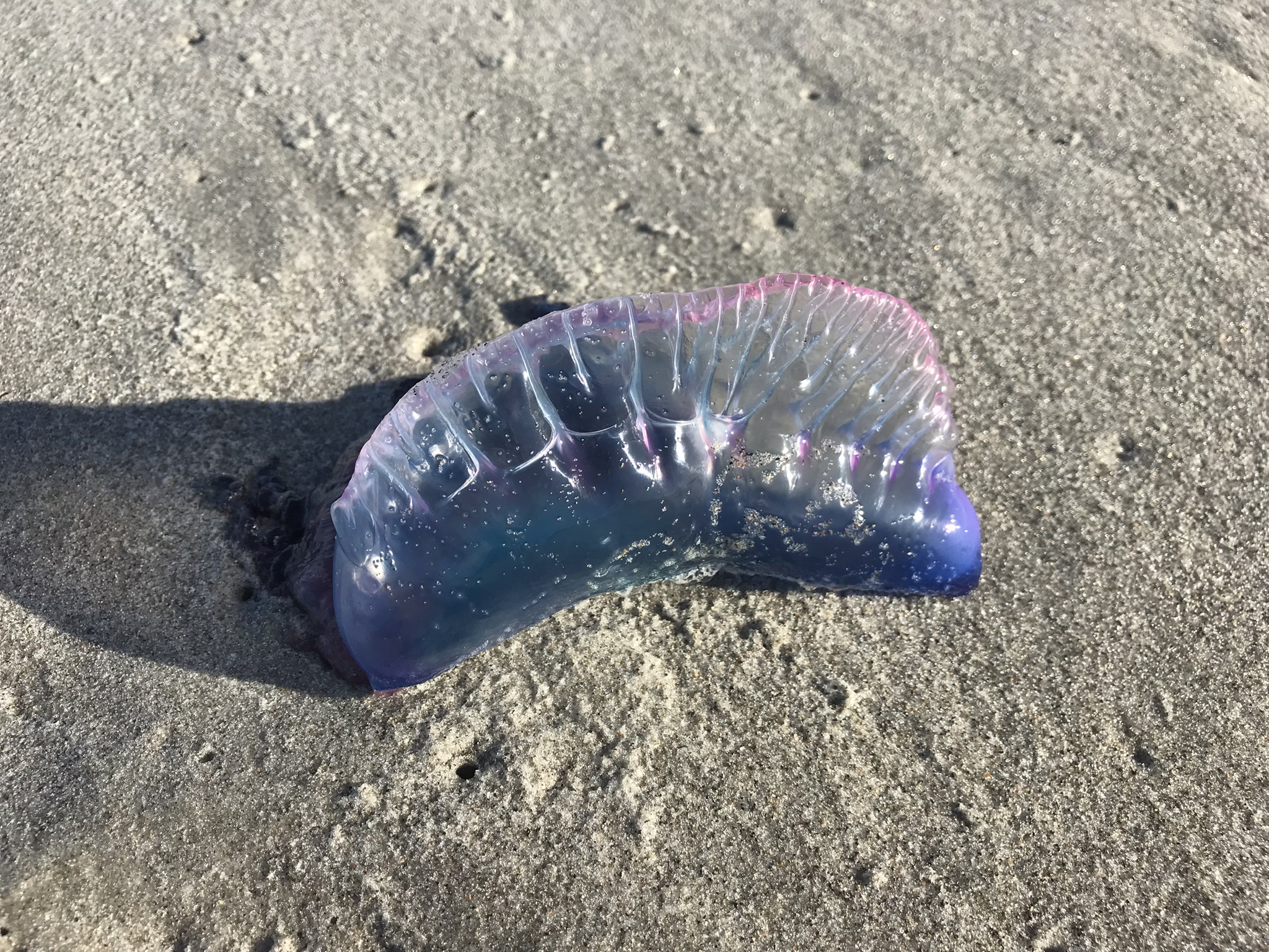
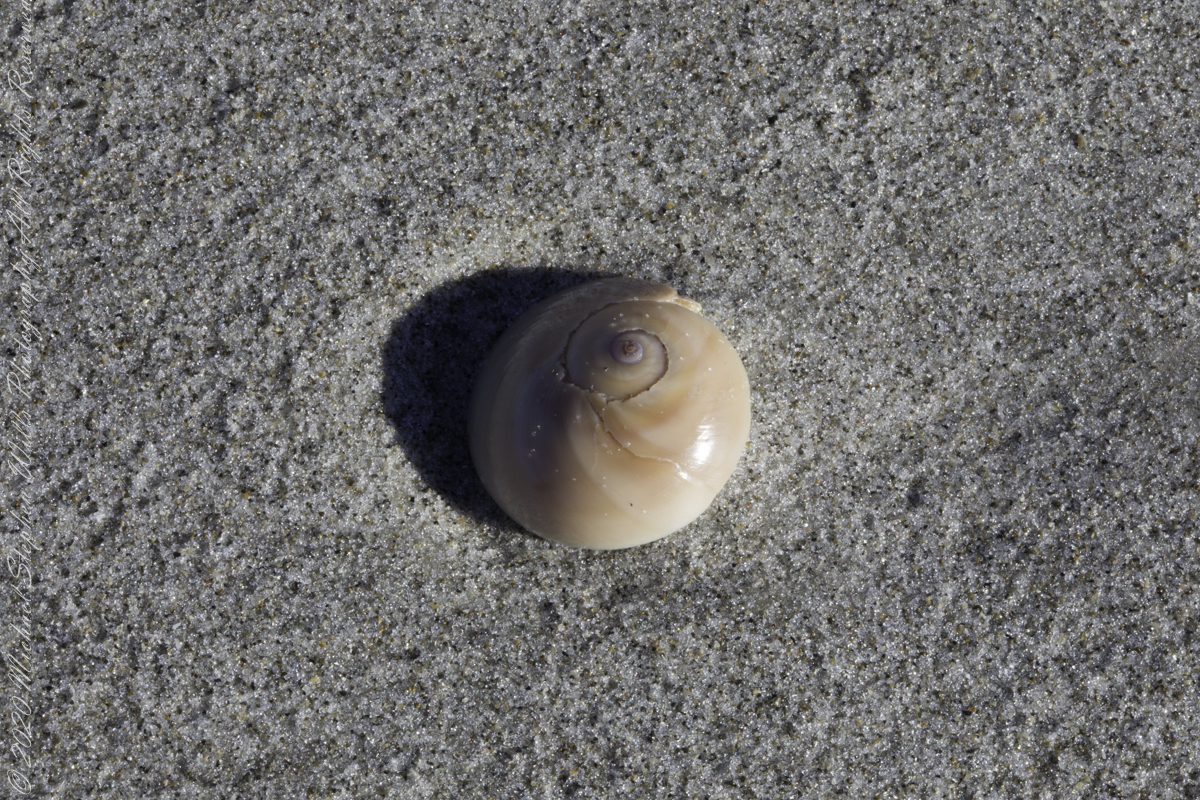
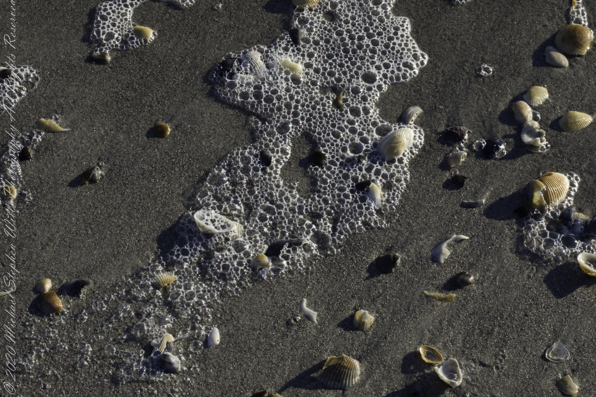
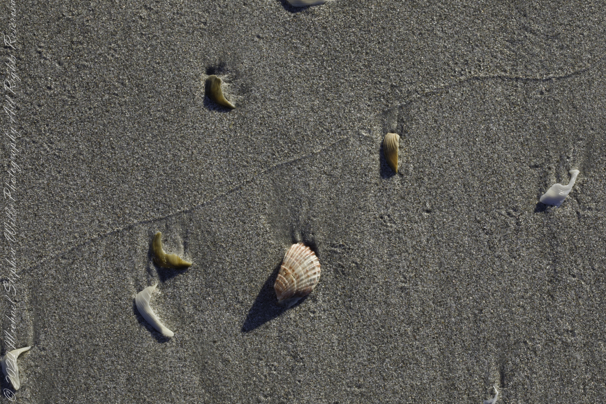
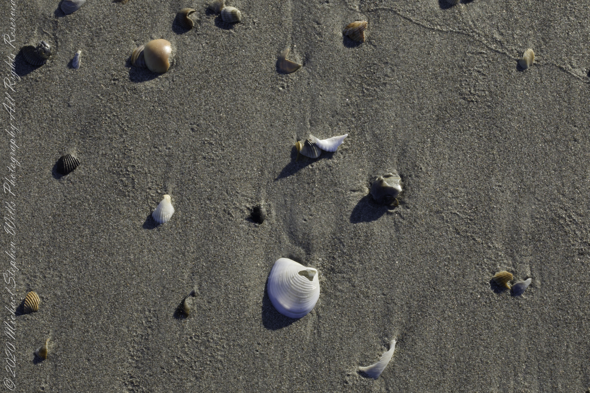
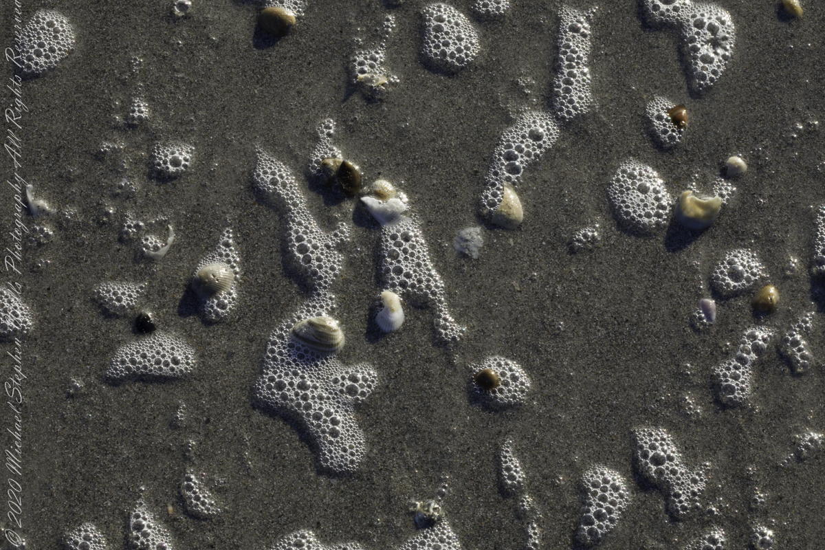
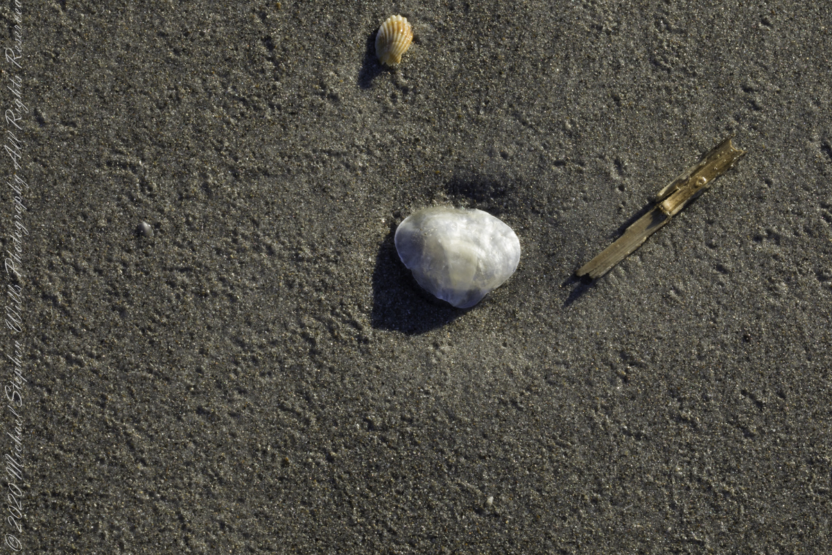
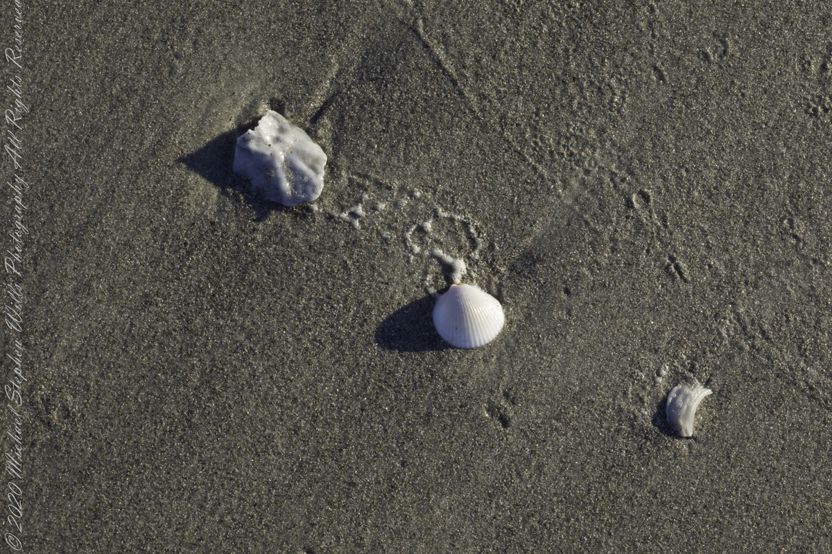
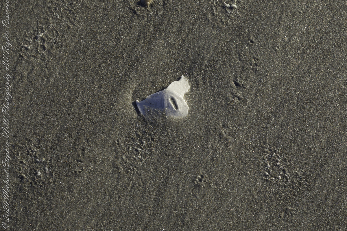
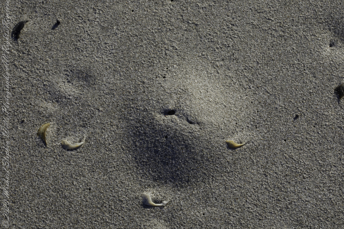
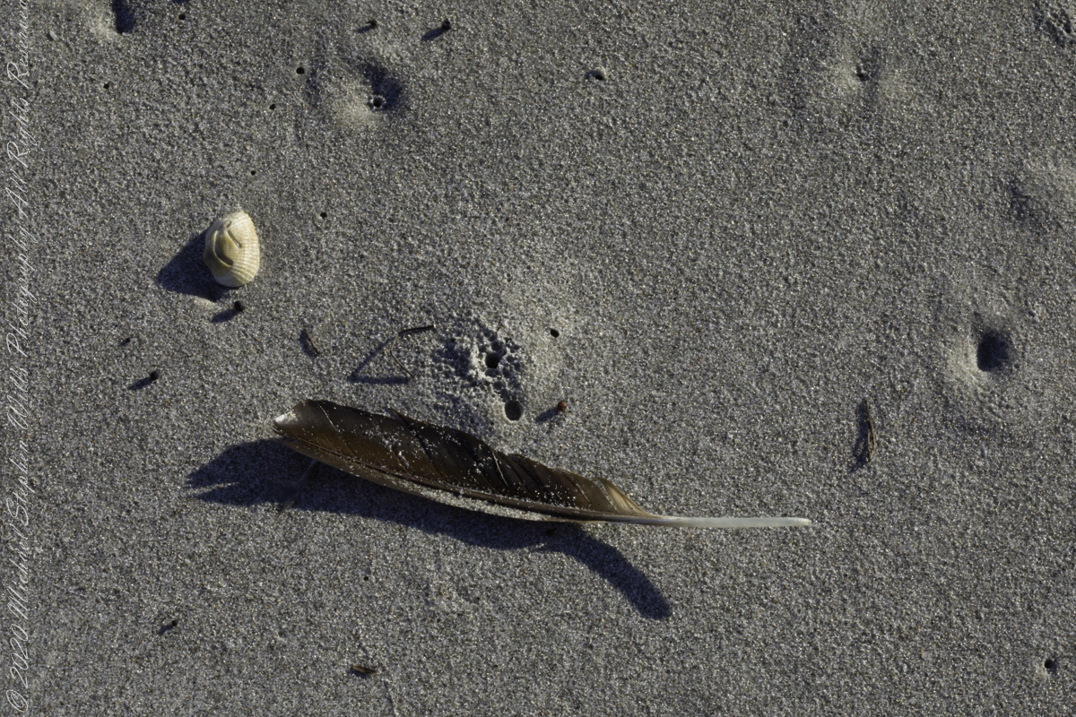
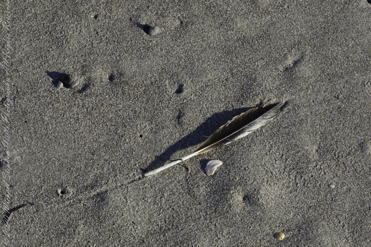
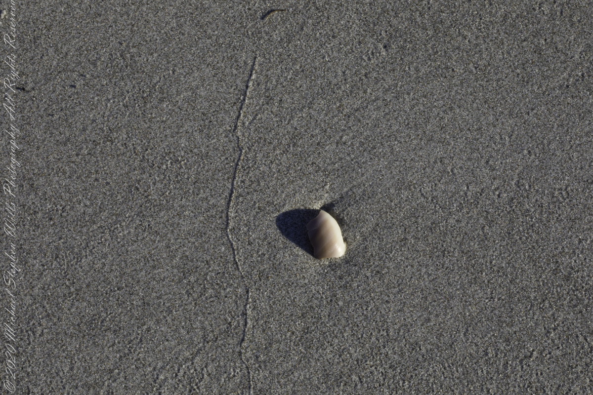
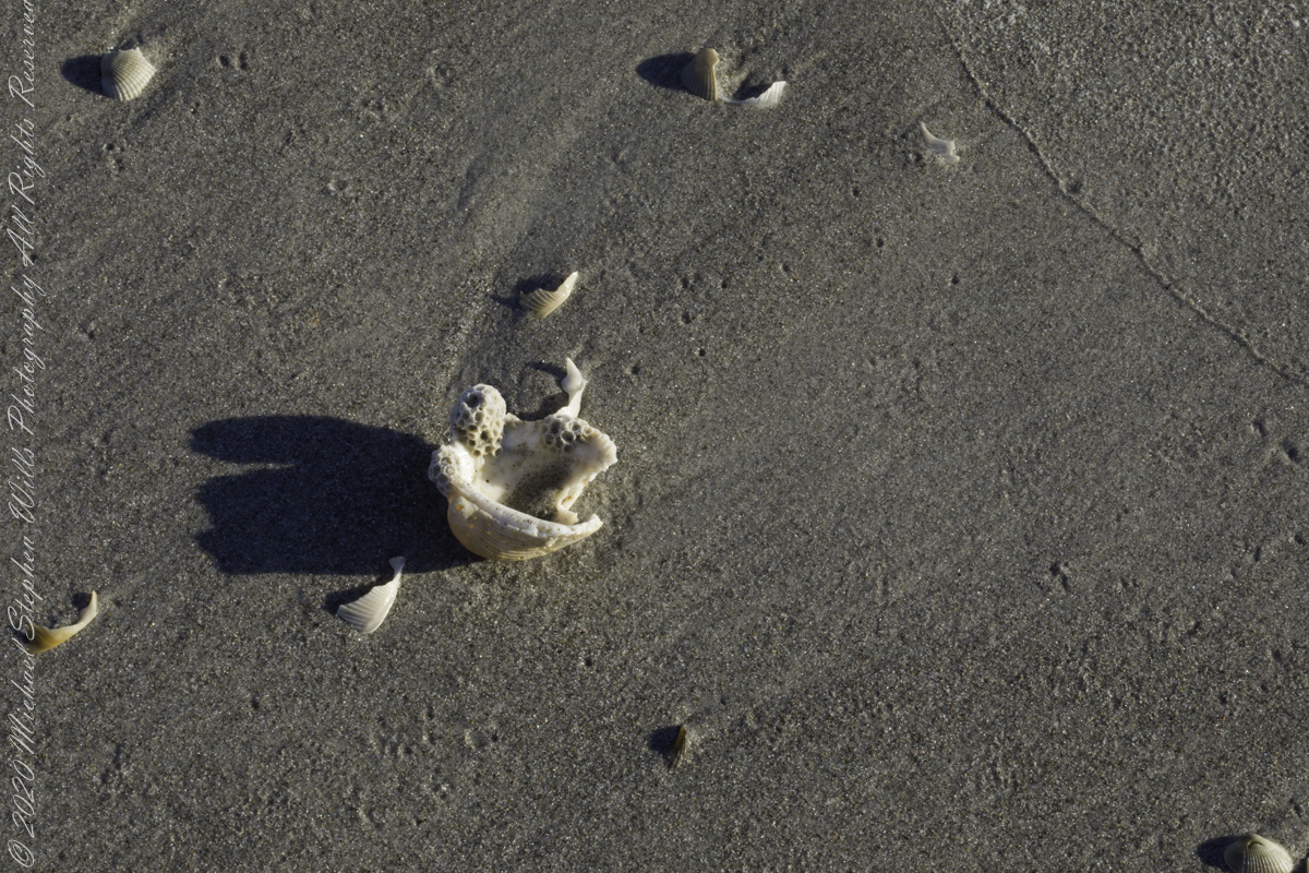
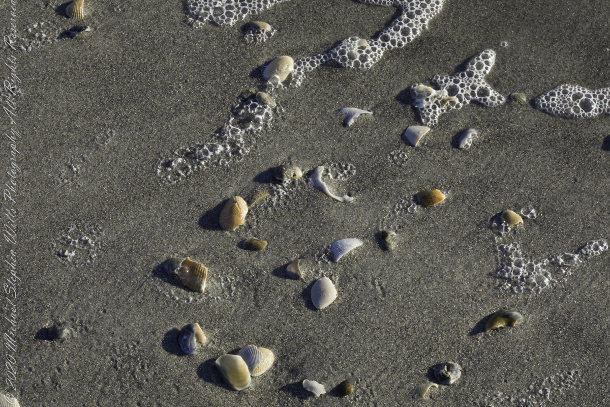
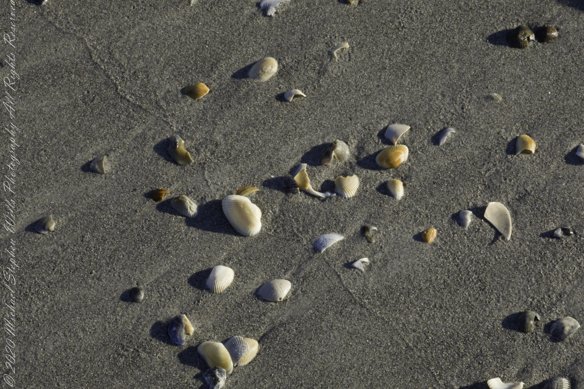
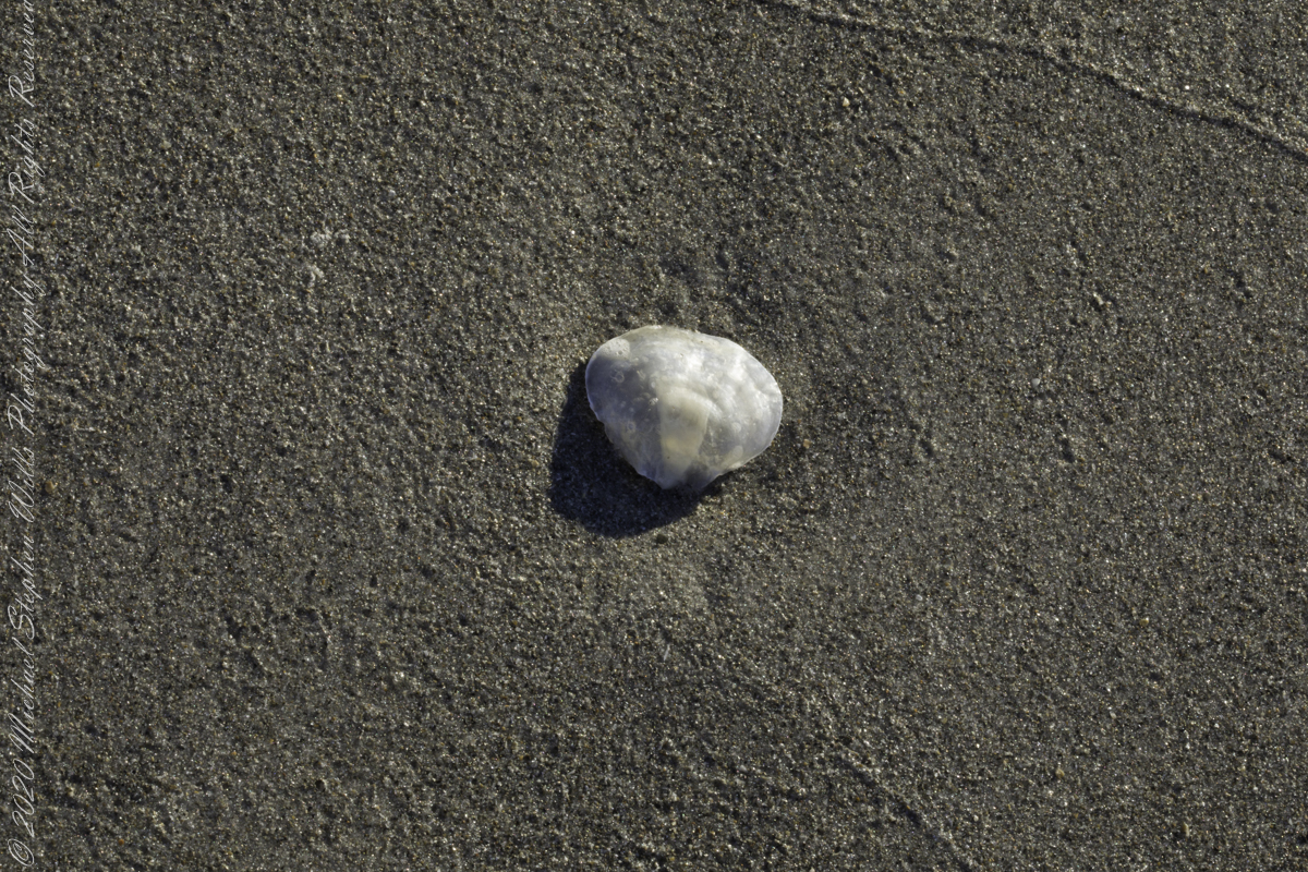
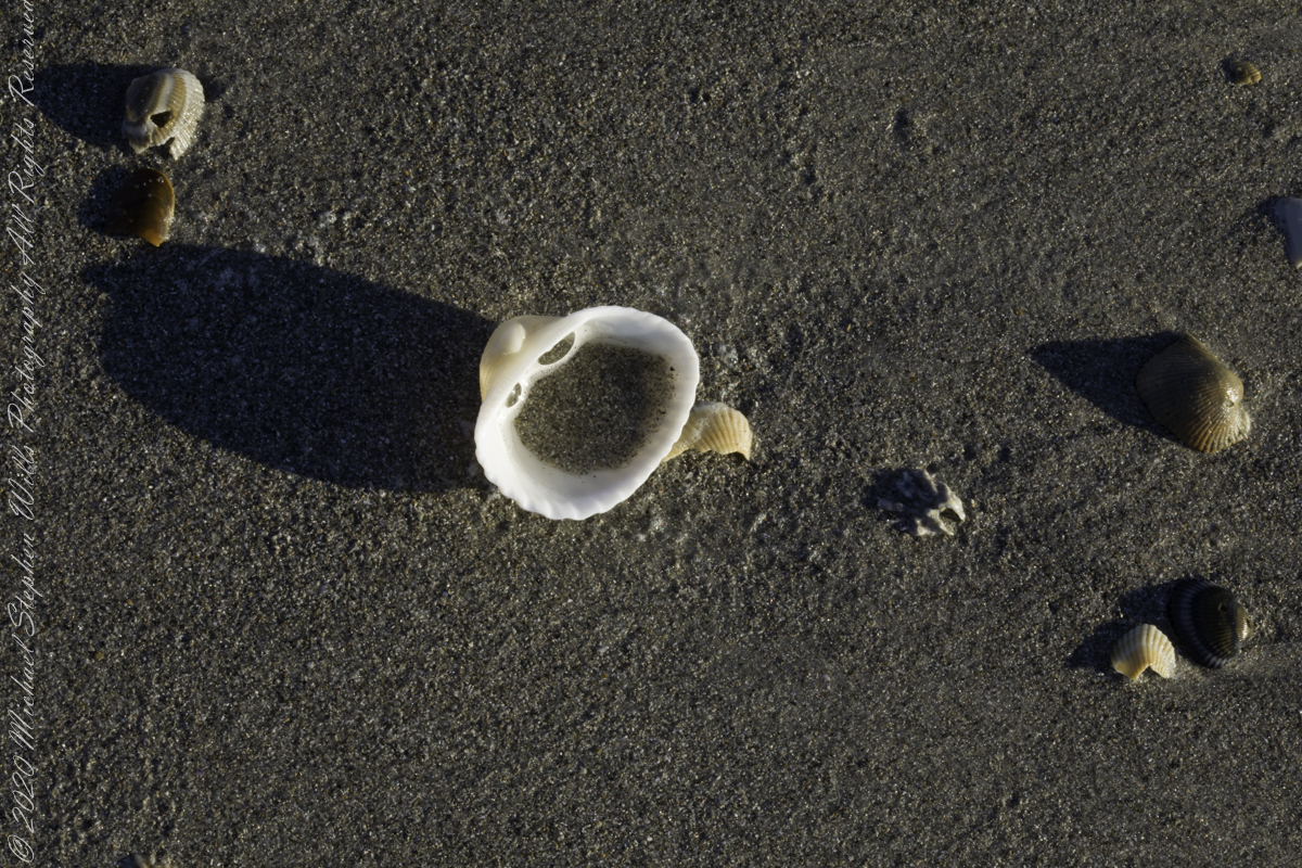
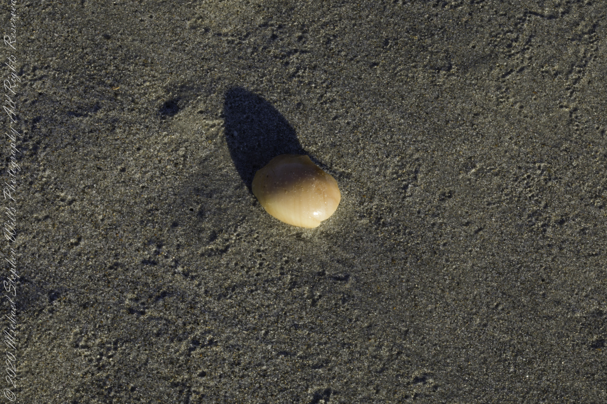
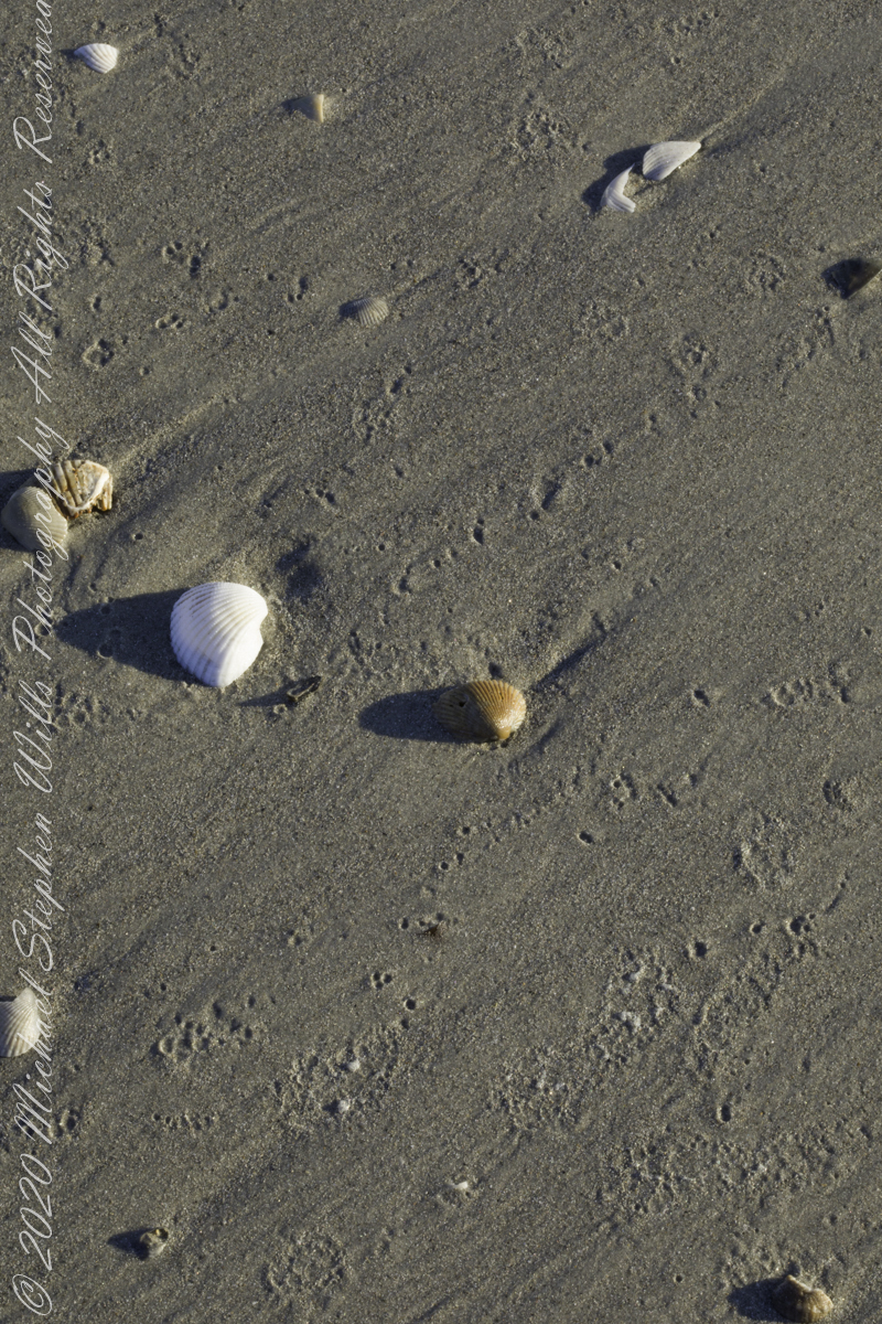
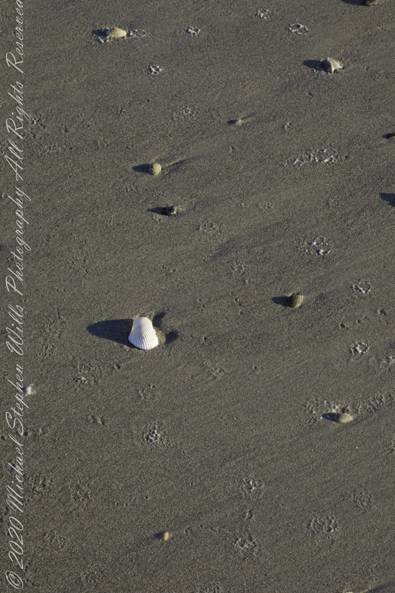
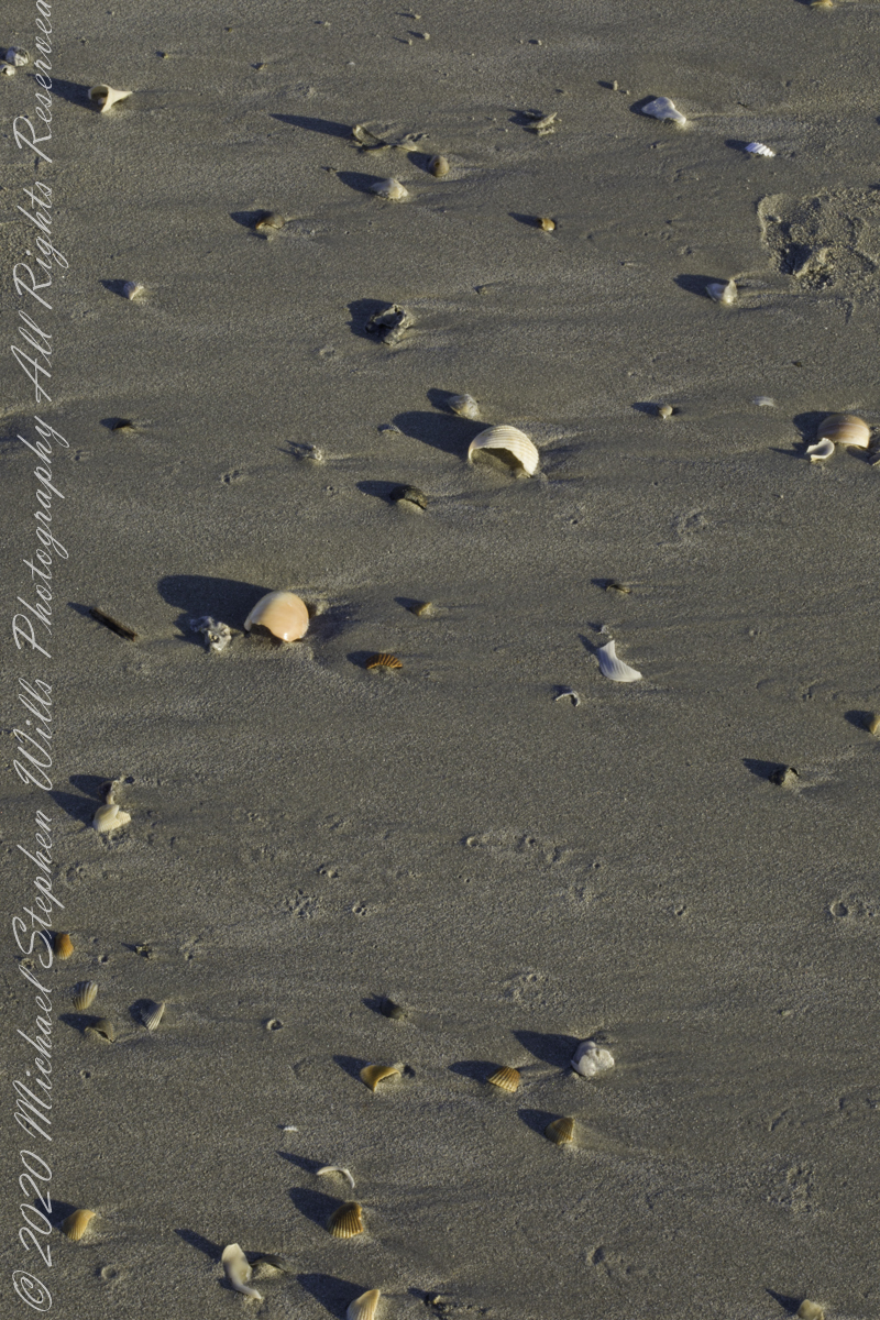
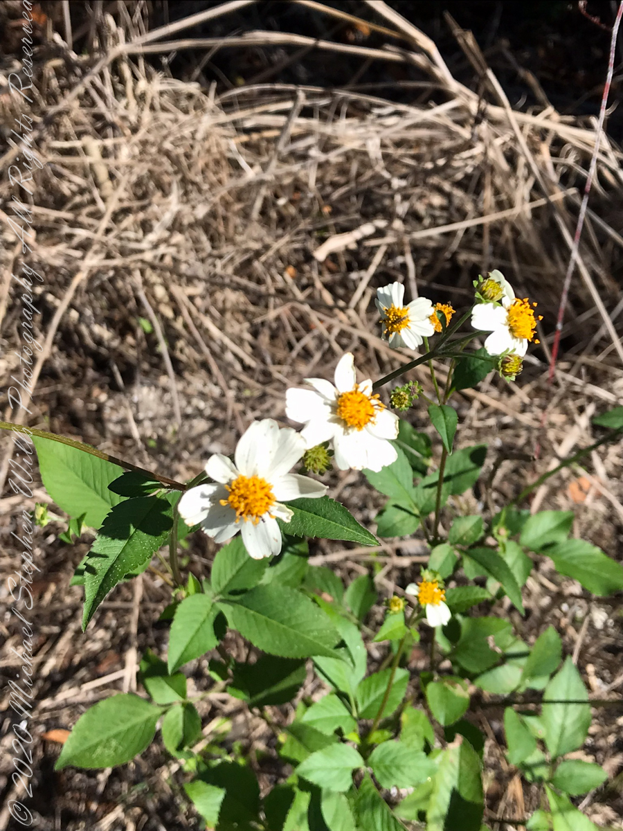
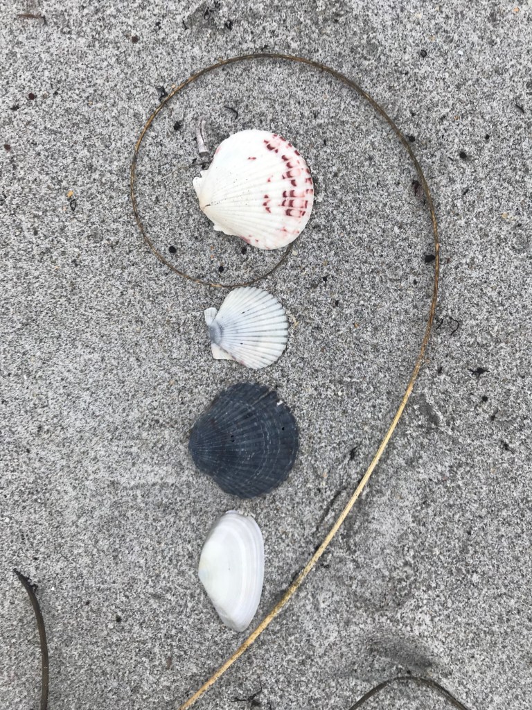
A beach littered with wonders
The same day I captured “Rosy Fingers of Dawn” and “Oceans Eons”, these still lives were found using a 100 mm macro lens.
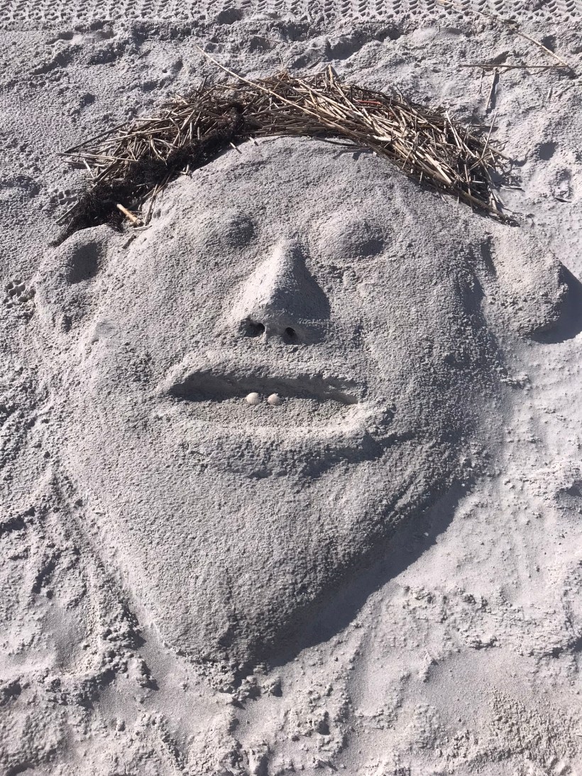
The following I reserved for our private enjoyment.
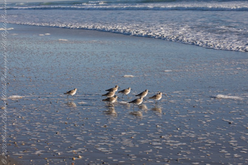
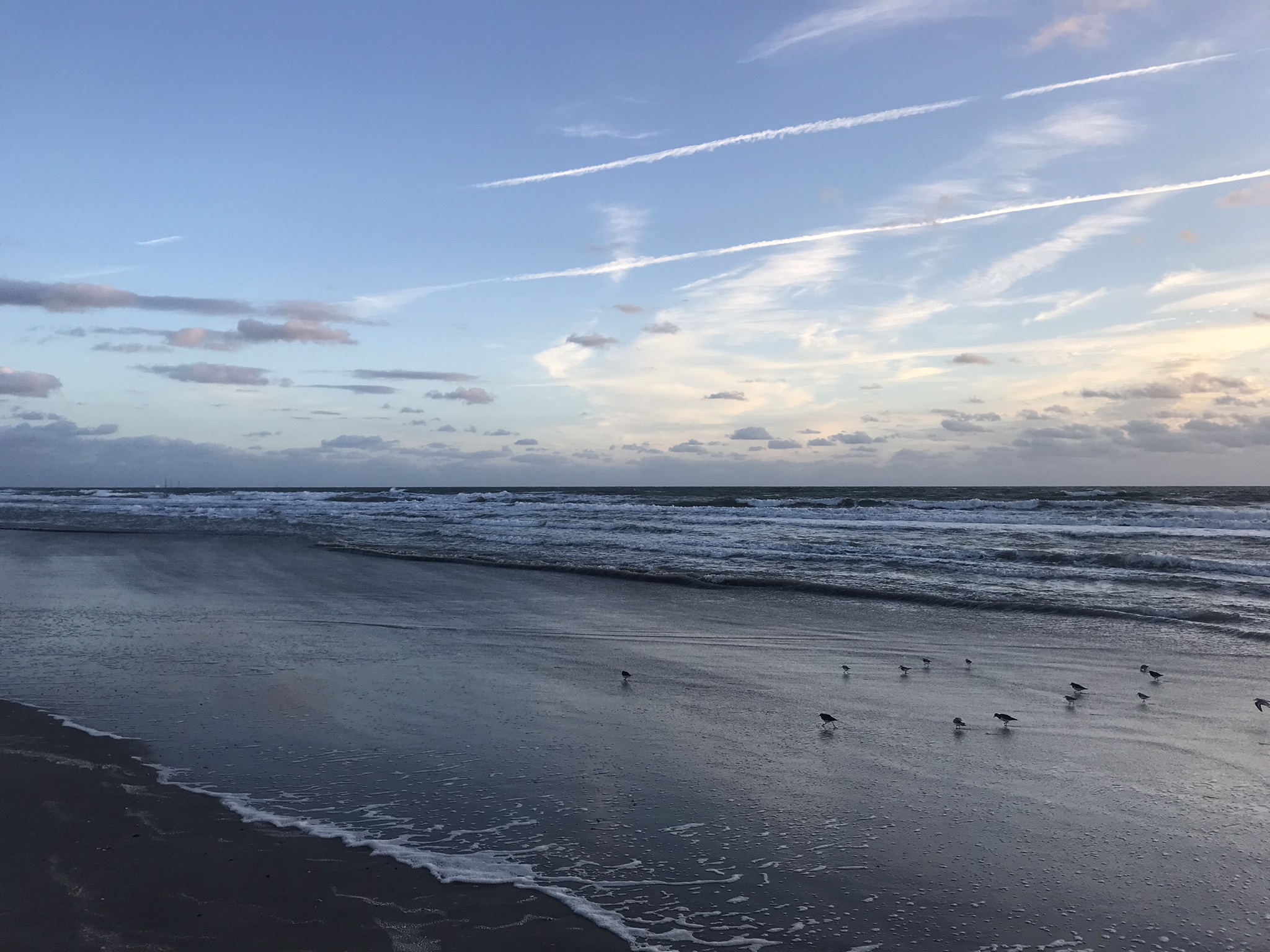
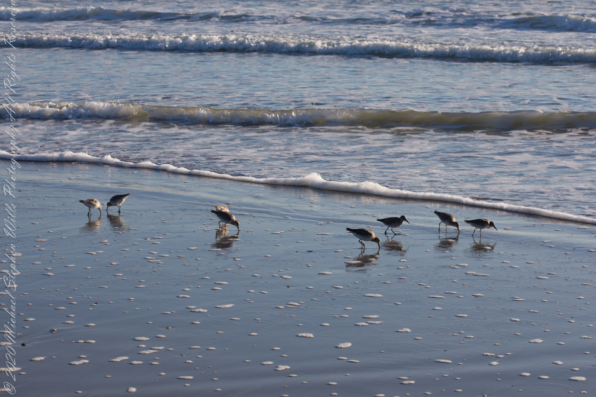
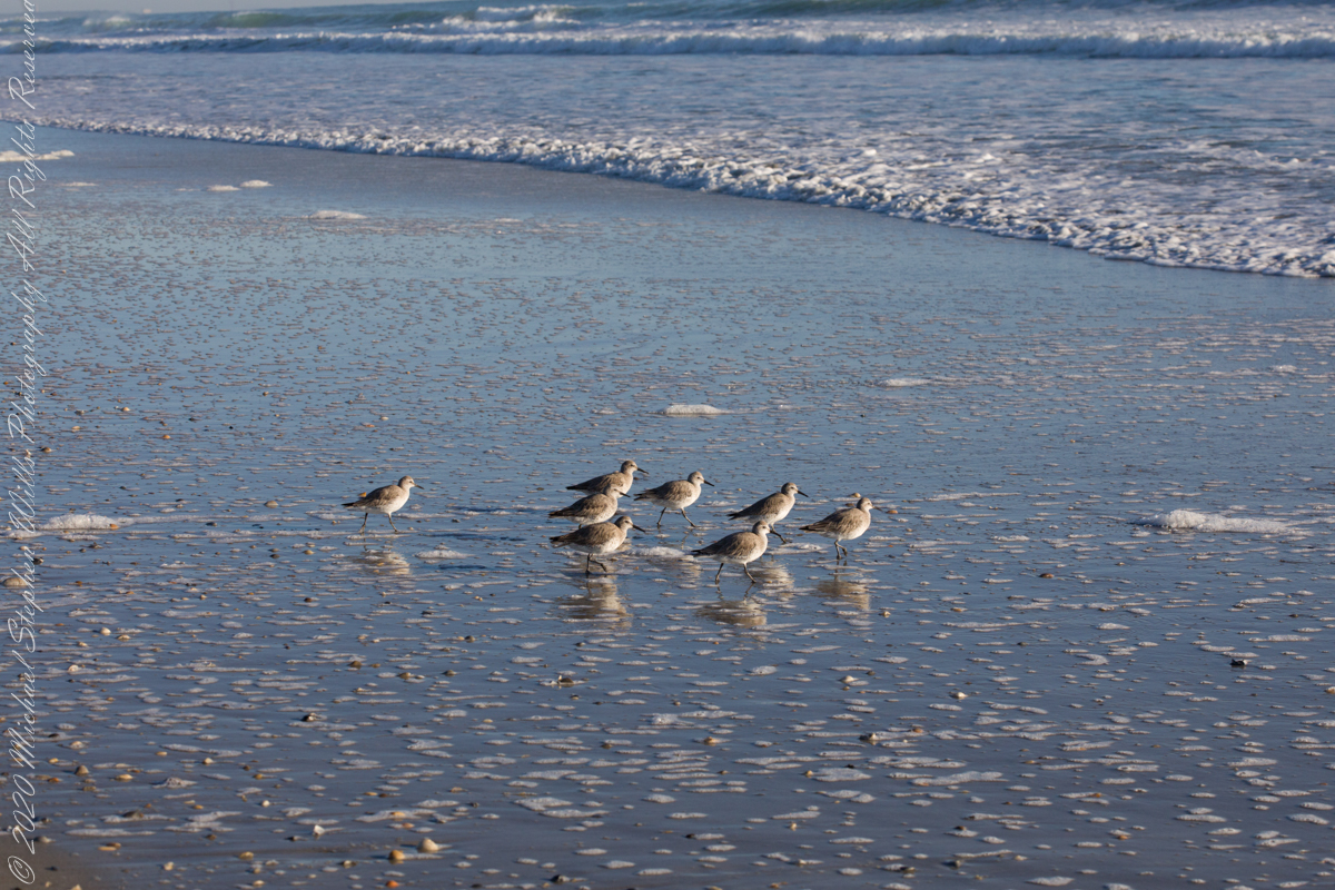
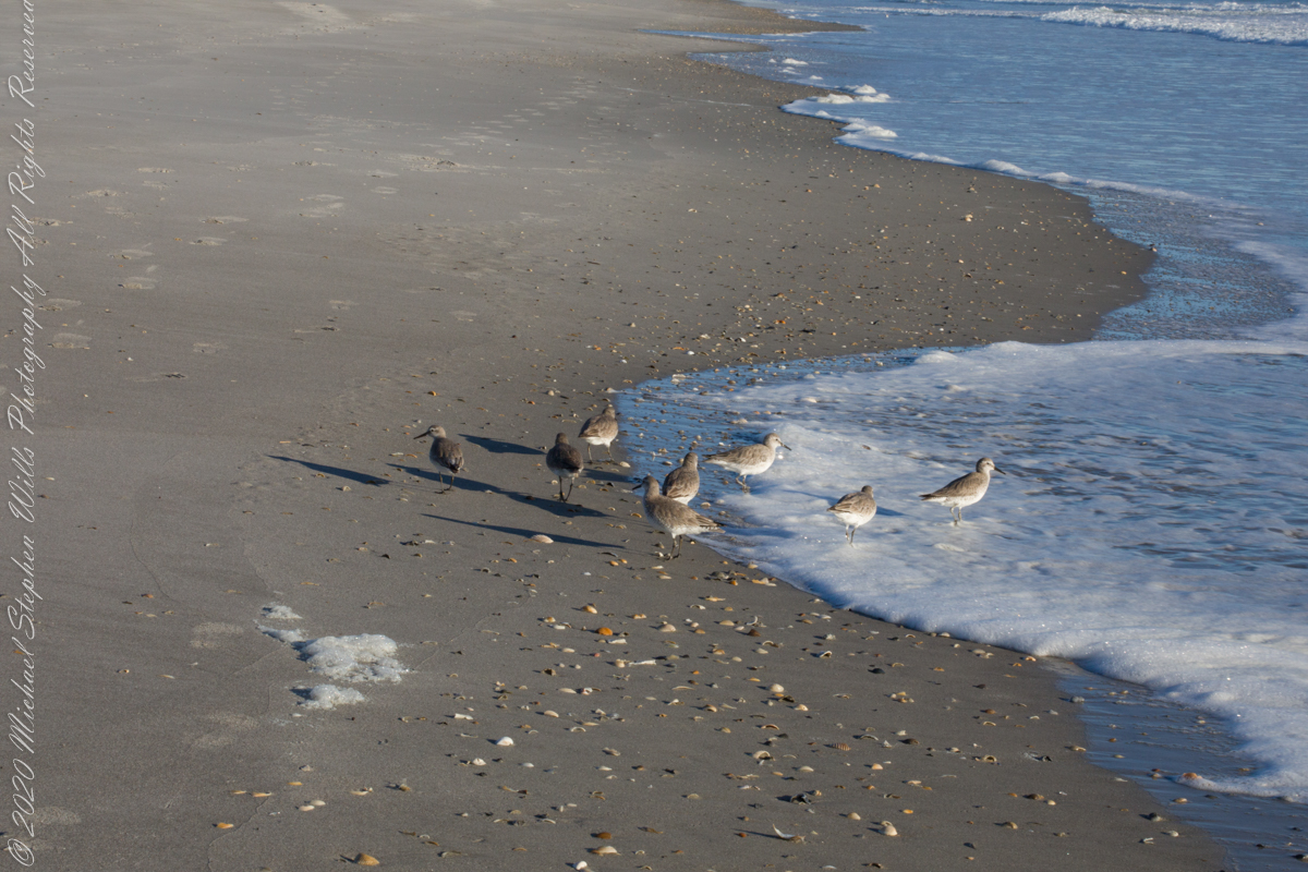
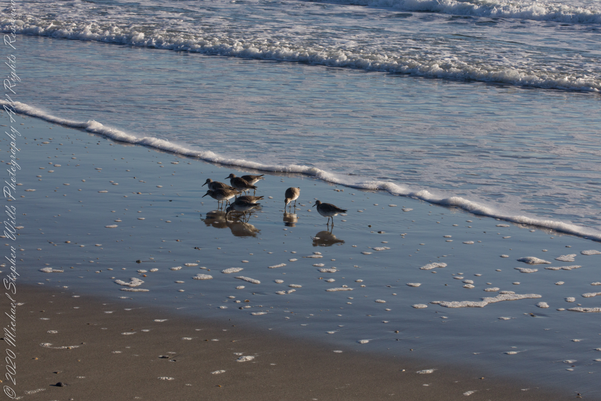
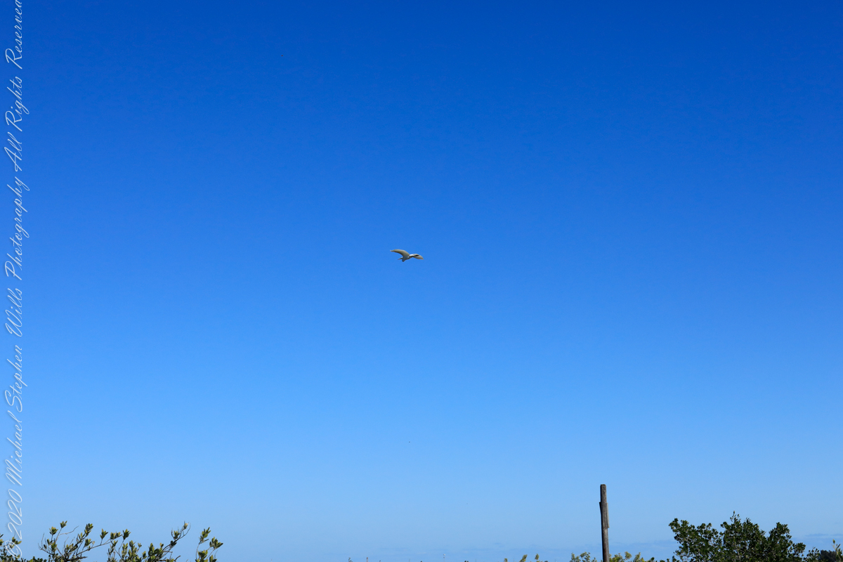
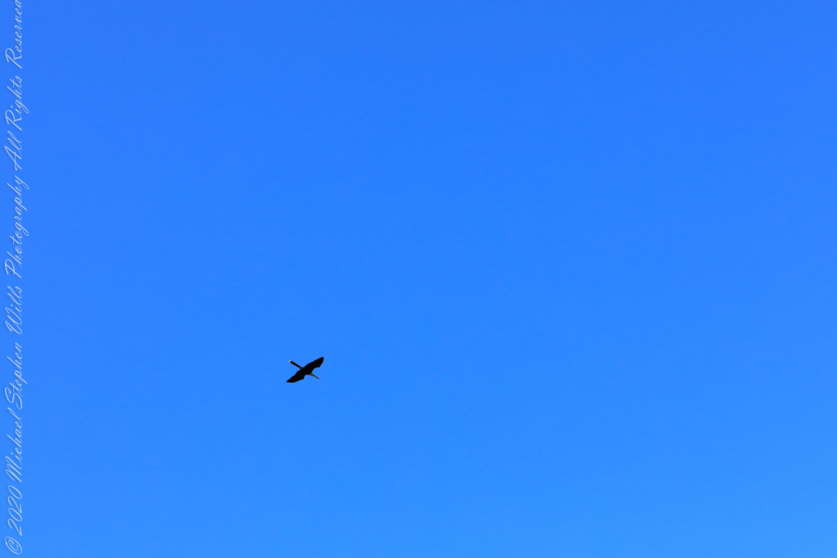
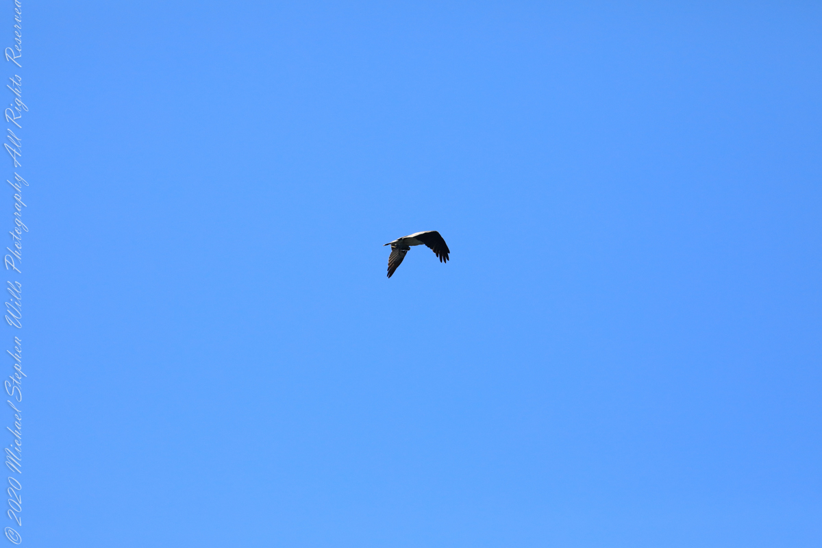
Ocean Bounty Brings Solitary Birds Together
Walking mornings along the beach I encounter, one after the other, solitary sandpipers, called Willets. Before encountering this group, I noticed massed Black Skimmers feeding in the surf and, on the beach, a single, tiny (1/8th of an inch) fish that I scooped up and returned to the surf. My surmise is these several days around the full moon, fish were being birthed and swarming to provide a bounty that brough these solitary Willets together.

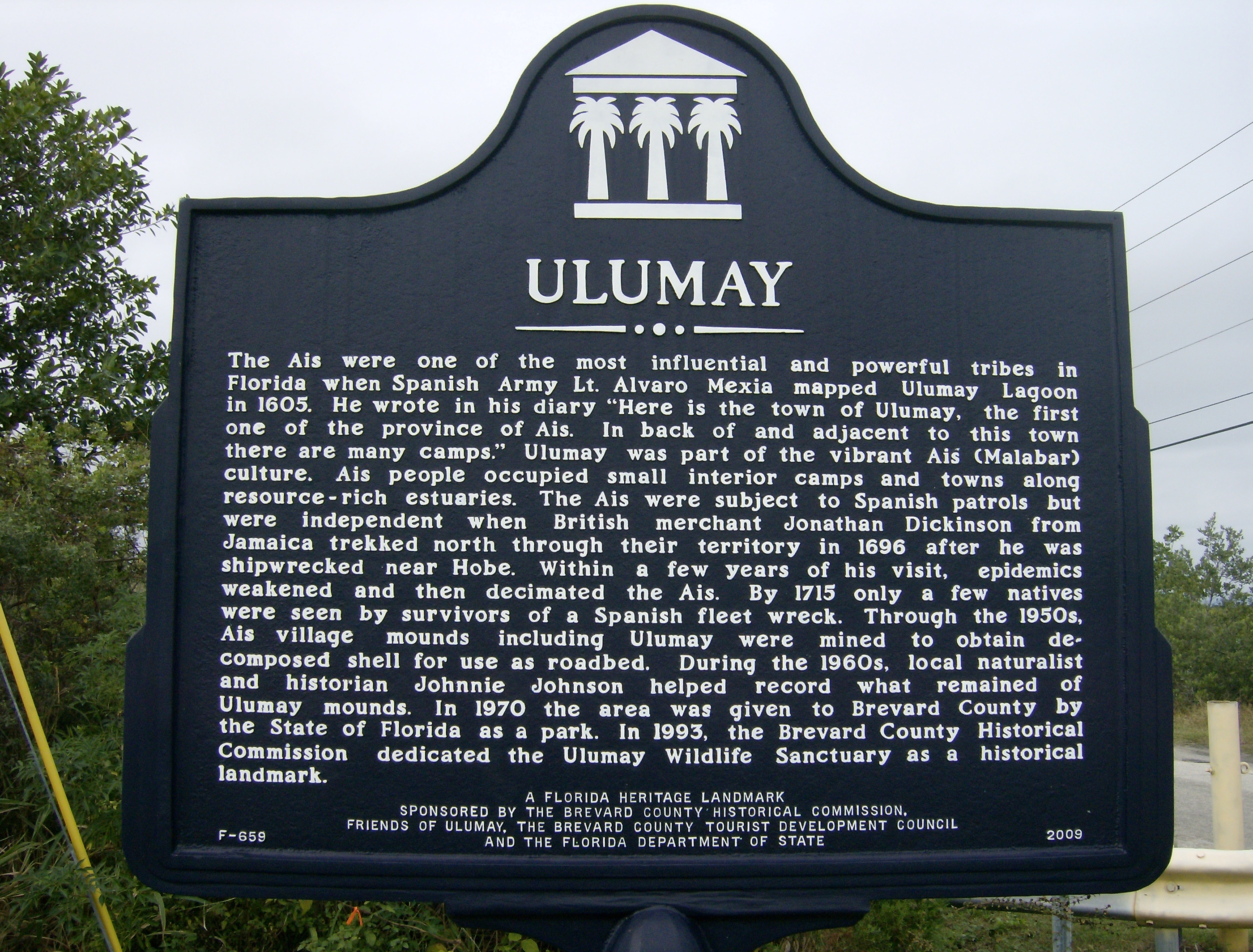
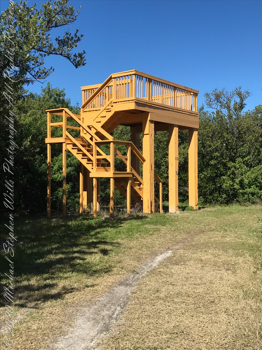
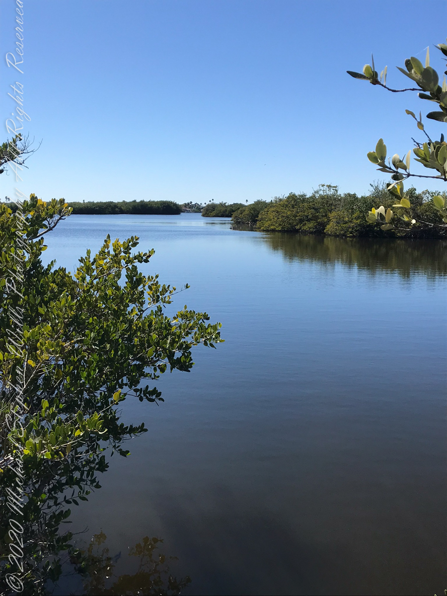
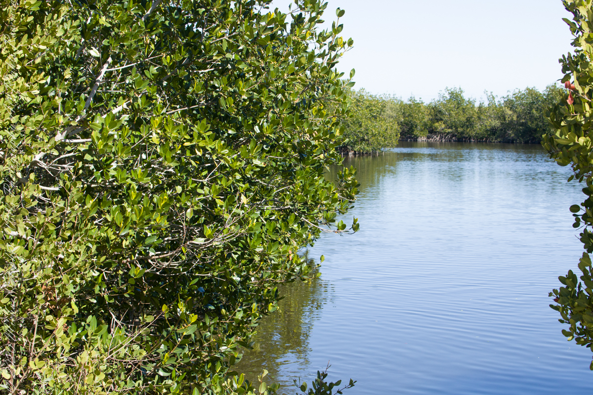
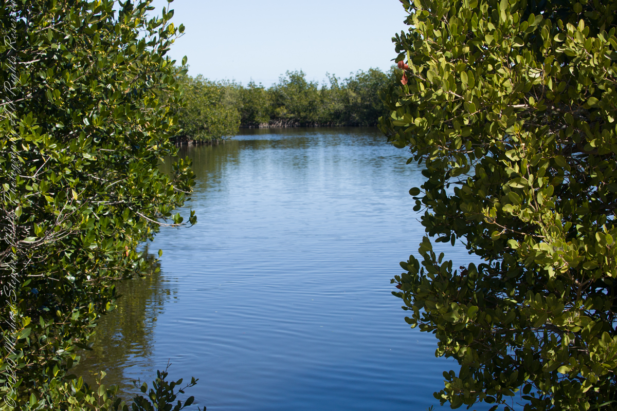
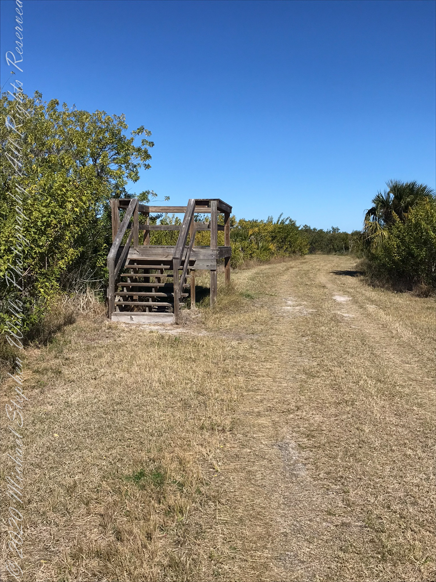
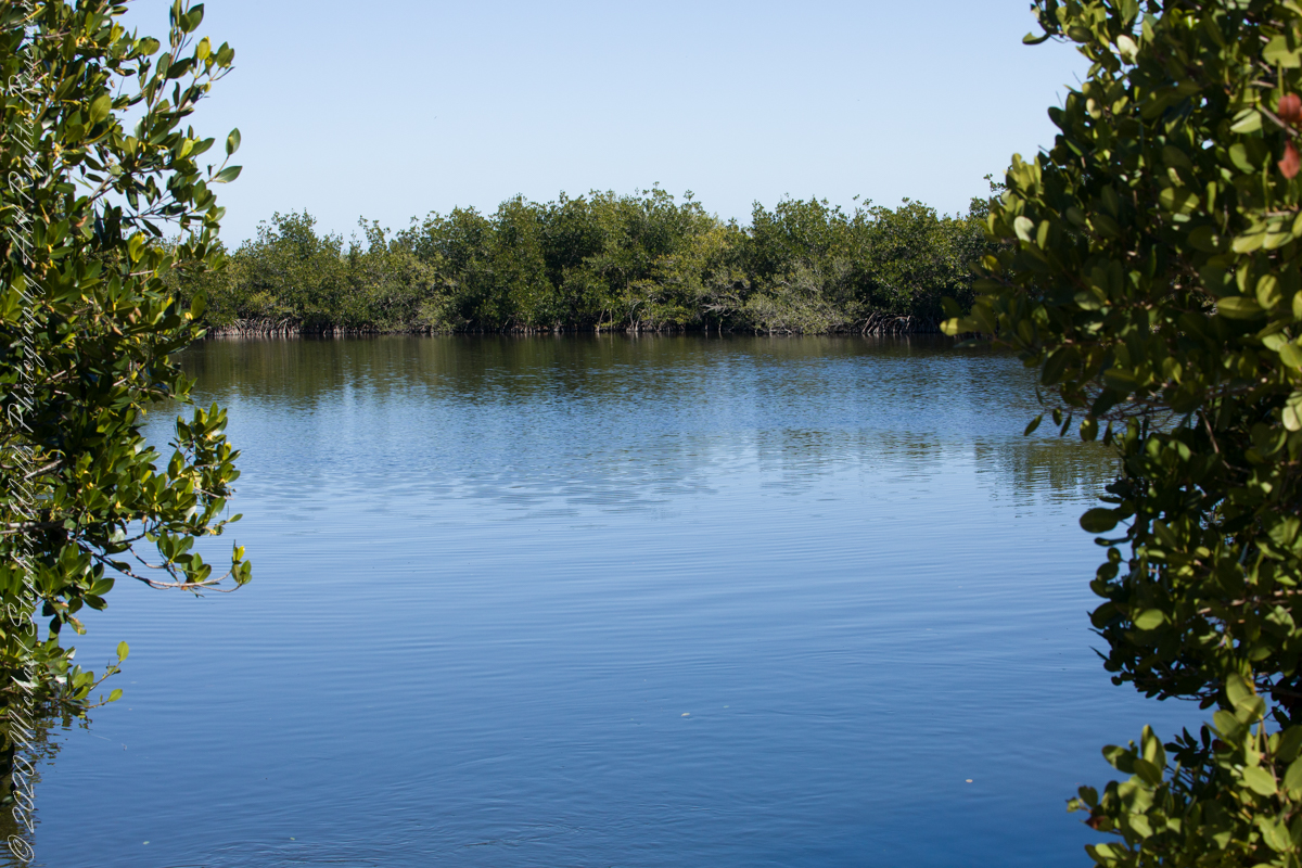
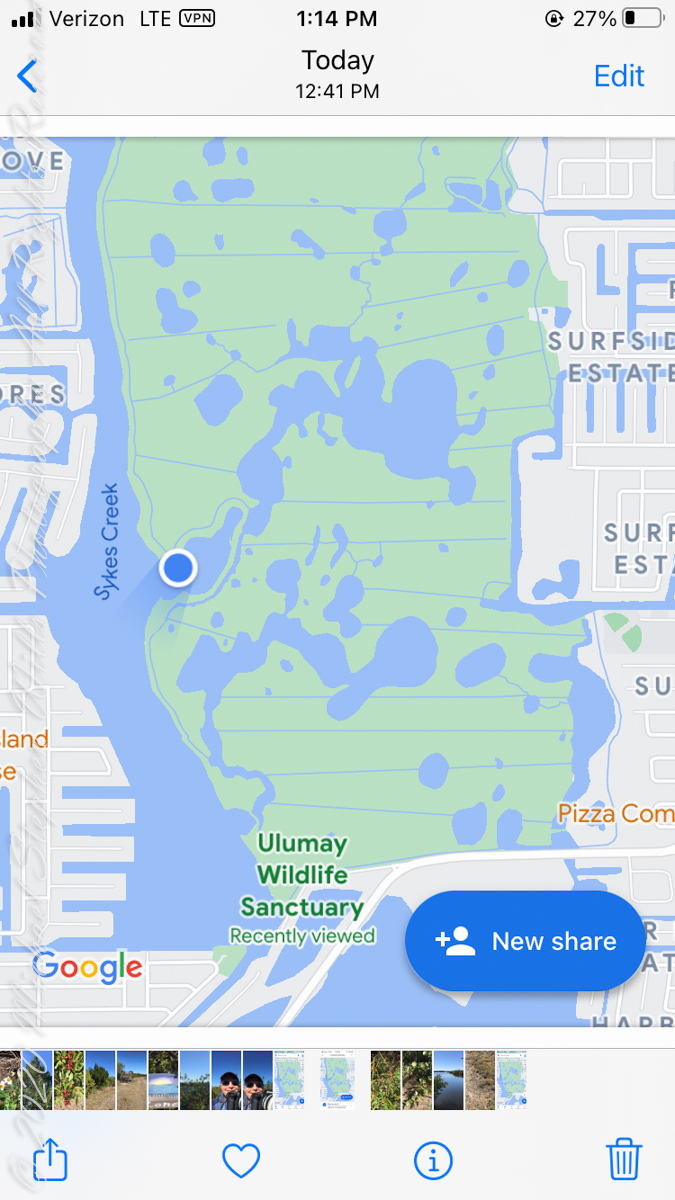
Brevard County Park on Merrit Island
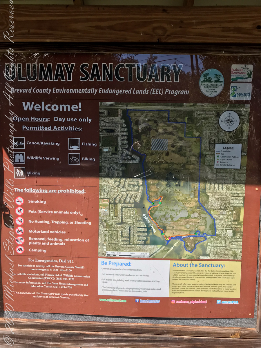
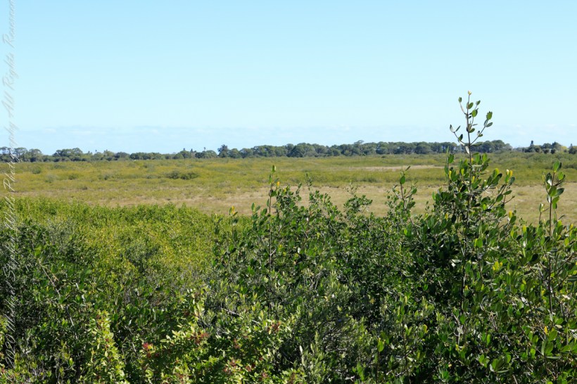
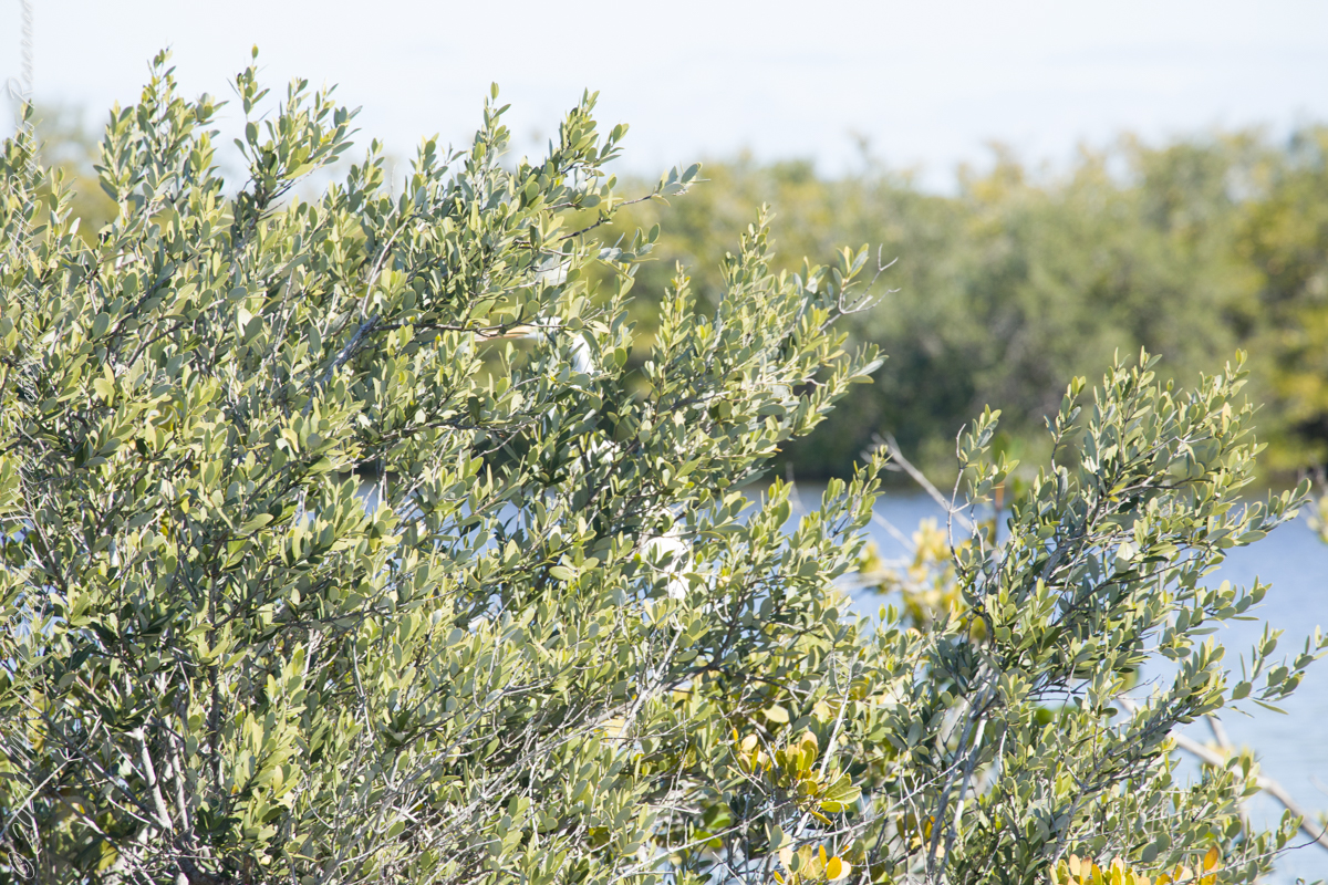
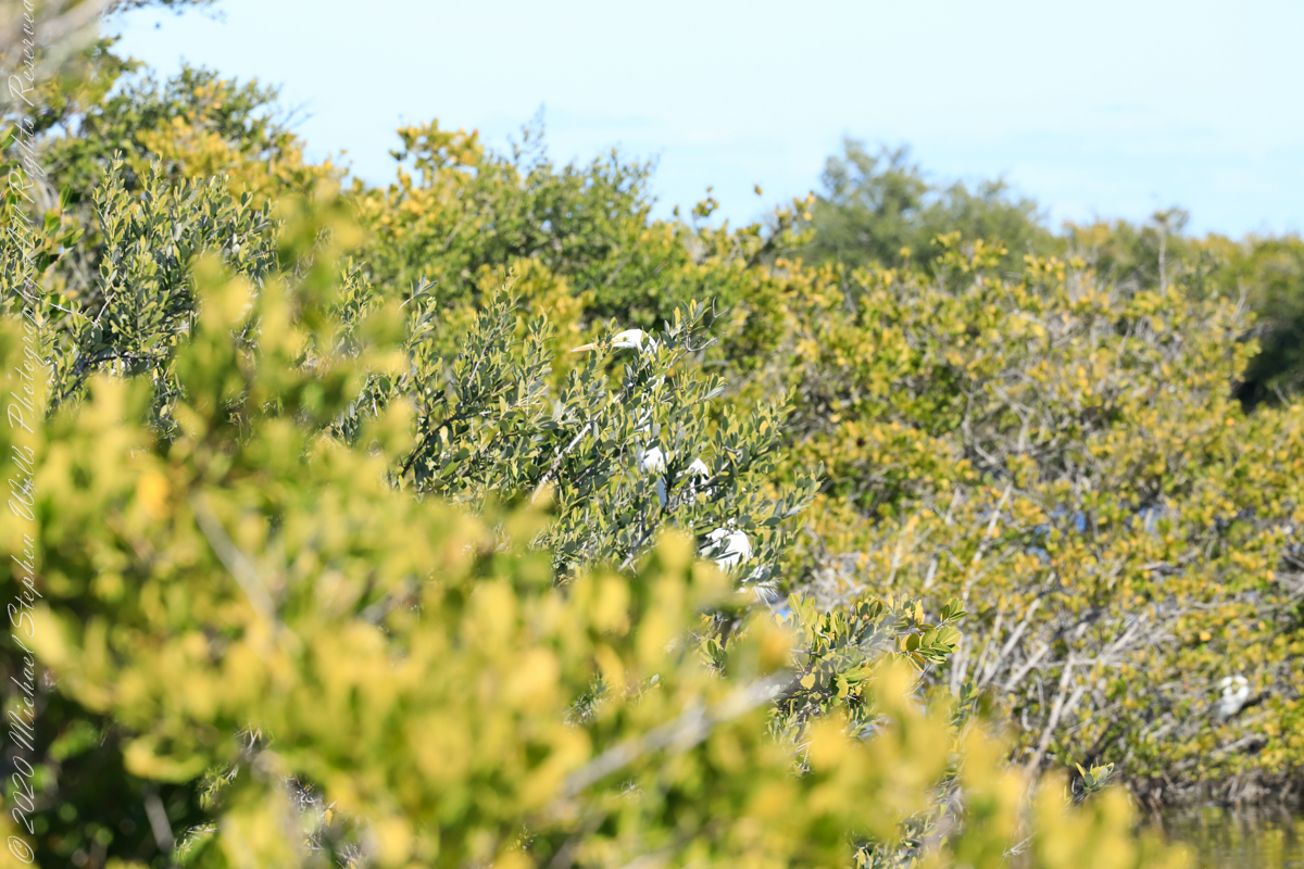
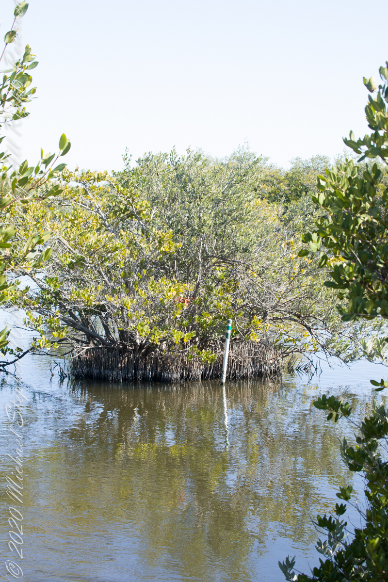
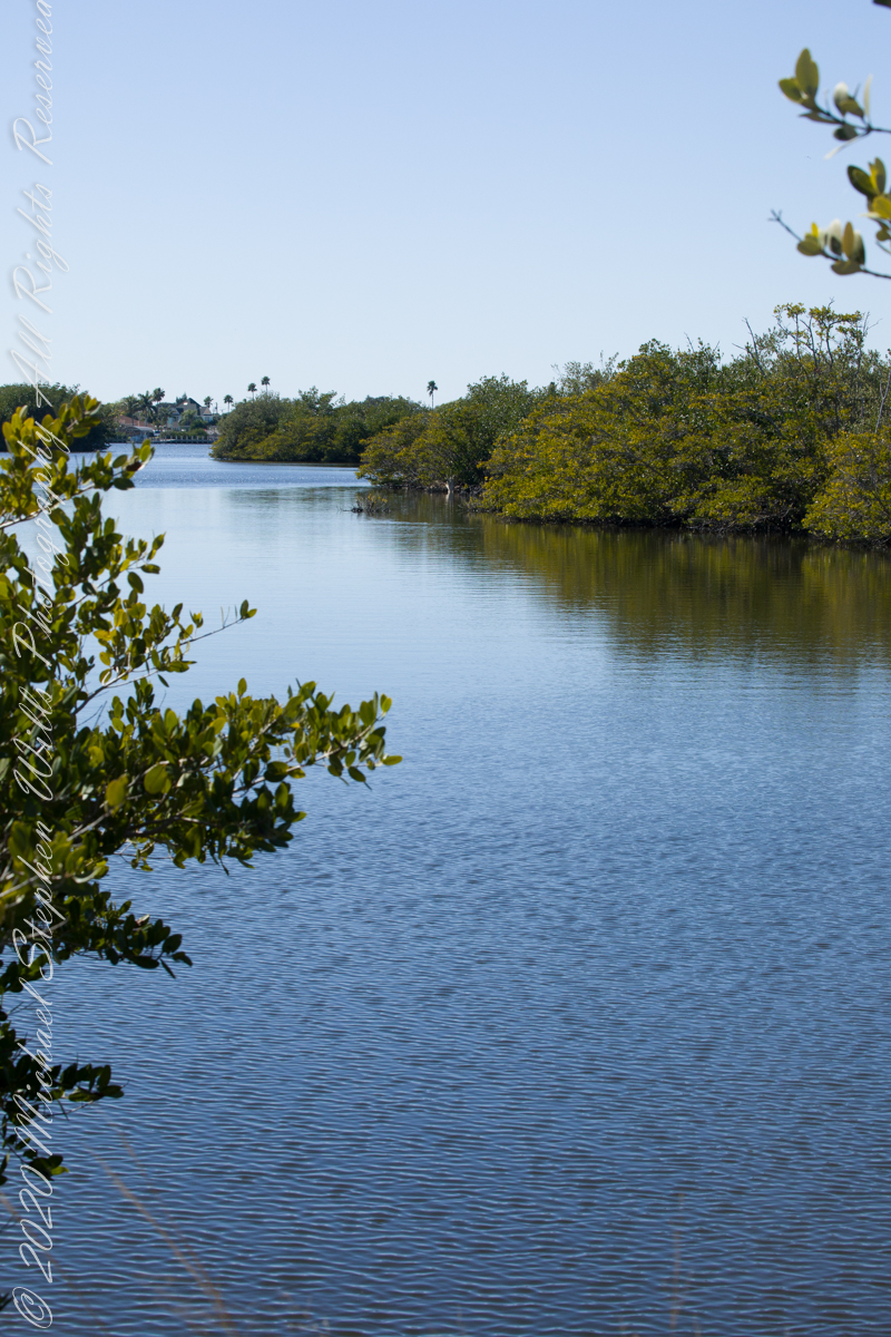
Ulumay is the name of the Native American settlement of the Ais people decimated by disease after the arrival of Europeans. The park is a natural lagoon and bird rookery linked with canals created for mosquito control and surrounded by a manmade dike. A trail on the dike provides access to the waterways for the fisherman, birdwatchers, and paddlers.
This informative placard, placed at the entrance. Note the 600 park acres is surrounded by residential properties.
I left Pam at the entrance, seen below at the words “Ulumay Wildlife”; she had a reasonable concern about alligators. It is quite possible to find a large specimen blocking the one and only trail. “What? Me Worry?” When pursued by an alligator, remember to zig-zag.
“Flora and Fauna”
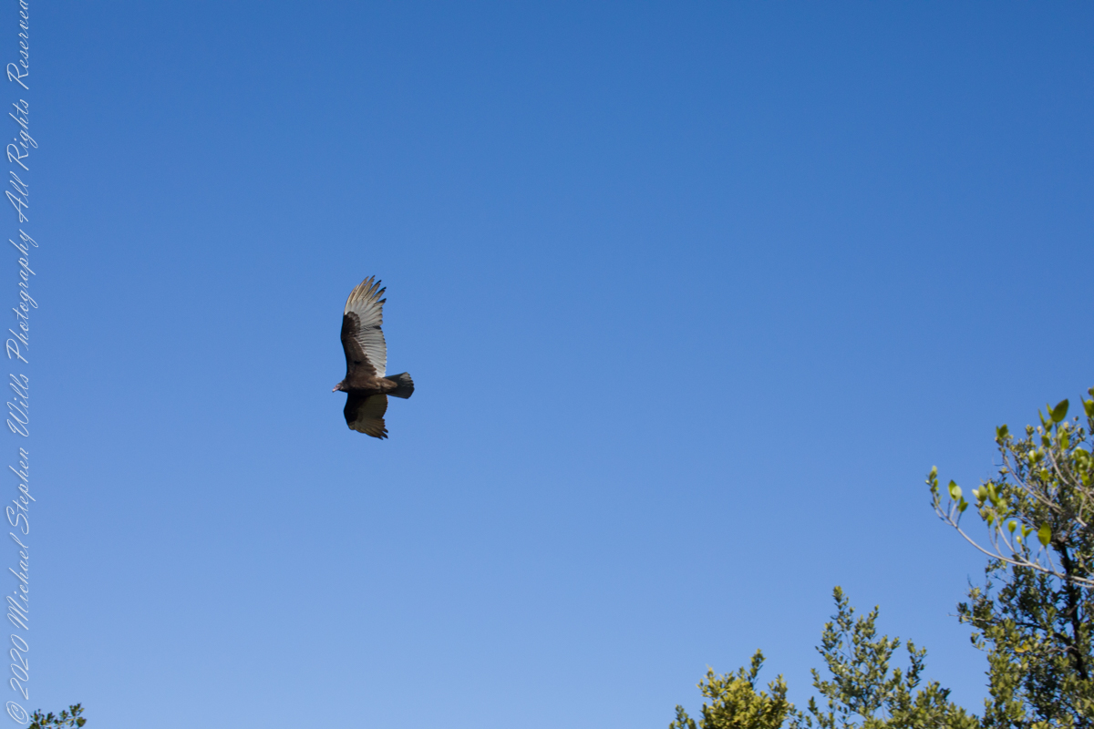
Waterways, sightings
Second Stand
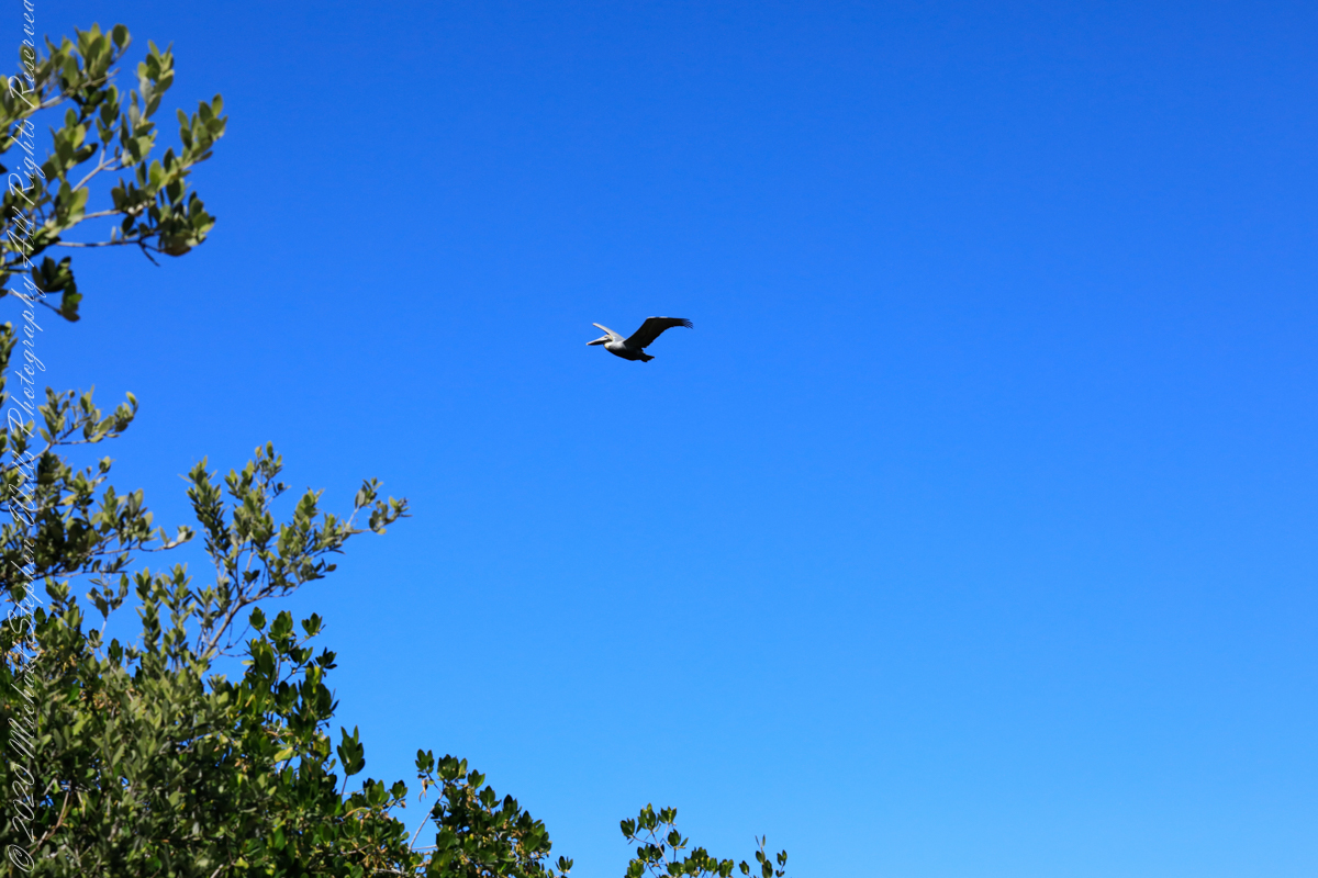
Third Stand
No sightings of alligators or manatees.

a exploration of logarithmic spirals and symmetry
An early thought of mine, as a child, was to wonder, “How large does a person grow?” If growth was perpetual, there was no end to how large I will become; yet, tested against observed reality, “Why was it the case this was unlikely?” Years later, when recalling this, I understood my intuition touched upon the logarithmic spiral and mollusk shell.
Sea Oat stalk, photographed above, after it dries slowly in the sun and wind, curls into a logarithmic spiral. One two dimensional spiral may be compared to another by measuring the rate and direction of opening, the increase in distance between the part closer to the source and the outer swirl. The growth of all shells follow a logarithmic spiral in three dimensions where the progression from a staring plane, as well as the direction, up or down from the plane, is an element.
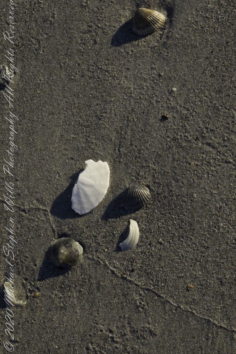
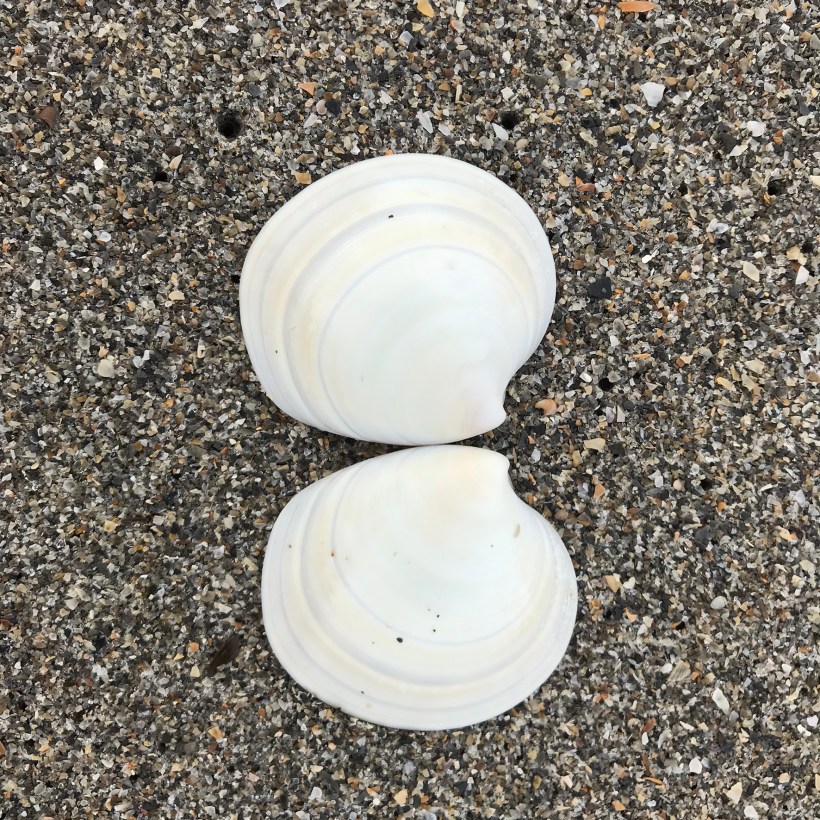
Sea shells give evidence to my question of “how large can one grow.” The size of each of the millions encountered on a beach is an example of a life ended. Each of record of the length and character of the organism. For example, a close inspection of the bottom shell of the above photograph, a tellin of the family Tellinidae, reveals the spiral is growing toward the surface of the sand. Imagine wrapping your hand around the outer edge of the tellin with your thumb pointed down.
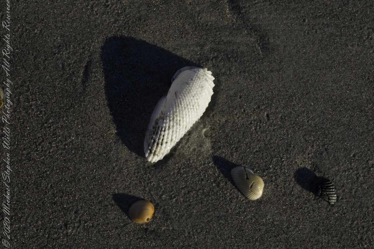
Each of the four shells of the above photograph had a mate, were one of a pair. Types of shells share characteristic pair symmetries. For example, a pair of tellins display a type of asymmetry called chirality, also called “handed-ness” after the same property of your right and left hands. One shell half (from the same individual) is the mirror image of the other, each unbalanced as the growth spirals toward opposite directions.
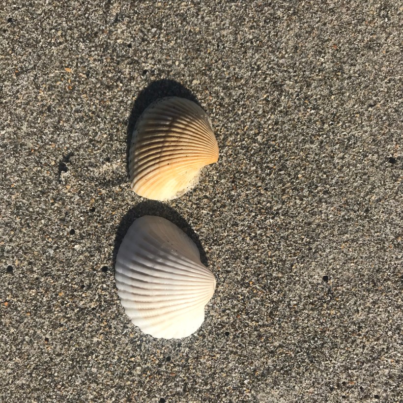
When I started beachcombing, examining collected shells I did not have a pair from the same individual and incorrectly concluded direction of growth was unique to an individual. The ribbing of the above two shells illustrate three concepts: the logarithmic spiral growth pattern, chirality, as well as how I came to that wrong conclusion: that two individuals can grow in different directions. It was a logical hop to understand how, to make two shells hinged at the source of the growth spiral, each individual requires two halves, each a mirror image of the other. That every member of the species demonstrated the same asymmetry, each half grows in the opposite direction.
The above photograph shows attached matching halves. The attachment point was a surprise: the apparent source point is not attached to the ligament joining the halves? I have yet to understand this. Do you?
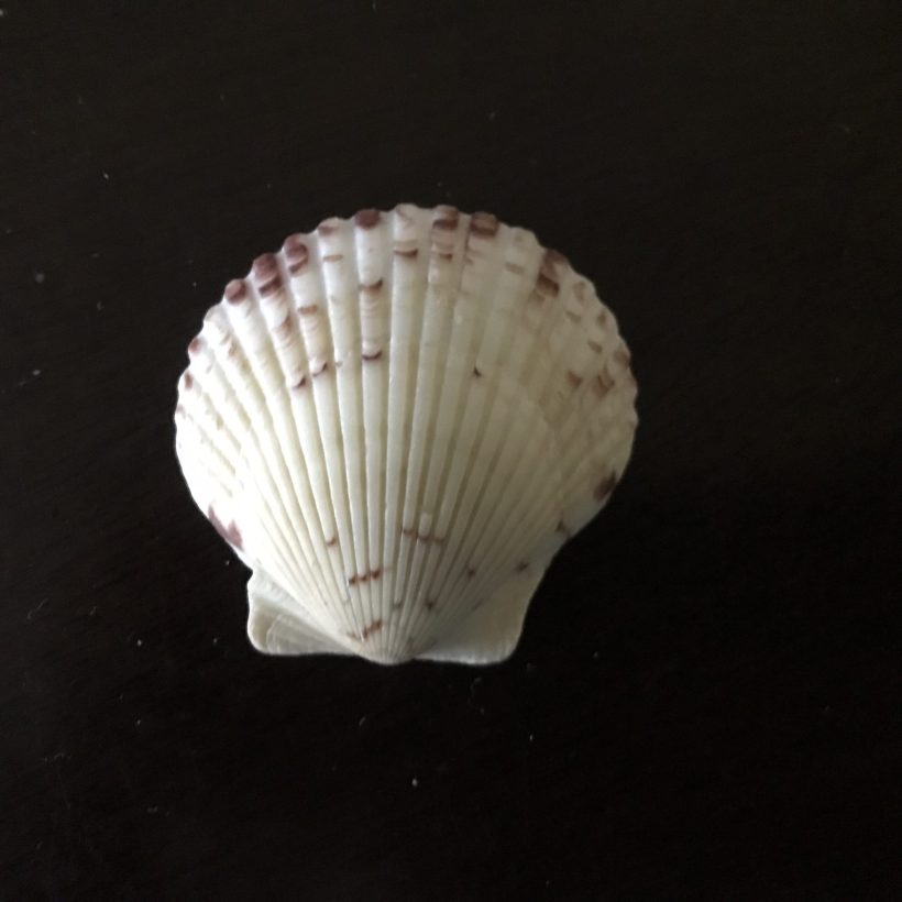
The association of beauty with scallop shells bridges thousands of years. For example, a fresco of the Roman goddess Venus, born from the ocean riding a shell, was unearthed from Pompeii. The living organism is not part of the story, just the shell. Why the scallop? My answer is, “Each half is completely, in itself, symmetrical.”
The top three shells of the first photograph are scallops. The first and last, broken by the waves, are missing parts. The middle scallop, small and off-white, is complete. Place an imaginary line down the center and each side is identical. Applying the real world (i.e., physics) to myth, a scallop shell allows the goddess to move forward in a straight line. Sailing an asymmetrical shell, she moves in an eternal circle.
An object with symmetry is visually complete unto itself, self-contained; functionality aside, one scallop does not required a partner. The paired shells are interesting in they do not match, one is deeper, it encloses more volume. The deeper side rests under the surface, allowing the top halve to present a lower profile the better to hide from predators.
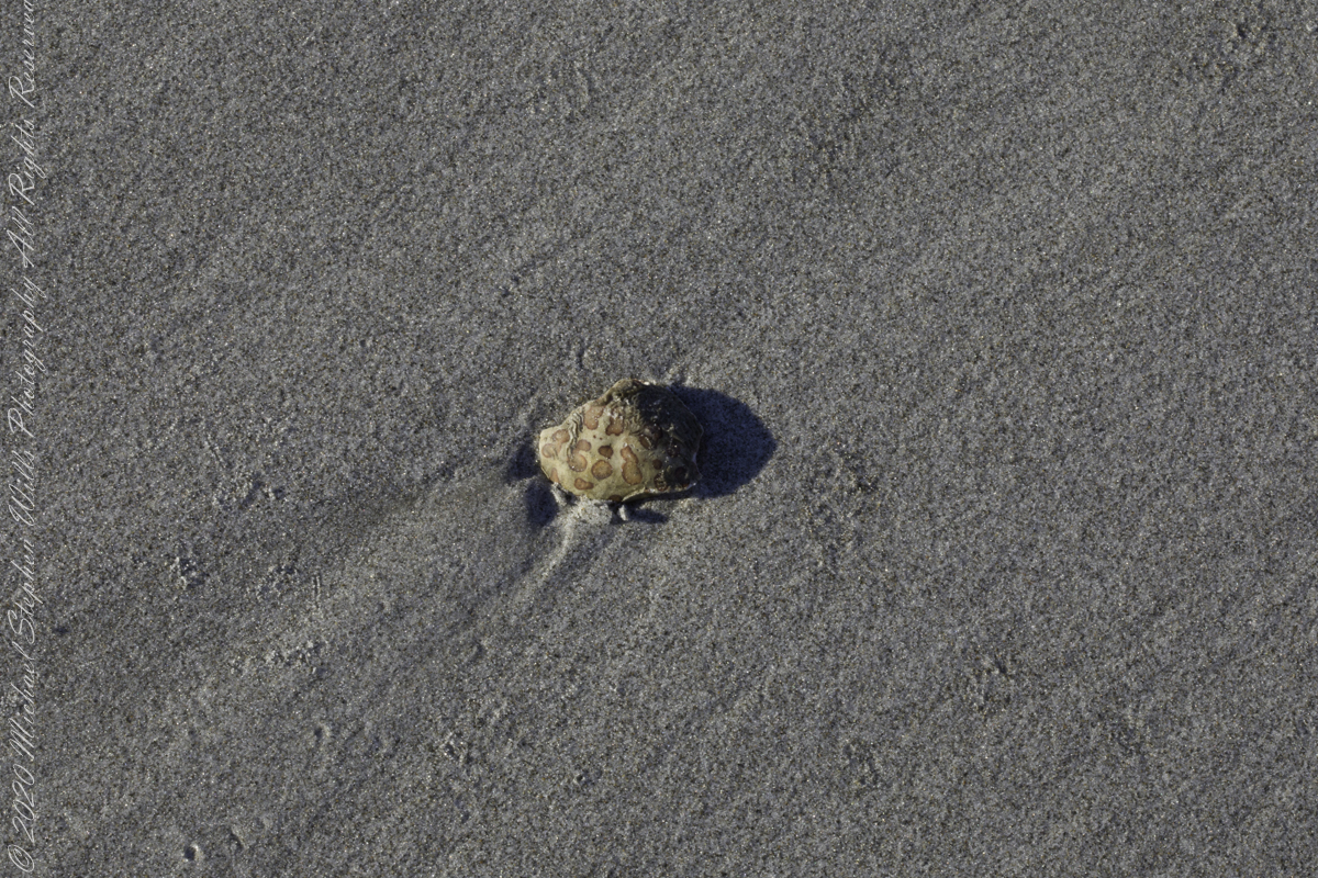
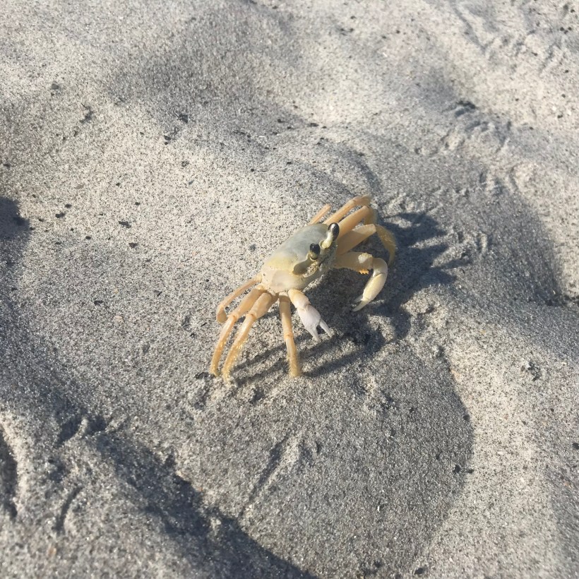
The scallop echoes the beauty of Venus. Symmetry enhances human features (earch “Venus (mythology)” for images of her face through the ages), though it does not define beauty. An overly symmetrical face seems strange. I will close with an extreme example, the other day I came upon this beach crab wandering around in the daylight. Symmetry does NOT enhance the alien eyestalks, menacing claws, a pallid, tough exterior. Safe travels, little one.
A desert garden with plans

First Water trail head is the most used access point to the Superstition Wilderness, being the closest to Phoenix and its satellite cities and suburbs. For day hikers there are ample and interesting route choices as all foot trails of the west side terminate at First Water making for a variety of loops and incredible views. For horse people there are facilities to park huge trailers.
The ready access from Mesa, where my sister and husband had their home, was the primary reason I planned to finish my cross wilderness hike on the Dutchman Trail. Named for Jacob Waltz of the fabulous legend of the Lost Dutchman mine, the inspiration for The Searcher’s Superstition Wilderness expeditions and, ultimately, why he and I met and my change of plans.
On our ride over from Roosevelt he told of his difficulties building a home in Apache Junction, sleepless nights spent guarding building supplies from thieves. He looked forward to moving day.
This photographic record of five days in the wilderness would be much different without that meeting yet, there I was that afternoon with plenty of time for photography during the golden hours of late afternoon as I wandered the desert gardens until my sister arrived.

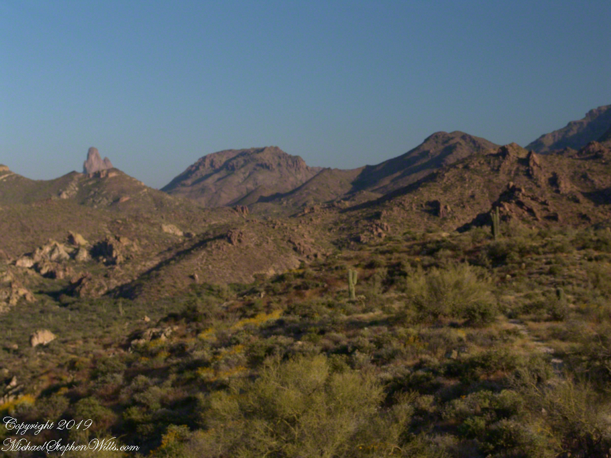
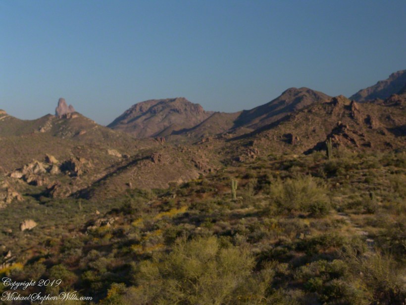
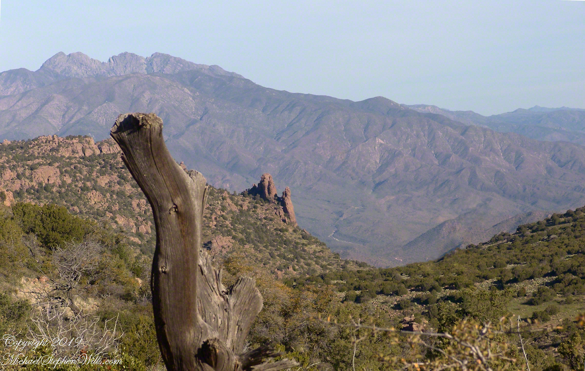
The long distant ridge beyond the rugged near hills is the backbone of the famed “Superstition Mountain.” On the far right are hoodoos, appearing as so many teeth on a jaw. Gorgeous saguaros in the foreground.
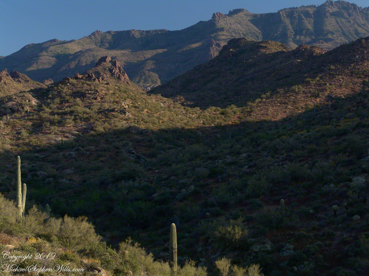
Weavers Needle is the distant peak, 5.5 dry miles away in this view to the west / southwest.
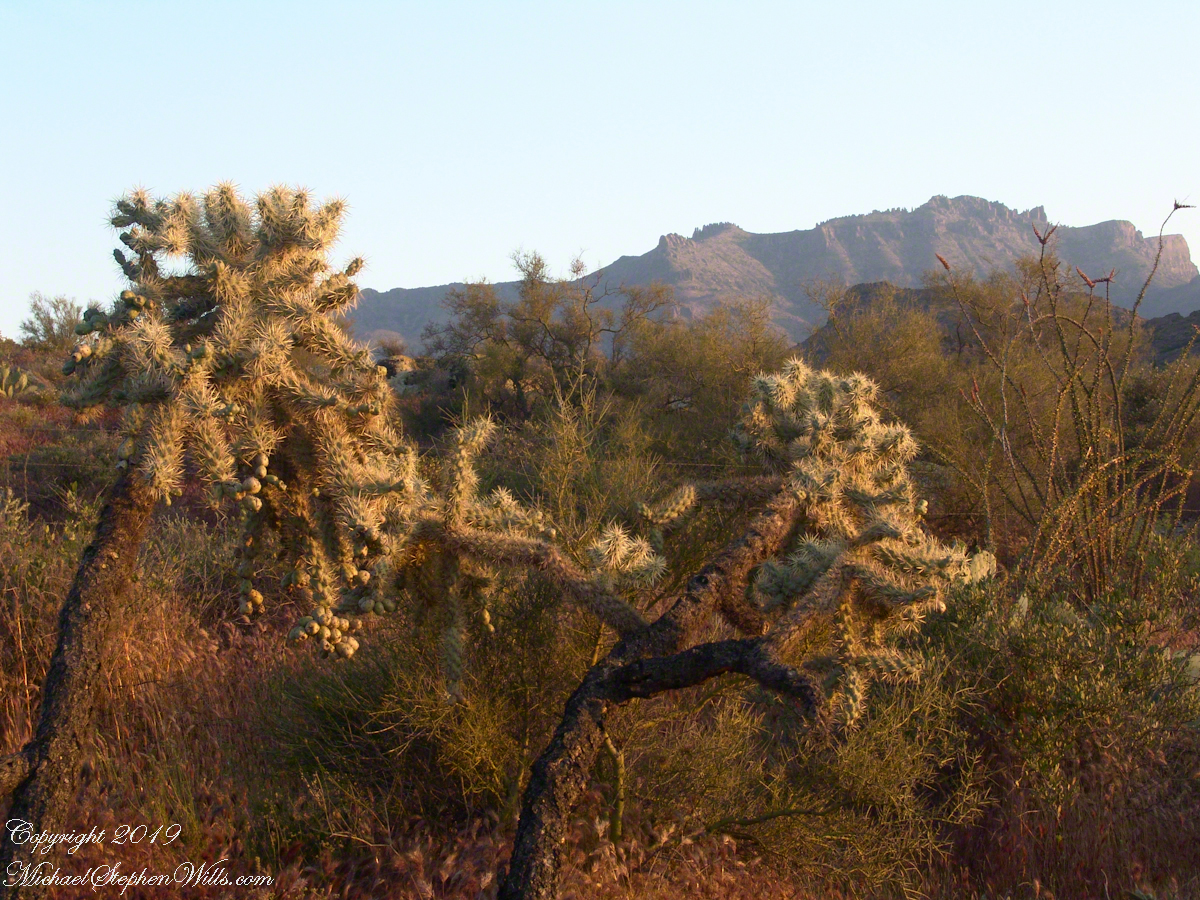
I’ve always been partial to how the dense spines of cactus catch the evening light. These staghorn chollas are in front of the same ridge of the Superstition Mountain. A famous formation, “The Flatiron” is visible on the far right.
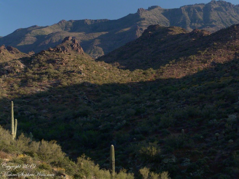
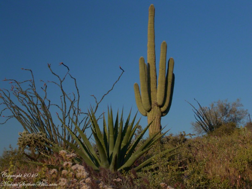
The road to the trail head, Service Road 78, winds through 2.6 miles of hills. Here is another overview of Sonoran desert life.

You might remember hedgehog cactus blossoms from my posting “A Dry Piece of Paradise”. The following are from the large hedgehog cactus in the foreground of the preceding photograph.
During the drive back with my sister, Diane, we talked of plans for returning to the Reavis Ranch together, as a backpack expedition. In coming days I met with The Searcher to explore possibilities for a horse expedition and, three years later, these plans came together for a trip kicked off from this same First Water trail head.

Here is a gallery of the same photos. It is fun to flip back and forth with me disappearing from the scene.

Exploring Arizona in my Fifth Decade of Life
The Searcher arrived after breakfast. My camp was bundled up to join the rest of The Searchers equipment and supplies on Colorado’s panniers that replaced the saddle where I sat, and was dumped from, yesterday. This fifth morning of the adventure, I was to have the experience of a light pack for the 4.7 mile trail from Pine Creek to Campaign Creek, past the Reavis Mountain School of Self Reliance.
First, there was the climb to the edge of Pine Creek canyon where we, for the last time, enjoyed the view to the north of the Arizona Trail and, in the distance, the Four Peaks Wilderness.
At Reavis Gap we took a rest before the 1500 descent to Campaign Creek on a trail rated as so difficult backpackers go miles out of the way to access Reavis Ranch.
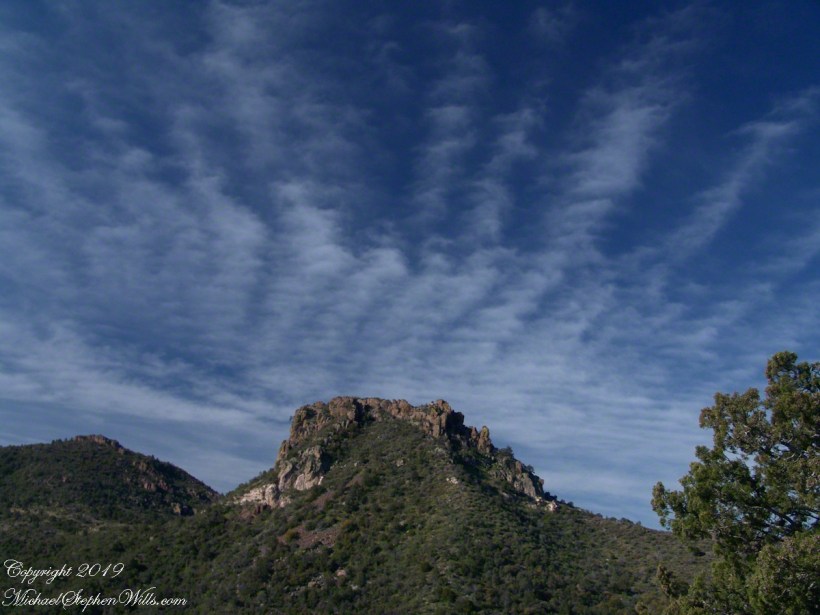
I split an energy bar and took a swig of water before setting up the tripod to capture the following view of our path. The ridge, hazy in the distance of 22 miles, is Apache Peaks, the near descending ridges an improbable green after a wet winter. In the previous photograph, “North from Reavis Gap” you can clearly see the transition from the desert to a grassland biome as the elevation increases.

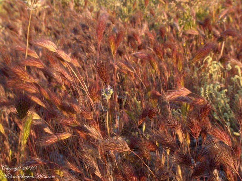
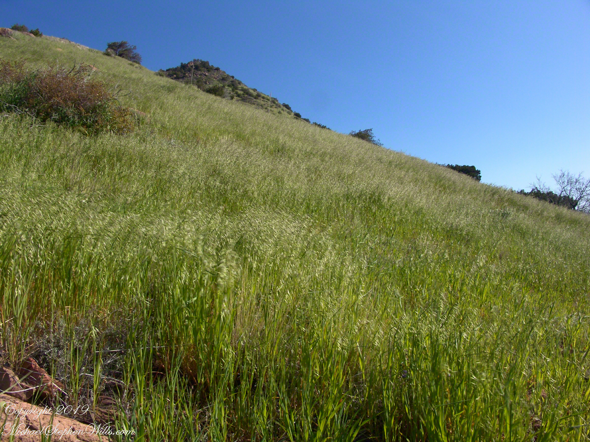
On this, the southern shoulder of Two Bar Mountain, we enjoyed desert grasslands almost the entire length, starting with this unlikely oat field. The higher, eastern Superstitions are the western and northern-most Sky Island of Southern Arizona: rising from the desert as isolated mountain systems, catchments for passing storms, with life zones progressing with altitude, the highest typical of Canada. As with oceanic islands, each is a haven for life with potential for evolution of unique species from the isolating effect of the surrounding desert.
These oats are domesticated grain spilled from a horse or donkey pack to thrive in the decades since, sprouting into this spread of light green after a wet winter, ripening, then turning gold with the summer, the grains falling to wait for the next opportunity. This green hue is my first impression of Reavis Gap, see my post “Two Meetings” for a video of the morning breezes rippling along the hillside.
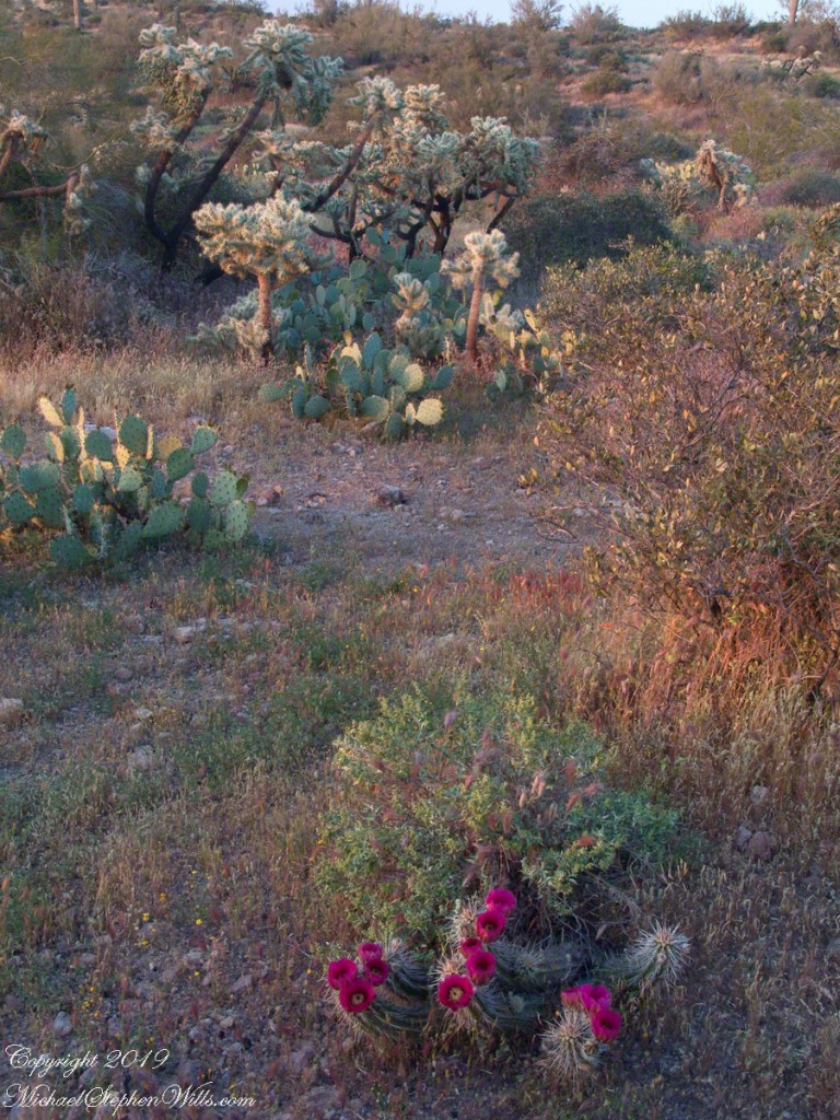
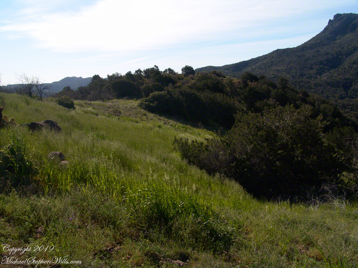
The camera sweeps 180 degrees for all the views from this spot, including prickly pear cactus among the grasses, a butte-like formation to the west, as in the following photograph.
We passed the length of the Reavis Mountain School of Self Reliance, the Reavis Gap trail is 100 feet or so higher on the north side. The name “Upper Horrell” is attached to this location. Reavis Gap trail used to start at a ranch house, part of the “Upper Horrell Ranch.” Horrell is the family name of the former owners.
Upper Horrell is a fortunate location for the school, with the perennial Campaign Creek flowing parallel to their 13 acres on which is a large garden, many fruit trees, livestock and poultry. The school provides lodging and classes throughout the year.
The Searcher initiated his time in the Superstitions with wilderness survival classes and they allowed him to park is horse trailer and pickup outside the gates. We were loaded and out of there with a stop at Roosevelt, population 28, where we were the only customers for mesquite grilled hamburgers and french fries. We talked about the potential for future trips and I took him up on an offer to store my stuff until then. In the following years I did more Superstition Wilderness day trips, backpack expeditions, some with my sister Diane, and one horse expedition with The Searcher and a friend.


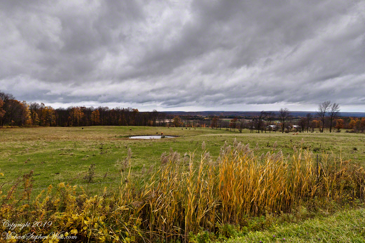
Sere grasses
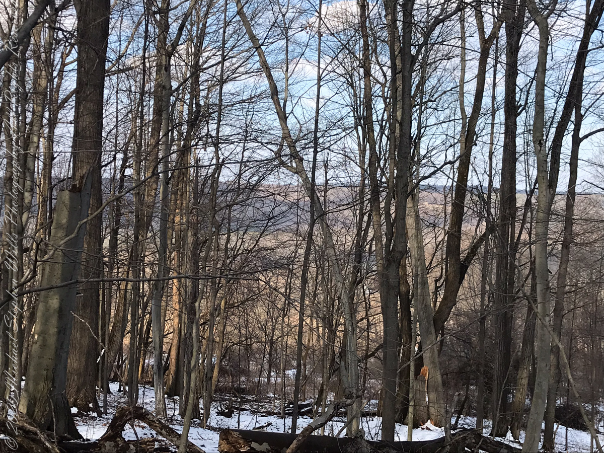
The Finger Lakes are formed by a series of inclined planes spread across central New York State.
Here we look northwest across the land between Cayuga and Seneca lakes, all forests and farm land. Seneca Lake is not visible,15 miles distant, and the Finger Lakes National Forest in between.
The only town is Hector, New York, population 4,854 in the 2,000 census. The foreground are sere grasses, a field of beef cattle and pond.