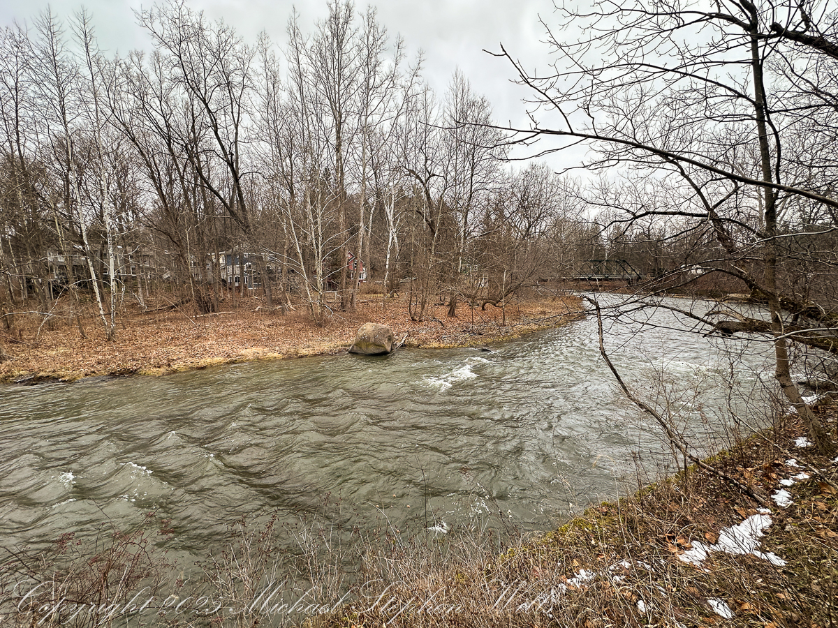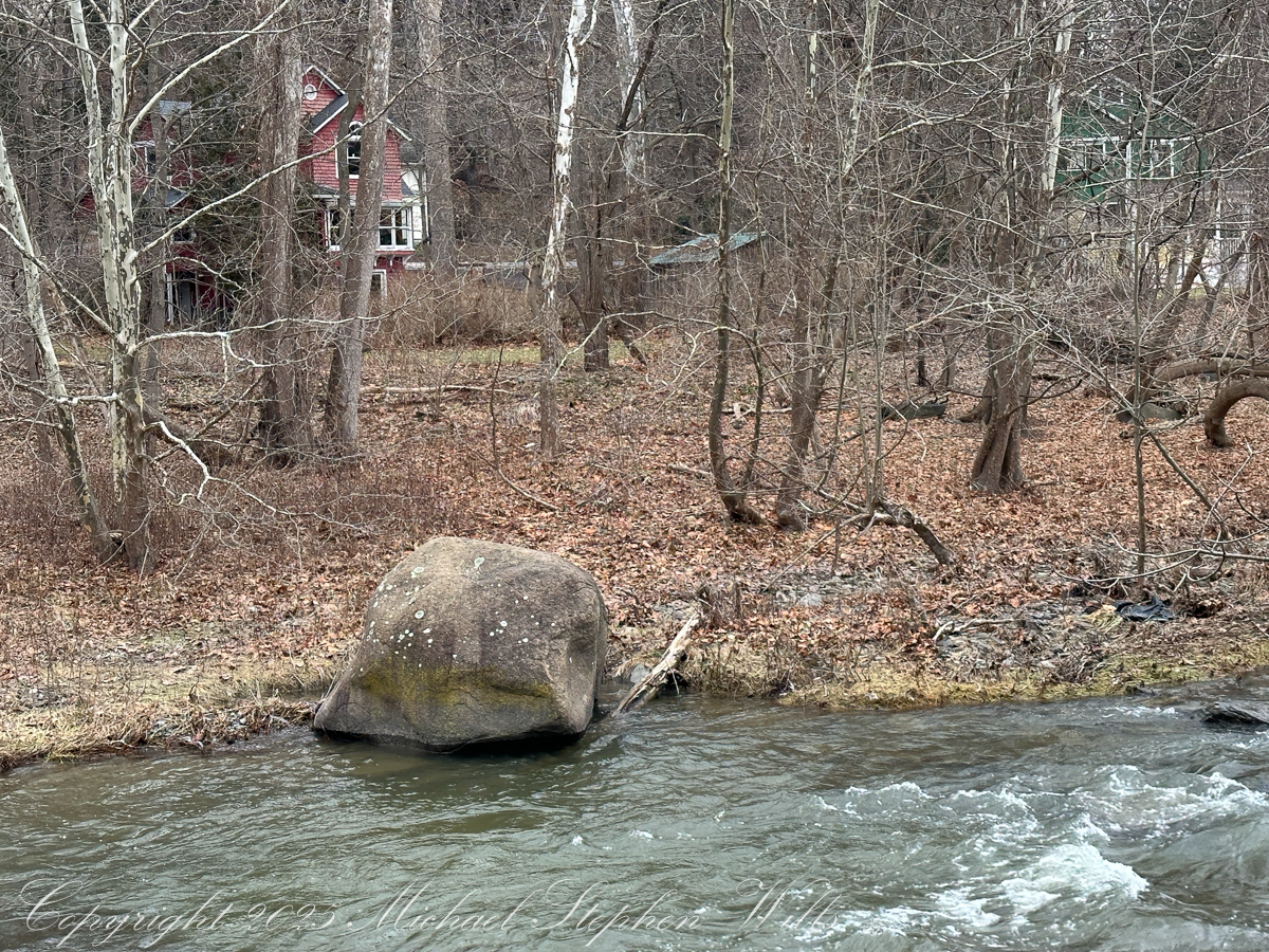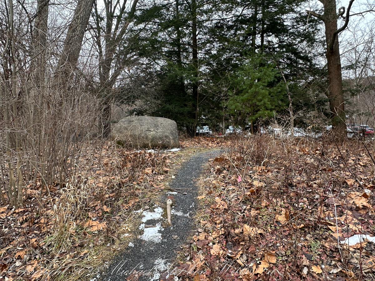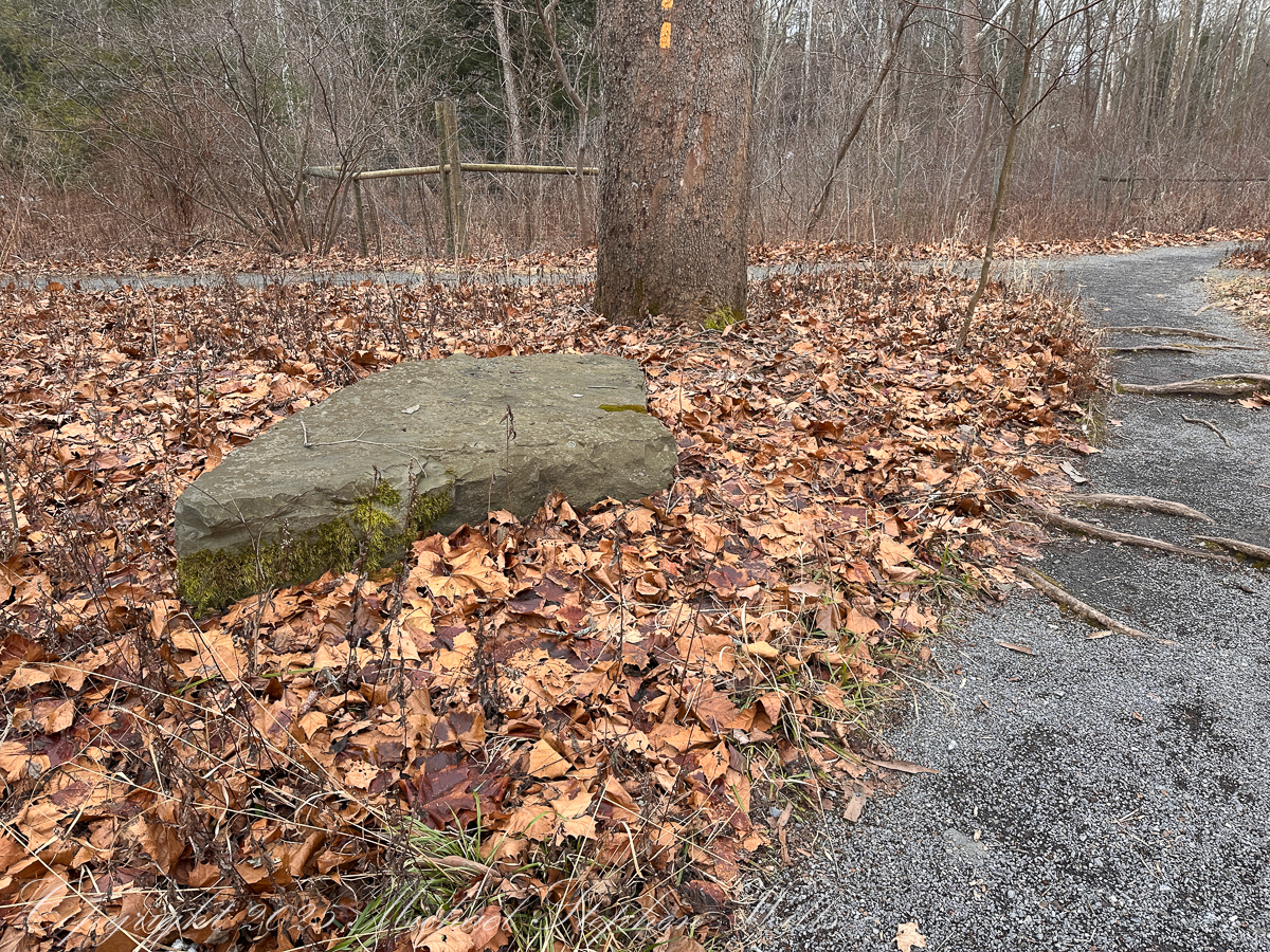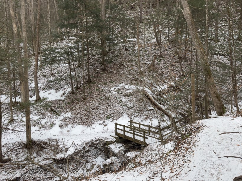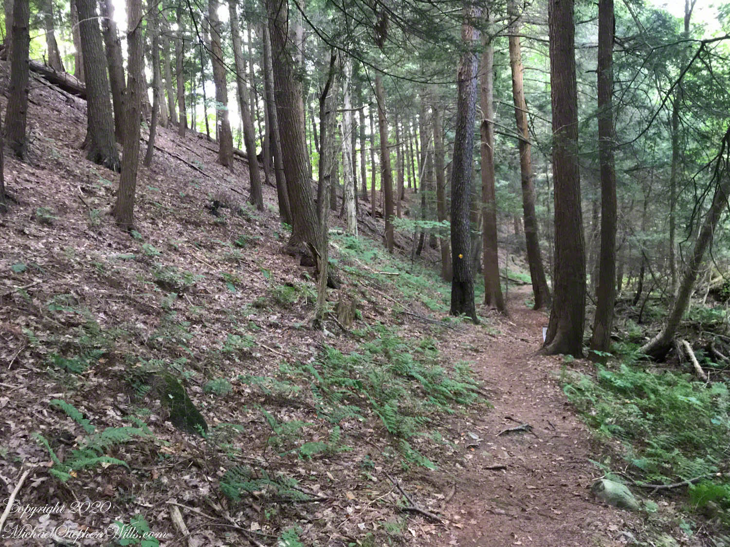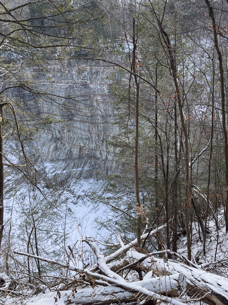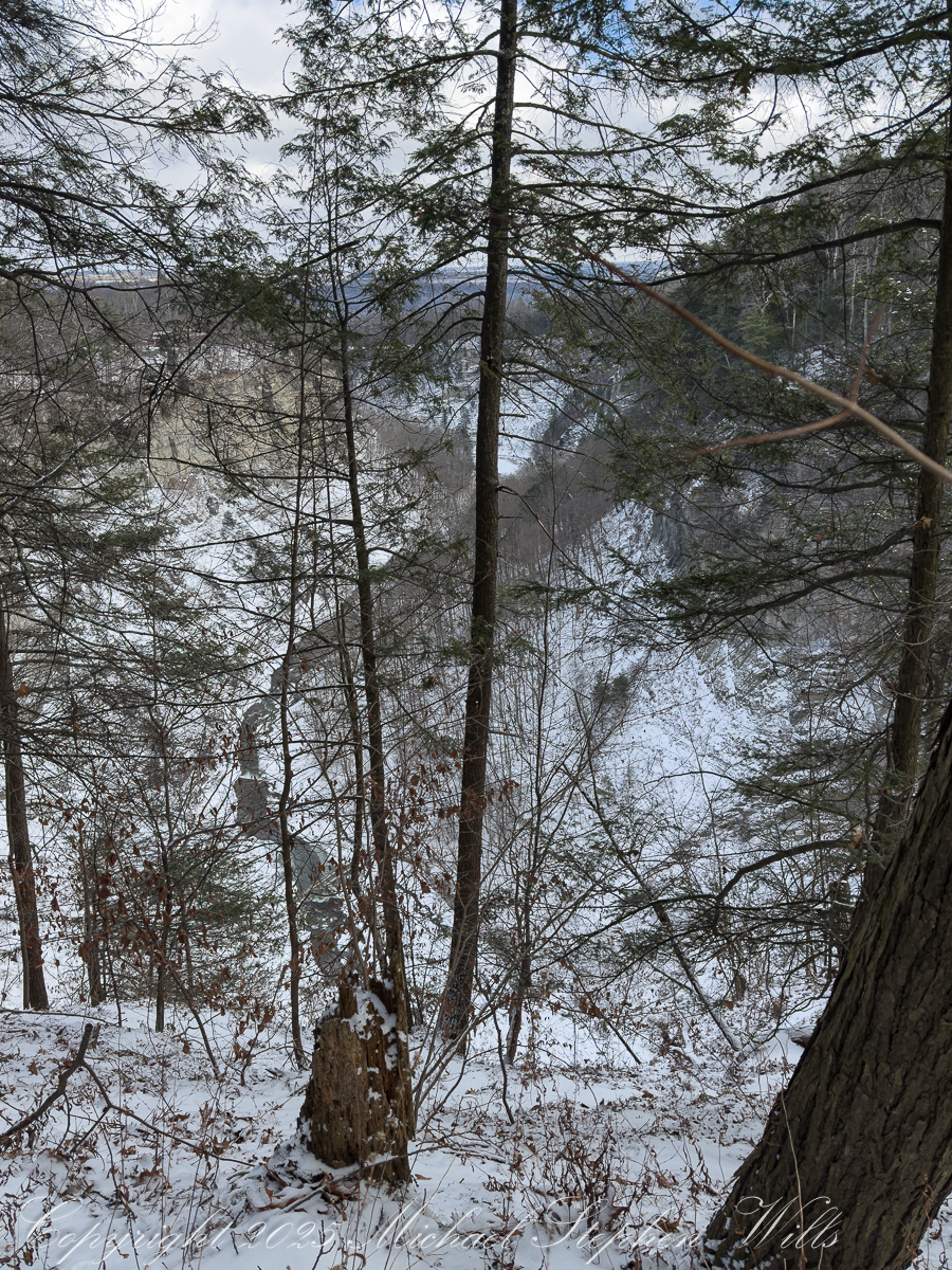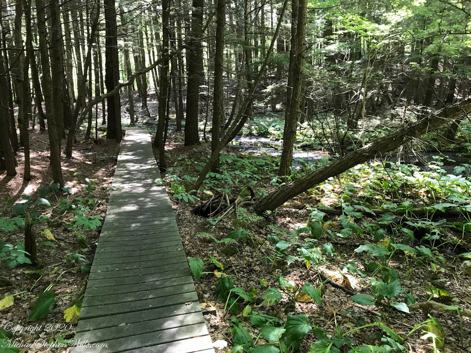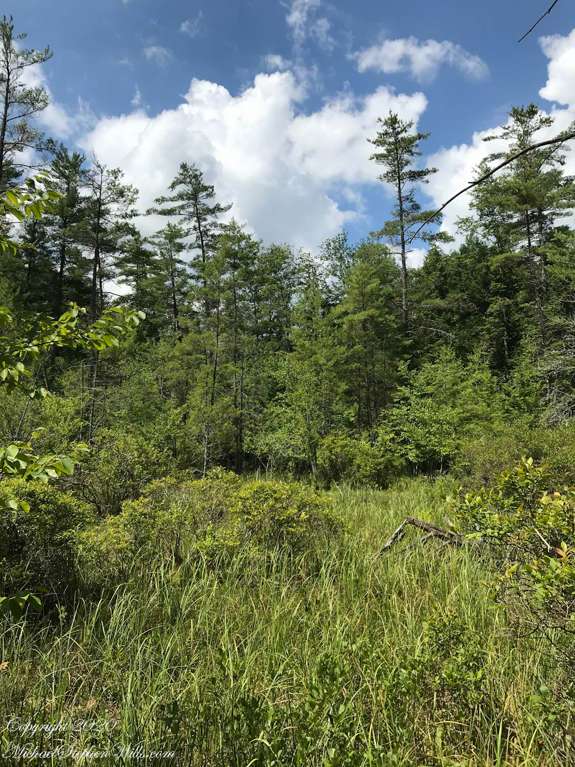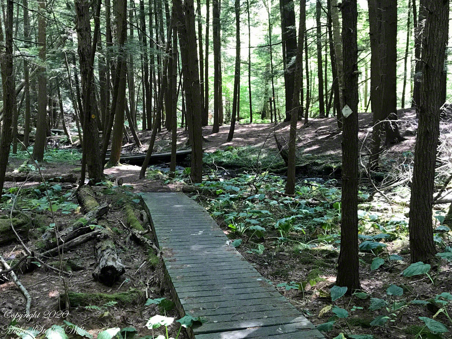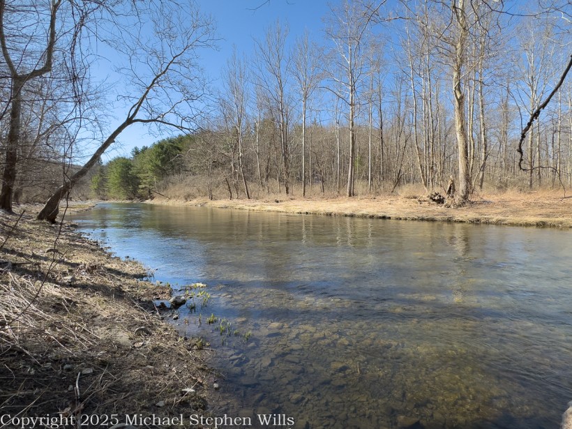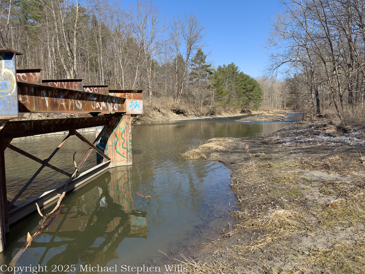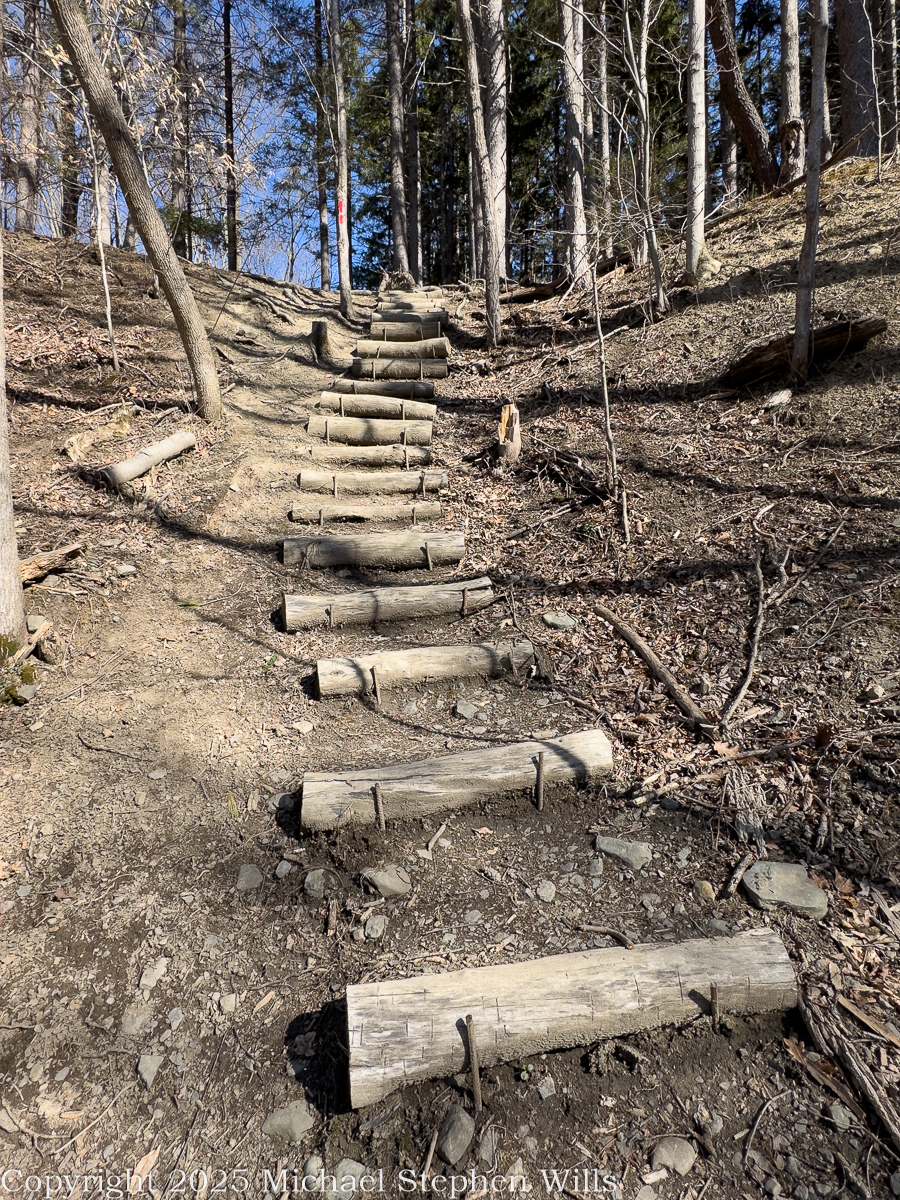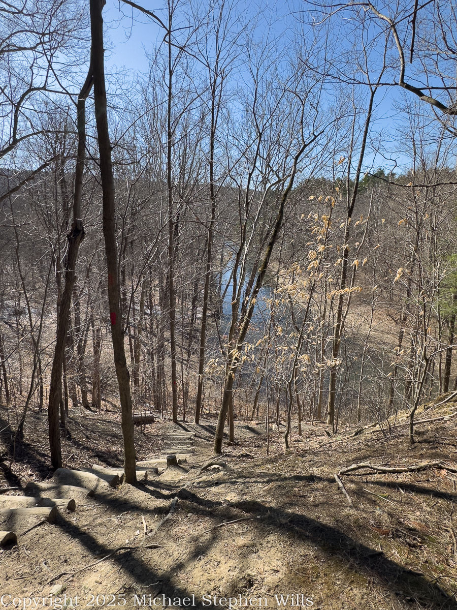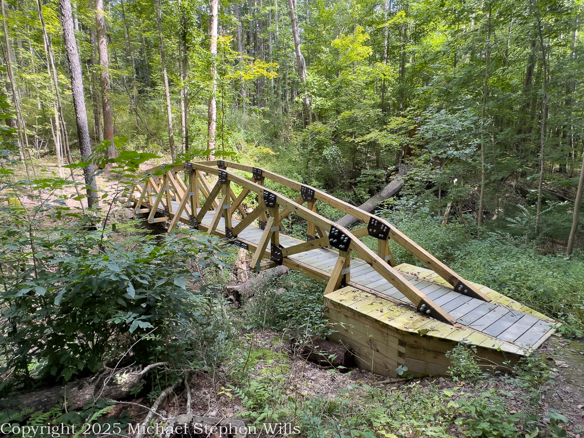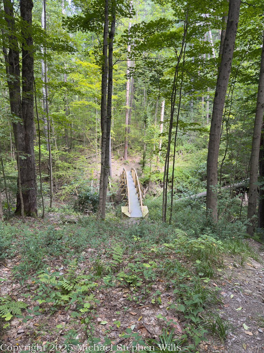
The morning began in that quiet register peculiar to late winter in the Finger Lakes—when the calendar insists on spring, yet the land, still half-claimed by frost, speaks in a more cautious dialect. At the O.D. von Engeln Preserve at Malloryville, the woods held both seasons in tension. Snow lingered in shaded hollows, while the exposed ground, damp and rust-colored, breathed with thaw.
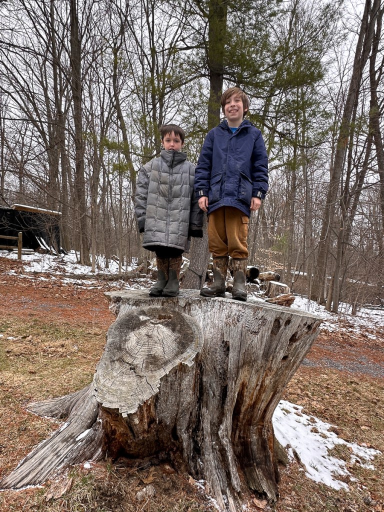
Sam and Rory—boots muddied almost immediately—climbed atop a great, weathered stump, its cut face fanned with the geometry of years. There is something about a stump that invites children upward, as though it were not a remnant but a stage. From their perch they surveyed a kingdom of bare trunks and quiet trails, their laughter momentarily lifting the stillness. Behind them, the forest rose in gray-brown columns, and beneath them, the history of a tree—rings like a clock no one can wind backward.
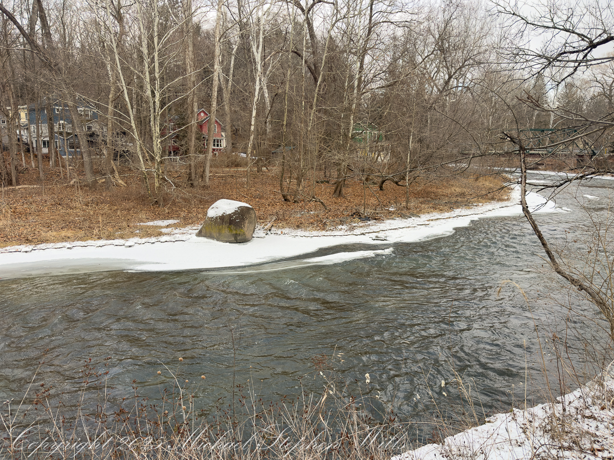
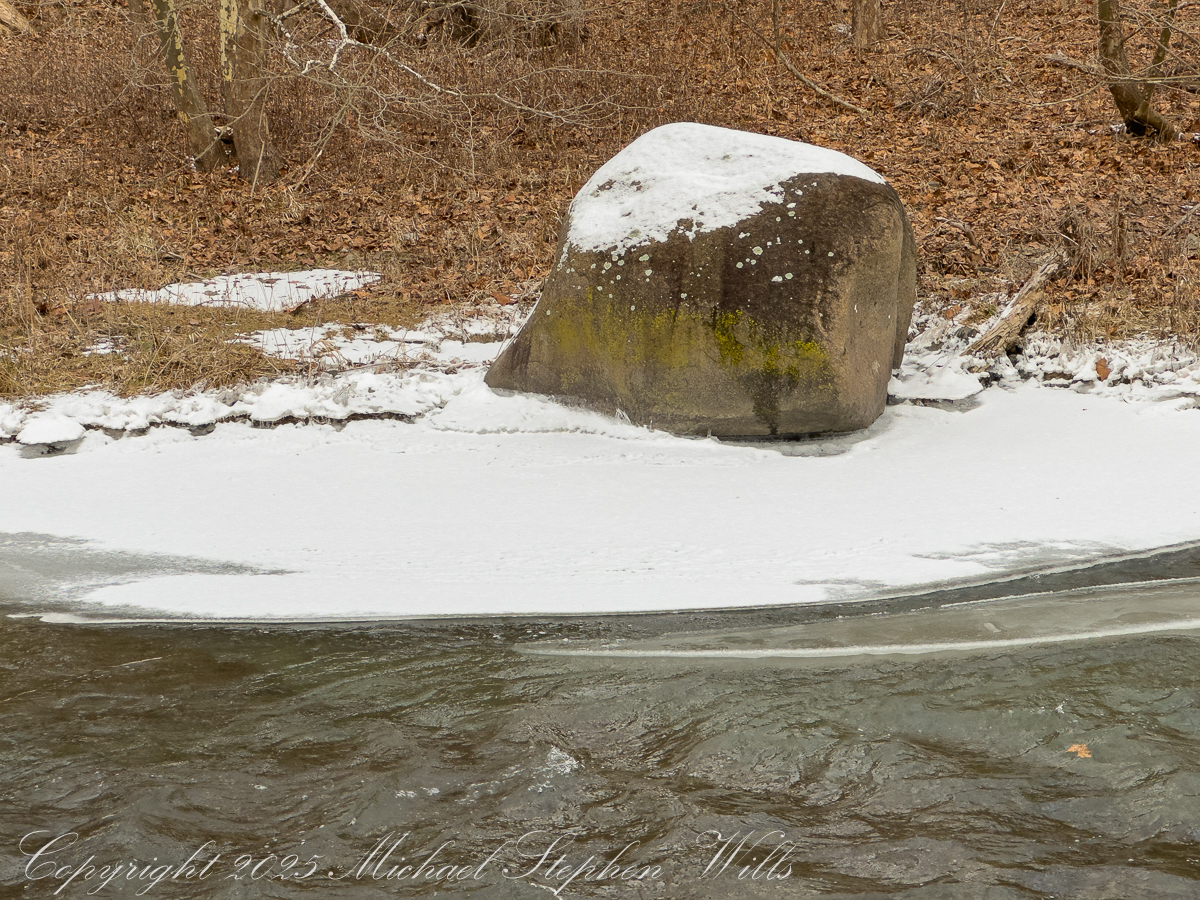
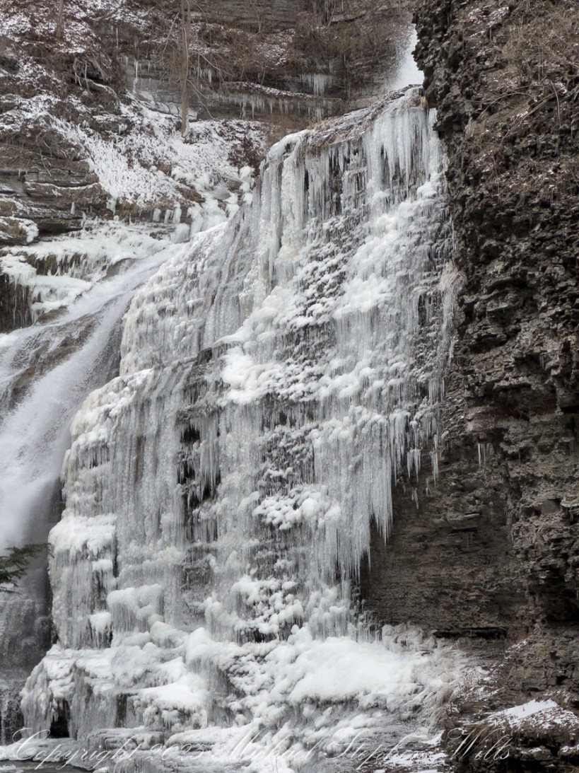
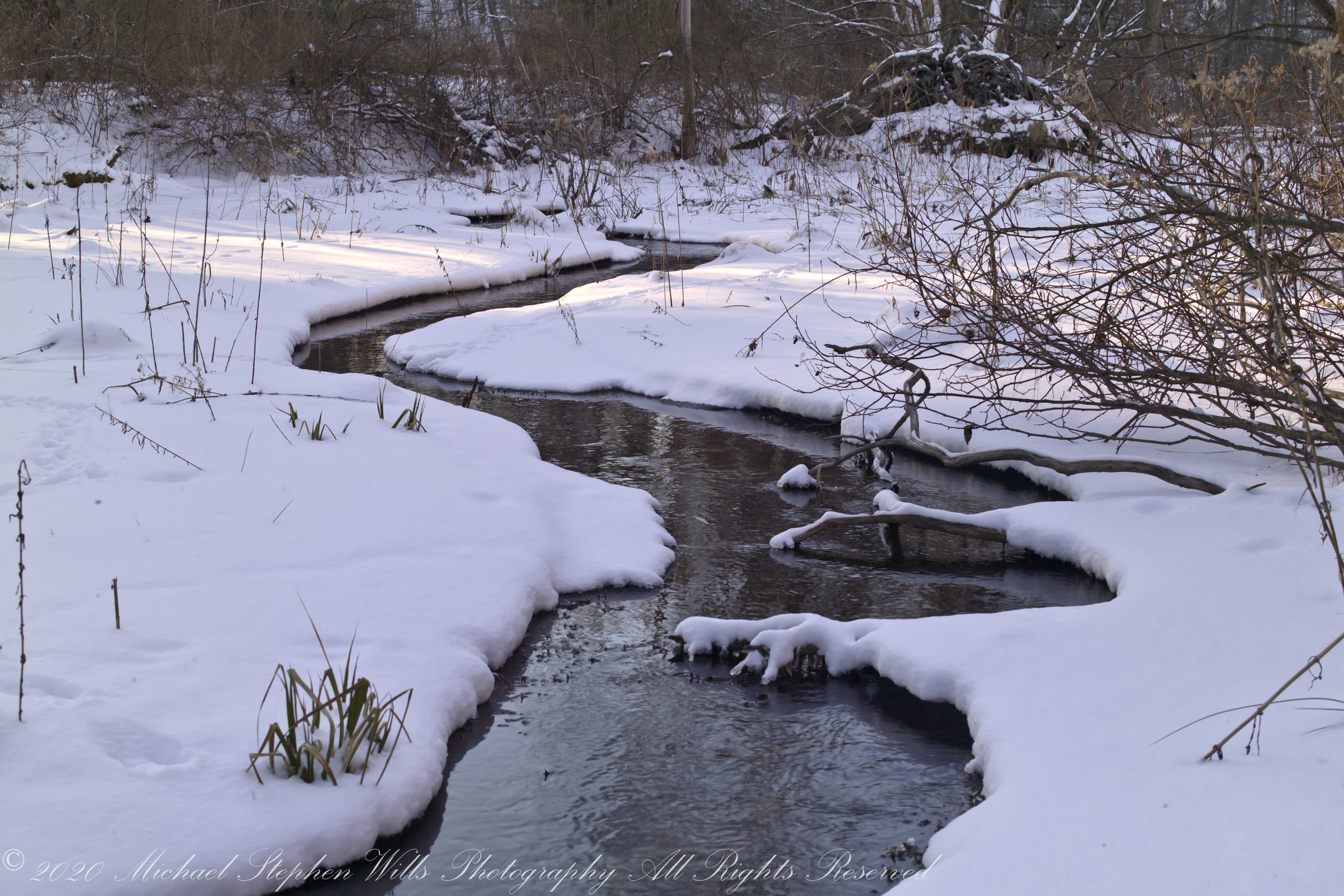
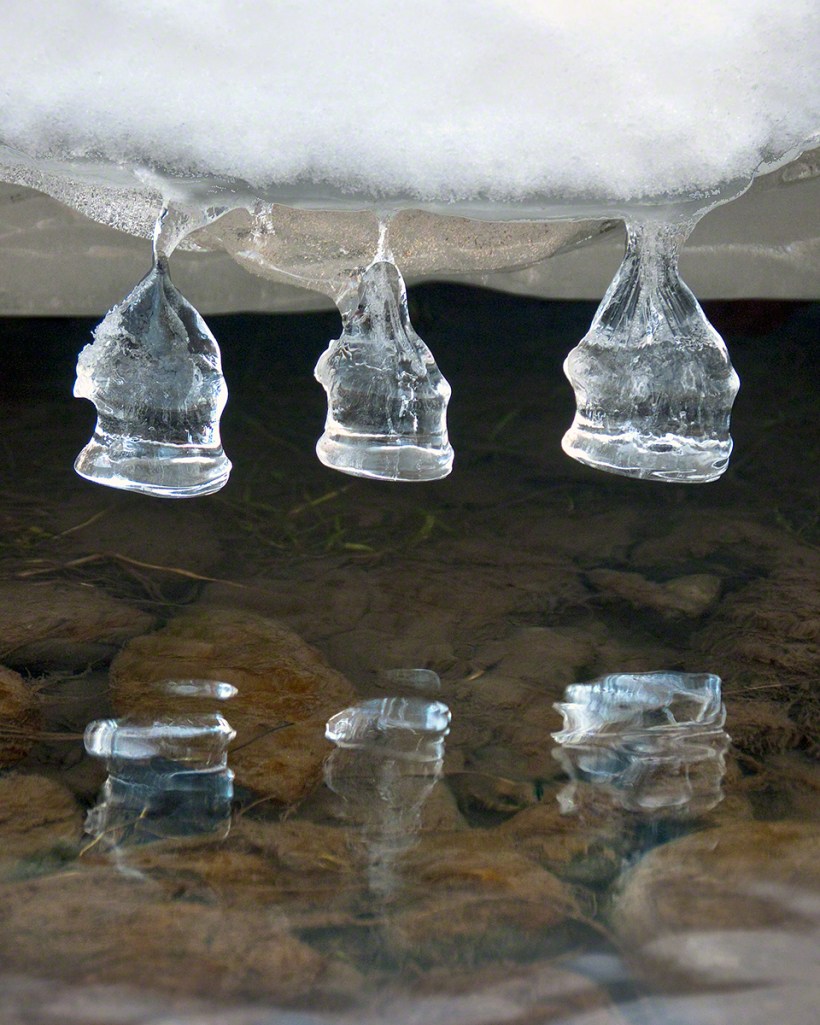
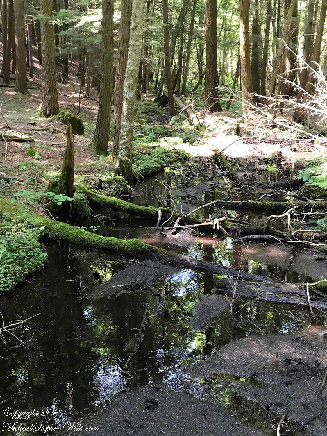
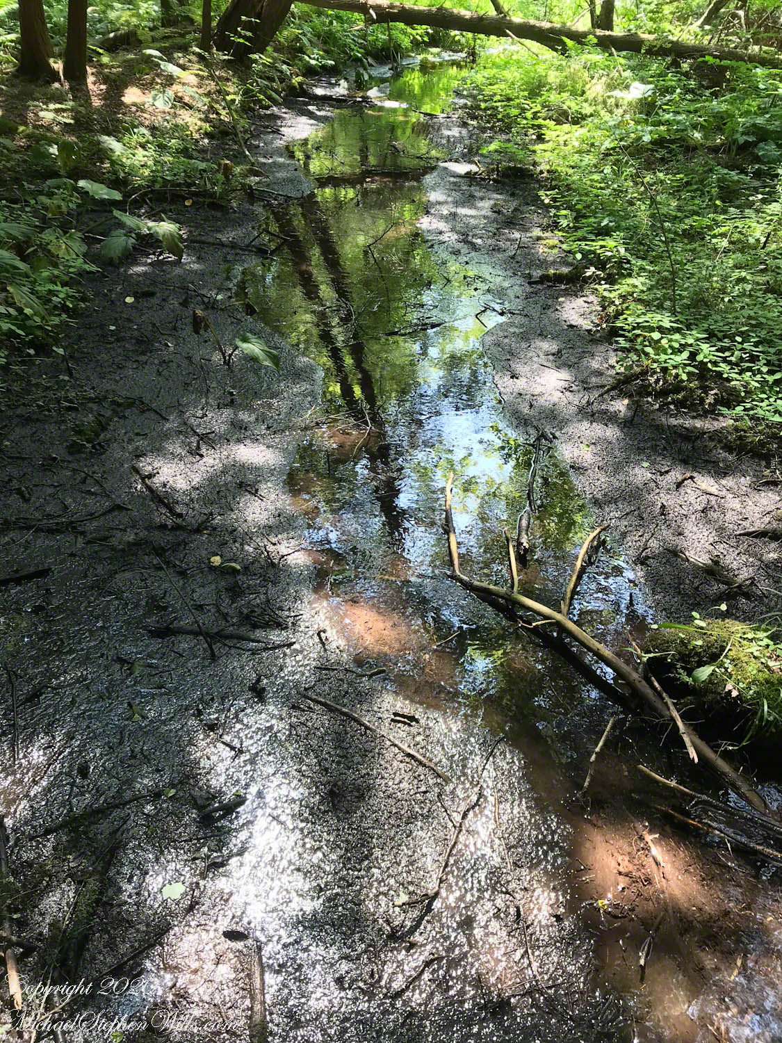
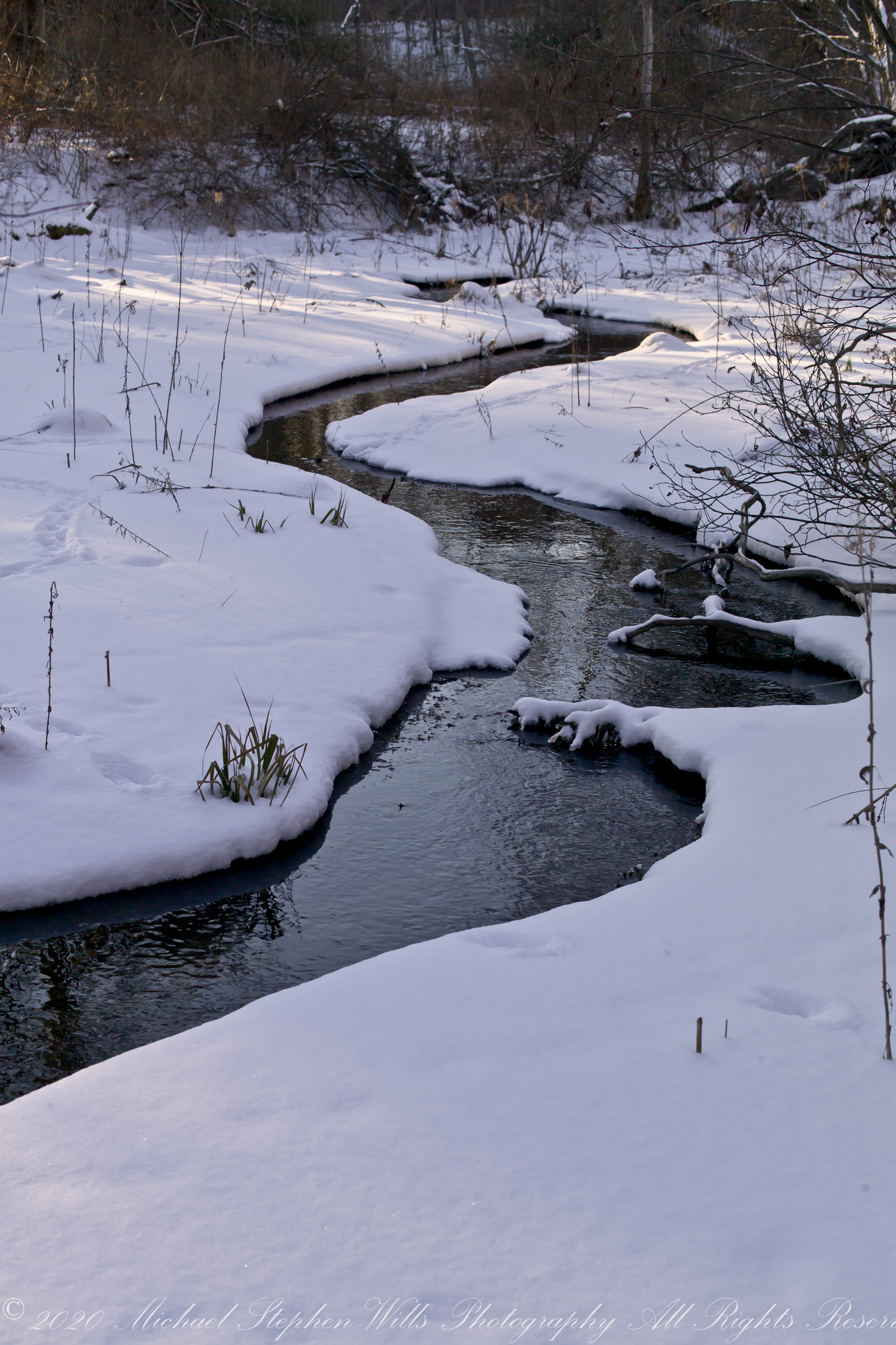
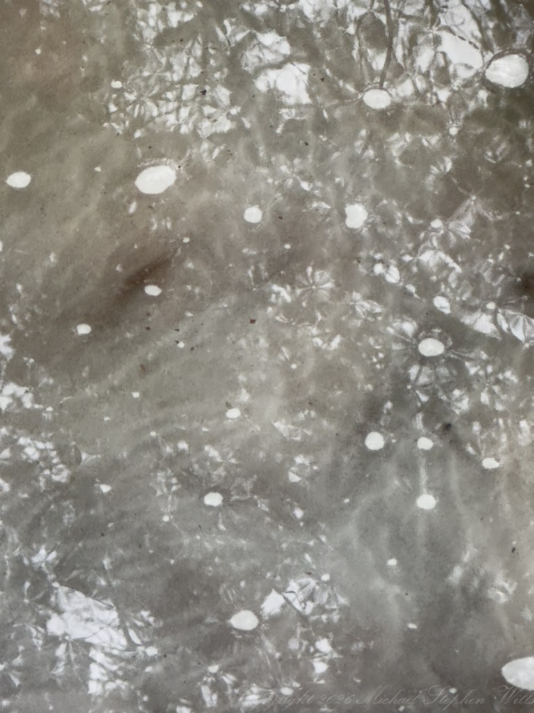
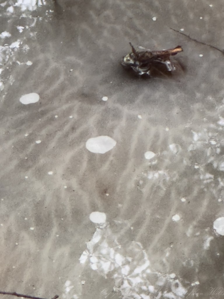
We moved downslope toward the seepage-fed lowlands that give this preserve its particular character. Here, the ground softens, water gathers, and winter lingers longer in pockets of ice that seem reluctant to relinquish their hold. The ice itself told a story—not clear and crystalline, but cloudy, milky, almost opalescent. This opacity is the signature of trapped air, minute bubbles frozen in suspension as water repeatedly melts and refreezes. Each cycle interrupts the orderly lattice of ice, scattering light and transforming transparency into a pale, diffused glow. It is ice that remembers its instability.
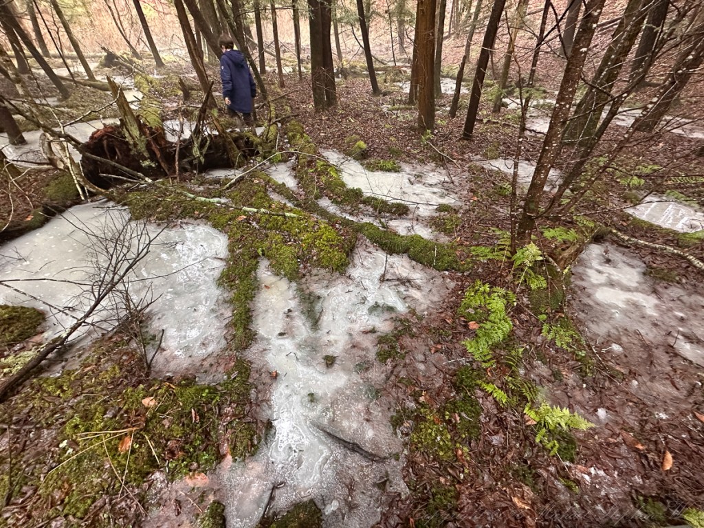
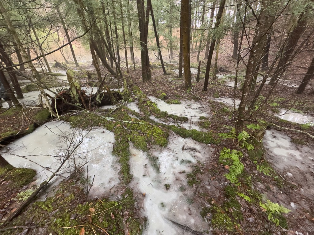
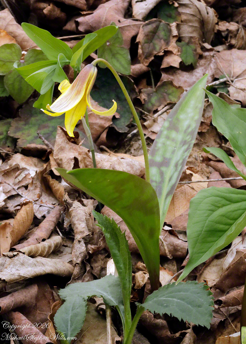
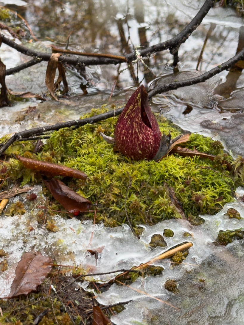
Threading through this ice were narrow rivulets of meltwater, tracing paths around moss-covered hummocks. These islands—bright green even in winter—rose like miniature continents in a frozen sea. On one such hummock, we found this skunk cabbage. Its mottled spathe, deep maroon flecked with yellow, pushed upward through the cold, its form both alien and ancient. I pointed out to the boys that this plant generates its own heat—a metabolic furnace capable of melting the surrounding snow. It is one of the earliest heralds of spring, though it announces itself not with color alone, but with scent—a pungency that walked with us that day.

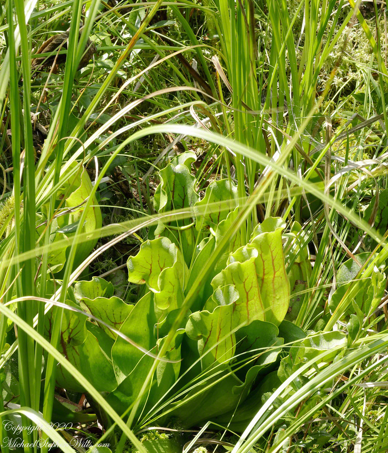
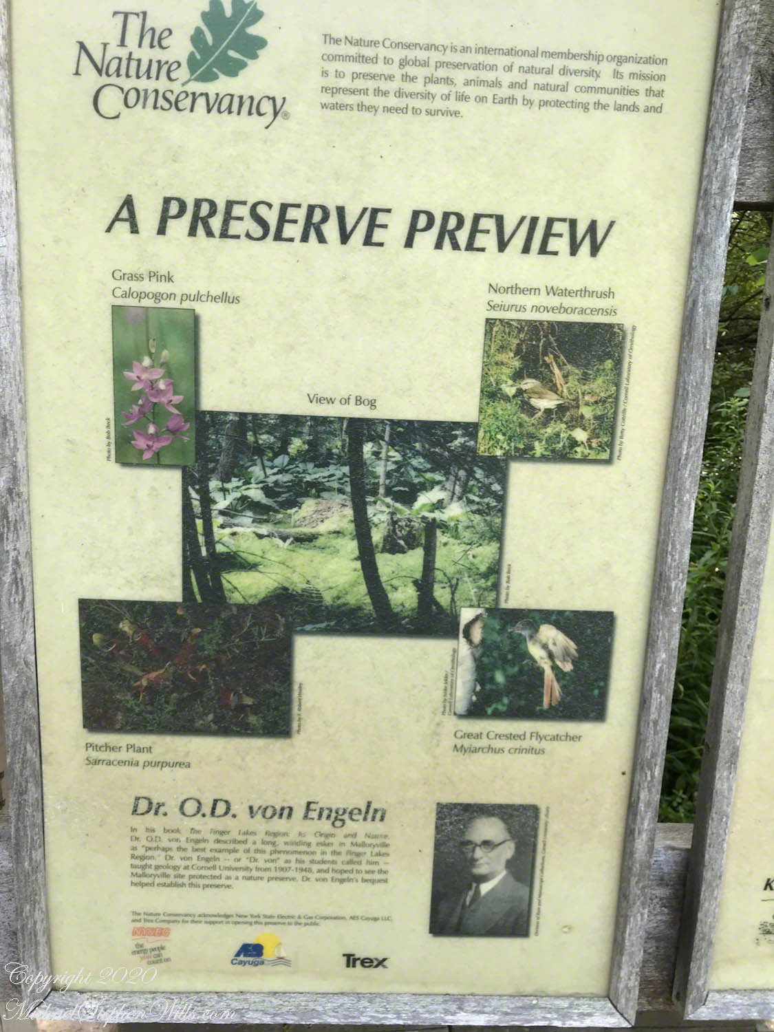
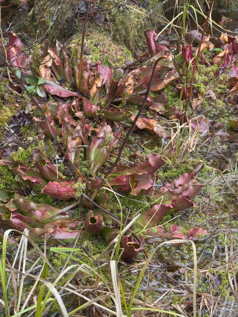
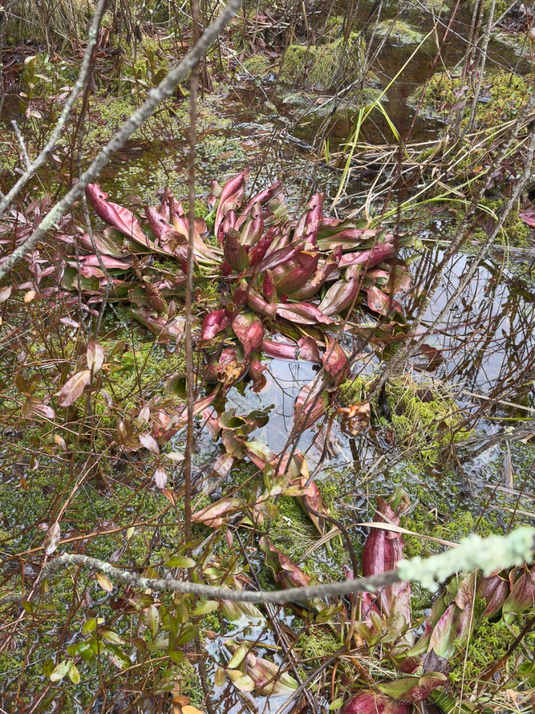
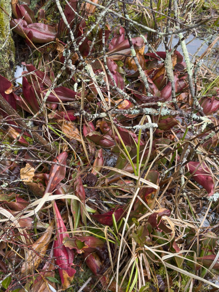
Nearby, nestled in the sphagnum, were the pitcher plants—Sarracenia purpurea—their tubular leaves tinged with winter’s reds and greens. Even in dormancy, they held their form, each pitcher a small reservoir. I explained how these plants supplement the nutrient-poor conditions of the bog by capturing insects, their modified leaves forming a subtle trap. The boys leaned in, curious, perhaps imagining the unseen dramas that would unfold here in warmer months.
The wetland was a place of plants and textures. The ice thinned near the edges, revealing water beneath that reflected the vertical lines of trees above. Droplets fell intermittently from branches, punctuating the quiet with soft, irregular taps. It was a landscape in transition, each element negotiating its passage from one state to another.
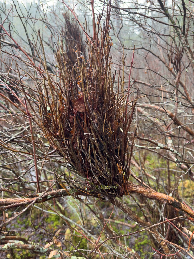
Along a tangle of shrubs, I noticed an unusual growth—a dense, broom-like cluster of twigs protruding from what appeared to be a highbush blueberry. This “witches’ broom” is often the result of fungal infection or other physiological stress, causing the plant to produce a profusion of shoots from a single point. To a child’s eye, it might seem like a bird’s nest or some deliberate construction, but it is, in fact, the plant’s own altered architecture—a distortion that nonetheless becomes part of the ecosystem, offering shelter to small creatures.
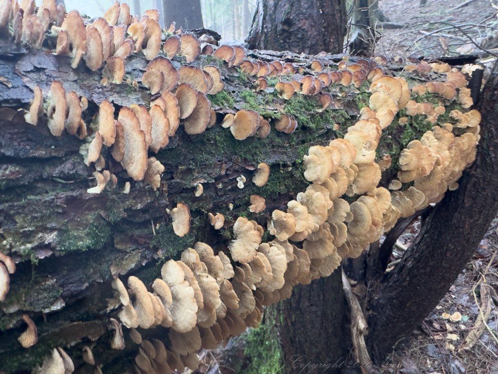
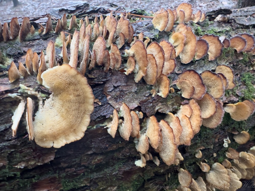
Further along, a fallen log bore the layered forms of shelf fungi, each bracket extending outward like a series of pages half-opened. Their colors—muted tans and browns—blended with the wood, yet their structure was unmistakable. These polypores are the quiet recyclers of the forest, breaking down lignin and cellulose, returning the substance of the tree to the soil. I ran my fingers lightly along their surface, feeling the fine texture, while the boys, less cautious, tapped them as though testing their solidity.
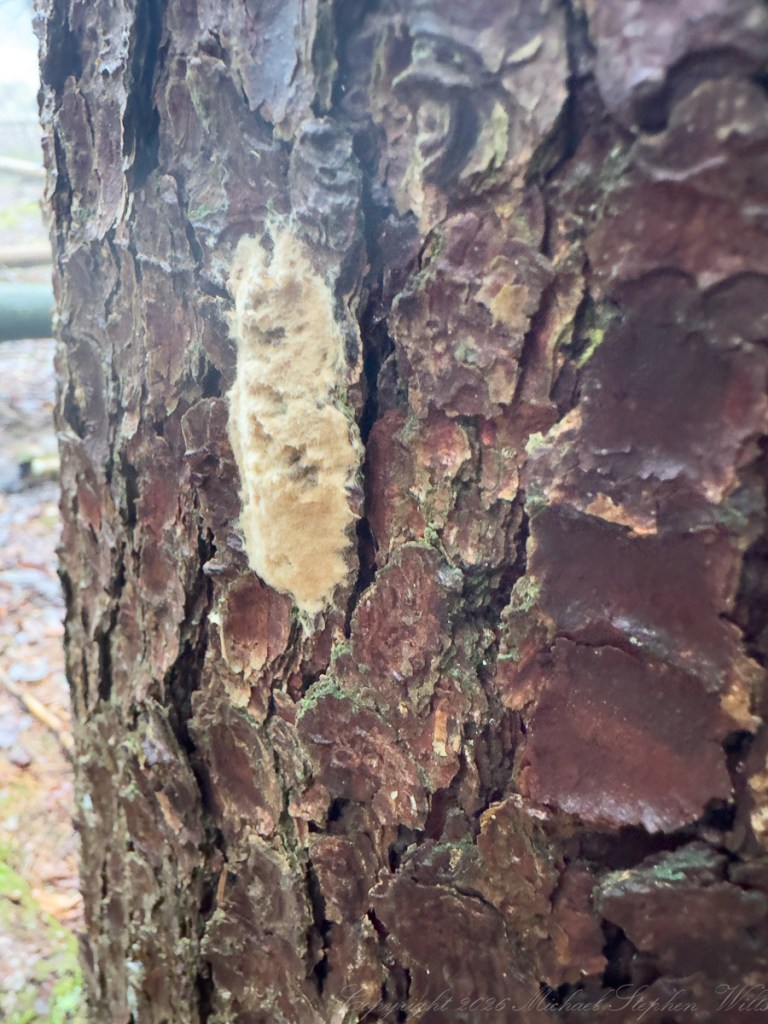
On the bark of a nearby tree, we encountered a patch of what looked like pale, fuzzy insulation—the egg mass of the spongy moth. I explained that each of these masses could contain hundreds of eggs, waiting for the warmth of spring to hatch. It was a reminder that even in this subdued season, the next wave of life was already prepared, concealed in plain sight.
As we made our way back, the boys’ boots squelched in the soft ground, their earlier perch on the stump now a distant memory. Yet the morning had offered them—and me—something more enduring than a climb. It had revealed a landscape in flux, where ice is not merely frozen water but a record of change, where plants defy cold through chemistry, and where even decay participates in renewal.
Late winter, in a place like Malloryville, is not an absence of life but a study in persistence. It asks for attention, for patience, and for a willingness to see beauty in transition. Walking with Sam and Rory, I was reminded that discovery does not wait for spring. It is already here, written in ice, moss, and the quiet industry of the forest.