Click Me for this Finger Lakes Collection, a great place to visit.
Several possible sources have been proposed for the name Taughannock, all of which describe Native American origins. One translation suggests that the name is derived from a combination of Iroquois and Algonquin terms meaning “great fall in the woods”. An alternate theory suggests that the name may refer to a Lenni Lenape (Delaware) chief named Taughannock who died near the falls during a battle.

During the second half of the nineteenth century, steamboats, railroads and Victorian hotels were built in the region to serve tourists who traveled to view the falls. By 1925 the hotels were failing due to a decline in tourism, and New York State began acquiring land to form a park.

J.S. Halsey built a two and a half story hotel in 1850, known variously as the Cataract Hotel or Taughannock House (or simply as Halsey’s Hotel) at the Taughannock Falls Overlook.
Visitors could reach the hotel by taking a train to Cayuga Lake, take a steamboat across the lake to Goodwin’s Point, then finally board a stagecoach to reach the hotel. The hotel site today is the location of the park visitor center and parking lot.
Enjoy!!

and ice cream!!
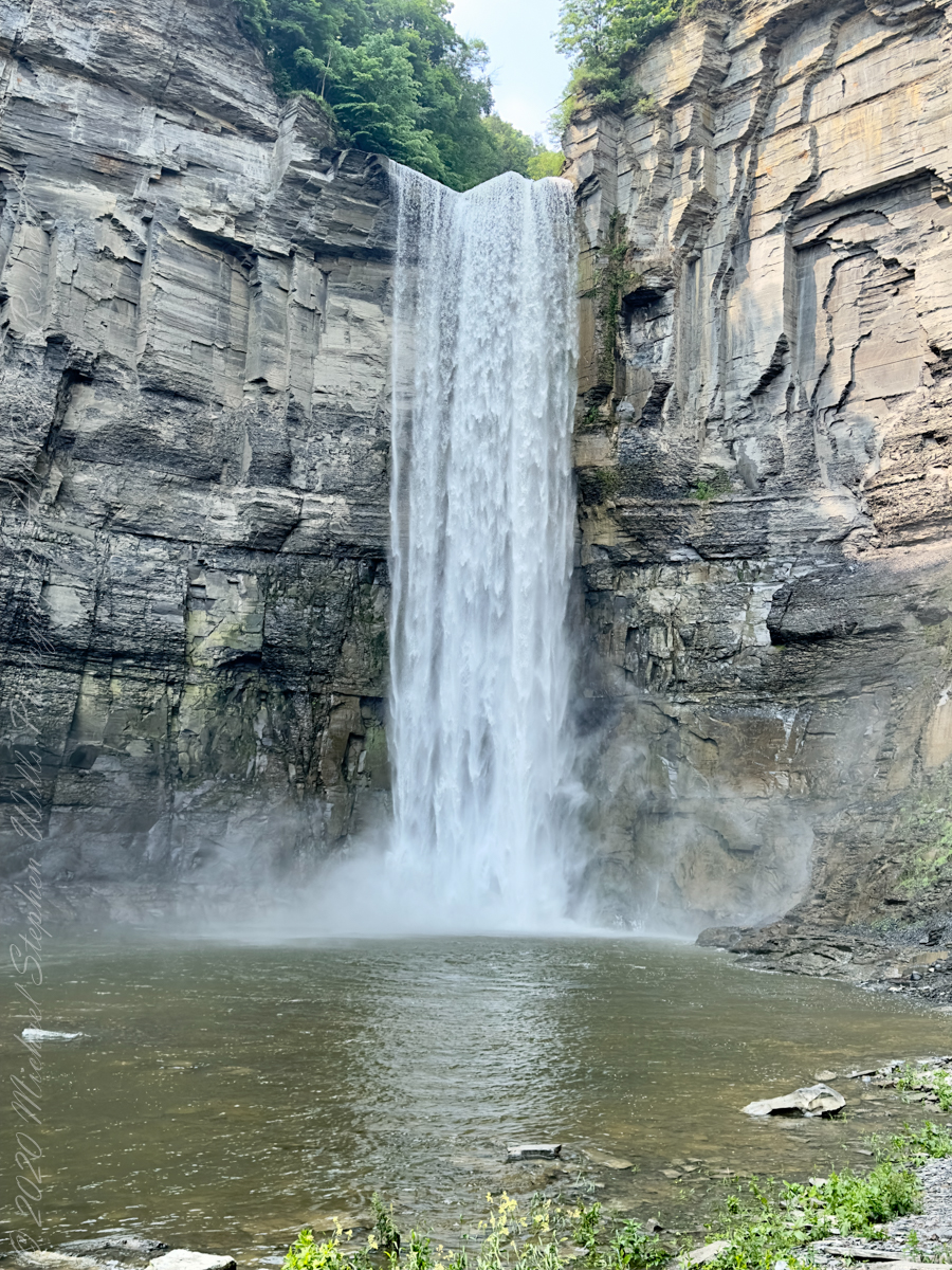
The waterfall and gorge comprise an example of a hanging valley, formed where Taughannock Creek’s stream-carved valley meets the deeper glacially carved valley that contains Cayuga Lake.
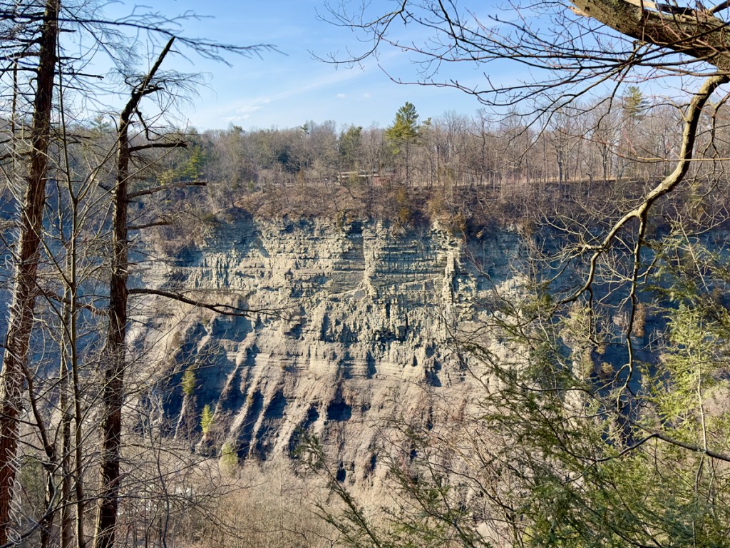
The gorge has continued to retreat westward from Cayuga Lake as easily eroded shale near the fall’s base is worn away by the stream, which supports erosion-resistant siltstone and sandstone found in the upper portions of the gorge.
Annual freeze and thaw cycles also act upon small faults in the rock, causing large sections to occasionally break away, further expanding the gorge.
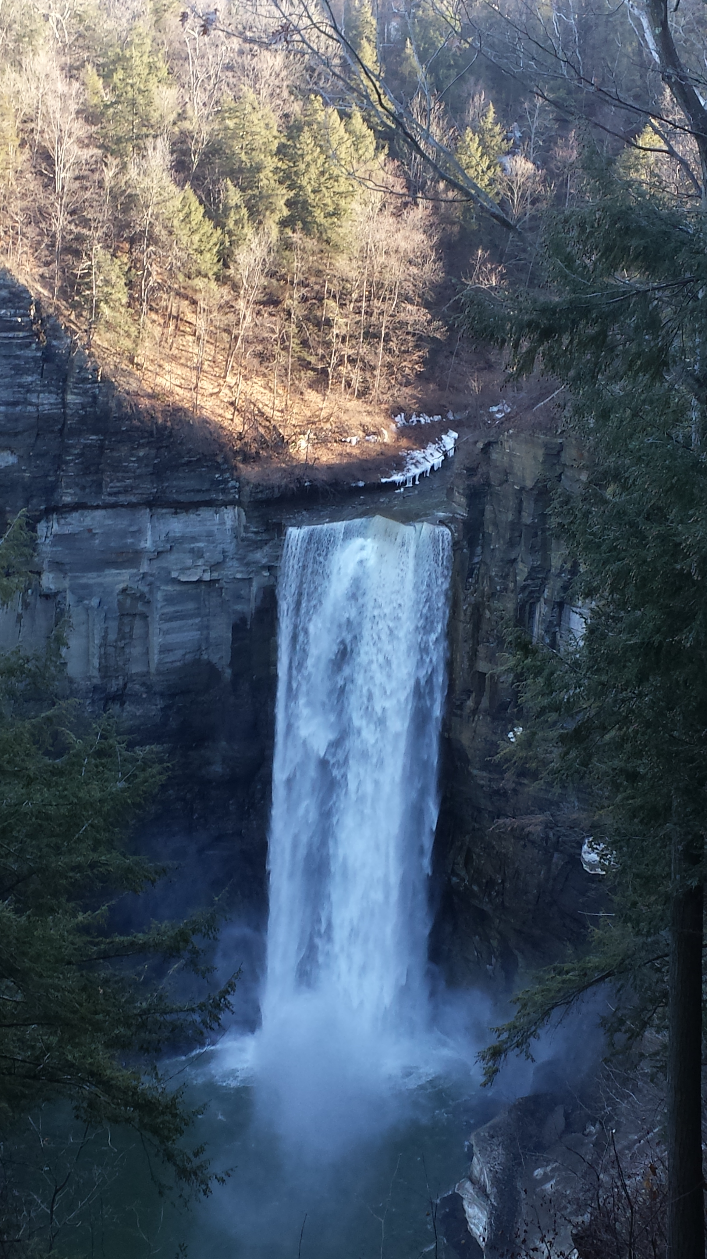
Taughannock Falls’ main cataract is a 215-foot drop (66 m), making it 33 feet (10 m) taller than Niagara Falls. It is the tallest single-drop waterfall east of the Rocky Mountains. The waterfall is located along Taughannock Creek, which flows through a long gorge with cliffs up to 400 feet (120 m) high.
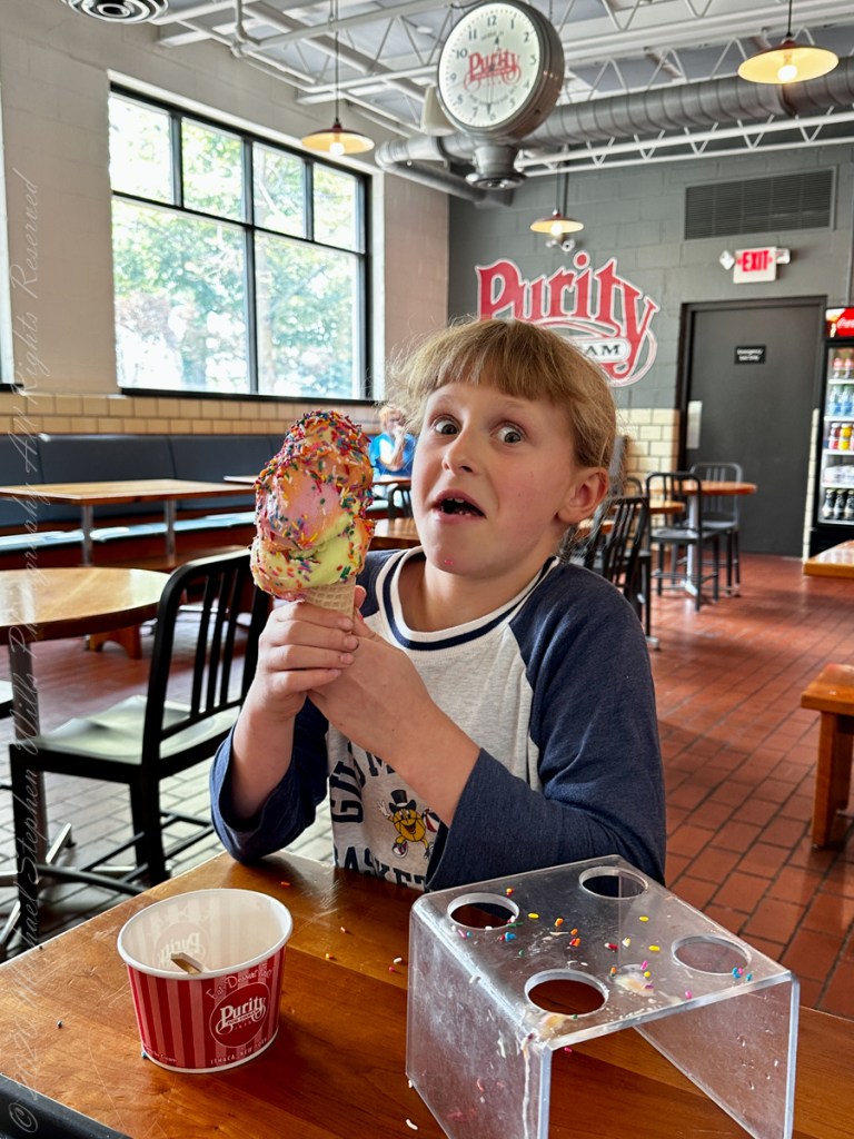
Enjoy!!

Spring Equinox
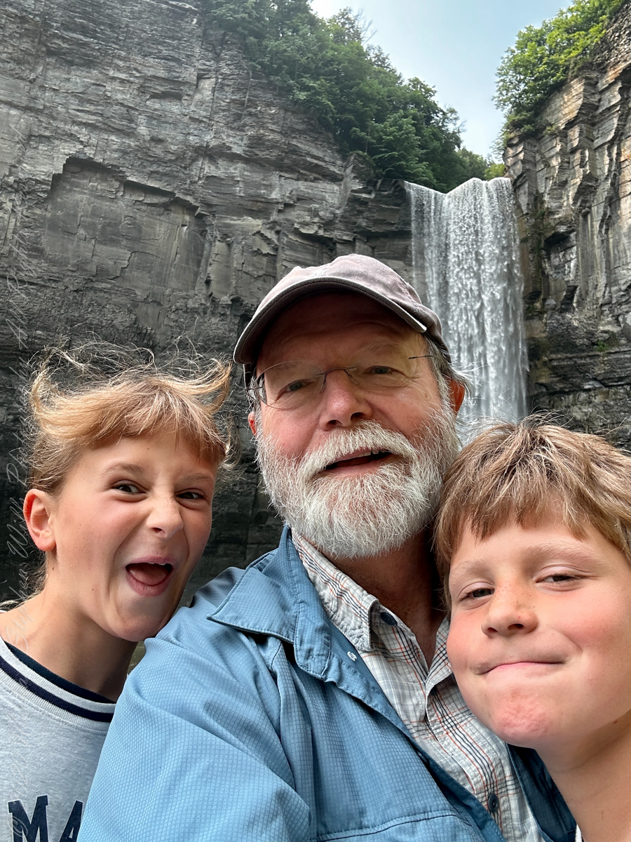
Thank You for exploring with me the South Rim trail of Taughannock Falls State Park on this first day of Spring 2023.


A tripod and Neutral Density filter
Winter 2020 I posted “Winter People Watching” featuring the Sony F828 and candid street photography.
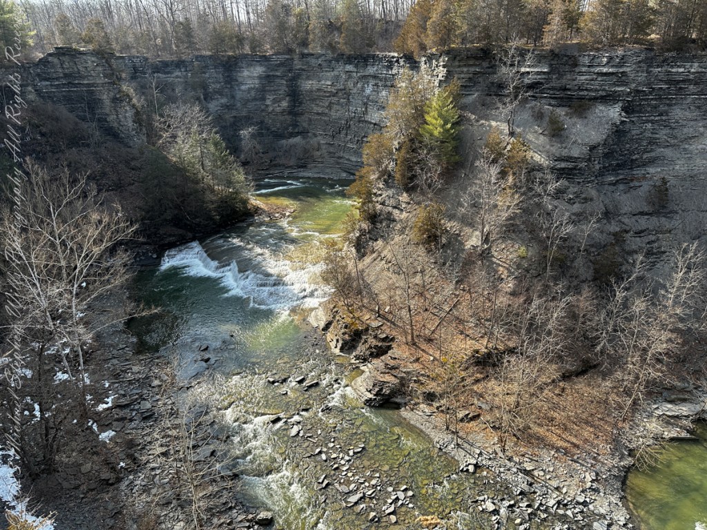
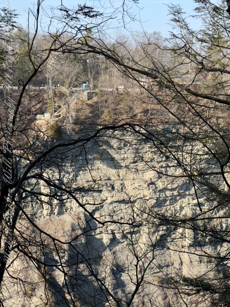
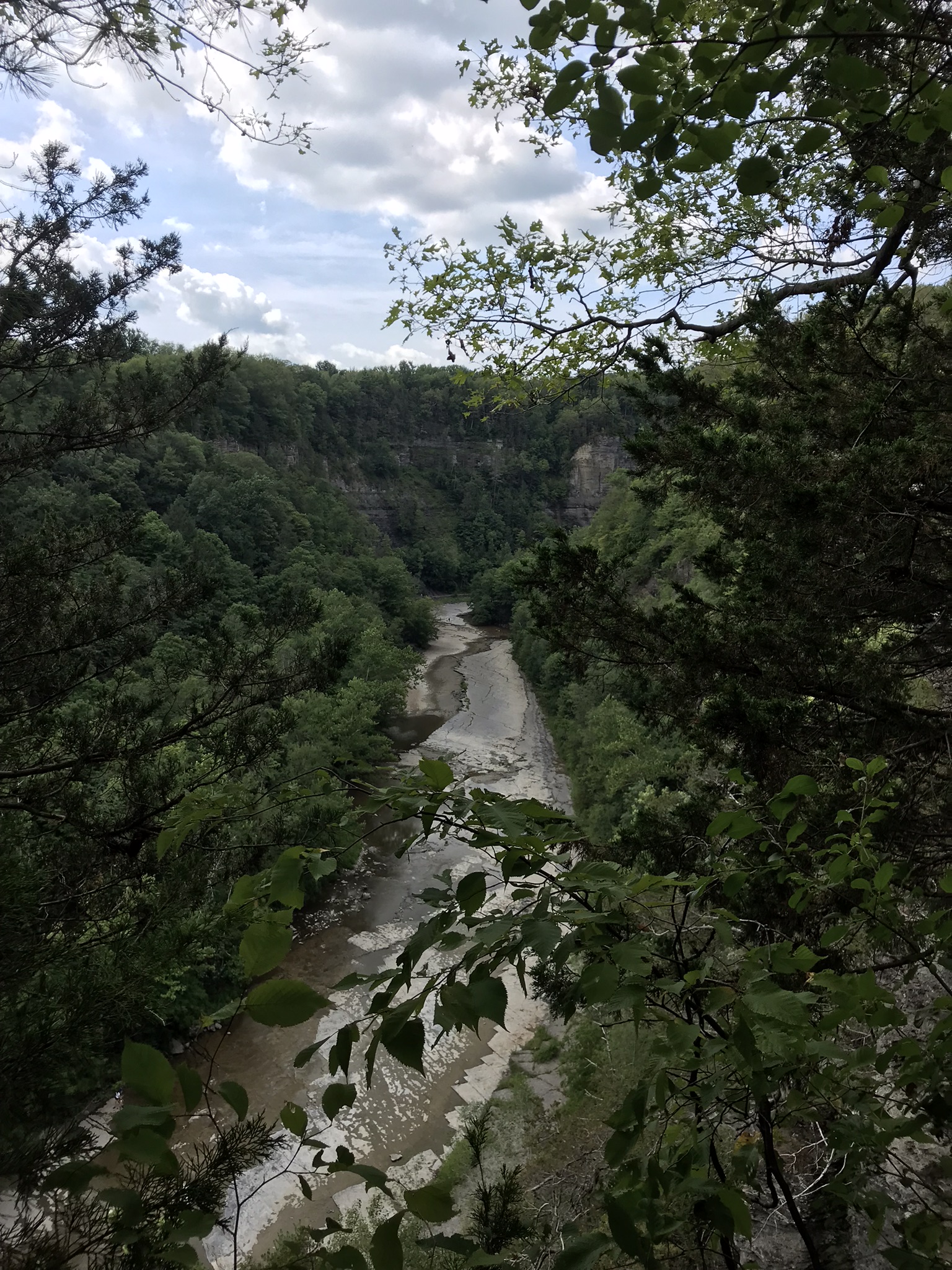
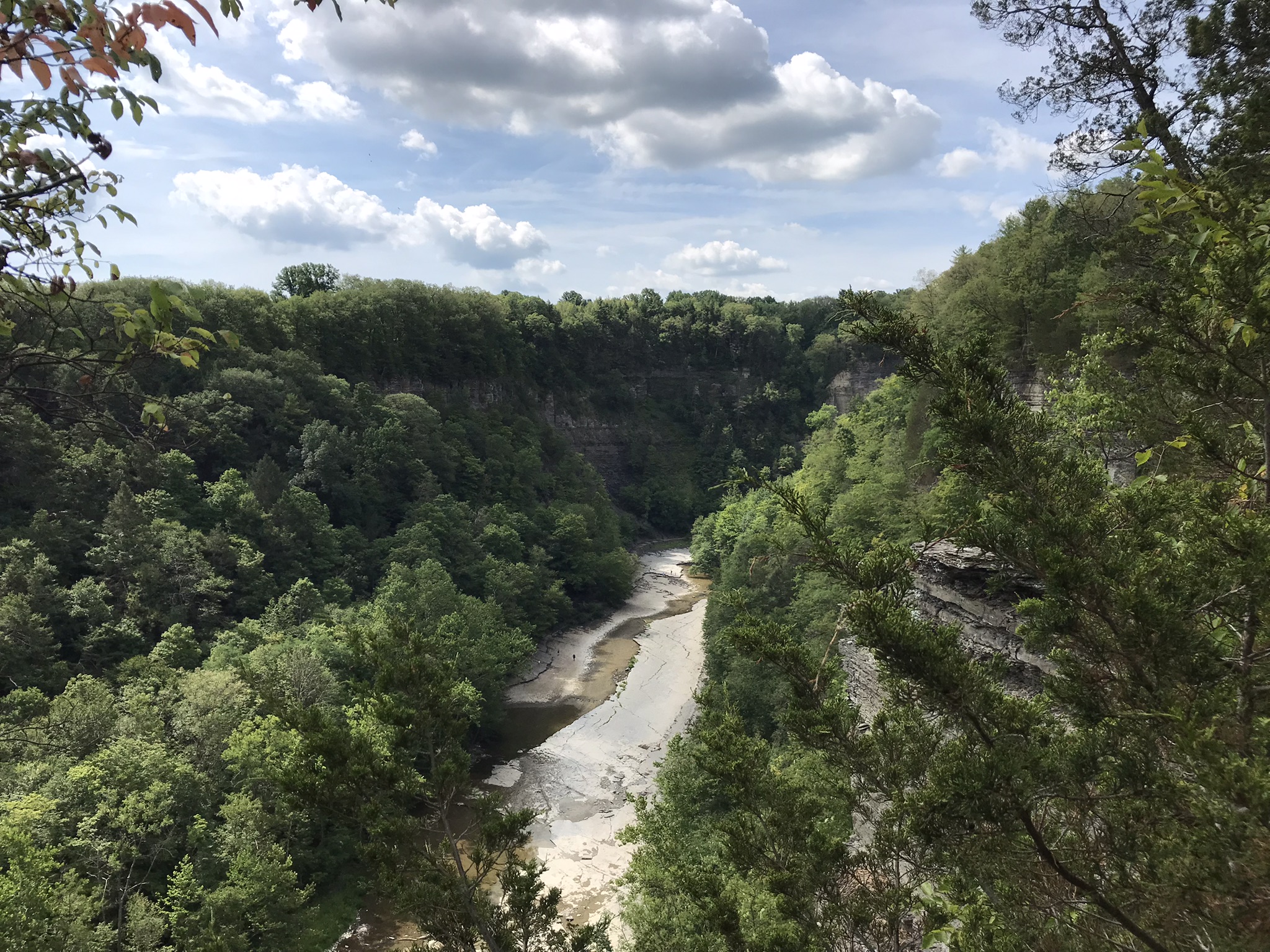
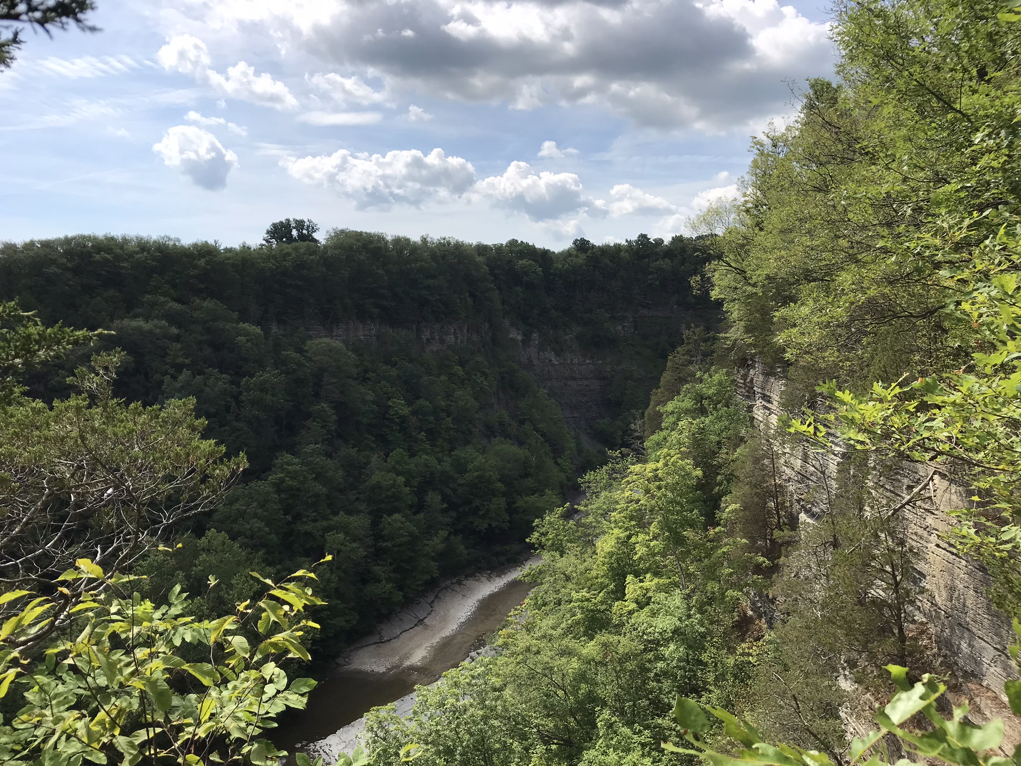
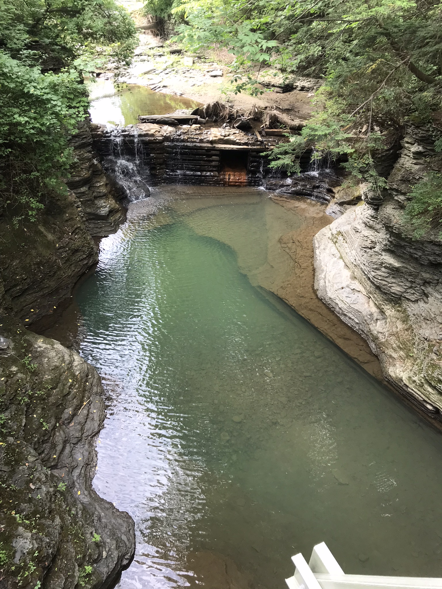
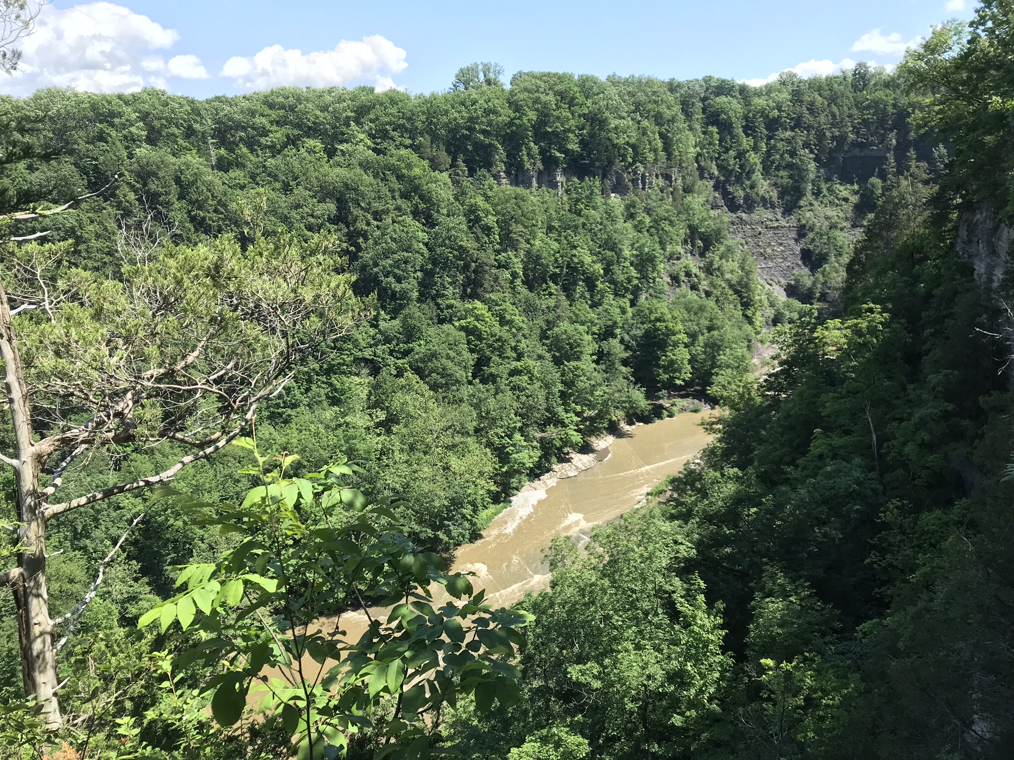
What I love about this place, a unique feature, is the size and different vantage points making it possible to view the same place from different angles. November 2019, readers were shown “The Bend,” a place with Taughannock gorge makes a 90 degree turn, changing from a southeastern to an eastern flow. Here are photographs from spot overlooked by that post.
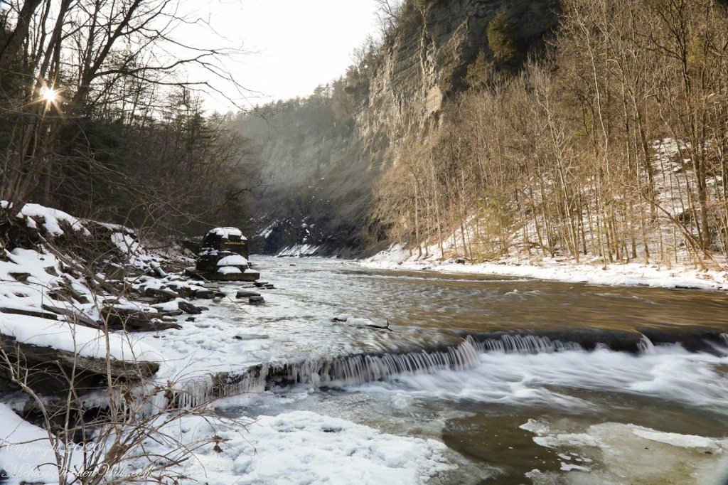
Here the camera faces away from the sun, the graduated neutral density filter allowing me to capture the cloudless blue sky, a little milky the way it is here February with a hint of spring.

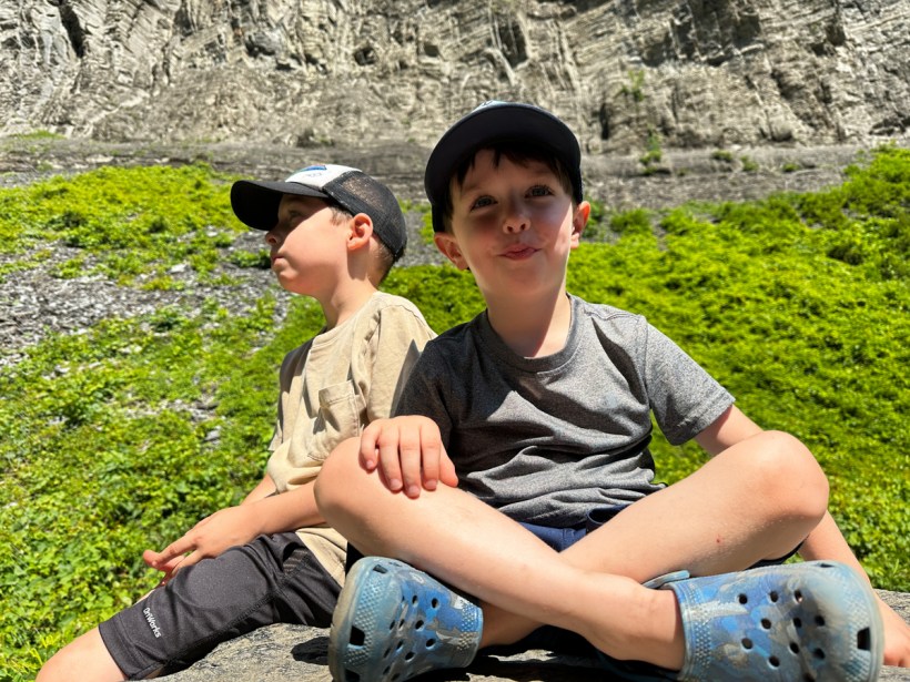
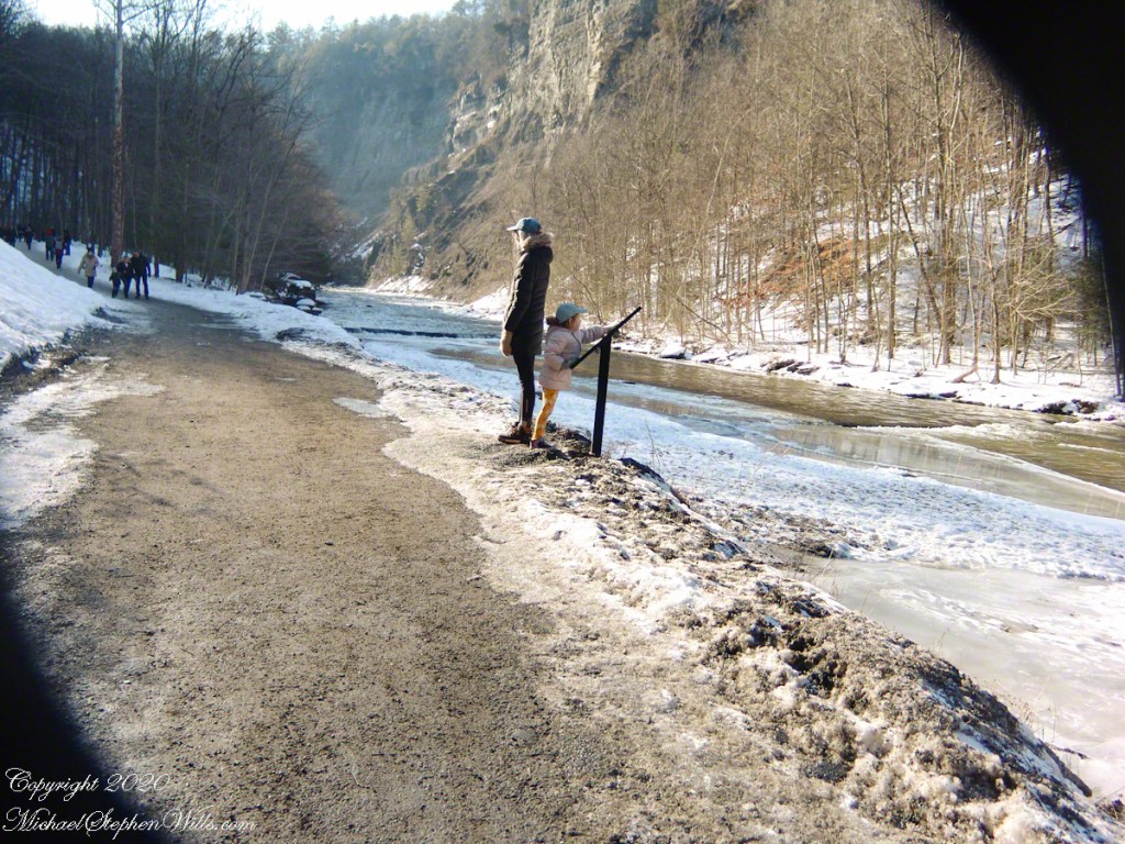
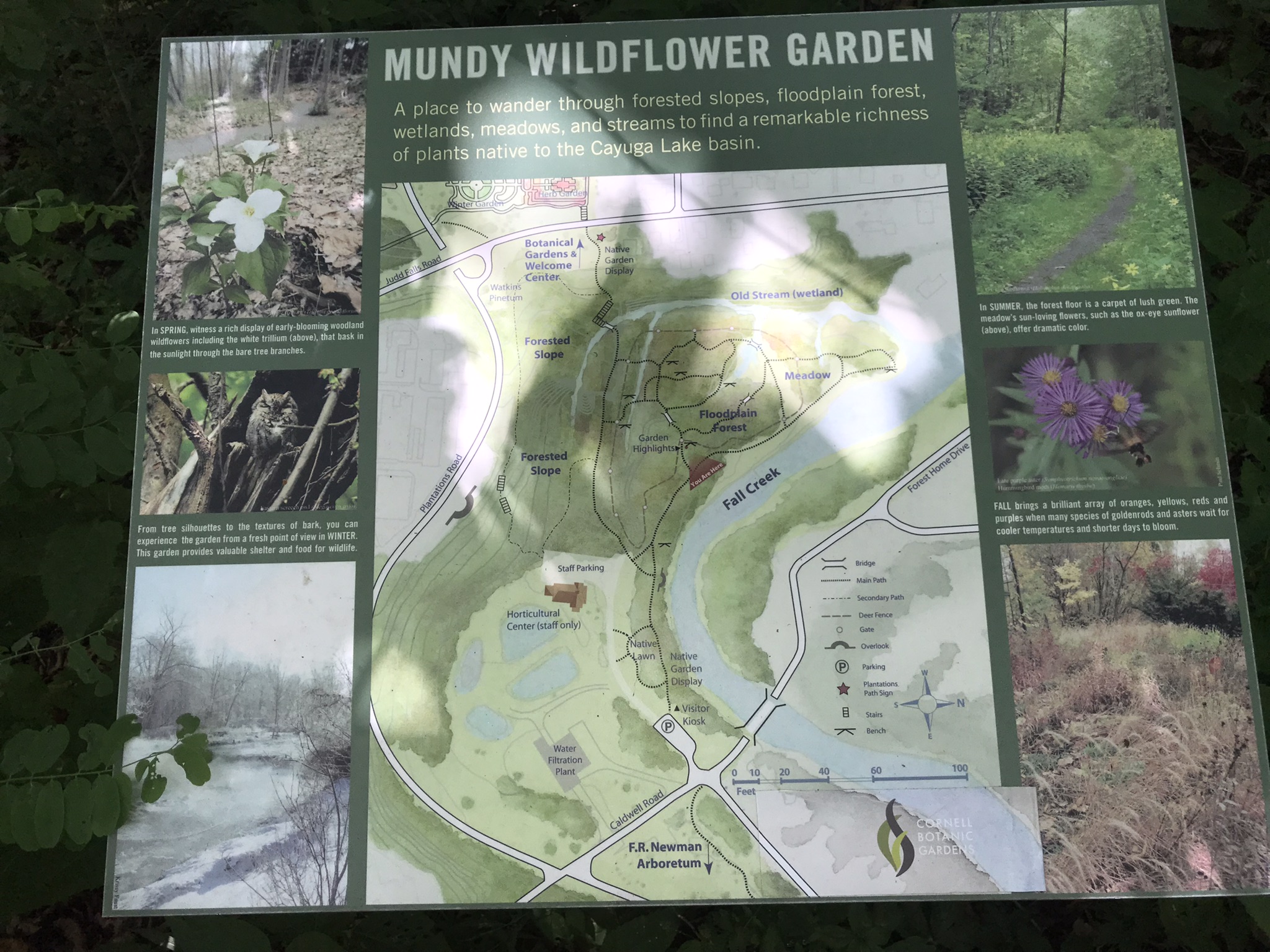
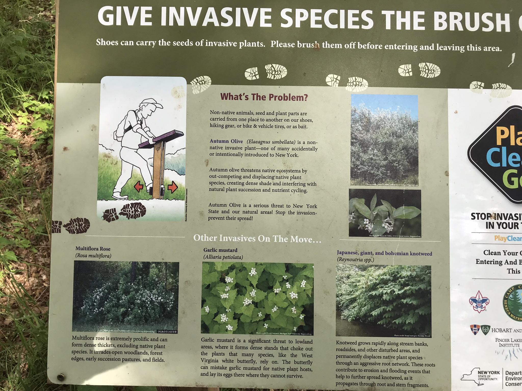
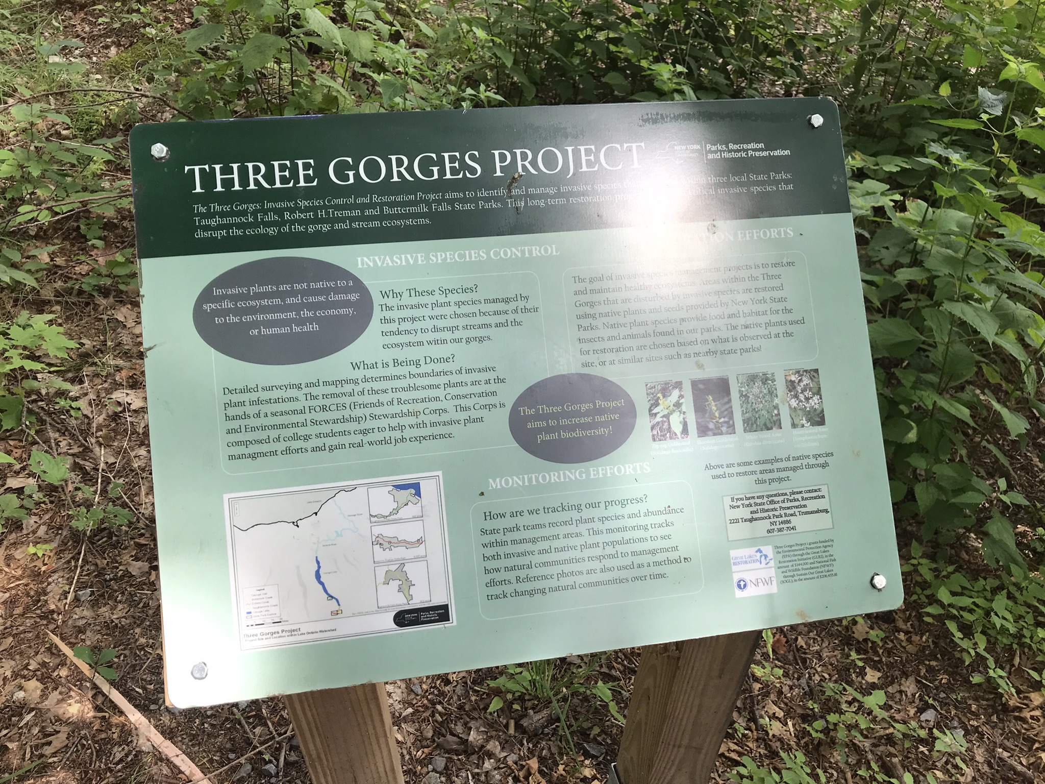
This little one is studying the information placard with rapt attention, learning how the African continent, pushing against North America, across the eaons, formed the right angle fractures mirrored by this dramatic change in Taughannock Gorge. For the Big Bend photographs I was standing behind them, along the stream bed.
Here is a broader slice of that sky.

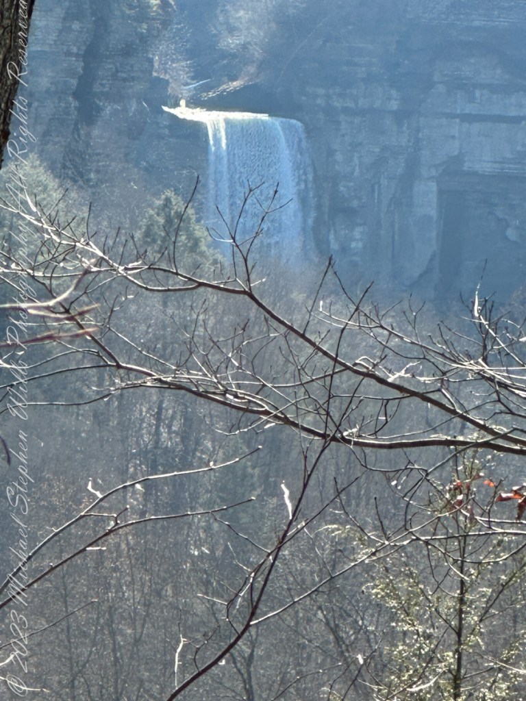
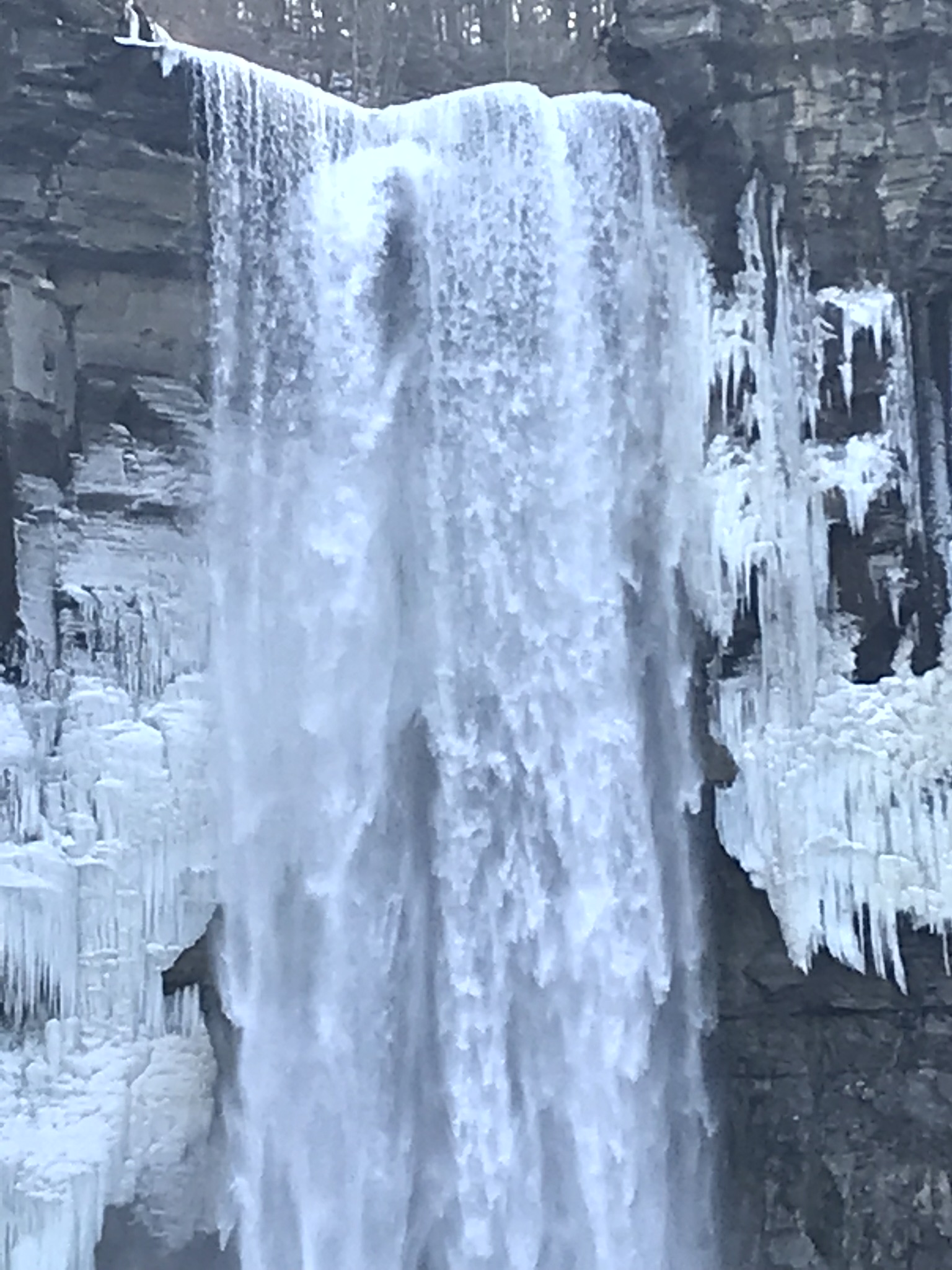
Can you see the tiny figures of hikers, dwarfed by the frozen cliff?


…and Gorge Cliffs
Purling of the water beneath this foot high waterfall was enhanced by reducing ISO to 100, tamping down the aperture to f/22 resulting in an shutter speed of 1/10th second. I set the graduated Neutral Density filter to shade the left side.
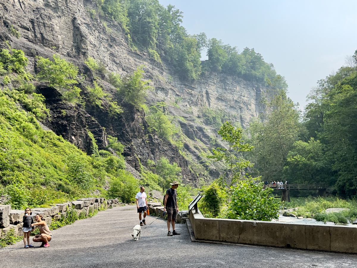
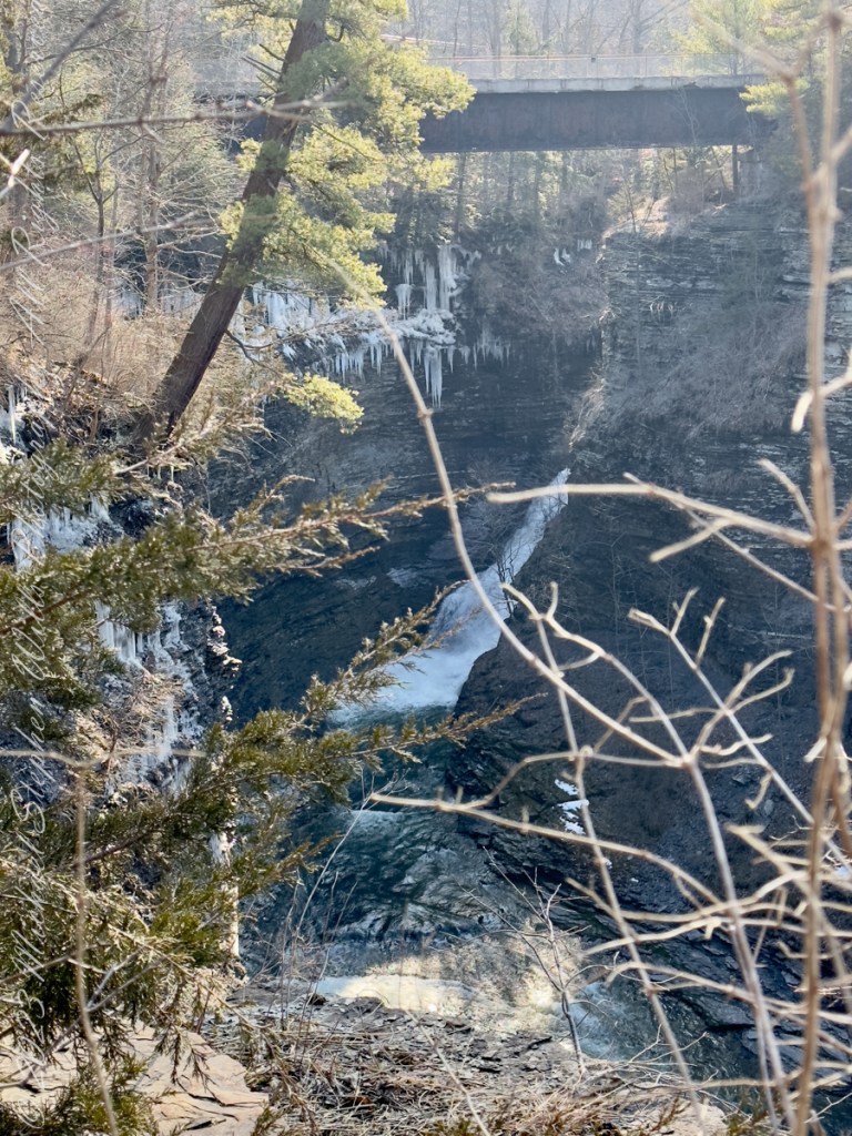
On the cliffs ahead is where the observation platform is cut into the rock. It has a great view of the waterfall, in some ways the experience of the falls is enhanced, compared to hiking the 3/4 mile path and standing below.
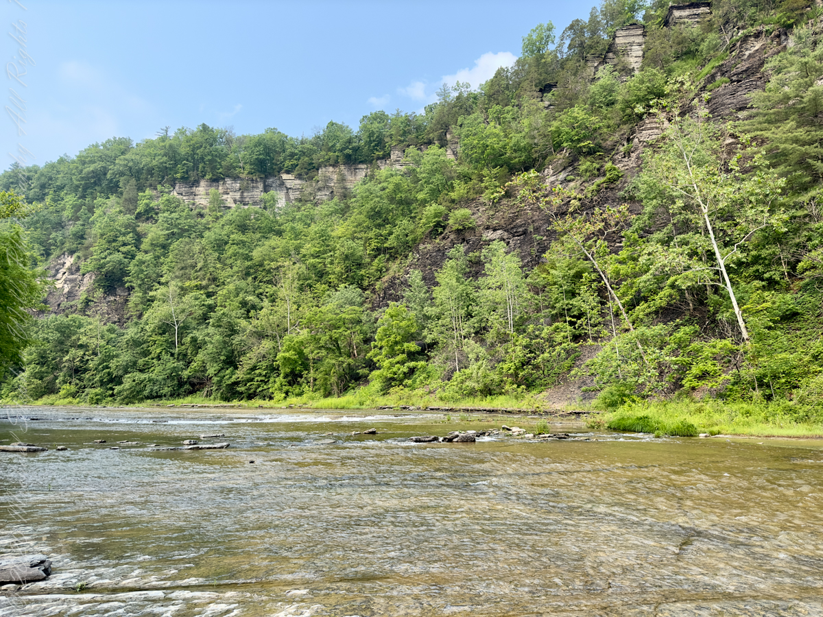
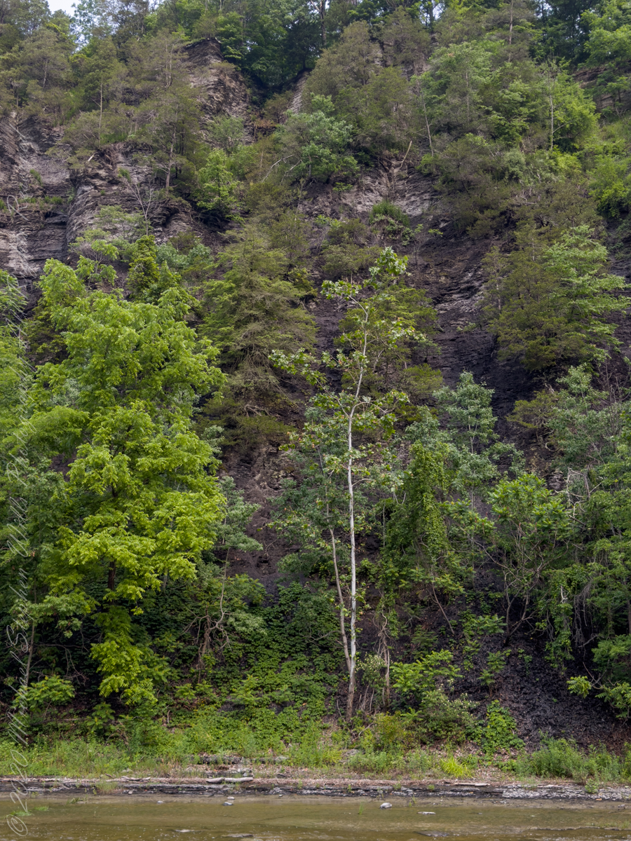
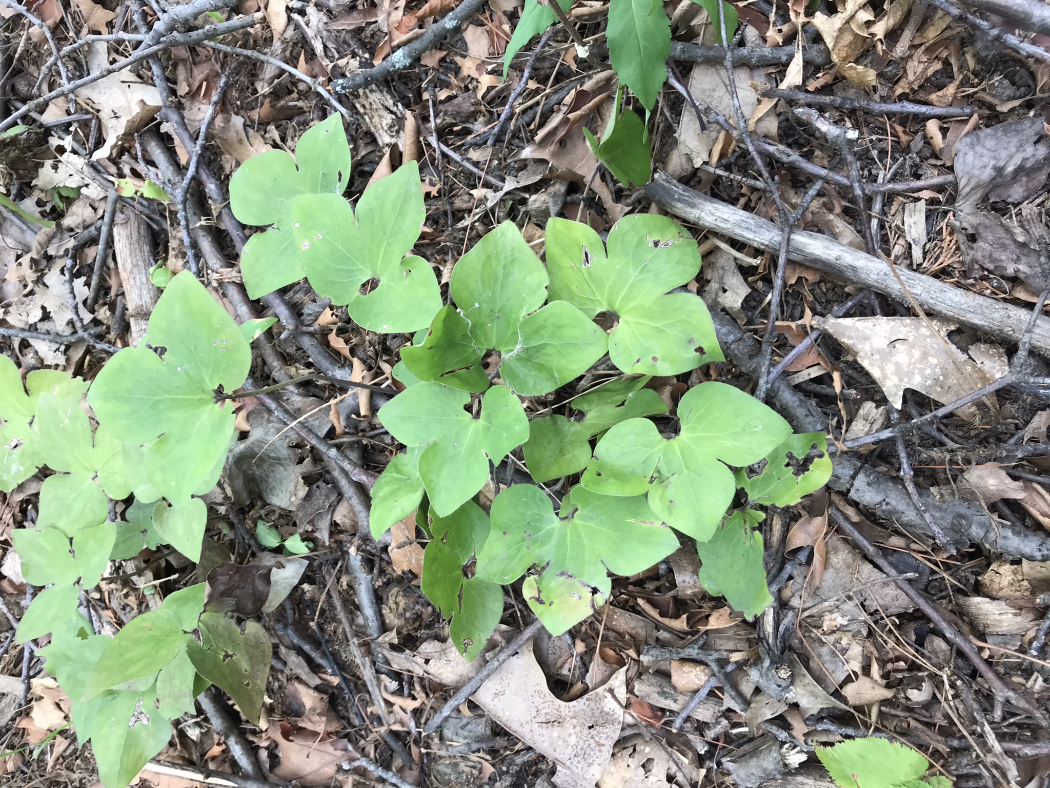
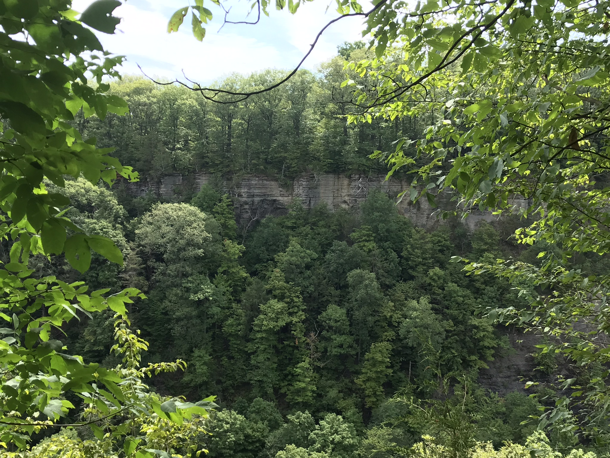
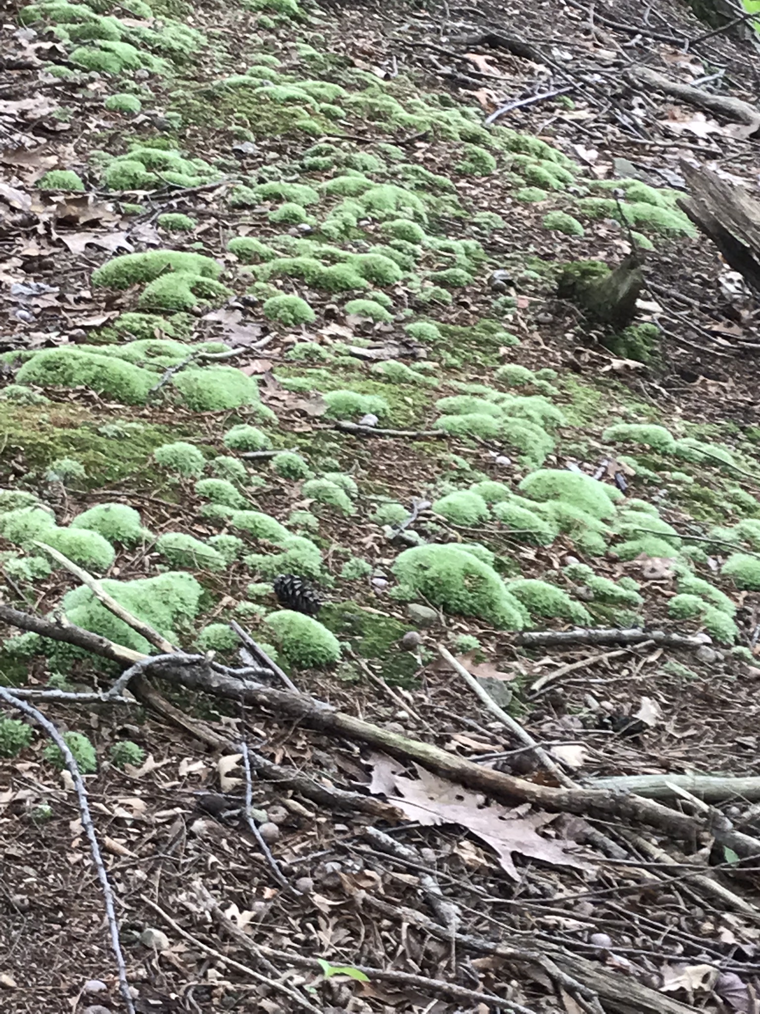
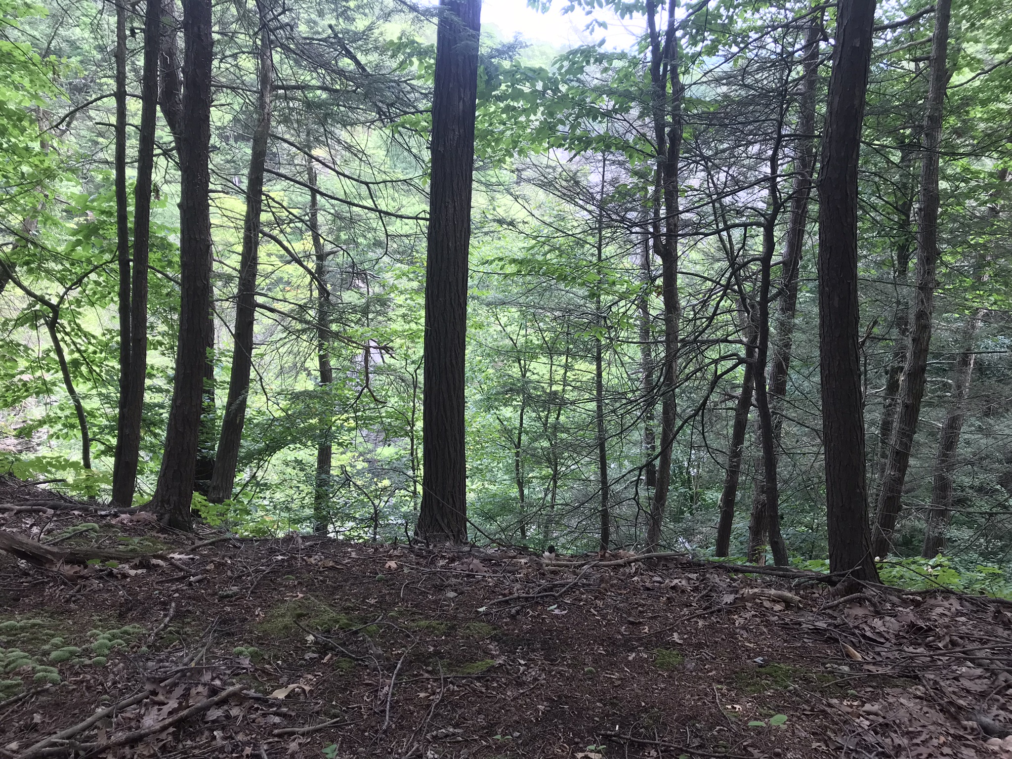
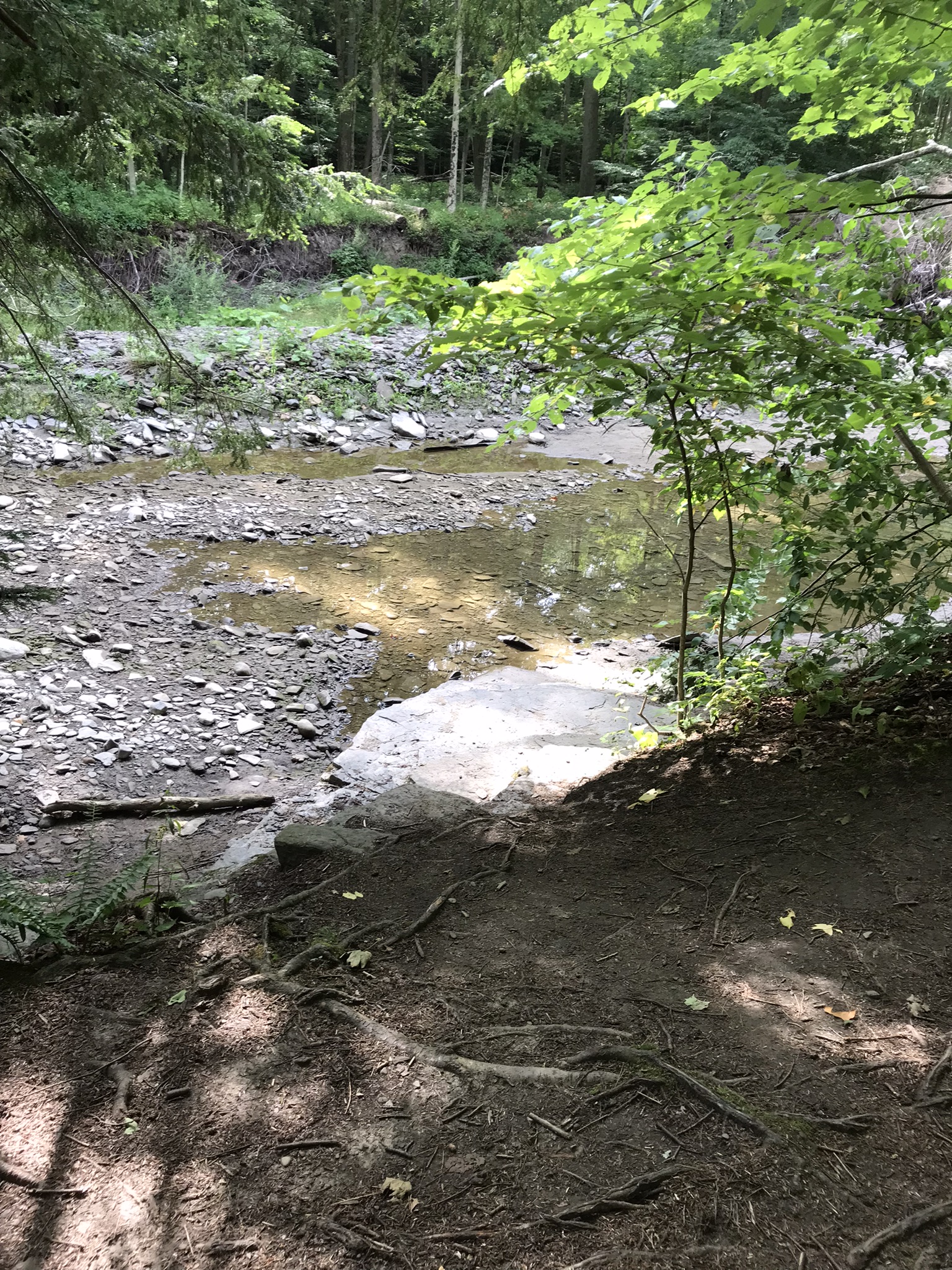
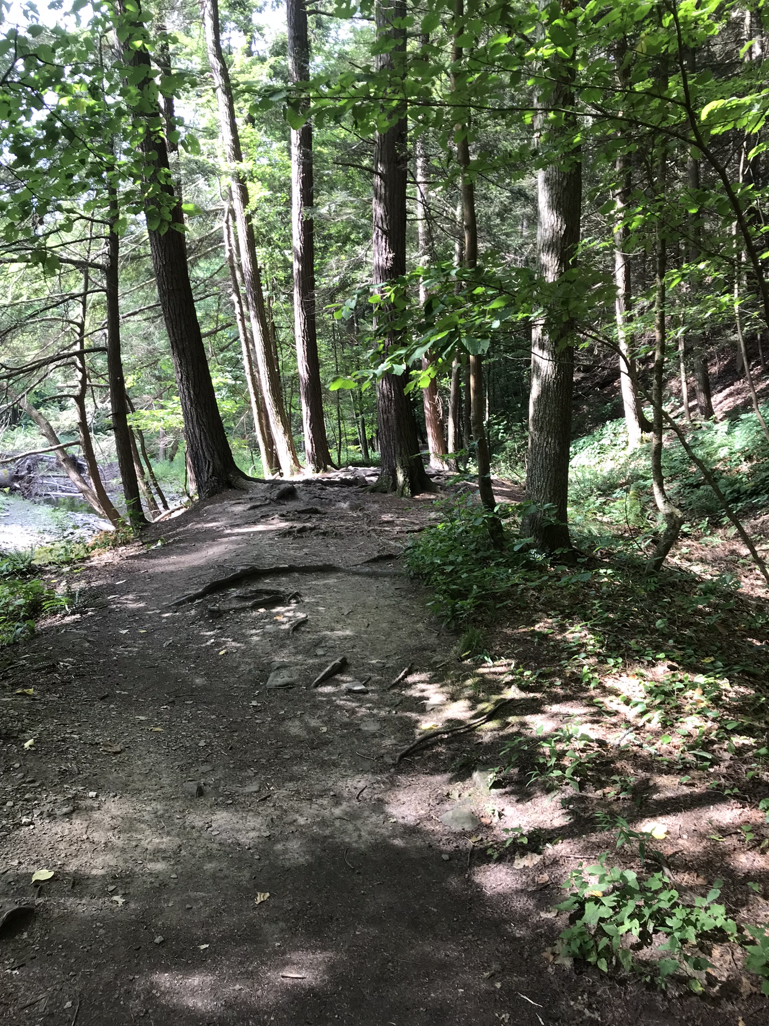
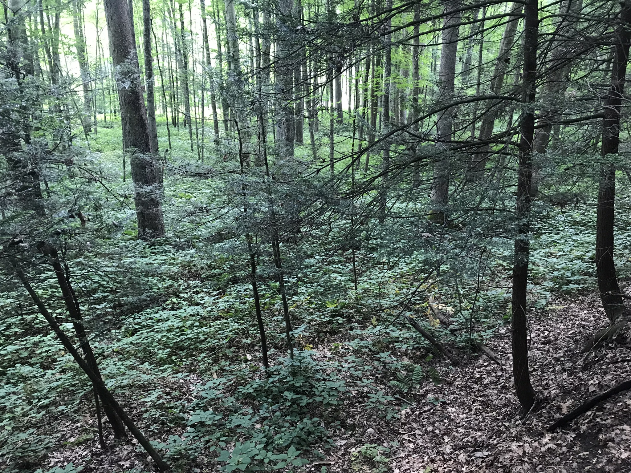
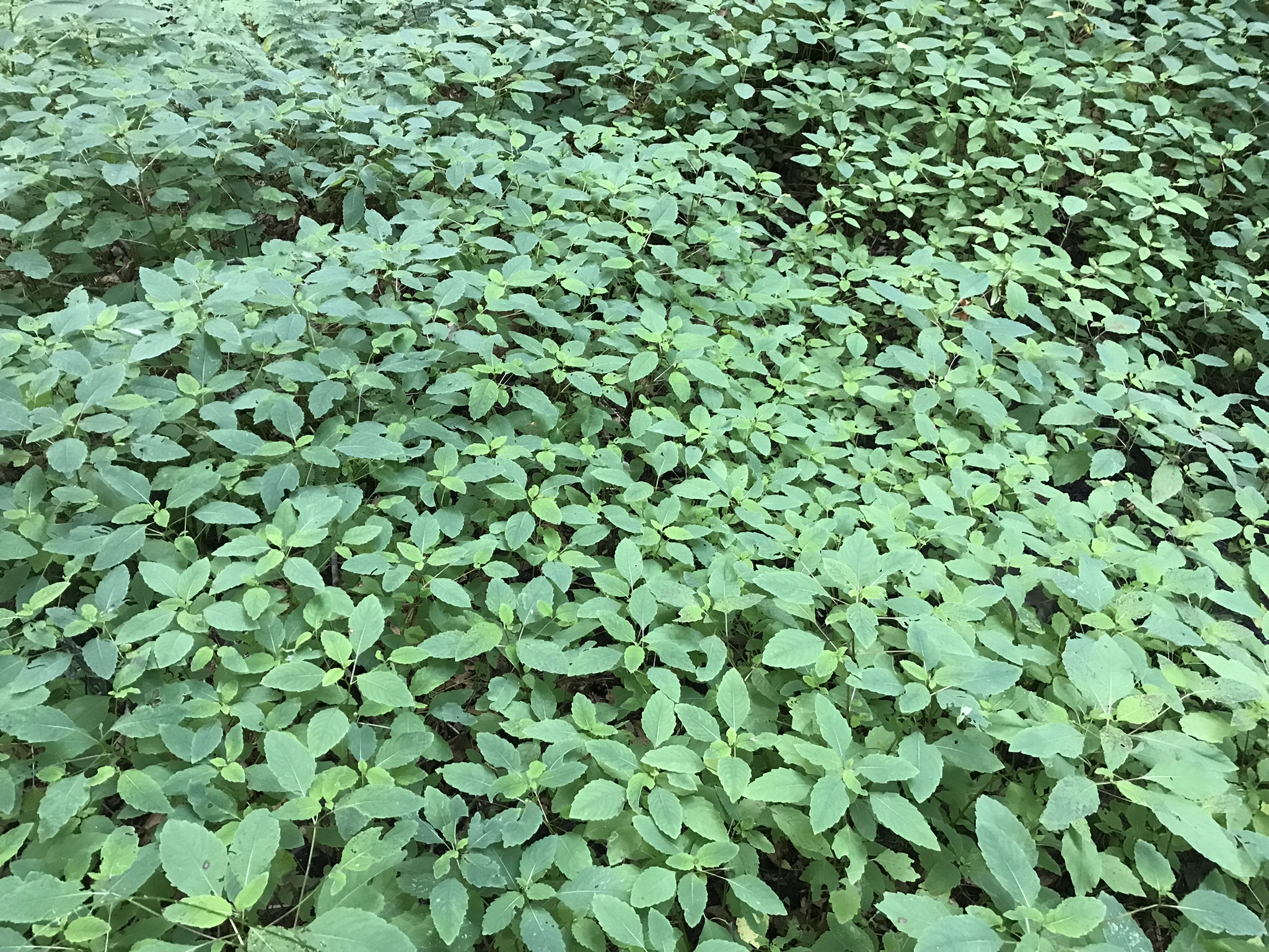
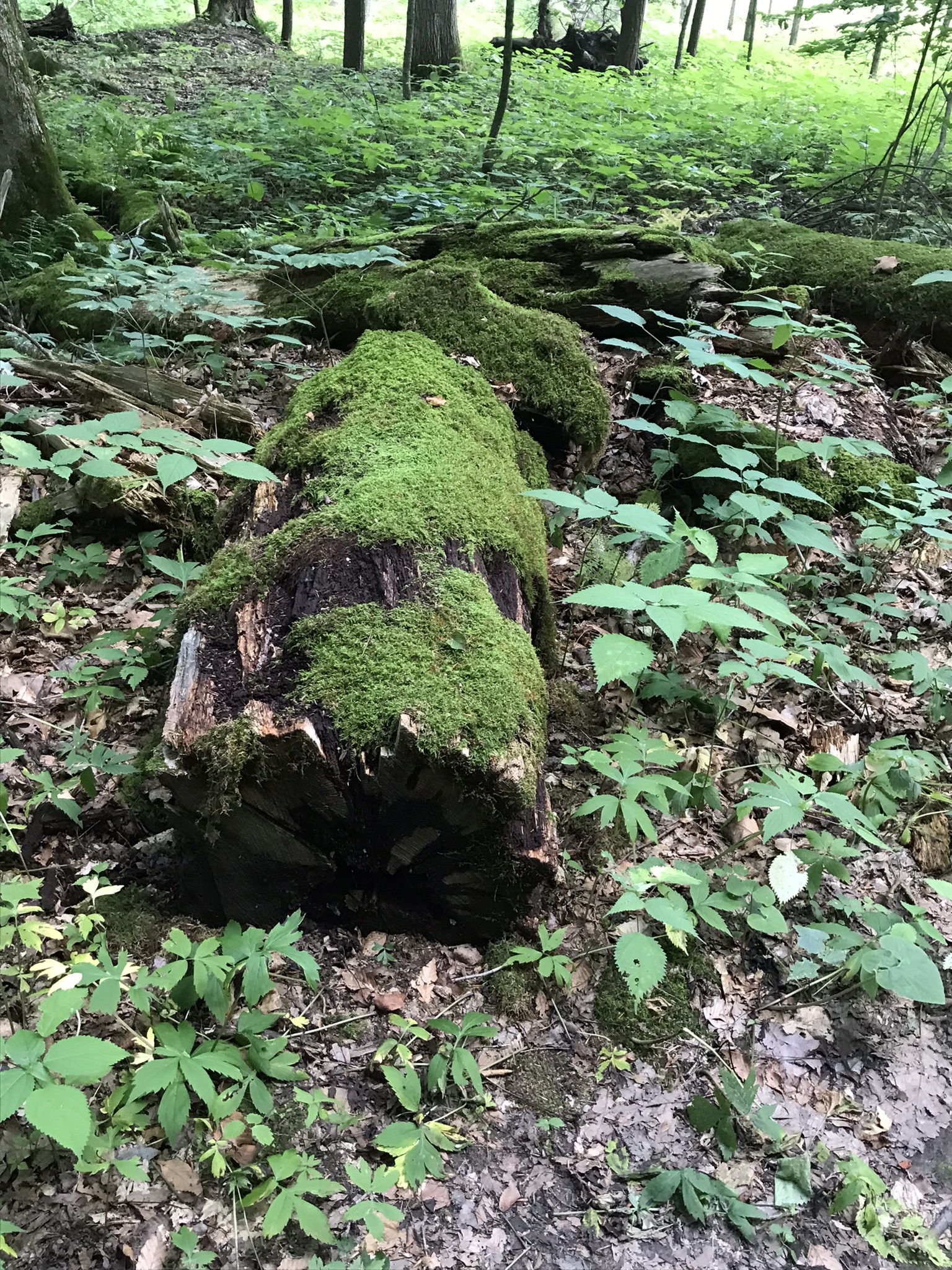
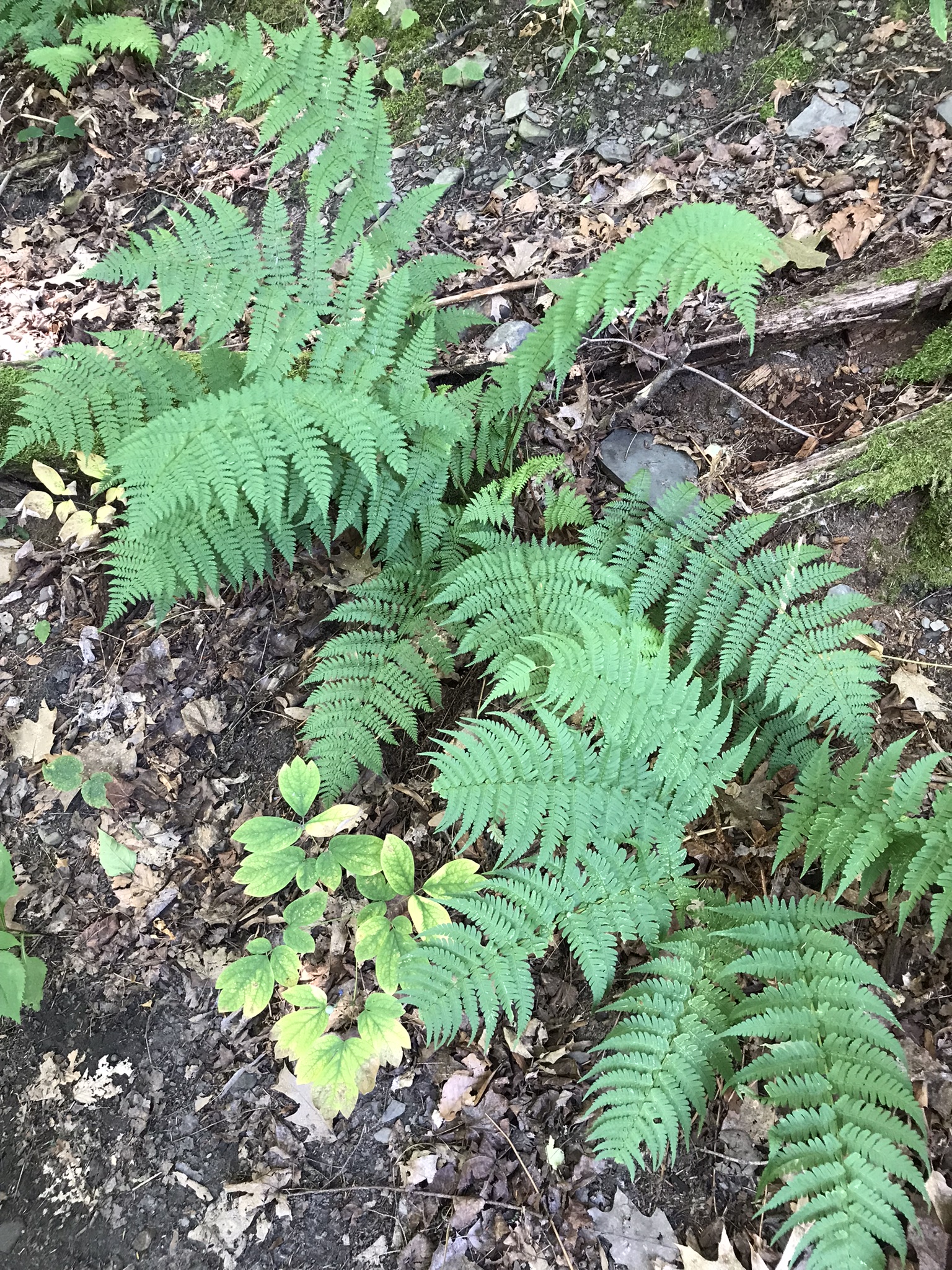
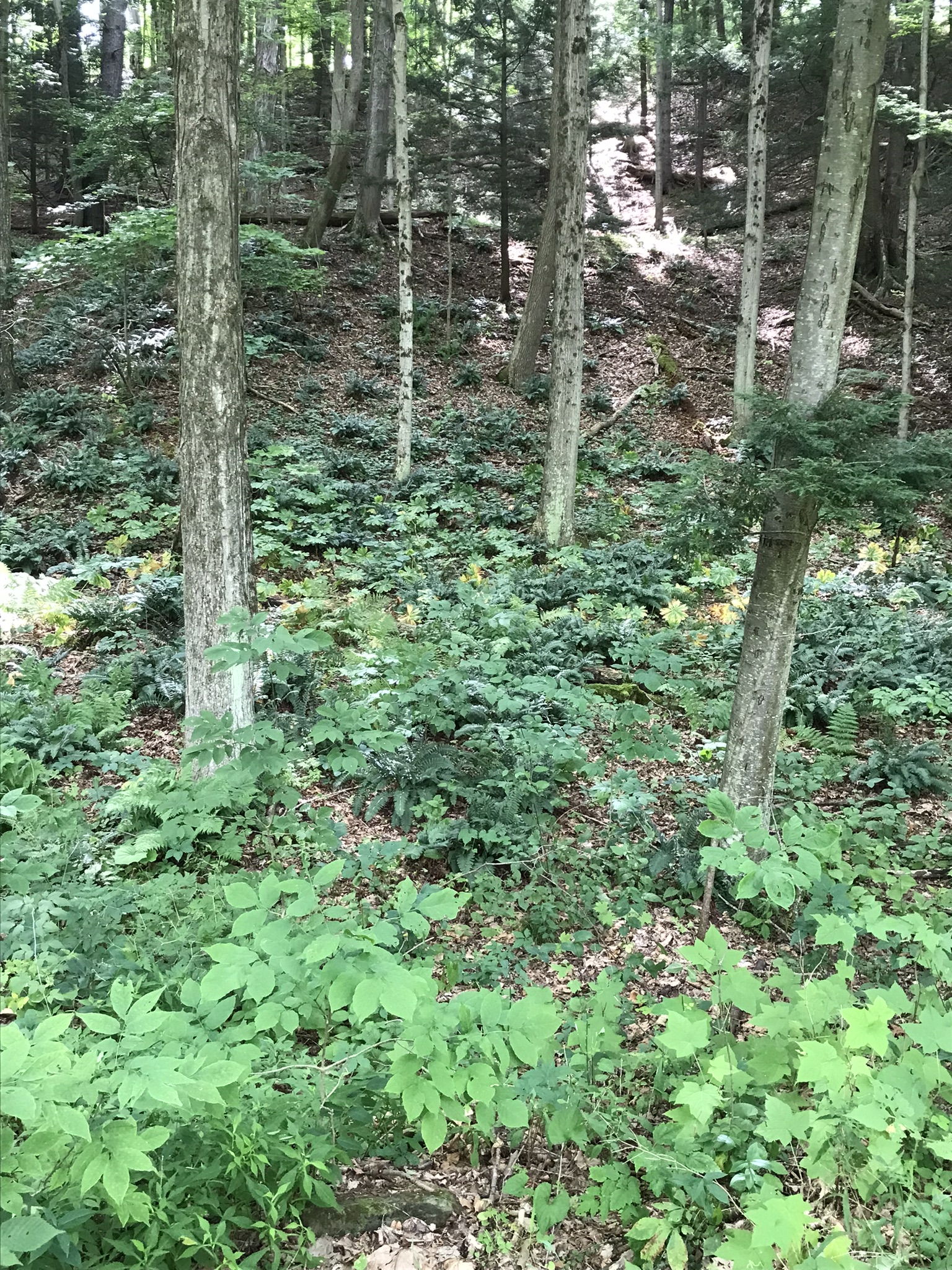
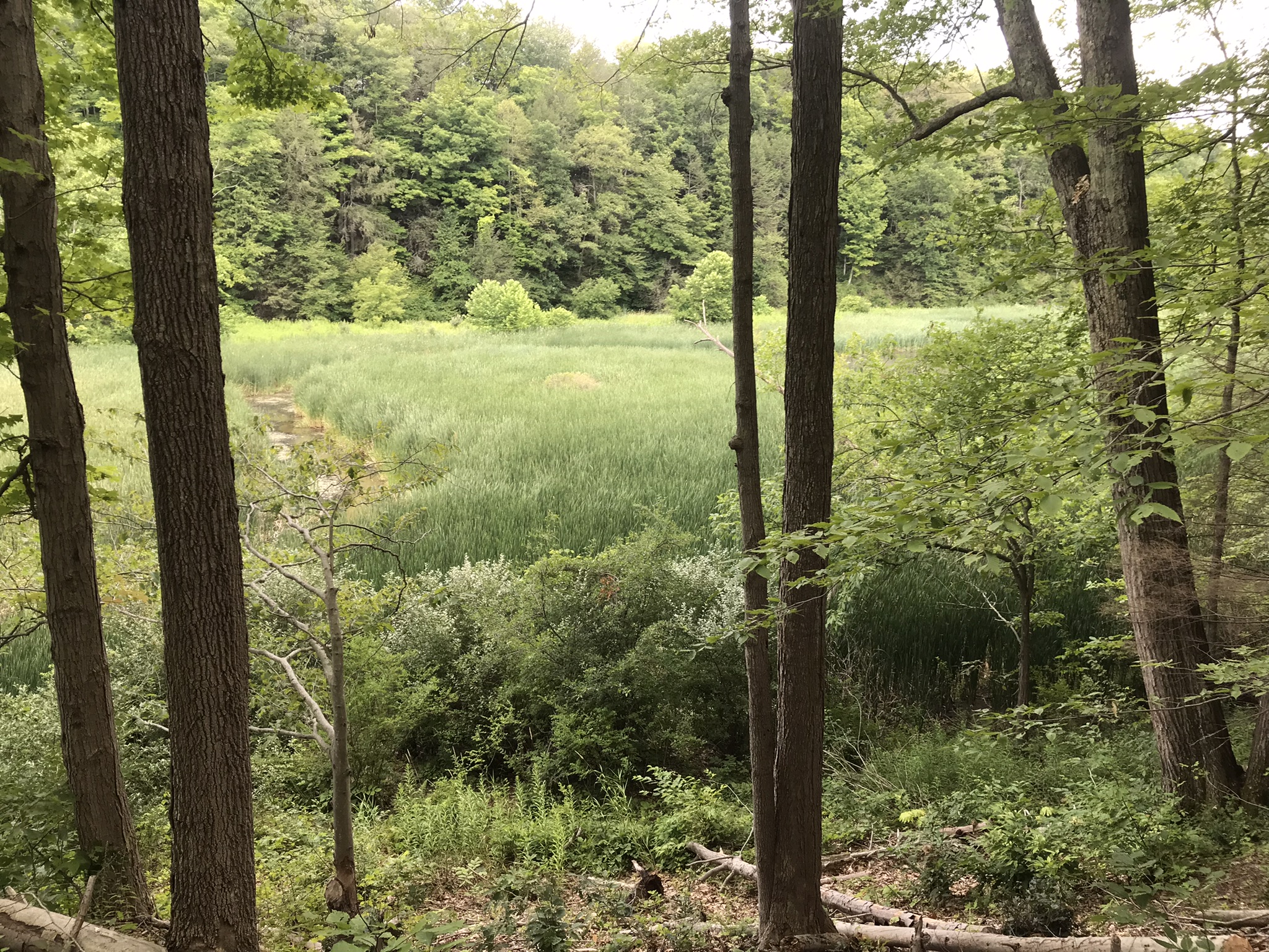
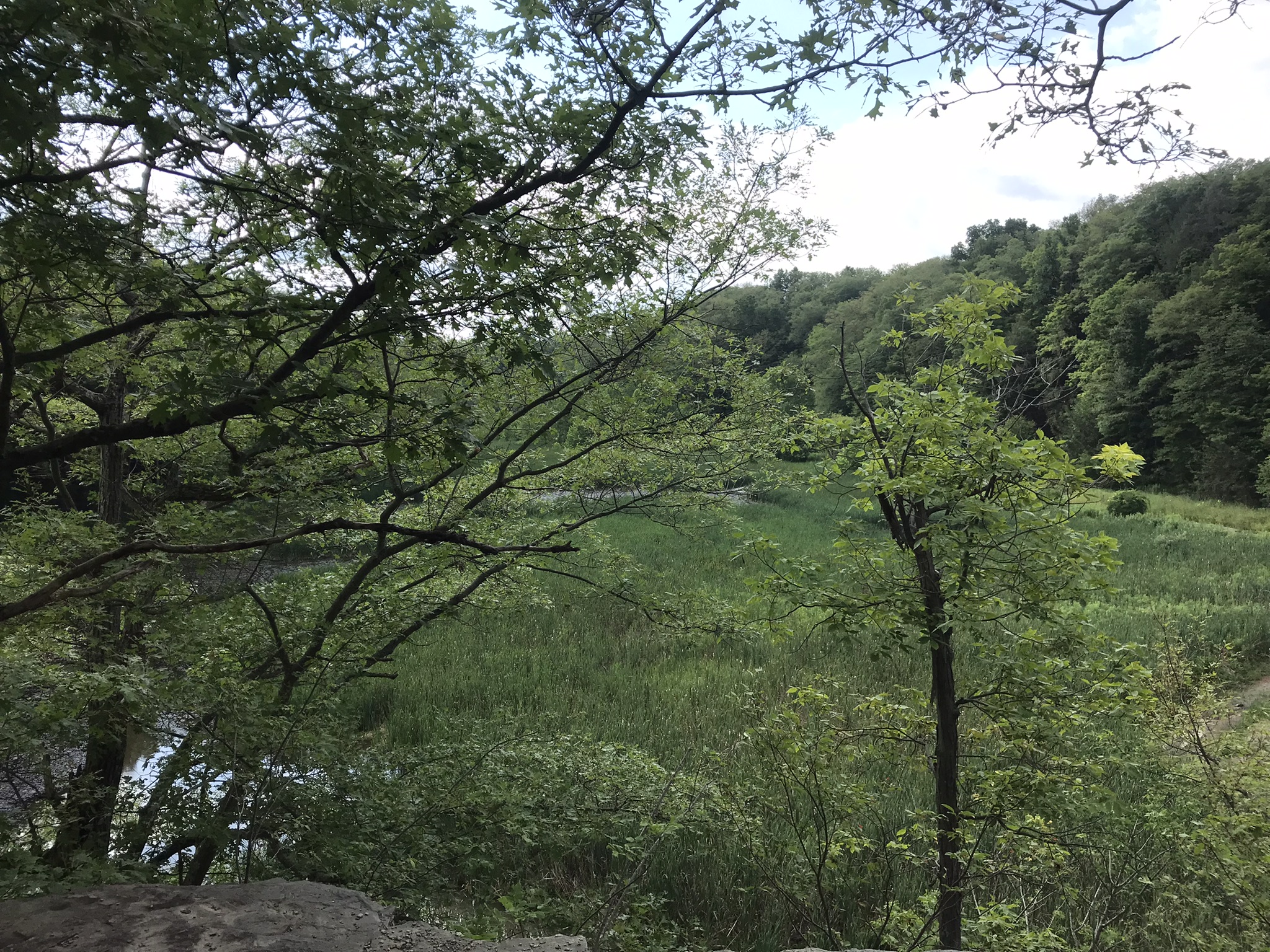
A marvelous forest grows on talus from the high gorge walls.

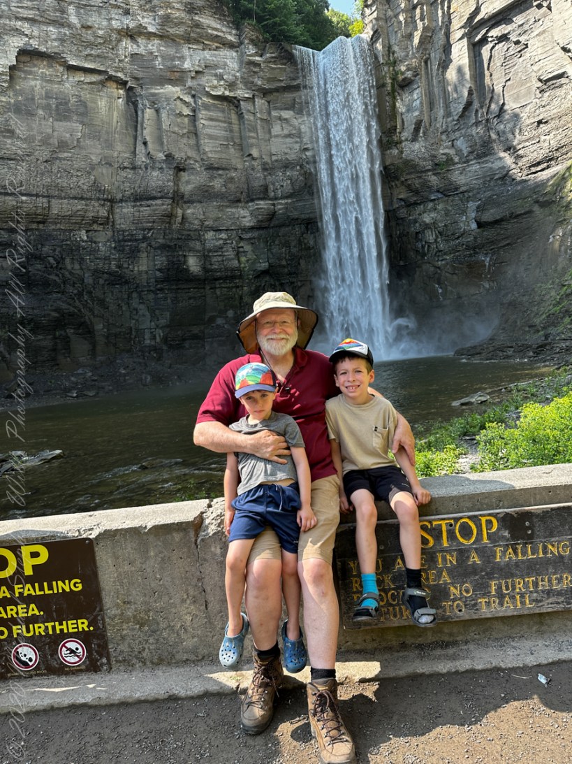
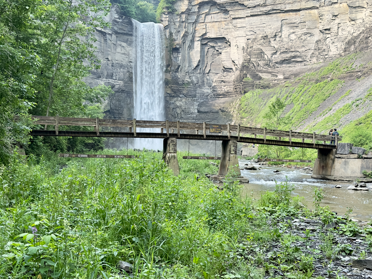
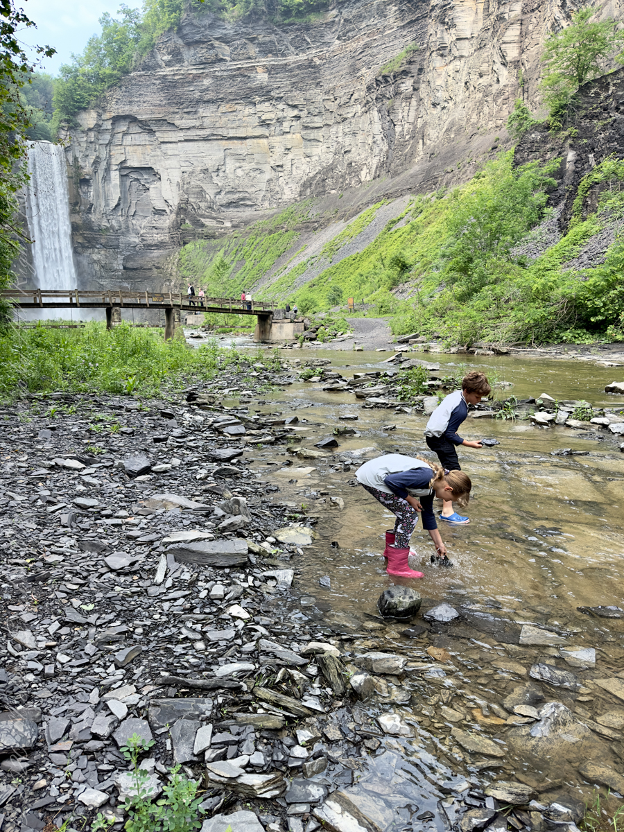
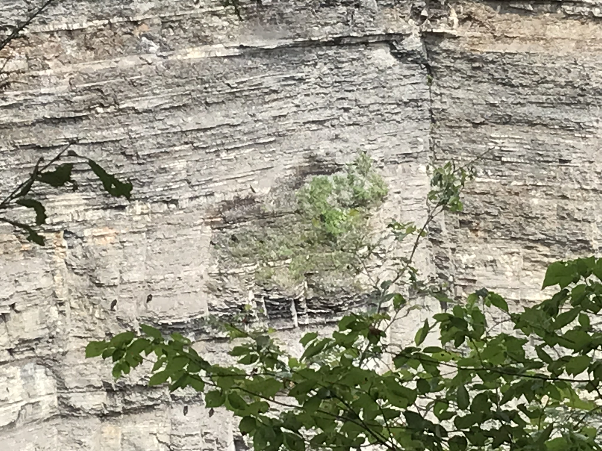
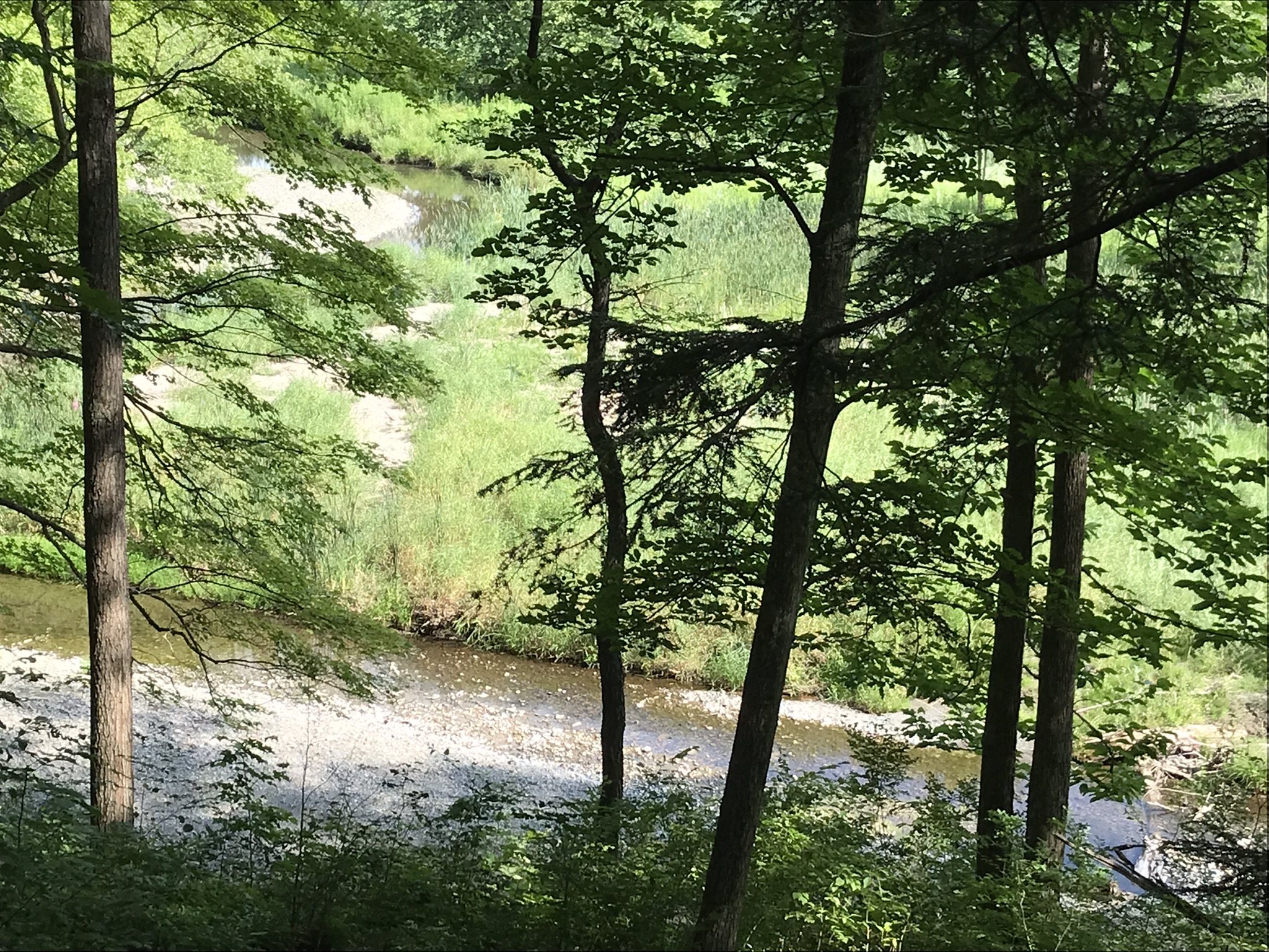
A sign on a disused pier warns waders to leave the creek bed. Ahead the gorge walls tower above the creek. Rocks dislodge and crash down unexpectedly, crushing foolish waders. It is appalling to see, in warmer months, people walking below those cliffs gathering the fallen rocks to make delicately balanced cairns.

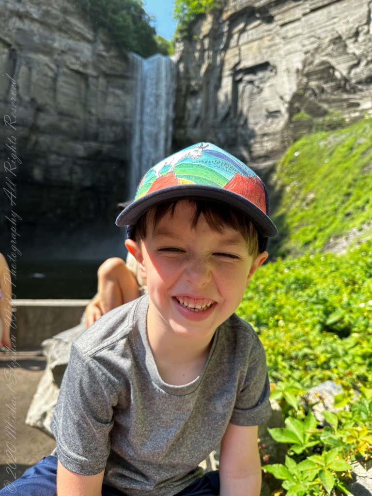
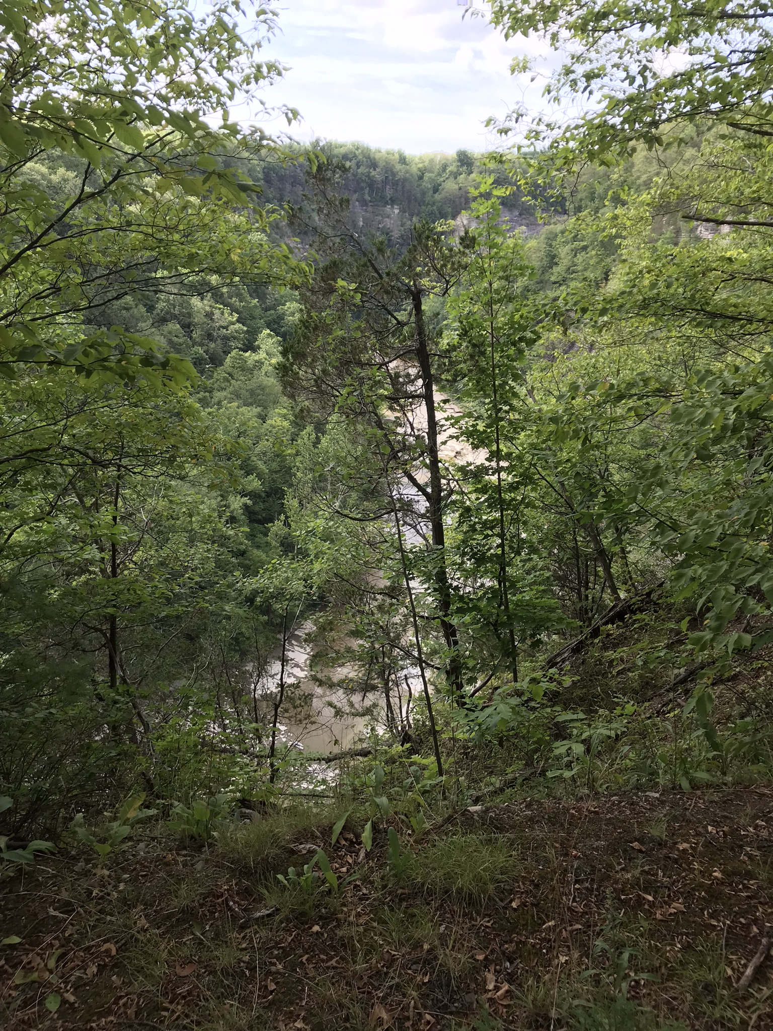
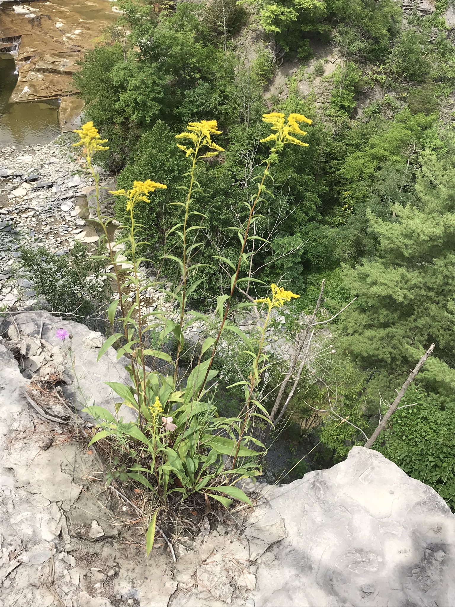
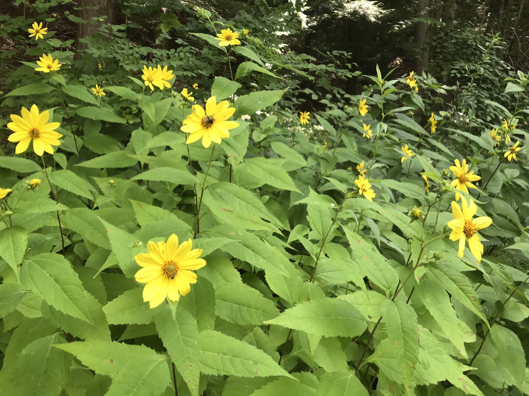
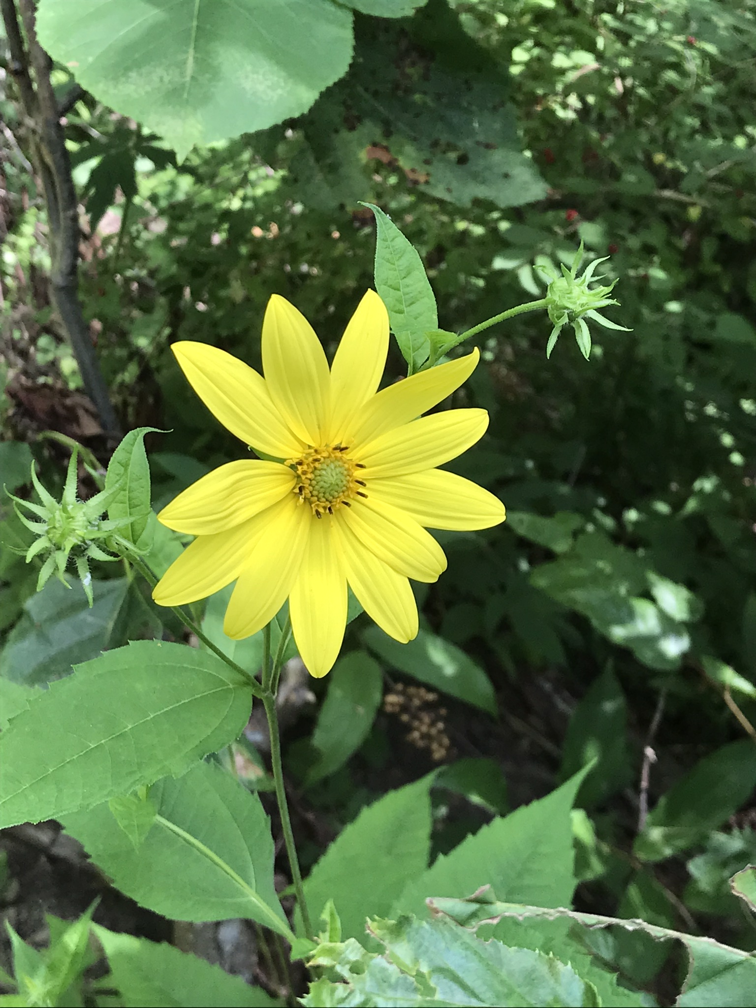
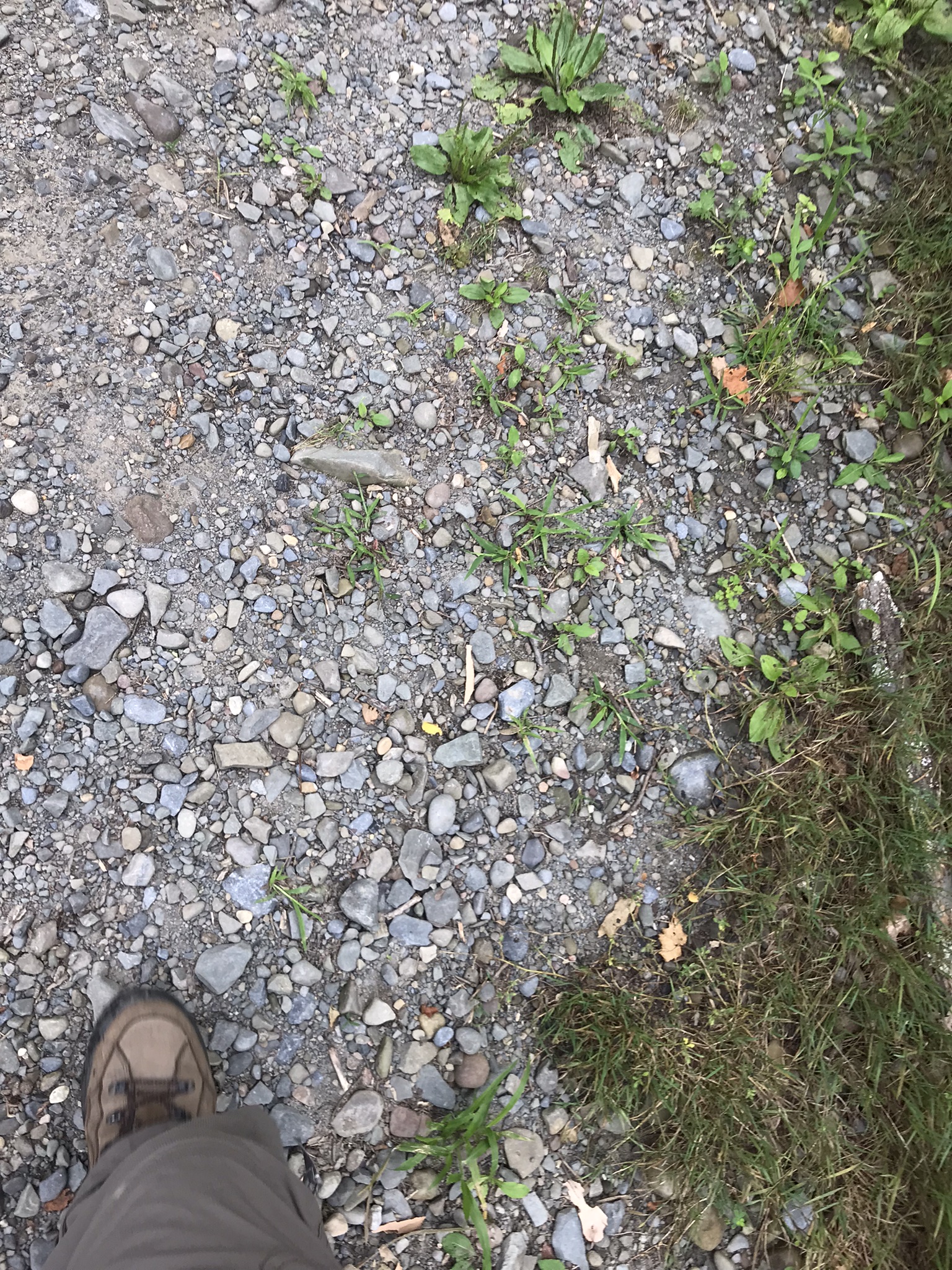
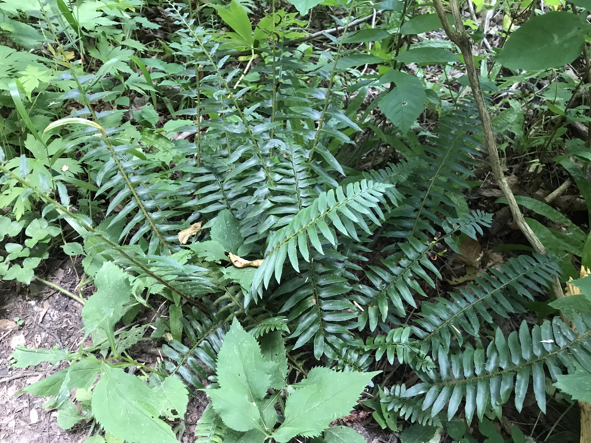
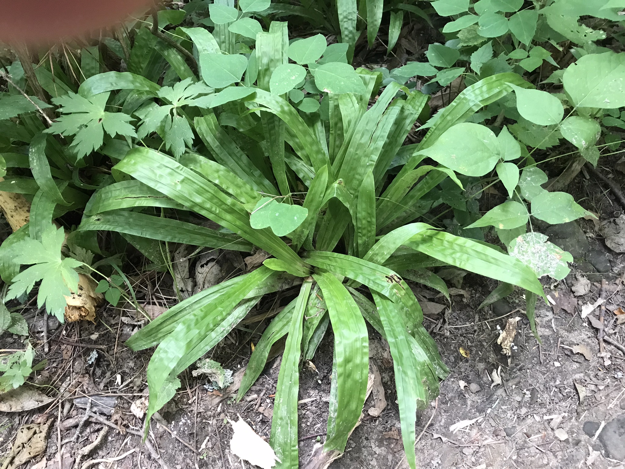
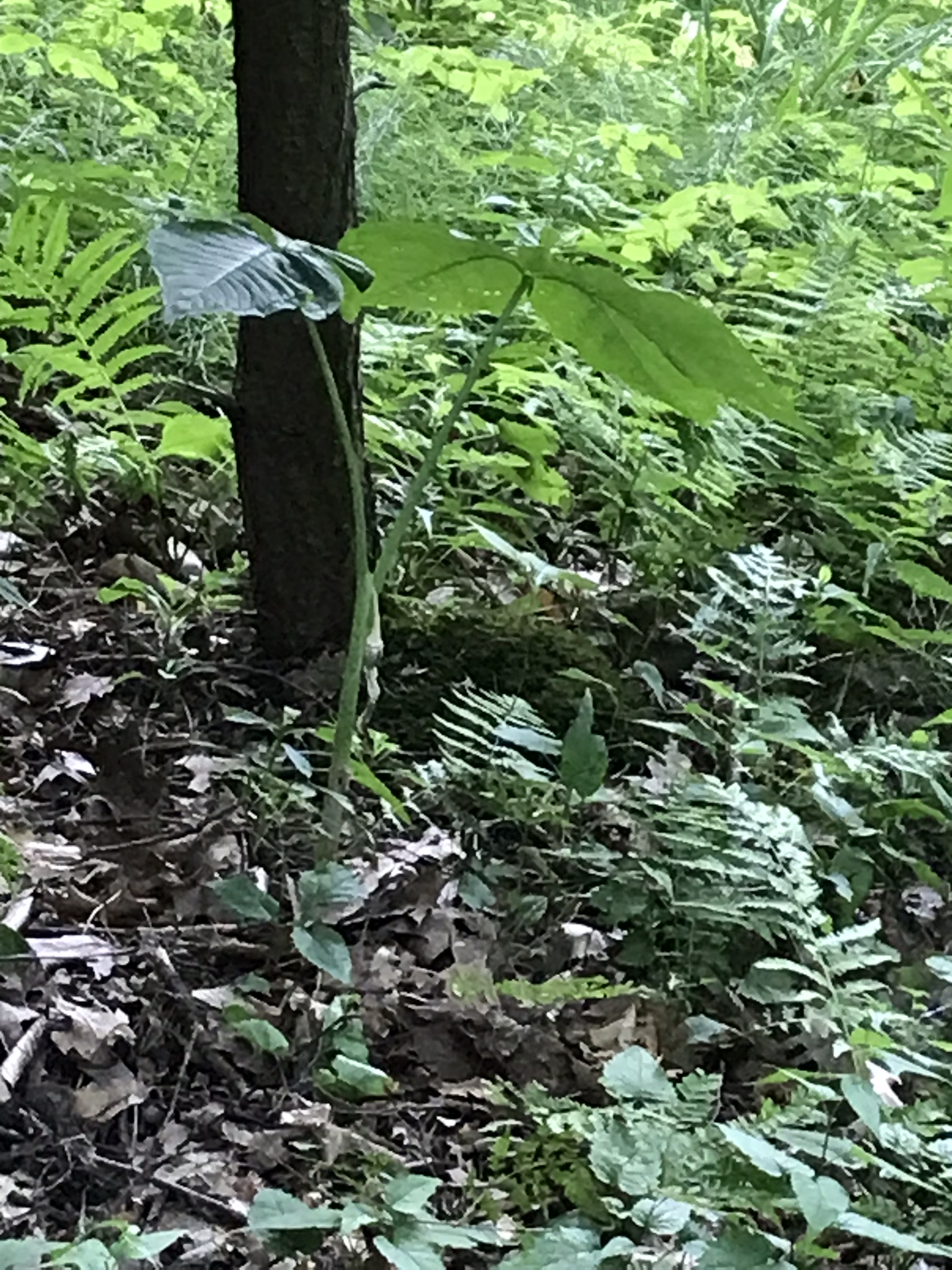
Three Summer Hikes
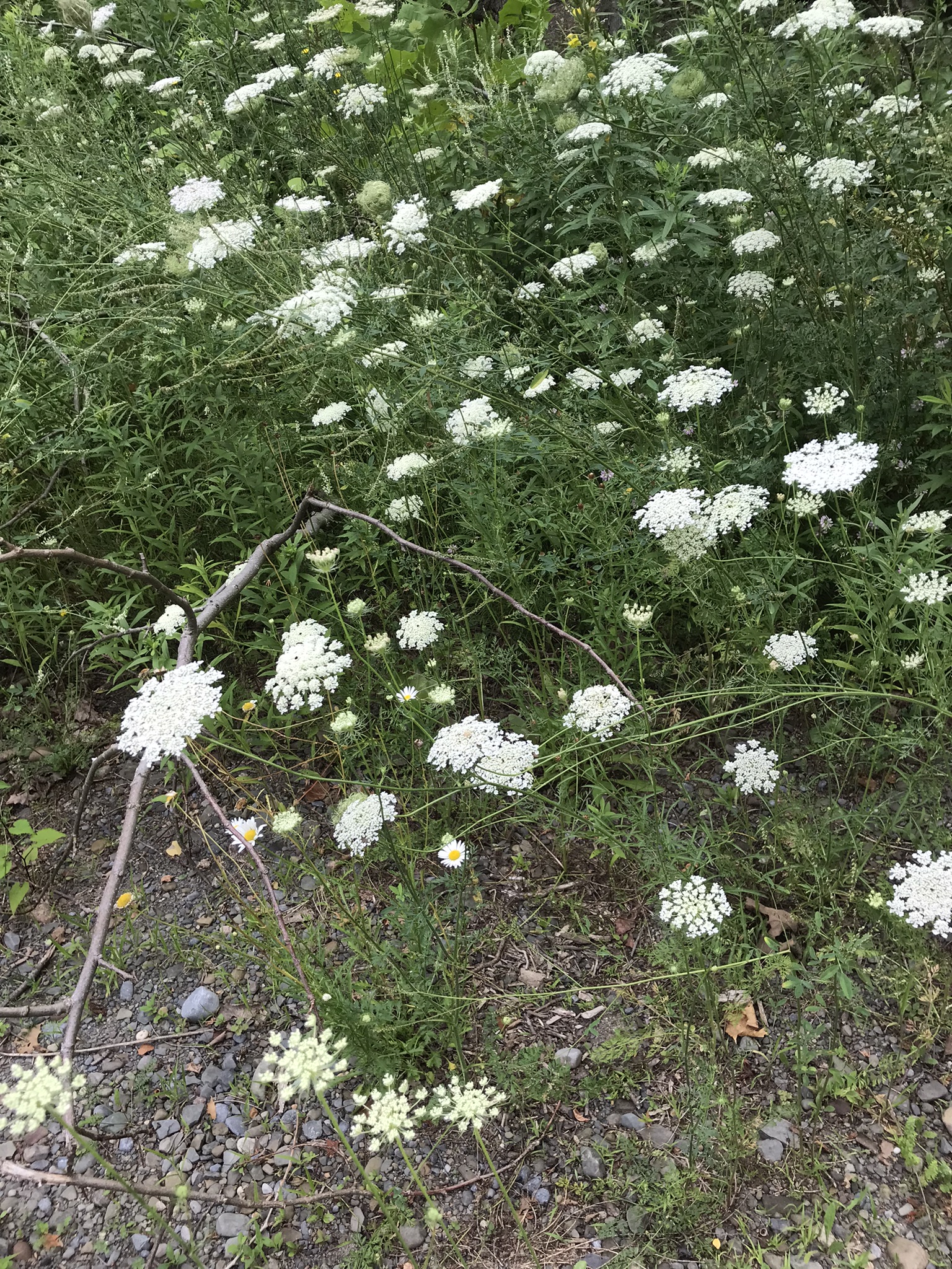
“Out in the meadow, I picked a wild sunflower, and as I looked into its golden heart, such a wave of homesickness came over me that I almost wept. I wanted Mother, with her gentle voice and quiet firmness; I longed to hear Father’s jolly songs and to see his twinkling blue eyes; I was lonesome for the sister with whom I used to play in the meadow picking daisies and wild sunflowers.”
from “Laura Ingalls Wilder, Farm Journalist, Writings from the Ozarks” edited by Stephen W. Hines”
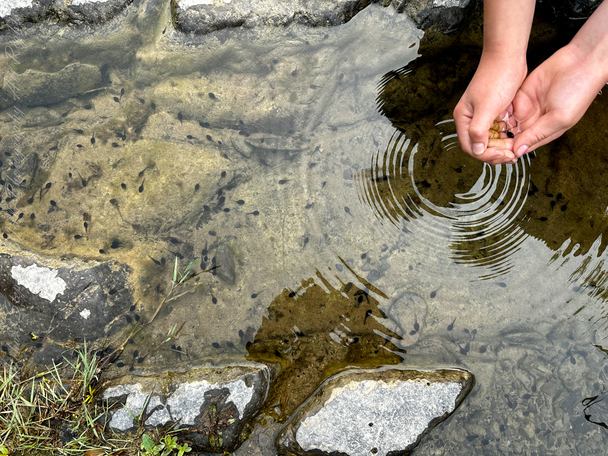
A quiet moment……
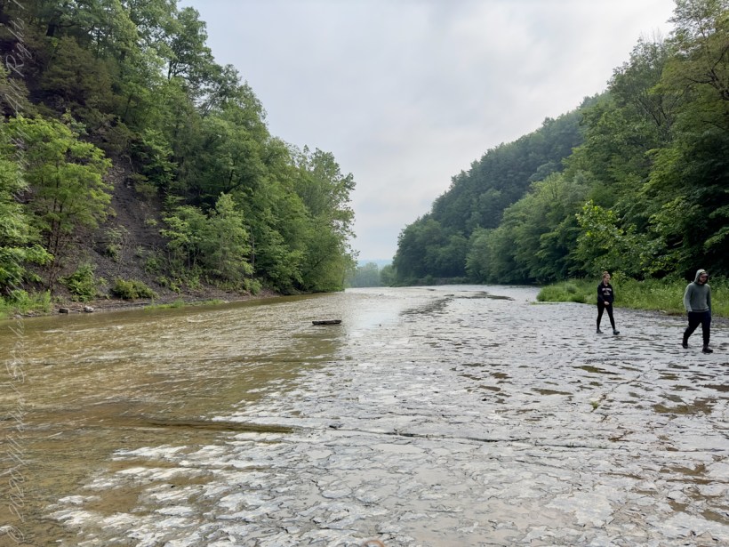
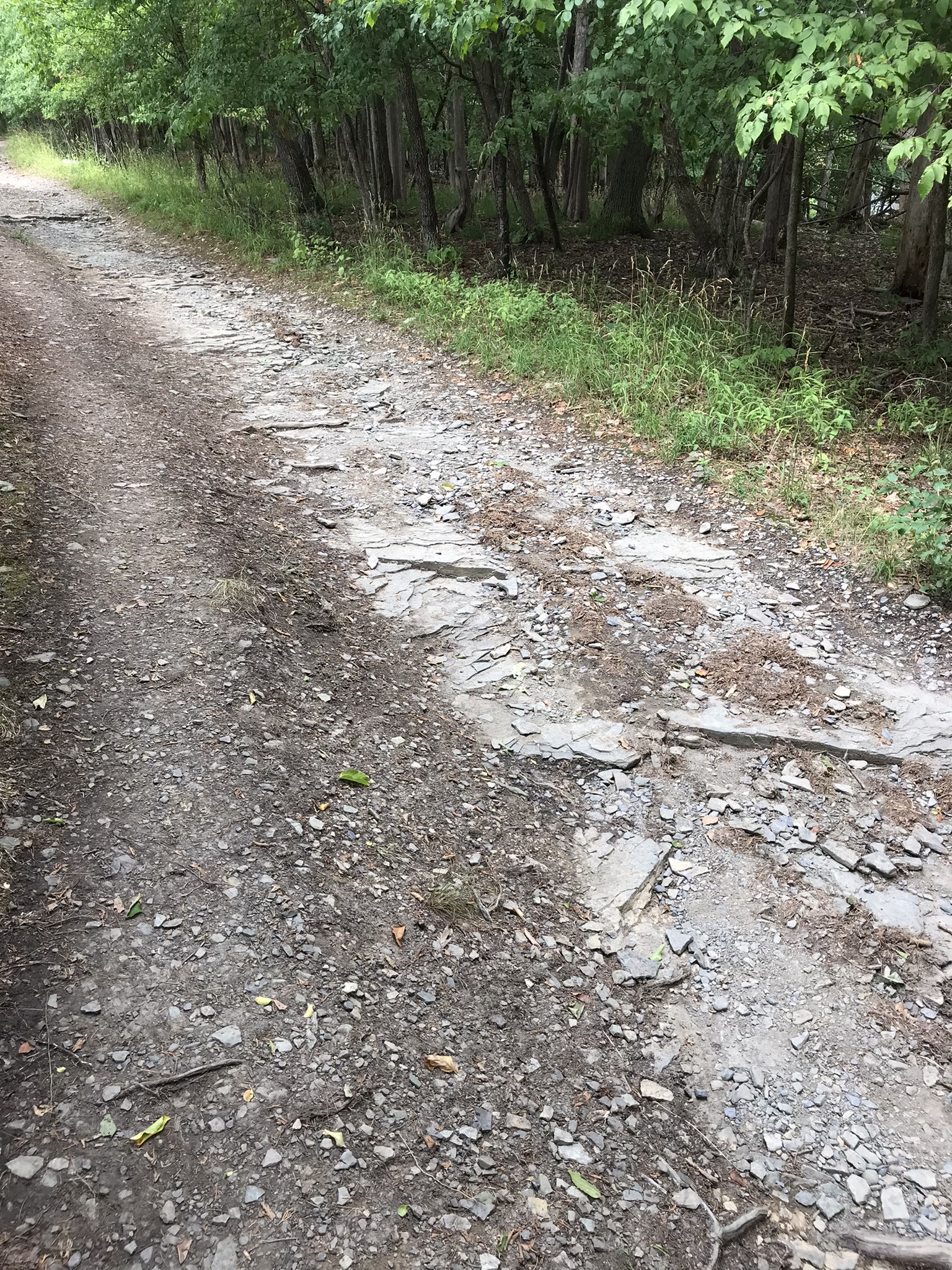
a gorge walk
Walking around Taughannock Falls New York State Park on the solstice of 2019 starting from the Black Diamond trail head on Jackson Road, down the South Rim trail, up the North Rim Trail. We had a great deal of rain this week and the water filled the falls the full channel width.
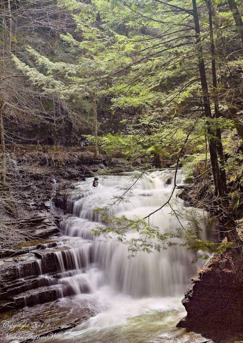
The header photograph is a waterfall of Fillmore Glen, also in the Finger Lakes.
For a full screen view, click on the UTube icon, lower right of the video panel. The resolution is not very good so I also posted the source videos.
The movie is from the following videos and photos from my IPhone. The quality is better than the compilation video. I uploaded the following videos directly to WordPress. I was not able to get the “full view” icon to work on my browser. Enjoy

A turkey vulture soars by towards the end of the following.

A Friday Evening Stroll through a February Thaw
Pam and I were drawn outside the day after Valentine’s a bit of sun, an unreliable warm breeze, a promise of exercise. Our expectations were disappointed for all but the last at the foot of the Taughannock Falls gorge trail.
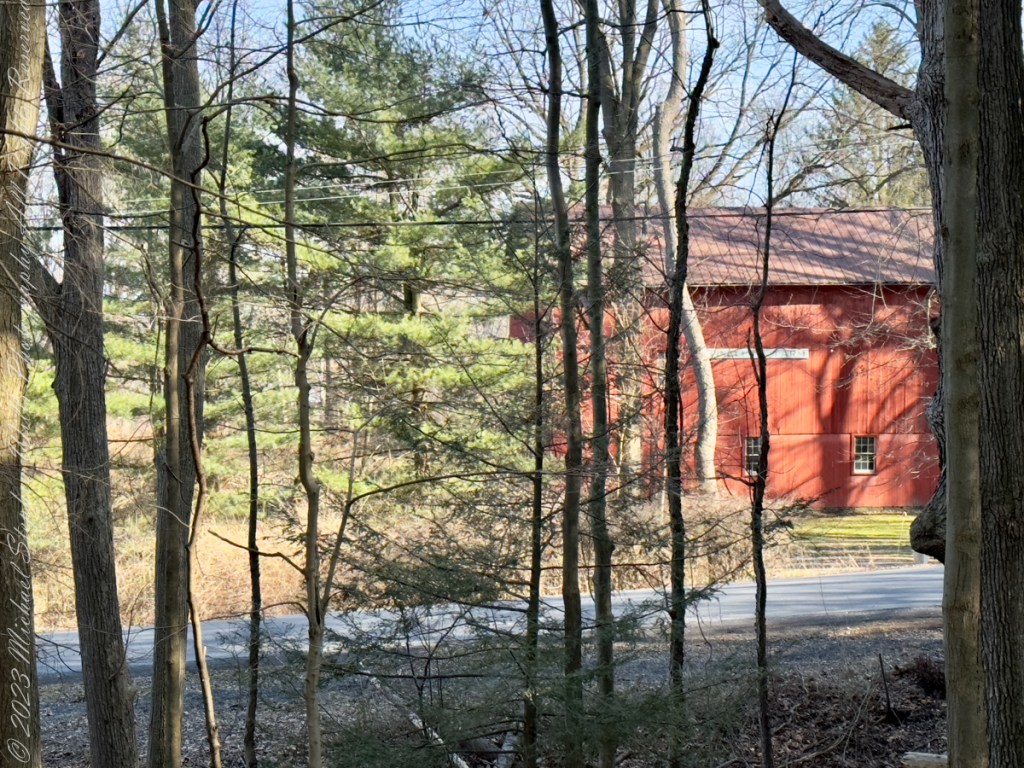
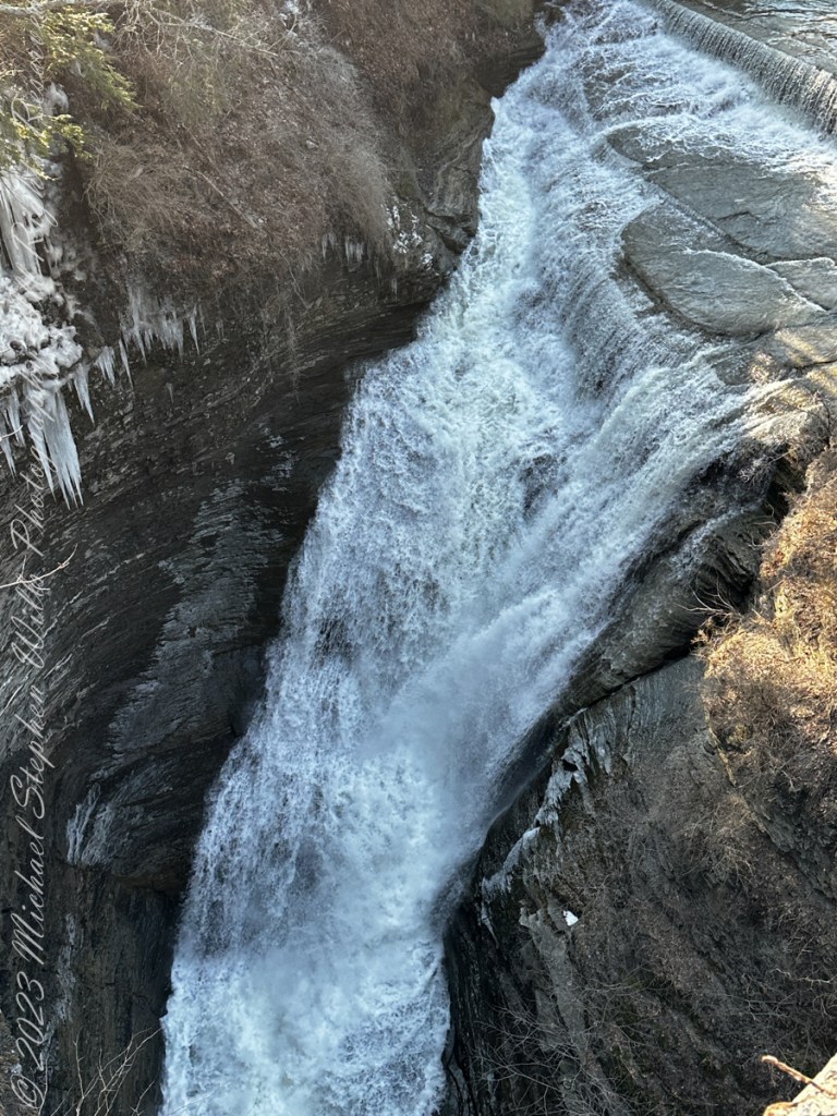
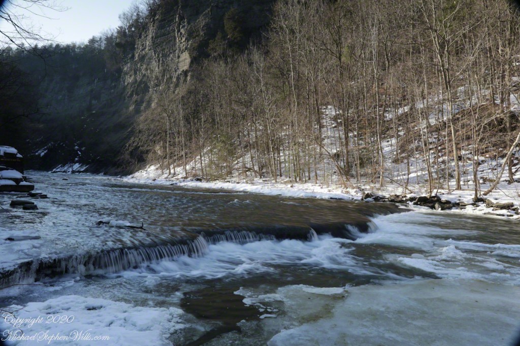
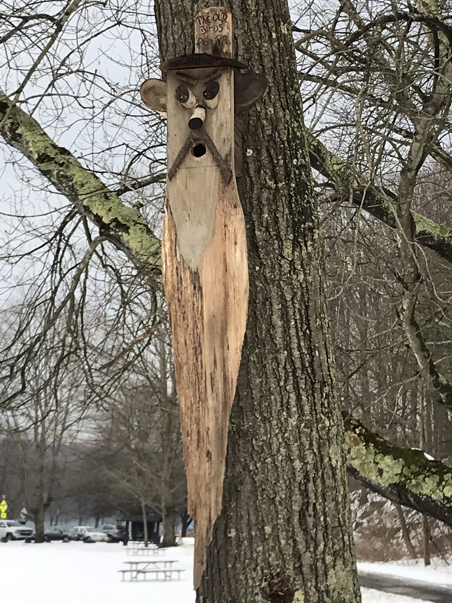
We had a reminder mid-February marks the start of avian mating behavior with this addition to the view from Taughannock Creek, the first large waterfall. For the cold, drizzly excursion I chose the IPhone, in a waterproof case, for the images. The fanicful birdhouse inscription reads “The Old Birds from Pa.”
The winding gorge takes a general east, southeasterly direction. Where the sun cannot reach the snow was reduced to a treacherous slushy ice mix more nasty than dangerous.
Of all the area hiking experiences, Taughannock Gorge Trail is the only one available year round. The gorge is wide with enough room for the footpath to avoid the cliff edge. Today, there were places were ice formations were throwing large ice chunks down the slope. The park ranges place tree trunks along the cliff base, with warning signs to stay away. Still, there are visitors who stray too close with fatal outcomes reported by local news.
Pam was fascinated by the appearance of snow and ice accumulated on the talus, here seen from the Taughannock Falls viewing bridge.

You can just pick out the viewing bridge in the Falls Overlook video.

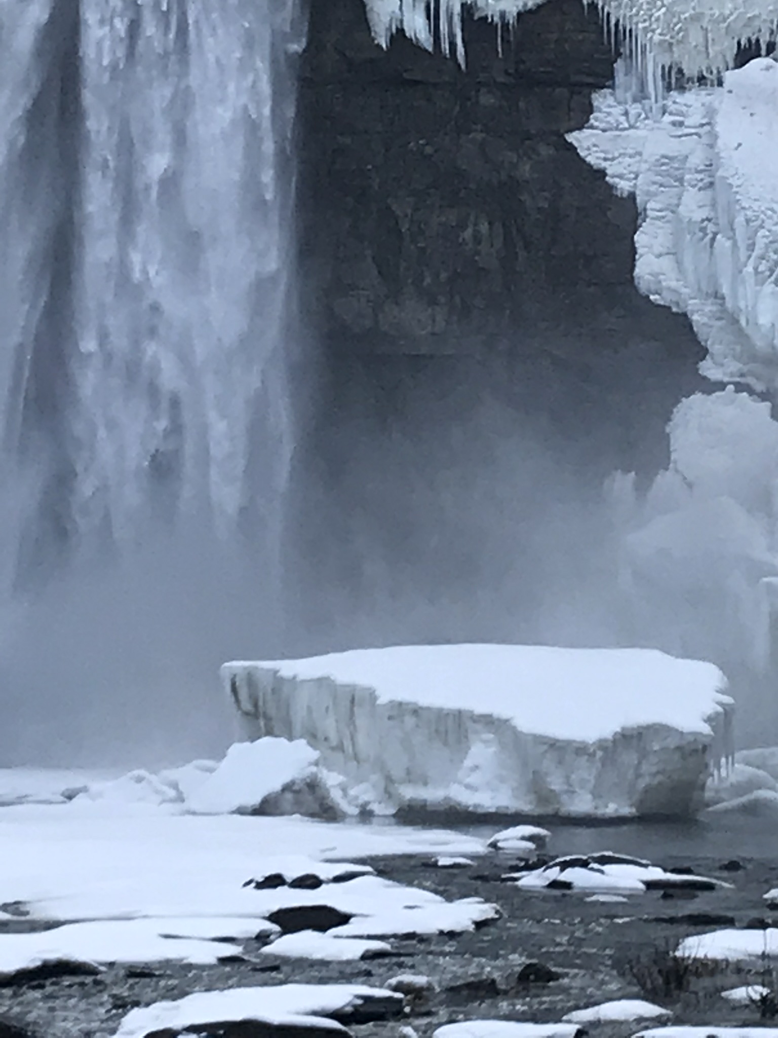
Taughannock Falls bound by ice is a most dramatic sight. I need to post photographs from a 2005 visit during an especially frigid February. Here, the falls have thrown off the ice, leaving this house-size chunk.
The surrounding gorge walls are continually frost coated by the mist.
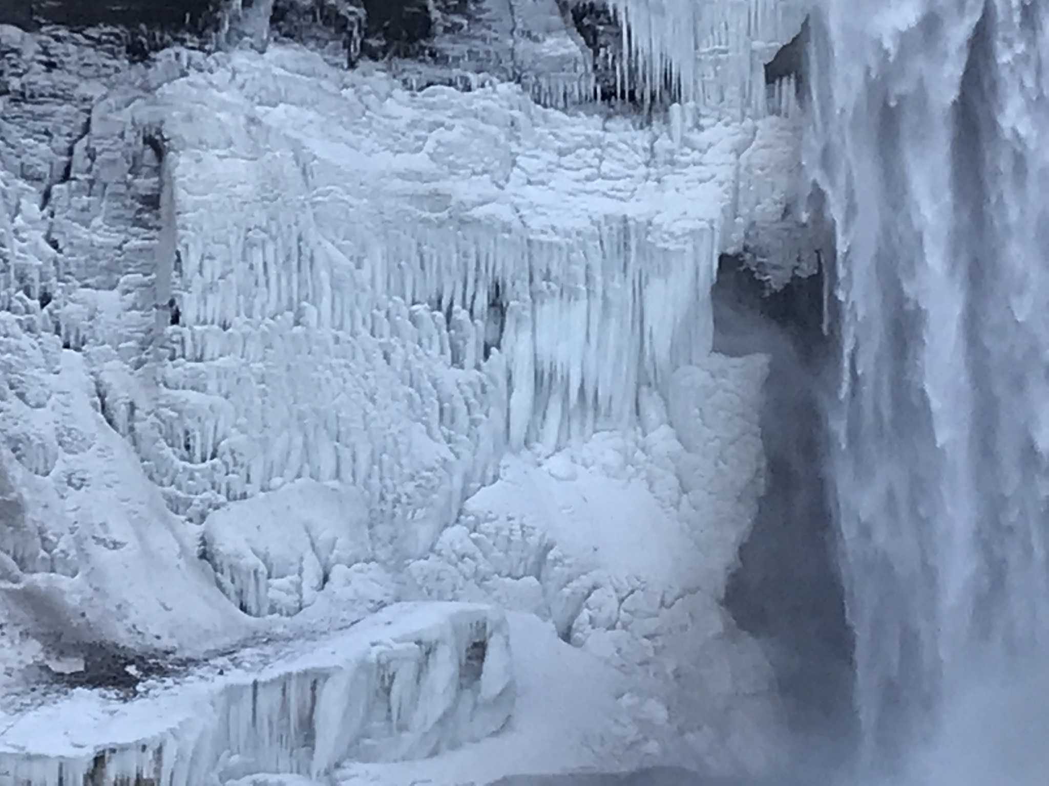
In more clement seasons the Gorge Trail ends much closer to the falls. Today, it was closed as, during winter and especially thaws, blocks of the sandstone cap break away to fall with great force across that part of the trail. This viewing area is visible in the Falls Overlook video.

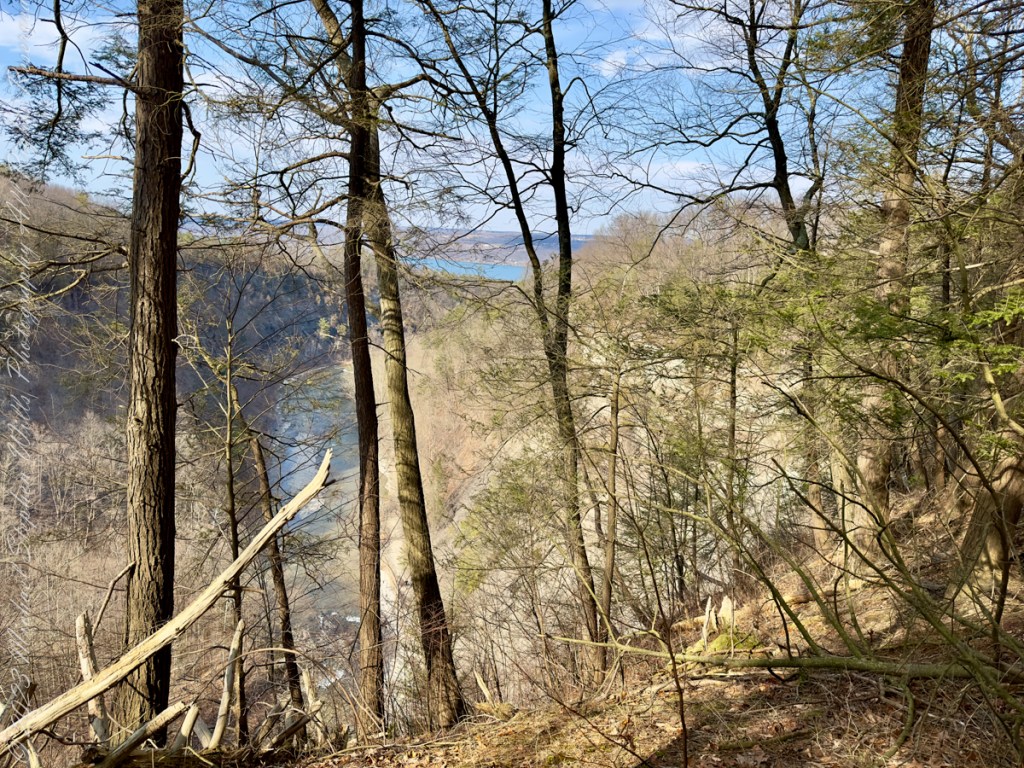
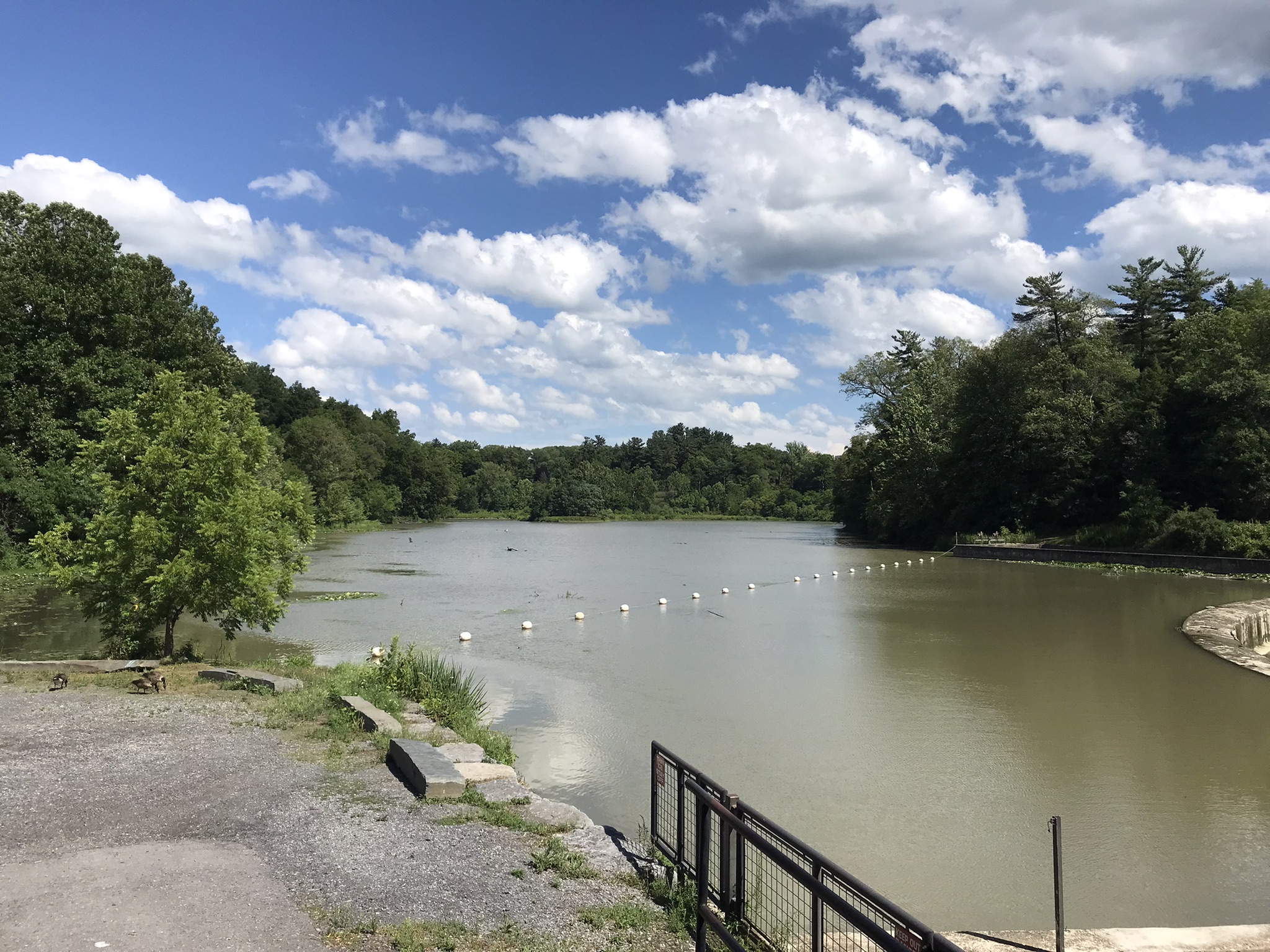
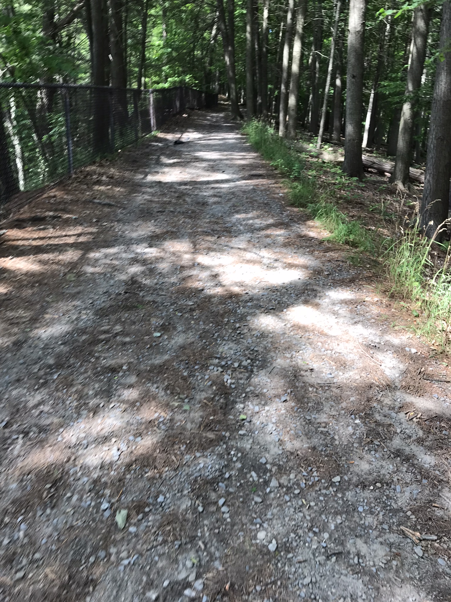
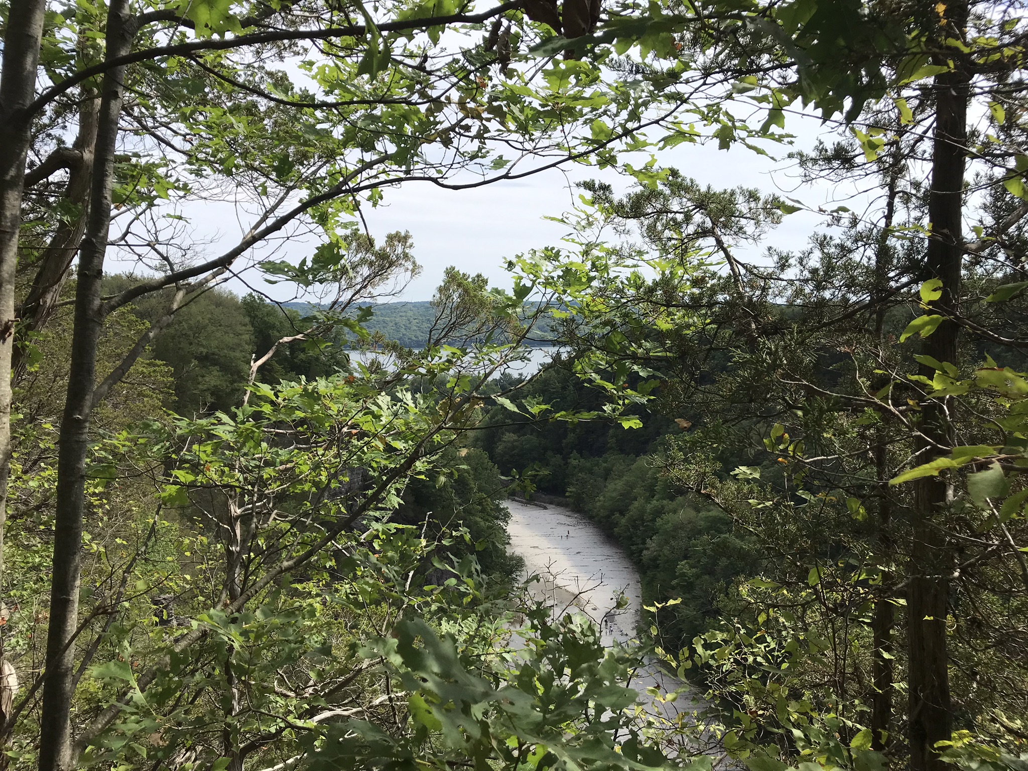
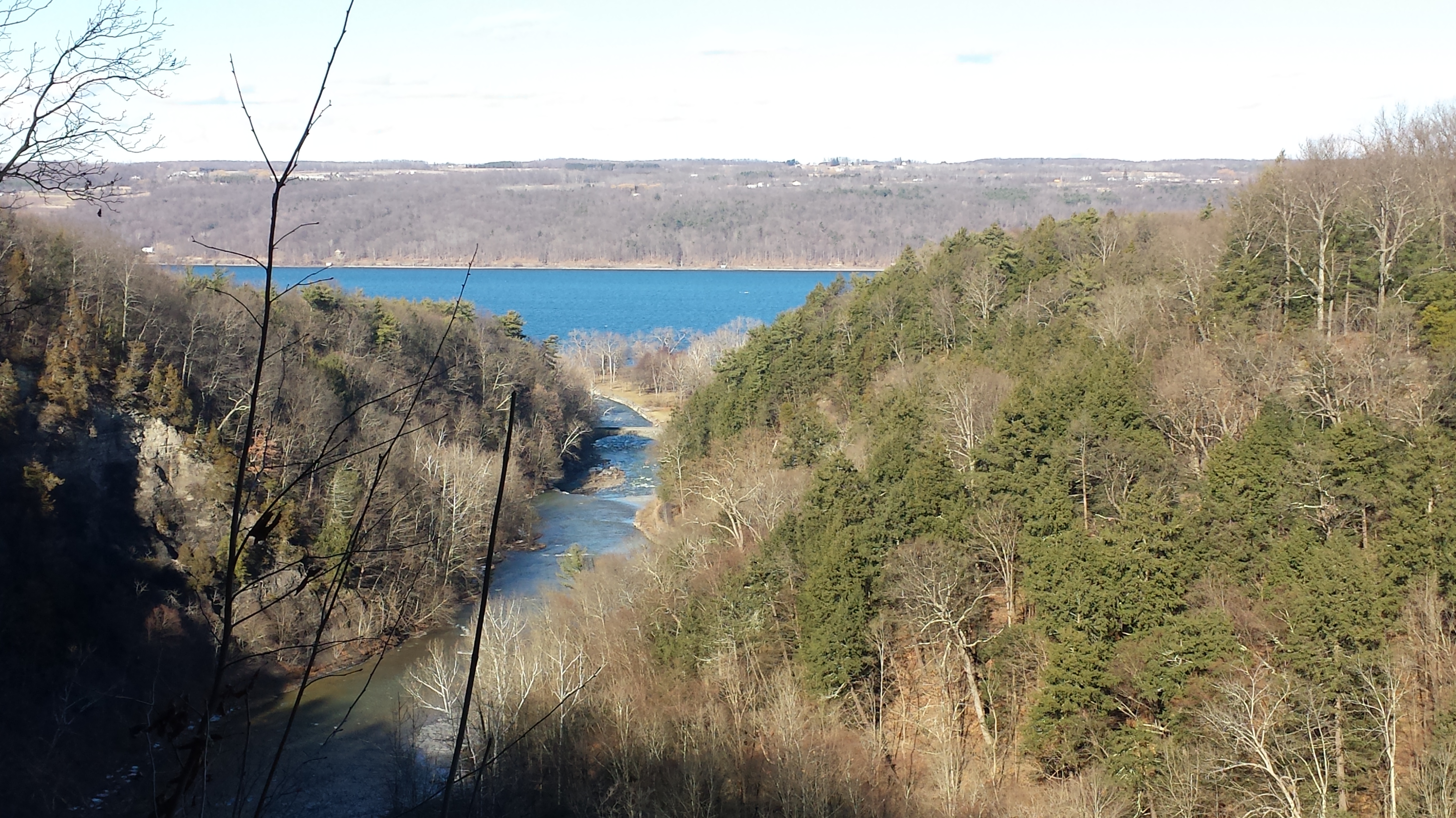
Yesterday afternoon was bright, sunny enough for me to break out of the winter exercise routine for a walk around Taughannock Falls, a New York State Park 7.5 miles from the front door through farmland and small villages with views of Cayuga Lake.
The route around the gorge, following the North and South Rim trails with a side trip to the edge of Cayuga Lake is 3 miles with a modest elevation change of about 500 feet.
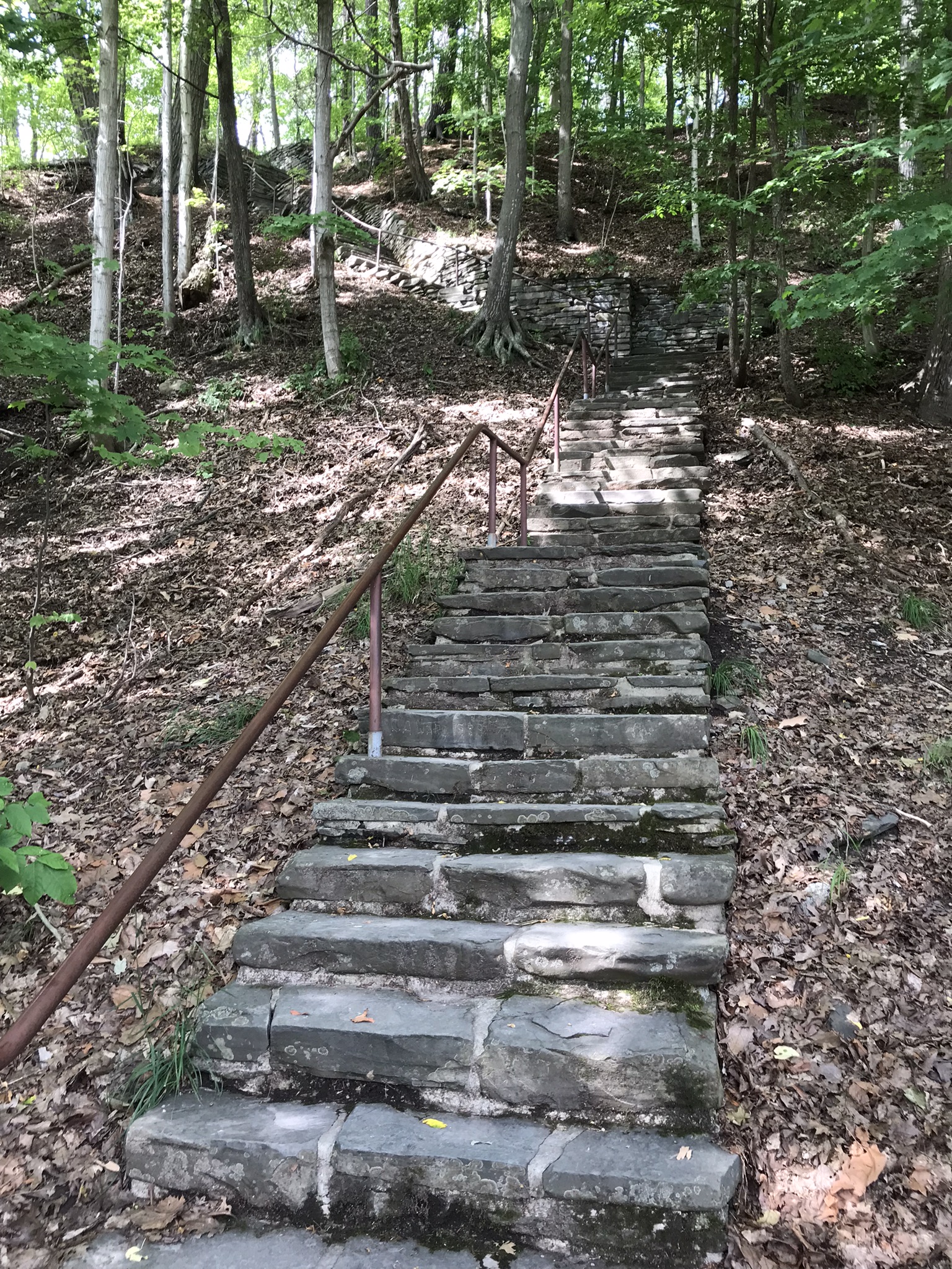
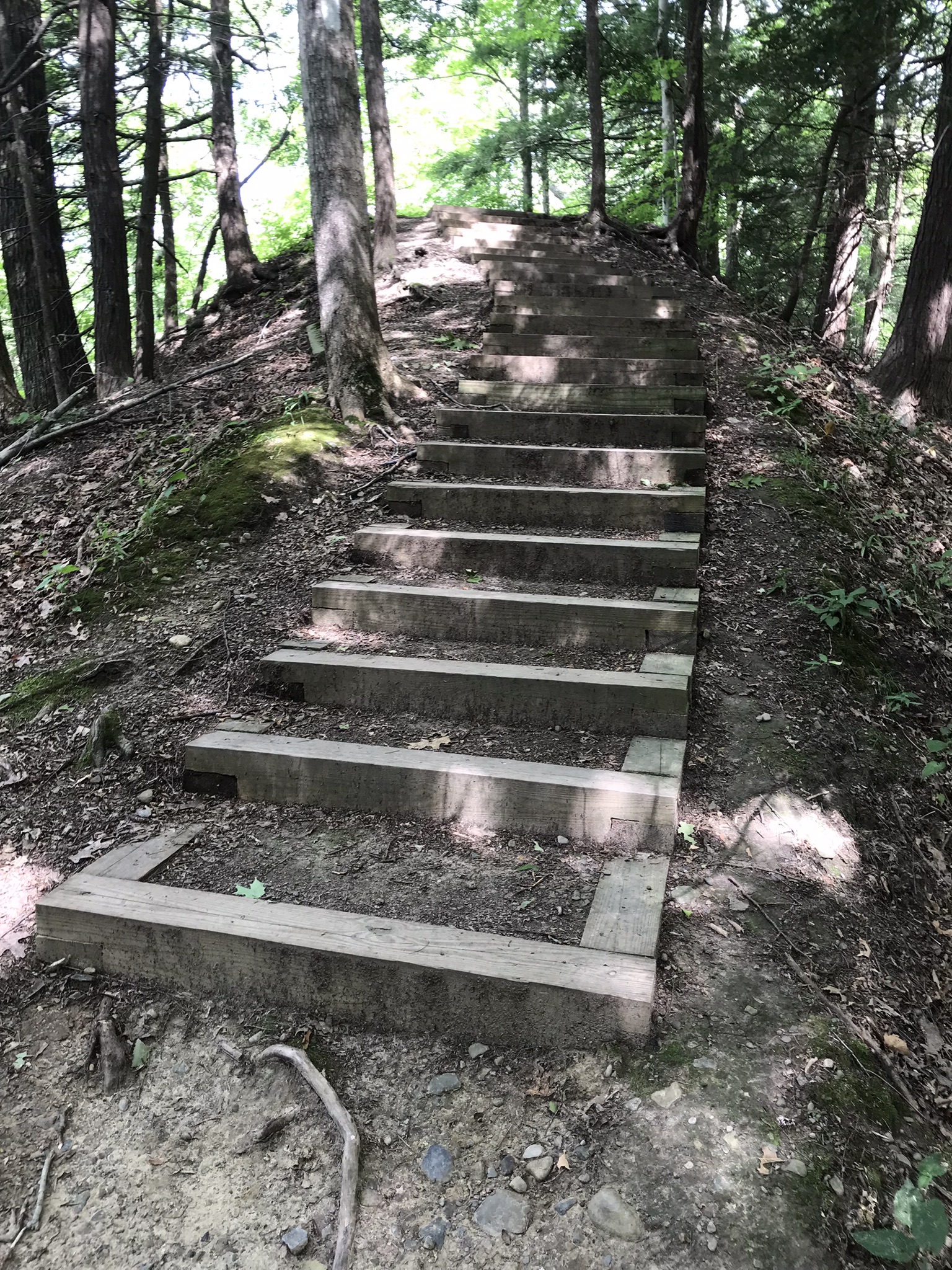
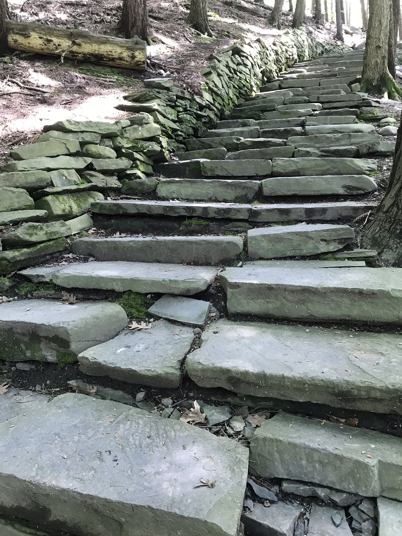
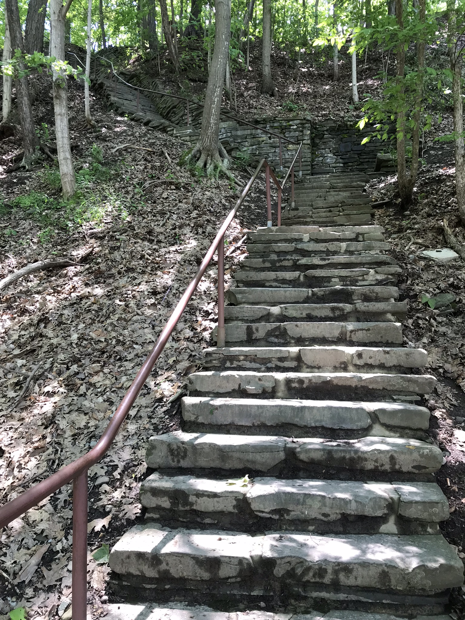
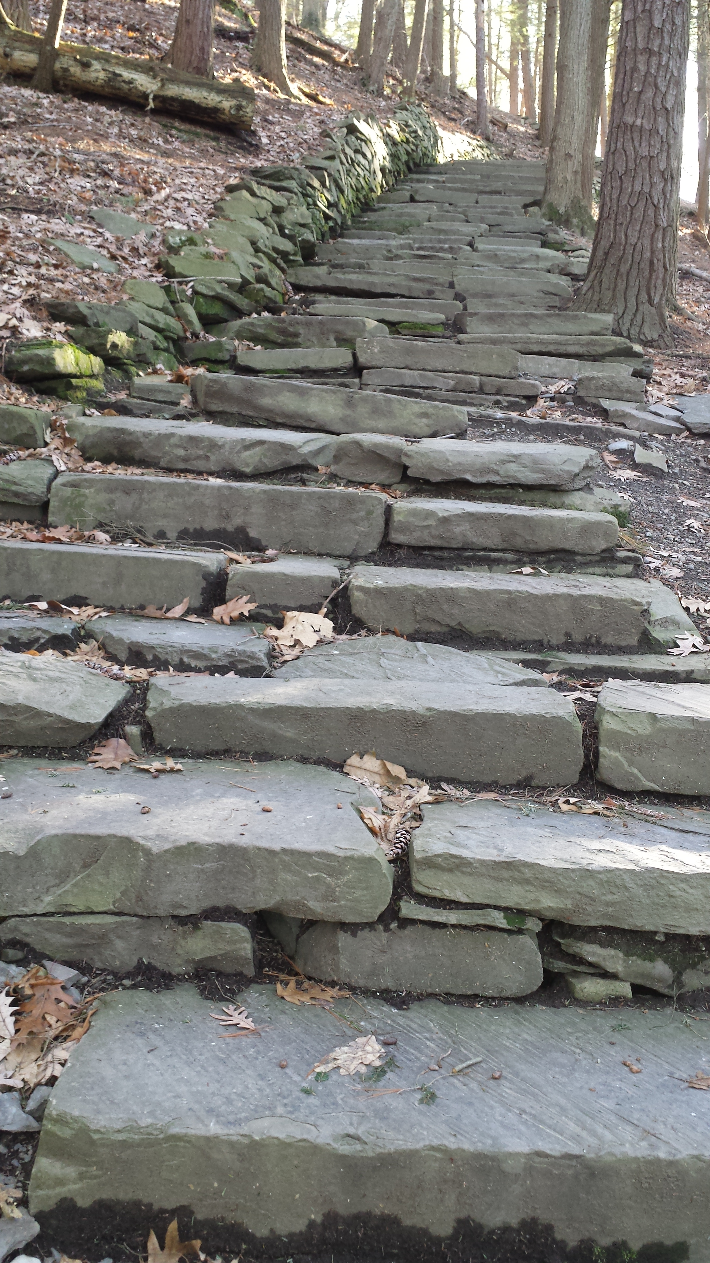
My route began at the top with a cell phone, from the Falls Overlook, there is a gradual slope, until the end where flights of steep stone steps end at the gorge floor. The steps were free of ice and snow.
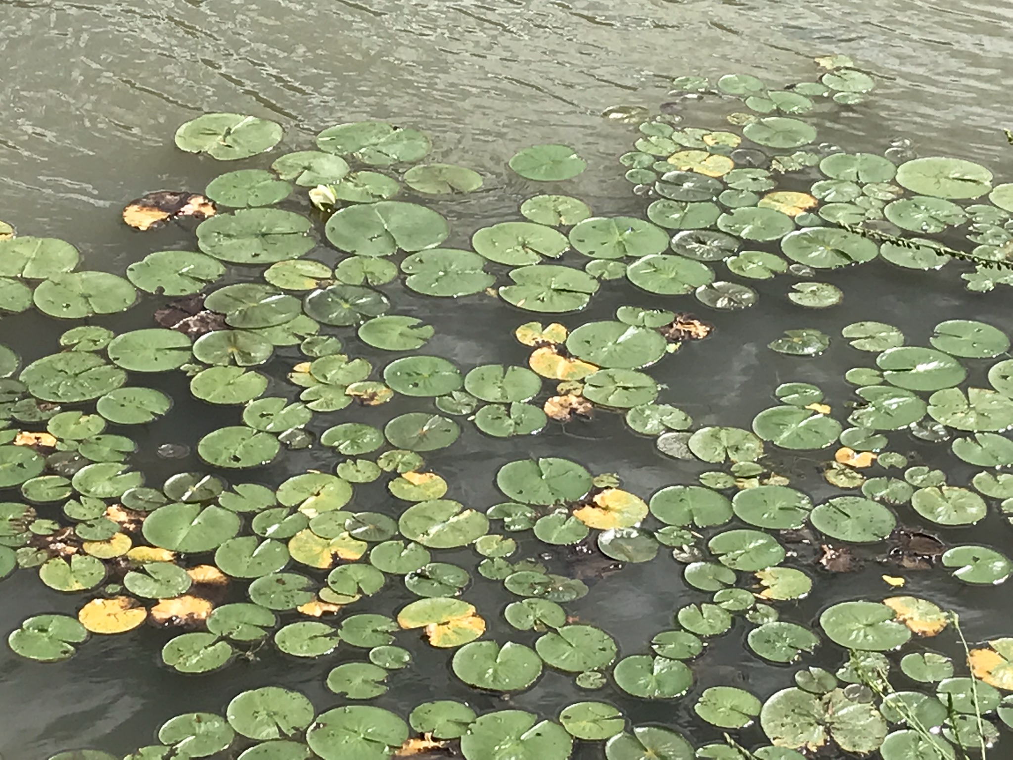
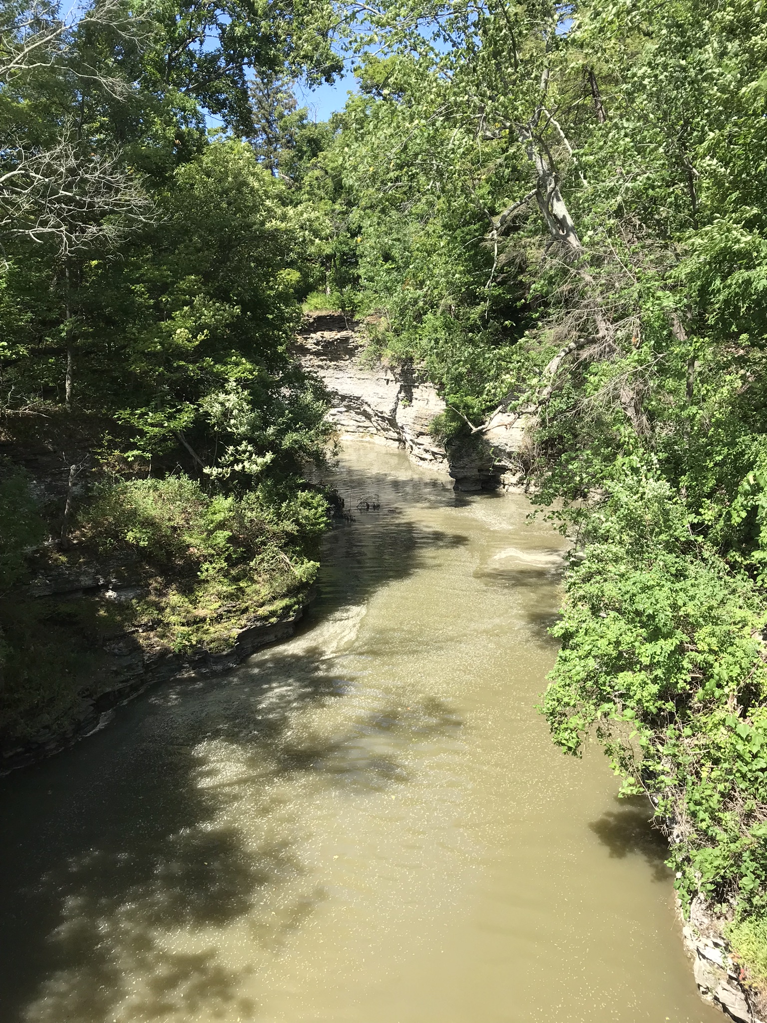
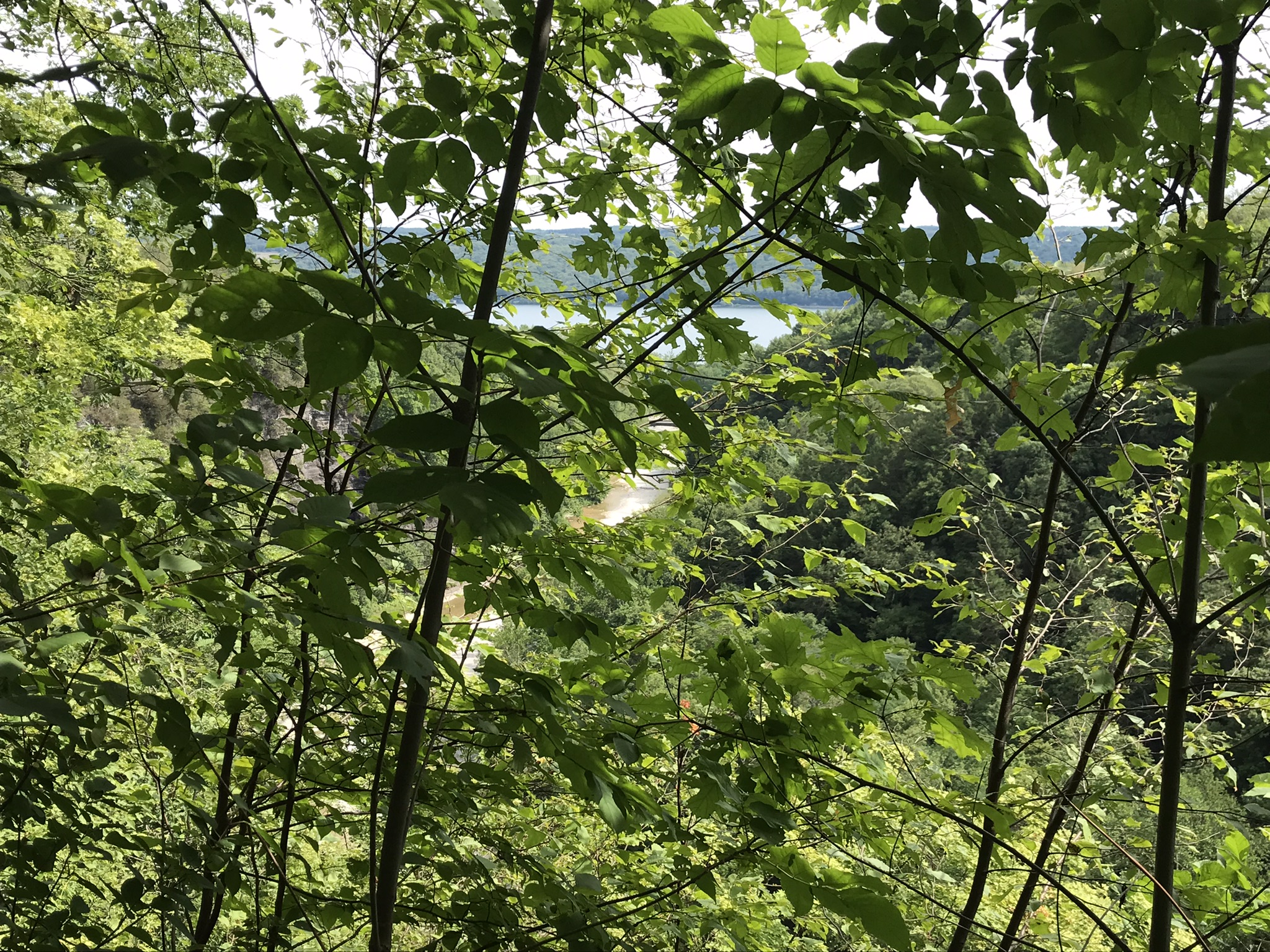
These photographs are from the cell phone. Here is the lake and a portion of the gorge. Yes, the lake is a dark blue on sunny days and is ice free this year. Another trail follows the gorge floor to below the falls, I opted out of the additional 1.5 miles today in the interest of finishing well before sunset.
Click any photograph to visit my Fine Art version of Taughannock Falls.
I have a few versions of these South Rim Trail stone steps taken at this perfect time of day, the low sun through the trees. Built in the 1930s by Roosevelt’s Civilian Conservation Corp, the steps and the entire trail are a work of art.
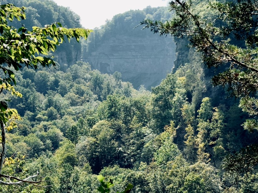
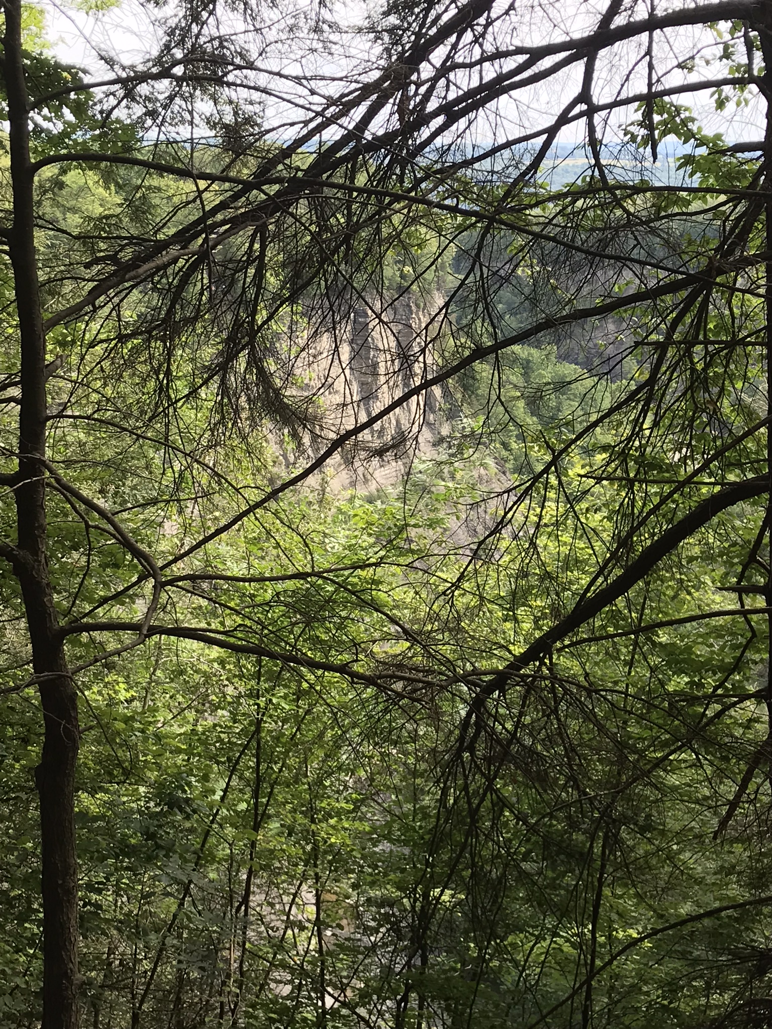
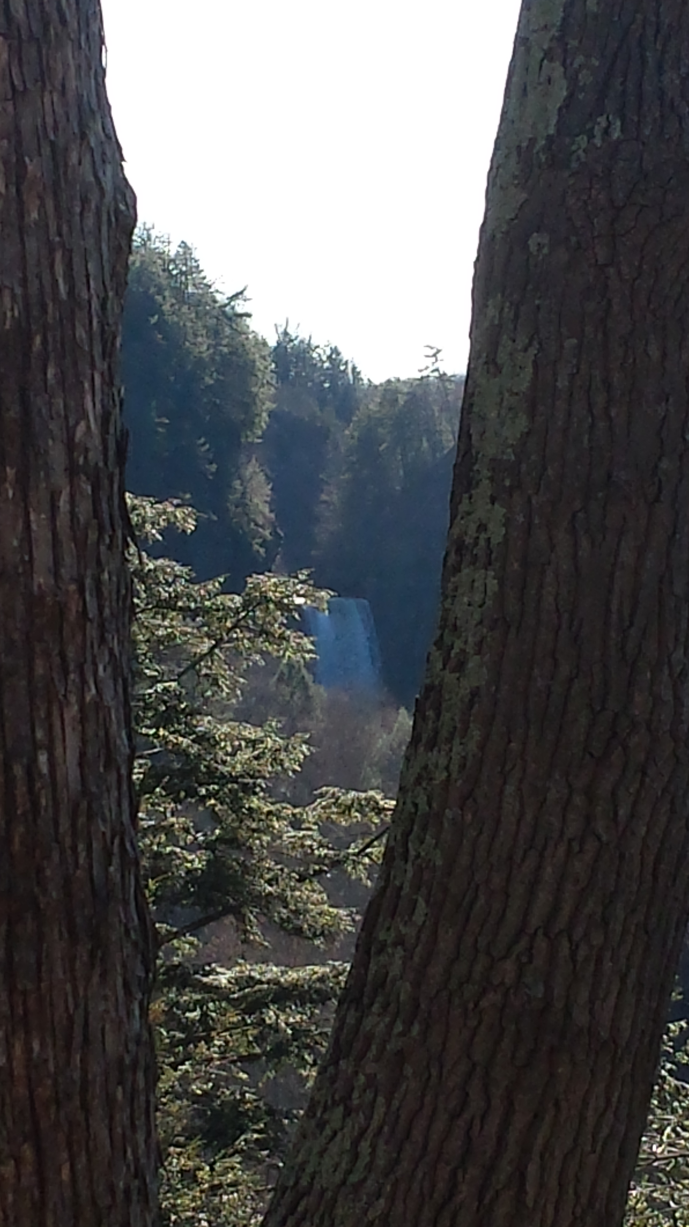
The far view of Taughannock Falls always fascinated me. I’ve never done it justice. There are several view points from the South Rim, overlooking the gorge were it bends to the south with only the upper third of the falls visible. The flow today was photogenic. I used the cell phone zoom to catch the view between the trunks of two trees.
The top of the south rim was the only ice. It is there through April some years. Here is the closest, full view of Taughannock Falls from the North Rim. It is the same view you will find in my Fine Art version of the falls.
And a cell phone video of the falls for the full effect.
Enjoy!!
