The previous post was an overview the Fulacht Fiadh associated with the Drombeg Stone Ring of County Cork, Republic of Ireland.
In this post, we explore the elements of these fascinating remnants from the late Bronze Age, over 3,000 years ago.
Click pic for a larger view, in a new tab. When using WordPress Reader, you need to open the post first.
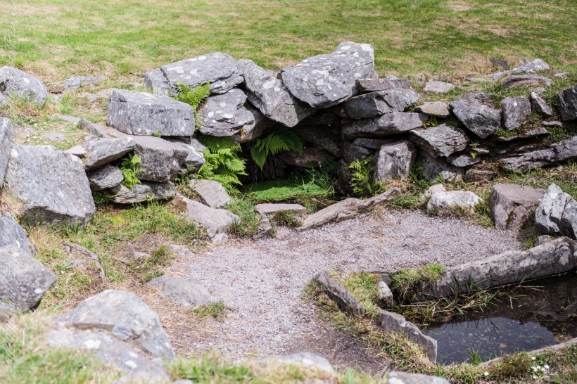
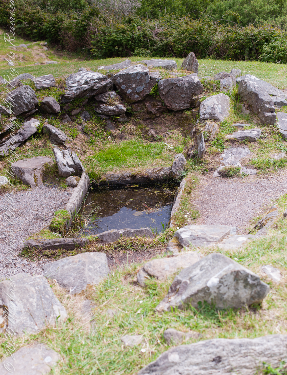
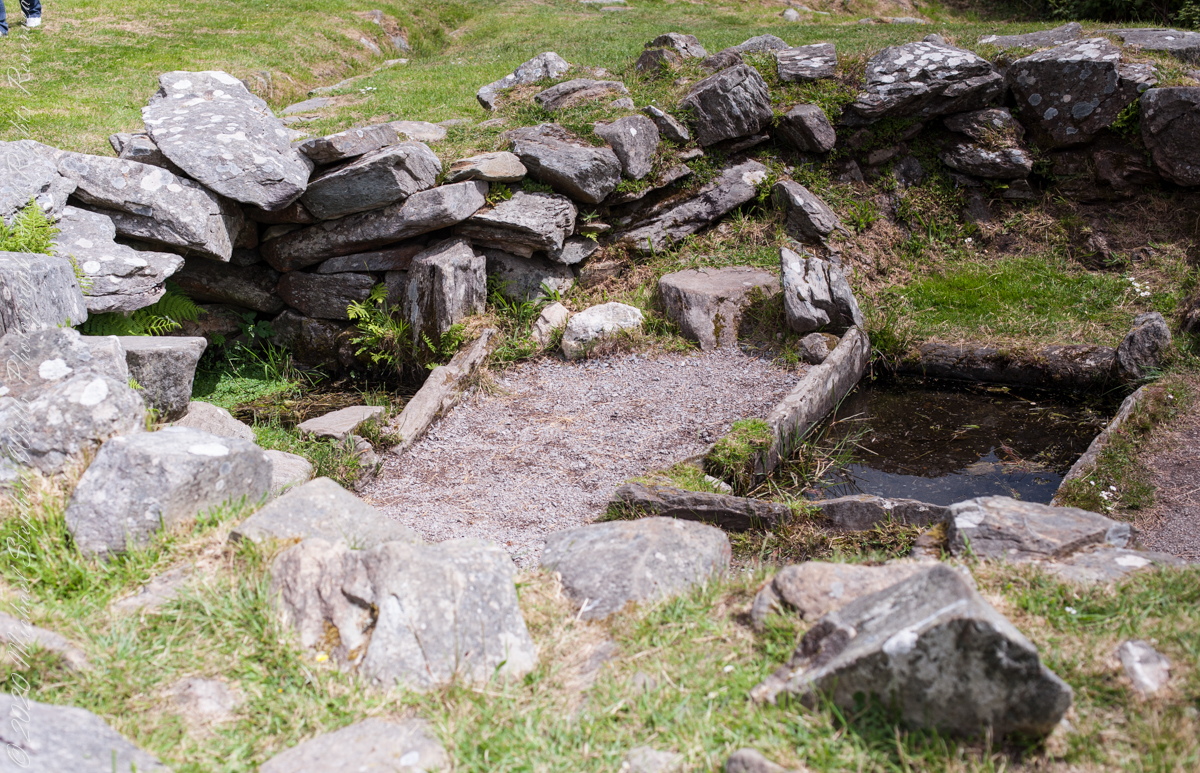
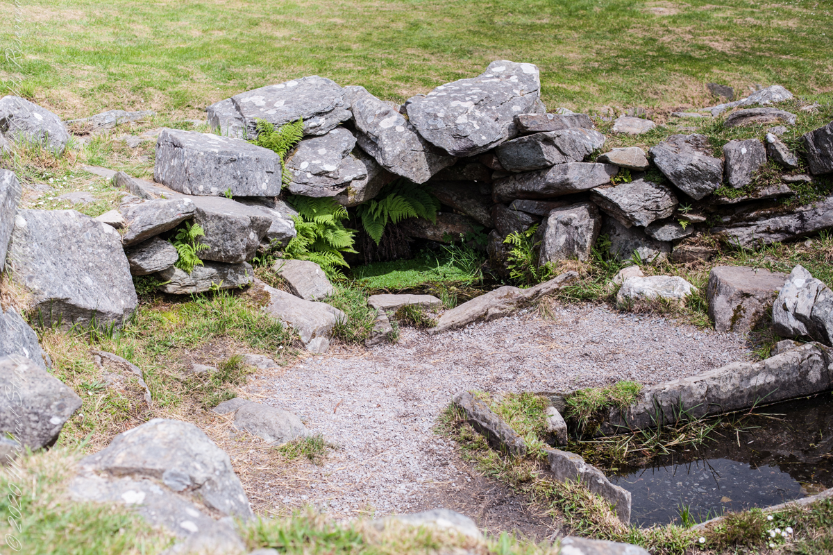
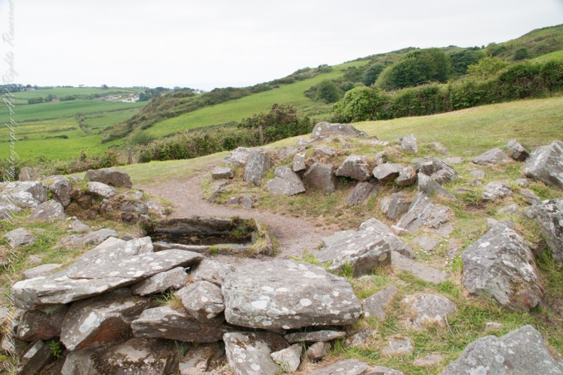
rock- lined pit
It is amazing the rock wall survived human need for the valuable wall stones. Portions were stolen, though for the most part we can see enough to understand.
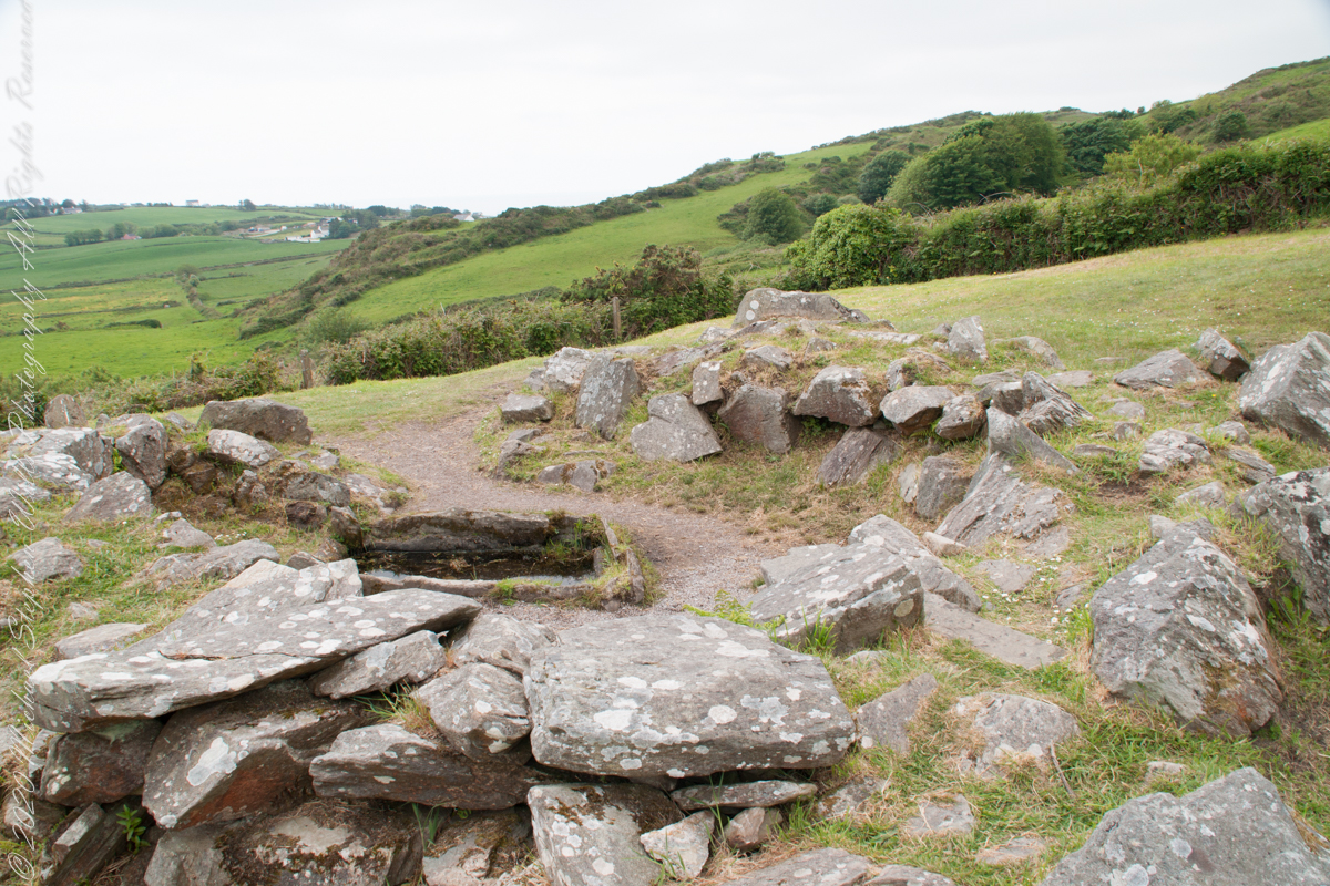
rock- lined pit and hearthView of entrance to the south from above the spring, visible is the rock lines cooking pit filled with ground water.
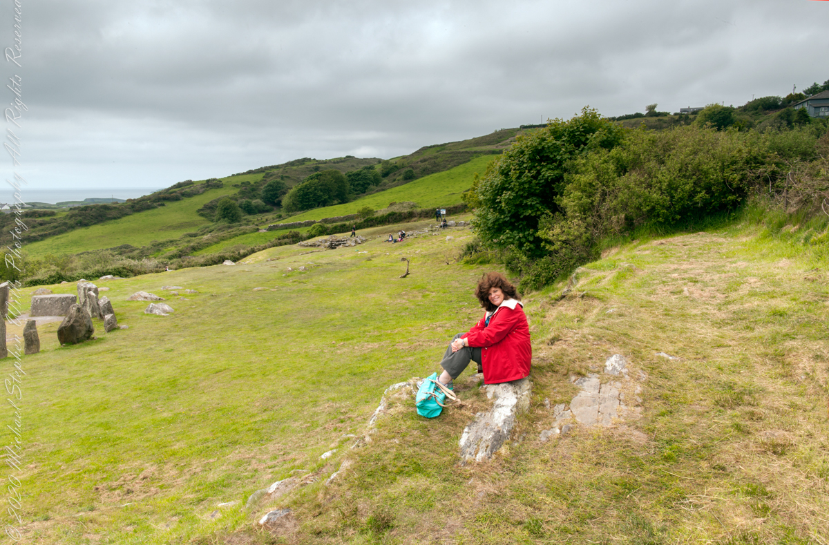
Notice the groupings of visitors in the middle distance of Pam’s photograph, gathered around remains of late Bronze age elements.
Click pic for a larger view, in a new tab. When using WordPress Reader, you need to open the post first.
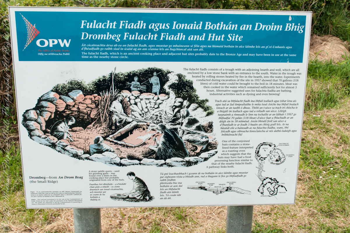
There is a sign to explain…
Trach atá sa bhfulacht fiadh le brutháil teallach agus tobair lena ais agus atá dúnta ag falla cloiche íseal le hiontráil soir. Líonadh an traid trí clocha te a théamh ar theallach agus a n-aistriú isteach sa traid lán le huisce fuar. Léiríodh le turgnamh a rinneadh le linn na tochailte ar an áit i 1957 gur féidir 70 galún (318 lítear) d’uisce fuar a thabhairt chun boil in 18 nóiméad. Ansin bhíodh feoil ann is a cócaireacht. Maireann an t-uisce seo te ar feadh 3 n-uaire an chloig. Cuirtear úsáidí eile sa bhfulacht fia ar aghaidh, mar shampla folcadáin, ceardaíocht amhail ruaimniú agus grúdaireacht.
In modern Ireland the word fulacht means barbeque and the archeological sites with characteristics in common, such as a water source, health and pit, are named “Fulacht fiadh,” derived from Old Irish sources. In all cases the link is to some kind of preparation activity involving heat and moisture. Found throughout Ireland, Great Britan and the Isle of Man where the sites are called burnt mounds. The Drombeg Fulacht fiadh exemplifies all characterists. There is a horseshoe shaped rock walled/banked, now a remnant, enclosure, entrance to the south. In the middle is a pit, at Drombeg lined with rock, a spring on one side, a hearth on the other. A stone saddle quern, used for grinding grain, was nearby Adjacent huts, rock walls with post holes, do not suggest a settlement, but rather a temporary use.
View of entrance to the south from above the spring, visible is the rock lines cooking pit filled with ground water.
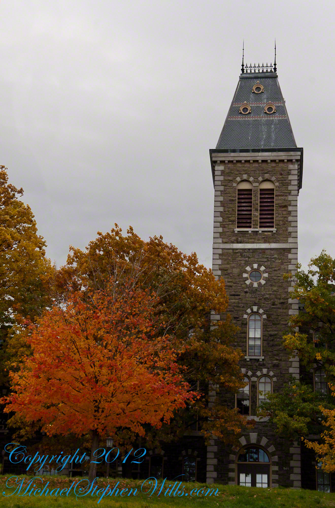
Libe Slope is between the West Campus and Quadrangle / Libraries.
Click to view my Finger Lakes Memory gallery
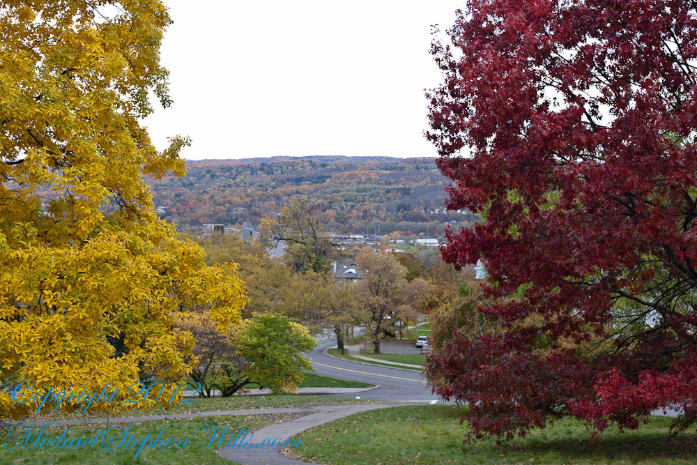
Cornell University is on a west-facing hill above Cayuga lake.
Besides the exercise of walking the 18 degree incline several times each day, Cornell students and alumni remember The Slope for autumn color.
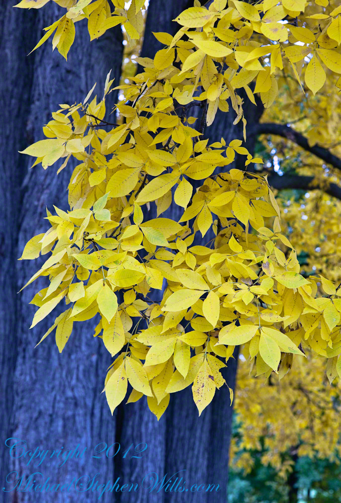
Wonderful Flow of Limbs among Gold
Click to view my Finger Lakes Memory gallery
Hickory
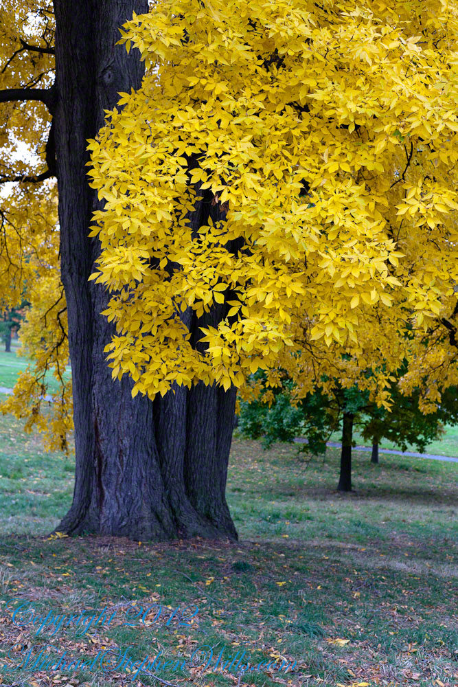
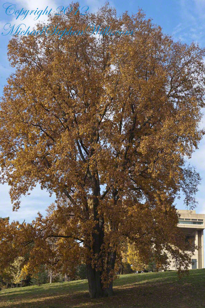
Seen from the north on a cloudy October day, this Pignut Hickory (Carya glabra) is the largest tree on the Cornell Campus, at 79 inches in diameter.
Click to view my Finger Lakes Memory gallery
Cornell University is on a west-facing hill above Cayuga lake.
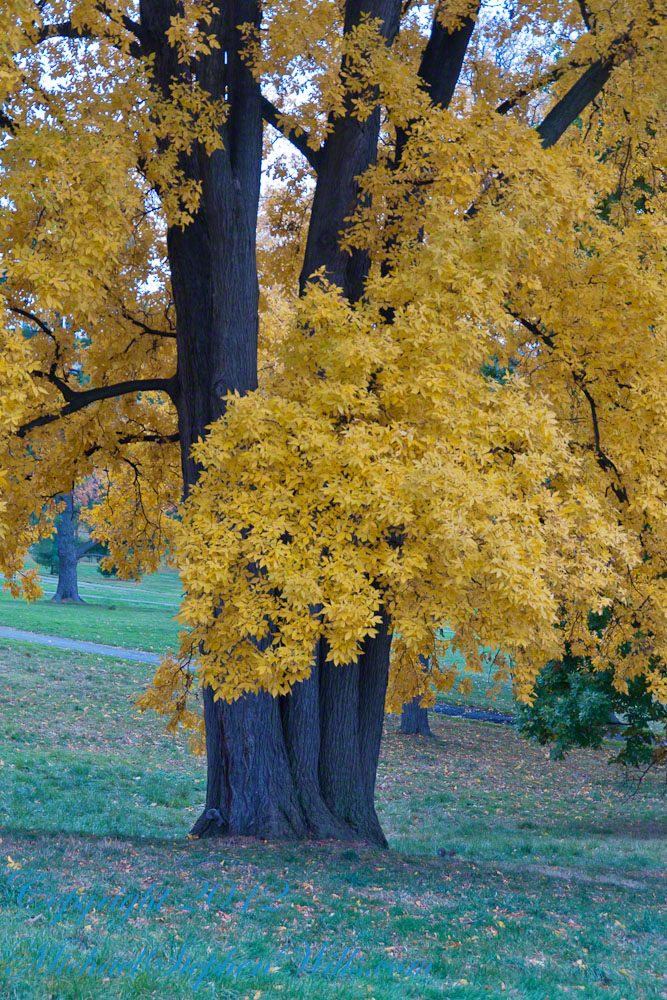
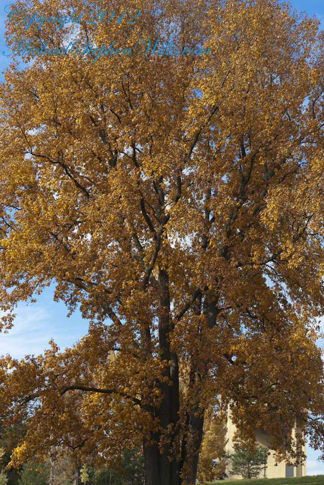
Take another look at the previous image. Can you find the grey squirrel? This hickory grows south of the Johnson Museum and among the autumn glories, it is the largest and brightest yellow canopy on Libe Slope.
Contrast
An overcast day is the best to capture this spectacle. October 20, 2012 provided both bright sun and dark, rolling autumn clouds. I waited on the north side, sheltered from the glare of the sky, for these perfect moments.
Click to view my Finger Lakes Memory gallery
I remember this hickory for the contrast between the canopy and trunk, the way the clumps of yellow hang from dark boughs.
The pignut hickory is native to these Eastern United States. It is known to favor moist slopes and this specimen has thrived on The Slope. The ground beneath it is thick with nuts.
Click to view my Finger Lakes Memory gallery
One week later
Just one week later, late afternoon on a sunny Friday as hurricane Sandy approached the east coast the hickory has fewer, tawny golden leaves.
Copyright 2021 Michael Stephen Wills All Rights Reserved
After work on a 2008 Friday afternoon in October we sped over to Beebee Lake on the Cornell University Campus to catch the late afternoon glow.
Beebe Lake is formed by a dam on Fall Creek. It seems to be the flooded meadow it is, surrounded by hills formed by glaciers 10,000 years ago. Cornell maintains footpaths around the lake.
People say that if a couple walk the a mile around the lake and over a bridge at either end, they are destined to be married. This day we passed only joggers and families. Pam and I will celebrated our tenth anniversary March 2019, so the legend worked for us.
Here are four snapshots from that time, presented in chronological order. Each is a handheld shot taken on the fly using my Sony Alpha 700 I use for exploratory photography.
Click any photograph to view my Finger Lakes Memory gallery
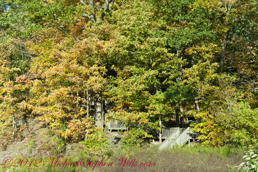
A terraced stair descends to the east side meadow to south lake shore path
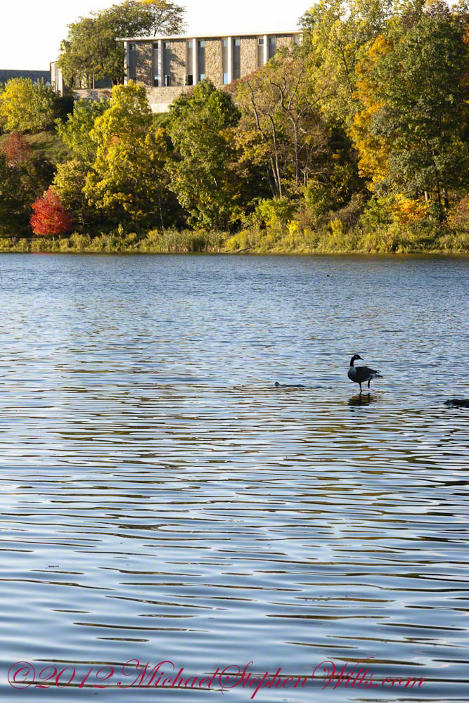
I walked down a path trod by Canadian geese to reach a clear view of the water.
View of Helen Newman Hall
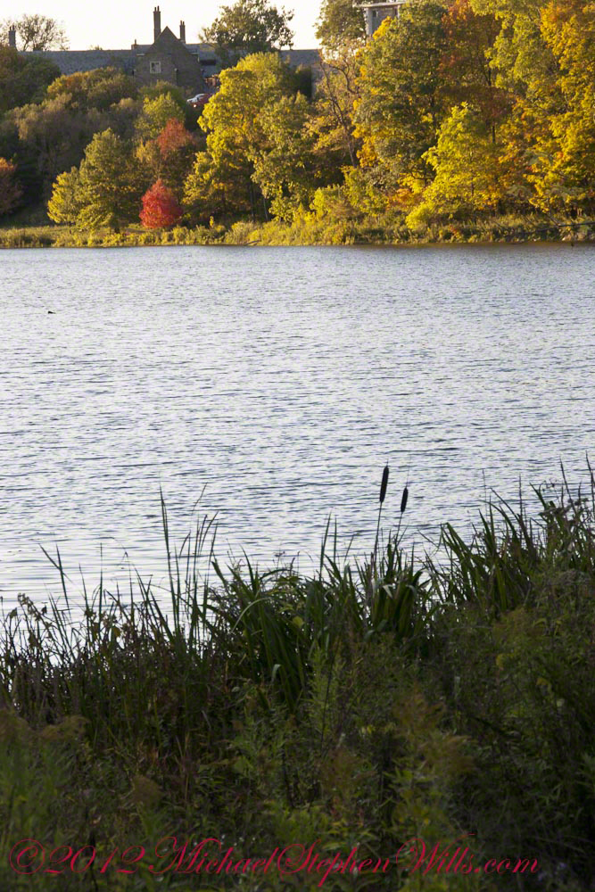
Lily pads and iris fronds grow along the bank.
Evening sunlight reflected from smooth water crests driven by a steady light wind
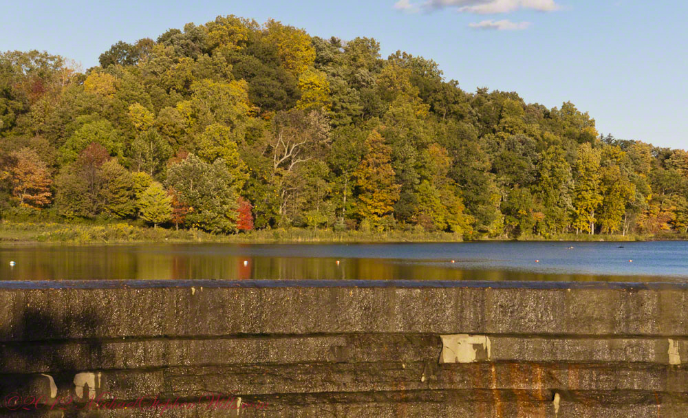
Being on the west side of the lake, the dam is bathed in golden autumn light.
The Dam That Forms Beebee Lake
On top the hill, not visible behind the trees, above the opposite bank is Fuertes Observatory. We visited it this night, opened to the public as it is on all clear Friday nights while classes are running.
Copyright 2021 Michael Stephen Wills All Rights Reserved
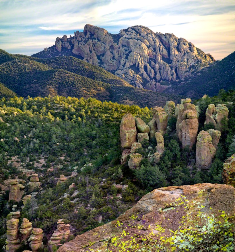
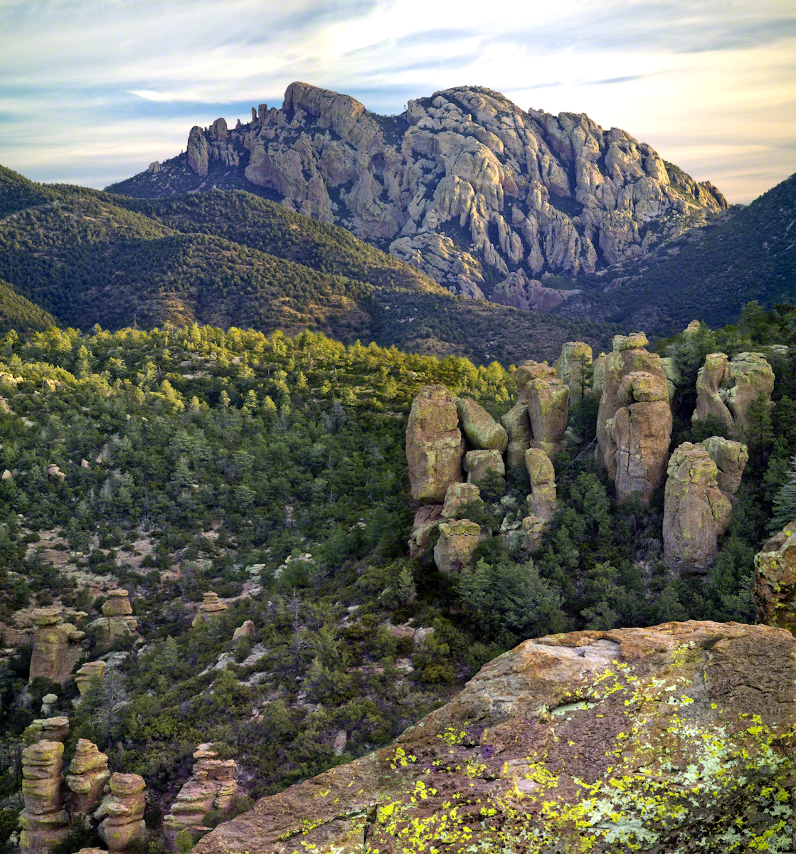
From 2004 through 2011 I visited Arizona every Autumn, October or November. As a University of Arizona Alumni Board member for the College of Agriculture and Life Sciences we had a meeting during “homecoming” and a fund raising event. I’d come early or stay later for getting acquainted with Arizona, more than was possible as an undergraduate. In 2007 I camped for several days Chiricahua National Monument of the remote south eastern corner of the state.
The park empties out this time of year, for some reason. The weather is perfection with clear skies, moderate daytime temperatures, cool nights. This time of year the Arizona White Oak acorns ripen and fall. The campground has aluminum picnic tables, the falling acorns made a loud plunks throughout the night. This would annoy some people. Me, it is a great memory.
The following two images are great memories from my first morning.
Click any photograph for my Online gallery.
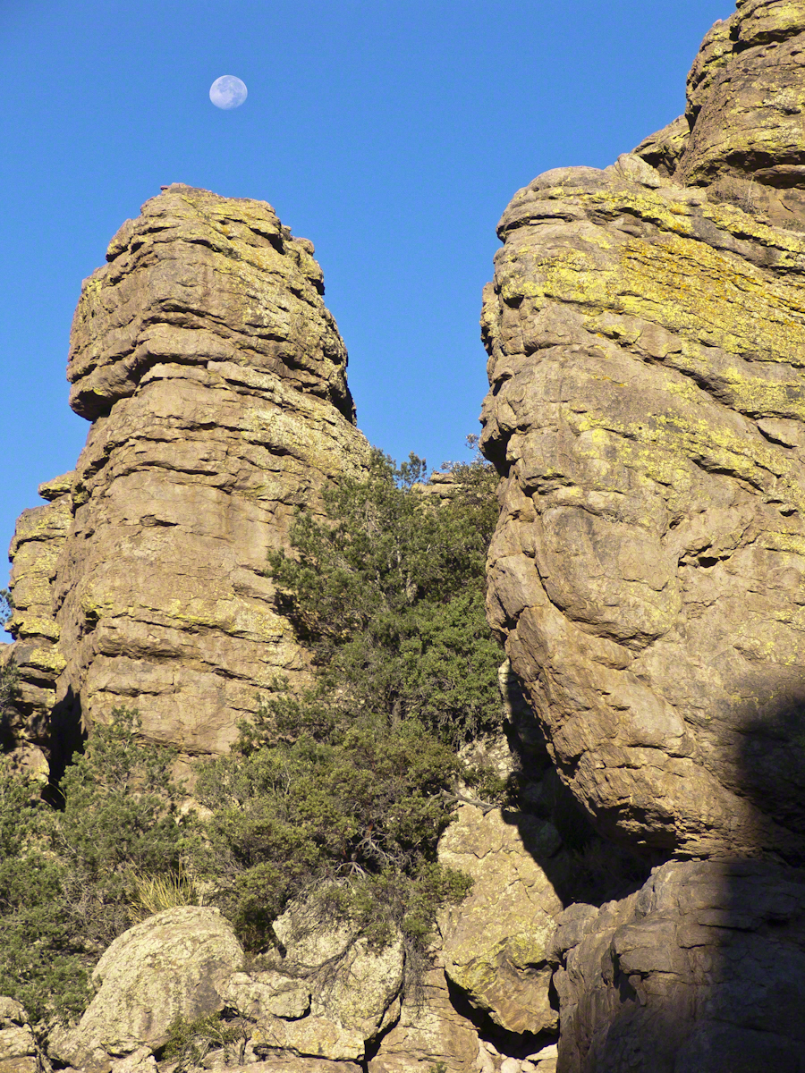
These formations hovered over the trail on my first morning. The rising full moon was an unplanned bonus.
I experimented this trip with a breakfast of granola with dried whole milk. It was delicious (for me) and got me out on the trail quickly. This first morning I clicked my hiking poles together to scare away bears as I walked in the pre-dawn dark. The preparation and extra effort paid off with this photograph.
Click any photograph for my Online gallery.
I met one hiker who was a harbor pilot from Hamburg, Germany. He came just to view a particular rock formation that was, literally, the rubber bath duck. It is several miles to the site, a moderate hike with significant elevation gain. He took his snapshot with a little camera and was on his way.
The following is my masterpiece from the trip. Imaging the effect of seeing this image on settlers. That same first day I turned a corner and there this was…it took a few minutes to comprehend what I saw, it was so incredible and, for me, unexpected. It first, the only perception is a huge rock dome of rough rock, then, slowly, the image of a native American profile forms in the mind. Cochise Dawn
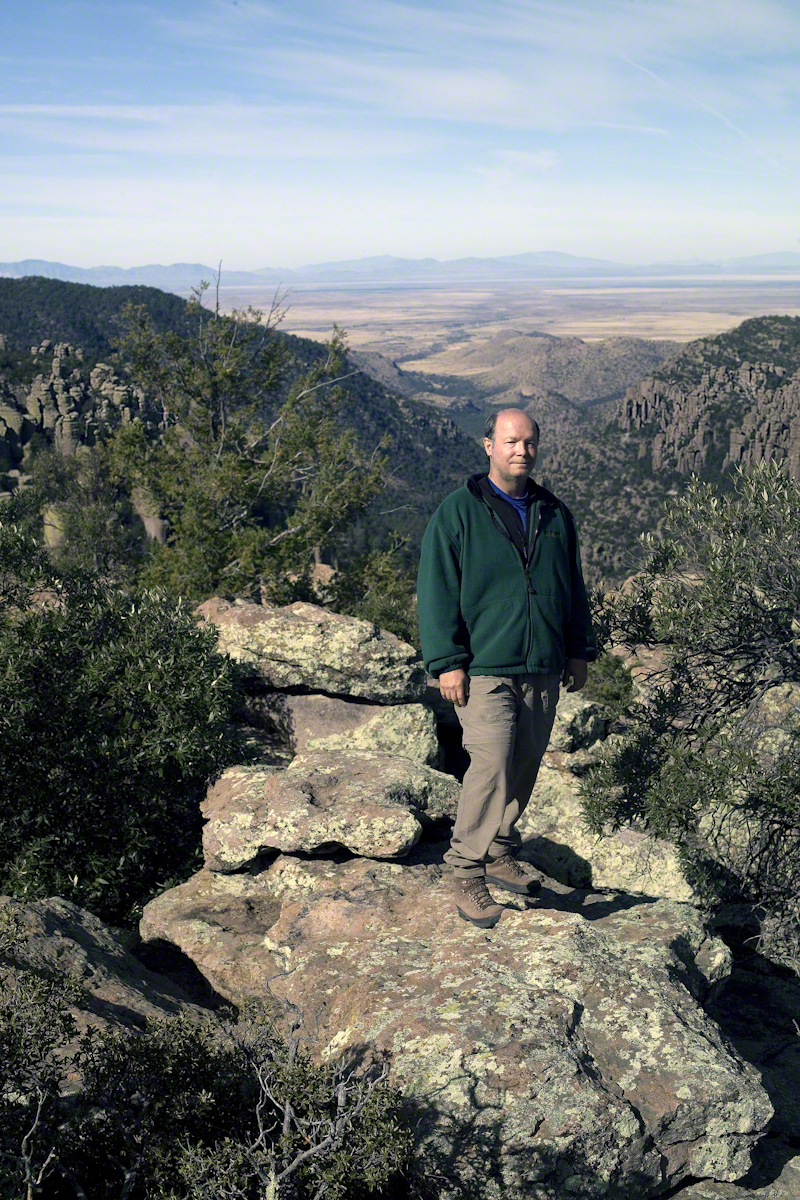
During the session for Cochise Dawn I turned the camera for the view northwest and did a self portrait. In the distance are the Galiuro Mountains and Wilderness. Tucked alongside is the Aravaipa Canyon Wilderness, hosting one of the few perennial streams of Arizona.
Copyright 2017 Michael Stephen Wills All Rights Reserved
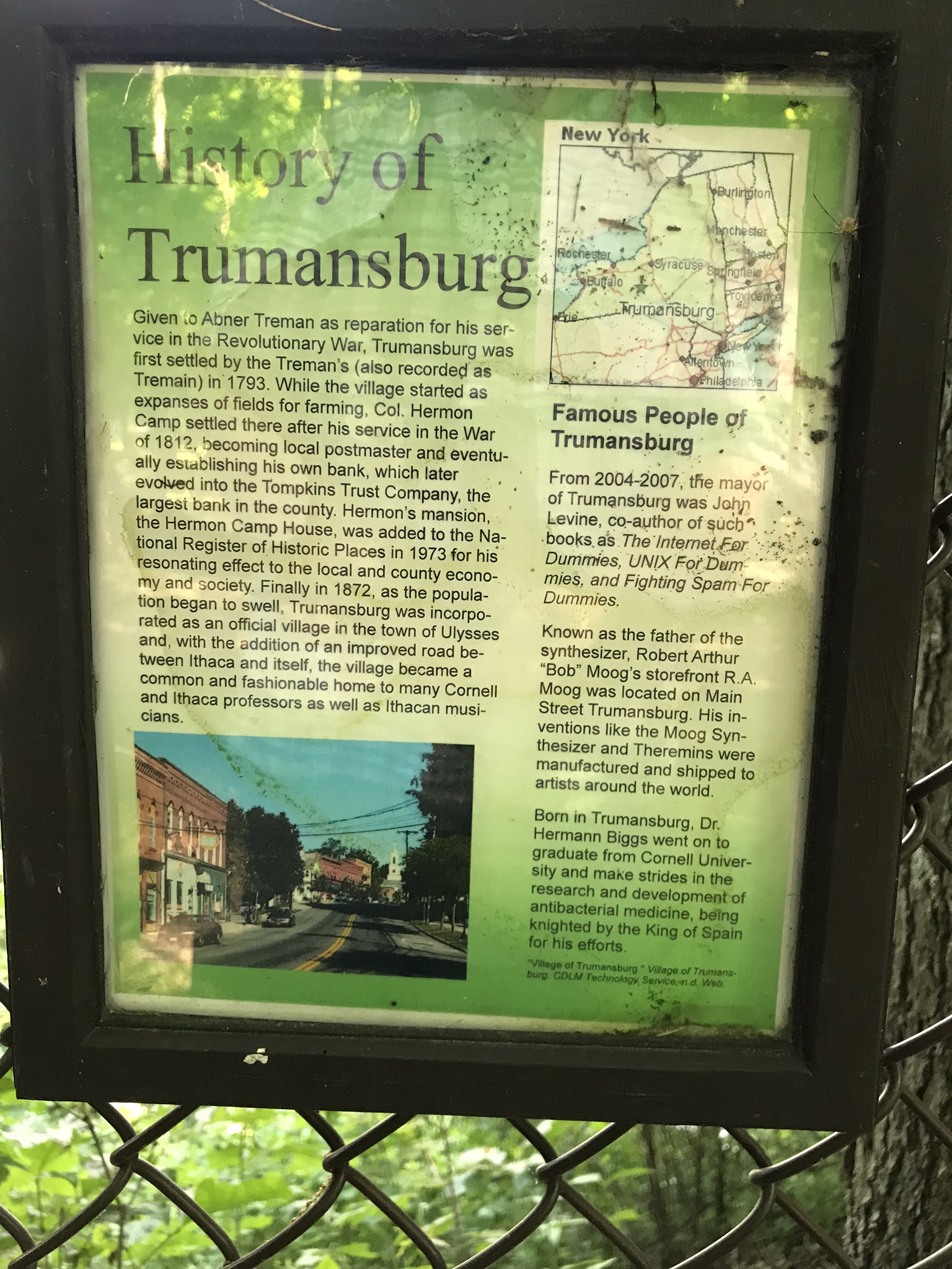
Capturing photographs and videos on the fly using an Iphone, we visited Fillmore Glen State Park, Moravia, New York with our granddaughter, Nia. This is the third post of this series. Click me for the first post in this series.
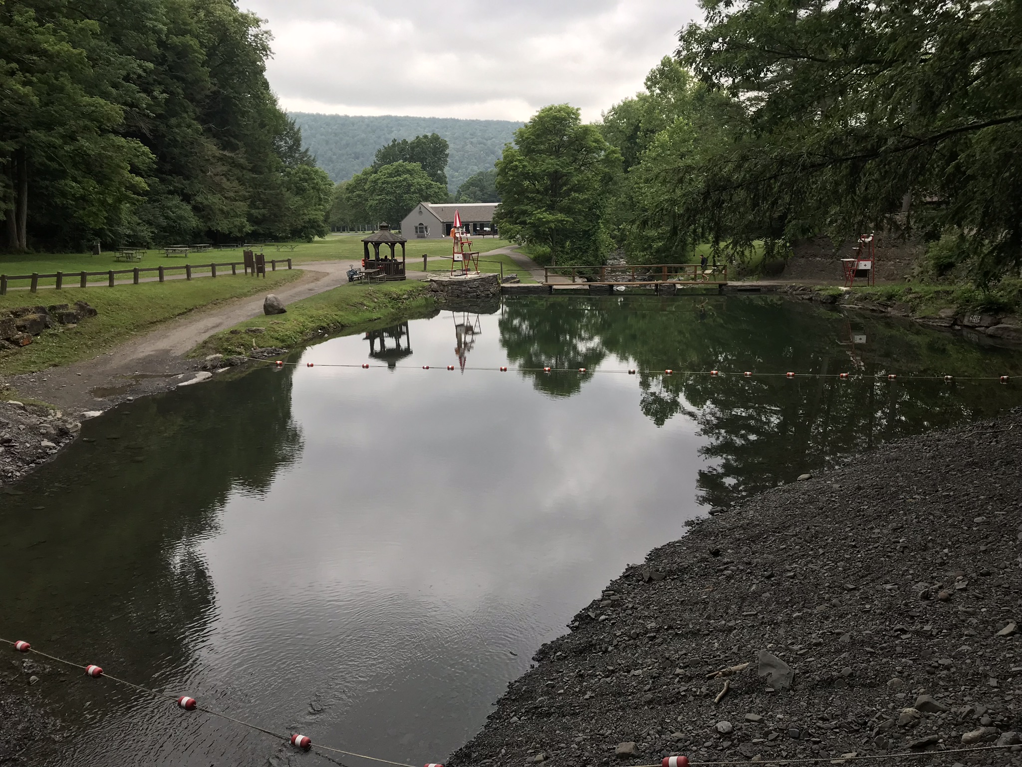
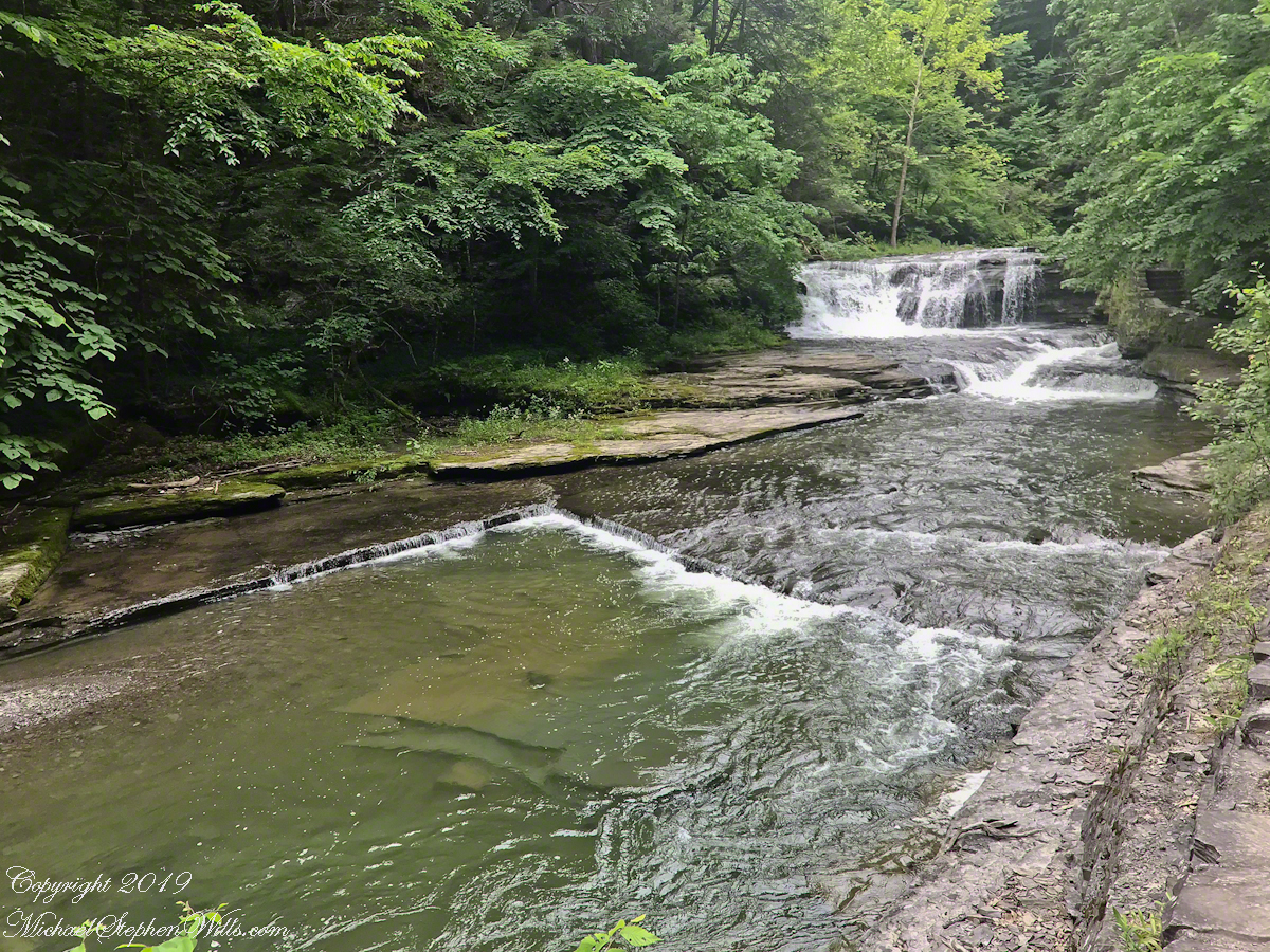
Emerging from the blind canyon of Cowsheds Waterfall, we are faced with this gorgeous pool fed by Dry Creek (yes, that is the name). Formed by a dam, the water is deep and very cold.
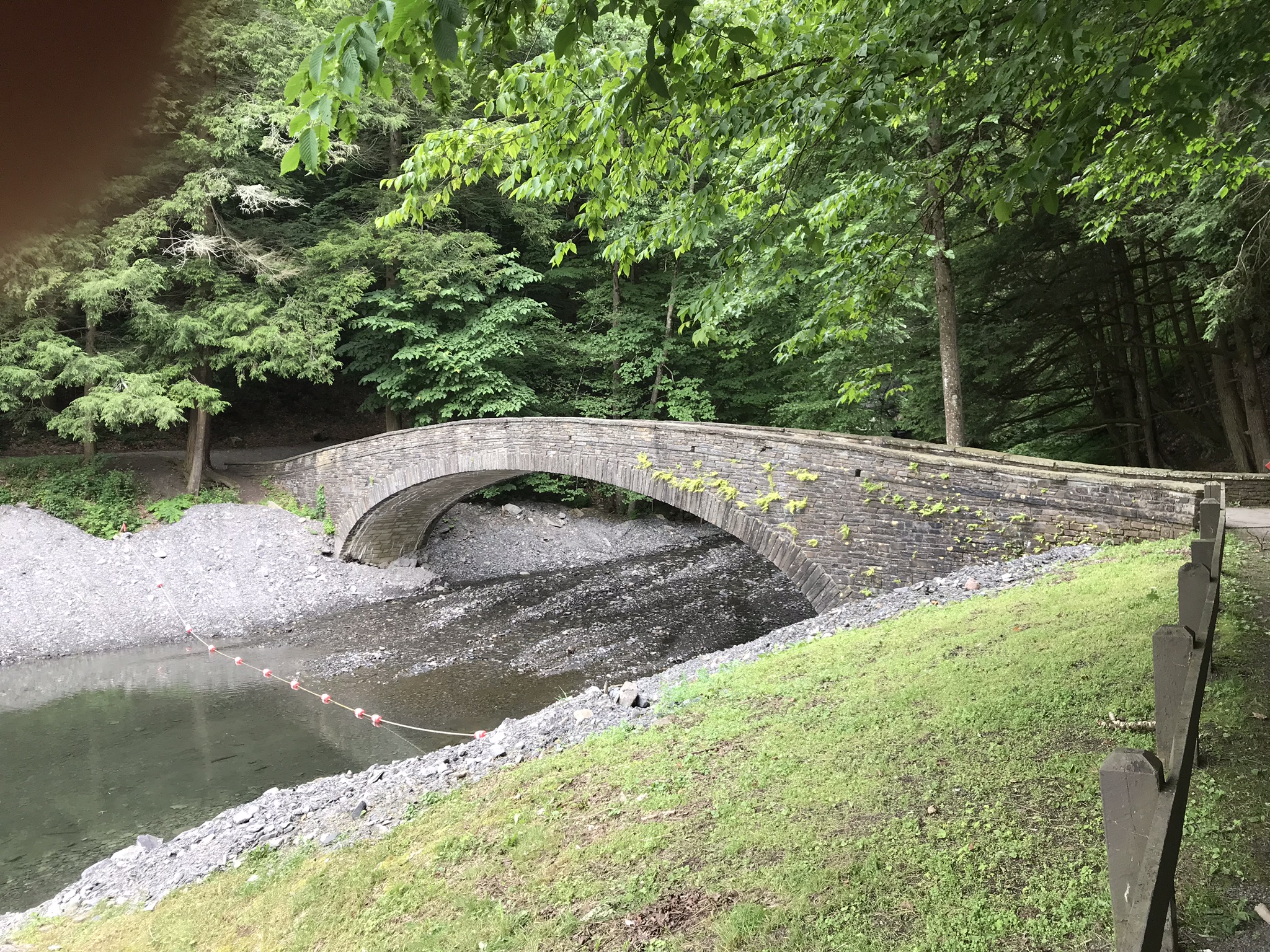
We were standing on this footbridge for the above photograph. The trail to Cowsheds is on the far side of Dry Creek and to the right.
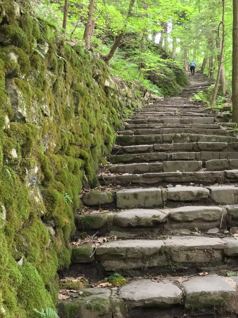
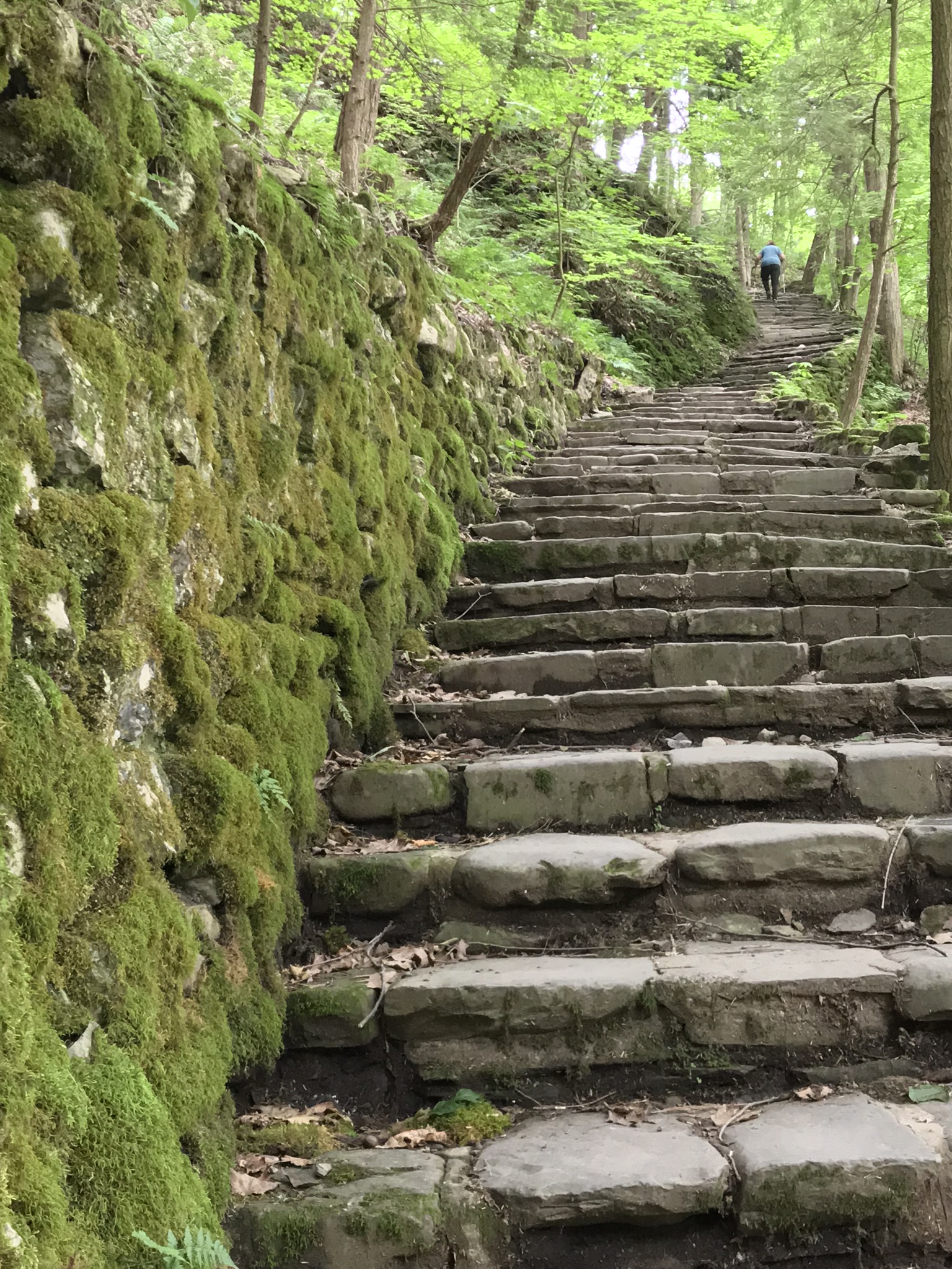
We have yet to count these steps, don’t know why. The limestone blocks were quarried locally from the same stone of the creek bed. The gorge trail begins at the top.
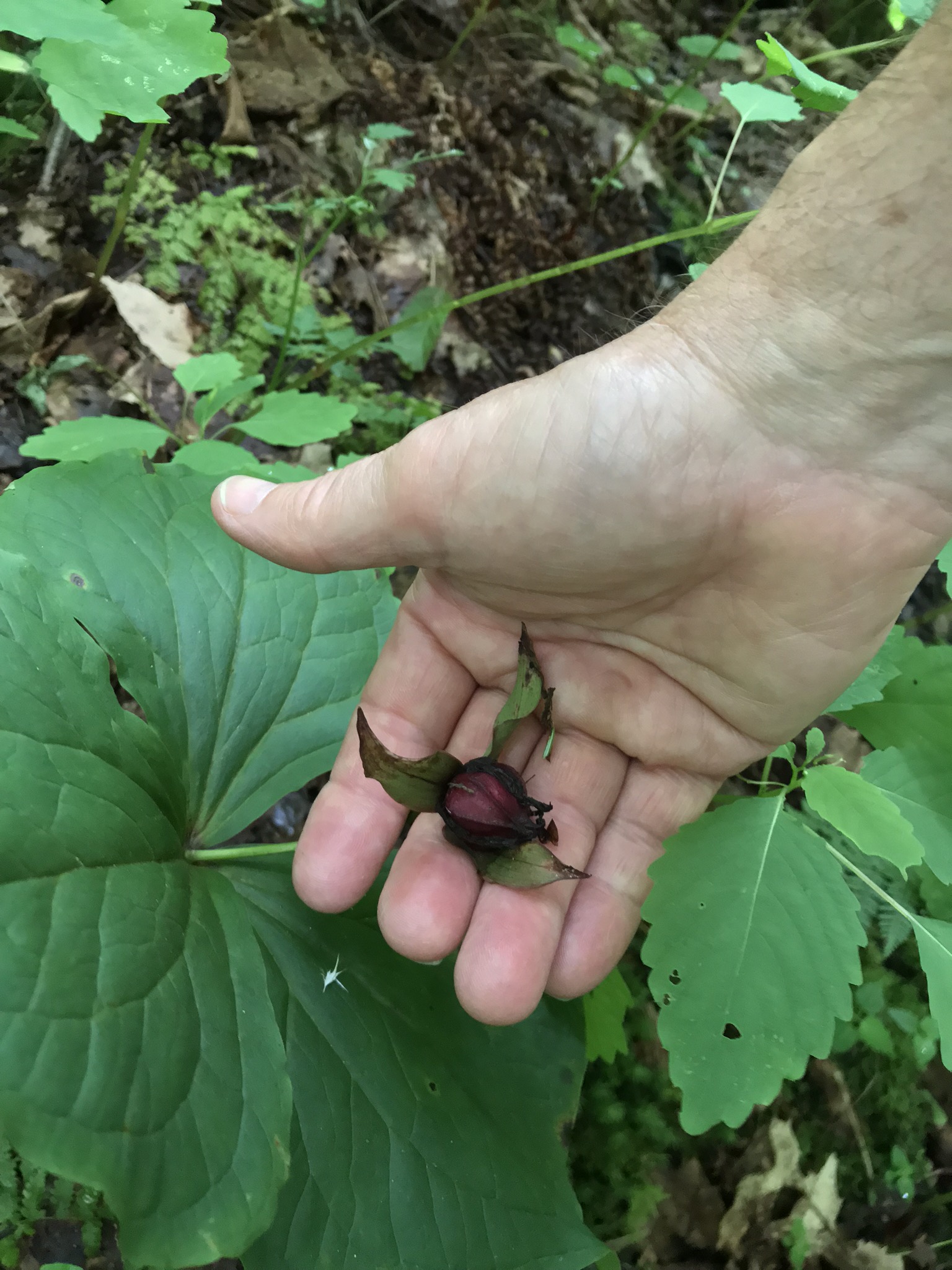
Trillium Seed Capsule
This is a Purple Trillium, I believe, formal name Trillium erectum. It is a large specimen judging form the width of the bracts, leaf like structures at the based of the flower stalk. When fertilized, the ovaries form this seed capsule containing up to 16 seeds, each with lipid with a high content of oleic acid. During summer, the capsule opens, seeds disperse. Ants encounter the seed elaiosome, the oleic acid content triggers “corpse carrying behavior.” The ants carry the seeds into their nests, consume the lipids leaving the seeds. After a year dormancy the seeds sprout and the additional depth in the ant nest provides a good start.
Trillium are a favorite food of deer, unfortunately. Some seeds are spread this way, passing through the digestive tract and out in fecal waste. I use the color of the seed capsule to identify it was Purple Trillium. In my experience the white variety (Trillium grandiflorum, and others) has a light colored seed capsule.
Copyright 2021 Michael Stephen Wills All Rights Reserved
Travelling light, using IPhone captures during a 4.6 mile walk on the Gorge and North and South Rim Trails of Taughannock Falls New York State Park, Finger Lakes Region near Ithaca, New York. A few waterfalls and sights along the way. Distance is from the “Health” app on my phone.
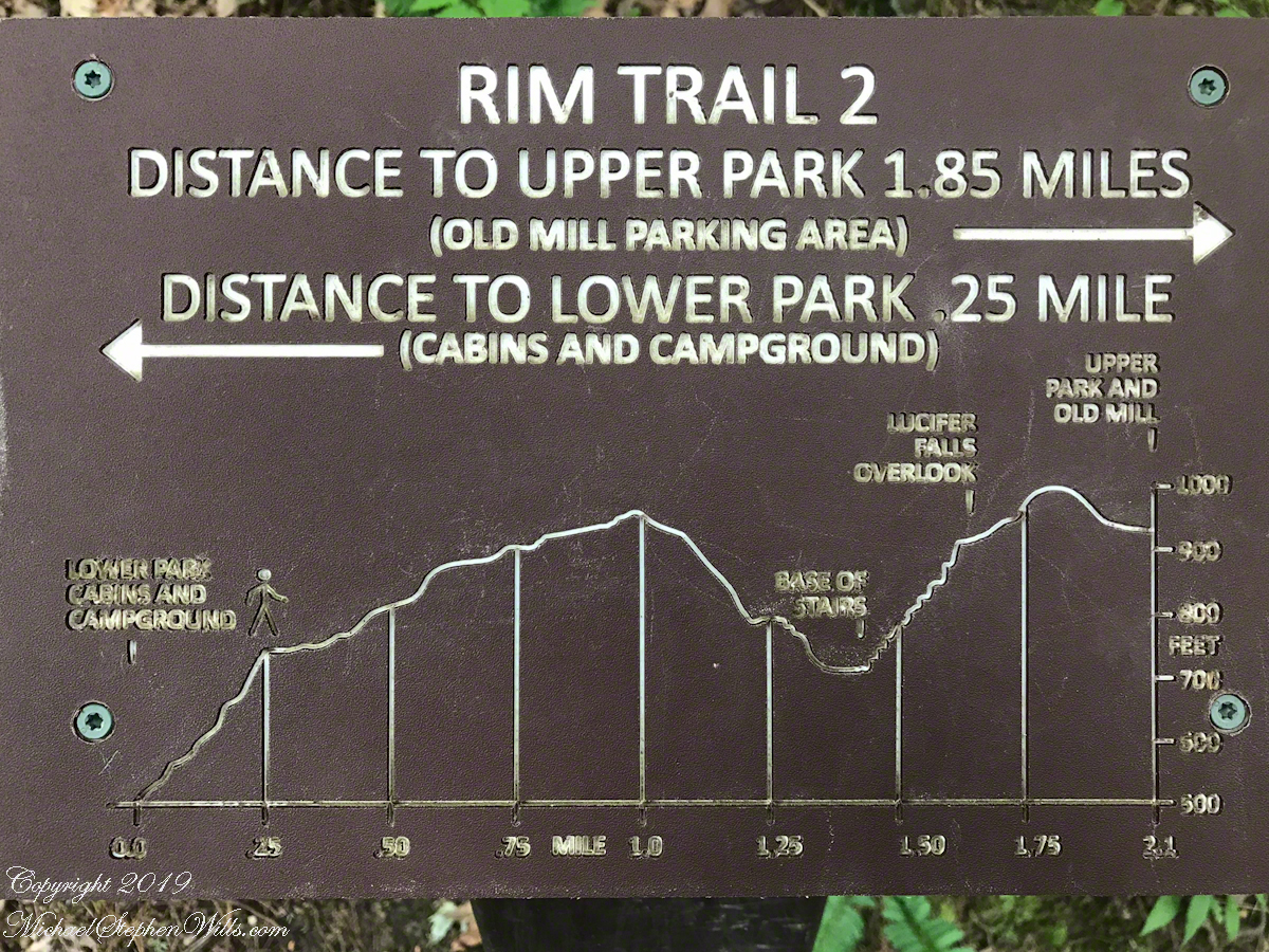
A “Rim Trail” follows the edge of the gorge. The “Gorge Trail” is within the gorge, along side the creek and ends at the 200+ foot waterfall.
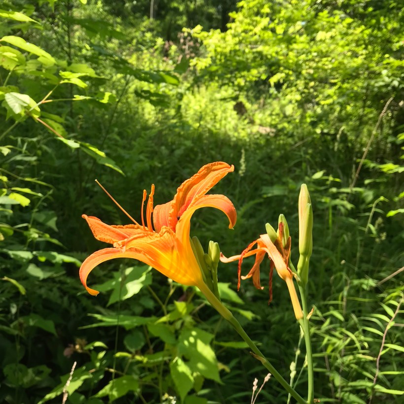
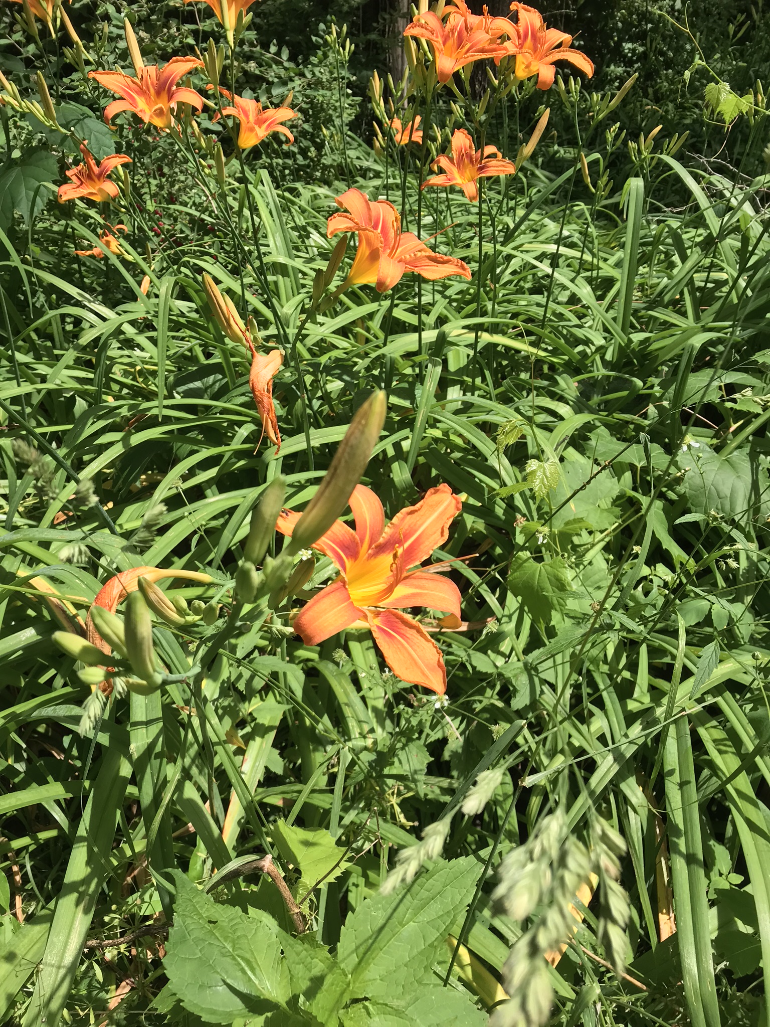
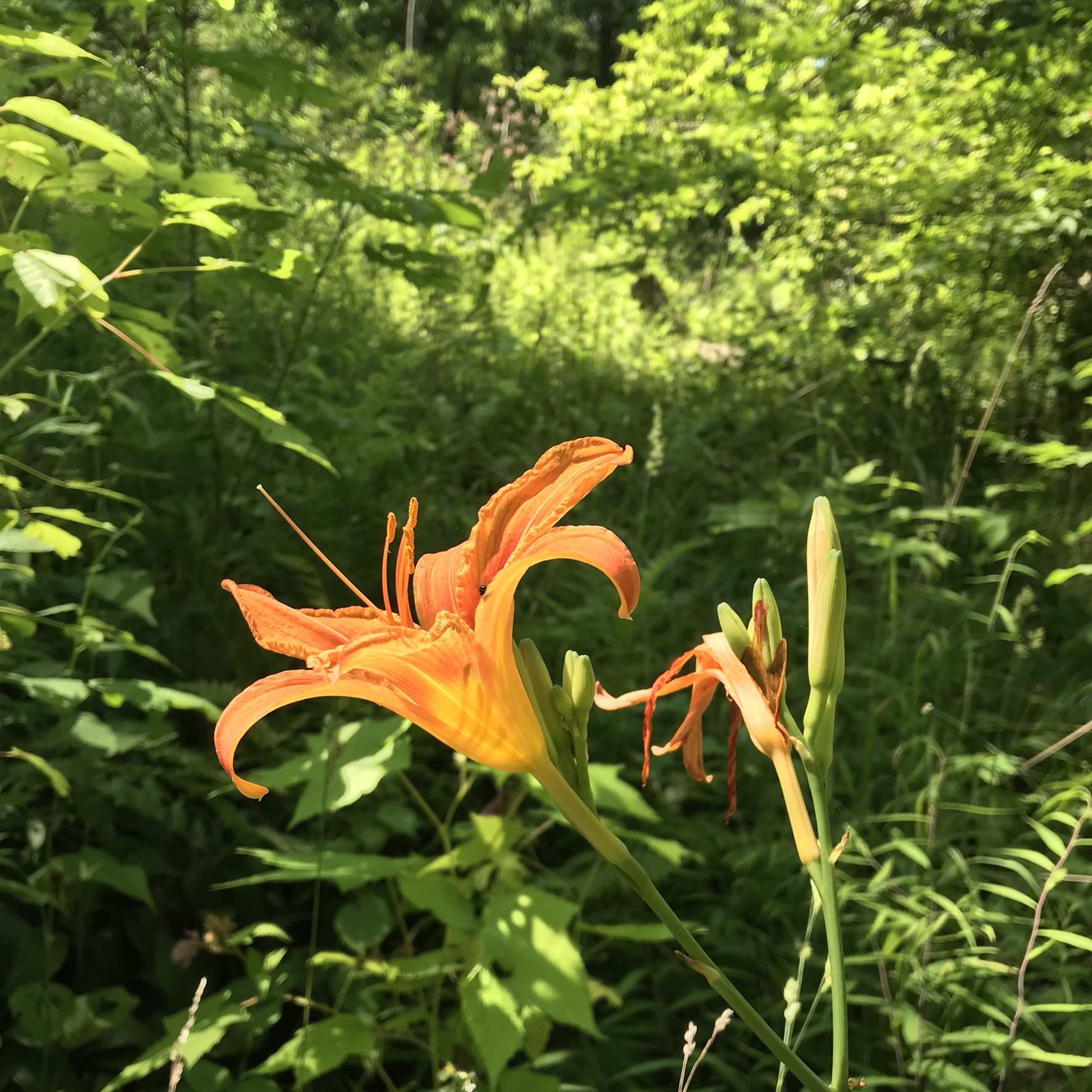
This was the day Tiger Lilies bloomed along the roads the entire 13 miles. This stand was at the beginning of the South Rim trail.
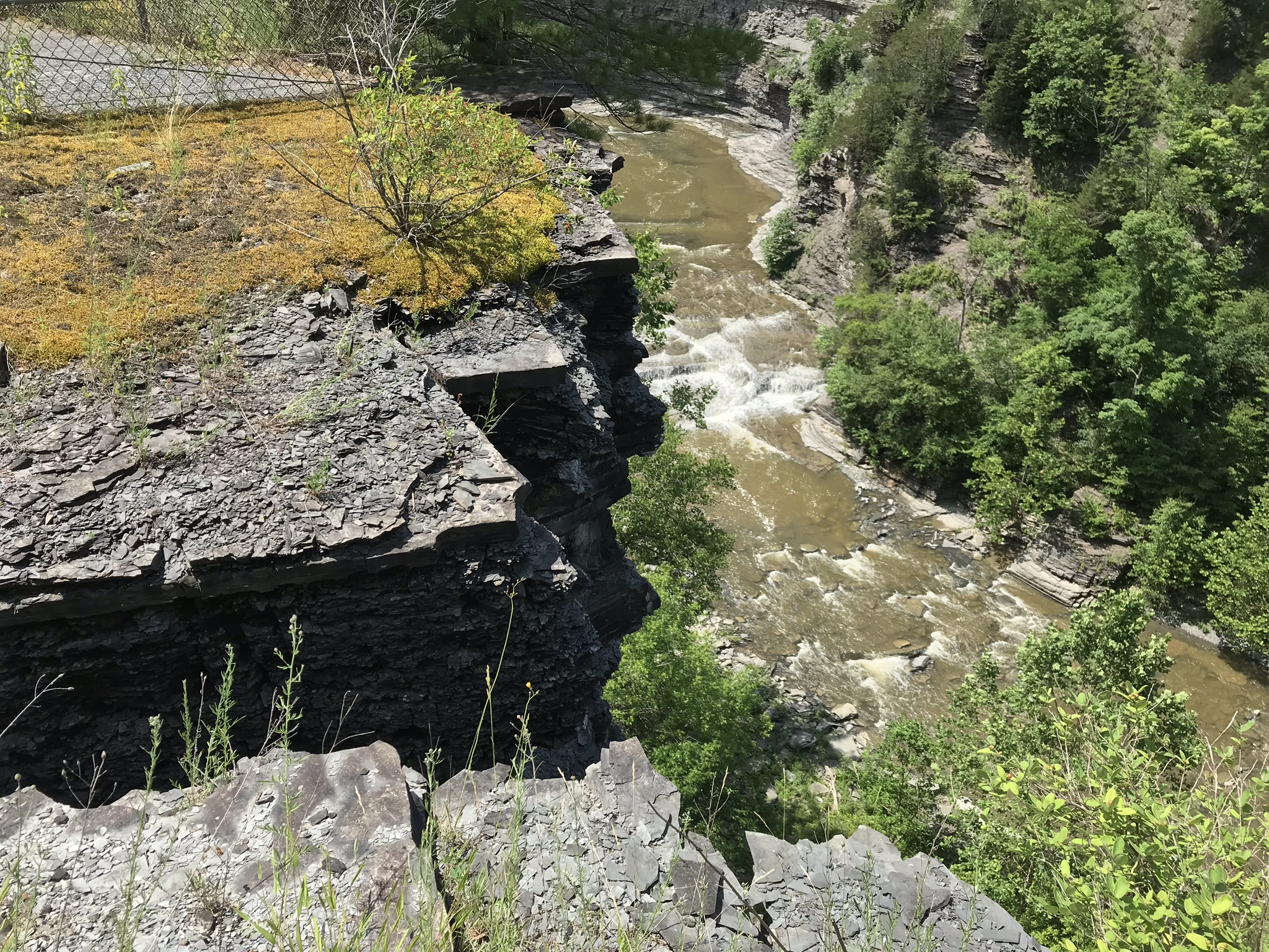
A few steps farther the trail opens up to the expanse of the gorge above the waterfall, a place to contemplate the age of these rock gazing into the open space. There is no access to the bottom of the gorge here.
On days like this, the experience carries me away, enjoying the moments and forgetting the phone in my pocket. When I come to, it is the bottom of the South Rim trail at the entrance to the Gorge Trail and the hordes walking to the falls on a Sunday afternoon. This waterfall welcomes everyone at the beginning.
The vantages I choose usually exclude the crowds, here is a video of the observation platform beneath the 215 foot Taughannock Falls. Any closer and the camera lens is covered with mist. Feels great on this hot day.
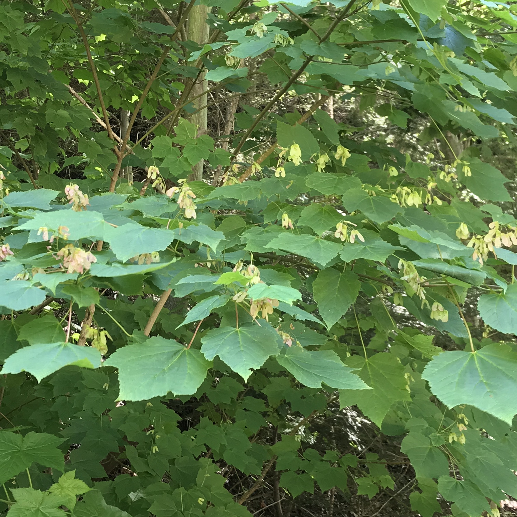
I capture this tree growing along the Gorge Trail for later identification. It has fruits similar to a maple tree. Called samaras and also known as helicopters, maple keys, whirlybirds, and polynoses these must distinguish this tree as a member of the genus Acer though the leaf shape gives me doubts. Here the gorge changes direction almost 90 degrees from, generally, north/south to east/west. There is plenty of sunlight here and the tree has taken root in the talus of the cliff face.
I researched it and discovered the scientific name is Acer pensylvanicum and more commonly known as Moosewood. There is a “famous” restaurant in Ithaca, named Moosewood, so now I know there is indeed a tree growing locally by that name. The restaurant is near the commons of Ithaca and is 100% vegetarian. The last time Pam and I at there we were packed like sardines, like some collective, and we’ve never been back. The food is good and the basis of their fame is a cookbook by the same name.
Backlit lilies found on the climb up the North Rim trail.
Travelling light, using IPhone captures during a 5.7 mile walk on the Gorge and South Rim Trails of Robert H. Treman New York State Park, Finger Lakes Region near Ithaca, New York. A few waterfalls and sights along the way. Distance is from the “Health” app on my phone.
One of many waterfalls along the Gorge TrailLooking back to the above waterfallEnchanted Trail
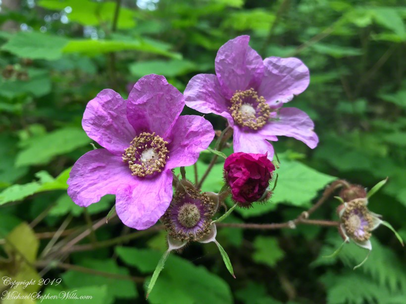
Birdsong and enchanted placeBayberry?The power of flowing water (flood stage)
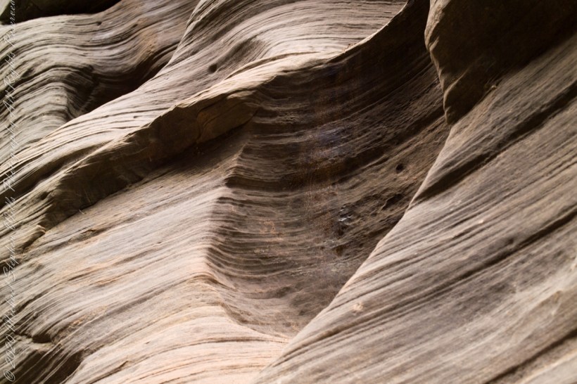
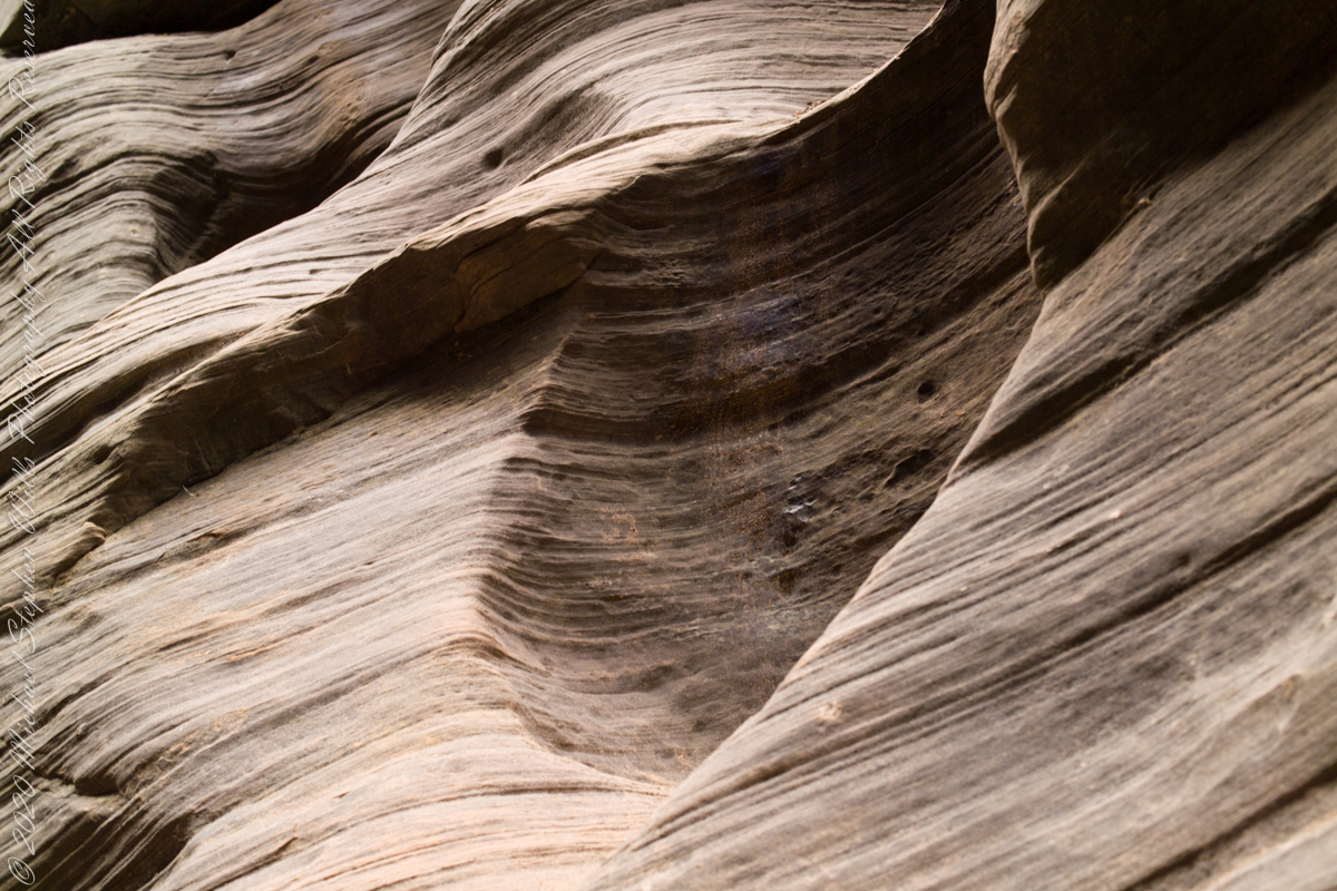
Mysterious alcoves through cross-bedded Navajo Sandstone, 15 feet, or more, above the streambed. I use mysterious in the sense I wished the formations were mysterious, standing there with nowhere to climb, witnessing the effects of floods that high above. The location is The Narrows just above Orderville Canyon junction, Zion National Park, Springdale, Utah
Copyright 2021 Michael Stephen Wills All Rights Reserved