After work on a 2008 Friday afternoon in October we sped over to Beebee Lake on the Cornell University Campus to catch the late afternoon glow.
Beebe Lake is formed by a dam on Fall Creek. It seems to be the flooded meadow it is, surrounded by hills formed by glaciers 10,000 years ago. Cornell maintains footpaths around the lake.
People say that if a couple walk the a mile around the lake and over a bridge at either end, they are destined to be married. This day we passed only joggers and families. Pam and I will celebrated our tenth anniversary March 2019, so the legend worked for us.
Here are four snapshots from that time, presented in chronological order. Each is a handheld shot taken on the fly using my Sony Alpha 700 I use for exploratory photography.
Click any photograph to view my Finger Lakes Memory gallery
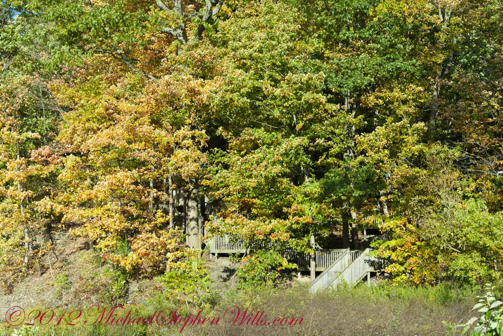
A terraced stair descends to the east side meadow to south lake shore path
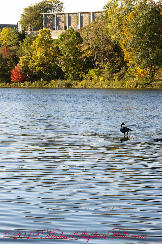
I walked down a path trod by Canadian geese to reach a clear view of the water.
View of Helen Newman Hall
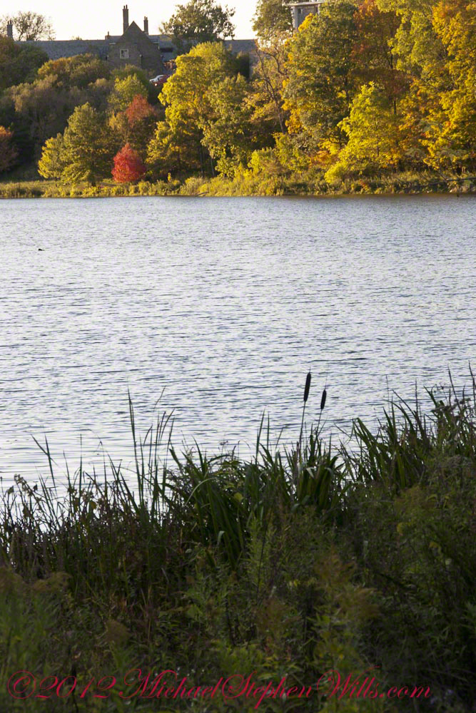
Lily pads and iris fronds grow along the bank.
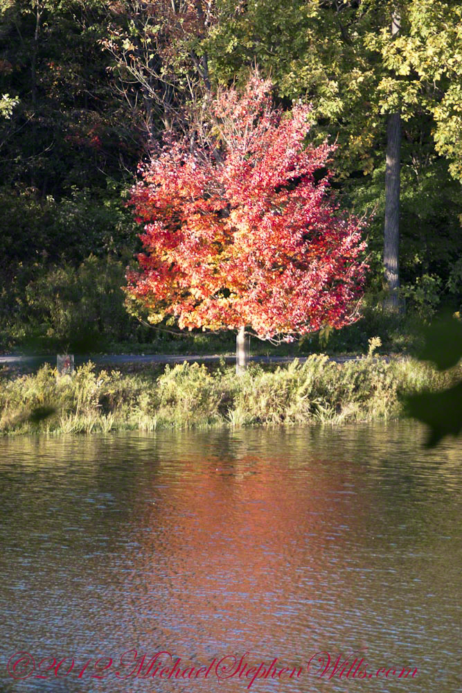
Evening sunlight reflected from smooth water crests driven by a steady light wind
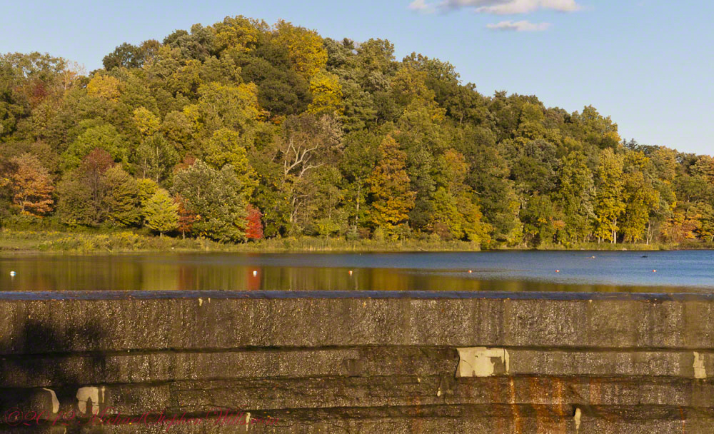
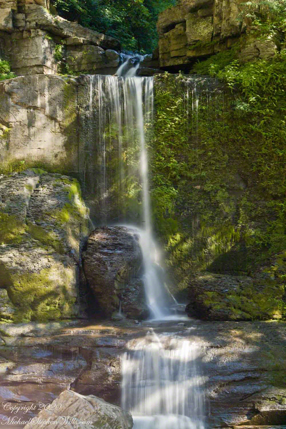
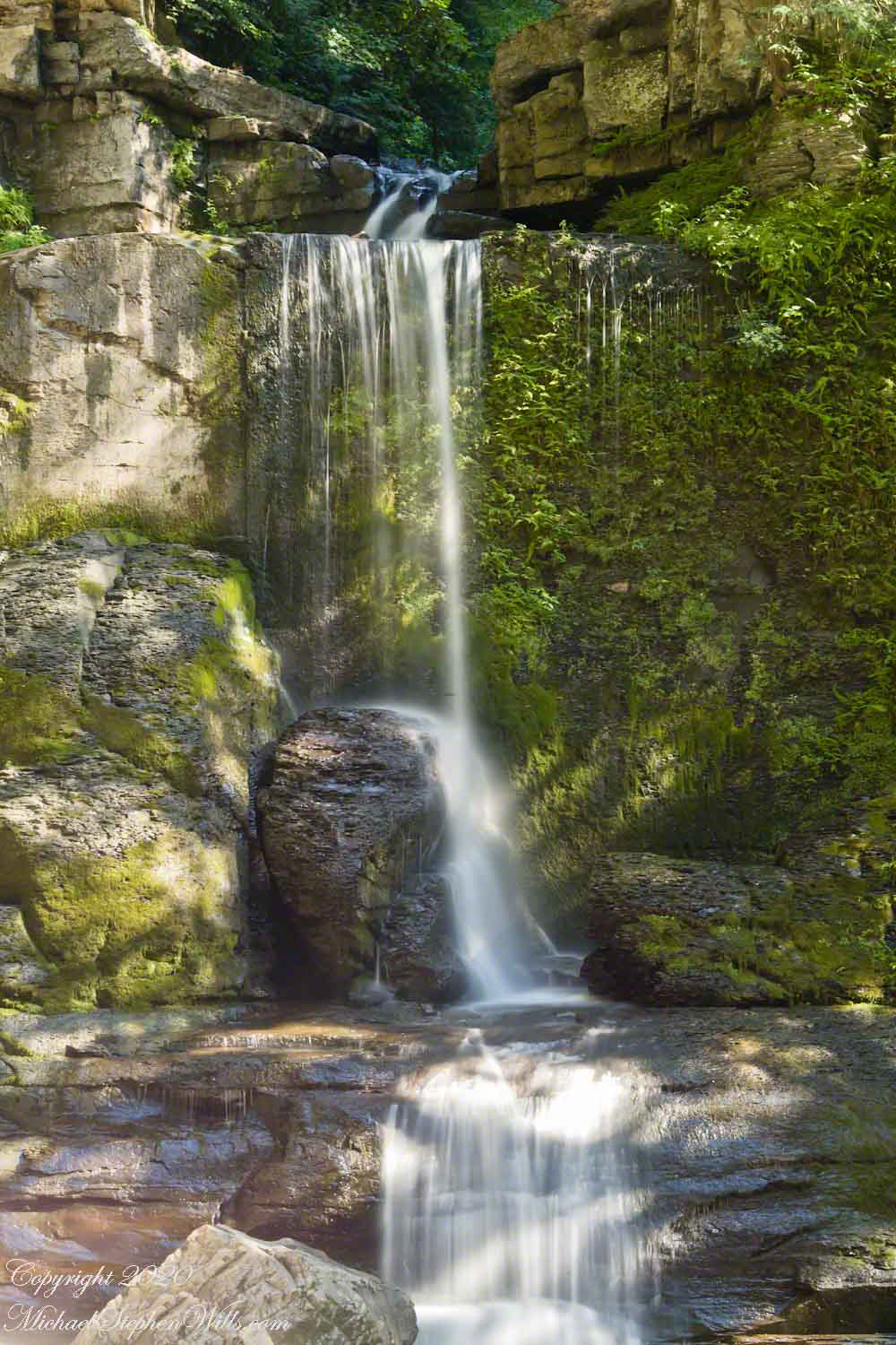
Being on the west side of the lake, the dam is bathed in golden autumn light.
The Dam That Forms Beebee Lake
On top the hill, not visible behind the trees, above the opposite bank is Fuertes Observatory. We visited it this night, opened to the public as it is on all clear Friday nights while classes are running.
Copyright 2021 Michael Stephen Wills All Rights Reserved
In my post Canyon of Music, Wind, Light I shared a different photograph of this beetle crawling on sandstone, naming it as a “dung beetle”. I had assumed it was one from once having seen a beetle in an Arizona desert pushing a ball of dung around. This morning, to confirm my assumption, I searched for images of “Arizona Dung Beetle” and was dismayed to find this beetle shares no characteristics with the photographs. Absent smoking gun evidence, sadly lacking in this photograph, I have to admit my “dung beetle” attribution is in error.
Supporting the beetle, the luminous surface of the red sandstone named “de Chelly,” sunlight reflects from durable remnants of the ancestral Rocky Mountains wore to these bits of rock, piled to mountainous dunes by the winds of tens of thousands years, polished to smoothness each against the others.
Mysterious abrasion and grooves in a de Chelly sandstone cliff, Canyon de Chelly.
The above photograph is a detail from the brightly lit cliff of the following photograph. The desert varnish and underlying rock was weathered over thousands of years, the sand grains falling to the canyon floor.
The soil of the canyon is composed of these bits of the ancestral Rocky Mountains. What appears to be a white road in the above photograph is not man-made, it is the dried bed of a stream. When a waterway is dry like this, only flowing with rains, it is called a wash. When water fills the wash of the Canyon Del Muerto, the polished sand granules become a dangerous morass, sucking down horses, people, anything unlucky enough to step into it. Every movement, struggling for freedom, pulls the victim deeper down until the wet sand closes over the head and suffocation and death ensues.
Stairs cut into the sandstone cliff of Canyon de Chelly
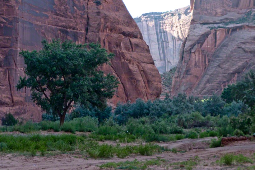
The waters Canyon De Chelly National Monument naturally form a vast Y into the Defiance Plateau, naturally because two major streams merge into one canyon a few miles above Chinle. On both our guided trips, heading east from Chinle there is a branch. On the right De Chelly canyon continues. On the left is Canyon Del Muerto. The photos in this post are all from “The Canyon of the Dead”, what the name means translated into English.
No, it is not named this because of the quicksand. Conditions for quicksand are present throughout canyons of the southwest. It is history of human occupation for which this canyon was named. I will cover it in a future posting. For now, I will say the above views are from the spot featured in “Family Trek.”
My first visit, in 2003, while my son Sean climbed the rocks with our guide, I was left to document the wondrous surroundings. The above shallow cave is reached by that stairway carved into the precipitous ledge. The access to the cave is via those naturally occurring ridges of the cross bedded sandstone. It is another example of De Chelly sandstone formed from the windblown edge of a monstrous ancient sand dune.
A solid block of De Chelly sandstone formed from the central bulk of a sand dune.
Here is another example of rock formed from the solid body of the sand dune, that unbroken and un-striated cliff. Below is the cross-bedded, windblown sand.
Autumn lights up the floor of Canyon De Chelly, the foliage rivals the cliffs for wonder at this time.
As we proceeded generally east from the climbing spot of “Family Trek”, driving by the golden cottonwood foliage I asked the guide to stop for these photographs.
Canyon walls
Soon the cliffs hid the sun.
Notice the modern water distribution system (pipe) at the foot of cliff on right. These vast tracks of shadow adjacent to bright sunlight are a fact of life for canyon dwellers, a source of joy and wonder.
The canyon here is rather like the Narrows of Zion, without the water.
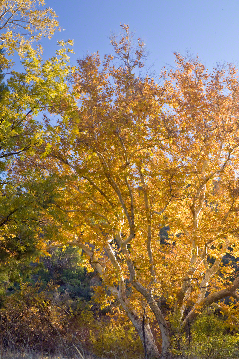
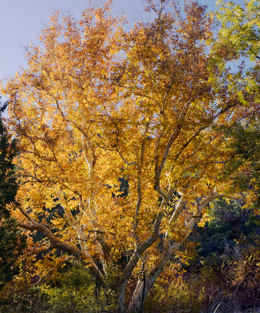
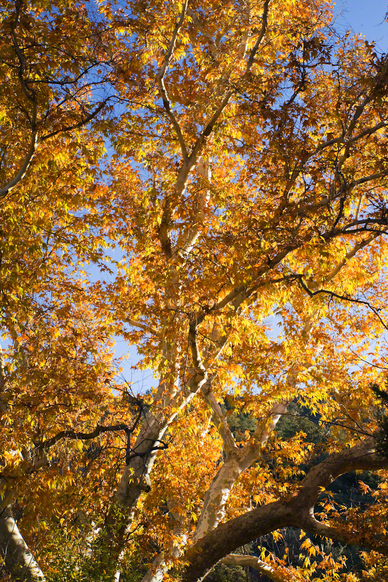
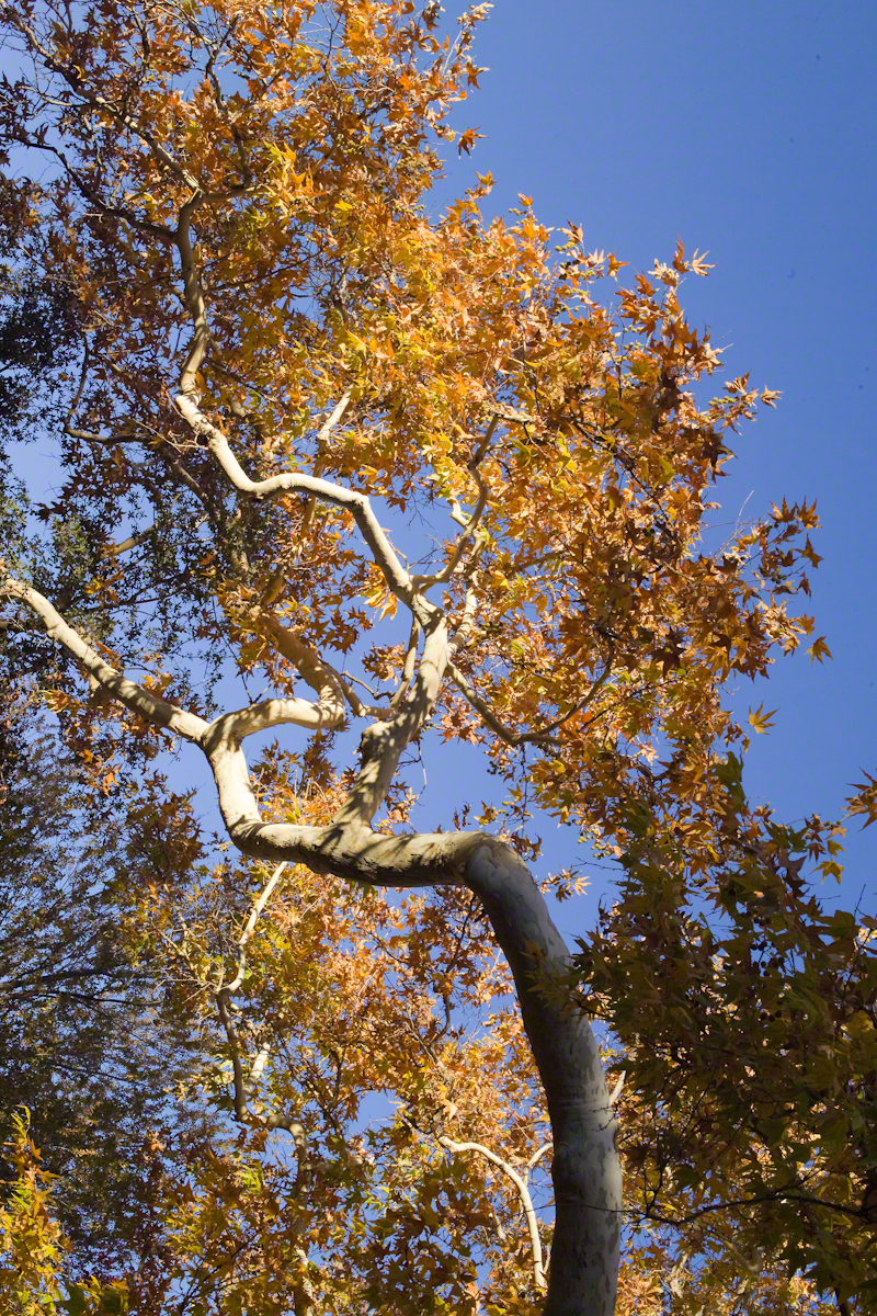
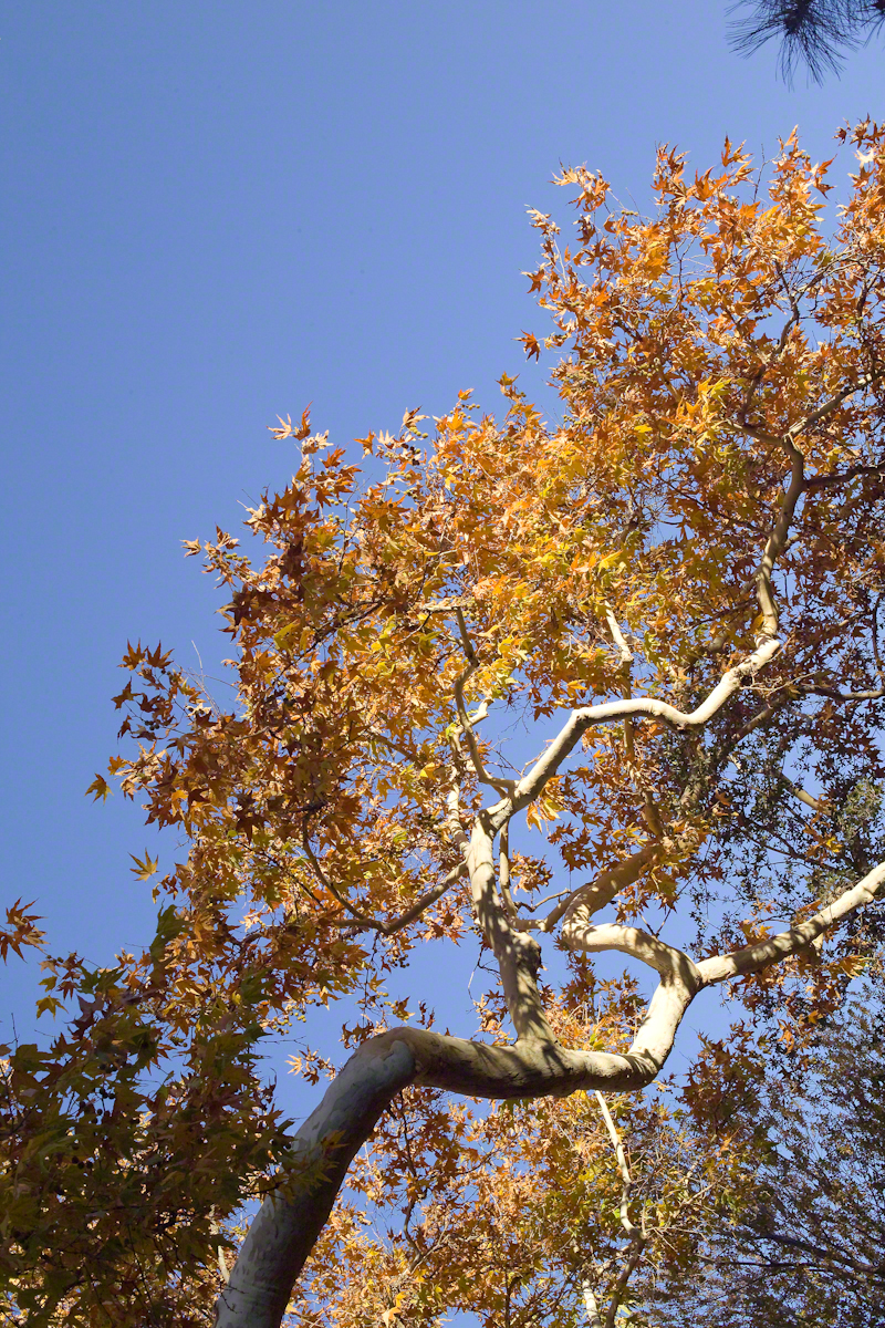
Compare these Arizona Sycamores with the struggling specimen from the last chapter, “A Peaceful Day at Pine Creek.” Many Sycamores such as this one flourish along Reavis Creek, a perennial stream of the eastern Superstition Wilderness. The drainage that feeds Pine Creek is far less acreage than that of Reavis Creek and, when the Pine Creek flow fades in the driest seasons, plants go into survival mode and halt growth and may even slough off limbs to conserve water.
These Sycamores grace a stream that seldom stops flowing, even in the driest of seasons. I had the good fortune to visit the Reavis valley of the Superstition Wilderness in November 2007, when these trees were at peak autumn foliage.
The tree requires a supply of water to thrive. This specimen demonstrates the species growth habit growing multiple trunks with a shape driven by water availability and the environmental context. The multiple trunks may be a desert survival mechanism. In dry periods a trunk or trunks are sloughed off to reduce moisture loss. This is why the Sycamore of “A Peaceful Day at Pine Creek” has a single trunk.”
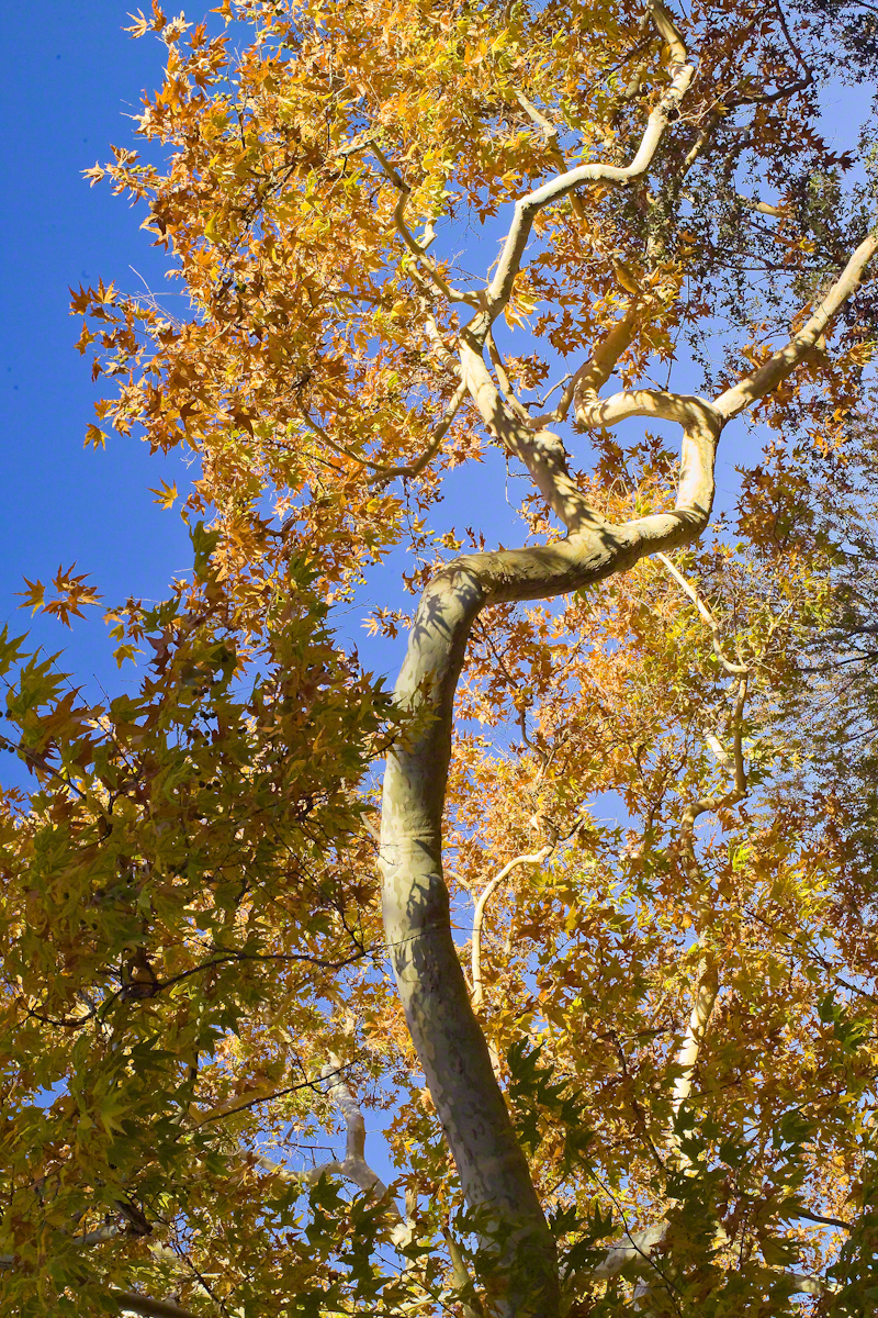
To encounter a riparian space of the Arizona desert is a revelation, to progress from Sonoran desert spaces assailed by the breath of dry wind, to see the first signs of water in the distance as a welcome fluttering of leaves, to feel a welcome odor of water.
Yes, the first effect of a riparian space on the senses is the smell of water. Let’s finish this post with limbs of the Reavis Creek Arizona Sycamore reaching for the sky.
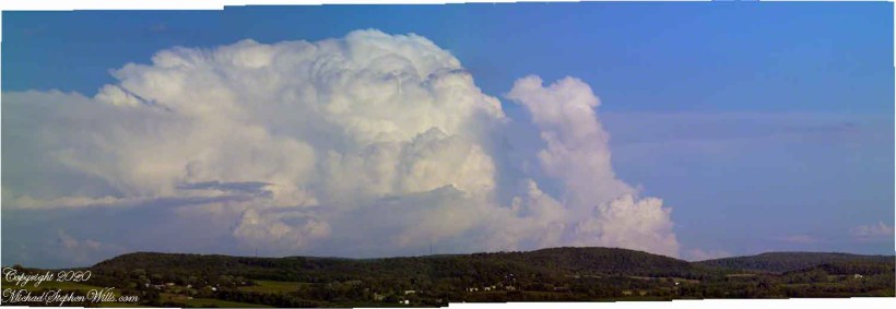
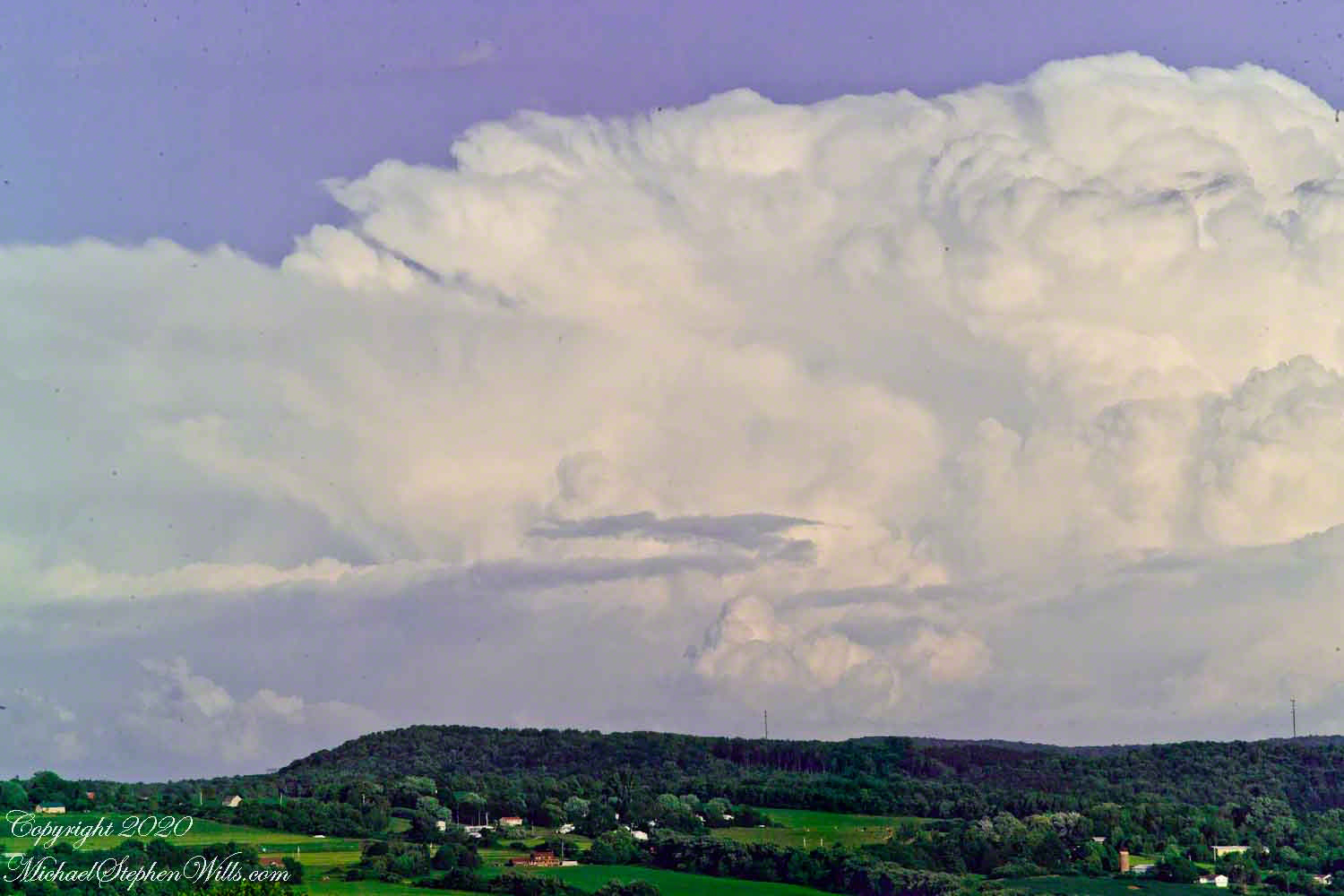
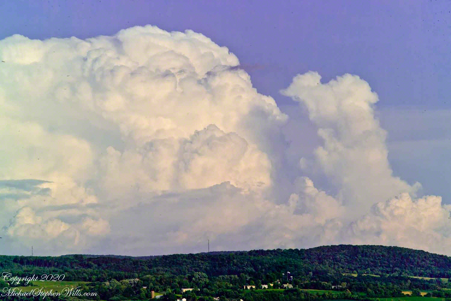
Travel to Fillmore Glen from our former home included a climb to an overlook of the Fall Creek valley, seen here on a summer afternoon in four parts.
Three exposures using a 50 mm Canon lens on a Kodak dslr. A tripod allowed me good orientation and, later, to use the Photoshop photoMerge feature to combine exposures into a panorama. At that time, I was limited to the 50 mm lens.
Copyright 2020 Michael Stephen Wills All Rights Reserved
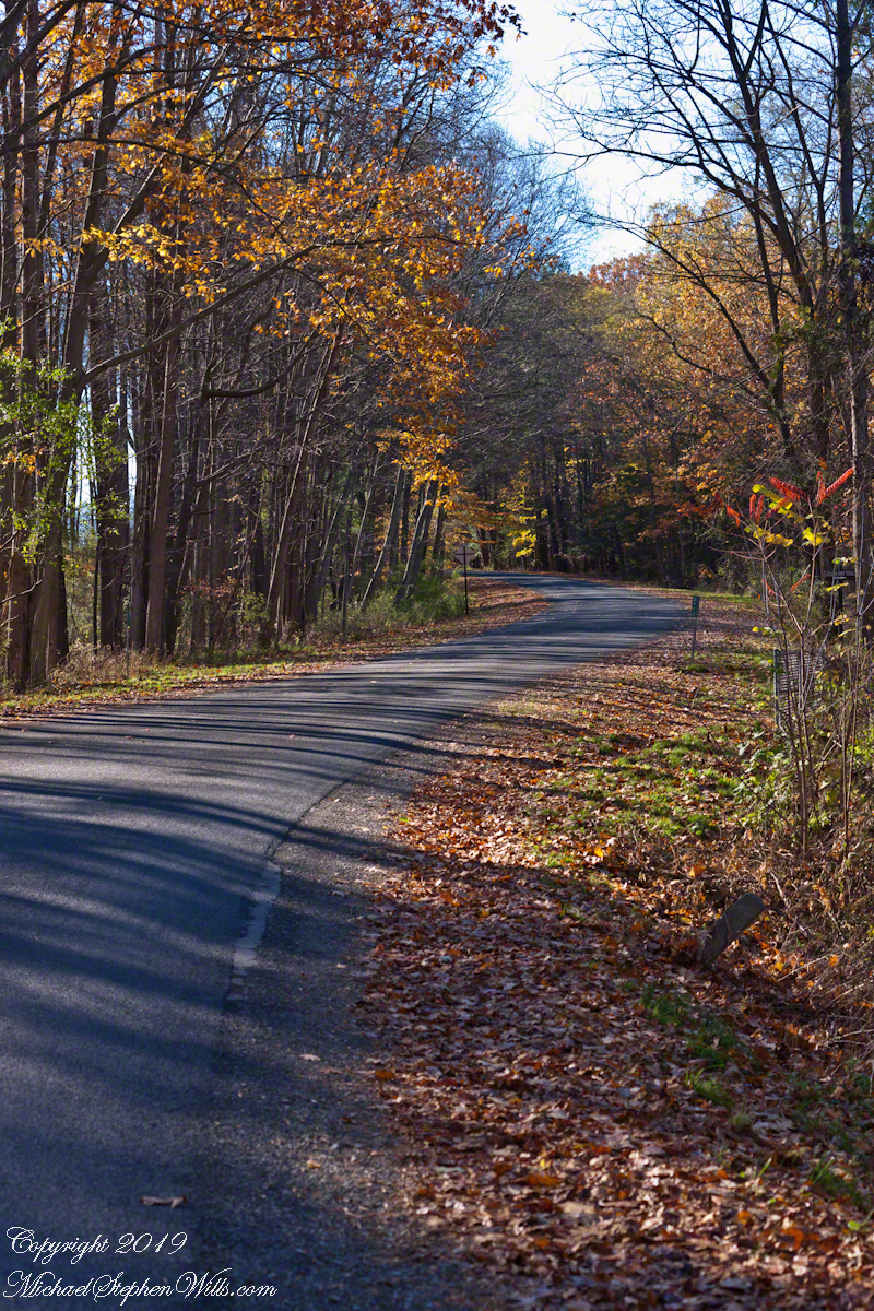
Early November on Gorge Road, Finger Lakes Region, New York State. At this month and latitude (42 north) there are long shadows throughout the day. The South Rim Trail of Taughannock Falls State Park briefly emerges from the wooded cliff to this portion of the road that parallels the gorge, descending to Cayuga Lake shores.
Click photograph for a larger view. To do this from WordPress Reader, you need to first click the title of this post to open a new page.
Gorge Road, early November
Three Views
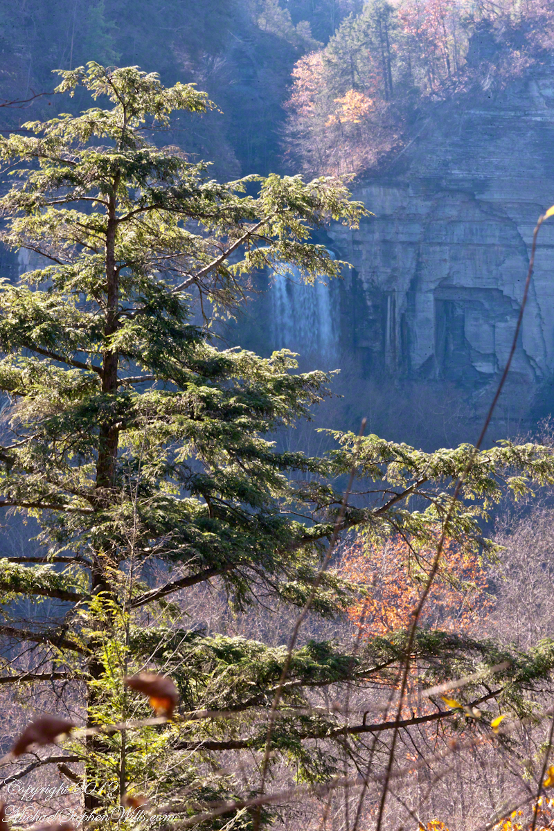
Distant View with Hemlock
Oak and Hemlock
Gorge Road, early November
Copyright 2019 All Rights Reserved Michael Stephen Wills
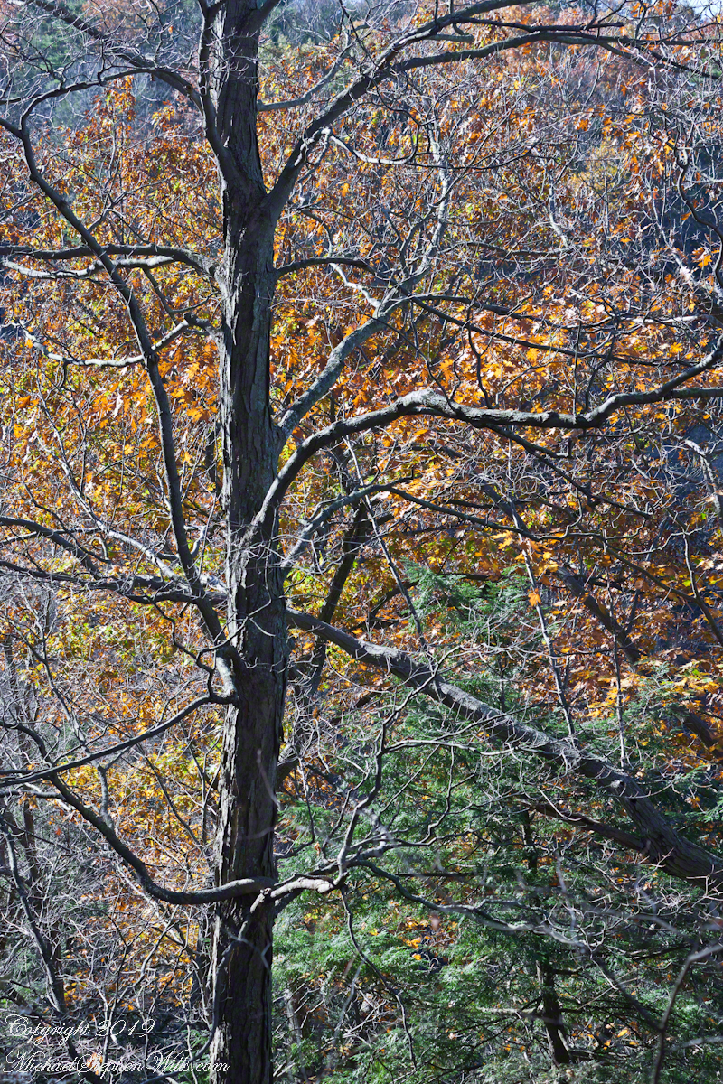
Early November trees, Taughannock Gorge, Finger Lakes Region, New York State walking the South Rim Trail we are among the upper reaches of trees clinging to the steep gorge walls.
Happy Birthday to my dear wife Pam.
Click photograph for a larger view. To do this from WordPress Reader, you need to first click the title of this post to open a new page.
Oak and Hemlock
Two Views
Distant View with Hemlock
Oak and Hemlock
Copyright 2019 All Rights Reserved Michael Stephen Wills
I am fascinated by this vantage from the South Rim trail. It is possible because the gorge bends almost 90 degrees, the gorge walls fall away to reveal the 215 foot waterfall.
Click photograph for a larger view. To do this from WordPress Reader, you need to first click the title of this post to open a new page.
Copyright 2019 All Rights Reserved Michael Stephen Wills